Trail Name: Wiesen, Wein und Treue Weiber (Fields, Wine and True Women)
Trail Type: Mid-distance circuit; varied surfaces (grass, dirt, paved); mostly well-maintained, but the route itself is not specifically marked.
Length: 13.5 kilometers/8.5 miles
Convenient to: Heilbronn, Germany
Marking: None uniquely specific to the trail’s itinerary. The photo below merely indicates first marking. (See the itinerary below.)

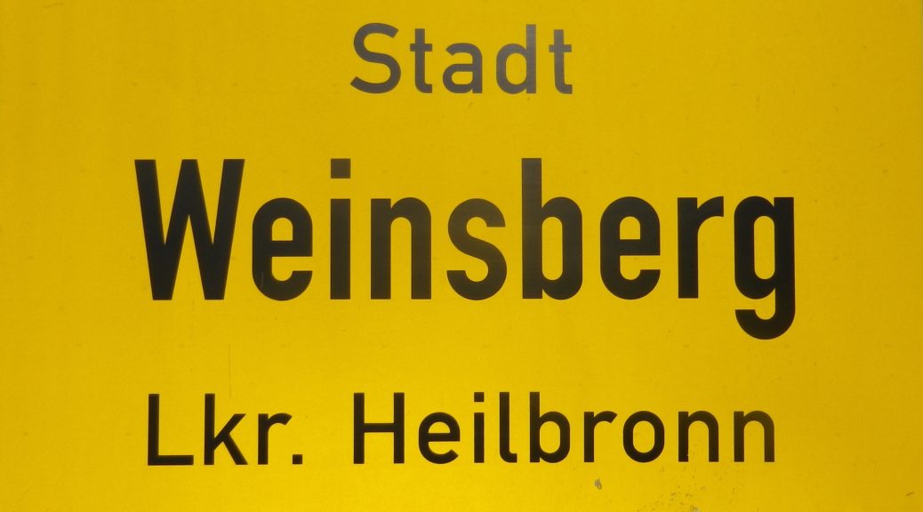
Trail Description: This delightful trail circles the fascinating little town of Weinsberg (Wine Mountain). The trail incorporates the hills, fields and forests around the town, as well as famous sites within the town, including the “True Women” castle, the historic town center, as well as the wine school and cooperative within the heart of the town.
Trailhead: Train Station, Bahnhofstrasse, Weinsberg
Parking Possibilities:
Weinsberg: Uhlandstrasse, large lot
Heilbronn: Jaegerhausstrasse/K9550, lot in tree-line 300 meters before “Waldgastaette Jaegerhaus”
Public Transportation Options:
Rail: Local trains from Heilbronn (S4), or regional trains from Stuttgart to Heilbronn, then the S4.
Suggested Stages: Not applicable
Trail Itinerary-Reference Points:
Weinsberg: Schwabstr-Stadtseestr, past a stone hut, follow a red dot; shortly before a bridge, turn right to follow a blue dot; At Stadtseeweg x Steinsfelderweg, turn left, past a big barn; about 150 meters later, turn right to follow a grass path; continue past fishponds (Fischteichen), on Stadtseeweg, but turn right to head up through woods to the Waldheide (large fields on top of hill); head north and turn left onto large trail at the end of the fields, follow the blue “2”; Heilbronn: Waldgastaette Jaegerhaus (at Jaegerhaus 1), on K9550, then turn right, arriving shortly in vineyards. The trail follows between the vineyards and the forest following a blue dot. After about 2 kilometers (a bit over a mile), turn right into the forest toward Steinbruchweg, Weinsberg; Weinsberg: Steinbruchweg, under a railroad overpass, Pfaffstr-Seilerweg, Lindenstr-Buergerturmgasse, Burgweg to the castle (Burgruine Weibertreu); continue left/clockwise around the base of the castle grounds and vineyards. (At this point the trail followed the short wine education circuit called Wein und Rosen-rundweg); Hofbrunnenweg-Oehringerstr-Bahnhofstrasse.
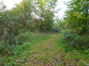
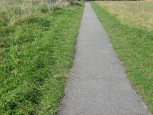
Representative Trail Photos:


Restrooms:
Weinsberg: Oehringerstr where it joins the main street (Hauptstrasse), underground
Attractions on or near Trail:
Weibertreu Castle: ruins, café and a small museum, detailing the amusing way this castle got its name!
Weibertreu museum: in the Rathaus, just below the steps to the castle ruins
Kernerhaus: museum in the house of a 19th century poet, after whom the Kerner varietal is named.
Roman bath ruins: open air display.
Historic town center with half-timbered houses, narrow alleyways and wine-drinking opportunities
Tasting along the Trail:
A couple of wine bars in town, plus a couple of wineries along the trail
Staatsweingut Weinsberg: locally grown and produced wine is sold here
Alternative Options:
Car: Wuerttembergische Weinstrasse, a self-drive, wine-themed route, drives past this town, and many others in this corner of Wuerttemberg
Additional Information:
Regional: http://heilbronnerland.de/
Trail (segment) specific: http://heilbronnerland.de/Redaktion/details/Wanderung-im-Weinsberger-Tal-WT1
Comments:
An easy and fun day excursion from Heilbronn or Stuttgart.
The trail link above contains a link to gpx coordinates. Given the changes in markings, if possible download, or at least view the map before starting this route. The pdf. tour route description is good, but in German only.
