Trail Name: Panoramaweg
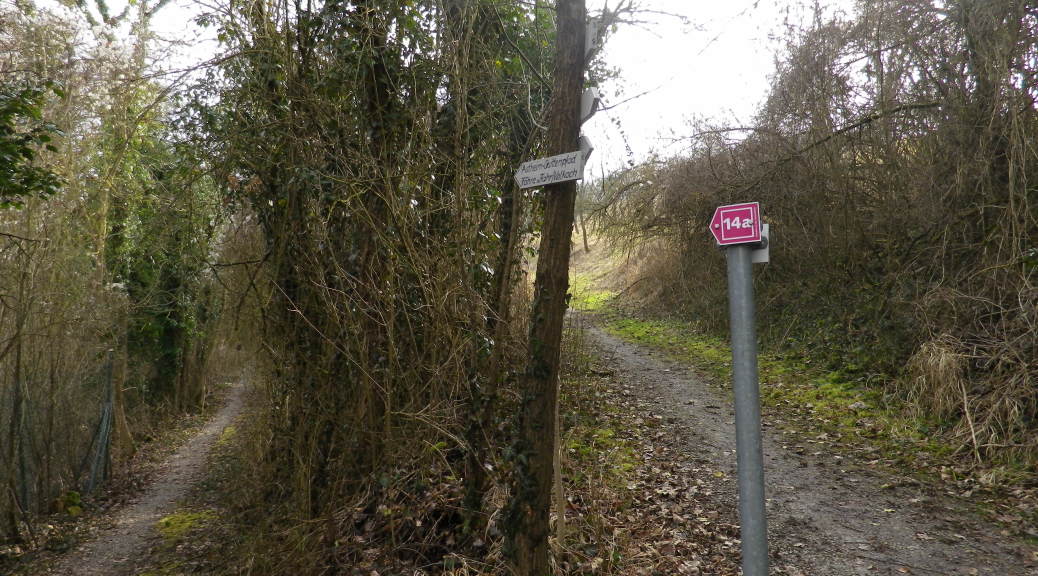
Trail Type: A mid-distance trail or circuit; some medium-difficulty ascents; almost exclusively hard-packed gravel or paved; well maintained and fairly well marked.
Length: totals:
Circuit: 15 kilometers/9.3 miles
Trail: 20 kilometers/12.5 miles
Convenient to: Wuerzburg, Franconia, Germany
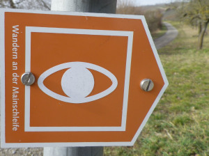
Marking: Orange background with a white stylized eye

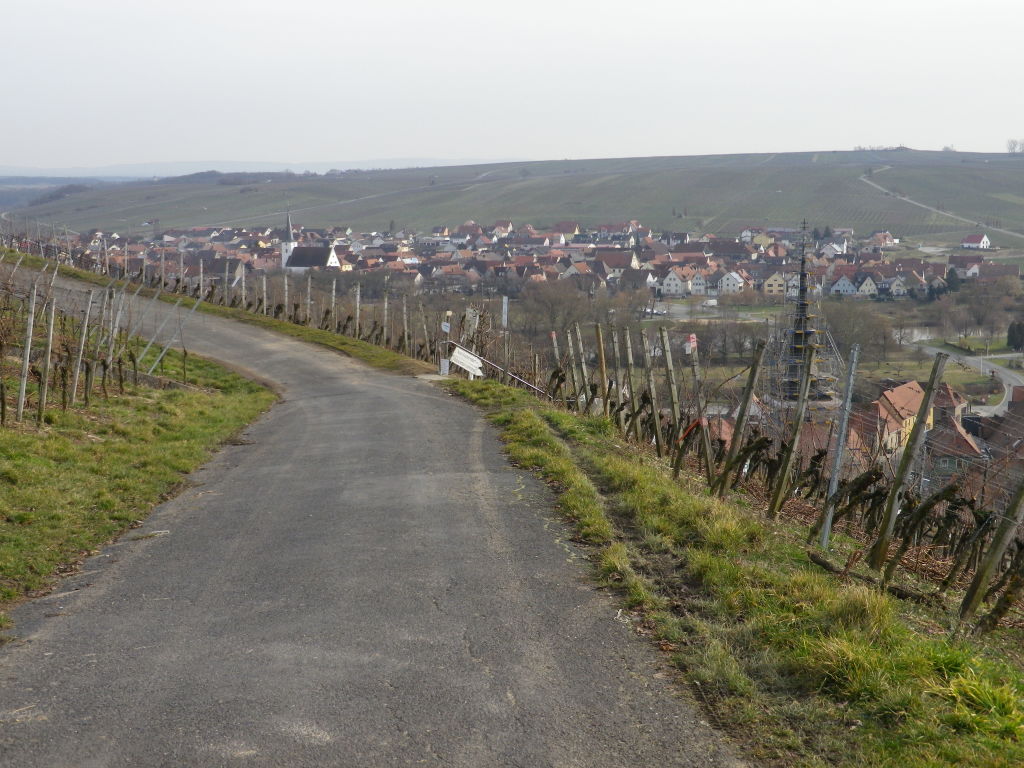
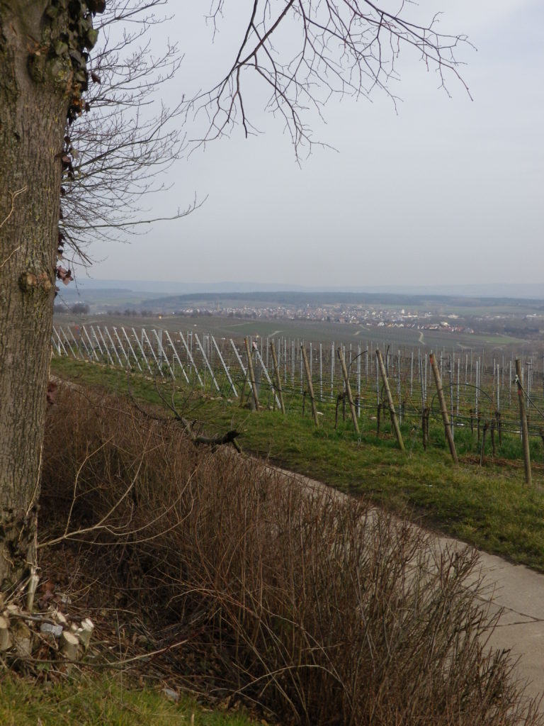
Trail Description: This is a hike that begins in a small town. It then climbs up and over the ridges lining the Main River, while passing through some of the most renowned vineyards in this region with wonderful views of the Main River valley and the “Wine Island,” in this quiet corner of Franconia. There is a mandatory rest stop: when crossing the river by a small ferry!
Trailheads: Volkach – Volkach, (Alternatively: Fahr-Fahr)
Parking Possibilities:
Volkach:
P5: intersection Fahrerstr and Gaibacherstr (by Freibad)
P4: about 50 meters south of the intersection, on the opposite side of the street
Volkach: 2 parking lots off Volkacherstr, leading out of Volkach-Astheim
Fahr: a few parking spots near the ferry landings on both sides of the river, (Maingasse, Fahr)
Public Transportation Options:
Bus: Danzberger Buses, line 8105, stops at Volkach, Kaltenhausen, Weisses Haus, Vogelsburg, Astheim for transportation when on the trail. See Schedules at http://www.danzberger-reisen.de/index.php?content=linie&p=40%7C43&cms_usersession=c14dc6f8a6eb6bdf1092ceb83d2336af
Rail: Deutsche Bahn has indirect service to Volkach from Wurzburg via rail with a transfer to bus.
Suggested Stages: Not Applicable
Reference Points on Trail Itinerary: Volkach: Freibad – Kirchbergweg – Maria im Weingarten, vineyards; Fahr: KT 34/Moenchbergstr – KT32/Maingasse – ferry; Brauerei Kaltenhausen (with a (seasonal) biergarten!); Weisses Haus; small oratory, vineyards; Vogelsburg; Astheim: Kartaueserstrasse – Kartause Museum – Bridge over Main
Representative Trail Photos:


Restrooms:
Volkach: Rathaus, Marktplatz/Schulgasse
Attractions (along the trail) :
Volkach: small town, with some old walls and gate towers still intact, a pretty Marktplatz, and main street lined with well-maintained houses from diverse architectural periods. Some wineries are in town, and open for business!
Vogelsburg: Carmelite Cloister as of 1282, donated initially by the Frankish kings to Fulda; Closed until July 2015.
Volkach-Astheim: Karthaus Museum, this former cloister houses a collection of religious art from Nativity scenes to other artworks dating from the 13th to the 19th centuries.
Tasting along the Trail: Wineries and taverns mostly in Volkach center, and a couple in Fahr
Alternative options:
Walking: Fahr’s Obst-Wein route covers some of the same northern territory, for only 3 or 8 kilometers.
Running: This route is ideal for running (except for the mandatory ferry trip break)!
Biking: Except for a short (half a kilometer) distance uphill from Kaltenhausen, this route is suitable for bikes, (and strollers.)
Additional information:
Regional: http://www.volkach.de/fuehrungen_und_aktivitaeten_uebersicht_de,213.html
Trail (segment) specific: http://www.f10479.de/volkach_panoramaweg.html
Comments:
Online sites displayed the Panoramaweg as a circuit. However a hardcopy map, while indicating the possibility of a circuit, describes a trail, 5 km longer, beginning in Fahr, passing clockwise through Volkach, Astheim, Escherndorf, ending in Neuses am Berg. Except for the leg in Escherndorf leading down through the vineyards to Neuses am Berg, the circuit route covers the same territory.
This trail has little shade along the route!
The little ferry in Fahr am Main runs almost all day, and almost every day of the year, but fewer hours in the winter than the summer. It takes bikes and cars as well as passengers. Check the schedule at http://www.fahr-am-main.de/mainfaehre.html
