Tag Archives: Tuniberg
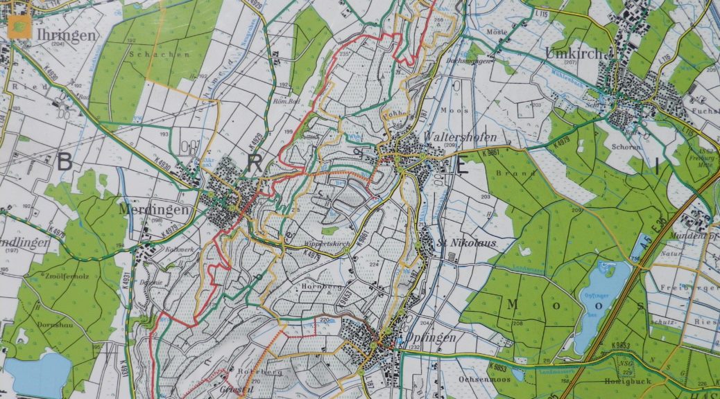
Burgunderpfad: Trail in a Nutshell
Trail Name: Burgunderpfad
Trail Type: Long distance hiking trail; varied surfaces from grass to hardpacked dirt, to asphalt; well maintained, and mostly well-marked.
Length:
Total: 27.5 kilometers/ 17 miles
Segment (mine): Gottenheim to Munzingen: 17.5
Convenient to: Freiburg, Germany
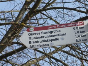
Marking: Purple grapes with light green terraces in profile, in a white circle, on a red stripe
Wine Notes: Baden’s Tuniberg
What I Learned
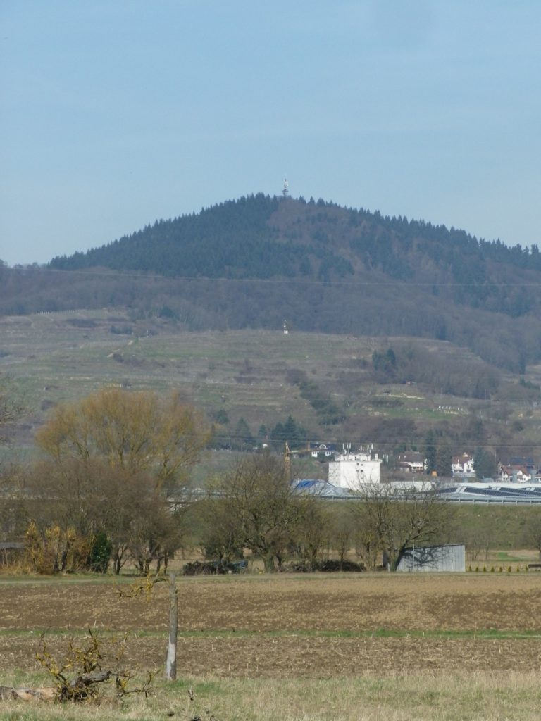
The smallest of all Baden wine districts lies within the largest, the Kaiserstuhl. The Tuniberg is an enormous bank of limestone, geologically quite distinct from the surrounding volcanic Kaiserstuhl. It is an elevated area, separated from the Kaiserstuhl by a broad valley, and it is further away from the Rhine.
The Burgundies Path
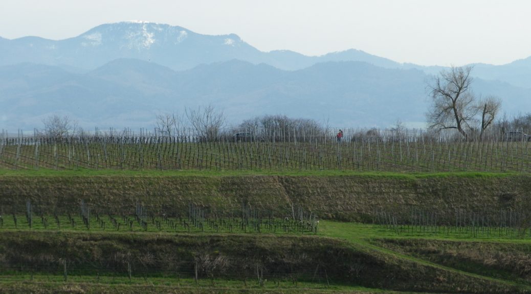
When I think back on all the wine-themed hiking paths I have done, the Burgundy Path in southern Germany will always be one of my favorites. What is not to like about this trail through peaceful agricultural land, and laid-back villages, in Germany’s warmest, sunniest and driest area!
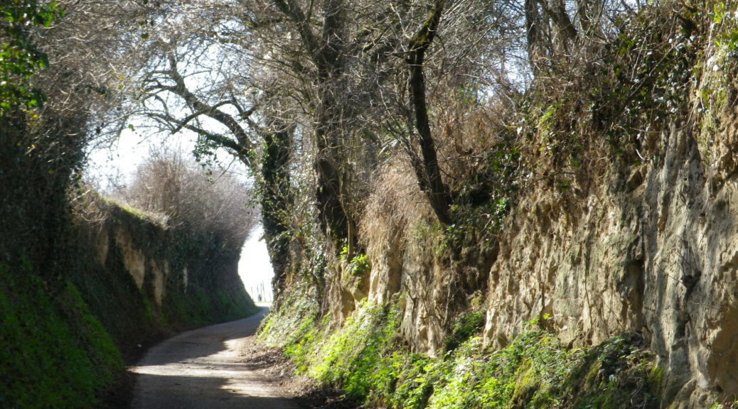
The Tuniberg is by the Kaiserstuhl, a unique geographical outcropping formed by volcanos. However, the Tuniberg, on the southern edge, is a giant bank of limestone, which extends roughly north-south for over a dozen miles. Its sometimes steep slopes stand higher than the Rhine River valley lands around it. This affords great sun and wind exposure, which combined with a goodly amount of sun for an area this far north, and limestone soils, makes it the “Burgundy Oasis” in Baden.
