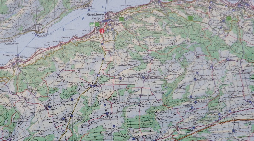
Trail Name: Rebwandern am Untersee (Grape Hiking on the Lower Lake)
Trail Type: Medium distance; almost exclusively paved, well maintained, but the route itself is not exclusively marked.
Length: total: 15.4 km/9.5 miles
Convenient to: Constance (Konstanz), Germany; Kreuzlingen, Switzerland
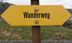
Marking: Yellow “Wanderweg” signs only; some indicating direction and distance to towns and villages.
Continue reading Rebwandern am Untersee: Trail in a Nutshell