Tag Archives: Seinsheim
Communing with Vines
This hike can be defined as slow hiking. According to the Cambridge Dictionary, slow hiking is the act of going on a long walk through countryside, without the pressure of going fast, or climbing hills, or making a distance. It is meant to be an activity accessible to all fitness levels, that predisposes participants for actually enjoying nature. Thus, it sets up a framework for communing with nature.
The Steigerwald area I hiked is ideal for slow tourism, defined as far from mass tourism sites, with a focus on local culture, history and traditions. It is characterized by low (and slow) mobility, emphasizing sustainability. The Steigerwald wine district is surely Franconia’s least known district. Iphofen (see here), and Bad Windsheim (see here), are the two biggest towns – delightful, but small. Agricultural pursuits, mostly devoted to vines and grains, cover much of the rest of the area. Thus, I could slow hike in a slow tourism area, and take time to reflect on vines and communities supporting them.
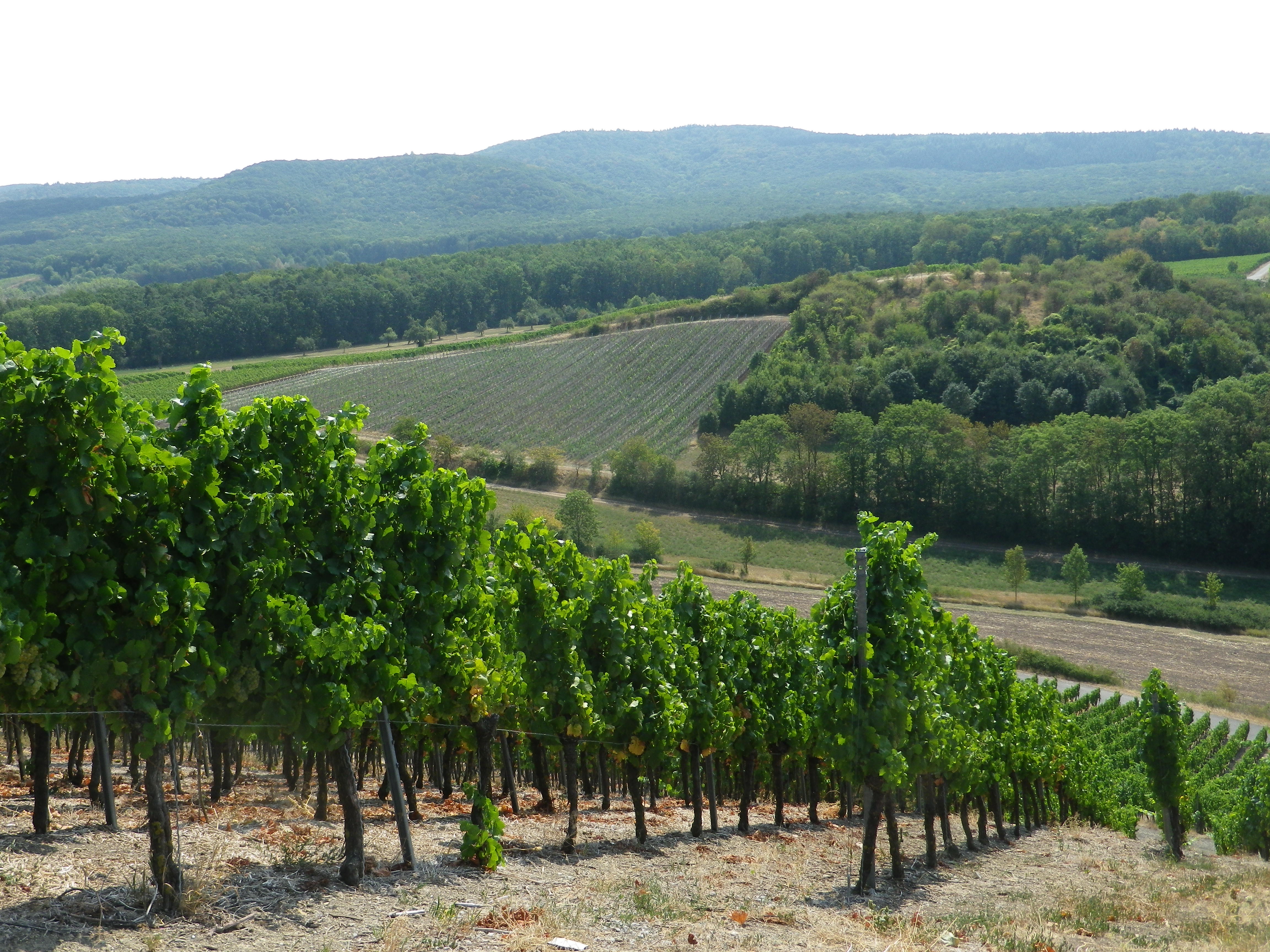
Mainly though, this area is known for the Steigerwald Nature Park, which covers about 431 square miles, in the Franconian/Bavarian border area west of Nuremberg. The hills are heavily forested and popular with some hikers for their unspoiled nature. My hike though, on the southwest corner of the park, lay right at the junction of the trees and vines. Not only could I enjoy both vineyards and forest, I could do so in peace and quiet.
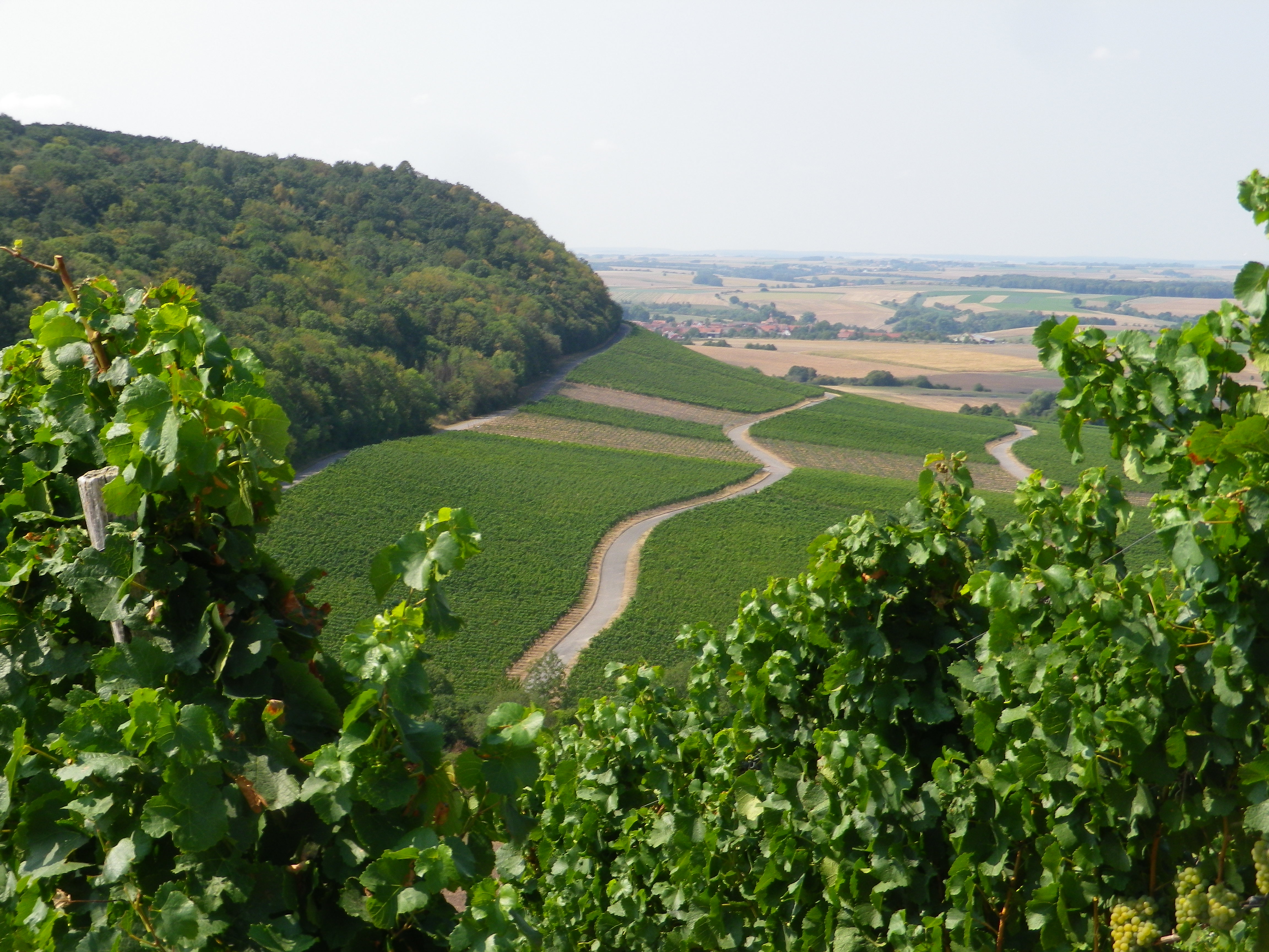
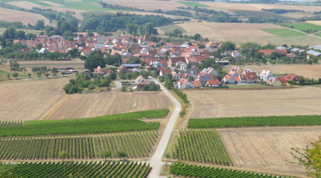
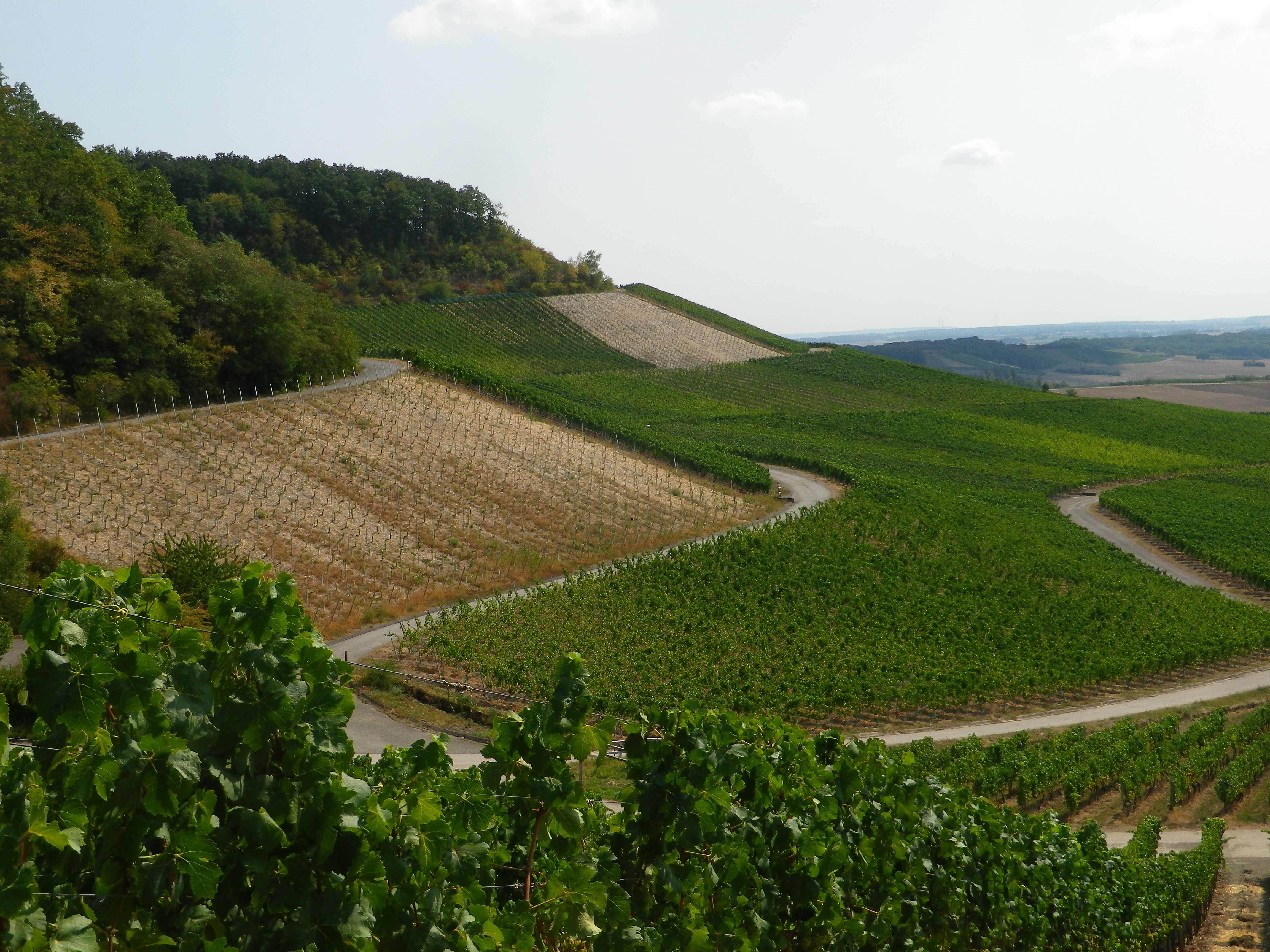
I began just below the Weinparadiesscheune, a popular wine-bar with local wine (and food) on offer. Early morning patrons, on that warm, sunny late August day, began to fill up the outdoor seats. This part of the hike remained on asphalt as it went up the western side of the hill, along the upper reaches of vines facing the villages of Bullenheim, Seinsheim and Huettenheim.
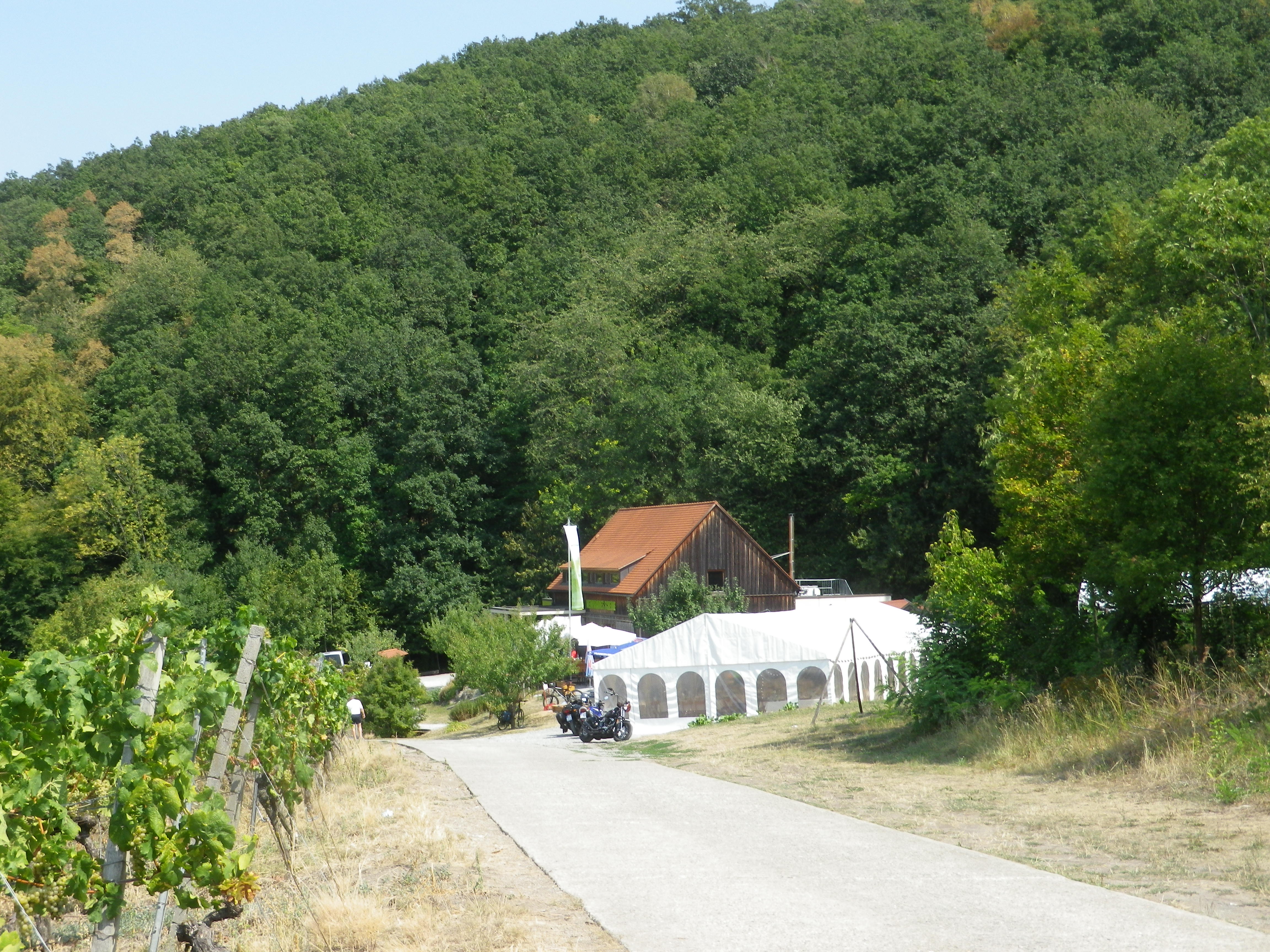
Vintners from these small villages work the vines on the short, but steep, slopes, producing Silvaner, Mueller-Thurgau and Bacchus wine, named after the Greco-Roman god of wine. The Bacchus varietal is relatively new, but it has taken hold in this region (one of the few places it may be found). Like the god, Bacchus wine is popular, and inspires (when taken in moderation, of course!)
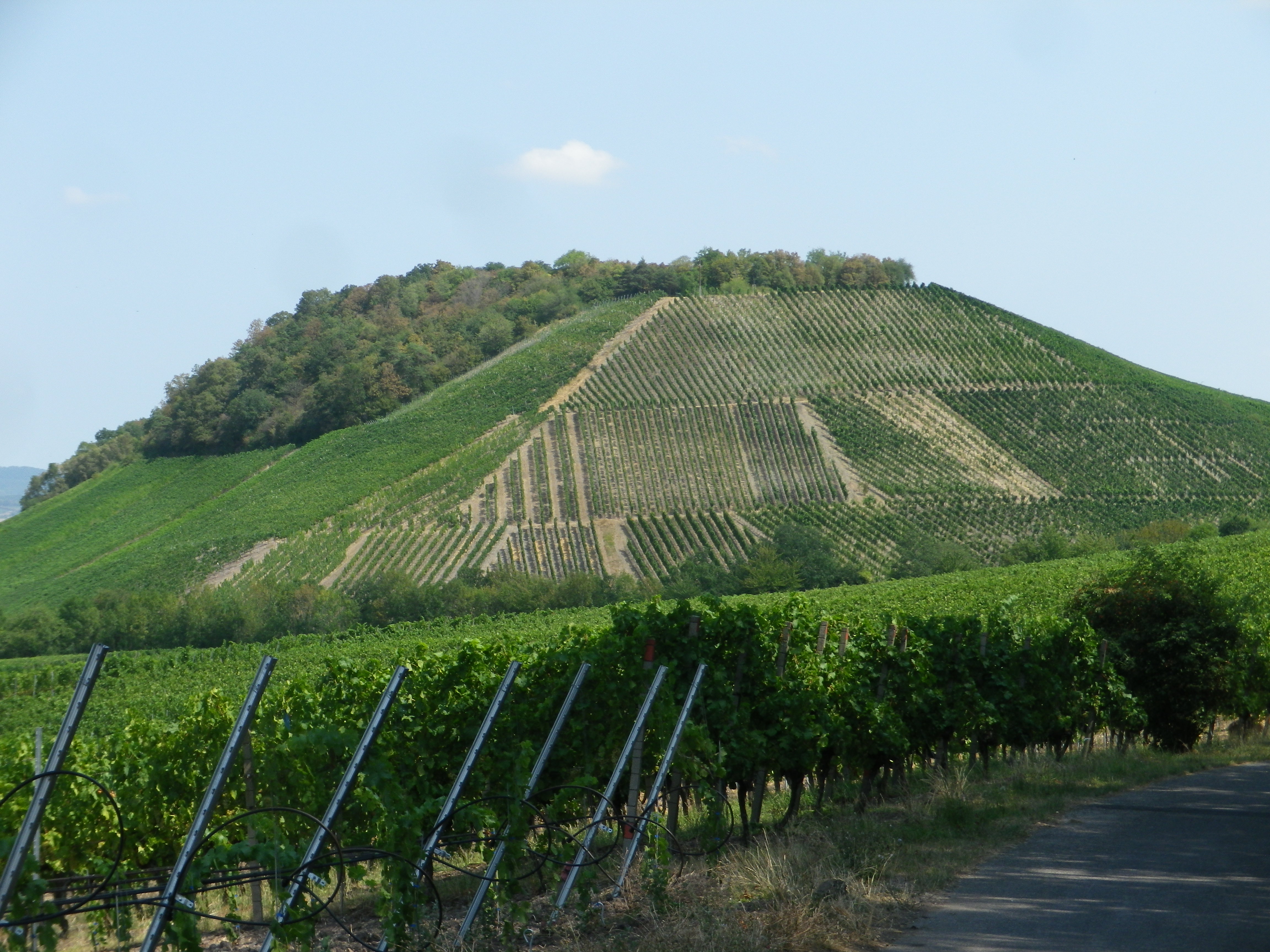
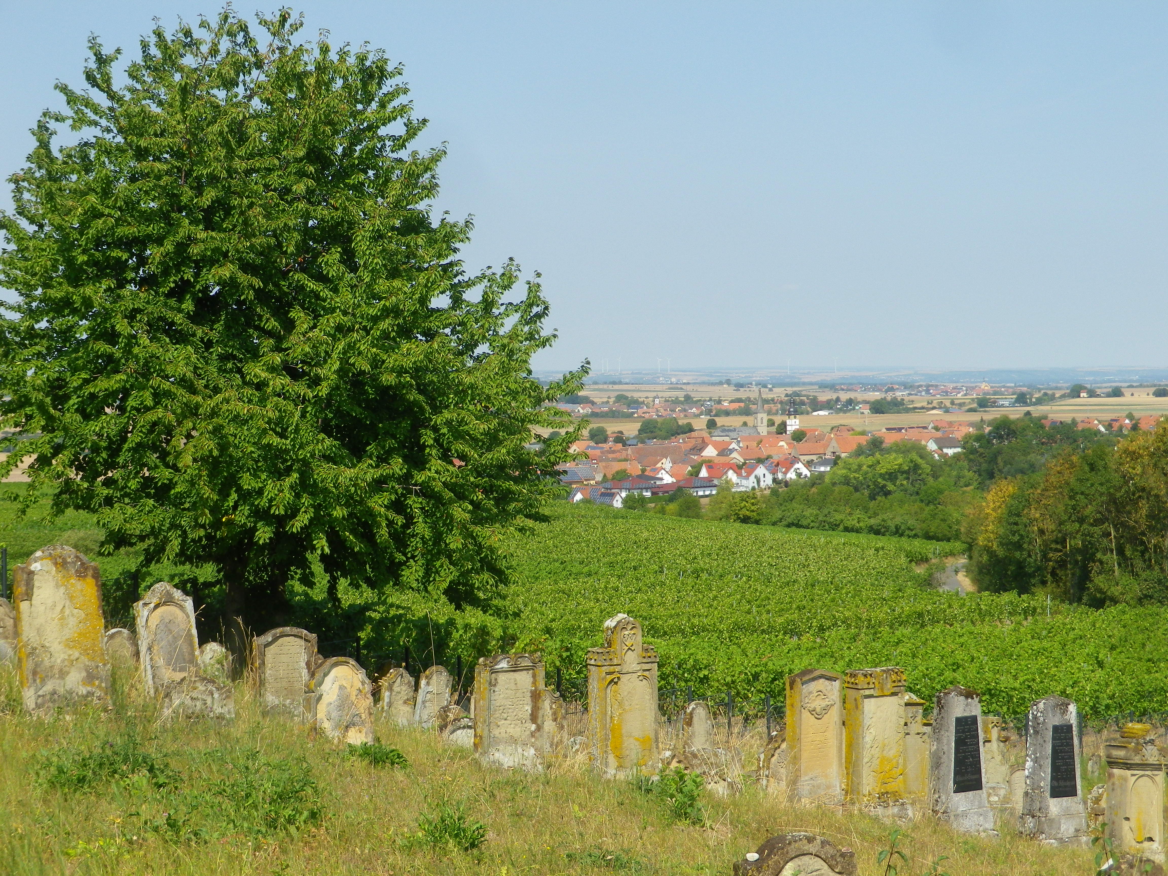
After a steep climb off the asphalt and into the woods, I was onto the Tannenberg (Pine Mountain), nowadays mostly devoid of trees and covered in vines instead. On the north side of this hill overlooking Huettenheim, there is a Jewish cemetery. In a quiet spot, well suited for contemplation, reminiscent of two similar cemeteries in remote areas of Baden I’d seen, recalling that once vibrant Jewish communities coexisted within even remote villages.
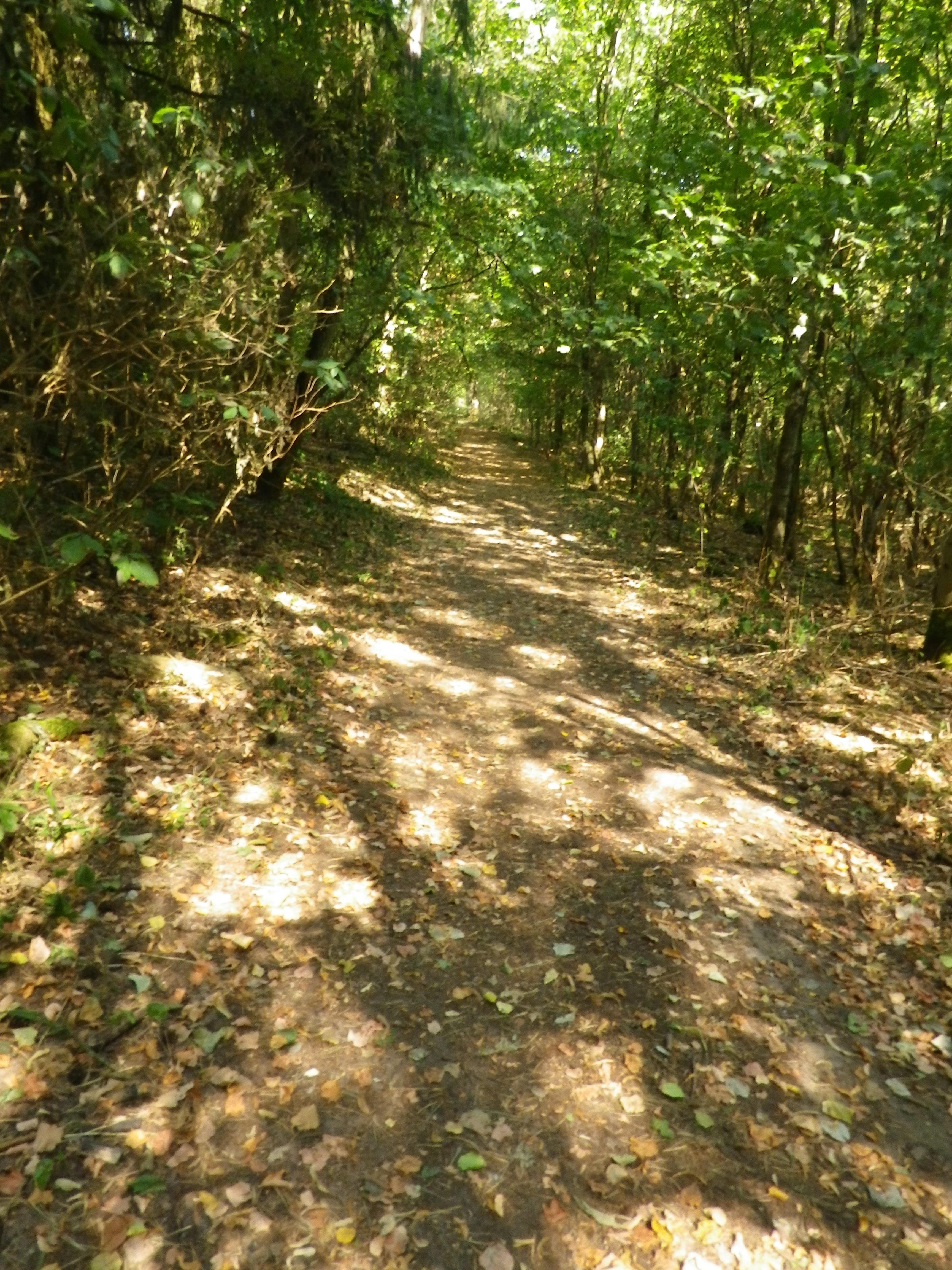
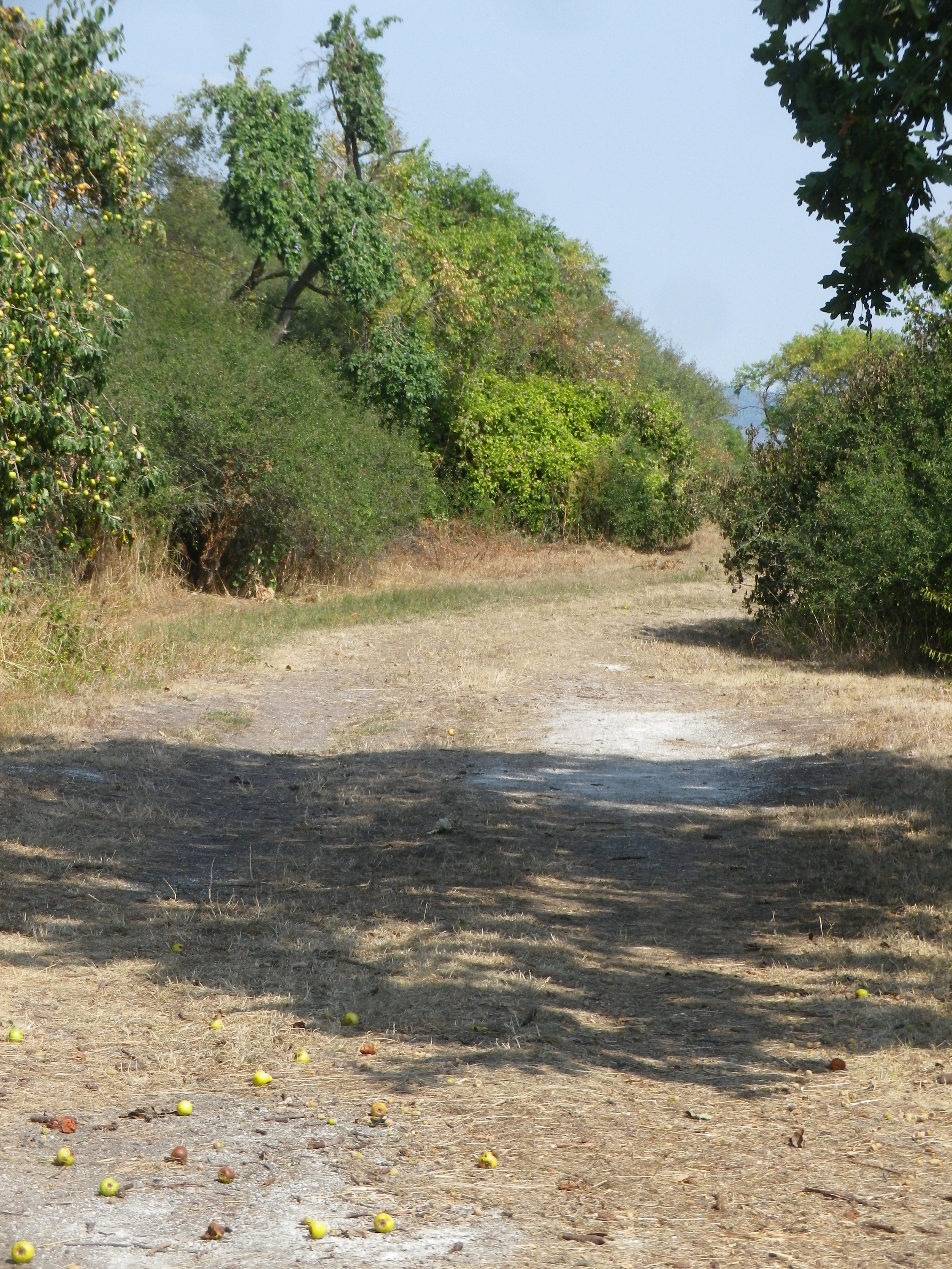
After that, the trail ran south along a shallow valley separating it from the main Steigerwald park. Once leaving the Tannenberg hill, the trail entered woodlands again. As the modest incline increased so did the heat, but fortunately now, the meandering trail was shaded by majestic trees.
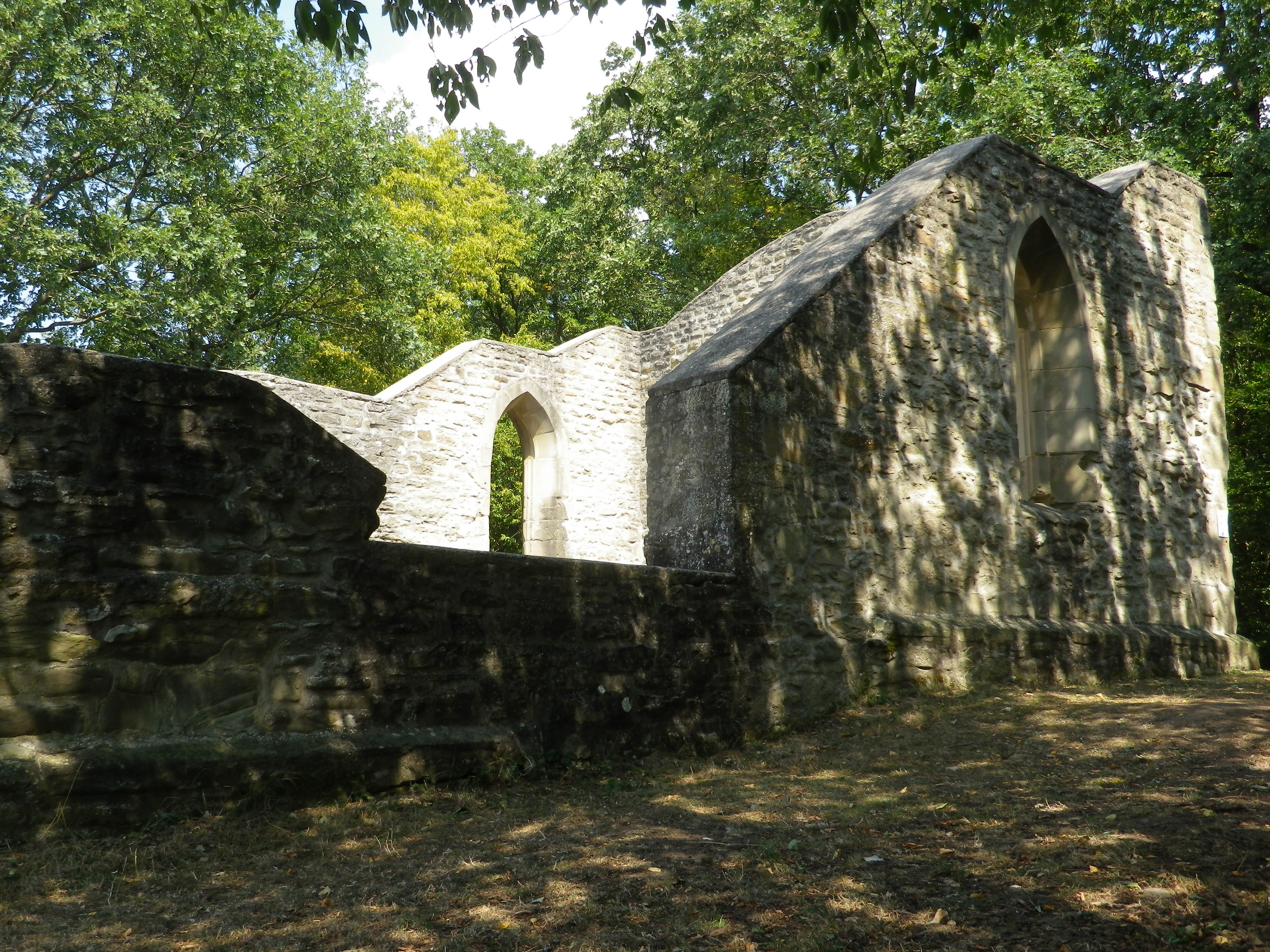
It was in this same forest, according to legend, that Empress Kunigunde, lost her way. She made an oath to God that she would found a church there, if she could find her way out of the woods. Sure enough, right off the trail lay the ruins of Kunigunde’s church. (The only problematic issue being the fact that the ruins date to about 400 years after her death in 1033.) Nonetheless, they provide a nice opportunity to relax, soak up the atmosphere of an earlier era, and enjoy the birdsong.
After my contemplations on a Greco-Roman god, a Catholic church, and a former Jewish community, I realized that like the Greco-Roman communities of old, and the Jewish and Catholic communities, all shared an appreciation of wine that transcended their differences. Such is often the way with wine aficionados as well. Completing the circuit, I made my way back to the Weinparadiesscheune, to enjoy a glass or two of the local wine, made right here, in full communion with nature and fellow wine-lovers, as has been done for centuries.
Traumrunde Huettenheim-Seinsheim: Trail in a Nutshell
Trail Name: Traumrunde Huettenheim-Seinsheim
Trail Type:
Short-distance circuit; well-maintained and almost exclusively paved or hard-packed, marking on the trail fairly good
Length:
Total – 8.7 kilometers/ 5.4 miles
Convenient to:
Ippesheim, Franconia, Germany
Marking:
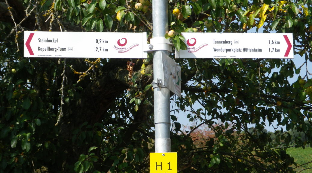
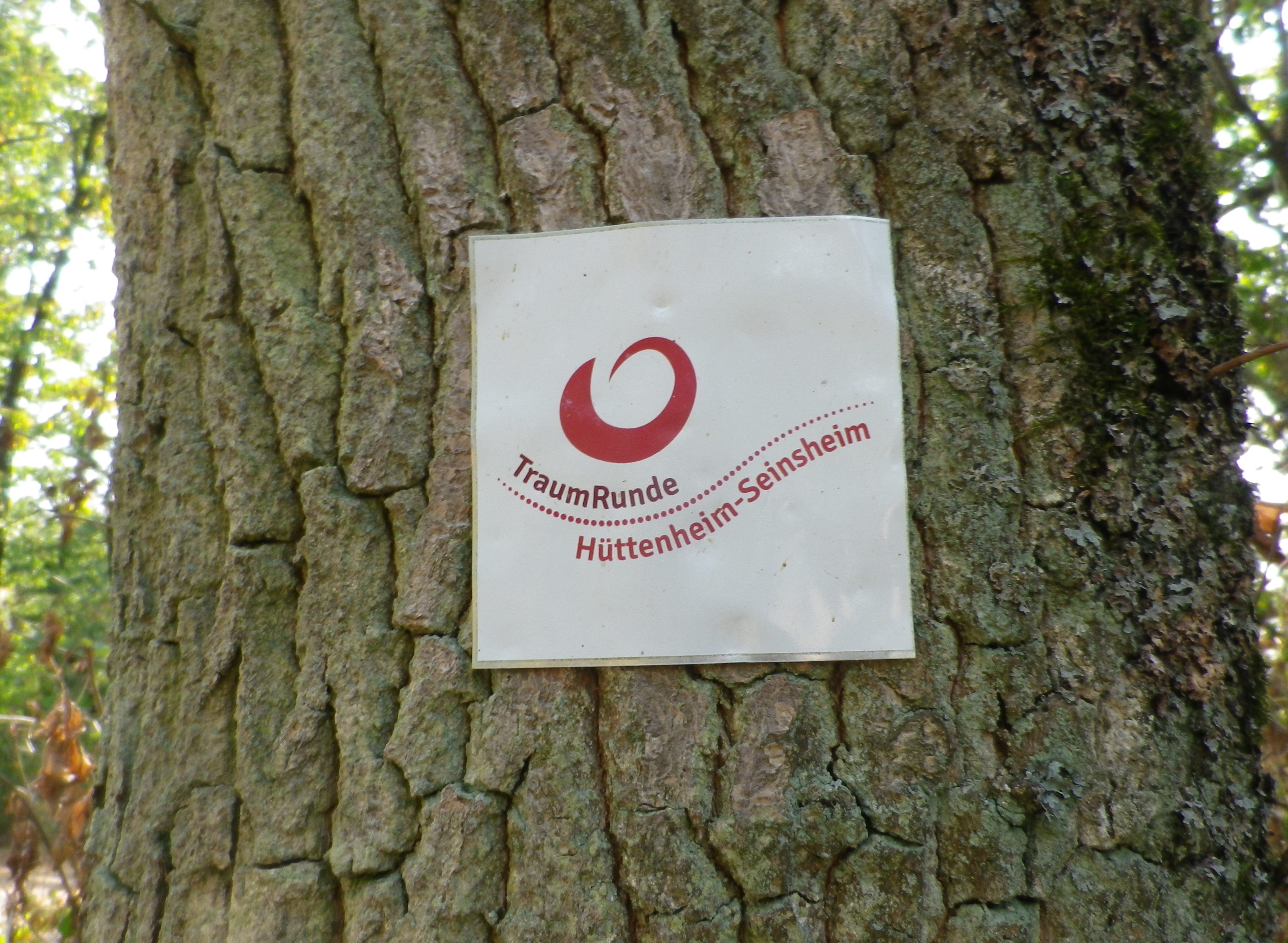
Square with white background, and red lettering reading “Traumrunde Huettenheim-Seinsheim”
Trail Description:
A meandering circuit, with moderate ascents and descents, as it circles the irregular upper contours of a vine-planted hill on the southwestern edge of the large Steigerwald Nature Park
Trailhead:
Can be anywhere on a circuit, but from a parking perspective, the parking area just below the Weinparadies Scheune is a convenient place to start.
Parking:
Bullenheim: Follow the signs to the Weinparadiesscheune, and before arriving, you will see a small area for hikers’ parking
Public Transportation Options:
Bus: Available to surrounding villages (Bullenheim, Seinsheim, Huettenheim), but not practical
Suggested Stages: (Not applicable)
Trail Itinerary-Reference Points: (Clockwise)
Huettenheim: Jewish Cemetery, Vineyards, two little ponds, forest; Kapellberg overlook, Kunigundenkapelle, scenic overlook, parking lot, Weinparadiesscheune Seinsheim; Steinbruch am Kunigundenwald, picnic area, Tannenberg Kreuz, Wanderhuette am Juedischen Friedhof
Representative Trail Photos:
Restrooms:
(Only observed at the WeinparadiesScheune)
Attractions on or near Trail:
Some wine education tables located intermittently along the trail.
Tasting along the Trail:
Weinparadiesscheune Seinsheim, directly on the trail
Small wineries and taverns in Bullenheim, Seinsheim and Huettenheim, all slightly off the trail
Alternative Options:
Hiking: TCW 49: Durch Fraenkische Weinparadies: a 12.9 kilometer circuit, through much of the same area, but, more challenging ascents and descents, and about 2 miles longer. See https://www.outdooractive.com/de/route/wanderung/steigerwald/tcw-49-durchs-fraenkische-weinparadies/227470702/
Additional Information:
Regional: https://www.ippesheim.de/
Trail specific: https://www.outdooractive.com/de/route/wanderung/fraenkisches-weinland/traumrunde-huettenheim-seinsheim/9552201/#dm=1
Comments:
Few parking lots, per se, just parking on the edges of lanes. So please be conscientious and respectful when parking road-side in the villages or vineyards.
