Tag Archives: Rheinland-Pfalz

Rotweinwanderweg: Trail in a Nutshell


Trail Name: Rotweinwanderweg (Red Wine Hiking Trail)

Trail Type: Long distance; surface footing is all hard, be it on tarmac or hardpacked earth to stair-steps; very well maintained, and extremely well-marked.

Length:

Total: 35.5 kilometers / 22 miles

My segment: Altenahr to Marienthal (@15 kilometers / 9 miles)

Convenient to: Bonn, Germany

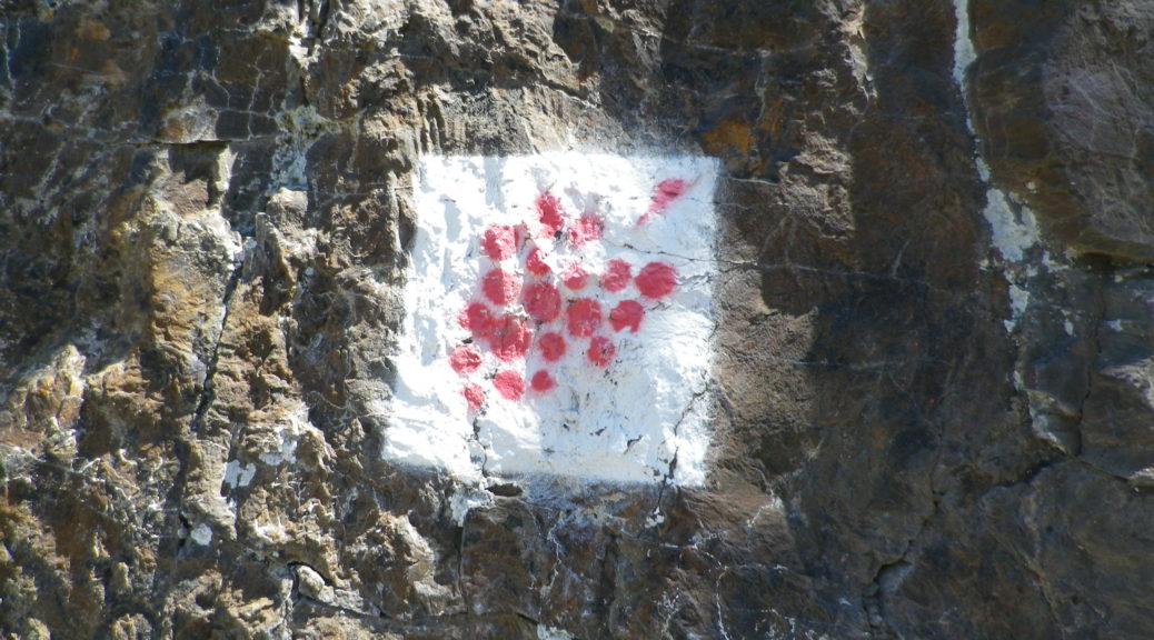
Marking: Red grapes on a white background

Trail Description:

This outstanding trail had a lot of variety – from the scenery, to the trail surfaces, with just enough challenge to make it fun. Sun and shade alternated as the trail passed from woods to vineyard. Judging from the numbers of couples and small groups, it is a popular trail, easily accessible from a number of points throughout its length, and one that offered several great wine taverns, as well as occasional rest areas with picnic tables, along the way.

Trailheads:

Altenahr: Seilbahnstrasse x B267

Bad Bodendorf : Bahnhofstrasse x Moselstrasse

Parking: (Altenahr to Heppingen only)

Altenahr: Seilbahnstrasse, a large lot

Rech: Brueckenstrasse (at the far end of the bridge)

Marienthal: Klosterstr, large lot at end of the improved road

Heppingen: Left off Burgstr, Parkplatz Friedhof, a large lot by the cemetery

Public Transportation Options:

Rail: Deutsche Bahn regional trains frequently service the Ahr valley, from Remagen to Ahrbruecke, with stops at all the villages/towns on the trail. (See the free ride tip below.)

Suggested Stages:

Altenahr to Mayschoss (4 km)

Mayschoss to Rech (3 km)

Rech to Dernau (4 km)

Dernau to Marienthal (4 km)

Marienthal to Walporzheim (3.1 km)

Walporzheim to Ahrweiler (3.4 km)

Ahrweiler to Bad Neuenahr (6.7 km)

Bad Neuenahr to Heppingen (2.2 km)

Heppingen to Lohrsdorf (2.5 km)

Lohrsdorf to Bad Bodendorf (2.1 km)

Trail Itinerary-Reference Points: (Altenahr to Bad Neuenahr only)

Altenahr: Altenburgerstr, Rossberg, trail for castle, then for Weisses Kreuz, vineyards, woods, more vineyards; Mayschoss: Weinhaus Michaelishof, Dorfstr, trail through vineyards, Rech: joins above In Der Aue; vineyards, then woods; Dernau: vineyards, cross K35, cross Bachstr, vineyards; Marienthal: Klosterstr; past the Kloster Marienthal winery, then ruins; Vineyards and woods, past Weingut Forsterhof; Bad Neuenahr-Ahrweiler: Im Teufelbach-Am Silberberg, vineyards, cross Elligstrasse, vineyards; Lantershofen-Grafschaft: cross L83/Hemmessener Str; Bad Neuenahr-Ahrweiler: cross over A573, vineyards; cross top of Bergstr, woods; Cross under A61; Heppingen: Jahnstr, past cemetery, cross Burgstr, woods, then vineyards; Lohrsdorf: Ritterstr, Grosser Weg, B266, vineyards, woods; Bad Bodendorf: Heerweg, turn at Winzerverein Bad Bodendorf onto Bahnhofstr.

Representative Trail Photos:
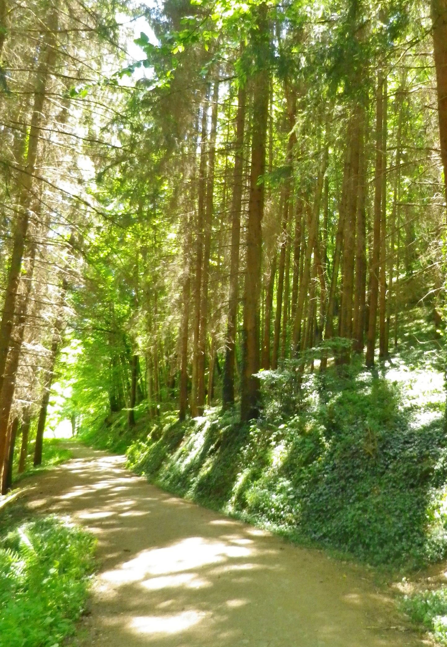
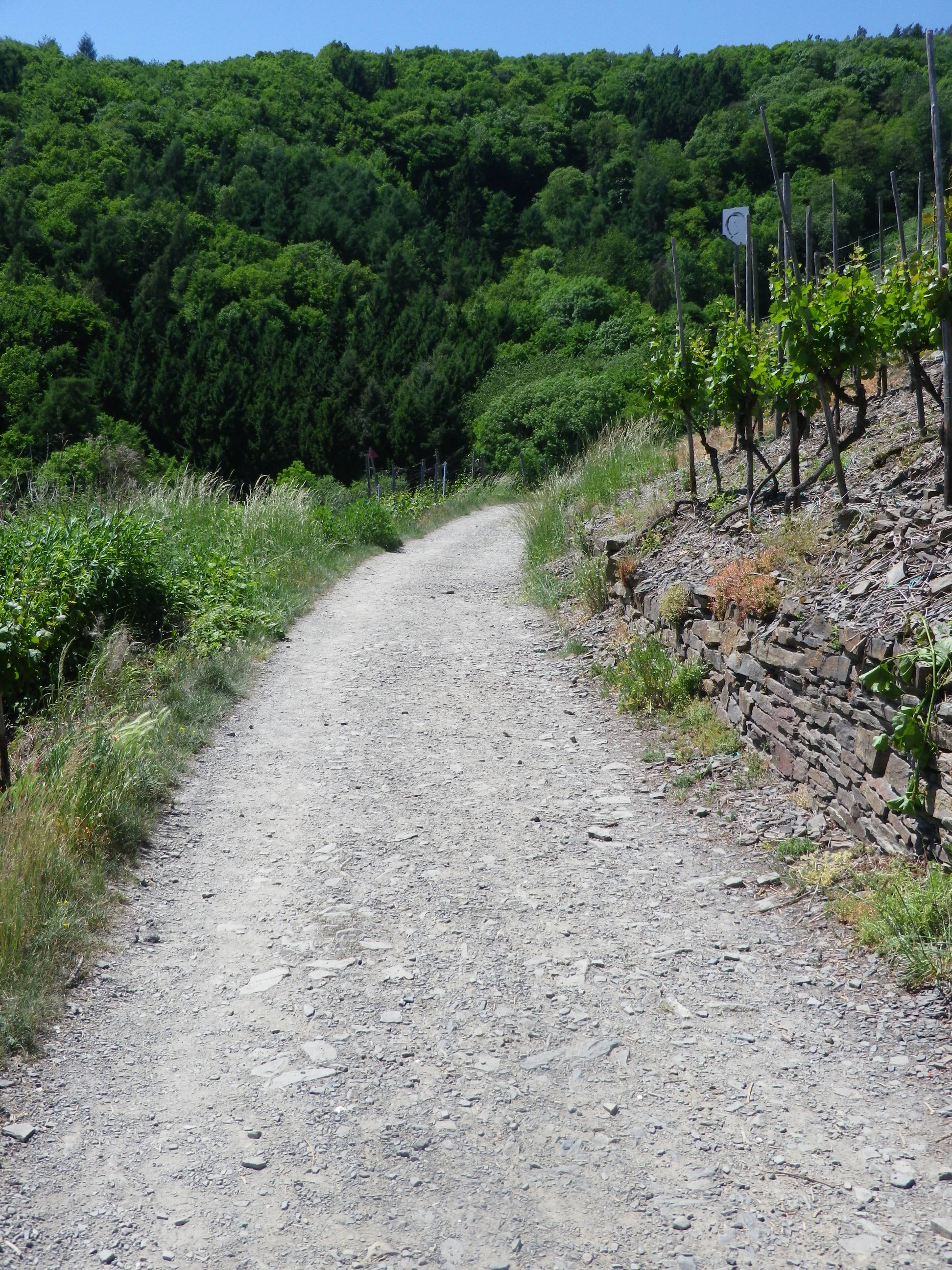
Section of Woodland Trail


Trail: Sample Section Through Vineyards


Restrooms: None observed!

Attractions on or near Trail:

Ahrweiler: AhrWeinForum, a museum with permanent displays focusing on the life of vintners in the vineyards and in the cellars.

Tasting along the Trail:

Many taverns, wine bars and wineries (See itinerary above for ones directly on the path). Many more may be found off the trail in town/village centers.

Alternative Options:

Biking: The 75-kilometer-long Ahrradweg (Ahr Bicycle Trail) begins further upriver, and from Altenahr covers the same wine villages, albeit from the valley floor, mostly on dedicated bike paths, following along the river.

Additional Information:

Regional: https://www.ahrtal.de/en/

Trail  specific: https://www.outdooractive.com/de/wanderung/ahrtal/rotweinwanderweg-ahrtal/1362674/#dm=1

Comments:

I was enthralled by the gorgeous and dramatic scenery. As a wine drinker, I came to appreciate every curve and new hillside, which sheltered yet another natural bowl for the vines to thrive in. A one-day hike of slightly less than half this trail, (followed by a good soak in the mineral waters), was simply not enough time to spend here.

Bad Neuenahr-Ahrweiler is a health resort area, and it has a number of attractions which might appeal to visitors: open air jazz or classical concerts, wine tastings and spa treatments.

If staying in the valley at a local hotel, the hotel-provided guest card will serve as a train ticket during your stay! The train is the ideal way to cover the stages of this hike.
A Saarweinwanderweg Hike


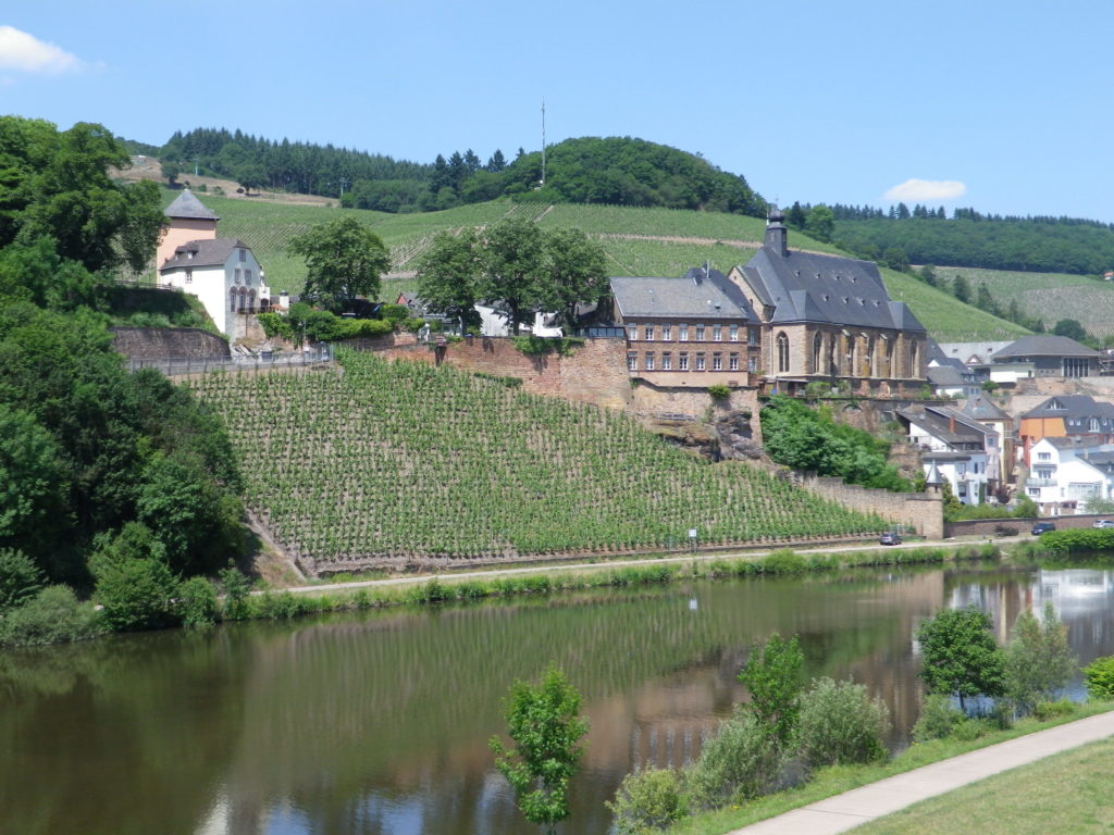
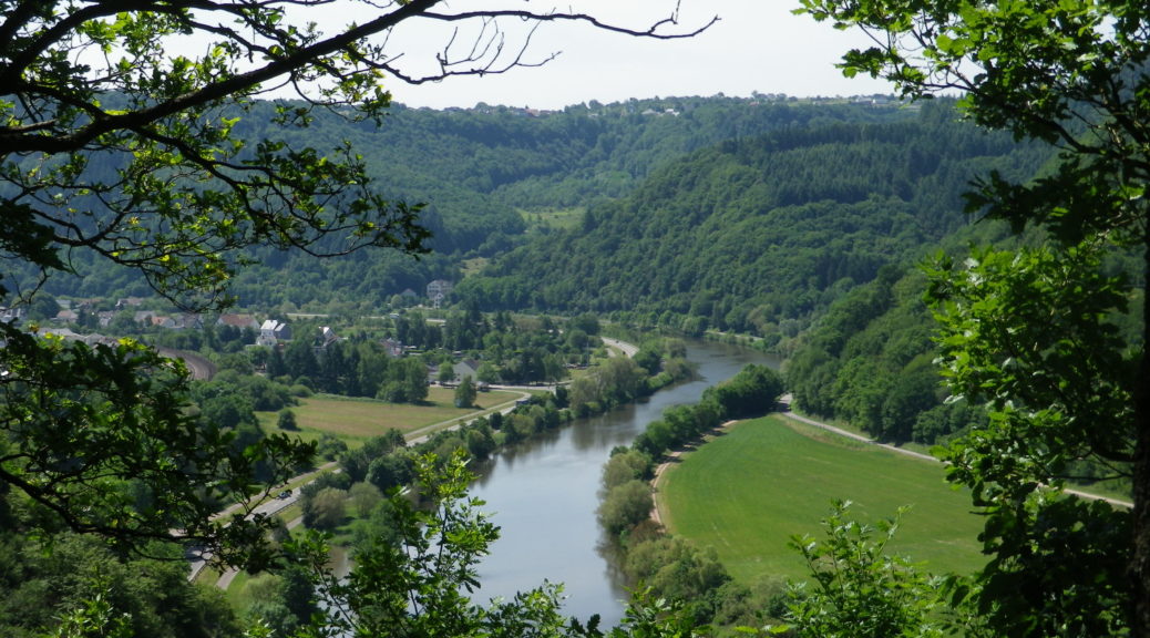
There are discrete places that our memory captures in perpetuity for reasons unknown to us. Saarburg was one such place. A combination of road closures, road work detours and searching for a shortcut, took me there one afternoon. One glance at the compact historic center, rising dramatically above the serpentine Saar River, impressed itself so firmly in my mind that when I found a wine-themed hiking trail there, I knew that I would have to return to hike the trail.

Saarburg and its Vineyards

Continue reading A Saarweinwanderweg Hike

Saarweinwanderweg: Trail in a Nutshell


Trail Name: Saarweinwanderweg

Trail Type: Long distance circuit; almost exclusively paved or hard-packed surface, well maintained, and fairly well marked.

Length:

Total: 77.4 kilometers/ 48 miles

My stage: 16 kilometers/10 miles

Convenient to:

Trier, Germany

Marking:

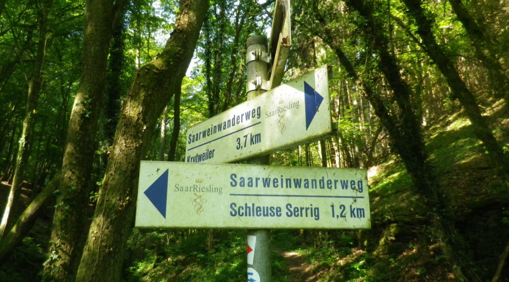
White rectangular signs with blue lettering  (See featured photo above.)

Continue reading Saarweinwanderweg: Trail in a Nutshell

A Spring Warm-Up in the Pfalz


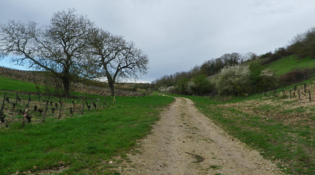
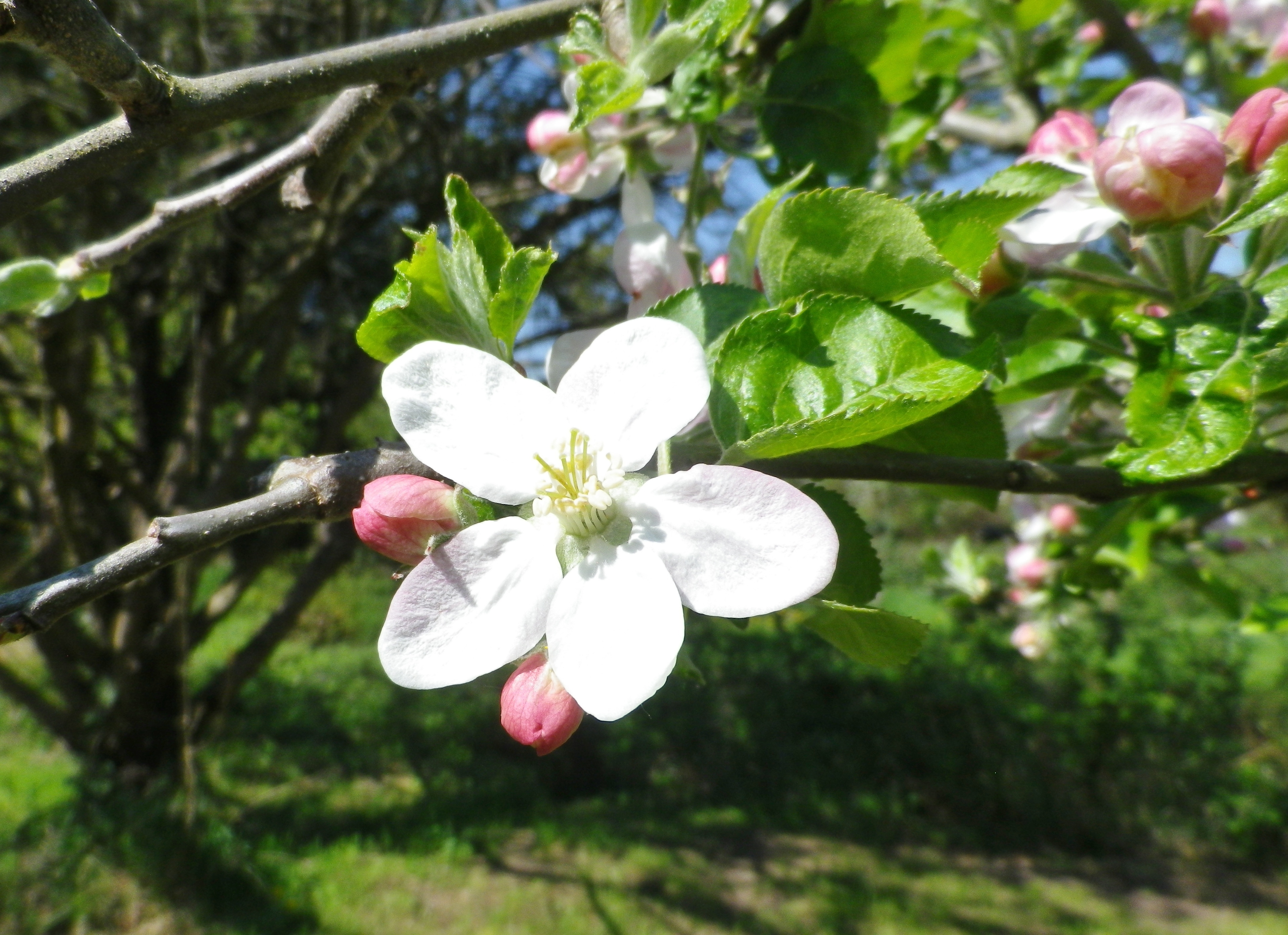
Spring blooms relatively early in the southern Pfalz. First, and perhaps the most spectacular of all, are the almond blossoms. Beginning in early March and continuing until mid-April, the profuse, brilliantly pink flowers seen against a cerulean blue sky, are a gorgeous sight. This magnificent spectacle prompted a long-distance hiking trail entitled the Pfaelzer Mandelpfad, or the Pfalz Almond Trail. While I unfortunately arrived just as the pink almond blossoms had faded, I could see the next tree blossoms on deck: the delicately colored white apple tree blossoms.

Apple Tree Blossom

Continue reading A Spring Warm-Up in the Pfalz

Wine Notes: Pfalz’s Suedliche Weinstrasse


What I Learned

The Pfalz has more hectares (about 23, 600) under vine than any other wine region in Germany, except Rheinhessen. It is divided into two districts: the Mittelhaardt, and the Suedliche Weinstrasse. White wine varietals, of which there are over 70 different types, predominate, especially Riesling, but red wine varietals are increasing, now with over 50 types, in proportion to the white varietals.

In the Suedliche Weinstrasse district, the Deutsche Weintor Winery (Winzergenossenschaft) primarily serves the Suedliche Weinstrasse district. Founded in 1956, the winery takes its name from Deutsche Weintor, the iconic wine gate in Schweigenhof-Rechtenbach on the French border, which marked the end of German’s first car tourism Route: The German Wine Road (Deutsche Weinstrasse). A popular tourist site, many people are familiar with the Deutsches Weintor vinothek there. However, its cellar, begun in 1957, is a bit further north, in Ilbesheim bei Landau. It likewise has a vinothek. Nowadays, with over 600 wine growers, and over 850 hectares, the Deutsche Weintor Winery dominates the wine production of this area.

Continue reading Wine Notes: Pfalz’s Suedliche Weinstrasse

Fassboden 3: Trail in a Nutshell


Trail Name:  Fassboden 3

Trail Type: Short distance cycling circuit; well-maintained and on mostly paved surfaces, (with little vehicular traffic along the way). Marking on the trail was good in some areas, albeit with only generic cycling traffic marking, and non-existent in others. (Best to have the free map or the GPX coordinates found at the link below.)

Length:

Total – 23.5 kilometers/14.5 miles

Convenient to: Landau, or Karlsruhe, or Bad Bergzabern, Germany

Marking:

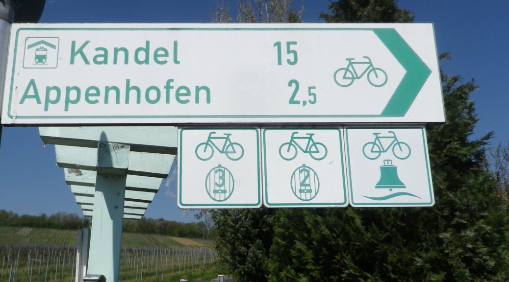
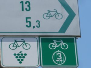
Square signs with a wine barrel and the number 3 inscribed on it. (Colors are green and white; sometimes it is a green background with white design, or otherwise vice versus.)

Trail Signs – with a Fassboden 3 Sign

Continue reading Fassboden 3: Trail in a Nutshell

Musikantenbuckel Wanderweg: Trail in a Nutshell


Trail Name: Musikantenbuckel Wanderweg

Trail Type: Short distance circuit; well-maintained and almost exclusively paved with tarmac or concrete, marking on the trail good throughout

Length:

Total – 7.5 kilometers/ miles

Convenient to: Bad Durkheim, Germany

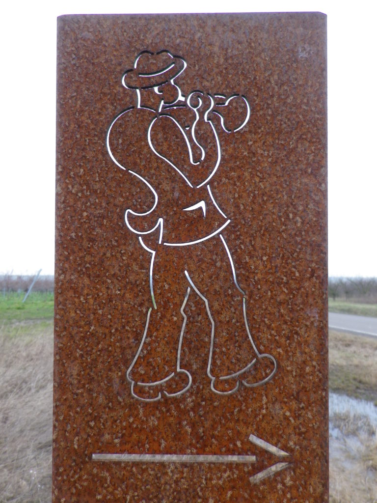
Marking: Musician playing a horn.

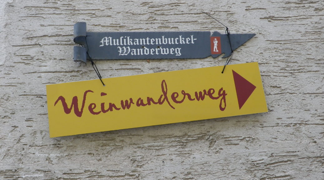
Musikantenbuckel Signage


Trail Description:

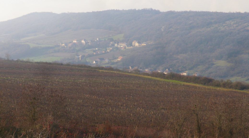
A family-friendly, short circuit passes up and along a gentle slope, through the village and vineyards, (meaning it is almost completely unshaded), with views over the village and valley, and out to hills. This trail is paved for almost all of it, and where not, there are paved alternatives.

Trailhead:

Freinsheim – Hauptstrasse, at the old Rathaus

Parking:

Freinsheim – Parkplatz P3, Weisenheimerstr

Freinsheim –  festival parking area along L522/Talweide. Note: only during the festival weekend!

Public Transportation Options:

Rail: Deutsche Bahn regional trains provide frequent regional train service to Freinsheim, from Gruenstadt to the north, and points south, including Neustadt an der Weinstrasse and Bad Duerkheim.

Bus: Buses connect Freinsheim with Bad Durkheim, and other towns in the area. Check VRN.de for schedules to and from Freinsheim.

Suggested Stages: Not applicable

Trail Itinerary-Reference Points: (Clockwise)

Freinsheim: by the old Rathaus, Korngasse-Wallstrasse-2 Querstr-Wenjenstr, Schubertstr-Franz-Liszt-Str, path straight across, the left along L522, past Sportplatz (soccer field), Orchards and vineyards, and the Weinbergsgarten (rest area with benches and picnic table), cross L455, parallel L455, then cross it again, vineyards, cross path across L522/Talweide

Representative Trail Photo:

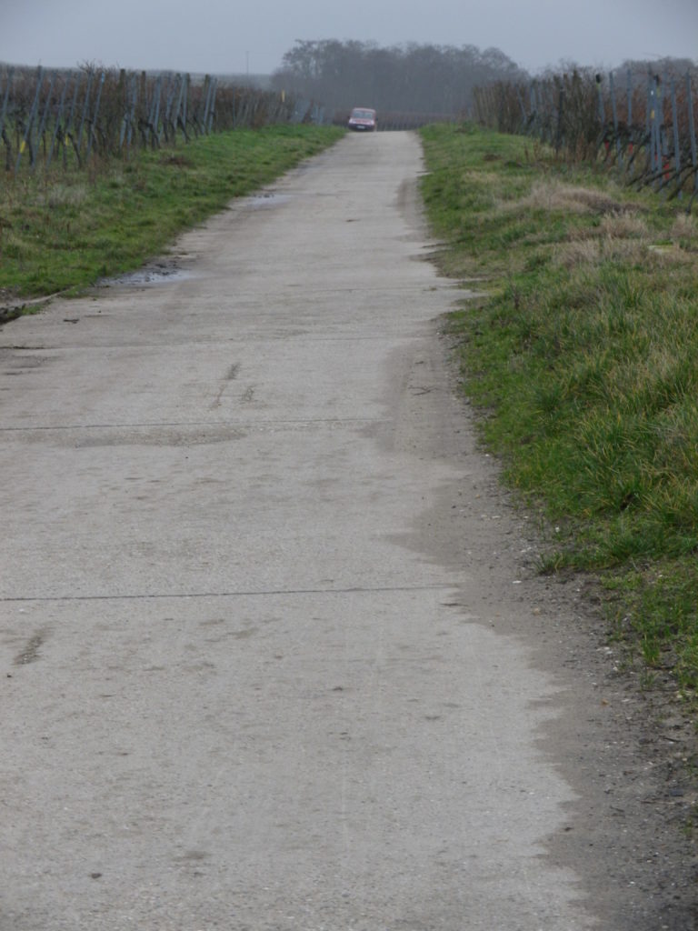
Trail Surface: 98% of the Way


Restrooms:

Freinsheim, off Baerengasse

Musikantenbuckel, porta-potties on the trail. Note: only during the festival weekend.

Attractions on or near Trail:

While Freinsheim has no wine-themed museums or exhibits, there are several architectural features of historical interest in the old part of the village.

Tasting along the Trail:

The village of Freinsheim has many wineries (Weingut); and on the day of the Rotweinwanderung, there are half a dozen or so vintners with huts along the trail

Alternative Options:

Hiking: While the Deutsche Weinstrasse Wanderweg, the 96 kilometer-long (almost 60 miles) hiking trail from Bockenheim to the border town of Schweigen-Rechtenbach, passes near Freinsheim, it does not pass through it. Instead, Freinsheim offers a series of short, mostly family-friendly circuits, such as the Wanderweg “Schwarzes Kreuz”, through a named vineyard area.

Biking: Radweg Deutsche Weinstrasse, the 95 kilometer-long (almost 60 miles) cycling trail from Bockenheim to the border town of Schweigen-Rechtenbach), passes through Freinsheim.

Car: Deutsche Weinstrasse, the thematic car route from Bockenheim to the border town of Schweigen-Rechtenbach, passes near Freinsheim.

Additional Information:

Regional: http://www.freinsheim.de/tourismus_wein_und_kultur/uebernachten.html

Trail specific: https://www.outdooractive.com/de/wanderung/pfalz/freinsheim–musikantenbuckelrundweg-durch-die-weinreben/3321889/#dm=1

Comments:

End of January each year, the Musikantenbuckel area is the venue for the Rotweinwanderung, a walking wine and culinary festival. During this weekend, the Rotweinwanderung Weinwanderweg generally follows the same itinerary as the Musikantenbuckel Wanderweg, but is a bit shorter.

Musikantenbuckel refers to a named vineyard parcel. Freinsheim also has two others: Schwarzes Kreuz and Oschelskopf, with a hiking trail through them, the Schwarzes Kreuz trail. Combining this trail with the Musikantenbuckel would cover all of Freinsheim’s named vineyards, and provide a longer (about 14 kilometer) easy hike.
Arriving by train will add about 900 meters. From there follow: Bahnhofstr-Hauptstr, to arrive at the Rathaus, the official start.


Empires Past and Present

Charlemagne brought wine to Ingelheim, and I followed a trail to Ingelheim, wine, and Charlemagne. Thus, in one fell swoop, I managed to satisfy my wine, hiking, and early medieval history passions in this small town on a partly sunny afternoon.

The Carolingian and earlier Merovingian times in Western Europe have always interested me. So when I heard about the wonderful exposition of the remains of one of Charlemagne’s favorite palaces, I had to visit. In addition to a highly focused and informative museum on the palace, the great signboards at exposed walls throughout the town, and outlines in stone of once-extant huge palace structures, help bring the old palace alive, as it was in Charlemagne’s time.

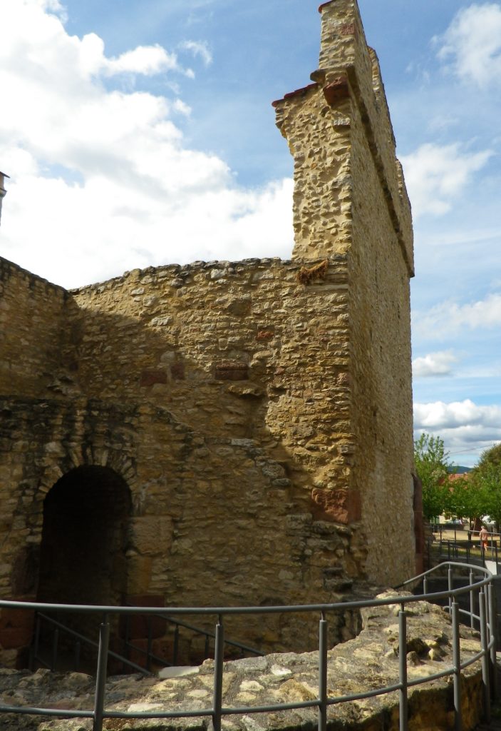
Ingelheim: Old Palace Ruins

Continue reading Empires Past and Present