Tag Archives: Nutshell,

Rheingauer Riesling Route: Trail in a Nutshell


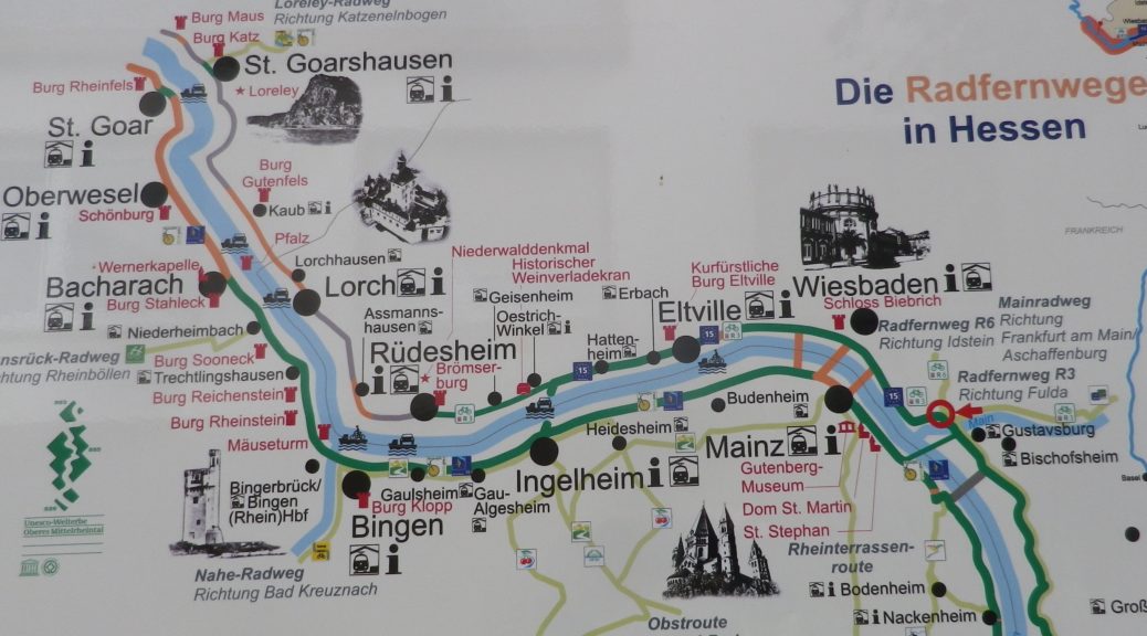
Trail Name: Rheingauer Riesling Route

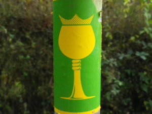
Trail Type: Long distance trail; almost exclusively paved, well maintained; the route itself is marked in part with the wine glass marking (see below), and other parts are marked with an R3.

Length:

Total: 62 kilometers/38.5 miles (Kaub to Floersheim)

Segment: 49 kilometers/30.5 miles (Ruedesheim to Floersheim)

Convenient to: Wiesbaden, or Mainz, Germany

Marking:

White wine glass with a crown on a green background; Alternatively: R3 and R3a (variant to Kloster Eberbach). Where the icon marking is not easily found, follow the R3 or R3a signs.
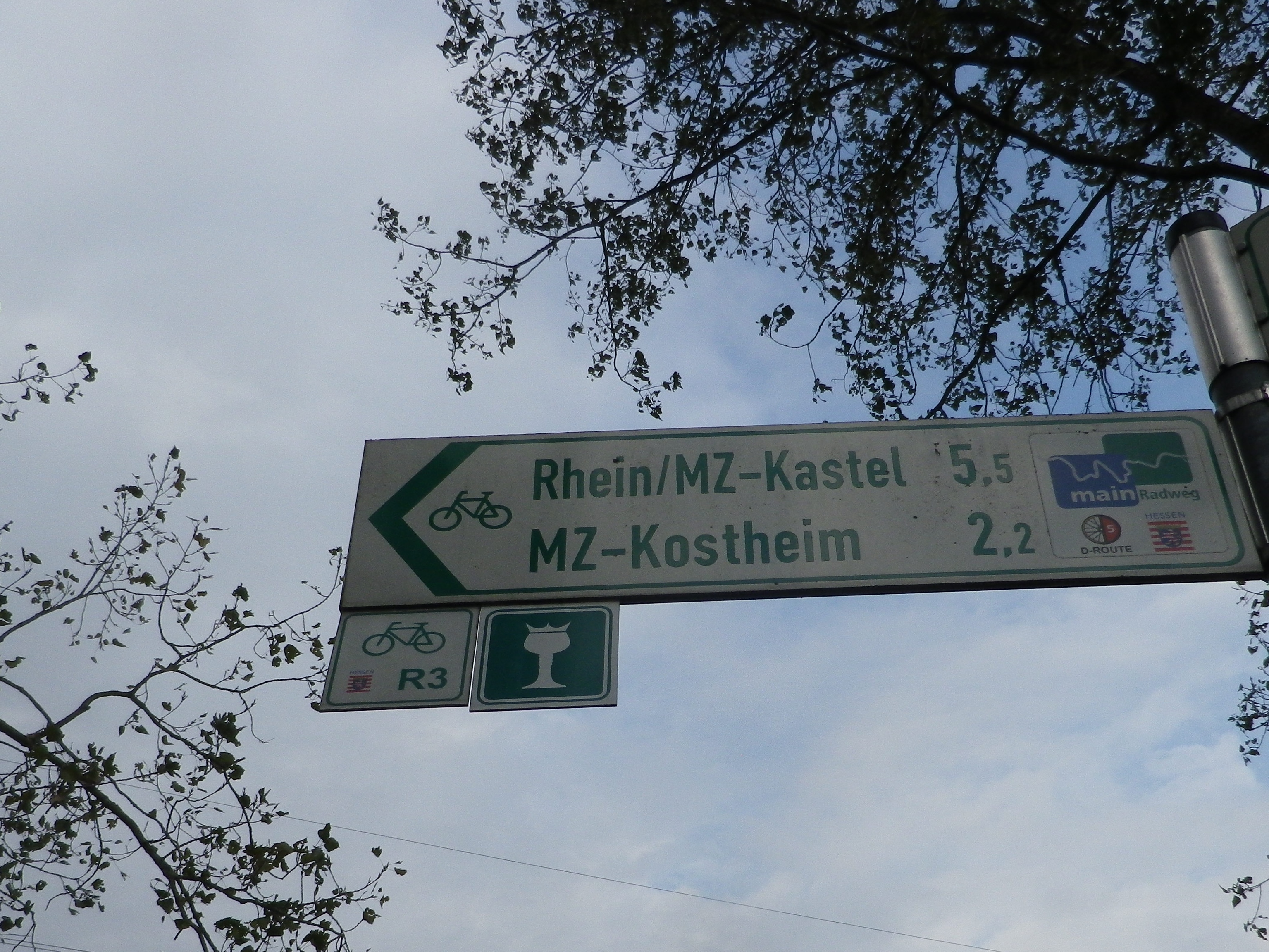
Signage for Various Cycling Trails

Continue reading Rheingauer Riesling Route: Trail in a Nutshell
Rheingauer Riesling Pfad: Trail in a Nutshell


Trail Name:  Rheingauer Riesling Pfad

Trail Type: A long-distance hiking trail; well-maintained and with a variety of trail surfaces; marking on the trail very good.

Length:

Total – 91 kilometers/55.5 miles

Segment: about 30 kilometers/about 19 miles

Convenient to: Mainz, Wiesbaden, Germany

Marking: Yellow (or white) wine glass with a crown, on a (usually) green background

Rheingauer Riesling Pfad

Continue reading Rheingauer Riesling Pfad: Trail in a Nutshell

Bodensee Radweg: Trail in a Nutshell


Trail Name:  Bodensee Radweg (Lake Constance Bike Trail) – Untersee segment

Trail Type: long-distance, multinational cycling circuit; very well-maintained and almost exclusively paved, with excellent marking along the trail

Length:

Total – Full Bodensee Radweg is 270 kilometers/167.75 miles

Segment: Untersee circuit only is 72 kilometers/44.75 miles

Convenient to: Konstanz, Germany/Kreuzlingen, Switzerland

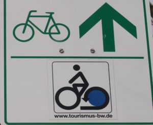
Marking: Stylized black stick figure on bike with blue rear wheel, on a white background Trail Description:

Bodensee Radweg Signage

Continue reading Bodensee Radweg: Trail in a Nutshell

CAI 748: Trail in a Nutshell


Trail Name: CAI 748 (AKA: Vigneti dei Colli Orientali)

Trail Type:

Mid-distance trail; surfaces from asphalt to rock to dirt, well-maintained in places, but not throughout; the route is fairly well marked.

Length: Total: 11 kilometers/ 6.8 miles

Convenient to: Cividale del Friuli, Italy

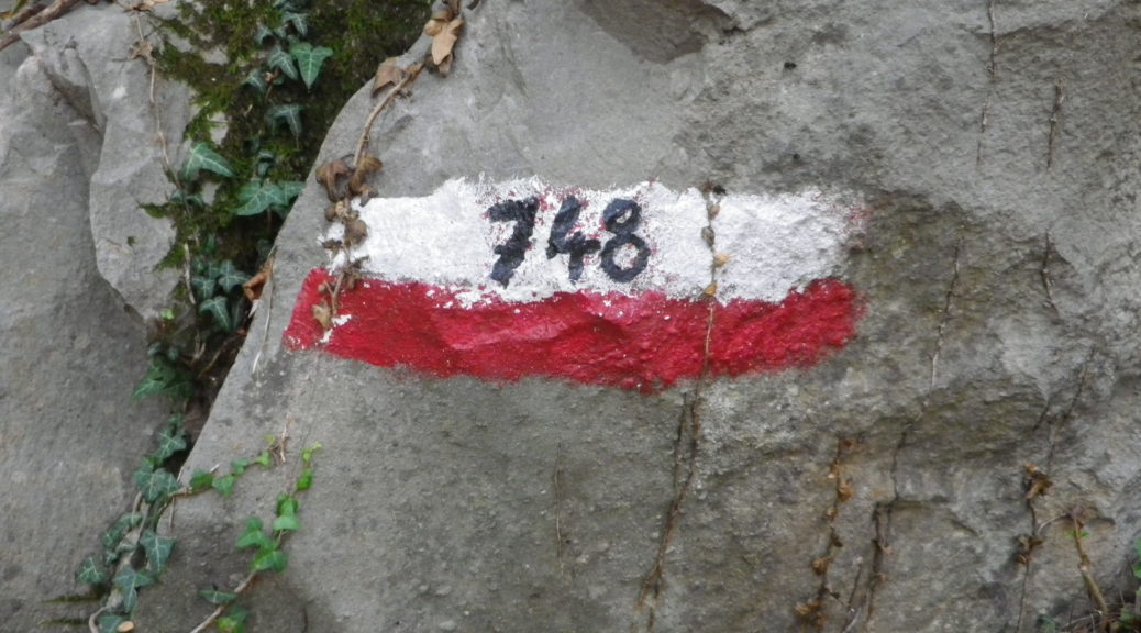
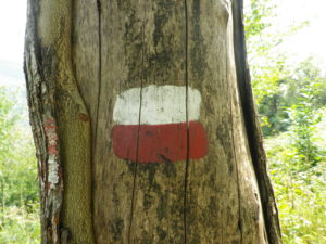
Marking: Red and white rectangles, with 748 in black superimposed

See featured photo above, and…

Alternate Trail Signage


Continue reading CAI 748: Trail in a Nutshell

Fraenkischer Rotwein Wanderweg II: Nutshell


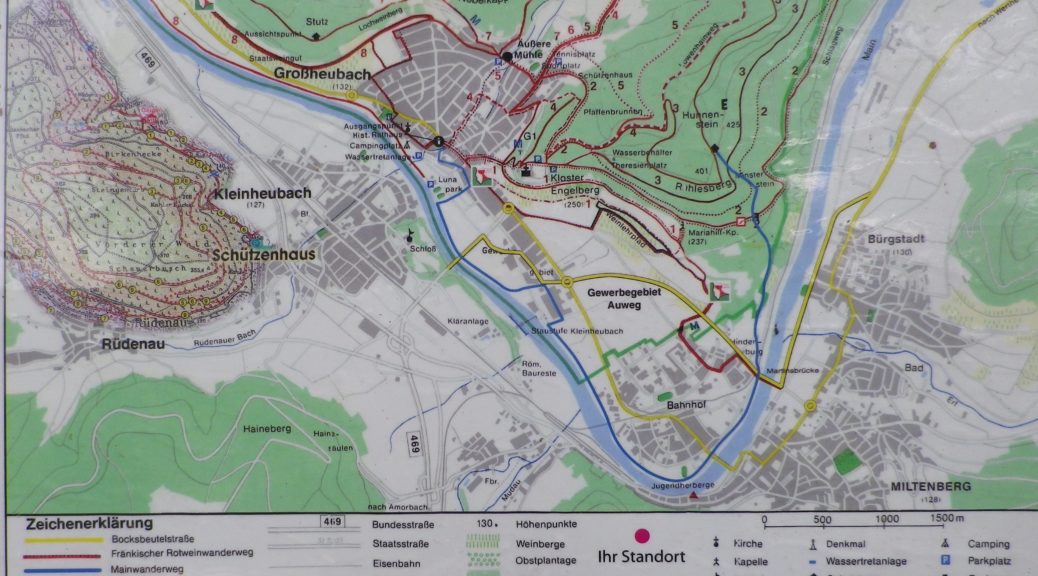
Trail Name:  Fraenkischer Rotwein Wanderweg (Franconian Red Wine Hiking Trail) (FRW)

Trail Type: Long-distance trail; well-maintained with a wide variety of surfaces, as well as stairs; marking on the trail rather good throughout.

Length:

Total – 79 kilometers (km)/49 miles

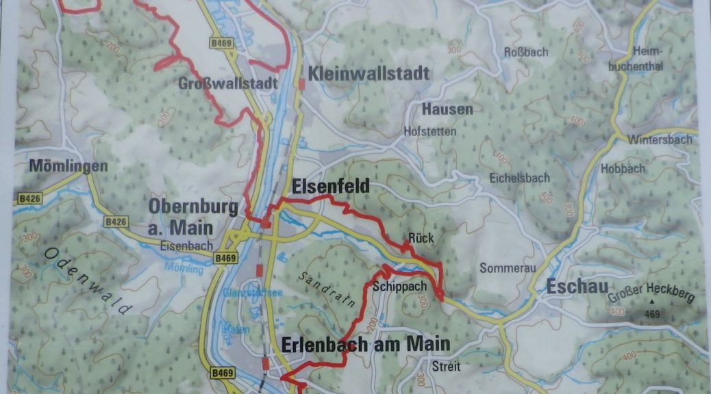
This segment (Last three stages): 29.5 kilometers/18.3 miles

Convenient to:

Aschaffenburg, Germany

Marking:

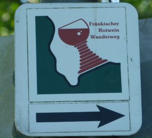
A Franconian wine glass (fat-stemmed), mostly red in color, often with the words Fraenkischer Rotwein Wanderweg, set on a green and white background on a square.

Fraenkischer Rotwein Wanderweg Signage

Continue reading Fraenkischer Rotwein Wanderweg II: Nutshell

Fraenkischer Rotwein Wanderweg I: Nutshell


Trail Name:  Fraenkischer Rotwein Wanderweg I (Franconian Red Wine Hiking Trail) (FRW)

Trail Type: Long-distance trail; well-maintained, with mixed surfaces and stairs, good marking on most of the trail, although missing in a few places.

Length:

Total – 79 kilometers/49 miles

Segment (first three stages): 48.3 kilometers/30 miles

Convenient to:

Aschaffenburg, Germany

Marking:

A Franconian wine glass (fat-stemmed), mostly red in color, often with the words Fraenkischer Rotwein Wanderweg, set on a green and white background on a square.

Fraenkischer Rotwein Wanderweg Signage

Continue reading Fraenkischer Rotwein Wanderweg I: Nutshell

Circuit du Vignoble: Trail in a Nutshell


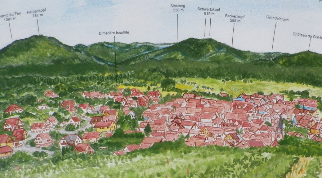
Trail Name: Rosheim – Rosenwiller (AKA: Circuit du Vignoble/Vineyard Tour)

Trail Type: Short-distance; well-maintained and with mostly wide paths, either paved or hard-packed earth, with very good marking on the trail

Length:

Total – 8.7 kilometers/5.5 miles

Convenient to:

Strasbourg, France

Marking:

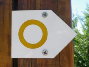
Yellow circle on a white background

Yellow Circle Trail Sign

Continue reading Circuit du Vignoble: Trail in a Nutshell

Geniesser Tour: Trail in a Nutshell


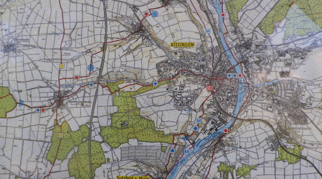
Trail Name: Geniesser Tour

Trail Type: Long distance cycling circuit; well-maintained and almost exclusively paved, mostly good marking throughout the circuit

Length:

Total – 49 kilometers/ 30.5 miles

Convenient to: Kitzingen, and Wuerzburg, Germany

Marking:

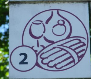
An official Kitzinger Land tour, the signage for this tour numbered two includes outlines of a wine glass, wine bottle and plate of asparagus spears in burgundy on a white background.

Geniesser Tour Signage

Continue reading Geniesser Tour: Trail in a Nutshell

Zachgraben und Weingaerten: Trail in a Nutshell


Trail Name:  Zachgraben und Weingaerten (Zach Creek and Vineyards)

Trail Type: A mid-distance circuit trail; some sections maintained, others rougher, with varying surfaces, from paved to mud. This circuit is not marked (See comment)

Length:

Total – 10.1 kilometers/6 miles

Convenient to: Graz, Austria

Marking:

None (See comment!)

Continue reading Zachgraben und Weingaerten: Trail in a Nutshell

Wuerttemberger Weinradweg: Trail in a Nutshell


Trail Name: Wuerttemberger Weinradweg

Trail Type: Long distance; well-maintained and almost exclusively paved, marking on the trail very good

Length:

Total – 354 kilometers/219 miles

My segment – 32 kilometers/ 20 miles

Convenient to: Stuttgart, Tuebingen, Rottenburg am Neckar, Germany

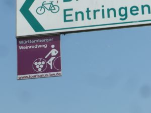
Marking: Square metal shield with a white-outlined stylized rider on a bicycle superimposed on a burgundy background

Wuerttemberger Weinradweg Sign

Continue reading Wuerttemberger Weinradweg: Trail in a Nutshell