Tag Archives: Nutshell,

Reben Tour: Trail in a Nutshell


Trail Name:  Reben Tour

Trail Type: Mid-distance circuit bicycling itinerary; well-maintained with hard (paved or packed earth) surfaces; no marking for this itinerary.

Length:

Total – 40.7 kilometers/25 miles

Convenient to: Basel or  Rheinfelden, Switzerland

Marking: None specific to the itinerary

Trail Description: While starting in a small city, this trail leads uphill to the hinterlands above the Rhine, through a variety of agricultural landscapes (orchards, fields, vineyards), as well as through forests and riverlands. No doubt the hills will be challenging to many, given the numbers of them, (even though the gradients never got above the 8-10 percent range), due to the length of some of them.

Trailhead:

Official: Rheinfelden: Olsbergerstr/Rueschelenhaldenweg x Bergweg

Mine: Train station to Alleeweg to the official start

Parking:

Rheinfelden center: None free, but parking garages and lots, one of each on Schutzenweg, closest to the trail;

Rheinfelden outskirts (Riburgerstr): Park and Pool (at the traffic circle) (24-hour restriction), Sportanlagen Schiffacker

Arisdorf: Parking Kaenelmatt on Kaenelmattstr

Public Transportation Options:

Information for both rail (Basel to Rheinfelden or Liestal), and bus services from these towns to the villages listed below, may be found at the Tarifverbund Nordwestschweiz (TNW) website at tnw.ch/fahrplan-liniennetz/online-fahrplan (as of October 2020)

Suggested Stages: Not applicable

Trail Itinerary-Reference Points: (Counterclockwise)

Rheinfelden: Forest trail, Rheinfelderweg, Rheinfelderstr; Olsberg: downhill through fields and vineyards, Hofgutweid, through Chloster grounds (formerly Olsberg Cloister), Hagachermatt, Hauptstr; Arisdorf: Arisdorferstr, Olsbergerstr, Hauptstr, Winkel, Kaenelmattstr, underpass beneath highway, fields, Arisdorferstr; Fuellinsdorf: Obererhofackerstr, down a flight of stairs at Obererhofackerstr x Huempelweg, Liestalerstr; Uetental: Uetentalweg, Suttenbergweg, Oberer Burghaldenweg, Erzenbergstr; Liestal: Gaststr, Rheinstr, path to Kasernenstr, Militaerstr, Kasinostr, over highway, Heidenlochstr; Lausen: Gartenstr, Weiherhofstr, Ringstr, Apfelhurststr-Edletenweg, up the mountain to Waldhuette Edleten, through woods for a while; Hersberg: Hersbergerstr, Hauptstr; Nusshof: Hauptstr, left onto Sissacherstr, Breitenhof path to Wintersingen; Wintersingen: Im Graben, Hauptstr, Buelweg, Dorfmattstr, fields, Rickenbacherstr briefly, then fields along the ridge overlooking town; Buus: Wiebentalweg, Hauptstr, Laigweg, path paralleling Hauptstr; Maisprach: Buuserstr, Magdenerstr, Hauptstr; Magden: bike path to Salzackerweg paralleling Hauptstr, Buenn-Sonnenplatz, Hauptstr, Bruelstr, Waldweg, Mooshaldenweg

Representative Trail Photos:
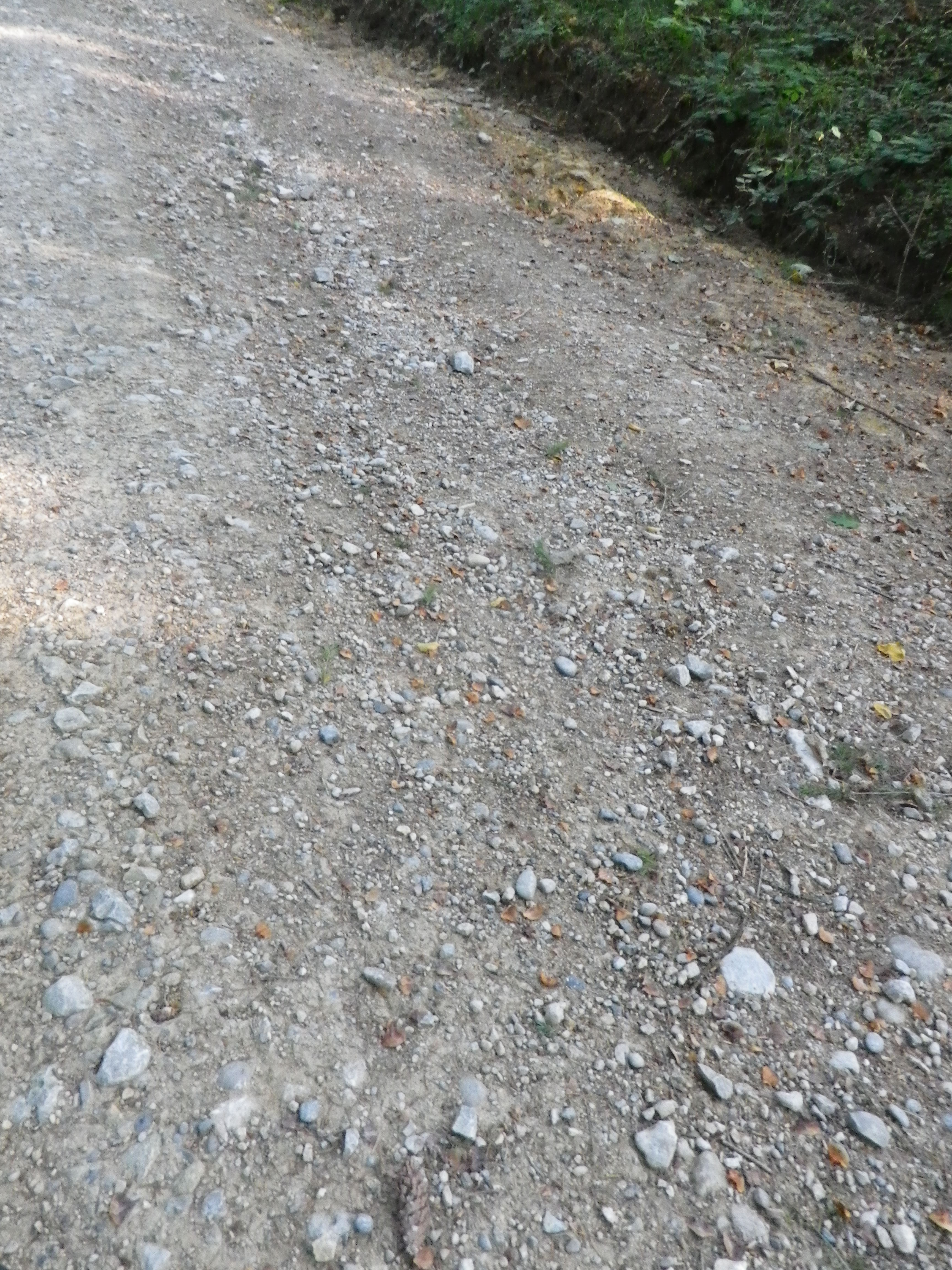
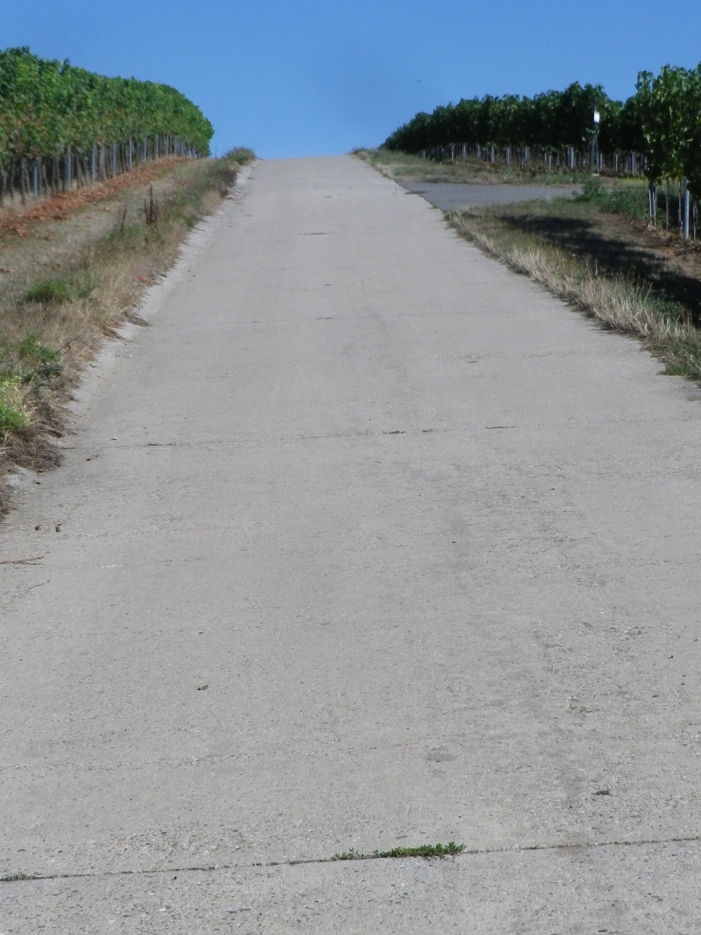
Representative Hard-Packed Surface


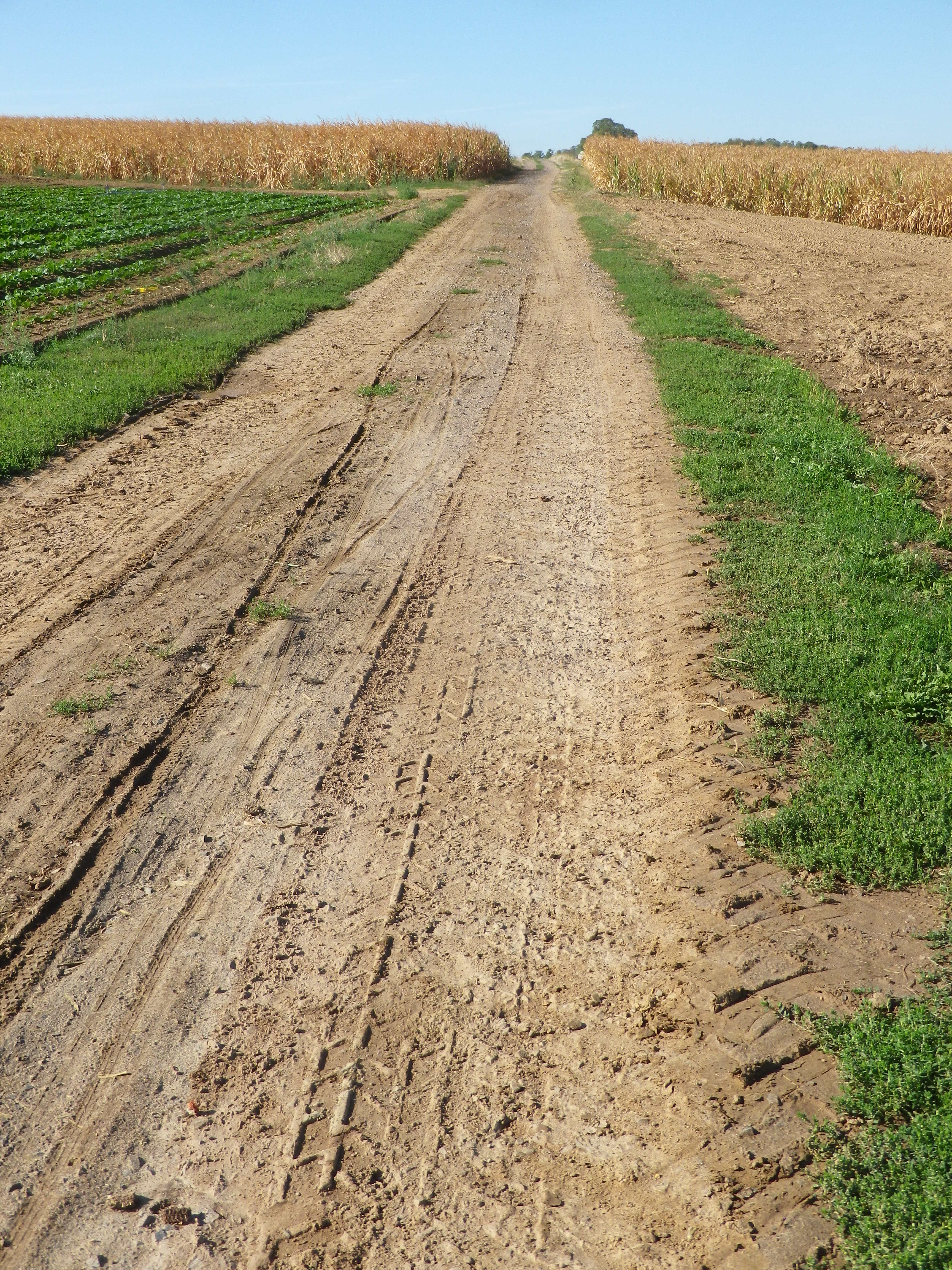
Representative Unpaved Trail Segment


Restrooms:

Rheinfelden: Froeschweid, a pay toilet by the parking garage (Only one seen, and not on the trail!)

Attractions on or near Trail:

Nothing wine-themed, other than the tranquil scenes of vineyards!

Tasting along the Trail:

Magden, Maisprach Buus and Wintersingen all have taverns serving local wine, although hours are limited. Olsberg also has a tavern, the Weinresidenz, in the village center. The larger towns, Rheinfelden and Liestal both have lots of cafes and restaurants that sell wine by the glass, although they might not be local. Liestal has the Siebe Dupf Kellerei, which is a cellar vinifying grapes from local farmers, and has a shop open Monday through Saturdays all day!

Alternative Options:

Hiking: The 13-kilometer long Syydebaendel & Rebenweg, trail (not a circuit!) from Maisprach to Wintersingen, through mostly vineyards and fields.

Additional Information:

Regional: https://www.baselland-tourismus.ch/

Trail specific: https://www.baselland-tourismus.ch/erleben/velofahren-mountainbiken/ausgesuchte-velotouren/reben-tour

Comments:

A delightful, even if somewhat challenging, itinerary through this little-known wine area of Switzerland, with its peaceful, rural landscape.
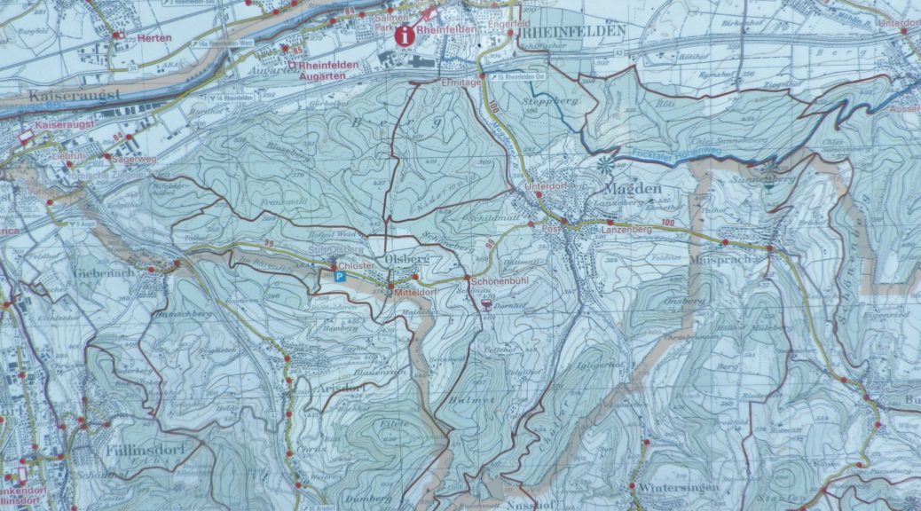
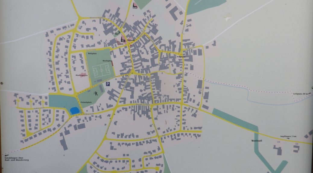
 

Winzer Radrundweg: Trail in a Nutshell


Trail Name: Winzer Radrundweg

Trail Type: Medium distance circuit cycling itinerary; well-maintained and mostly paved trail surfaces, albeit with a couple of grass paths, and a few hard-packed earth surface sections, marking on the trail for the specific itinerary is sporadic.

Length:

Total – 44 kilometers/27.3 miles

Convenient to: Landau in der Pfalz, Germany

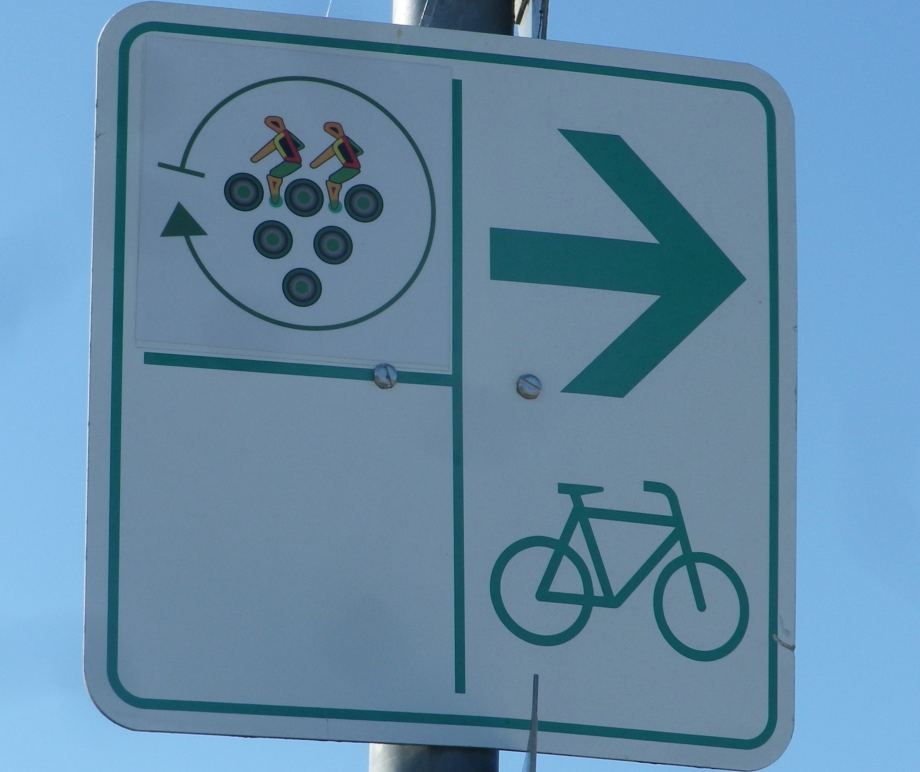
Marking: A white sign with stylized circles forming a grape cluster with two stylized riders on top

Signage: Winzer Radrundweg


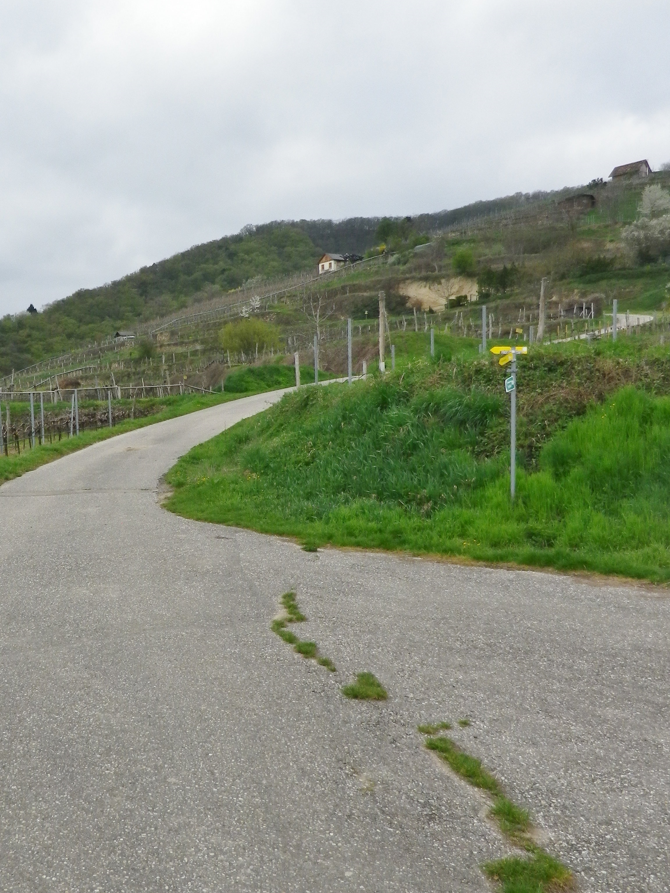
Trail Description: A delightful medium-length circuit primarily through vineyards, circling around the smaller, and lesser known (hence quieter and not as tourist-filled) wine villages of the southern part of Deutsche Weinstrasse.
Trailhead:

Official: Siebeldingen: Bismarckstr

Mine: Laundau: L509 Queichheim Hauptstr, at the Landau Zentrum exit off A65

Parking:

Insheim: Bahnhofstr;

Moerlheim (at exit Landau-Zentrum): P+R (just east of exit)

Landau: parking in and around the Freizeitbad (a water park) and the nearby Stettiner Str

Public Transportation Options:

Rail: Deutsche Bahn has frequent rail service connecting Landau with the main Rhine Valley cities via Karlsruhe.

Bus: VRN (Verkehrsverbund Rhein-Neckar) has bus lines connecting Landau and/or Bad Bergzabern (both with frequent train service) to the smaller towns and villages on this itinerary.

Suggested Stages: Not applicable

Trail Itinerary-Reference Points: (Counterclockwise)

Landau: Horststr, Horstring, Am Kugelfang; Dammheim: Am Bahnhofstr, Alte Bahnhofstr, Dorfstr, Schmiedstr; through fields, along A65; Knoeringen: Bahnhofstr, Hauptstr, Kirchstr; Walsheim: Hauptstr; through fields; Nussdorf: Kirchstr, Lindenbergstr, Am Heimlichen Eck, Kaiserberg, along Weinerlebnis Pfad; Godramstein: Unterer Steinweg, Bornergasse (P), Frankweilerstr, Kapellenweg, L511; Siebeldingen: Jahnstr, along Queich creek, outskirts; Arzheim: Hauptstr-Kalmitstr, Kapellenstr, Erzabt-Josef-Koch-Str, Ilbesheim bei Landau: Arzheimerstr, Hauptstr, Moerzheimer Str; Wollmesheim: Wollmesheimer Hauptstr, L510/Moerzheimerstr; Moerzheim: cross K6 (or turn left) Goecklinger Weg, Zum Kirchweg, Herrenstr, Unterstr, Bruehlstr, Augartenweg, fields; Impflingen: Obergasse-Bruchgasse, In der Kuhweide, fields; Insheim: Sportplatzstr, Kettelerstr, Kandeler Str-Sandweg, past train station (P), Bodelschwingstr, Offenbacherstr; Along, then over A65; Moerlheim: Moerlheimer Str; Queichheim-Landau: Queichheimer Hauptstr (P); Landau: Hauptbahnhof (P)

Representative Trail Photos:

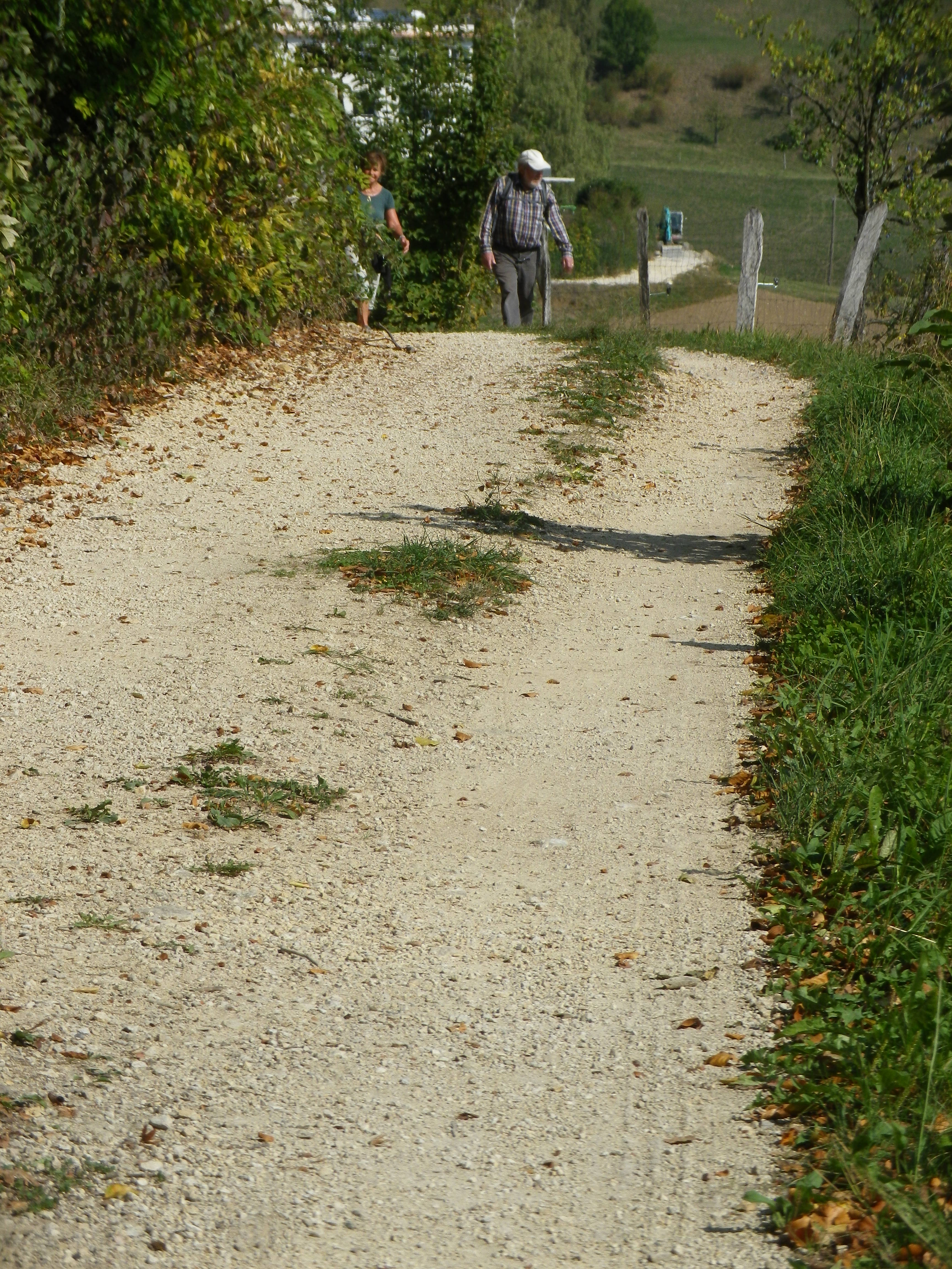
Sample of Surface Type


Most Degraded Surface of the Itinerary


Restrooms:

Nussdorf: On the Weinerlebnispfad, in the vineyards is a small restroom set in a nice rest area.

Landau: Off the trail (but closest and pay) toilets at Am Kronwerk x Fortstr (make sure you have coins)

Attractions on or near Trail:

Seasonal local wine festivals (see below), and wine education paths Nussdorf and Siebeldingen

Tasting along the Trail:

Many wineries along the trail, most notably in Siebeldingen, Nussdorf, Ilbesheim and Godramstein; whereas Landau has a couple of wine taverns/vinoteks. Additionally, Ilbesheim, Heuchelheim-Klingen, Siebeldingen have wine festivals in September

Alternative Options:

Hiking: In Heuchelheim-Klingen, the Weinrundwanderweg, a 13.6-kilometer-long easy circuit hike through the two villages surrounded by a sea of vines. Ilbesheim, by contrast has a number of wine-themed short (2-3 kilometer) circuits. Last but not least is Nussdorf’s Weinerlebnispfad, a unique combination of visual and audio art set in the vineyards along a two-kilometer trail through the vineyards overlooking the mountains and valleys of the Pfalz.

Car: Deutsche Weinstrasse, a thematic car route itinerary of about 100 kilometers, much of it on secondary roads, past vineyards and through charming wine villages, from Bockenheim to the border town of Schweigen-Rechtenbach.)

Additional Information:

Regional: https://landauland.suedlicheweinstrasse.de/

Trail specific: https://www.outdooractive.com/de/route/radtour/pfalz/winzer-radrundweg/3201806/ or

https://vis-a-vis-pamina.eu/en/activities/

Comments:

Not a lot of shade, so perhaps best in cooler weather.

A couple of short, but steep inclines. However, overall, this is an easy to medium difficulty trail.

I included the earthen trail surface photo above to show that even the most degraded surface on this itinerary is quite suitable for most bicycles, except perhaps directly after a very heavy or prolonged rain.


Les Coteaux St Michel: Trail in a Nutshell


Trail Name: Les Coteaux St Michel, AKA Saint Michel n. 1

Trail Type: Short distance; somewhat maintained and varied surfaces from paved to rough, with loose gravel on some of the steep slopes, marking on the trail good, but with one exception, not specific to the trail itself.

Length:

Total – about 7 kilometers/ 4.5 miles

Convenient to: Vienne and Lyon, France

Marking:

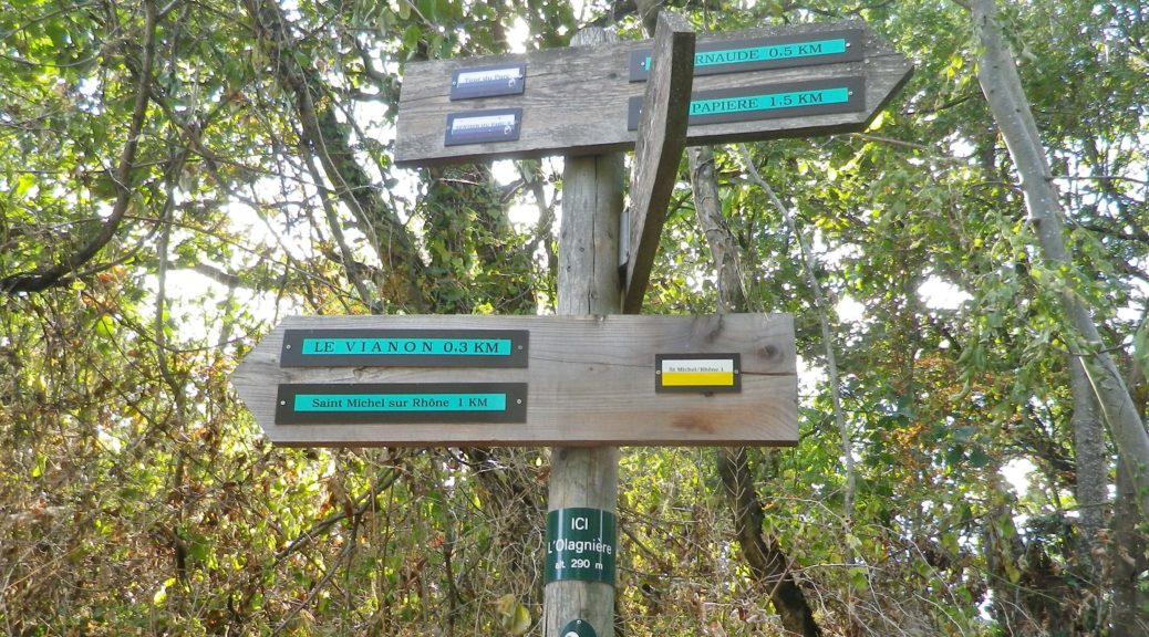
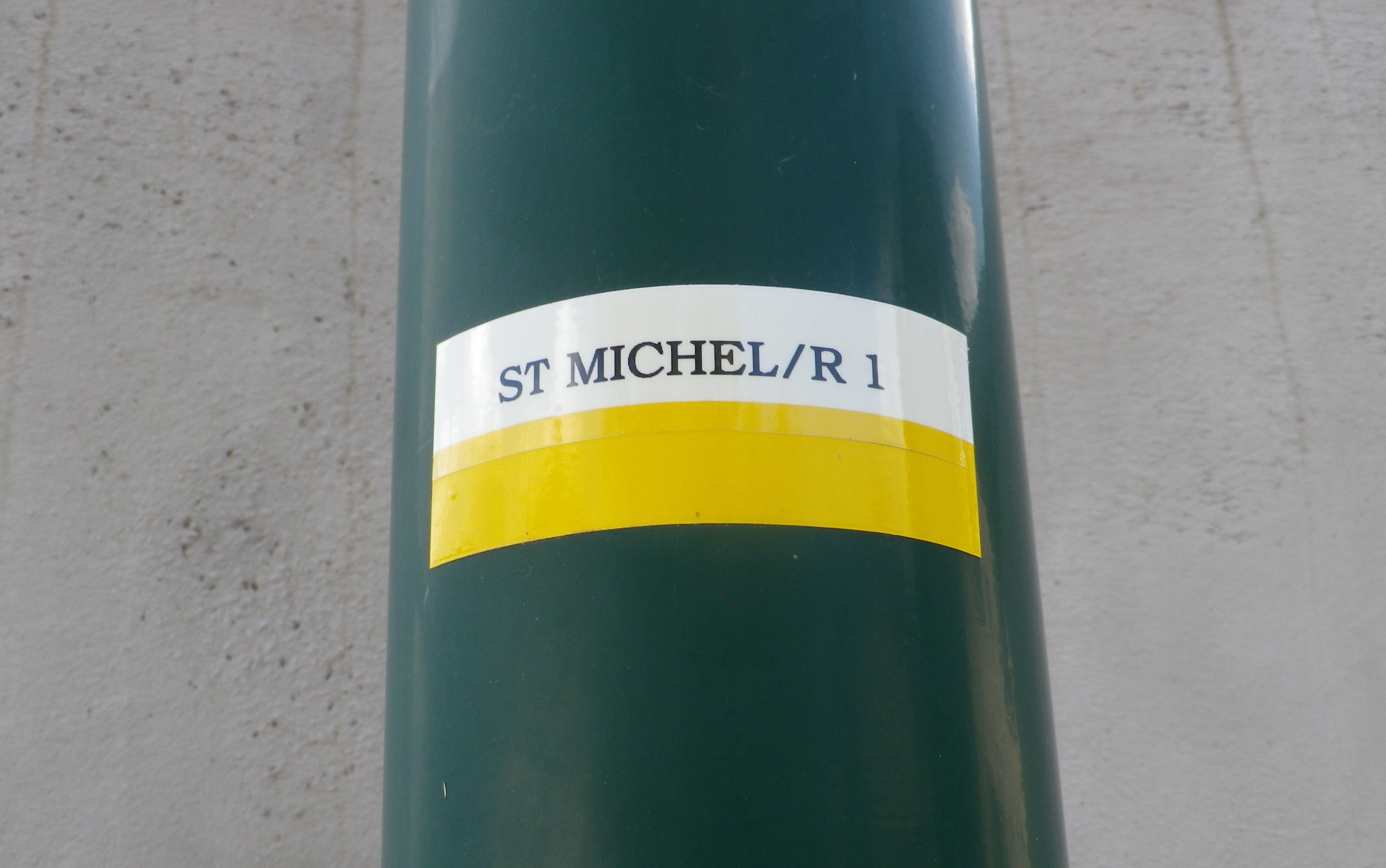
A white horizonal bar over a yellow horizonal bar, and occasionally a post noting current location and direction arrows with distances to further locations. (See photo above)


Trail Description:

A beautiful and sometimes challenging trail through a variety of landscapes from hamlets to fields and forests, but mostly dominated by scenes of the Condrieu vineyards and the Rhone River. With the dramatic views, and constantly changing trail, this trail will satisfy those looking to explore the quiet area of this small appellation.

Trailhead:

Official: St Michel sur Rhone: Mairie – R du Solon x Place des Muriers

Mine: Rue de la Voie Romaine, Verin

Parking:

St Michel sur Rhone: R du Solon, by church about 20 places; Rue Haute (Place du Bourg Vieille), about 9 spots

Verin: R. Nationale, parking along the street, south of R Jean Vincent, and between R. de la Voie Romaine and D34; small lot at the intersection of R Jean Vincent and R. Nationale/D34

Public Transportation Options:

Rail: SNCF routes north to Lyon and south to Valence, pass through the station St Clair les Roches, across the river from Condrieu in Les Roches de Condrieu.

Bus: Bus, more like van, service is available on demand.

Suggested Stages: Not Applicable

Trail Itinerary-Reference Points: (Counterclockwise)

St Michel sur Rhone: Place des Muriers, La Piaton, woods, Impasse Cote Foret, Cote Foret (along tracks), cross D1086, dogleg , R du Grand Val, north on R de Lone, east to R. de Jassoux, Impasse du Puit, cross tracks, Impasse de la Croix Rouge, Impasse de Poncin, cross tracks, north on R. Roches Molles (Chateau Grillet); Verin : R. de la Voie Romaine, R. de Beatrice de Roussillon, path on left by house just after underpass, above another house, Impasse de la Croix Margot, R. de la Cartherie, Impasse au Bois, R. de l’Ollagniere ; Impasse la Gaie, down between house and pool, R Rampot

Representative Trail Photos:

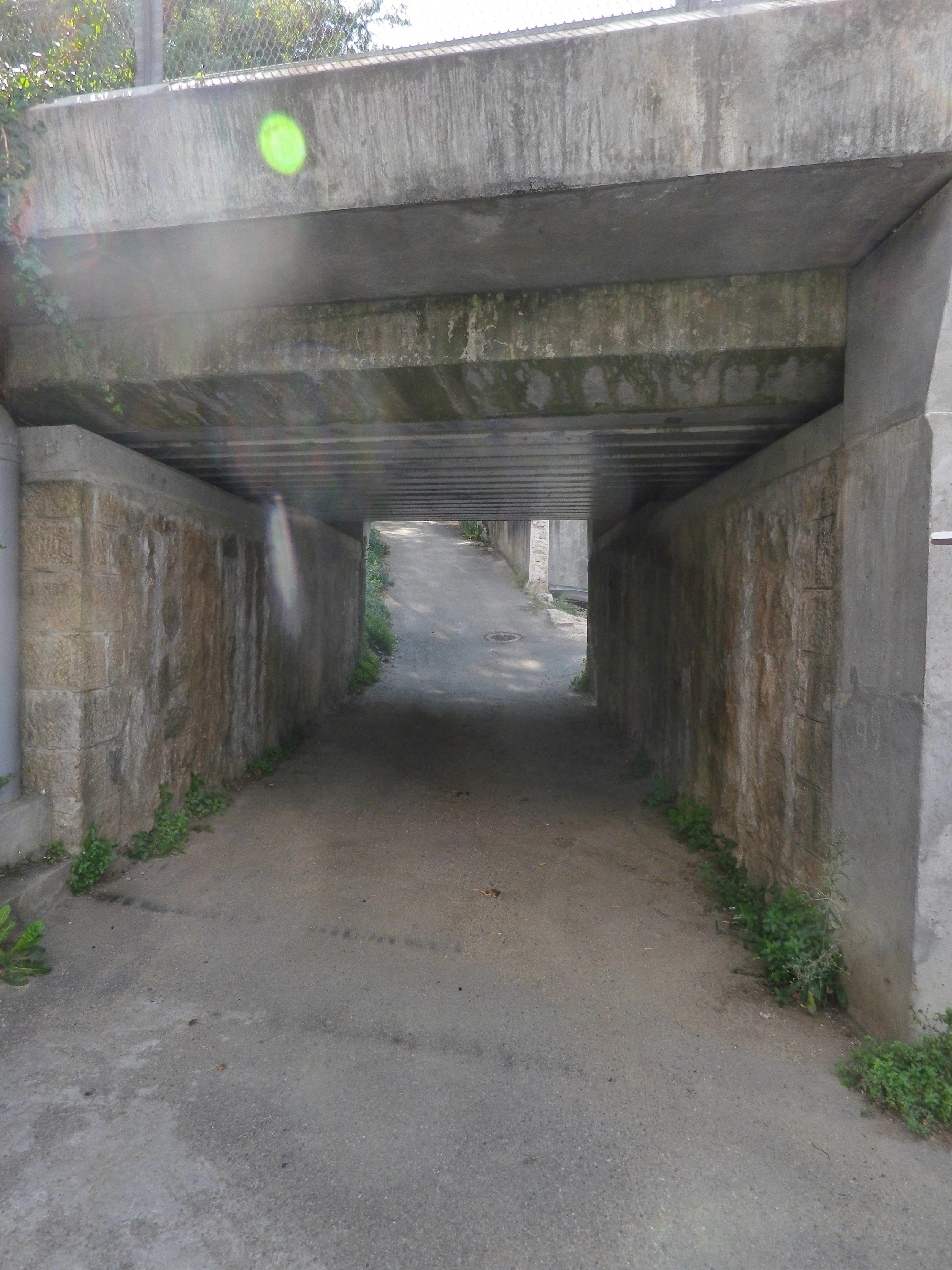
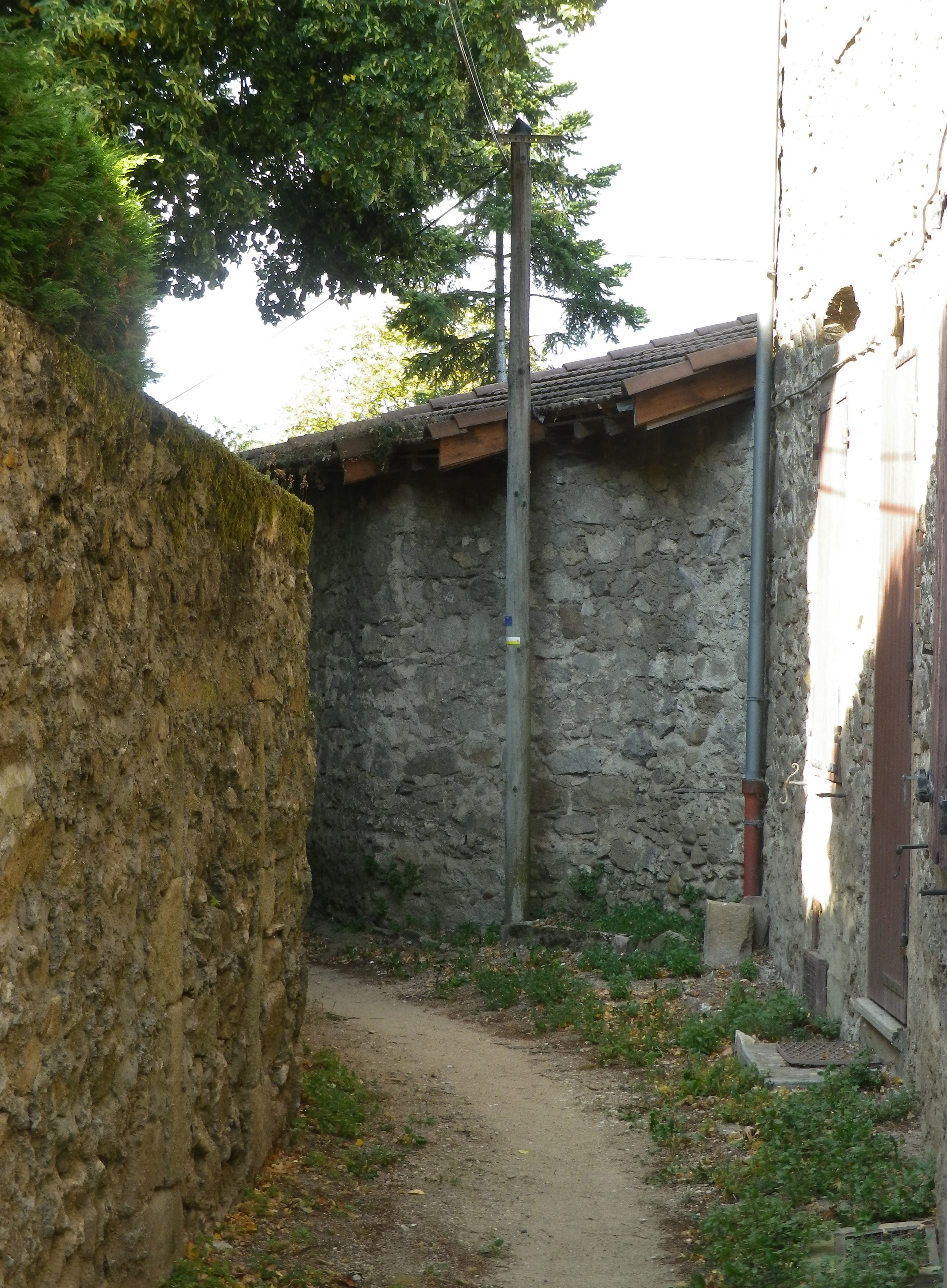
Trail Section: An Underpass


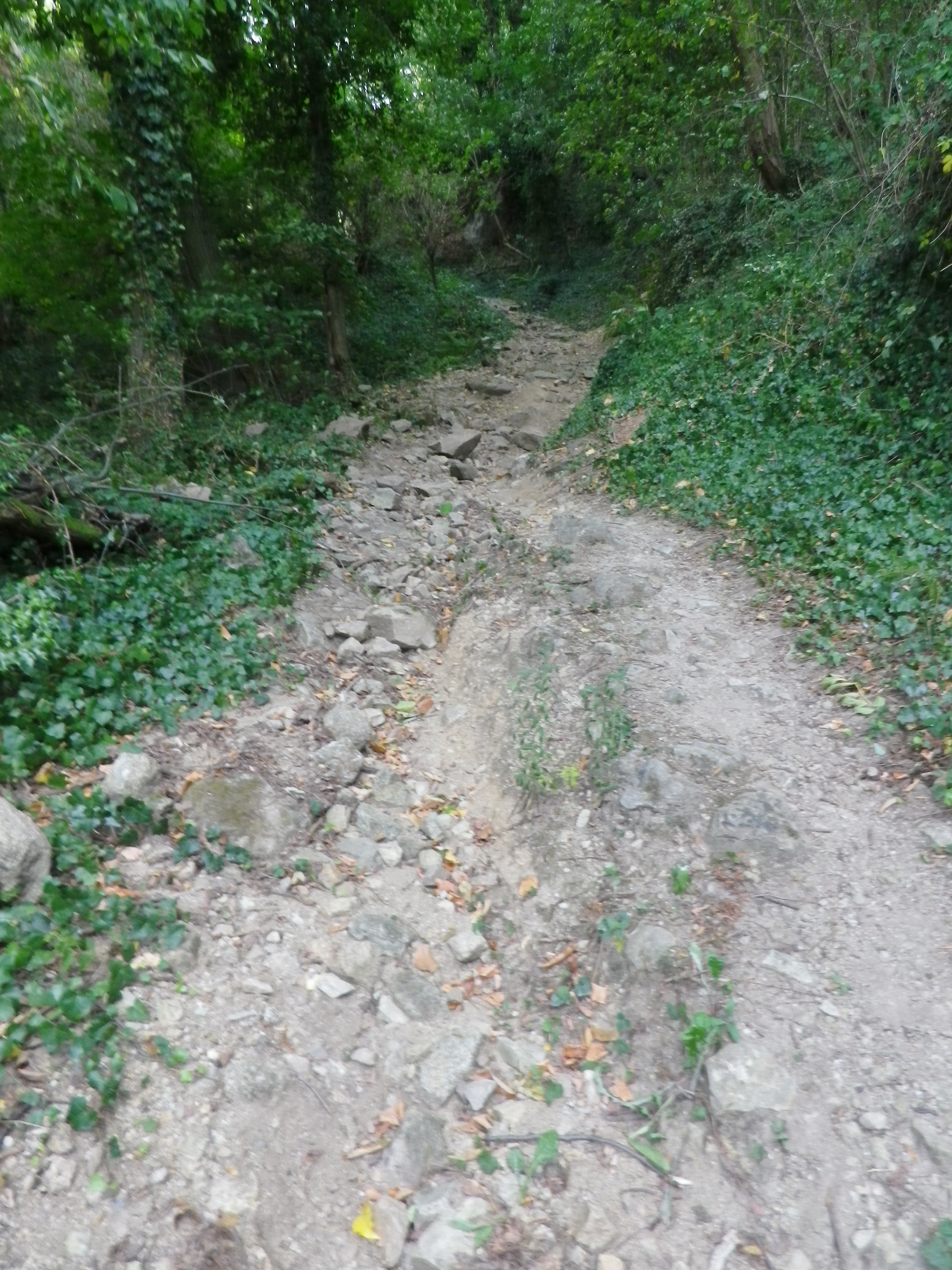
Representative Surface -Loose Stone and Rock


Trail Between Houses


Restrooms:

St Michel sur Rhone: R du Solon, by church and Restaurant

Attractions on or near Trail:

Just lots of wonderful views of the famed vineyards

Tasting along the Trail:

Condrieu, the town, has the most wineries, although there are a few, smaller ones along the trail, especially in Saint Michel sur Rhone

Alternative Options:

Hiking: Dans les Vignobles de Cote-Rotie et Condrieu, a three-day, 44-kilometer circuit trail of short stages around both the Cote Rotie and Condrieu appellations.

Additional Information:

Regional: https://www.condrieu.fr/# and https://www.vienne-condrieu.com/

Trail specific: https://www.mairie-saintmichelsurrhone.fr/loisirs_randonnees_a_saint_michel.php

Comments:

There were a couple of places where the trail followed in between a house and a barn or other building, or a house and a pool. In all cases, it was indeed part of the trail. (There were a couple of rail track underpasses as well.  )

Wein und Obst Tour: Trail in a Nutshell


Trail Name: Wein und Obst Tour (Wine and Fruit Tour)

Trail Type: Medium distance cycling circuit; much of it paved, well maintained in all but a couple of very small sections, good trail signage along most of the way.

Length: Total: 25.5 kilometers/16 miles

Convenient to: Ludwigsburg, or Heilbronn, Germany

Marking: Blue lettering “Wein und Obst Tour”

Trail Description: A well laid-out cycling itinerary up and away from the Neckar River, while mostly on dedicated bike paths (or farming access lanes) through a variety of agricultural landscapes, as well as towns and villages. While not difficult, there are some hills, and a couple of long, unshaded stretches of trail, as well as the schnapps to watch out for!

Trailhead:

Official: Walheim: Intersection of Besigheimerstrasse and Hauptstrasse

Mine:  Kirchheim am Neckar: Hohensteinerstr (by the sports fields)

Parking:

Kirchheim am Neckar: Ludwig-Jahn-Str x Brunnenstr (Gemeindehalle) (Check for hours) or Ludwig-Jahn-Str x Hohensteinerstr (Sports field)

Erligheim: Schulstr (sports field)

Public Transportation Options:

Bus: Some towns are served by the Stuttgart RegioBus line, with regular service to Loechgau or Kirchheim am Neckar.

Rail: DeutscheBahn regional trains (Stuttgart to Heilbronn and vice versus) serve both Kirchheim and Walheim with several convenient options every day.

Suggested Stages:  Not applicable

Trail Itinerary-Reference Points:

Walheim: Haupstr-Heilbronnerstr, path along west side, then a specific crossing point to east side of tracks; follow along the river; Kirchheim am Neckar: Am Neckar, underpass, Hauptstr-Rathausstr, Bachmuehlweg-Talstr-path through fields; Hohenstein: Feldbrueckenstr-Kirchwiesenstr-Muehlstr-Mittlerestr, path to Hoffen: Neubergstr-Gutenbergstr, Sonnenhalde; Erligheim: Schulstr-Friedhofstr-Hauptstr-Talstr, Kuhaeckerstr, path (past Ferienwohnung am Weinberg, Habertsaustr (path), through woods; Freudental: Wolfsbergweg, Seestr, Kirchstr, Bietigheimerstr, path to Loechgau: Friedhofstr-Mauerstr-Grabenstr, Nonnengasse-Hauptstr, past the church, Neuestr-Kelterstr; fields and orchard paths past Baumbachhof, path along Baumbach creek; Walheim: Im der Eichhalde-Weinstr, Im Haiglen-Karlstr, rail underpass

Representative Trail Photos:

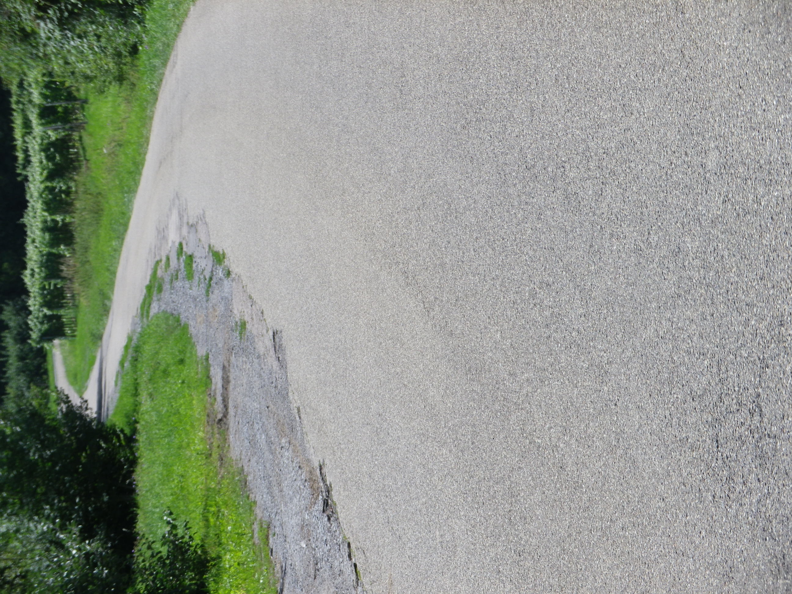
Representative Paved Trail Section


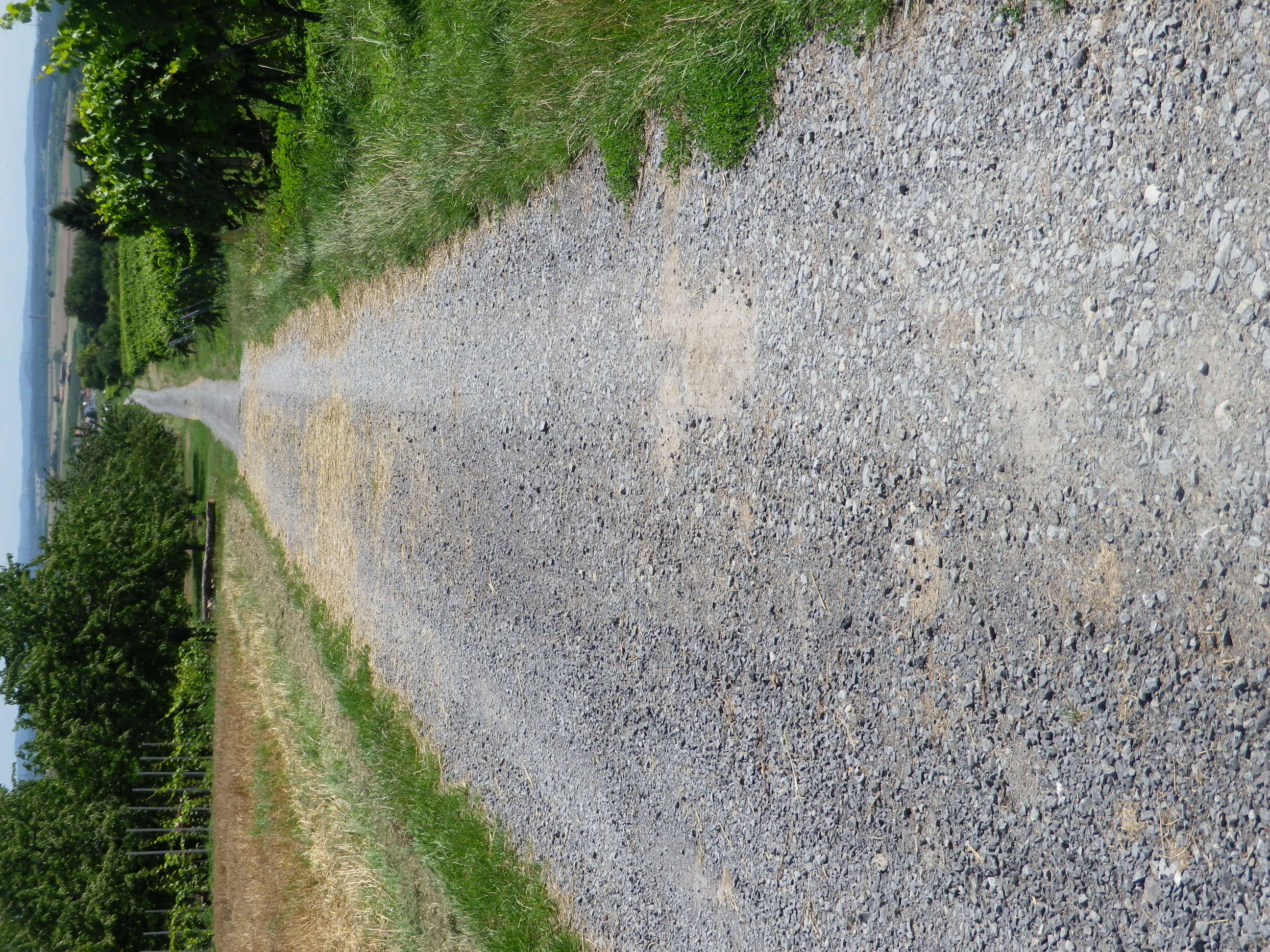
Sample of Unpaved Trail Section


Small Section of Unimproved trail


Restrooms:

None observed!

Attractions on or near Trail:

Museum in der Stiftsscheuer, in nearby Mundelsheim, provides information about local viticulture, as well as other topics.

Several viewing areas are set up throughout the region to provide great scenic panoramas over the vines, and distant countryside, the closest to the trail being the Schoenste Weinsicht Besigheim, in Walheim.

While not wine related, the Schnaps Museum in Boennigheim, displays information about the alcoholic fruit beverage of schnapps.

Tasting along the Trail:

The WG Strombg Zabergau regional winery has an outlet in Boennigheim, and is a good place to obtain bottles of some of the regionally renowned named vineyard parcels such as Kirch-, Sonnen-, Lerchen- berg. While Erligheim has several individual family wineries such as Weinbau Reichert; Weingut Baehr; Weingut Schifferer and Weingut Mayer.

Alternative Options:

Hiking: From nearby Besigheim, hikers may choose one of a couple of half-day circuits developed by the Felsengartenkellerei (a local winery), with downloadable maps at https://www.felsengartenkellerei.de/credo.html . See a Nutshell of one of them here.

Biking:

The 96.4 kilometers (64 miles) Wuerttemberger Weinradweg Variante Stromberg im HeilbronnerLand circuit tour is a much longer, and more challenging tour through the towns and nature park area of Stromberg-Heuchelberg.

The 29 kilometer Land-Wein tour is a circuit tour beginning just south of Walheim in the picturesque town of Besigheim, follwong along and crossing the Neckar River a couple of times. It shares some of the Wein und Obst Tour itinerary in the flatter areas. (See the Marking photo above.)

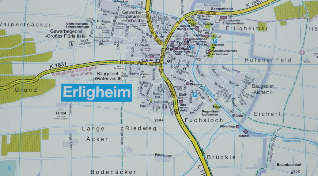
Car: The Wuerttembergische Weinstrasse car touring itinerary covers this territory, and more. The shorter Kraichgau-Stromberg Weinstrasse car touring itinerary covers a smaller district, heading primarily west from Erligheim. See featured photo above.

Additional Information:

Regional: https://www.3b-tourismus.de/  (The 3B stands for the three regional centers of Boennigheim, Besigheim and Bietigheim-Bissingen.)

Trail (segment) specific:

https://www.tourismus-bw.de/Media/Touren/Kraichgau-Stromberg-Wein-Obst-Tour

Comments:

A pleasant, half-day excursion, if you find yourself in the Stuttgart region and want to experience unspoilt Swabian countryside!


Tour dei Vigneti: Trail in a Nutshell


Trail Name: Tour dei Vigneti

Trail Type: Short to medium distance; almost exclusively paved, well maintained, but the route itself is not always marked.

Length:

Segments – 1.5, 3.5, 5, 5.5, 8 and 10 kilometers/6 miles

Total – Variable, depending on trail segments taken

Convenient to: Aosta, Italy

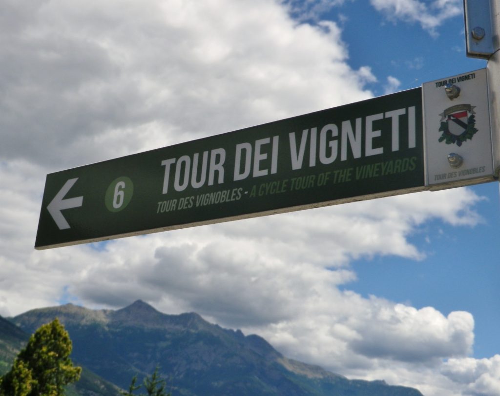
Marking: Green rectangular Sign with white lettering “Tour dei Vigneti” and a number

Sign: Tour dei Vigneti


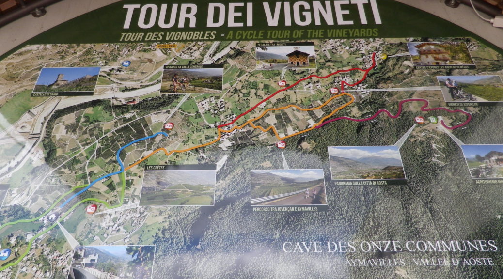
Trail Description: A series of short, one-way routes along dirt paths or little-traveled roads covering the village of Aymavilles and nearby hamlets. The numbered routes range from easy (most segments) to difficult, and may be combined according to time and/or ability, and to form circuits.

Trailhead: Cave des Onze Communes, Frazione Micheley, Aymavilles

Parking:

Aymavilles –

Small lot along SR47, just south of the Old Grizzly Café, and another lot further up the road between the roads Micheley and Urbains

In Frazione Vecellod, along street of the same name, just after the sign for the road to Aosta.

Pompoid – by the playground/sports field (basketball and soccer)

Public Transportation Options:

Bus: Societa Valdostana Autoservizi Pubblici (SVAP) Aosta-Cogne line, services Aymavilles from Aosta

Rail: No rail service to Aymavilles. (The closest rail station is in St. Pierre, about 4 kilometers distant.)

Suggested Stages:

This is a series of linked trails, branching off from one another, therefore you can choose which segments you want to do, for a total of about 10 kilometers

Trail Itinerary-Reference Points:

Aymavilles: Frazione Micheley, behind small mount and return, Frazione Pompiod; Pompiod: through village center, past soccer and basketball court, through fields; Jovencan: Frazione Adams, Frazione Pinga, Frazione Jobel, retrace partly; head to Agriturismo Mont Rosset, retrace; Pompiod: through fields and vineyards; Pompiod: retrace trail to small mount to the wine cooperative, but head south on Frazione Urbains, then Franzione Micheley around the castle; return to start.

Representative Trail Photos:

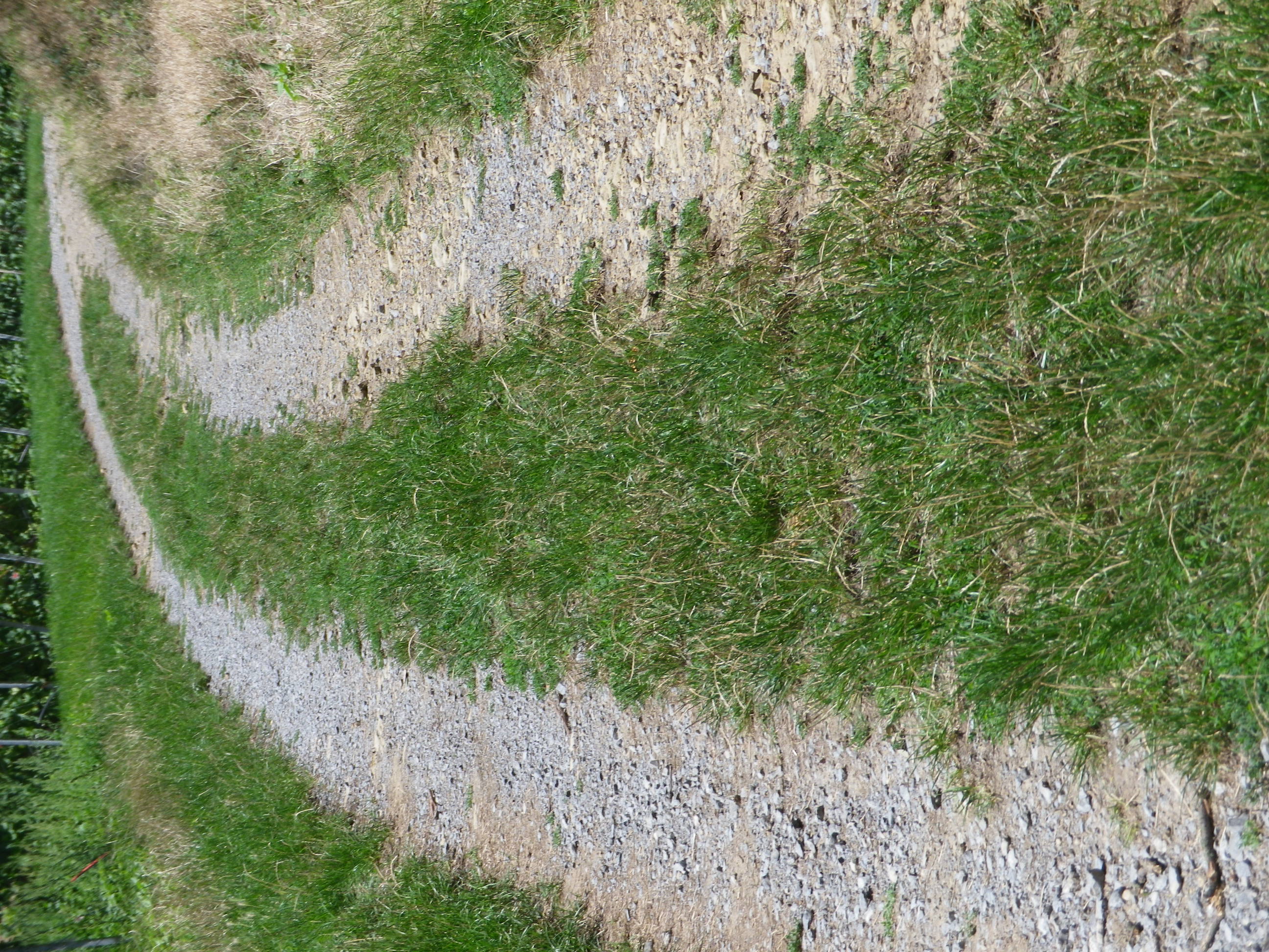
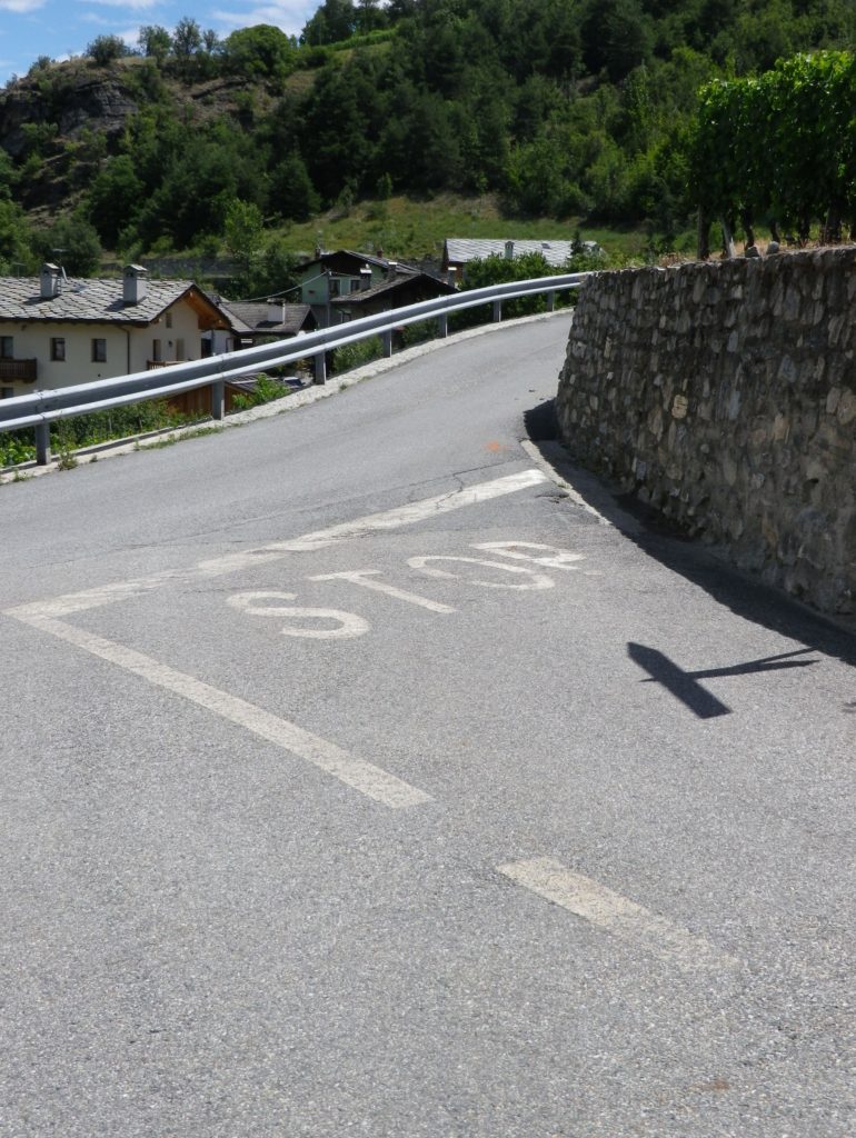
Trail Section along Lanes


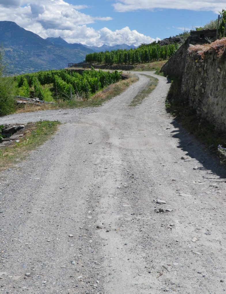
Non-Asphalted Trail Section


Restrooms: Aymavilles – on the lower part of SR 47 x Frazione Chef Lieu, by the church clock tower

Attractions on or near Trail:

Tasting along the Trail:

In Aymavilles, both Cave des Onze Communes and Les Cretes Viticoltori are open most days for visitors, morning and afternoon.

Alternative Options:

Hiking: Vignes et Terroirs vineyards series trails; a short circuit starts in Aymavilles.

Car: Routes de Vins Valle d’Aoste, a series of five short routes totaling about 130 kilometers, almost interlocking, covering the Aosta Valley wine producing areas.

Additional Information:

Regional: http://www.lovevda.it/en

Trail (segment) specific: http://www.caveonzecommunes.it/tour-dei-vigneti/

Comments:

The Aymavilles wine-making community designed this system of cycling itineraries for E-Bikes, which along with regular bicycles, may be rented locally. While mountain bikes are not necessary, sturdy tires are, as parts of the trail are not on asphalt! (See the photos above.)

Obviously a very short ride, but its several variations adds to its attraction. Any number of variations could prove feasible to families with tweens and teens looking for a late afternoon’s diversion; and for an early morning constitutional!


Radwanderweg Fraenkische Saale: Trail in a Nutshell


Trail Name:  Radwanderweg Fraenkische Saale

Trail Type: Long distance bicycle trail (much of it dedicated bicycle trail); well-maintained and diverse surfaces from paved to crushed stone, fairly good marking along the trail.

Length:

Total – circa 127 kilometers/79 miles

My Stage: circa 28 kilometers (See Comments below)

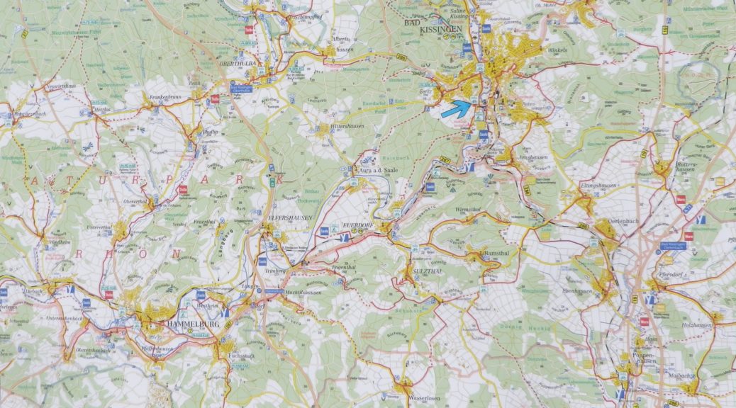
Convenient to: Bad Kissingen, Gmuenden, Franconia, Germany

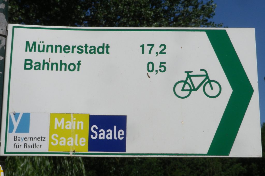
Marking: Blue background with white letters “Saale”

Sample Signage along the Trail


Trail Description: Fairly flat, with the inclines due to small spurs of more distant ridges, this quiet trail indeed follows mostly along the river, and through some of the riverside towns and villages, which make for great stops along the way.

Trailheads:

All Stages: -Trappstadt-Alsleben // Gmuenden am Main

My Stage: Bad Kissingen,  In der Au x Bismarkstr // Diebach, Reuthweg

Parking (My stage only):

Bad Kissingen:

In der Au, dozens of perpendicular parking spaces along the lane; Costs one Euro per day/Four Euros for the week.

Maxstr, Parkplatz Tattersall is a large, improved lot, but costs more per day.

Diebach: Obertor, large unimproved area in a field (by parking sign at the eastern edge of town)

Public Transportation Options:

Rail: DeutscheBahn serves Hammelburg and Bad Kissingen with small stations in most of the towns mentioned in the trail itinerary below.

Bus: HOB Bus lines 8165, 8141

Suggested Stages: Not applicable for my stage

Trail Itinerary-Reference Points: (My stage only – heading downriver)

Bad Kissingen: Bismarkstr, Lindesmuhlpromenade (an alternate path through the park), Oskar von Miller Str, Im Lindes, past water treatment plant, parallel Iringstr; into forest, along the river, cross the Lollbach, parallels B287; Euerdorf: Ringstr, Kissingerstr, Gerbergasse, path along the river, parallel Auraerstr, Ara: Hauptstr, Trimbergerweg; Trimberg: Quellenstr, Hugo-von-Trimberg-Str-Brueckenstr; Elfershausen: Pass Elfershausen-Trimberg train station, August-Ullrich-Str, Marktstr, Langendorfer Str, cross river; Pass under A7, parallel river; Langendorf: Hauptstr, Westheimerstr, cross river; Westheim: Grenzstr, path left to cross river (two times in about 500 meters); Hammelburg: Pass Hammelburg Ost train station, An der Walkmuehle, Kissinger Str, straight at circle, continue, Am Marktplatz, Bahnhofstr,  Saaletalstr, then cross tracks and follow parallel path;

Representative Trail Photos:

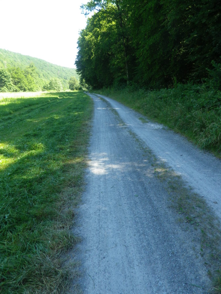
Sample of Non-Asphalted Trail Surface
Representative Section of Trail and Surface
Section of Trail in Bad Kissingen


Restrooms (My stage only):

Bad Kissingen: Am Kurgarten, in the Arkadenbau (arcaded building)

Elfershausen: Schlossstr x Marktstr, at the Community Center, in an outbuilding facing the courtyard

Hammelburg: Marktplatz, on the side of the Rathaus

Attractions on or near Trail (My stage only):

Hammelburg:

Kellereischloss: Historic wine cellar, with wines on offer weekly, usually Friday evenings

Museum Herrenmuehle details the history of wine-making in this area, and with its other emphasis on bread-making, from grain to final product. A recent new exhibition combines these two items under the theme: Bread and Wine.

Tasting along the Trail (My stage only):

Hammelburg: Weingut/Hotel/Restaurant Mueller; Weingut Schloss Saaleck, Kellereischloss (see above), right on the trail; several small wineries on the outskirts of town

Ramsthal: A couple of wineries in town. (Ramsthal is about  three kilometers from the river trail.)

Bad Kissingen: No wineries, but lots of wine taverns and local wine selections at the many restaurants.

Alternative Options (My stage (and wine-themed) only):

Hiking:

Rundweg Hammelburg 9: A seven-kilometer trail beginning in Hammelburg, passing in about equal parts through vineyards and forest, with beautiful views all around.

Wein und Stein trail, from Euerdorf to Bad Kissingen, a 12 kilometer-long, signposted trail of medium difficulty. See details in regional link below.

Ramsthal: The Ramsthal Weinerlebniswege: Three circuits around the town’s vine-bearing hills, ranging from the three kilometers-long Bacchus Rundweg, to the Schoppen Rundweg at 7.2 kilometers in length.

Additional Information:

Regional: https://www.frankens-saalestueck.de/weinland-franken/frankenwein-urlaub/index.html

Trail specific:

http://bay-rad.de/gpxrw/BfR_Radwanderweg_Fraenkische_Saale.gpx

Downriver only from Elfershausen to Hammelburg and Gemuenden am Main:

https://www.outdooractive.com/de/route/radtour/rhoen/fraenkische-saale-von-elfershausen-nach-gemuenden/101939808/#dm=1

Comments:

The trail along the Fraenkische Saale is long, but I focused only on the vineyard part of it: from south of Bad Kissingen to just west of Hammelburg (Stadtteil Untereschenbach).

This trail connects with the Main Radweg, the Main River Bicycle Trail, leading to the Rhine by Mainz, from which point it is possible to follow the Rhine Bicycle Trail. For details on part of each trail, see the Rhine Nutshell here, and the Main Nutshell here.

Kitzecker Weinwanderweg: Trail in a Nutshell


Trail Name:  Kitzecker Weinwanderweg

Trail Type: Short-distance circuit trail; mostly well-maintained and with a variety of trail surfaces; marking on the trail mostly good.

Length:

Total – 9.3 kilometers/5.75 miles

Convenient to: Graz, or Leibnitz, Austria

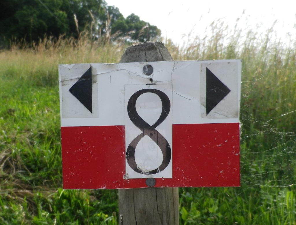
Marking: Black number 8 on a rectangular red and white stripe background

Signage: Kitzecker Weinwanderweg


Trail Description: This trail passes through a great variety of landscapes, and its hikers will encounter diverse trail conditions along the way. Three significant inclines/declines, but once on top hikers will enjoy fantastic panoramas of the surrounding district and beyond.

Trailhead:

Kitzeck in Sausal, Steinriegel, by the wine museum and church

Parking:

Kitzeck in Sausal, Steinriegel, by the wine museum and the church

Public Transportation Options:

Rail: Closest rail connection is in Leibnitz, coming from Graz. The Austrian train system is the Oesterreichische Bundesbahnen (OeBB), and the https://www.oebb.at/en/fahrplan link will provide timetable information for both the OeBB trains and Post bus system. (See below).

Bus: The OeBB Post bus system currently (June 2020) services Kitzeck from Leibnitz about 3 times a day on weekdays. Less often on weekends or holidays.

Suggested Stages: Not applicable

Trail Itinerary-Reference Points: (Clockwise)

Kitzeck: Sauegg Weg, path (found across from Kitzeckmueller tavern/restaurant driveway) through field then woods downhill to Sauegg, path along stream; Greith: cross L636, Schnabelveigl Weg; Annaberg: Landgutstr, path through forested area, Poetscherlweg; Perlleiten: along hamlet lane, vineyards, meadow, then pass Weingut Albert; Kleingauitsch: Uphill along L678, turn right onto path through fields and vineyards, woods; Kitzeck: Joshweg-Sacherneggweg I, L636 (AKA: Steinriegel and Sausaler Weinstrasse)

Representative Trail Photos:

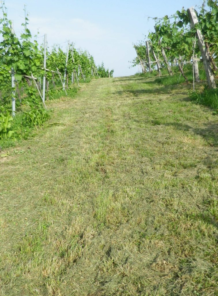
Trail Section: Recently Mowed Grass Path


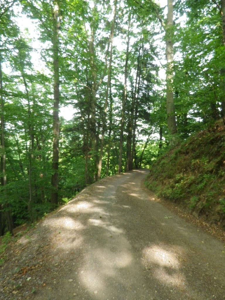
Through the Woods: Sample Trail Section


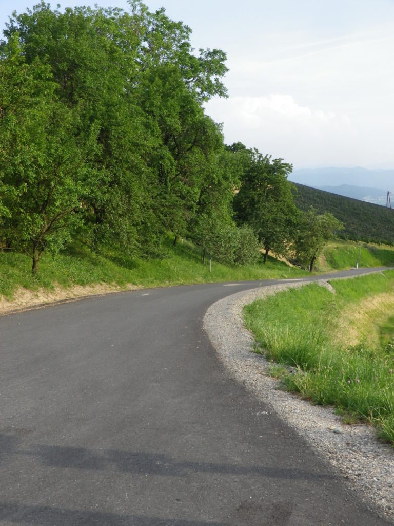
Representative Trail Section Along a Road


Restrooms:

Kitzeck: Steinriegel, behind the wine museum

Attractions on or near Trail:

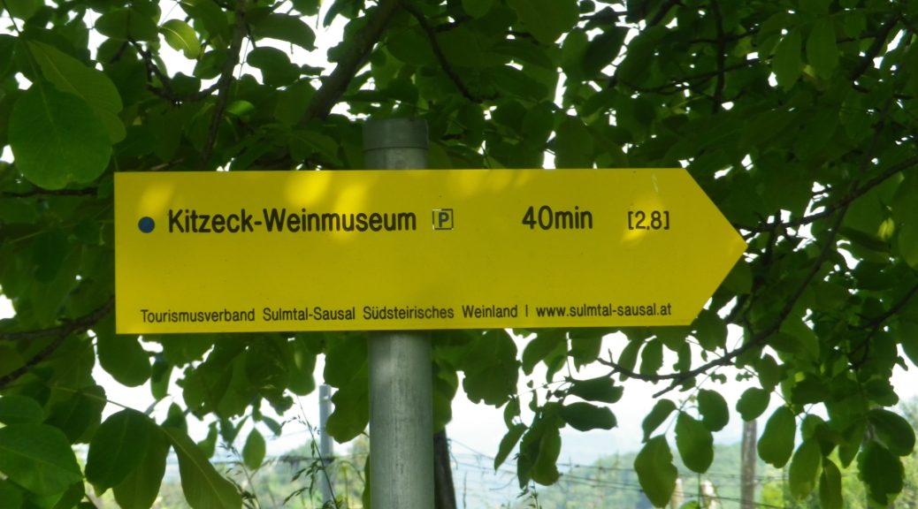
Wein Museum: Highest wine museum in Europe

Tasting along the Trail:

Several wineries along or very close by, the trail

Alternative Options:

Biking: The Weinstrasse Tour offers four different variations (72, 49, 31 or 25 kilometer-circuits) on mostly little used roads through this wine district.

Mountain biking: The Klapotetz (elaborate scarecrow-like devices vintners use in the vineyards) MTB Runde is a 31-kilometer-long circuit passing through Kitzeck, and passing as far south as Heimschuh.

Car: Both the Suedsteirische Weinstrasse and the Sausaler Weinstrasse are relatively short, scenic car routes which take visitors to different wine villages, wineries and past local vineyards in this area.

Additional Information:

Regional: https://www.kitzecksausal.at/tourismus/tourismusverband/

https://www.sulmtal-sausal.at/de

Trail specific: https://www.outdooractive.com/de/route/wanderung/suedwest-steiermark/kitzecker-weinwanderweg-/1512229/

Comments:

Trail sections through meadows can be rather overgrown in June.

Toerggeleweg: Trail in a Nutshell


Trail Name: Toerggeleweg Villanders/Villandro (AKA Toerggelesteig) (See comment below)

Trail Type: Short distance circuit; somewhat maintained, mostly rough surfaces outside built-up areas, sometimes spotty marking on the trail.

Length:

Total – approximately 8.5 kilometers/ 5.25 miles

Convenient to: Klausen/Chiusa, Bozen/Bolzano, or Brixen/Bressanone, Suedtirol/Alto Adige, Italy

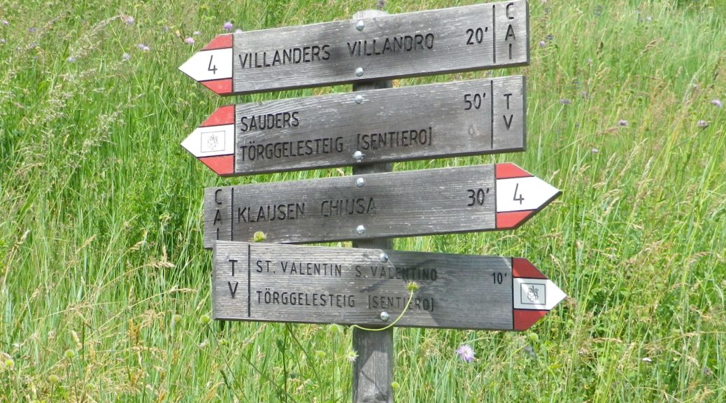
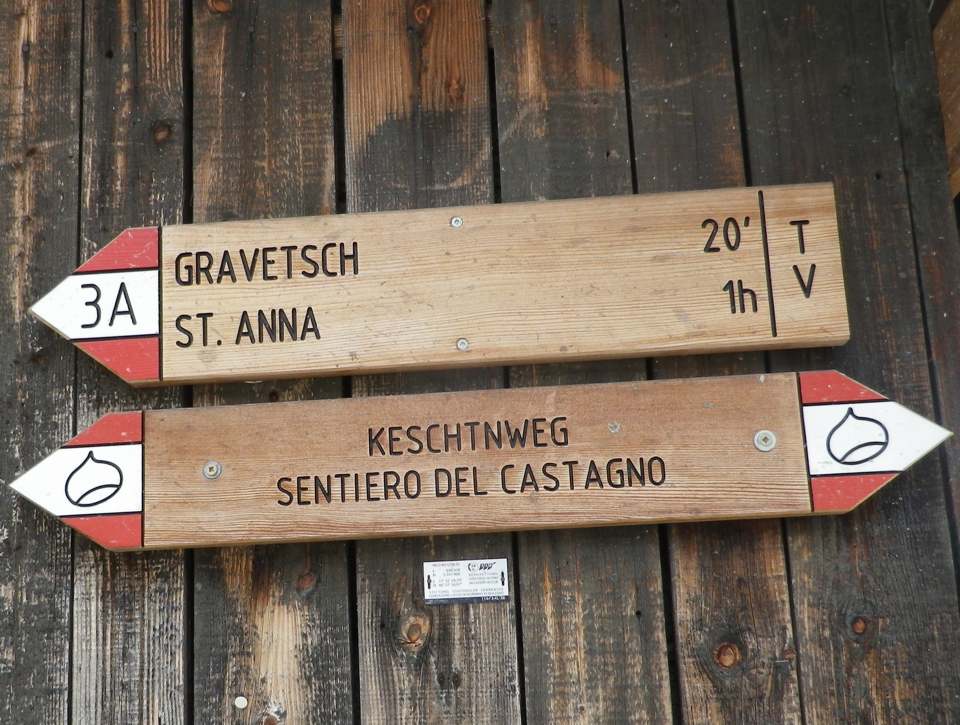
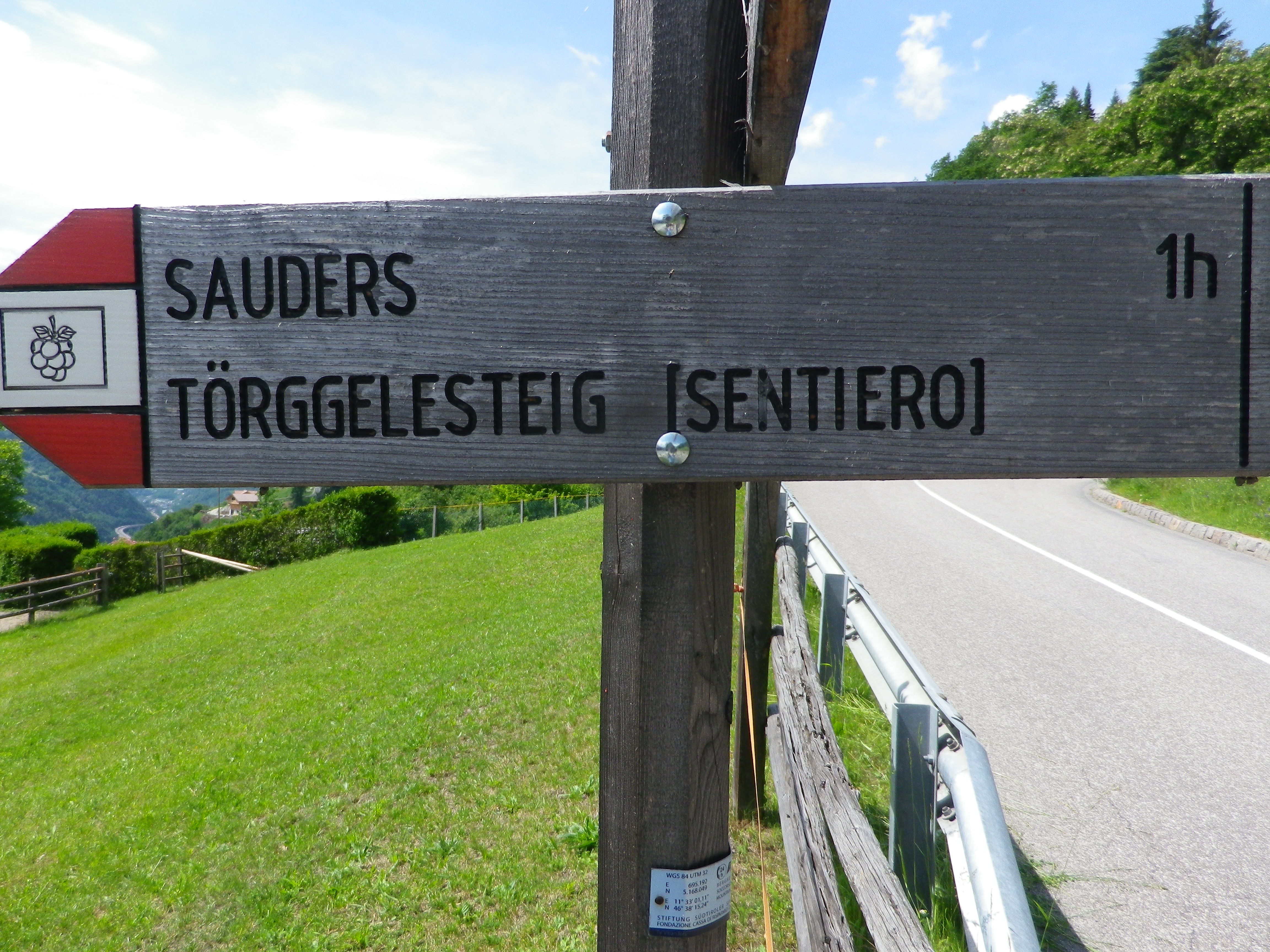
Marking: Partly along the Keschtnweg/Sentiero del Castagno (chestnut outlined in black on a white background), partly along the Toerggeleweg (AKA Toerggelesteig) bunch of grapes outlined in black on a white background; In Italy in general, horizontal white and red rectangles, either in isolation or with a trail name or symbol, indicate you are on a hiking trail.

Keschtn/Castagno Trail Marking


Toerggelesteig Signage


Trail Description: Beginning in a village, this circuit trail passes through a nice variety of woodland, meadow and vineyard landscapes, while providing fantastic views of the majestic Dolomite peaks in the Odle Group. While slightly more challenging than some vineyard hikes on account of the rougher trail surfaces (in places), numerous ascents and descents, and generally steeper terrain, it is suitable for most moderately fit hikers.

Trailhead:  Villanders: Kirche Sankt Michael/San Michele, Vicolo Franz v. Defregger (by Hotel Ansitz zum Steinbock)

Parking:

Villanders: Unterdorf, a medium-sized lot (behind and below the townhall/tourism office)

Public Transportation Options:

Rail: Regular service from Brixen (to the north) or Bozen (to the south) to Klausen

Bus: Service from Klausen to Villanders is available through Verkehrsverbund Suedtirol, the 345/ Villandro-Chiusa line. Information may be found (as of June 2020) at www.suedtirolmobil.info.

Suggested Stages: Not applicable

Trail Itinerary-Reference Points: (Clockwise)

Villanders: Center of Villanders (Unterdorf x Hofstatt)’ Path below Kirche Sankt Michael/San Michele, Fussweg St Stefano-Gravetsch, briefly on St Valentin; cross the creek; woods, Erzweg, Johannser (settlement), cross creek lower down; Sankt Valentin/San Valentino: Am Erzweg/Via alle Miniere, Landestrasse/SP 87, past a chapel; Bodenacker: Past some houses, onto Toerggelesteig path, downhill then uphill through woods; Oberstattleitner compound; Unter St Stefan/St. Stefano: Past the Ober- and Unter- Furner compounds; Sauders: past a church; Kirchsteig path (blue and white signs), Villanders: Hofstatt, toward town center (Ortsmitte)

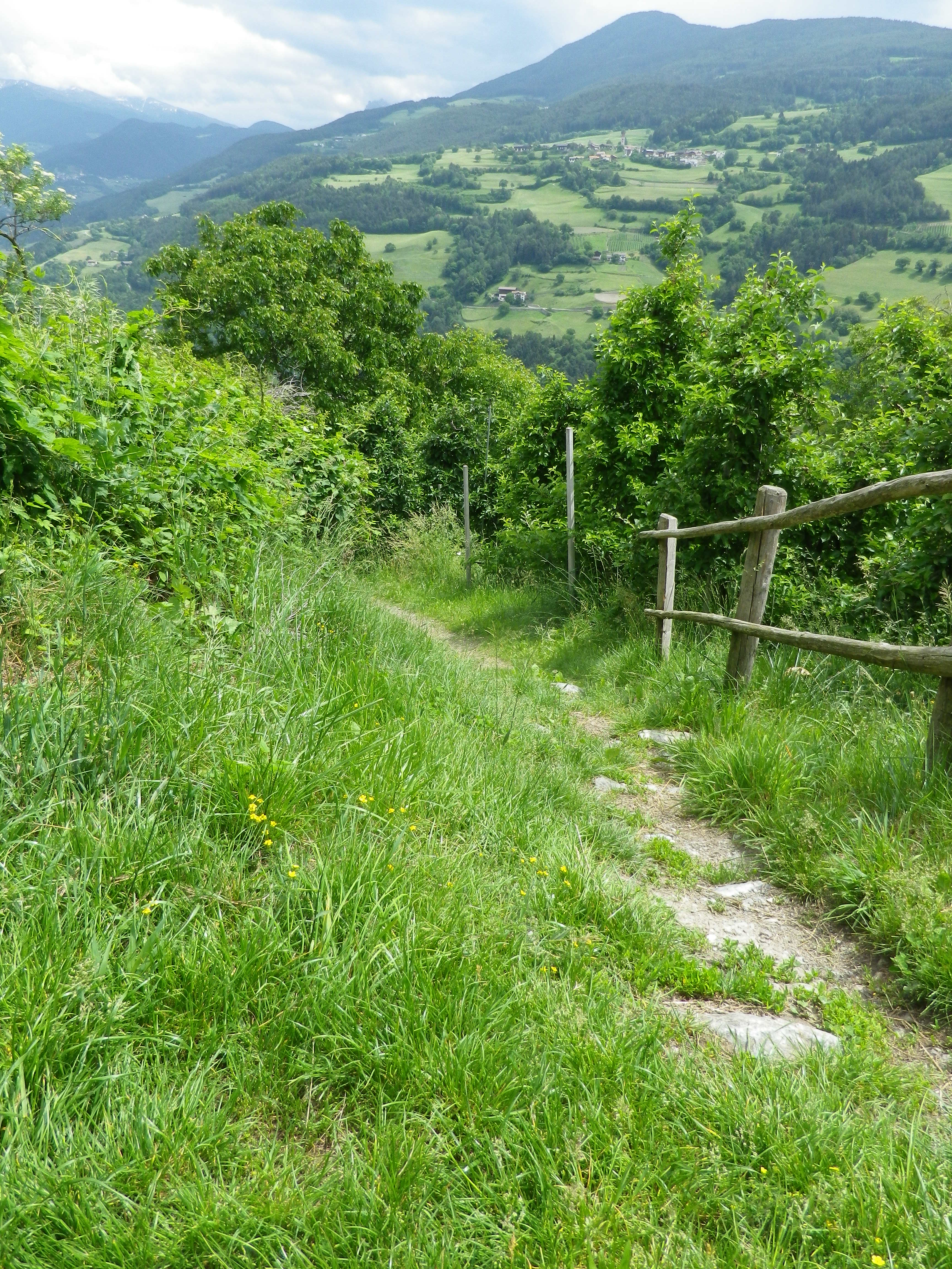
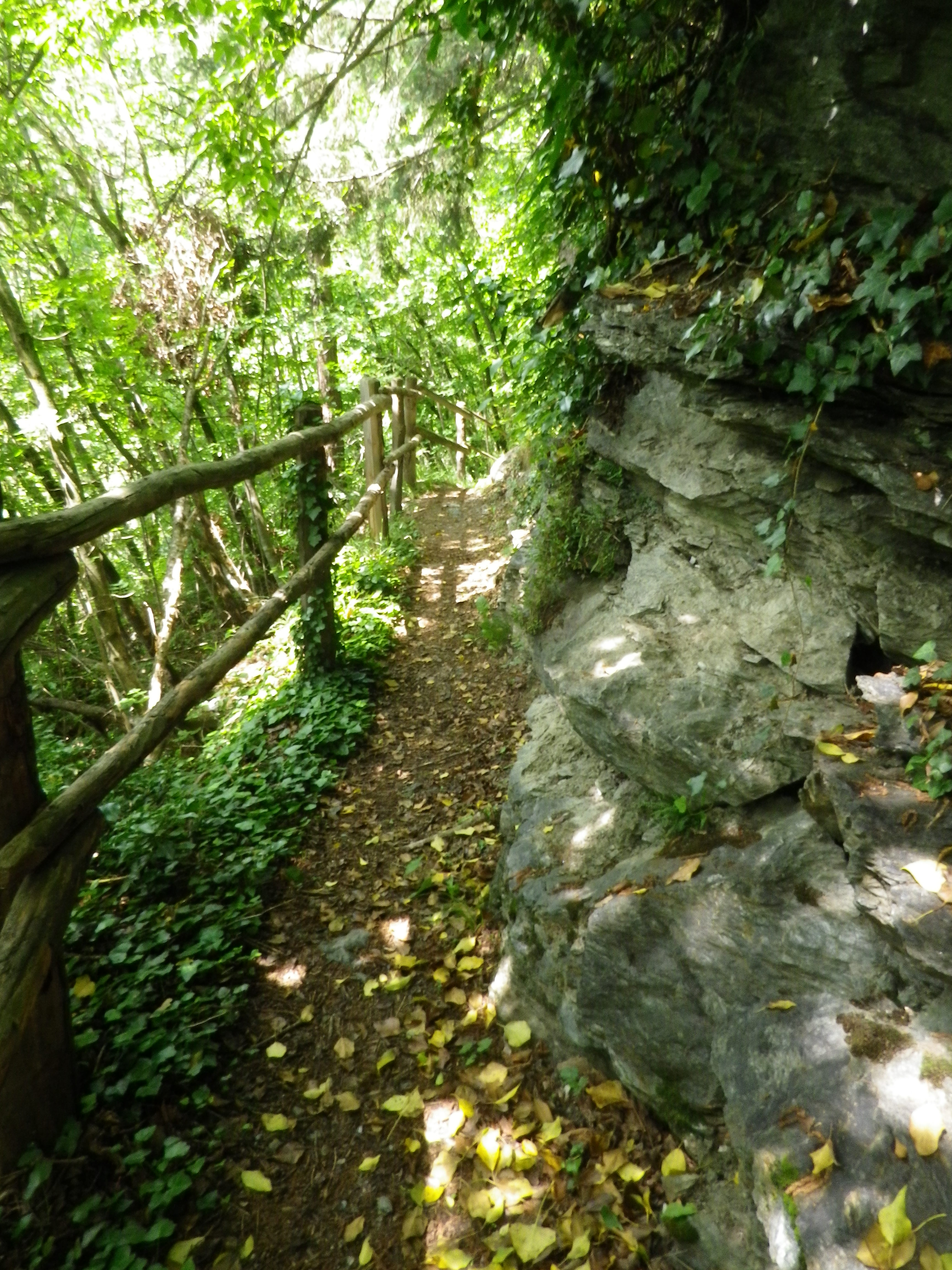
Representative Trail Photos:

Representative Trail Section Through Meadows
Representative Trail Section Through Forest


Restrooms:

Villanders/Villandro: In the Cemetery, in the hillside above the graves

Villanders/Villandro: Down behind the town hall complex, by the sports fields

Attractions on or near Trail: None (except the scenery!)

Tasting along the Trail:

Look for Toerggele or Buschenschank, especially in Sauders and nearby Oberfurner and Oberpartegg, and hotel restaurants in Villanders center.

The regional cooperative is on the outskirts of Klausen.

Alternative Options:

Hiking: Lots of hiking trails, naturally, but only the other Toerggelesteig trails in Klausen, Feldthurns and Barbian (see comment below), and the Leitach-Chiusa Sentiero del Vino (a 4.5 km circuit), are wine-themed trails.

Additional Information:

Regional: https://www.klausen.it/it/

Trail specific: https://www.klausen.it/it/365-giorni-attivita/escursionismo/escursioni-consigliati/

Comments:

In addition to Villanders, nearby Klausen/Chiusa, Barbian/Barbiano and Feldthurns/Velturno also have Toerggelesteig trails, especially popular during new wine season in the autumn. This may account for a number of trails in the area being marked on some maps as “Toerggelesteig,” which exceed the scope of the Villanders circuit described above.


Rotweinwanderweg: Trail in a Nutshell


Trail Name: Rotweinwanderweg (Red Wine Hiking Trail)

Trail Type: Long distance; surface footing is all hard, be it on tarmac or hardpacked earth to stair-steps; very well maintained, and extremely well-marked.

Length:

Total: 35.5 kilometers / 22 miles

My segment: Altenahr to Marienthal (@15 kilometers / 9 miles)

Convenient to: Bonn, Germany

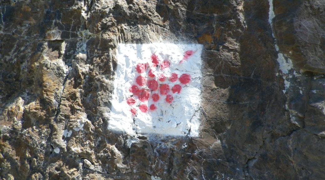
Marking: Red grapes on a white background

Trail Description:

This outstanding trail had a lot of variety – from the scenery, to the trail surfaces, with just enough challenge to make it fun. Sun and shade alternated as the trail passed from woods to vineyard. Judging from the numbers of couples and small groups, it is a popular trail, easily accessible from a number of points throughout its length, and one that offered several great wine taverns, as well as occasional rest areas with picnic tables, along the way.

Trailheads:

Altenahr: Seilbahnstrasse x B267

Bad Bodendorf : Bahnhofstrasse x Moselstrasse

Parking: (Altenahr to Heppingen only)

Altenahr: Seilbahnstrasse, a large lot

Rech: Brueckenstrasse (at the far end of the bridge)

Marienthal: Klosterstr, large lot at end of the improved road

Heppingen: Left off Burgstr, Parkplatz Friedhof, a large lot by the cemetery

Public Transportation Options:

Rail: Deutsche Bahn regional trains frequently service the Ahr valley, from Remagen to Ahrbruecke, with stops at all the villages/towns on the trail. (See the free ride tip below.)

Suggested Stages:

Altenahr to Mayschoss (4 km)

Mayschoss to Rech (3 km)

Rech to Dernau (4 km)

Dernau to Marienthal (4 km)

Marienthal to Walporzheim (3.1 km)

Walporzheim to Ahrweiler (3.4 km)

Ahrweiler to Bad Neuenahr (6.7 km)

Bad Neuenahr to Heppingen (2.2 km)

Heppingen to Lohrsdorf (2.5 km)

Lohrsdorf to Bad Bodendorf (2.1 km)

Trail Itinerary-Reference Points: (Altenahr to Bad Neuenahr only)

Altenahr: Altenburgerstr, Rossberg, trail for castle, then for Weisses Kreuz, vineyards, woods, more vineyards; Mayschoss: Weinhaus Michaelishof, Dorfstr, trail through vineyards, Rech: joins above In Der Aue; vineyards, then woods; Dernau: vineyards, cross K35, cross Bachstr, vineyards; Marienthal: Klosterstr; past the Kloster Marienthal winery, then ruins; Vineyards and woods, past Weingut Forsterhof; Bad Neuenahr-Ahrweiler: Im Teufelbach-Am Silberberg, vineyards, cross Elligstrasse, vineyards; Lantershofen-Grafschaft: cross L83/Hemmessener Str; Bad Neuenahr-Ahrweiler: cross over A573, vineyards; cross top of Bergstr, woods; Cross under A61; Heppingen: Jahnstr, past cemetery, cross Burgstr, woods, then vineyards; Lohrsdorf: Ritterstr, Grosser Weg, B266, vineyards, woods; Bad Bodendorf: Heerweg, turn at Winzerverein Bad Bodendorf onto Bahnhofstr.

Representative Trail Photos:

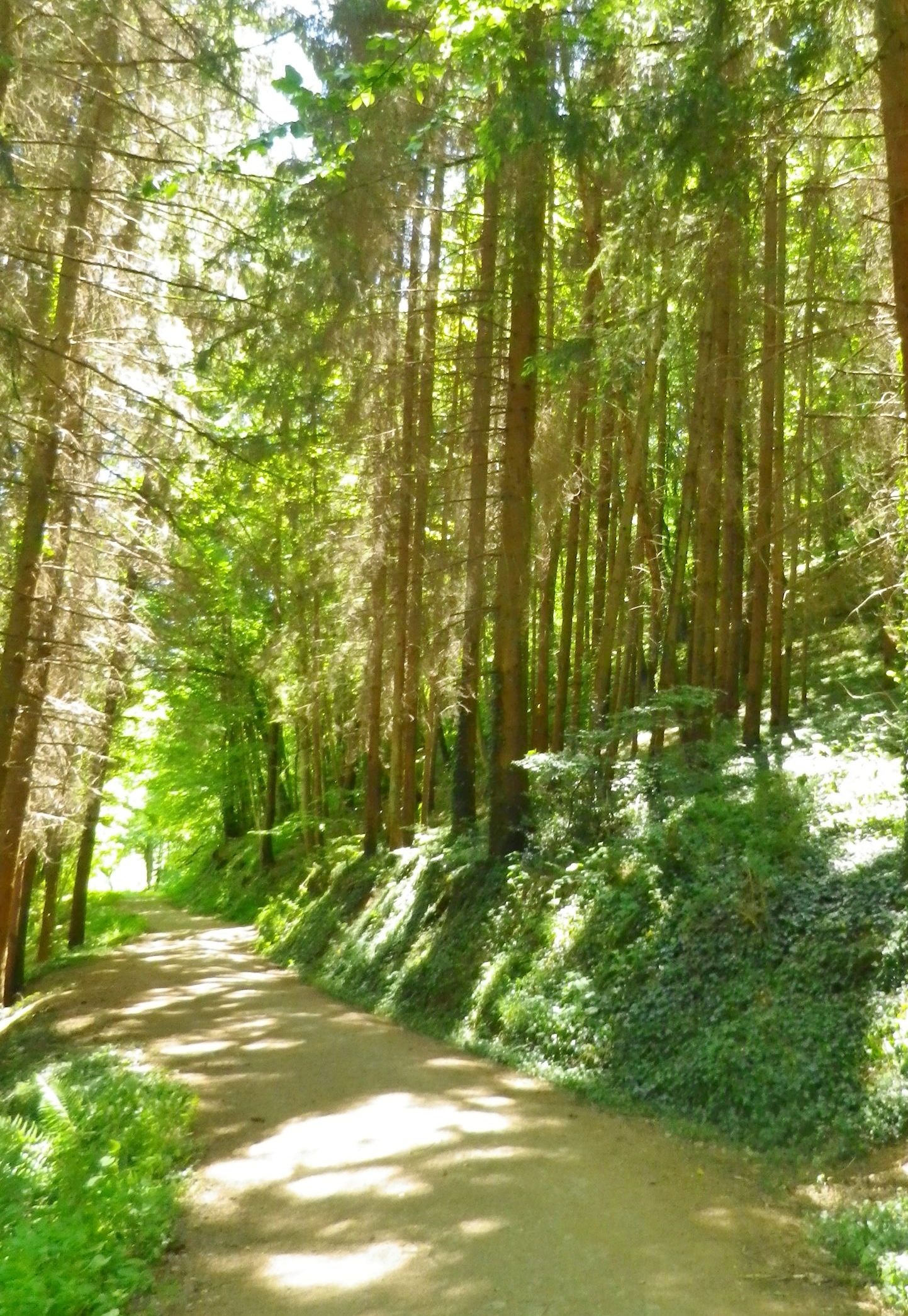
Section of Woodland Trail


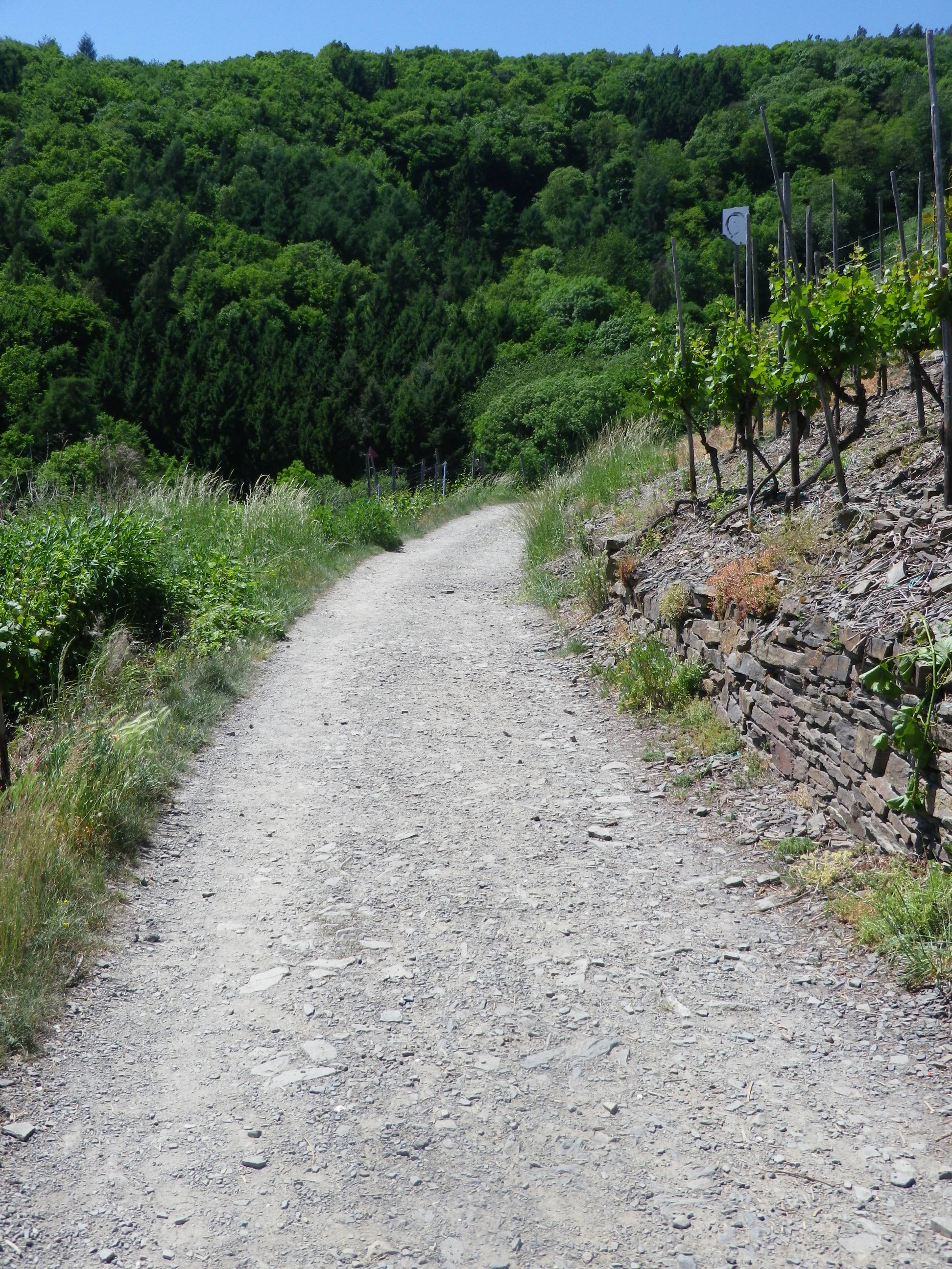
Trail: Sample Section Through Vineyards


Restrooms: None observed!

Attractions on or near Trail:

Ahrweiler: AhrWeinForum, a museum with permanent displays focusing on the life of vintners in the vineyards and in the cellars.

Tasting along the Trail:

Many taverns, wine bars and wineries (See itinerary above for ones directly on the path). Many more may be found off the trail in town/village centers.

Alternative Options:

Biking: The 75-kilometer-long Ahrradweg (Ahr Bicycle Trail) begins further upriver, and from Altenahr covers the same wine villages, albeit from the valley floor, mostly on dedicated bike paths, following along the river.

Additional Information:

Regional: https://www.ahrtal.de/en/

Trail  specific: https://www.outdooractive.com/de/wanderung/ahrtal/rotweinwanderweg-ahrtal/1362674/#dm=1

Comments:

I was enthralled by the gorgeous and dramatic scenery. As a wine drinker, I came to appreciate every curve and new hillside, which sheltered yet another natural bowl for the vines to thrive in. A one-day hike of slightly less than half this trail, (followed by a good soak in the mineral waters), was simply not enough time to spend here.

Bad Neuenahr-Ahrweiler is a health resort area, and it has a number of attractions which might appeal to visitors: open air jazz or classical concerts, wine tastings and spa treatments.

If staying in the valley at a local hotel, the hotel-provided guest card will serve as a train ticket during your stay! The train is the ideal way to cover the stages of this hike.

Wein Wandern Stein: Trail in a Nutshell


Trail Name: Wein Wandern Stein (Unofficial name)

Trail Type: Short distance hiking circuit; almost exclusively paved, well maintained, but the route itself is not exclusively marked.

Length: Approximately 6 kilometers/3.7 miles

Convenient to: Krems an der Donau, Austria

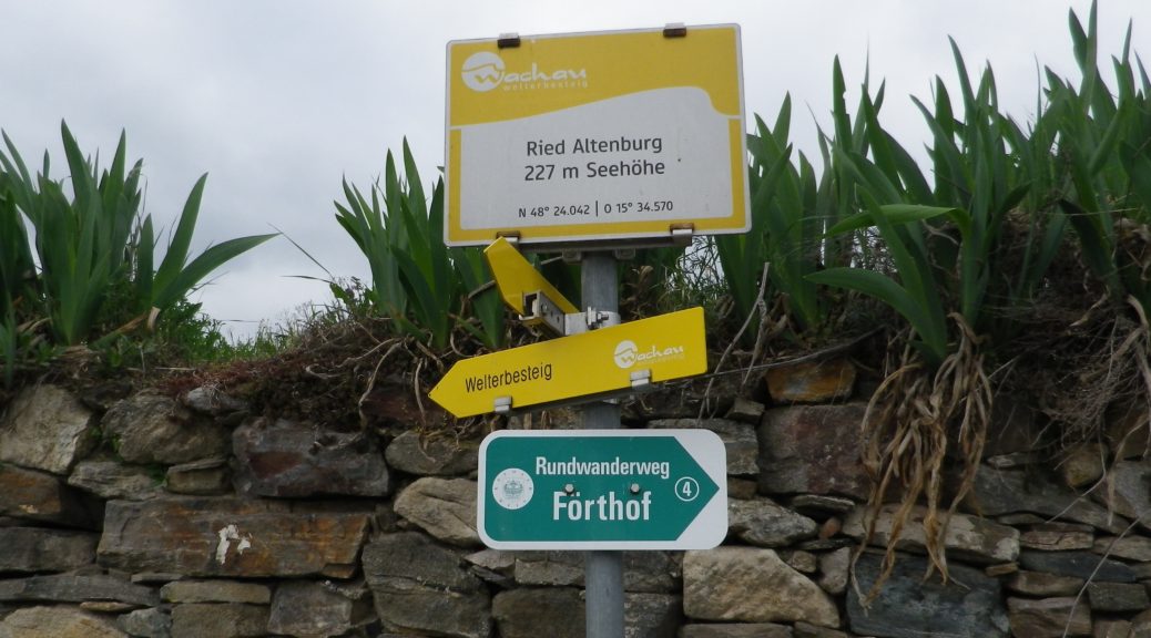
Marking: No trail-specific marking, although throughout this itinerary there are markings for other trails (to include the Welterbesteig signs, as shown below), and signposts (see the photo below) indicating named places and the “Welterbesteig Wachau” trail.

Trail Description:

An easy circuit through the village of Stein (part of Krems), and through the vineyards above the village, returning along the Danube. It focuses both on the village’s long-established viticultural traditions, and the vineyards that made it all possible.

Trailhead:

Stein an der Donau: Steinerkellergasse x Doktor-Karl-Dorrek-Strasse

Parking:

Krems/Stein:

Along Steiner Donaulaende, there are many parking spots, but on weekdays and summers, all likely will be taken; On Steiner Donaulaende, by Gottweigerhofgasse, a small parking lot.

Parking Garages on Yachthafenstr and Steiner Landstr x Anibas Promenade

Stein/Foerthof: Along Route 3/Donau Bundestrasse, there are two or three small, unimproved parking areas along the Danube.

Public Transportation Options:

Bus: Post bus serves Stein an der Donau. Check www.postbus.at

Rail:

OBB services Krems, connecting with nearby towns, and Vienna

Wachaubahn provides seasonal service upriver from Krems to Grimsing, to include Stein, Loiben (Unter and Ober-), Duernstein, Weissenkirchen in der Donau, Spitz an der Donau and Willendorf

Suggested Stages: Not applicable

Trail Itinerary-Reference Points: (Counterclockwise)

Stein: Doktor-Karl-Dorrek-Str x Steinerkellergasse, Steinspreng (at signs for Tullner and Mariazellerweg Trails), Guetersweg Schreckberg, circle counterclockwise on the Schreckberg lanes, return to Steinspreng; Right on Steiner Kellergasse, over train tracks by tunnel; Reisperbachtalstr, stairs (with W), on an path to an unnamed, paved agricultural lane, first passing the ruins of Altenburg castle, then the Altenburg Weinbergkreuz (a crucifix of vine stocks), Pfaffenbergweg-Foerthofstr-Steiner Donaulaende-Steinerlandstr-Reisperbachtalstr-Hintere Fahrstr-Frauenberg, stairs (at the St Nikolaus church) down to Steiner Landstr

Representative Trail Photos:

Trail Surface in Vineyards


Restrooms:

None observed

Attractions on or near Trail:

Lining the Steiner Kellergasse are many nicely maintained wine cellars, some of which are still in use as such!

Tasting along the Trail:

There are several “Heuriger” (seasonal wine taverns), along the trail, and numerous taverns, bars and restaurants in town.

Alternative Options:

Walking: The Welterbesteig Wachau trail begins in Krems proper, and continues upriver to Melk (the famous abbey) on the high route along the Danube and sometimes inland through the vineyards and villages along the way. From Melk, it continues downriver back to Krems for a total of 180 kilometers. See the Nutshell here.

Additional Information:

Regional: https://www.krems.info/de/home/

Trail specific: None

Comments:

I adapted this circuit from one suggested by a local hiker, hence no definitive markings, or references to it online or in town literature. Therefore, there is no trail specific signage, although this itinerary does follow a section of the Welterbesteig Wachau trail leading from Resiperbachtal Strasse to Pfaffenbergweg, and then the two itineraries diverge at Foerthof

To extend the hike slightly, follow the Welterbesteig Wachau upriver along the Pfaffenbergweg, to the border between the Kremstal and Wachau appellations. To close the circuit, head downhill to the hamlet of Rothenhof and follow along footpath along the river paralleling the main road (B3) back to Foerthofstrasse. Continue the itinerary above from Fuerthof.