Tag Archives: Kappelrodeck

A Good Witch


Kappelrodeck’s witch is a good one, IMHO. She brings happiness and casts an enchanting spell over the little town and its surroundings. Her spell succeeds in charming and beguiling all who make their way through the relatively narrow pass climbing along the Acher valley at the foot of the Black Forest Mountain range.

Certainly, the landscape bewitches with its fascinating geology and natural beauty! Hills mound about like lumps on the landscape. Most of their slopes contain vines. These face the sun at different times of the day. The sun, along with the rain (and snow in the winter), make these incredibly green. The tops of the hills are often covered with pines: Tall, dark and majestic. Behind them the Black Forest begins.
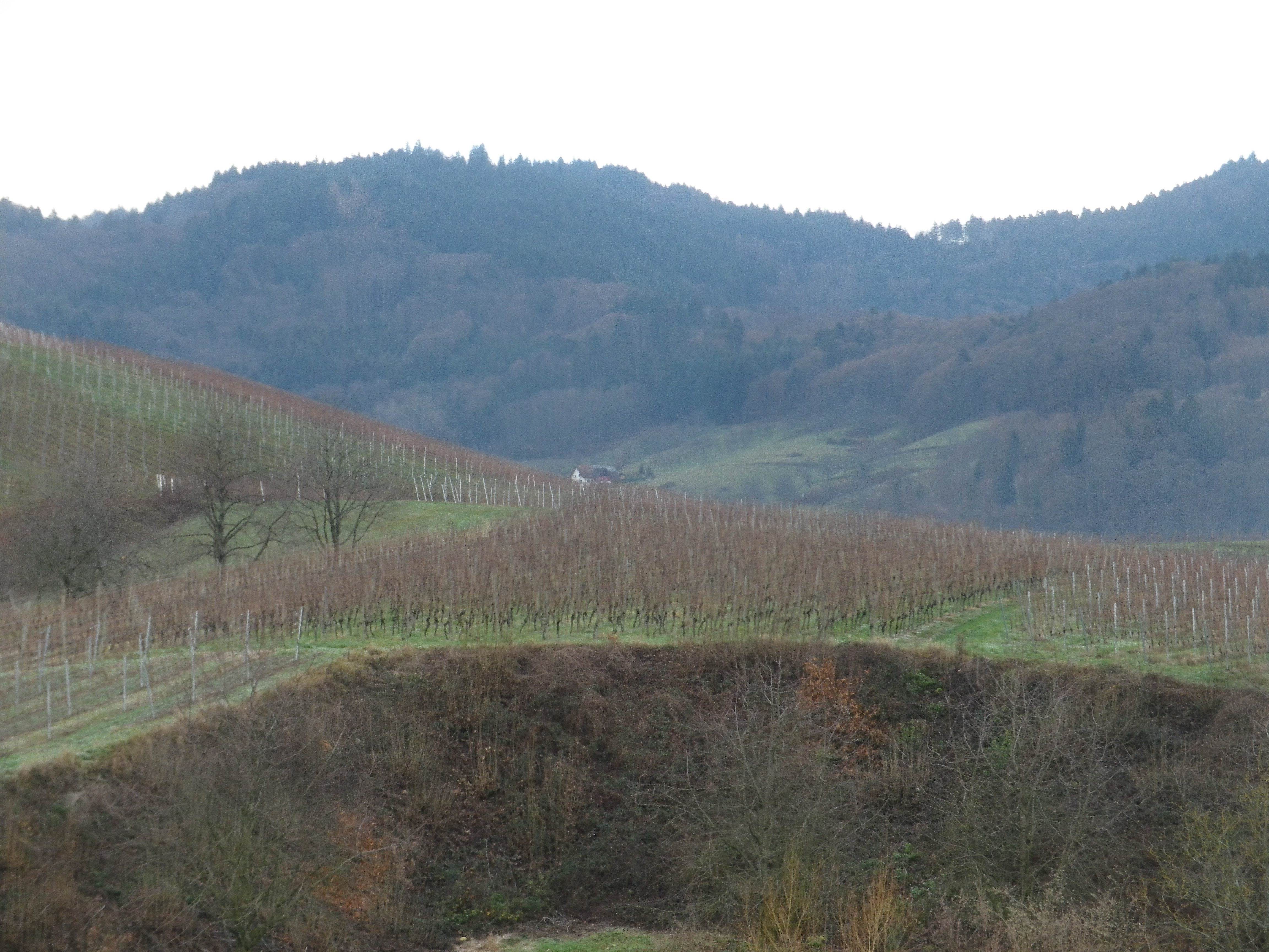
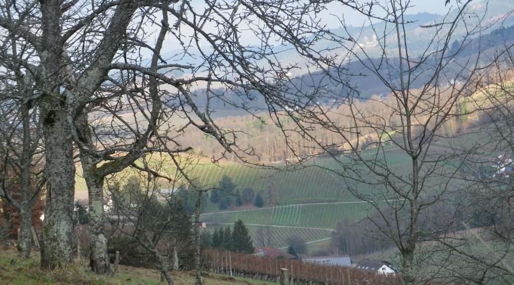
Vines Against the Black Forest Pines

Continue reading A Good Witch

Wine Notes: Ortenau’s Kappelrodeck


What I Learned:

Certainly one of the most fascinating vineyard areas in Baden’s Ortenau wine district, the area around Kappelrodeck and Waldulm stands out as topographically impressive for growing grapes in a never-to-be-forgotten mixture of hill and dale.

Slopes are steep. Hills cluster close together. The profile of the hills resembles a grape cluster lying on the ground: round mounds intersected by narrow dales. This topography is ideal as far as the vines’ exposition to the sun goes. Being steep, rainwater drains well away from the vines. Additionally, the area lies in a valley sheltered by higher ridgelines to the north, south, and east. As a result, even though this area of Germany has its share of foggy or overcast, even rainy, days, when the sun shines, each grape stands a good chance of getting some decent exposure to its warming and ripening rays.

Continue reading Wine Notes: Ortenau’s Kappelrodeck

Durch Die Weinberge: Trail in a Nutshell


Trail Name: Kappelrodeck – Durch die Weinberge (Through the Vineyards)

Trail Type: A mid-distance circuit itinerary; well-maintained, and on mostly paved or even, hard-packed surfaces; marking on the trail is directional to the next itinerary point and not specific or exclusive to this itinerary.

Length:

Total – 10 kilometers/6 miles

Convenient to: Baden-Baden or Karlsruhe, Germany

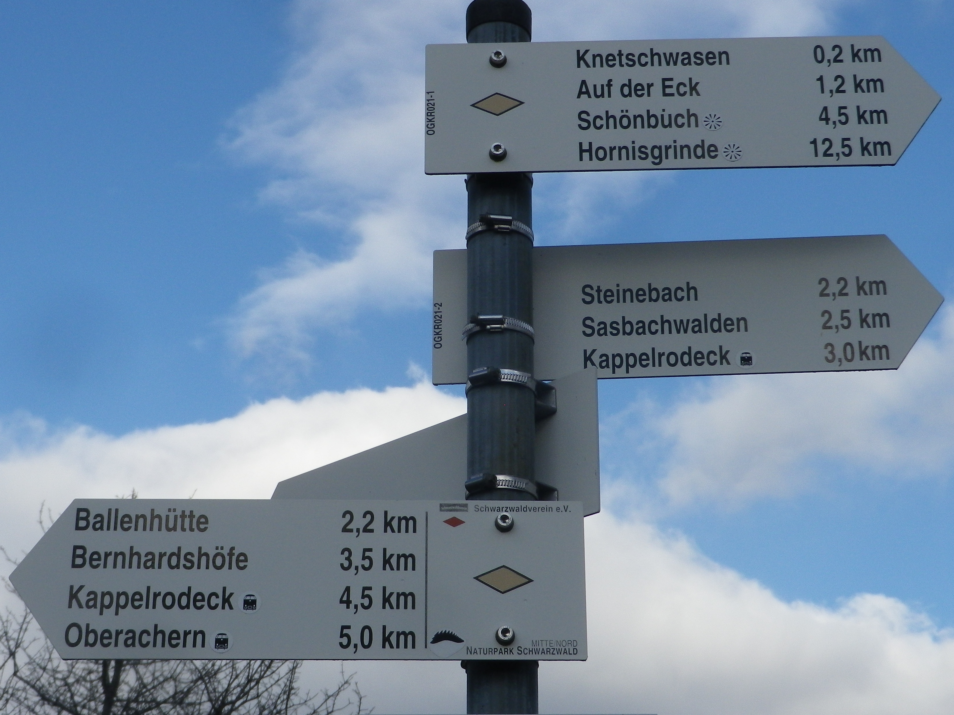
Marking: None specific to the trail, but a series of sign posts will indicate the way to the next one along the itinerary (See itinerary below).

Weinberge Itinerary Signage

Continue reading Durch Die Weinberge: Trail in a Nutshell