Tag Archives: Hiking Switzerland vineyard trails
Gallery April 2018
Alpine Rhine Vines
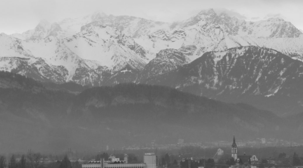
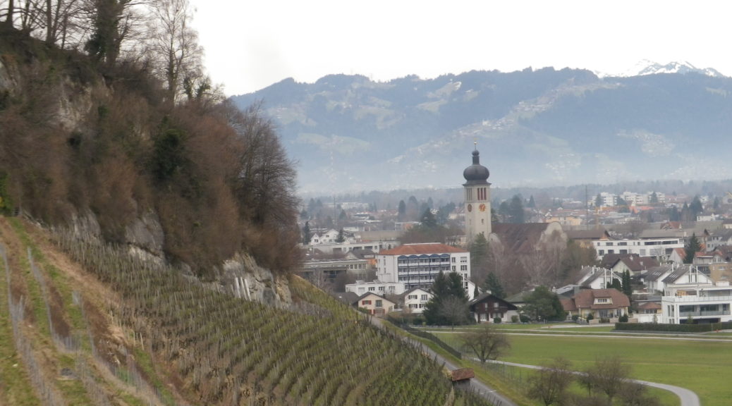
The Rhine River valley has vineyards on both sides along much of its length. In four countries, (five, if you include a mere 30 acres in the Vorarlberg region of Austria), vineyards cover select slopes of various geologies and topographies. Five sections of the Rhine have vines: The Alpine, the High, the Upper, the Middle and the Lower. The Alpine Rhine, from Reichenau to Lake Constance, mostly flows through a mostly wide valley lined by Alps on either side. The Graubunden Canton north of Chur, the tiny country of Liechtenstein, and the Sankt Gallen Canton, all have vineyards on the slopes facing onto this section of the Rhine. Since I had already visited some of those vineyards on a hike in the Graubunden Canton, (see here) I decided to visit the Sankt Gallen Canton to see some of their vineyards, and to learn about some of their wines.
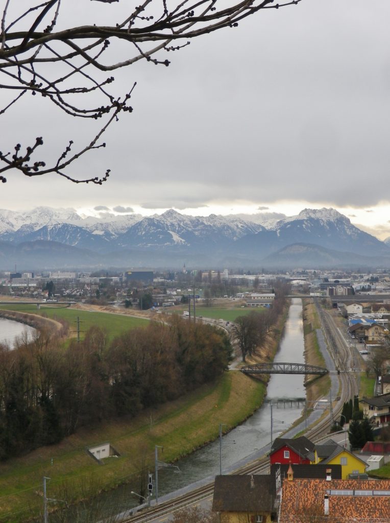
Monsteiner Rebweg: Trail in a Nutshell
Trail Name: Monsteiner Rebweg
Trail Type: A short distance circuit; well-maintained, partly paved, with stairs in places, good marking on the trail.
Length:
Original – 4.8 kilometers/ miles
Extension – 6.4 kilometers/ miles
Convenient to: Bregenz, Austria
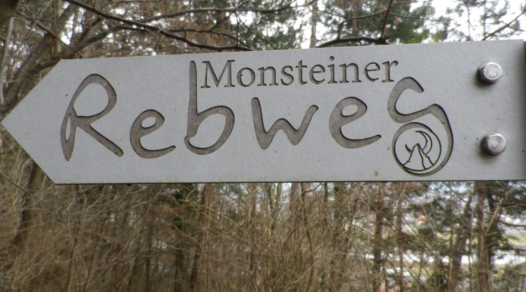
Marking: Signs with the words “Monsteiner Rebweg”. See the photo above.
Hiking Aargau Vineyards
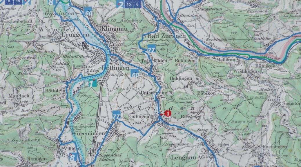
Almost equidistant between Basel and Zurich, the little town of Klingnau came to my attention as the end point of a wine trail in the Aargau region. As a region, this small canton offers wine enthusiasts a surprising diversity. In addition to some good, and even some unique wines, wine culture is celebrated through festivals and learning opportunities such as wine education trails and museums.
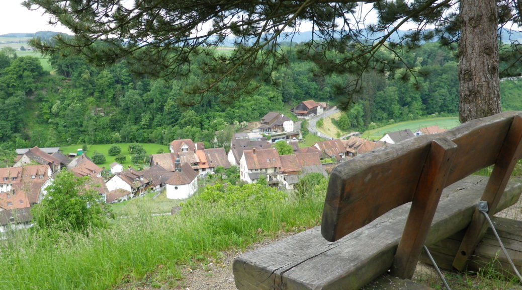
Klingnau falls within the Upper Aargau sub-region of the Aargau wine region. Like much of the rest of the Aargau, this region lies along the Aare River. However, the hiking route began in the rolling hills to the east of the river. Because of the hilly terrain and the ample, green leaf cover this time of year, the river remained hidden from view for most of the hike. Consequently, to reach the river-side village of Klingnau, and the end of the hike, the trail covered a variety of landscapes, and several gentle ascents and descents along the way.
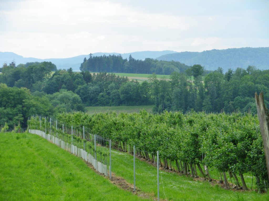
Wein Wanderweg: Trail in a Nutshell
Trail Name: Wein Wanderweg
Trail Type: Mid-distance; almost exclusively paved or hard-packed surface, well maintained, well-marked route.
Length: total – 11 kilometers/ 6.8 miles
Convenient to: Waldshut, Germany
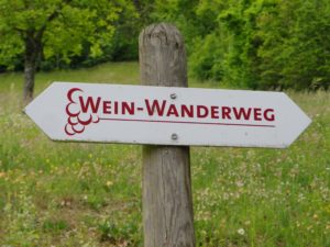
Marking: White rectangle with red letters: “Wein Wanderweg”
