Tag Archives: hiking German vineyard trails

The Hike That Wasn’t


This may be the shortest post on record. Minutes away from Weimar, I gave a mighty tug on my luggage, stubbornly stuck under the train seat, only to have my knee, not my backpack, give way. Going down, using an old Anglo-Saxon cognate that caught the attention of the many modern-day German-speaking passengers, they graciously helped me off the train at the station. Months preparing for this two-day hike, hours of travel from Frankfurt, and in the end, no hike.

Fortunately, a friend and I had planned to meet at the station in Weimar, and he had a rental car. So off we went to Naumburg, just over the Thuringian border, in Saxony-Anhalt. Naumburg is a lovely old town with a spectacular medieval cathedral, (housing Disney’s Snow White evil stepmother look-alike – judge for yourself, below), and site of the trailhead for the Saale Weinwanderweg.

Uta of Ballenstedt


The trail commemorates the Saale-Unstrut wine region in Germany. It is one of two wine regions in eastern Germany, and the one with the northern most vineyards in Germany. These vineyards lie mostly on the south-facing hills and river banks lining the Unstrut and the Saale rivers (not to be confused with the Fraenkische Saale river, further south). Hence this trail partly follows along these two rivers. And the trailhead is located not far from where the two rivers meet, just outside Naumburg.
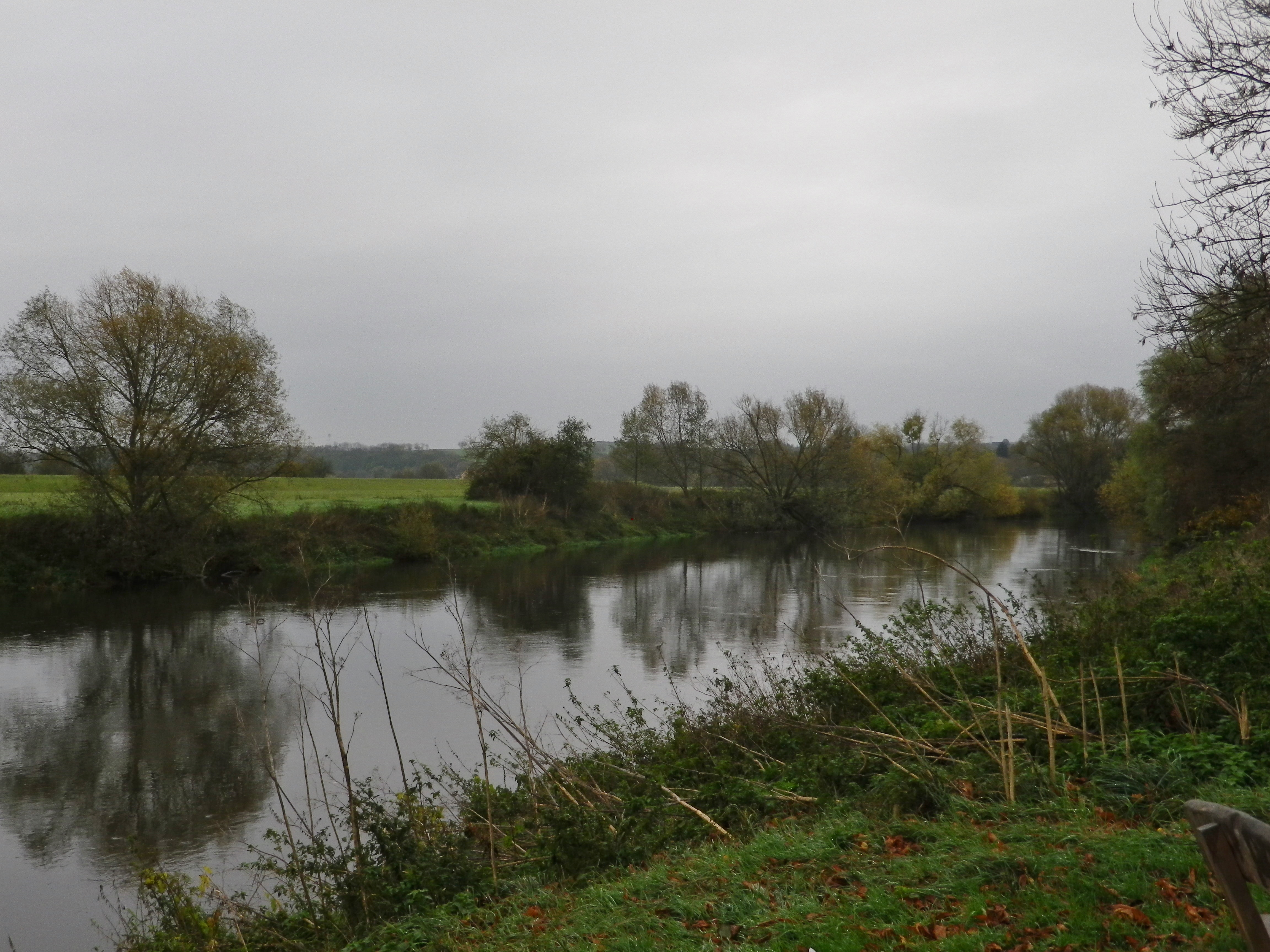
Along the Saale


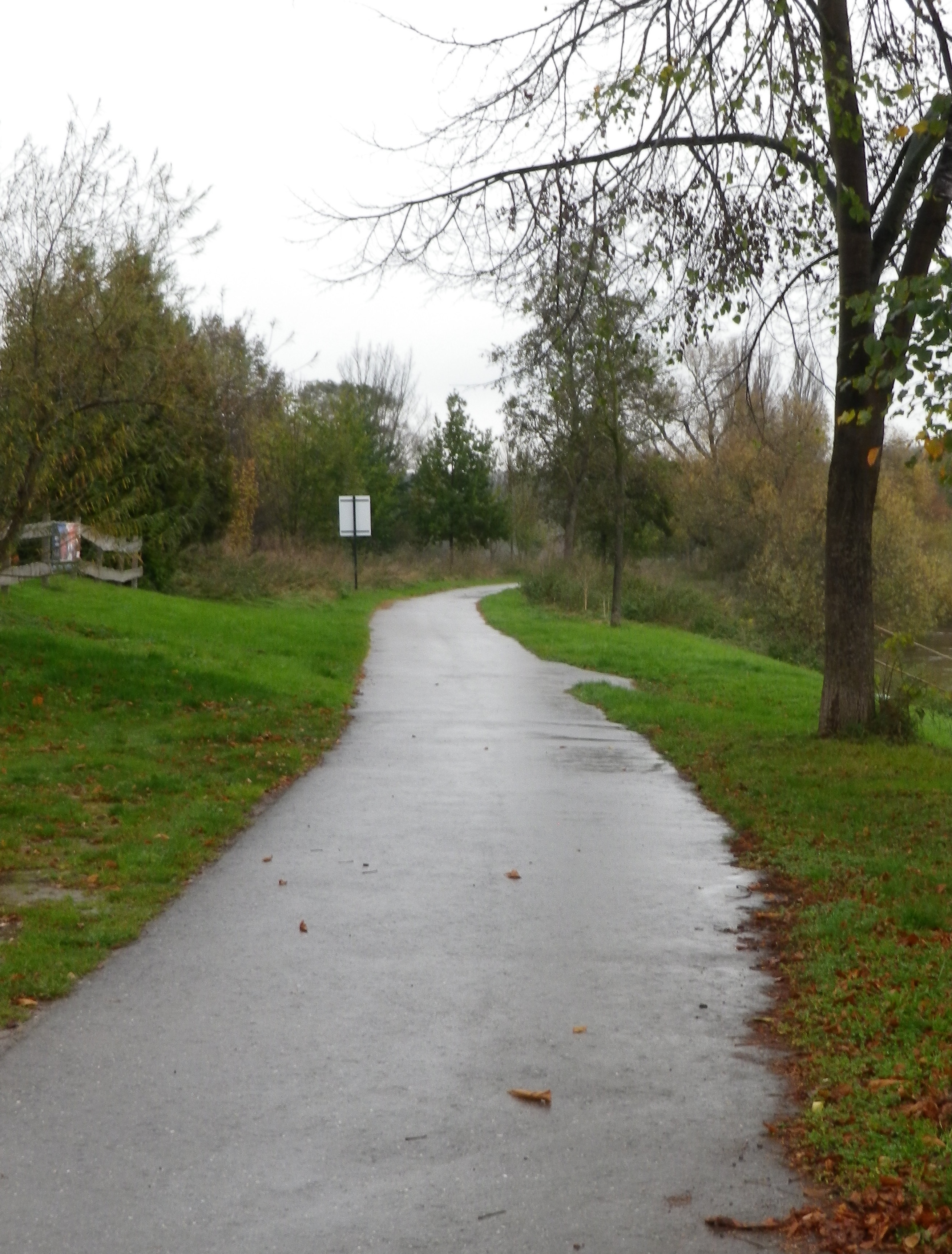
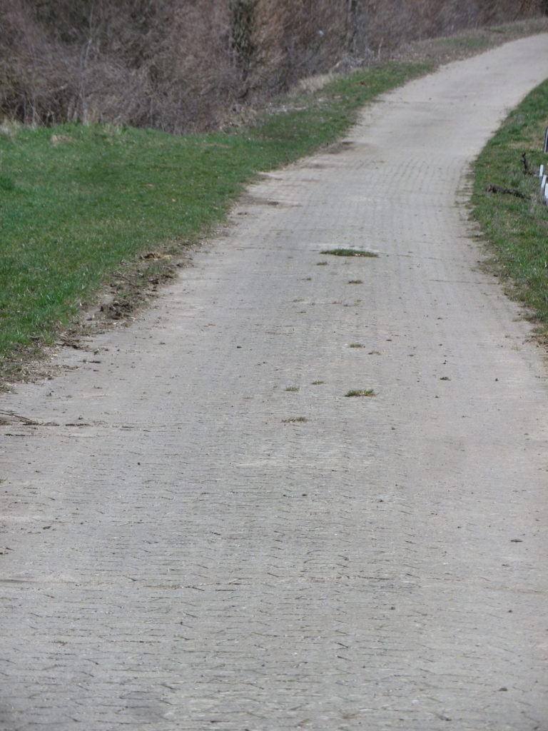
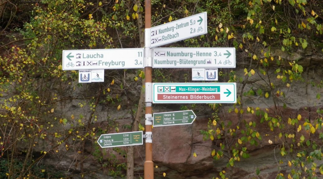
My friend, there to tour historical sites and peruse antique porcelain, graciously agreed to shuttle me to a series of points on the trail, accessible by car, where I could hop out, literally, to take photos. First stop, the trailhead. As evident by the photo below, this part of the trail is also a bicycle path, as were the subsequent sections I saw.  It appeared that much of this trail could be biked, with a hybrid or mountain bike, from the looks of the sections I could reach. One caveat though, there are two sections higher up the hillsides, and through woods, that are probably a bit rougher, possibly suitable only for hiking. (There are cycling path alternatives though.)
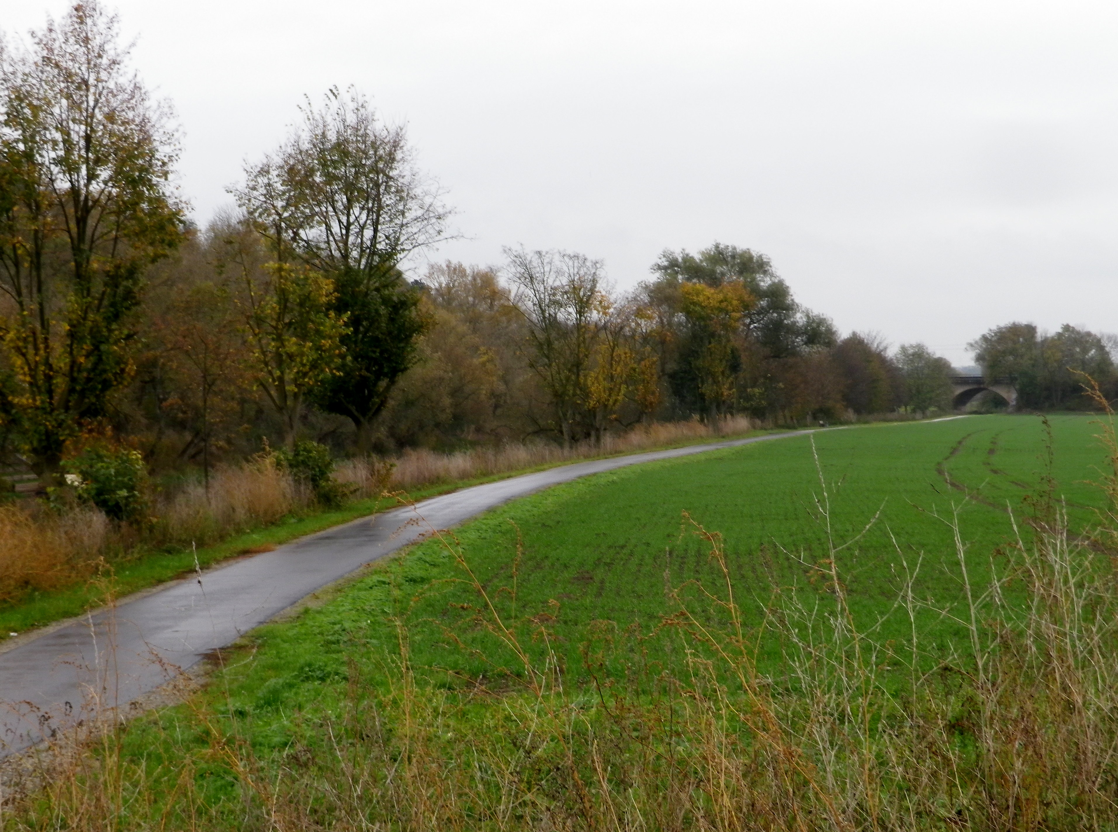
Sample of Trail by Naumburg-Henne


Another nice feature of this trail is the fact that it passes through some of the wine villages and towns in this region. The largest town in the area, Naumburg, has a nicely maintained historic district. It, and the cathedral, are worth a visit. Then there were a couple of villages. Kleinjena, opposite Grossjena on the Unstrut, comes next on the itinerary. Rossbach is a bit beyond Kleinjena. A settlement appropriately named Weinberge “vineyards”, follows, with its collections of vines suspended on the banks facing the Saale. Wine loving hikers will find several small, family run wineries along this sector of the trail.
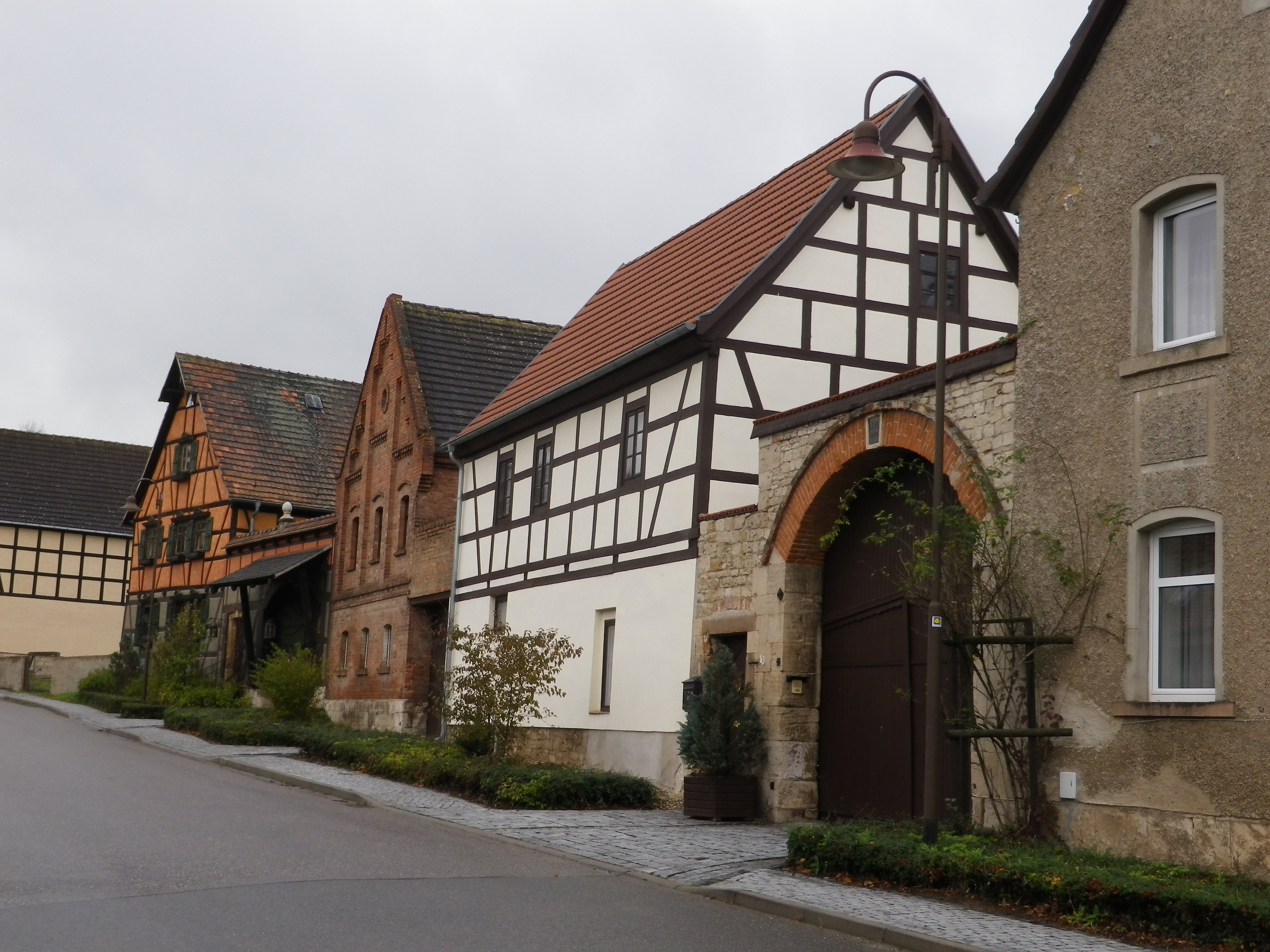
Kleinjena: Main Street


Before reaching Bad Koesen, Kloster Pforta appears on the trail. This old monastery building is now one of the largest local wineries. Its Saalhaeuser vineyard rise above it, and the river passes in front of it. The winery has a cozy a wine tavern collocated with it. Its little terrace looks out over the river, and on a nice day, would be ideal for sipping a glass or two of its wines. (The other large winery, the Naumburger Wein und Sekt Manufaktur, is in fact a still and sparkling wine firm located on the trail a bit further upriver in Henne-Naumburg.)
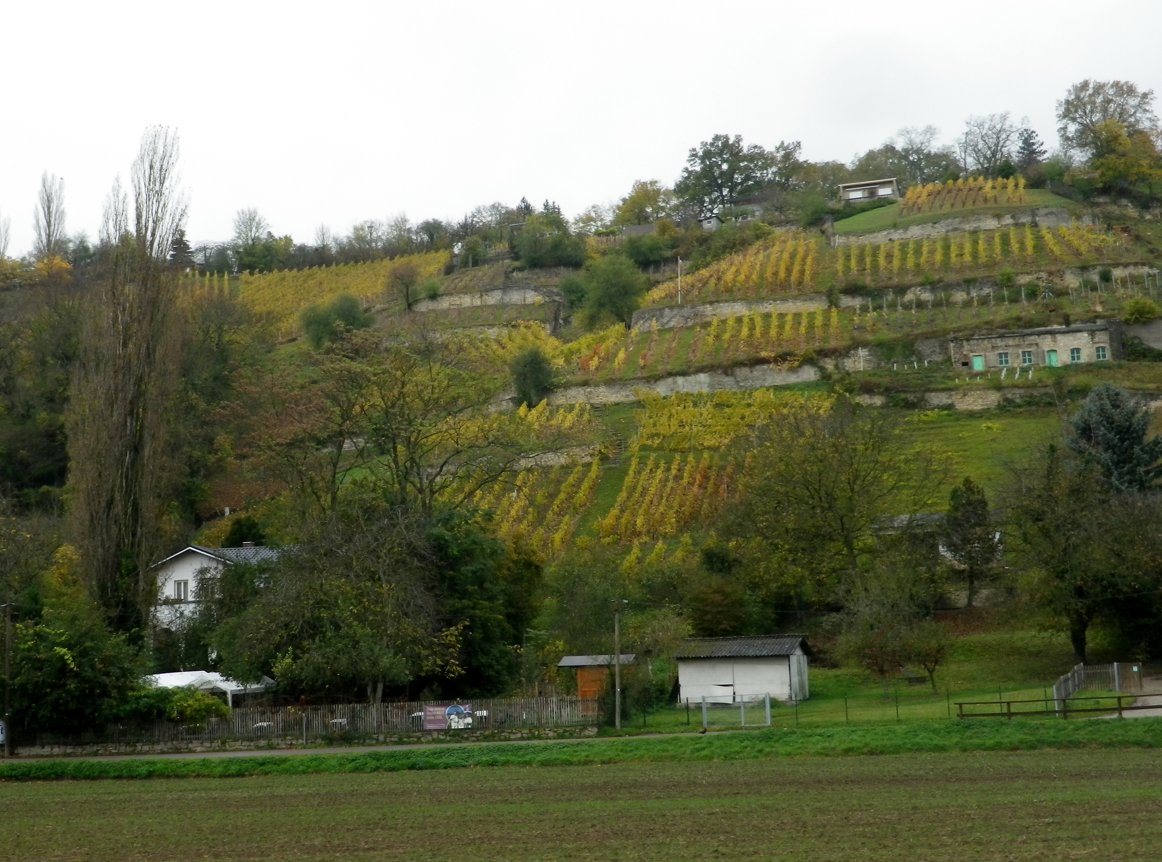
Vineyards by Nussbach


The trail returns to Naumburg via the bridge crossing at Bad Koesen. It is a small spa town on the Saale, to the west of Naumburg.  In addition to being a spa town, with all the amenities found in any German spa town, there are several hiking trails in that district, and a least a couple of these focus on the vineyards. At the edge of Bad Koesen lies Schulpforte, formerly a Cistercian monastery dating to the twelfth century. (These were the monks who founded the original winery now found at the Kloster Pforta mentioned above.) After the abbey’s dissolution, the Duke of Saxony founded a school on the property. The impressive complex backs onto the side of a forested hill. The trail continues up that hill and through a forest for about two kilometers, back to Naumburg. (This was the part I could not hobble to, so I can’t write about the trail conditions.)
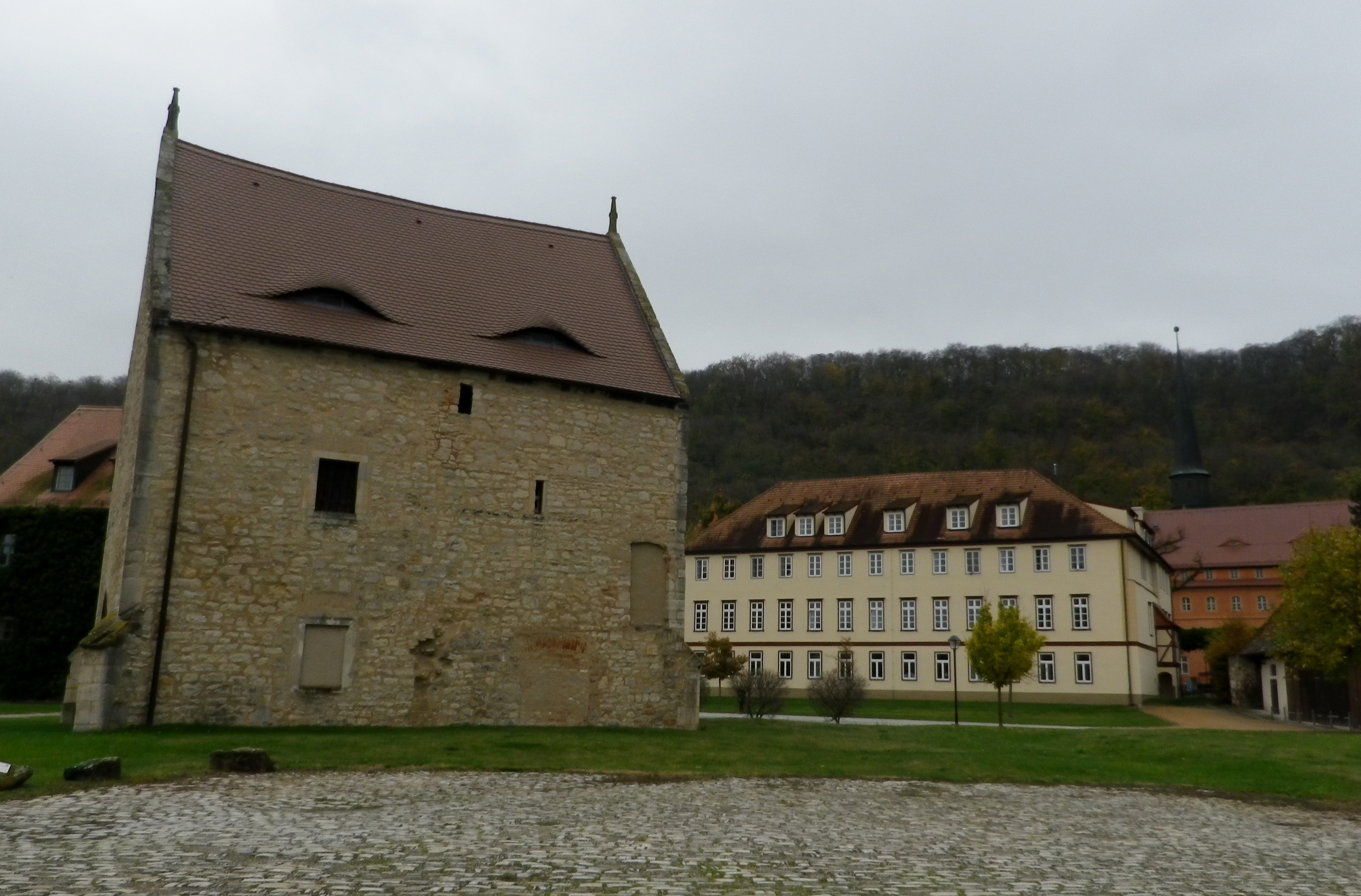
Schulpforta


I completed my photo reconnaissance of this trail in less than an hour, vice two days. Thus, I had time to visit Colditz, and get lunch in a wine tavern. Over the rest of the day, and the next, I had opportunities to sample some Saale-Unstrut wines, and finalize plans to return some day to hike in the area, and taste more wines.
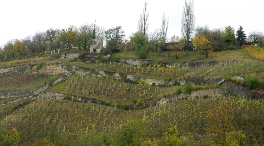


Saale Weinwanderweg: Trail in a Nutshell


Trail Name:  Saale Weinwanderweg

Trail Type: Mid-distance circuit hiking trail; well-maintained and mostly smooth surfaces, much of it paved, but no trail-specific marking on the trail

Length:

Total – 25 kilometers/15.5 miles

Convenient to: Leipzig, Germany

Marking:

No trail-specific marking

Trail Description: A very easy, if not a bit long trail, with only one ascent of any challenge, through the largely isolated vineyard areas between Naumburg and Bad Koesen, and those two urban centers. While the scenery is less spectacular than other trails, the attraction here is found in the quiet and very laid-back countryside of this little-known wine region of northern Germany.

Trailhead: Marienring x Hallesche Str, Naumburg, Saxony-Anhalt, Germany

Parking:

Naumburg (just before the river crossing to Henne): a medium sized unimproved lot

Grossjena: K233x Wasserstr, just after the bridge, a small unimproved lot

Bad Koesen: by the sports field at the trailhead, at the end of Hallesche Strasse

Public Transportation Options:

Rail: DB (DeutscheBahn) regional trains serve this area, and the nearest, and undoubtedly largest, hub for services in the county is Leipzig.

Bus: PVG Burgenlandkreis serves the area with a combination of tram and bus lines. Check the website for details.

Suggested Stages: Not applicable

Trail Itinerary-Reference Points: (Counterclockwise)

Naumburg:, Hallesche Str-Hallesche Anger, along the Saale, over river on Hallesche Str; Henne: past the Naumburg Wein und Sekt Manufaktur, road turns to path; Along Bluetengrund toward Grossjena; Cross Unstrut after 500 meters passing the Max Klinger Museum entrance; Kleinjena: Friedrich-Schulze Strasse, Unter den Reussen, path; Rossbach: Pass St Elizabeth church, Am Leihdenberg, Am Meisel, Trift, Weinberge; Pass the Steinmeister vineyards, Pass the Besenwirtschaft Dierking, Along Saale on Weinberge-Saaleberge, Pass Klosterpforta; Bad Koesen: Saalstr, cross the bridge, Naumbergerstr/B87, An der Kleinen Saale; Schulpforte; woods, Panoramaweg, Koesener Str, Michaelisstr, Lindenring, Herrenstr, pass the town hall on the main square, Marienstr.

Representative Trail Photos:

Section of Hike and Bike Surface


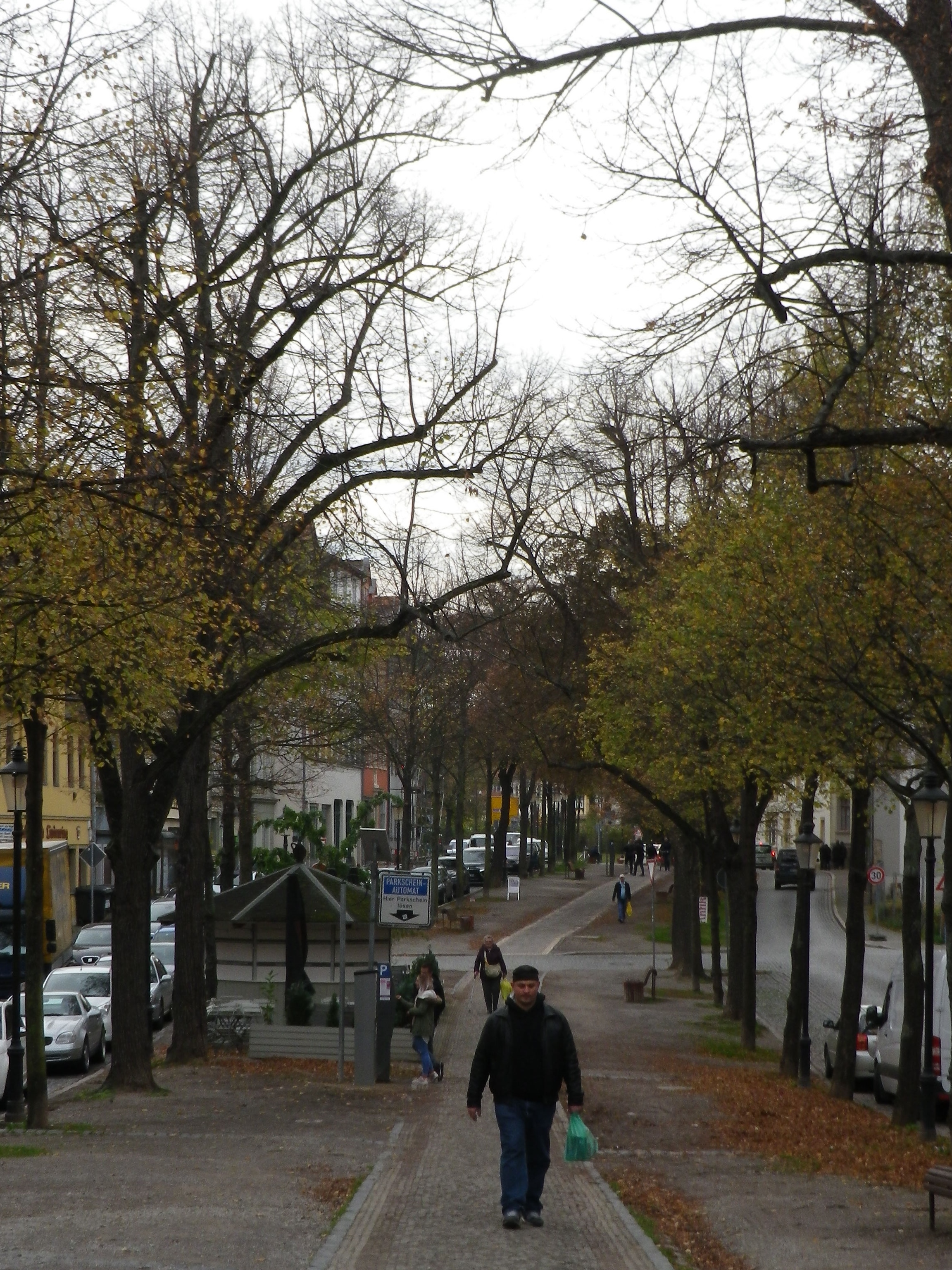
Trail Section Through Naumburg


Restrooms:

No public ones observed

Attractions on or near Trail:

Max Klinger Museum, just outside Grossjena, dedicated to a well-known local artist, who also had his own vineyards on the grounds.

The local wine museum is located between Grossjena and Freyburg, in Schloss Neuenburg, a mile or so off the trail.

Tasting along the Trail:

Trail boasts numerous vintner establishments along the way, but the Wein und Sekt Manufaktur in Naumburg-Henne, Kloster Pforta, Schulpforte, and the wineries between Rossbach and Bad Koesen, are your best opportunities to purchase bottles.

Alternative Options:

Hiking:

-Weinlehrpfad Saale-Unstrut, a 12-kilometer (7.4 mile) trail along the vineyards on the Unstrut, starts in Laucha, and finishes by the bridge in Freyburg.

-Weinbergsweg, an 11-kilometer (6.8 mile) circuit around Bad Koesen, some of which is on the Saale Weinwanderweg.

Biking: The long-distance Saale Radweg, while not wine-themed, passes many of the wineries mentioned above, and is used by this hiking trail in part.

Additional Information:

Regional:

http://www.weinregion-saale-unstrut.de/ for wine tourism information concerning this wine region

https://www.saale-unstrut-tourismus.de/ for tourism in general in the Burgenland Kreis county

Trail specific: https://www.outdooractive.com/de/route/wanderung/saale-unstrut/saale-weinwanderweg-ab-naumburg/1405756/#dm=1

Comments:

Due to a  knee injury, I did not hike this trail itinerary, so I cannot comment on the ascent or the wooded section of this trail between Bad Koesen and Naumburg.


Of Vineyards and Villages


Mankind is often hard pressed to improve upon nature. Humans leave an indelible mark on the natural world, and sometimes their efforts can enhance our experiences. In these cases, not just the natural landscape, but also the manmade landscape can appeal equally.

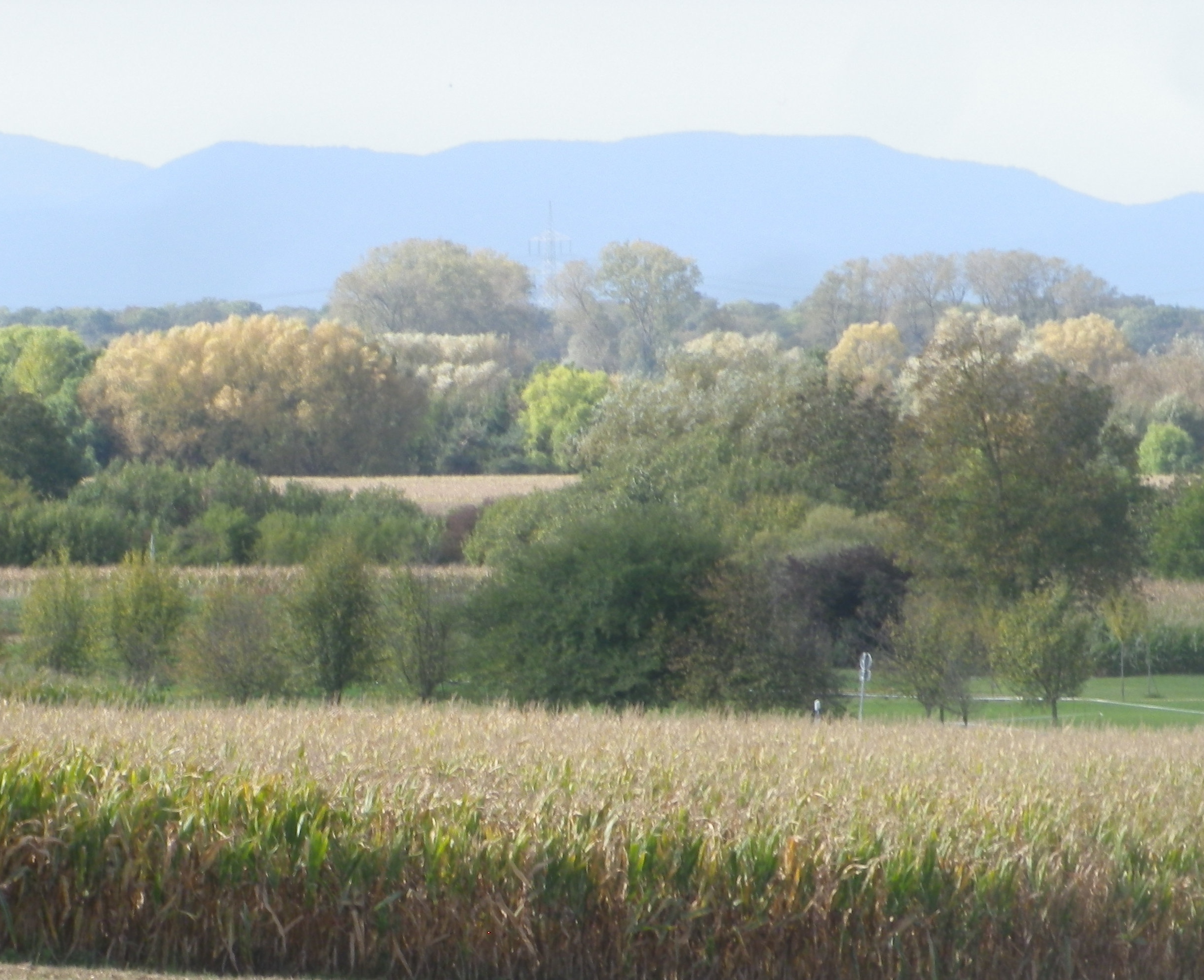
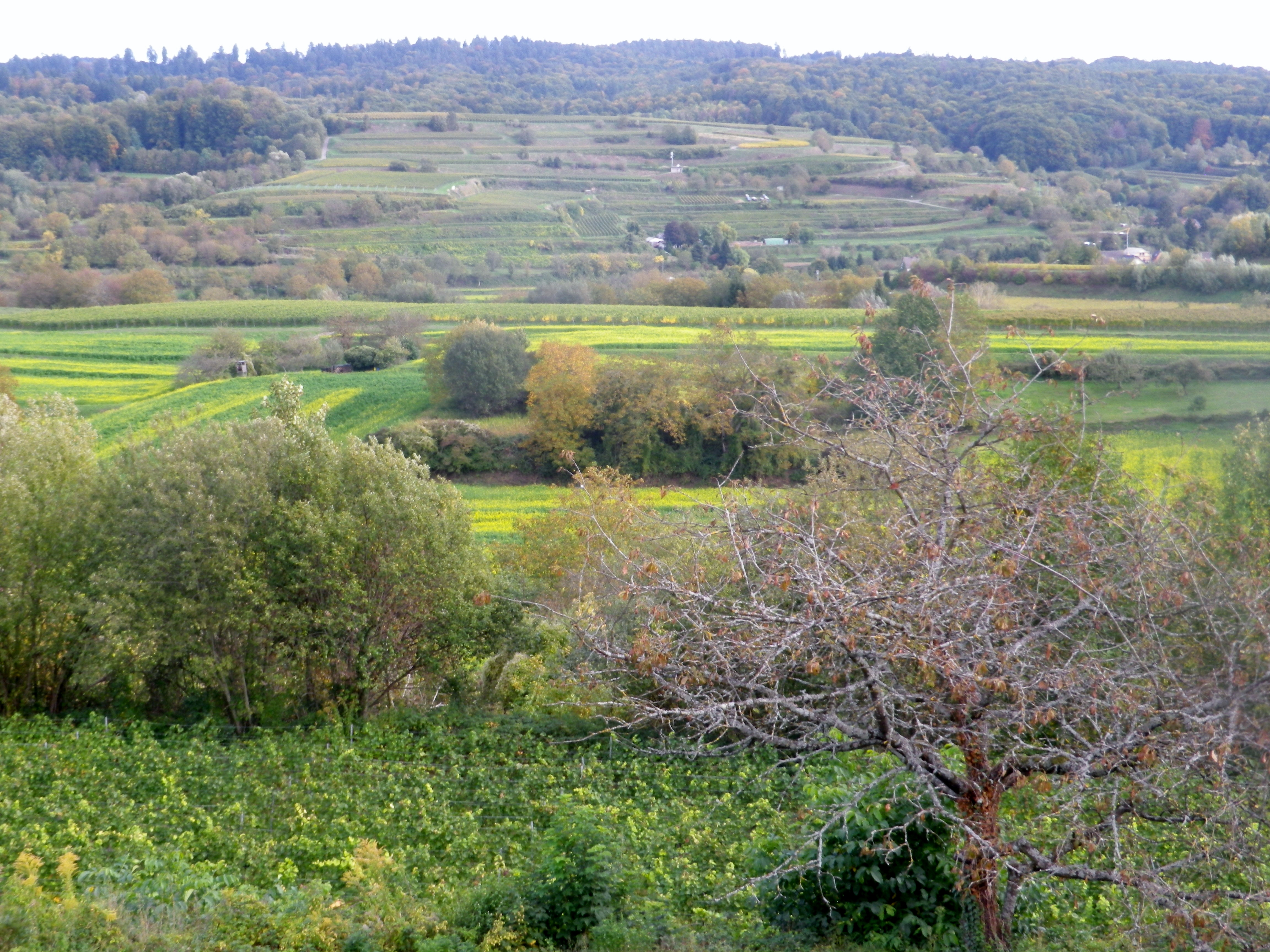
The Rebhisliweg itinerary focuses on manmade huts found in a beautiful, lush landscape. The circuit lies by Wagenstadt, in the Breisgau, a district of Baden. Topographically, layers of hills, some terraced, and ridgelines to the north, south and east devolve into the Black Forest, which appears as a mountain wall, capped by mixed forest vegetation. The dark greens of the fir trees, and the brilliant autumnal leaf colors add to the background. In the distant west, the majestic Vosges, turn from blue to purple as the evening approaches.

Violet Vosges and Yellow Leaves


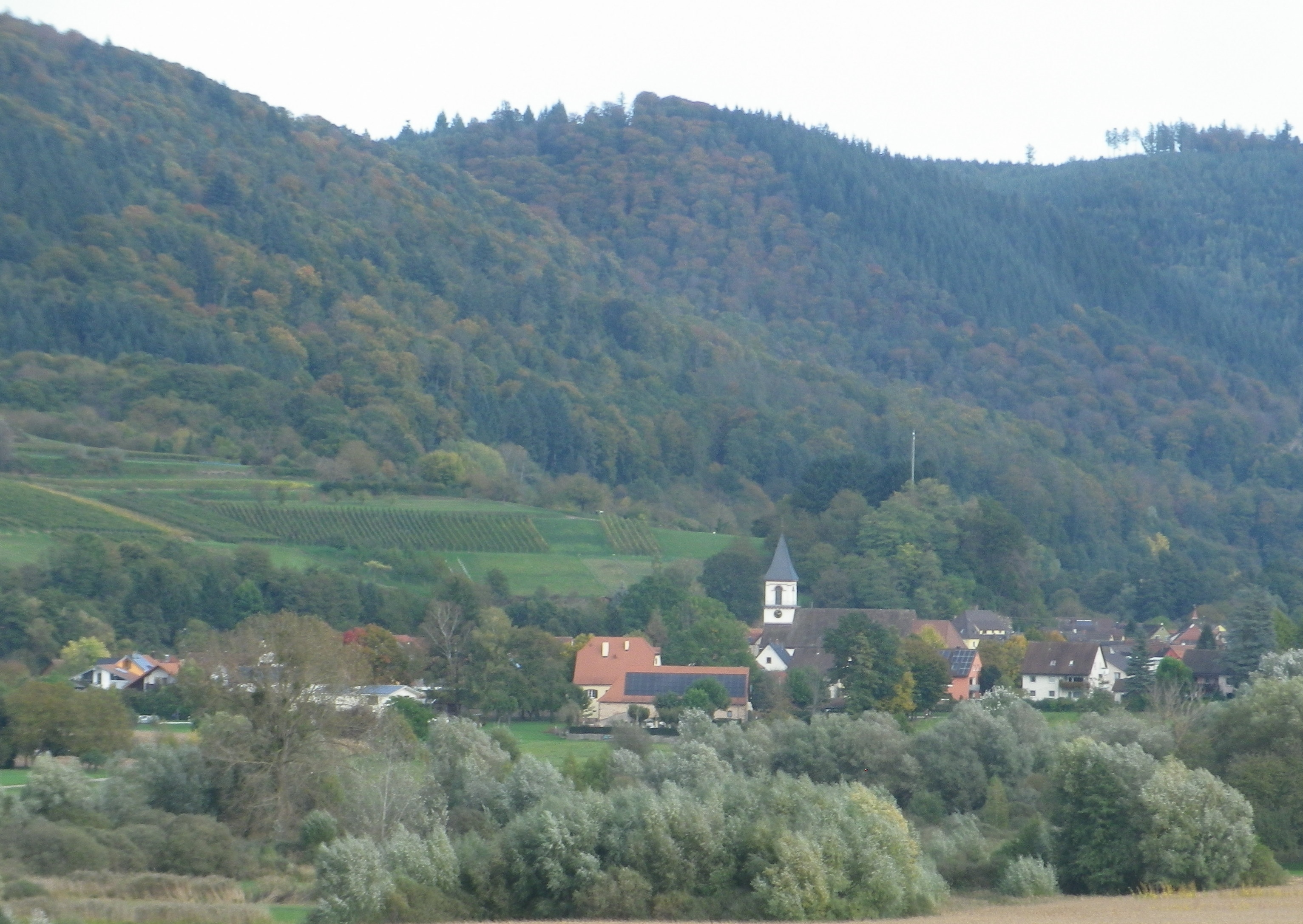
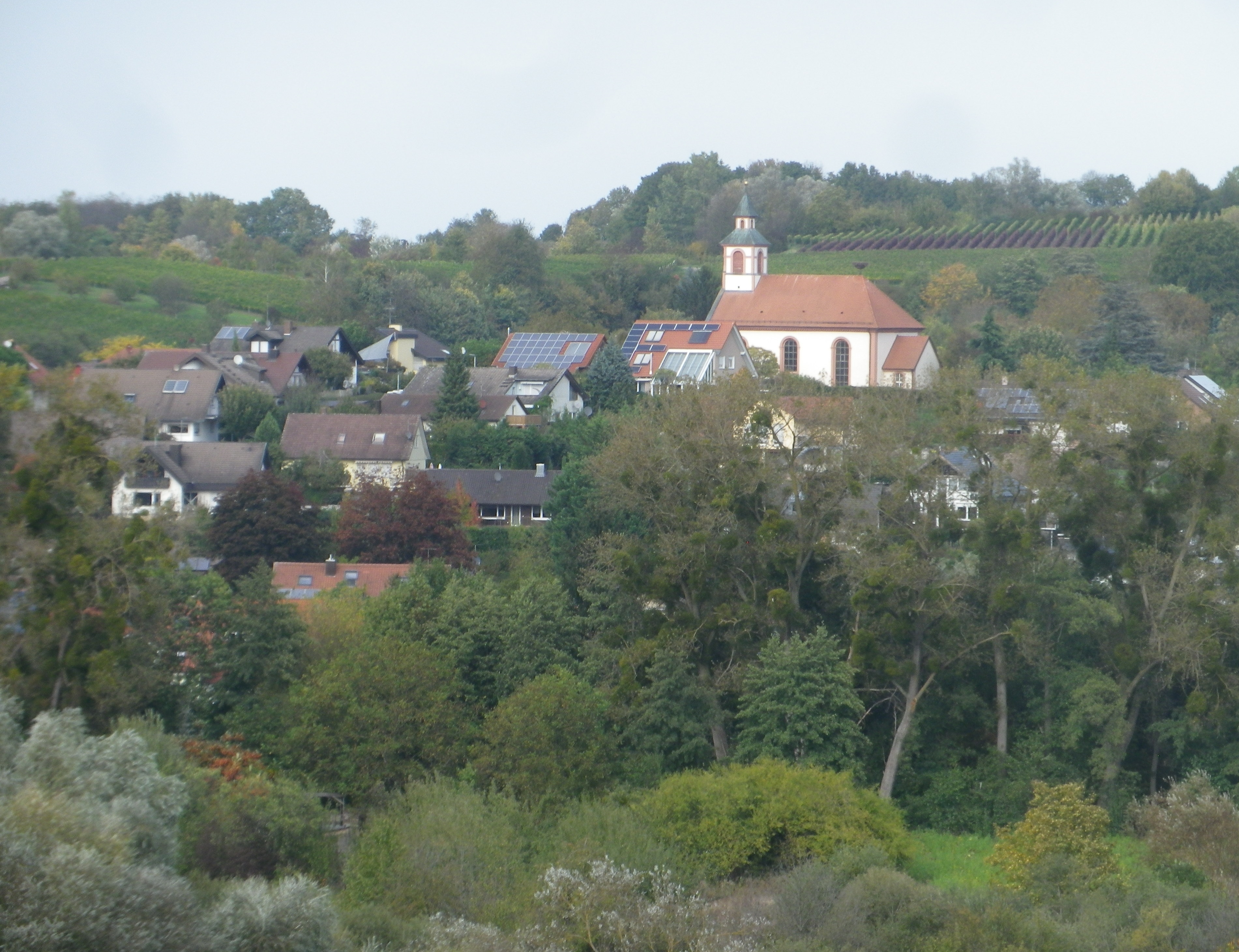
The nearby villages are compact gems, which harmonize, not distract, from nature. Set amongst vineyards, forests and fields, most buildings are only three stories at most. The red roofs set off nicely against nature’s greenery. The eye is drawn to, and then beyond, each village’s church steeple, or municipal bell tower. Each one distinct from the other, a sort of talisman for the inhabitants. The ridgelines ultimately dwarf them, but only because man’s construction draws the eye up, then away, onto that backdrop, thence to the mountain tops.  They serve to unite middle and distant vistas.

Bleichheim


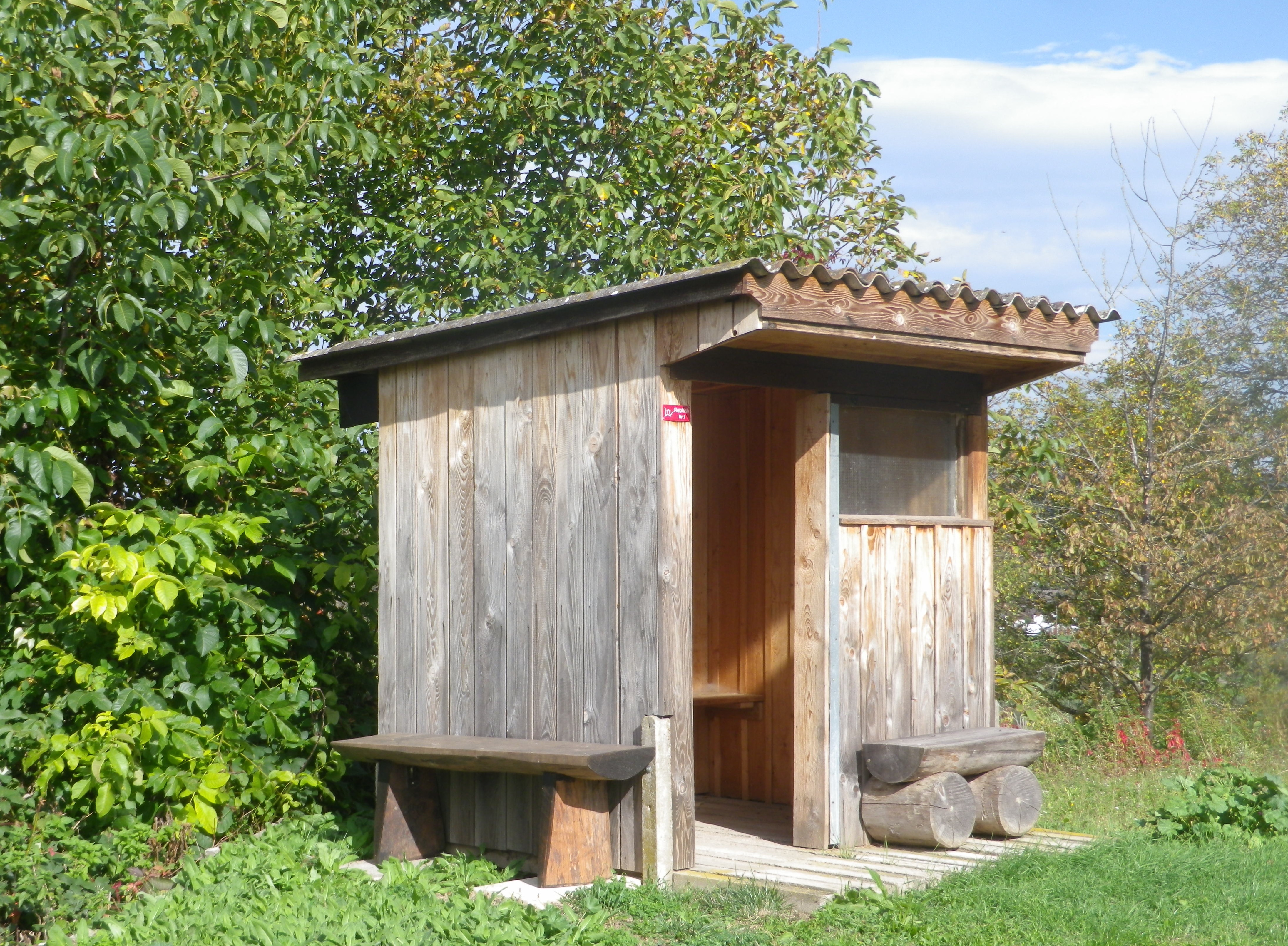
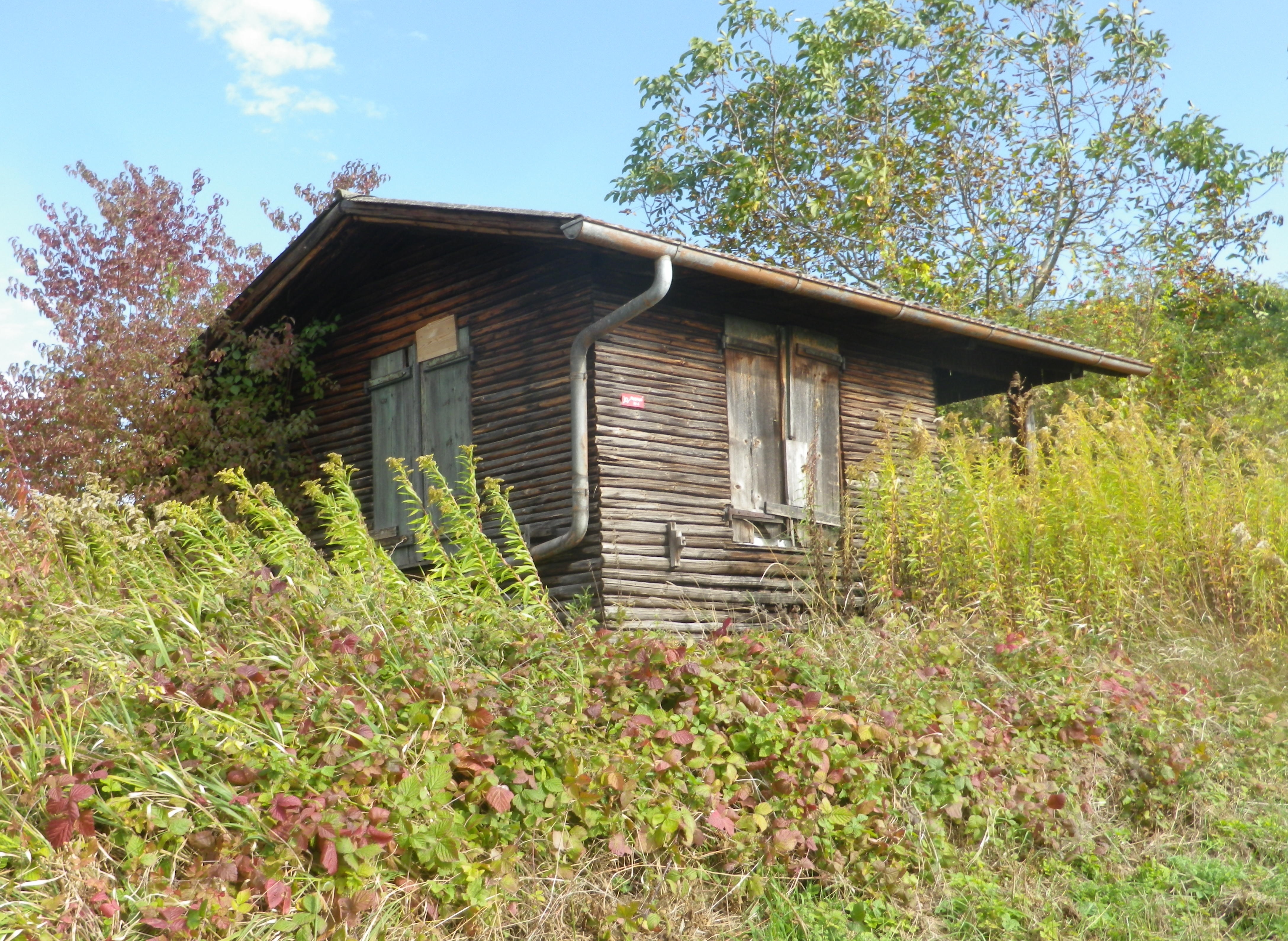
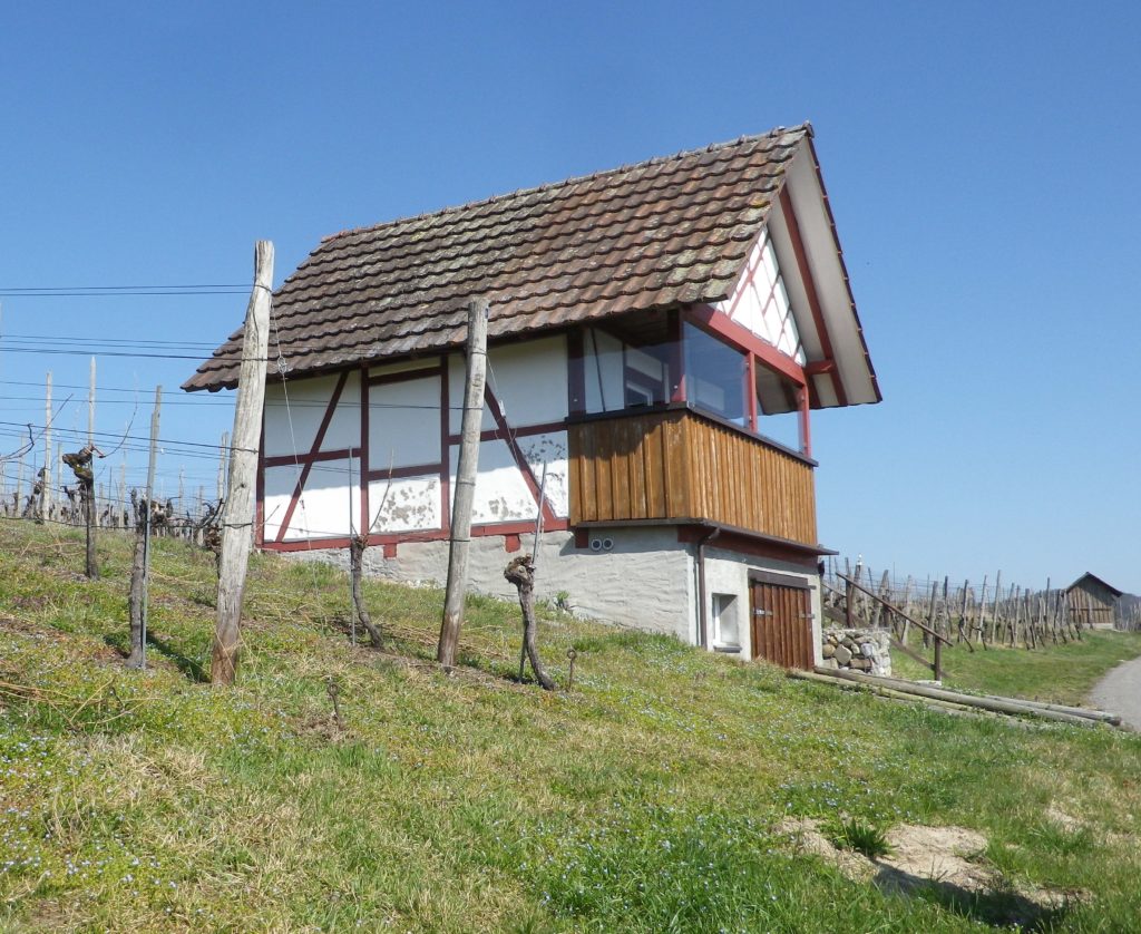
At eye level, the manicured vineyards, punctuated with fields, some farmed, others fallow or reclaimed by nature, and small huts. Known as Rebhisli in the old German Alemannic dialect, they are huts for those who work the vineyards. Whether sheltering the workers, or their tools, these vintner huts still exist in Germany. They provided the inspiration for this trail’s name and itinerary. The huts dot the landscape all along the trail. Some vintners still maintain certain huts, whereas nature is slowly reclaiming others. All are picturesque in their own ways, and are often offset against the magnificent landscape.

Now dedicated to Hikers!


As this hike left the village of Wagenstadt, it passed through fields before proceeding upward. As the vineyard terraces began, the air filled with the scent of crushed grapes, and fallen leaves. The harvest was mostly over, only the spaetlese or beerenauslese grapes remained, the grape leaves turning yellow.

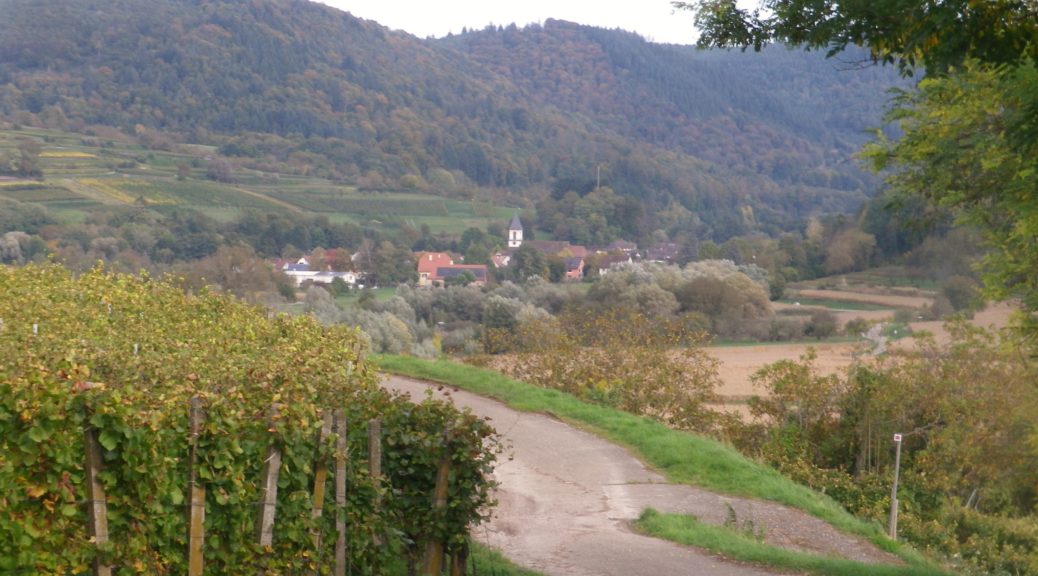
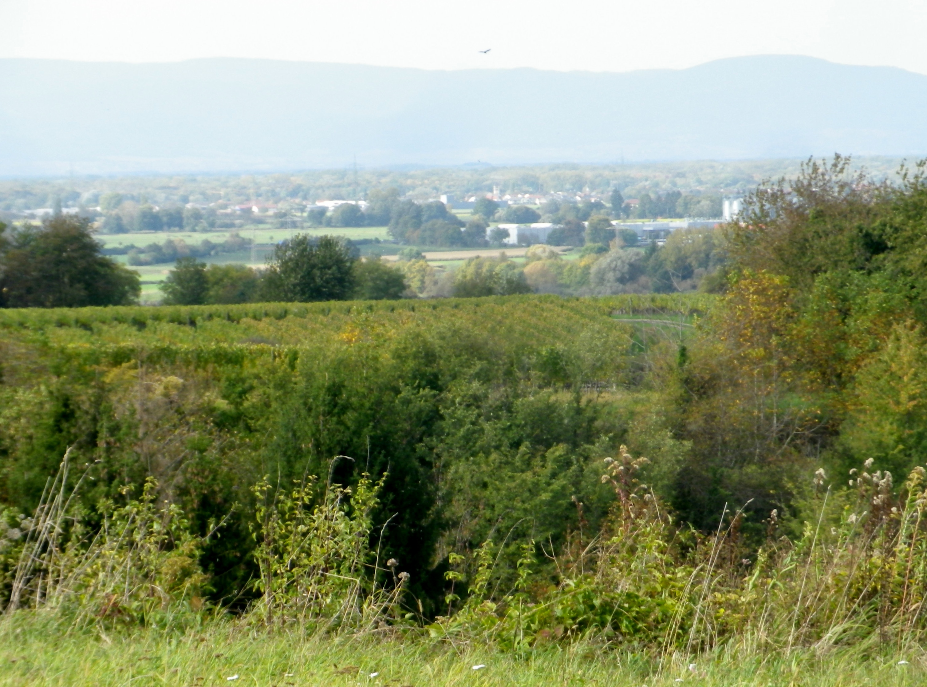
Vineyards and Villages in Breisgau


During the first part of the hike, the views were to the west, toward the Vosges and rapidly sinking sun. In the distance lay the Alsatian town of Selestat, and vineyards, a thin yellowish line, at the foot of the Vosges, somewhere between Dambach la Ville and Scherwiller.


Distant Vineyards in Alsace


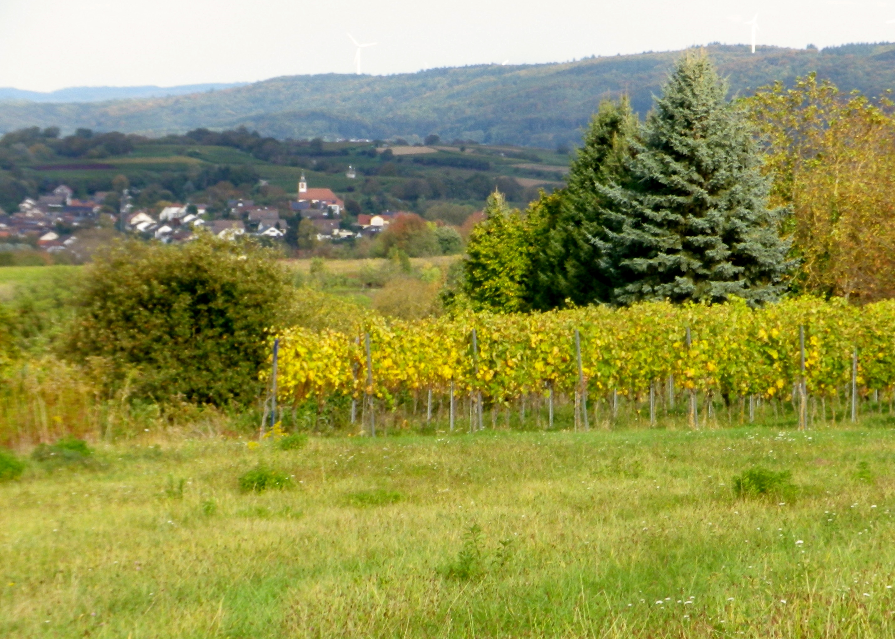
As the trail rounded its southern most extent, and headed north, the first views of the nearby Black Forest came into sight.  Bleichheim and its solitary church steeple hove into view, but put into perspective by the massive foothills of the Black Forest behind. Tutschfelden and its distinctive steeple appeared.

Tutschfelden


Heading back toward the village, I passed a couple of wineries, (the Schaudt and the Ringwald), and more vintner huts. All nestled comfortably into the folds of this rolling terrain, and blended in effortlessly. Then just like that, from vineyard to village, I was back in Wagenstadt.

Vineyards, Fields and Forests in Breisgau


No, mankind did not outdo nature here, but came in a close second. The true merit of mankind’s efforts was housing the implements, wineries and the taverns where nature’s fruit of the vine could be harvested, produced and enjoyed with friends and neighbors.

Old Rebhisli

Rebhisliweg: Trail in a Nutshell


Trail Name:  Grosse Rebhisliweg

Trail Type: A short distance circuit; well-maintained and mostly hard-packed or paved with some grassy surface; marking on the trail fairly good, but a map could be useful.

Length:

Total – 7.4 kilometers/5.2 miles

Convenient to: Freiburg, Germany

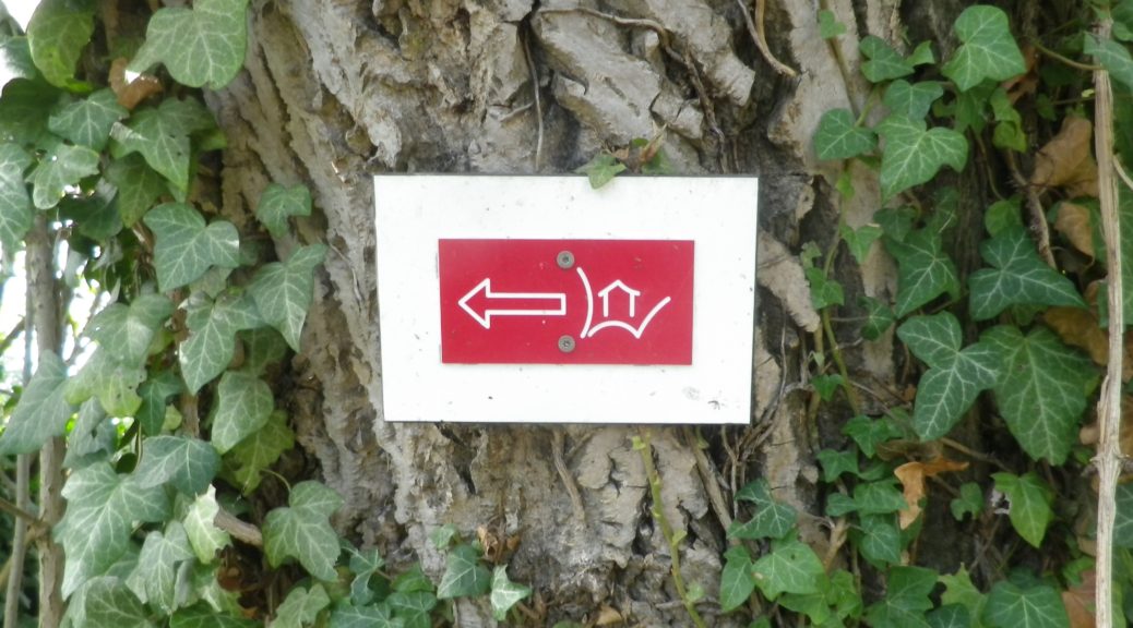
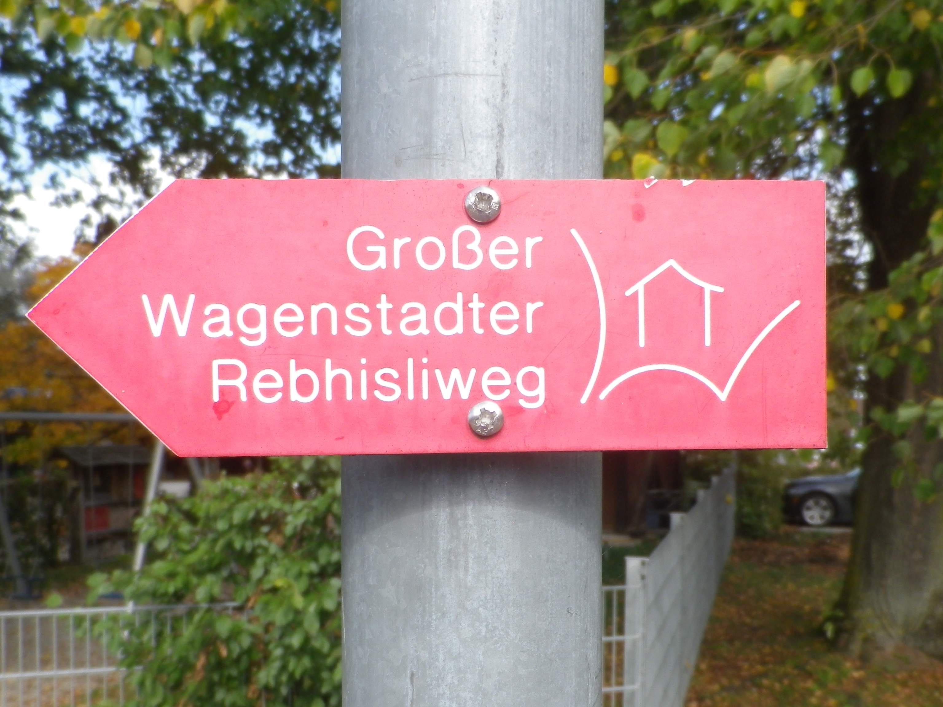
Marking: A rectangular red background with a stylized white letter W, with a stylized white hut inside it


Trail Description: A gentle hike over modest inclines with well-maintained trail surfaces through vineyards and fields with the vintner huts throughout. Great views in all directions, but especially toward the Black Forest.

Trailhead:

Herbolzheim-Wagenstadt, August Ziegler Weg, by the Evangelical church

Parking:

Herbolzheim-Wagenstadt, Im Erb or Im Weiherle

Public Transportation Options:

Rail and Bus: Herbolzheim, and nearby Kenzingen, are two of the many stations on the main north-south train route through the Rhine River Valley. DeutscheBahn (DB) has many trains serving this area, and operates buses which serve the nearby villages like Wagenstadt.

Suggested Stages: Not applicable

Trail Itinerary-Reference Points: (Counterclockwise)

Herbolzheim-Wagenstadt: Kenzingerstr, Brechterstal, fields, vineyards, edge of forest, vineyards, Weingut Schaudt, Kenzingerstr, Ob dem Dorf, past the cemetery, vineyards, down a slope to trailhead.

Representative Trail Photos:

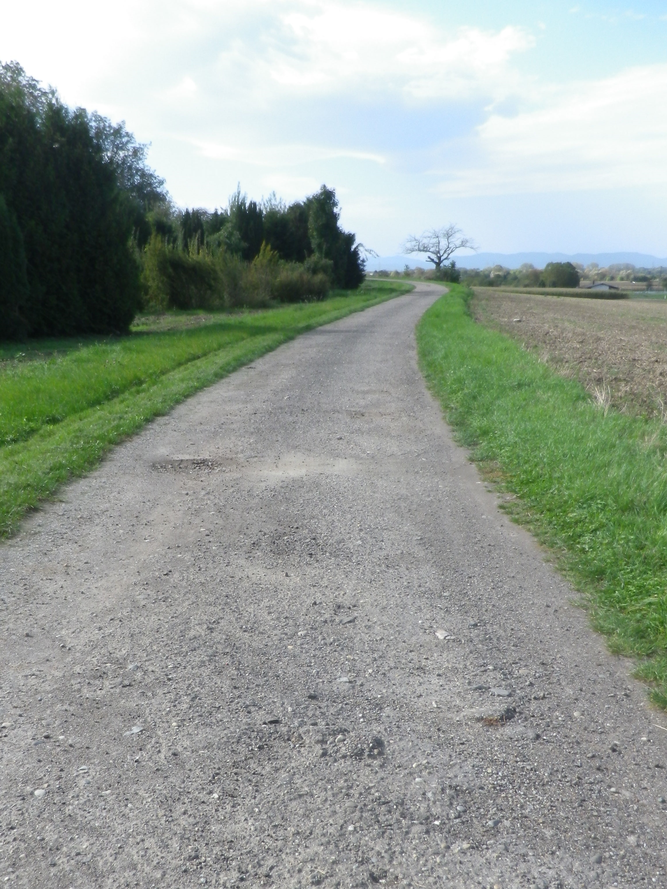
Sample Gravel Trail Surface


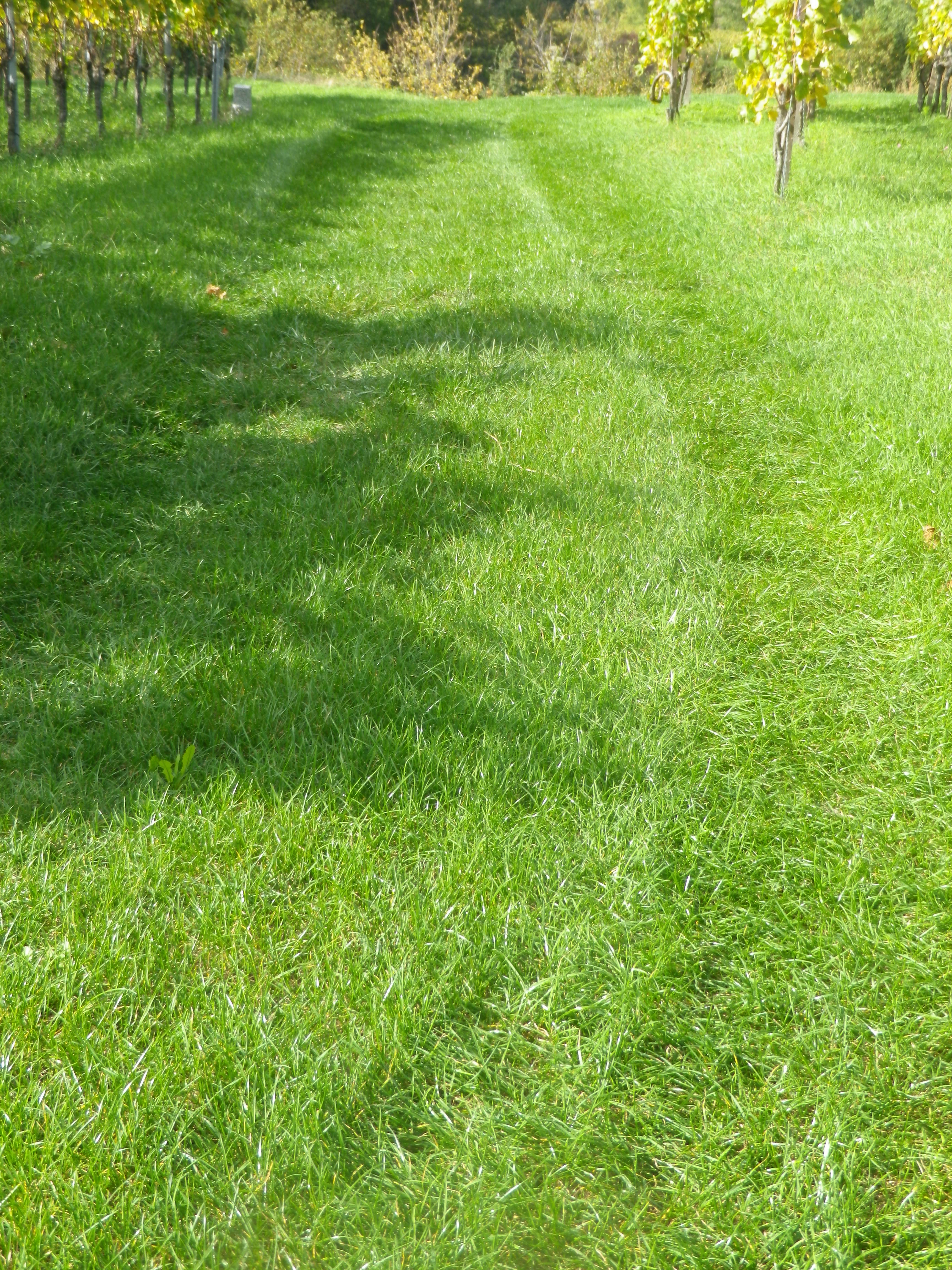
Grass Trail Section


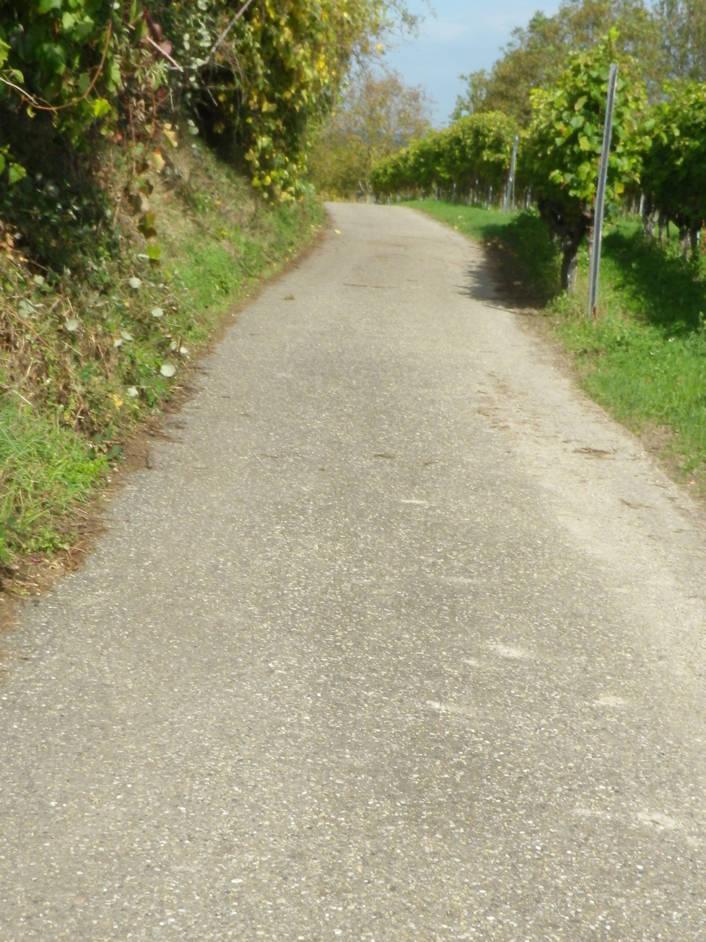
Representative Trail Section in Vineyards


Restrooms:

None observed

Attractions on or near Trail:

None related to wine

Tasting along the Trail:

Three wineries are on the trail (but note hours), plus other wineries and taverns in the nearby towns Kenzingen and Malterdingen

Alternative Options:

Hiking: Nearby Ettenheim has the Weinwanderung Kaiserberg, a circuit similar in distance and landscape. See the Nutshell here.

Car: The Badische Weinstrasse, a car route of over 500 kilometers on mostly secondary roads, covers not only Wagenstadt, Bleicheim and Tutschfelden, but most of the wine villages and towns from Laudenbach, north of Heidelberg, to Weil am Rhein by Basel, Switzerland.

Additional Information:

Regional: https://www.schwarzwald-tourismus.info/schwarzwald/regionen/region-europa-park

Trail specific: https://www.alltrails.com/explore/map/rebhisliweg-wagenstadt

Comments:

Two trails actually, with a tiny bit of overlap, the Grosse, or long trail has red signage, and the shorter one (about 4.1 kilometers) has blue and yellow signage.

A pleasant trail, and I could recommend it for families with children of about six or seven and up.

The one grass covered surface section might not be mowed, which could be an issue in mid-summer. However, there are easily identifiable detours all around.


Winzer Radrundweg: Trail in a Nutshell


Trail Name: Winzer Radrundweg

Trail Type: Medium distance circuit cycling itinerary; well-maintained and mostly paved trail surfaces, albeit with a couple of grass paths, and a few hard-packed earth surface sections, marking on the trail for the specific itinerary is sporadic.

Length:

Total – 44 kilometers/27.3 miles

Convenient to: Landau in der Pfalz, Germany

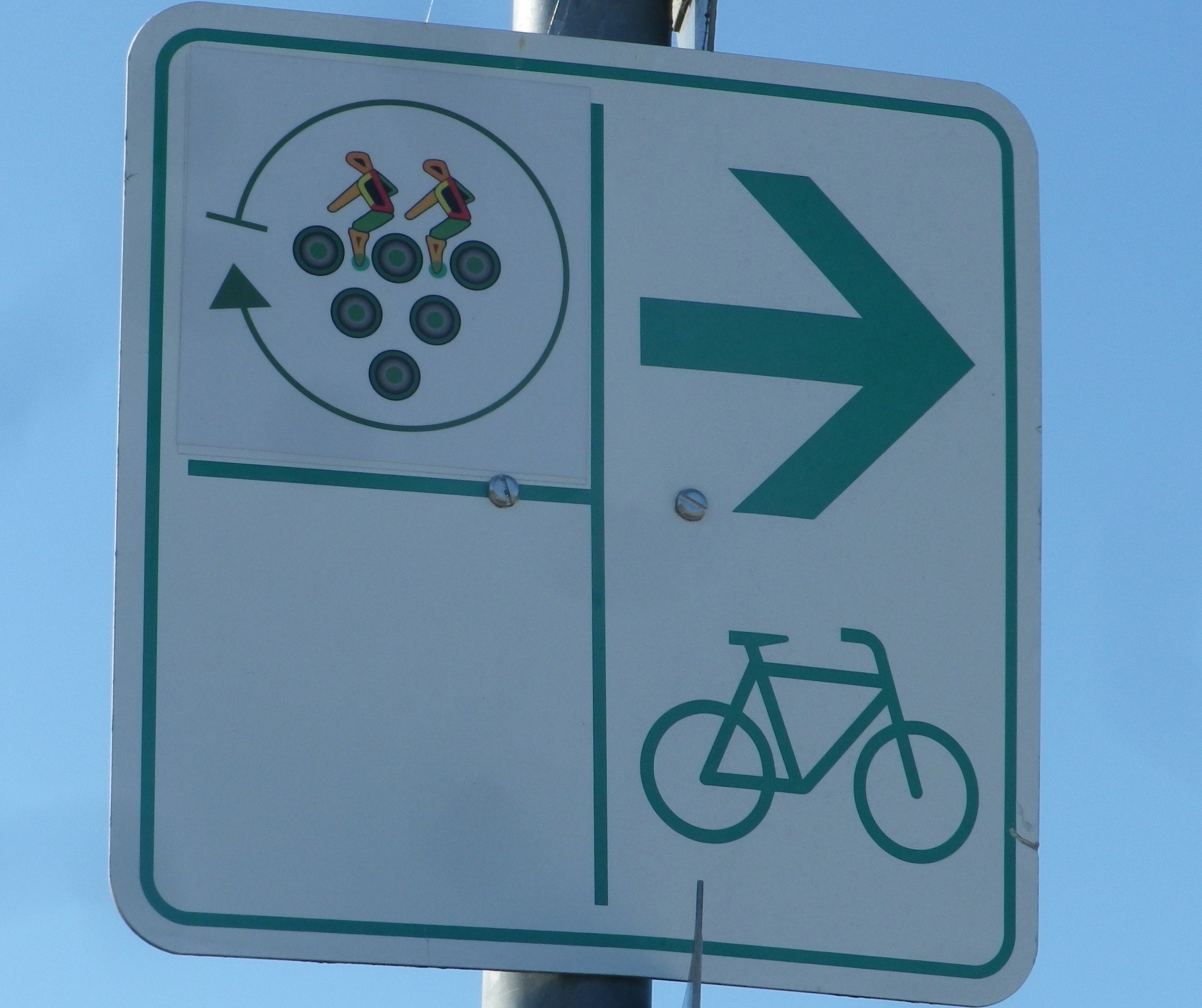
Marking: A white sign with stylized circles forming a grape cluster with two stylized riders on top

Signage: Winzer Radrundweg


Trail Description: A delightful medium-length circuit primarily through vineyards, circling around the smaller, and lesser known (hence quieter and not as tourist-filled) wine villages of the southern part of Deutsche Weinstrasse.

Trailhead:

Official: Siebeldingen: Bismarckstr

Mine: Laundau: L509 Queichheim Hauptstr, at the Landau Zentrum exit off A65

Parking:

Insheim: Bahnhofstr;

Moerlheim (at exit Landau-Zentrum): P+R (just east of exit)

Landau: parking in and around the Freizeitbad (a water park) and the nearby Stettiner Str

Public Transportation Options:

Rail: Deutsche Bahn has frequent rail service connecting Landau with the main Rhine Valley cities via Karlsruhe.

Bus: VRN (Verkehrsverbund Rhein-Neckar) has bus lines connecting Landau and/or Bad Bergzabern (both with frequent train service) to the smaller towns and villages on this itinerary.

Suggested Stages: Not applicable

Trail Itinerary-Reference Points: (Counterclockwise)

Landau: Horststr, Horstring, Am Kugelfang; Dammheim: Am Bahnhofstr, Alte Bahnhofstr, Dorfstr, Schmiedstr; through fields, along A65; Knoeringen: Bahnhofstr, Hauptstr, Kirchstr; Walsheim: Hauptstr; through fields; Nussdorf: Kirchstr, Lindenbergstr, Am Heimlichen Eck, Kaiserberg, along Weinerlebnis Pfad; Godramstein: Unterer Steinweg, Bornergasse (P), Frankweilerstr, Kapellenweg, L511; Siebeldingen: Jahnstr, along Queich creek, outskirts; Arzheim: Hauptstr-Kalmitstr, Kapellenstr, Erzabt-Josef-Koch-Str, Ilbesheim bei Landau: Arzheimerstr, Hauptstr, Moerzheimer Str; Wollmesheim: Wollmesheimer Hauptstr, L510/Moerzheimerstr; Moerzheim: cross K6 (or turn left) Goecklinger Weg, Zum Kirchweg, Herrenstr, Unterstr, Bruehlstr, Augartenweg, fields; Impflingen: Obergasse-Bruchgasse, In der Kuhweide, fields; Insheim: Sportplatzstr, Kettelerstr, Kandeler Str-Sandweg, past train station (P), Bodelschwingstr, Offenbacherstr; Along, then over A65; Moerlheim: Moerlheimer Str; Queichheim-Landau: Queichheimer Hauptstr (P); Landau: Hauptbahnhof (P)

Representative Trail Photos:

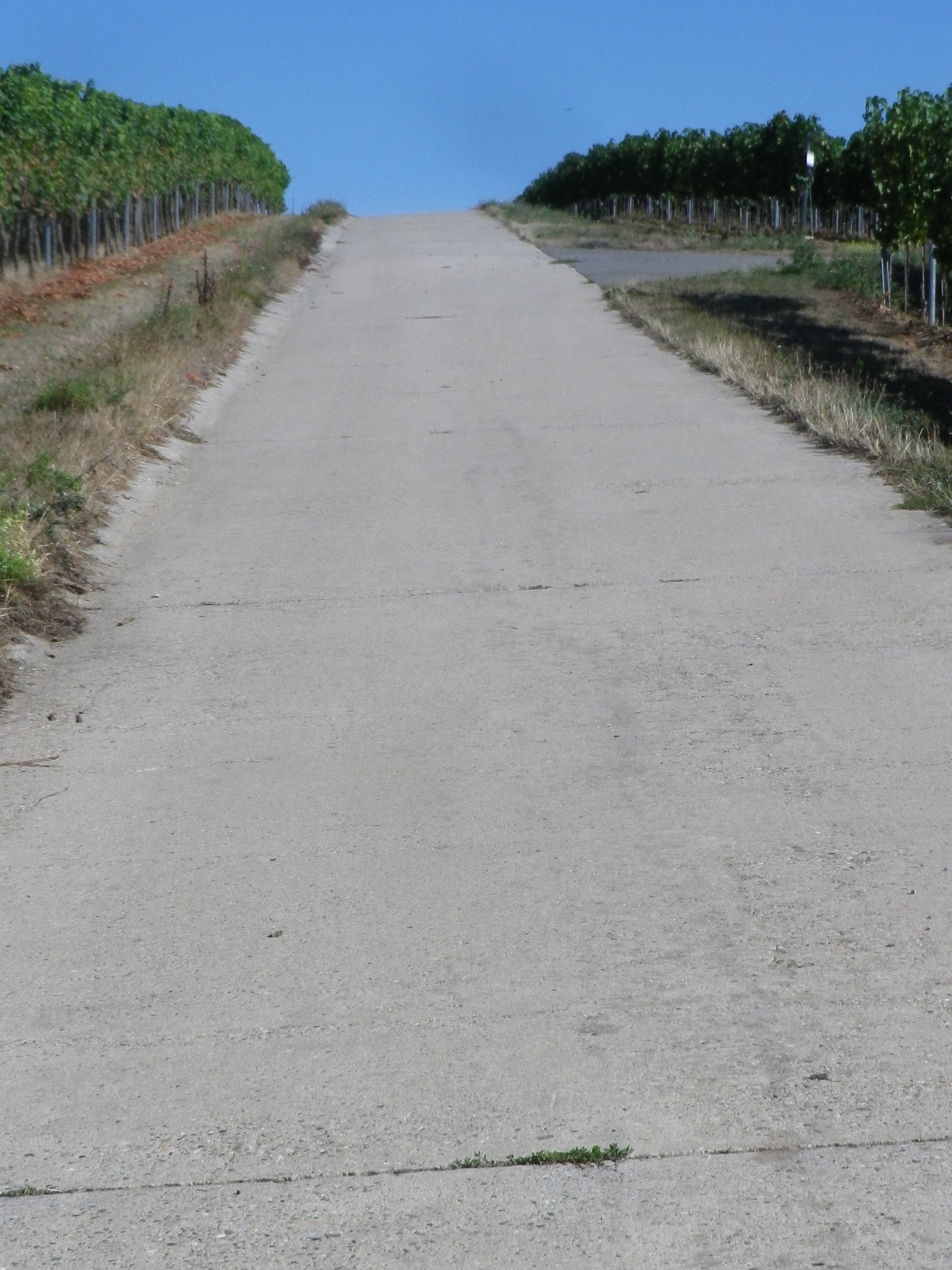
Sample of Surface Type


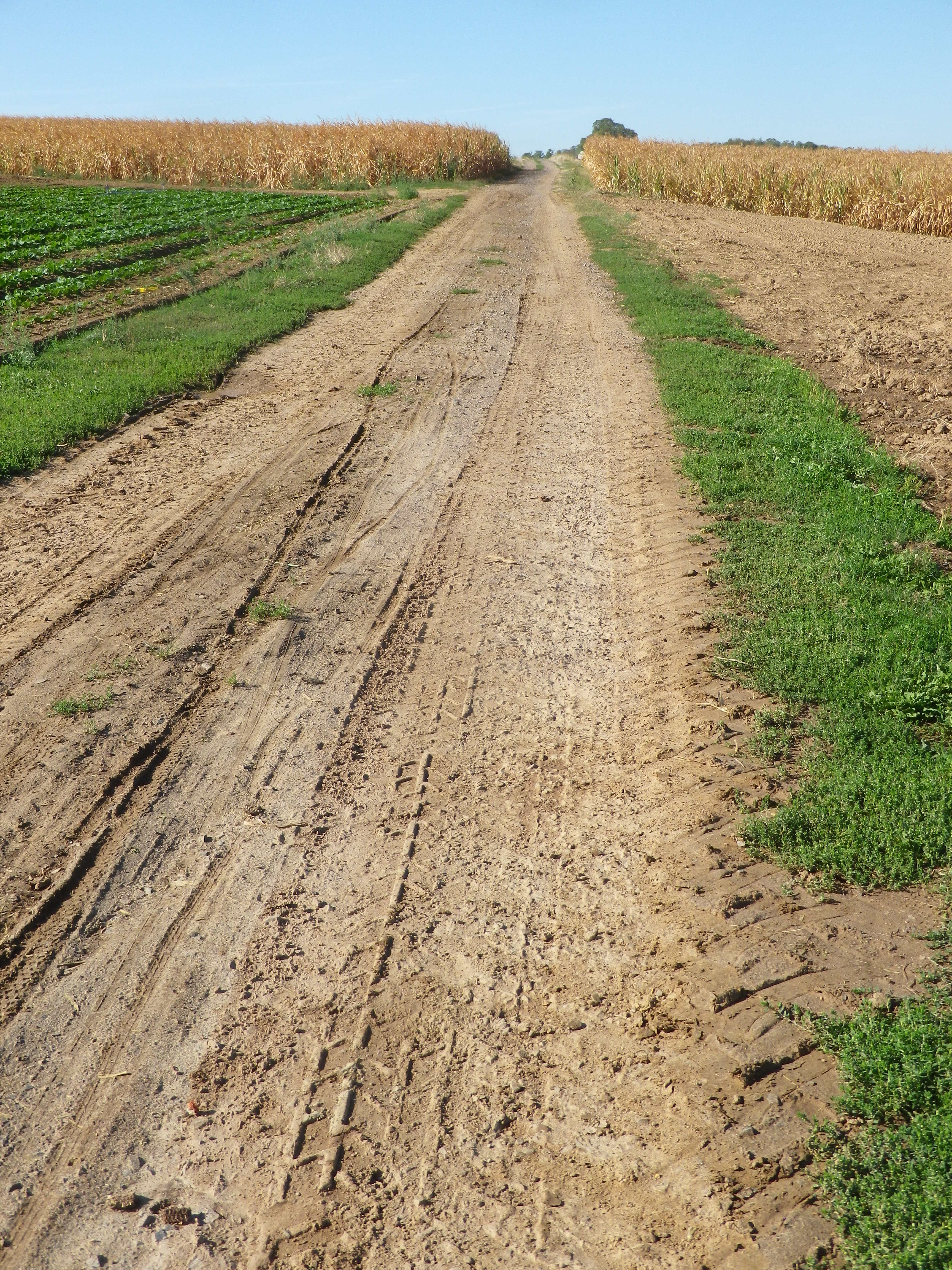
Most Degraded Surface of the Itinerary


Restrooms:

Nussdorf: On the Weinerlebnispfad, in the vineyards is a small restroom set in a nice rest area.

Landau: Off the trail (but closest and pay) toilets at Am Kronwerk x Fortstr (make sure you have coins)

Attractions on or near Trail:

Seasonal local wine festivals (see below), and wine education paths Nussdorf and Siebeldingen

Tasting along the Trail:

Many wineries along the trail, most notably in Siebeldingen, Nussdorf, Ilbesheim and Godramstein; whereas Landau has a couple of wine taverns/vinoteks. Additionally, Ilbesheim, Heuchelheim-Klingen, Siebeldingen have wine festivals in September

Alternative Options:

Hiking: In Heuchelheim-Klingen, the Weinrundwanderweg, a 13.6-kilometer-long easy circuit hike through the two villages surrounded by a sea of vines. Ilbesheim, by contrast has a number of wine-themed short (2-3 kilometer) circuits. Last but not least is Nussdorf’s Weinerlebnispfad, a unique combination of visual and audio art set in the vineyards along a two-kilometer trail through the vineyards overlooking the mountains and valleys of the Pfalz.

Car: Deutsche Weinstrasse, a thematic car route itinerary of about 100 kilometers, much of it on secondary roads, past vineyards and through charming wine villages, from Bockenheim to the border town of Schweigen-Rechtenbach.)

Additional Information:

Regional: https://landauland.suedlicheweinstrasse.de/

Trail specific: https://www.outdooractive.com/de/route/radtour/pfalz/winzer-radrundweg/3201806/ or

https://vis-a-vis-pamina.eu/en/activities/

Comments:

Not a lot of shade, so perhaps best in cooler weather.

A couple of short, but steep inclines. However, overall, this is an easy to medium difficulty trail.

I included the earthen trail surface photo above to show that even the most degraded surface on this itinerary is quite suitable for most bicycles, except perhaps directly after a very heavy or prolonged rain.


Red Wine Ways


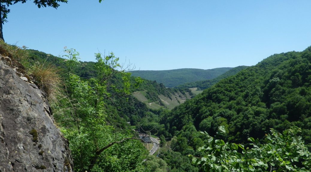
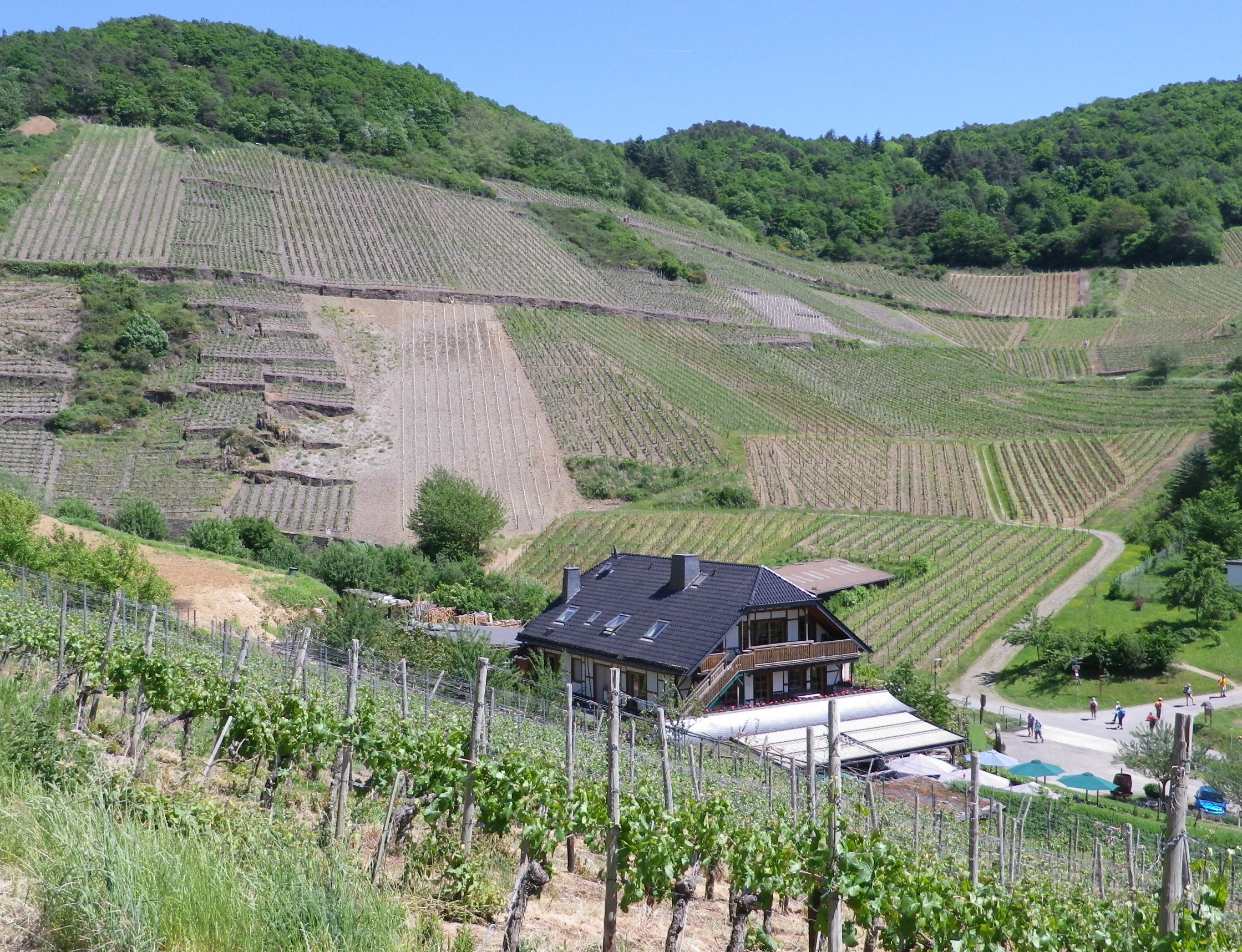
I didn’t know what to anticipate in the Ahrtal, but it certainly wasn’t this: gorgeous, dramatic scenery, and absolutely delicious food and wine, all set in the heart of the river valley of one of the lesser known German wine regions.

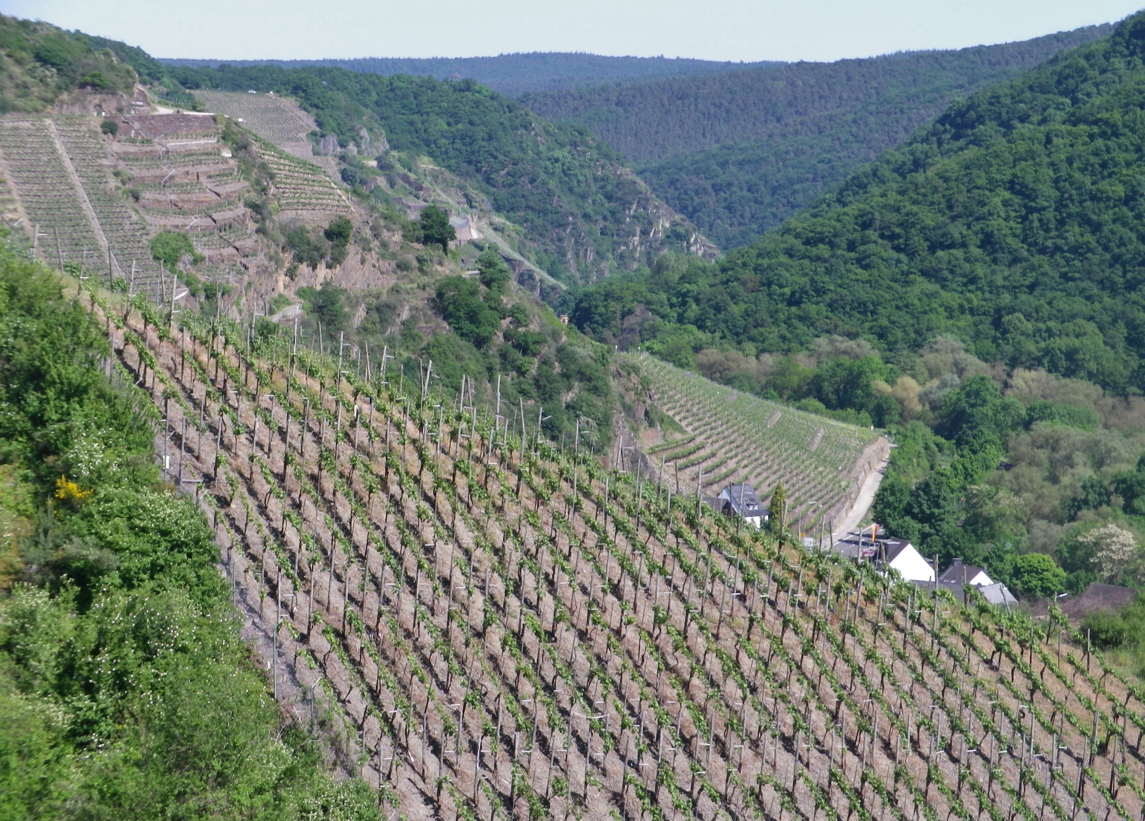
Steep Terraces and Tree-lined Slopes


Also unexpected were the steep hills that, by necessity, must accompany such stunning perspectives. And equally unexpected was the excellent red wine. Given its northern latitude, where ripening can prove difficult, good red wine is often challenging to make. Finally, I did not expect such well-developed tourism infrastructure in an area unknown to mass tourism. But Germans certainly knew about it, as the license plates I saw in the towns and villages indicated visitors from all over Germany – and with good reason.

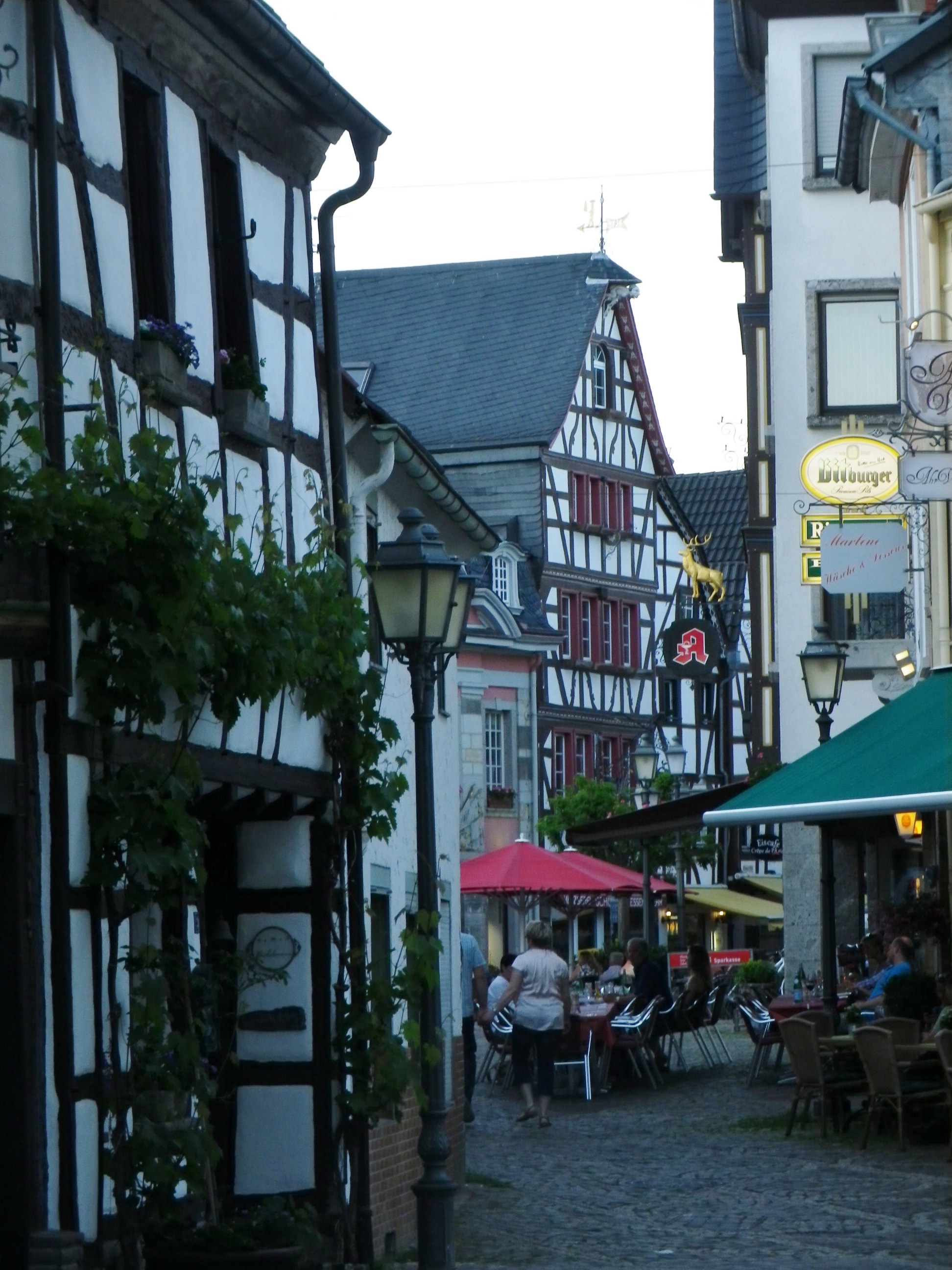
Ahrweiler: Street Scene


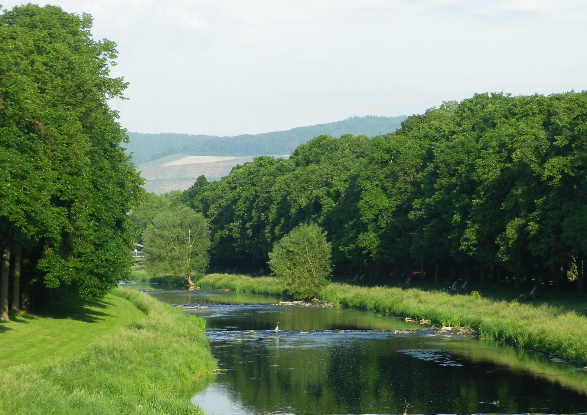
The main town in the area, Bad Neuenahr-Ahrweiler, is a delightful spa town, with all the amenities found in most spa towns: perfectly maintained paths (wheelchair as well as baby carriage accessible) through beautifully manicured parks or gardens; cafes by the dozen where strollers can watch the world go by with a cup of coffee, or a glass of wine in hand; museums and concerts, sometimes even free and outdoors; and, of course, good restaurants. The most important amenity though, pools and spas, are throughout town and in several hotels. (Soaking in a whirlpool of hot water after a long hike is any hiker’s idea of heaven on earth.)

Bad Neuenahr: City Park


But for those preferring something a bit more strenuous, there is the Rotweinwanderweg. At 35 kilometers, it is designed to be hiked over a couple of days in stages, at your own pace. Conveniently, area hotel guests receive a local rail pass, which was another pleasant surprise! Therefore, it is possible to ride to the start point, in Altenahr, hike your way back down the valley to a point of your choosing, then picking up the following day where you left off the day before.

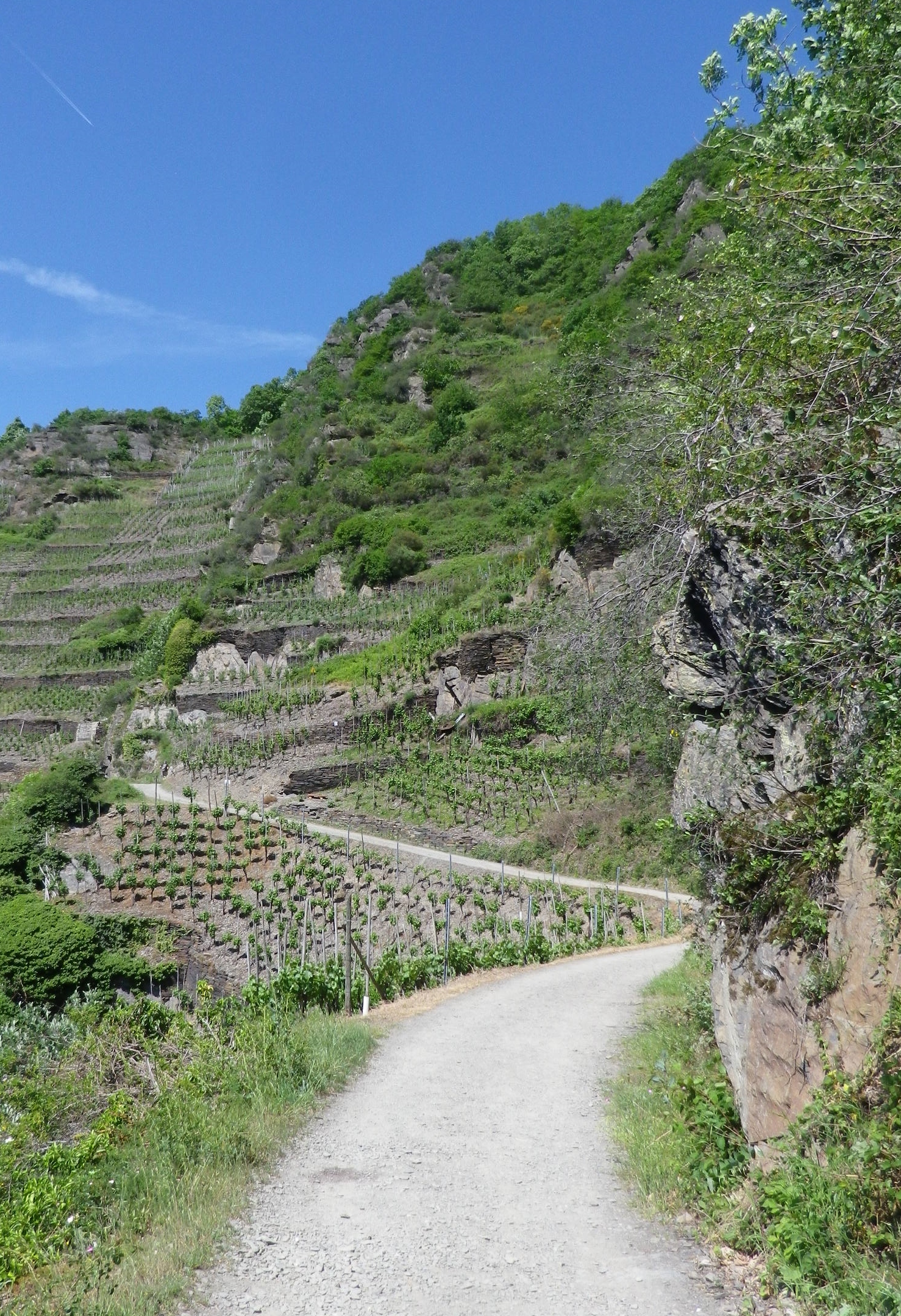
Winding Along the Cliffs


This trail is certainly do-able in two days, but you will want more time! Lovely wine taverns, wine shops and rest areas line the trail in places. While some taverns were in the villages (Dernau was especially full of them), I stopped at one (the Michaelishof) magnificently set in the midst of the vineyards on the outskirts of Mayschoss to sample some food and wine, in spite of being behind schedule.


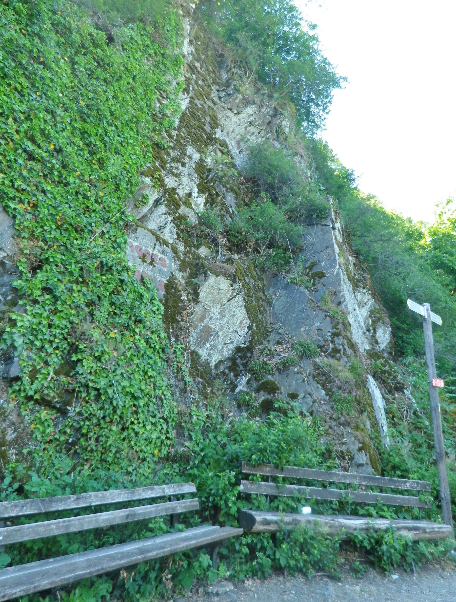
Other places that beg for a stop on the trail are fantastic overlook points, and dramatic cliffside benches. Quiet forest vales also invite hikers to experience a few minutes in shadowy, green tranquility. Sadly, I didn’t have enough time to maximize my enjoyment at each spot, so it was often with a heavy sigh, that I moved on. But at this point, I knew I could definitely count on another unexpected delight around the next bend or atop the next rise – and I was never disappointed.

Cliffside Seating


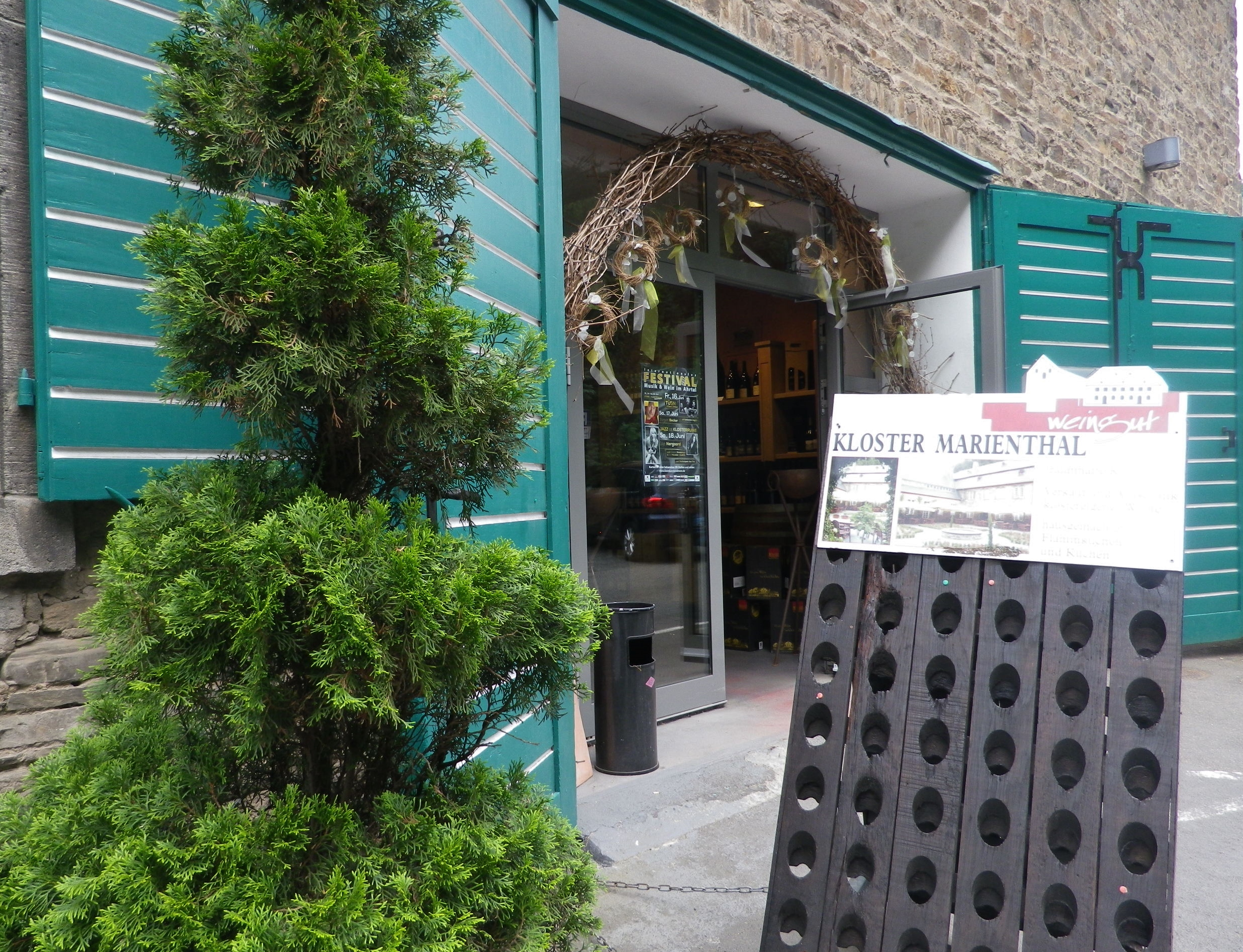
My hike on the Rotweinwanderweg only took me from to Altenahr to Marienthal. That is to say, I only completed the first 13 kilometers of the trail because of personal time constraints. Marienthal is as good a place to stop as any, as it is the site of a former monastery, now home to the Weingut Kloster Marienthal. Set in a hidden, narrow draw lined by vineyards on one side of the road, and tall pines on the other, its historic building contains an impressive wine shop, a wine bar, and a garden café. It was a fitting way to end my hike on this trail, which also included an unexpected desire to return someday to finish this great trail.

Marienthal: Wine Shop and Tavern


Spring is for Silvaner


I think Silvaner is a perfect spring wine. Slightly cooled, it has ripe stone fruit and fresh green grass/herbaceous flavors with a hint of minerality, and a fuller mouthfeel than Riesling but with less acidity. Perfect for sunny but cool days when a Riesling’s bracing acidity could bring a chilly versus a warm sensation overall.

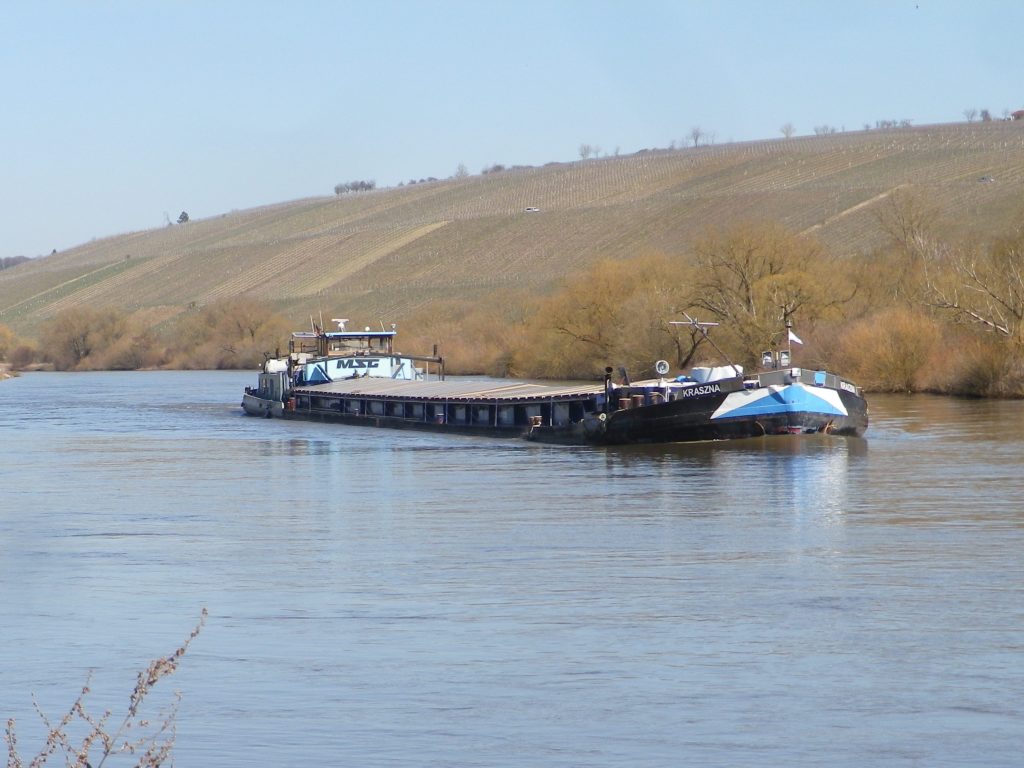
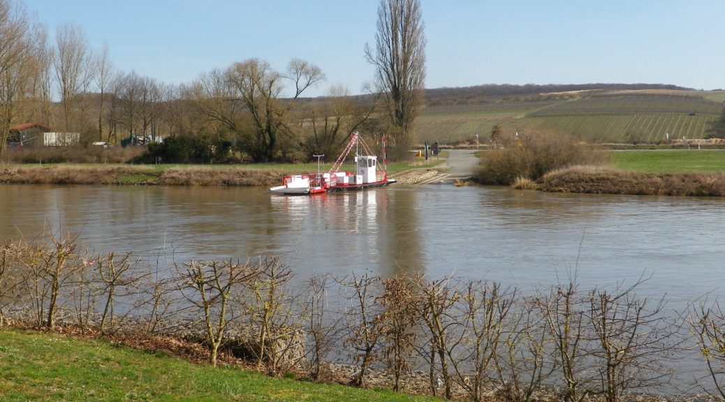
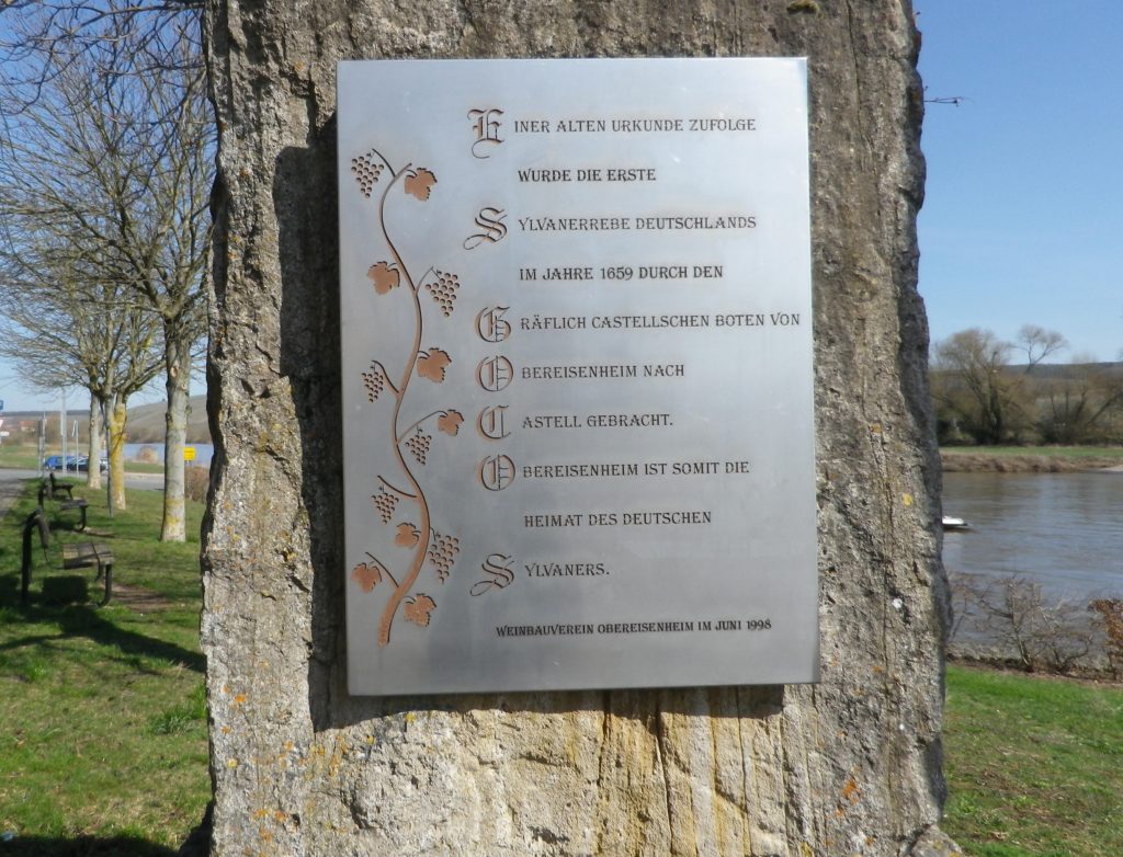
A combination of warm, sunny Spring weather and a hiking itinerary in homage to Silvaner lured me to Eisenheim in Franconia’s Maindreieck district, where Silvaner first made its official appearance in Germany in 1659. Fortunately, Eisenheim’s riverside location is great not just for vines, but also for hikes.

Commemorating Eisenheim: Silvaner’s German Homebase


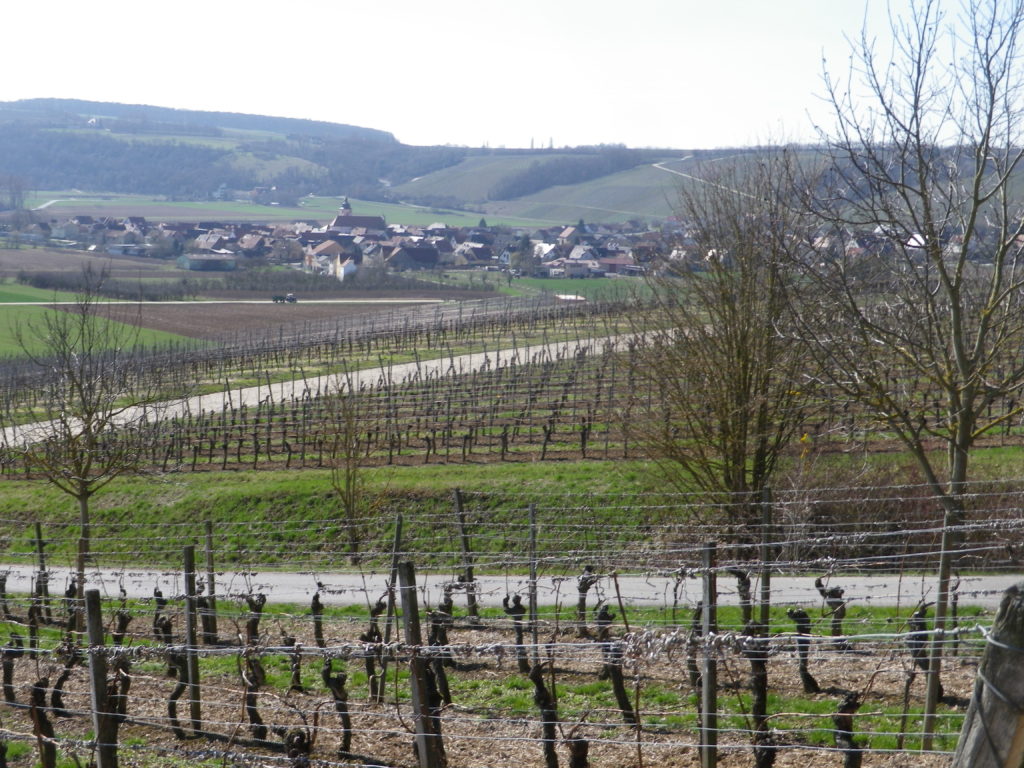
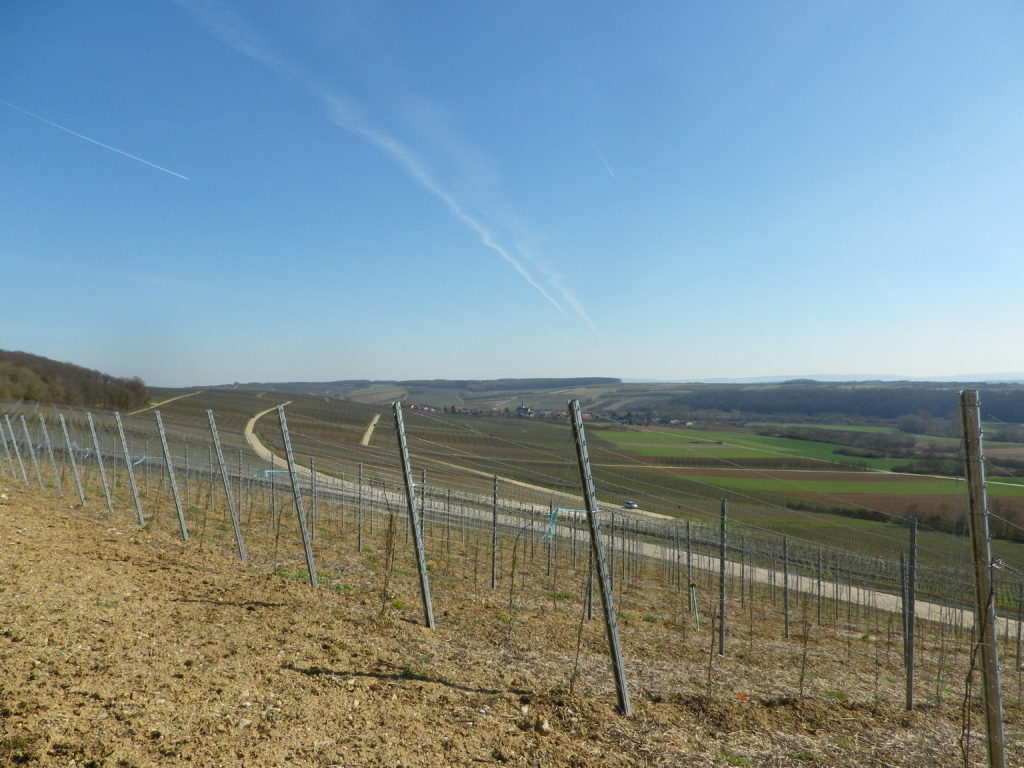
Beginning at the edge of the Main River, flowing slowly but inexorably along gentle green banks, the itinerary crossed the famous Main bicycle trail. In addition to hiking, this area is also ideal for bicyclists. Those who enjoy easy, leisurely itineraries will love the Main Bicycle (Main Radweg) trail, one of the favorites in Germany. Those who prefer a more challenging rides will follow one of several trails uphill, as did my hiking itinerary. The Silvaner Erlebnis trail leads through the quiet village, before entering into the vineyards. Soon, I was hiking over a hill and into a dale, amongst hectares and hectares (acres and acres) of vines that give the trail its name. Along the way, occasional signboards (only in German though) provide information on Silvaner, and the viticultural and vinicultural aspects of wine-making here.

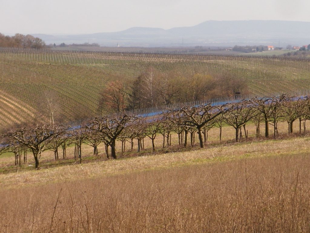
Hectares of Vines


Once I finished the final, gentle ascent, I had my first glimpse of the Main River and the Steigerwald mountains. The trail proceeded along the tree-line paralleling the top of the ridgeline. I was glad it was early spring, because there was very little shade, and except for one tiny spot, I found myself entirely in the sun. The trail made its way through the south-facing vineyards, heading downriver. The twists and turns of the path offered different perspectives on the river and distant mountains.

The Distant Steigerwald Mountains


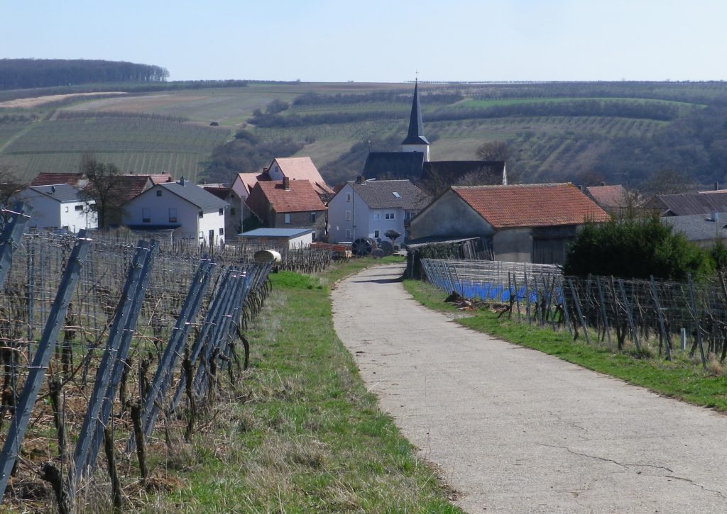
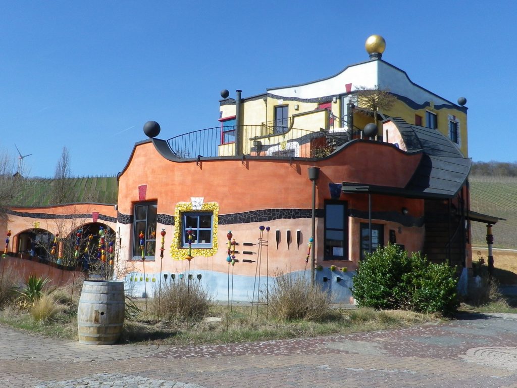
Soon the village of Untereisenheim came into view. The Weingut Hirn provides a unique and colorful visual cue. The winery’s main building is a Hundertwasser-esque building, a whimsical creation that invites comparisons between Gaudi’s Sagrada Familia basilica in Barcelona, and the Hundertwasser House in Vienna. The winery is open to the public, which gives visitors a chance to admire the building up close, and taste some excellent wine as well!

Weingut Hirn


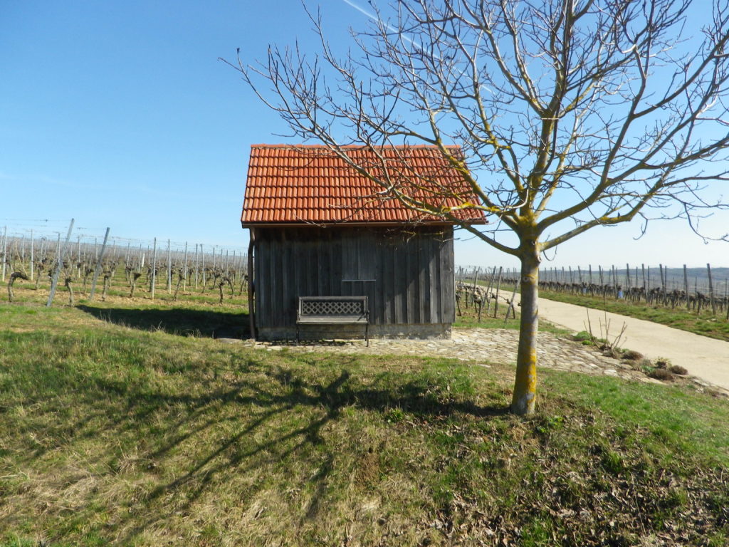
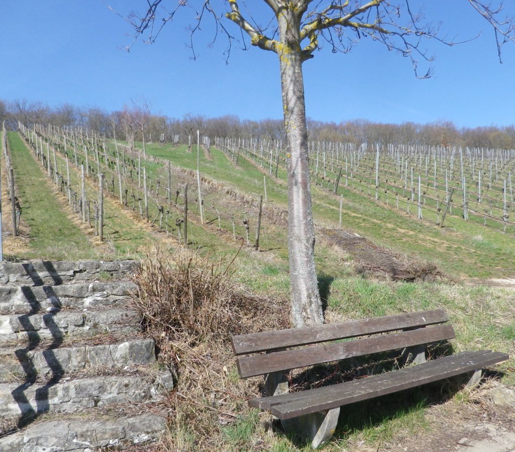
From Untereisenheim, the trail headed through the lower vineyards back to Obereisenheim. Benches along the way invite hikers to relax and take in the views. Peace and quiet predominate here, and a spell on a bench here and there, with friends and a glass of wine, add to the enjoyment of it all! Zum Wohl!

On the Silvaner Erlebnisweg Trail

Silvaner Erlebnisweg: Trail in a Nutshell


Trail Name:  Silvaner Erlebnisweg

Trail Type: Short distance circuit trail; well-maintained and almost exclusively paved, marking on the trail good in most places

Length:

Total – 6.8 kilometers/4.25 miles

Convenient to: Volkach, or Kitzingen, Germany

Marking:

Look for two types.

Green hills, blue river and white ferry on a which square background.

White letter C on a square, red(dish) background (indicating where the Silvaner Erlebnisweg diverges from the principle or other trails).

Trail Description:

The trail leads through mostly unshaded vineyards situated on gently rolling terrain in the Maindreieck, on primarily agricultural service lanes. This easy hike affords ample opportunities to admire distant vistas over the Main River valley, and plenty of benches (and the occasional picnic table) from which to enjoy them.

Trailhead:

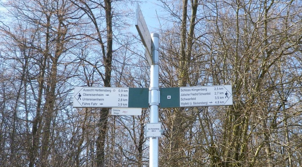
Obereisenheim – An der Mainau/Dorfstrasse

Parking:

Obereisenheim – An der Mainau

Public Transportation Options:

Bus: The Frankenbus 8110 services this area from Kitzingen and Volkach. Check VVM (Verkehrsverbund Mainfranken) and VGN (Verkehrsverbund Grossraum Nuernberg) websites for schedules and routes.

Suggested Stages:

Trail Itinerary-Reference Points: (Counterclockwise)

Obereisenheim: Hintergasse, Marktplatz, Wipfelderstr, Setzweg, Buehlweg, cross Schwanfelder Strasse; Vineyards; back across Schwanfelder Strasse; long vineyard loop (almost to Dipbacherstr); Hertleinsbergweg, Bergstr

Representative Trail Photos:

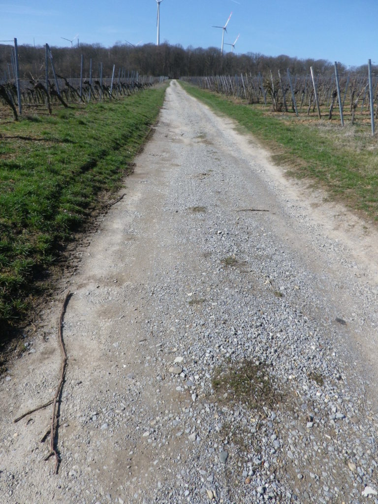
Non-Asphalted Section of Trail


Paved Section of the Trail


Restrooms:

None observed

Attractions on or near Trail:

WG Hirn is a winery designed in the Hundertwasser architectural style, and has acclaimed red and GG Silvaner wines!

Tasting along the Trail:

Weingut (WG) Jung, WG Schuler, WG Kramer, WG Reich, WG Ruegamer, in addition to WG Hirn, lie either directly on or near the trail.

Alternative Options:

Hiking: In nearby Fahr, the Obst-Wein-Main trail/Trail D circuit offers a short (3.5 kilometer) and a long (9.8 kilometer) version.

Biking: Eisenheim is on one of Germany’s favorite bike trails, the Main Radweg. Its itinerary follows mostly along the Main River for about 340 kilometers to the Rhine River at Wiesbaden, much of it on dedicated bike path. See the Nutshell here.

Additional Information:

Regional: https://www.frankentourismus.de/orte/eisenheim-169/

Trail specific: http://www.wandermap.net/de/route/3493744-silvaner-erlebnisweg-markt-eisenheim/#/z11/49.8300104,10.1214981/terrain

Comments:

The ferries at Obereisenheim and nearby Fahr make a fun three-minute Main River crossing for hikers and bikers in the area.


Hiking Rings Around Kaiserberg


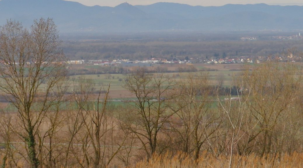
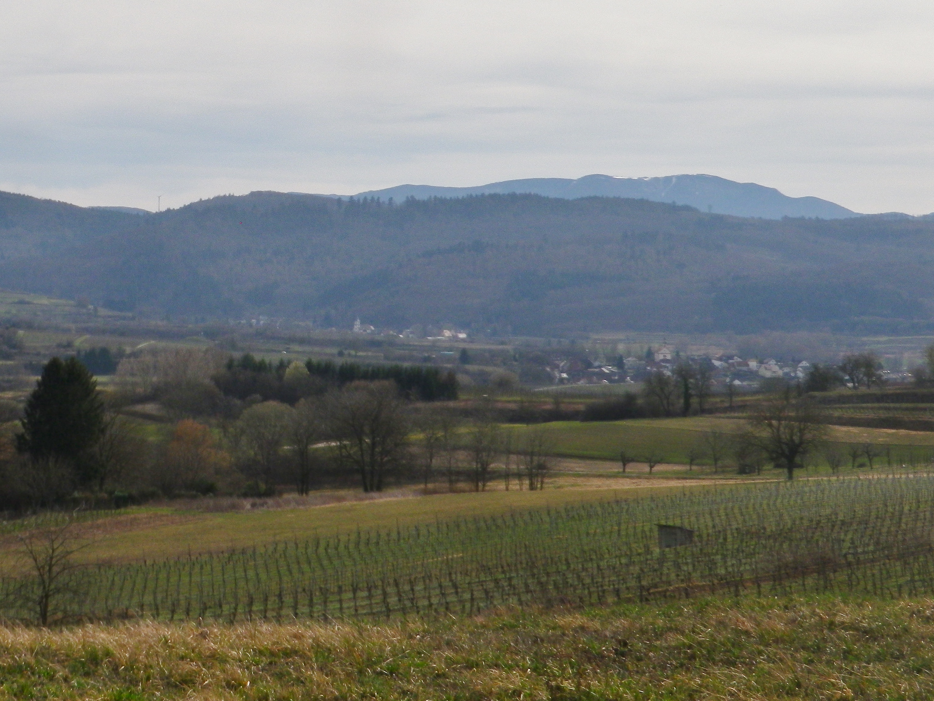
Above the small town of Ringsheim, after a long, but steady, climb up the Kaiserberg, I took in my first view of the distant mountains. Off to the west, over 30 kilometers (18.5 miles) away, were the Vosges Mountains in Alsace, standing out against a clear sky. Off to the east were the mountains of Germany’s best-known forest, the Black Forest. I took some time to try to get good photos, thinking the opportunity was too good to pass. I was there, the sun was in the right position, and the atmospherics were mostly clear. Little did I know that I would cross close to this spot again, to complete the second part of this circuit trail, which was laid out like a rough figure eight. In fact, there were several circuit trails in this hiking paradise.

Black Forest Scene


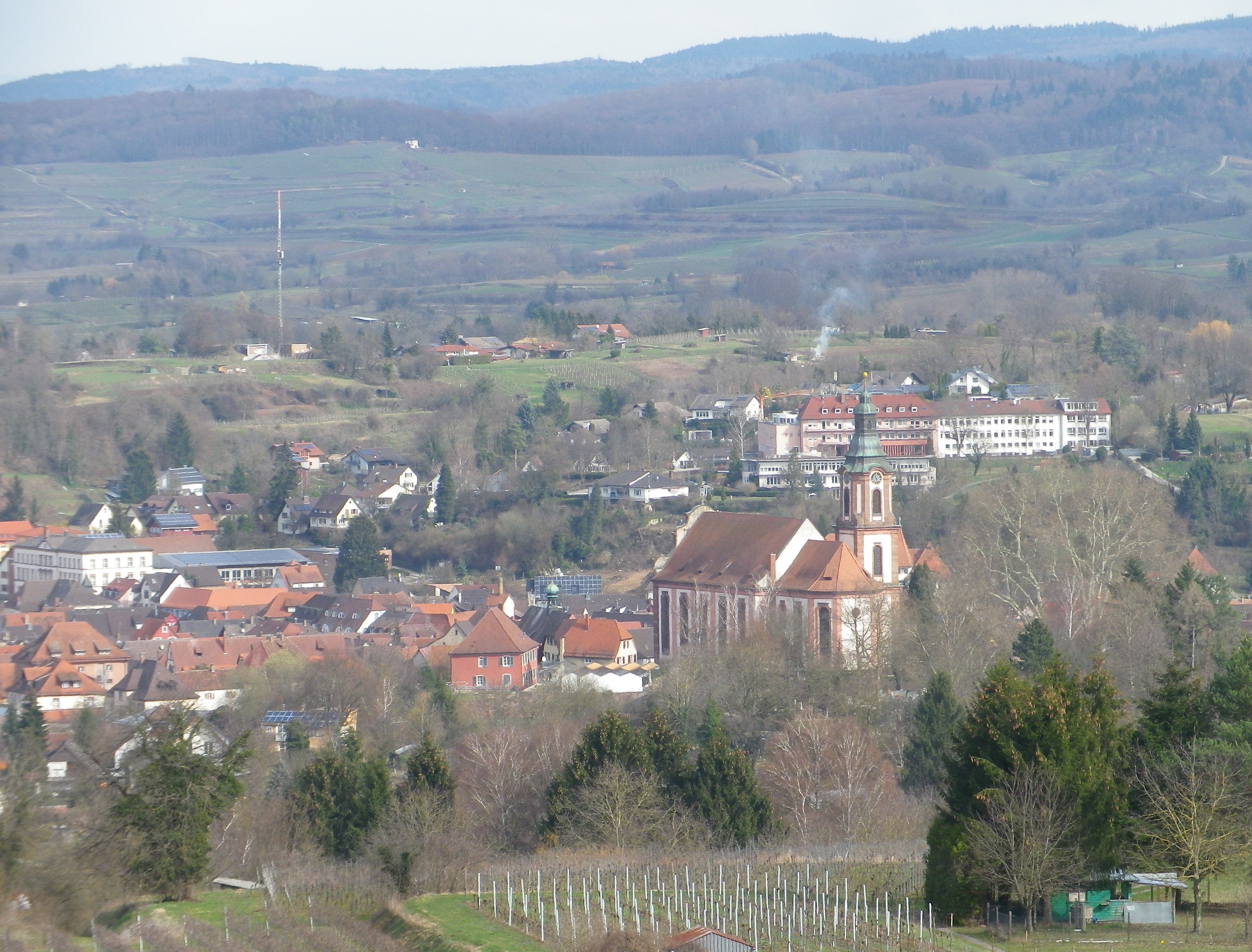
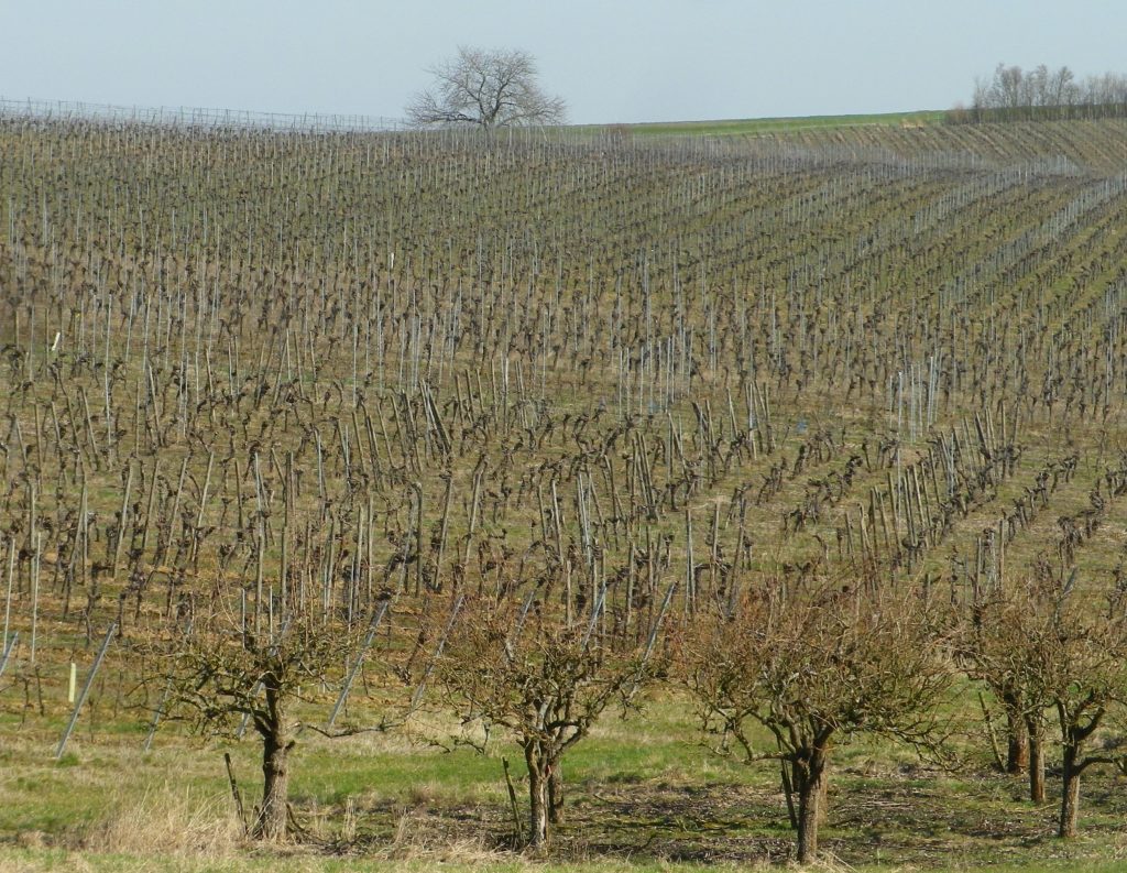
So twice the hike to the top of the Kaiserberg, which really is not as challenging as it may seem. On the plus side, I had two opportunities to take in the great views. But the Kaiserberg is really famous in this area of the Breisgau for its vines and wines. In fact, the official start of this trail is in Ettenheim, a town at the foot of the Kaiserberg that attracted a famous French nobleman and bon-vivant: Bishop (later Cardinal) Louis Rene Edouard de Rohan. Maybe it was the wines?
Ettenheim


The situation of the Kaiserberg and Ettenheim is good for capturing sun and warmth, being high enough – but not too high – in the foothills of the Black Forest, with good and long western and southern exposure to sun. The scenery was certainly an attraction as well: dark green of the Black Forest, little blue mill ponds and the peaked mountain tops on both sides of the valley. Some of these were still snow covered. But to my delight, flowers were already blooming along the trail, a surefire indicator of imminent spring weather.

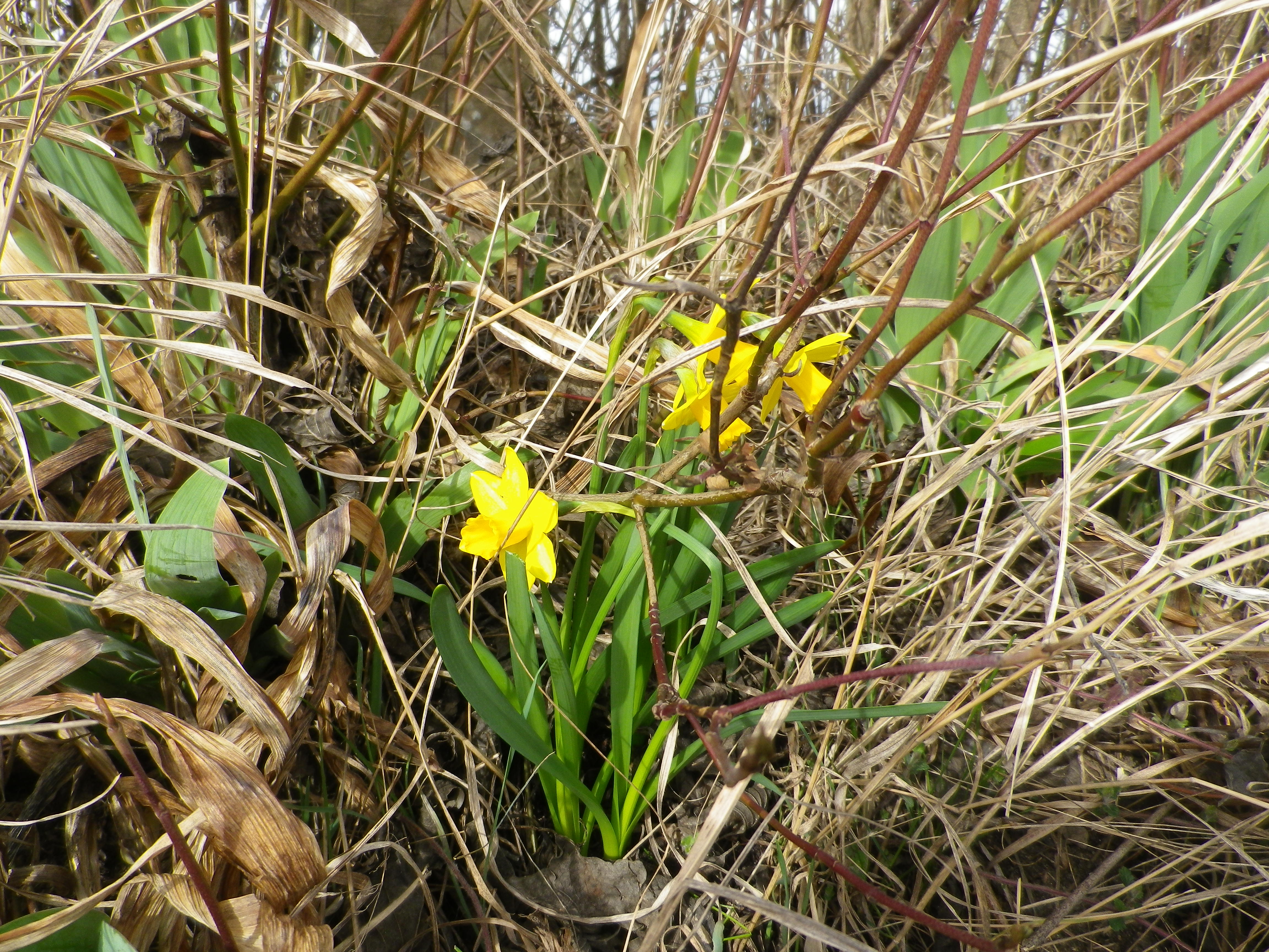
Daffodils in Early March


It was still too early though for the taverns on the trail to be open. (Normally, taverns on trails close in winter, and don’t open until at least Easter or April, whichever comes first.) Pity, as the trail passed two, each looking equally inviting. One was close to the highest point of the Kaiserberg, next to an observation tower. The other, set in a traditional style building, was nestled further down the Kaiserberg in a hollow, where it was warm and sunny, and sheltered from wind for the most part. Very gemuetlich! Both offer local wines, as there are several vintners in the surrounding towns of Ringsheim, Ettenheim and Herbolzheim, producing some of the best wines in the Breisgau wine district.

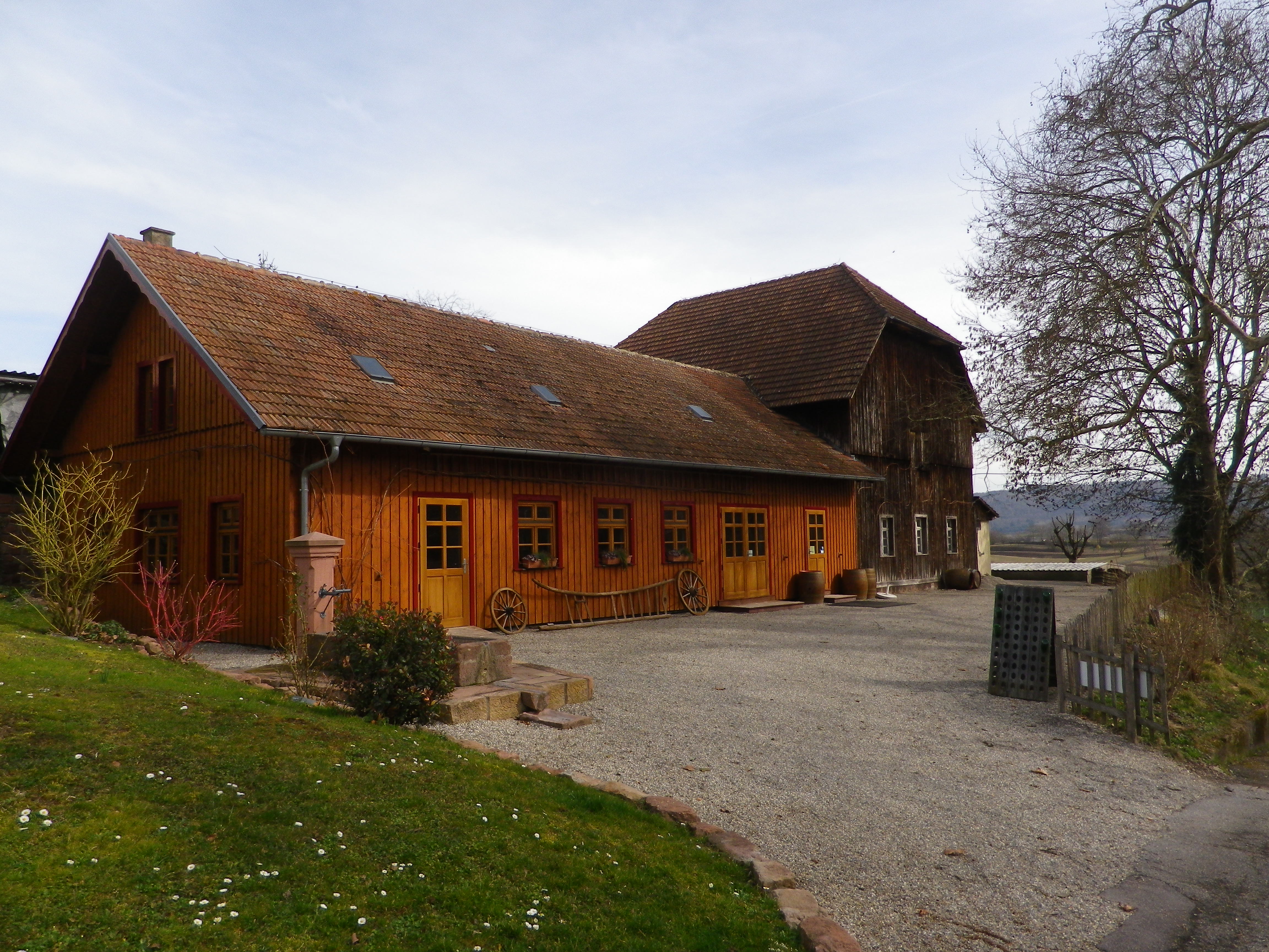
A Wine Tavern on the Trail


Fortunately though, the trail ends (and begins) by the Weingut Weber (Weber Winery). While their “wine lounge” with its attractive  view from the patio was also closed, at least the shop and restaurant were open. Maybe Cardinal de Rohan knew something, or maybe he started something, but it is certainly true that one can eat, drink and even hike well in this bucolic corner of the Breisgau.