Tag Archives: hiking French vineyard trails
Savoring Savigny
Like any fine Burgundian wine, Savigny should be savored. Not just the wine either: the sights and sounds of its sites merit time and attention as well.
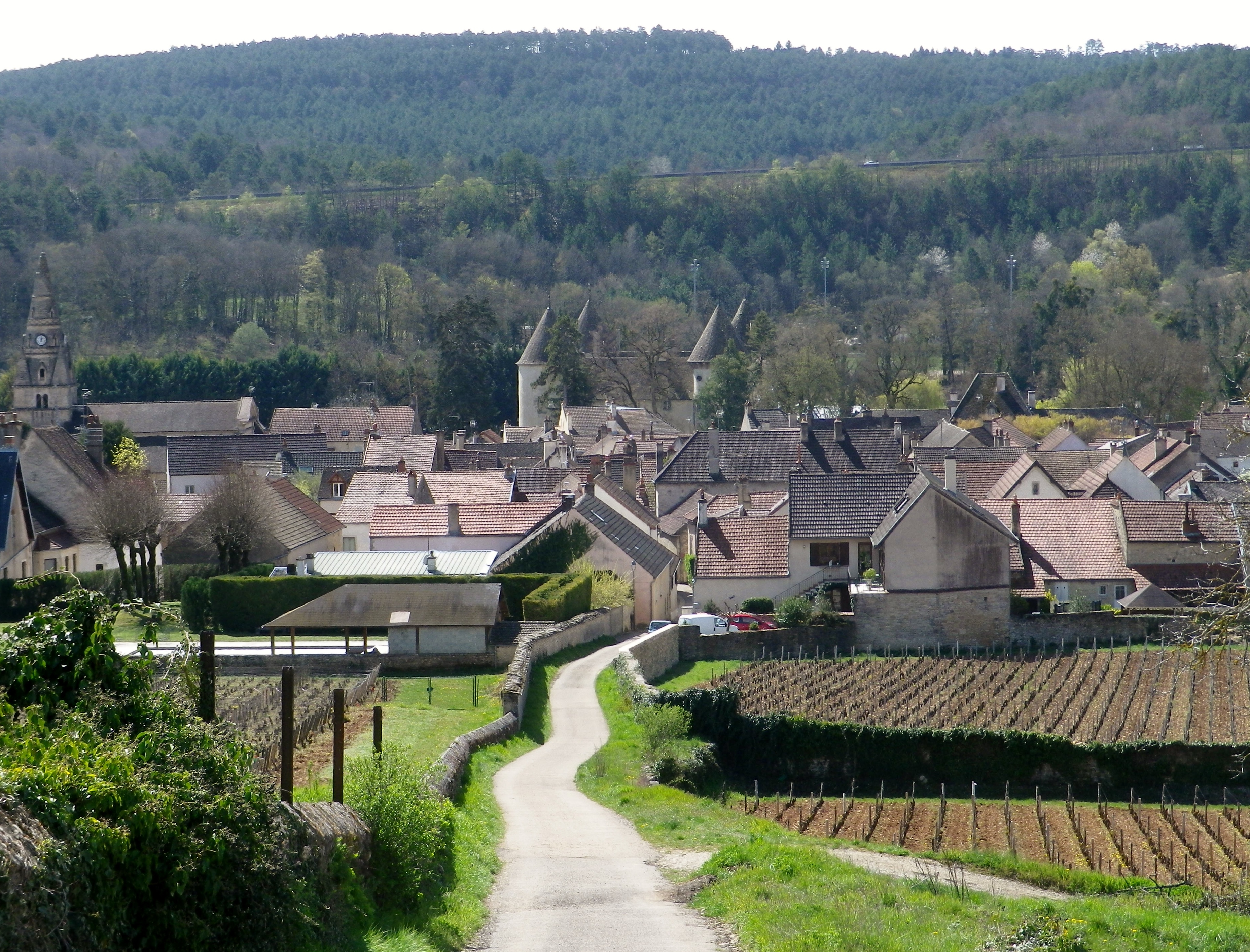
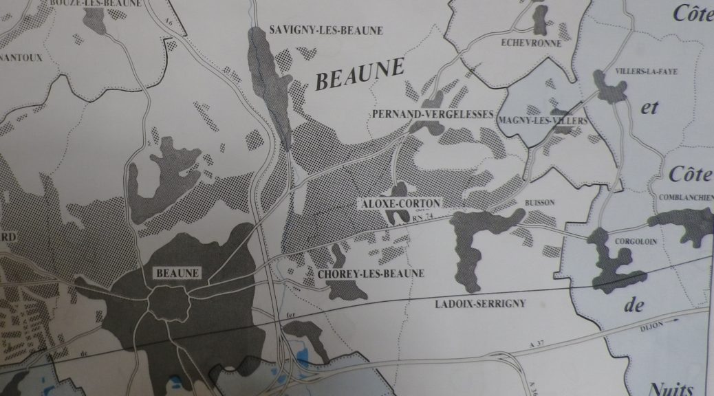
Savigny-les-Beaune, as its full name indicates, is located near Beaune, the main hub of the Cote de Beaune wine district. Like Beaune, this small town has its own appellation, covering both red (Pinot Noir) and white (Chardonnay) wines. It is in a beautiful setting. The village essentially follows along a narrow river valley, backed by high hills, and surrounded by forests and vineyards. While most visitors search for the wine, I wanted to explore the town’s vineyards and forests, as well as savor the quaint corners of the historical center.
The first sensation to hit me, aside from the bucolic scenery, was the soft scent of pine. After passing through the outskirts of town, the trail passes through a wooded area made up of many pine trees. It was an aromatic climb uphill, as I breathed deeply of the forest scents. Pines do well in poorer soils, as do vines, which appeared as soon as I crested the hill.
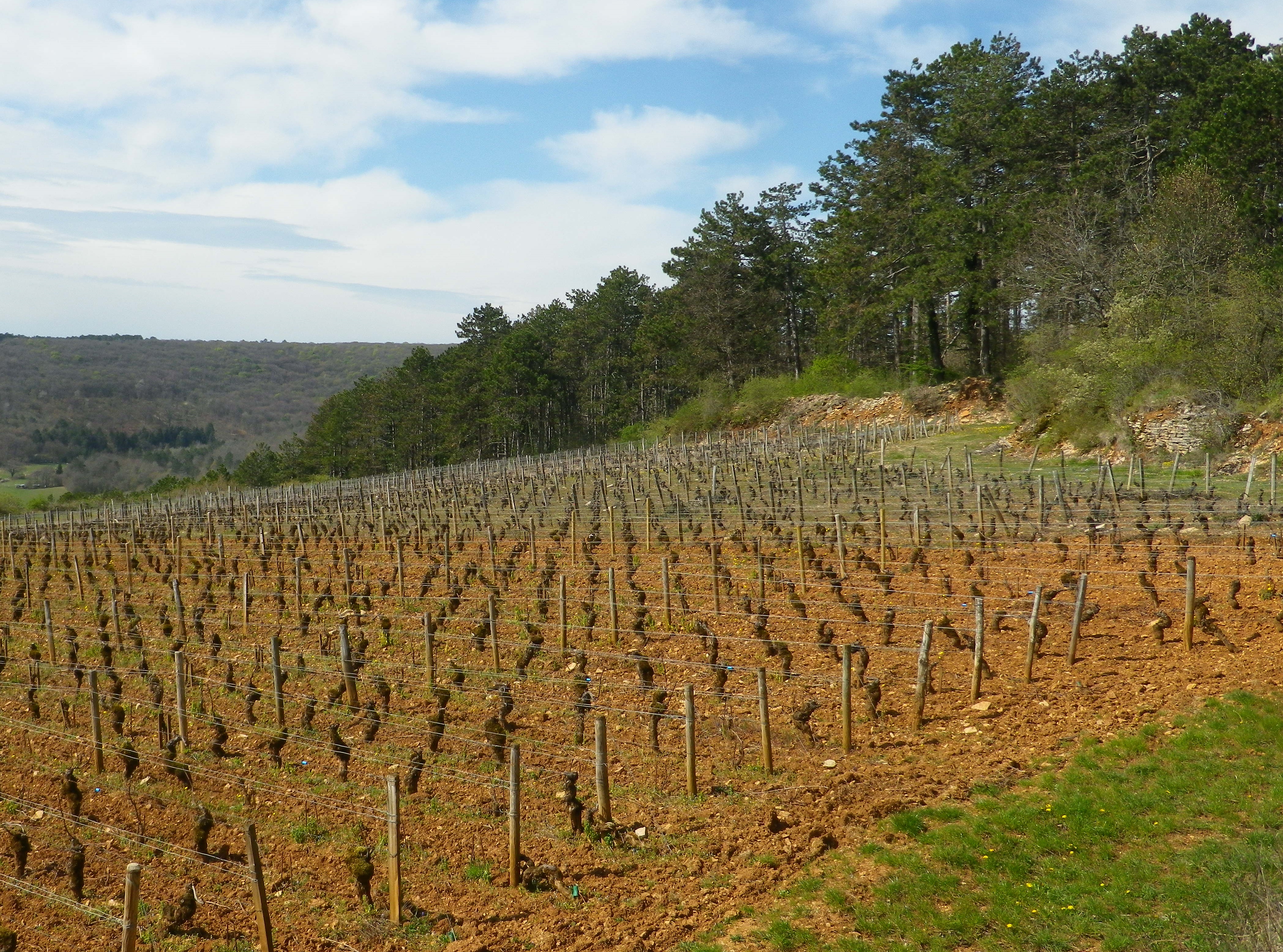
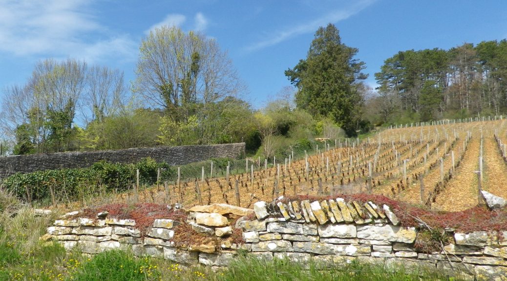
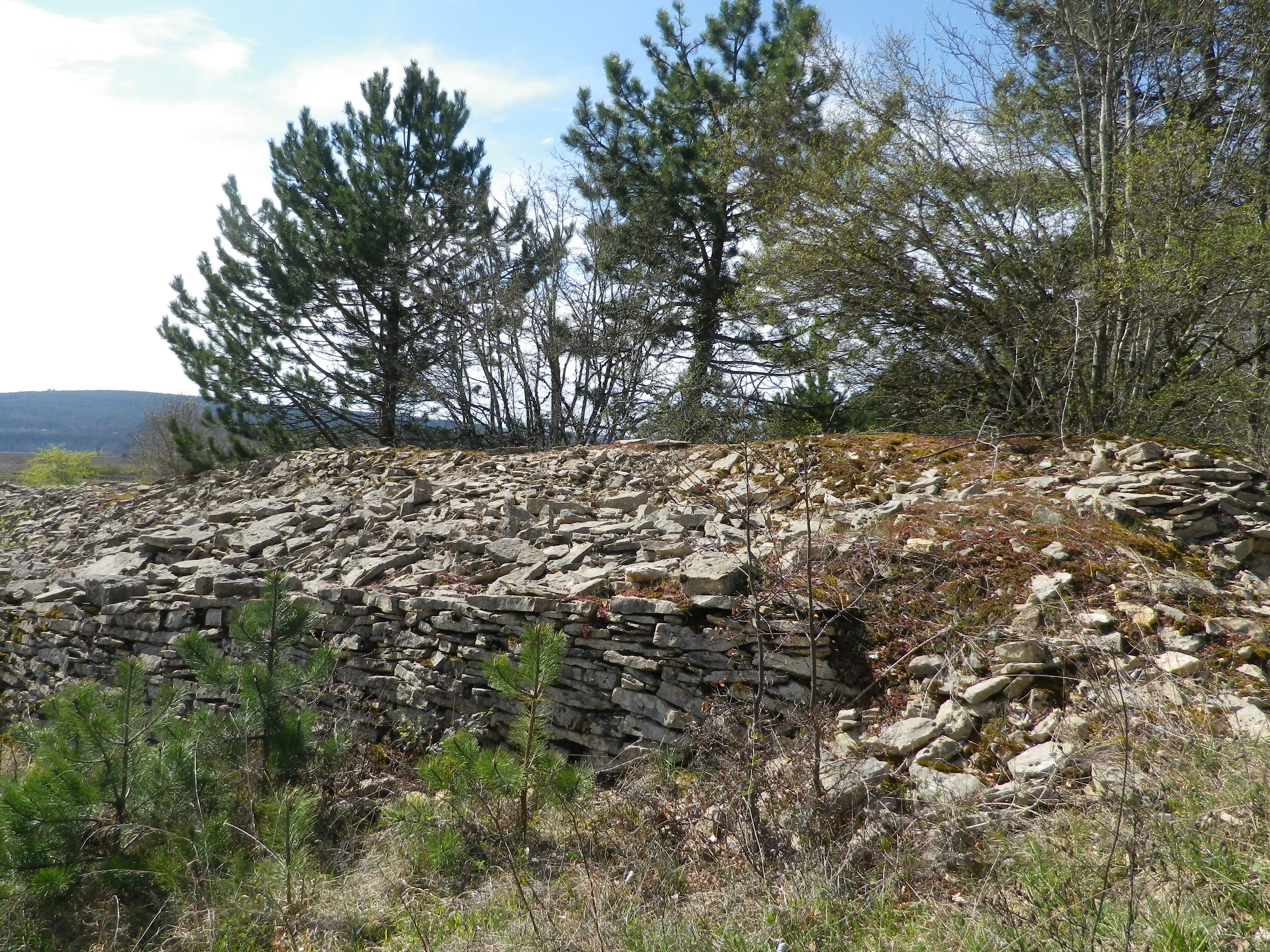
Chunks of limestone dotted the reddish soil surrounding the vines. Limestone is a prominent feature in the soil here. So much so that the rocks pulled from the soil are often piled together. Called “murgers,” these piles represent the backbreaking work of the vintners. Along much of this section of the trail, murgers would appear, the new serving as breaks between vines, and the old slyly hiding under a thick growth of vegetation in thickets and copses.
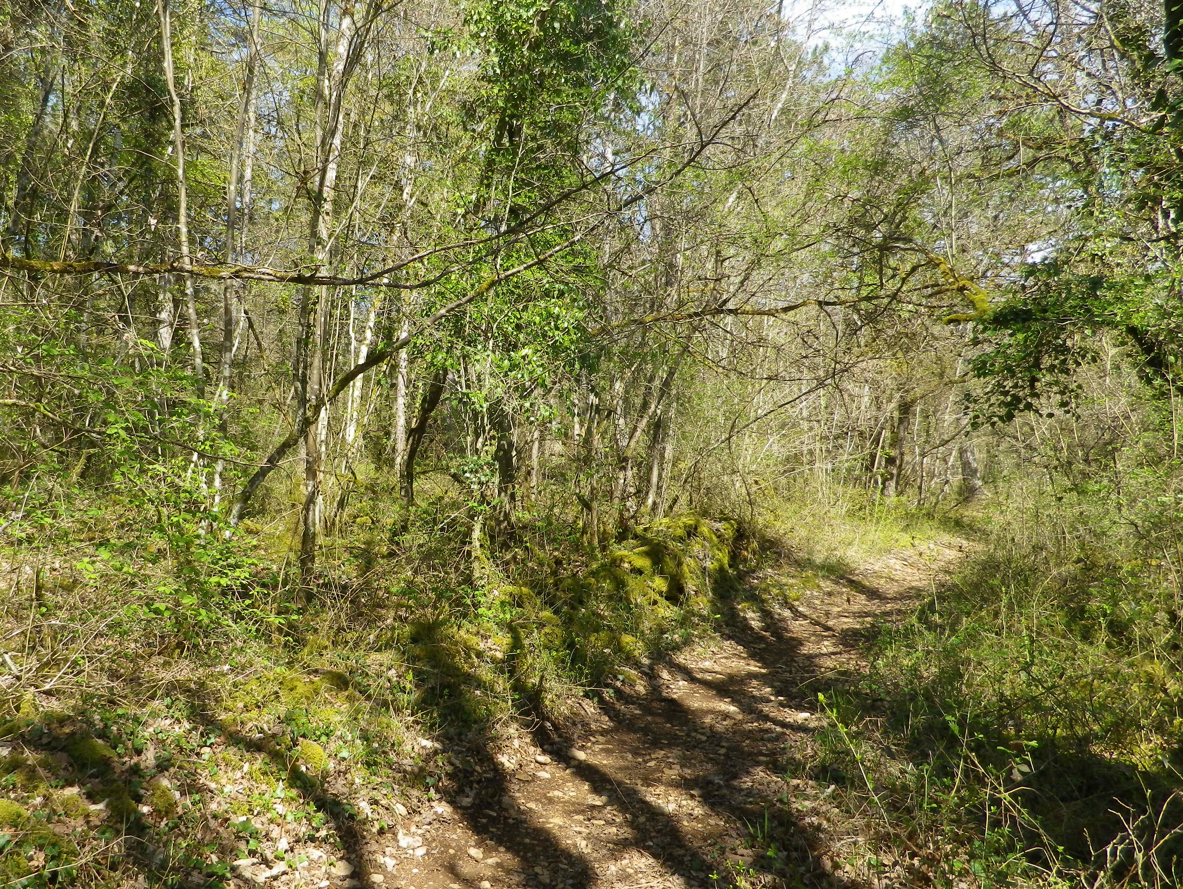
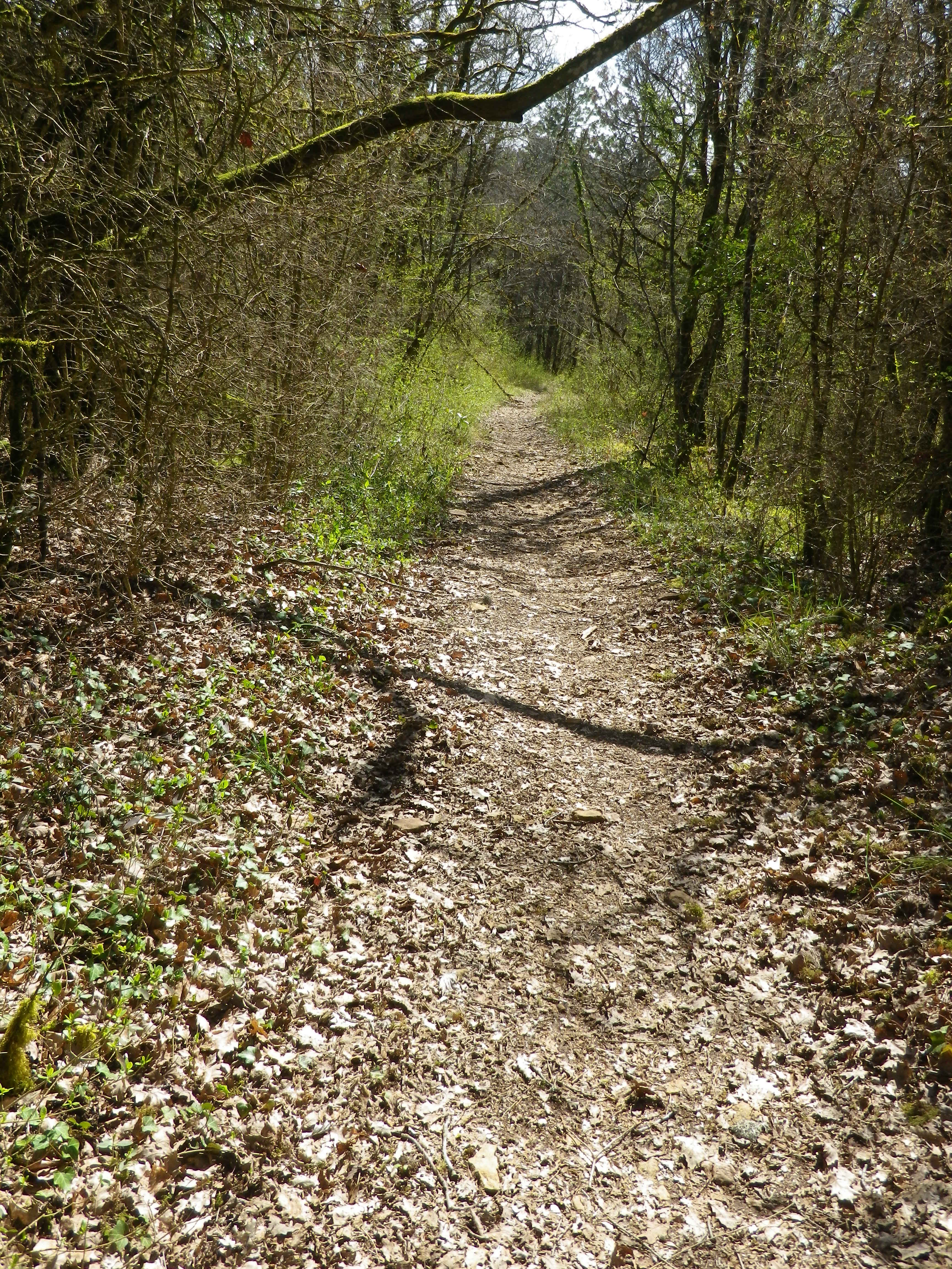
Following the passage through vineyards, a long descent through woodland ensued. The trail was rougher, but evidently well used. The shady interlude was greatly appreciated. It terminated in a “combe” a narrow valley not defined by a river. There are many combes in Burgundy, and they are well marked on maps.
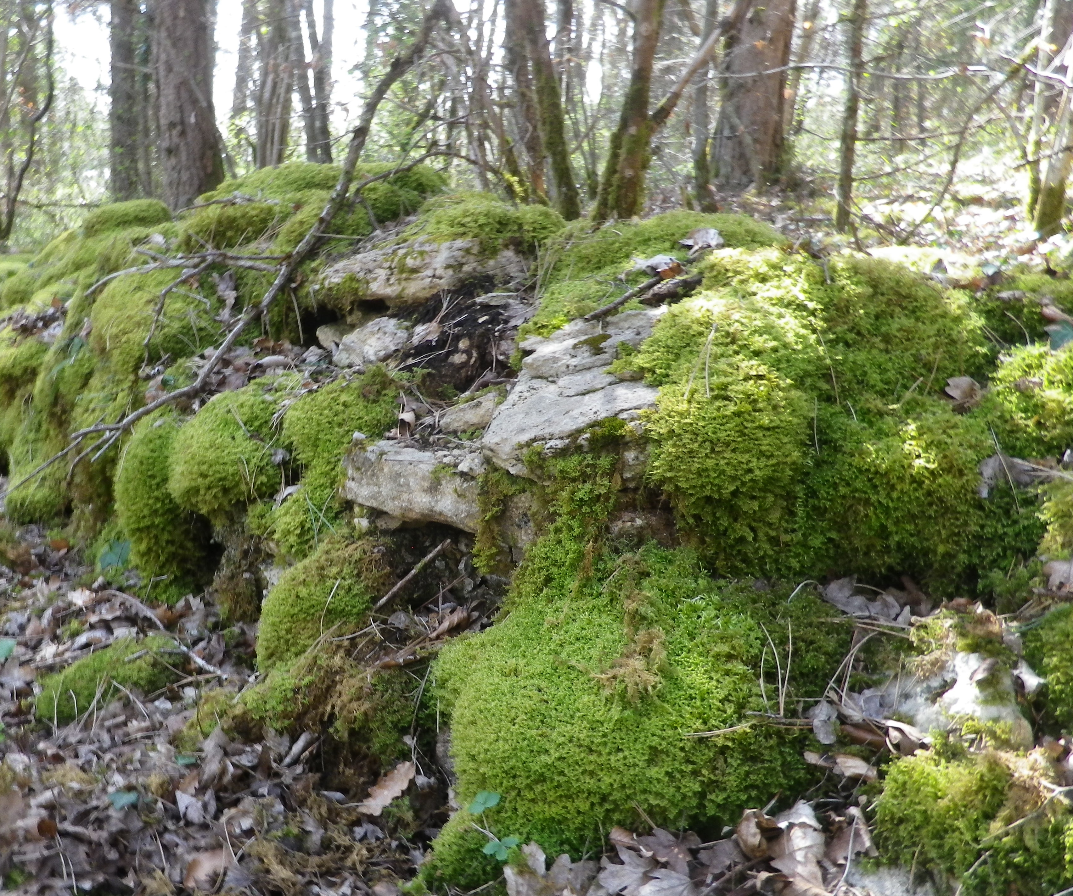
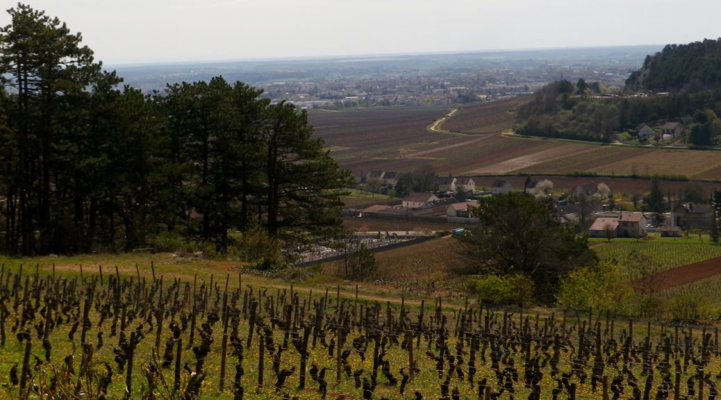
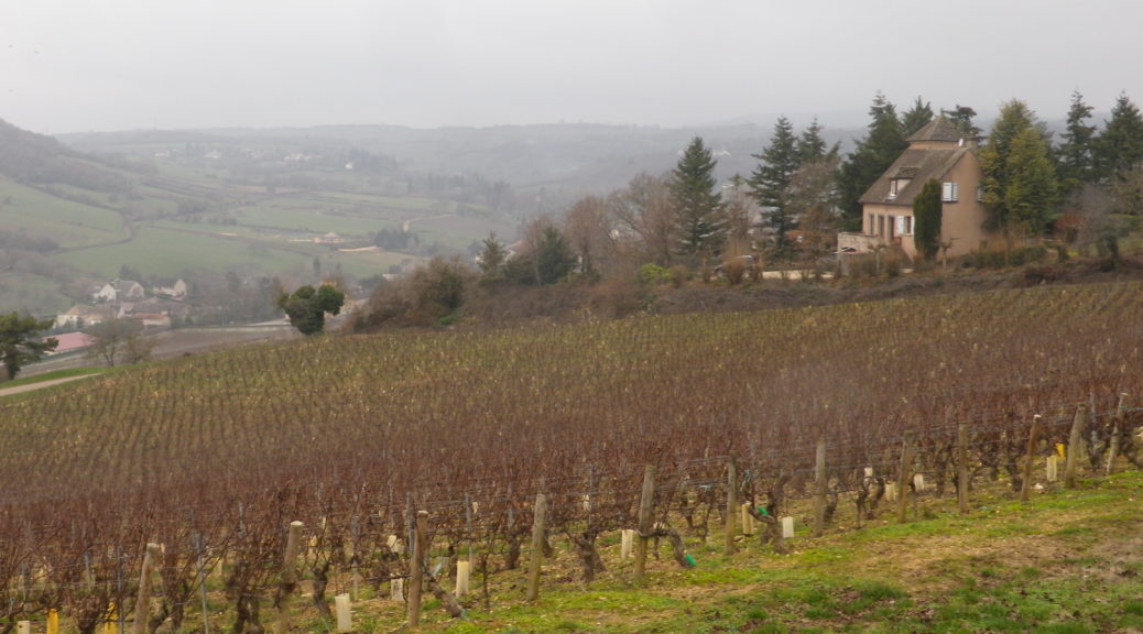
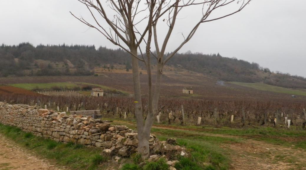
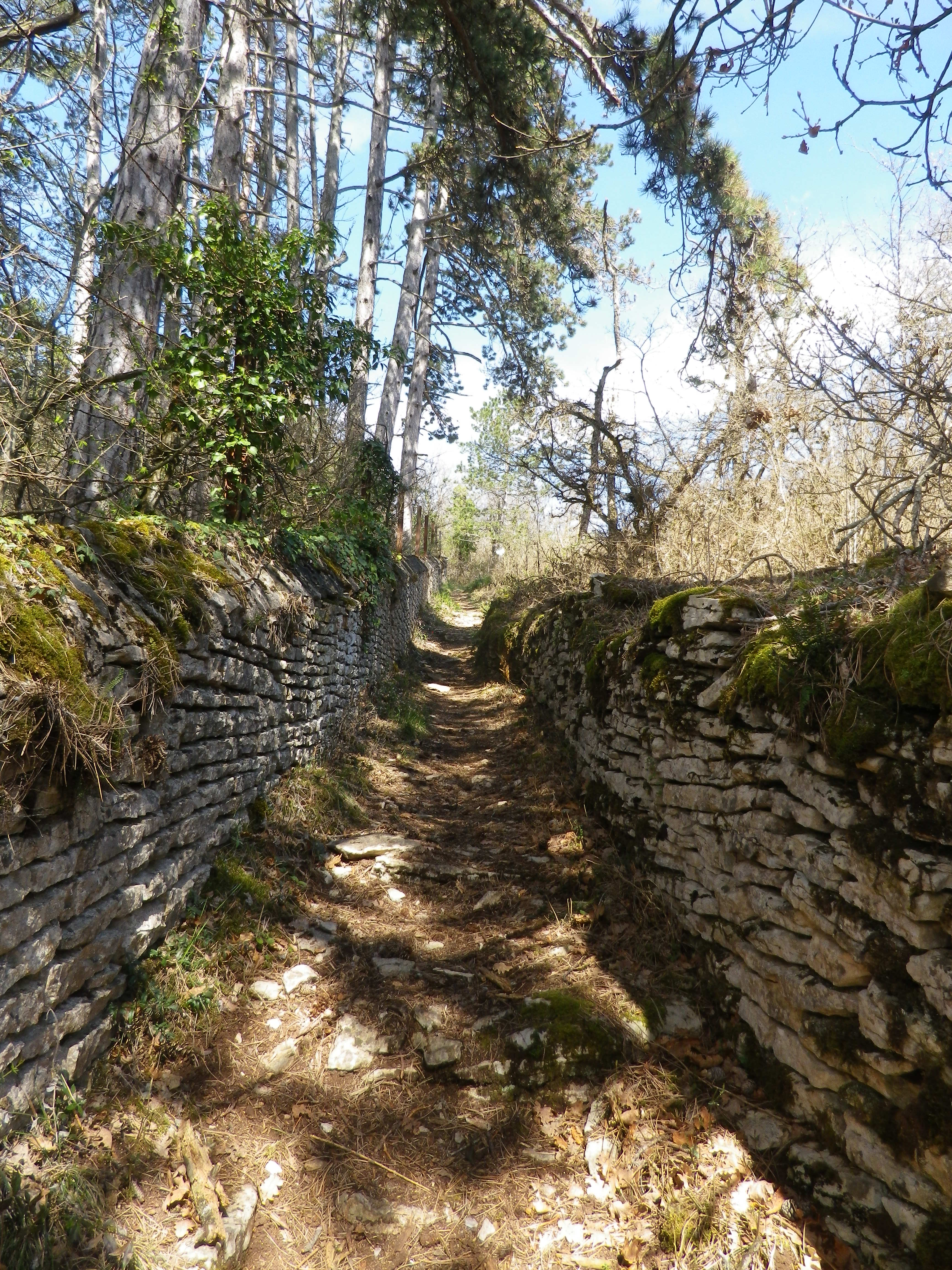
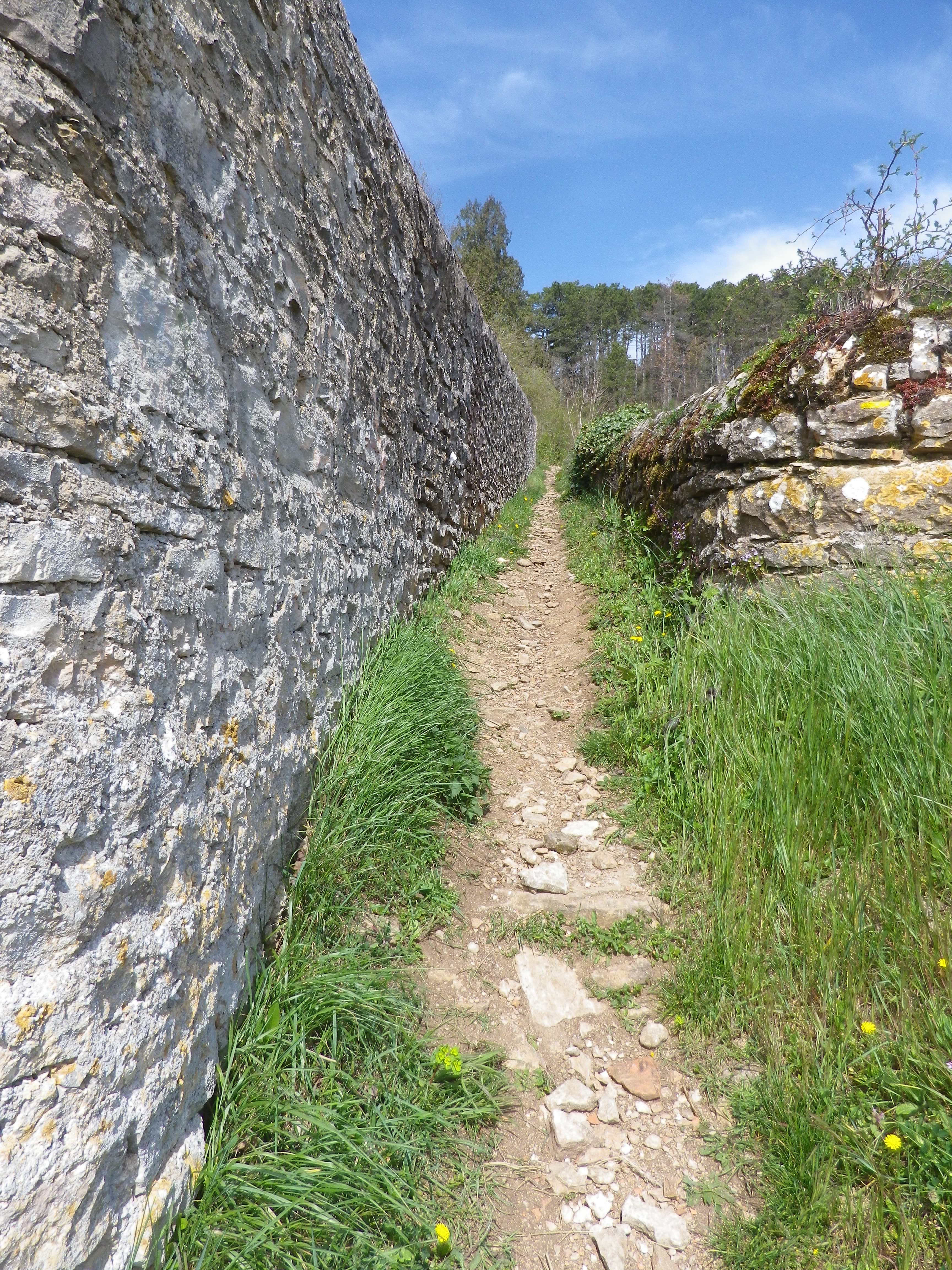
Upon leaving the combe, the trail headed uphill through more vineyards. In fact, from the top of the climb, the amazing sight of acres and acres of vineyards spread out below me, south and east, all the way to Beaune. (See the feature photo at the top.) The Cotes de Beaune is no less impressive than the Cotes de Nuits when it comes to the sheer numbers of vines planted on the famous slopes of the Cote d’Or. The trail headed downhill. It twisted and turned as it threaded its way through the woods, carefully inscribed between moss-covered limestone walls. Treasures as yet unseen lay behind these walls.
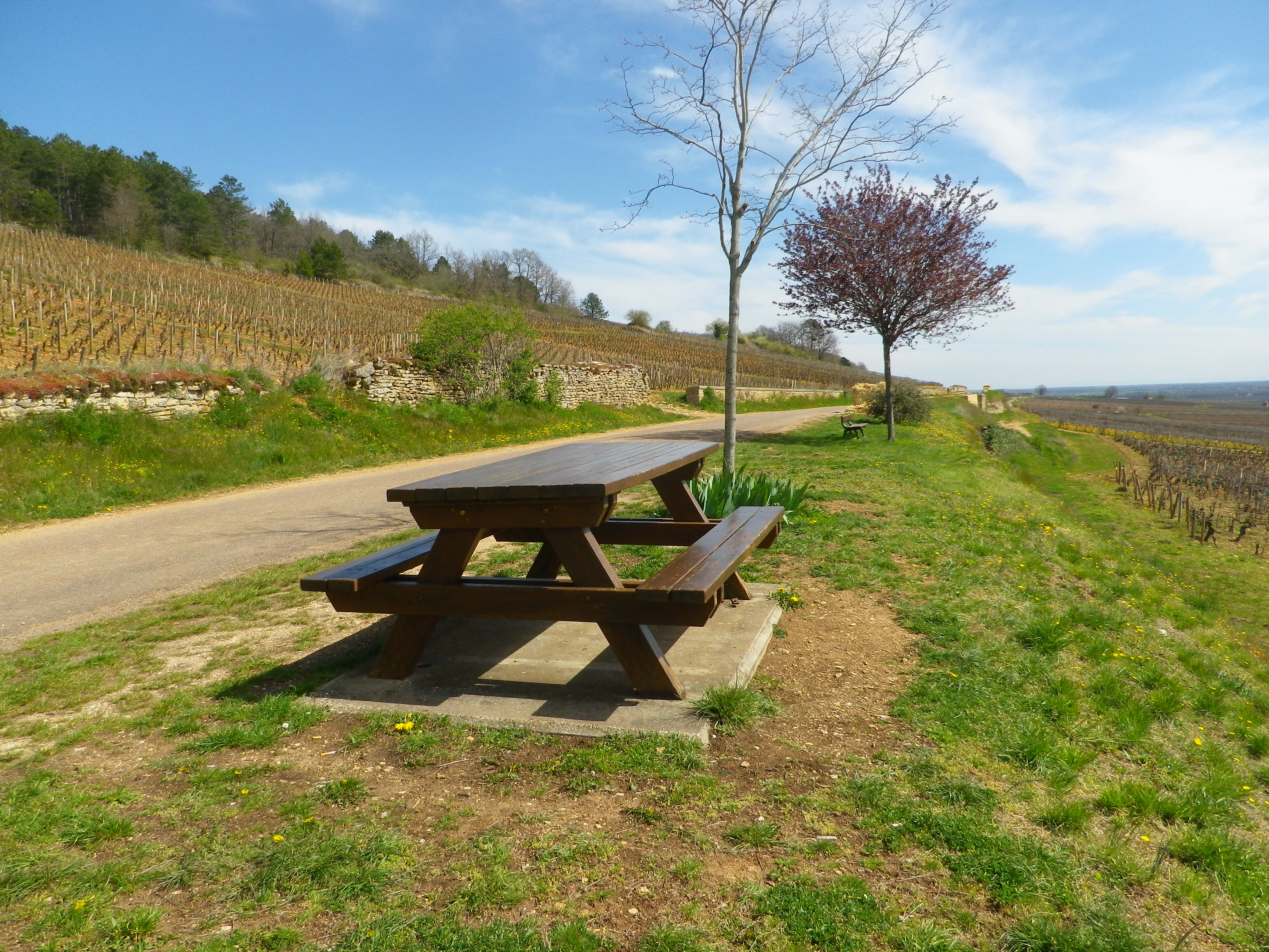
What lies behind the walls is evident only upon reaching the wide agricultural road at mid-slope. I turned around to discover that on this partially wooded slope lies the vast majority of the town’s Premier Cru: Aux Serpentieres, Petits Godeaux, Aux Gravains. Further down the slope, I could see many lieux-dit, named parcels, like the Aux Grands Liards parcel. The grapes here made up the village appellation wines. Someone thoughtfully stationed a picnic table overlooking the town’s glorious vineyards. But I pressed on…
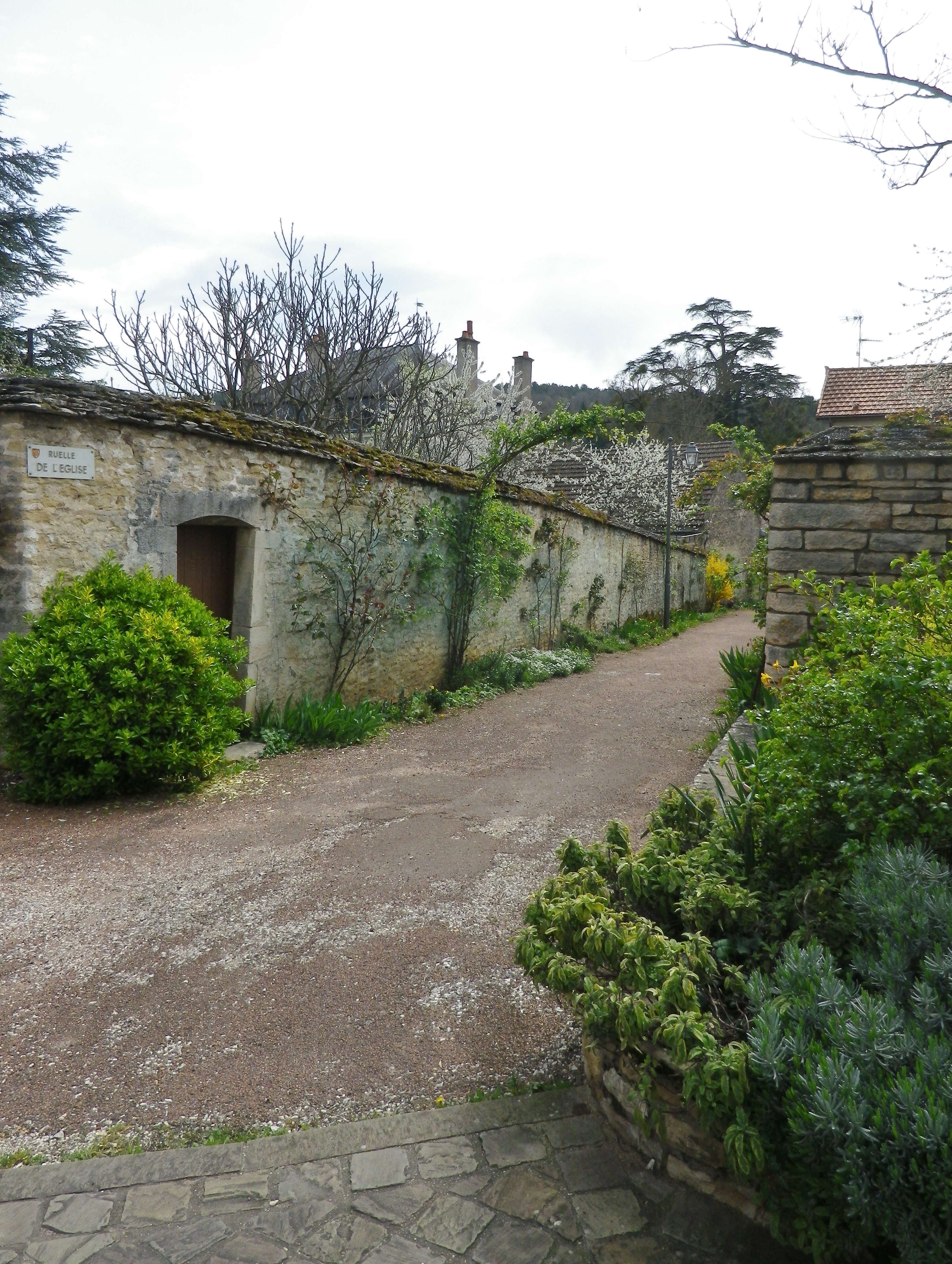
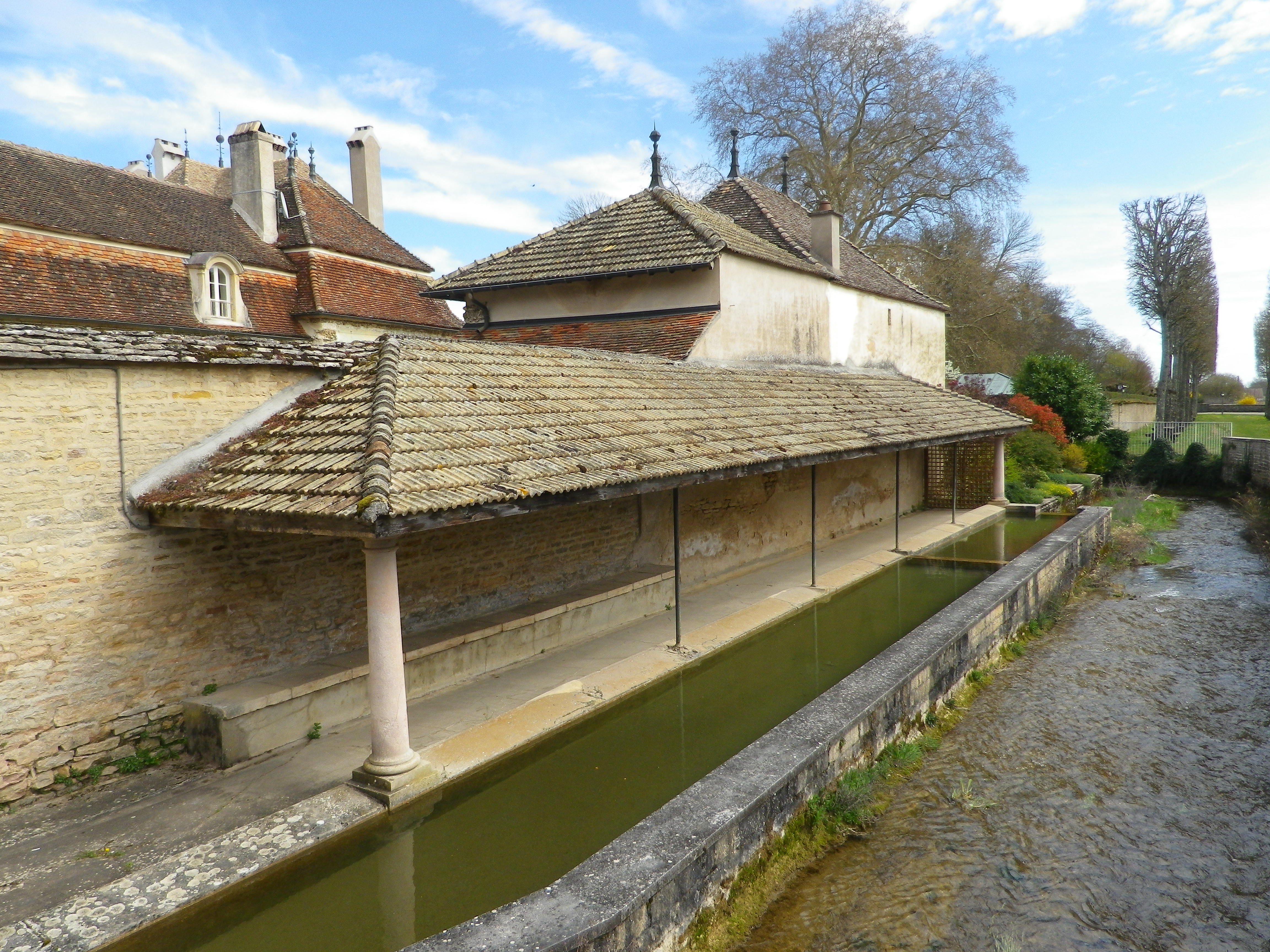
Soon after that, I came back into town. Homes and caves all constructed in limestone line the narrow lanes, ghostly white and just as quiet in the afternoon sun. The sound of a small river announced the Rhoin. An old washhouse, lined the northern bank. Every town in Burgundy seems to have one, and this one is was located just outside the castle gates.
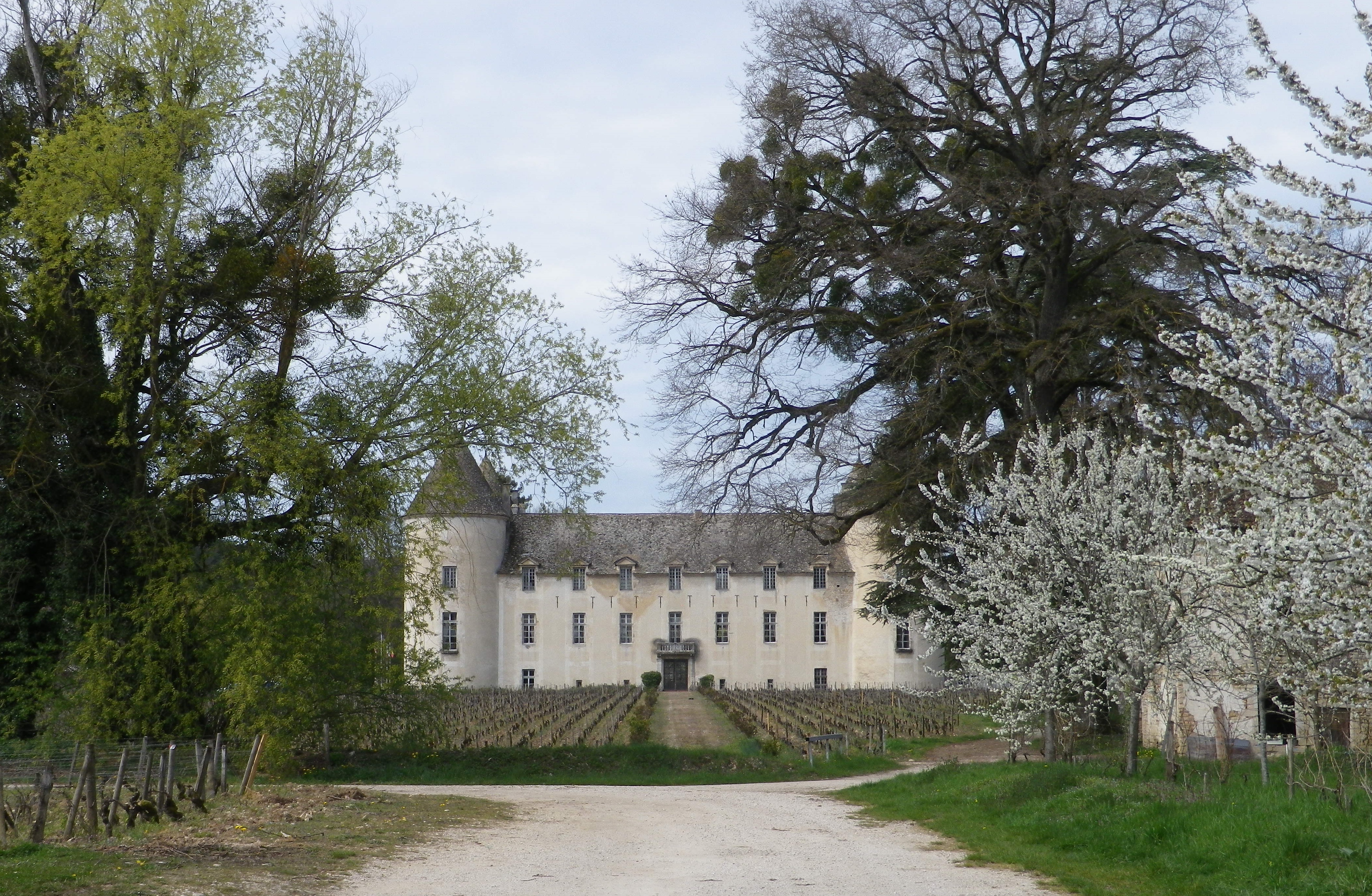
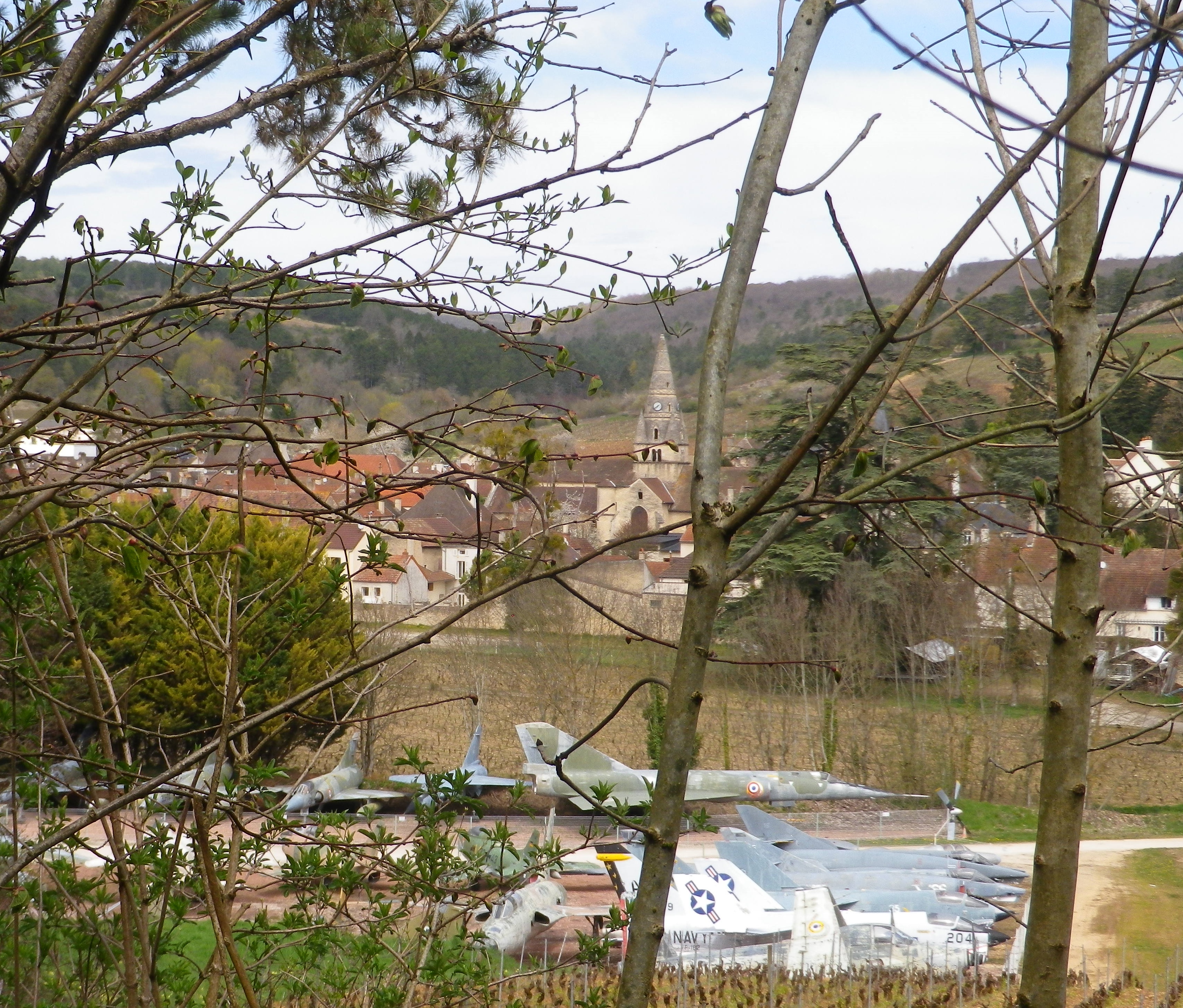
The Chateau de Savigny is many things. A winery, an historical site, a museum site with eclectic collections, including, but not limited to, displays on wine-making, motorcycles, old cars, and old fighter jets. Some of the last are visible from the trail, as it circles around the south side of town, back to the official start. Not something ordinarily seen on a vineyard trail! This final leg comes with another ascent, more vineyards, a delightful section of forest, and descent followed by a short meander along the Rhoin, providing a musical interlude.
Many people use Beaune as a staging point for visits to the nearby wine villages. But however good her wineries may be, Savigny, like so many other villages of the Cote de Beaune, must be savored with more than just a cursory tour of its wineries.
Wine Notes: Cotes de Beaune Savigny
What I Learned
The Burgundian wine region known as the Cote d’Or has a northern section and a southern section. Cote de Beaune is the name of the southern section. This part of the Cote d’Or famously produces some of the most esteemed white wines in the world, in addition to some very good red wines, which is the reverse of the northern section known as the Cotes de Nuits.
The Cote de Beaune is generally speaking more famous for its white wines, such as those from the crus in Meursault, or Puligny-Montrachet or Chassagne-Montrachet. However, Savigny-les-Beaune is known primarily for its red wines. Like Pommard, a bit further south in the same district, and also well-known for its reds, Savigny lies at the mouth of a transversal valley. This type of valley, formed by the Rhoin River in Savigny, crosses a crestline, the Cote d’Or, at right angles. Hence in Savigny, this means a narrow, fairly protected valley with steep sides, with west- and south-facing vineyards, ideal for vines.
While there are no Grand Cru in Savigny, there are just over 20 Premier Cru, perhaps the most well-known being Aux Vergelesses, at the border of the neighboring town Pernand-Vergelesses. The village has its own Village Appellation, Savigny-les-Beaune Controlee, as well as its Premier Cru Appellations, for both red and white wines.
The Pinot Noir wines of Savigny-les-Beaune have good aging potential. (In fact, one bottle I had purchased then stored, I only got around to drinking 11 years later, and found it soft, and rich in flavors and mouthfeel.) In any event, the wines in Savigny are good, representative Pinot Noir and Chardonnay wines, with as good a price-to-quality ratio as a wine lover is likely to find anywhere along the Cote d’Or.
What I Tasted
2014 Pinot Noir, Aux Grands Liards, Appellation Savigny-les-Beaune Controlee, Domaine Giboulot (Savigny): A dry red wine with medium red brick color; a floral and peppery spice nose, with forward flavors of vanilla, oak and red cherry flavors; medium tannins.
2008 Pinot Noir, Savigny-les-Beaune, Appellation Savigny-les-Beaune Controlee, Domaine Andre Morey: A dry red wine with medium plus brick red color; a nose of spice and light tobacco; flavors of vanilla, slight fruit, and a hint of herbaceousness; medium tannins. (Consumed in 2019!)
2007 Pinot Noir, Savigny-les-Beaune, Appellation Savigny-les-Beaune Controlee, Domaine du Chateau de Meursault: A dry red wine with light medium ruby red color; slight red berry and spice nose, with flavors of the same; medium plus tannins.
2006 Pinot Noir, Aux Clous, Appellation Savigny-les Beaune Premier Cru Controlee, Pierre Andre: A dry red wine with medium plus ruby red color; spice, red berry and wood nose, with stewed red berries and spice flavors; high minus tannins.
Chemin des Vignes: Trail in a Nutshell
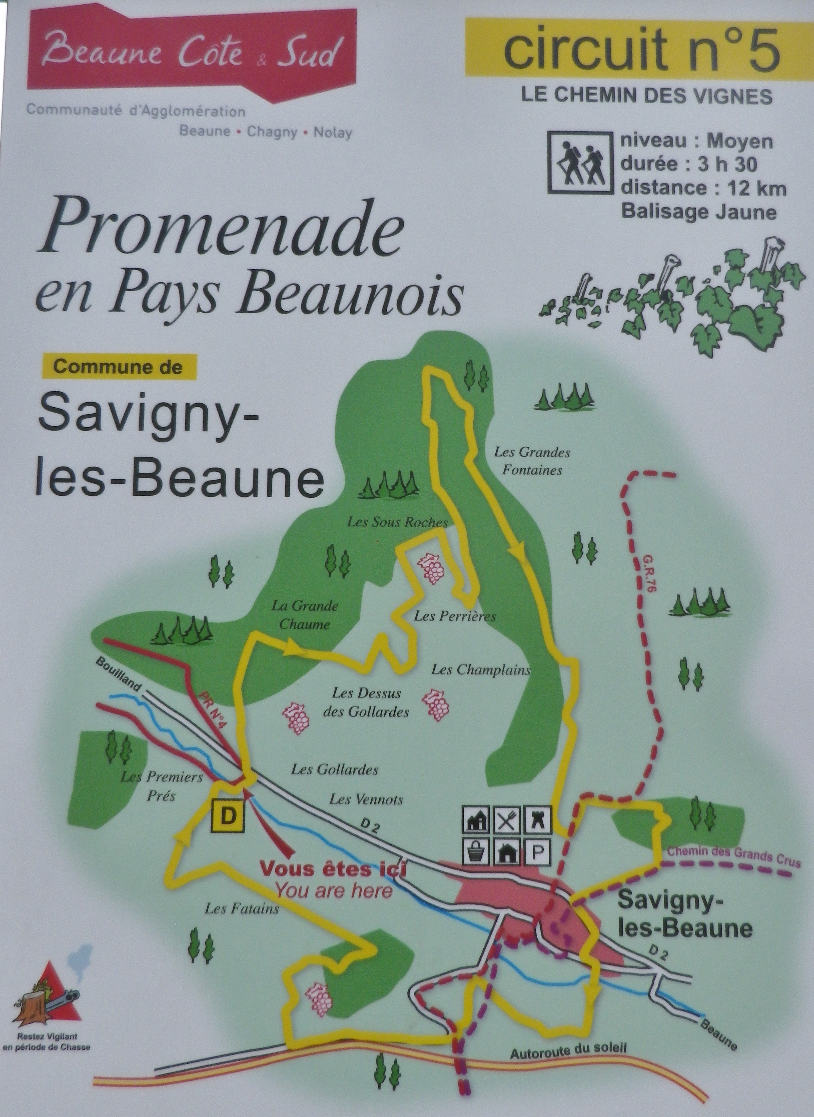
Trail Name: Chemin des Vignes (AKA : Circuit 5)
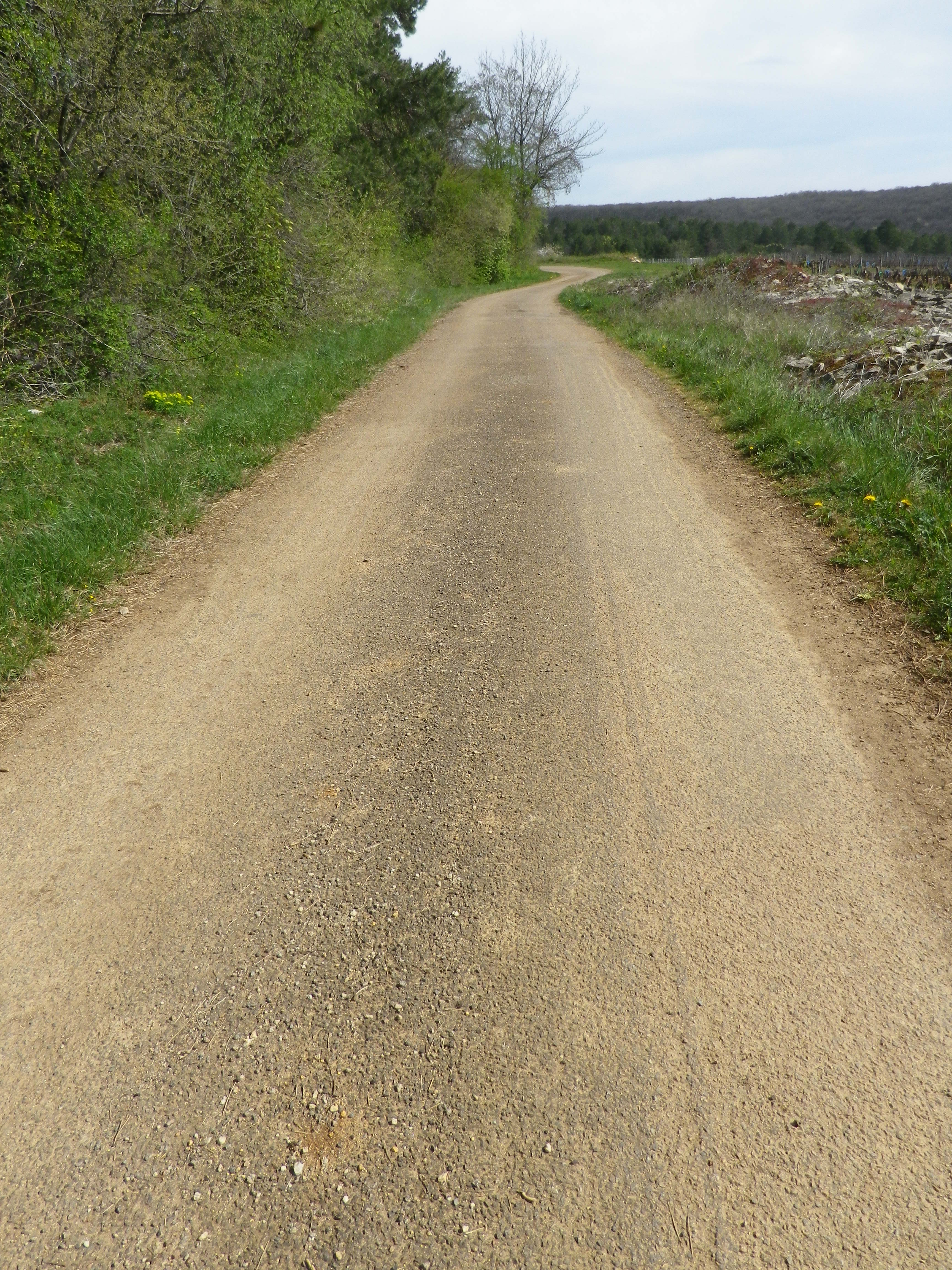
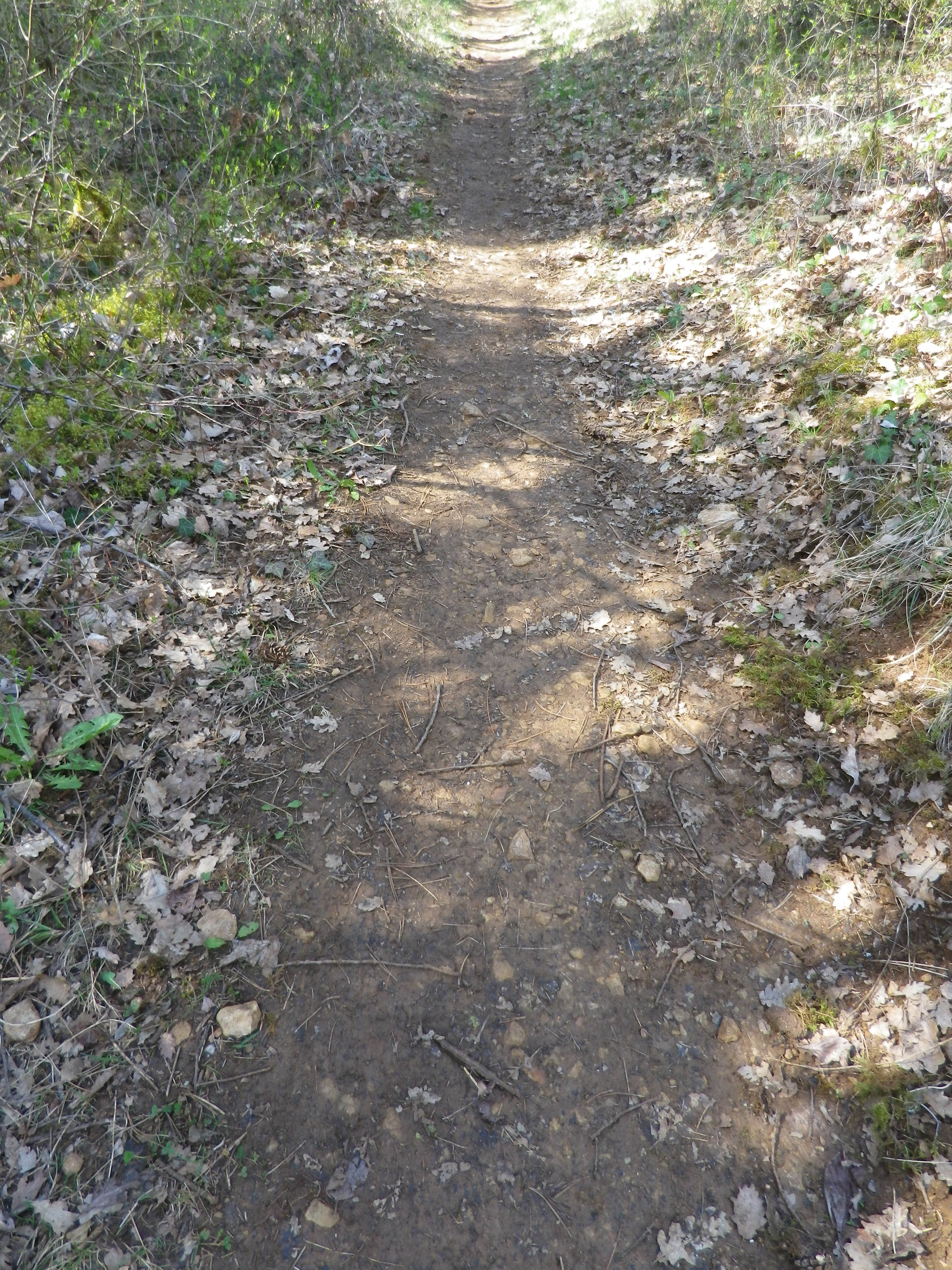
Trail Type: Mid-distance circuit; well-maintained and with a variety of surfaces from rough and scree to tarmac. While trail-specific signage can vary (see below), overall marking on the trail is rather good.
Length:
Total – 11.5 kilometers/7 miles
Convenient to: Beaune, France
Marking:
Painted yellow bar(s) indicating trail and/or direction, and sometimes a yellow number 5; the occasional yellow sign with a black number 5 on it; yellow signs on posts with black letters indicating PR 5.
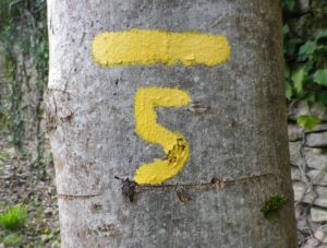
Trail Description: This trail has a great variety of terrain, elevation, scenery, and flora, all along a relatively easy circuit trail that circles the small town of Savigny-les Beaune and its well-known vineyards.
Trailhead:
Official: Savigny-les-Beaune, Rue des Chanterives
Alternate: Rue General Leclerc x Rue Soeur Gaby
Parking:
Savigny-les-Beaune: Rue des Chanterives x Route de Bouilland/D2(opposite camping site)
Savigny-les-Beaune: Limited parking along the street of Rue General Leclerc
Public Transportation Options:
Bus: The Cote&Bus company runs Line 10 round-trip from Beaune to Savigny-les-Beaune. It appears to service a school route, as well as commuters into Beaune, so be sure to check the website (www.coteetbus.fr) for changes or required reservations.
Rail: Nearest rail service is in nearby Beaune
Suggested Stages: Not applicable
Trail Itinerary-Reference Points: (North-South/Clockwise)
Savigny-les-Beaune: Chemin des Vermots, also seen on some maps as Chemin de la Grande Chaume, right onto a straight trail through woods all uphill, vineyards, then a long stretch through forest; Cross Chemin de Citeaux, along the Combe de Barboron (a vale), follow R du Jarron about 150 meters uphill, turn right through vines, then forest; downhill between walls to picnic table, downhill on the agricultural road/C7; Savigny-les-Beaune: southeast on R Dr. Guyot/D2, R des Porches, R Soeur Gaby, cross the creek and continue straight onto a grass path), past sports fields (fighter jet collection on the right), R des Combattants, R Chanoine Donin-Chemin des Carrieres, parallel the highway for about 400 meters; through forest; downhill on R des Fatains, R des Petites Chanterives
Representative Trail Photos:
Restrooms:
None observed!
Attractions on or near Trail:
Chateau de Savigny has a museum with collections pertaining to wine and agricultural vehicles, as well as Abarth racing vehicles and fighter jets.
Tasting along the Trail:
Several wineries in town, and at the chateau.
Alternative Options:
Hiking: Beaune has several hikes around its vineyards, just south of Savigny. For an idea of one of them, see the Nutshell here. See others at http://www.beaune-rando-vigne.com/fr/circuits-vignoble-beaune/
Biking: Veloroute Voie des Vignes, an approximately 30-kilometer-long trail from Beaune to Santenay to Nolay, mostly on dedicated bike path!
Additional Information:
Regional: https://www.beaune-tourism.com/
Trail specific: https://www.beaune-tourism.com/ideas-for-round-trips/circuit-5-the-chemin-des-vignes-vine-route-615157
Comments:
A great hike for even people only moderately in shape, in an unspoiled Cote de Beaune wine village.
In the Drome – Provencale
Walking through the garrigue, only a few meters away from the Vaucluse, with views of the Baronnies Provencales National Park, with its arid landscape, surrounded by vines producing Cotes du Rhone wine, you could be forgiven for thinking you were in Provence.
Instead, I was in the Drome Provencale, in Saint Pantaleon-Les Vignes, to be exact. A wine-themed trail developed in association with the local cooperative, the Vignerons de Valleon, runs through and around the village. While the trail begins in the village, itself on the border with the Vaucluse, it soon enters vineyards. Not surprising as the village has the word “vines” in its name.
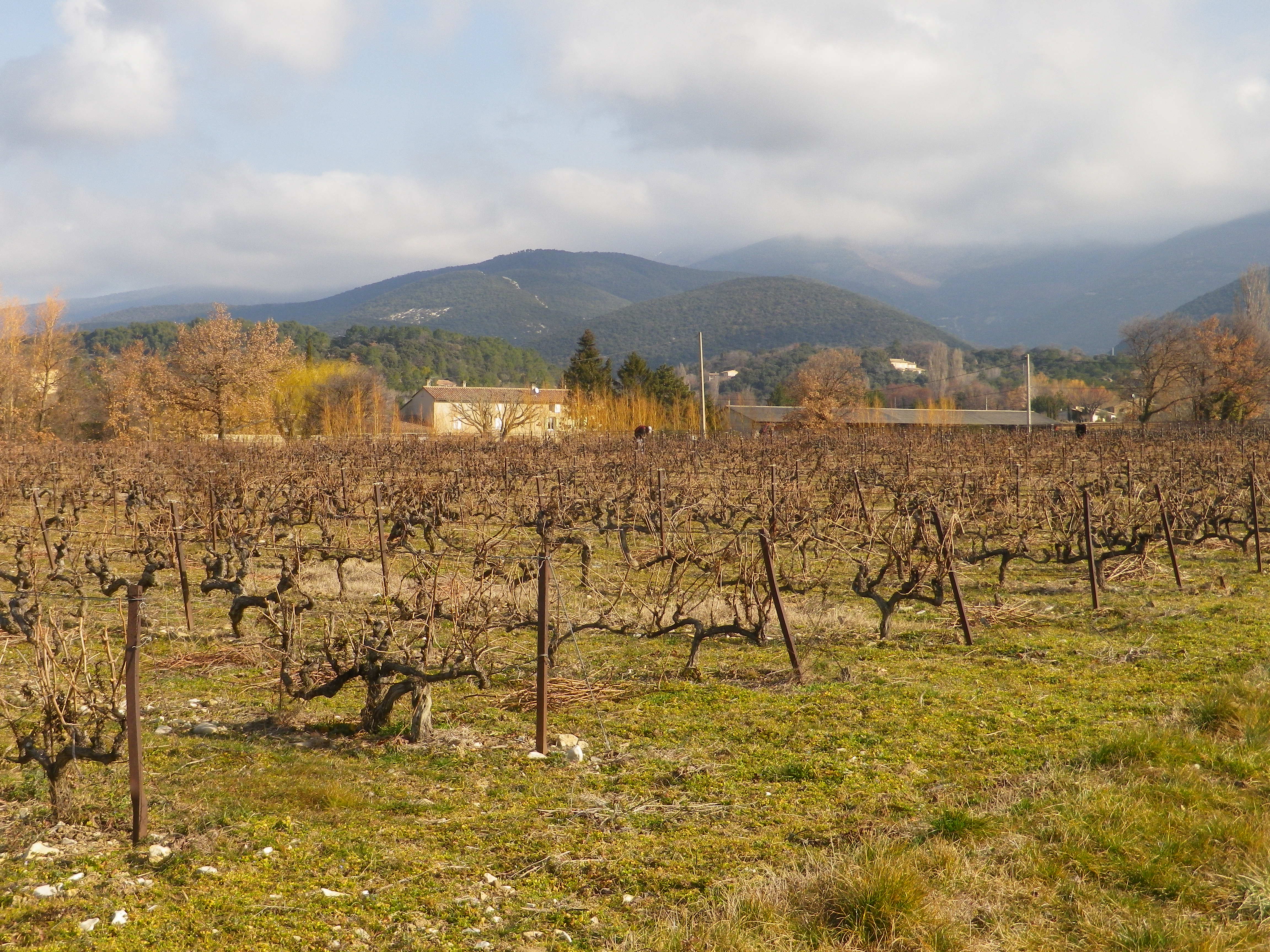
Saint Pantaleon is one of the 16 or so villages dedicated to producing some of the best Cotes du Rhone red wines there are. The village wines may carry the appellation name Cotes du Rhone Village and its own name on its bottles, a signal honor indeed. No doubt they had plenty of practice. In 900s, it was officially cited as having vineyards, although at that point, viticulture was probably close to a thousand years old in the area. Proud of their history, there is a wine education trail along part of the trail apparently identified by number bottles (but I lacked the brochure/key to what it all meant).
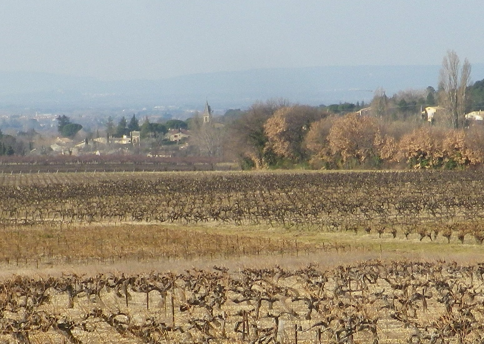
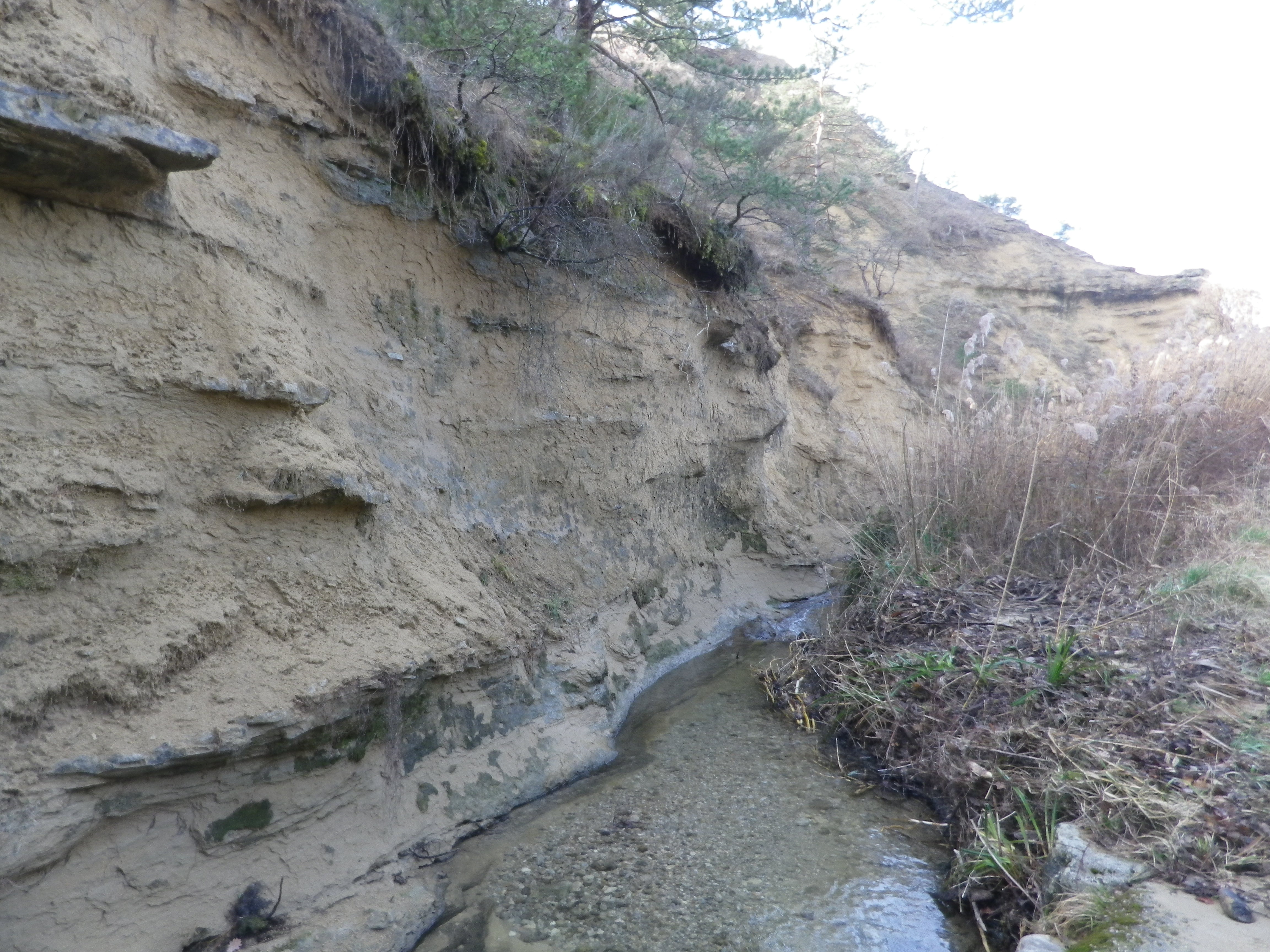
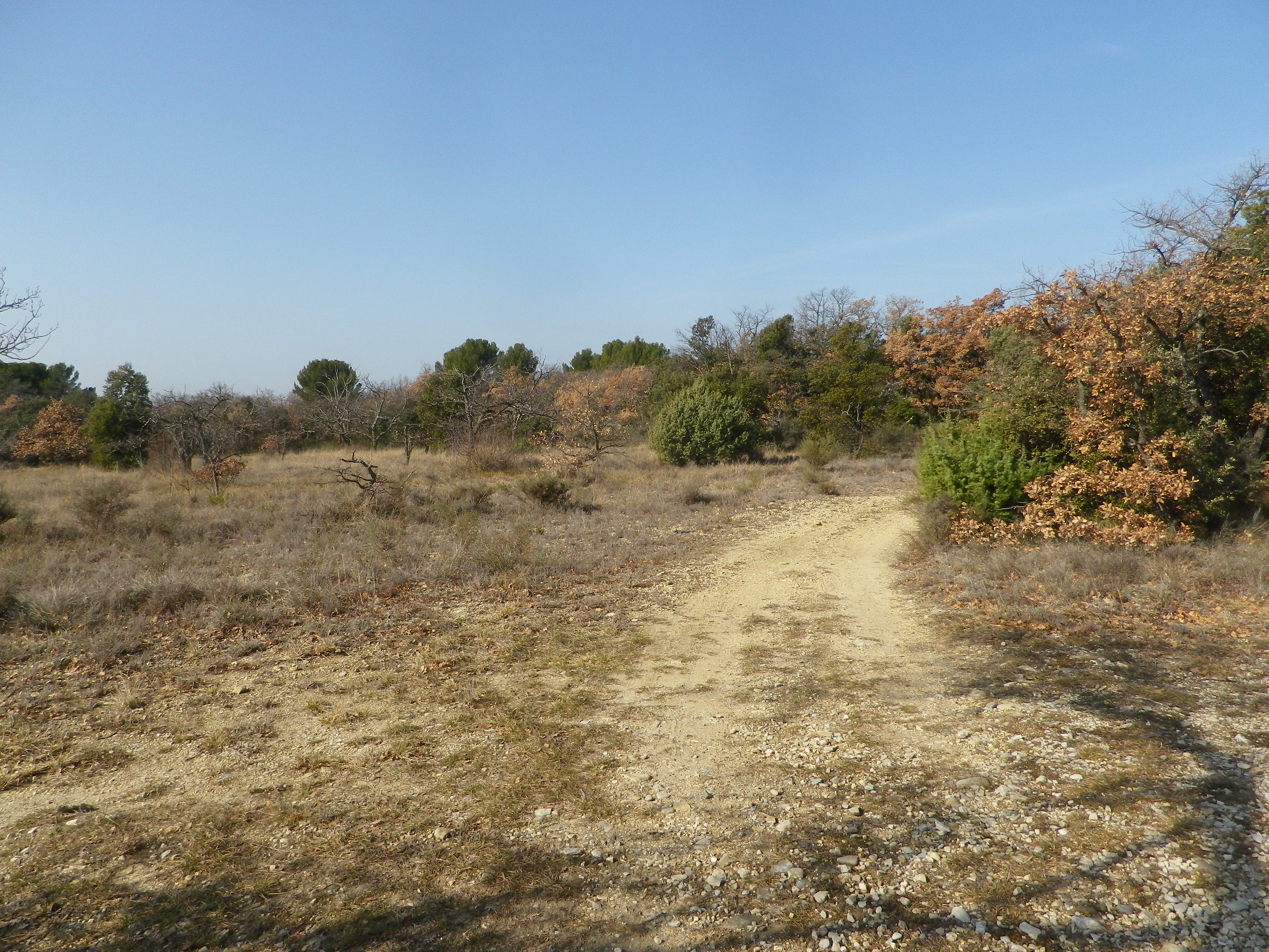
At a cluster of farmsteads, passing several palm trees slightly swaying in a warm February breeze, the trail began to lead to different terrain. A different, wilder, landscape begins to appear. After passing through the hamlet on the other side of the main road, the trail leads to a ravine. The exposed bank showed a mix of sand, clay and pebbles, mostly limestone, it seemed. So, this is what the vines grew in! Fortunately, it had not rained for a while. The small stream ran swiftly along its base, and judging from the gravel and rocks on the trail, it ferociously overran its banks on occasion. Picking my way over the rubble, I followed the trail uphill.
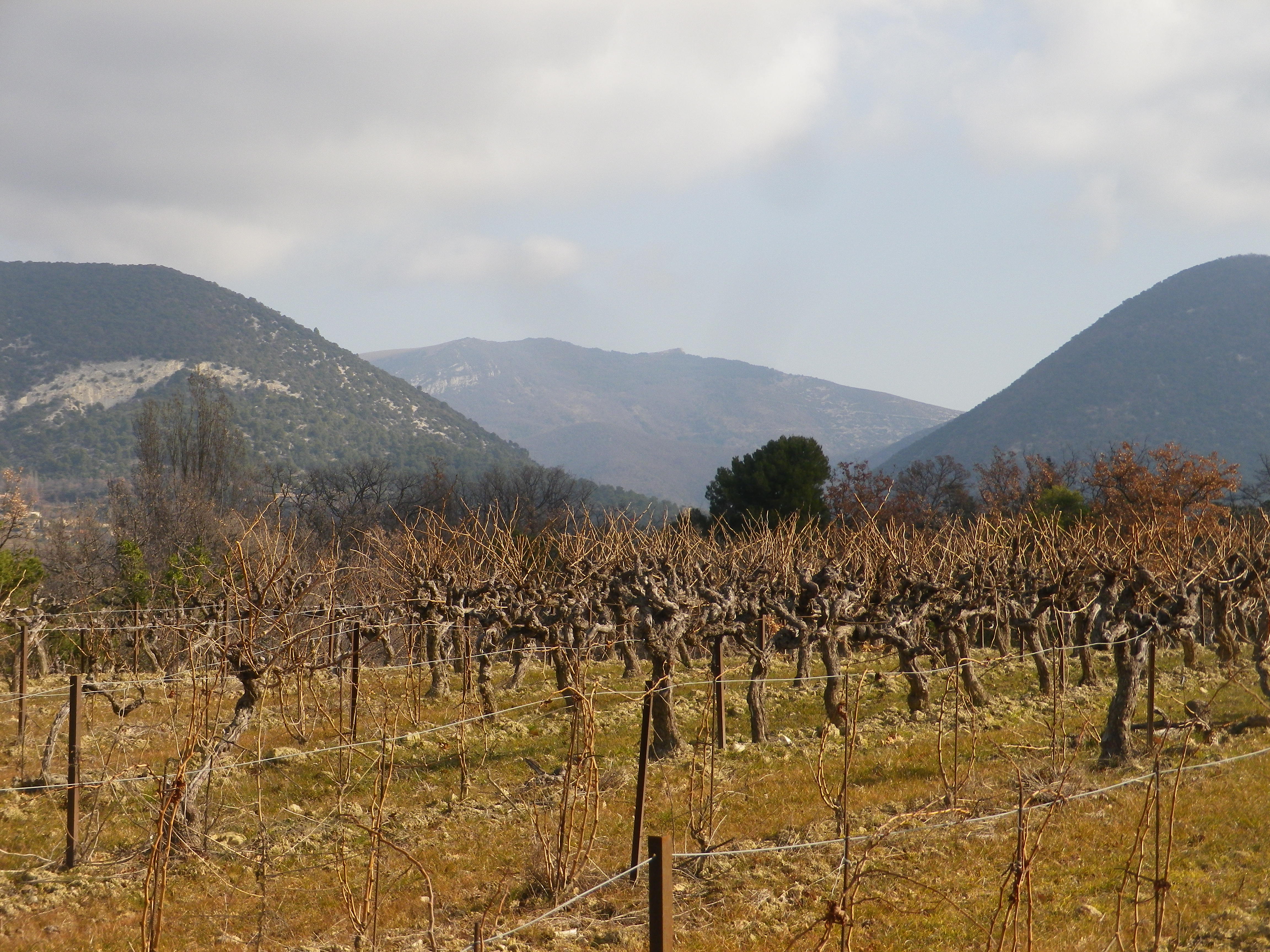
After a short and gentle incline, I soon reached the high ground. Unlike the vineyards below, these vineyards were sheltered and more discrete. Wandering through a mix of vineyard, fields and woods, it was a quietly peaceful interlude. All the better to enjoy the beautiful views. The distant Rhone River Valley and the Ardeche mountains lay to the west, at a minimum some 30 kilometers (20 miles) way, but appearing closer in the bright sun and clear air. To the north and east, the Baronnies National Park and the Prealpes, foothills to the Alps further east, seemed close enough to reach out and touch.
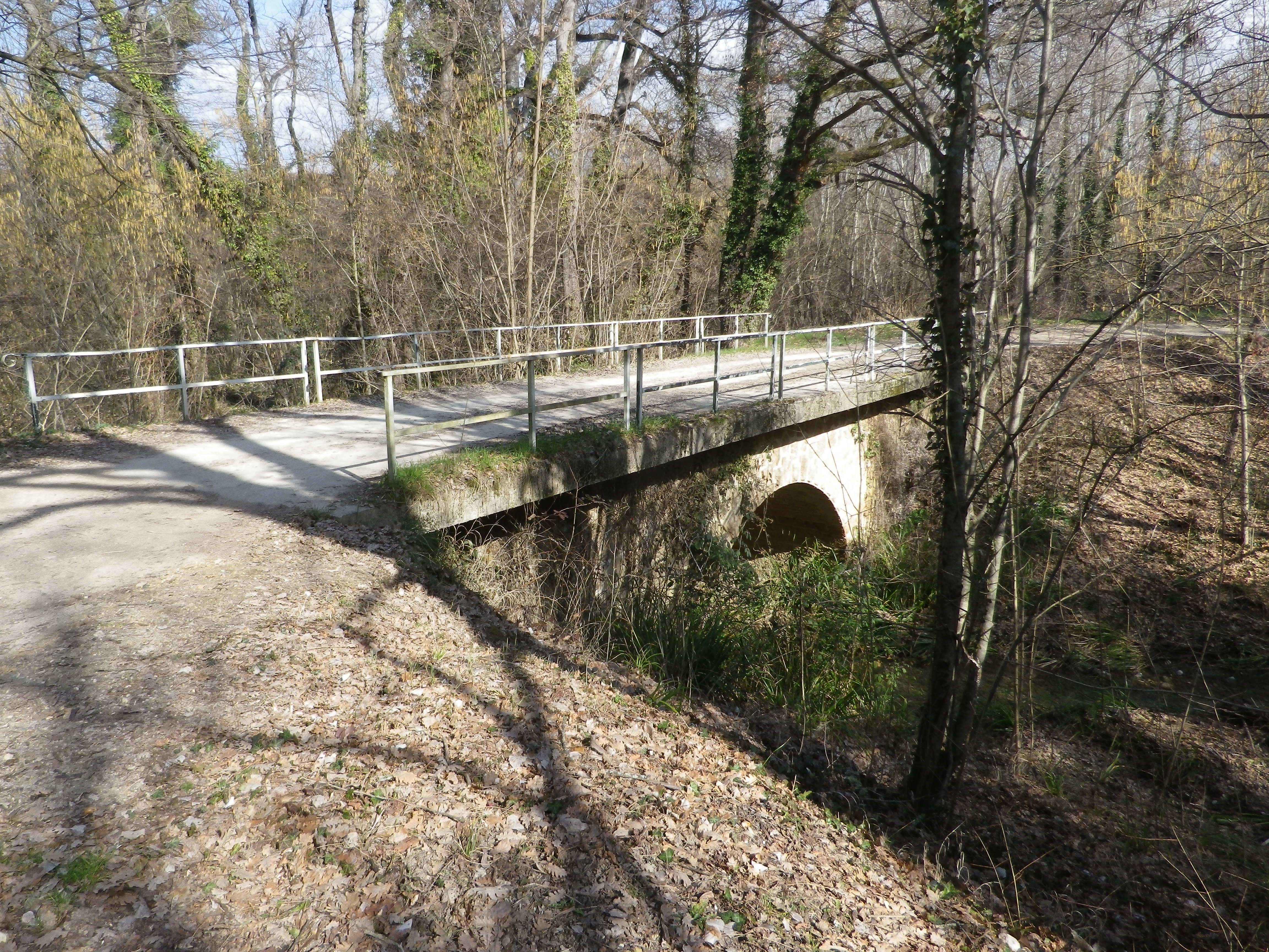
The terrain is lined with ravines, some with water. While the trail managed to avoid the roughest parts, it did have some ascents and descents along the way. Luckily the trail crossed one of the drops along a viaduct. It had been constructed for the train from the Rhone to Nyons, further east. The cooperative created a red wine cuvee and named it in honor of the train, and the bottle label bears a drawing of the train passing along the viaduct.
As I headed downhill, the smell of garrigue filled the air: Pine, rosemary, and thyme. Lavender plants, not in bloom in winter, were nonetheless present here and there. The generally dry and mostly sunny climate in this part of France enables these plants, along with grape vines, to grow well here. In fact, in many places, they will grow wild. Running fingers through a wild rosemary bush on the trail, is one way to whet an appetite for dinner – which naturally would include local wine. What a nice end to a day on the trail!
Sentier des Terroirs: Trail in a Nutshell
Trail Name: Sentier des Terroirs
Trail Type: Short to mid-distance circuit trail; well-maintained and widely varying surfaces from paved to very rough, marking on the trail very good in places, completely missing in others
Length:
Total – About 18 kilometers/11 miles
Southern/yellow circuit: 9.35 kilometers/5.8 miles.
Convenient to:
Montelimar or Nyons, France
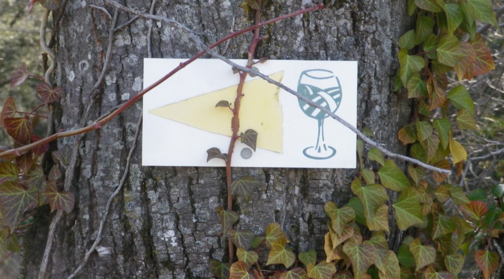
Marking: Numbered wine bottles (some missing) in part, red or yellow arrows with a stylized vineyard area depicted in a wine glass, in other places
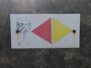
(The featured photo on top shows signage for the Yellow trail only.)
Trail Description: A relatively easy, family-friendly and varied trail offering wine education (close to the village), garrigue and vineyard landscapes, overlooked by tall mountains to the east. The trail has two conjoined circuits, making it possible to adapt hiking plans, depending on available time or weather situations. (See the comment below about flooding.)
Trailhead:
St Pantaleon-Les-Vignes: By the townhall (with church-like tower); or Cave Vignerons, Route de Nyons 1
Parking:
St Pantaleon: just off traffic circle, or by the town hall (Mairie), D548 x D541, and by Chateau Urdy
Public Transportation Options:
Rail: The closest rail service is at Montelimar, with good connections plying the major French North-South artery of the Rhone.
Bus: Buses provided by the Auvergne-Rhone-Alps Region (Oura on the website) “Cars Region” service, frequently connect Saint Pantaleon, Rousset, and Taulignan, with Montelimar, (and the rest of France).
Suggested Stages:
The full trail (both northern (heading to Rousset les Vignes) and southern halves) can be done together, or separately.
Trail Itinerary-Reference Points: (Southern circuit only – Clockwise)
Traffic circle on D 541/Rte. de Nyons – Montelimar, D548 -Grand Grange, right fork to Route des Juliannes; La Beaume, cross bridge over the Rieumau creek, Cross D541/Plan du Gre/Rte. de Nyons; Fontaine de Barral; Chapel; Cross the viaduct over Torrent de la Fosse; Chateau Urdy; Traffic circle with super-sized “ wine corks;” Cross D541 to return to the village
Representative Trail Photos:
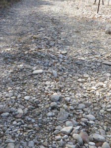
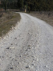
Restrooms:
In the village, by the church.
Attractions on or near Trail:
The Vignerons de Valleon winery offers tours and tastings to the public, are open liberal hours, and are very helpful and knowledgeable about the wines, as well as about the area and the trail.
Tasting along the Trail:
Chateau d’Urdy
Cave Vignerons de Valleon
Alternative Options:
Car: The Route de la Drome Provencale passes through Taulignan, St Pantaleon-Les-Vignes and Rousset-Les-Vignes, showcasing vineyards, quiet villages and beautiful old structures.
Additional Information:
Regional: https://www.grignanvalreas-tourisme.com/votre-sejour/agenda/
Trail specific: While not much is available online (to help with advance planning), the following website has a map of the southern route http://balades26-07.blogspot.com/2017/01/st-pantaleon-les-vignes-nd-de-sante-par.html (a big “Merci!”); and a map of the northern route may be found online at https://www.valleon.fr/un-terroir-et-des-hommes/, and at the winery’s front office, and the townhall.
Comments:
Snow is rare in this area, but…
Heavy rain can occur, and will flood parts of this trail, especially the low ground at the base of the hill south of the hamlet of Barral, at the Torrent de la Fosse!
Gallery January 2020
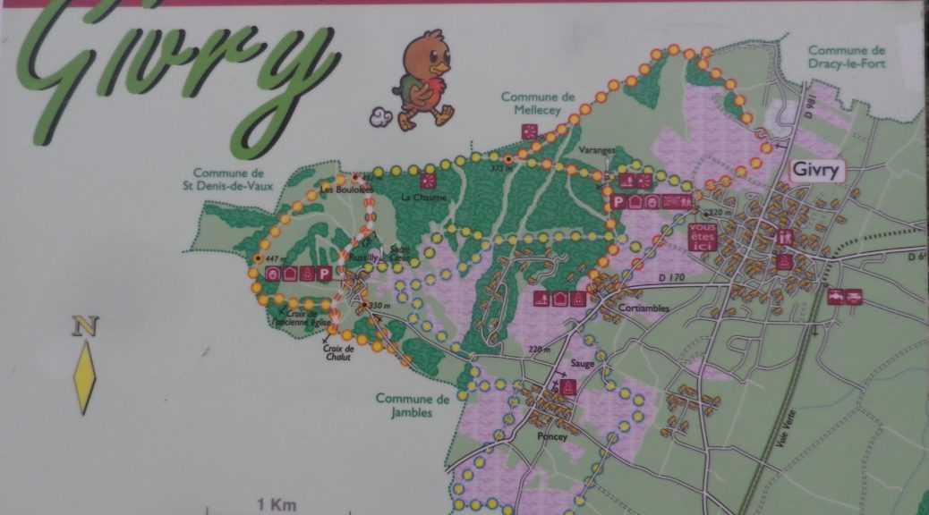
Discovering Givry
If, as King Henry IV famously stated, “Paris is worth a Mass”, then he also likely said: Givry is worth a glass. It was his favorite wine. As I hiked along the trail that meandered past its clos and vineyards, and strolled along its streets, I had reason to see why.
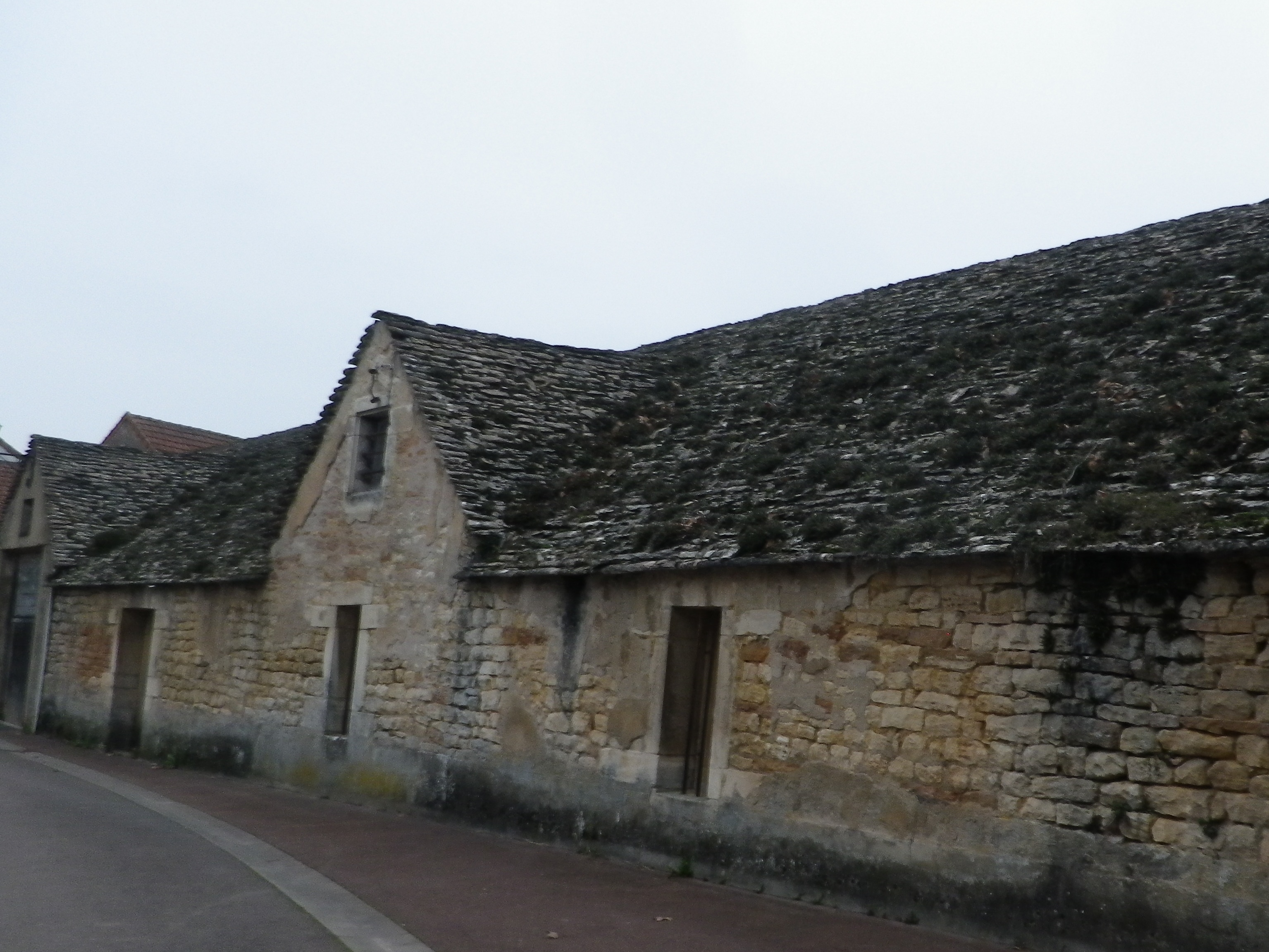
The stroll through town showcases some of its beautiful old buildings. Erected during different eras, they are all made of the amazing limestone that is so typical of many Burgundian buildings. Once out of town and in the vineyards, clos walls are made of the same material, albeit in January covered by moss and lichen in a colorful winter coat.
Cote Chalonnaise: Trail in a Nutshell
Trail Name: Decouverte Nature de la Cote Chalonnaise (to give it the full name)
Trail Type: mid-distance circuit trail; fairly well-maintained and very diverse trail surfaces, marking on the trail overall fairly good in some places, but missing in others
Length:
Total – 10 kilometers/6.2 miles
Convenient to: Chalon-sur-Saone, France
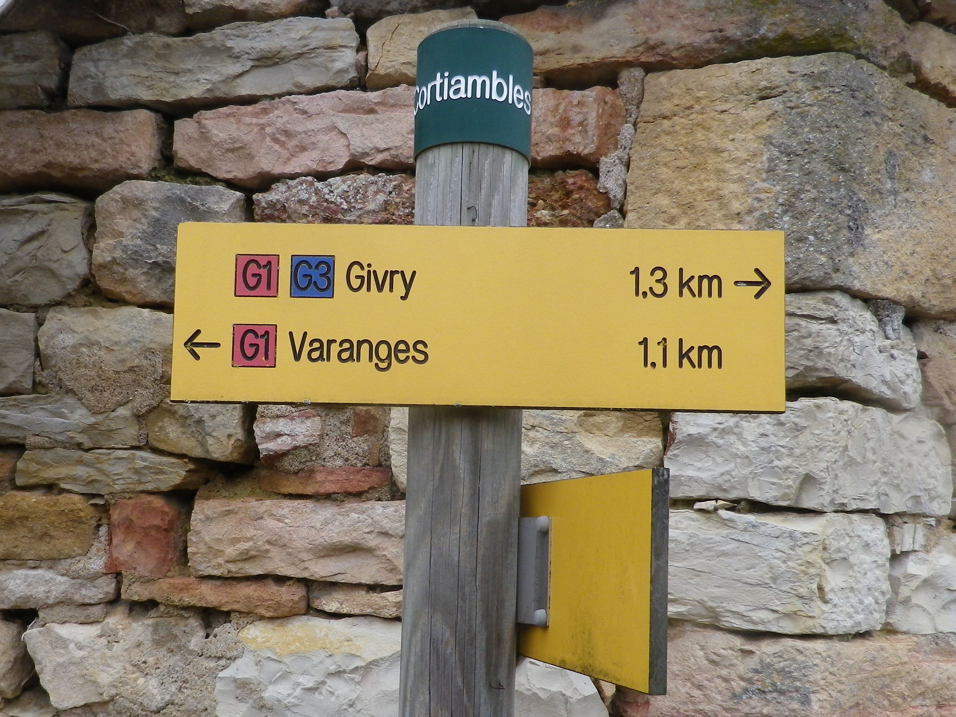
Marking: Varies, (G2, G3, and in one section red and white bars) but key spots are identified by location posts, and any or all of the above markings.
The Tour de France and Vineyards
This is a post about a long-distance cycling itinerary. But I was not cycling it. The most famous cycle route in France, the Tour de France, has an itinerary that changes every year. Fortuitously, in a perfect storm of time and place, I was able to watch it as it passed.
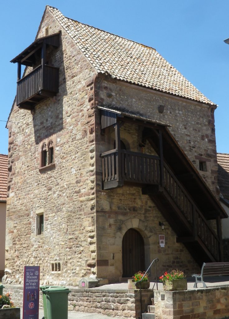
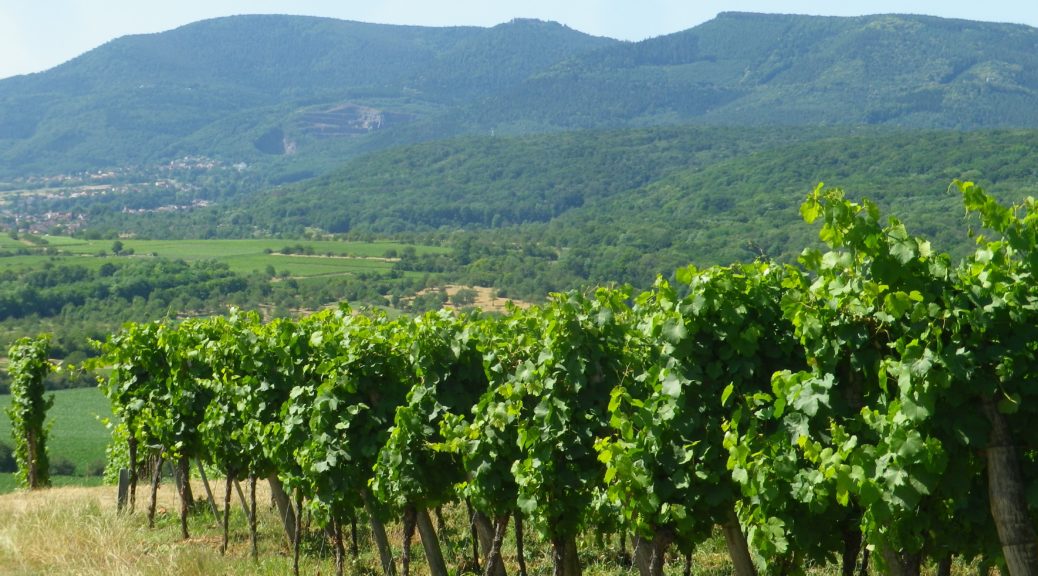
Fortunately too, there was a short vineyard hike I could do in the area that day. It began in the center of Rosheim, an Alsatian town in the department of Bas Rhin, and a town where the Tour was scheduled to pass through in July 2019. Rosheim is a delightful small town, with a lot of town spirit as I would find out. The trail leading out of town passed several well-maintained buildings of great historic value. In fact, the trail through town followed along the car route Route Romane d’Alsace, or Romanesque Alsace Route, demonstrating that this town has had a long and illustrious past, worth a detour in any visit to lower Alsace.
