Tag Archives: hiking French vineyard trails
Three by Three
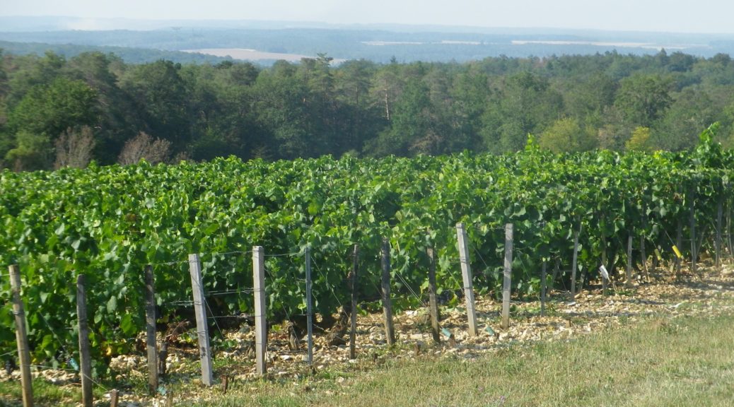
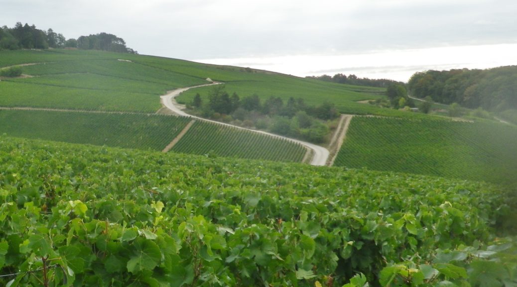
In the southern Champagne region, there is a village, composed of three hamlets: Ricey-Bas, Ricey Haut, and Ricey Haute Rive, collectively known as Les Riceys. There are three trails hikers may choose from that meander in and around the village. These three hamlets, and three trails, provide visitors an opportunity to experience rural, agricultural France, in one of the largest (most extensive) vineyard sites in Champagne.
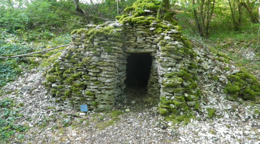
From the starting point in a parking lot, I was struck by the almost 360-degree view of the rather rocky hills of this area. In fact, piles of rock appeared everywhere along the trail, and they were not of just the cadoles. This trail focuses on the vineyard areas and the cadoles, centuries-old, round, dry stone wall huts found nearby. These were formerly used by vintners for storage and as respite from the weather.
Entre Vignes et Cadoles: Trail in a Nutshell
Trail Name: Entre Vignes et Cadoles (au Depart des Riceys)
Trail Type:
A short-distance circuit; mostly well-maintained and with mostly hard surfaces (hard packed or paved), marking on the trail only occasional.
Length:
Total – 6.6 kilometers/4 miles
Convenient to: Troyes, France
Marking:
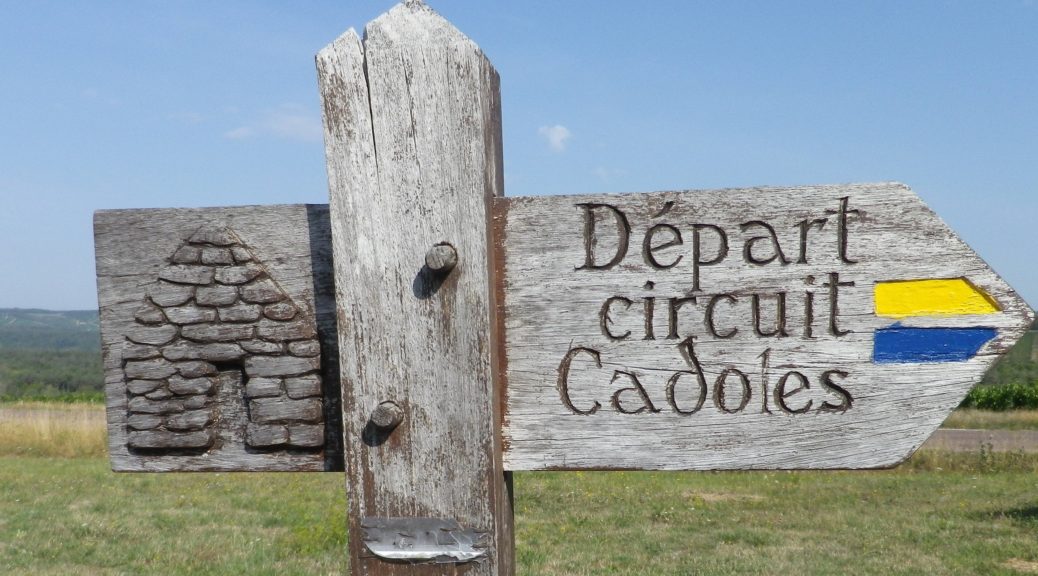
Yellow horizontal bars, or blue horizontal bars, sometimes together. (See the sign above.)
Continue reading Entre Vignes et Cadoles: Trail in a Nutshell
Gallery April 2022
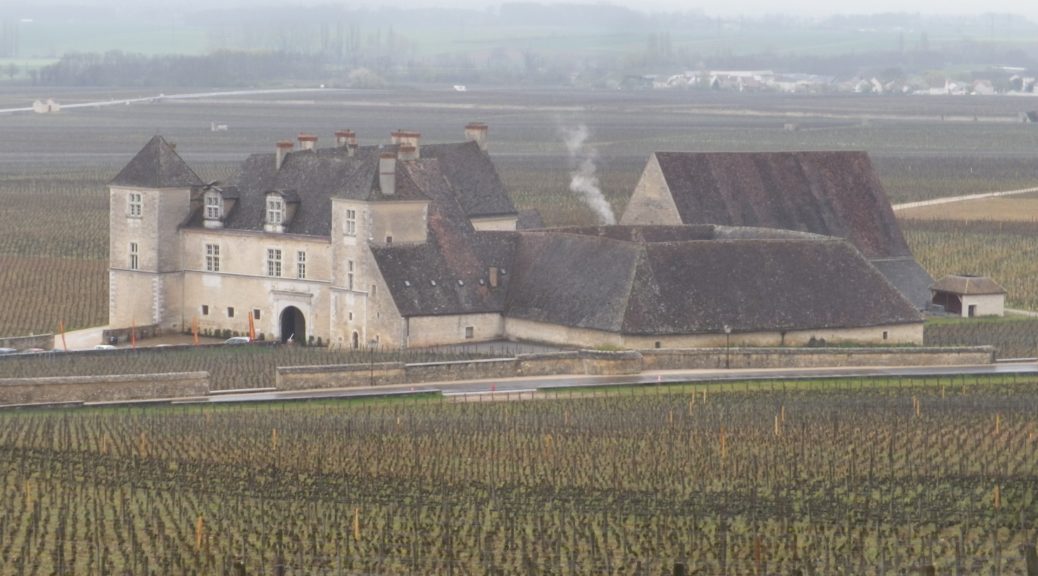
Vougeot Vineyards
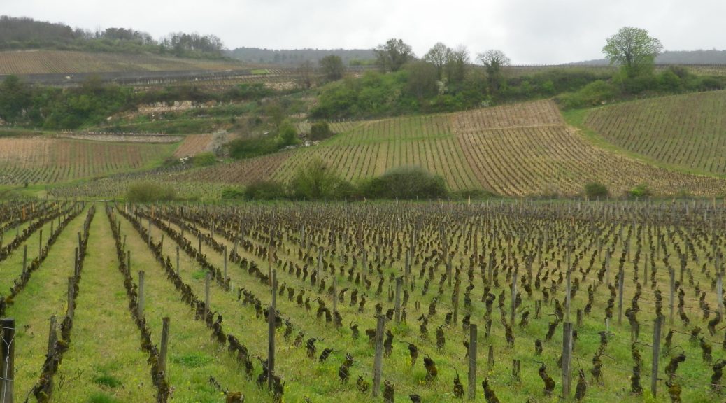
The vines were still bare, but spring was on the way. Those famous April showers were watering the early spring flowers, the only splashes of color on that wet spring day. Nevertheless, rain or shine, the word “Vougeot” conjures up so much of the magic of Burgundy and its wines, that I had to complete the eponymous hike: Autour du Clos de Vougeot.
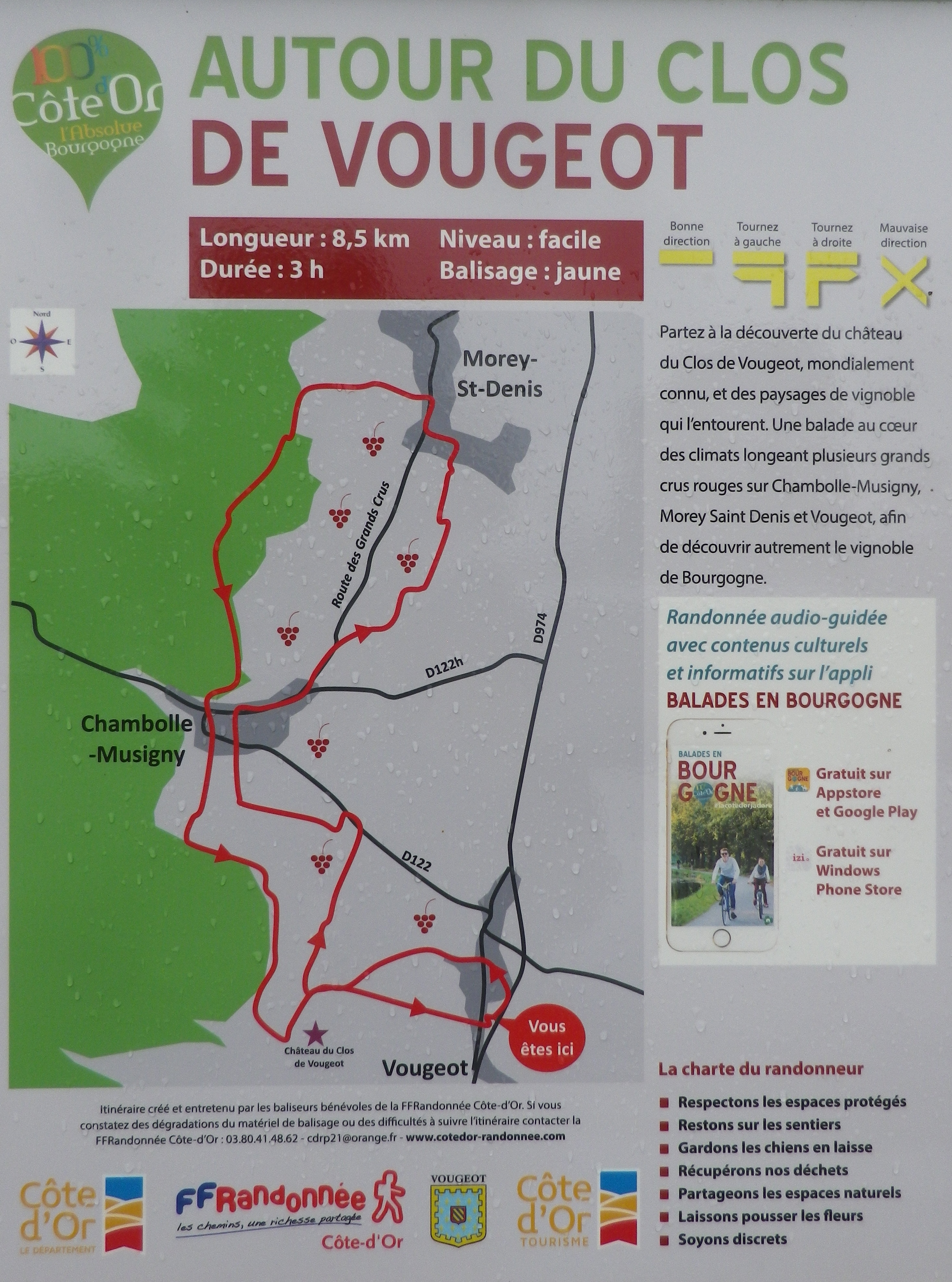
Autour du Clos de Vougeot: Trail in a Nutshell
Trail Name: Autour du Clos Vougeot
Trail Type: An easy, short circuit trail, mostly hard packed or tarmac surfaces, fairly well maintained, with some signage along the route.
Length:
Total – 8.5 kilometers/ 5.25 miles
Convenient to: Dijon or Beaune, France
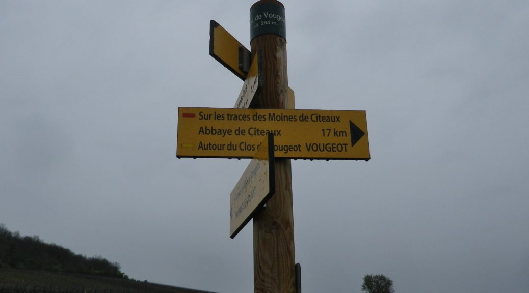
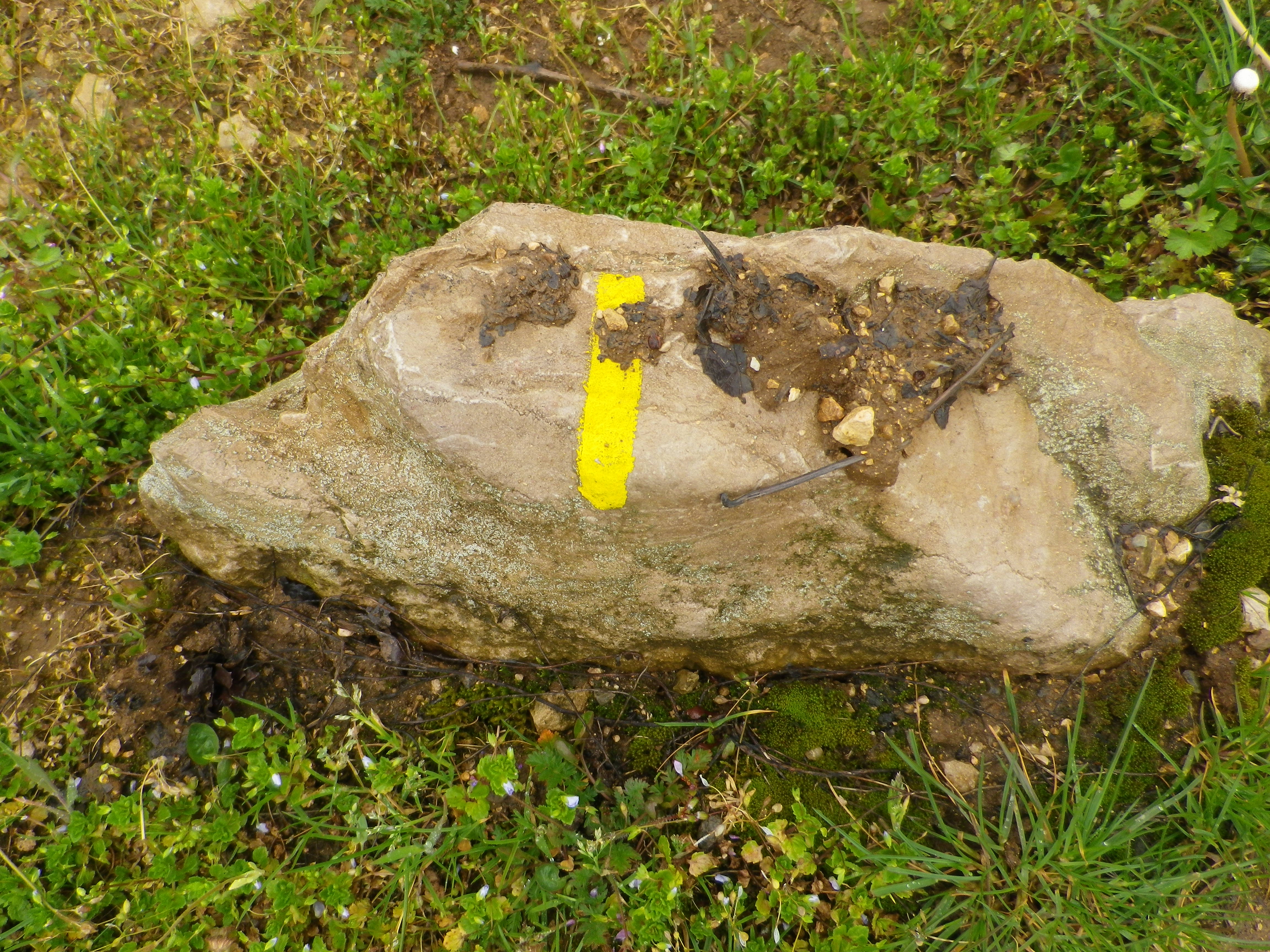
Marking: Yellow rectangles/bars, and the occasional named trail sign. See also the featured photo of trail signage above.
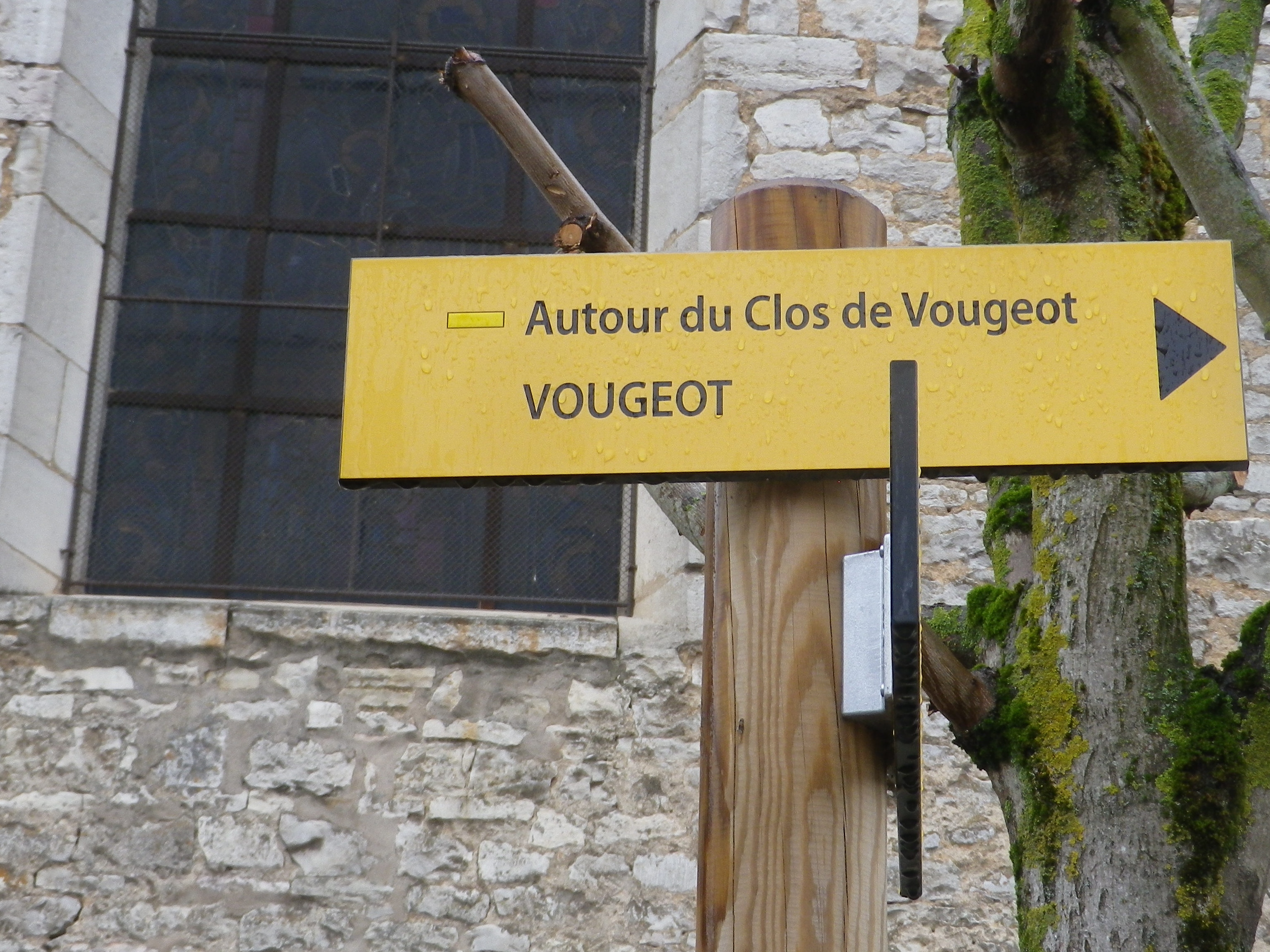
Continue reading Autour du Clos de Vougeot: Trail in a Nutshell
Gallery February 2022
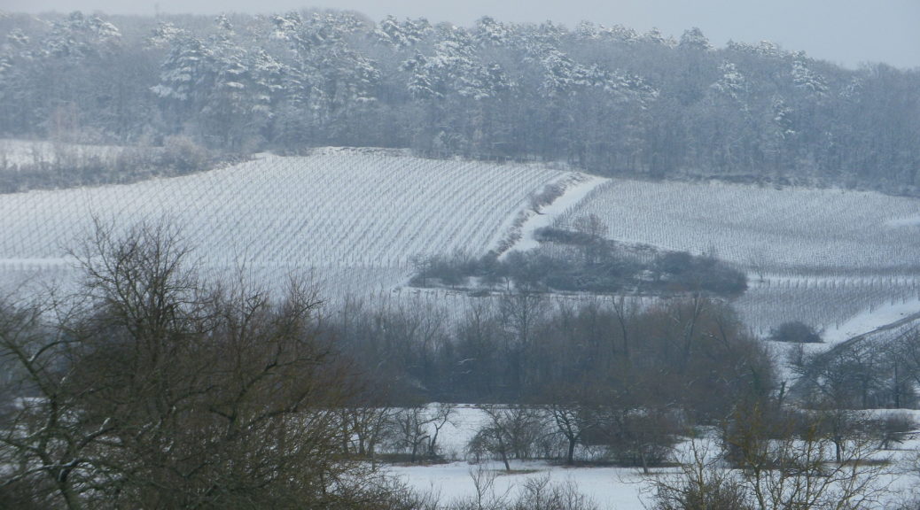
Vineyards under Snow
It snows in many wine making regions. Maybe not as much as it snows in New England over the past couple of weeks, but it does snow, especially in the Sued Tirol and Alsace. Snow and cold temperatures are actually beneficial for vines, even if it is less than optimal for hiking. Thus, I found myself in Alsace two years ago, ready to hike, but wishing I’d brought my snowshoes.
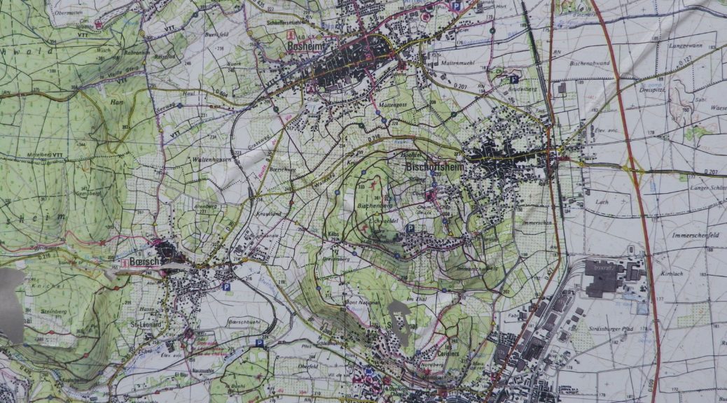
The trail was called Parcours du Vigneron, a 13-kilometer hike through the vineyards on the slopes surrounding the small town of Rosheim. The vineyards, as well as the well-preserved town walls and gates, and some impressive Romanesque architecture, are the chief attractions of the town. This cleverly designed trail, provides ample opportunity to admire it all, and from a couple of different perspectives.
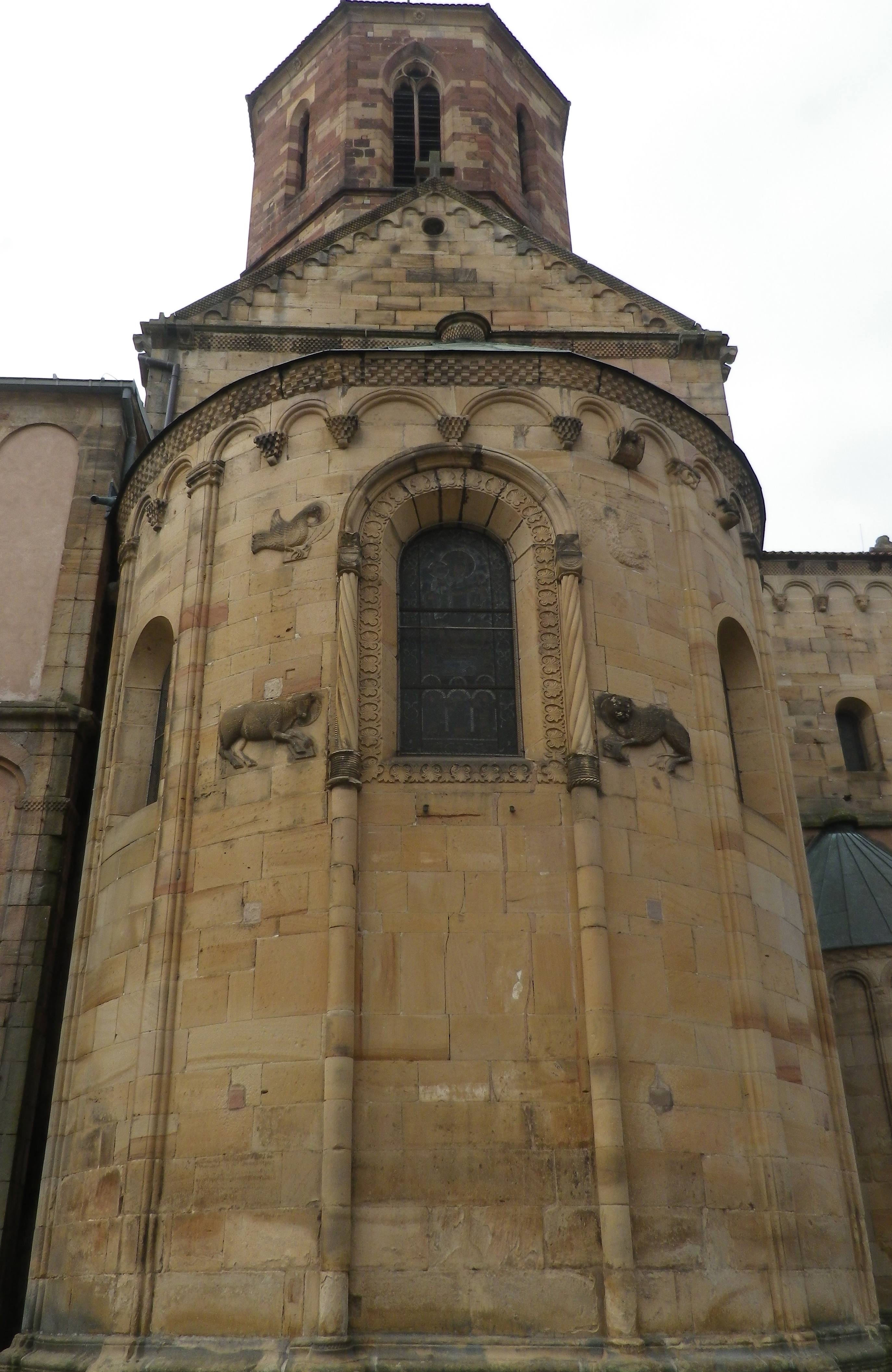
Parcours du Vigneron: Trail in a Nutshell
Trail Name: Parcours du Vigneron
Trail Type: Mid-distance circuit; well-maintained with mostly hard (paved or packed earth) surfaces; signage for this itinerary mostly good.
Length:
Total – 13 kilometers/8 miles
Circuit du Terroir : 8 kilometers/5 miles
Circuit du Savoir Faire : 5 kilometers/3 miles
Convenient to: Strasbourg, France
Marking: Trail name in black letters, on a white rectangular background with a line drawing of a vintner.
