Tag Archives: Hiking and Biking European Wine Country

Wine Notes: Middle Cote de Nuits


What I Learned:

The Cote de Nuits refers to the northern half of Burgundy’s famous Cote D’Or (Golden Slope). (Whereas the southern half is known as the Cote de Beaune.) The northern, Cote de Nuits, section runs from south of Dijon to just south of Corgoloin in Burgundy.

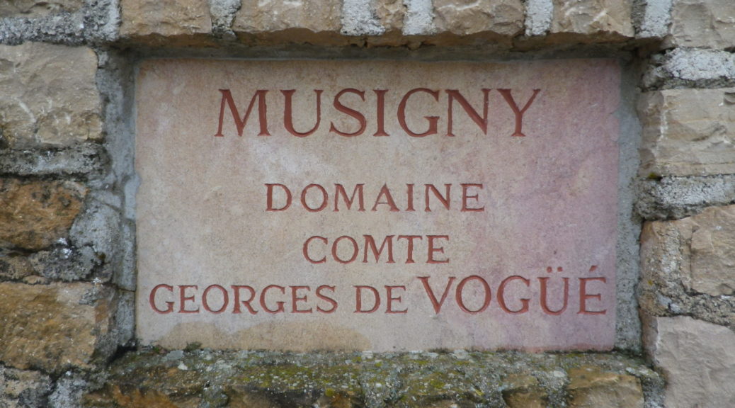
There are eight villages/towns that fall within the Cote de Nuits growing area. The Grands Crus, the most prestigious vineyards, are well known because the most renowned have their names attached to the village they lie in. The village of Chambolle cites one of its most prestigious vineyards, Musigny, in its name – hence the village has become known as Chambolle-Musigny. Another nearby village-vineyard combination includes Morey-Saint Denis. But perhaps the most famous village, Vougeot, has no such hyphenated name. Its Grand-Cru is called Clos de Vougeot, in reference to the famous monastery vineyard. The wines from these Grands Crus are usually highly esteemed.
Continue reading Wine Notes: Middle Cote de Nuits

Autour du Clos de Vougeot: Trail in a Nutshell


Trail Name:  Autour du Clos Vougeot

Trail Type: An easy, short circuit trail, mostly hard packed or tarmac surfaces, fairly well maintained, with some signage along the route.

Length:

Total – 8.5 kilometers/ 5.25 miles

Convenient to: Dijon or Beaune, France

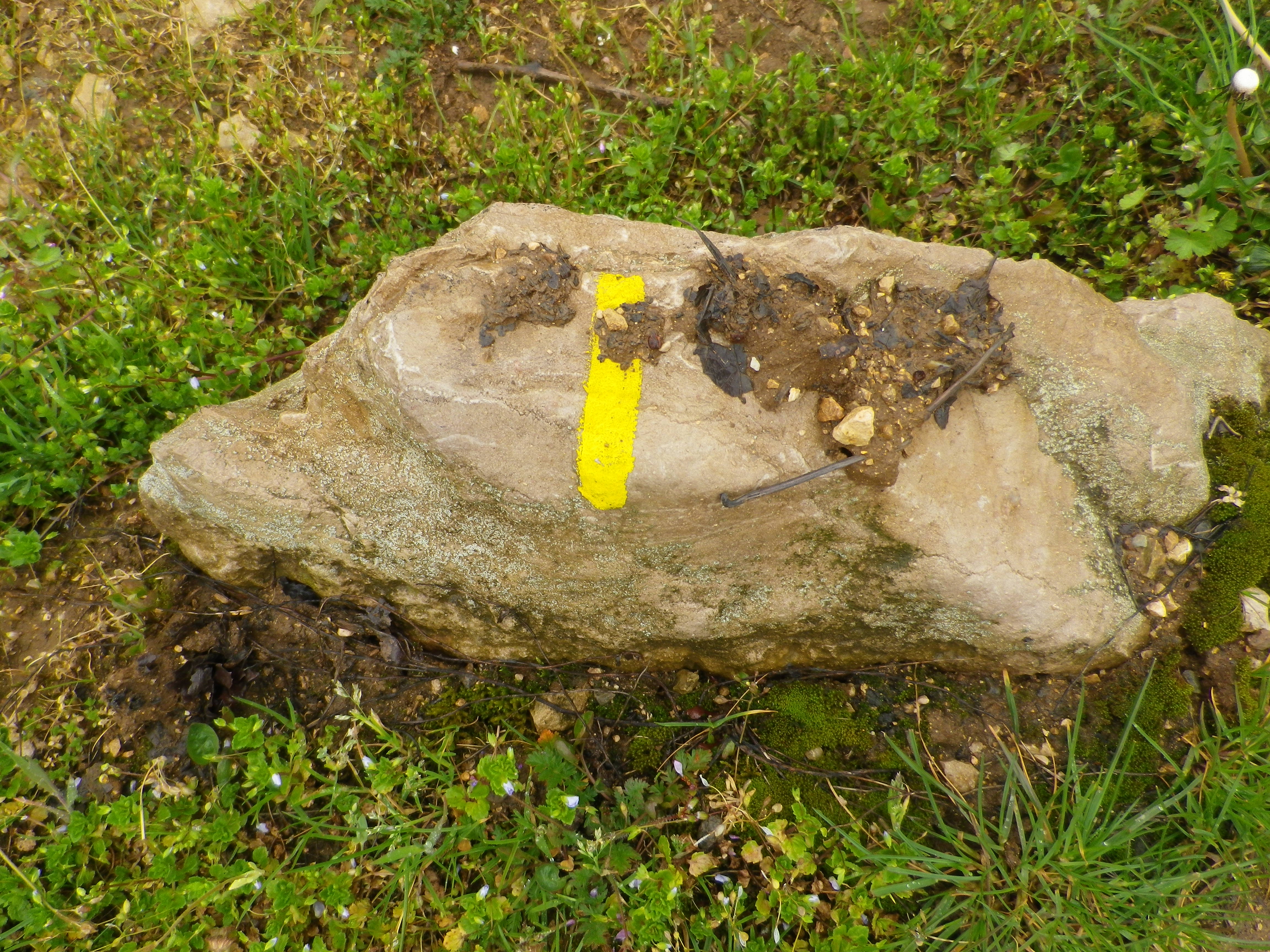
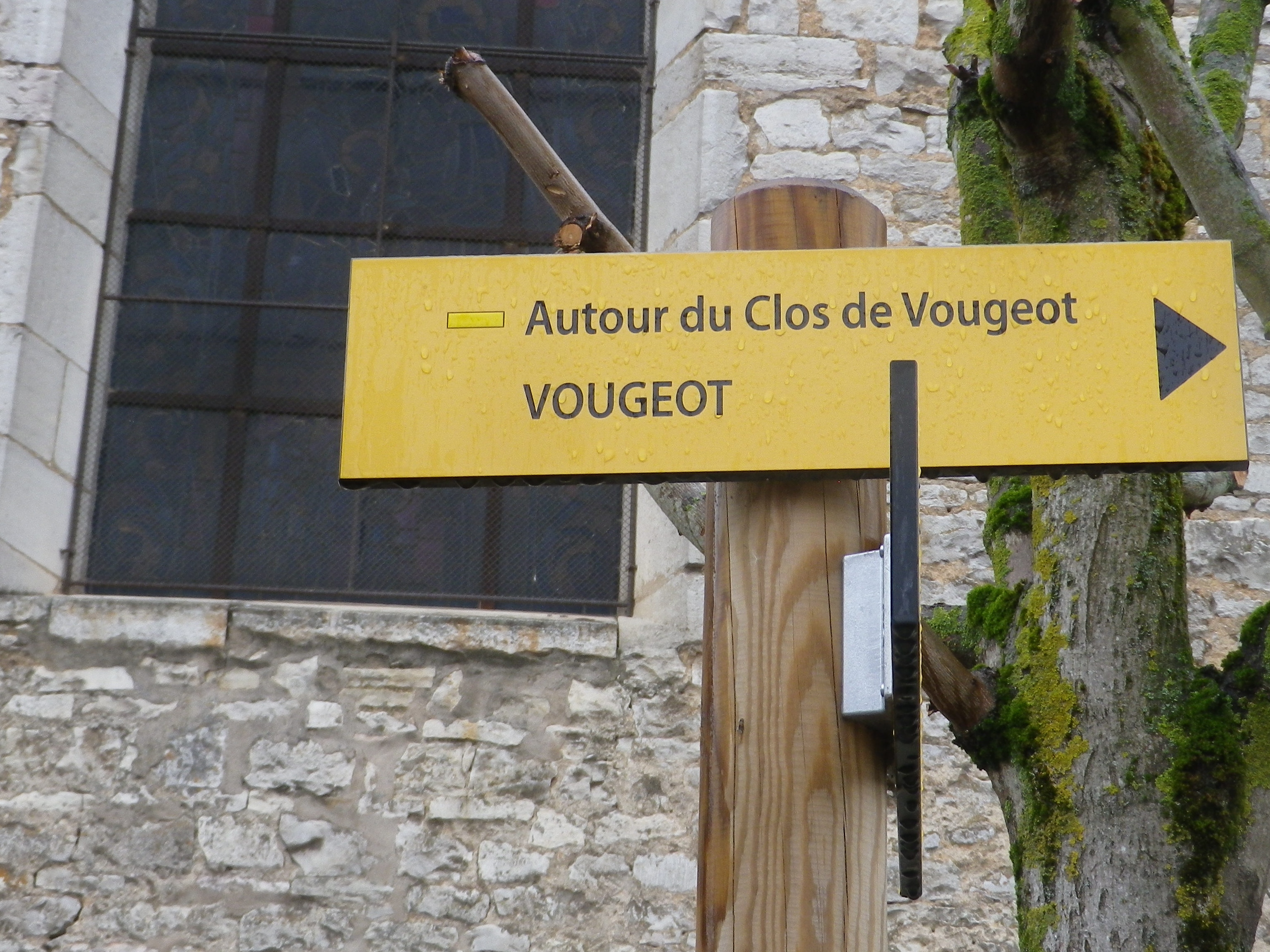
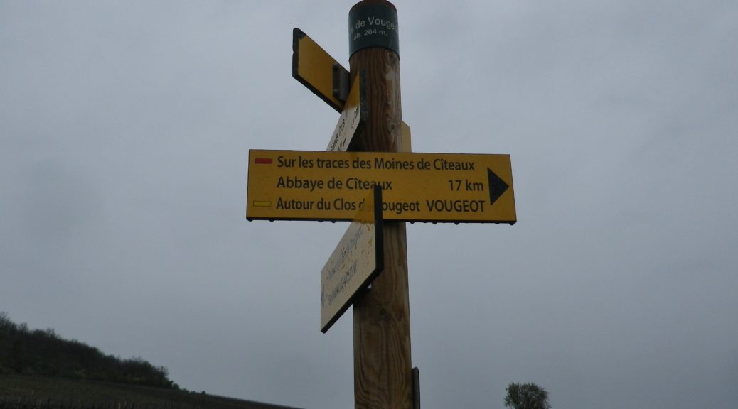
Marking: Yellow rectangles/bars, and the occasional named trail sign. See also the featured photo of trail signage above.

Marking on the Trail
Trail Signage along the Route

Continue reading Autour du Clos de Vougeot: Trail in a Nutshell

A Wine Trail in Winter


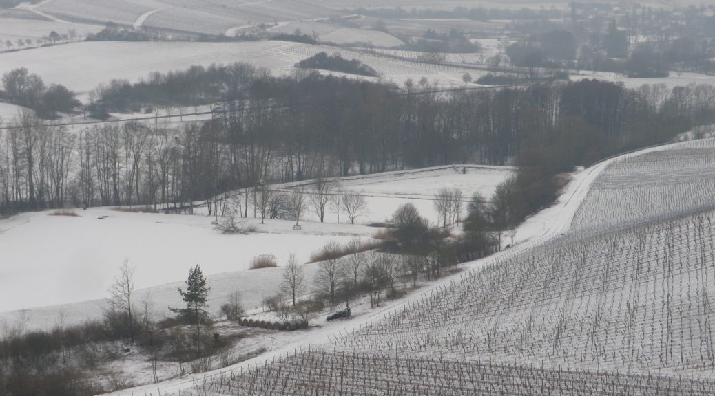
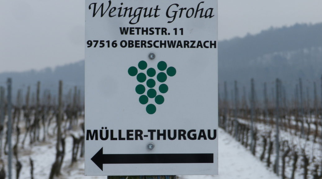
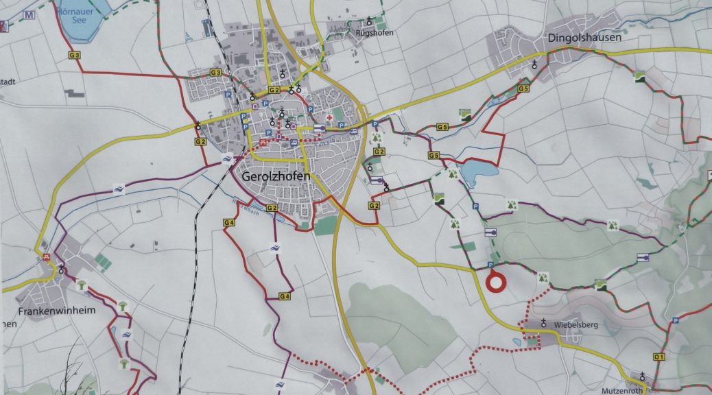
Be prepared is the scout’s motto. And when winter hikers (like me that day) do not heed that advice, there can be unanticipated results, but fortunately friendly help can save the day. It was in the thirties and overcast when I began my drive to this hiking trail. Two hours later, it was below freezing and snowing, definitely not the spring weather I optimistically decided would certainly prevail in March. I decided to start the hike anyway, and arranged to meet a friend for lunch in Handthal, about midway to Breitbach from Gerolzhofen.

To be clear, the Weinsteiger trail itself-its condition, its signage, even its itinerary-was quite good. I intend to return someday to complete the itinerary, and enjoy the sights and adventures on offer along the trail. The issue was my lack of preparation for the weather, which can be colder, due to the elevation and exposure, than other parts of Franconia.

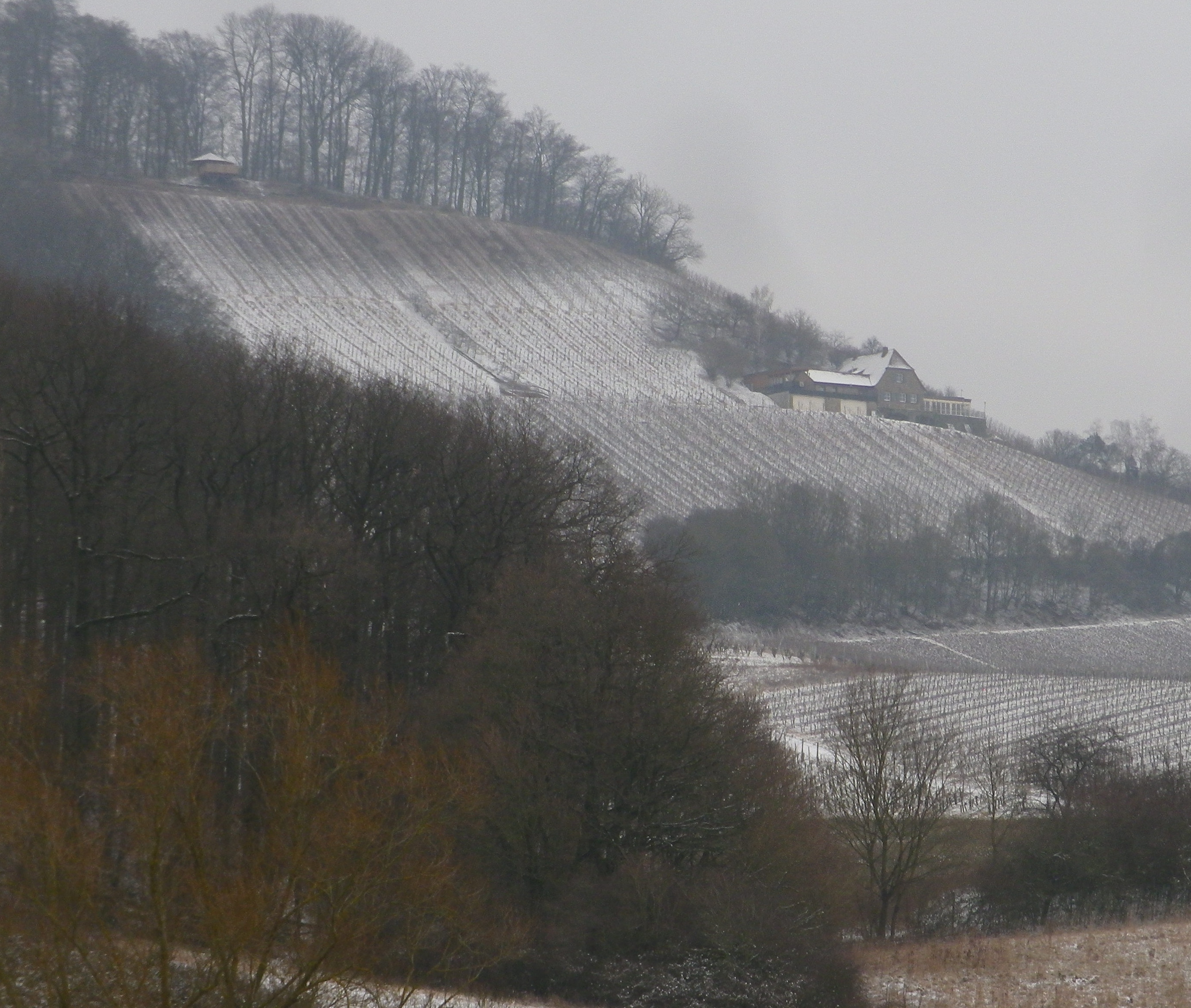
Gasthaus in the Vineyards

Continue reading A Wine Trail in Winter

Wines Notes: Franconian Steigerwald


What I Learned:

The Franconian Wine Region in Germany has three distinct wine districts: the famous Maindreieck passing Wuerzburg, the Mainviereck, and the Steigerwald. Unlike the first two, the Steigerwald wine district is not located along the Main River. This means that the climate-moderating effects of a river do not apply here. And since here is in south-central Germany, winter weather can last for longer, with spring weather arriving later, and fall weather arriving earlier, than elsewhere in this region.

Continue reading Wines Notes: Franconian Steigerwald

Weinsteiger: Trail in a Nutshell


Trail Name: Weinsteiger

Trail Type: Long distance; well-maintained and almost exclusively paved, marking on the trail

Length:

Total – 42.5 kilometers/26.4 miles

Segment Covered Here – @19.5 kilometers/ 12 miles*

Convenient to: Kitzingen, Schweinfurt, Germany

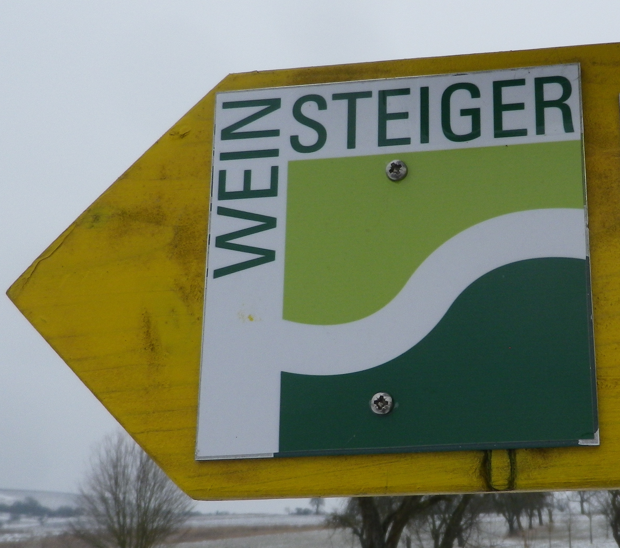
Marking:

Square with the word “Weinsteiger” in black on a white background, with a smaller square composed of light and dark green beneath the word. Sometimes seen on directional signs as well.

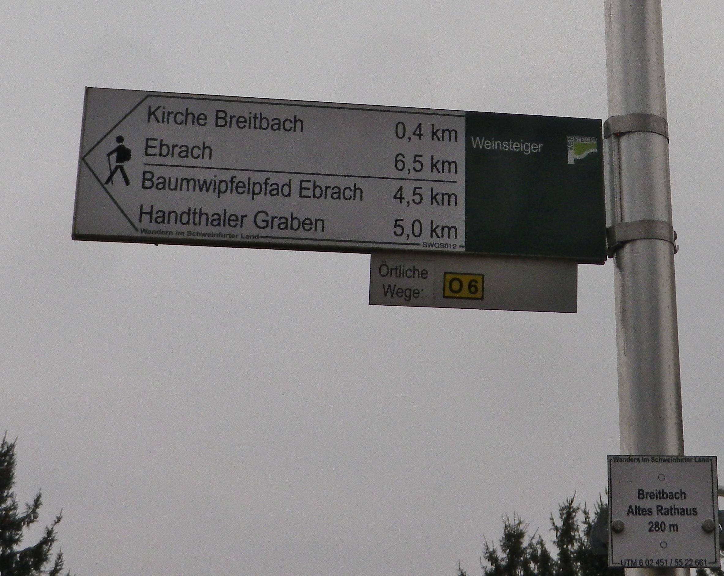
Signage: Weinsteiger


Directional Sign, with Weinsteiger Logo

Continue reading Weinsteiger: Trail in a Nutshell

Vineyards under Snow


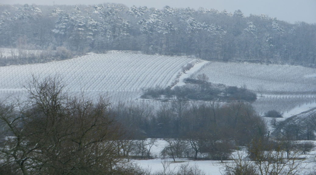
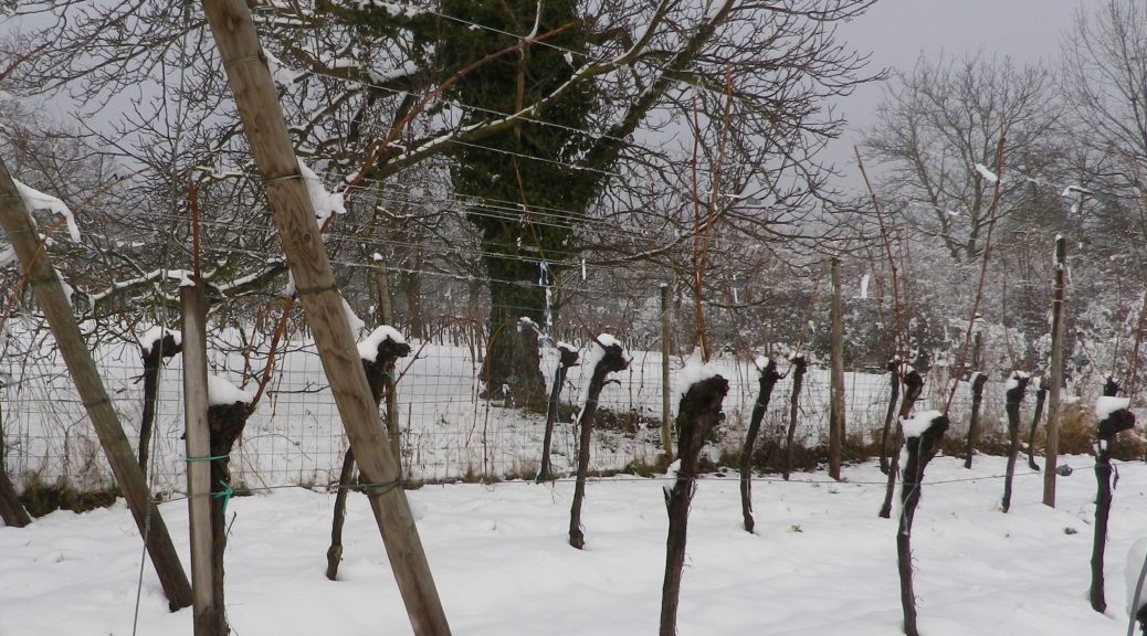
It snows in many wine making regions. Maybe not as much as it snows in New England over the past couple of weeks, but it does snow, especially in the Sued Tirol and Alsace. Snow and cold temperatures are actually beneficial for vines, even if it is less than optimal for hiking. Thus, I found myself in Alsace two years ago, ready to hike, but wishing I’d brought my snowshoes.

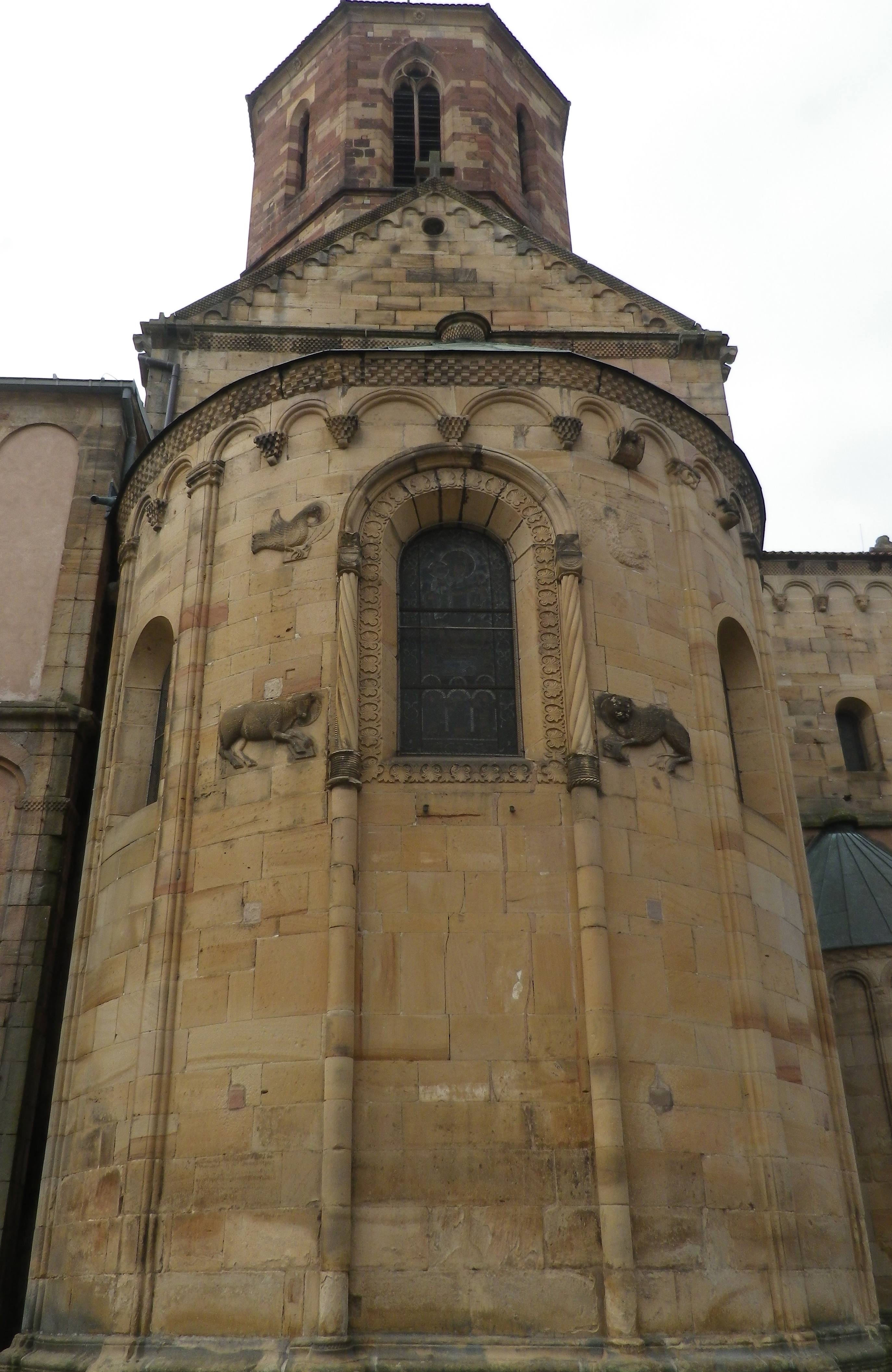
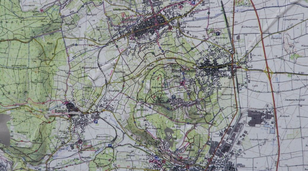
The trail was called Parcours du Vigneron, a 13-kilometer hike through the vineyards on the slopes surrounding the small town of Rosheim. The vineyards, as well as the well-preserved town walls and gates, and some impressive Romanesque architecture, are the chief attractions of the town. This cleverly designed trail, provides ample opportunity to admire it all, and from a couple of different perspectives.

Rosheim: Three of the Four Evangelists

Continue reading Vineyards under Snow

Wine Notes: Alsace’s Middle Bas Rhin


What I Learned

Rosheim and Ottrott are small, but significant wine villages. Both these communes lie in the Bas Rhin department, in the Molsheim canton, in the northern part of Alsace.

Northern Alsace has a great viticultural and vinicultural tradition. Six main white varietals grow throughout Alsace: Riesling, Silvaner, Gewuerztraminer, Muscat, Pinot Blanc, Pinot Gris, and the only red varietal: Pinot Noir.

Alsatian Pinot Noir wines tend to be lighter, but very fruit-forward Pinot Noir wines. They are, of course, different from Burgundian Pinot Noir wines, from which tradition they derive. Early in the 12th century monks from Burgundy headed into Alsace, bringing vine plantings with them.

Continue reading Wine Notes: Alsace’s Middle Bas Rhin

Parcours du Vigneron: Trail in a Nutshell


Trail Name:  Parcours du Vigneron

Trail Type: Mid-distance circuit; well-maintained with mostly hard (paved or packed earth) surfaces; signage for this itinerary mostly good.

Length:

Total – 13 kilometers/8 miles

Circuit du Terroir : 8 kilometers/5 miles

Circuit du Savoir Faire : 5 kilometers/3 miles

Convenient to: Strasbourg, France

Marking: Trail name in black letters, on a white rectangular background with a line drawing of a vintner.

Continue reading Parcours du Vigneron: Trail in a Nutshell

A Good Witch


Kappelrodeck’s witch is a good one, IMHO. She brings happiness and casts an enchanting spell over the little town and its surroundings. Her spell succeeds in charming and beguiling all who make their way through the relatively narrow pass climbing along the Acher valley at the foot of the Black Forest Mountain range.

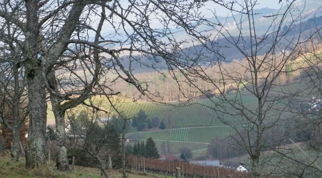
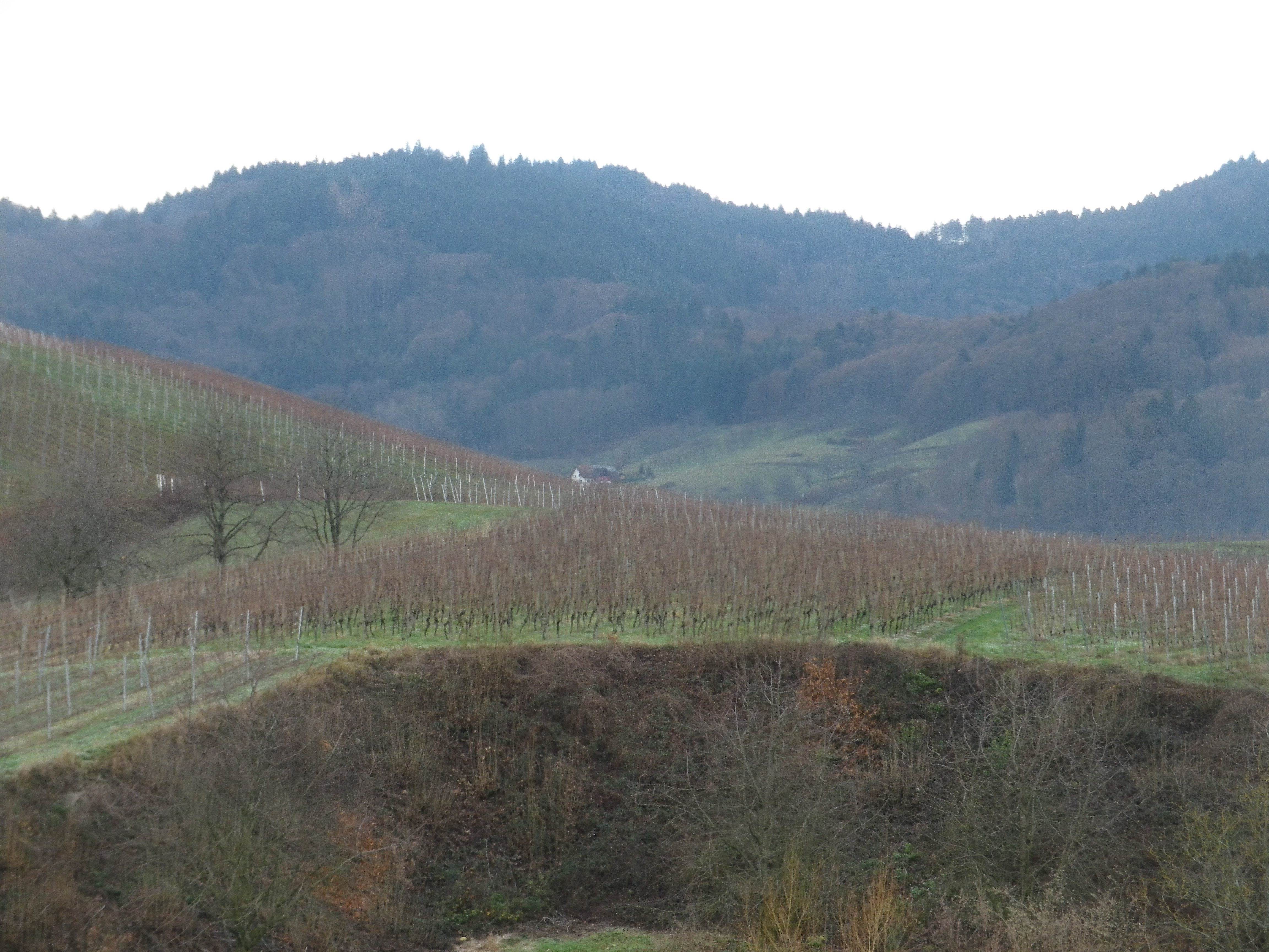
Certainly, the landscape bewitches with its fascinating geology and natural beauty! Hills mound about like lumps on the landscape. Most of their slopes contain vines. These face the sun at different times of the day. The sun, along with the rain (and snow in the winter), make these incredibly green. The tops of the hills are often covered with pines: Tall, dark and majestic. Behind them the Black Forest begins.

Vines Against the Black Forest Pines

Continue reading A Good Witch

Wine Notes: Ortenau’s Kappelrodeck


What I Learned:

Certainly one of the most fascinating vineyard areas in Baden’s Ortenau wine district, the area around Kappelrodeck and Waldulm stands out as topographically impressive for growing grapes in a never-to-be-forgotten mixture of hill and dale.

Slopes are steep. Hills cluster close together. The profile of the hills resembles a grape cluster lying on the ground: round mounds intersected by narrow dales. This topography is ideal as far as the vines’ exposition to the sun goes. Being steep, rainwater drains well away from the vines. Additionally, the area lies in a valley sheltered by higher ridgelines to the north, south, and east. As a result, even though this area of Germany has its share of foggy or overcast, even rainy, days, when the sun shines, each grape stands a good chance of getting some decent exposure to its warming and ripening rays.

Continue reading Wine Notes: Ortenau’s Kappelrodeck