Tag Archives: Hiking and Biking European Wine Country

Wine Notes: Franconia’s Maindreieck

What I Learned:

Along the Main River in Franconia (Franken, in German), there are three wine districts of good repute: Maindreieck, Mainviereck, and the Steigerwald, set slightly off the river, but still enjoying a climate mild enough to grow grapes. This post focuses on the Maindreieck district only.

The Maindreieck is a triangle of land surrounded on three sides by the Main River. The Main is a tributary to the Rhine. The river makes three dramatic curves close to the heart of Franconia, forming this “triangle” (dreieck) as a paragon of viticulture in south central Germany. The most important and undoubtedly best known town for wine culture in this area is Wuerzburg.
Continue reading Wine Notes: Franconia’s Maindreieck

Volkach’s Panoramaweg: Trail in a Nutshell

Trail Name: Panoramaweg

Trail Type: A mid-distance trail or circuit; some medium-difficulty ascents; almost exclusively hard-packed gravel or paved; well maintained and fairly well marked.

Length: totals:

Circuit: 15 kilometers/9.3 miles

Trail: 20 kilometers/12.5 miles

Convenient to: Wuerzburg, Franconia, Germany

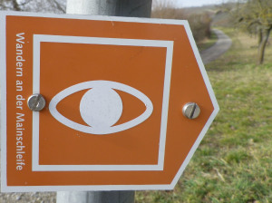
Marking: Orange background with a white stylized eye

Panoramaweg Trail Sign

Continue reading Volkach’s Panoramaweg: Trail in a Nutshell

Beaujolais and the Giant Trail

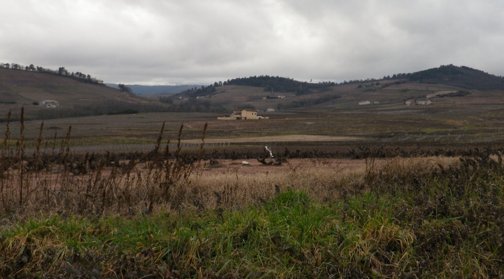
Gargantua is a literary character developed by Francois Rabelais, a 16th century French writer. Gargantua is known as an epicurean giant of awesome adventures, son of a wine estate-owning nobleman. The adjectival form has become synonymous with humungous. And it was also the name of a trail I recently hiked. So, I wondered as I hiked, does the name refer to the big-name Beaujolais wines from here enjoyed by epicureans world-wide, or does it refer to epic adventures to be found along the 16-kilometer route, or the size of some of the hills the trail traverses?

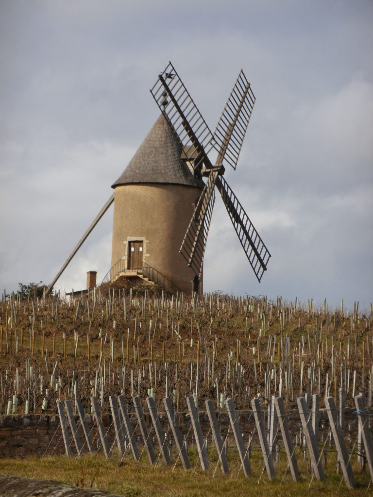
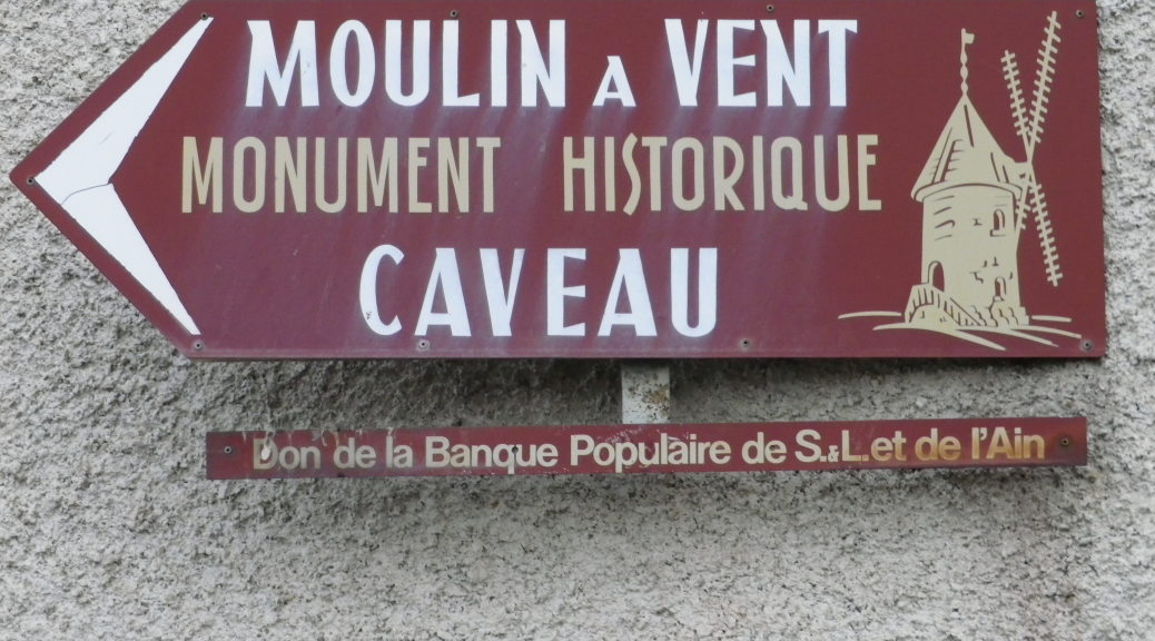
It certainly did not refer to the size of Moulin a Vent, the Wind Mill, an iconic landmark, as well as a renowned wine appellation, in the Beaujolais region. It is often easier said than seen for hikers in this very hilly landscape. But that was my start point and my end point on this circuit trail to discover two great crus of Beaujolais.

Moulin a Vent - The Windmill
Moulin a Vent – The Windmill

Continue reading Beaujolais and the Giant Trail

Wine Notes: Beaujolais Crus

What I Learned:

Beaujolais is a wine region just south of Burgundy. It has three different quality levels: a simple Beaujolais produced in the southern-most reaches of this region; a Beaujolais-Village appellation; and in the northern part of this wine region, ten villages have their own appellations due to their special crus. It is a singular geological area, once part of an ancient sea bed. The hills are often steep and hide valleys between them. Schist and granite soils in the Beaujolais give a distinctive minerality to the wines. The best of these wines, the ten villages/areas of appellation (Brouilly, Chenas, Cote de Brouilly, Chiroubles, Fleurie, Julienas, Morgon, Moulin a Vent, Regnie, Saint-Amour) offer good value for quality wines.

Continue reading Wine Notes: Beaujolais Crus

A Gargantuan Trail in a Nutshell

Trail Name: Circuit de Gargantua, also known as Circuit 1 Gargantua

Trail Type: Medium distance circuit; trail surface partly paved, otherwise grass or earthen surface (sandy or compacted); Route mostly marked.

Length:

Total: 16 kilometers/10 miles

Shortened: 9.5 kilometers/6 miles

Convenient to: Lyon, France

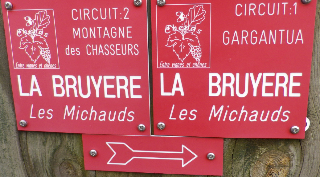
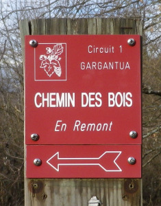
Marking: Red squares with stylized grapes and leaves, and white lettering identifying the trail name: “Circuit 1 Gargantua”, the name of the location (example: “Chemin des Bois”), and with white italic lettering below identifying the next destination (example: “En Remont”). An arrow below indicates the direction to follow.

Marking for Circuit de Gargantua

Continue reading A Gargantuan Trail in a Nutshell

Hiking Felsengarten Reds

After completing the Felsengartenkellerei (FGK) Riesling Wanderweg, I felt compelled to even out the experience by completing an FGK red wine-themed trail, and a red wine tasting. Because the red routes are shorter than the Riesling trail, I decided to combine the Burgunder and the Trollinger trails, two of several red wine-themed trails that the FGK offers. (The others include the delectably-named Ruhlaenderweg, the Lembergerweg, the Samtrotweg, and the Dornfelderweg.)


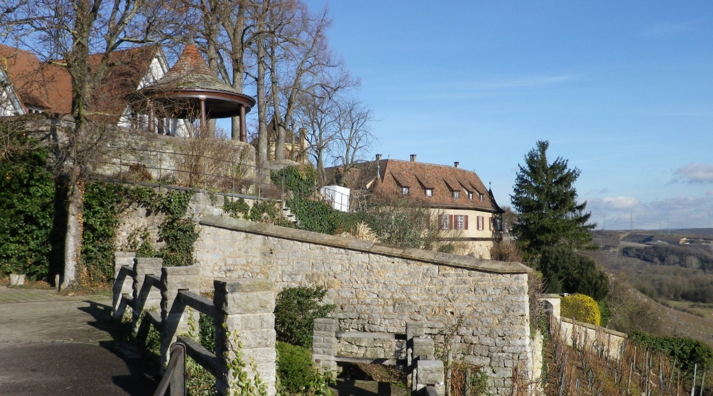
High above the Neckar

Continue reading Hiking Felsengarten Reds

Wine Notes: Germany’s Wuerttembergisch Unterland – Part II

What I Learned:

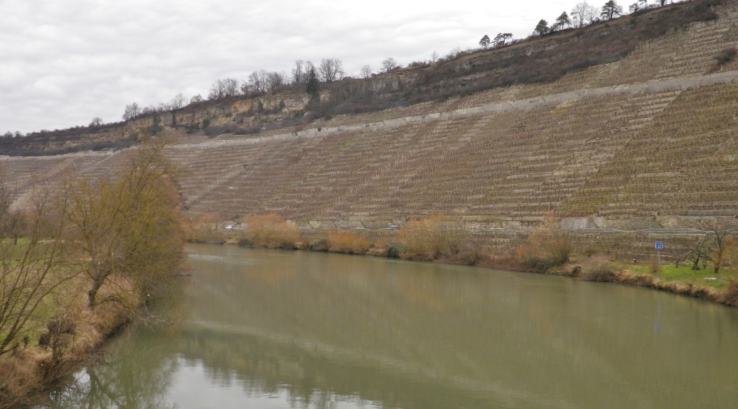
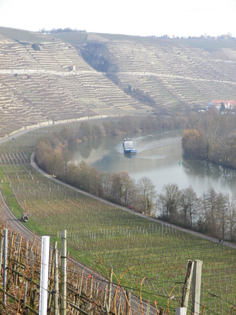
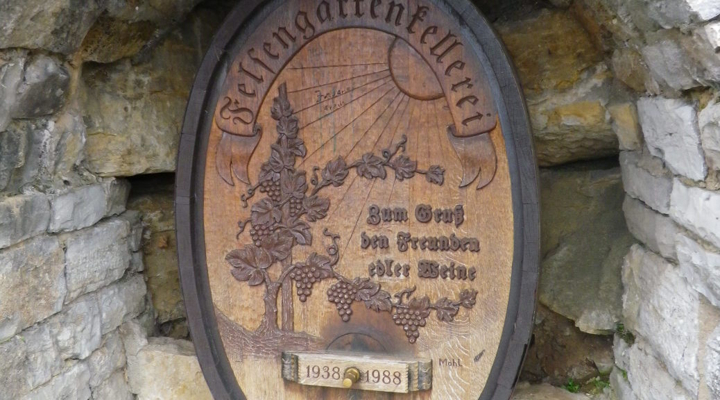
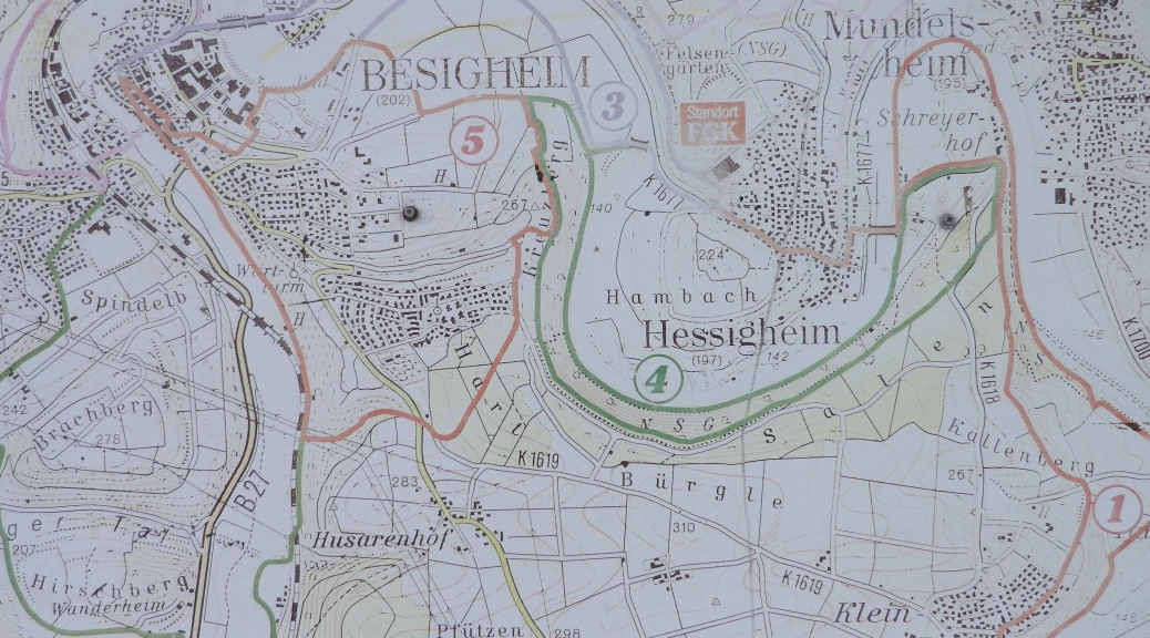
About 20 miles north of Stuttgart, Germany, there is a distinctive grape growing area, lining the Neckar River as it flows north past the towns of Mundelsheim, Hessigheim and Besigheim. An unusual geological feature here is a fractured, limestone cliff with rock outcroppings that tower above the Neckar. Known as the Felsengarten, this site is favored by local rock climbers, as well as wine lovers who delight in visiting the vineyards surrounding the cliff, and the local wine cooperative, the Felsengartenkellerei, at the base of the cliff.

Continue reading Wine Notes: Germany’s Wuerttembergisch Unterland – Part II

Burgunder- and Trollinger-Weg: Two Trails in a Nutshell

Trail Names: Burgunderweg and Trollingerweg

Trail Type: Short distance hiking circuits laid out by the Felsengartenkellerei (FGK) winery; almost exclusively paved, well maintained, and mostly well marked.

Length:

Burgunderweg total: 5.5 km/3.5 miles

Trollingerweg total: 8.5 km/5.25 miles

Convenient to: Stuttgart, Wuerttemberg, Germany

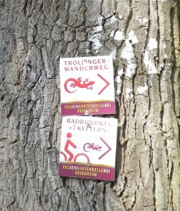
Marking: Red colored lizard and trail name written on square signs with white background with the word “Felsengartenkellerei” written on the edge.

Trollingerweg Signage

Continue reading Burgunder- and Trollinger-Weg: Two Trails in a Nutshell

Felsengartenkellerei Riesling Wanderweg

In an unusual move, the local wine cooperative, the Felsengartenkellerei (FGK) in Hessigheim, has mapped several trails which pass through the vineyards supplying the grapes. I decided to hike some of the trails, and began much as you would in a wine tasting – with a white.

The Riesling Wanderweg trail had some great things going for it: a variety of landscapes to pass through, from riverside and fields, to villages and vineyards, with a bit of forest here and there. It was a clear, sunny and relatively warm winter day, with birds singing as I set out.

Riesling Wanderweg Trail

Continue reading Felsengartenkellerei Riesling Wanderweg

Wine Notes: Germany’s Wuerttembergisch Unterland – Part I

What I Learned:

About 20 miles north of Stuttgart, Germany, there is a distinctive grape growing area. An unusual geological feature here is a fractured, limestone cliff with rock outcroppings that towers above the Neckar River. Known as the Felsengarten, this site is favored by local rock climbers, as well as wine lovers who delight in visiting the vineyards surrounding the cliff, and the local wine cooperative at the base of the cliff.

Continue reading Wine Notes: Germany’s Wuerttembergisch Unterland – Part I