Tag Archives: Hiking and Biking European Wine Country

Weinpanorama Weg: Trail in a Nutshell


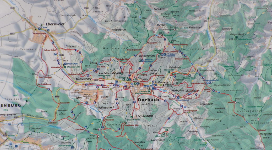
Trail Name: Durbacher Weinpanorama Weg

Trail Type: Medium distance circuit; tarmac or hard-packed (albeit some loose gravel here and there), well maintained, fairly well-marked, albeit not always easy to see. (Also see comments below.)

Length: total: 16 kilometers / 10 miles

Convenient to: Offenburg, Germany; Strasbourg, France

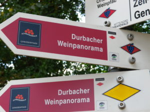
Marking: Signs with white letters spelling “Durbacher Weinpanorama”

Durbacher Weinpanorama Signs

Continue reading Weinpanorama Weg: Trail in a Nutshell

3 Grands Crus, 3 Villages, 1 Hike


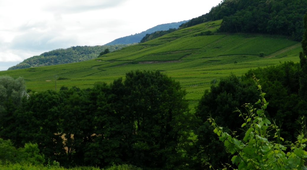
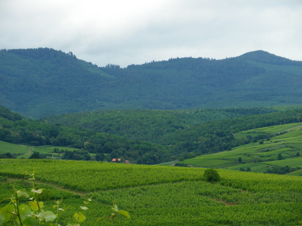
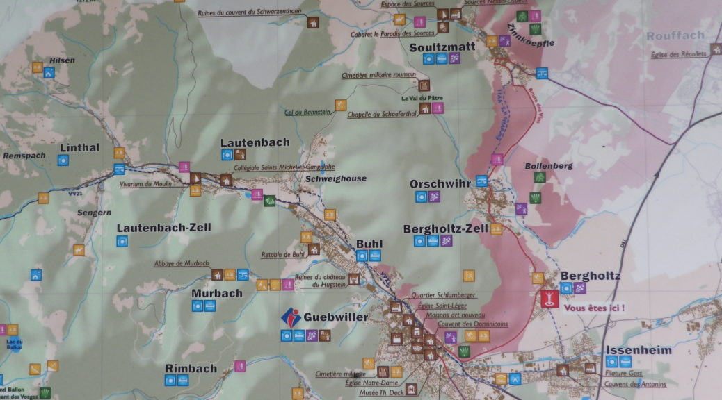
Some places seem designed for vineyards, and this was one of them. Outside Guebwiller, the slopes of the foothills of the Vosges run into a small mount. Like its opposing counterpart, the Bollenberg mount itself is cloaked in vines. While the Bollenberg vineyards are well-known, more importantly, the Bollenberg itself functions as a shield for the vines on the opposite slope. Protected from eastern winds, and fully exposed to the sun, this long, albeit non-contiguous stretch of slope, has on it not one, not two, but three Grands Crus.

From Vines to Pines
From Vines to Pines

Continue reading 3 Grands Crus, 3 Villages, 1 Hike

Wine Notes: South Alsace Grands Crus


What I Learned

Alsace’s wine producing region identifies certain vineyard areas as Grand Cru.  The Haut-Rhin (Upper Rhine department) area is particularly favored with some great terroirs. Spread roughly north to south, many of the most well-known crus are in the northern and central parts of this department. However, around the area of Guebwiller, there are several, and this post focuses on three.

Continue reading Wine Notes: South Alsace Grands Crus

Vignoble de Bergholtz: Trail in a Nutshell


Trail Name: Vignoble de Bergholtz

Trail Type: Medium distance circuit; trail surface mostly paved, with some hard-packed earthen sections, sometimes covered by loose gravel; well maintained, but the trail itself has no designated marking.

Length: 10 kilometers/ 6 miles (2.5 hours)

Convenient to: Colmar, or Guebwiller, France

Marking: None specific to the trail

Continue reading Vignoble de Bergholtz: Trail in a Nutshell

Wine Barrel Land


The Rhineland Palatinate’s Suedliche Weinstrasse wine district has long had a multi-faceted approach to its wine-making and wine tourism. From cooperatives to independent wine makers, from car routes to hiking and biking trails through the vineyards and towns where the production of wine takes place. These are not one-off trails. Rather they have been well-thought out, and are mutually supportive. One bicycle circuit I recently completed demonstrates these characteristics.

Suedliche Weinstrasse - An Abundance of Trails
Suedliche Weinstrasse – An Abundance of Trails

Continue reading Wine Barrel Land

Wine Notes: Northern Suedliche Weinstrasse


What I Learned

Red sandstone is one of the most striking features of the Suedliche Weinstrasse wine district. It shows up in the scenic rock formations, in the stonework of the local castles (of which there are many), and in the vineyards. This sedimentary rock gains its color from the iron oxide present in the original deposits. As a soil base for vines, it is rather good at retaining the sun’s heat. On the debit side, it is rather poor in nutrients.

Continue reading Wine Notes: Northern Suedliche Weinstrasse

Fassboden 6: Trail in a Nutshell


Trail Name: Fassboden 6

Trail Type: Short distance circuit; almost exclusively paved, the remainder hard-packed earth; well maintained, and fairly well marked.

Length: total: 18 kilometers/ @ 12 miles (1.5 hours)

Convenient to: Landau, Germany

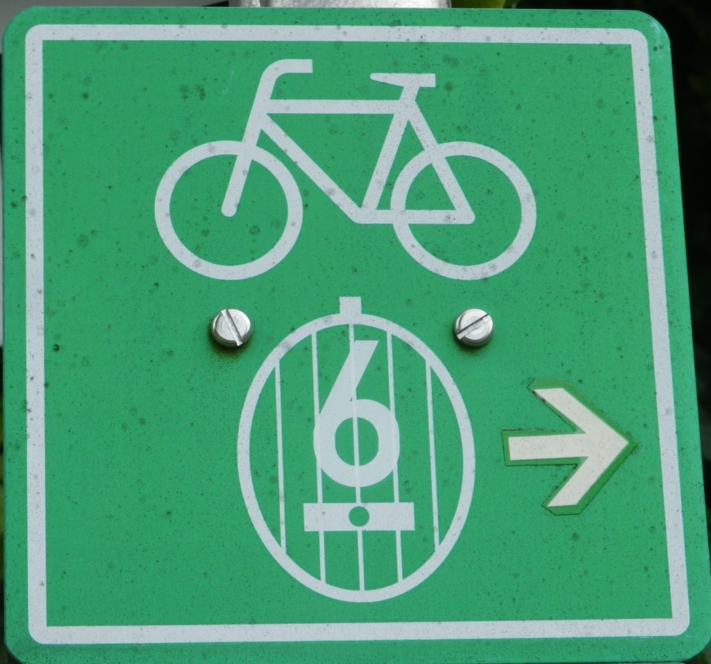
Marking: Green and white square sign, with white bicycle, wine barrel and number “6” in white.

Sign: Fassboden 6
Sign: Fassboden 6

Continue reading Fassboden 6: Trail in a Nutshell

Hiking Aargau Vineyards


Almost equidistant between Basel and Zurich, the little town of Klingnau came to my attention as the end point of a wine trail in the Aargau region. As a region, this small canton offers wine enthusiasts a surprising diversity. In addition to some good, and even some unique wines, wine culture is celebrated through festivals and learning opportunities such as wine education trails and museums.

Klingnau falls within the Upper Aargau sub-region of the Aargau wine region. Like much of the rest of the Aargau, this region lies along the Aare River. However, the hiking route began in the rolling hills to the east of the river. Because of the hilly terrain and the ample, green leaf cover this time of year, the river remained hidden from view for most of the hike. Consequently, to reach the river-side village of Klingnau, and the end of the hike, the trail covered a variety of landscapes, and several gentle ascents and descents along the way.
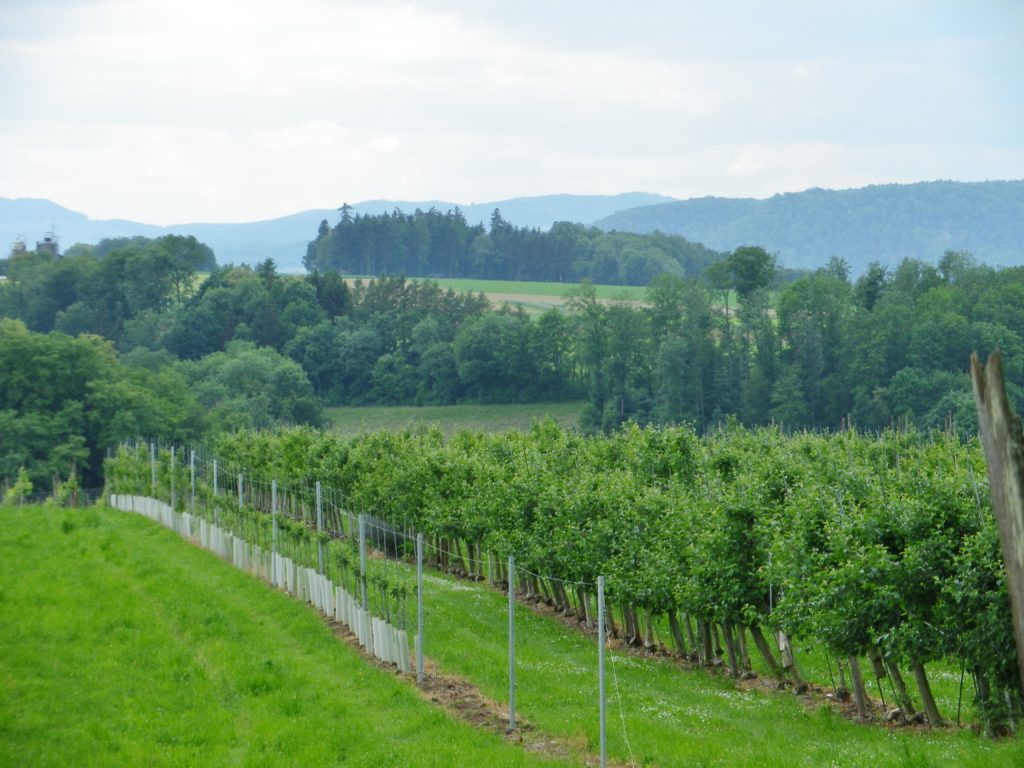
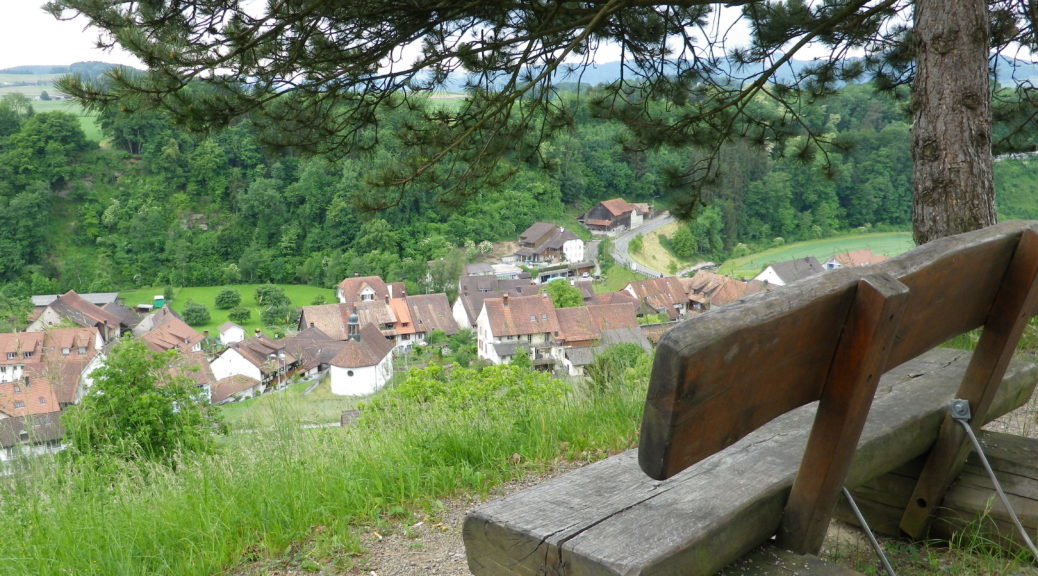
Aargau Scenery

Continue reading Hiking Aargau Vineyards

Wine Notes: Swiss Aargau Wines


What I Learned

The Aargau Wine Region in Switzerland essentially follows the Aare River as it meanders toward the Rhine. Soft, rounded hills where limestone predominates, and a relatively mild climate help create the environment here that favors vine cultivation. The region is sub-divided into 7 distinct vineyard areas, mostly ranging on the south-facing hills in valleys branching off the Aare.

Continue reading Wine Notes: Swiss Aargau Wines

Wein Wanderweg: Trail in a Nutshell


Trail Name: Wein Wanderweg

Trail Type: Mid-distance; almost exclusively paved or hard-packed surface, well maintained, well-marked route.

Length: total – 11 kilometers/ 6.8 miles

Convenient to: Waldshut, Germany

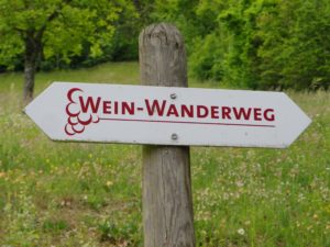
Marking: White rectangle with red letters: “Wein Wanderweg”

IMGP2383 - Copy

Continue reading Wein Wanderweg: Trail in a Nutshell