Tag Archives: Hiking and Biking European Wine Country

Water to Wine


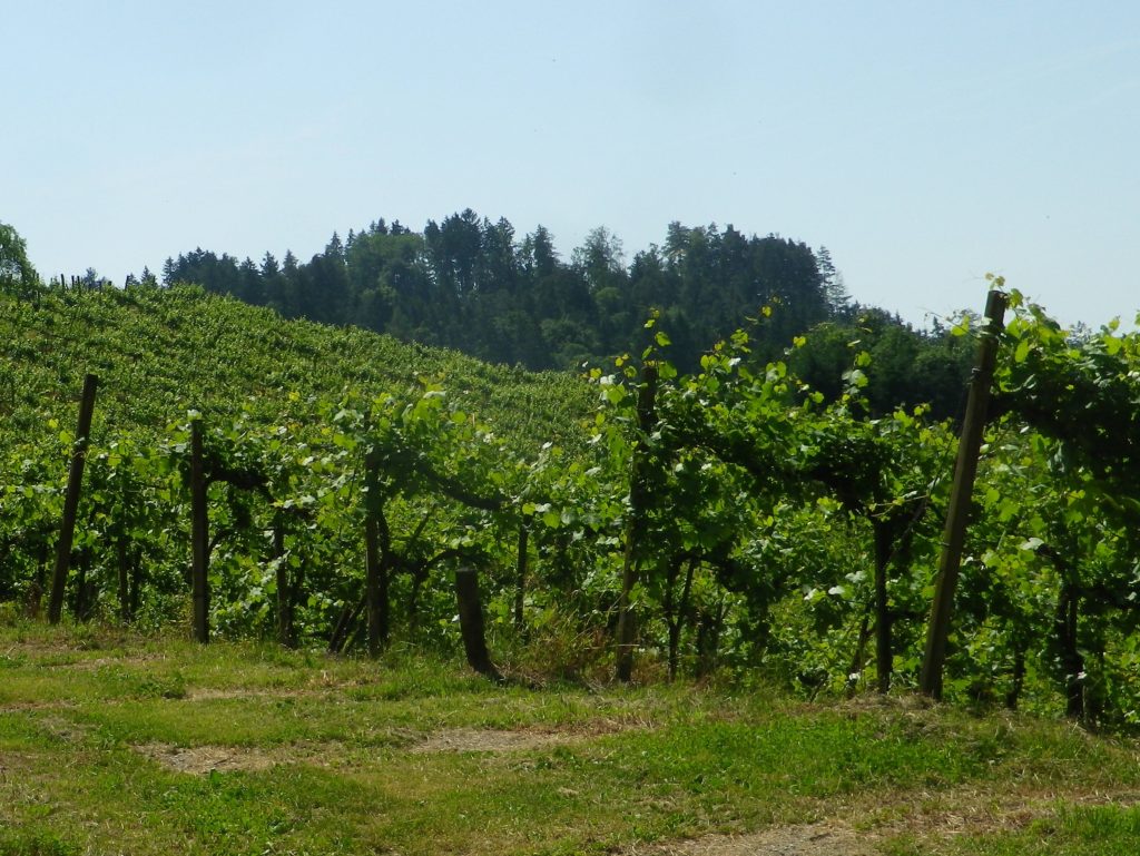
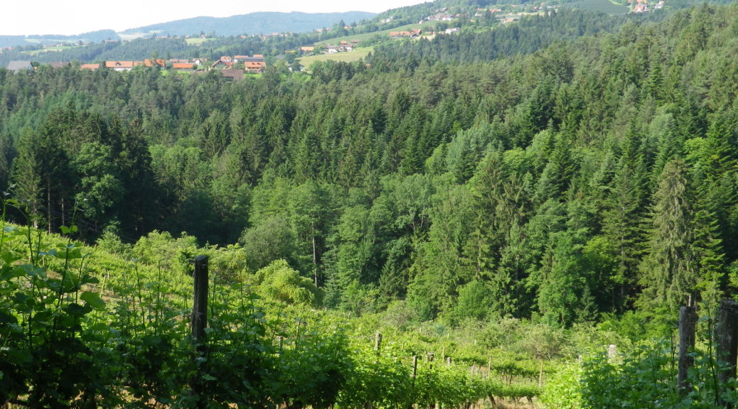
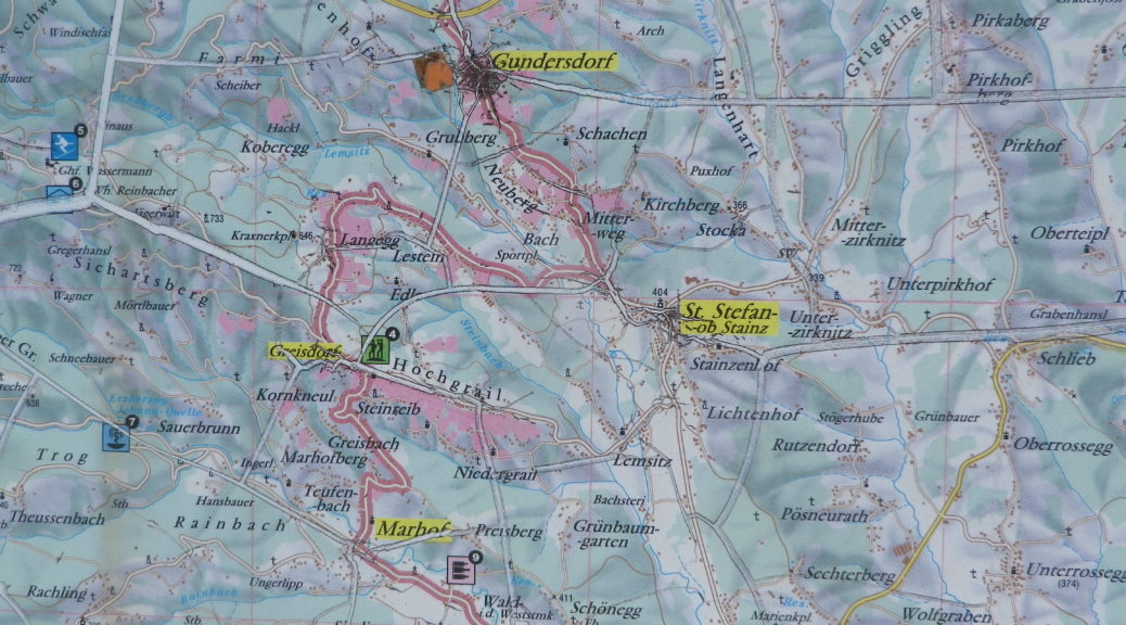
From water to wine, and wine-gardens, the literal translation of Weingarten, German for “vineyard.” That was both the theme and the reality of this circuit hike by Sankt Stefan ob Stainz. It was here in Styria, Steiermark, in German, that I began my exploration of the wines from this southeastern corner of Austria.

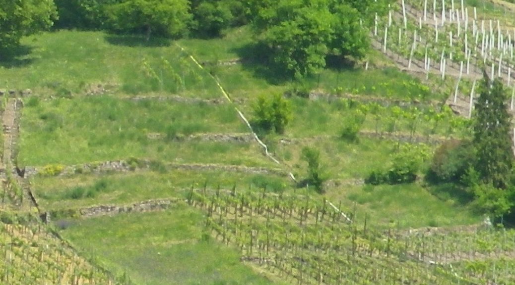
Vineyard near St Stefan ob Stainz

Continue reading Water to Wine

Wine Notes: Austria’s Steiermark


What I Learned

The Steiermark is a wine region in the southeast corner of Austria. It is called Styria in English. The Steiermark lies just north of the Slovenian Alps, and east of the Austrian ones. Within this political and wine entity, there are three wine sub-regions.

-The easternmost, the Suedoststeiermark lies closest to Hungary, from where gets some of its climatic influences. Its topography is moderately hilly in most places, and as the name for its Vulkanland district implies,  is influenced by remains of ancient volcanos.

-The southernmost, is the Suedsteiermark, which shares a long border, as well as a tradition of viticulture, with Slovenia.

-Then there is the Weststeiermark. It is known by Austrian wine-lovers, and promoted by the local tourism industry, as Schilcher-land, home to a rose wine of the same name.

Continue reading Wine Notes: Austria’s Steiermark

Zachgraben und Weingaerten: Trail in a Nutshell


Trail Name:  Zachgraben und Weingaerten (Zach Creek and Vineyards)

Trail Type: A mid-distance circuit trail; some sections maintained, others rougher, with varying surfaces, from paved to mud. This circuit is not marked (See comment)

Length:

Total – 10.1 kilometers/6 miles

Convenient to: Graz, Austria

Marking:

None (See comment!)

Continue reading Zachgraben und Weingaerten: Trail in a Nutshell

On Wuerttemberg’s Weinradweg


Wuerttemberg’s Weinradweg (Wine Cycle Route) complements this German state’s long-distance, wine-themed hiking trail, and extends a bit further south as well. When it comes to wine trails, both the hiking trail and this biking trail fall in the category of extensive. I had already hiked, and really enjoyed, parts of the 470 kilometers/292 miles-long hiking trail. I wanted to explore the bike trail as well.

Since I knew I would never complete the whole route, I decided to cover new ground, the area south of Stuttgart, along the Neckar River, one section of Wuerttemberg’s wine country that the complementary hiking route does not reach. Looking at the trail map, it is easy to see that the very first segment lends itself nicely to a circuit route: starting from Rottenburg am Neckar, and going to Tubingen, via the Ammerbuch valley, and returning to Rottenburg along the easy, popular and well-marked Neckar Valley bike trail.

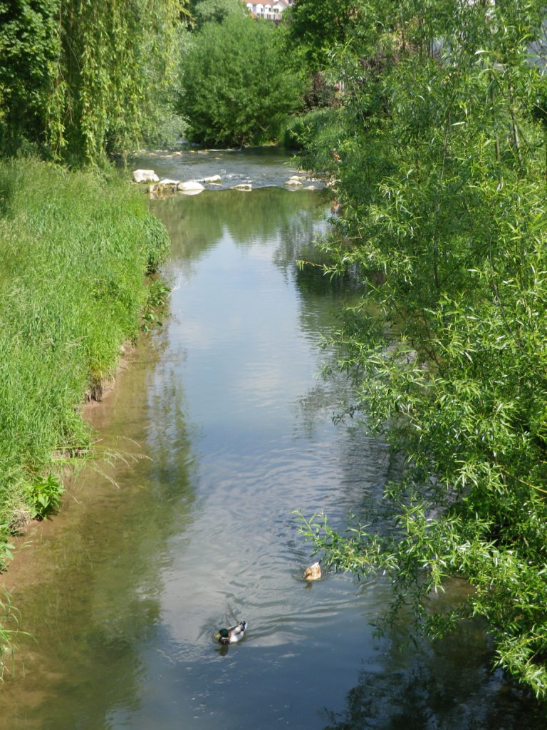
Ducks on the Ammer

Continue reading On Wuerttemberg’s Weinradweg

Wine Notes: Wuerttemberg’s Oberer Neckar


What I Learned

The Oberer Neckar, Upper Neckar, in English, is the smallest wine district in the Wuerttemberg Wine Region, with only about 30 hectares (acres) to its credit. The district’s name is due to its position in the upper third of the valley defined by the Neckar River. Its closest viticultural neighbors, Metzingen and Neuffen, as well as the Stuttgart Weinsteige, lie to the north (downriver) within the Remstal-Stuttgart wine district of the Wuerttemberg wine region.

Historically, the region’s vintners were challenged to get a crop undamaged to harvest. Tradition says that their wines were sour, and hence having a poor reputation for quality. Since 1990, that is changing. Helped by climate change (meaning better ripening for the grapes), and education, the wines are much improved.

Continue reading Wine Notes: Wuerttemberg’s Oberer Neckar

Wuerttemberger Weinradweg: Trail in a Nutshell


Trail Name: Wuerttemberger Weinradweg

Trail Type: Long distance; well-maintained and almost exclusively paved, marking on the trail very good

Length:

Total – 354 kilometers/219 miles

My segment – 32 kilometers/ 20 miles

Convenient to: Stuttgart, Tuebingen, Rottenburg am Neckar, Germany

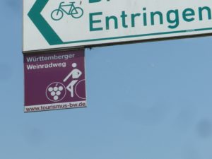
Marking: Square metal shield with a white-outlined stylized rider on a bicycle superimposed on a burgundy background

Wuerttemberger Weinradweg Sign

Continue reading Wuerttemberger Weinradweg: Trail in a Nutshell

Catalonia’s Cava Capital


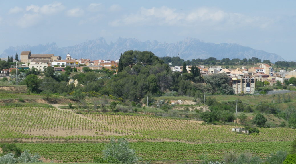
While Barcelona is the political capital of Catalonia, its cava capital is Sant Sadurni d’Anoia. This small town in the hills behind Barcelona is as devoted to cava as fans of sparkling wine are devoted to cava. Thus, the trail through the area around this town encountered plenty of wineries and vineyards, in a very rural area not far from Barcelona.

Countryside: Sant Sadurni


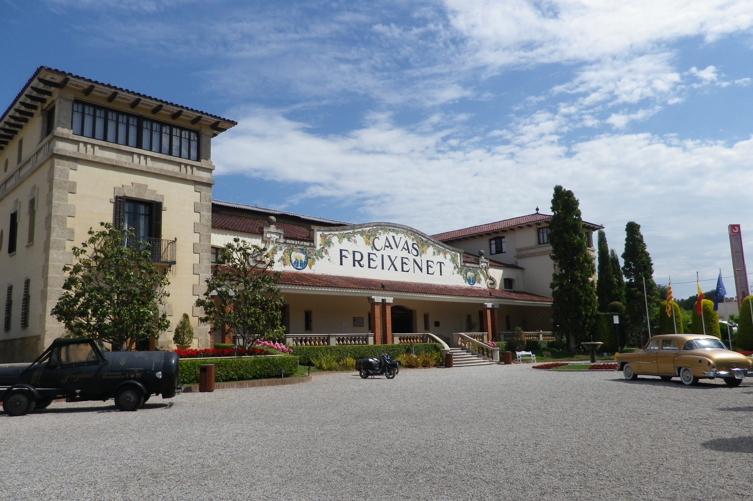
I began this trail from the train station in Barcelona. The train ride to Sant Sadurni was super easy from Barcelona. Not only that, but a special deal includes round-trip ticket with a tour of the Freixenet sparkling wine facility, which happens to be right next door to the station. So, after the informative tour, and the free tasting, I headed out on the trail.

Freixenet Cellars

Continue reading Catalonia’s Cava Capital

Wine Notes: Spain’s Cava


What I Learned

Spain’s sparkling wine, known as cava, is truly exciting. The range of grape varietals that can be included in the final cuvee is so diverse, and so unique in some cases, that the end product can be rather surprising to anyone who routinely enjoys other sparkling wines made in the Champenoise (Champagne) or traditional method.

Continue reading Wine Notes: Spain’s Cava

Can Mas de la Riera: Trail in a Nutshell

Trail Name: Can Mas de la Riera;  AKA: Ruta 1

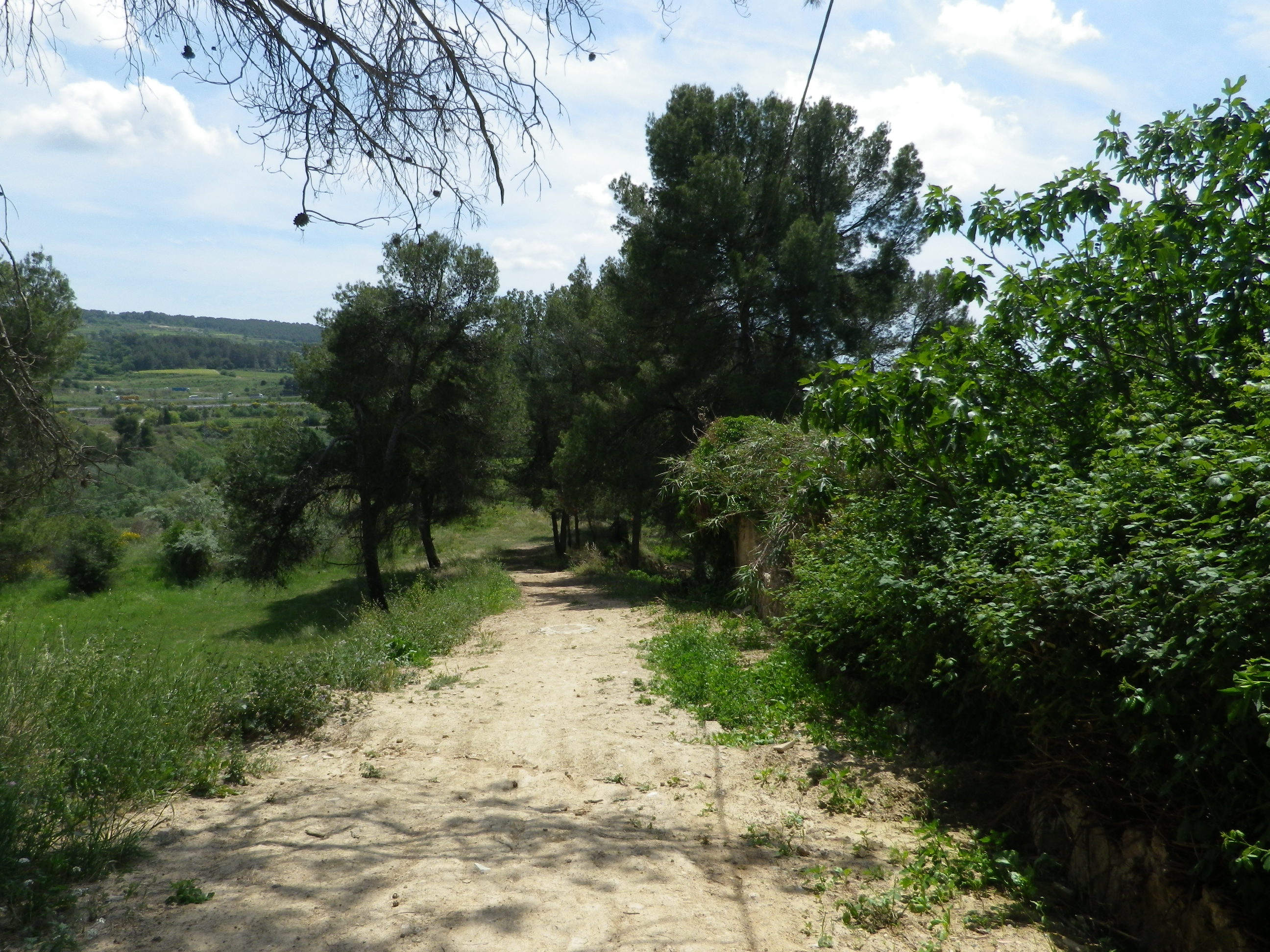
Trail Type: Short distance circuit; partly paved, partly hard packed earthen surface, and some rough trail, somewhat maintained, and marked a bit sporadically along the route itself, so bring a map.

Length: Total: 6.1 kilometers/ 3.8 miles

Convenient to: Sant Sadurni d’Anoia, Barcelona, Catalonia, Spain

Marking: Red grape leaf, or directional signs to itinerary points in a couple of places

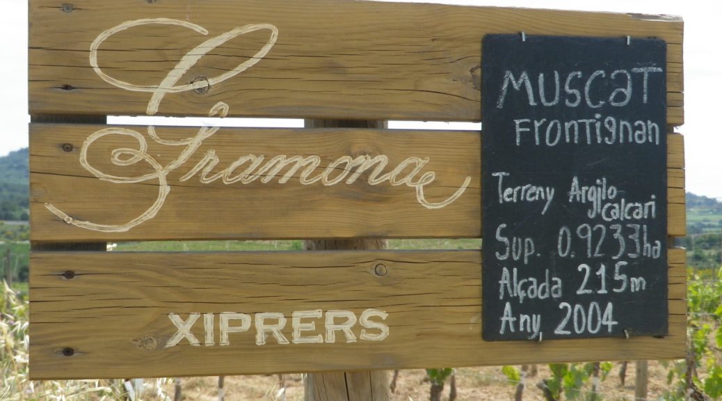
Signage: Can Mas de la Riera/Ruta 1

Continue reading Can Mas de la Riera: Trail in a Nutshell

A Spring Warm-Up in the Pfalz


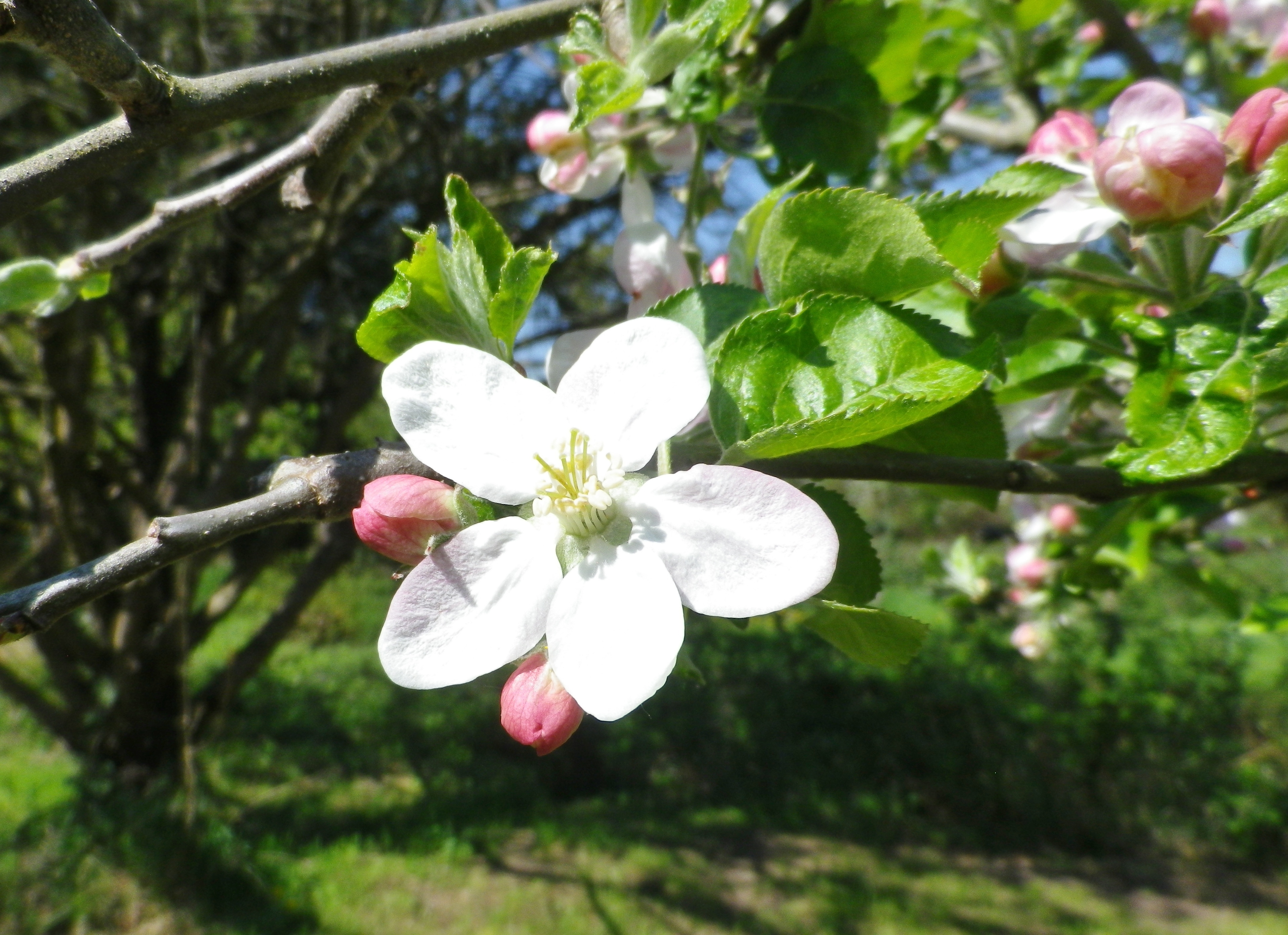
Spring blooms relatively early in the southern Pfalz. First, and perhaps the most spectacular of all, are the almond blossoms. Beginning in early March and continuing until mid-April, the profuse, brilliantly pink flowers seen against a cerulean blue sky, are a gorgeous sight. This magnificent spectacle prompted a long-distance hiking trail entitled the Pfaelzer Mandelpfad, or the Pfalz Almond Trail. While I unfortunately arrived just as the pink almond blossoms had faded, I could see the next tree blossoms on deck: the delicately colored white apple tree blossoms.

Apple Tree Blossom

Continue reading A Spring Warm-Up in the Pfalz