Tag Archives: hiking
A Good Witch
Kappelrodeck’s witch is a good one, IMHO. She brings happiness and casts an enchanting spell over the little town and its surroundings. Her spell succeeds in charming and beguiling all who make their way through the relatively narrow pass climbing along the Acher valley at the foot of the Black Forest Mountain range.
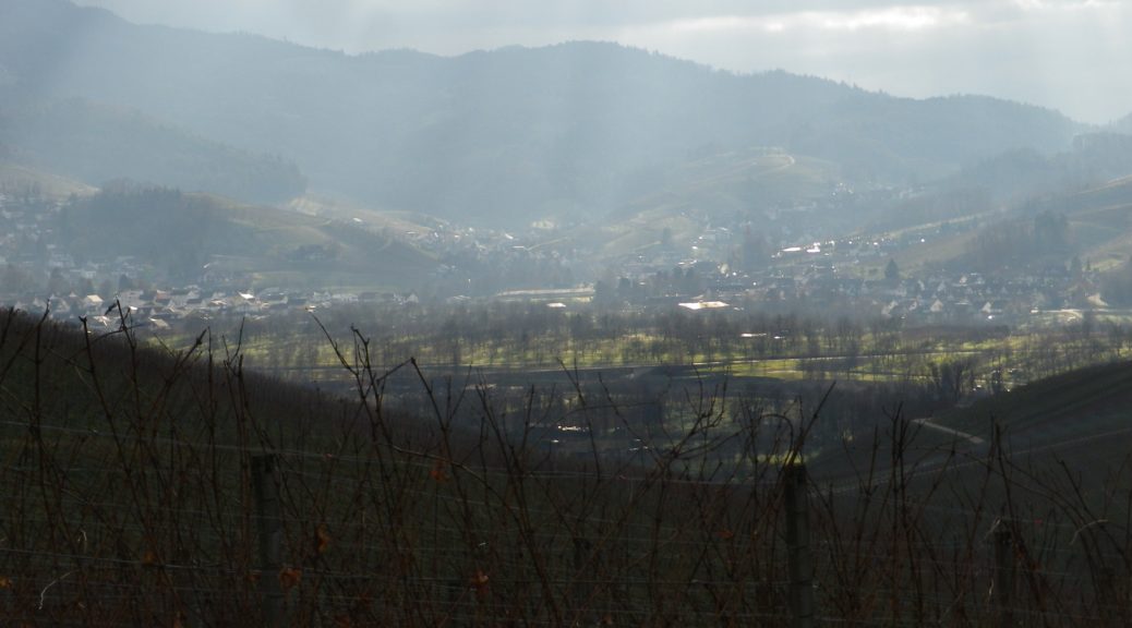
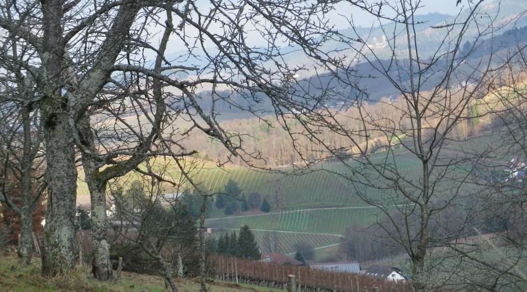
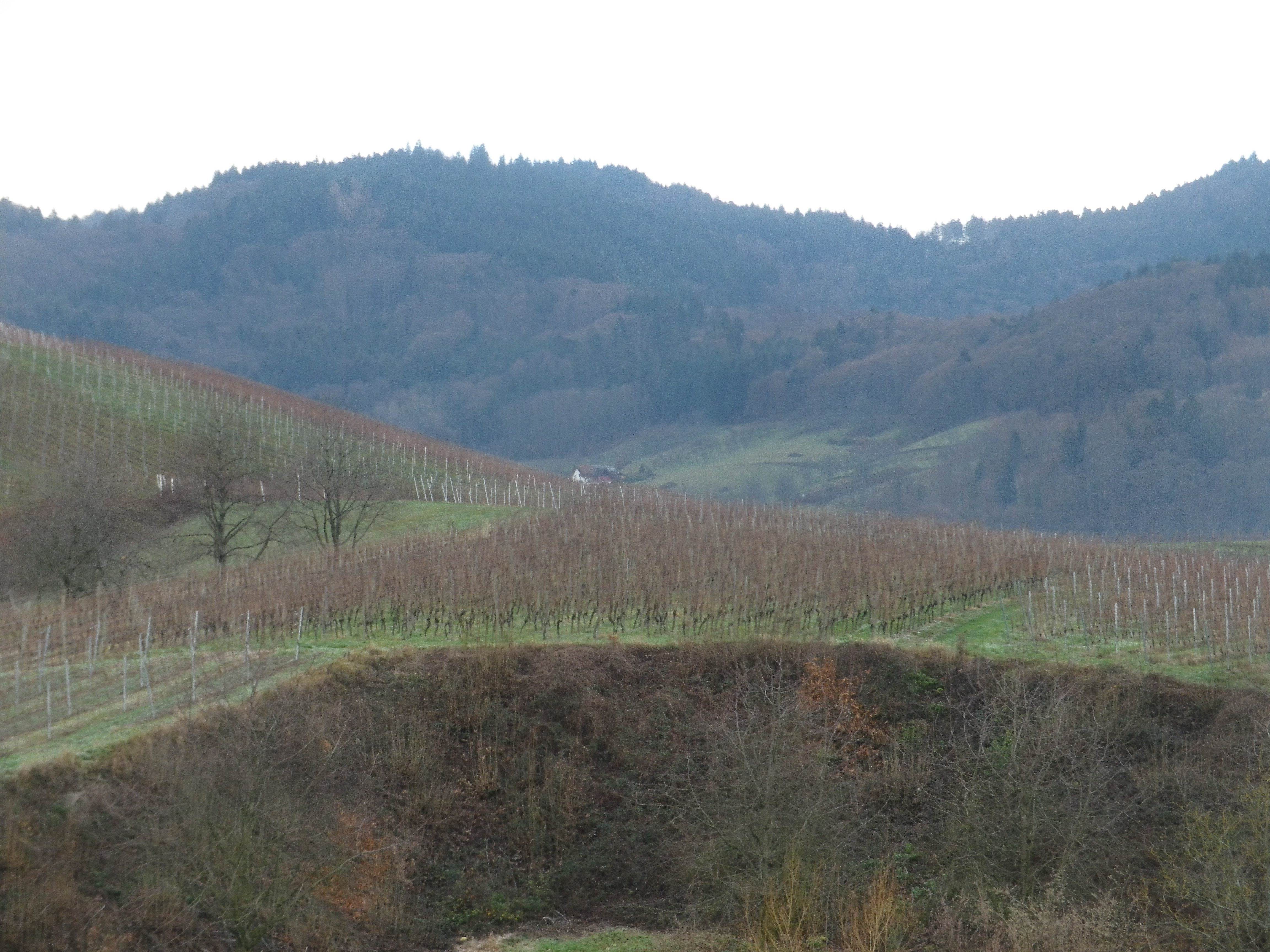
Certainly, the landscape bewitches with its fascinating geology and natural beauty! Hills mound about like lumps on the landscape. Most of their slopes contain vines. These face the sun at different times of the day. The sun, along with the rain (and snow in the winter), make these incredibly green. The tops of the hills are often covered with pines: Tall, dark and majestic. Behind them the Black Forest begins.
Durch Die Weinberge: Trail in a Nutshell
Trail Name: Kappelrodeck – Durch die Weinberge (Through the Vineyards)
Trail Type: A mid-distance circuit itinerary; well-maintained, and on mostly paved or even, hard-packed surfaces; marking on the trail is directional to the next itinerary point and not specific or exclusive to this itinerary.
Length:
Total – 10 kilometers/6 miles
Convenient to: Baden-Baden or Karlsruhe, Germany
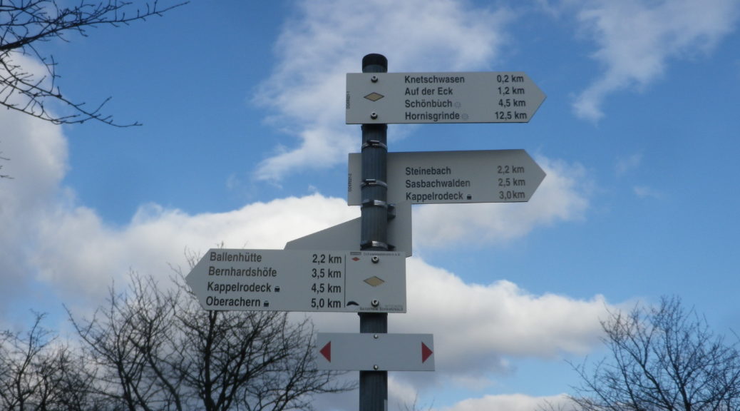
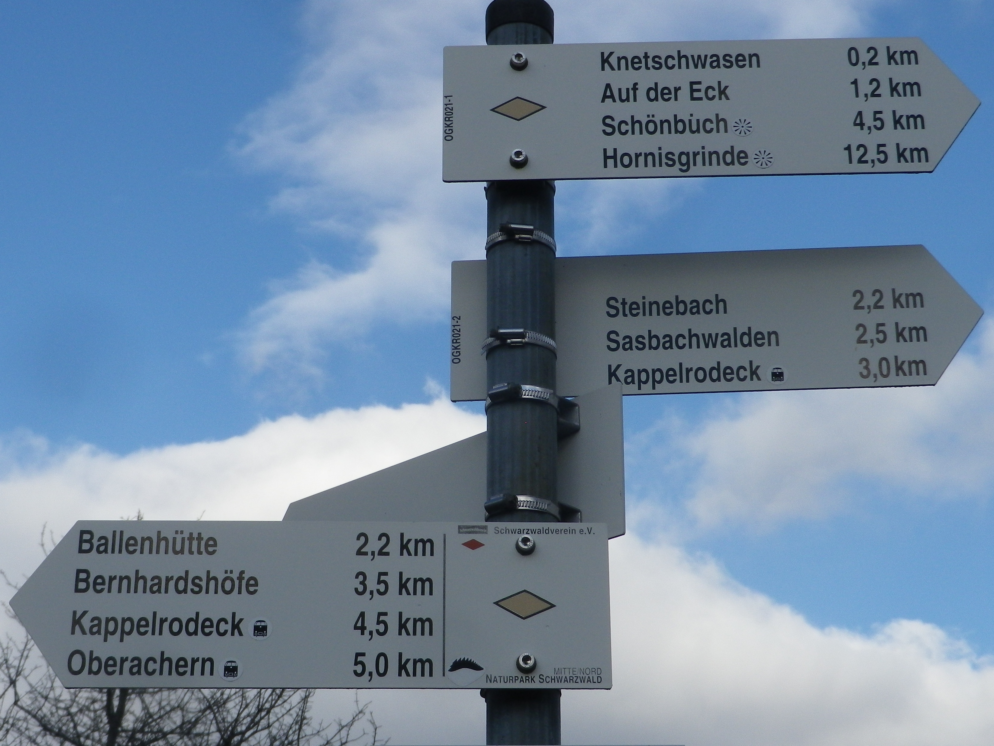
Marking: None specific to the trail, but a series of sign posts will indicate the way to the next one along the itinerary (See itinerary below).
Gallery December 2021
Hiking Valtellina’s Vineyards II
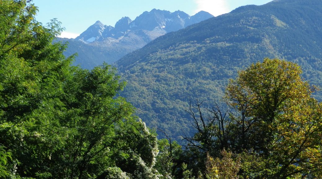
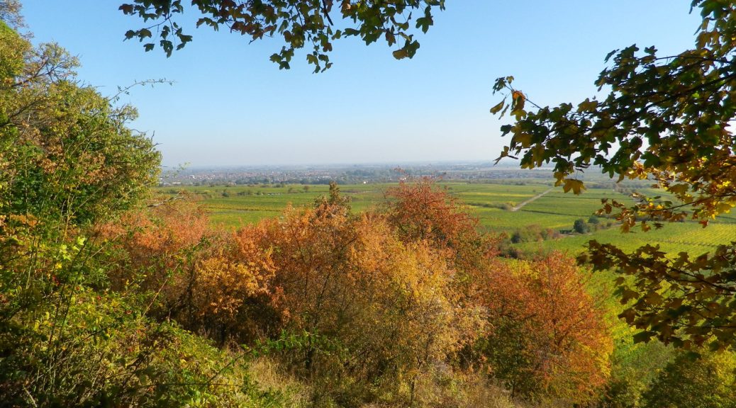
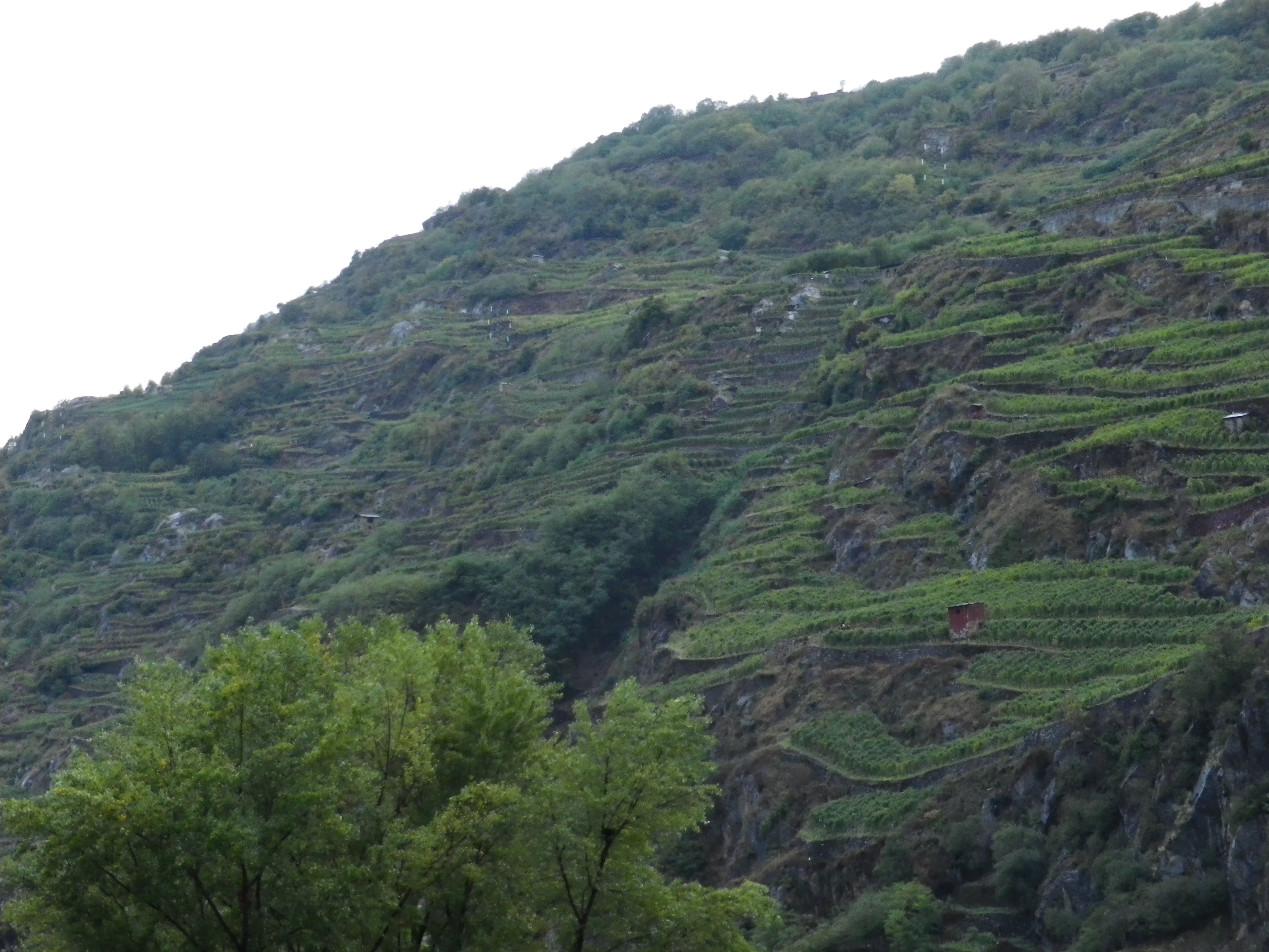
Because I sometimes wonder whether I appreciate wine enough, innumerable tastings notwithstanding, I will occasionally take the time to hike multiple stages of some of the longer European wine trails. That is the case with the Via dei Terrazzamenti (Terrace Way) in Italy’s Valtellina wine region. Set just south of Switzerland in the Lombardy province, this Alpine region is as awesome as it is daunting. I appreciate a physical challenge, and while the trail is not as difficult as it could be, given the rugged nature of the terroir, there are literally several breath-taking ascents. These sometimes seem to climb endlessly, but rejoice in it: the higher the climb the more expansive the views. Then there are the descents that will leave your legs feeling it.
Trail in a Nutshell: Via dei Terrazzamenti II
Trail Name: Via dei Terrazzamenti (Terrace Way)
Trail Type: Long distance; well-maintained, with a hard-packed, but occasionally uneven, surface; usually good marking on the trail
Length:
Total: 70 kilometers/43 miles (Morbegno – Tirano)
Mine: 14 kilometers/8.5 miles
Convenient to: Sondrio, or Tirano, Lombardy, Italy
Marking:
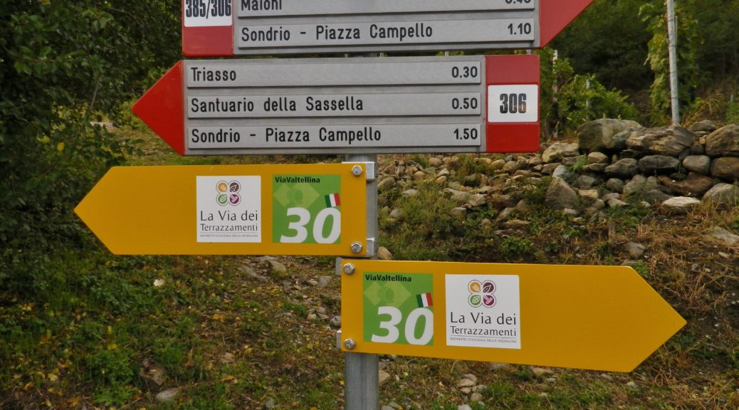
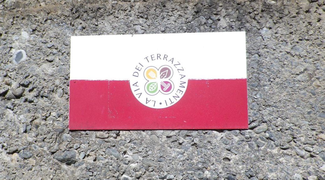
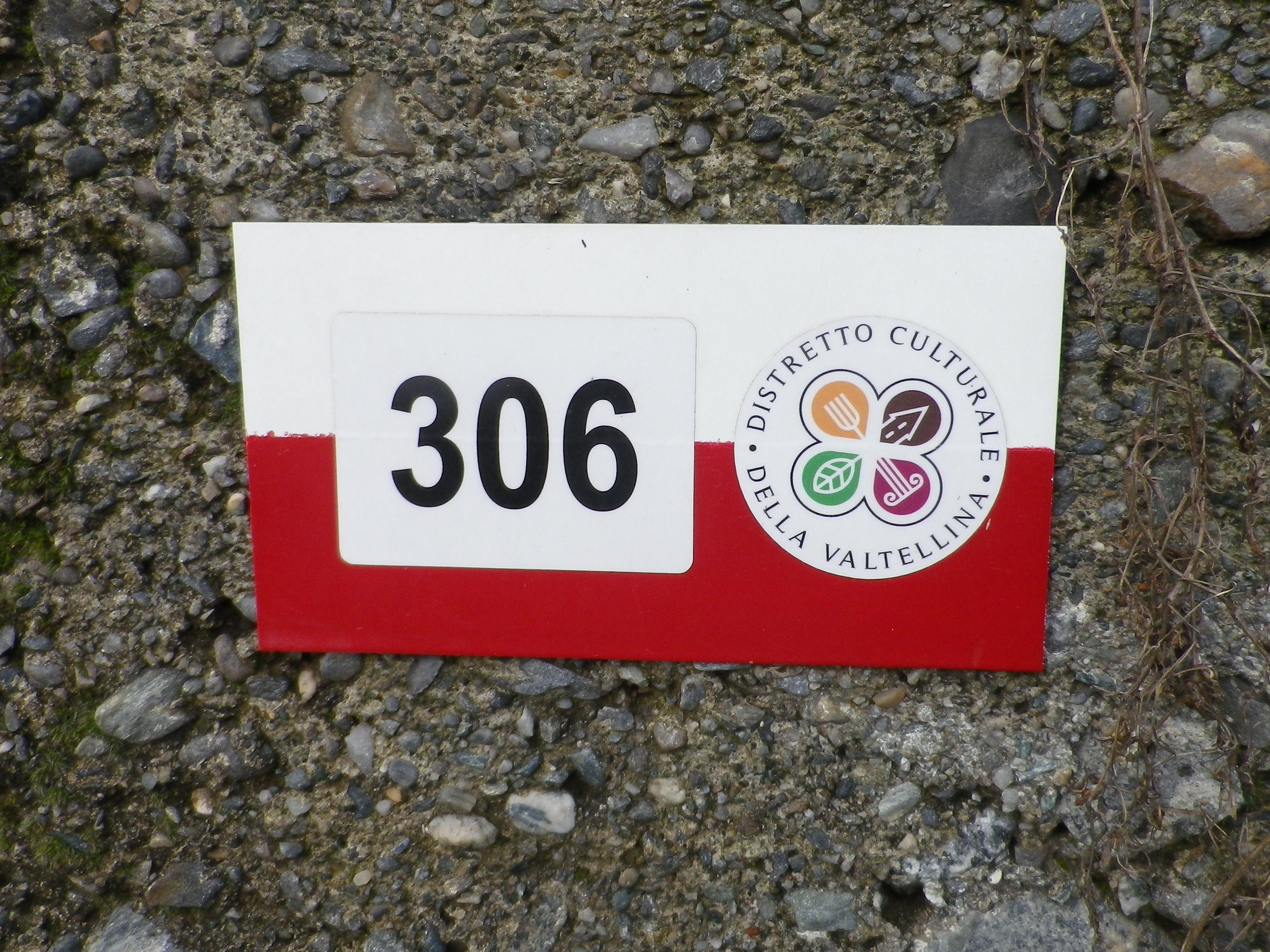
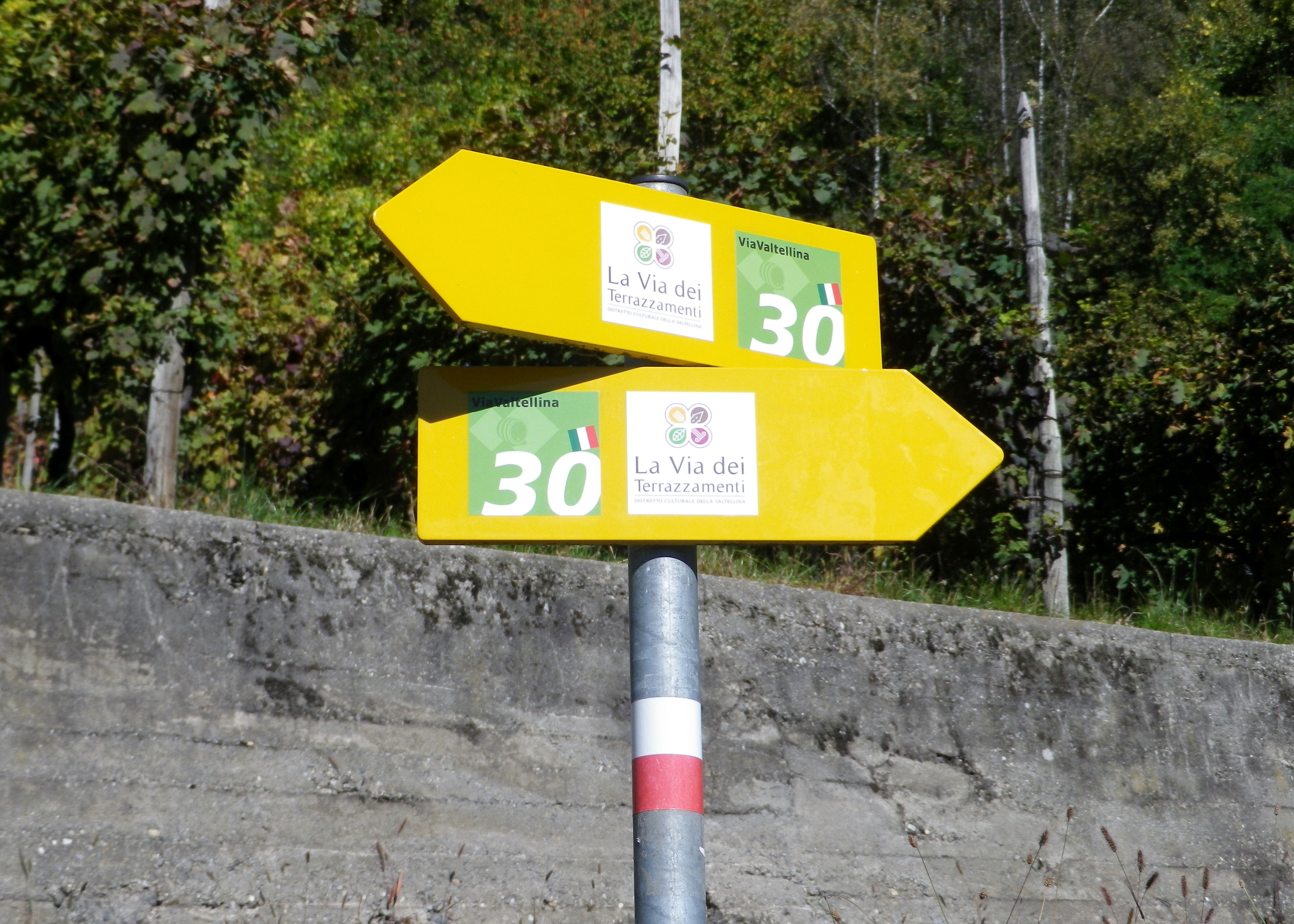
The words Via dei Terrazzamenti, accompanied by a logo resembling a four-leaf clover on a yellow arrow; sometimes the same logo is on a white bar over red bar rectangular sign (See the featured photo above, and the photo below.)
Continue reading Trail in a Nutshell: Via dei Terrazzamenti II
Valtellina Vineyards I
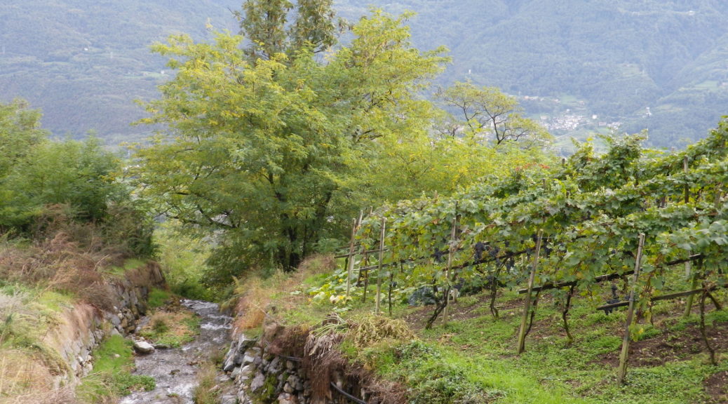
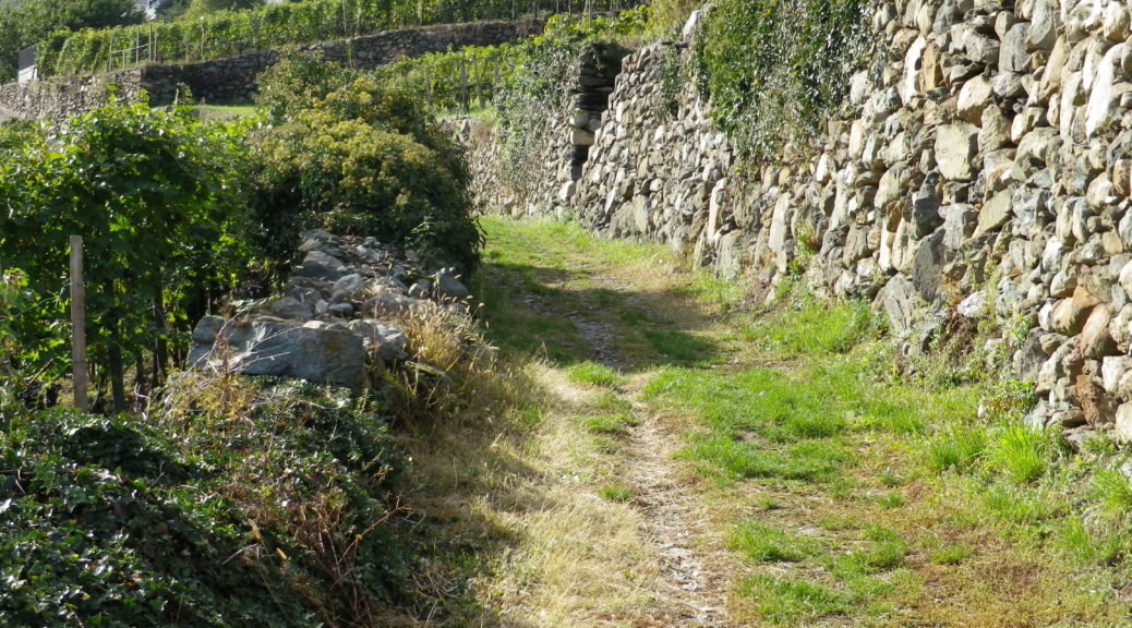
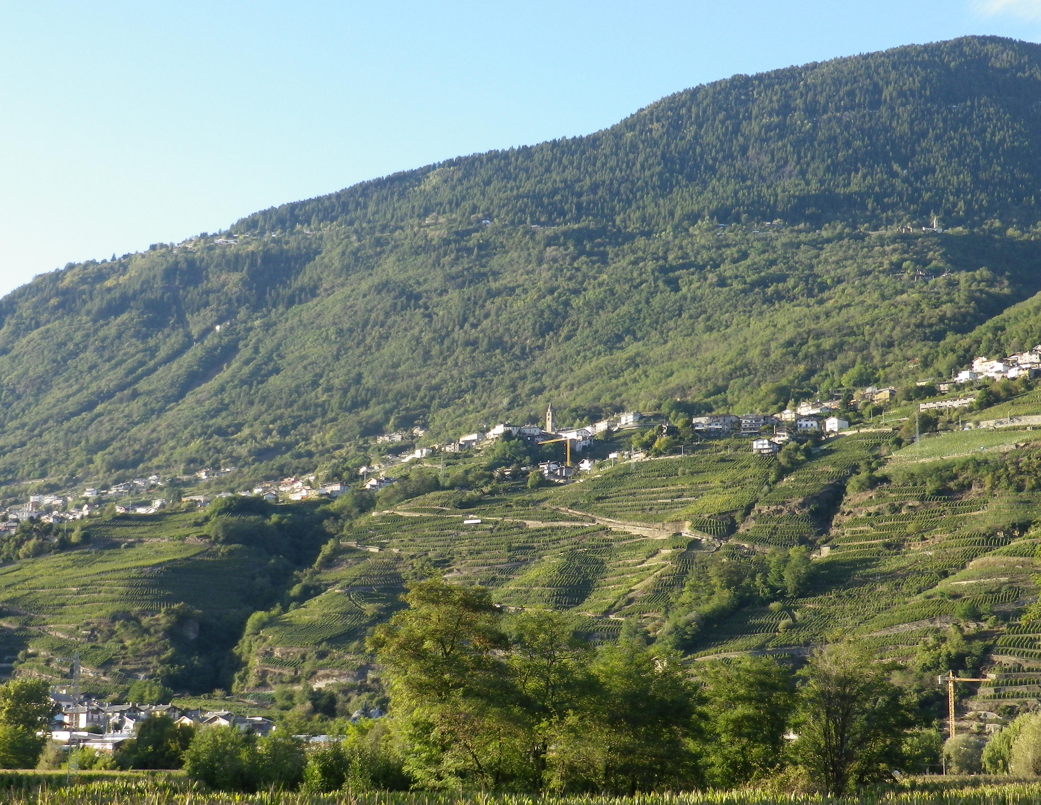
Strung together like a string of pearls, the vineyards of Valtellina occupy terraces along south-facing mountainsides in this spectacular Italian wine region. The vineyards climb vertiginously away from towns along the Adda River, up to villages clinging to the side of the mountain.
Trail in a Nutshell: Via dei Terrazzamenti
Trail Name: Via dei Terrazzamenti
Trail Type: Long distance; well-maintained, with a hard-packed, but occasionally uneven surface throughout, usually there is good marking on the trail, but it tends to disappear in villages and towns.
Length:
Total: 70 kilometers/43 miles (Morbegno – Tirano)
Mine: 14 kilometers/8.5 miles (Chiuro – Ponchiera)
Convenient to: Sondrio, or Tirano, Lombardy, Italy
Marking:
Words “Via dei Terrazzamenti” on a white background with a four-leafed clover design inside; sometimes associated with a metal yellow arrow.
White over red horizontal bars indicate a hiking trail generically
Note: The photo below shows all of the above, with the addition of an extra sign on the yellow arrow, (with a number thirty), indicating a different trail as well.
Climbing for Wine
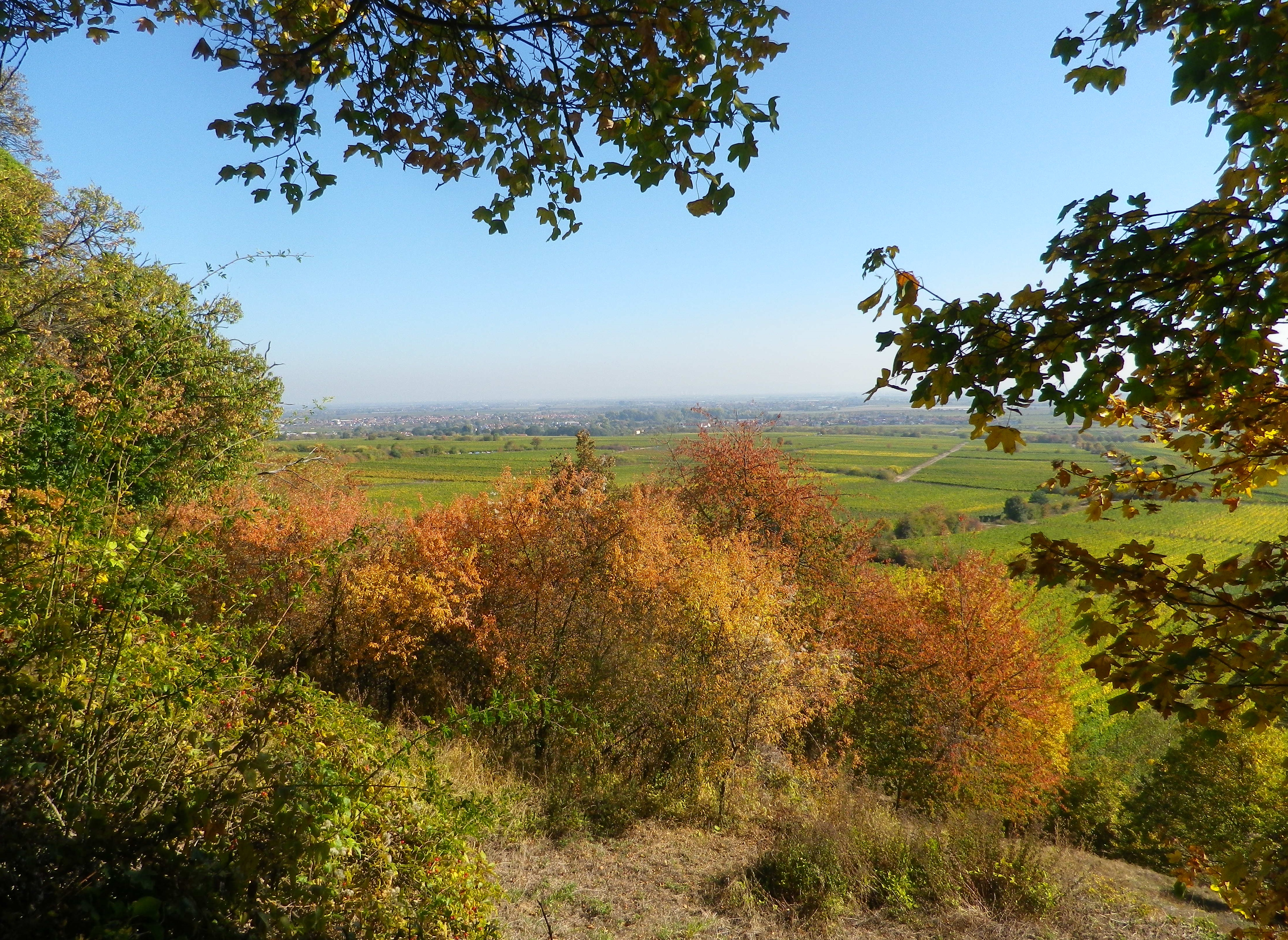
The climbs were steep, but the views were very rewarding. With more time, I would have done more climbs. In fact, in my castle hiking days, I had already hiked to several highpoints and castles on this trail: the Neuleiningen, the Wachtenburg, Hambacher Schloss, the Kalmit lookout, and that is just in the Mittelhaardt district. But at 185 kilometers, I didn’t have enough vacation days left! So perhaps on some other trip to Germany, I will be able to complete the Pfaelzer Weinsteig Trail.
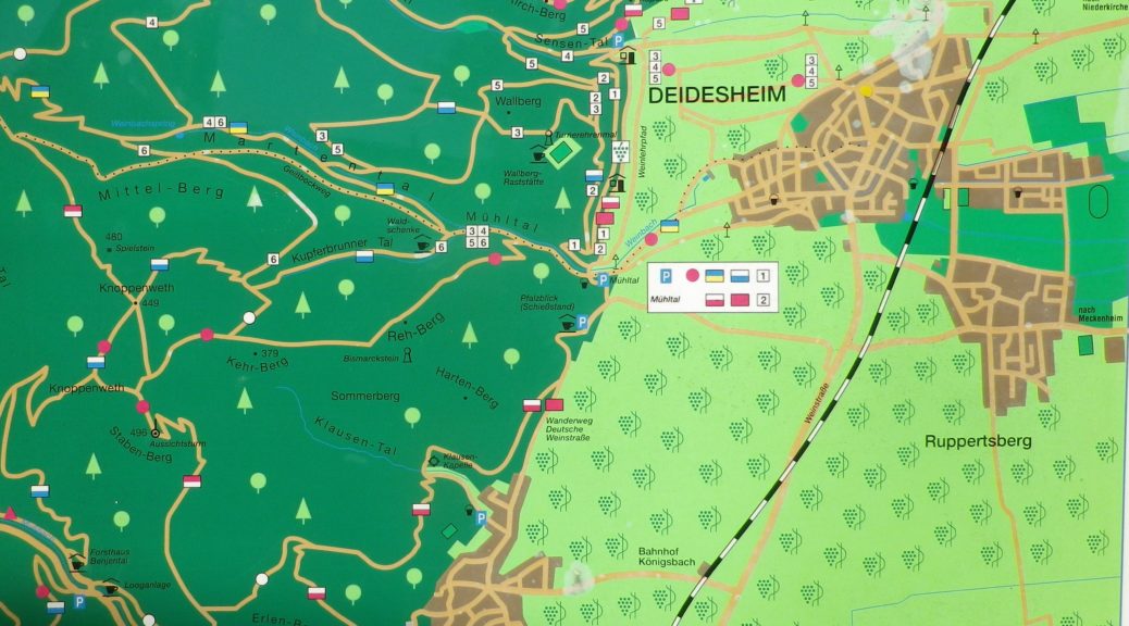
For hikers looking for an intimate experience of the Pfalz wine region, this trail covers much of the region, as does the Wanderweg (Hiking Trail) Deutsche Weinstrasse (see the Nutshells here and here). The similarities between the two is that each pass through famous wine towns and villages, where there are countless opportunities to sample the wines and visit wineries. They both also cover a variety of landscapes from urban, to vineyard to forest. The big difference is the level of difficulty. The Wanderweg Deutsche Weinstrasse is rather easy, with only a few steep climbs into woodlands. On the other hand, the Pfaelzer Weinsteig climbs from the villages, often located at the base of the hills, far into the hills of the Pfalzer Wald forest. In that sense, the trail is physically more challenging, and more diverse.
Pfaelzer Weinsteig: Trail in a Nutshell
Trail Name: Pfaelzer Weinsteig
Trail Type:
Long distance trail; well-maintained albeit with some rougher stretches along the segments through the forest and hills, naturally, marking on the trail very good overall
Length:
Total – 185 Kilometers/114 miles
Stage 4: 20 kilometers/12.5 miles (Deidesheim to Neustadt an der Weinstrasse)
My segment*- 7.5 kilometers/ miles (Train station, Deidesheim to Gimmeldingen)
Convenient to:
Bad Duerkheim or Neustadt an der Weinstrasse, Rheinland-Pfalz, Germany
Marking:
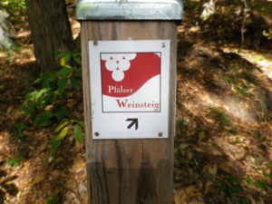
Red and white square, with white grapes on red background, trail name in red and white letters, alternatively simply red over white stripes
