Tag Archives: hiking

Wine Notes: Switzerland’s Sankt Gallen


What I Learned

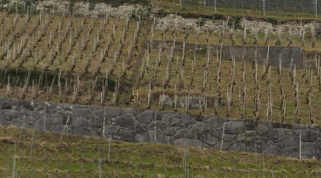
The Swiss Appellation d’Origine Controlee Sankt Gallen in eastern Switzerland, has two districts, both in Sankt Gallen Canton: the Oberland and the Rheintal. The Rheintal district lies on the west side of the Rhine River valley before it enters Lake Constance and consists of parcels in select spots between Rheineck and Rebstein, along with a smaller section by Bad Ragaz. Less than 130 hectares (320 acres) of vineyards exist in total. Planted on slopes that rise (somewhat steeply by Berneck and Pfaefers) from the valley floor, the highest vines are in Pfaefers. Mueller-Thurgau and Blauburgunder (Pinot Noir) are the most planted varietals.
Continue reading Wine Notes: Switzerland’s Sankt Gallen

Monsteiner Rebweg: Trail in a Nutshell


Trail Name: Monsteiner Rebweg

Trail Type: A short distance circuit; well-maintained, partly paved, with stairs in places, good marking on the trail.

Length:

Original – 4.8 kilometers/ miles

Extension – 6.4 kilometers/ miles

Convenient to: Bregenz, Austria

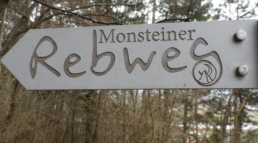
Marking: Signs with the words “Monsteiner Rebweg”. See the photo above.

Continue reading Monsteiner Rebweg: Trail in a Nutshell

Burgunderpfad: Trail in a Nutshell


Trail Name: Burgunderpfad

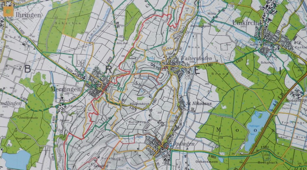
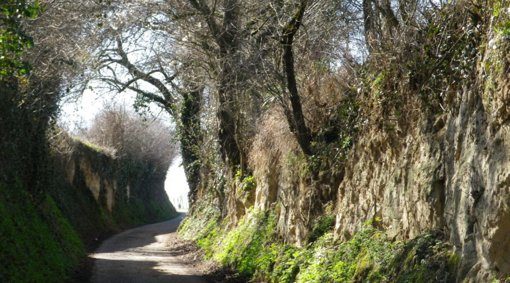
Trail Type: Long distance hiking trail; varied surfaces from grass to hardpacked dirt, to asphalt; well maintained, and mostly well-marked.

Length:

Total: 27.5 kilometers/ 17 miles

Segment (mine): Gottenheim to Munzingen: 17.5

Convenient to: Freiburg, Germany

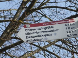
Marking: Purple grapes with light green terraces in profile, in a white circle, on a red stripe

Continue reading Burgunderpfad: Trail in a Nutshell

The Burgundies Path


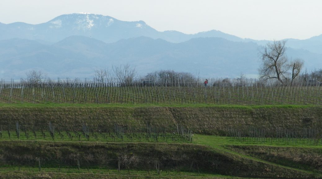
When I think back on all the wine-themed hiking paths I have done, the Burgundy Path in southern Germany will always be one of my favorites. What is not to like about this trail through peaceful agricultural land, and laid-back villages, in Germany’s warmest, sunniest and driest area!

The Tuniberg is by the Kaiserstuhl, a unique geographical outcropping formed by volcanos. However, the Tuniberg, on the southern edge, is a giant bank of limestone, which extends roughly north-south for over a dozen miles. Its sometimes steep slopes stand higher than the Rhine River valley lands around it. This affords great sun and wind exposure, which combined with a goodly amount of sun for an area this far north, and limestone soils, makes it the “Burgundy Oasis” in Baden.

Kaiserstuhl

Continue reading The Burgundies Path

WeinWetterWeg: Trail in a Nutshell


Trail Name: Hatzenport WeinWetterWeg

Trail Type: Mid-distance circuit; well-maintained, varied trail surfaces from rock, to scree, to grass and tarmac; excellent signage along the trail.

Length:

Total – 12 kilometers/ 7.5 miles

Convenient to: Coblenz, Cochem, Germany

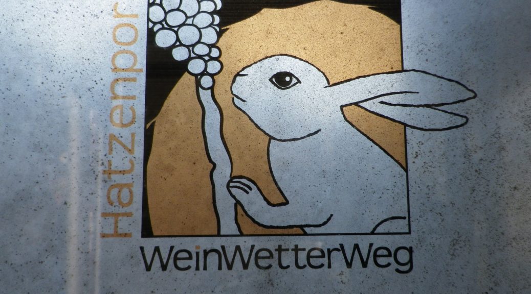
Marking: A white rabbit and grapes, with directional arrow diagrams

WeinWetterWeg Signage

Continue reading WeinWetterWeg: Trail in a Nutshell

Dragon’s Blood Wine


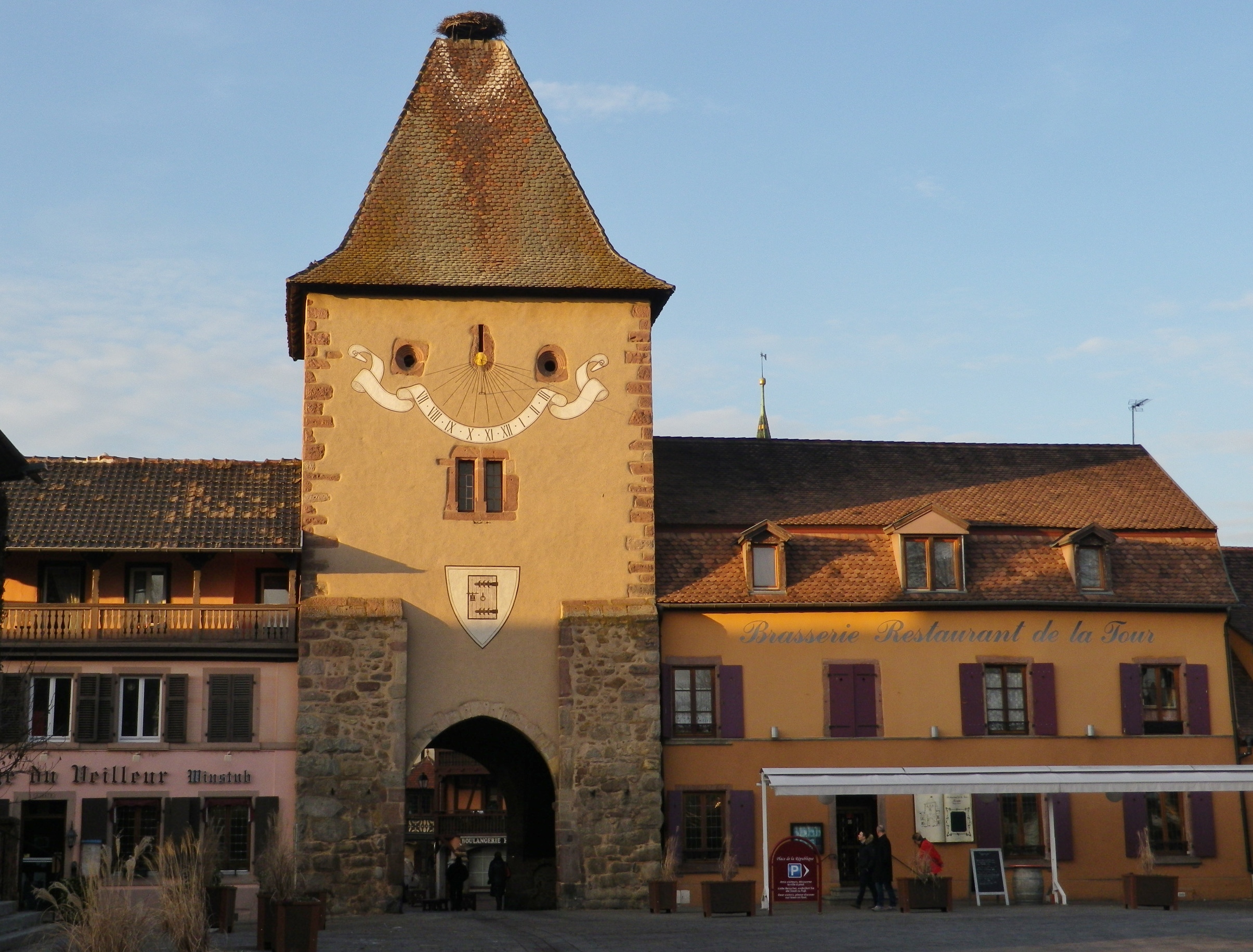
Now encircled by stout walls, in the distant past the lands of Turckheim once faced a threat from a fierce foe – a dragon. Ultimately vanquished, the dragon’s blood spilled on the side of a hill, where its warmth and power rendered that soil very fruitful. Thus, both the town and its legend nowadays serve its tourism as well as its wine industry.

Turckheim is a compact town, running along the bank of a small river. Its walls back against the very hillside that has brought it fame in the wine world: The Brand. Rugged, covered in vines and topped by pines, it is very picturesque; as is the old town center, with its walls, gate towers and half-timbered houses. Fortunately, a hike dedicated to the town’s wines from its most famous cru, is available as well.

Porte de France, Turckheim

Continue reading Dragon’s Blood Wine

Turckheim et Le Brand: Trail in a Nutshell


Trail Name: Turckheim et Le Brand

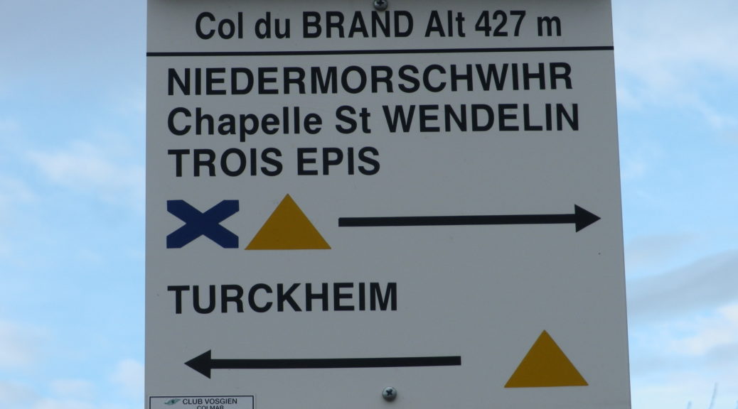
Trail Type: Short distance circuit; almost exclusively paved or hard packed surface, well maintained, but the route itself is not specifically marked for this trail.

Length: Total: @5 kilometers/ 3 miles

Convenient to: Colmar, France

Marking:

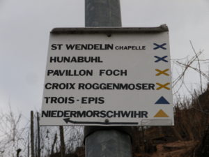
Turckheim to Niedermorschwihr: Blue X

Niedermorschwihr to Turckheim: Yellow triangle

Trail Markings in Turckheim

Continue reading Turckheim et Le Brand: Trail in a Nutshell

Winter in Sommerhausen


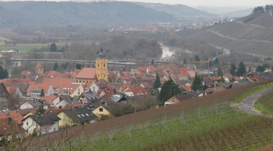
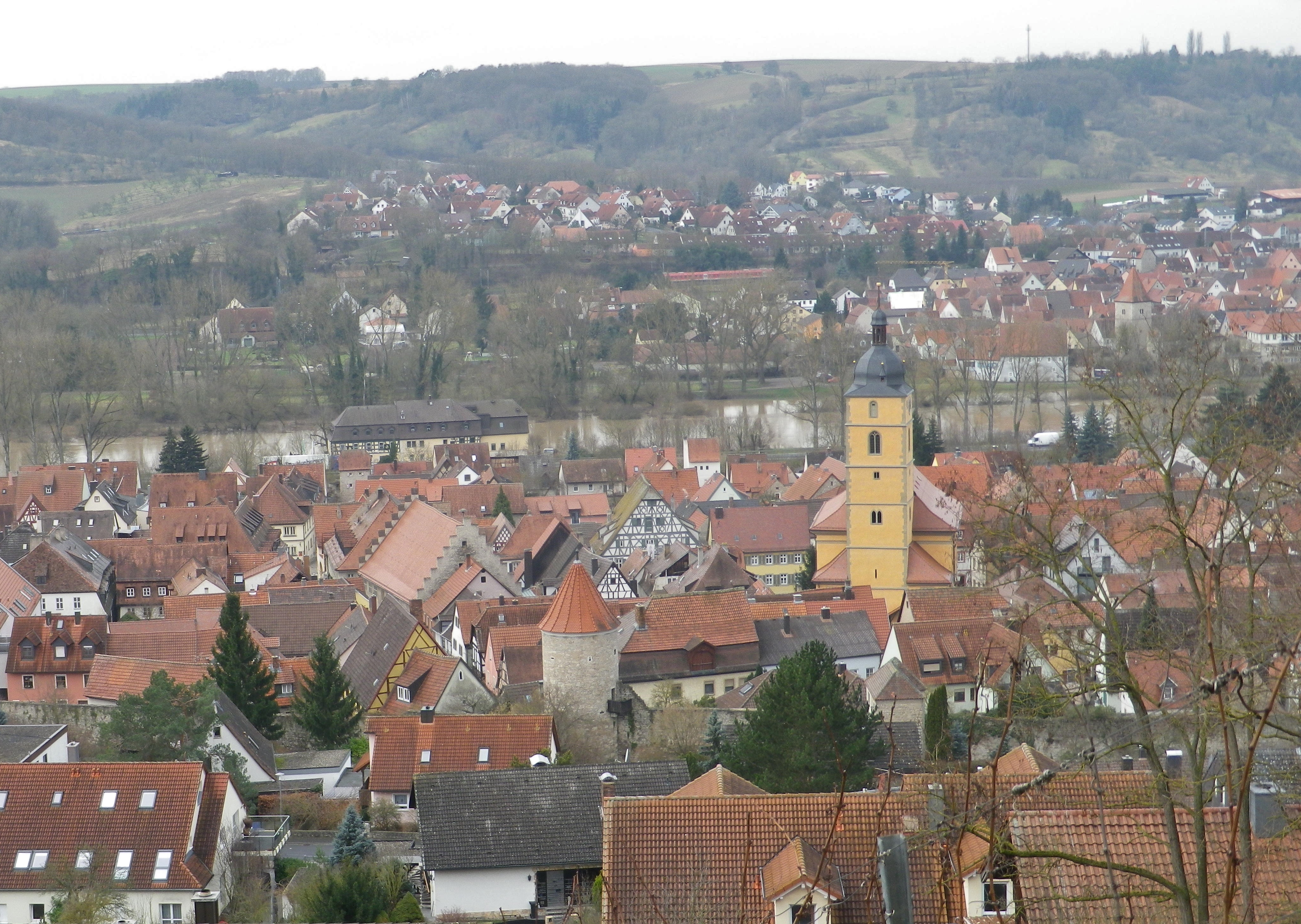
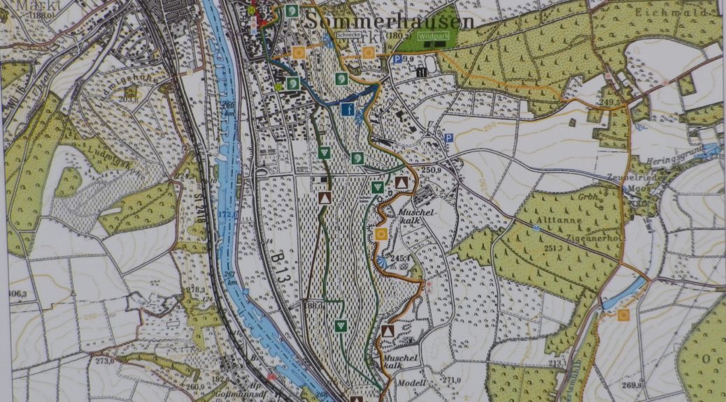
The “Sommer” in Sommerhausen means summer in German, but there were no signs of it the day I was there. Dark, windy and spitting rain, as is normal in the winter here, it was a good day to follow the Weinsbergweg, the town’s trail devoted to its wines, along the slopes lining the Main River, about 8 miles south of Wuerzburg.

Town Center, Sommerhausen

Continue reading Winter in Sommerhausen

Weinbergsweg: Trail in a Nutshell


Trail Name:  Weinsbergweg (incorporating the shorter educational Wein-Kulturweg) Sommerhausen

Trail Type: Short distance circuit; well-maintained and almost exclusively paved, (or with very hard-packed earthen surfaces), and with excellent marking throughout the trail.

Length: Total – 6 kilometers/ 3.75 miles

Convenient to: Wuerzburg

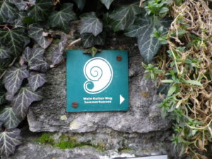
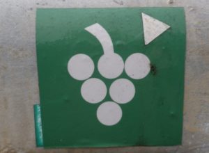
Marking: Snail, and White grapes on a green background, or on tarmac (see trail photo below)

Sign Wein-Kultur Weg


Another Sign for Weinbergsweg

Continue reading Weinbergsweg: Trail in a Nutshell