Tag Archives: hiking

Sentier des Terroirs: Trail in a Nutshell


Trail Name:  Sentier des Terroirs

Trail Type: Short to mid-distance circuit trail; well-maintained and widely varying surfaces from paved to very rough, marking on the trail very good in places, completely missing in others

Length:

Total – About 18 kilometers/11 miles

Southern/yellow circuit: 9.35 kilometers/5.8 miles.

Convenient to:

Montelimar or Nyons, France

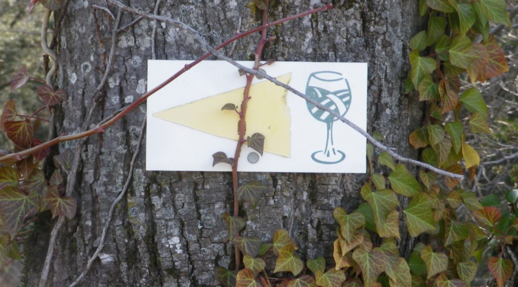
Marking: Numbered wine bottles (some missing) in part, red or yellow arrows with a stylized vineyard area depicted in a wine glass, in other places
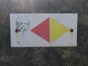
Signage for Red and Yellow Trail where Conjoined

(The featured photo on top shows signage for the Yellow trail only.)

Trail Description: A relatively easy, family-friendly and varied trail offering wine education (close to the village), garrigue and vineyard landscapes, overlooked by tall mountains to the east. The trail has two conjoined circuits, making it possible to adapt hiking plans, depending on available time or weather situations. (See the comment below about flooding.)

Trailhead:

St Pantaleon-Les-Vignes: By the townhall (with church-like tower); or Cave Vignerons, Route de Nyons 1

Parking:

St Pantaleon: just off traffic circle, or by the town hall (Mairie), D548 x D541, and by Chateau Urdy

Public Transportation Options:

Rail: The closest rail service is at Montelimar, with good connections plying the major French North-South artery of the Rhone.

Bus: Buses provided by the Auvergne-Rhone-Alps Region (Oura on the website) “Cars Region” service, frequently connect Saint Pantaleon, Rousset, and Taulignan, with Montelimar, (and the rest of France).

Suggested Stages:

The full trail (both northern (heading to Rousset les Vignes) and southern halves) can be done together, or separately.

Trail Itinerary-Reference Points: (Southern circuit only – Clockwise)

Traffic circle on D 541/Rte. de Nyons – Montelimar, D548 -Grand Grange, right fork to Route des Juliannes; La Beaume, cross bridge over the Rieumau creek, Cross D541/Plan du Gre/Rte. de Nyons; Fontaine de Barral; Chapel; Cross the viaduct over Torrent de la Fosse; Chateau Urdy; Traffic circle with super-sized “ wine corks;” Cross D541 to return to the village

Representative Trail Photos:
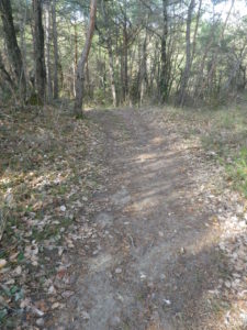
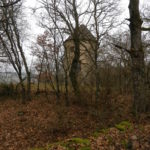
Section of Trail in Woods


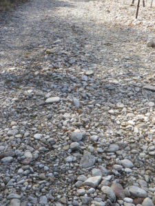
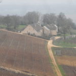
Section of Rough Trail Surface


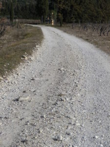
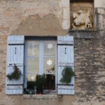
Section of Trail


Restrooms:

In the village, by the church.

Attractions on or near Trail:

The Vignerons de Valleon winery offers tours and tastings to the public, are open liberal hours, and are very helpful and knowledgeable about the wines, as well as about the area and the trail.

Tasting along the Trail:

Chateau d’Urdy

Cave Vignerons de Valleon

Alternative Options:

Car: The Route de la Drome Provencale passes through Taulignan, St Pantaleon-Les-Vignes and Rousset-Les-Vignes, showcasing vineyards, quiet villages and beautiful old structures.

Additional Information:

Regional: https://www.grignanvalreas-tourisme.com/votre-sejour/agenda/

Trail specific: While not much is available online (to help with advance planning), the following website has a map of the southern route http://balades26-07.blogspot.com/2017/01/st-pantaleon-les-vignes-nd-de-sante-par.html (a big “Merci!”); and a map of the northern route may be found online at https://www.valleon.fr/un-terroir-et-des-hommes/, and at the winery’s front office, and the townhall.

Comments:

Snow is rare in this area, but…

Heavy rain can occur, and will flood parts of this trail, especially the low ground at the base of the hill south of the hamlet of Barral, at the Torrent de la Fosse!
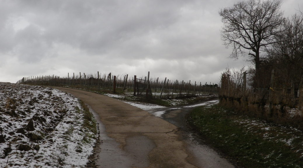
 

Cold Winter Wandering


From one end of Baden to the other, there is a world of difference in weather and wines. From a relatively warm day, to a bone-chilling wet-cold one, all in the same week. From the broad Rhine River valley, to the narrow Tauber River valley. Such can be the extremes of weather and geography in the Baden wine region.

Baden’s Tauberfranken wine district is far to the north and east of most of the rest of the Baden region. It lies less than 20 miles (30 kilometers) southwest of Wuerzburg, in Franconia (Franken, in German). The town of Lauda-Koenigshofen, an important center in this district, is where the trail began. (Officially, it begins in the associated village of Beckstein, but parking was not as easy there.) Lauda-Koenigshofen lies on the west bank of the Tauber River, but in large part seems fairly divorced from the river. Skirting west of the old walled town center (well worth a quick visit), the trail avoided the river altogether and headed uphill into the vineyards.

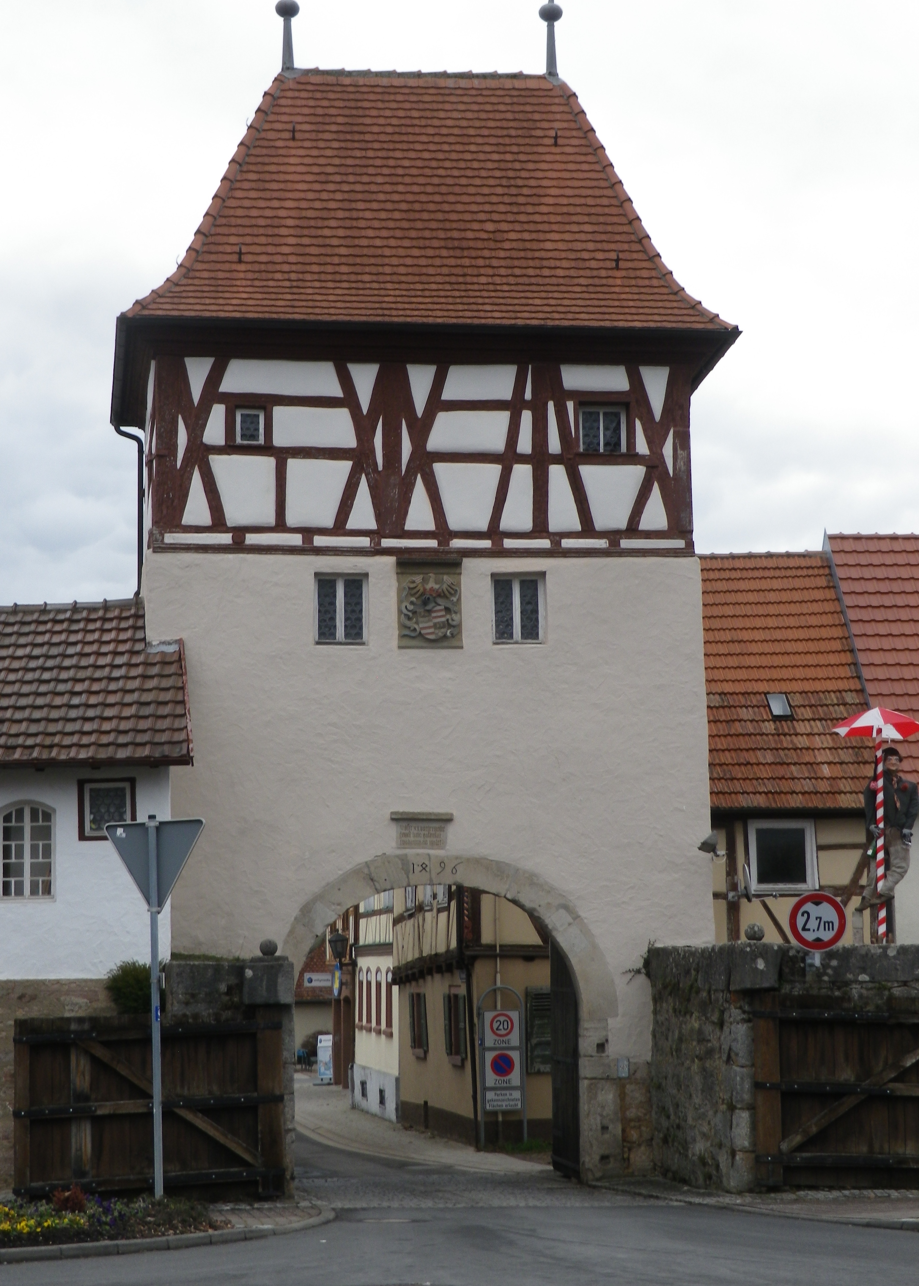
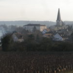
Gate in the Wall: Lauda-Koenigshofen

Continue reading Cold Winter Wandering

Tauberschwarzweg: Trail in a Nutshell


Trail Name:  Tauberschwarzweg

Trail Type: Mid-distance circuit trail; well-maintained and about half is paved, the other surfaces are grass and earthen; marking on the trail is somewhat good, but a map is strongly advised.

Length: circa13 kilometers/8 miles (See comments below)

Convenient to: Wertheim, or Wuerzburg, Germany

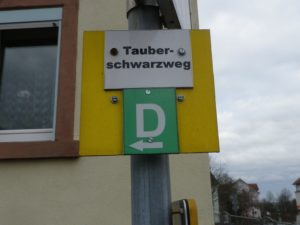
Marking: The capital letter “D”

Trail Signage: D for Tauberschwarzweg

Continue reading Tauberschwarzweg: Trail in a Nutshell

Winzerrundweg West: Trail in a Nutshell


Trail Name: Winzerrundweg West

Trail Type: Short distance circuit; well maintained and almost exclusively paved, marking on the trail good, but not foolproof

Length: 9 kilometers / 5.6 miles

Convenient to: Breisach or Freiburg im Breisgau, Baden-Wuerttemberg, Germany

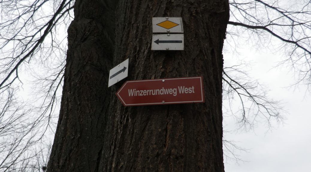
Marking: Red rectangular signs with the trail name in white letters (See the featured photo above)

Continue reading Winzerrundweg West: Trail in a Nutshell

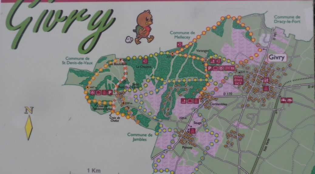
Discovering Givry


If, as King Henry IV famously stated, “Paris is worth a Mass”, then he also likely said: Givry is worth a glass. It was his favorite wine. As I hiked along the trail that meandered past its clos and vineyards, and strolled along its streets, I had reason to see why.

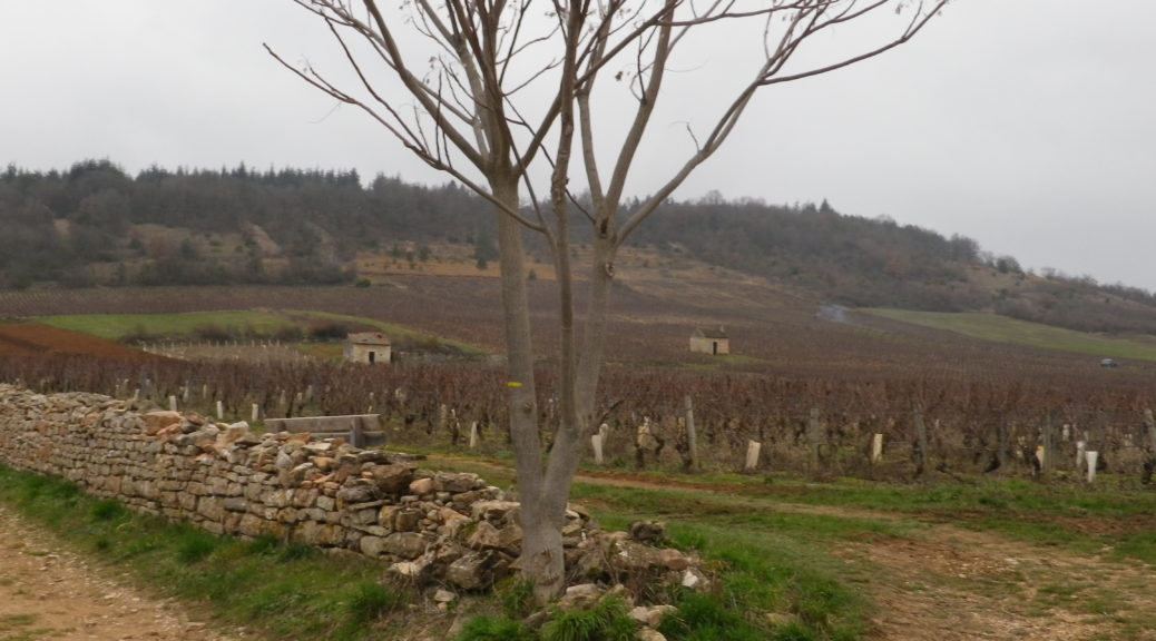
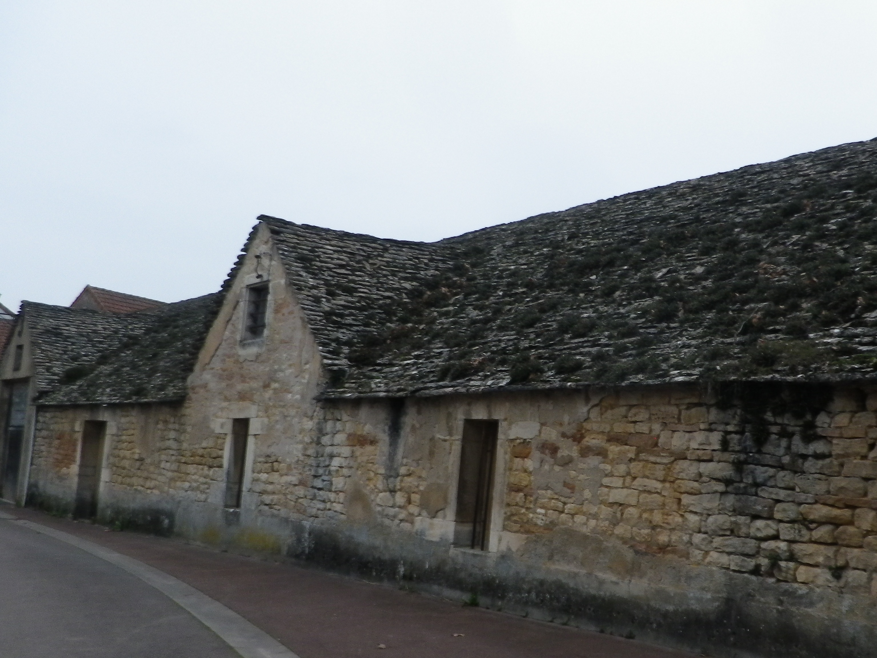
The stroll through town showcases some of its beautiful old buildings. Erected during different eras, they are all made of the amazing limestone that is so typical of many Burgundian buildings. Once out of town and in the vineyards, clos walls are made of the same material, albeit in January covered by moss and lichen in a colorful winter coat.

Givry: Old Building

Continue reading Discovering Givry

Cote Chalonnaise: Trail in a Nutshell


Trail Name: Decouverte Nature de la Cote Chalonnaise (to give it the full name)

Trail Type: mid-distance circuit trail; fairly well-maintained and very diverse trail surfaces, marking on the trail overall fairly good in some places, but missing in others

Length:

Total – 10 kilometers/6.2 miles

Convenient to: Chalon-sur-Saone, France

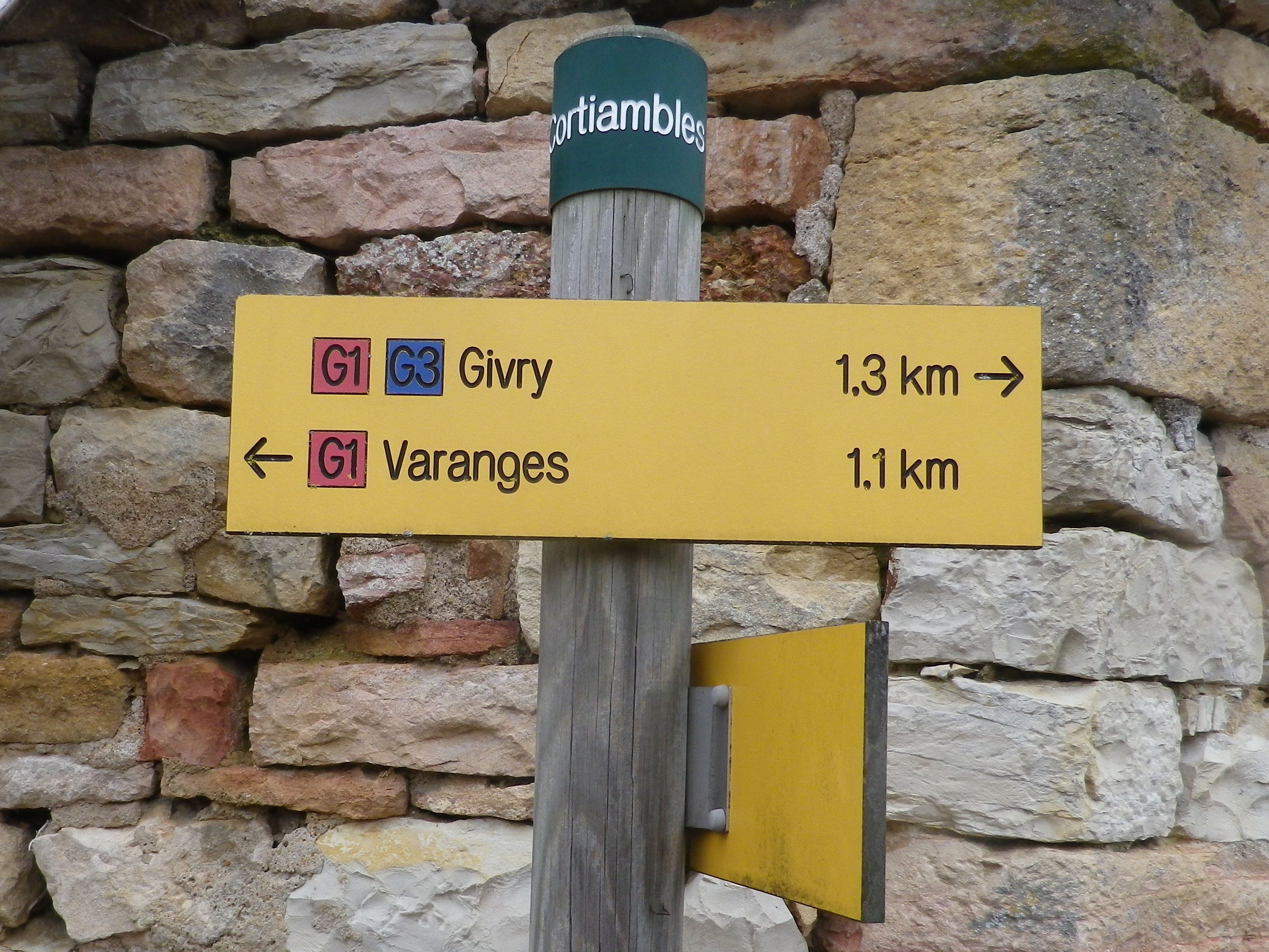
Marking: Varies, (G2, G3, and in one section red and white bars) but key spots are identified by location posts, and any or all of the above markings.

Cortiambles: Trail Sign on Location Post

Continue reading Cote Chalonnaise: Trail in a Nutshell

Wine Fields Wandering


Weinfelden means wine fields in German, and in Switzerland, the Canton of Thurgau, there is a small town with this name. Not surprisingly, vineyards surround it, and the town’s hiking wine itinerary passes through them.

A promising start to any wine trail itinerary, surely. Additionally, this particular trail promised a wine education path, and diverse opportunities to sample wine along the way. So, making my way to the trailhead in the center of Weinfelden, set on the banks of the Thur River, I was intent on hiking the trail as well as learning about and tasting the local wines.

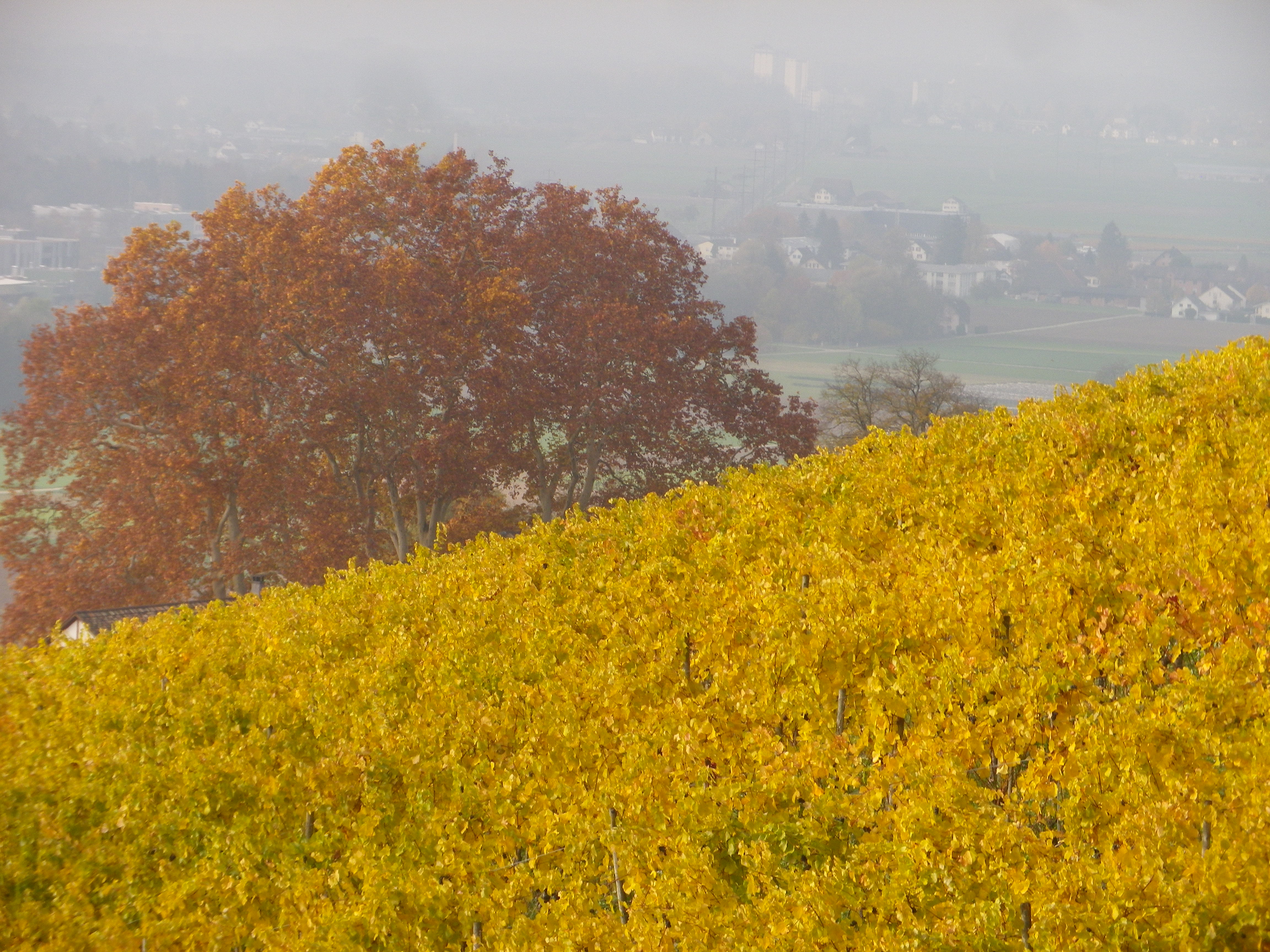
Weinfelden Wine Fields

Continue reading Wine Fields Wandering

Wine Notes: Thurgau


What I Learned

The canton of Thurgau, in north central Switzerland, is a wine producing canton. For wine purposes, this canton has several different districts: The Upper Thur Valley, the Lower Thur Valley, Rhine, Lauchetal, Seebachtal, and Untersee. Its northern most section, the Untersee faces onto Lake Constance and the High Rhine. Much of the rest of the canton wine production lies in the valley of the Thur River, a tributary to the Rhine, from which the canton gets its name.

Continue reading Wine Notes: Thurgau

Weinfelden Weinweg: Trail in a Nutshell


Trail Name:  Weinfelden Weinweg

Trail Type: A short distance circuit; well-maintained and almost exclusively paved, good marking on the trail

Length:

Total – 9 kilometers/6 miles

Convenient to: St Gallen, Switzerland; Konstanz, Germany

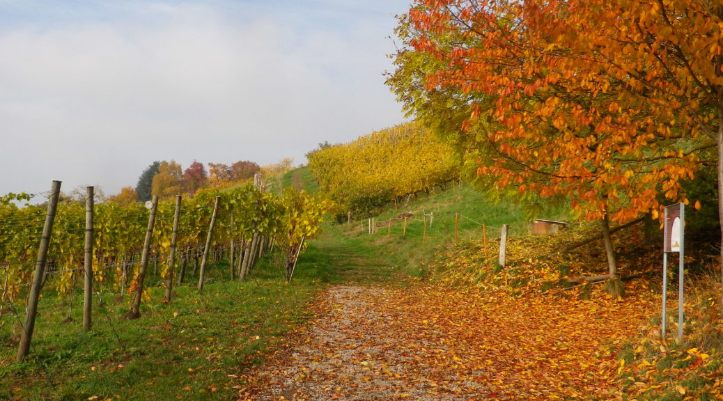
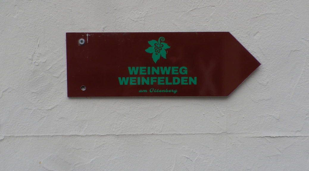
Marking: Burgundy colored metal arrow, with green grape leaf and trail name letters. See featured photo above.

Continue reading Weinfelden Weinweg: Trail in a Nutshell