Tag Archives: hiking

Wine Notes: Kremstal


What I Learned:

Kremstal (Krems Valley), in Krems, Austria,  along with its associated village of Stein, and a narrow band of area on the opposite side of the Danube, form a wine district known as Kremstal. This district lies on both sides of the Danube River and its tributary, the Krems River. Vineyards lie above the communities on high slopes overlooking the communities and the rivers. Loess and sedementary soils predominate in this region.

Noted Ried (named vineyards) in Stein are: (from up to down river) Steiner Pfaffenberg and Hund; with other esteemed vineyards being: Pitschental, Altenburg, Grillenparz, Danzern, and Schreck.

Wine-making in the Krems region dates back about 2000 years. As Christianity moved east, monastic organizations revitalized the tradition. The oldest vintner association in Europe, the Hauerinnung Krems-Stein, has been here since 1442. In 1938 it founded Winzer Krems, a name that endures today. Its cooperative winery, Sandgrube 13, is located at the same address in Krems, and worth a visit.

Like the neighboring Wachau wine region, the Gruener Veltliner is the single-most cultivated grape, accounting for half the annual production. While grown elsewhere, this grape, and the white wine it produces, is Austria’s claim to fame in the wine world. Riesling is the second most cultivated grape. White varietals predominate here, and other white varieties include, Rivaner known elsewhere as Mueller-Thurgau), Muskatteller, Neuburger, and Pinot Blanc and Gris. Grown to a lesser extent, the red varietals include Sankt Laurent and Zweigelt.


What I tasted:

2016 Rivaner, Winzerbraut, Qualitaetswein, Halbtrocken, Winzer Krems (Niederoesterreich): An off-dry white wine with medium minus gold color; a nose of green apple and ripe white peach, toasted nuts, peach and slight spice flavors; medium acidity, nicely balanced overall.

2015 Sauvignon Blanc, Kellermeister Privat, Niederoesterreich, Qualitaetswein, Trocken, Winzer Krems: A dry white wine with medium minus gold color; light boxwood, gooseberry nose, with boxwood and citrus flavors, with a hint of spice; medium plus acidity.

2015 Gruener Veltliner, Frauengrund, Kremstal DAC, Josef Dockner: A dry white wine with light gold color; a floral and spicy nose, both sweet and sharp; floral, honey, tangy spice, vanilla and grilled peach flavors; mild acidity.

2014 Riesling, Ried Grillenparz, Erste Lage, Kremstal DAC Reserve, Weingut Stadt Krems: A dry white wine with light gold color; a sweet grape nose, and tropical fruits, turpentine, and spicy, mustard-like flavors, with a hint of minerality; medium acidity with a smooth finish.

2013 Gruener Veltliner Steinberg, DAC, Weingut Hutter: A dry white wine with a dark gold color; floral and fruity notes with a hint of grapefruit, very mild acidity.

2013 Riesling, Stein Terrassen, Weingut Hutter: A dry white wine with light gold color; floral notes with a slight hint of grapefruit; medium acidity.
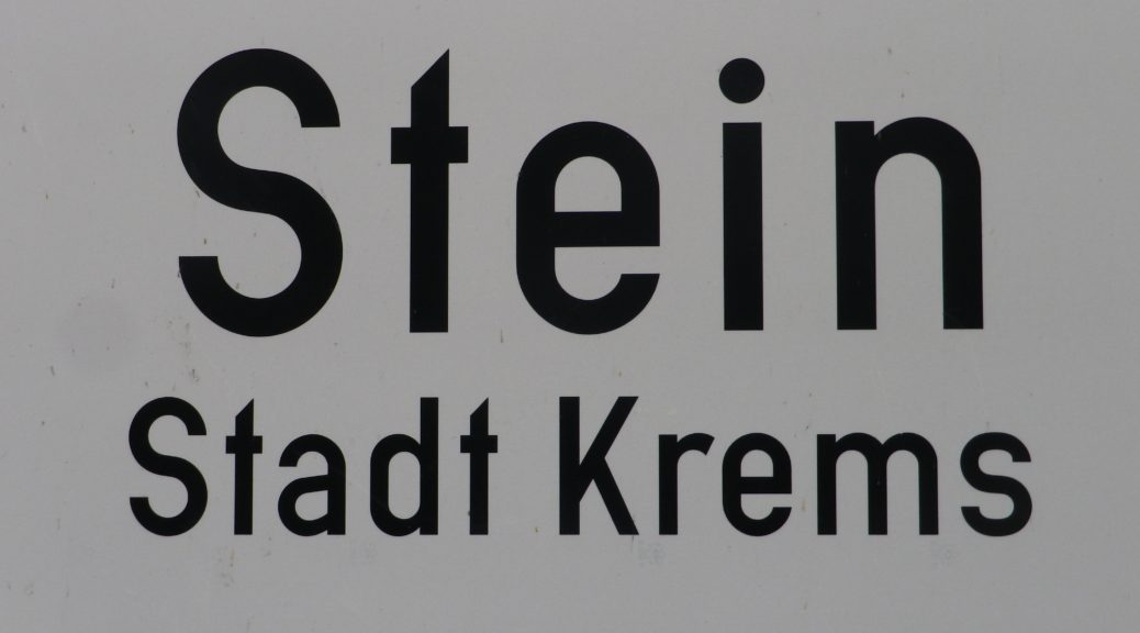
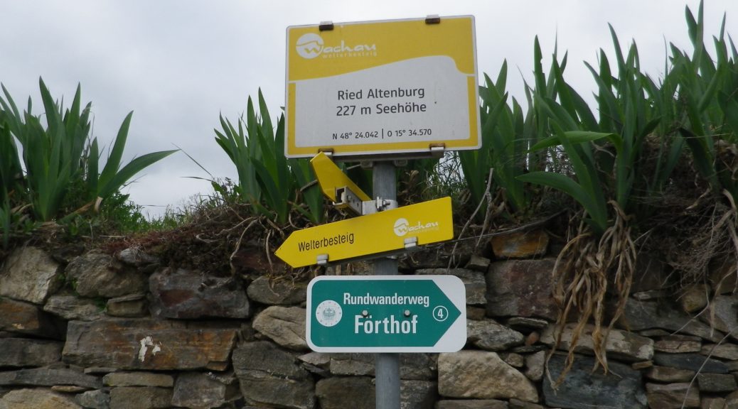


Wein Wandern Stein: Trail in a Nutshell


Trail Name: Wein Wandern Stein (Unofficial name)

Trail Type: Short distance hiking circuit; almost exclusively paved, well maintained, but the route itself is not exclusively marked.

Length: Approximately 6 kilometers/3.7 miles

Convenient to: Krems an der Donau, Austria

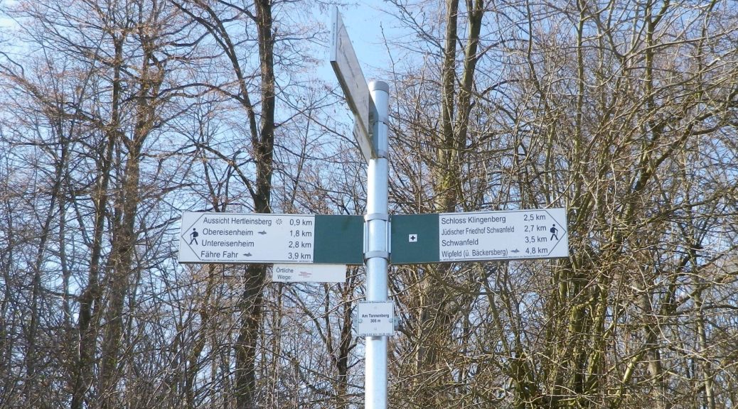
Marking: No trail-specific marking, although throughout this itinerary there are markings for other trails (to include the Welterbesteig signs, as shown below), and signposts (see the photo below) indicating named places and the “Welterbesteig Wachau” trail.

Trail Description:

An easy circuit through the village of Stein (part of Krems), and through the vineyards above the village, returning along the Danube. It focuses both on the village’s long-established viticultural traditions, and the vineyards that made it all possible.

Trailhead:

Stein an der Donau: Steinerkellergasse x Doktor-Karl-Dorrek-Strasse

Parking:

Krems/Stein:

Along Steiner Donaulaende, there are many parking spots, but on weekdays and summers, all likely will be taken; On Steiner Donaulaende, by Gottweigerhofgasse, a small parking lot.

Parking Garages on Yachthafenstr and Steiner Landstr x Anibas Promenade

Stein/Foerthof: Along Route 3/Donau Bundestrasse, there are two or three small, unimproved parking areas along the Danube.

Public Transportation Options:

Bus: Post bus serves Stein an der Donau. Check www.postbus.at

Rail:

OBB services Krems, connecting with nearby towns, and Vienna

Wachaubahn provides seasonal service upriver from Krems to Grimsing, to include Stein, Loiben (Unter and Ober-), Duernstein, Weissenkirchen in der Donau, Spitz an der Donau and Willendorf

Suggested Stages: Not applicable

Trail Itinerary-Reference Points: (Counterclockwise)

Stein: Doktor-Karl-Dorrek-Str x Steinerkellergasse, Steinspreng (at signs for Tullner and Mariazellerweg Trails), Guetersweg Schreckberg, circle counterclockwise on the Schreckberg lanes, return to Steinspreng; Right on Steiner Kellergasse, over train tracks by tunnel; Reisperbachtalstr, stairs (with W), on an path to an unnamed, paved agricultural lane, first passing the ruins of Altenburg castle, then the Altenburg Weinbergkreuz (a crucifix of vine stocks), Pfaffenbergweg-Foerthofstr-Steiner Donaulaende-Steinerlandstr-Reisperbachtalstr-Hintere Fahrstr-Frauenberg, stairs (at the St Nikolaus church) down to Steiner Landstr

Representative Trail Photos:

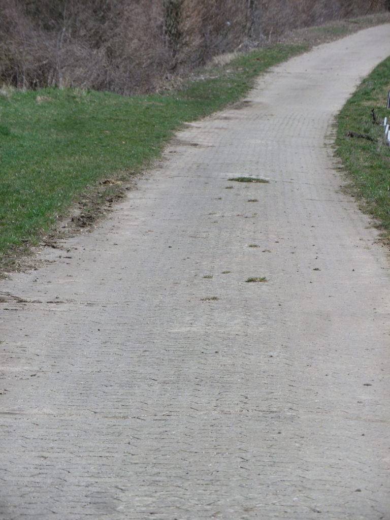
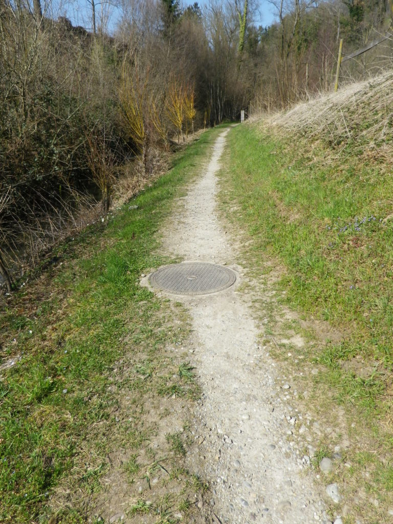
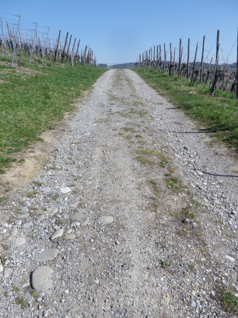
Trail Surface in Vineyards


Restrooms:

None observed

Attractions on or near Trail:

Lining the Steiner Kellergasse are many nicely maintained wine cellars, some of which are still in use as such!

Tasting along the Trail:

There are several “Heuriger” (seasonal wine taverns), along the trail, and numerous taverns, bars and restaurants in town.

Alternative Options:

Walking: The Welterbesteig Wachau trail begins in Krems proper, and continues upriver to Melk (the famous abbey) on the high route along the Danube and sometimes inland through the vineyards and villages along the way. From Melk, it continues downriver back to Krems for a total of 180 kilometers. See the Nutshell here.

Additional Information:

Regional: https://www.krems.info/de/home/

Trail specific: None

Comments:

I adapted this circuit from one suggested by a local hiker, hence no definitive markings, or references to it online or in town literature. Therefore, there is no trail specific signage, although this itinerary does follow a section of the Welterbesteig Wachau trail leading from Resiperbachtal Strasse to Pfaffenbergweg, and then the two itineraries diverge at Foerthof

To extend the hike slightly, follow the Welterbesteig Wachau upriver along the Pfaffenbergweg, to the border between the Kremstal and Wachau appellations. To close the circuit, head downhill to the hamlet of Rothenhof and follow along footpath along the river paralleling the main road (B3) back to Foerthofstrasse. Continue the itinerary above from Fuerthof.


Savoring Savigny


Like any fine Burgundian wine, Savigny should be savored. Not just the wine either: the sights and sounds of its sites merit time and attention as well.

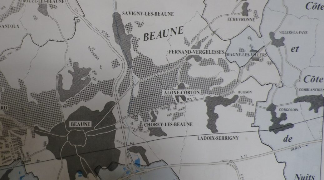
Savigny-les-Beaune, as its full name indicates, is located near Beaune, the main hub of the Cote de Beaune wine district. Like Beaune, this small town has its own appellation, covering both red (Pinot Noir) and white (Chardonnay) wines. It is in a beautiful setting. The village essentially follows along a narrow river valley, backed by high hills, and surrounded by forests and vineyards. While most visitors search for the wine, I wanted to explore the town’s vineyards and forests, as well as savor the quaint corners of the historical center.

Quiet Lane: Savigny-les-Beaune


The first sensation to hit me, aside from the bucolic scenery, was the soft scent of pine. After passing through the outskirts of town, the trail passes through a wooded area made up of many pine trees. It was an aromatic climb uphill, as I breathed deeply of the forest scents. Pines do well in poorer soils, as do vines, which appeared as soon as I crested the hill.

Pines to Vines


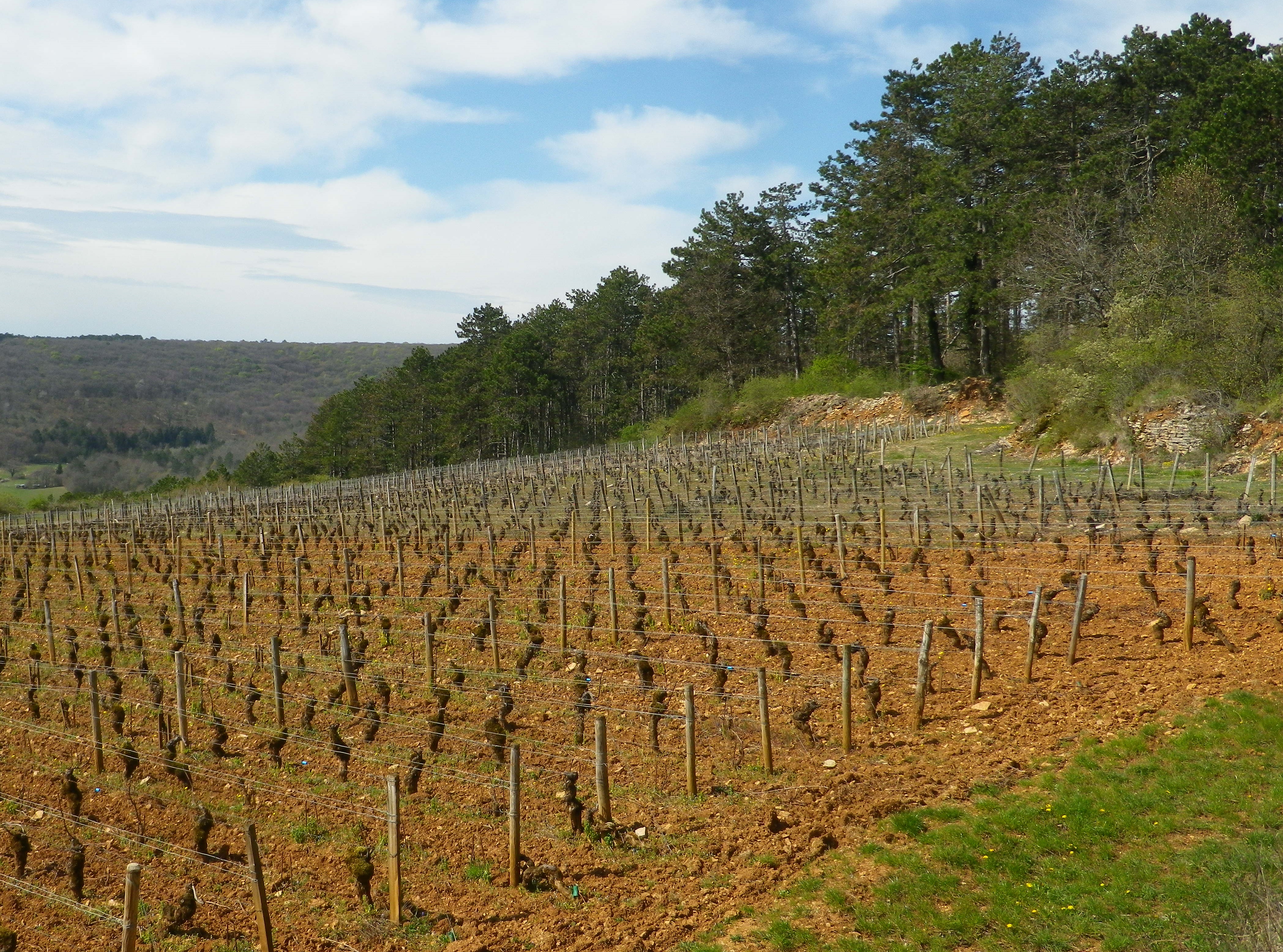
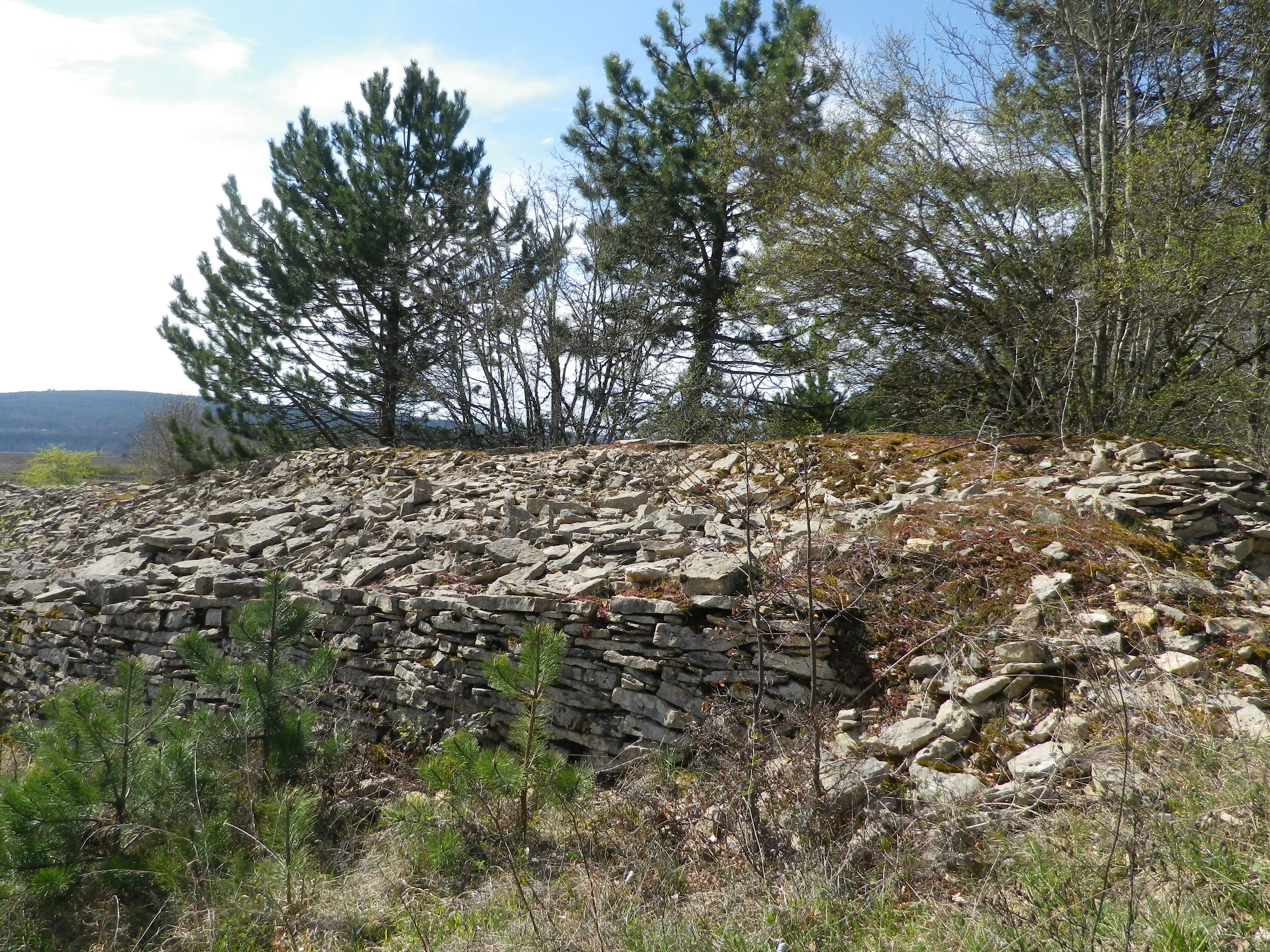
Chunks of limestone dotted the reddish soil surrounding the vines. Limestone is a prominent feature in the soil here. So much so that the rocks pulled from the soil are often piled together. Called “murgers,” these piles represent the backbreaking work of the vintners. Along much of this section of the trail, murgers would appear, the new serving as breaks between vines, and the old slyly hiding under a thick growth of vegetation in thickets and copses.

A Murger


Following the passage through vineyards, a long descent through woodland ensued. The trail was rougher, but evidently well used. The shady interlude was greatly appreciated. It terminated in a “combe” a narrow valley not defined by a river. There are many combes in Burgundy, and they are well marked on maps.

Through the Woods


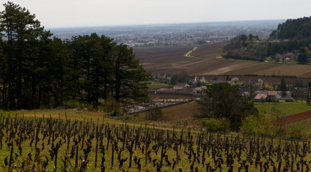
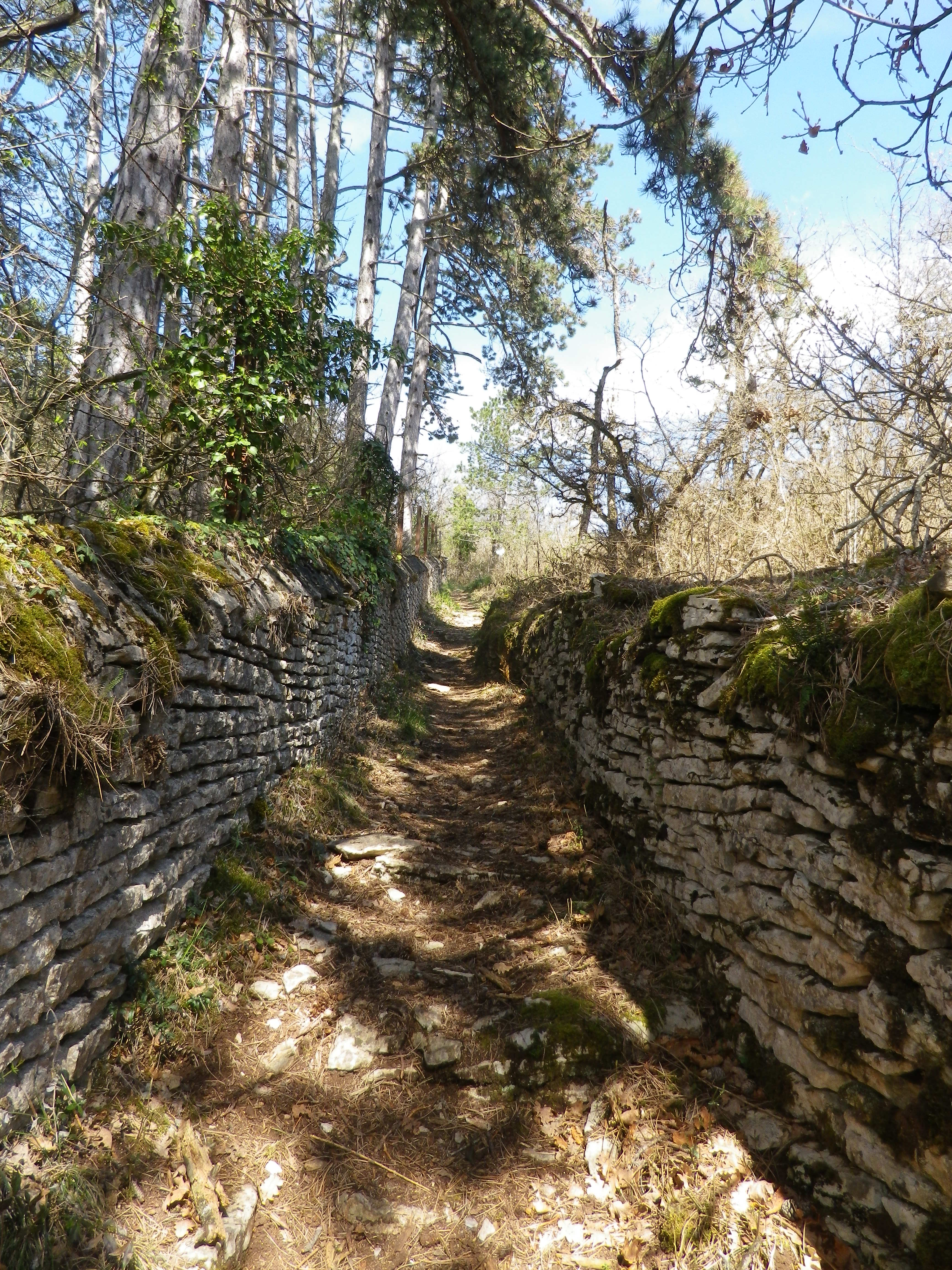
Upon leaving the combe, the trail headed uphill through more vineyards. In fact, from the top of the climb, the amazing sight of acres and acres of vineyards spread out below me, south and east, all the way to Beaune. (See the feature photo at the top.) The Cotes de Beaune is no less impressive than the Cotes de Nuits when it comes to the sheer numbers of vines planted on the famous slopes of the Cote d’Or. The trail headed downhill. It twisted and turned as it threaded its way through the woods, carefully inscribed between moss-covered limestone walls. Treasures as yet unseen lay behind these walls.

Between Old Clos Walls


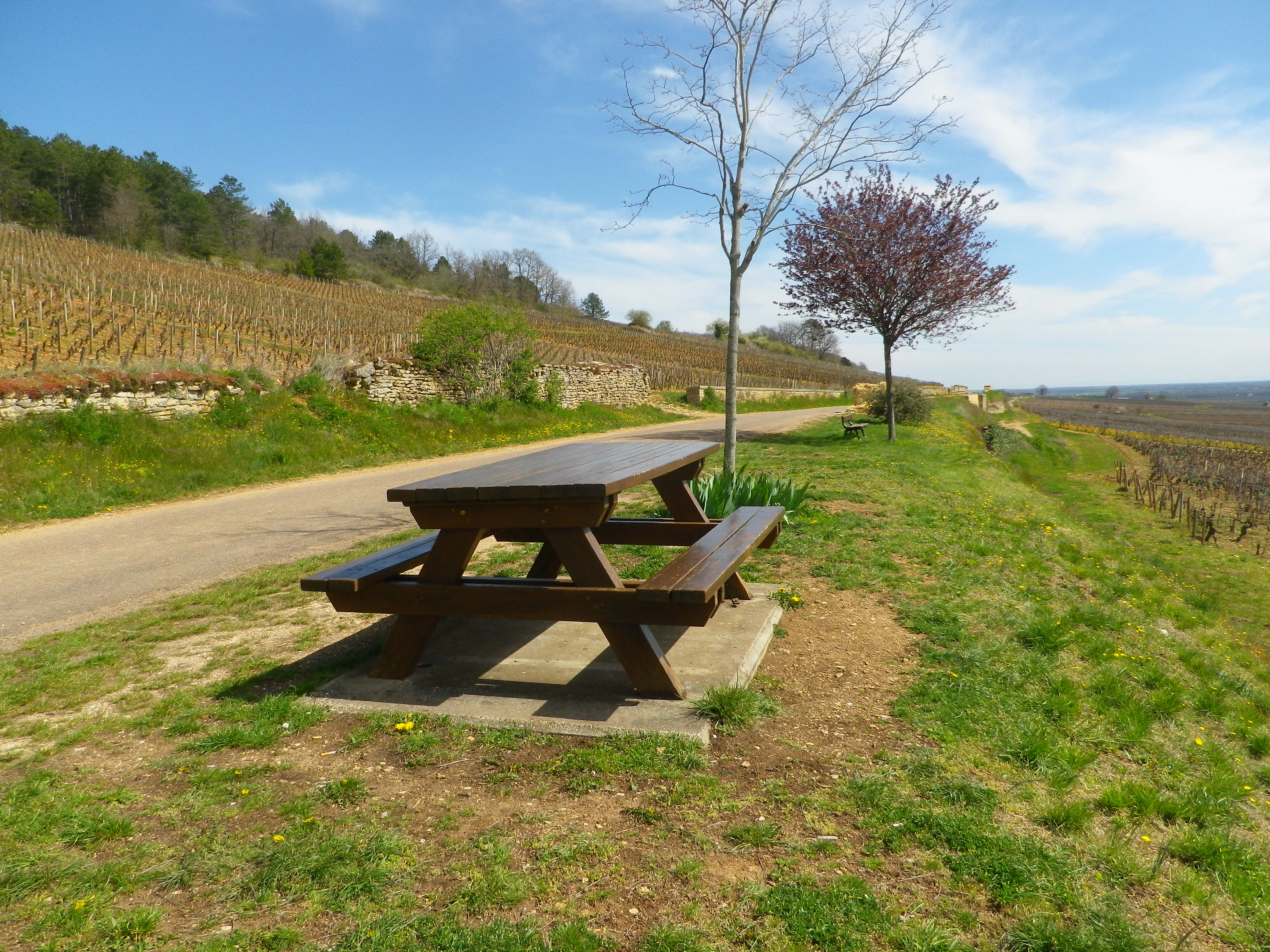
What lies behind the walls is evident only upon reaching the wide agricultural road at mid-slope. I turned around to discover that on this partially wooded slope lies the vast majority of the town’s Premier Cru: Aux Serpentieres, Petits Godeaux, Aux Gravains. Further down the slope, I could see many lieux-dit, named parcels, like the Aux Grands Liards parcel. The grapes here made up the village appellation wines. Someone thoughtfully stationed a picnic table overlooking the town’s glorious vineyards. But I pressed on…

Picnic in Savigny-les-Beaune Vineyards


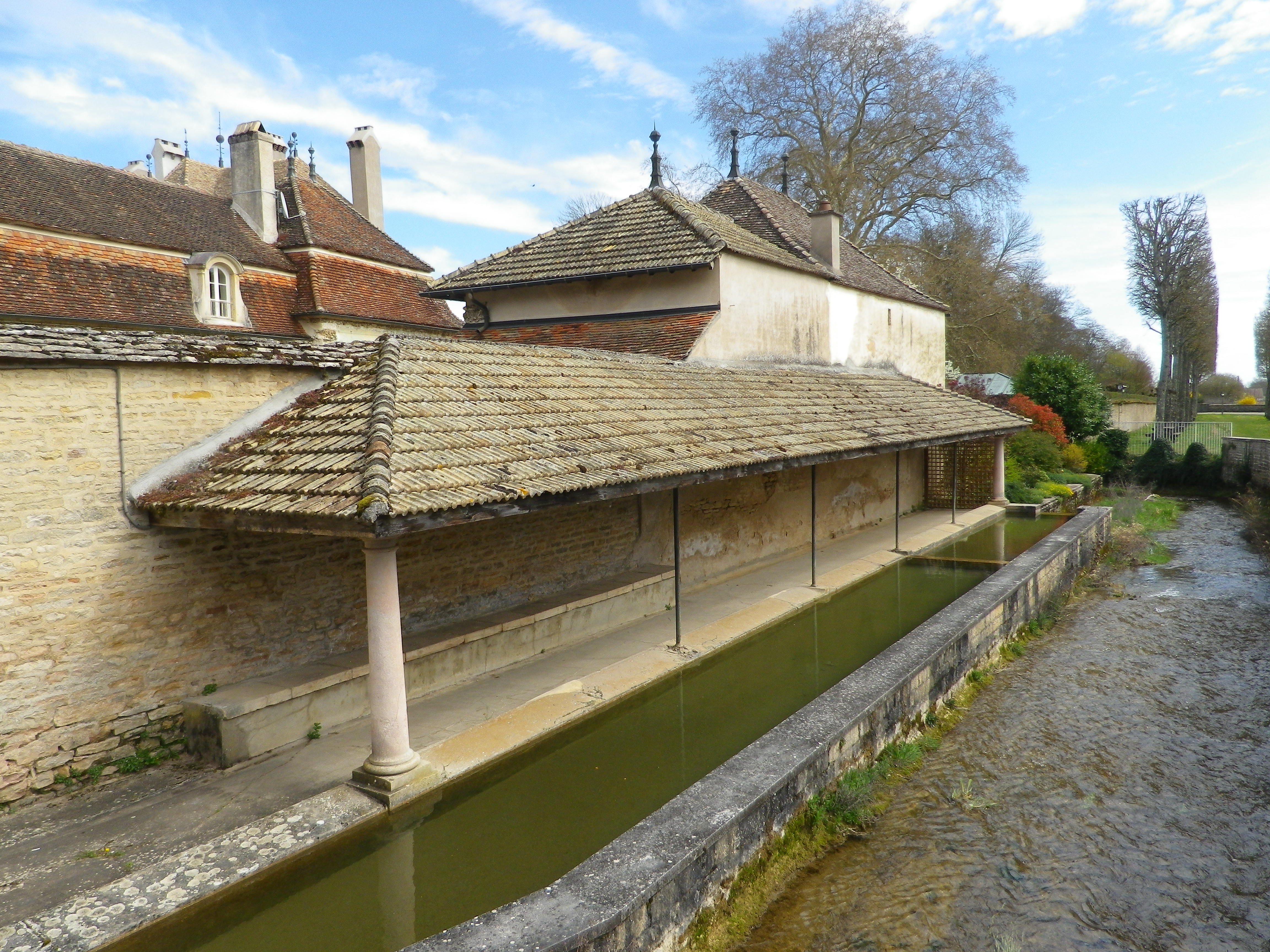
Soon after that, I came back into town. Homes and caves all constructed in limestone line the narrow lanes, ghostly white and just as quiet in the afternoon sun. The sound of a small river announced the Rhoin. An old washhouse, lined the northern bank. Every town in Burgundy seems to have one, and this one is was located just outside the castle gates.

Washhouse Along the Rhoin


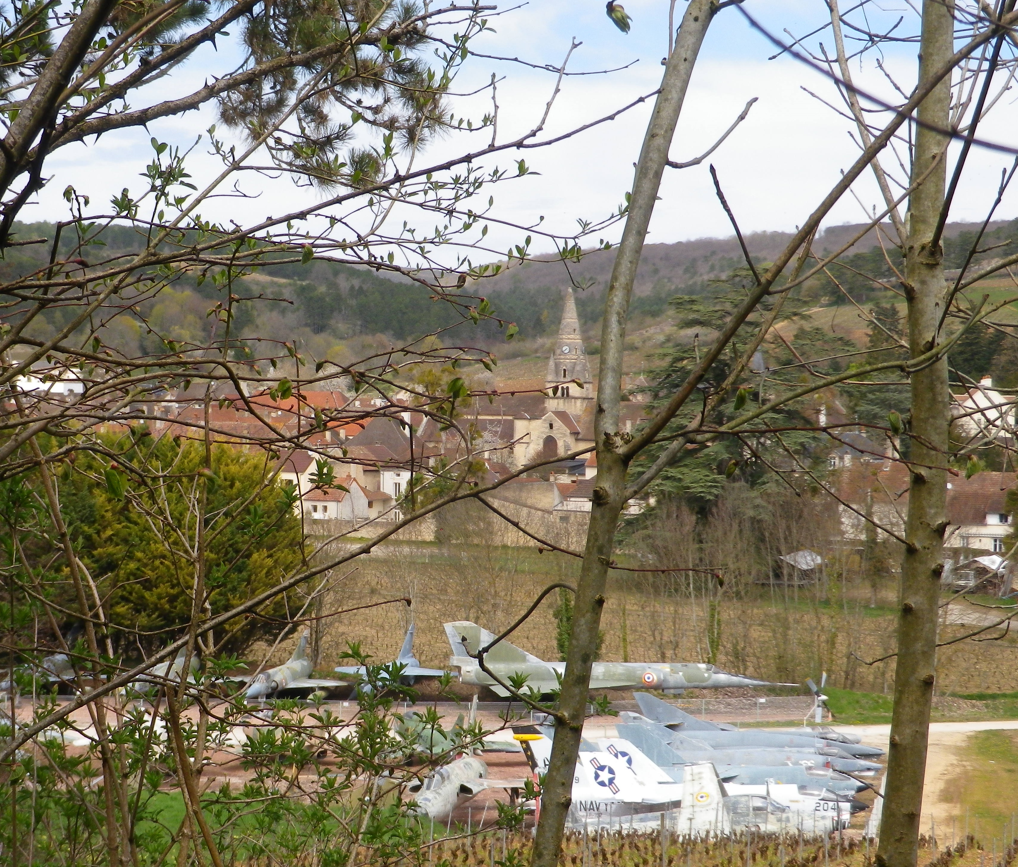
The Chateau de Savigny is many things. A winery, an historical site, a museum site with eclectic collections, including, but not limited to, displays on wine-making, motorcycles, old cars, and old fighter jets. Some of the last are visible from the trail, as it circles around the south side of town, back to the official start. Not something ordinarily seen on a vineyard trail! This final leg comes with another ascent, more vineyards, a delightful section of forest, and descent followed by a short meander along the Rhoin, providing a musical interlude.

A First: Jets Along the Trail


Many people use Beaune as a staging point for visits to the nearby wine villages. But however good her wineries may be, Savigny, like so many other villages of the Cote de Beaune, must be savored with more than just a cursory tour of its wineries.

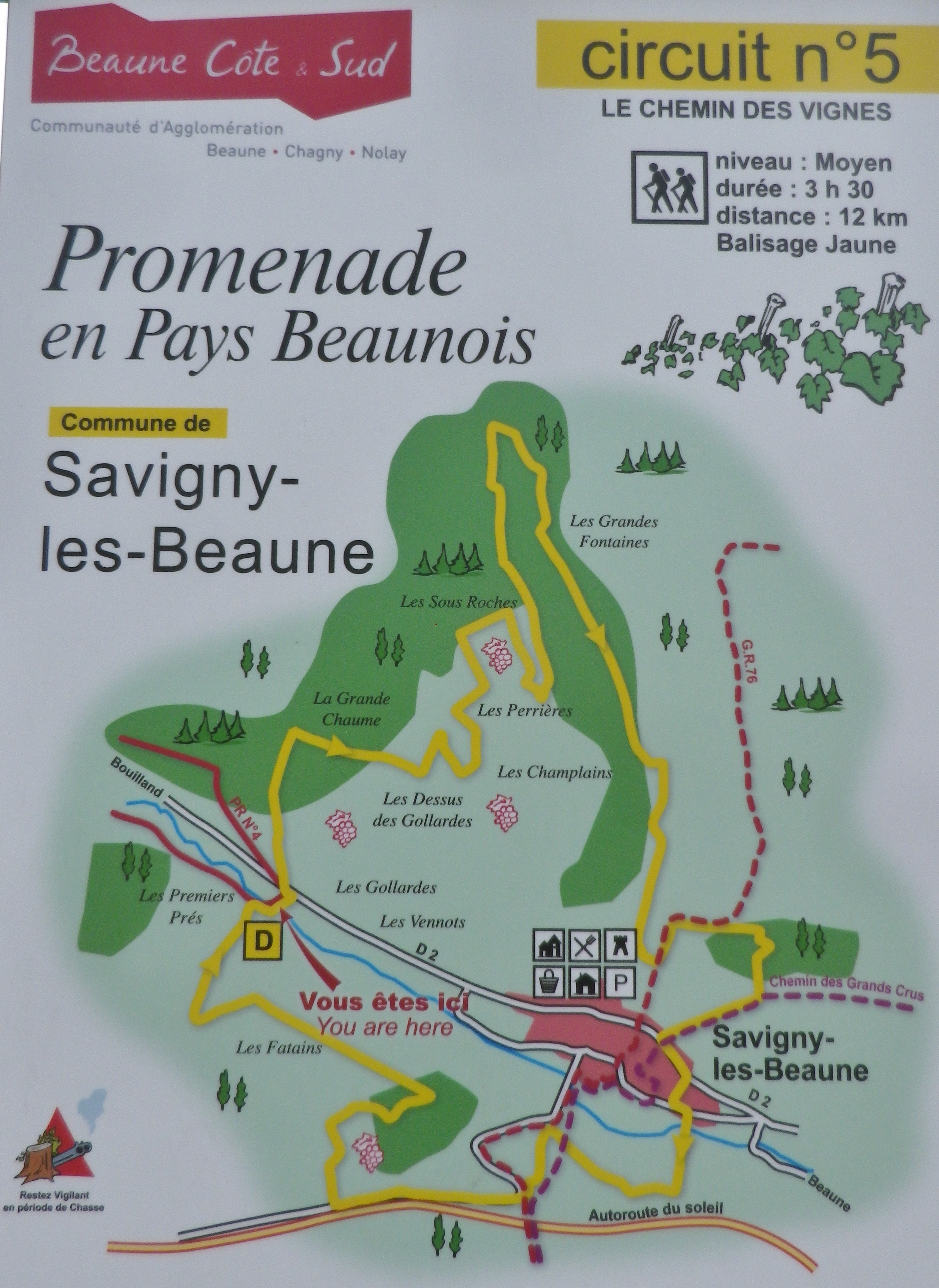
Trail Map: Savigny-les-Beaune


Chemin des Vignes: Trail in a Nutshell


Trail Name:  Chemin des Vignes (AKA : Circuit 5)

Trail Type: Mid-distance circuit; well-maintained and with a variety of surfaces from rough and scree to tarmac. While trail-specific signage can vary (see below), overall marking on the trail is rather good.

Length:

Total – 11.5 kilometers/7 miles

Convenient to: Beaune, France

Marking:

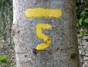
Painted yellow bar(s) indicating trail and/or direction, and sometimes a yellow number 5; the occasional yellow sign with a black number 5 on it; yellow signs on posts with black letters indicating PR 5.

A Trail Marking


Trail Description: This trail has a great variety of terrain, elevation, scenery, and flora, all along a relatively easy circuit trail that circles the small town of Savigny-les Beaune and its well-known vineyards.

Trailhead:

Official: Savigny-les-Beaune, Rue des Chanterives

Alternate: Rue General Leclerc x Rue Soeur Gaby

Parking:

Savigny-les-Beaune: Rue des Chanterives x Route de Bouilland/D2(opposite camping site)

Savigny-les-Beaune: Limited parking along the street of Rue General Leclerc

Public Transportation Options:

Bus: The Cote&Bus company runs Line 10 round-trip from Beaune to Savigny-les-Beaune. It appears to service a school route, as well as commuters into Beaune, so be sure to check the website (www.coteetbus.fr) for changes or required reservations.

Rail: Nearest rail service is in nearby Beaune

Suggested Stages: Not applicable

Trail Itinerary-Reference Points: (North-South/Clockwise)

Savigny-les-Beaune: Chemin des Vermots, also seen on some maps as Chemin de la Grande Chaume, right onto a straight trail through woods all uphill, vineyards, then a long stretch through forest; Cross Chemin de Citeaux, along the Combe de Barboron (a vale), follow R du Jarron about 150 meters uphill,  turn right through vines, then forest; downhill between walls to picnic table, downhill on the agricultural road/C7; Savigny-les-Beaune: southeast on R Dr. Guyot/D2, R des Porches, R Soeur Gaby, cross the  creek and continue straight onto a grass path), past sports fields (fighter jet collection on the right), R des Combattants, R Chanoine Donin-Chemin des Carrieres, parallel the highway for about 400 meters; through forest; downhill on R des Fatains, R des Petites Chanterives

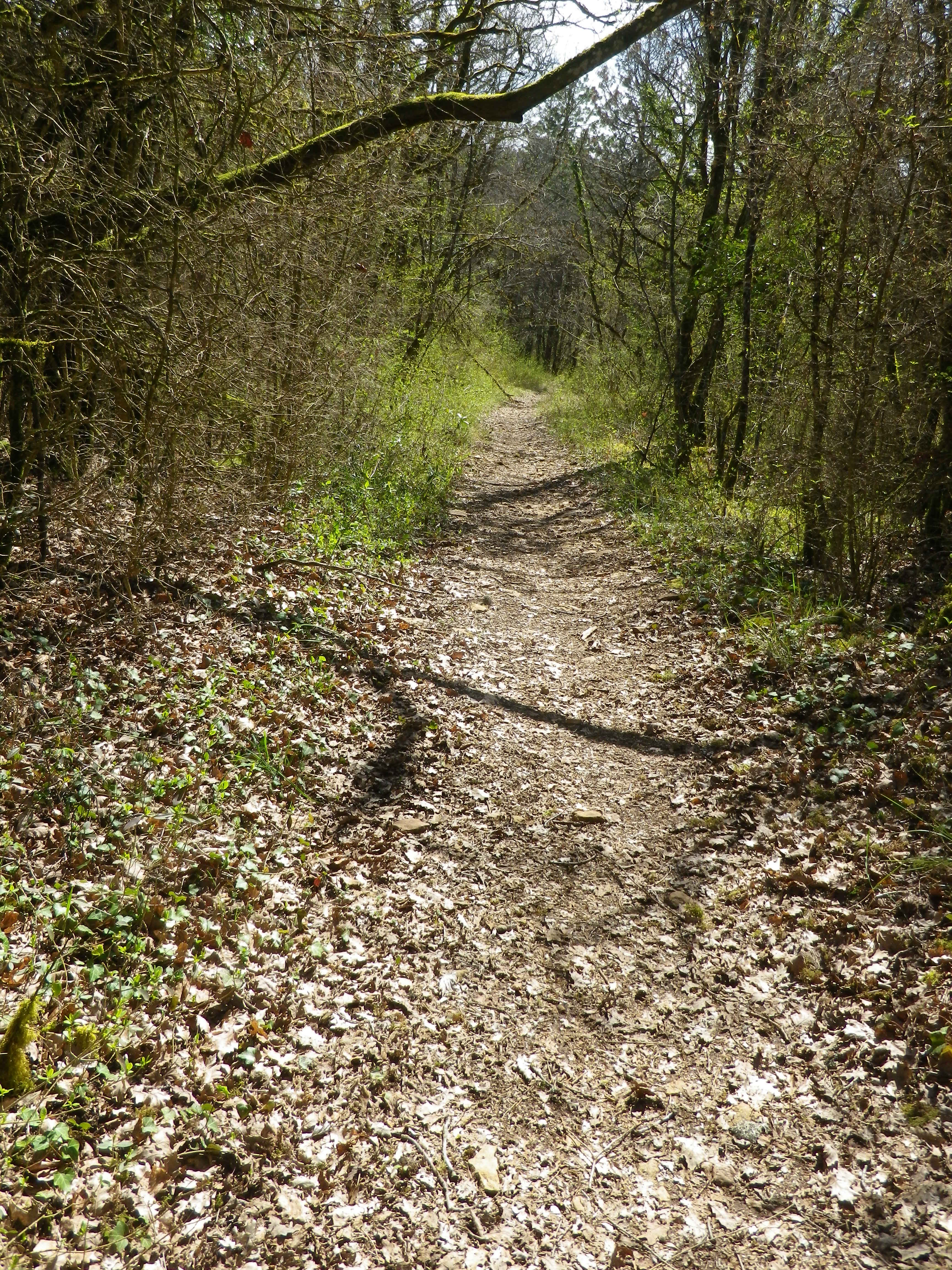
Representative Trail Photos:

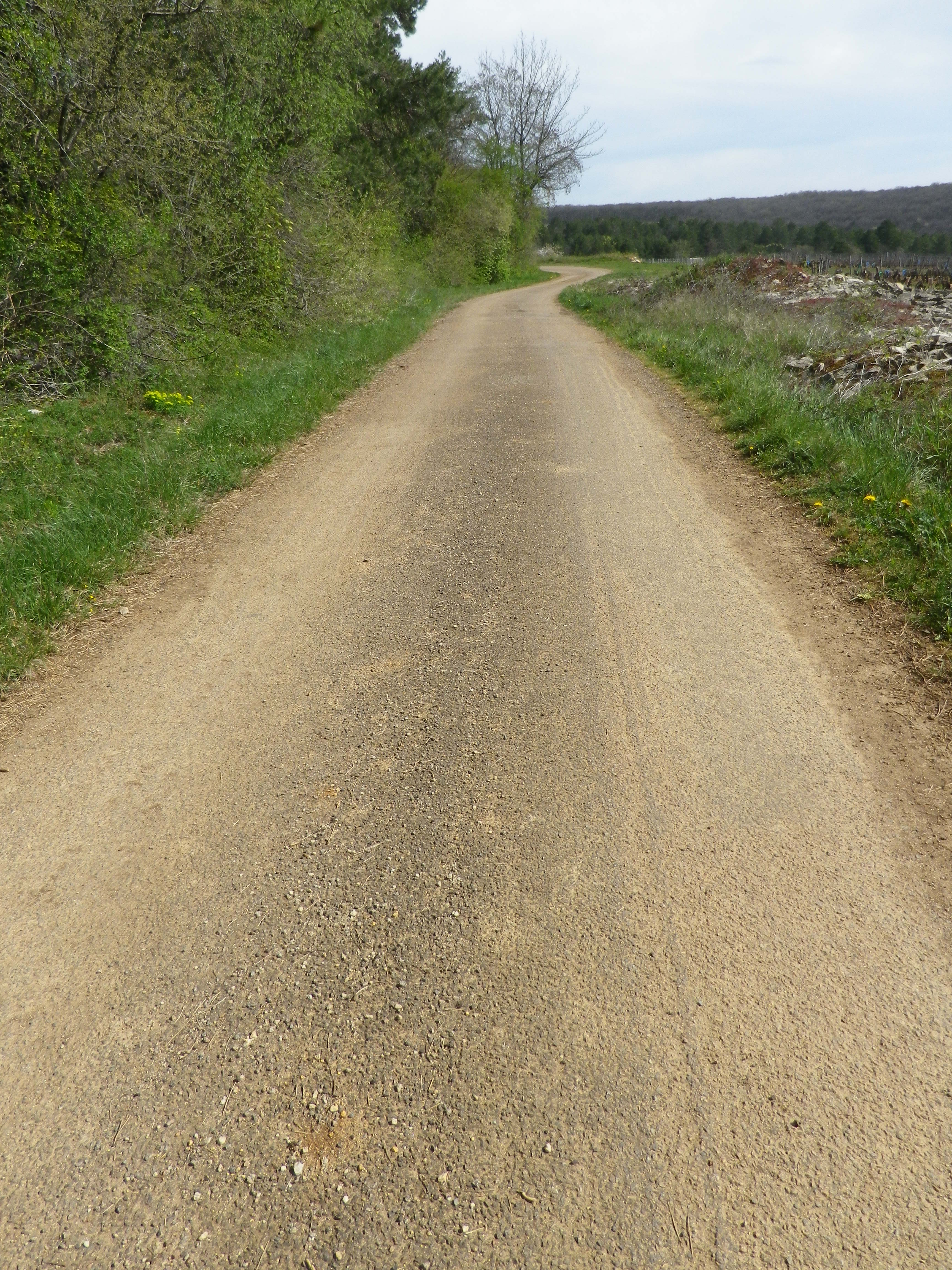
Trail Surface Through Vineyards


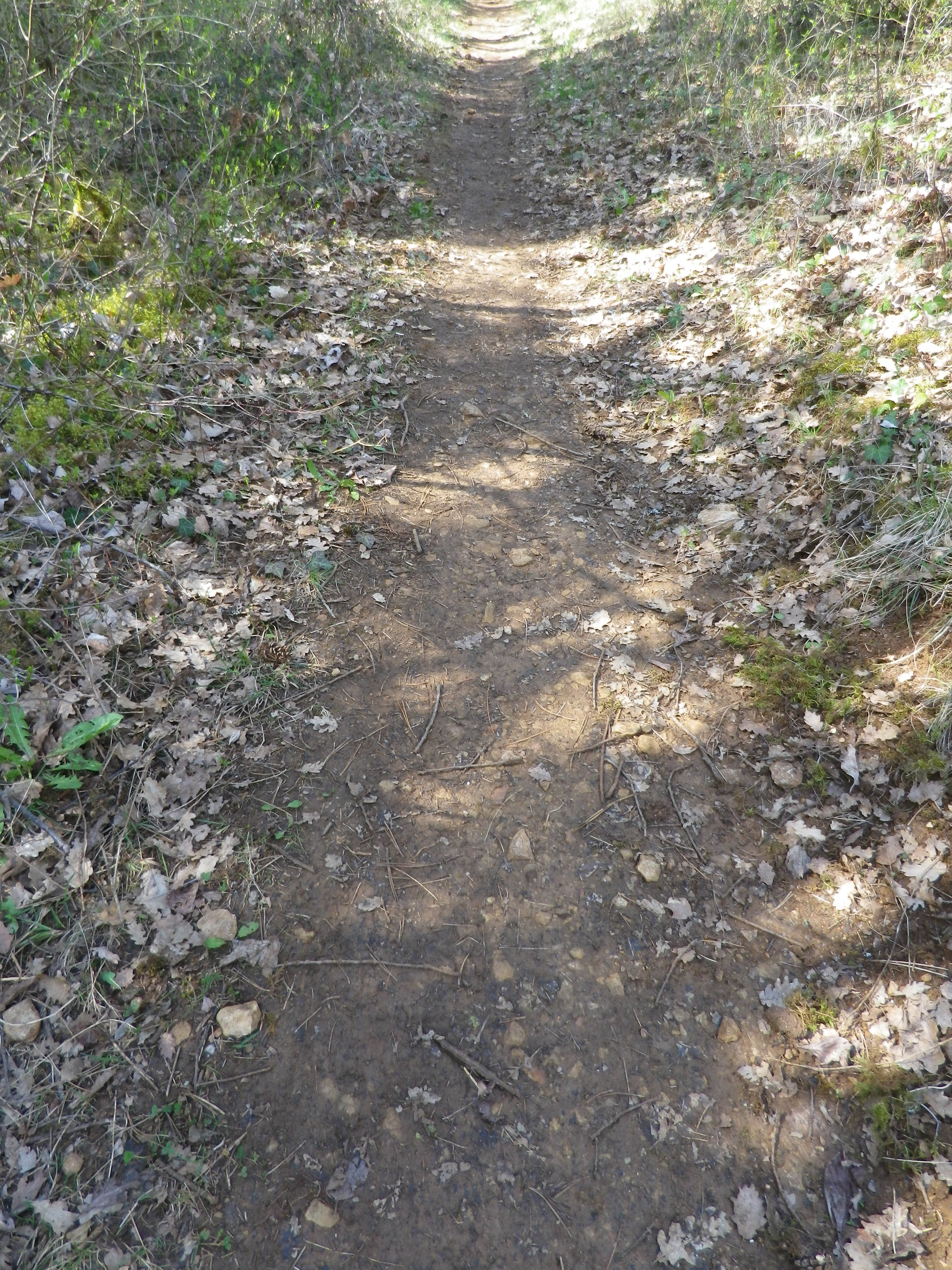
Section of Woodland Trail Surface


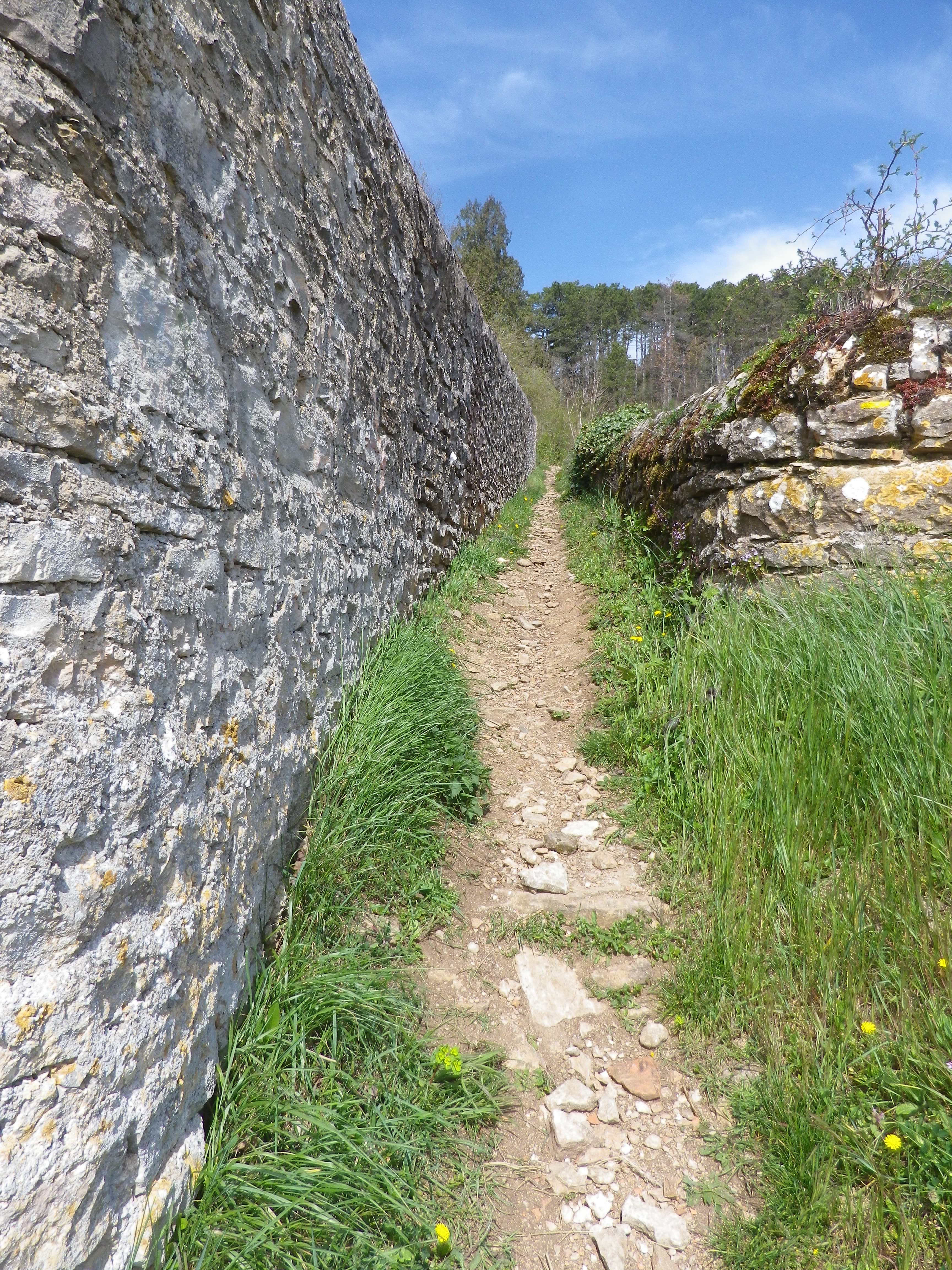
Sample Rough Trail Section


Restrooms:

None observed!

Attractions on or near Trail:

Chateau de Savigny has a museum with collections pertaining to wine and agricultural vehicles, as well as Abarth racing vehicles and fighter jets.

Tasting along the Trail:

Several wineries in town, and at the chateau.

Alternative Options:

Hiking: Beaune has several hikes around its vineyards, just south of Savigny. For an idea of one of them, see the Nutshell here. See others at http://www.beaune-rando-vigne.com/fr/circuits-vignoble-beaune/

Biking: Veloroute Voie des Vignes, an approximately 30-kilometer-long trail from Beaune to Santenay to Nolay, mostly on dedicated bike path!

Additional Information:

Regional: https://www.beaune-tourism.com/

Trail specific: https://www.beaune-tourism.com/ideas-for-round-trips/circuit-5-the-chemin-des-vignes-vine-route-615157

Comments:

A great hike for even people only moderately in shape, in an unspoiled Cote de Beaune wine village.


Spring is for Silvaner


I think Silvaner is a perfect spring wine. Slightly cooled, it has ripe stone fruit and fresh green grass/herbaceous flavors with a hint of minerality, and a fuller mouthfeel than Riesling but with less acidity. Perfect for sunny but cool days when a Riesling’s bracing acidity could bring a chilly versus a warm sensation overall.
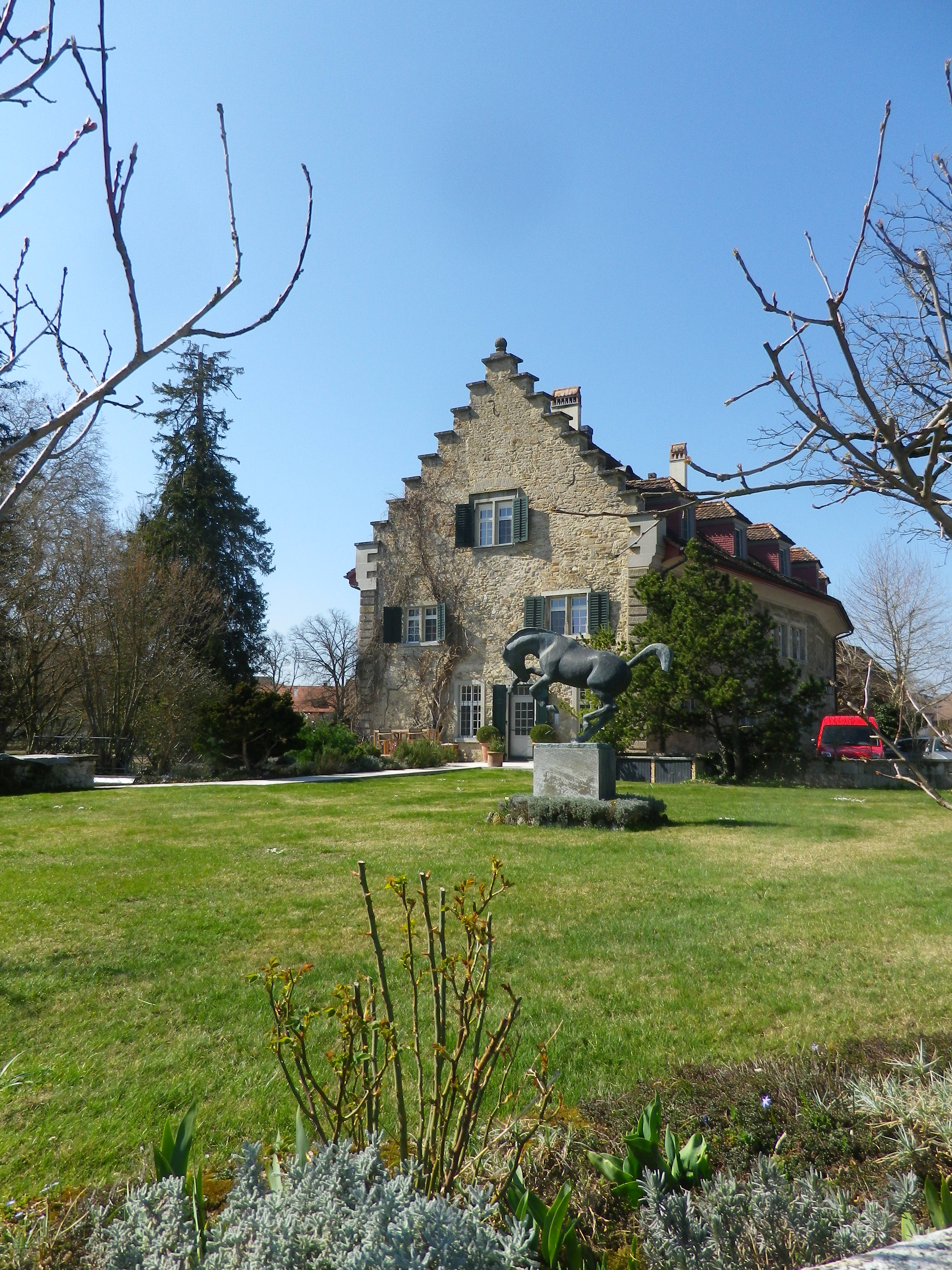
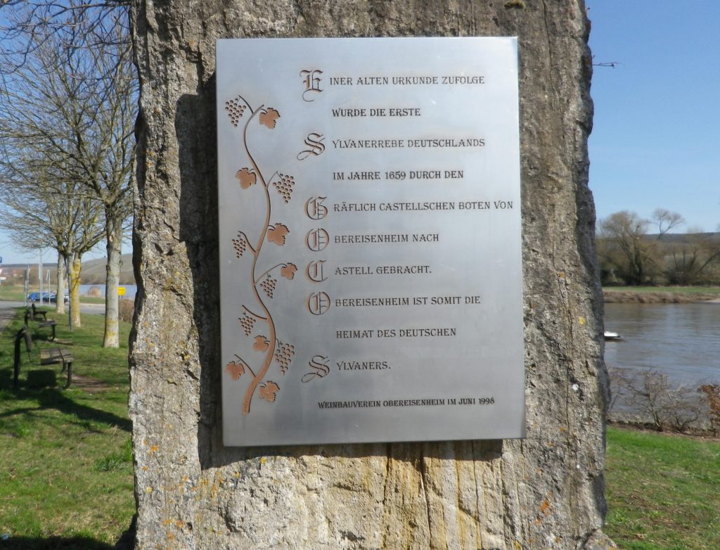
A combination of warm, sunny Spring weather and a hiking itinerary in homage to Silvaner lured me to Eisenheim in Franconia’s Maindreieck district, where Silvaner first made its official appearance in Germany in 1659. Fortunately, Eisenheim’s riverside location is great not just for vines, but also for hikes.

Commemorating Eisenheim: Silvaner’s German Homebase


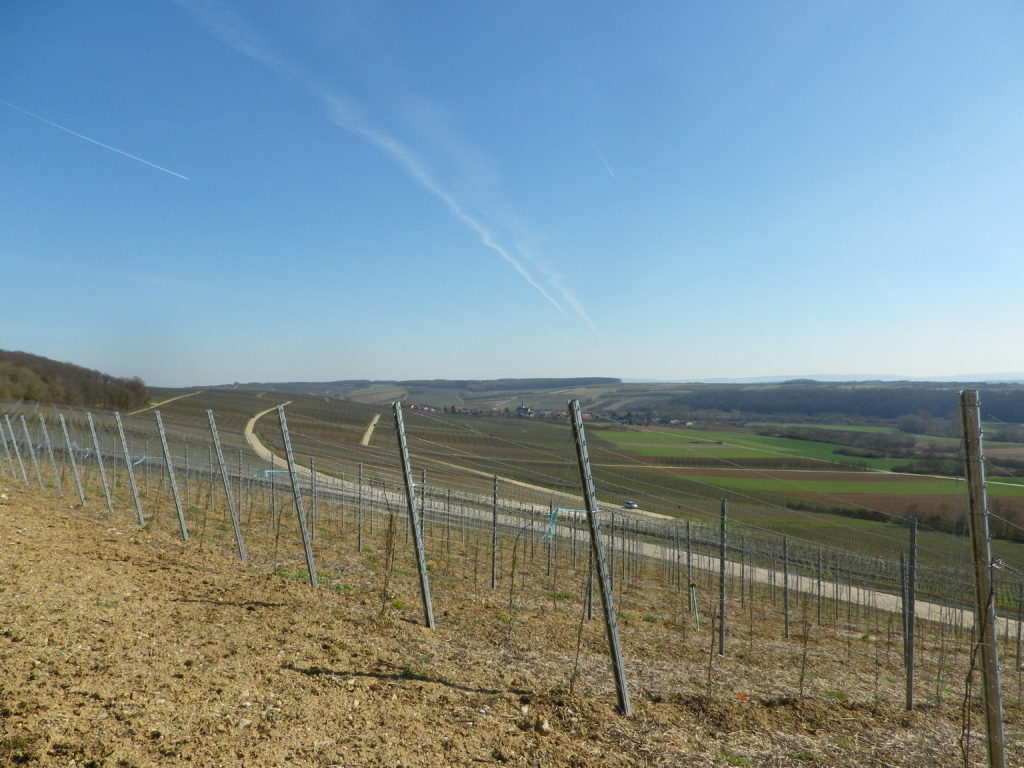
Beginning at the edge of the Main River, flowing slowly but inexorably along gentle green banks, the itinerary crossed the famous Main bicycle trail. In addition to hiking, this area is also ideal for bicyclists. Those who enjoy easy, leisurely itineraries will love the Main Bicycle (Main Radweg) trail, one of the favorites in Germany. Those who prefer a more challenging rides will follow one of several trails uphill, as did my hiking itinerary. The Silvaner Erlebnis trail leads through the quiet village, before entering into the vineyards. Soon, I was hiking over a hill and into a dale, amongst hectares and hectares (acres and acres) of vines that give the trail its name. Along the way, occasional signboards (only in German though) provide information on Silvaner, and the viticultural and vinicultural aspects of wine-making here.

Hectares of Vines


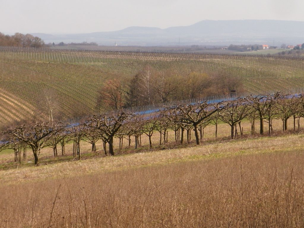
Once I finished the final, gentle ascent, I had my first glimpse of the Main River and the Steigerwald mountains. The trail proceeded along the tree-line paralleling the top of the ridgeline. I was glad it was early spring, because there was very little shade, and except for one tiny spot, I found myself entirely in the sun. The trail made its way through the south-facing vineyards, heading downriver. The twists and turns of the path offered different perspectives on the river and distant mountains.

The Distant Steigerwald Mountains


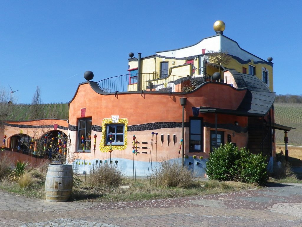
Soon the village of Untereisenheim came into view. The Weingut Hirn provides a unique and colorful visual cue. The winery’s main building is a Hundertwasser-esque building, a whimsical creation that invites comparisons between Gaudi’s Sagrada Familia basilica in Barcelona, and the Hundertwasser House in Vienna. The winery is open to the public, which gives visitors a chance to admire the building up close, and taste some excellent wine as well!

Weingut Hirn


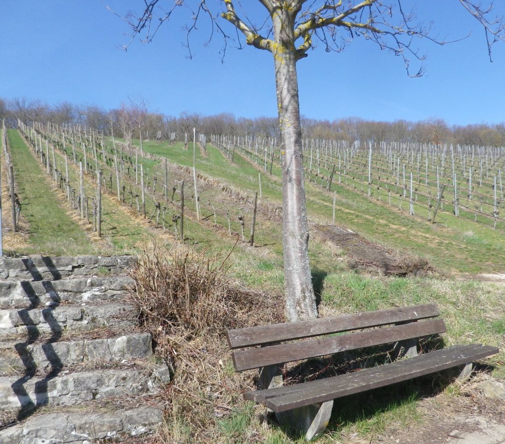
From Untereisenheim, the trail headed through the lower vineyards back to Obereisenheim. Benches along the way invite hikers to relax and take in the views. Peace and quiet predominate here, and a spell on a bench here and there, with friends and a glass of wine, add to the enjoyment of it all! Zum Wohl!

On the Silvaner Erlebnisweg Trail

Silvaner Erlebnisweg: Trail in a Nutshell


Trail Name:  Silvaner Erlebnisweg

Trail Type: Short distance circuit trail; well-maintained and almost exclusively paved, marking on the trail good in most places

Length:

Total – 6.8 kilometers/4.25 miles

Convenient to: Volkach, or Kitzingen, Germany

Marking:

Look for two types.

Green hills, blue river and white ferry on a which square background.

White letter C on a square, red(dish) background (indicating where the Silvaner Erlebnisweg diverges from the principle or other trails).

Trail Description:

The trail leads through mostly unshaded vineyards situated on gently rolling terrain in the Maindreieck, on primarily agricultural service lanes. This easy hike affords ample opportunities to admire distant vistas over the Main River valley, and plenty of benches (and the occasional picnic table) from which to enjoy them.

Trailhead:

Obereisenheim – An der Mainau/Dorfstrasse

Parking:

Obereisenheim – An der Mainau

Public Transportation Options:

Bus: The Frankenbus 8110 services this area from Kitzingen and Volkach. Check VVM (Verkehrsverbund Mainfranken) and VGN (Verkehrsverbund Grossraum Nuernberg) websites for schedules and routes.

Suggested Stages:

Trail Itinerary-Reference Points: (Counterclockwise)

Obereisenheim: Hintergasse, Marktplatz, Wipfelderstr, Setzweg, Buehlweg, cross Schwanfelder Strasse; Vineyards; back across Schwanfelder Strasse; long vineyard loop (almost to Dipbacherstr); Hertleinsbergweg, Bergstr

Representative Trail Photos:

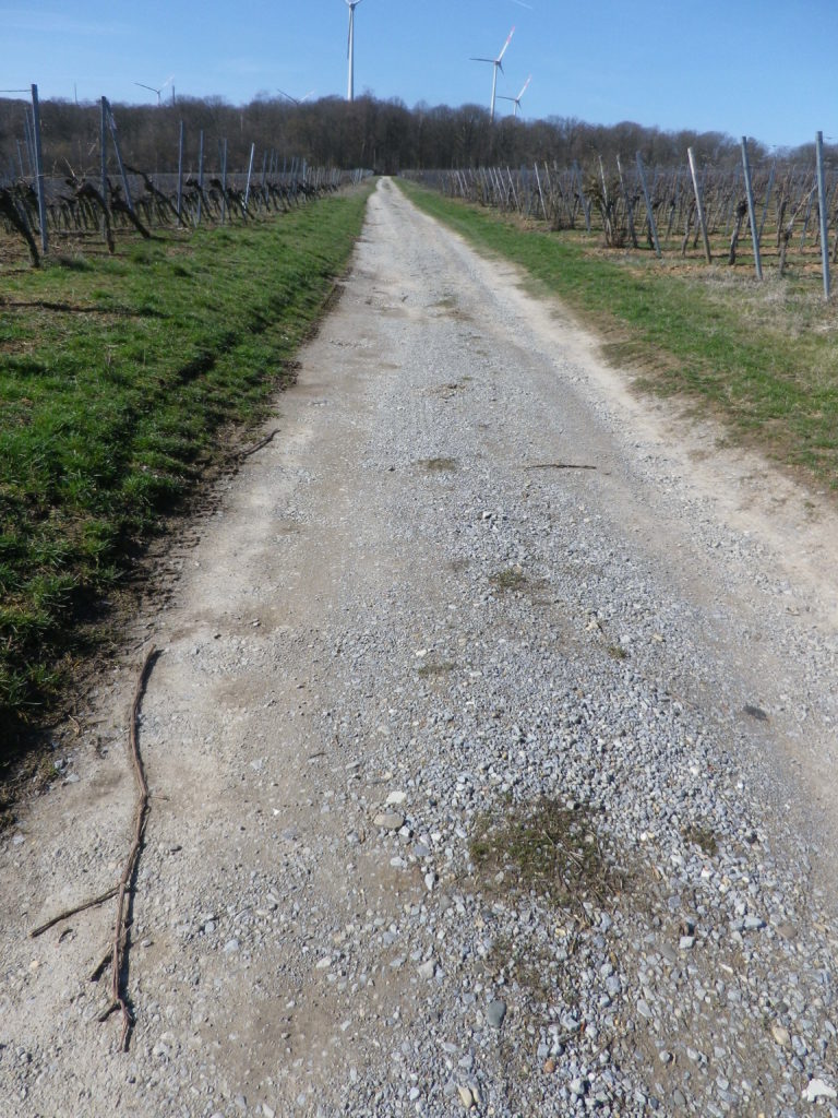
Non-Asphalted Section of Trail


Paved Section of the Trail


Restrooms:

None observed

Attractions on or near Trail:

WG Hirn is a winery designed in the Hundertwasser architectural style, and has acclaimed red and GG Silvaner wines!

Tasting along the Trail:

Weingut (WG) Jung, WG Schuler, WG Kramer, WG Reich, WG Ruegamer, in addition to WG Hirn, lie either directly on or near the trail.

Alternative Options:

Hiking: In nearby Fahr, the Obst-Wein-Main trail/Trail D circuit offers a short (3.5 kilometer) and a long (9.8 kilometer) version.

Biking: Eisenheim is on one of Germany’s favorite bike trails, the Main Radweg. Its itinerary follows mostly along the Main River for about 340 kilometers to the Rhine River at Wiesbaden, much of it on dedicated bike path. See the Nutshell here.

Additional Information:

Regional: https://www.frankentourismus.de/orte/eisenheim-169/

Trail specific: http://www.wandermap.net/de/route/3493744-silvaner-erlebnisweg-markt-eisenheim/#/z11/49.8300104,10.1214981/terrain

Comments:

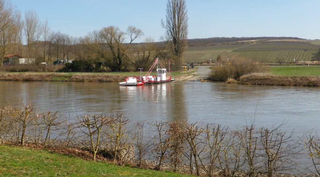
The ferries at Obereisenheim and nearby Fahr make a fun three-minute Main River crossing for hikers and bikers in the area.


Worrenberg’s Wines and Vines


Zurich, Swiss financial capital with a major international airport and  European travel hub, was not far away, as the map clearly showed. The occasional aircraft loomed overhead as a reminder. But otherwise, this corner of Switzerland was rural, peaceful and green – great characteristics for any hiking trail.

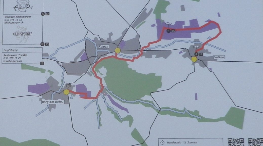
The Worrenberg Weinwanderweg trail route highlighted the vineyards and wines of three small villages. All villages were in the Canton of Zurich, but they were closer to Schaffhausen, the famous city of the Rheinfalls on the Rhine River. The high-point of the trail, literally and figuratively speaking, was the vineyard area known as the Worrenberg, a south-facing slope of sufficient steepness to make it ideal for planting vines in this area.

Vines on the Worrenberg Facing Volken


Zurich comes within what is known as the Deutsche Schweiz (German Switzerland), that part of Switzerland using German as its principle language. The Deutsche Schweiz has several different wine appellations, and in the region of Zurich, there is the Zuercher Weinland, a wine district not far from the wine region of Thurgau, centering around the Thur River, with the Rhine River to the west. It is a hilly region, not a mountainous one. Hence this short trail is an easy trail for families.

The Worrenberg


I began in the village of Berg am Irchel, which refers to the higher elevation south of the town. While there were a couple of wineries and a couple of taverns, it was difficult to see how people earned their livings. As I hiked along a couple of lanes, I passed a small “schloss”, a “palace” in name only, and soon entered the town’s small vineyard area.

The Schloss in Berg am Irchel


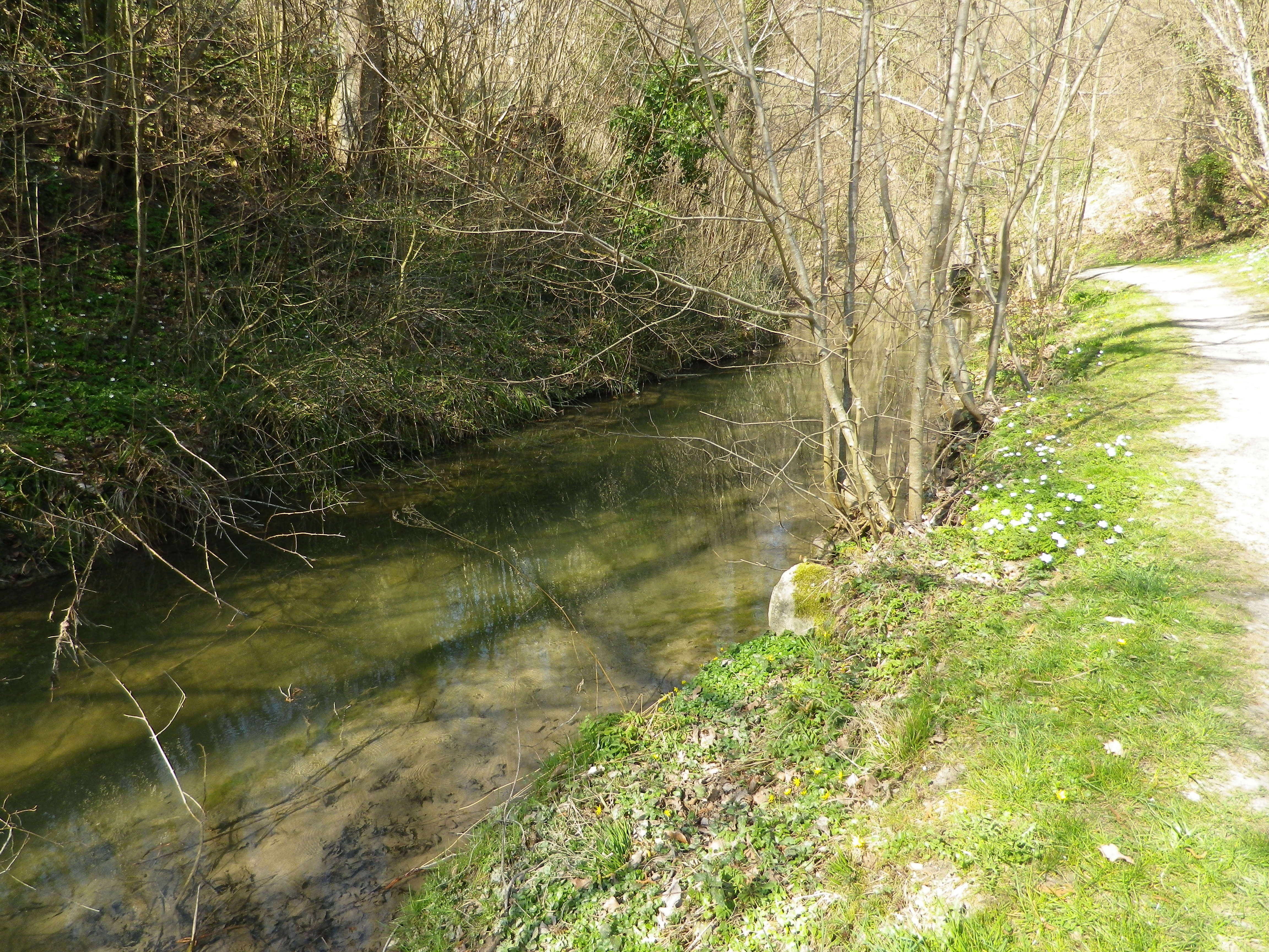
Once out of the vineyard area, the trail followed along a creek, shaded by old trees. The path led to Flaach, the second of the three villages, and the largest with almost 1300 residents. Nonetheless, I did not see a living soul as I meandered across the main street.

Trail by the Flaacher Creek


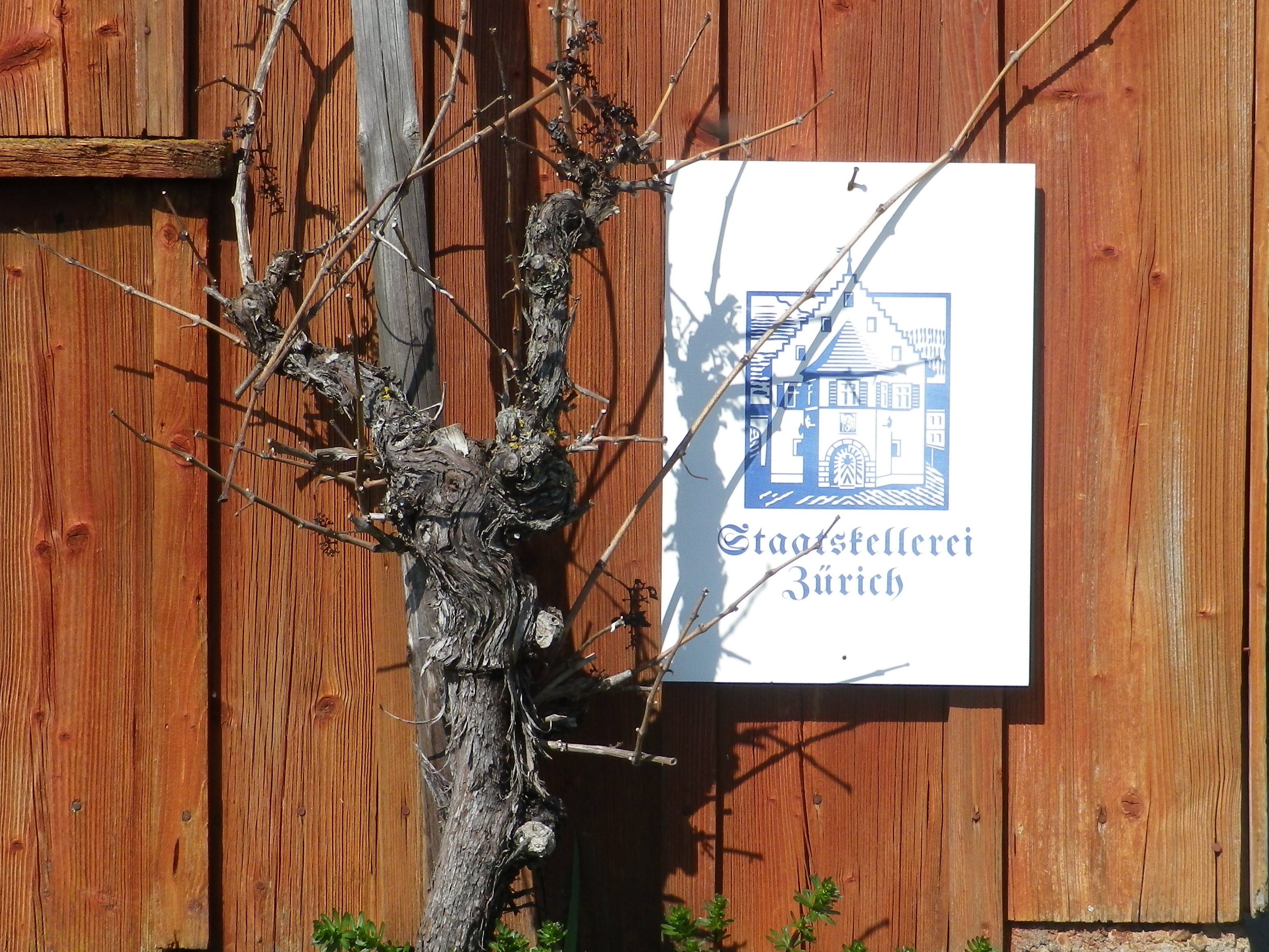
Leaving Flaach, winding up the side of the Worrenberg, were signs that provided information about viticulture and viniculture. The Worrenberg is the largest vineyard area in this district of the Zurich appellation, and several regional vintners had parcels here. A few vintner huts lined the way, including the one associated with the region’s largest winery: the Staatskellerei Zurich. Here and there, interesting perspectives on the villages and surrounding countryside appeared, to include the third village: Volken.

Staatskellerei Zurich Sign


Soon I was walking along the deserted streets of Volken, past farmhouses and tidy Swiss residences. The center of town held a tavern, the Wirtschaft zur Post (closed), opposite a tiny grocery store conjoined with the Post Office. The warm greeting of the woman attending the store was enthusiastic and heartfelt. I imagine not many “foreigners”, let along locals, come in. But tiny or not, the store had a relatively large wine section, which luckily included local wines. And the one person I saw that day was an enthusiastic booster of the local wine industry. As she helped me choose the best selection of wines from local vintners, I realized that even when you think you are in barely inhabited countryside, you can always find somebody willing to talk about wine.


Worrenberg Weinwanderweg: Trail in a Nutshell


Trail Name:  Worrenberg Weinwanderweg (AKA: Weinwanderweg am Worrenberg)

Trail Type: Short-distance trail; well-maintained and asphalt or hard-packed surfaces, marking on the trail is okay

Length:

Total – about 3 kilometers/almost 2 miles

Convenient to:

Schaffhausen or Zurich, Switzerland

Marking:

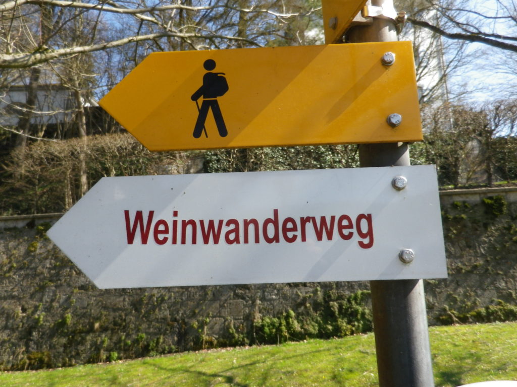
Yellow signs with stylized man in solid black, or “Weinwanderweg” in red letters on a white rectangular sign.

Signage for Worrenberg WWW


Trail Description: A very short and gentle hike through quiet, countryside, with vistas of rolling hills in the distance. Approximately one-quarter of the whole trail is shaded, as it passes through woods. The rest is in sun. Suitable for families with elementary-aged children, and very suitable for baby carriages (in all but a small section in the woods, where for less than 100 meters the going is a bit rougher) as well.

Trailheads:

Start: Berg am Irchel: Dorfstr

End: Volken: Flaachtalstr

Parking:

Parking spots are here and there along the lanes, and near fields on the outskirts of the villages.

Public Transportation Options:

Rail: The nearest station is in Andelfingen, with commuter service trains from Schaffhausen and Winterthur

Bus: The Swiss Postbus lines 670, 675 and 677 service these villages

Suggested Stages:

Not applicable

Trail Itinerary-Reference Points: (West-East)

Berg am Irchel: Dorfstr, Schlossstr, fields, along stream; Flaach: cross Oberdorfstr, Andelfingerstr, through vines on and up a slope; Volken: Glemettenstr, Flaachtalstr

Representative Trail Photos:

Surface Sample outside Villages


Restrooms: None observed

Attractions on or near Trail:

None observed

Tasting along the Trail:

Weingut Bauer in Berg am Irchel; Weingut Kilchsperger in Flaach; Weingut Zur Post (also a tavern) in Volken.

Alternative Options:

Hiking: Other hiking possibilities are available from local tourist offices/information points.

Biking:

-The 18 kilometer/11 milesWorrenberg-Thur bike tour follows from Flaach, over the Worrenberg, along the Thur River, then a bit along the Rhine River before returning to Flaach. Listed as medium plus difficulty.
-Part of the 90 kilometer-long Ostschweizer Weinroute (Wine Route), passes through Ossingen, about 10 km/6 miles away, on its way from Sankt Gallen to Schaffhausen, and the Rheinfalls.

Additional Information:

Regional: https://www.zuercher-weinland.ch/

Trail specific: http://www.worrenberg.net/Weinwanderweg/

Comments:

None


Hiking Rings Around Kaiserberg


Above the small town of Ringsheim, after a long, but steady, climb up the Kaiserberg, I took in my first view of the distant mountains. Off to the west, over 30 kilometers (18.5 miles) away, were the Vosges Mountains in Alsace, standing out against a clear sky. Off to the east were the mountains of Germany’s best-known forest, the Black Forest. I took some time to try to get good photos, thinking the opportunity was too good to pass. I was there, the sun was in the right position, and the atmospherics were mostly clear. Little did I know that I would cross close to this spot again, to complete the second part of this circuit trail, which was laid out like a rough figure eight. In fact, there were several circuit trails in this hiking paradise.
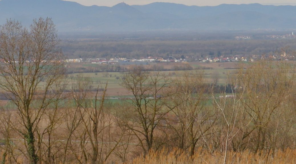
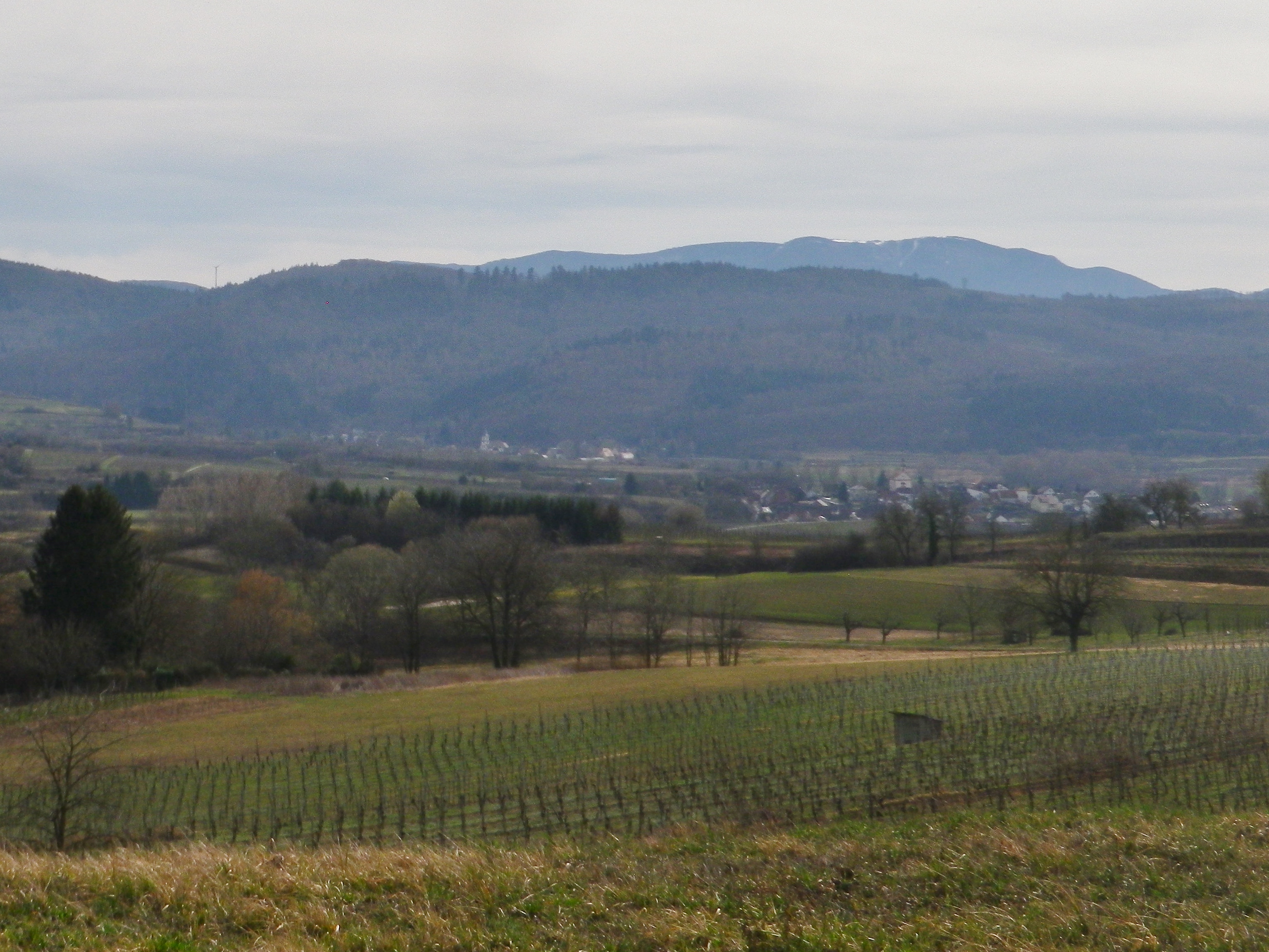
Black Forest Scene


So twice the hike to the top of the Kaiserberg, which really is not as challenging as it may seem. On the plus side, I had two opportunities to take in the great views. But the Kaiserberg is really famous in this area of the Breisgau for its vines and wines. In fact, the official start of this trail is in Ettenheim, a town at the foot of the Kaiserberg that attracted a famous French nobleman and bon-vivant: Bishop (later Cardinal) Louis Rene Edouard de Rohan. Maybe it was the wines?

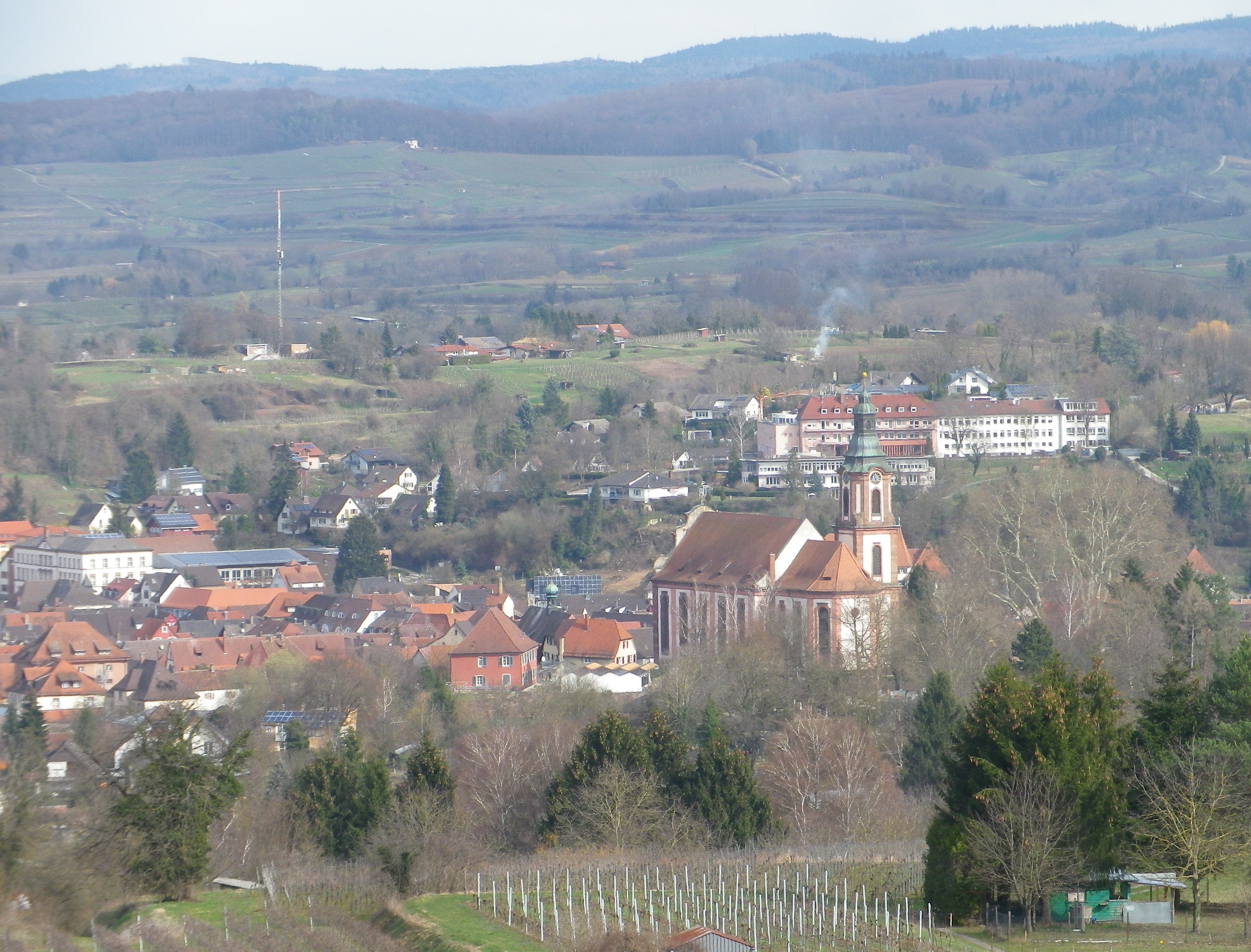
Ettenheim


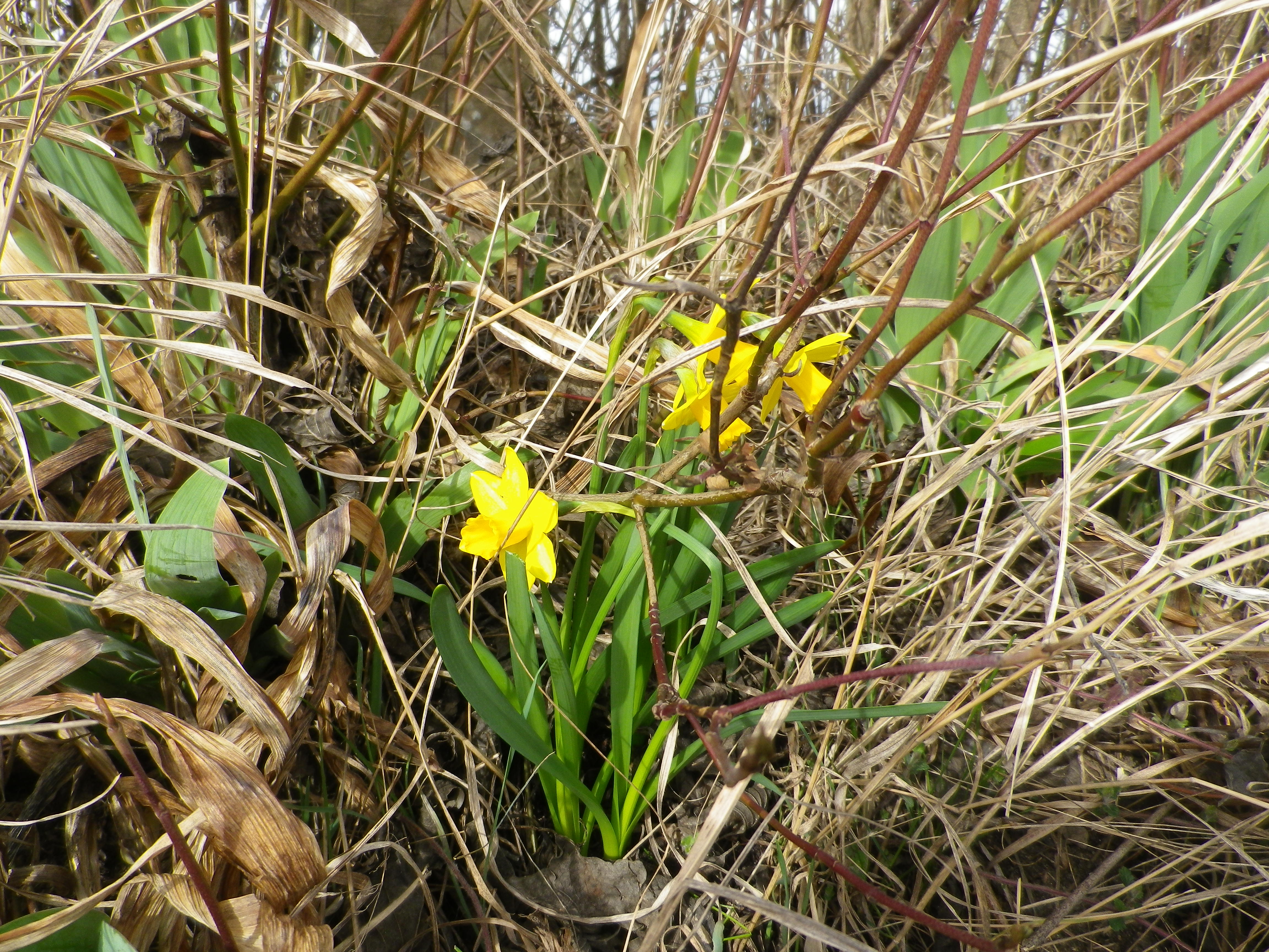
The situation of the Kaiserberg and Ettenheim is good for capturing sun and warmth, being high enough – but not too high – in the foothills of the Black Forest, with good and long western and southern exposure to sun. The scenery was certainly an attraction as well: dark green of the Black Forest, little blue mill ponds and the peaked mountain tops on both sides of the valley. Some of these were still snow covered. But to my delight, flowers were already blooming along the trail, a surefire indicator of imminent spring weather.

Daffodils in Early March


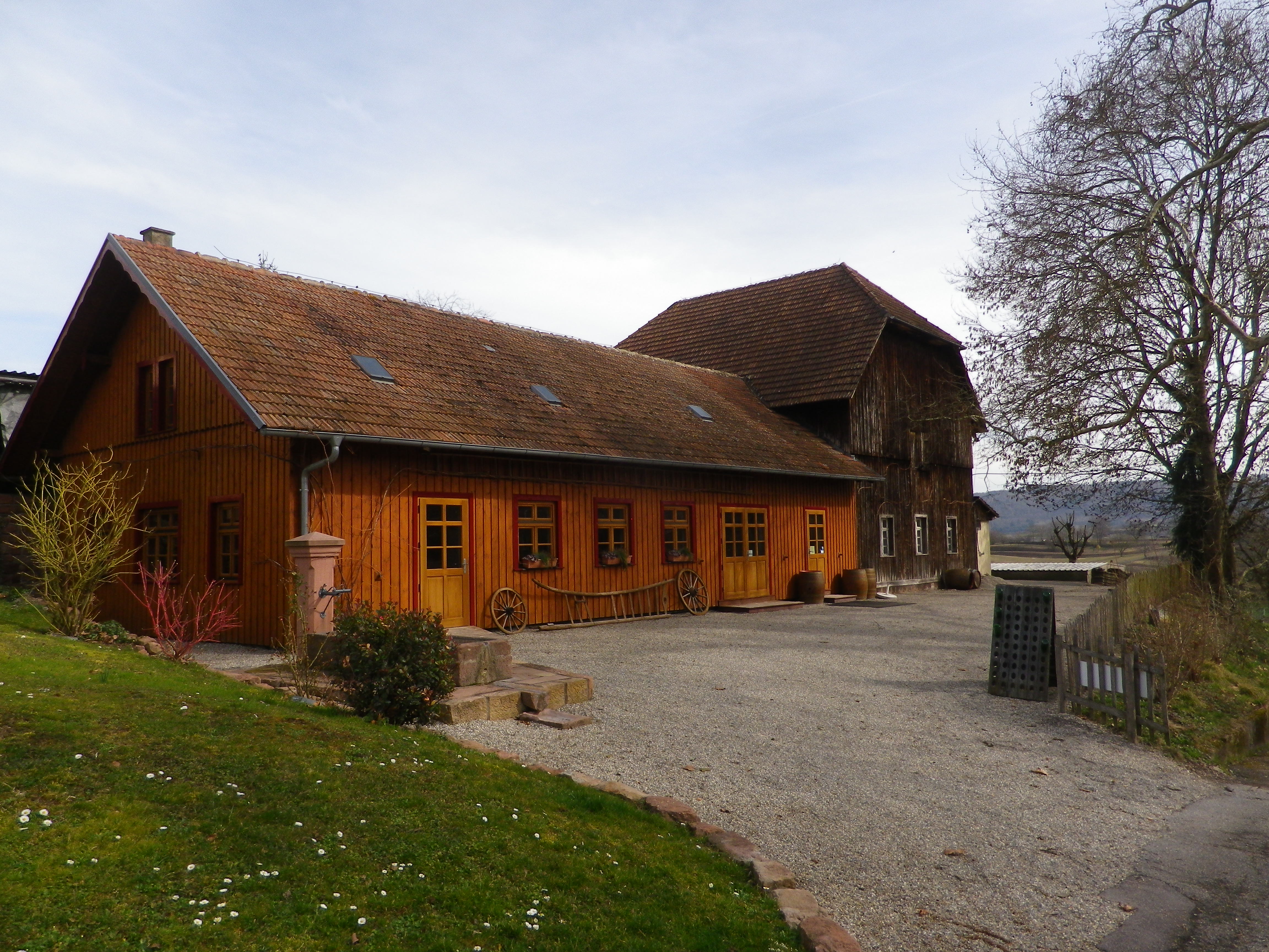
It was still too early though for the taverns on the trail to be open. (Normally, taverns on trails close in winter, and don’t open until at least Easter or April, whichever comes first.) Pity, as the trail passed two, each looking equally inviting. One was close to the highest point of the Kaiserberg, next to an observation tower. The other, set in a traditional style building, was nestled further down the Kaiserberg in a hollow, where it was warm and sunny, and sheltered from wind for the most part. Very gemuetlich! Both offer local wines, as there are several vintners in the surrounding towns of Ringsheim, Ettenheim and Herbolzheim, producing some of the best wines in the Breisgau wine district.

A Wine Tavern on the Trail


Fortunately though, the trail ends (and begins) by the Weingut Weber (Weber Winery). While their “wine lounge” with its attractive  view from the patio was also closed, at least the shop and restaurant were open. Maybe Cardinal de Rohan knew something, or maybe he started something, but it is certainly true that one can eat, drink and even hike well in this bucolic corner of the Breisgau.

In the Drome – Provencale


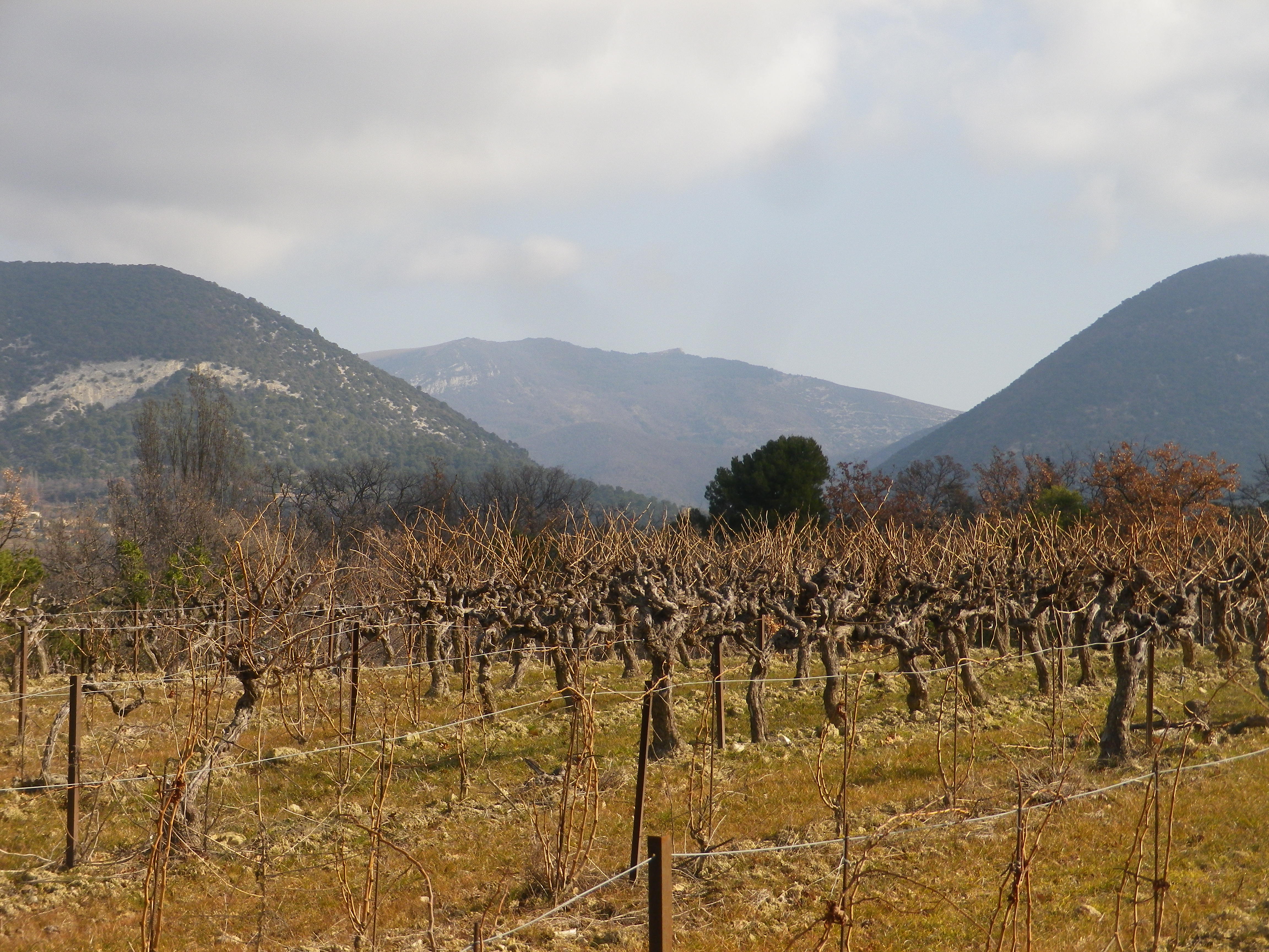
Walking through the garrigue, only a few meters away from the Vaucluse, with views of the Baronnies Provencales National Park, with its arid landscape, surrounded by vines producing Cotes du Rhone wine, you could be forgiven for thinking you were in Provence.

Instead, I was in the Drome Provencale, in Saint Pantaleon-Les Vignes, to be exact. A wine-themed trail developed in association with the local cooperative, the Vignerons de Valleon, runs through and around the village. While the trail begins in the village, itself on the border with the Vaucluse, it soon enters vineyards. Not surprising as the village has the word “vines” in its name.

Vineyards Beginning at Village Edge


Saint Pantaleon is one of the 16 or so villages dedicated to producing some of the best Cotes du Rhone red wines there are. The village wines may carry the appellation name Cotes du Rhone Village and its own name on its bottles, a signal honor indeed. No doubt they had plenty of practice. In 900s, it was officially cited as having vineyards, although at that point, viticulture was probably close to a thousand years old in the area. Proud of their history, there is a wine education trail along part of the trail apparently identified by number bottles (but I lacked the brochure/key to what it all meant).


View of St Pantaleon


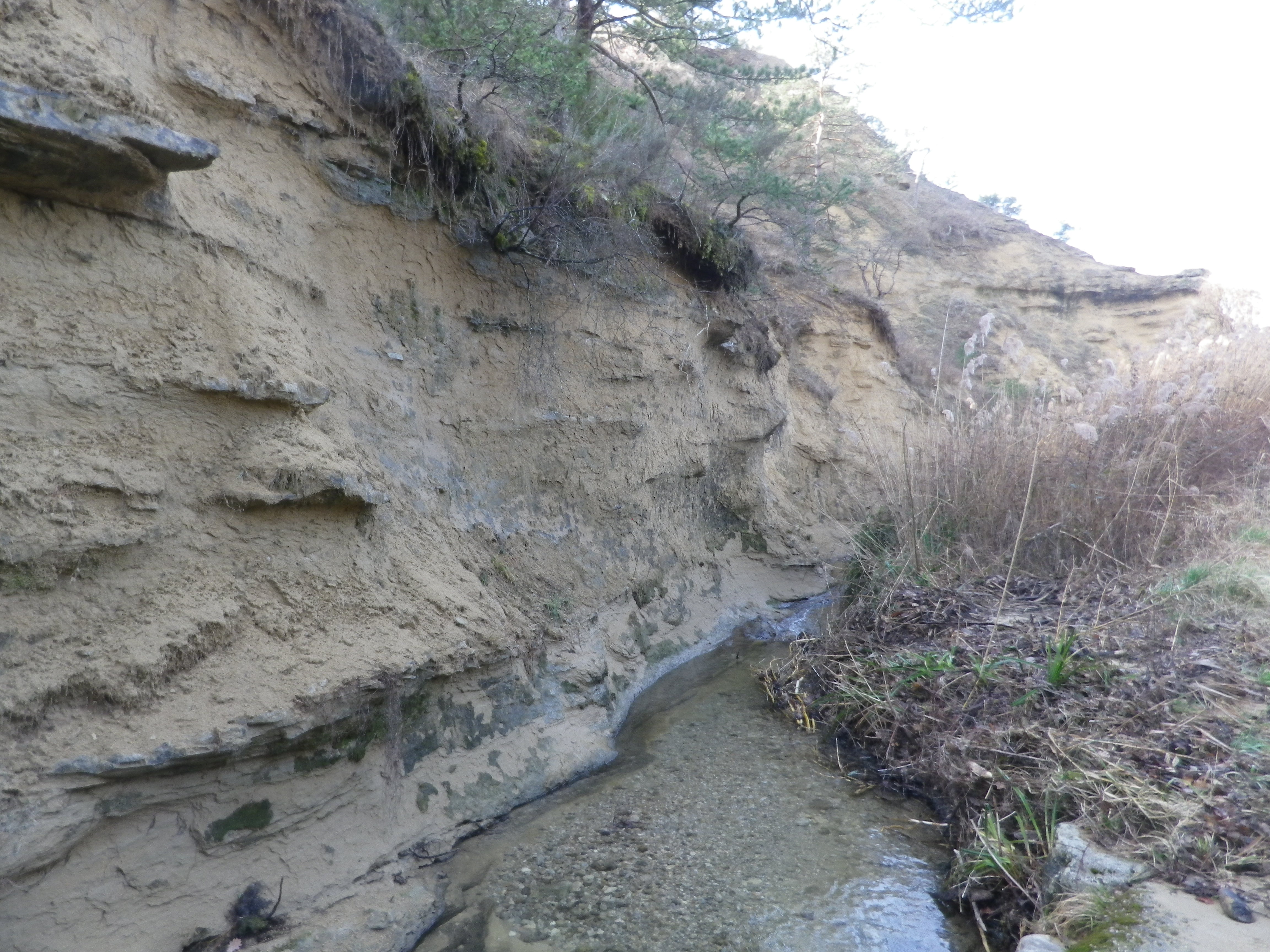
At a cluster of farmsteads, passing several palm trees slightly swaying in a warm February breeze, the trail began to lead to different terrain. A different, wilder, landscape begins to appear. After passing through the hamlet on the other side of the main road, the trail leads to a ravine. The exposed bank showed a mix of sand, clay and pebbles, mostly limestone, it seemed. So, this is what the vines grew in! Fortunately, it had not rained for a while. The small stream ran swiftly along its base, and judging from the gravel and rocks on the trail, it ferociously overran its banks on occasion. Picking my way over the rubble, I followed the trail uphill.

Torrente de la Fosse


After a short and gentle incline, I soon reached the high ground. Unlike the vineyards below, these vineyards were sheltered and more discrete. Wandering through a mix of vineyard, fields and woods, it was a quietly peaceful interlude. All the better to enjoy the beautiful views. The distant Rhone River Valley and the Ardeche mountains lay to the west, at a minimum some 30 kilometers (20 miles) way, but appearing closer in the bright sun and clear air. To the north and east, the Baronnies National Park and the Prealpes, foothills to the Alps further east, seemed close enough to reach out and touch.

Baronnies Provencales National Park


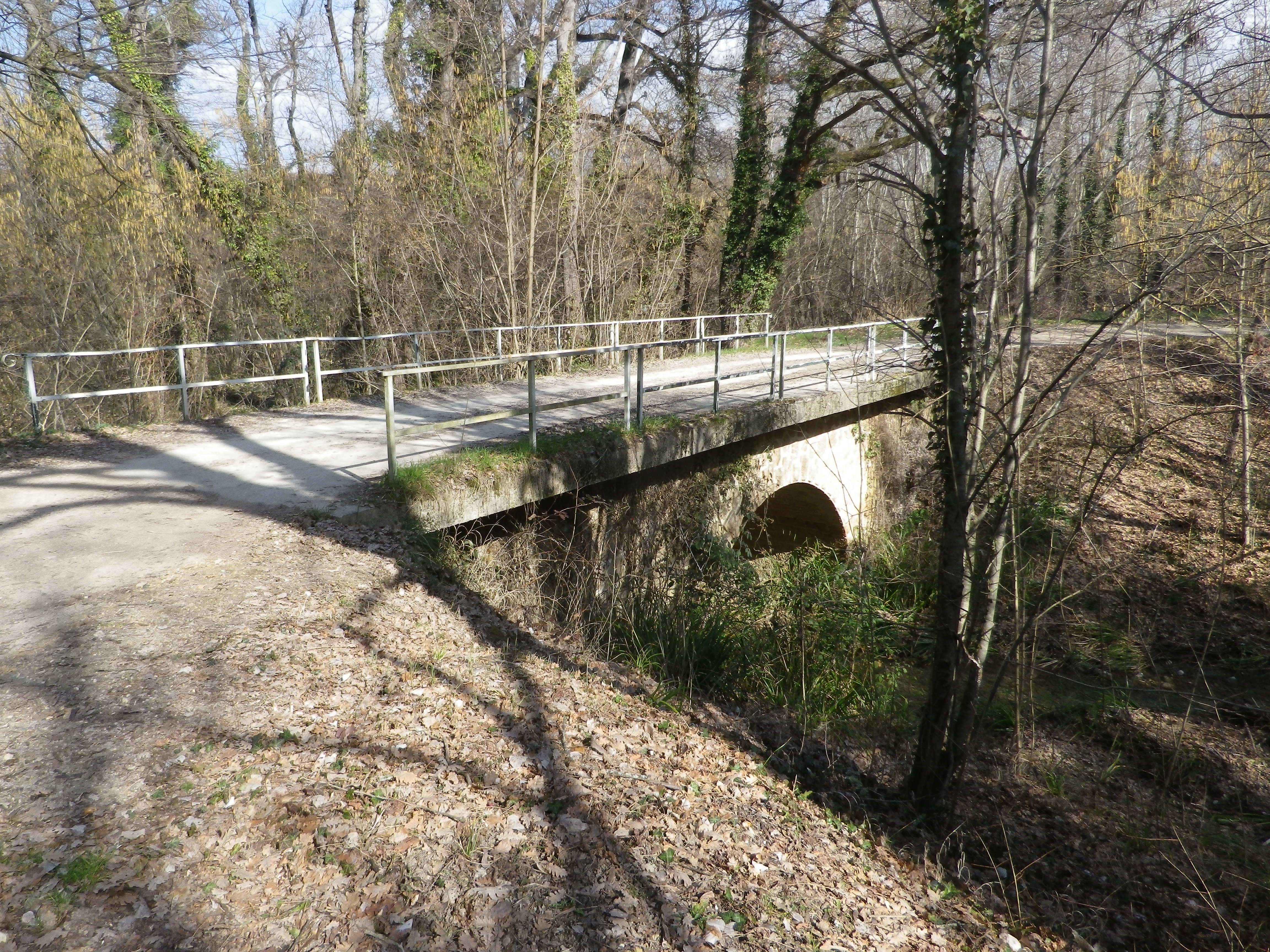
The terrain is lined with ravines, some with water. While the trail managed to avoid the roughest parts, it did have some ascents and descents along the way. Luckily the trail crossed one of the drops along a viaduct. It had been constructed for the train from the Rhone to Nyons, further east. The cooperative created a red wine cuvee and named it in honor of the train, and the bottle label bears a drawing of the train passing along the viaduct.

The Old Viaduct


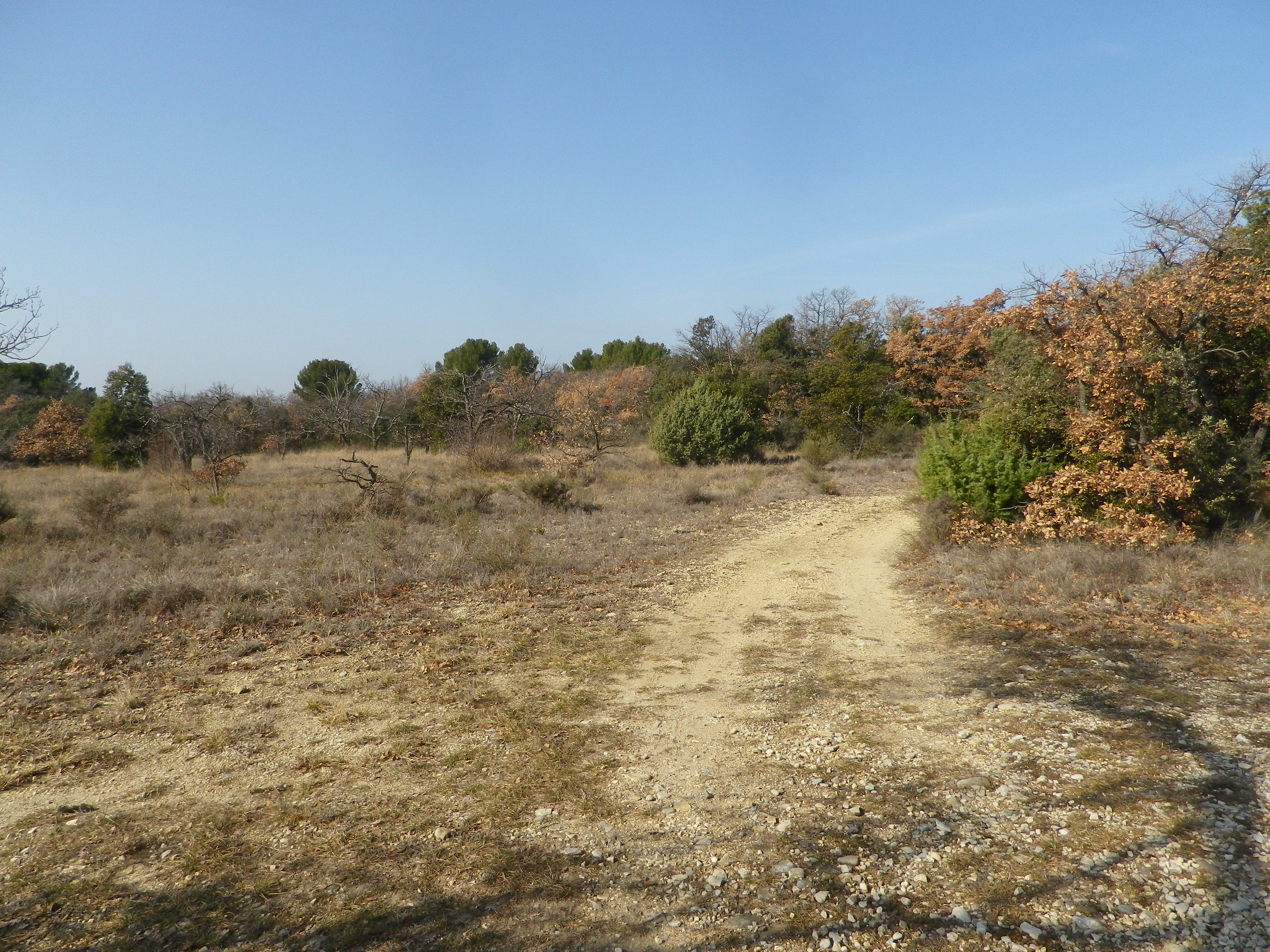
As I headed downhill, the smell of garrigue filled the air: Pine, rosemary, and thyme. Lavender plants, not in bloom in winter, were nonetheless present here and there. The generally dry and mostly sunny climate in this part of France enables these plants, along with grape vines, to grow well here. In fact, in many places, they will grow wild. Running fingers through a wild rosemary bush on the trail, is one way to whet an appetite for dinner – which naturally would include local wine. What a nice end to a day on the trail!

Garrigue