Tag Archives: Germany

Silvaner Erlebnisweg: Trail in a Nutshell


Trail Name:  Silvaner Erlebnisweg

Trail Type: Short distance circuit trail; well-maintained and almost exclusively paved, marking on the trail good in most places

Length:

Total – 6.8 kilometers/4.25 miles

Convenient to: Volkach, or Kitzingen, Germany

Marking:

Look for two types.

Green hills, blue river and white ferry on a which square background.

White letter C on a square, red(dish) background (indicating where the Silvaner Erlebnisweg diverges from the principle or other trails).

Trail Description:

The trail leads through mostly unshaded vineyards situated on gently rolling terrain in the Maindreieck, on primarily agricultural service lanes. This easy hike affords ample opportunities to admire distant vistas over the Main River valley, and plenty of benches (and the occasional picnic table) from which to enjoy them.

Trailhead:

Obereisenheim – An der Mainau/Dorfstrasse

Parking:

Obereisenheim – An der Mainau

Public Transportation Options:

Bus: The Frankenbus 8110 services this area from Kitzingen and Volkach. Check VVM (Verkehrsverbund Mainfranken) and VGN (Verkehrsverbund Grossraum Nuernberg) websites for schedules and routes.

Suggested Stages:

Trail Itinerary-Reference Points: (Counterclockwise)

Obereisenheim: Hintergasse, Marktplatz, Wipfelderstr, Setzweg, Buehlweg, cross Schwanfelder Strasse; Vineyards; back across Schwanfelder Strasse; long vineyard loop (almost to Dipbacherstr); Hertleinsbergweg, Bergstr

Representative Trail Photos:
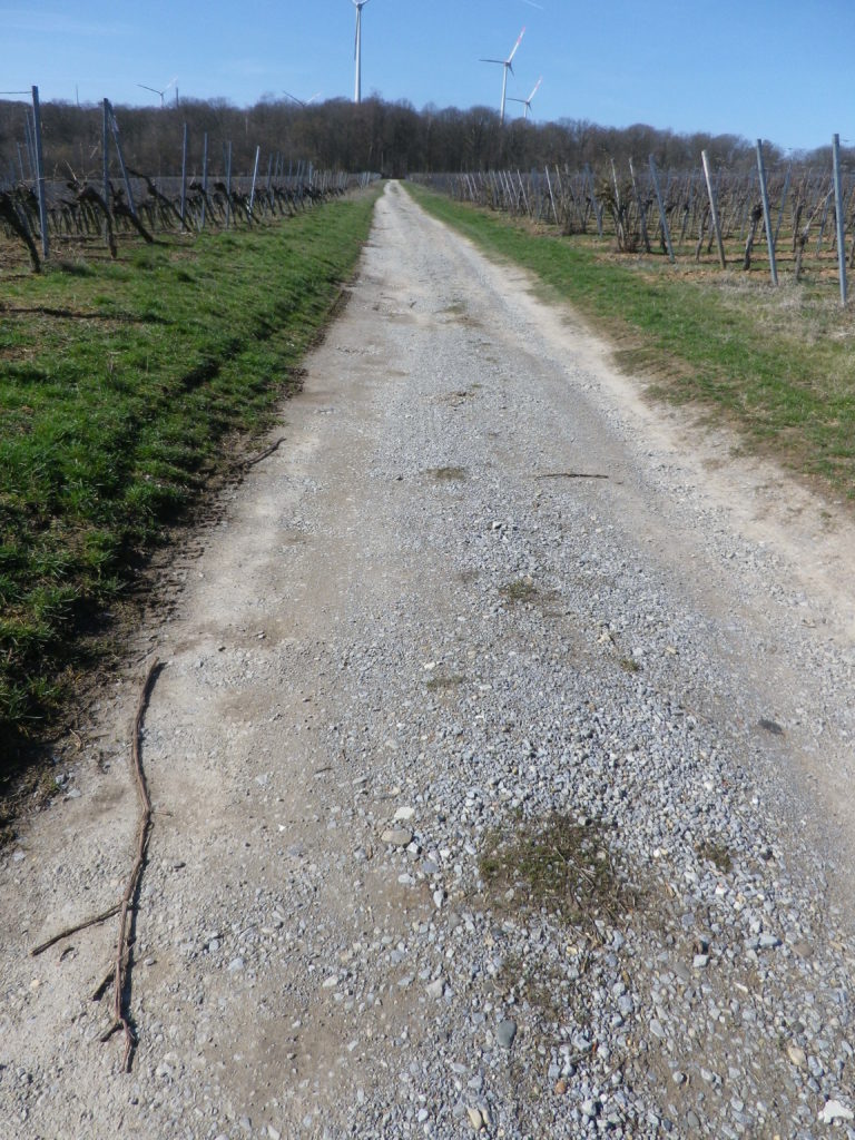
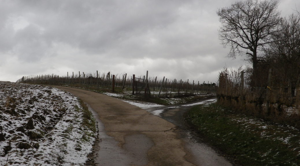
Non-Asphalted Section of Trail


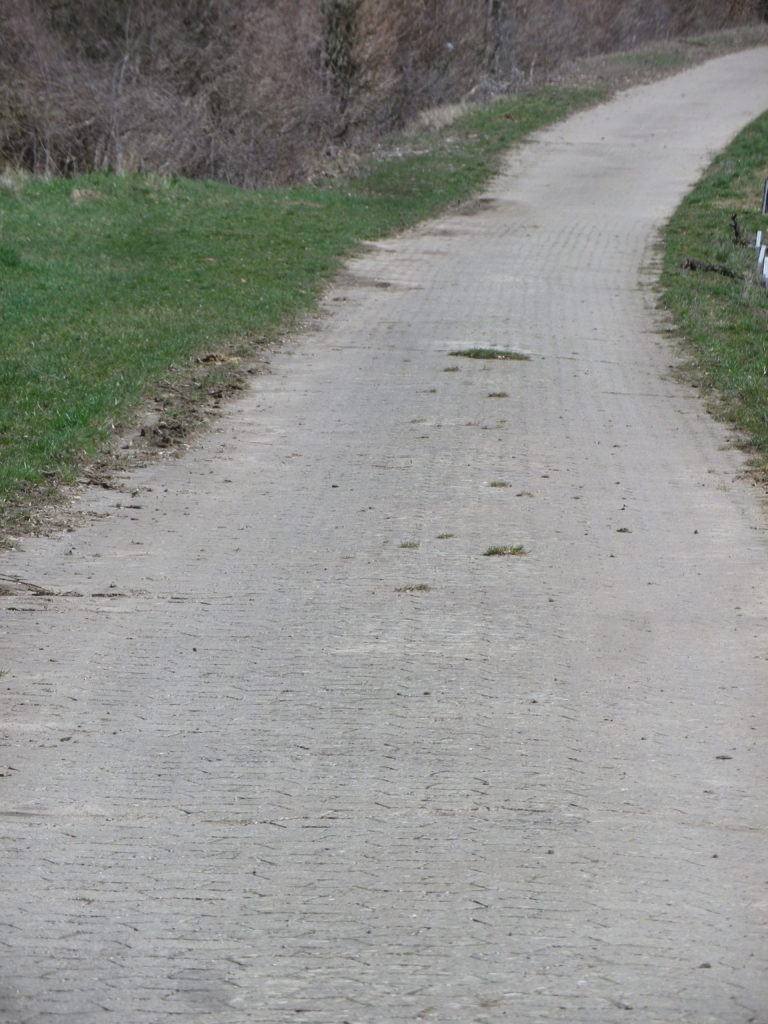
Paved Section of the Trail


Restrooms:

None observed

Attractions on or near Trail:

WG Hirn is a winery designed in the Hundertwasser architectural style, and has acclaimed red and GG Silvaner wines!

Tasting along the Trail:

Weingut (WG) Jung, WG Schuler, WG Kramer, WG Reich, WG Ruegamer, in addition to WG Hirn, lie either directly on or near the trail.

Alternative Options:

Hiking: In nearby Fahr, the Obst-Wein-Main trail/Trail D circuit offers a short (3.5 kilometer) and a long (9.8 kilometer) version.

Biking: Eisenheim is on one of Germany’s favorite bike trails, the Main Radweg. Its itinerary follows mostly along the Main River for about 340 kilometers to the Rhine River at Wiesbaden, much of it on dedicated bike path. See the Nutshell here.

Additional Information:

Regional: https://www.frankentourismus.de/orte/eisenheim-169/

Trail specific: http://www.wandermap.net/de/route/3493744-silvaner-erlebnisweg-markt-eisenheim/#/z11/49.8300104,10.1214981/terrain

Comments:

The ferries at Obereisenheim and nearby Fahr make a fun three-minute Main River crossing for hikers and bikers in the area.
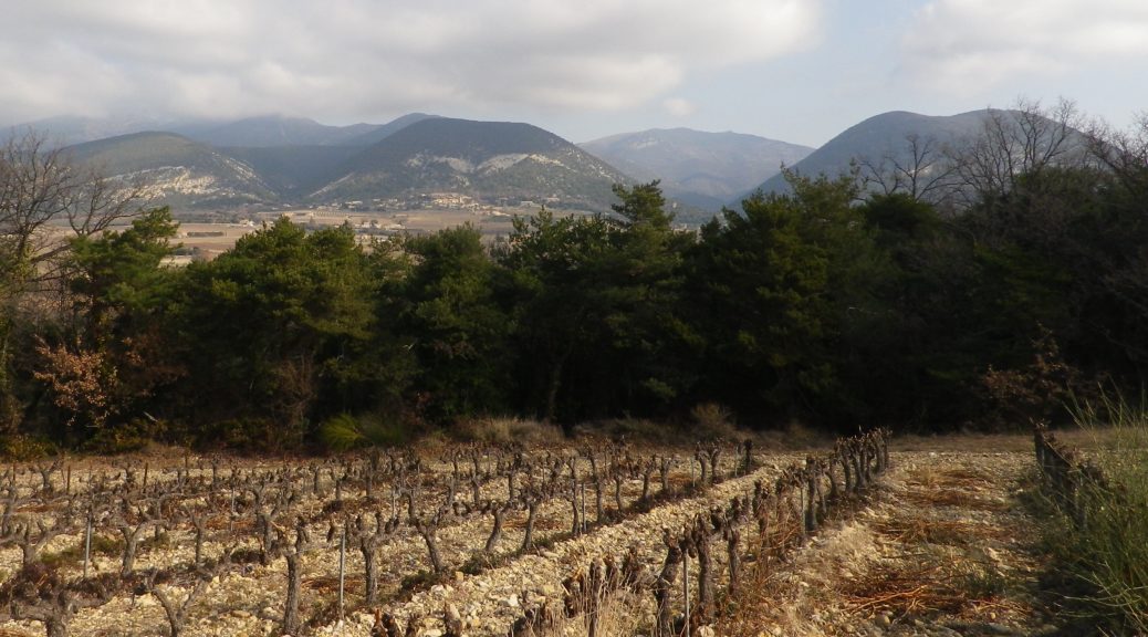
 

Hiking Rings Around Kaiserberg


Above the small town of Ringsheim, after a long, but steady, climb up the Kaiserberg, I took in my first view of the distant mountains. Off to the west, over 30 kilometers (18.5 miles) away, were the Vosges Mountains in Alsace, standing out against a clear sky. Off to the east were the mountains of Germany’s best-known forest, the Black Forest. I took some time to try to get good photos, thinking the opportunity was too good to pass. I was there, the sun was in the right position, and the atmospherics were mostly clear. Little did I know that I would cross close to this spot again, to complete the second part of this circuit trail, which was laid out like a rough figure eight. In fact, there were several circuit trails in this hiking paradise.

Black Forest Scene


So twice the hike to the top of the Kaiserberg, which really is not as challenging as it may seem. On the plus side, I had two opportunities to take in the great views. But the Kaiserberg is really famous in this area of the Breisgau for its vines and wines. In fact, the official start of this trail is in Ettenheim, a town at the foot of the Kaiserberg that attracted a famous French nobleman and bon-vivant: Bishop (later Cardinal) Louis Rene Edouard de Rohan. Maybe it was the wines?

Ettenheim


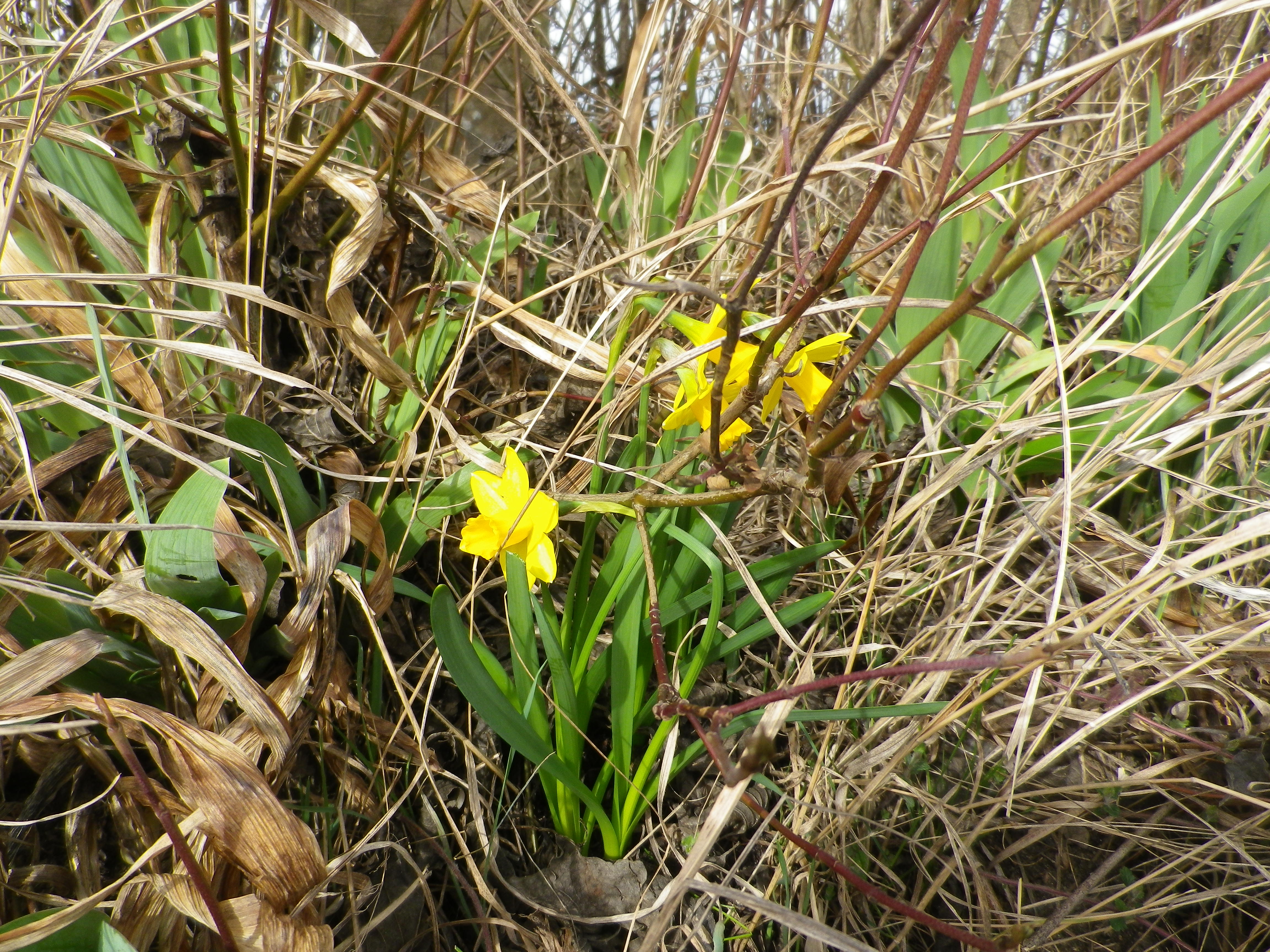
The situation of the Kaiserberg and Ettenheim is good for capturing sun and warmth, being high enough – but not too high – in the foothills of the Black Forest, with good and long western and southern exposure to sun. The scenery was certainly an attraction as well: dark green of the Black Forest, little blue mill ponds and the peaked mountain tops on both sides of the valley. Some of these were still snow covered. But to my delight, flowers were already blooming along the trail, a surefire indicator of imminent spring weather.

Daffodils in Early March


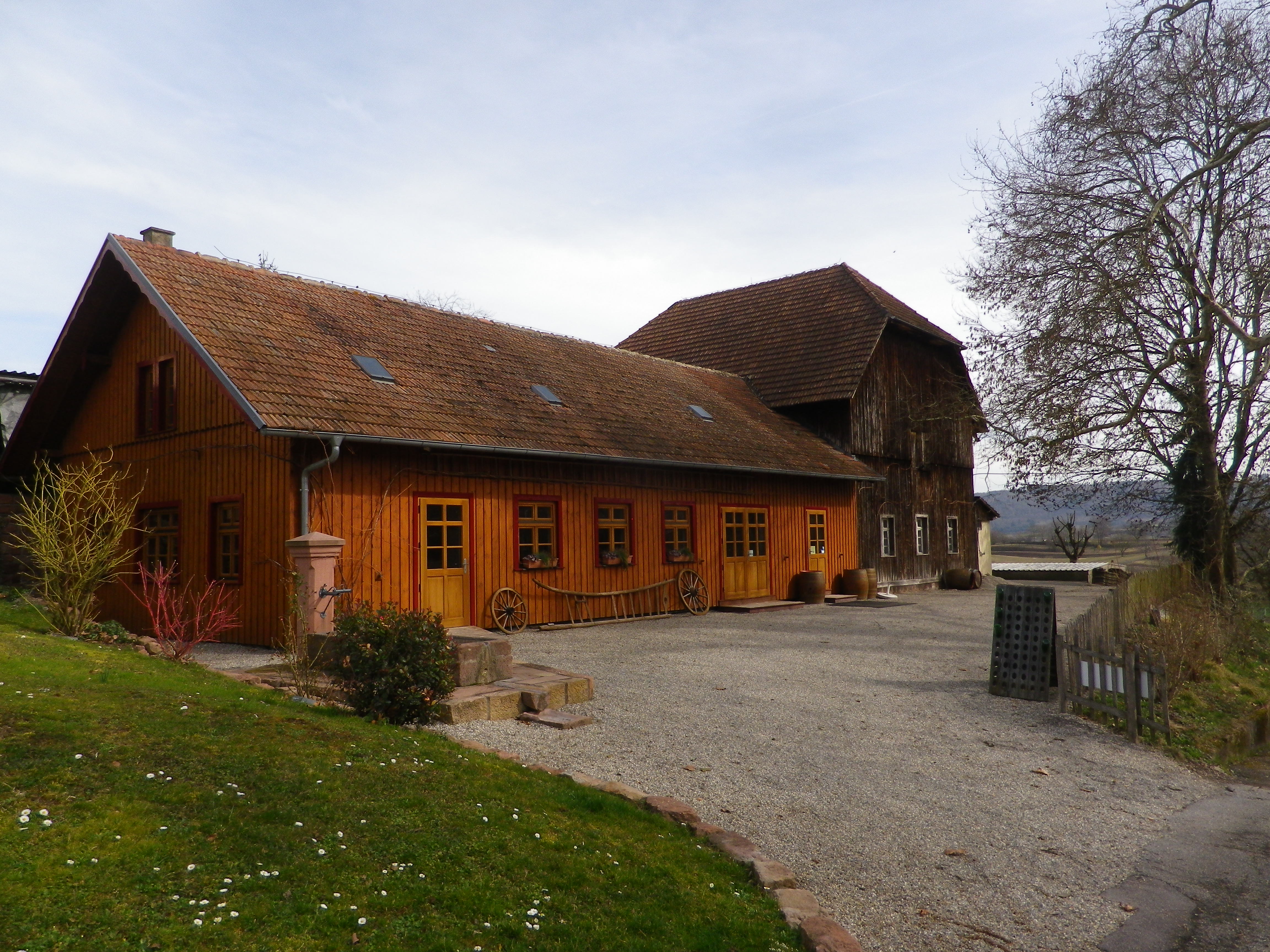
It was still too early though for the taverns on the trail to be open. (Normally, taverns on trails close in winter, and don’t open until at least Easter or April, whichever comes first.) Pity, as the trail passed two, each looking equally inviting. One was close to the highest point of the Kaiserberg, next to an observation tower. The other, set in a traditional style building, was nestled further down the Kaiserberg in a hollow, where it was warm and sunny, and sheltered from wind for the most part. Very gemuetlich! Both offer local wines, as there are several vintners in the surrounding towns of Ringsheim, Ettenheim and Herbolzheim, producing some of the best wines in the Breisgau wine district.

A Wine Tavern on the Trail


Fortunately though, the trail ends (and begins) by the Weingut Weber (Weber Winery). While their “wine lounge” with its attractive  view from the patio was also closed, at least the shop and restaurant were open. Maybe Cardinal de Rohan knew something, or maybe he started something, but it is certainly true that one can eat, drink and even hike well in this bucolic corner of the Breisgau.

Wine Notes: Baden’s Breisgau District


What I Learned:

The Breisgau area of Germany’s Baden Wine Region has some unique topography, both natural and manmade. From the plain, you see ridgeline after ridgeline, each rising higher as it moves away from the Rhine, and toward the upper reaches of the Black Forest to the east.

This district produces red and white wines, in almost equal quantities. Mueller-Thurgau is the most planted white varietal, followed by Rulaender (Grauer Burgunder/Pinot Gris), and then Pinot Blanc. The Pinot (Burgunder) varietals are widely planted here. In fact, according to the Weinlandbreisgau.de site, the Blauer Spaetburgunder (Pinot Noir) constitutes a whopping 42.9% of all wine made in the Breisgau. Combined with the Pinot Blanc figure of 9.5% and the Pinot Gris figure of 12%, this means that the Pinots themselves constitute over 60% of all wine from this area.

Most planted varietal in the Breisgau area around Kippenheim is the Spaetburgunder. Other areas within the Breisgau grow the red varietals of Regent (developed in 1967 in the neighboring Pfalz wine region) and Cabernet Mitos, and Riesling and Chardonnay as other white varietals. All other grapes grown each constitute less than one per cent of the total.


What I Tasted:

2018 Sauvignon Blanc, Ettenheimer Kaiserberg, Trocken, Deutscher Qualitaetswein, Wein und Sektgut Weber (Ettenheim): A dry white wine with medium gold color; nose of gooseberry and citrus, with gooseberry, citrus and slight spice and pear flavors; medium plus acidity, with a tart finish, well balanced and a great representative of this varietal wine.

2012 Weissburgunder, Ettenheimer Kaiserberg, Trocken, Qualitaetswein, Weingut Jaeger (Ettenheimweiler): A dry white wine with medium gold color; citrus flavors with a full mouthfeel.

2011 Grauburgunder, Ettenheimer Kaiserberg, Trocken, Qualitaetswein, Weingut Jaeger, (Ettenheimweiler): A dry white wine with light gold color; floral notes with a trace of minerality, and a full, smooth mouthfeel.

Sekt, Brut, Blanc de Noir, Deutscher Sekt, Wein und Sektgut Weber (Ettenheim): A dry red sparkling wine vinified white, with very fine, lively bubbles, and dark minus golden color; floral and yeast nose, green apple and bread flavors; medium plus acidity.


 Weinbergwanderung Kaiserberg: Trail in a Nutshell


Trail Name:  Weinbergwanderung Kaiserberg AKA Weinwanderwege am Kaiserberg

Trail Type: Short distance figure eight circuit; well-maintained and almost exclusively paved, fairly good marking on the trail.

Length: 9.75 kilometers/6 miles

Convenient to: Offenburg, Freiburg, Baden-Wuerttemberg, Germany

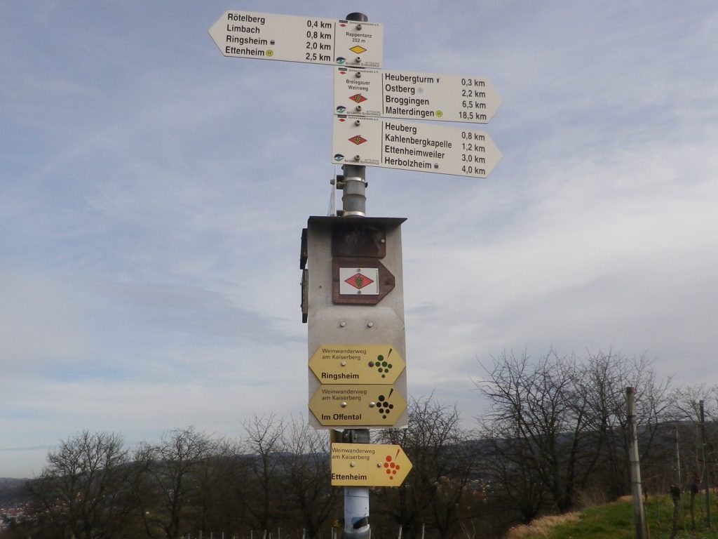
Marking: Small, yellow aluminum signs with black lettering and stylized black grapes on the side. (Bottom three in the photo below)

Many Trails, Many Signs on the Kaiserberg


Trail Description:

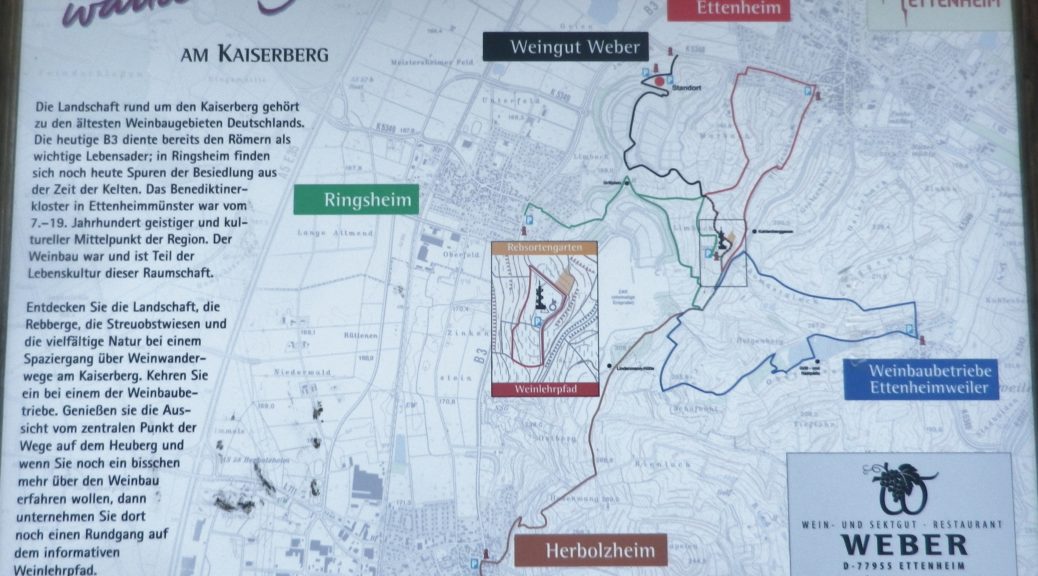
This moderately challenging hike (with several inclines and declines), covers the Kaiserberg, a hilly and wonderfully rural area set in the foothills of the Black Forest, yet not far from more urban areas. The biggest towns of Herbolzheim and Ettenheim sponsor several marked wine-themed trails, to include a short wine education trail through the vineyards. This trail, sponsored originally by the Weber winery, joins segments of these shorter trails to make a longer circuit, suitable for families young and old, and even cyclists.

Trailhead:

Ettenheim, Im Offental

Parking:

Ettenheim has a number of small parking lots, not too far from the trail. The closest is on Schwarzwaldstrasse

A small, unimproved parking lot at the top of the main Kaiserberg hill may be reached via Ringsheim’s Bergwerkstrasse.

See the additional comment below about parking.

Public Transportation Options:

Rail: Regional trains DB and SBB) frequently service the Ettenheim area (The closest station to the trail is Ringsheim.)

Bus: Sudbadenbus services this area, and provides route and schedule information at www.suedbadenbus.de

Suggested Stages:

Either the northern or southern half of the figure eight circuit may be hiked separately

Trail Itinerary-Reference Points: (Counterclockwise)

Ettenheim: Im Offental, through the Weber winery complex, vineyards, past a memorial with benches; up a draw between vines and woodline; past Kahlenbergkapelle (chapel); toward Lindenmann-Hutte (hut), scenic overlook with boulders; downhill into vineyards; past a hut; On Margarten, past Hummels Viehweid Straussi (Tavern), continue through vineyards; through intersection/section of trail by Kahlenbergkapelle; Heubergturm; through vineyards, return to Weber winery.

Representative Trail Photos:

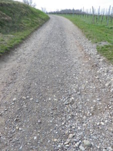
Sample Non-Asphalt Surface of Trail


Restrooms:

Heubergturm (on the trail) has restrooms, but they are sometimes locked.

Attractions on or near Trail:

Just lots of bucolic scenery.

Tasting along the Trail:

Weber winery, and two seasonal taverns: the Heubergturm, and Hummels Viehweid Straussi; all right on the trail.

Alternative Options:

Hiking: In addition to the long-distance/multi-day Breisgauer Weinweg (see the Nutshell here), there are several circuit hikes. These range from 1 to 5 kilometers, and may be combined for more distance and hiking pleasure. See Ettenheim’s https://www.ettenheim.de/weinwanderwege-am-kaiserberg to download the flyer.

Car: The Badische Weinstrasse, a 200-kilometer car route for wine enthusiasts, begins in Baden-Baden and ends at Weil Am Rhein (on the Swiss border). It roughly follows Highway 3 from north to south, passing through the towns listed here.

Additional Information:

Regional: https://www.ettenheim.de/tourismus-kultur-freizeit

Trail specific: https://www.outdooractive.com/de/wanderung/schwarzwald/weinbergwanderung-kaiserberg-weingut-weber-ettenheim/117526408/#dm=1

Comments:

The Weber winery actively promotes hiking, hence many Weber signs and some events happen here in the vineyards on the Kaiserberg. However, while parking may be allowed in their large parking lot during those times, the sign otherwise notes that parking is only for winery customers.

One small section of the trail, the roughest surface section, was closed off that day due to the danger of falling trees. However, an alternative was clearly marked, and rejoined the trail within a few hundred meters.

Cold Winter Wandering


From one end of Baden to the other, there is a world of difference in weather and wines. From a relatively warm day, to a bone-chilling wet-cold one, all in the same week. From the broad Rhine River valley, to the narrow Tauber River valley. Such can be the extremes of weather and geography in the Baden wine region.

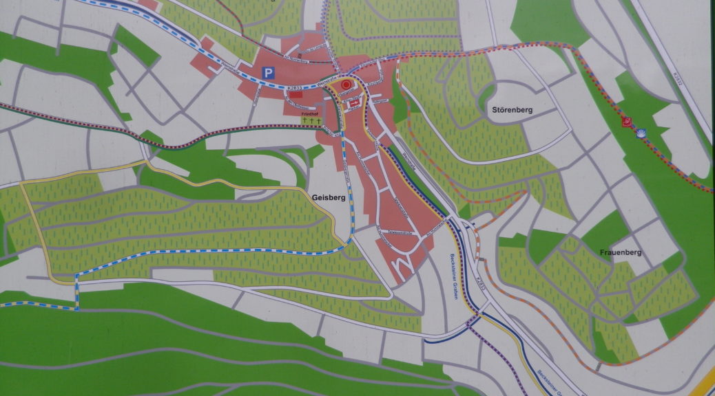
Baden’s Tauberfranken wine district is far to the north and east of most of the rest of the Baden region. It lies less than 20 miles (30 kilometers) southwest of Wuerzburg, in Franconia (Franken, in German). The town of Lauda-Koenigshofen, an important center in this district, is where the trail began. (Officially, it begins in the associated village of Beckstein, but parking was not as easy there.) Lauda-Koenigshofen lies on the west bank of the Tauber River, but in large part seems fairly divorced from the river. Skirting west of the old walled town center (well worth a quick visit), the trail avoided the river altogether and headed uphill into the vineyards.

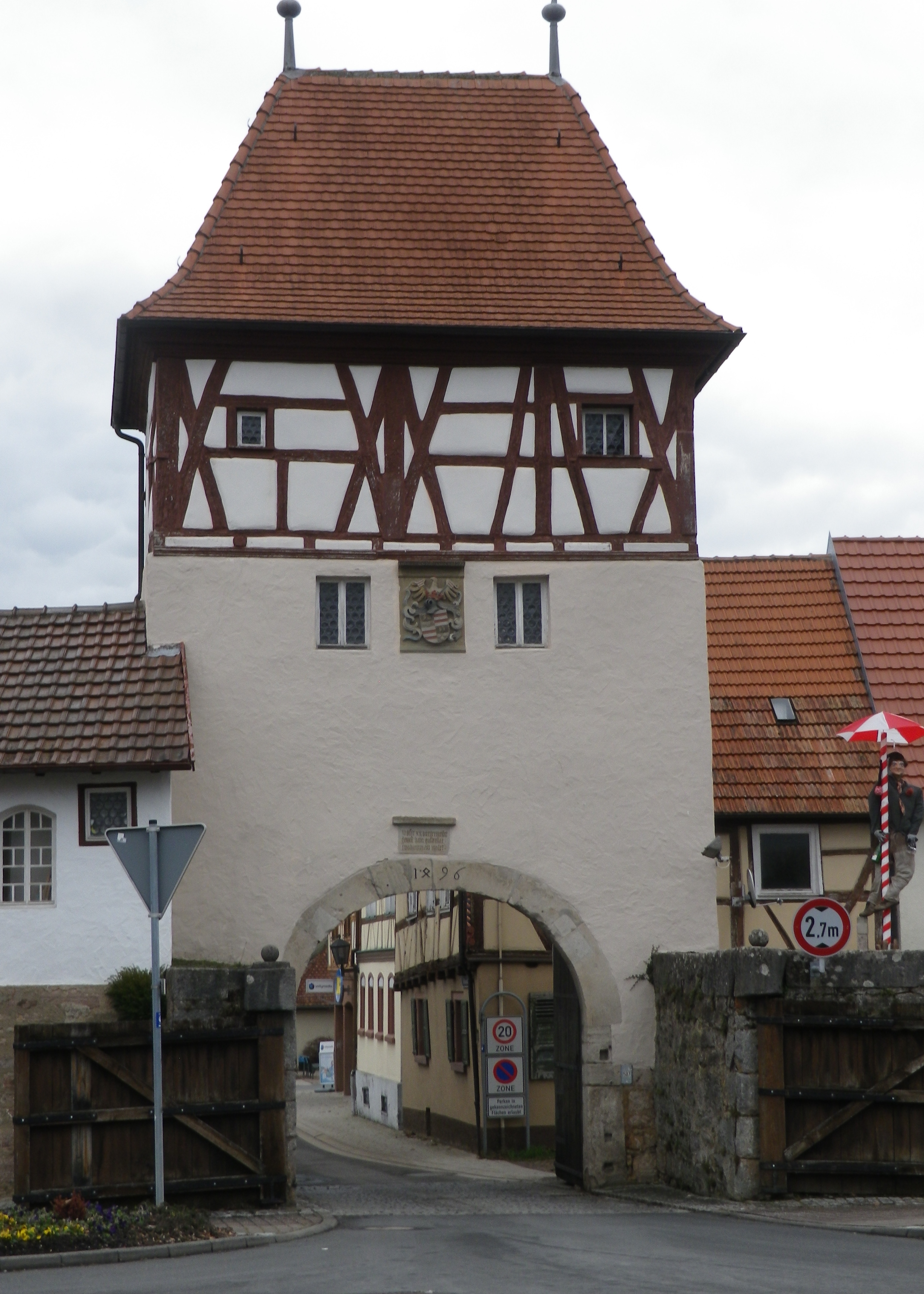
Gate in the Wall: Lauda-Koenigshofen

Continue reading Cold Winter Wandering

Wine Notes: Baden’s Tauberfranken


What I Learned  

A bit of the Baden wine region lies far north, with some of it in the German State of Bavaria! Baden’s Grosslage Tauberklinge extends north from around Assamstadt to the area around Homburg am Main. Much of this district lies along or quite near to the Tauber River. Other sectors lie in small valleys of minor Main River tributaries, or of tributaries to the Tauber River.

The Taubertal (Tauber (River) Valley) is a very diverse wine growing area. Following along the course of the river, upstream (south) to downstream (north), you find 3 regions (Franconia, Baden and Wuerttemberg) and 4 districts represented: Franconia’s Mainviereck District, Baden’s Tauberfranken District, Wuerttemberg’s Kocher-Jagst-Tauber District, and Franconia’s Maindreieck District. All this within about 120 miles of a fairly narrow river valley! The frequent district changes reflect the diverse soils and growing conditions in each region. Of course, these differences result in a variety of unique wines produced along the Tauber.

Continue reading Wine Notes: Baden’s Tauberfranken

Tauberschwarzweg: Trail in a Nutshell


Trail Name:  Tauberschwarzweg

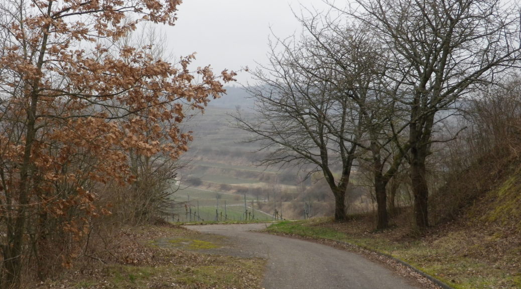
Trail Type: Mid-distance circuit trail; well-maintained and about half is paved, the other surfaces are grass and earthen; marking on the trail is somewhat good, but a map is strongly advised.

Length: circa13 kilometers/8 miles (See comments below)

Convenient to: Wertheim, or Wuerzburg, Germany

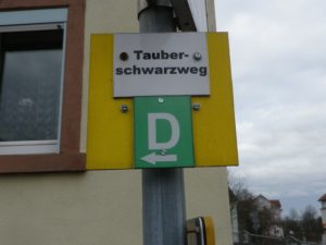
Marking: The capital letter “D”

Trail Signage: D for Tauberschwarzweg

Continue reading Tauberschwarzweg: Trail in a Nutshell

Warm Winter Wandering


Winter, Spring, Summer, Fall, a trail’s face changes with the seasons. While this is undoubtedly true for the Ihringer Winzerrunde West trail, even as I hiked it in early February, it seemed more a trail of the Spring, and for good reason: the Kaiserstuhl is consistently one of the warmest, if not the warmest area in Germany.

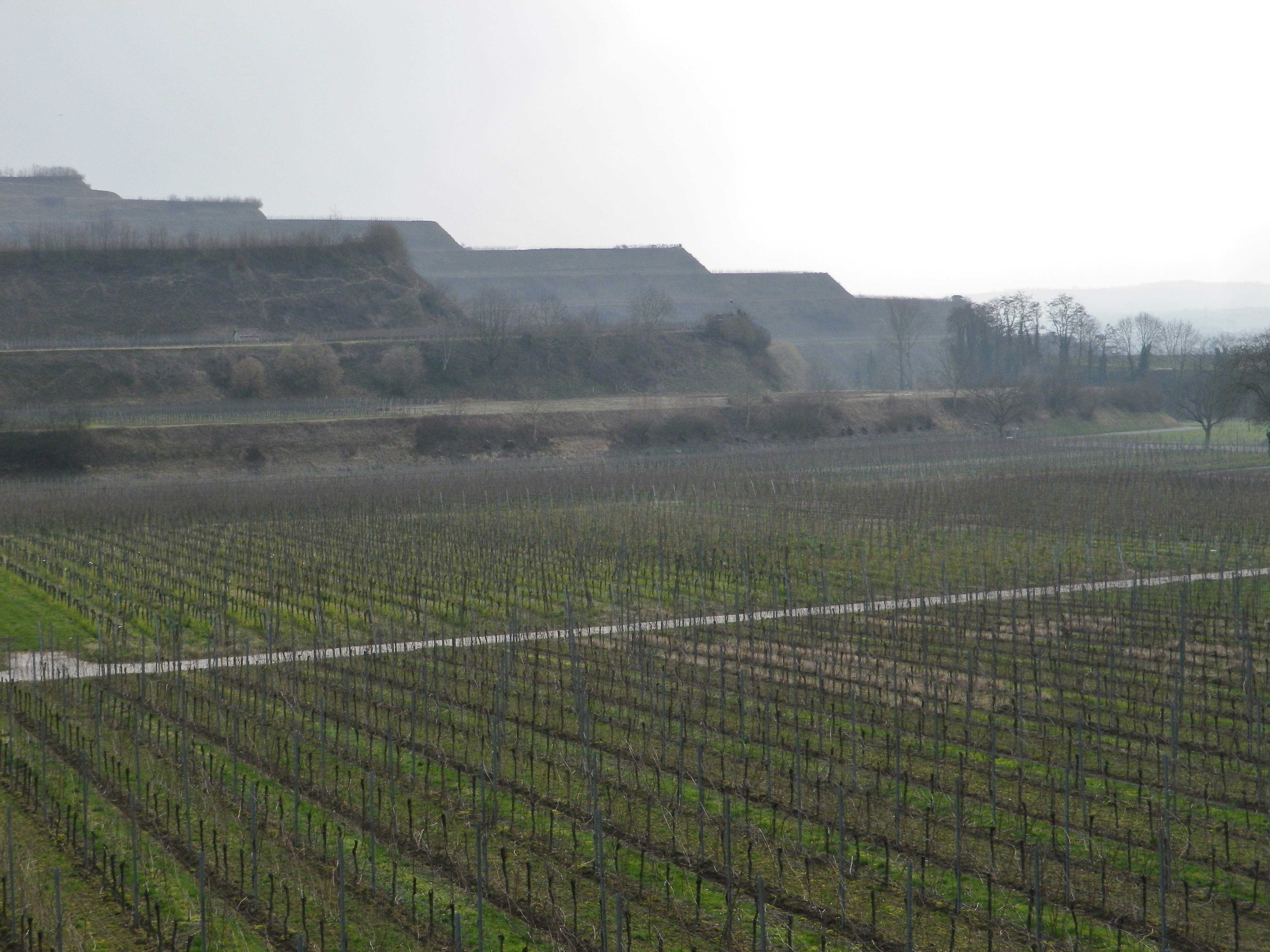
To be honest, I was not looking forward to seeing the trail’s winter face for a couple of reasons. First, the Ihringer Winzerrunde West trail has several inclines, as it passes through vineyards, which in addition to being sited on elevations formed by ancient lava flows,  also has an extensive system of terraces throughout the area.
Precision-Cut Terraces

Continue reading Warm Winter Wandering