Tag Archives: France/Burgundy,

A Godly Wine


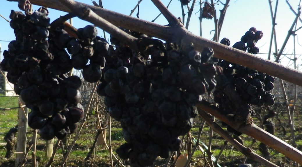
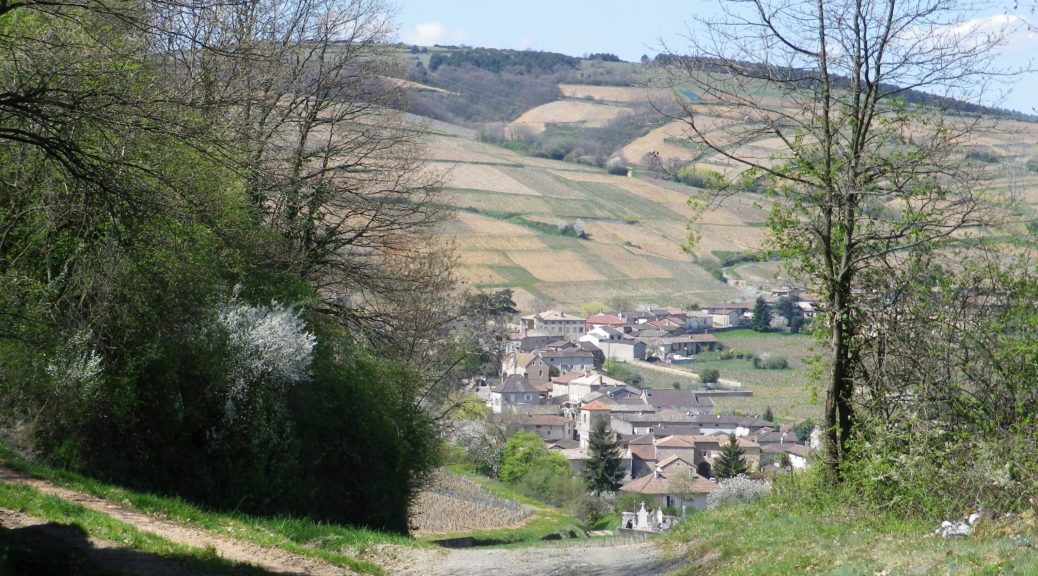
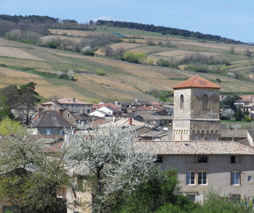
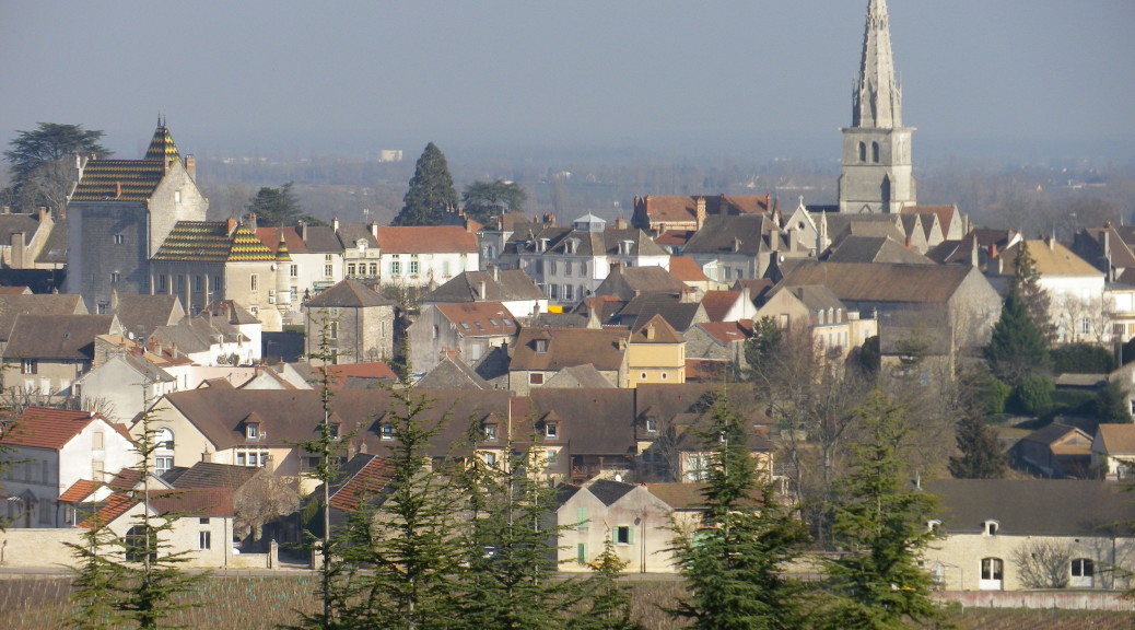
Mercurey, named after the Roman God Mercury, god of commerce trade and travelers, was a fortuitous discovery for this traveler of wine country. Both the village and the eponymous appellation lie in the Cote Chalonnaise sub-region of the Burgundy wine region. The village made its entry into history as a way-stop on the Roman trade route leading to Autun from Chalon-sur-Saone, graced by a small temple to the god of trade. Presumably, this route proceeded along the same straight trajectory as the modern road through the center of town, alongside a steam. But the village’s real piece of luck was to be set in natural amphitheater. While the road follows the stream in the bottom land, vines cover the slopes all around.
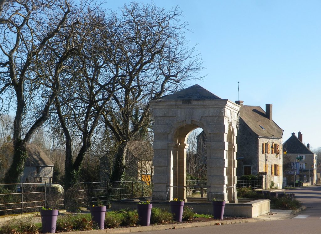
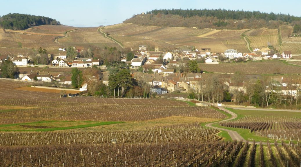
Grande Rue, Mercurey

Continue reading A Godly Wine

Wine Notes: Mercurey


What I Learned

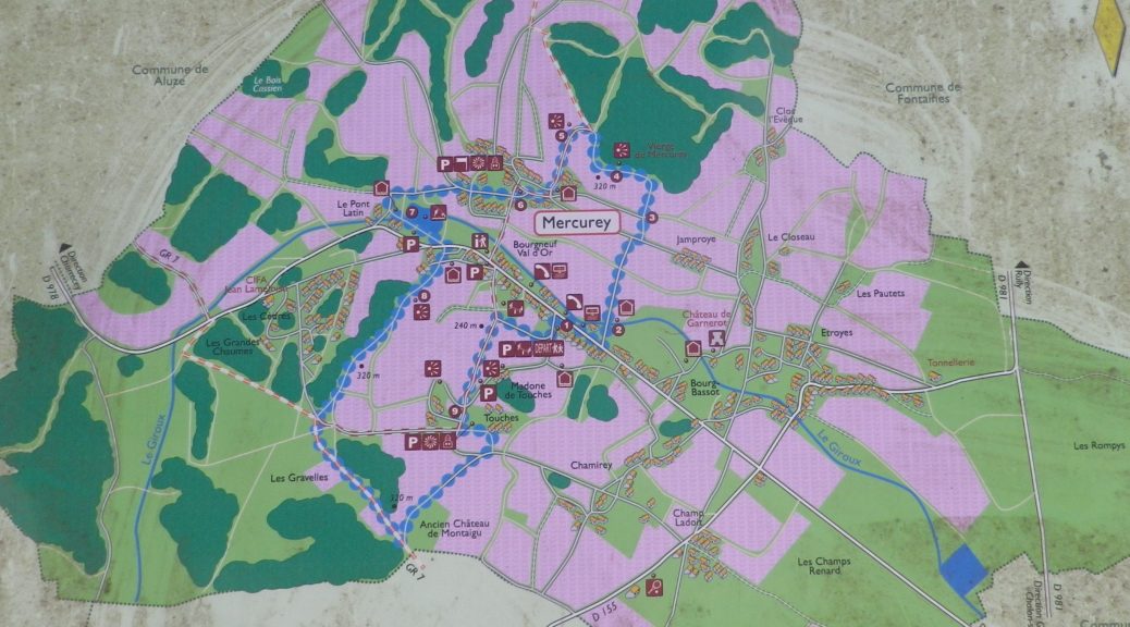
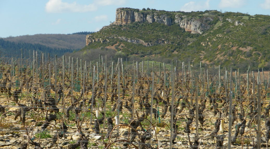
Mercurey is a small appellation in the Cote Chalonnaise wine sub-region of Burgundy. This appellation has about 800 hectares under vine, spread between the villages of Saint Martin sous Montaigu, and Mercurey, with its hamlets of Touches, Chamirey and Etroyes. A number of Premier Cru are found throughout this area. Viewing the area, one is struck by the number of clos – enclosed vineyards.

About 85 percent of total harvest comes from its famed Pinot Noir grapes, which do exceptionally well in its soils. A parcel entitled Les Ruelles is known in particular for its clay soil, almost blood red in color due to its high iron content, giving wines from this parcel distinct flavors. Total red wine production in this AOC is about 3.3 million bottles every year.

Continue reading Wine Notes: Mercurey

Mercurey: Trail in a Nutshell


Trail Name:  Mercurey; AKA: Circuit des Vignes (Circuit of the Vignes), Petite Boucle de Mercurey (Small Circuit of Mercurey), and M1 (on signs)

Trail Type: Short distance circuit through various landscapes, but half of it vineyards; fairly well-maintained with a variety of surfaces, including some naturally rough (rock) surfaces in places; some climbing; marking on the trail very good overall.

Length:

Total – 7.75 kilometers/4.8 miles

Convenient to: Chalon sur Saone, or Macon,  France

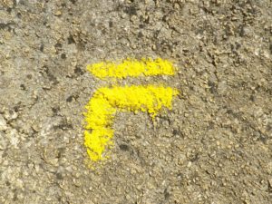
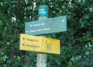
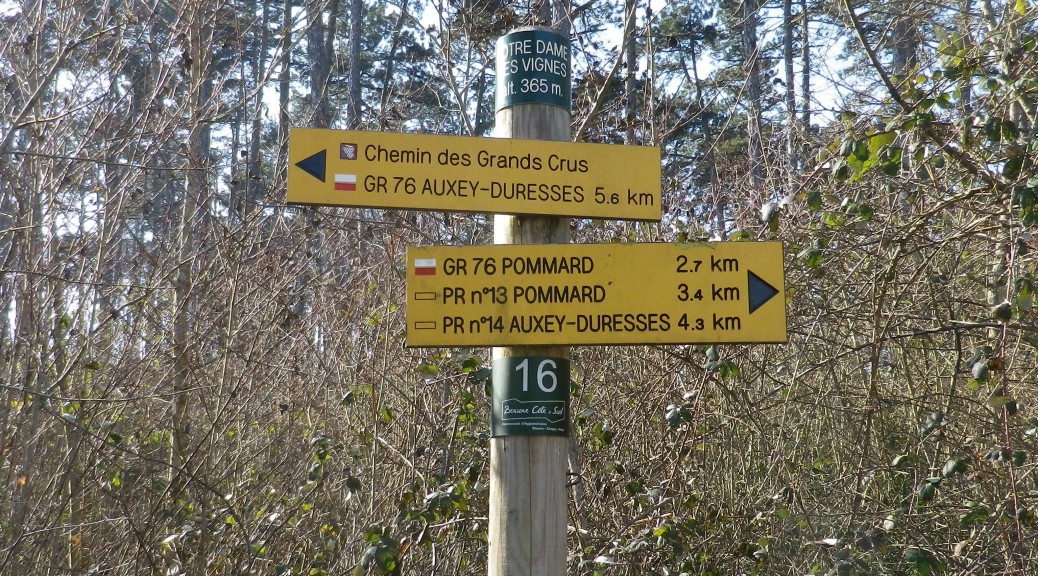
Marking: Yellow lines; as well as posts indicating positional and directional references

MI Signage


Location and Directions Post

Continue reading Mercurey: Trail in a Nutshell

A Tale of Two Pouillys II


One of my favorite white wines is Pouilly-Fuisse, one of France’s well-known appellations. It lies in Burgundy, not too far south from the famous Cote d’Or with its own many fine appellations. Early in my wine-drinking career, I often confused that wine name with Pouilly-Fume. Therefore, I decided to get a closer look, since visually, there would inevitably be cues to keep the two villages, and hence the two wines, apart in my mind.

The Pouilly-Fuisse hike I completed was just that – a walk between and around the tiny villages of Pouilly and Fuisse. The trail name said it all: Entre Pouilly et Fuisse (Between Pouilly and Fuisse), and it provided a great opportunity to see both villages up close.

Fuisse

Continue reading A Tale of Two Pouillys II

Wine Notes: Pouilly-Fuisse


What I Learned:

The Appellation Pouilly-Fuisse lies in the southern part of Burgundy’s Maconnais district, not too far from Lyon. It covers a small area: only Chaintre, Vergisson, Fuisse, Pouilly and Solutre, (known collectively as Solutre-Pouilly), totaling about 755 hectares (less than 1900 acres). This area was once under a vast sea, as is witnessed by the high concentration of limestone, made of trillions of trillions of tiny shells from ancient mollusks. Dropping down to the bottom of the sea, once the sea retreated, the shell mass solidified into calcareous limestone. This type of limestone can impart a fair degree of minerality to the wine.

Continue reading Wine Notes: Pouilly-Fuisse

Entre Pouilly et Fuisse: Trail in a Nutshell


Trail Name: Fuisse (FU), Subtitled: Entre Pouilly et Fuisse

Trail Type: Short distance circuit; partly paved, partly hard-packed path, some rocky sections, well maintained, but the route itself is fairly well-marked.

Length: 8 kilometers/5 miles

Convenient to: Macon or Lyon, France

Marking: Posts with yellow signs indicating location, directions and distances; yellow (usually painted bars) on trail route will indicate that you are still on a trail, and your next change of direction (left or right)

Trail Marker Indicating Location, Direction and Distances

Continue reading Entre Pouilly et Fuisse: Trail in a Nutshell

Meursault: A Study in Chardonnay


My last trip to Burgundy’s Cote d’Or region focused on the northern part, the Cote de Nuits, and its red wines; therefore, I devoted this trip to the southern part, the Cote de Beaune, and its delicious white wines.

Meursault is a small town that has given its name to some of the best known Burgundy white wines in the world. Its wine makers produce Chardonnay exclusively. To gain familiarity with its Chardonnay terrain, I chose one of 16 trails in the area, the one that took me through Meursault, its vineyards, and nearby villages.

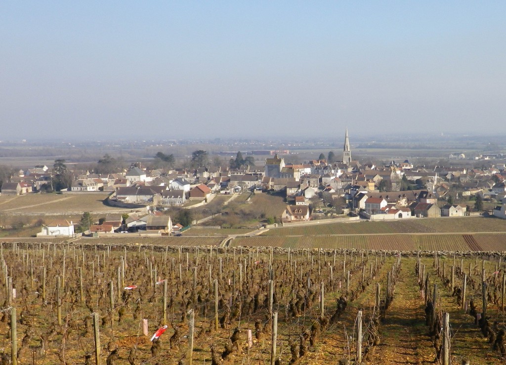
Meursault and its Vineyards

Continue reading Meursault: A Study in Chardonnay

Wine Notes: Meursault


What I Learned:

This post is about Chardonnay, the grape and the wine, and its unique expression in the area around Meursault, in the heart of white Burgundy wine country.

Chardonnay is an adaptable grape. It tolerates a diverse range of soils, and climates. Consider its range: from Washington State to China, and below the equator too, from South Africa to Chile and then Australia. Within Europe, a key northern location is in the cool, rainy Champagne region, where it usually comprises part of a champagne blend, whereas a major southern Chardonnay viticulture center is in hot, dry southern Sicily.

Continue reading Wine Notes: Meursault

Meursault: Trail in a Nutshell


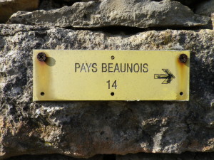
Trail Name: Promenade en Pays Beaunois Circuit 14, Monthelie; aka Sentier des Buis. (“PR n 14” is seen also on signs)

Trail Type: mid-distance circuit; surfaces vary from asphalt, to hard-packed earth, to rough trails; the route is fairly well-marked, but a map is definitely handy.

Length: total: 12 kilometers/7.5 miles

Convenient to: Beaune, France

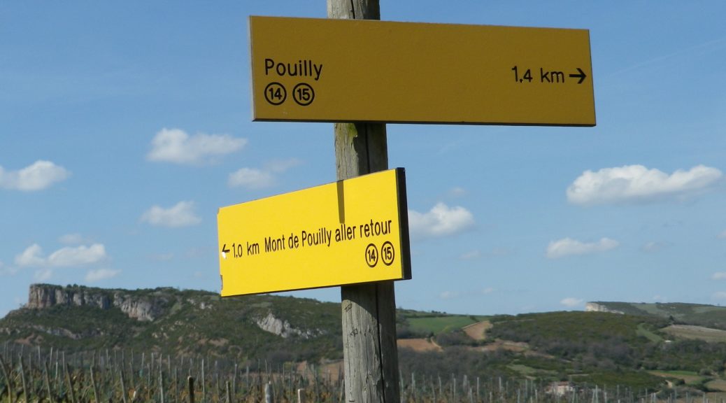
Marking: Small yellow rectangular signs “Pays Beaunois 14”, then painted rectangles or arrows (on a variety of surfaces (rocks, trees, posts) indicating the direction to follow. Signs, as in the featured image above, also indicate a specific location and direction to continue.

Pays Beaunois Circuit 14 Sign

Continue reading Meursault: Trail in a Nutshell