Tag Archives: France,
Bubbles!
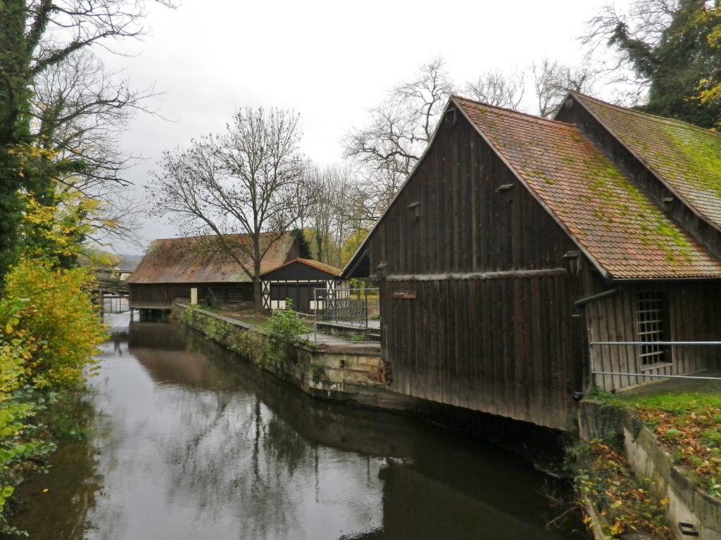
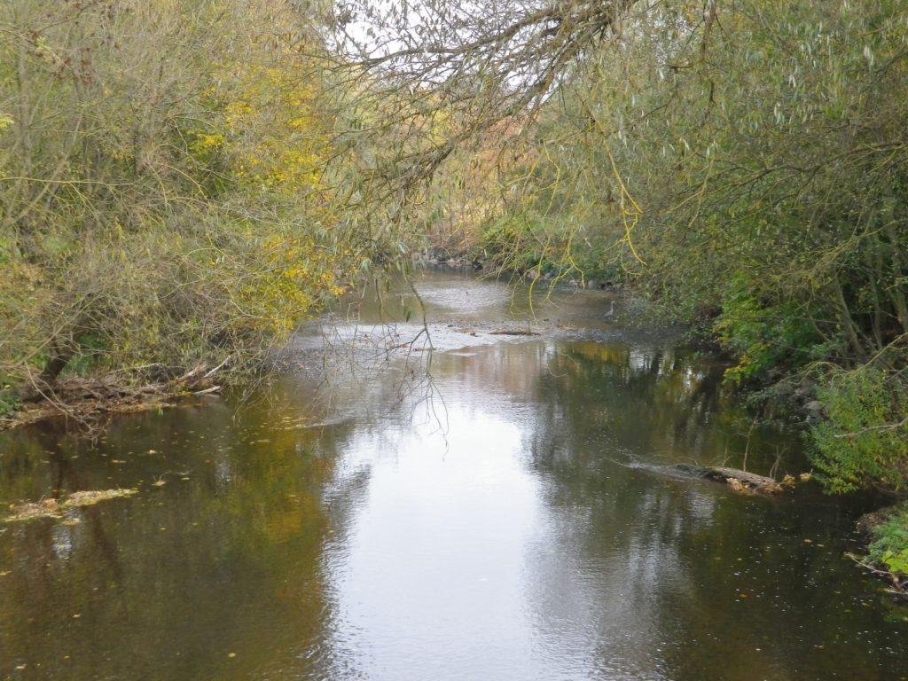
The Alsatians call their sparkling wines Cremant. But these were not the only bubbles (“bulles”) that I found along this “Bulles et Bugatti” cycling itinerary. There were wineries and taverns offering the Cremant of Alsace, of course. But equally enjoyable were the bubbling creeks along much of the way, from the Dachsteinerbach, the Bruche and its canal, the Mossig, Frankenbach and Kehlbach, finally, the Stillbach, (it wasn’t), a melodious stream bubbling its way to the Bruche.
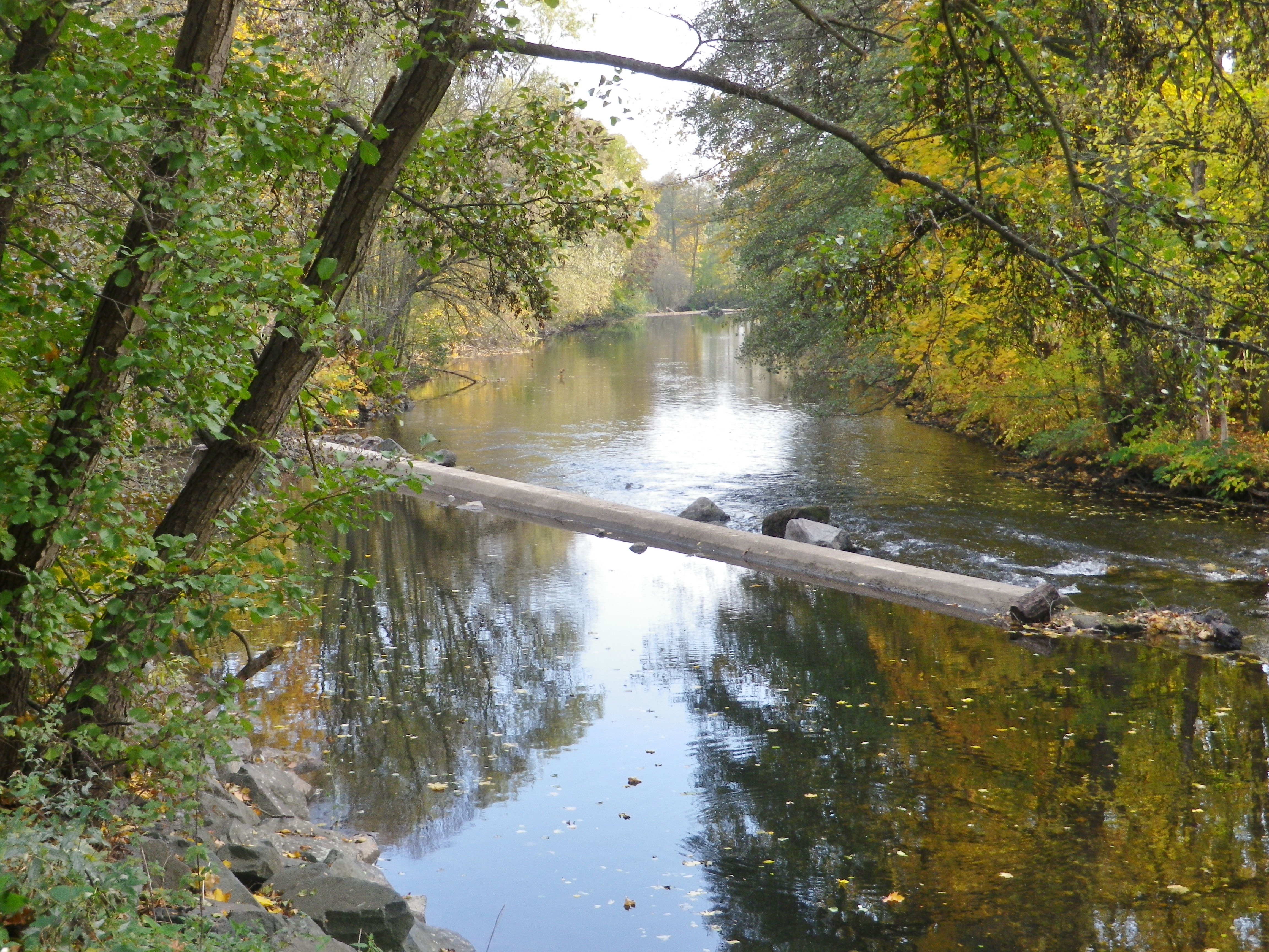
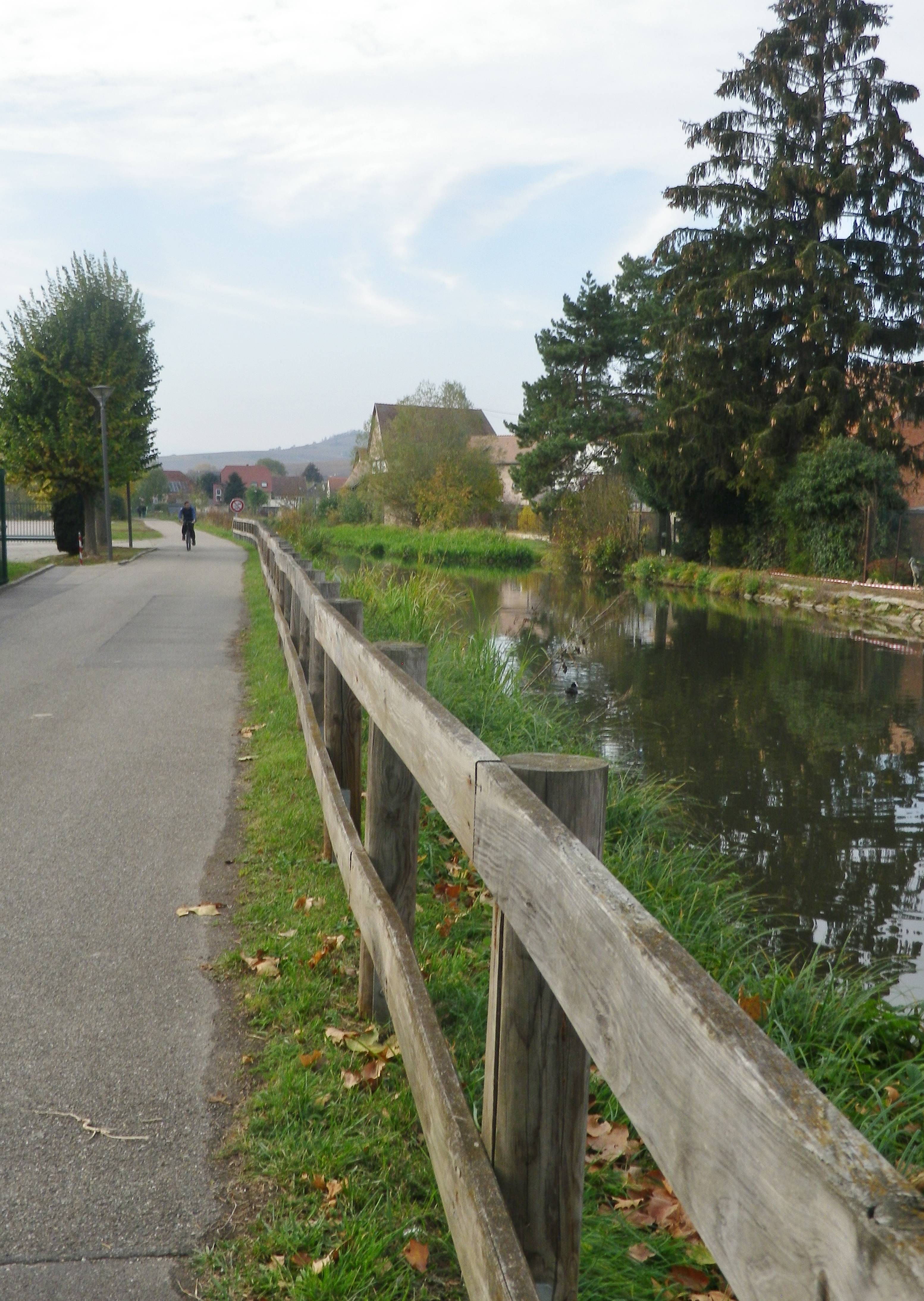
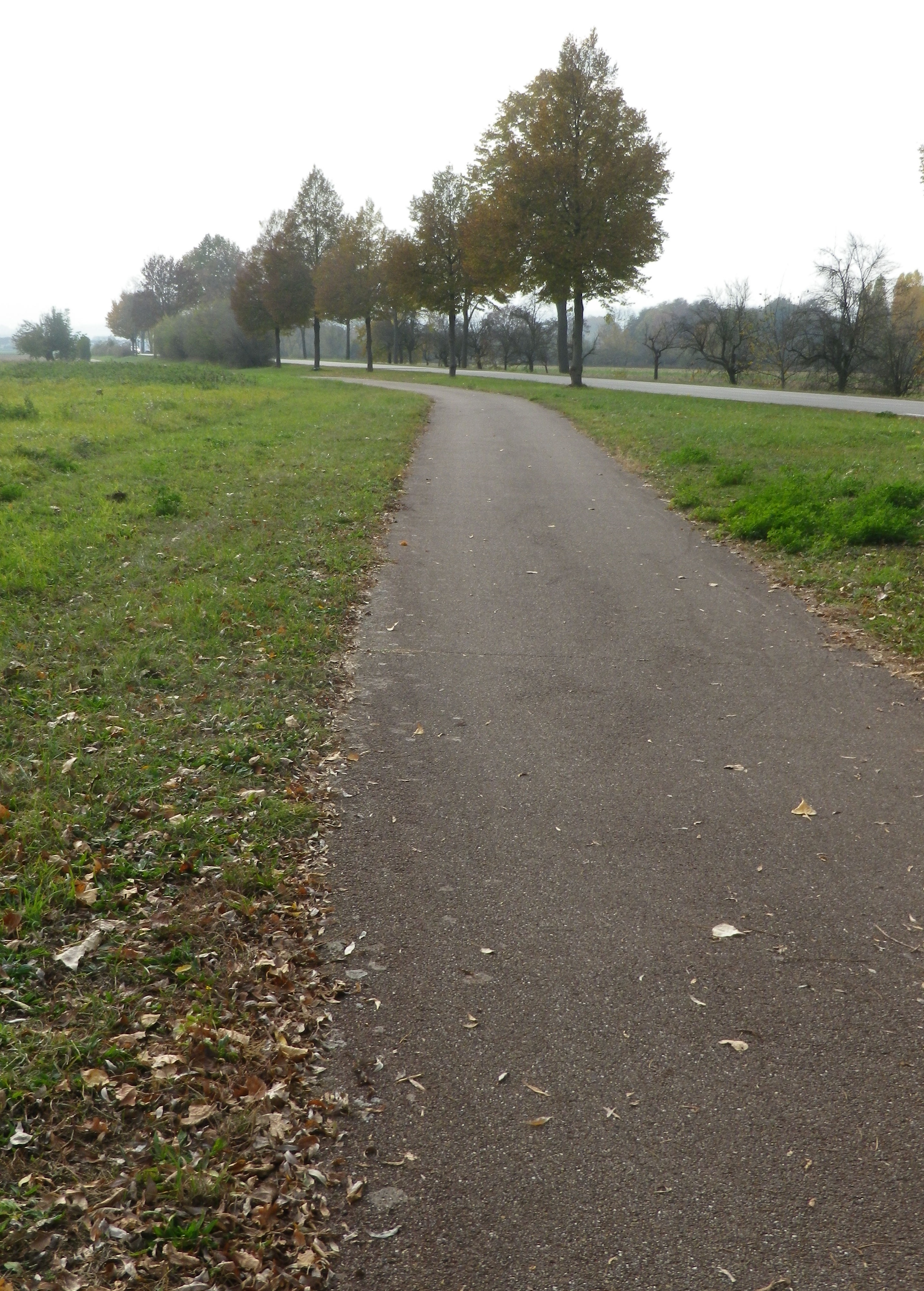
The Bruche empties into the Ill, a tributary to the Rhine, by Strasbourg. Starting in the Vosges mountains, it ultimately flows by the vineyards in the foothills of the Vosges, before entering the flat fields surrounding Strasbourg. This geography lesson just to let you know that the itinerary did have some hills, but also some very flat stretches. Especially memorable for its peaceful, rural aspect was the section riding along the Bruche Canal, a paved and beautifully maintained bike path. It is even possible to follow this trail all the way to the heart of Strasbourg!
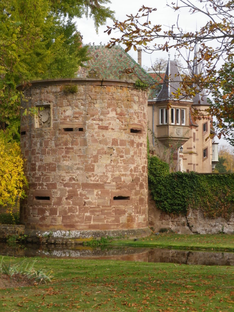
But this itinerary also included the hills and dales in the heart of the Bas Rhin vineyards. Departing Molsheim, and passing Dachstein, a medieval walled and effectively moated village, the ride proceeds mostly on a flat bike path, which is a delight, to the canal. The hills begin where the canal ends, at Soulz-les Bains.
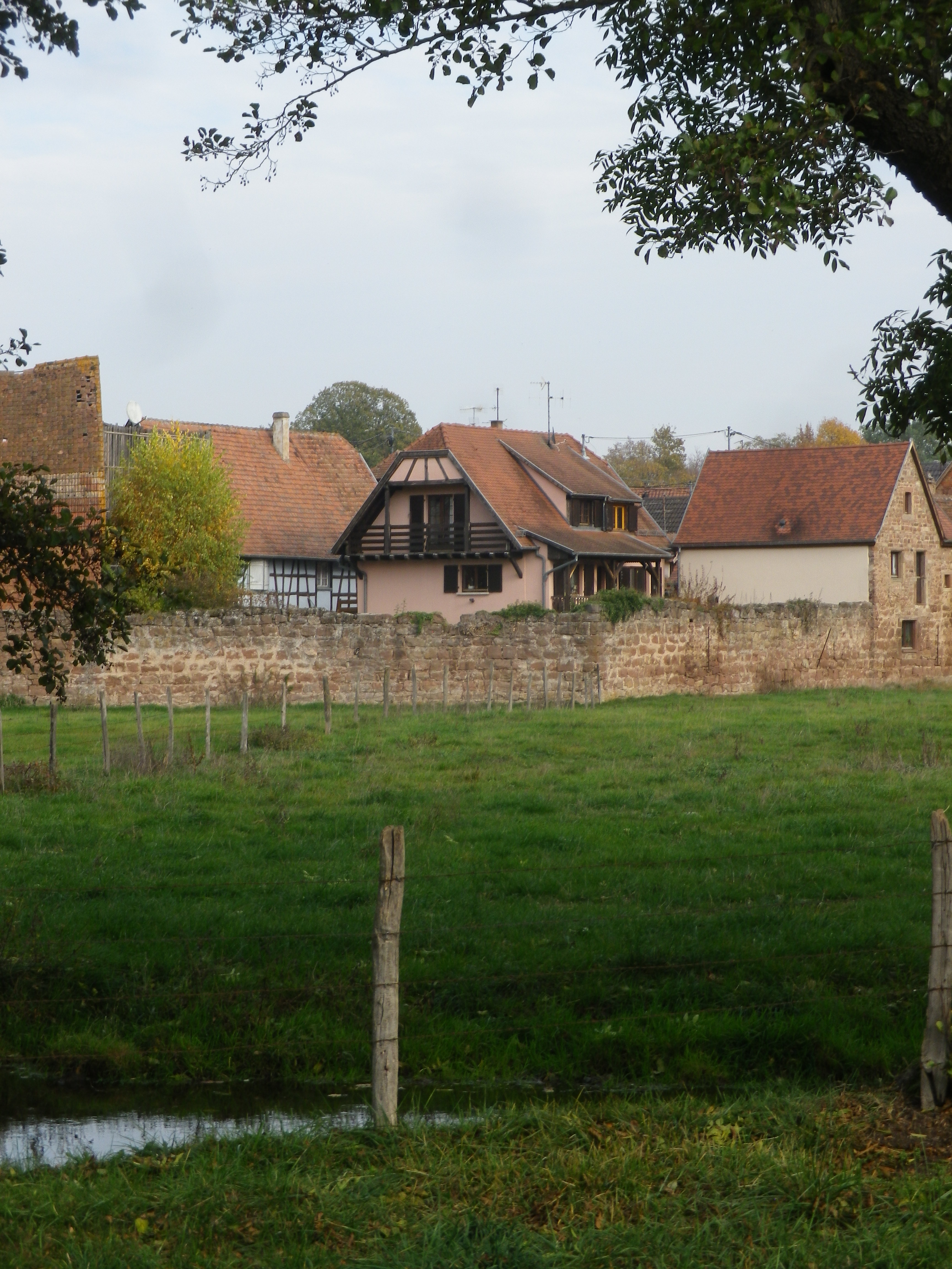
As the name implies, there is a spa in Soulz, a small village with a wonderful bakery, and Lucien Doriath’s excellent restaurant dedicated to foie gras. (Don’t worry, you can work it all off while on the numerous hiking and cycling trails passing through the village.) In addition to the Bruche and its canal, the Mossig also runs through this area. In fact, this whole itinerary sits in a watershed, and water is impossible to avoid.
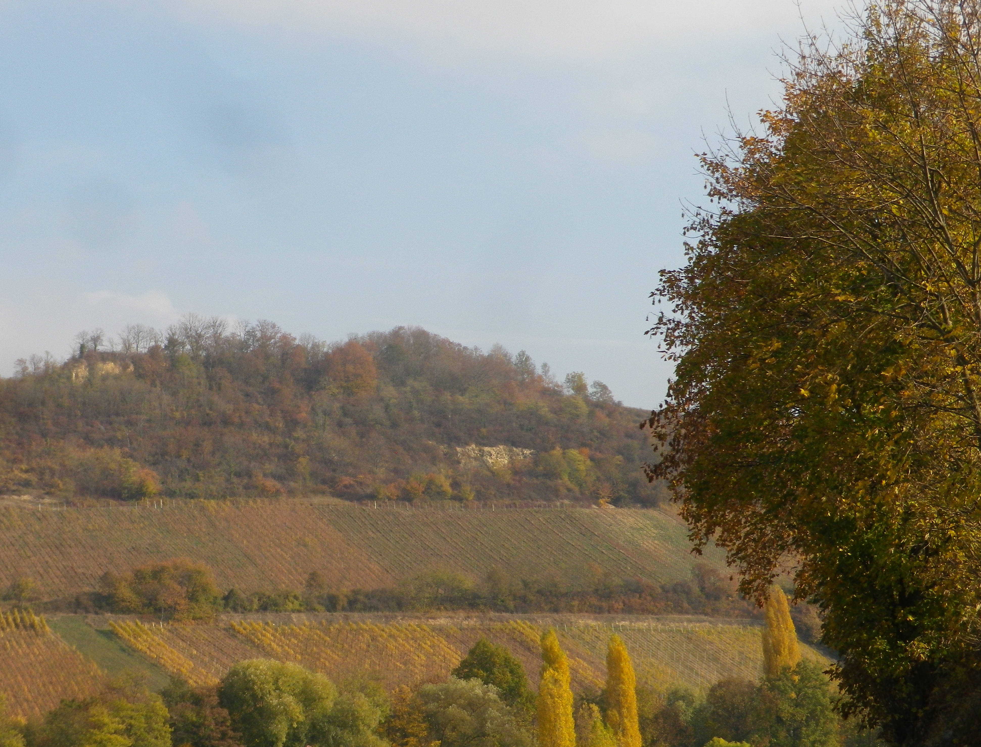
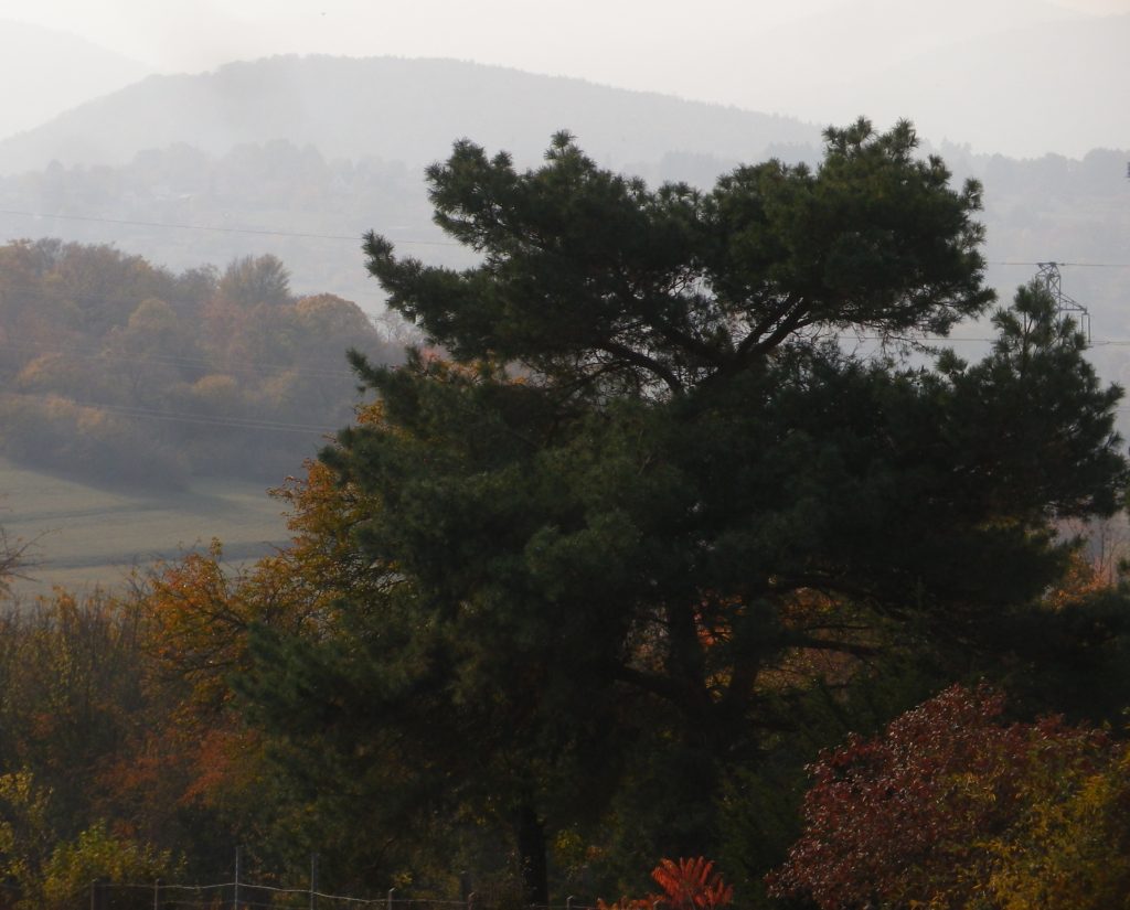
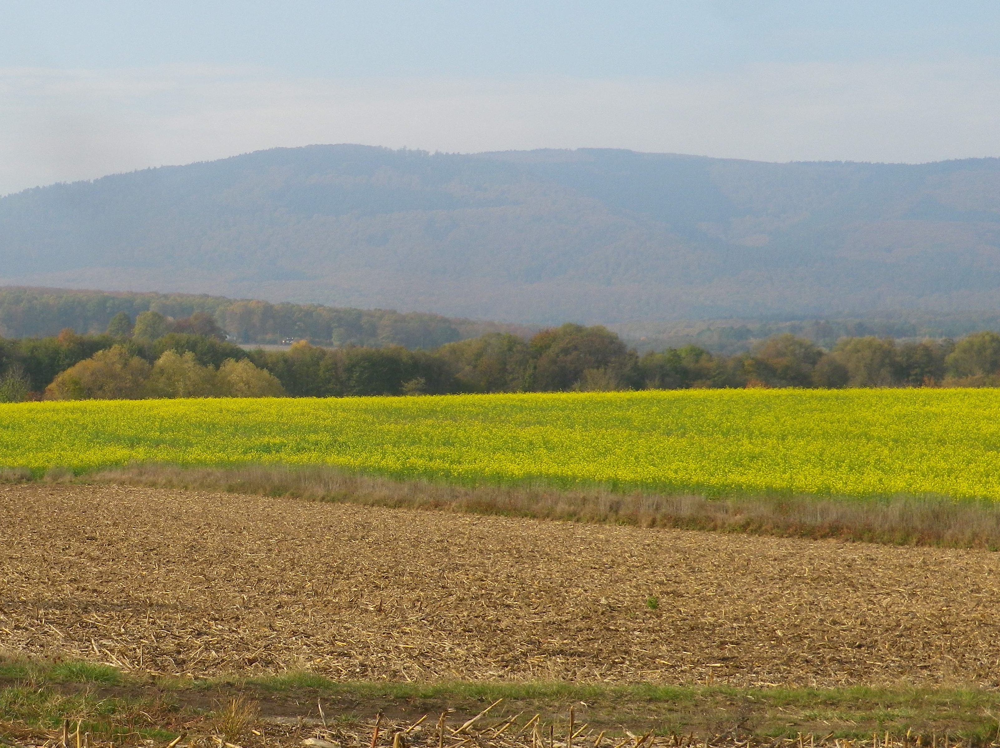
From Soulz, the itinerary climbs. As it does, vineyards replace fields, and the wine village of Bergbieten with its Grand Cru vineyard appears. Balbronn, another well-known wine village, is picturesquely surrounded by vineyards. Between there and Flexbourg, the higher elevations of the Vosges mountains come into view providing magnificent photo opportunities.
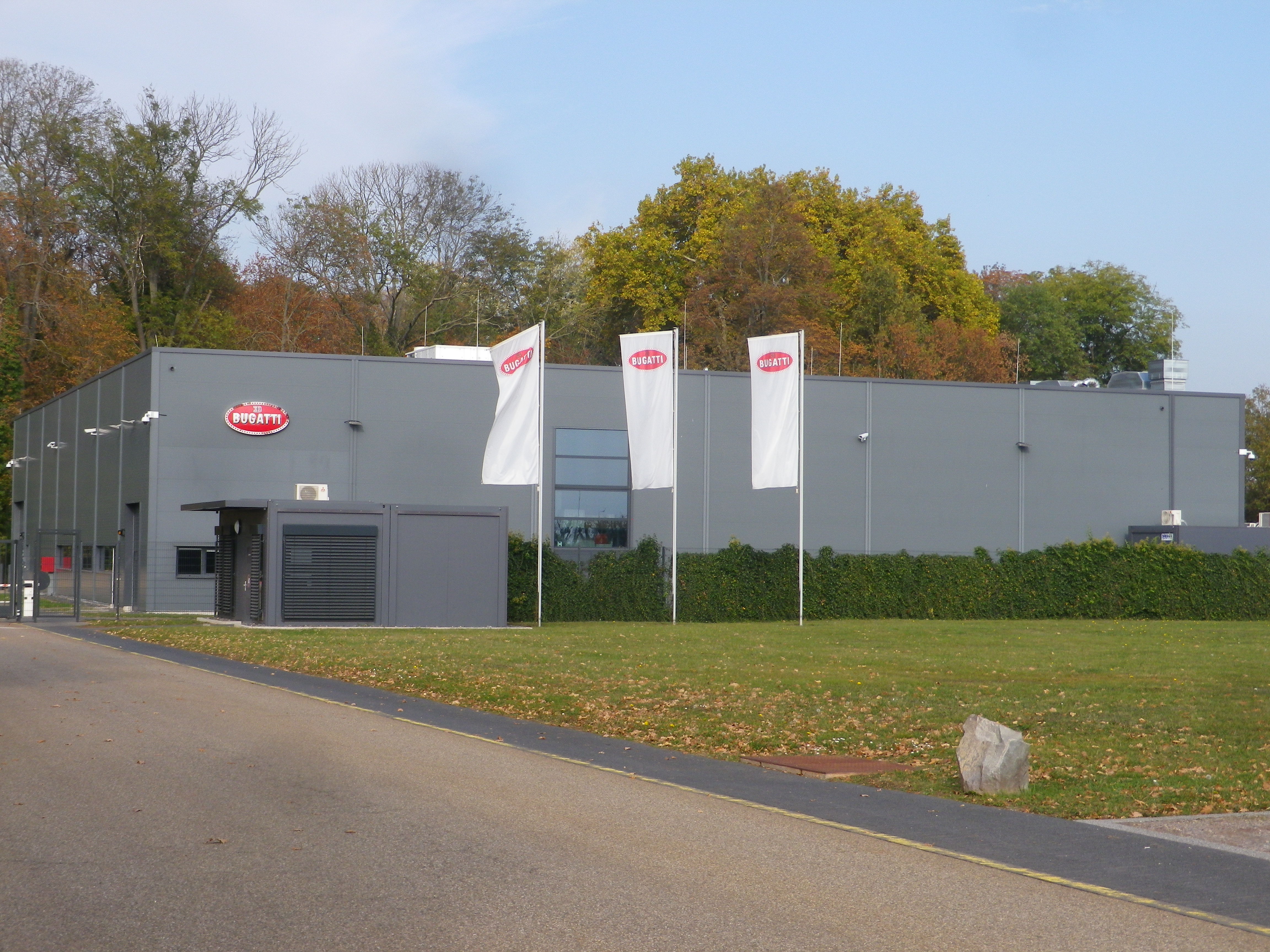
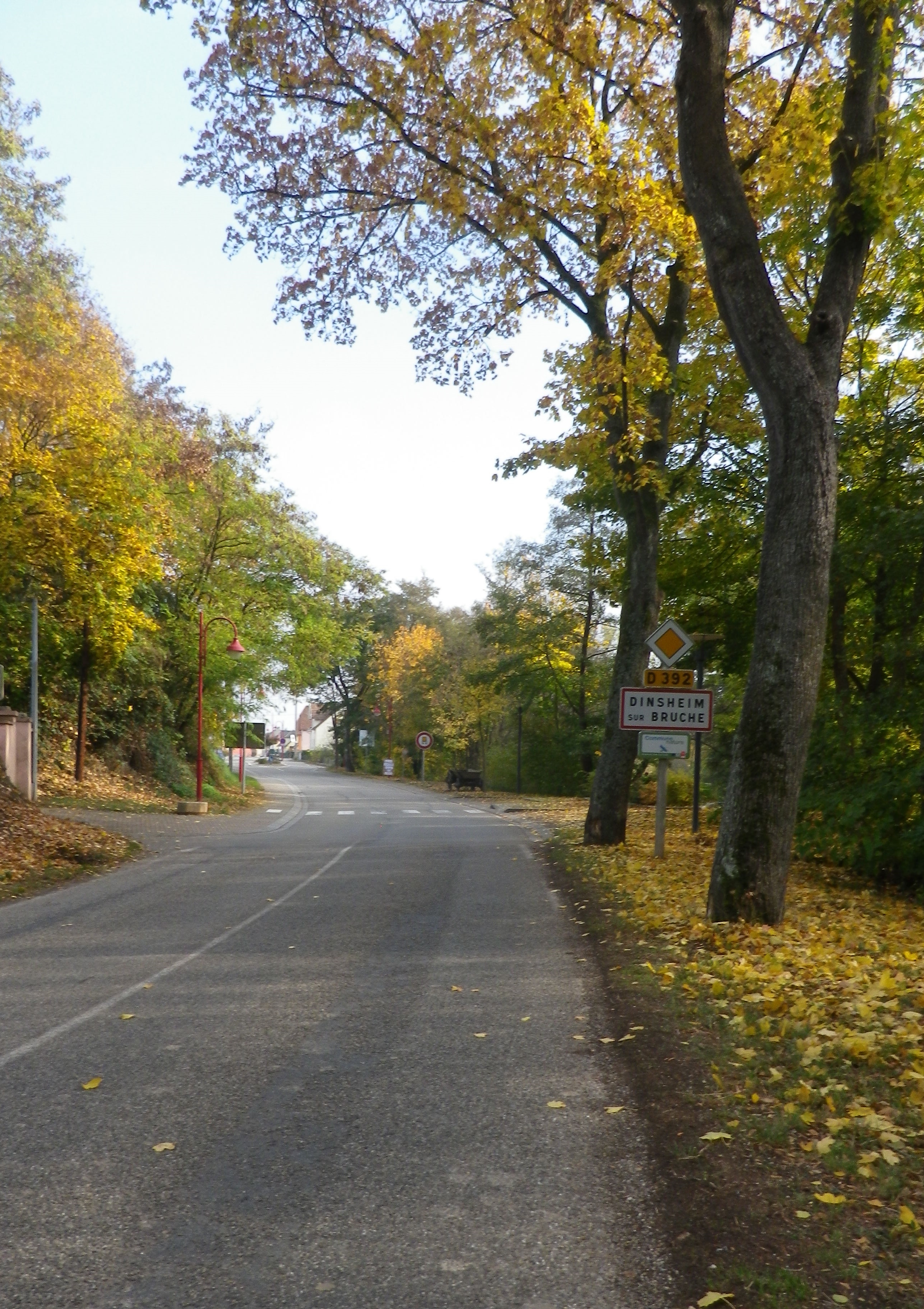
Once out of the hills, more rivers and streams appear. A marvelous confluence of several of these appear on the approach to Dinsheim sur Bruche. I cycled along the Stillbach, to where it joins the Bruche, then over the Muhlbach to cross the Bruche once again just before re-entering Molsheim. On the outskirts is the Bugatti factory. Bugatti was founded in Molsheim, and it still produces fantastic cars of distinction there. I must confess though, I saw few cars, much less Bugatti ones (the least expensive model starts at over two million dollars), while cycling, making this a relatively car free itinerary overall.
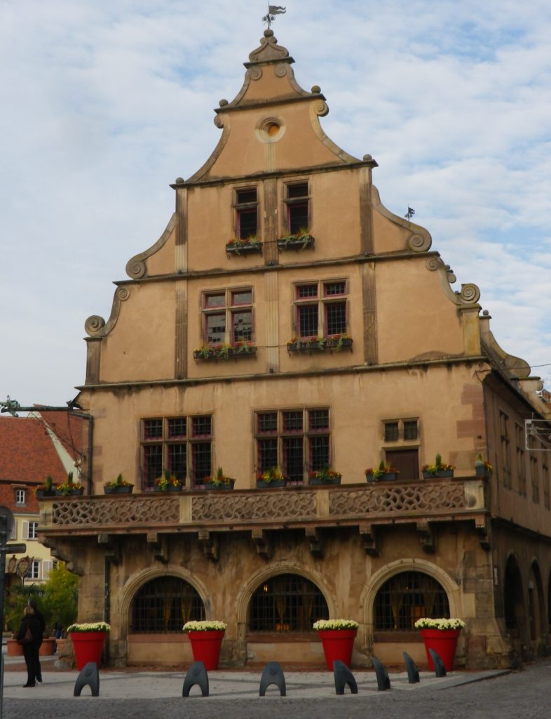
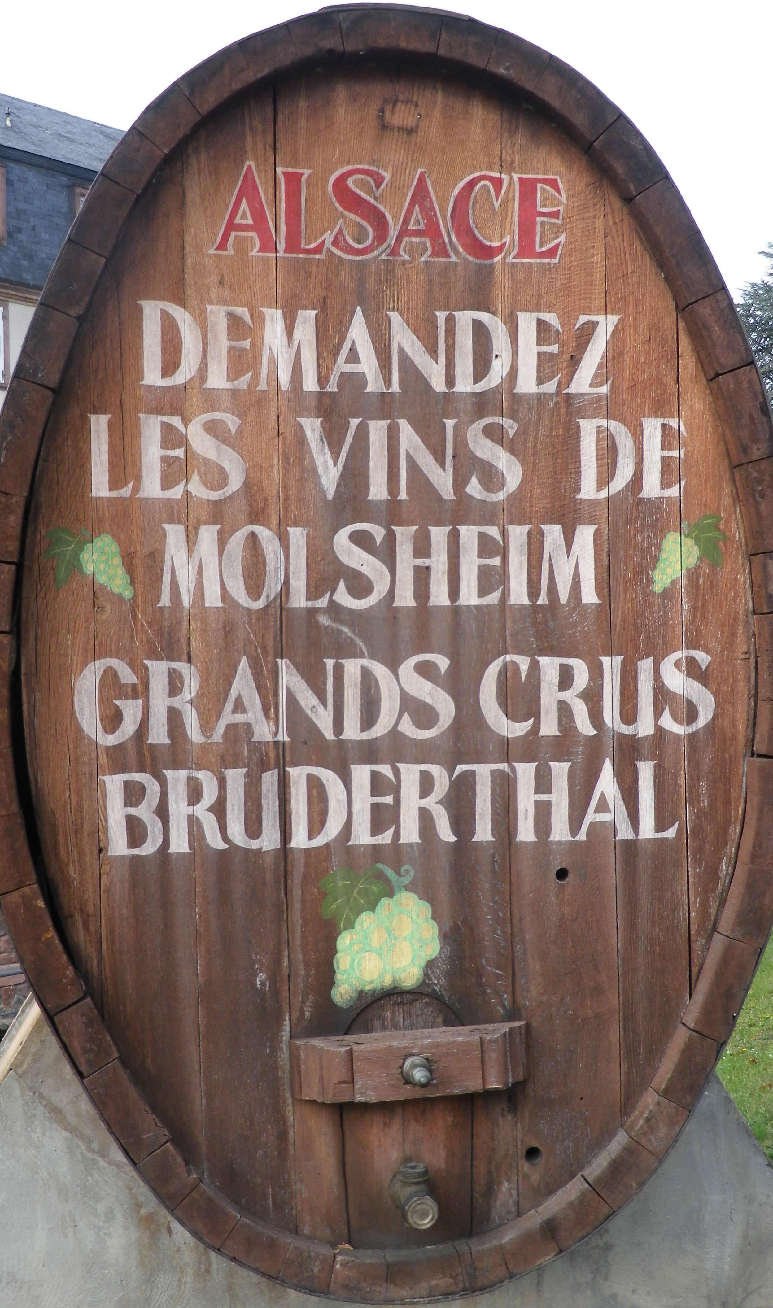
Molsheim is a small town, but the largest in this area. It is known to the wine world as the site of the Grand Cru Bruderthal, a “production” site as much esteemed locally as the Bugatti plant. The town itself boasts a couple of charming squares, fronted by historic and attractive half-timbered buildings. It is a nice place to base, if spending some time in the area. It has several restaurants serving good food and local wines, as well as a couple of wineries. Fortunately, all food and wine offerings, even the Cremant d’Alsace wines, cost only miniscule fractions of the cost of a Bugatti, hence may be happily enjoyed by all!
Bulles et Bugatti: Trail in a Nutshell
Trail Name: Bulles et Bugatti; AKA BL 312
Trail Type: A mid-distance circuit bicycle itinerary; well-maintained surfaces, much of it paved, however no trail specific marking throughout the itinerary.
Length:
Total – 33 kilometers/ 20.5 miles
Convenient to: Molsheim, Strasbourg, Bas Rhin, Alsace, France
Marking: None specific to the itinerary. Some sections do have the typical green and white cyclist markings for a bicycle path to serve as a guide.
Trail Description: A well thought out itinerary through mostly rural landscapes with a variety of flat and hilly sections, vineyard, field and urban terrain, some on minimally trafficked road sectors, and some on fairly long stretches of vehicle-free bicycle path or dedicated bicycle lane.
Trailhead: Molsheim, Rue de Strasbourg, Porte des Forgerons
Parking:
Molsheim: R de la Commanderie x R Ernest Friedrich (closest to trailhead); Rue des Sports, by the open-air pool
Dorlisheim: Chemin des Moissons, Rue Mercure, north and south, in a mall area
Mutzig: Place de la Gare, Rue du Dr Schweitzer,
Balbronn: R du Fronhof (at the upper/higher end)
Public Transportation Options:
Rail: Frequent regional trains (TER) connect Strasbourg and Molsheim
Bus: Numbers 234 and 236 connect Molsheim with surrounding villages
See the comment below
Suggested Stages: Not applicable
Trail Itinerary-Reference Points: (Counterclockwise)
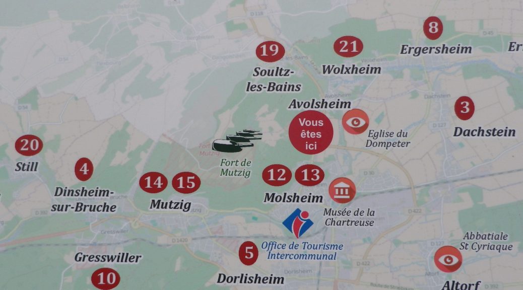
Molsheim: R. de Strasbourg x Avenue de la Gare, R. Charles Mistler, past Camping Municipal, over Bruche, along D93/D30; Dachstein: D30; Egerstein: Along Canal de la Bruche to Wolxheim; Wolxheim : R de Molsheim; Avolsheim: cycle path to Grotte d’Avolsheim, R. du Dompeter, R. de la Gare, Impasse de la Roseliere, cycle path; Soultz les Bains: R. de Molsheim/D422, D275: Dangolsheim: D275/Rte du Vin (past the Lavoir, or laundry basin); Bergbieten: D275/Rue des Vosges; Balbronn: D275/R. du Château, R. de la Foret, Rte de Flexbourg; Flexbourg: Rte de Flexbourg-R. des Acacias, R. de la Paix, R. des Seigneurs/D118; Still: D118/Rte de Flexbourg, Grande Rue; Dinsheim: D118, D392/ R. du General De Gaulle, past the Chapel of St Wendelin; Mutzig: Blvd Clemenceau; cross the Bruche, still on D392, past the Gare de Mutzig, Rte de Strasbourg; Faubourg des Vosges; Dorlisheim: Grand Rue, Avenue de la Gare/D392; Molsheim: D392; Altdorf: Chemin de la Blieth, R. des Romains, R. des Pres, R. Principale; Molsheim: R. Jean Mermoz, cycle path paralleling Rte Ecospace, D2422/R. de la Commanderie, past the Gare de Molsheim
Representative Trail Photos:
Restrooms:
Molsheim: Passage de la Post x Avenue de la Gare, about 50 meters west of the chapel in the parking lot by the old town gate “Tour des Forgerons”
Attractions on or near Trail:
Molsheim: Musee de la Chartreuse, focuses on millennia of history and traditions of the Bruche Valley, while another section covers the history of Bugatti (the other half of the name of this route), its cars and its connection to Molsheim.
Tasting along the Trail:
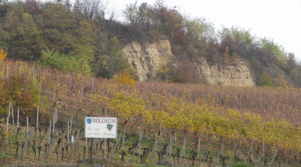
Wolxheim, Avolsheim, Soulz-les-Bains, Balbronn and Bergbieten are well-known wine villages with several wineries in each. Additionally, Molsheim is the largest town in the area, with several taverns and restaurants serving local wines.
Alternative Options:
Hiking: The circuit hike called Trotele, one of the Circuits of Bacchus, is a 13.6 kilometers hike through several of the same villages. See the Nutshell here.
Biking: The long distance Veloroute du Vignoble d’Alsace begins about 15 miles north in Marlenheim, and passes through Soulz-les-Bains, Molsheim and Dorlisheim, then proceeds south through other villages and towns in the Bas Rhin department. See the Nutshell here.
Additional Information:
Regional: http://www.ot-molsheim-mutzig.com/
Trail specific: https://www.alsaceavelo.fr/itineraires/boucles-locales/bl312-bulles-et-bugatti-118.html
Comments:
Although the bus and train network is good here, the 20.75 kilometer cycling path Veloroute du Canal de la Bruche (https://www.alsaceavelo.fr/itineraires/veloroutes-des-canaux-et-vignoble/veloroute-du-canal-de-la-bruche-23.html) is a fantastic and easy way for visitors in nearby downtown Strasbourg to reach this particular itinerary and this little visited vineyard area.
Gallery September 2020
The Cradle of Viognier
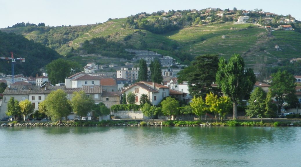
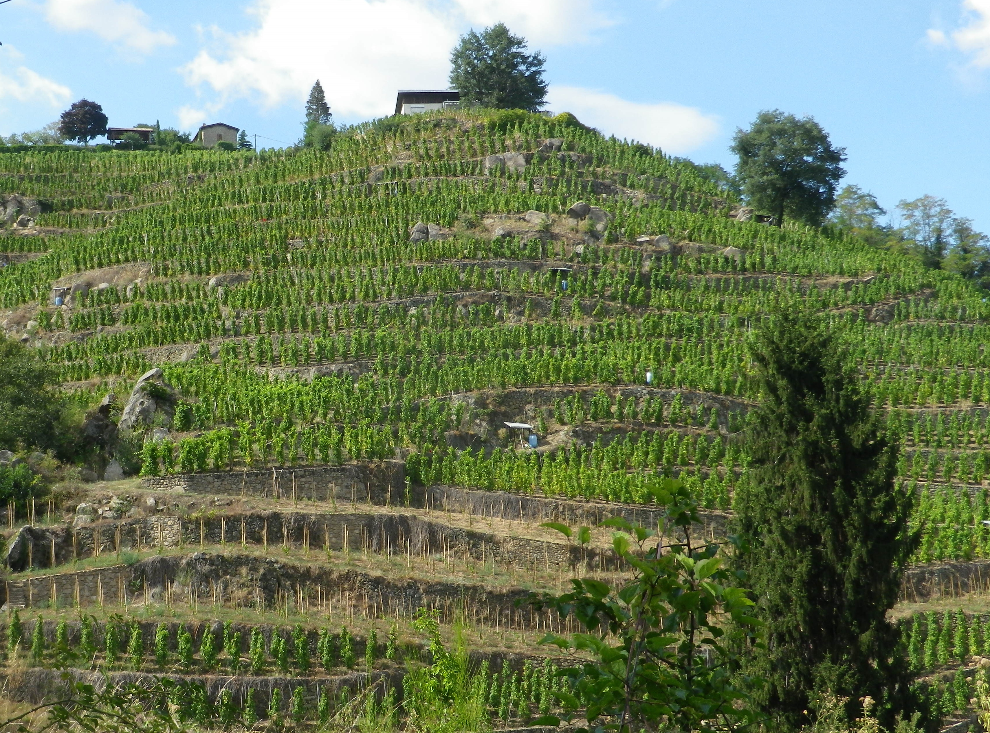
Condrieu, the cradle of Viognier, is a small town, as well as the name of an appellation devoted to Viognier. While the appellation stretches about 8 miles/12.5 kilometers south of Condrieu, I found a wine-themed hike through the villages of Verin and Saint Michel sur Rhone, circling Chateau Grillet, one of France’s smallest appellations (a bit over 8.5 acres), likewise devoted exclusively to Viognier.
Like these two appellations, the one nested completely within the other, the hike itself was small. (One map said six, another said seven kilometers.) Still, I considered myself fortunate to have found it, and to have hiked it, as Viognier is one of my favorite wines, and the opportunity to see the homeland of this varietal, to hike the hills where it is still grown after all these centuries, was fantastic.
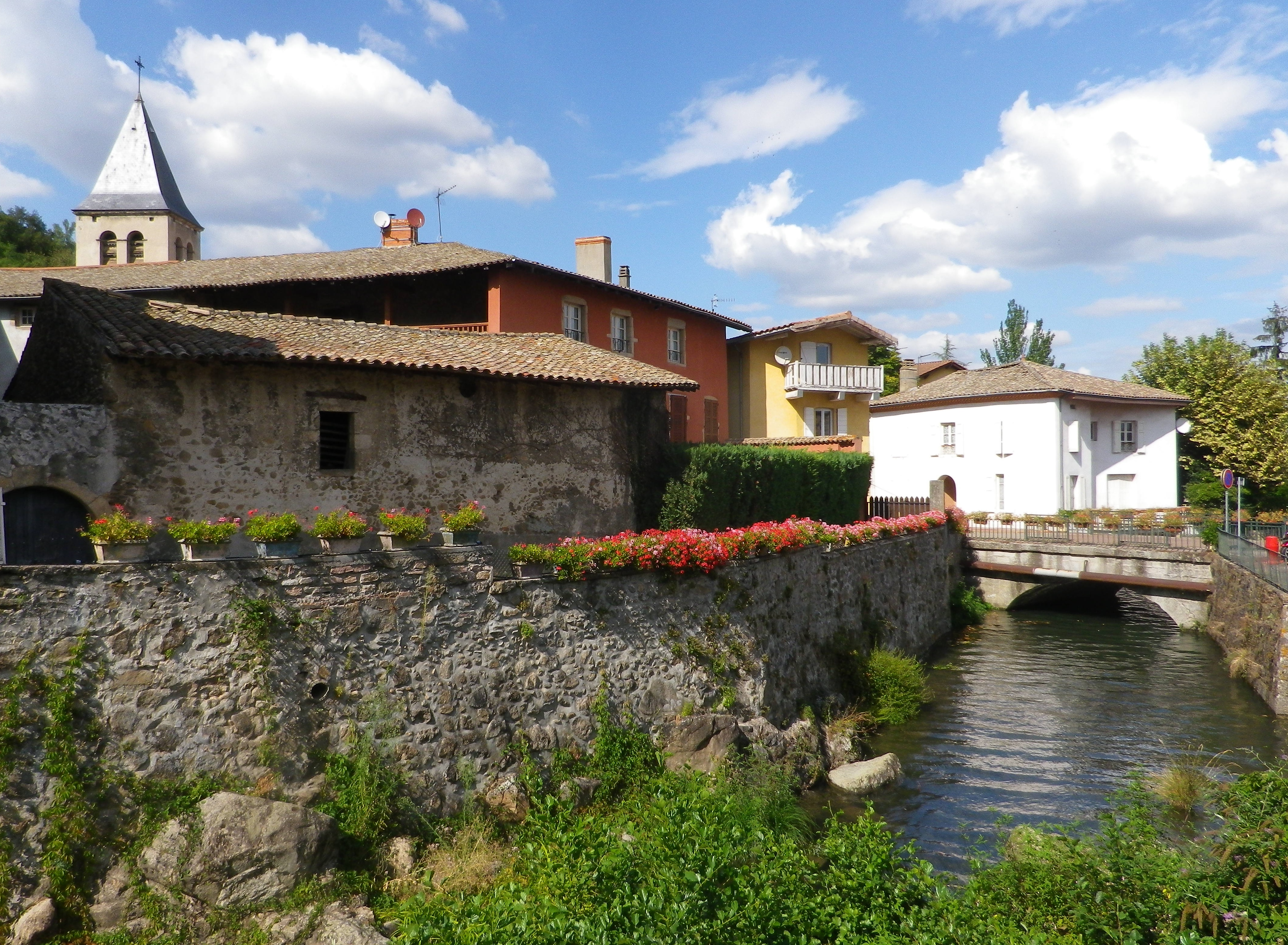
In fact, I was in such a hurry to begin, that I parked along the Rue Nationale in Verin, and began there, as opposed to starting at the official start point in St Michel sur Rhone. I hurried north upriver to enter the old village center. Verin, like Saint Michel sur Rhone, is a small village. No industry apparently, just lots of vineyards. Still the old center is charming, a couple of narrow lanes, set along a stream that feeds into the nearby Rhone. Being able to hike again in the northern Rhone region along the river was another reason to be ecstatic about the hike.
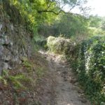
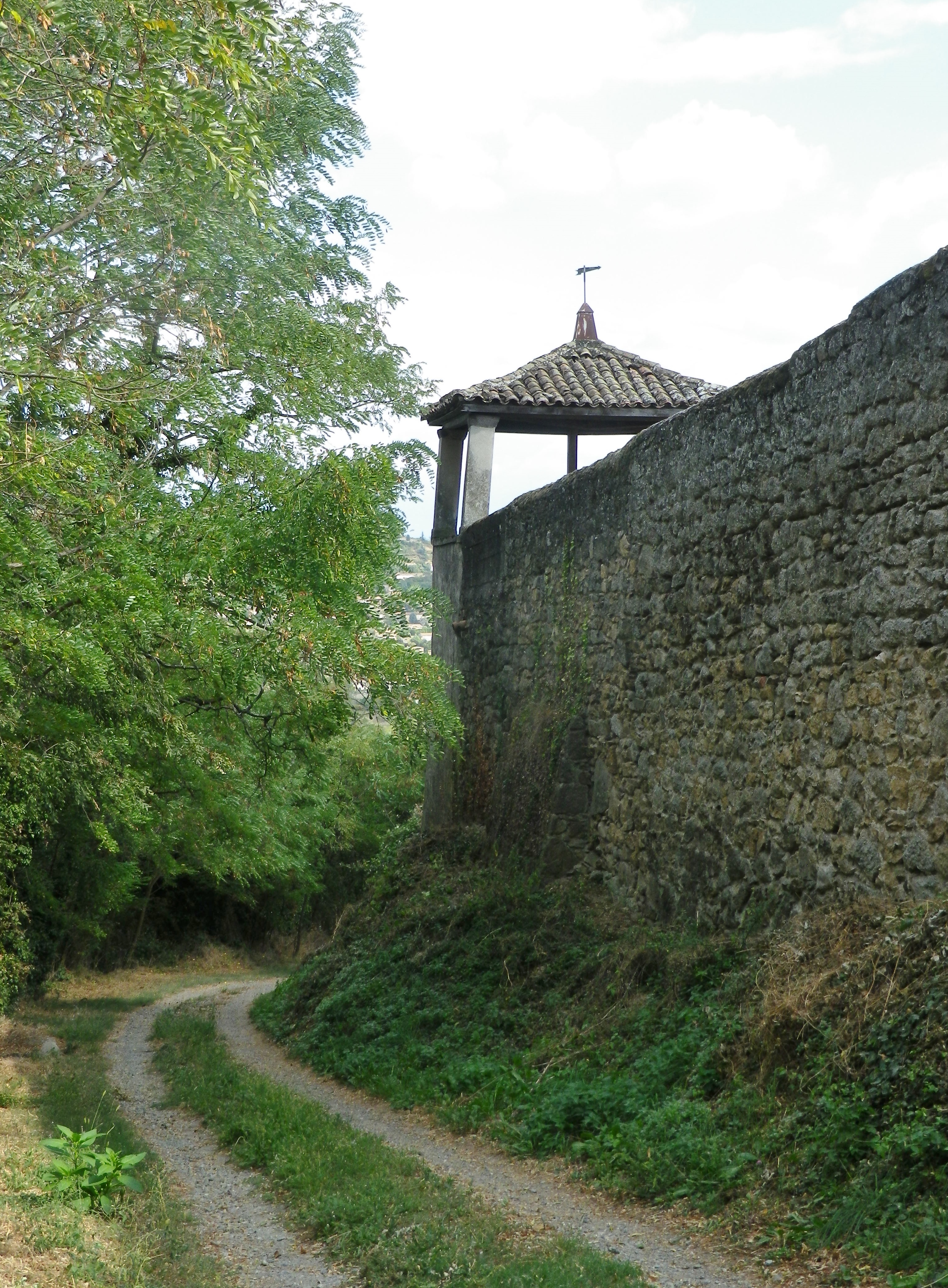
Once leaving the village, the trail begins a steady climb up a rather steep slope. The steepness of the slopes here, combined with their southerly exposition, is part of the reason the Viognier grape does so well here. This part of the trail was thankfully through woods. Occasionally, a tantalizing hint of the Chateau Grillet vineyards appeared, making my mouth water.
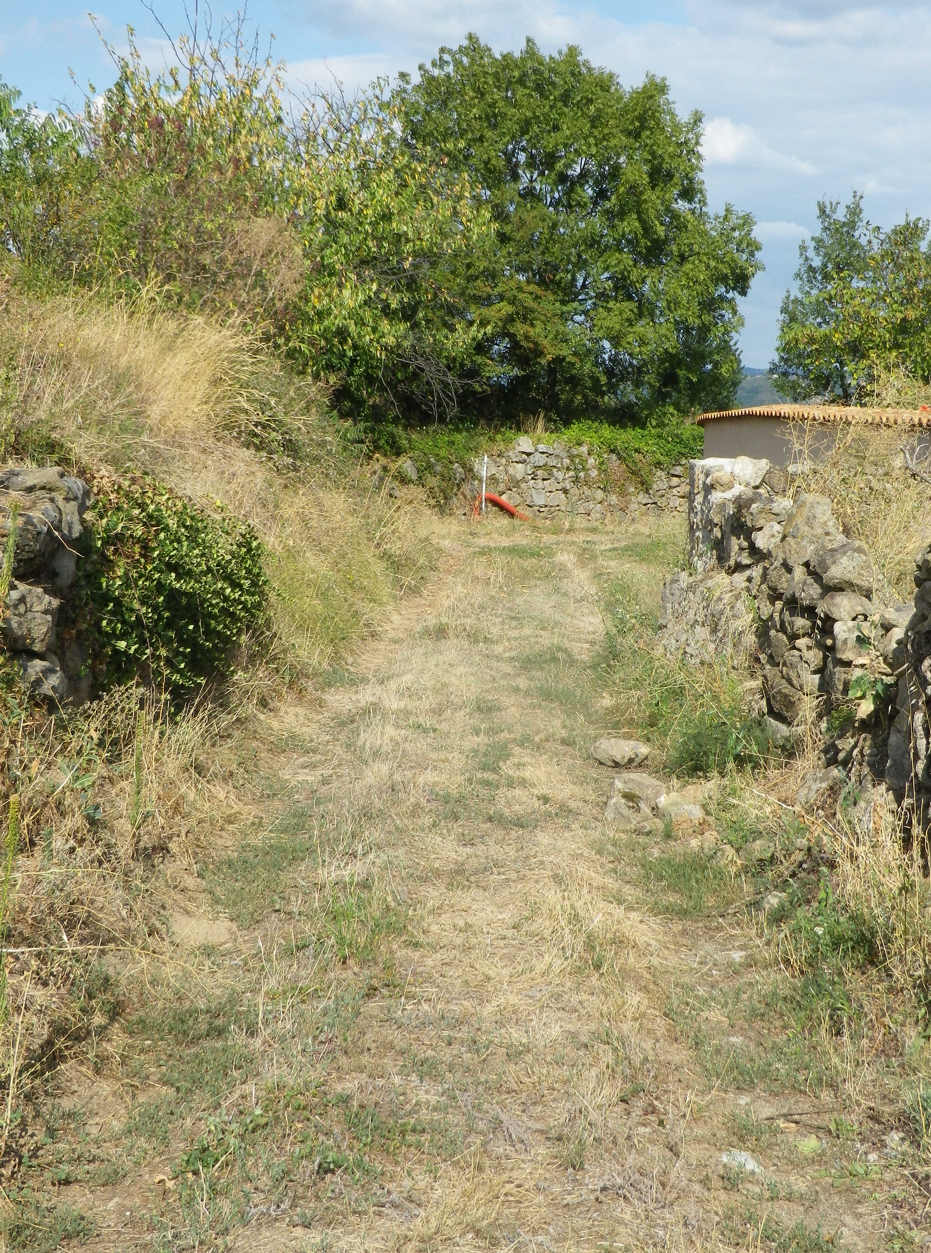
Completing the last push uphill to the hamlet of l’Ollagniere, the views began to open up. It was a peaceful spot high above the river, with more open fields, and fewer vineyards.
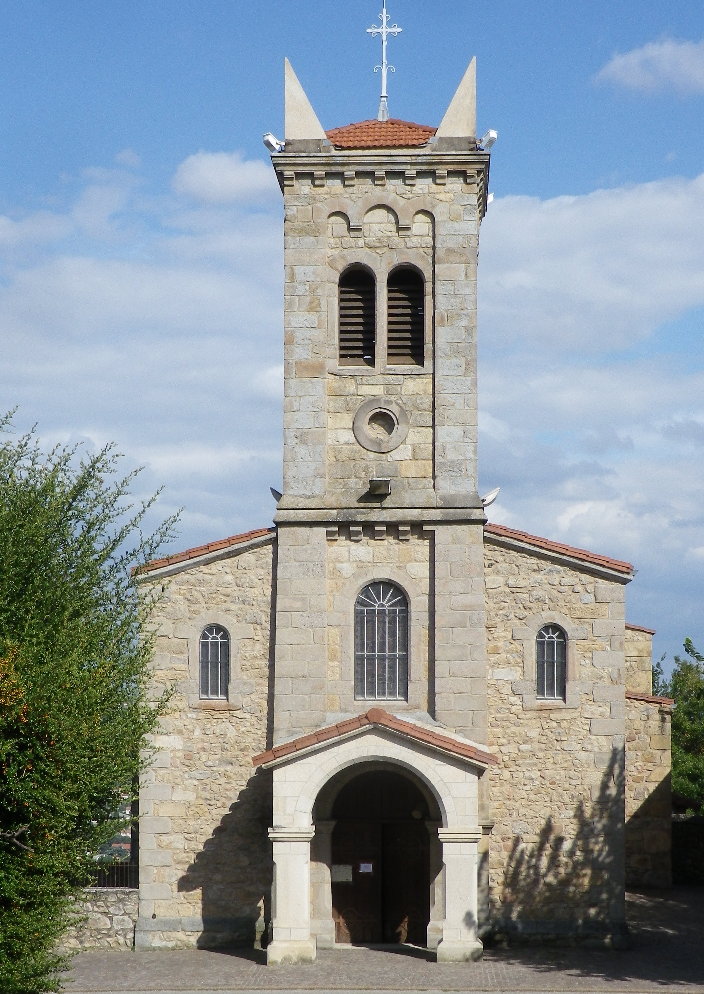
The first descent went through a small wood, and followed along a quiet lane into the village of St Michel sur Rhone. The stone church caught my eye, as did the large parking lot and restrooms. I saw one small inn with a restaurant, but not a soul in sight anywhere in this amble through the village. Leaving the center of the village via the cemetery, I reflected that at least there had been inhabitants in the village.
The second descent was certainly more punishing than the first, but rewarding for its passage through the acres of vines all growing Viognier! The loose granitic soil, and the well-worn rock surface it lay on only added to the challenge. But once the trail reached another wood, the going was easier. Meanwhile, the south and east facing views of the Rhone were amazing.
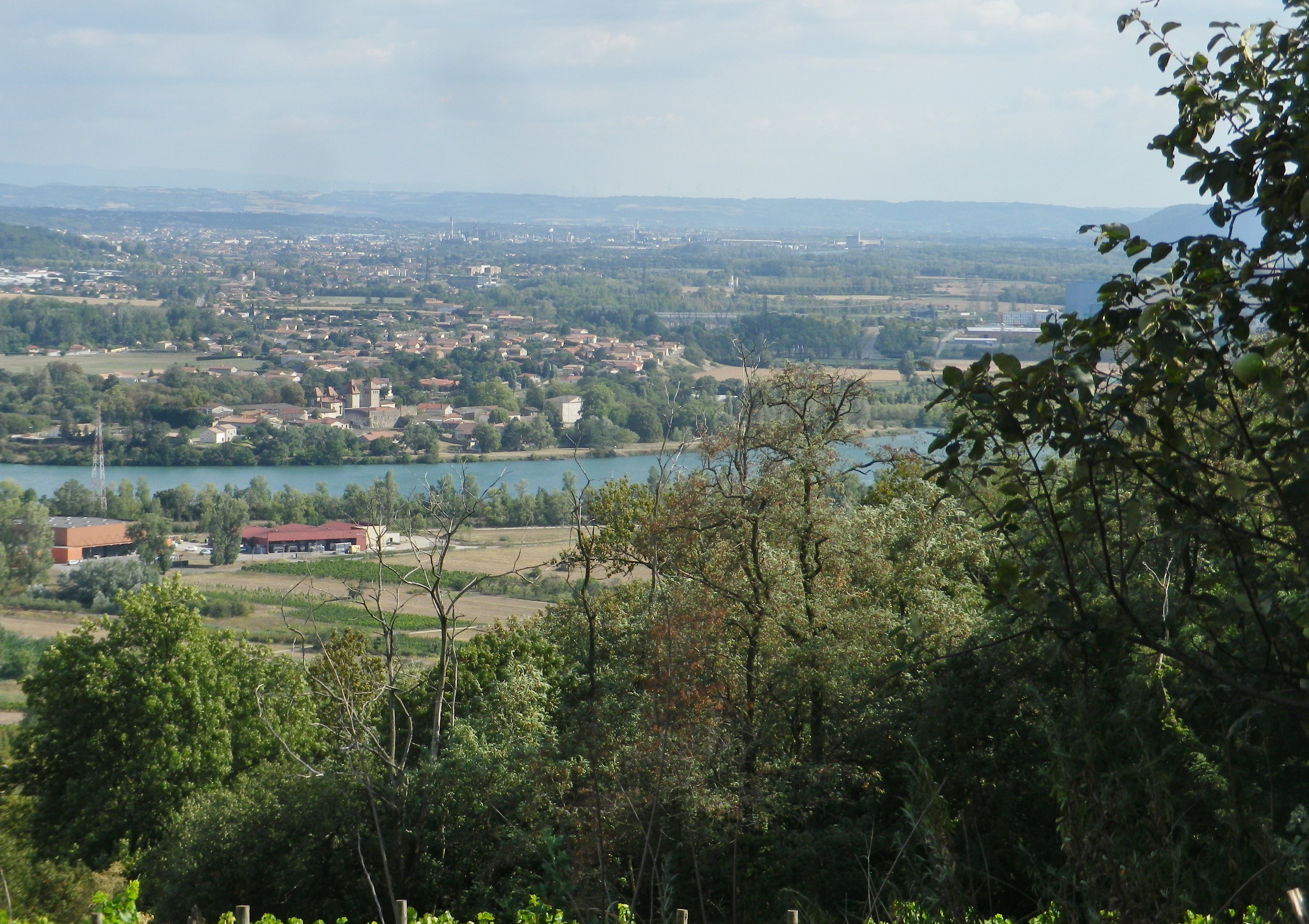
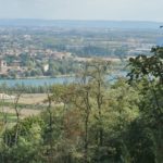
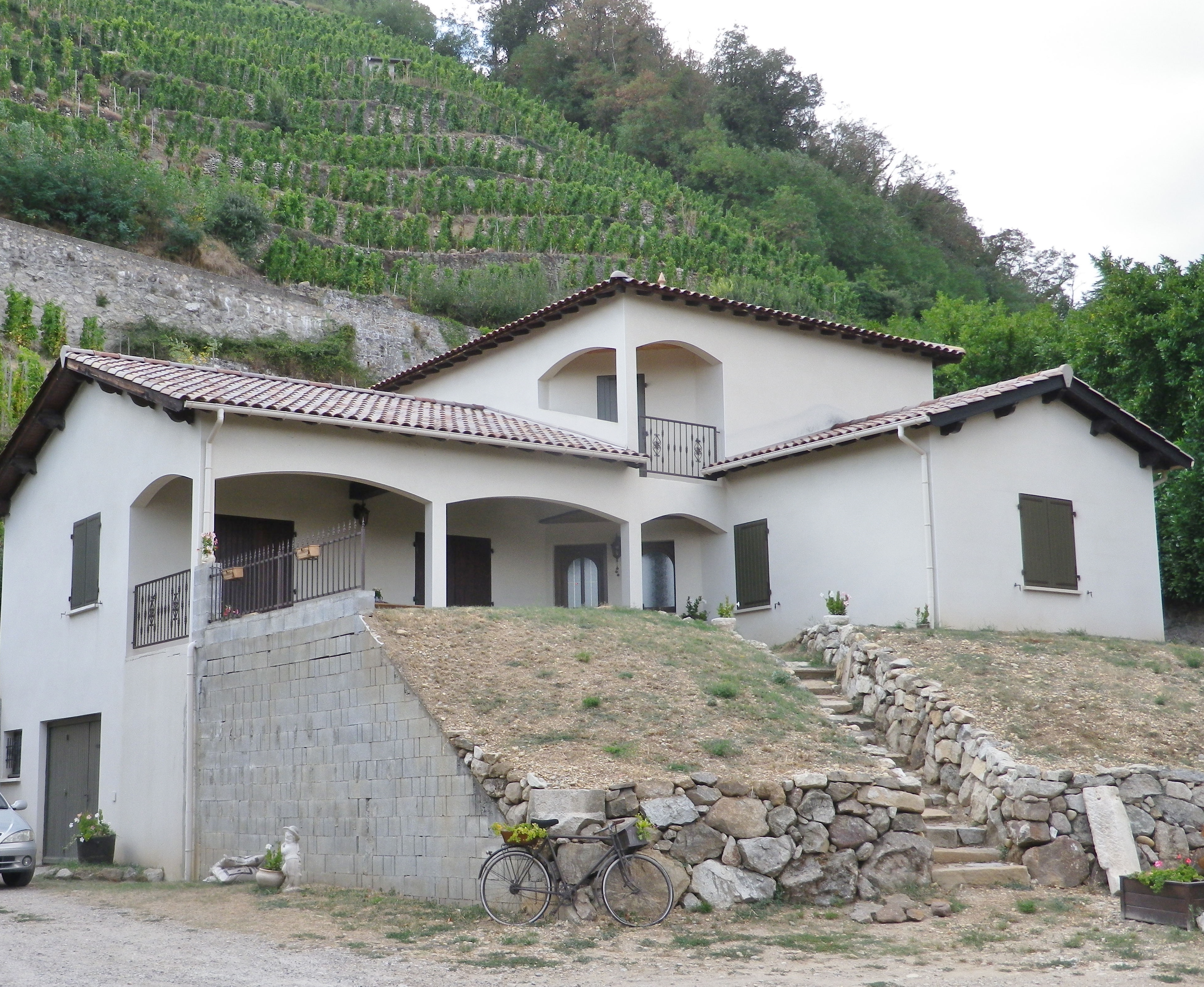
The trail along the river’s flood plain was easy. While not necessarily scenic, it was quiet, and flat, which is rare in this area. And from that perspective, it demonstrated how, in this section of the Rhone, the cliffs literally rise up suddenly. Heading north, the trail turned west, and within a quarter of a kilometer, I was hiking along the base of steep slopes. It was my last section of the trail, that ended following along the final vineyards on this hike. While they would be the last vineyards I saw while hiking, they certainly won’t be the last vineyards I savor from this hike!
Les Coteaux St Michel: Trail in a Nutshell
Trail Name: Les Coteaux St Michel, AKA Saint Michel n. 1
Trail Type: Short distance; somewhat maintained and varied surfaces from paved to rough, with loose gravel on some of the steep slopes, marking on the trail good, but with one exception, not specific to the trail itself.
Length:
Total – about 7 kilometers/ 4.5 miles
Convenient to: Vienne and Lyon, France
Marking:
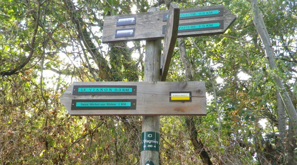
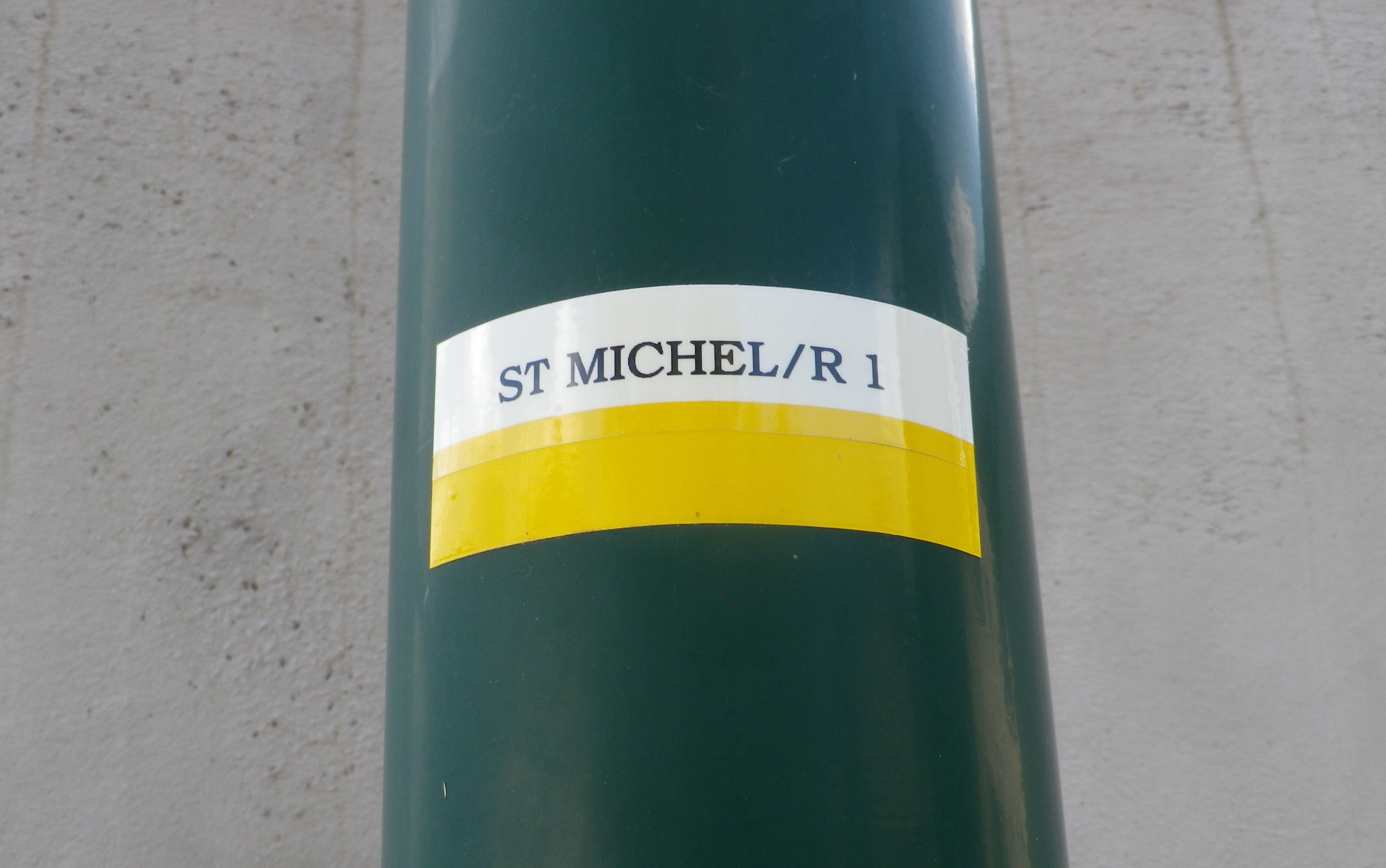
A white horizonal bar over a yellow horizonal bar, and occasionally a post noting current location and direction arrows with distances to further locations. (See photo above)
Trail Description:
A beautiful and sometimes challenging trail through a variety of landscapes from hamlets to fields and forests, but mostly dominated by scenes of the Condrieu vineyards and the Rhone River. With the dramatic views, and constantly changing trail, this trail will satisfy those looking to explore the quiet area of this small appellation.
Trailhead:
Official: St Michel sur Rhone: Mairie – R du Solon x Place des Muriers
Mine: Rue de la Voie Romaine, Verin
Parking:
St Michel sur Rhone: R du Solon, by church about 20 places; Rue Haute (Place du Bourg Vieille), about 9 spots
Verin: R. Nationale, parking along the street, south of R Jean Vincent, and between R. de la Voie Romaine and D34; small lot at the intersection of R Jean Vincent and R. Nationale/D34
Public Transportation Options:
Rail: SNCF routes north to Lyon and south to Valence, pass through the station St Clair les Roches, across the river from Condrieu in Les Roches de Condrieu.
Bus: Bus, more like van, service is available on demand.
Suggested Stages: Not Applicable
Trail Itinerary-Reference Points: (Counterclockwise)
St Michel sur Rhone: Place des Muriers, La Piaton, woods, Impasse Cote Foret, Cote Foret (along tracks), cross D1086, dogleg , R du Grand Val, north on R de Lone, east to R. de Jassoux, Impasse du Puit, cross tracks, Impasse de la Croix Rouge, Impasse de Poncin, cross tracks, north on R. Roches Molles (Chateau Grillet); Verin : R. de la Voie Romaine, R. de Beatrice de Roussillon, path on left by house just after underpass, above another house, Impasse de la Croix Margot, R. de la Cartherie, Impasse au Bois, R. de l’Ollagniere ; Impasse la Gaie, down between house and pool, R Rampot
Representative Trail Photos:
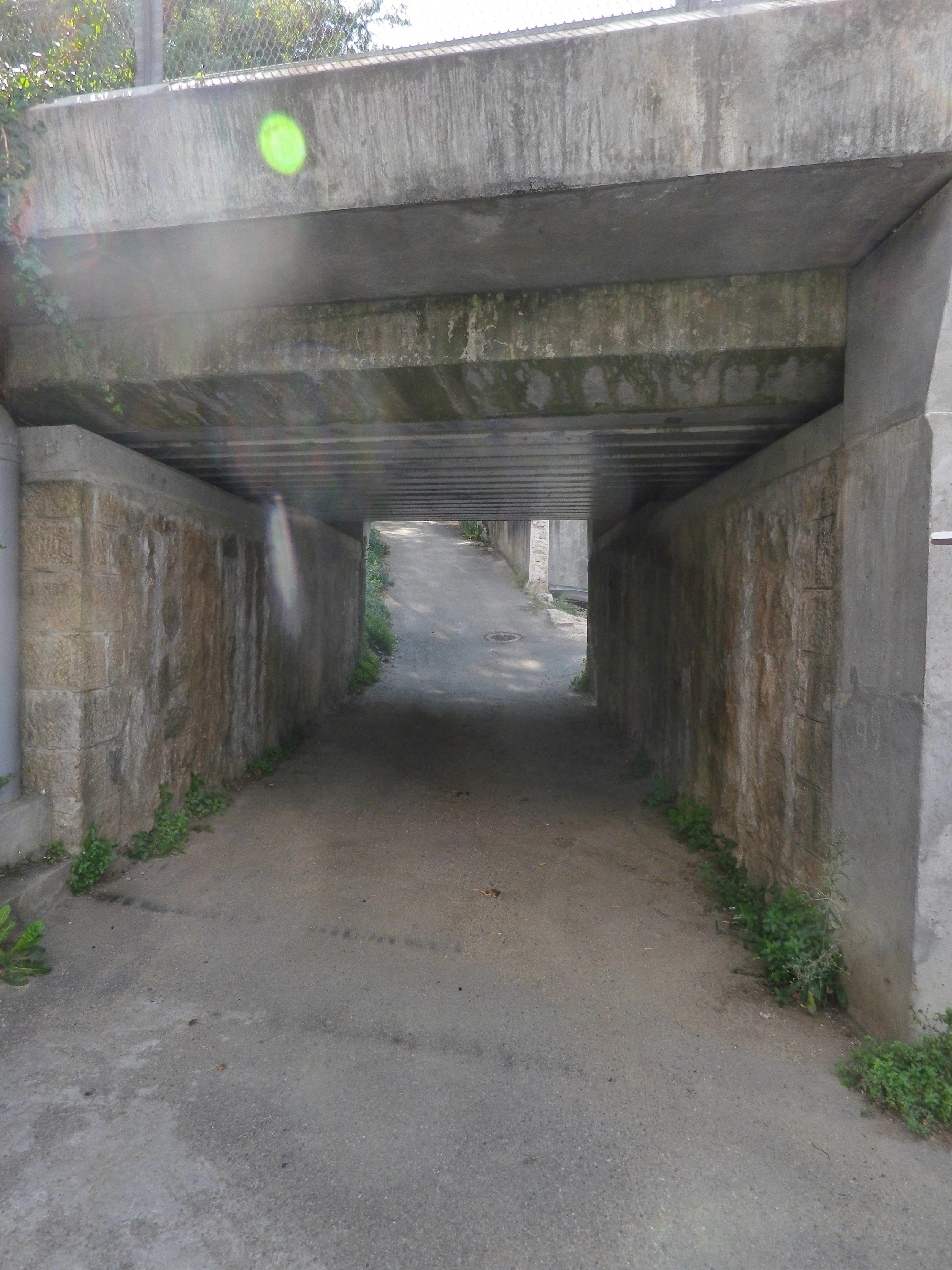
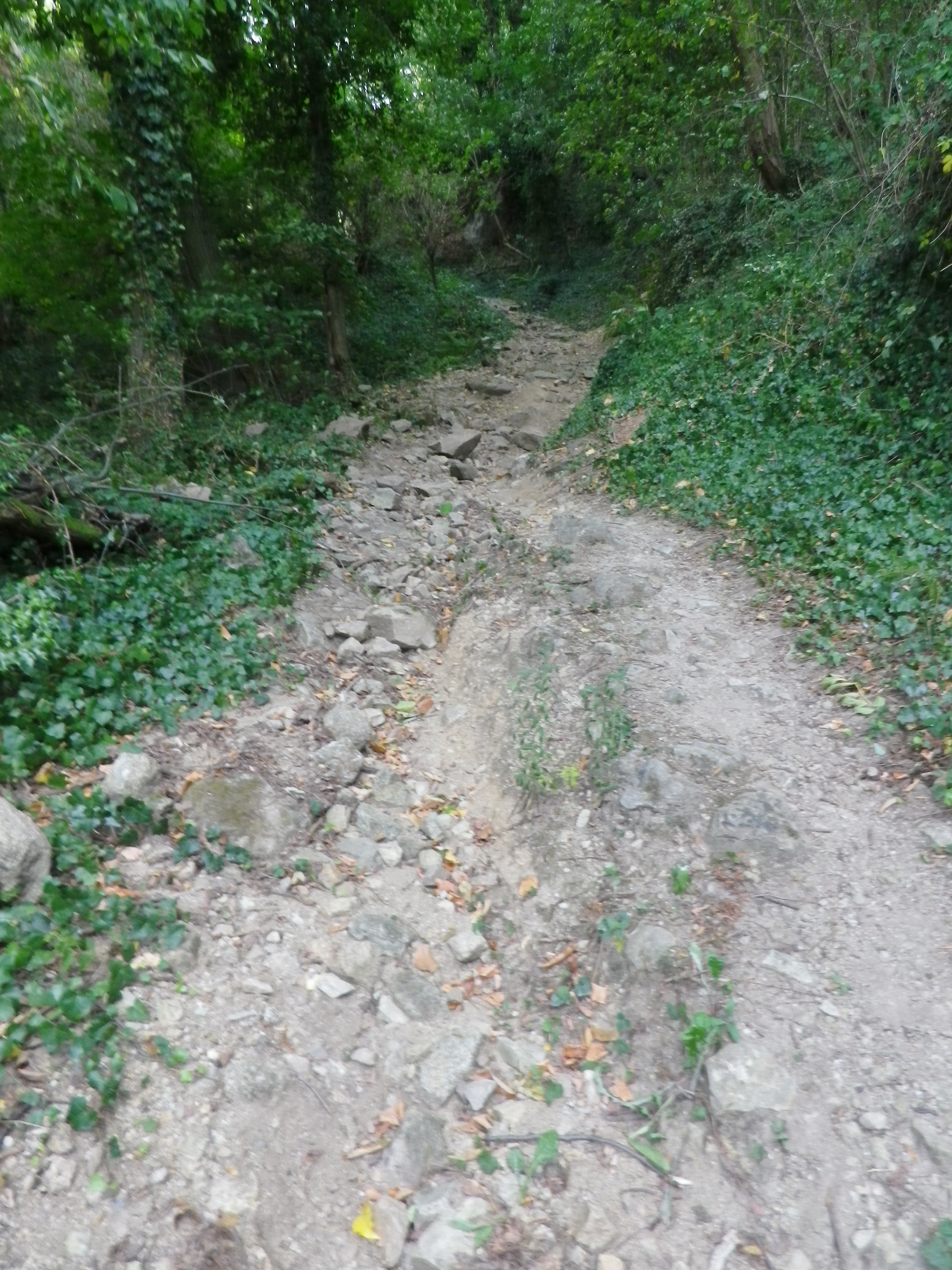
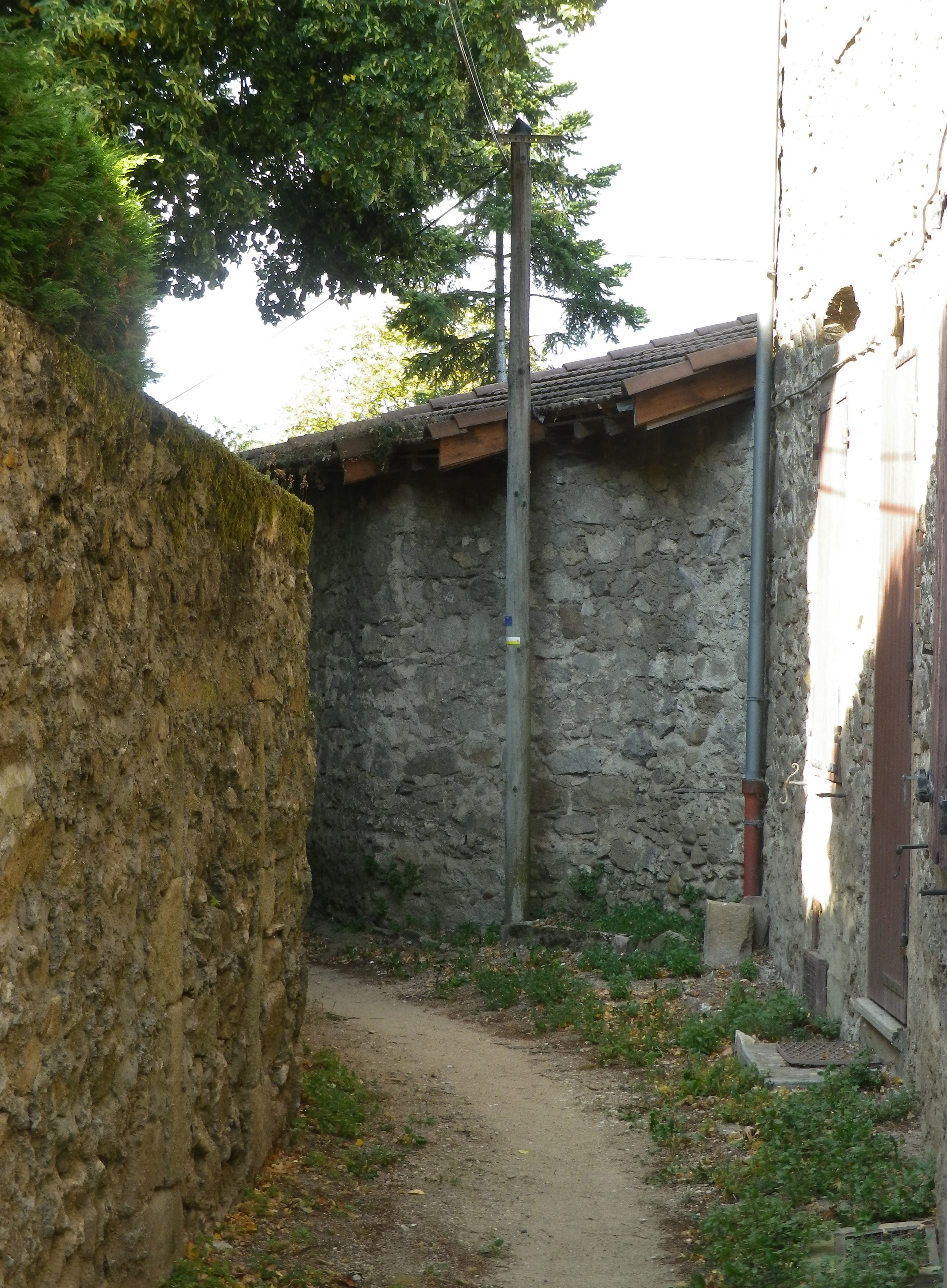
Restrooms:
St Michel sur Rhone: R du Solon, by church and Restaurant
Attractions on or near Trail:
Just lots of wonderful views of the famed vineyards
Tasting along the Trail:
Condrieu, the town, has the most wineries, although there are a few, smaller ones along the trail, especially in Saint Michel sur Rhone
Alternative Options:
Hiking: Dans les Vignobles de Cote-Rotie et Condrieu, a three-day, 44-kilometer circuit trail of short stages around both the Cote Rotie and Condrieu appellations.
Additional Information:
Regional: https://www.condrieu.fr/# and https://www.vienne-condrieu.com/
Trail specific: https://www.mairie-saintmichelsurrhone.fr/loisirs_randonnees_a_saint_michel.php
Comments:
There were a couple of places where the trail followed in between a house and a barn or other building, or a house and a pool. In all cases, it was indeed part of the trail. (There were a couple of rail track underpasses as well. )
Gallery May 2020
Savoring Savigny
Like any fine Burgundian wine, Savigny should be savored. Not just the wine either: the sights and sounds of its sites merit time and attention as well.
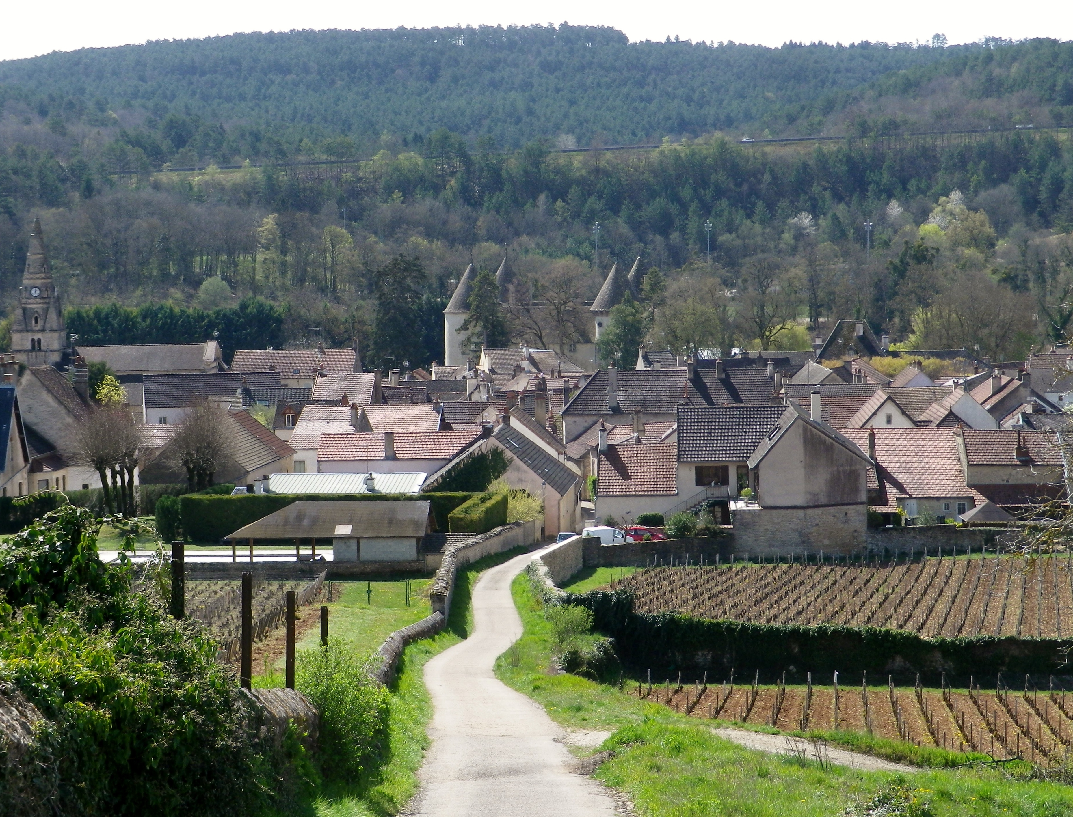
Savigny-les-Beaune, as its full name indicates, is located near Beaune, the main hub of the Cote de Beaune wine district. Like Beaune, this small town has its own appellation, covering both red (Pinot Noir) and white (Chardonnay) wines. It is in a beautiful setting. The village essentially follows along a narrow river valley, backed by high hills, and surrounded by forests and vineyards. While most visitors search for the wine, I wanted to explore the town’s vineyards and forests, as well as savor the quaint corners of the historical center.
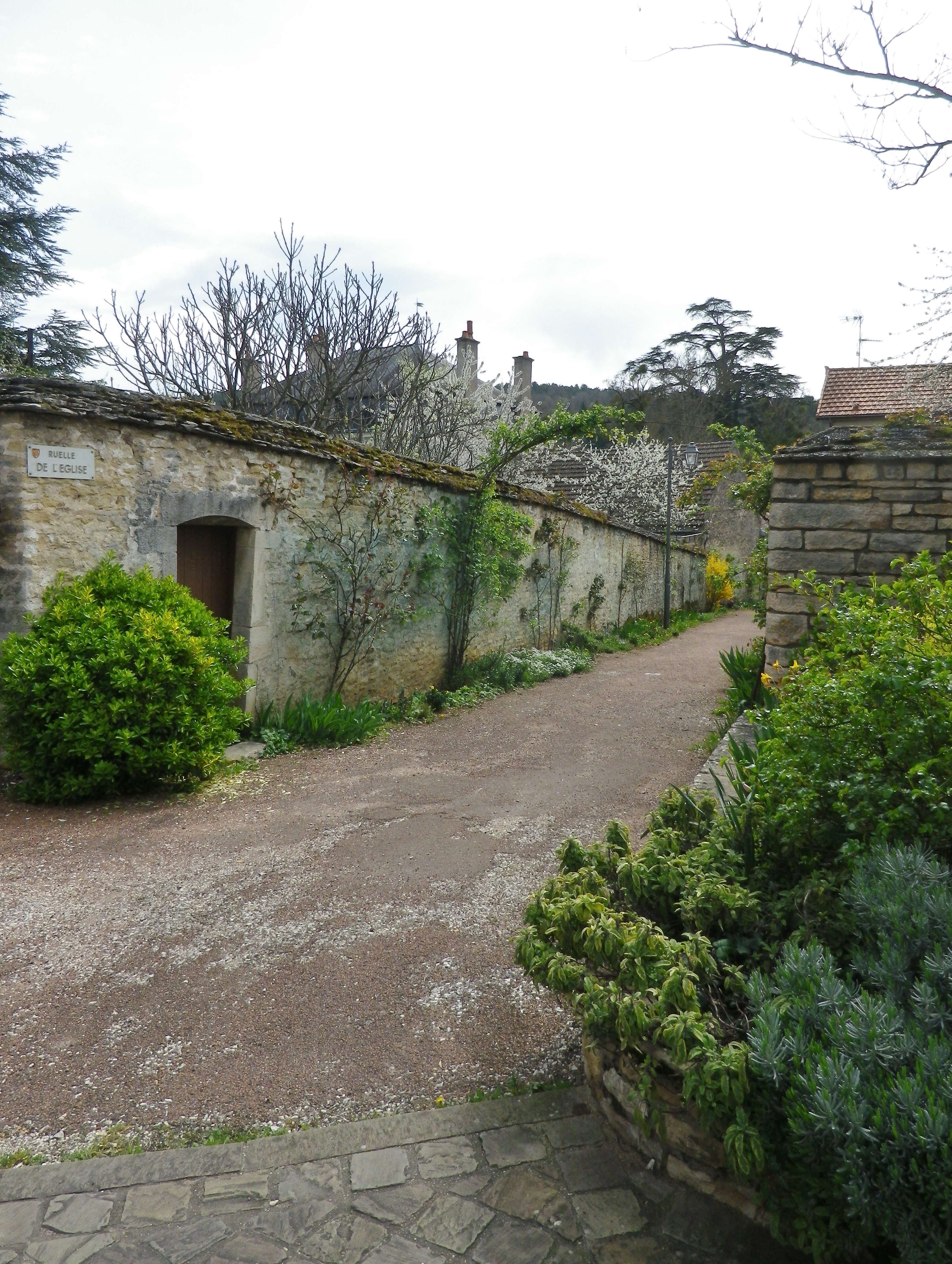
The first sensation to hit me, aside from the bucolic scenery, was the soft scent of pine. After passing through the outskirts of town, the trail passes through a wooded area made up of many pine trees. It was an aromatic climb uphill, as I breathed deeply of the forest scents. Pines do well in poorer soils, as do vines, which appeared as soon as I crested the hill.
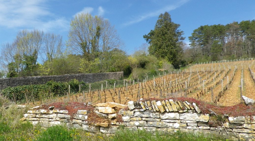
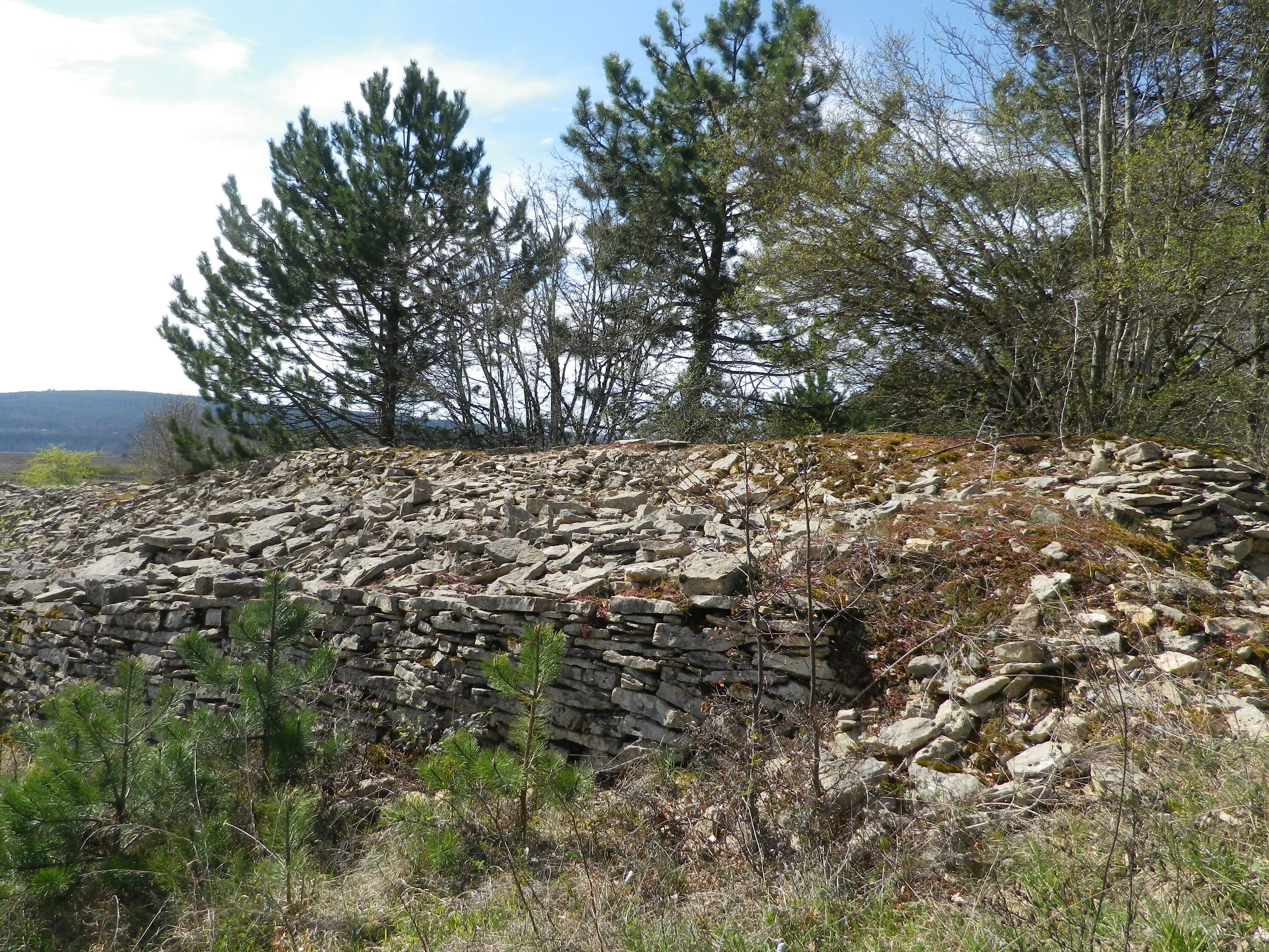
Chunks of limestone dotted the reddish soil surrounding the vines. Limestone is a prominent feature in the soil here. So much so that the rocks pulled from the soil are often piled together. Called “murgers,” these piles represent the backbreaking work of the vintners. Along much of this section of the trail, murgers would appear, the new serving as breaks between vines, and the old slyly hiding under a thick growth of vegetation in thickets and copses.
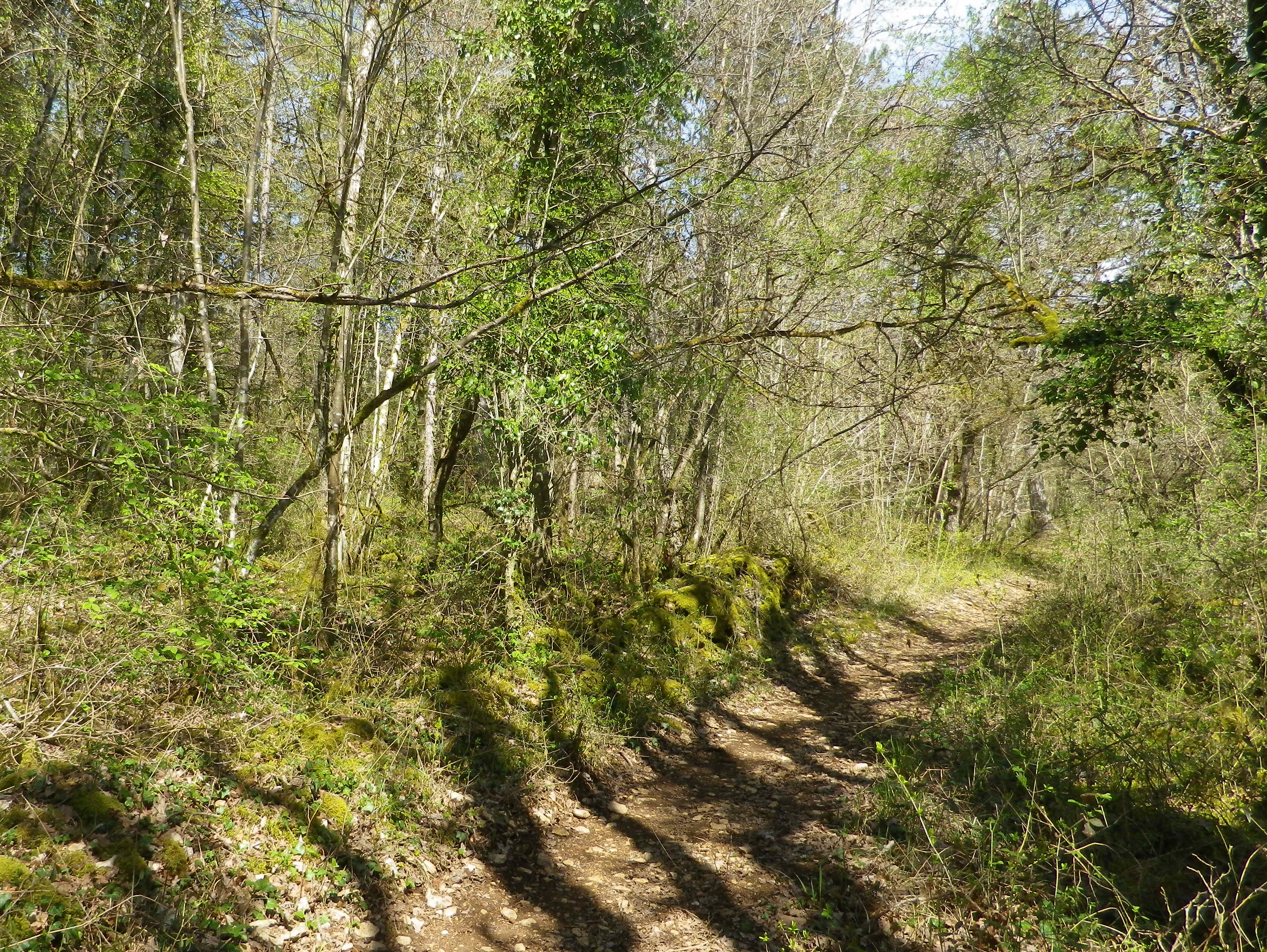
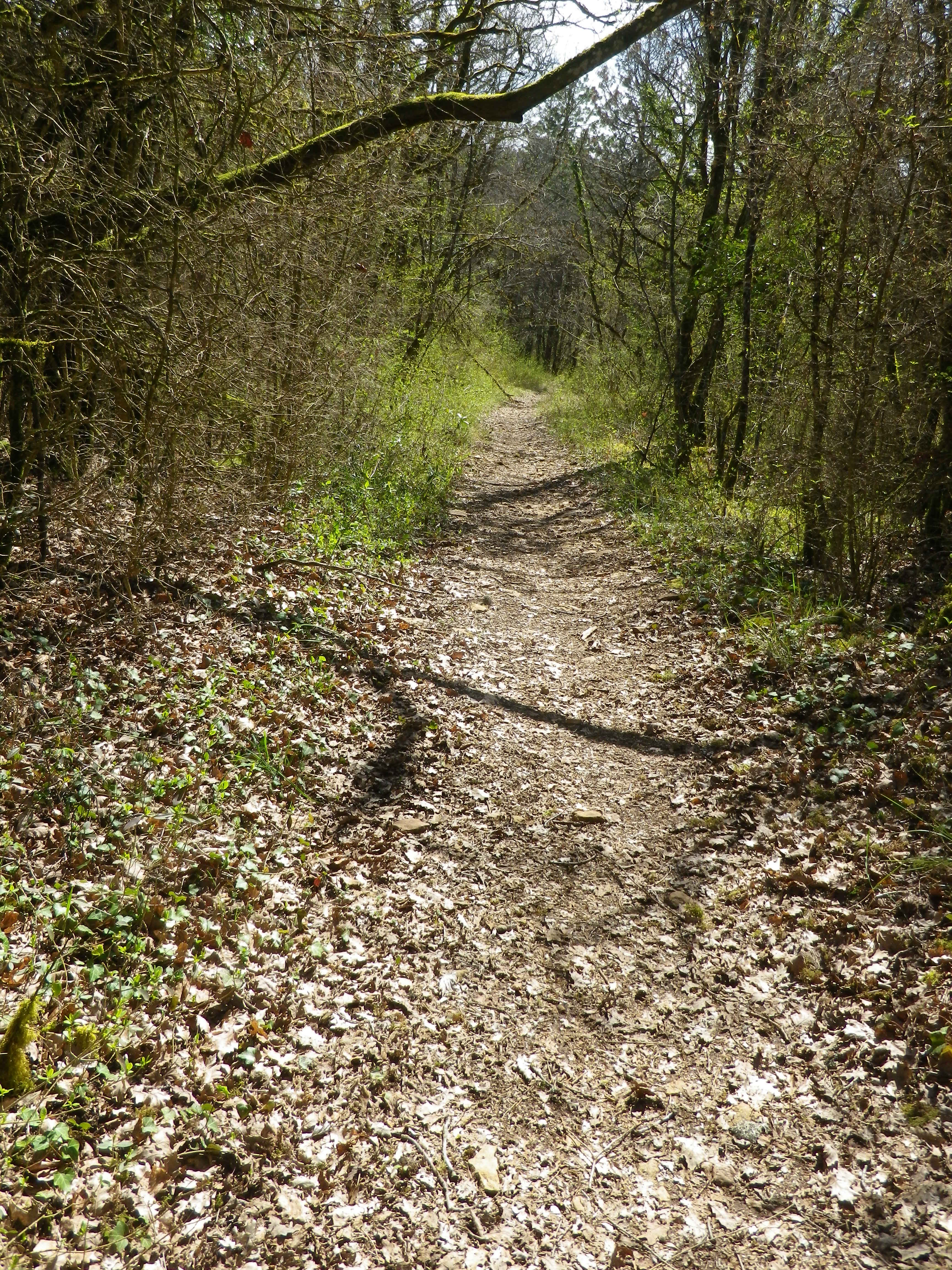
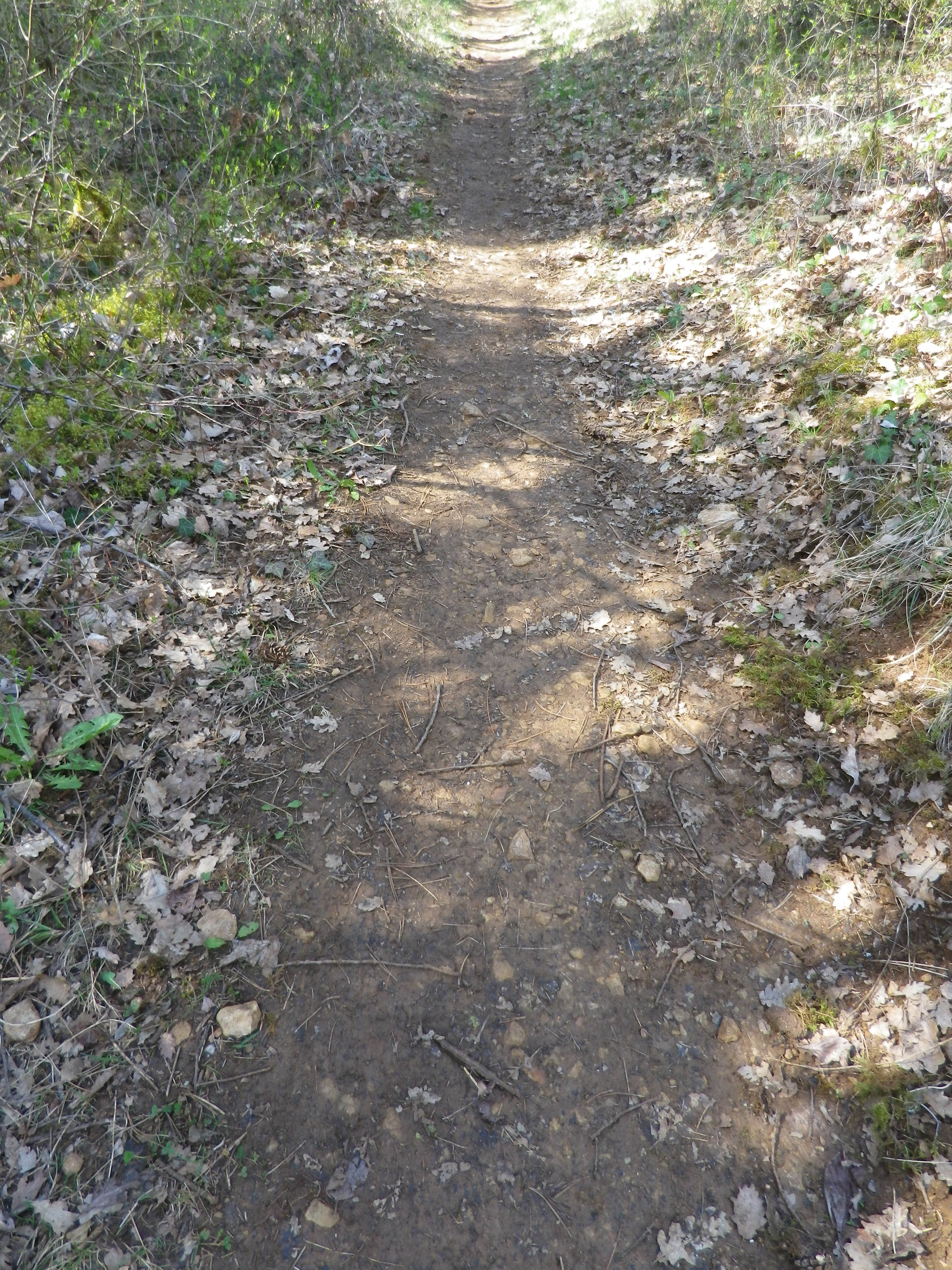
Following the passage through vineyards, a long descent through woodland ensued. The trail was rougher, but evidently well used. The shady interlude was greatly appreciated. It terminated in a “combe” a narrow valley not defined by a river. There are many combes in Burgundy, and they are well marked on maps.
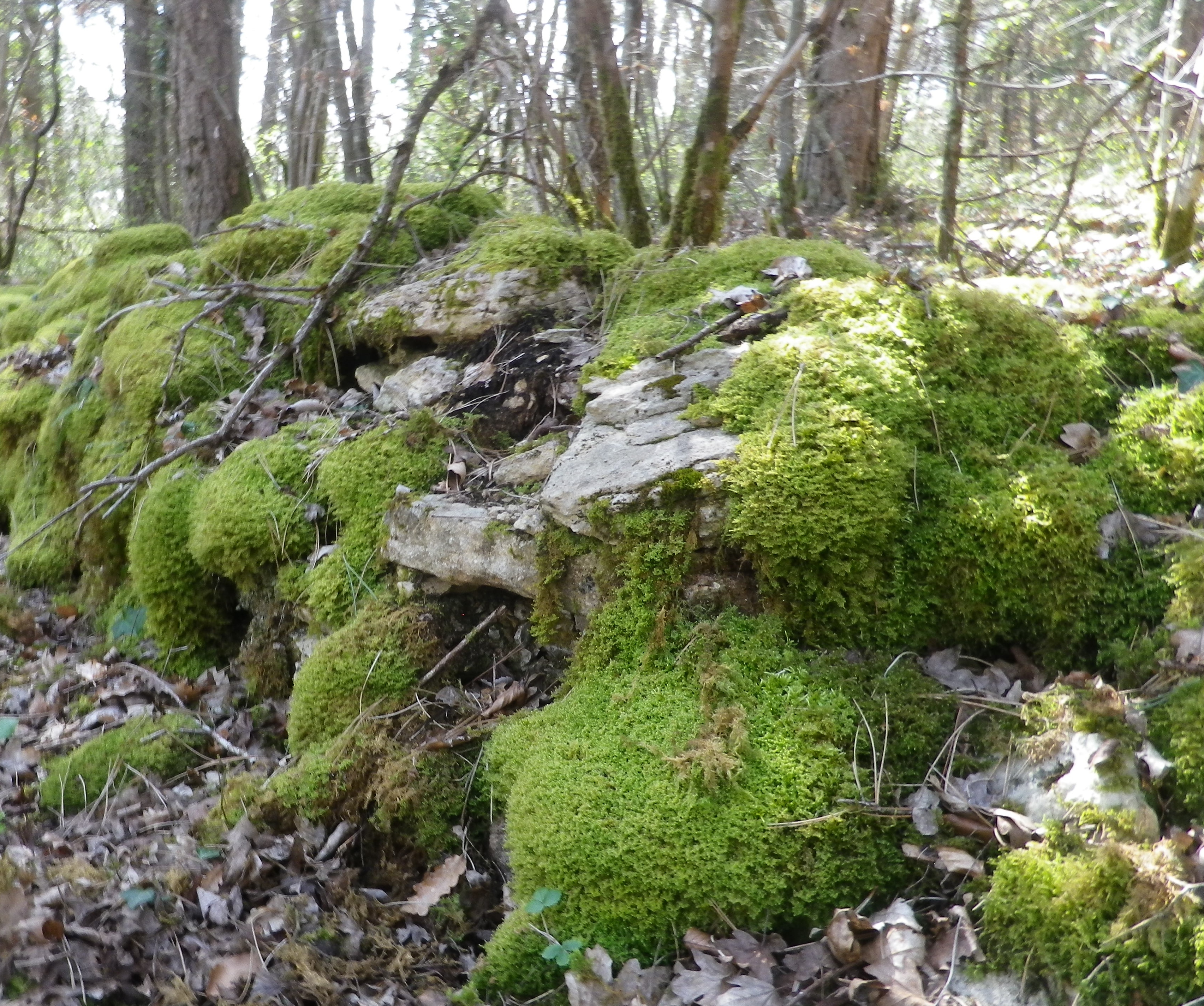
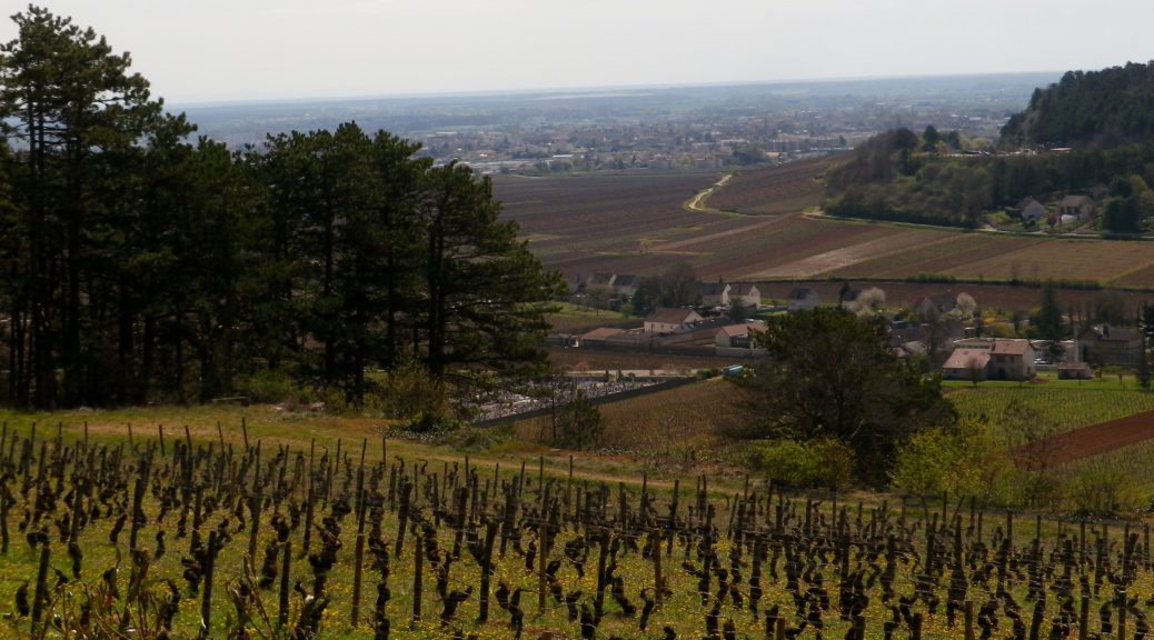
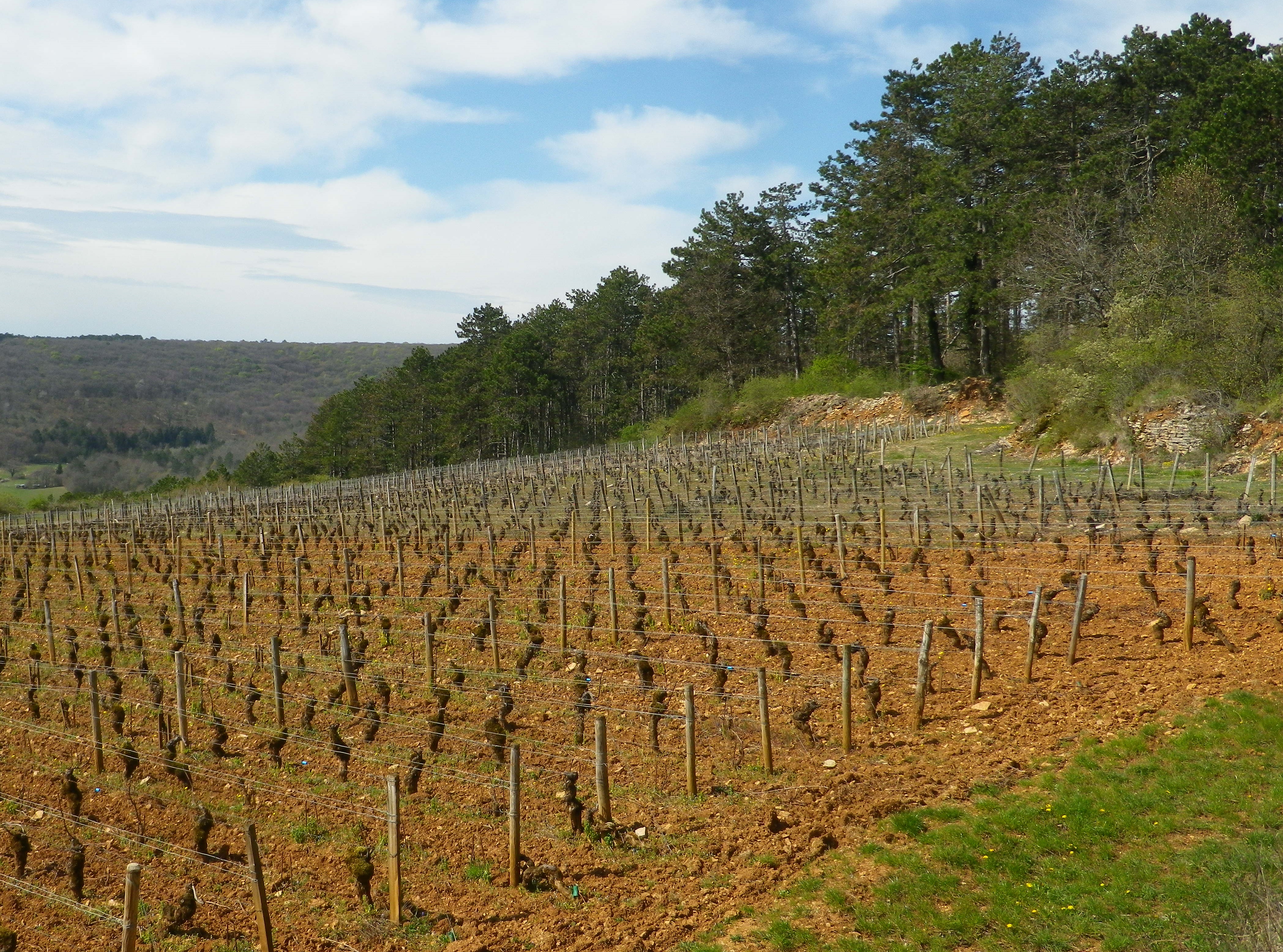
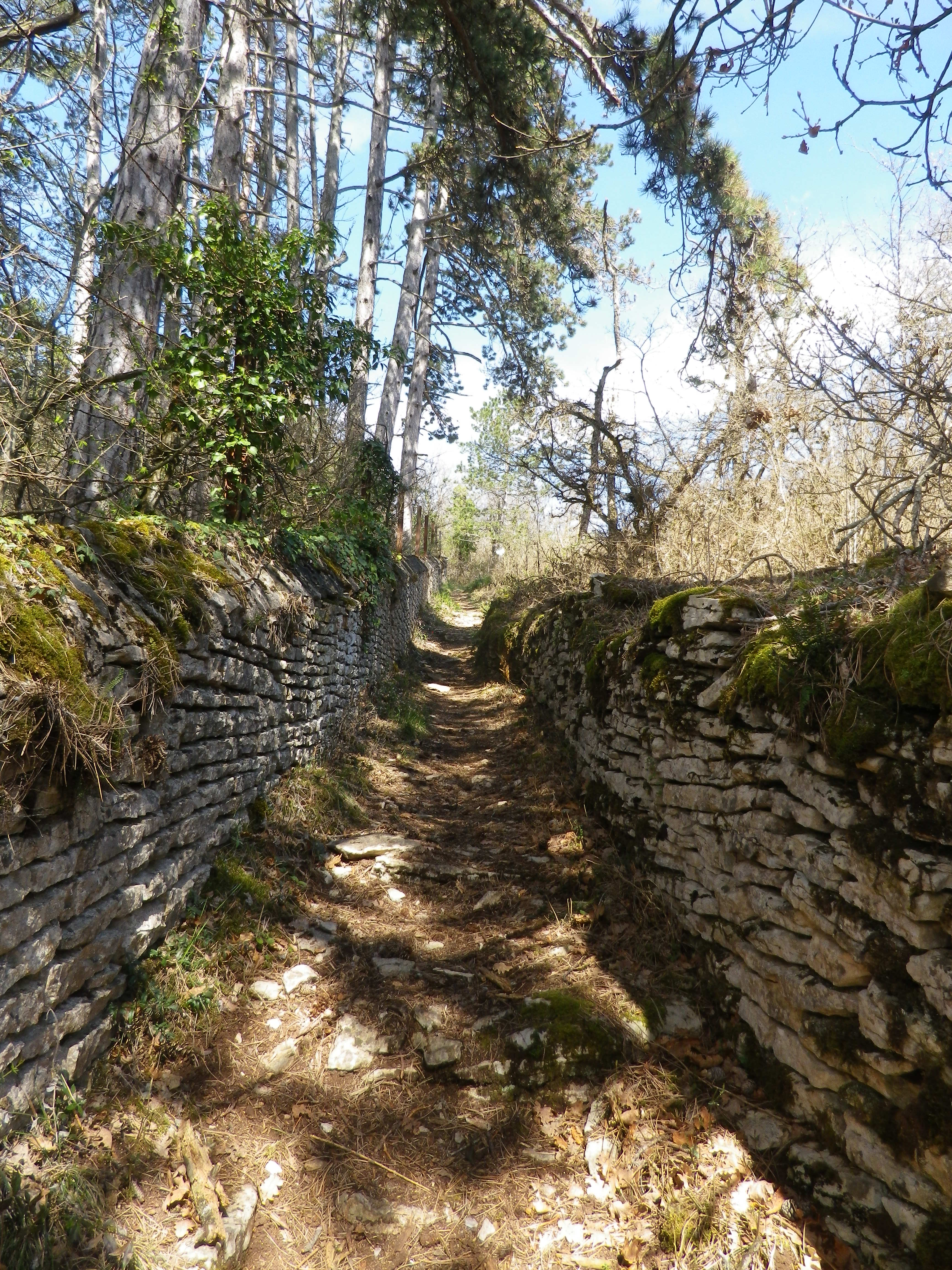
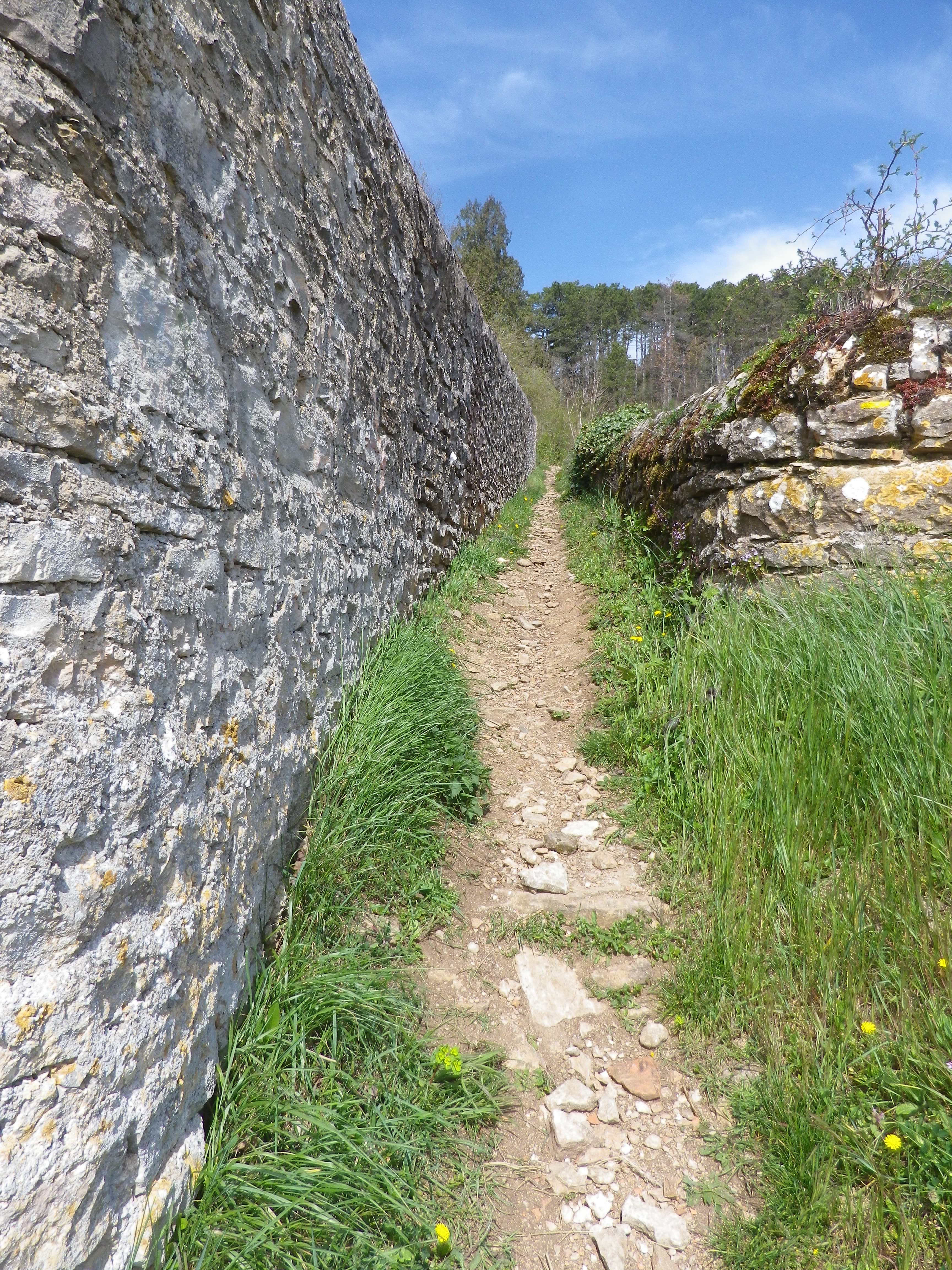
Upon leaving the combe, the trail headed uphill through more vineyards. In fact, from the top of the climb, the amazing sight of acres and acres of vineyards spread out below me, south and east, all the way to Beaune. (See the feature photo at the top.) The Cotes de Beaune is no less impressive than the Cotes de Nuits when it comes to the sheer numbers of vines planted on the famous slopes of the Cote d’Or. The trail headed downhill. It twisted and turned as it threaded its way through the woods, carefully inscribed between moss-covered limestone walls. Treasures as yet unseen lay behind these walls.
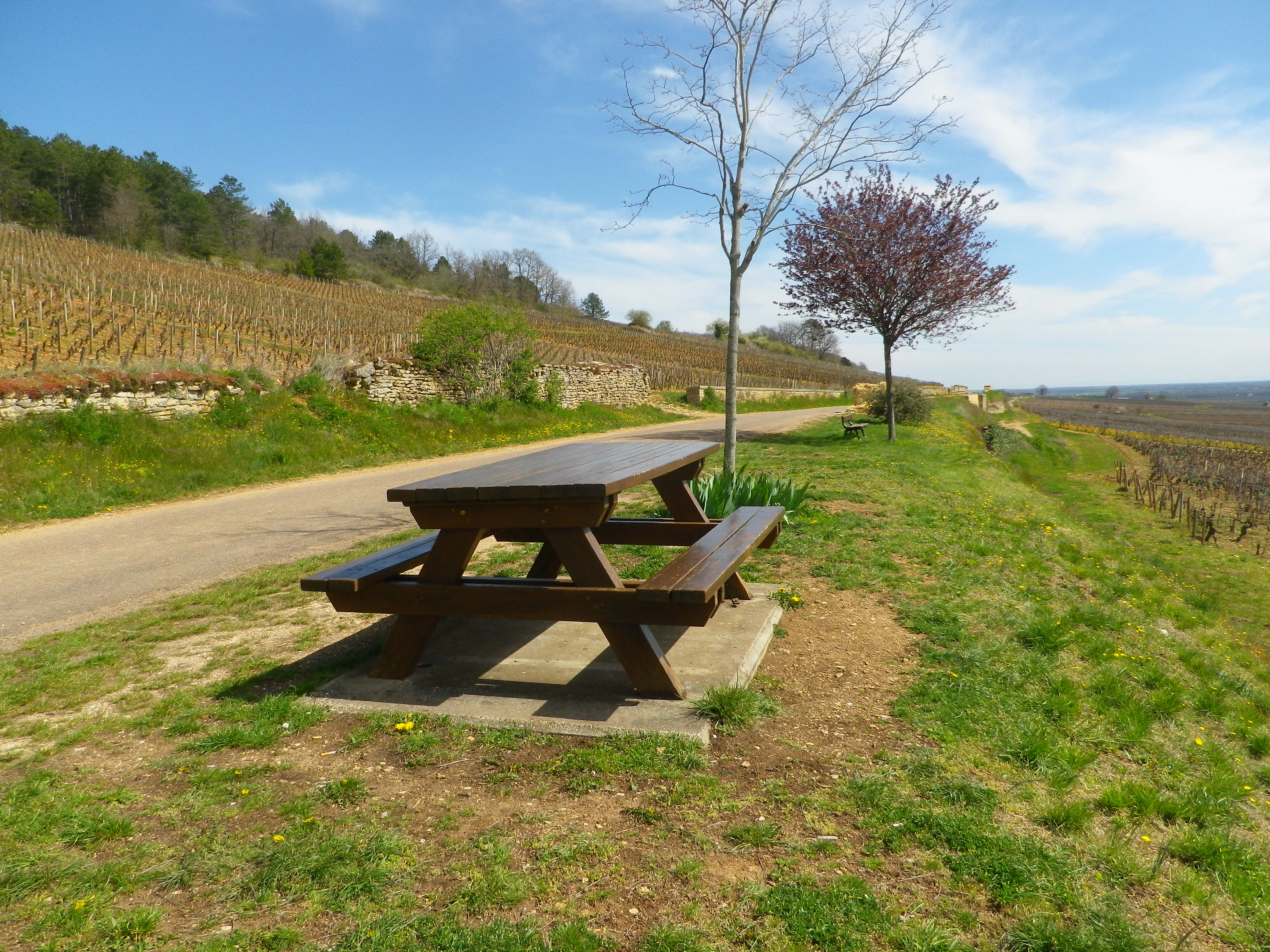
What lies behind the walls is evident only upon reaching the wide agricultural road at mid-slope. I turned around to discover that on this partially wooded slope lies the vast majority of the town’s Premier Cru: Aux Serpentieres, Petits Godeaux, Aux Gravains. Further down the slope, I could see many lieux-dit, named parcels, like the Aux Grands Liards parcel. The grapes here made up the village appellation wines. Someone thoughtfully stationed a picnic table overlooking the town’s glorious vineyards. But I pressed on…
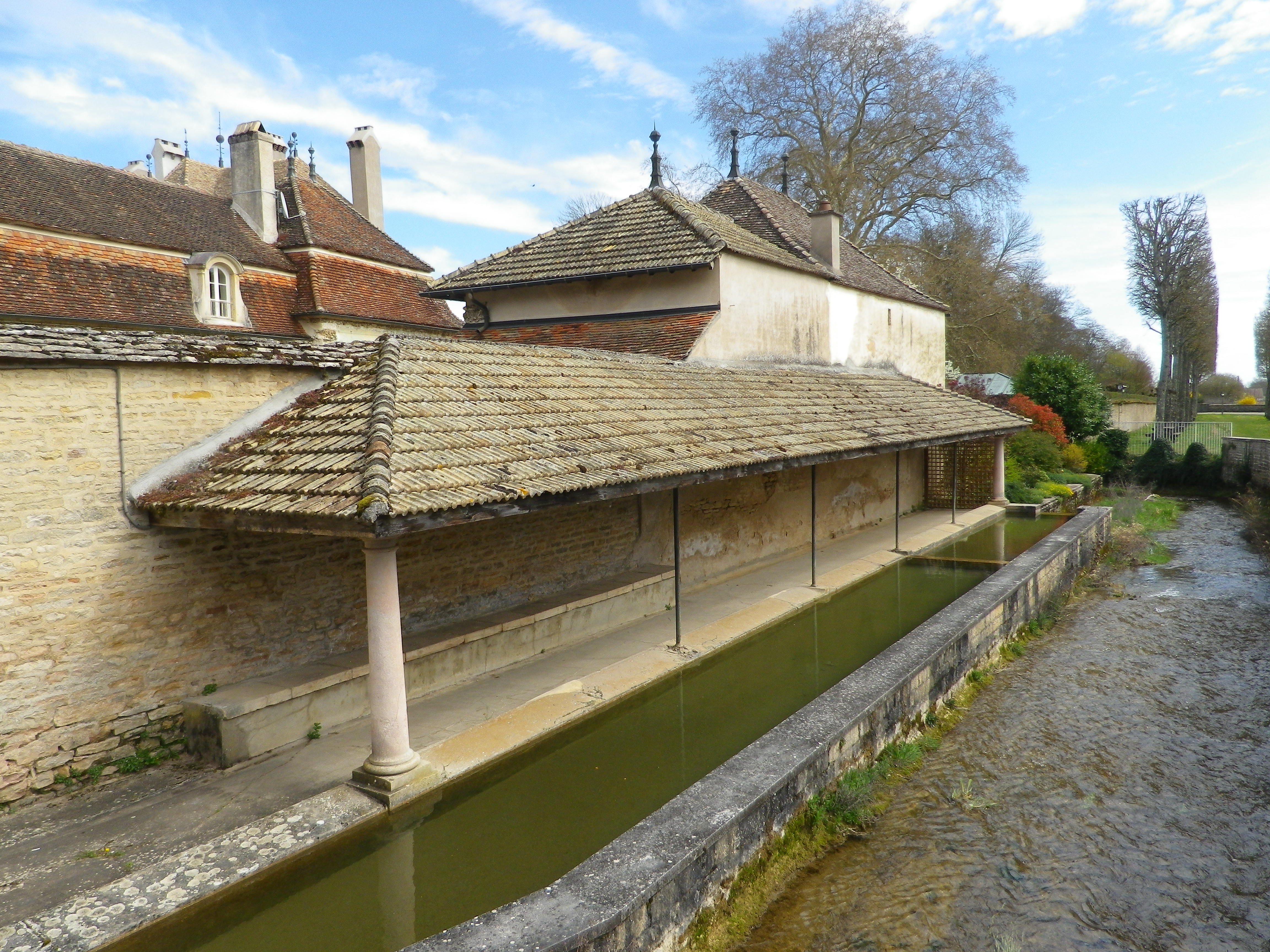
Soon after that, I came back into town. Homes and caves all constructed in limestone line the narrow lanes, ghostly white and just as quiet in the afternoon sun. The sound of a small river announced the Rhoin. An old washhouse, lined the northern bank. Every town in Burgundy seems to have one, and this one is was located just outside the castle gates.
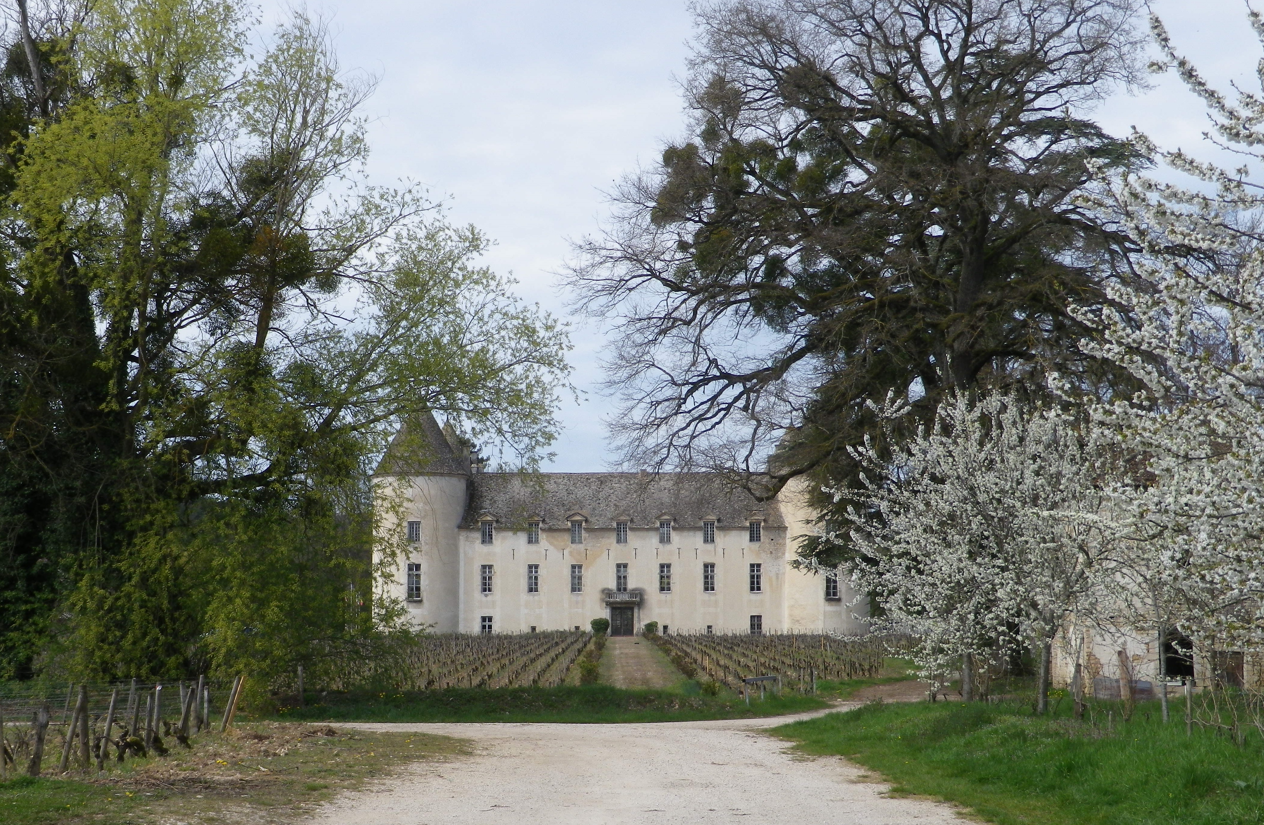
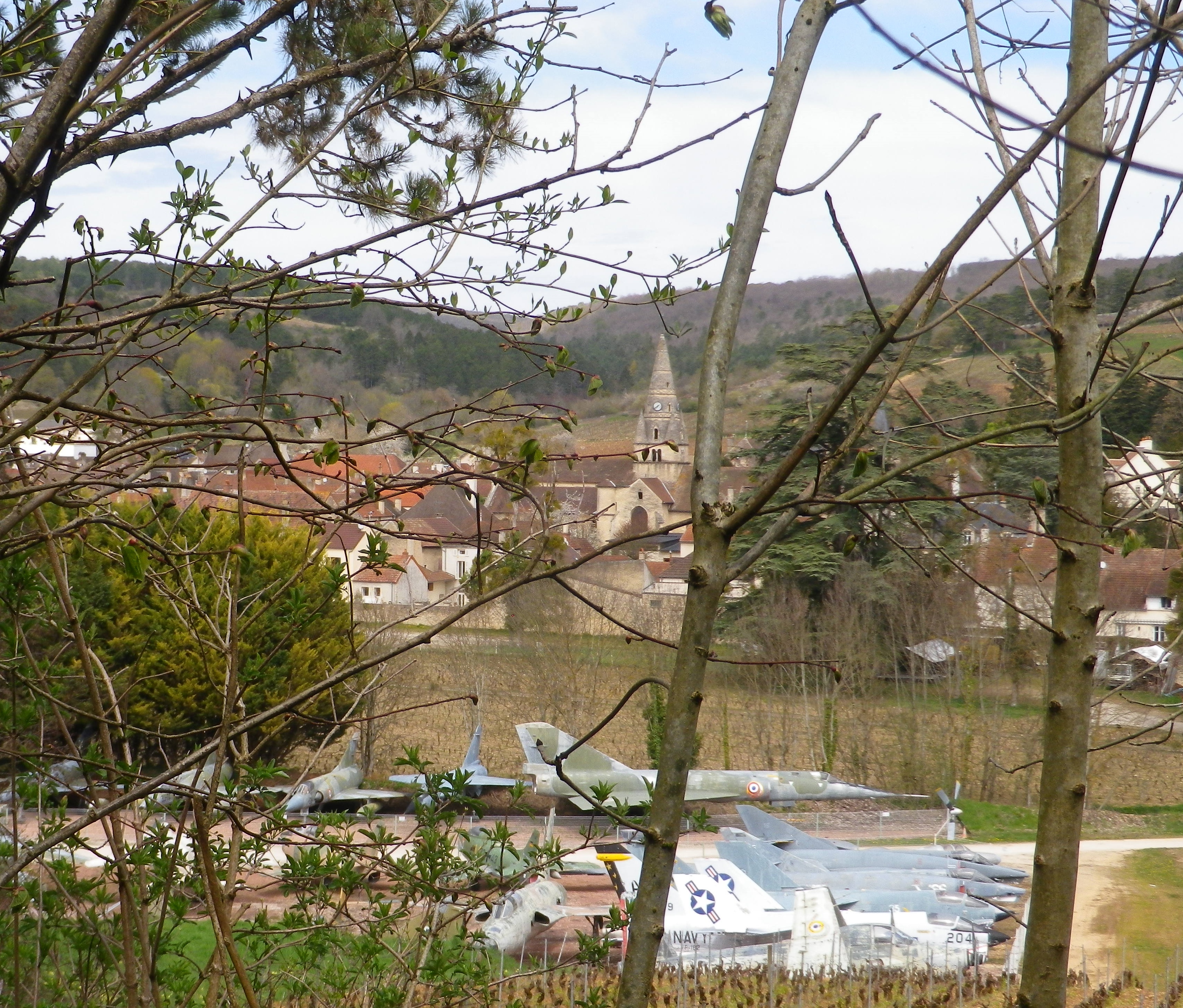
The Chateau de Savigny is many things. A winery, an historical site, a museum site with eclectic collections, including, but not limited to, displays on wine-making, motorcycles, old cars, and old fighter jets. Some of the last are visible from the trail, as it circles around the south side of town, back to the official start. Not something ordinarily seen on a vineyard trail! This final leg comes with another ascent, more vineyards, a delightful section of forest, and descent followed by a short meander along the Rhoin, providing a musical interlude.
Many people use Beaune as a staging point for visits to the nearby wine villages. But however good her wineries may be, Savigny, like so many other villages of the Cote de Beaune, must be savored with more than just a cursory tour of its wineries.
Wine Notes: Cotes de Beaune Savigny
What I Learned
The Burgundian wine region known as the Cote d’Or has a northern section and a southern section. Cote de Beaune is the name of the southern section. This part of the Cote d’Or famously produces some of the most esteemed white wines in the world, in addition to some very good red wines, which is the reverse of the northern section known as the Cotes de Nuits.
The Cote de Beaune is generally speaking more famous for its white wines, such as those from the crus in Meursault, or Puligny-Montrachet or Chassagne-Montrachet. However, Savigny-les-Beaune is known primarily for its red wines. Like Pommard, a bit further south in the same district, and also well-known for its reds, Savigny lies at the mouth of a transversal valley. This type of valley, formed by the Rhoin River in Savigny, crosses a crestline, the Cote d’Or, at right angles. Hence in Savigny, this means a narrow, fairly protected valley with steep sides, with west- and south-facing vineyards, ideal for vines.
While there are no Grand Cru in Savigny, there are just over 20 Premier Cru, perhaps the most well-known being Aux Vergelesses, at the border of the neighboring town Pernand-Vergelesses. The village has its own Village Appellation, Savigny-les-Beaune Controlee, as well as its Premier Cru Appellations, for both red and white wines.
The Pinot Noir wines of Savigny-les-Beaune have good aging potential. (In fact, one bottle I had purchased then stored, I only got around to drinking 11 years later, and found it soft, and rich in flavors and mouthfeel.) In any event, the wines in Savigny are good, representative Pinot Noir and Chardonnay wines, with as good a price-to-quality ratio as a wine lover is likely to find anywhere along the Cote d’Or.
What I Tasted
2014 Pinot Noir, Aux Grands Liards, Appellation Savigny-les-Beaune Controlee, Domaine Giboulot (Savigny): A dry red wine with medium red brick color; a floral and peppery spice nose, with forward flavors of vanilla, oak and red cherry flavors; medium tannins.
2008 Pinot Noir, Savigny-les-Beaune, Appellation Savigny-les-Beaune Controlee, Domaine Andre Morey: A dry red wine with medium plus brick red color; a nose of spice and light tobacco; flavors of vanilla, slight fruit, and a hint of herbaceousness; medium tannins. (Consumed in 2019!)
2007 Pinot Noir, Savigny-les-Beaune, Appellation Savigny-les-Beaune Controlee, Domaine du Chateau de Meursault: A dry red wine with light medium ruby red color; slight red berry and spice nose, with flavors of the same; medium plus tannins.
2006 Pinot Noir, Aux Clous, Appellation Savigny-les Beaune Premier Cru Controlee, Pierre Andre: A dry red wine with medium plus ruby red color; spice, red berry and wood nose, with stewed red berries and spice flavors; high minus tannins.
Chemin des Vignes: Trail in a Nutshell
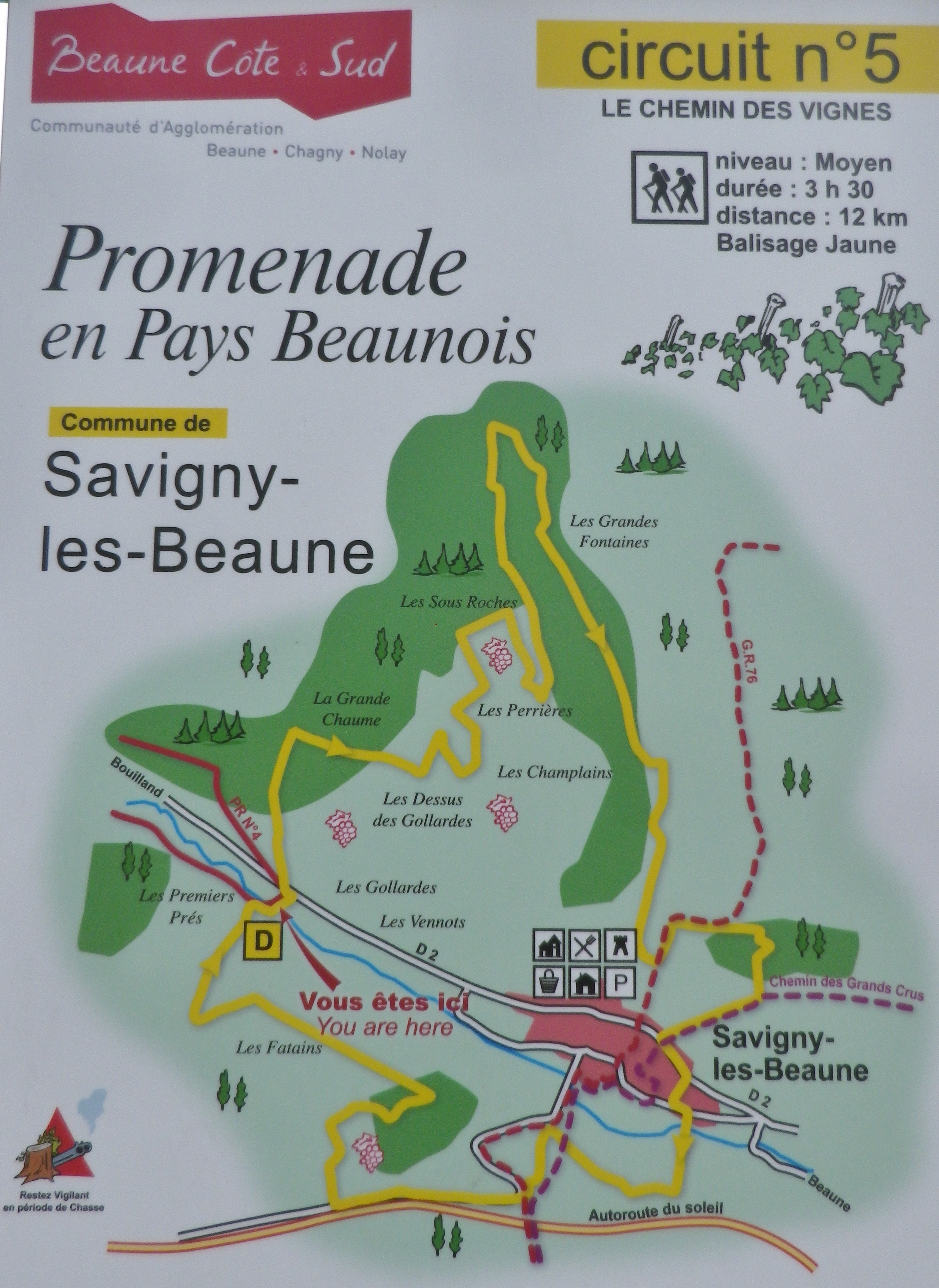
Trail Name: Chemin des Vignes (AKA : Circuit 5)
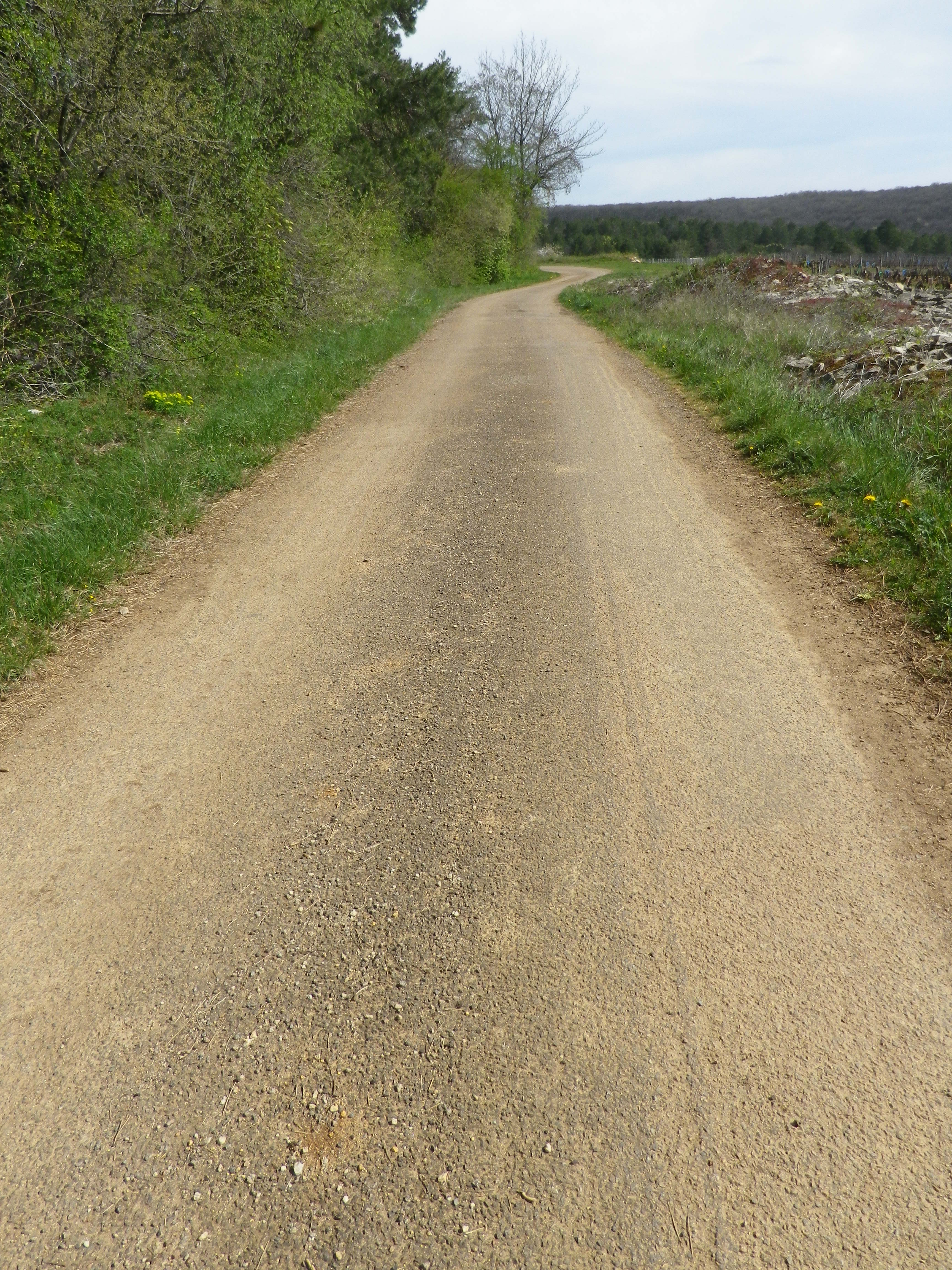
Trail Type: Mid-distance circuit; well-maintained and with a variety of surfaces from rough and scree to tarmac. While trail-specific signage can vary (see below), overall marking on the trail is rather good.
Length:
Total – 11.5 kilometers/7 miles
Convenient to: Beaune, France
Marking:
Painted yellow bar(s) indicating trail and/or direction, and sometimes a yellow number 5; the occasional yellow sign with a black number 5 on it; yellow signs on posts with black letters indicating PR 5.
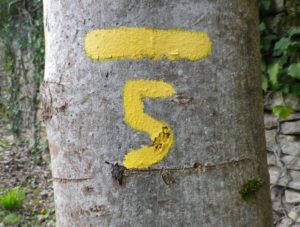
Trail Description: This trail has a great variety of terrain, elevation, scenery, and flora, all along a relatively easy circuit trail that circles the small town of Savigny-les Beaune and its well-known vineyards.
Trailhead:
Official: Savigny-les-Beaune, Rue des Chanterives
Alternate: Rue General Leclerc x Rue Soeur Gaby
Parking:
Savigny-les-Beaune: Rue des Chanterives x Route de Bouilland/D2(opposite camping site)
Savigny-les-Beaune: Limited parking along the street of Rue General Leclerc
Public Transportation Options:
Bus: The Cote&Bus company runs Line 10 round-trip from Beaune to Savigny-les-Beaune. It appears to service a school route, as well as commuters into Beaune, so be sure to check the website (www.coteetbus.fr) for changes or required reservations.
Rail: Nearest rail service is in nearby Beaune
Suggested Stages: Not applicable
Trail Itinerary-Reference Points: (North-South/Clockwise)
Savigny-les-Beaune: Chemin des Vermots, also seen on some maps as Chemin de la Grande Chaume, right onto a straight trail through woods all uphill, vineyards, then a long stretch through forest; Cross Chemin de Citeaux, along the Combe de Barboron (a vale), follow R du Jarron about 150 meters uphill, turn right through vines, then forest; downhill between walls to picnic table, downhill on the agricultural road/C7; Savigny-les-Beaune: southeast on R Dr. Guyot/D2, R des Porches, R Soeur Gaby, cross the creek and continue straight onto a grass path), past sports fields (fighter jet collection on the right), R des Combattants, R Chanoine Donin-Chemin des Carrieres, parallel the highway for about 400 meters; through forest; downhill on R des Fatains, R des Petites Chanterives
Representative Trail Photos:
Restrooms:
None observed!
Attractions on or near Trail:
Chateau de Savigny has a museum with collections pertaining to wine and agricultural vehicles, as well as Abarth racing vehicles and fighter jets.
Tasting along the Trail:
Several wineries in town, and at the chateau.
Alternative Options:
Hiking: Beaune has several hikes around its vineyards, just south of Savigny. For an idea of one of them, see the Nutshell here. See others at http://www.beaune-rando-vigne.com/fr/circuits-vignoble-beaune/
Biking: Veloroute Voie des Vignes, an approximately 30-kilometer-long trail from Beaune to Santenay to Nolay, mostly on dedicated bike path!
Additional Information:
Regional: https://www.beaune-tourism.com/
Trail specific: https://www.beaune-tourism.com/ideas-for-round-trips/circuit-5-the-chemin-des-vignes-vine-route-615157
Comments:
A great hike for even people only moderately in shape, in an unspoiled Cote de Beaune wine village.
