Tag Archives: Champagne
Three by Three
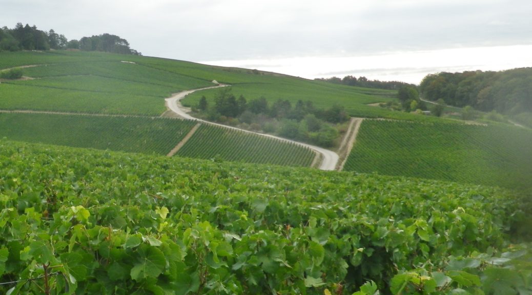
In the southern Champagne region, there is a village, composed of three hamlets: Ricey-Bas, Ricey Haut, and Ricey Haute Rive, collectively known as Les Riceys. There are three trails hikers may choose from that meander in and around the village. These three hamlets, and three trails, provide visitors an opportunity to experience rural, agricultural France, in one of the largest (most extensive) vineyard sites in Champagne.
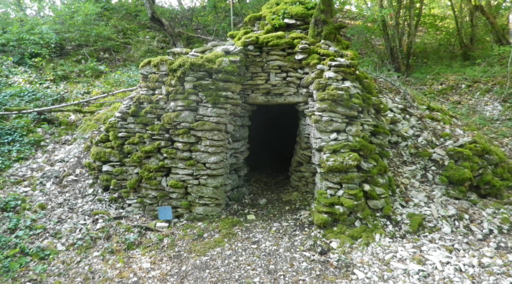
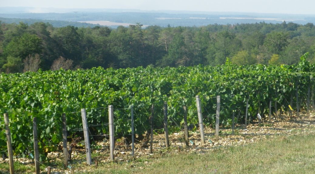
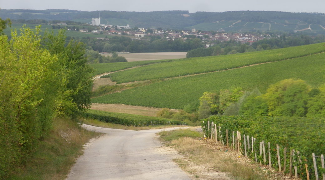
From the starting point in a parking lot, I was struck by the almost 360-degree view of the rather rocky hills of this area. In fact, piles of rock appeared everywhere along the trail, and they were not of just the cadoles. This trail focuses on the vineyard areas and the cadoles, centuries-old, round, dry stone wall huts found nearby. These were formerly used by vintners for storage and as respite from the weather.
Wine Notes: Les Riceys Champagne
What I Learned:
Champagne can only come from Champagne, the wine region, about 90 miles from Paris. In spite of its proximity to “gay Paris,” champagne did not enjoy great fame until fairly recently. Although grapes were cultivated in the region as early as Roman times, the often cold, foggy climate worked to ensure that grape ripening was not consistent from year to year. Hence the wine was not always good, or available.
At the turn of the 20th century, what constituted the champagne producing area of Champagne was a contentious question. And in 1911, it provoked massive riots. At issue was the right of the wine-makers of the southern Champagne region, in the department of Aube, to use the champagne appellation for the sparkling wines made from their grapes. It wasn’t until 1927, that this district, known as the Cote des Bars, finally gained Champagne appellation status.
Entre Vignes et Cadoles: Trail in a Nutshell
Trail Name: Entre Vignes et Cadoles (au Depart des Riceys)
Trail Type:
A short-distance circuit; mostly well-maintained and with mostly hard surfaces (hard packed or paved), marking on the trail only occasional.
Length:
Total – 6.6 kilometers/4 miles
Convenient to: Troyes, France
Marking:
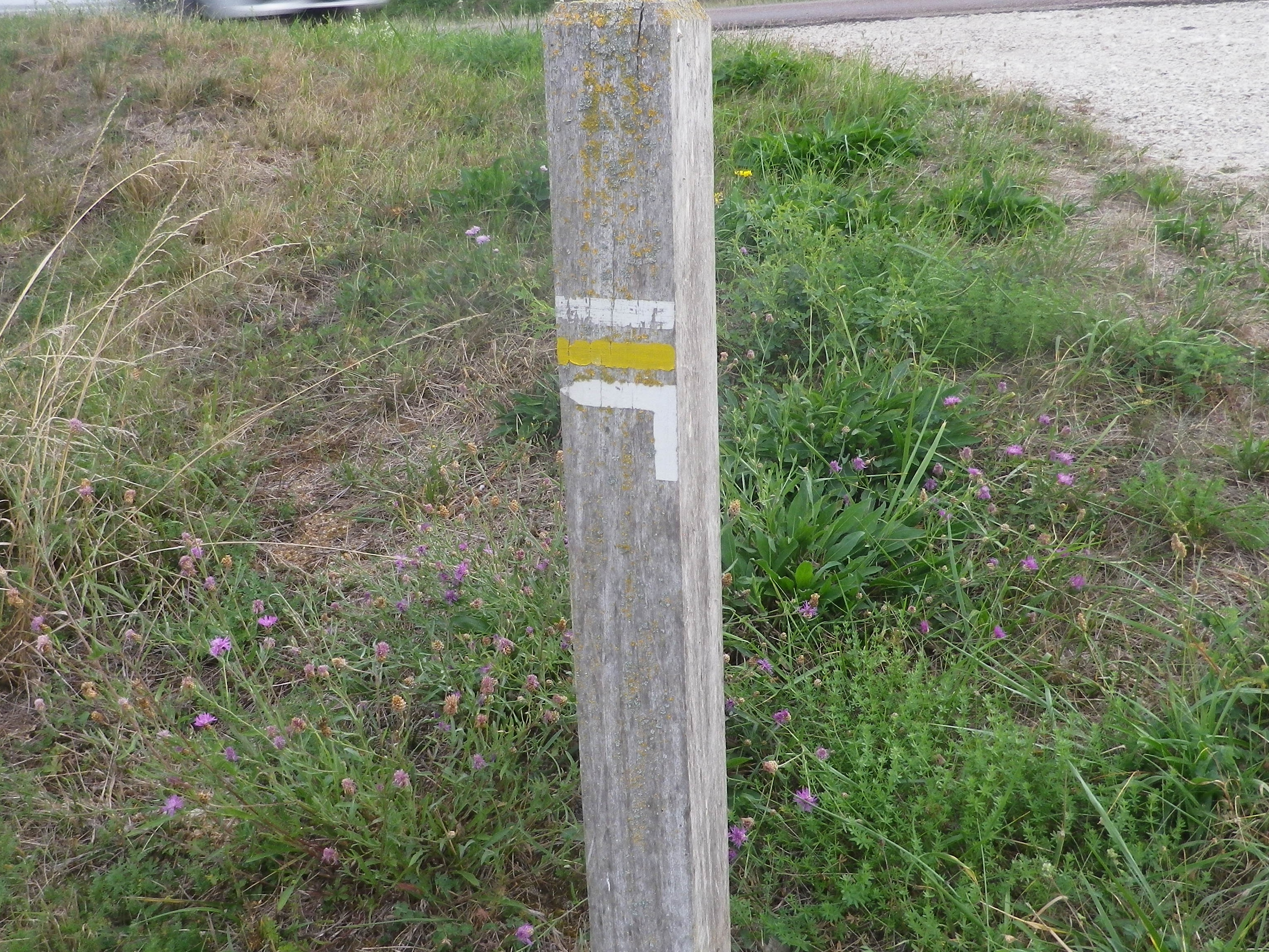
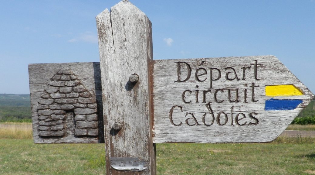
Yellow horizontal bars, or blue horizontal bars, sometimes together. (See the sign above.)
Continue reading Entre Vignes et Cadoles: Trail in a Nutshell
Gallery September 2021
The Other Champagne
Far from Reims and Epernay, there is another Champagne. Not one of grand houses, and wealthy luxury firms. This district is a quiet, country-based one, and very much in touch with its roots. This is the Department of the Aube, close to Champagne’s border with Burgundy, with which it shares a passion for terroir. It was the terroir and the family run champagne houses here that I came to visit.
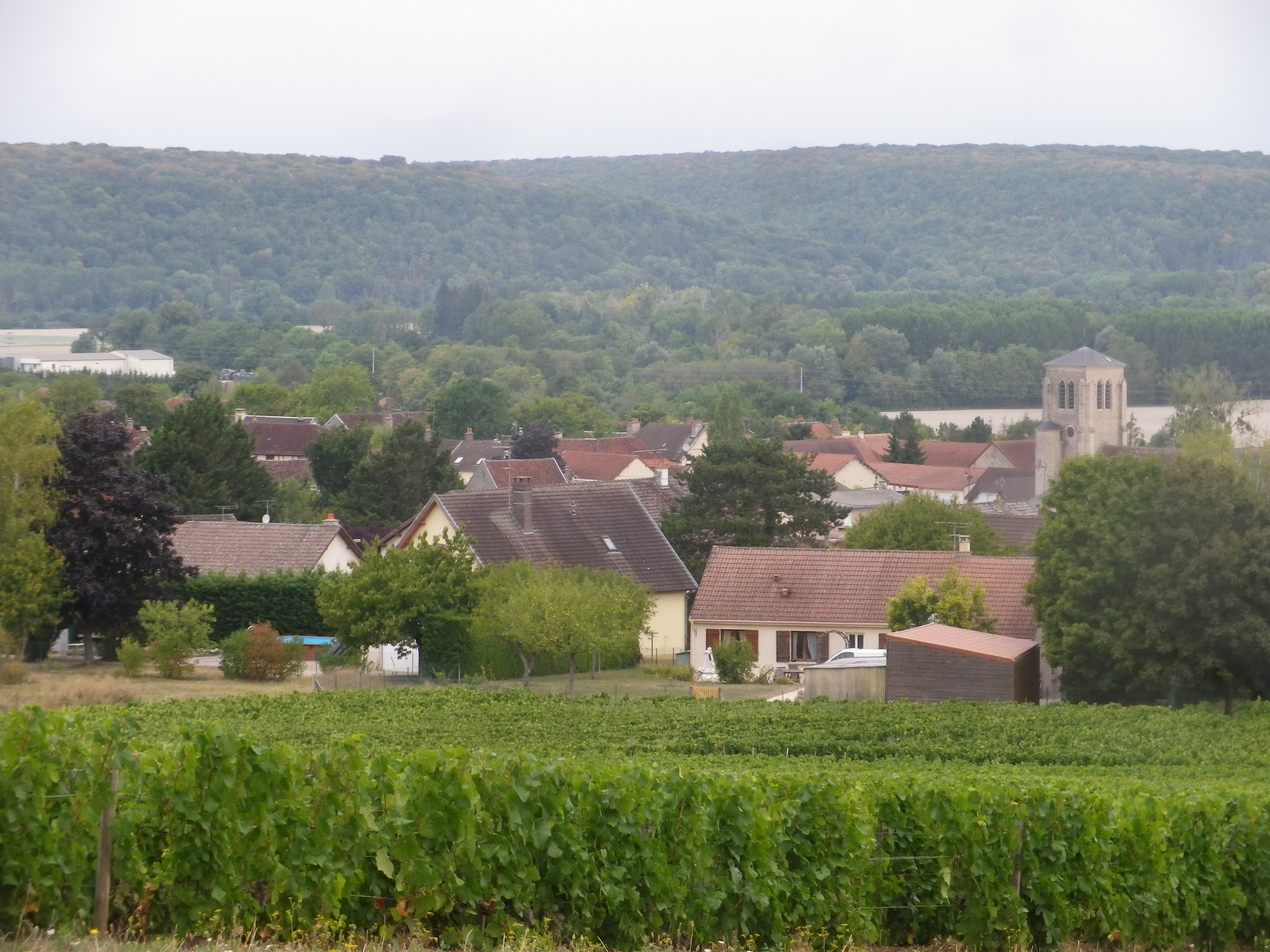
The Cote des Bars wine district lies between the small towns of Bar-sur-Seine and Bar-sur-Aube. The vineyards lie mostly on south-facing slopes. It is a very tranquil area, ideal for easy, relaxing hiking adventures. The trail I hiked was in a small village just south of Bar-sur-Seine. Celles-sur-Ource, like Bar-sur-Seine and Bar-sur-Aube, follows along a river, the Ource. This tiny river is a natural watershed for the area, and the trail took advantage by crossing it a couple of times, which provided nice opportunities to walk along the gently flowing waters.
Wine Notes: Champagne Cotes des Bars
What I Learned
Champagne, the sparkling wine, can only come from Champagne, the region, about 90 miles northeast of Paris. Although grapes were cultivated in this northern region of France as early as Roman times, the often cold, foggy climate worked to ensure that grape ripening was not consistent from year to year. Hence ripe grapes in Champagne were sought high and low to add to the big houses’ champagne blends.
But what constitutes the champagne producing area of Champagne? That was a contentious question at the turn of the 20th century. In 1911, such a question provoked massive riots. At issue was the right of the wine-makers in southern Champagne to use the champagne appellation for their sparkling wines made from their grapes.
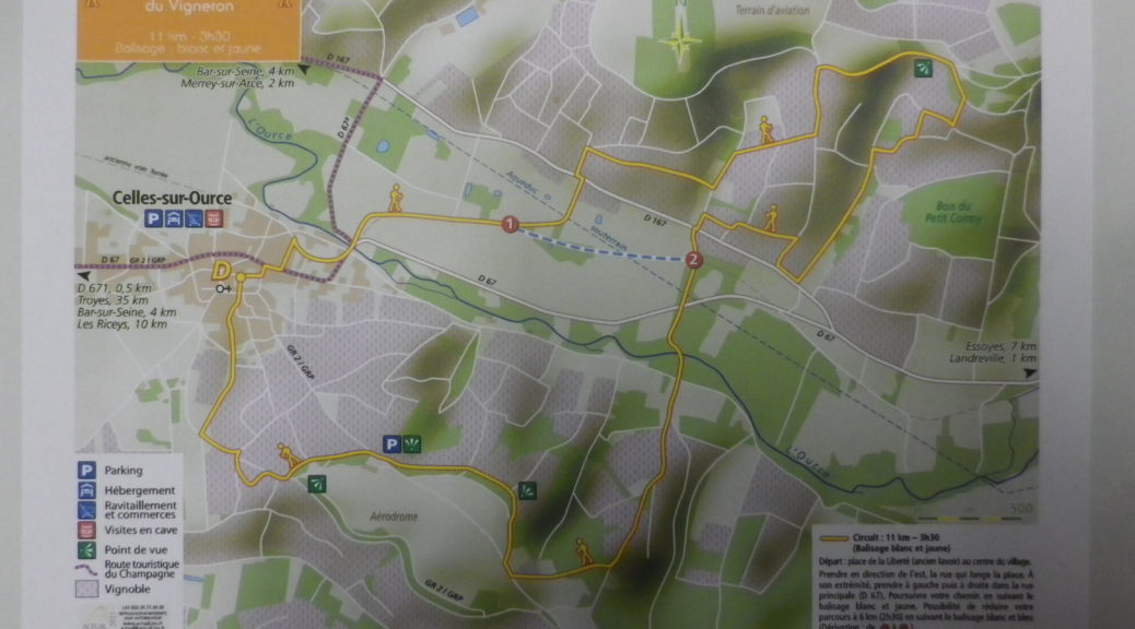
Chemin du Vigneron: Trail in a Nutshell
Trail Name: Chemin du Vigneron (Wine-maker’s Trail)
Trail Type: Mid-distance circuit; well-maintained with hard (paved or packed earth) surfaces; marking for this itinerary is fairly consistent throughout, (but was missing in a couple of places in 2019).
Length:
Total – 11 kilometers/6.8 miles
Convenient to: Troyes, and Bar-sur-Seine, France
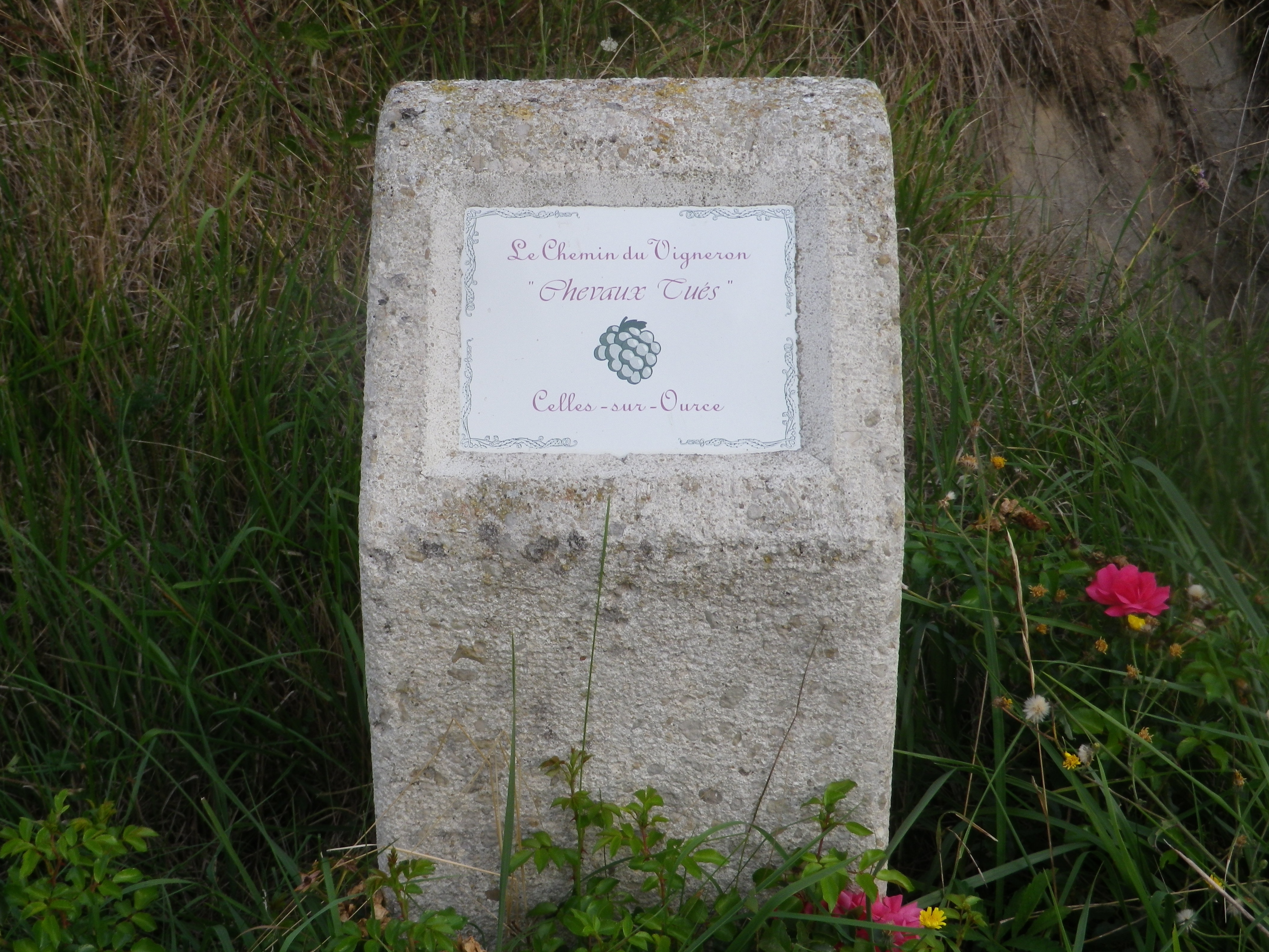
Marking: Yellow bands and white bands, as well as informative concrete posts in vineyards marking named vineyard areas
