Trail Name: Reben Tour
Trail Type: Mid-distance circuit bicycling itinerary; well-maintained with hard (paved or packed earth) surfaces; no marking for this itinerary.
Length:
Total – 40.7 kilometers/25 miles
Convenient to: Basel or Rheinfelden, Switzerland
Marking: None specific to the itinerary
Trail Description: While starting in a small city, this trail leads uphill to the hinterlands above the Rhine, through a variety of agricultural landscapes (orchards, fields, vineyards), as well as through forests and riverlands. No doubt the hills will be challenging to many, given the numbers of them, (even though the gradients never got above the 8-10 percent range), due to the length of some of them.
Trailhead:
Official: Rheinfelden: Olsbergerstr/Rueschelenhaldenweg x Bergweg
Mine: Train station to Alleeweg to the official start
Parking:
Rheinfelden center: None free, but parking garages and lots, one of each on Schutzenweg, closest to the trail;
Rheinfelden outskirts (Riburgerstr): Park and Pool (at the traffic circle) (24-hour restriction), Sportanlagen Schiffacker
Arisdorf: Parking Kaenelmatt on Kaenelmattstr
Public Transportation Options:
Information for both rail (Basel to Rheinfelden or Liestal), and bus services from these towns to the villages listed below, may be found at the Tarifverbund Nordwestschweiz (TNW) website at tnw.ch/fahrplan-liniennetz/online-fahrplan (as of October 2020)
Suggested Stages: Not applicable
Trail Itinerary-Reference Points: (Counterclockwise)
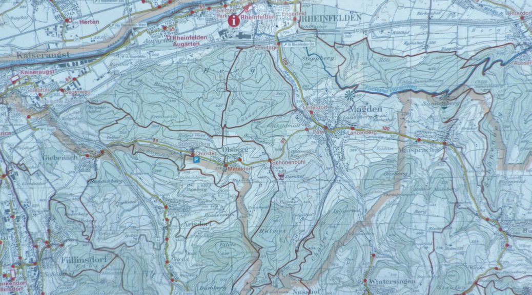
Rheinfelden: Forest trail, Rheinfelderweg, Rheinfelderstr; Olsberg: downhill through fields and vineyards, Hofgutweid, through Chloster grounds (formerly Olsberg Cloister), Hagachermatt, Hauptstr; Arisdorf: Arisdorferstr, Olsbergerstr, Hauptstr, Winkel, Kaenelmattstr, underpass beneath highway, fields, Arisdorferstr; Fuellinsdorf: Obererhofackerstr, down a flight of stairs at Obererhofackerstr x Huempelweg, Liestalerstr; Uetental: Uetentalweg, Suttenbergweg, Oberer Burghaldenweg, Erzenbergstr; Liestal: Gaststr, Rheinstr, path to Kasernenstr, Militaerstr, Kasinostr, over highway, Heidenlochstr; Lausen: Gartenstr, Weiherhofstr, Ringstr, Apfelhurststr-Edletenweg, up the mountain to Waldhuette Edleten, through woods for a while; Hersberg: Hersbergerstr, Hauptstr; Nusshof: Hauptstr, left onto Sissacherstr, Breitenhof path to Wintersingen; Wintersingen: Im Graben, Hauptstr, Buelweg, Dorfmattstr, fields, Rickenbacherstr briefly, then fields along the ridge overlooking town; Buus: Wiebentalweg, Hauptstr, Laigweg, path paralleling Hauptstr; Maisprach: Buuserstr, Magdenerstr, Hauptstr; Magden: bike path to Salzackerweg paralleling Hauptstr, Buenn-Sonnenplatz, Hauptstr, Bruelstr, Waldweg, Mooshaldenweg
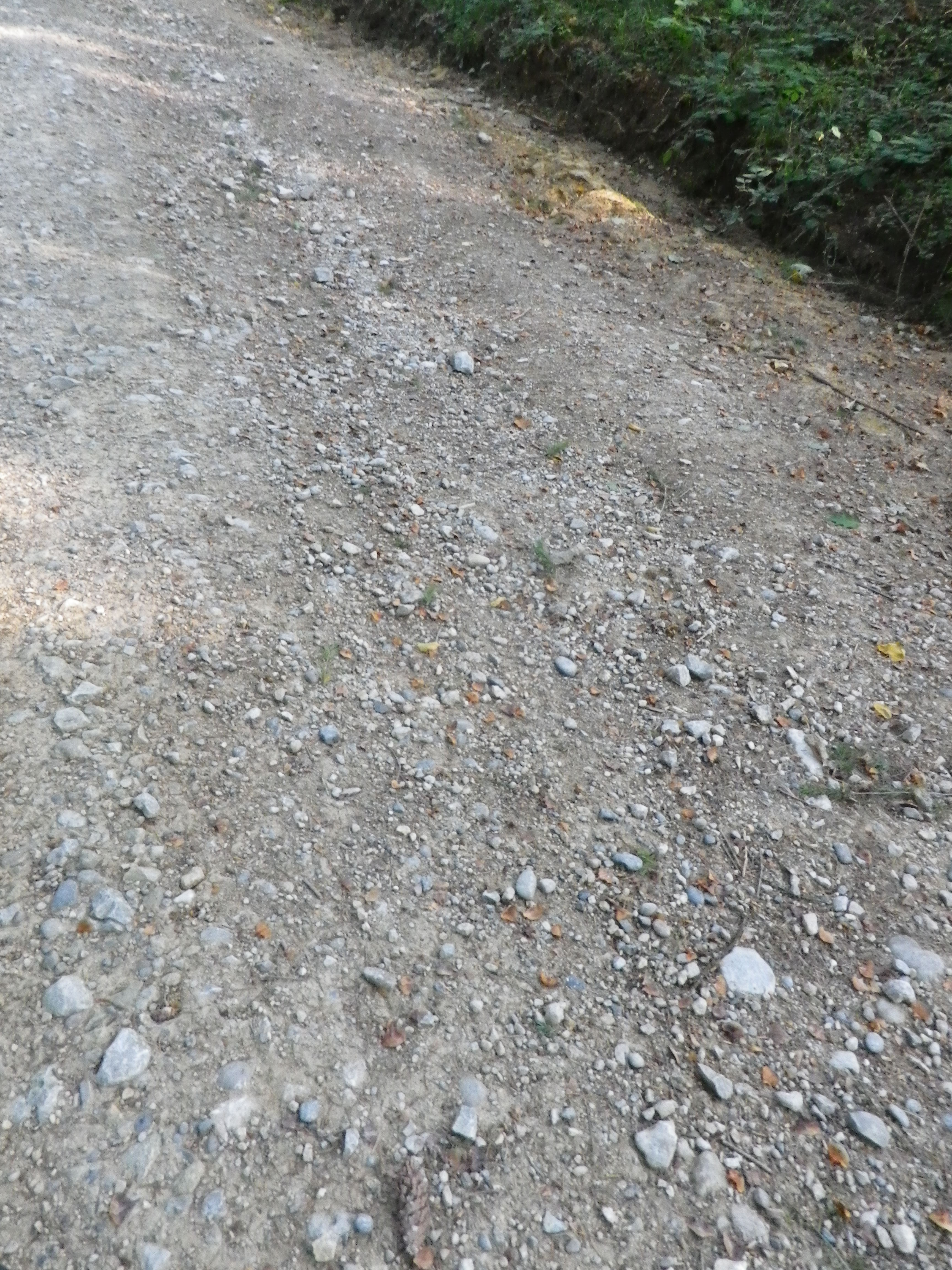
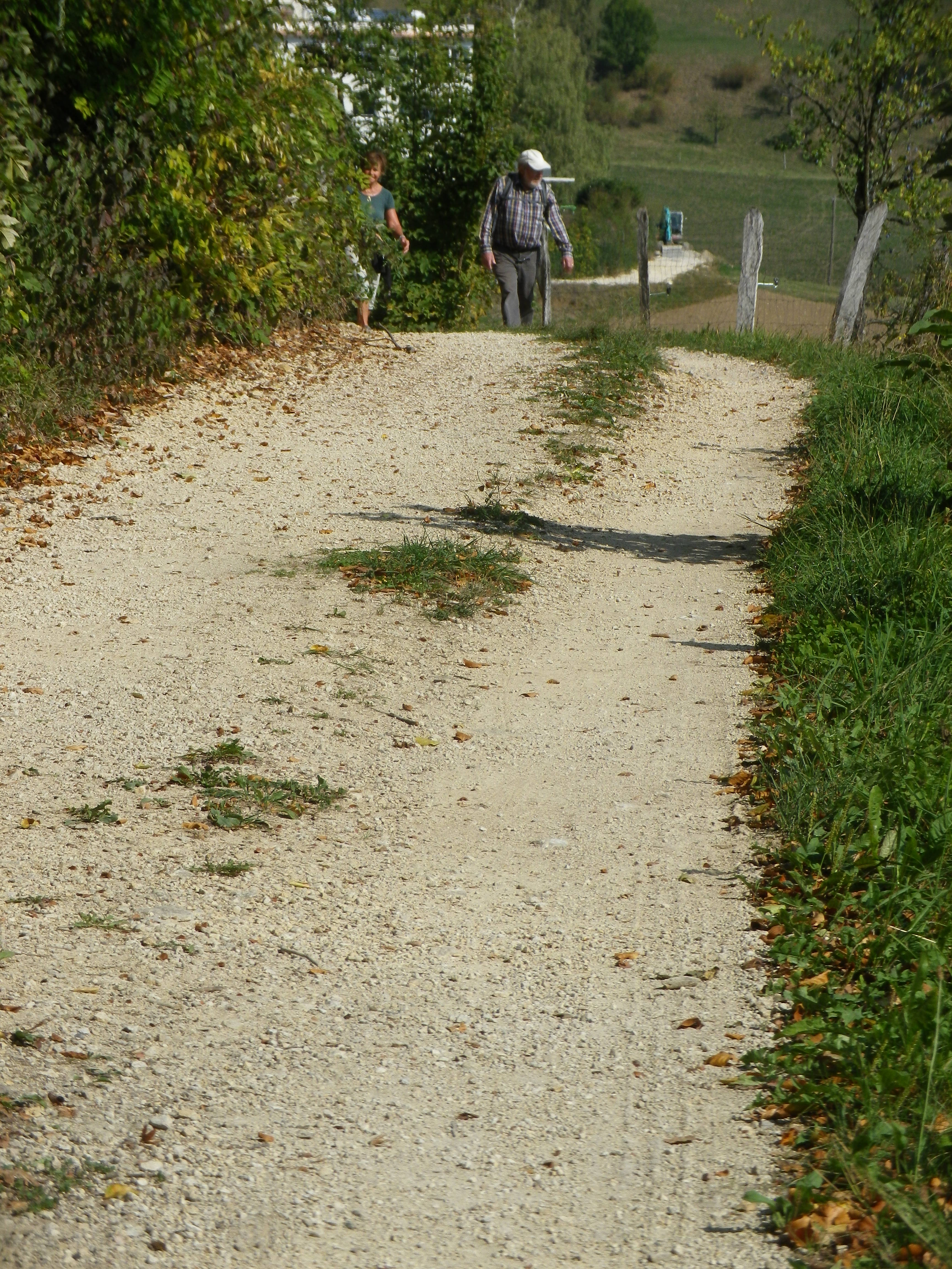
Representative Trail Photos:


Restrooms:
Rheinfelden: Froeschweid, a pay toilet by the parking garage (Only one seen, and not on the trail!)
Attractions on or near Trail:
Nothing wine-themed, other than the tranquil scenes of vineyards!
Tasting along the Trail:
Magden, Maisprach Buus and Wintersingen all have taverns serving local wine, although hours are limited. Olsberg also has a tavern, the Weinresidenz, in the village center. The larger towns, Rheinfelden and Liestal both have lots of cafes and restaurants that sell wine by the glass, although they might not be local. Liestal has the Siebe Dupf Kellerei, which is a cellar vinifying grapes from local farmers, and has a shop open Monday through Saturdays all day!
Alternative Options:
Hiking: The 13-kilometer long Syydebaendel & Rebenweg, trail (not a circuit!) from Maisprach to Wintersingen, through mostly vineyards and fields.
Additional Information:
Regional: https://www.baselland-tourismus.ch/
Trail specific: https://www.baselland-tourismus.ch/erleben/velofahren-mountainbiken/ausgesuchte-velotouren/reben-tour
Comments:
A delightful, even if somewhat challenging, itinerary through this little-known wine area of Switzerland, with its peaceful, rural landscape.
