Trail Name: Stadtwanderweg 5
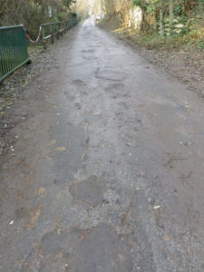
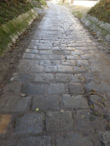
Trail Type: Mid-distance; almost exclusively paved with paving stone or tarmac, well maintained, and very well-marked.
Length: Total: 10.3 kilometers/ 6.3 miles
Convenient to: Vienna, Austria
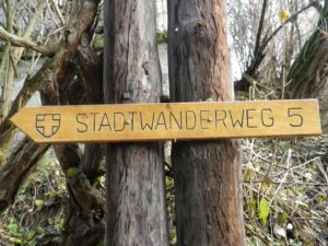
Marking: (Mostly) Wooden signs with the words: Stadtwanderweg 5

Trail Description: A gentle trail, family, (and along much of its length, baby-carriage friendly), through the old part of the village of Stammersdorf, edging along the vineyards of Bisamberg (from which slope come many of the wines supplied to Vienna), to the top of the Falkenberg hill (from which you can (probably) see on a clear day), and back down into Stammersdorf. In, and just outside the built-up area of Stammersdorf, there are many old, and new, wine taverns.
Trailhead: Stammersdorf: Bahnhofsplatz
Parking: Stammersdorf: Senderstrasse, large parking lot opposite the Stammersdorfer Kellergasse junction
Public Transportation Options:
Tram: S 31 from the center of Vienna (Stubentor) to Stammersdorf (end of the line)
Subways and Buses: Find more information about Vienna’s extensive and very efficient public transport system at www.wienerlinien.at
Suggested Stages: Not applicable
Trail Itinerary-Reference Points: (clockwise)
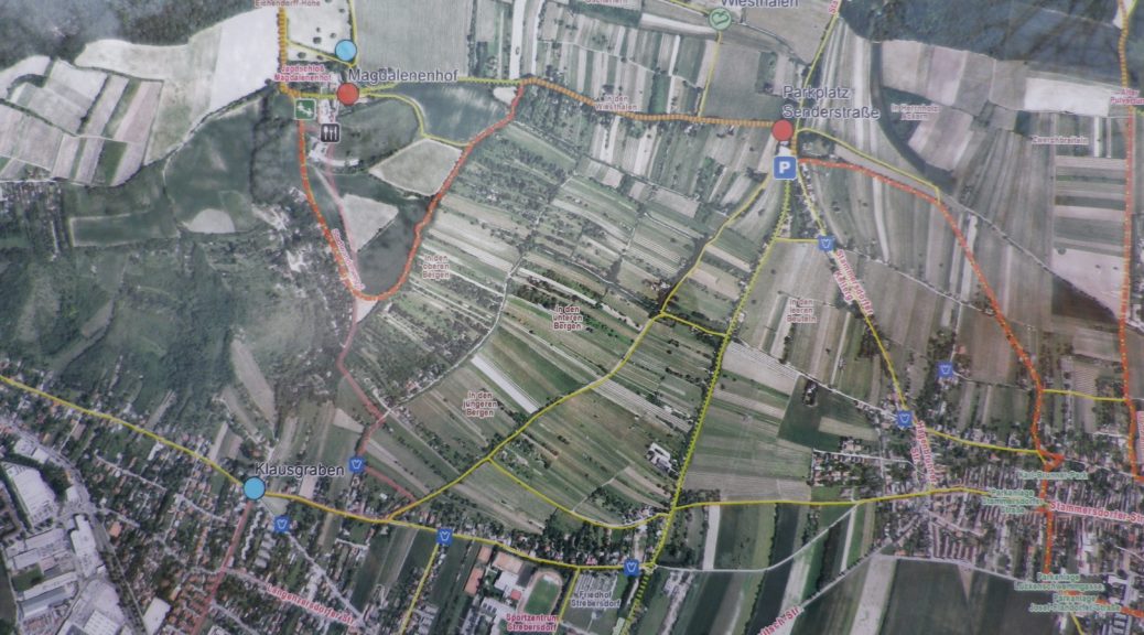
Stammersdorf: Bahnhofsplatz-Josef-Flandorfer-str-Luckenschemmgasse, past the church, Clessgasse- Stammersdorfer Kellergasse-Sendergasse, past the parking lot; turn left onto large sloping meadow, Oberer Weg, Magdalenenhof, and continue to Kallusweg, follow treeline, Im Broschaeckern; Cross Hagenbrunner/Stammersdorfer – strasse to Mitterhaidenweg; Luckenholzgasse-Clessgasse-Schmiedgassl-Stammersdorferstrasse, Bahnhofplatz.
Representative Trail Photos:


Restroom: Stammersdorf: Bahnhofplatz, at the last tram stop. (Clean, free, and right at the start of the trail!)
Attractions on or near Trail:
Tasting along the Trail:
Stammersdorf: Several Heuriger (wine taverns) on Stammersdorferstr
Gasthof Magdalenenhof (about half-way along the trail)
Alternative Options:
Running: This trail is suitable for running throughout its length.
Additional Information:
Regional: https://www.wien.info/en
Trail (segment) specific: https://www.outdooractive.com/de/wanderung/wien/wiener-stadtwanderweg-5/100801283/
Comments:
Extremely easy to reach using public transportation from the center of Vienna.
Very easy trail, and a nice alternative to city-touring when in Vienna.
With a couple of minor modifications, the trail could be baby carriage-friendly (and a bit shorter). (Remain on Senderstrasse from the Parkplatz Senderstrasse to the Magdalenenhof; and avoid Mitterhaidenweg by turning right (vice left) once at Hagenbrunnerstrasse, to follow In dem Gabrissenen to where it rejoins the trail on Luckenholzgasse.)
