Wine Notes: Steigerwald’s Castell

What I Learned

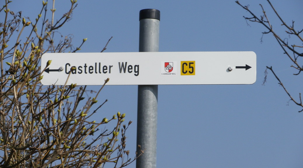
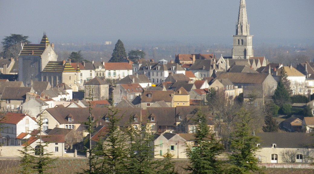
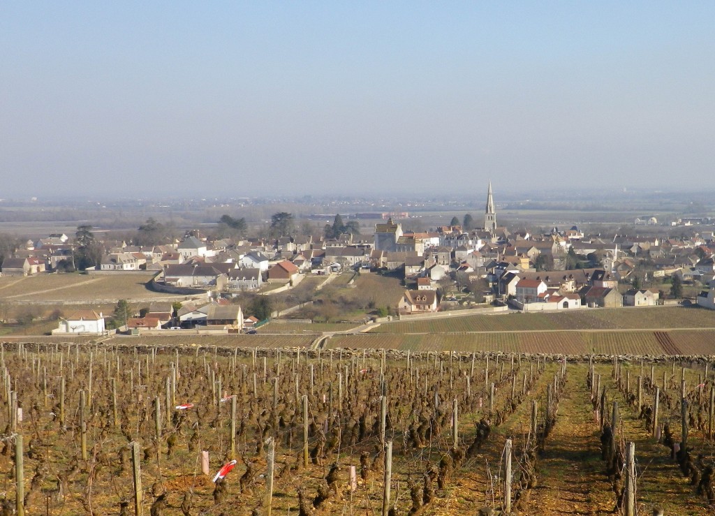
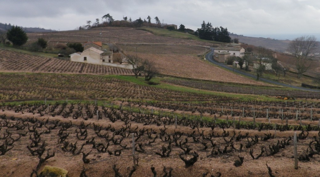
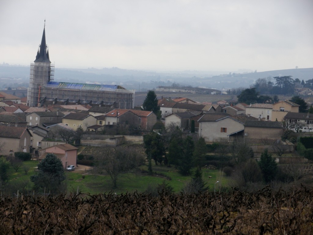
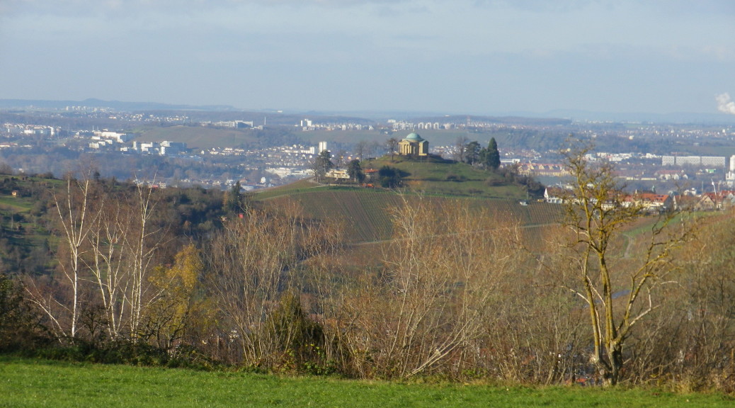
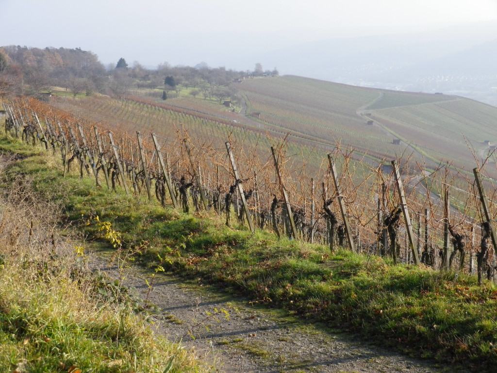
This post focuses on the Steigerwald district of the Franconian wine region, and more specifically on the village of Castell.

The Franconian Wine Region has three distinct wine districts: The Mainviereck, the Maindreieck and the Steigerwald. Unlike the first two, the Steigerwald wine district is not located along the Main River. This means that the climate-moderating effects of a river do not apply here. And since here is in central Germany, spring frosts can come later, and fall frosts can come earlier, then elsewhere in this region.

Continue reading Wine Notes: Steigerwald’s Castell

Casteller Wine Walks: Trail in a Nutshell


Trail Name: Casteller Weinspaziergaenge

Trail Type: One circuit of the outside segments of four shorter wine hiking circuits; gentle inclines on either paved, or hard-packed surface; well maintained and mostly (but not always) marked with the circuit name.

Length(s):

Large Trail: Casteller Weinspaziergaenge: circa 12 kilometers/ 7.5 miles

Segments: (each circuit total)

Greuter Bastel Circuit: 7.6 kilometers/ 4.75 miles

Schlossberg Circuit: 2.3 kilometers/ 1.4 miles

Hohnart Circuit: 2.5 kilometers/ 1.5 miles

Kugelspiel Circuit: 4 kilometers/ 2.5 miles

Convenient to: Kitzingen, Germany

Marking: Varies by circuit name, although “Casteller Weg” follows the outside edges of the inclusive circuit around Castell, and is mostly identical with Casteller Weinspaziergaenge. (See photo above for signage.)

Continue reading Casteller Wine Walks: Trail in a Nutshell

Meursault: A Study in Chardonnay


My last trip to Burgundy’s Cote d’Or region focused on the northern part, the Cote de Nuits, and its red wines; therefore, I devoted this trip to the southern part, the Cote de Beaune, and its delicious white wines.

Meursault is a small town that has given its name to some of the best known Burgundy white wines in the world. Its wine makers produce Chardonnay exclusively. To gain familiarity with its Chardonnay terrain, I chose one of 16 trails in the area, the one that took me through Meursault, its vineyards, and nearby villages.

Meursault and its Vineyards

Continue reading Meursault: A Study in Chardonnay

Wine Notes: Meursault


What I Learned:

This post is about Chardonnay, the grape and the wine, and its unique expression in the area around Meursault, in the heart of white Burgundy wine country.

Chardonnay is an adaptable grape. It tolerates a diverse range of soils, and climates. Consider its range: from Washington State to China, and below the equator too, from South Africa to Chile and then Australia. Within Europe, a key northern location is in the cool, rainy Champagne region, where it usually comprises part of a champagne blend, whereas a major southern Chardonnay viticulture center is in hot, dry southern Sicily.

Continue reading Wine Notes: Meursault

Meursault: Trail in a Nutshell


Trail Name: Promenade en Pays Beaunois Circuit 14, Monthelie; aka Sentier des Buis. (“PR n 14” is seen also on signs)

Trail Type: mid-distance circuit; surfaces vary from asphalt, to hard-packed earth, to rough trails; the route is fairly well-marked, but a map is definitely handy.

Length: total: 12 kilometers/7.5 miles

Convenient to: Beaune, France

Marking: Small yellow rectangular signs “Pays Beaunois 14”, then painted rectangles or arrows (on a variety of surfaces (rocks, trees, posts) indicating the direction to follow. Signs, as in the featured image above, also indicate a specific location and direction to continue.

Pays Beaunois Circuit 14 Sign

Continue reading Meursault: Trail in a Nutshell

A Flowery Winter Hike


Fleurie means flowery, which this village undoubtedly is in spring and summer. But on my winter weekend break it was wet and windy. The weather only worsened as time went on. The rain turned into downpours. But after almost two days of rain, the forecasts called for a two to three-hour break in the rains. I decided to embark on one of Fleurie’s four circuit trails before leaving the area. Four great trails, seemingly designed for someone like me: wanting to hike, but with some time constraints. A great and convenient feature of the Entre Vignes et Bois (Between Vines and Woods) series of trails in Fleurie, is this: They are circuits that radiate out from the village in increasingly wider circles. Therefore, hikers can choose between one or another depending on time, capabilities, or in this case, weather.

Optimistically choosing the 12 kilometer (red) circuit, I set off from the Place de l’Eglise. But within 10 minutes, rain began to fall. A quick look at the sky confirmed that thick black clouds were rolling in faster than anticipated. So I switched to the four kilometer circuit instead. It was an easy decision to make on the spot. Should the downpours suddenly return, the map showed that this circuit also allowed for a couple of possible shortcuts, on tarmac, no less. This kind of flexibility created by interconnectivity is another great feature of the Entre Vignes et Bois trail series.

Village of Fleurie
Village of Fleurie

Continue reading A Flowery Winter Hike

Wine Notes: Beaujolais


What I Learned

Beaujolais falls within the wine region of Burgundy, although it is outside the political boundaries of the region. It has three different quality levels: a simple Beaujolais produced in the southern-most reaches of this area; a Beaujolais-Village appellation; and in the northern part of this wine region, ten villages with their own appellations due to their special crus. It is a singular geological area of often steep hills and hidden valleys. Schist and granitic soils in the Beaujolais give a distinctive minerality to the wines. The best of these wines, the ten villages/areas of appellation (Brouilly, Chenas, Cote de Brouilly, Chiroubles, Fleurie, Julienas, Morgon, Moulin a Vent, Regnie, Saint-Amour) offer good value for quality wines. Overall, there are 12 different appellations within the Beaujolais region to look for on a bottle label.

Continue reading Wine Notes: Beaujolais

Entre Vignes et Bois: Trail in a Nutshell


Trail Name: Fleurie – Entre Vignes et Bois

Trail Type(s): A series of four circuits, short, medium and long distances, circling out from Fleurie (in the Beaujolais district); trail surfaces partly paved, partly hard-packed, otherwise grass or earthen surfaces (sandy or compacted); Route(s) mostly marked.

Length(s):

Total: 4, 12, 16 and 25 kilometers/2.5, 7.5, 10, and 15.5 miles respectively

Convenient to: Lyon, France

Marking: Colored rectangles (blue, for the four kilometer circuit; red for the 12 kilometer circuit, green for the 16 kilometer circuit, and yellow for the 25 kilometer circuit.), some with arrow to indicate direction; and sometimes a square placard with the words “Entre Vignes et Bois” and a bunch of grapes and a grape leaf.

Entre Vignes et Bois Circuits Sign

Continue reading Entre Vignes et Bois: Trail in a Nutshell

Green Creek and Red Mountain Land


Posts last month (here) detailed the first three stages of my hike through the southern-most portions of the Wuerttembergische Weinwanderweg (W4, for short), using only public transportation from Stuttgart. I ended the first half of my intended stages at the small town of Remshalden. This post (and the Nutshell) covers the remaining stages, passing through the wine growing area of Remstal, all the way to the historic city of Esslingen.

First Vineyards of the Remstal

Continue reading Green Creek and Red Mountain Land

Hiking and Biking European Wine Country