Wine Notes: Franconia’s Silvaner


What I Learned

Along the Main River in Franconia (Franken, in German), there are three wine districts of good repute: Maindreieck, Mainviereck, and the Steigerwald. This post focuses on the Maindreieck district only.

The Main, flowing basically from east to west, is a tributary to the Rhine River. The river makes three consecutive and dramatic curves close to the heart of Franconia, essentially going from east-west, to north-south, then south-north by Ochsenfurt, before curving roughly east-west again. The Maindreieck is thus a triangle (Dreieck) of land surrounded on three sides by the Main River. This area has become a paragon of viticulture in south central Germany. The most important and undoubtedly best-known town for wine culture in this area is Wuerzburg.

In Franconia, Riesling is not king, as it is in many other wine-growing regions of Germany. Silvaner plays that role here. In fact, it is one of the most important varietals for this particular area. Known officially in Germany as the Gruener Silvaner (Green Silvaner), genetically-speaking it is the same varietal as the less widely spread Blauer and Roter (blue and red) Silvaner mutations. Franconian vintners have grown Silvaner since the 17th century. Like the river, it came to Germany from the east, Austria, and moved westward, as far as the Rhein-Hessen wine region. It now grows even in the United States. The first definitive reference to it in Germany occurred in Eisenheim (location of a “Silvaner” trail), thus this small Franconian village is known as its German birthplace.

Many locals prefer Silvaner over Riesling. I find it the perfect spring-time wine. Slightly cooled, it has ripe stone fruit and fresh green grass/herbaceous flavors with a hint of minerality, with less acidity and  a fuller mouthfeel than Riesling. Perfect for sunny but cool days when a Riesling’s bracing acidity could produce a chilly versus a warm overall sensation. Analogous to the season, it is usually produced to drink young, and those lucky enough to have a bottle of this wine should probably drink it within a couple of years.


What I Tasted

2017 Silvaner, Kabinett, Trocken, Praedikatswein, Weingut Hirn (Eisenheim): A dry white wine with medium minus white gold color, floral nose with a hint of spice; surprisingly neutral on the palette; smooth mouthfeel with medium acidity.

2017 Blauer Silvaner, Obereisenheim Hoell, Kabinett, Trocken Deutscher Praedikatswein, Weingut Kramer (Eisenheim): A dry white wine with medium minus gold; on the nose a spiciness reminiscent of cardamom, with floral, green wood, and spicy mustard flavors; medium plus acidity, with a full but tingly mouthfeel.

2015 Silvaner, Spaetlese, Grosse Gewaechs, Trocken, Praedikatswein, Weingut Hirn: A dry white wine with medium yellow gold color, spice cinnamon, vanilla, floral; cantaloupe, vanilla, apricot; medium acidity.

2016 Blauer Silvaner, Trocken, VDP Gutswein, Weingut Arnold (Randersacker): A dry white wine with medium gold color with a hint of rose; nose of red apple, vanilla and spice, with red apple, vanilla and slight toasted nuts flavors; smooth mouthfeel, medium plus acidity, but with a touch of honey after.

2016 Silvaner, Wuerzburger Schlossberg, VDP Erste Lage, Trocken, Staatlicher Hofkeller Wuerzburg: A dry white wine with rich yellow gold color; with green apple nose, and a spicy, green apple flavor; medium acidity with a smooth, crisp finish.


Silvaner Erlebnisweg: Trail in a Nutshell


Trail Name:  Silvaner Erlebnisweg

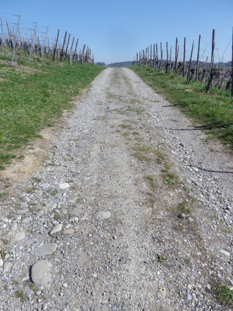
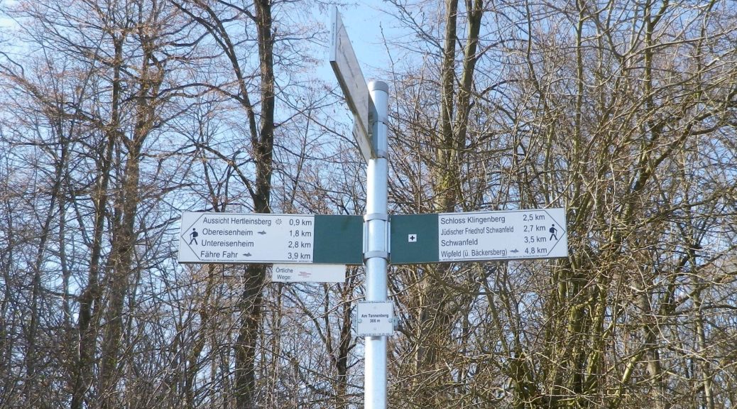
Trail Type: Short distance circuit trail; well-maintained and almost exclusively paved, marking on the trail good in most places

Length:

Total – 6.8 kilometers/4.25 miles

Convenient to: Volkach, or Kitzingen, Germany

Marking:

Look for two types.

Green hills, blue river and white ferry on a which square background.

White letter C on a square, red(dish) background (indicating where the Silvaner Erlebnisweg diverges from the principle or other trails).

Trail Description:

The trail leads through mostly unshaded vineyards situated on gently rolling terrain in the Maindreieck, on primarily agricultural service lanes. This easy hike affords ample opportunities to admire distant vistas over the Main River valley, and plenty of benches (and the occasional picnic table) from which to enjoy them.

Trailhead:

Obereisenheim – An der Mainau/Dorfstrasse

Parking:

Obereisenheim – An der Mainau

Public Transportation Options:

Bus: The Frankenbus 8110 services this area from Kitzingen and Volkach. Check VVM (Verkehrsverbund Mainfranken) and VGN (Verkehrsverbund Grossraum Nuernberg) websites for schedules and routes.

Suggested Stages:

Trail Itinerary-Reference Points: (Counterclockwise)

Obereisenheim: Hintergasse, Marktplatz, Wipfelderstr, Setzweg, Buehlweg, cross Schwanfelder Strasse; Vineyards; back across Schwanfelder Strasse; long vineyard loop (almost to Dipbacherstr); Hertleinsbergweg, Bergstr

Representative Trail Photos:

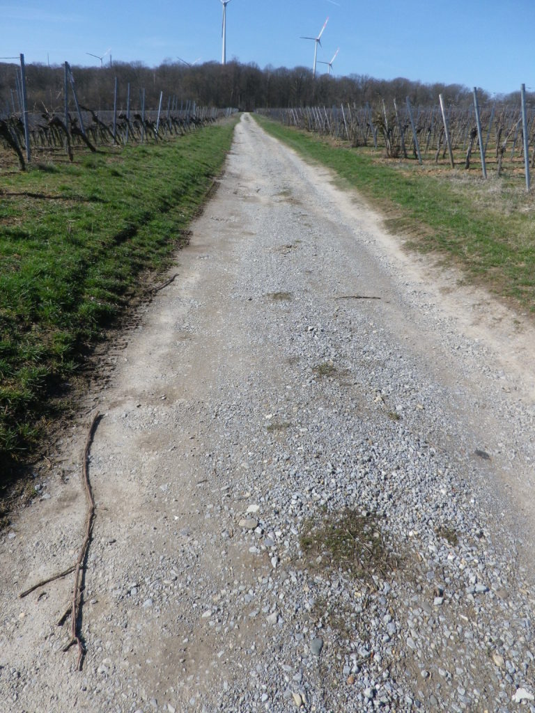
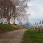
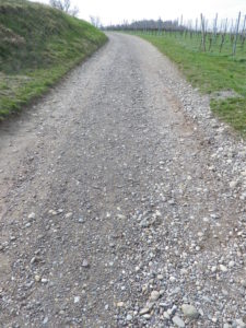
Non-Asphalted Section of Trail


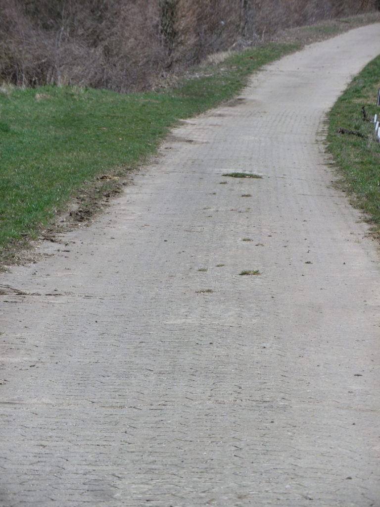
Paved Section of the Trail


Restrooms:

None observed

Attractions on or near Trail:

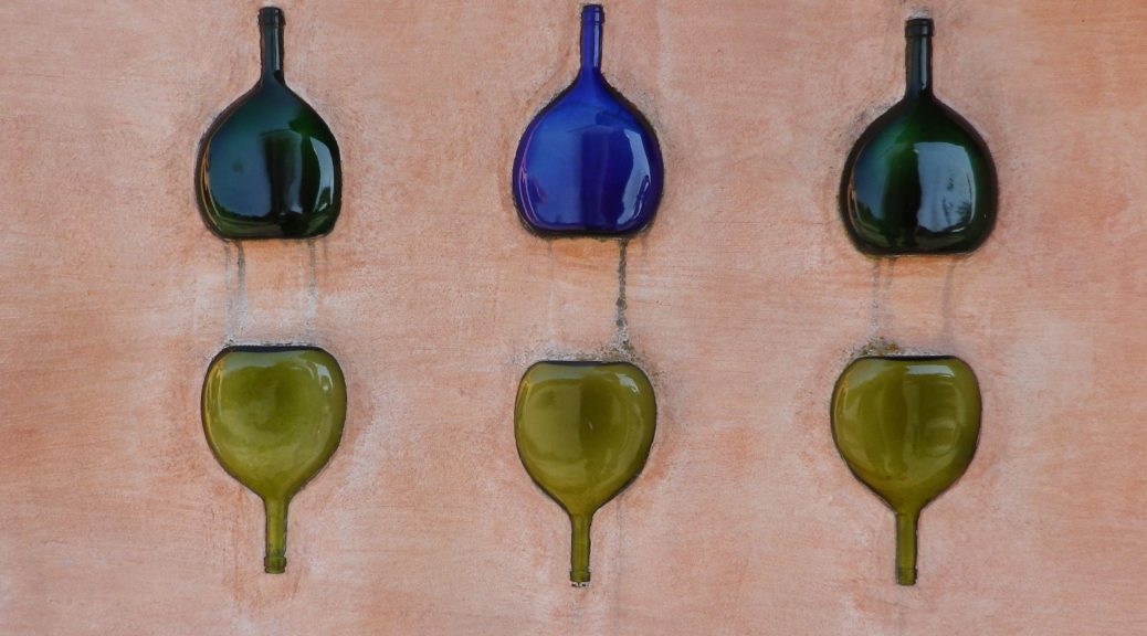
WG Hirn is a winery designed in the Hundertwasser architectural style, and has acclaimed red and GG Silvaner wines!

Tasting along the Trail:

Weingut (WG) Jung, WG Schuler, WG Kramer, WG Reich, WG Ruegamer, in addition to WG Hirn, lie either directly on or near the trail.

Alternative Options:

Hiking: In nearby Fahr, the Obst-Wein-Main trail/Trail D circuit offers a short (3.5 kilometer) and a long (9.8 kilometer) version.

Biking: Eisenheim is on one of Germany’s favorite bike trails, the Main Radweg. Its itinerary follows mostly along the Main River for about 340 kilometers to the Rhine River at Wiesbaden, much of it on dedicated bike path. See the Nutshell here.

Additional Information:

Regional: https://www.frankentourismus.de/orte/eisenheim-169/

Trail specific: http://www.wandermap.net/de/route/3493744-silvaner-erlebnisweg-markt-eisenheim/#/z11/49.8300104,10.1214981/terrain

Comments:

The ferries at Obereisenheim and nearby Fahr make a fun three-minute Main River crossing for hikers and bikers in the area.


Worrenberg’s Wines and Vines


Zurich, Swiss financial capital with a major international airport and  European travel hub, was not far away, as the map clearly showed. The occasional aircraft loomed overhead as a reminder. But otherwise, this corner of Switzerland was rural, peaceful and green – great characteristics for any hiking trail.

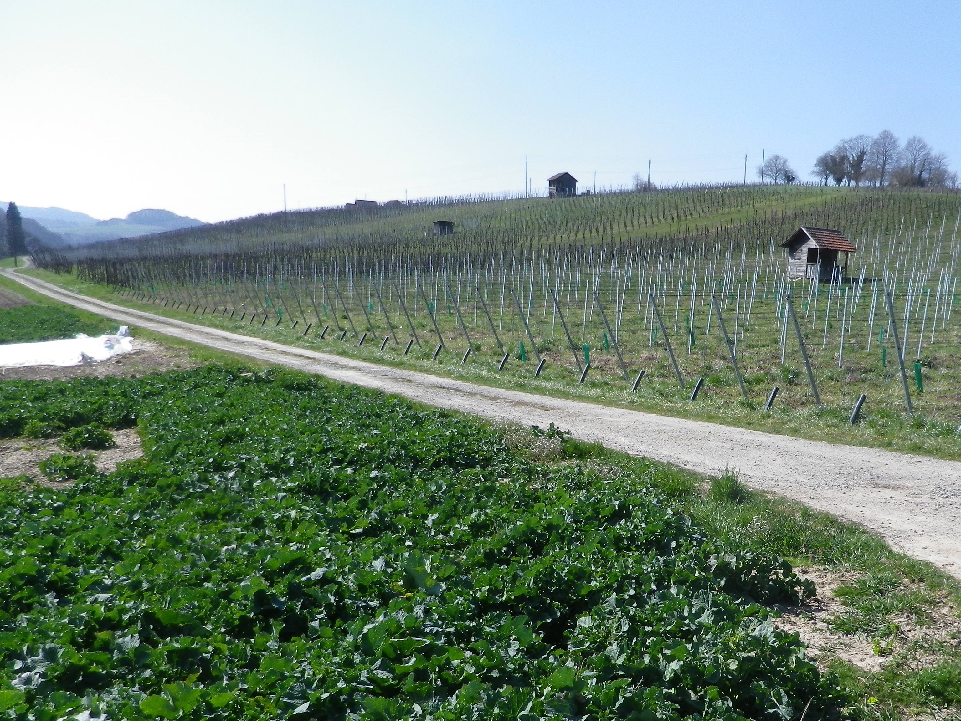
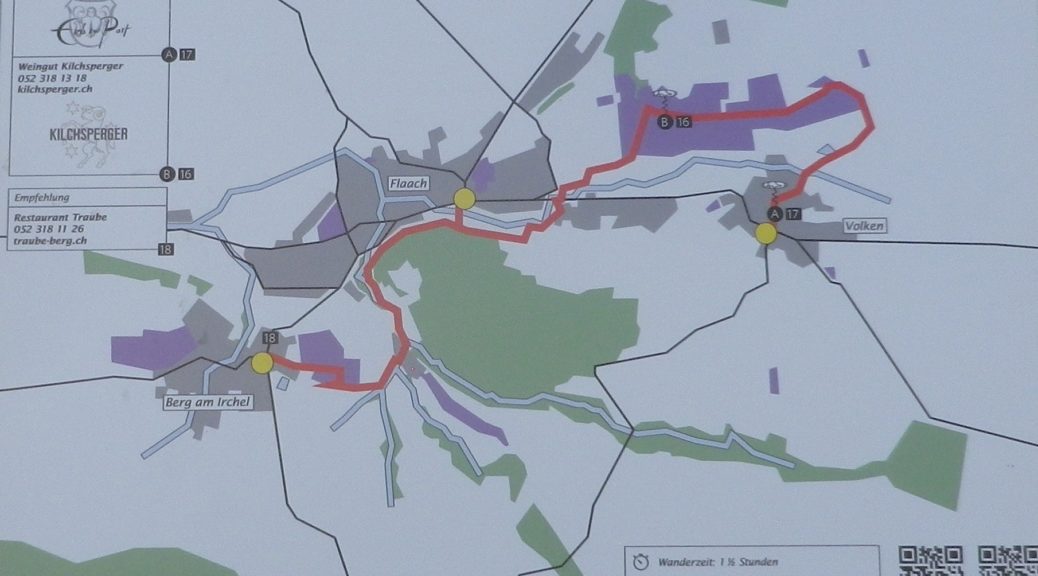
The Worrenberg Weinwanderweg trail route highlighted the vineyards and wines of three small villages. All villages were in the Canton of Zurich, but they were closer to Schaffhausen, the famous city of the Rheinfalls on the Rhine River. The high-point of the trail, literally and figuratively speaking, was the vineyard area known as the Worrenberg, a south-facing slope of sufficient steepness to make it ideal for planting vines in this area.

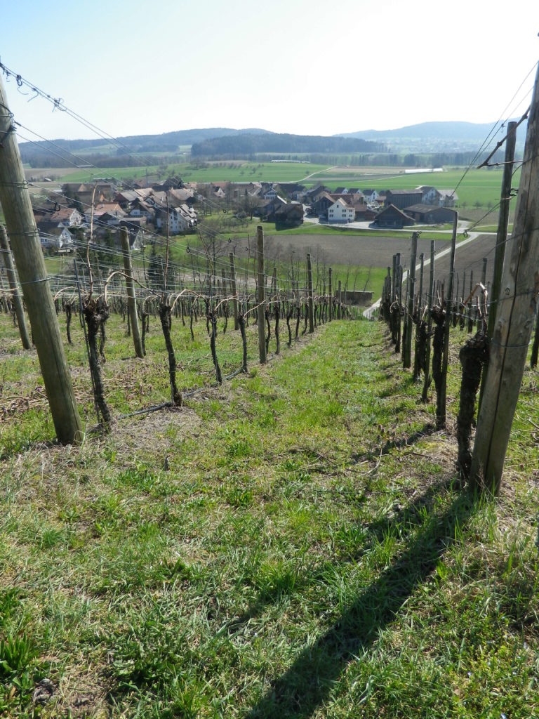
Vines on the Worrenberg Facing Volken


Zurich comes within what is known as the Deutsche Schweiz (German Switzerland), that part of Switzerland using German as its principle language. The Deutsche Schweiz has several different wine appellations, and in the region of Zurich, there is the Zuercher Weinland, a wine district not far from the wine region of Thurgau, centering around the Thur River, with the Rhine River to the west. It is a hilly region, not a mountainous one. Hence this short trail is an easy trail for families.

The Worrenberg


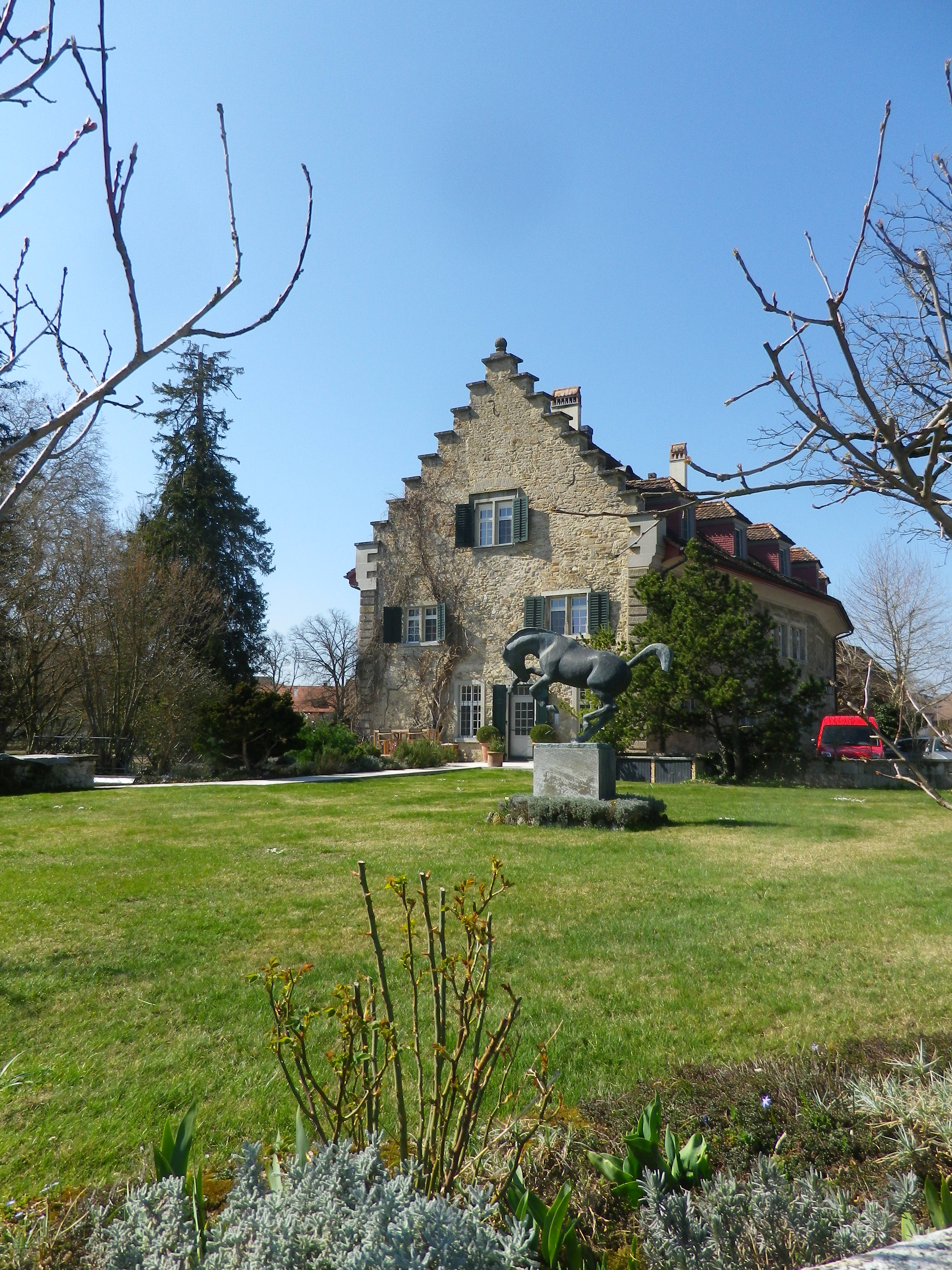
I began in the village of Berg am Irchel, which refers to the higher elevation south of the town. While there were a couple of wineries and a couple of taverns, it was difficult to see how people earned their livings. As I hiked along a couple of lanes, I passed a small “schloss”, a “palace” in name only, and soon entered the town’s small vineyard area.

The Schloss in Berg am Irchel


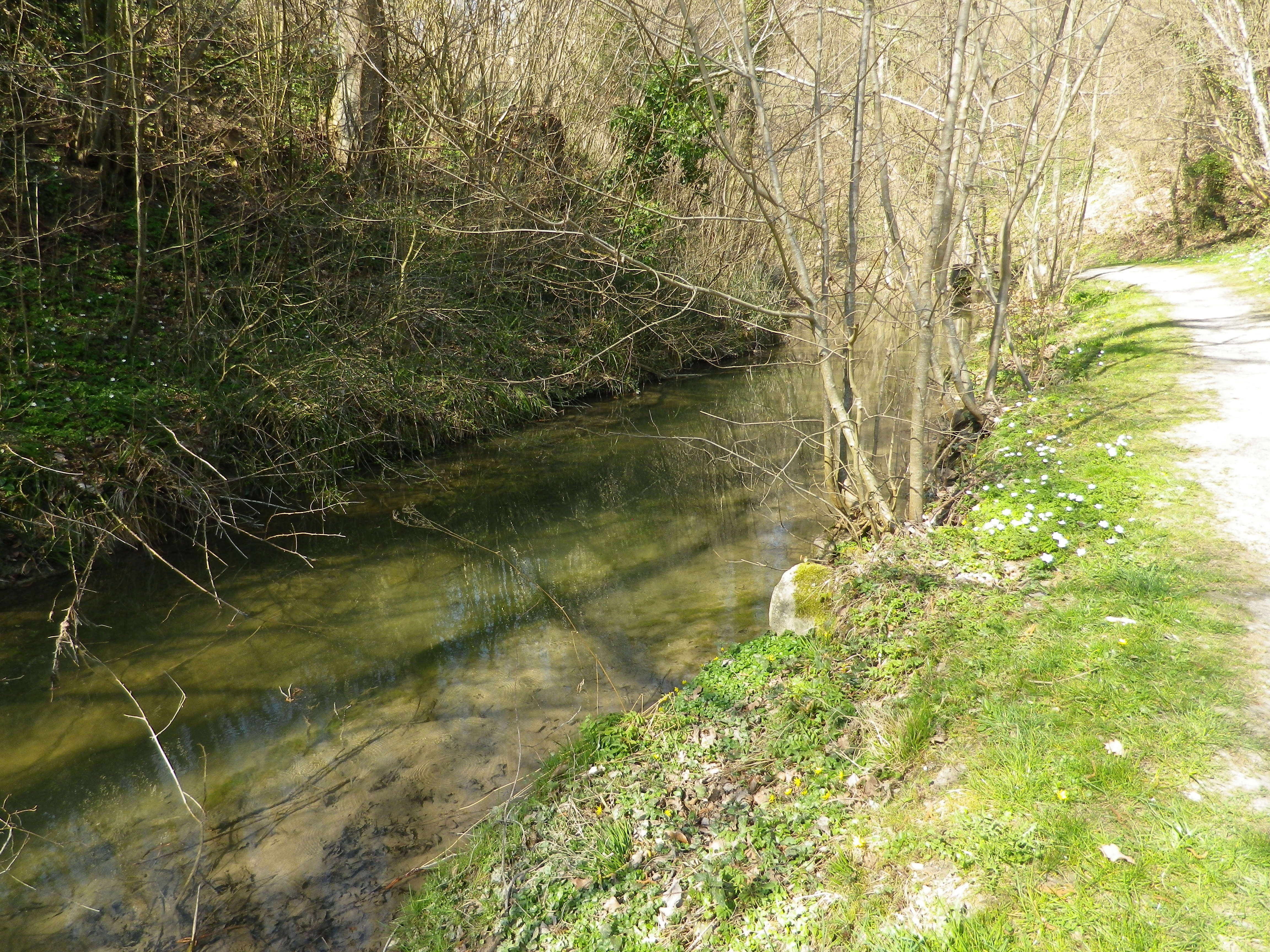
Once out of the vineyard area, the trail followed along a creek, shaded by old trees. The path led to Flaach, the second of the three villages, and the largest with almost 1300 residents. Nonetheless, I did not see a living soul as I meandered across the main street.

Trail by the Flaacher Creek


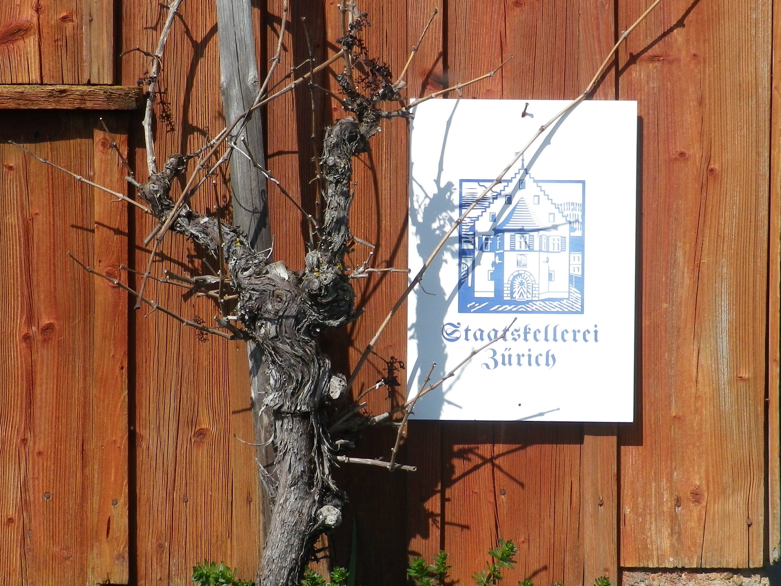
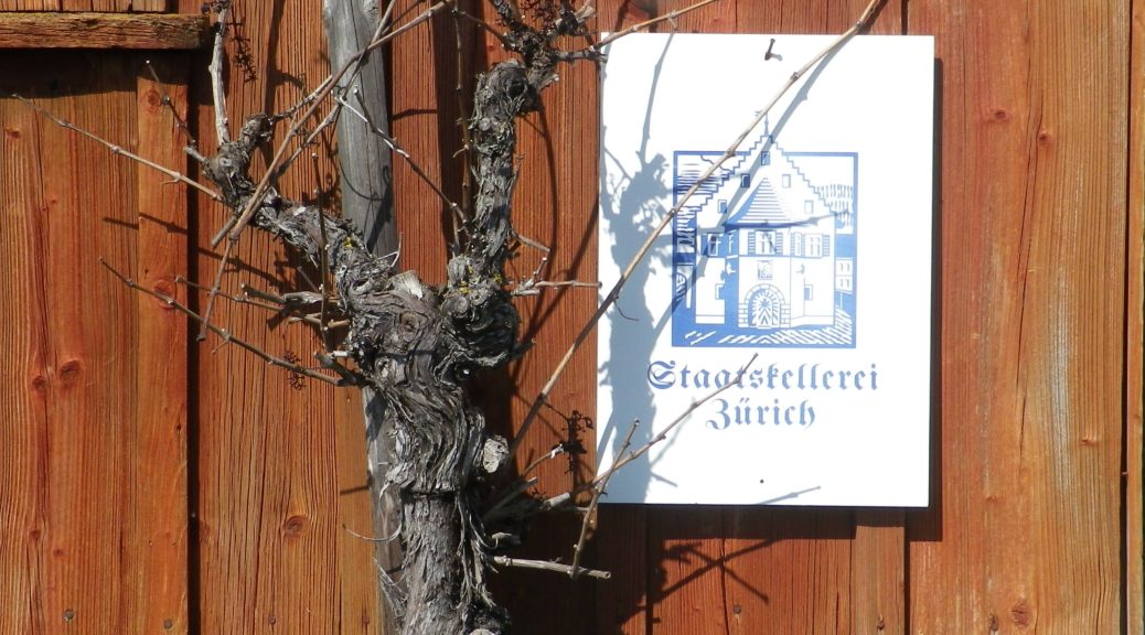
Leaving Flaach, winding up the side of the Worrenberg, were signs that provided information about viticulture and viniculture. The Worrenberg is the largest vineyard area in this district of the Zurich appellation, and several regional vintners had parcels here. A few vintner huts lined the way, including the one associated with the region’s largest winery: the Staatskellerei Zurich. Here and there, interesting perspectives on the villages and surrounding countryside appeared, to include the third village: Volken.

Staatskellerei Zurich Sign


Soon I was walking along the deserted streets of Volken, past farmhouses and tidy Swiss residences. The center of town held a tavern, the Wirtschaft zur Post (closed), opposite a tiny grocery store conjoined with the Post Office. The warm greeting of the woman attending the store was enthusiastic and heartfelt. I imagine not many “foreigners”, let along locals, come in. But tiny or not, the store had a relatively large wine section, which luckily included local wines. And the one person I saw that day was an enthusiastic booster of the local wine industry. As she helped me choose the best selection of wines from local vintners, I realized that even when you think you are in barely inhabited countryside, you can always find somebody willing to talk about wine.


Wine Notes: Switzerland’s Zurich Appellation


What I Learned

Switzerland’s Zurich appellation is located behind the well-known Thurgau appellation on the shores of Lake Constance (Bodensee, in German), and the Sankt Gallen appellation to its east. It has five sub-districts, and clockwise, circling from north to south around the city of Zurich they are: the Zuercher Weinland, the Winterthurer Weinland, the Zuerichsee, the Limmattal, and the Unterland. Overall, the Zurich district is cooler, and more elevated than the vineyards in Thurgau, along the lake. Although fed by numerous rivers that feed into the Rhine, they are neither as large nor as temperature-moderating as the Rhine. The whole canton is covered by 613 hectares (1515 acres) of vineyard, according to the latest figures (2019). White varietals are less prominent (by approximately 2 to 3) than red ones, of which the Blauburgunder (Pinot Noir) features most prominently. It has a couple of interesting grape varietals, rare elsewhere.

Raeuschling, a white grape varietal, was well-known and highly cultivated in this part of Switzerland for several centuries. Like the Mueller-Thurgau grape that later replaced it, it was a varietal for cooler climates. It produces a crisp, acidic wine.

Gamaret, a cross between Gamay and Reichensteiner, is a red grape varietal first planted in the 1970s. Developed by Swiss scientists, its popularity originally spread quickly. In addition to the Zurich area, it grows in significant quantities as well as in the Vaud, Valais, Geneva and Ticino cantons.


What I Tasted

2015 Riesling-Sylvaner, Worrenberger, Erb zur Post, Halbtrocken, AOC Zurich, Weinbau Post (Volken): A dry white wine with medium gold color; a sharp, green apple and slight spice nose, with citrus, green apple and spice flavors; medium plus acidity, with a slightly acidic finish.
2015 Gamaret, AOC Zurich, Trocken, Weingut Bauer (Berg am Irchel): A dry red wine with dark minus purple red color; a tobacco, chocolate and leather nose, with vanilla, blackberry, chocolate and leather flavors; a complex and interesting varietal wine with high tannins (opened in August 2019).


2014 Pinot Noir, Worrenberger, Erb zur Post, Trocken, AOC Zurich, Weinbau Post (Volken): A dry red wine with medium ruby red color; a fruity nose with a hint of floral notes, and blackberry flavors, with a hint of floral honey; medium plus tannins, with a slightly acidic finish.


Worrenberg Weinwanderweg: Trail in a Nutshell


Trail Name:  Worrenberg Weinwanderweg (AKA: Weinwanderweg am Worrenberg)

Trail Type: Short-distance trail; well-maintained and asphalt or hard-packed surfaces, marking on the trail is okay

Length:

Total – about 3 kilometers/almost 2 miles

Convenient to:

Schaffhausen or Zurich, Switzerland

Marking:

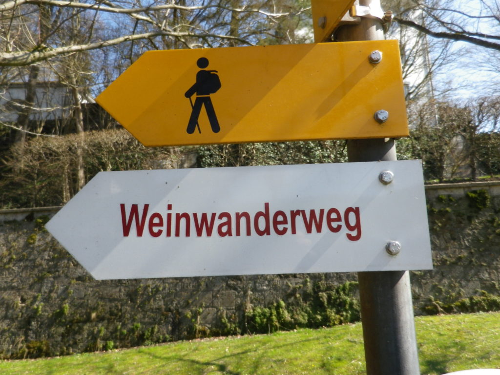
Yellow signs with stylized man in solid black, or “Weinwanderweg” in red letters on a white rectangular sign.

Signage for Worrenberg WWW


Trail Description: A very short and gentle hike through quiet, countryside, with vistas of rolling hills in the distance. Approximately one-quarter of the whole trail is shaded, as it passes through woods. The rest is in sun. Suitable for families with elementary-aged children, and very suitable for baby carriages (in all but a small section in the woods, where for less than 100 meters the going is a bit rougher) as well.

Trailheads:

Start: Berg am Irchel: Dorfstr

End: Volken: Flaachtalstr

Parking:

Parking spots are here and there along the lanes, and near fields on the outskirts of the villages.

Public Transportation Options:

Rail: The nearest station is in Andelfingen, with commuter service trains from Schaffhausen and Winterthur

Bus: The Swiss Postbus lines 670, 675 and 677 service these villages

Suggested Stages:

Not applicable

Trail Itinerary-Reference Points: (West-East)

Berg am Irchel: Dorfstr, Schlossstr, fields, along stream; Flaach: cross Oberdorfstr, Andelfingerstr, through vines on and up a slope; Volken: Glemettenstr, Flaachtalstr

Representative Trail Photos:

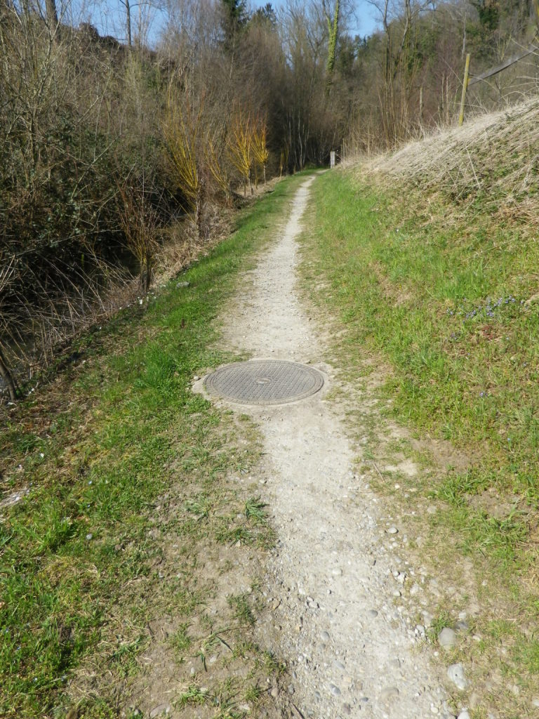
Surface Sample outside Villages


Restrooms: None observed

Attractions on or near Trail:

None observed

Tasting along the Trail:

Weingut Bauer in Berg am Irchel; Weingut Kilchsperger in Flaach; Weingut Zur Post (also a tavern) in Volken.

Alternative Options:

Hiking: Other hiking possibilities are available from local tourist offices/information points.

Biking:

-The 18 kilometer/11 milesWorrenberg-Thur bike tour follows from Flaach, over the Worrenberg, along the Thur River, then a bit along the Rhine River before returning to Flaach. Listed as medium plus difficulty.
-Part of the 90 kilometer-long Ostschweizer Weinroute (Wine Route), passes through Ossingen, about 10 km/6 miles away, on its way from Sankt Gallen to Schaffhausen, and the Rheinfalls.

Additional Information:

Regional: https://www.zuercher-weinland.ch/

Trail specific: http://www.worrenberg.net/Weinwanderweg/

Comments:

None


Hiking Rings Around Kaiserberg


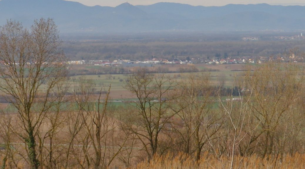
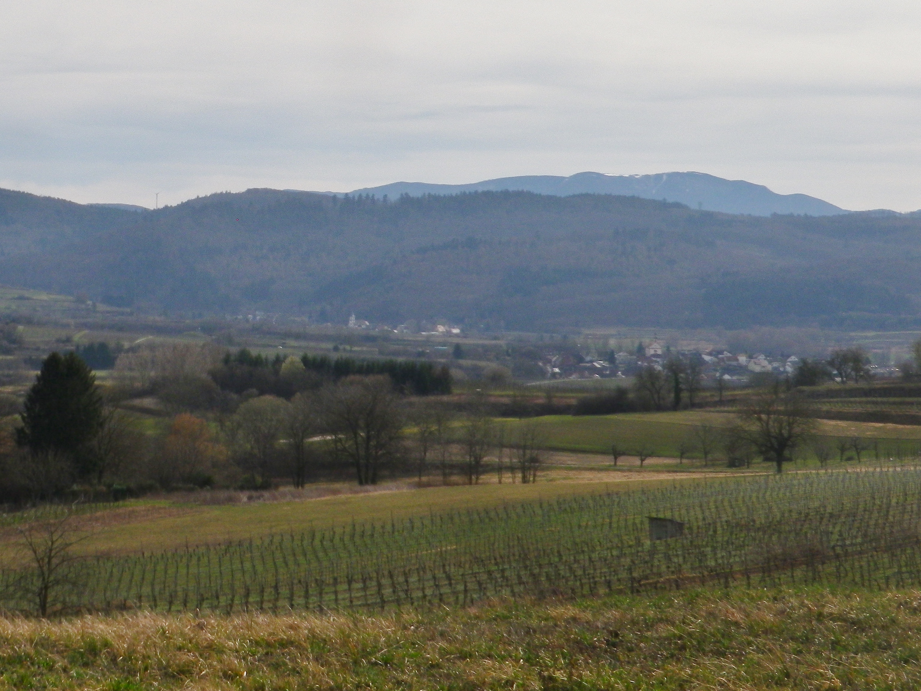
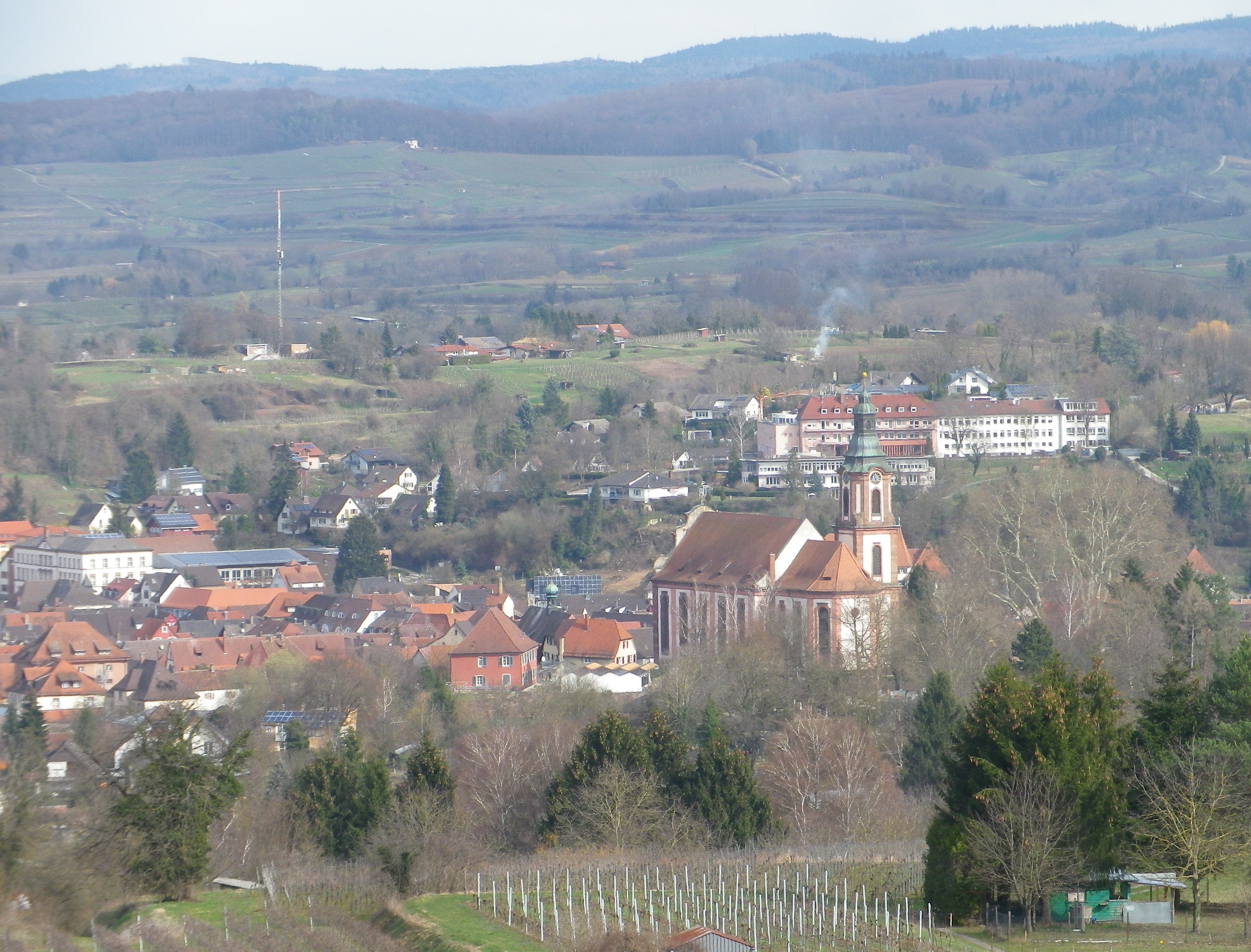
Above the small town of Ringsheim, after a long, but steady, climb up the Kaiserberg, I took in my first view of the distant mountains. Off to the west, over 30 kilometers (18.5 miles) away, were the Vosges Mountains in Alsace, standing out against a clear sky. Off to the east were the mountains of Germany’s best-known forest, the Black Forest. I took some time to try to get good photos, thinking the opportunity was too good to pass. I was there, the sun was in the right position, and the atmospherics were mostly clear. Little did I know that I would cross close to this spot again, to complete the second part of this circuit trail, which was laid out like a rough figure eight. In fact, there were several circuit trails in this hiking paradise.

Black Forest Scene


So twice the hike to the top of the Kaiserberg, which really is not as challenging as it may seem. On the plus side, I had two opportunities to take in the great views. But the Kaiserberg is really famous in this area of the Breisgau for its vines and wines. In fact, the official start of this trail is in Ettenheim, a town at the foot of the Kaiserberg that attracted a famous French nobleman and bon-vivant: Bishop (later Cardinal) Louis Rene Edouard de Rohan. Maybe it was the wines?

Ettenheim


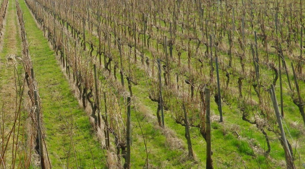
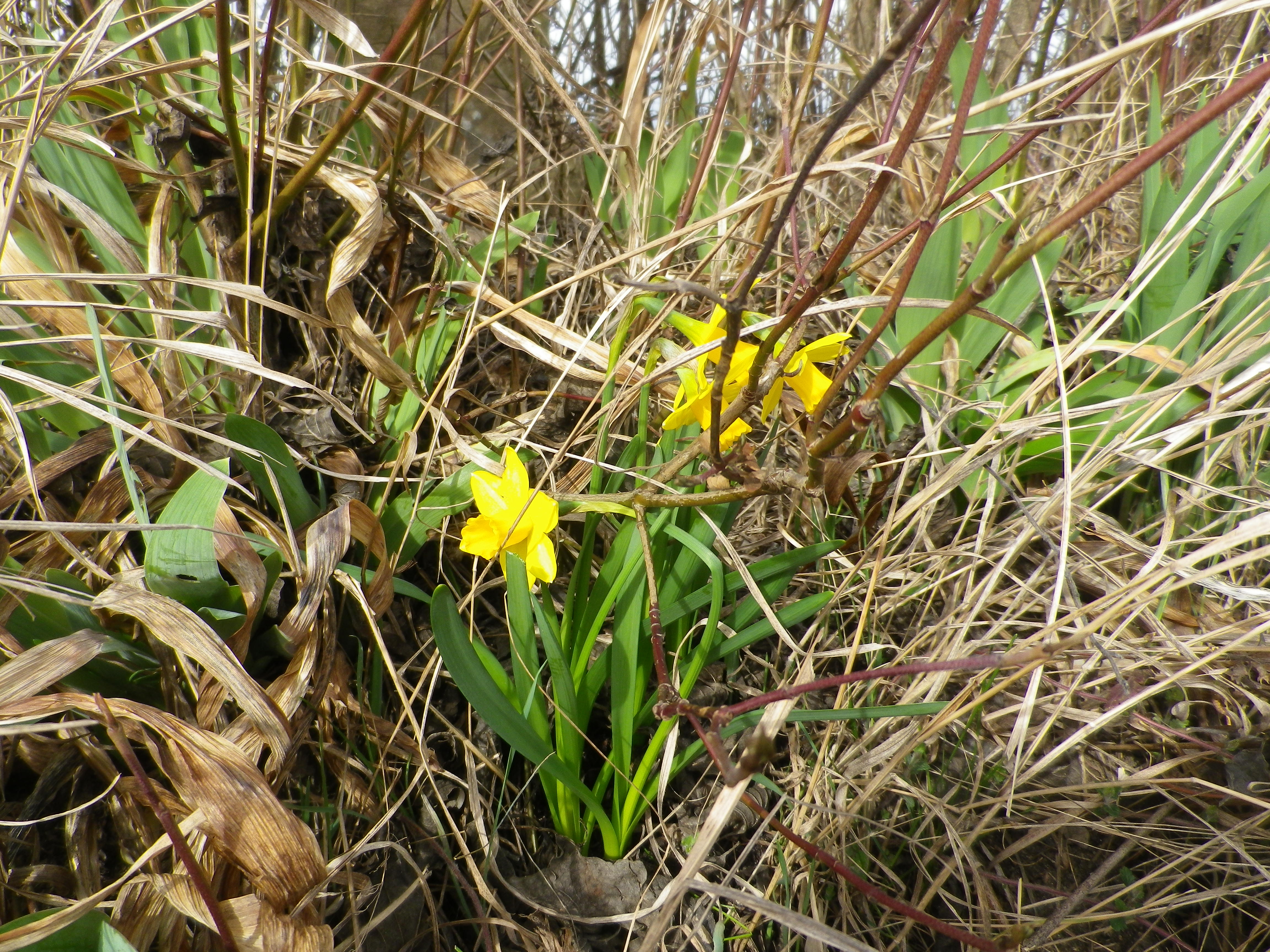
The situation of the Kaiserberg and Ettenheim is good for capturing sun and warmth, being high enough – but not too high – in the foothills of the Black Forest, with good and long western and southern exposure to sun. The scenery was certainly an attraction as well: dark green of the Black Forest, little blue mill ponds and the peaked mountain tops on both sides of the valley. Some of these were still snow covered. But to my delight, flowers were already blooming along the trail, a surefire indicator of imminent spring weather.

Daffodils in Early March


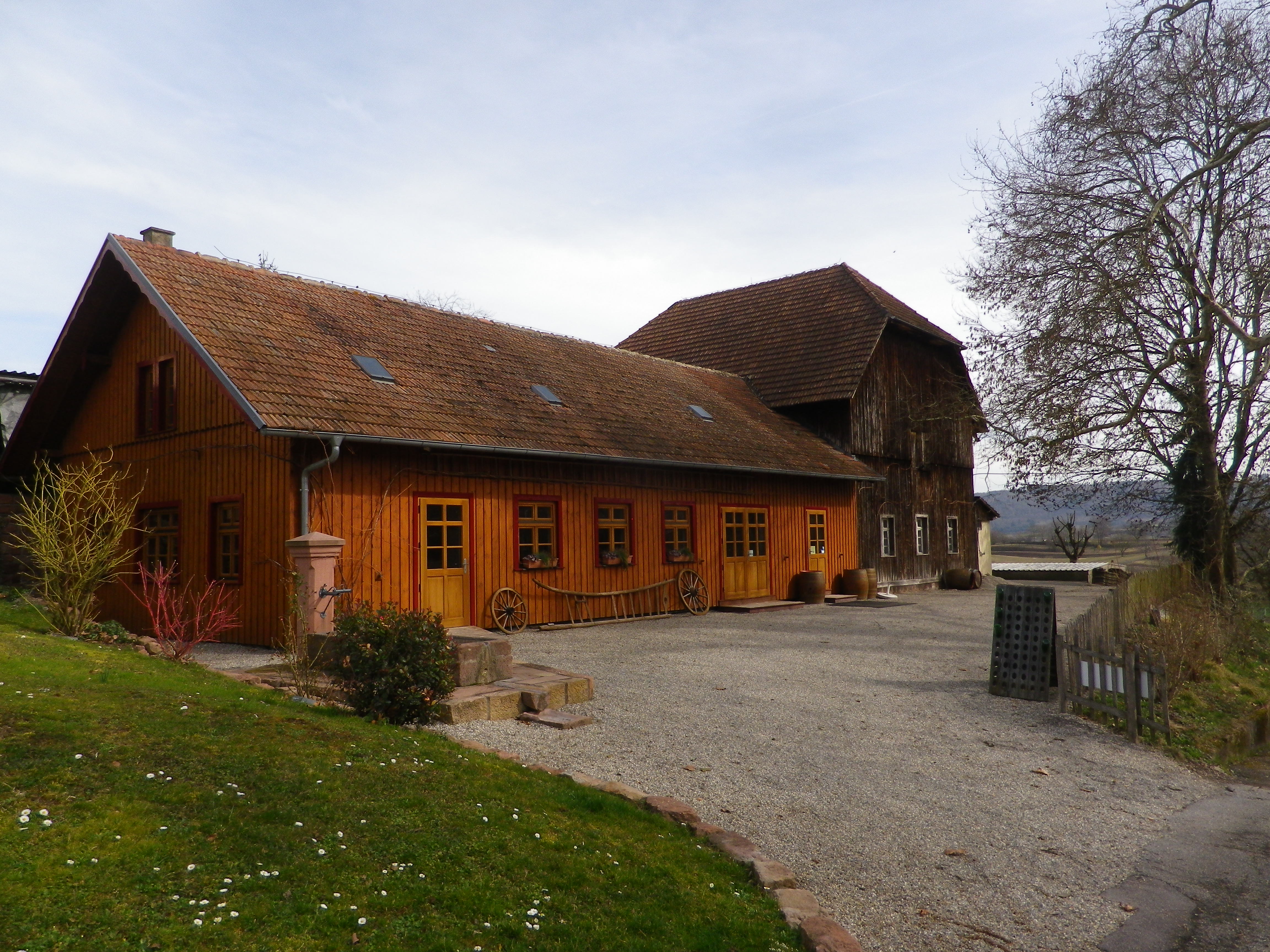
It was still too early though for the taverns on the trail to be open. (Normally, taverns on trails close in winter, and don’t open until at least Easter or April, whichever comes first.) Pity, as the trail passed two, each looking equally inviting. One was close to the highest point of the Kaiserberg, next to an observation tower. The other, set in a traditional style building, was nestled further down the Kaiserberg in a hollow, where it was warm and sunny, and sheltered from wind for the most part. Very gemuetlich! Both offer local wines, as there are several vintners in the surrounding towns of Ringsheim, Ettenheim and Herbolzheim, producing some of the best wines in the Breisgau wine district.

A Wine Tavern on the Trail


Fortunately though, the trail ends (and begins) by the Weingut Weber (Weber Winery). While their “wine lounge” with its attractive  view from the patio was also closed, at least the shop and restaurant were open. Maybe Cardinal de Rohan knew something, or maybe he started something, but it is certainly true that one can eat, drink and even hike well in this bucolic corner of the Breisgau.

Wine Notes: Baden’s Breisgau District


What I Learned:

The Breisgau area of Germany’s Baden Wine Region has some unique topography, both natural and manmade. From the plain, you see ridgeline after ridgeline, each rising higher as it moves away from the Rhine, and toward the upper reaches of the Black Forest to the east.

This district produces red and white wines, in almost equal quantities. Mueller-Thurgau is the most planted white varietal, followed by Rulaender (Grauer Burgunder/Pinot Gris), and then Pinot Blanc. The Pinot (Burgunder) varietals are widely planted here. In fact, according to the Weinlandbreisgau.de site, the Blauer Spaetburgunder (Pinot Noir) constitutes a whopping 42.9% of all wine made in the Breisgau. Combined with the Pinot Blanc figure of 9.5% and the Pinot Gris figure of 12%, this means that the Pinots themselves constitute over 60% of all wine from this area.

Most planted varietal in the Breisgau area around Kippenheim is the Spaetburgunder. Other areas within the Breisgau grow the red varietals of Regent (developed in 1967 in the neighboring Pfalz wine region) and Cabernet Mitos, and Riesling and Chardonnay as other white varietals. All other grapes grown each constitute less than one per cent of the total.


What I Tasted:

2018 Sauvignon Blanc, Ettenheimer Kaiserberg, Trocken, Deutscher Qualitaetswein, Wein und Sektgut Weber (Ettenheim): A dry white wine with medium gold color; nose of gooseberry and citrus, with gooseberry, citrus and slight spice and pear flavors; medium plus acidity, with a tart finish, well balanced and a great representative of this varietal wine.

2012 Weissburgunder, Ettenheimer Kaiserberg, Trocken, Qualitaetswein, Weingut Jaeger (Ettenheimweiler): A dry white wine with medium gold color; citrus flavors with a full mouthfeel.

2011 Grauburgunder, Ettenheimer Kaiserberg, Trocken, Qualitaetswein, Weingut Jaeger, (Ettenheimweiler): A dry white wine with light gold color; floral notes with a trace of minerality, and a full, smooth mouthfeel.

Sekt, Brut, Blanc de Noir, Deutscher Sekt, Wein und Sektgut Weber (Ettenheim): A dry red sparkling wine vinified white, with very fine, lively bubbles, and dark minus golden color; floral and yeast nose, green apple and bread flavors; medium plus acidity.


 Weinbergwanderung Kaiserberg: Trail in a Nutshell


Trail Name:  Weinbergwanderung Kaiserberg AKA Weinwanderwege am Kaiserberg

Trail Type: Short distance figure eight circuit; well-maintained and almost exclusively paved, fairly good marking on the trail.

Length: 9.75 kilometers/6 miles

Convenient to: Offenburg, Freiburg, Baden-Wuerttemberg, Germany

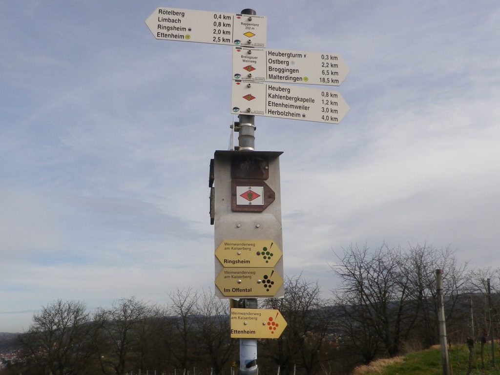
Marking: Small, yellow aluminum signs with black lettering and stylized black grapes on the side. (Bottom three in the photo below)

Many Trails, Many Signs on the Kaiserberg


Trail Description:

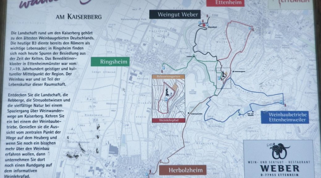
This moderately challenging hike (with several inclines and declines), covers the Kaiserberg, a hilly and wonderfully rural area set in the foothills of the Black Forest, yet not far from more urban areas. The biggest towns of Herbolzheim and Ettenheim sponsor several marked wine-themed trails, to include a short wine education trail through the vineyards. This trail, sponsored originally by the Weber winery, joins segments of these shorter trails to make a longer circuit, suitable for families young and old, and even cyclists.

Trailhead:

Ettenheim, Im Offental

Parking:

Ettenheim has a number of small parking lots, not too far from the trail. The closest is on Schwarzwaldstrasse

A small, unimproved parking lot at the top of the main Kaiserberg hill may be reached via Ringsheim’s Bergwerkstrasse.

See the additional comment below about parking.

Public Transportation Options:

Rail: Regional trains DB and SBB) frequently service the Ettenheim area (The closest station to the trail is Ringsheim.)

Bus: Sudbadenbus services this area, and provides route and schedule information at www.suedbadenbus.de

Suggested Stages:

Either the northern or southern half of the figure eight circuit may be hiked separately

Trail Itinerary-Reference Points: (Counterclockwise)

Ettenheim: Im Offental, through the Weber winery complex, vineyards, past a memorial with benches; up a draw between vines and woodline; past Kahlenbergkapelle (chapel); toward Lindenmann-Hutte (hut), scenic overlook with boulders; downhill into vineyards; past a hut; On Margarten, past Hummels Viehweid Straussi (Tavern), continue through vineyards; through intersection/section of trail by Kahlenbergkapelle; Heubergturm; through vineyards, return to Weber winery.

Representative Trail Photos:

Sample Non-Asphalt Surface of Trail


Restrooms:

Heubergturm (on the trail) has restrooms, but they are sometimes locked.

Attractions on or near Trail:

Just lots of bucolic scenery.

Tasting along the Trail:

Weber winery, and two seasonal taverns: the Heubergturm, and Hummels Viehweid Straussi; all right on the trail.

Alternative Options:

Hiking: In addition to the long-distance/multi-day Breisgauer Weinweg (see the Nutshell here), there are several circuit hikes. These range from 1 to 5 kilometers, and may be combined for more distance and hiking pleasure. See Ettenheim’s https://www.ettenheim.de/weinwanderwege-am-kaiserberg to download the flyer.

Car: The Badische Weinstrasse, a 200-kilometer car route for wine enthusiasts, begins in Baden-Baden and ends at Weil Am Rhein (on the Swiss border). It roughly follows Highway 3 from north to south, passing through the towns listed here.

Additional Information:

Regional: https://www.ettenheim.de/tourismus-kultur-freizeit

Trail specific: https://www.outdooractive.com/de/wanderung/schwarzwald/weinbergwanderung-kaiserberg-weingut-weber-ettenheim/117526408/#dm=1

Comments:

The Weber winery actively promotes hiking, hence many Weber signs and some events happen here in the vineyards on the Kaiserberg. However, while parking may be allowed in their large parking lot during those times, the sign otherwise notes that parking is only for winery customers.

One small section of the trail, the roughest surface section, was closed off that day due to the danger of falling trees. However, an alternative was clearly marked, and rejoined the trail within a few hundred meters.

In the Drome – Provencale


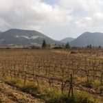
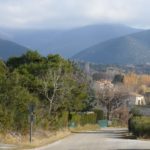
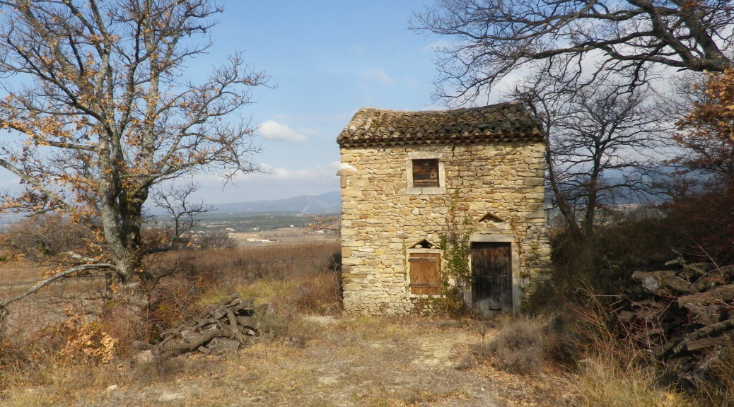
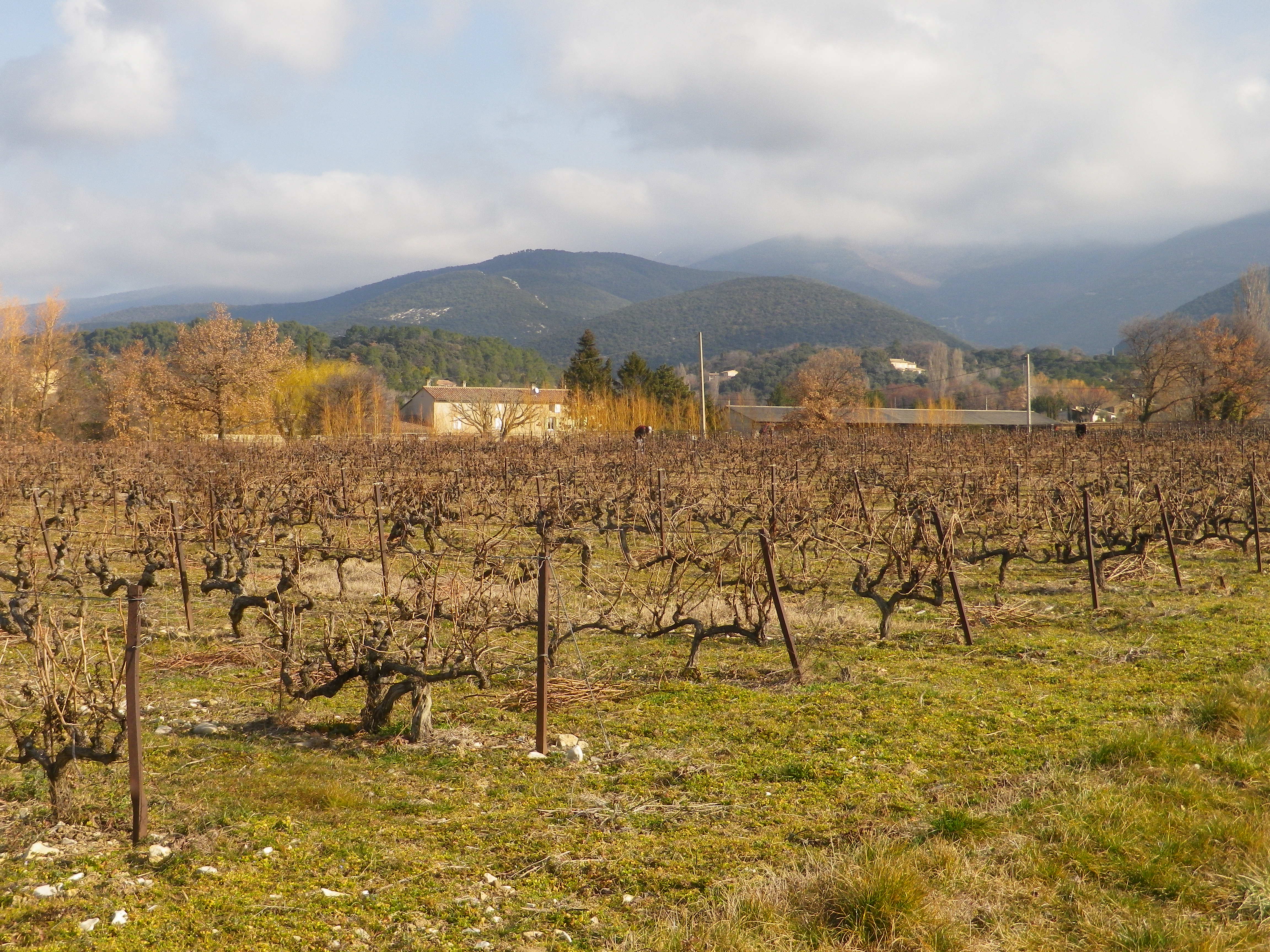
Walking through the garrigue, only a few meters away from the Vaucluse, with views of the Baronnies Provencales National Park, with its arid landscape, surrounded by vines producing Cotes du Rhone wine, you could be forgiven for thinking you were in Provence.

Instead, I was in the Drome Provencale, in Saint Pantaleon-Les Vignes, to be exact. A wine-themed trail developed in association with the local cooperative, the Vignerons de Valleon, runs through and around the village. While the trail begins in the village, itself on the border with the Vaucluse, it soon enters vineyards. Not surprising as the village has the word “vines” in its name.

Vineyards Beginning at Village Edge


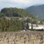
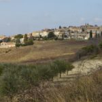
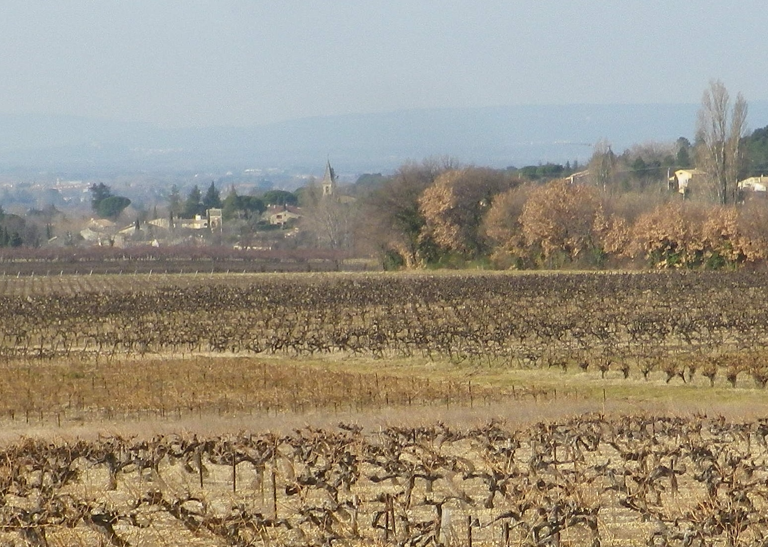
Saint Pantaleon is one of the 16 or so villages dedicated to producing some of the best Cotes du Rhone red wines there are. The village wines may carry the appellation name Cotes du Rhone Village and its own name on its bottles, a signal honor indeed. No doubt they had plenty of practice. In 900s, it was officially cited as having vineyards, although at that point, viticulture was probably close to a thousand years old in the area. Proud of their history, there is a wine education trail along part of the trail apparently identified by number bottles (but I lacked the brochure/key to what it all meant).


View of St Pantaleon


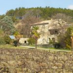
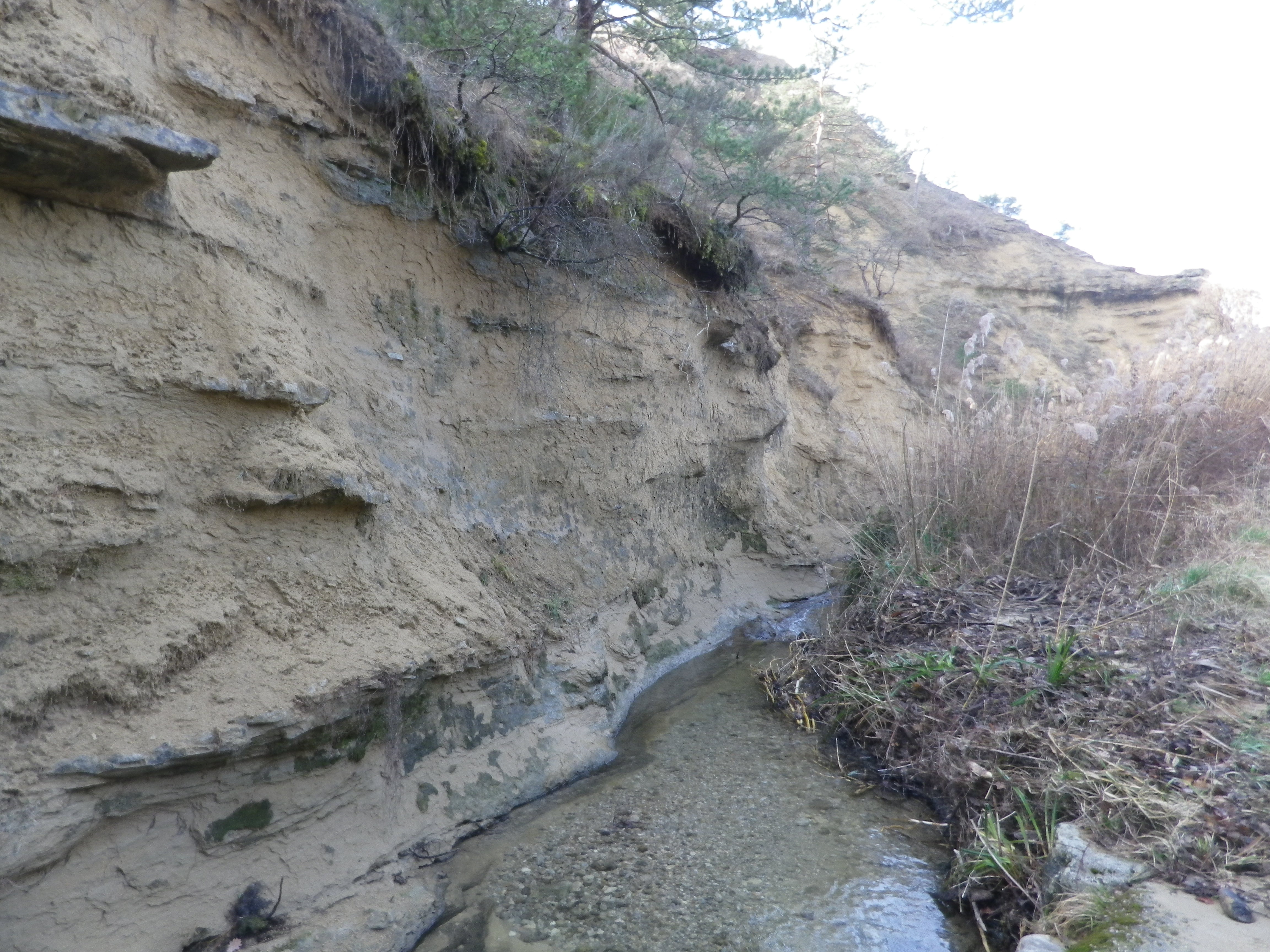
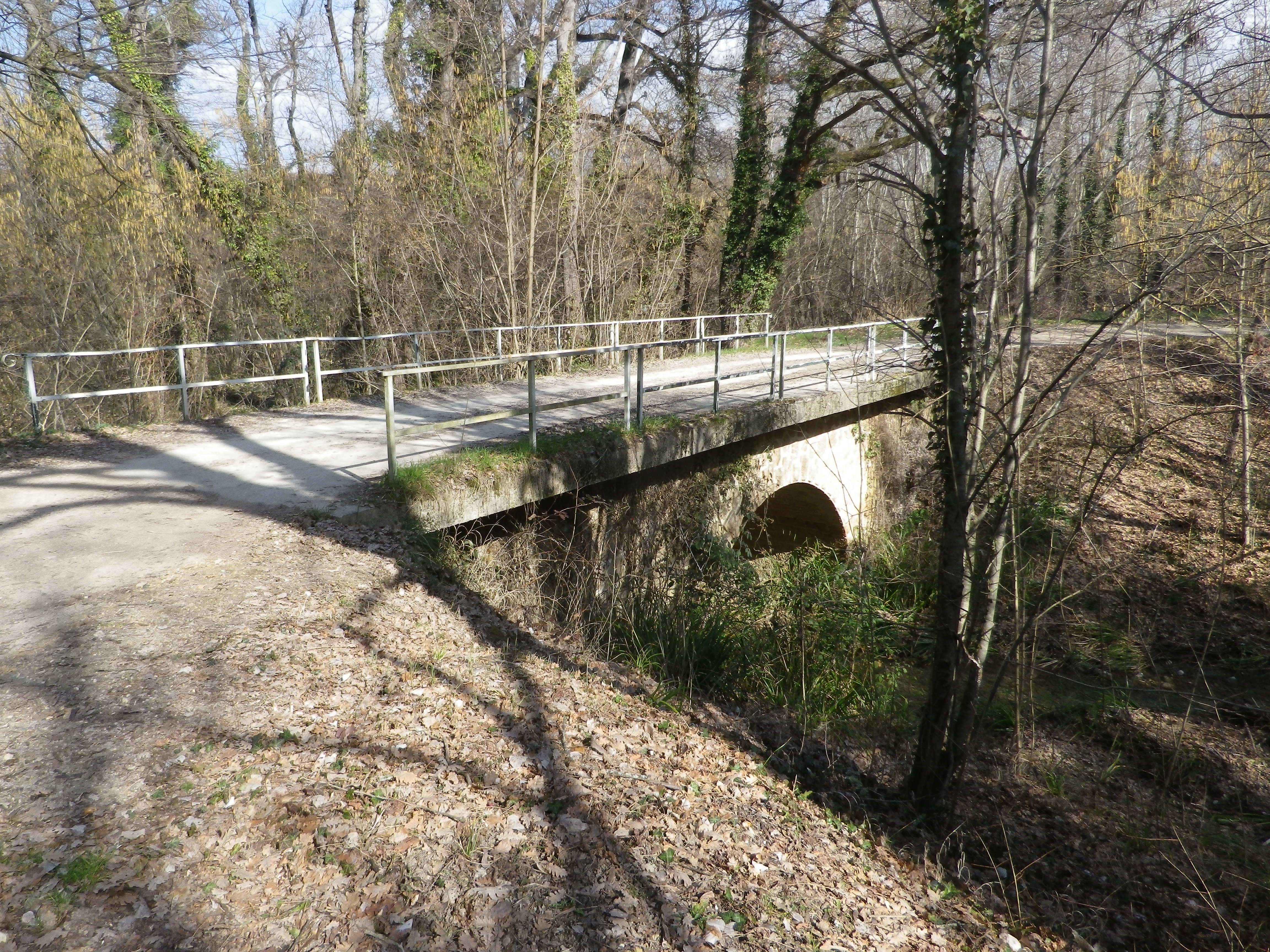
At a cluster of farmsteads, passing several palm trees slightly swaying in a warm February breeze, the trail began to lead to different terrain. A different, wilder, landscape begins to appear. After passing through the hamlet on the other side of the main road, the trail leads to a ravine. The exposed bank showed a mix of sand, clay and pebbles, mostly limestone, it seemed. So, this is what the vines grew in! Fortunately, it had not rained for a while. The small stream ran swiftly along its base, and judging from the gravel and rocks on the trail, it ferociously overran its banks on occasion. Picking my way over the rubble, I followed the trail uphill.

Torrente de la Fosse


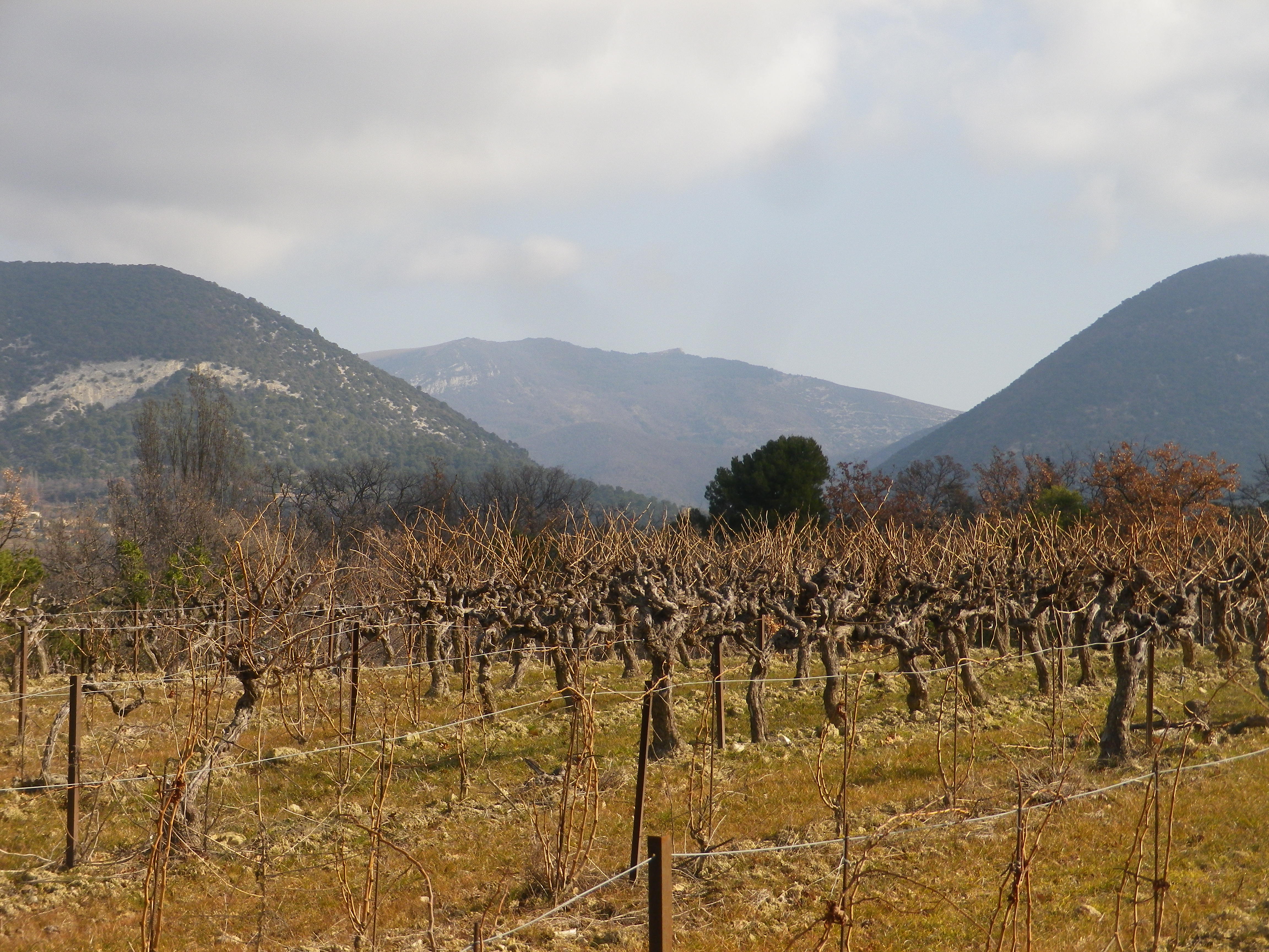
After a short and gentle incline, I soon reached the high ground. Unlike the vineyards below, these vineyards were sheltered and more discrete. Wandering through a mix of vineyard, fields and woods, it was a quietly peaceful interlude. All the better to enjoy the beautiful views. The distant Rhone River Valley and the Ardeche mountains lay to the west, at a minimum some 30 kilometers (20 miles) way, but appearing closer in the bright sun and clear air. To the north and east, the Baronnies National Park and the Prealpes, foothills to the Alps further east, seemed close enough to reach out and touch.

Baronnies Provencales National Park


The terrain is lined with ravines, some with water. While the trail managed to avoid the roughest parts, it did have some ascents and descents along the way. Luckily the trail crossed one of the drops along a viaduct. It had been constructed for the train from the Rhone to Nyons, further east. The cooperative created a red wine cuvee and named it in honor of the train, and the bottle label bears a drawing of the train passing along the viaduct.

The Old Viaduct


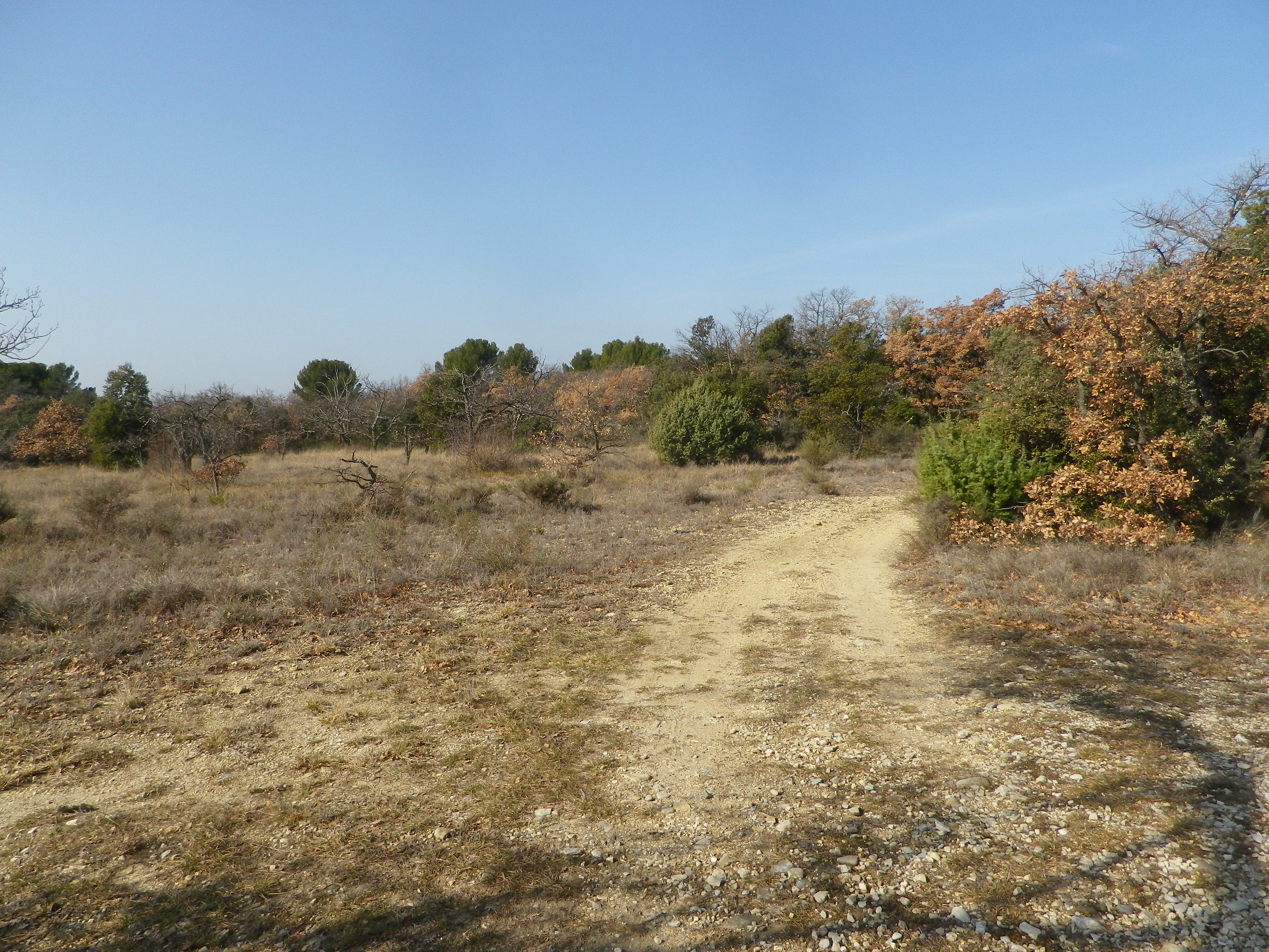
As I headed downhill, the smell of garrigue filled the air: Pine, rosemary, and thyme. Lavender plants, not in bloom in winter, were nonetheless present here and there. The generally dry and mostly sunny climate in this part of France enables these plants, along with grape vines, to grow well here. In fact, in many places, they will grow wild. Running fingers through a wild rosemary bush on the trail, is one way to whet an appetite for dinner – which naturally would include local wine. What a nice end to a day on the trail!

Garrigue

Hiking and Biking European Wine Country