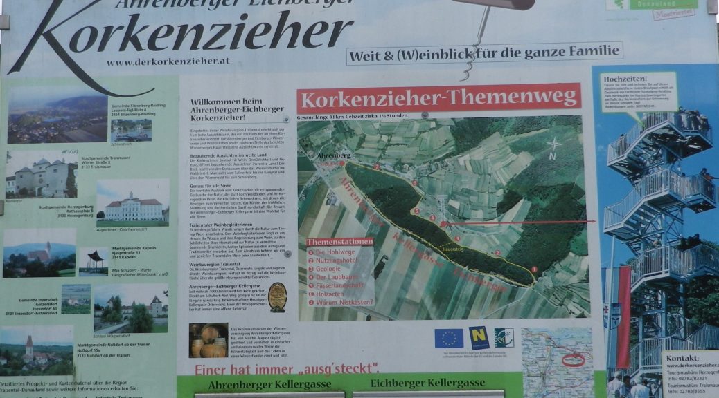
Trail Name: Korkenzieher Themenweg
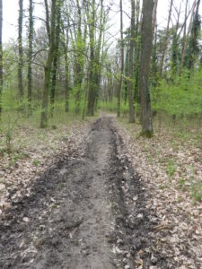
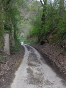
Trail Type: Short distance; variable surfaces, i.e.: leaf and grass, hard-packed earth, and paved; mostly well maintained, but the route itself is not marked.
Length: total: 7 kilometers/ 4.4 miles
Convenient to: Traismauer, Sankt Polten, Austria
Marking: None
Trail Description: An easy hiking trail through a variety of landscapes to include woods and some of the better-known vineyards of the region. The trail follows along a variety of surfaces, with some elevation.
Trailhead:
(Start) Gemeinlebarn – Ahrenbergerstr
(End) Traismauer – Bahnhofstrasse
Parking:
Traismauer – Bahnhofstrasse
Ahrenberg – Along the Kellergasse
Public Transportation Options:
Bus//Rail: S40 or 112 Traismauer-Gemeinlebarn; see http://fahrplan.oebb.at/bin/query.exe/dn
Suggested Stages: Not Applicable
Trail Itinerary-Reference Points:
Gemeinlebarn: Ahrenbergerstr; Ahrenberg: Ahrenberger Ortsstrasse, unnamed path through a deep cut, unnamed path through vineyards to Weinberggasse north of Thallern; along tree-line and through woods, past the “4 Eichen” point, vineyards, then the Bergkapelle; Traismauer: Tobel-Vorberg Kellergasse-Venusberger Strasse-Bahnhofstrasse
Representative Trail Photos:


Restrooms:
Traismauer – Train Station, Bahnhofstrasse
Attractions on or near Trail:
Korkenzieher viewing platform
Kellergasse – a long lane with wine taverns and eclectic art, both the Eichberger and Ahrenberger,
Tasting along the Trail:
Eichberger Kellergasse; and Ahrenberg Kellergasse
Schlossvinothek Traismauer (Hauptplatz, Traismauer)
Alternative Options:
Car: Niederoesterreicher Weinstrasse/the Traisental Weinstrasse
Additional Information:
Regional:
Area: http://www.niederoesterreich.at/traisental
Wine: http://www.traisentalerwein.at/vinothek-verkauf/index.html
Trail (segment) specific: http://www.donau.com/de/kamptal-wagram-tullner-donauraum/ausflug-bewegen/bewegung/karten-touren-finden/detail/der-korkenzieher-themenweg/8681c1e8c2346076a2fbd88c00b4aa4e/
Comments:
Check open hours for the wine taverns (Heuriger) on the Kellergasse.
Due to lack of marking, hikers will need either the GPX and/or map available from link above.
