Trail Name: Chablis – Les Sept Grands Crus/ Chablis – Les 7 Grands Crus (See comments below.)
Trail Type: Short distance circuit; trail surfaces mostly well-maintained and almost exclusively paved or hard-packed; marking on the trail was difficult to discern. (See comments below.)
Length:
Total – 6.1 kilometers/ 3.8 miles
Convenient to: Auxerre, France
Marking: Unknown (See comments below.)
Trail Description: An easy, short trail (possible with tweens and teens), through primarily vineyard area, perhaps best done in colder months, as there is no shade. This trail would be of special note to those interested in the specific grands crus vineyards of Chablis, as the trail passes either through, along, or within sight of all seven.
Trailhead :
D91/Lattre de Tassigny x Quai du Biez, Chablis
Parking:
Place Saint Martin, or Avenue Jean Jaures, Chablis
Public Transportation Options:
None observed!
Suggested Stages: Not applicable
Trail Itinerary-Reference Points: (Clockwise)
Chablis: Cross the bridge, Avenue Oberwesel, Cross Rte de Tonnerre/D965, slightly left, then climb uphill on the agricultural road, follow the tree line northwest, past the orientation table (up slightly higher on the right), vineyards (the 7 Grands Crus sites, including, in order Les Clos, Blanchot, Valmur, (along Grenouilles), Vaudesir, Preuses, Bougros), before heading down to cross Rte de Tonnerre/D965, past the Domaine de Chateau Grenouilles, Ave Jean Jaures, into municipal park (Parc de la Liberte) parking lot, follow the path to cross the bridge, R Lafitte, R des Moulins, Rue du Four, Quai du Biez
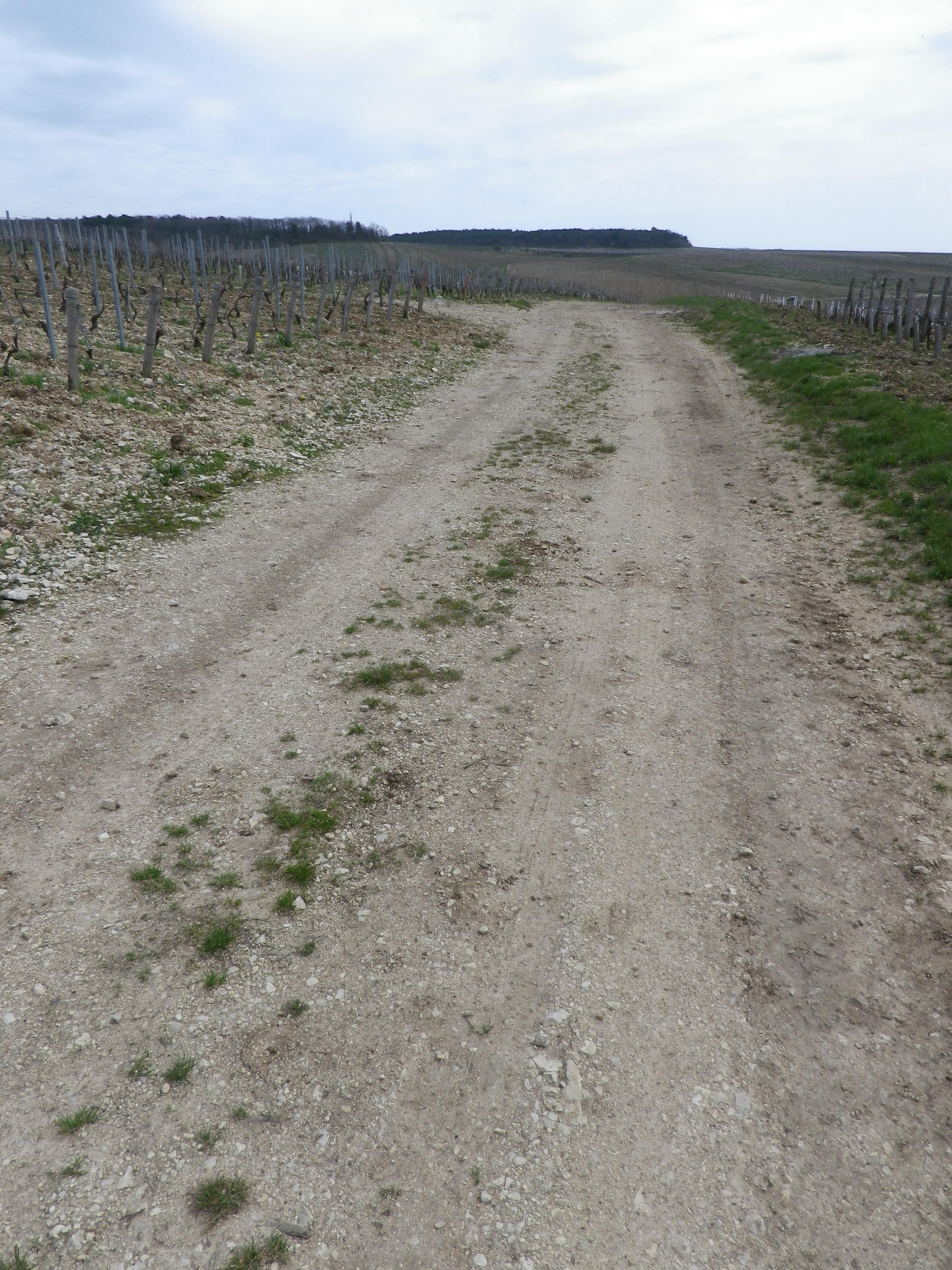
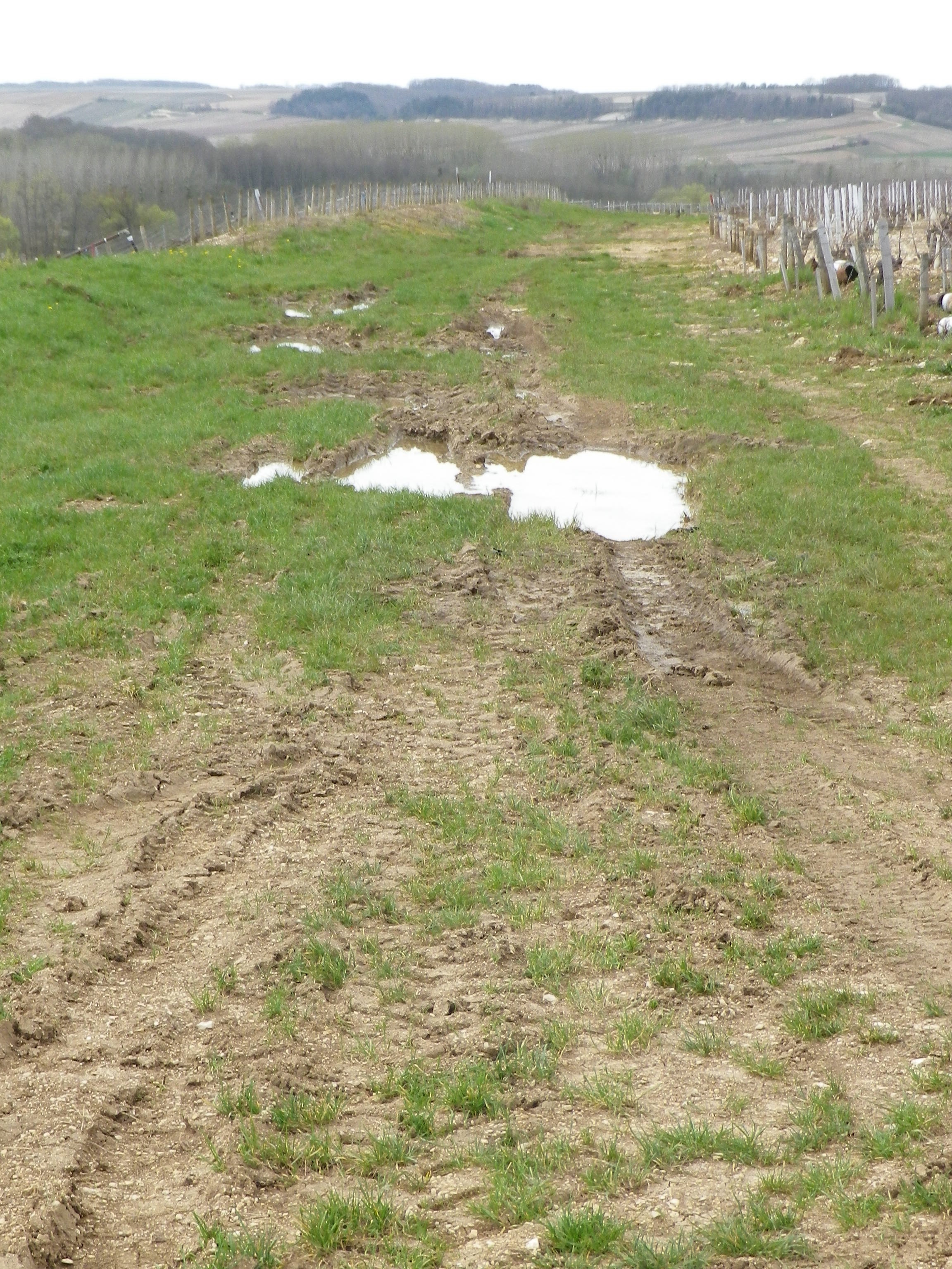
Representative Trail Photos:


Restrooms: None observed
Attractions on or near Trail:
A nearby private museum, Musee de la Vigne et du Tire-bouchons, detailing aspects of the vini-and viti-culture in the Chablis region, is located in the wine-making village of Beine, France, about four miles/six kilometers west.
Tasting along the Trail:
-None in the vineyard section of the trail.
-The small town of Chablis has several wineries that have tasting rooms/shops usually open to the public
Alternative Options:
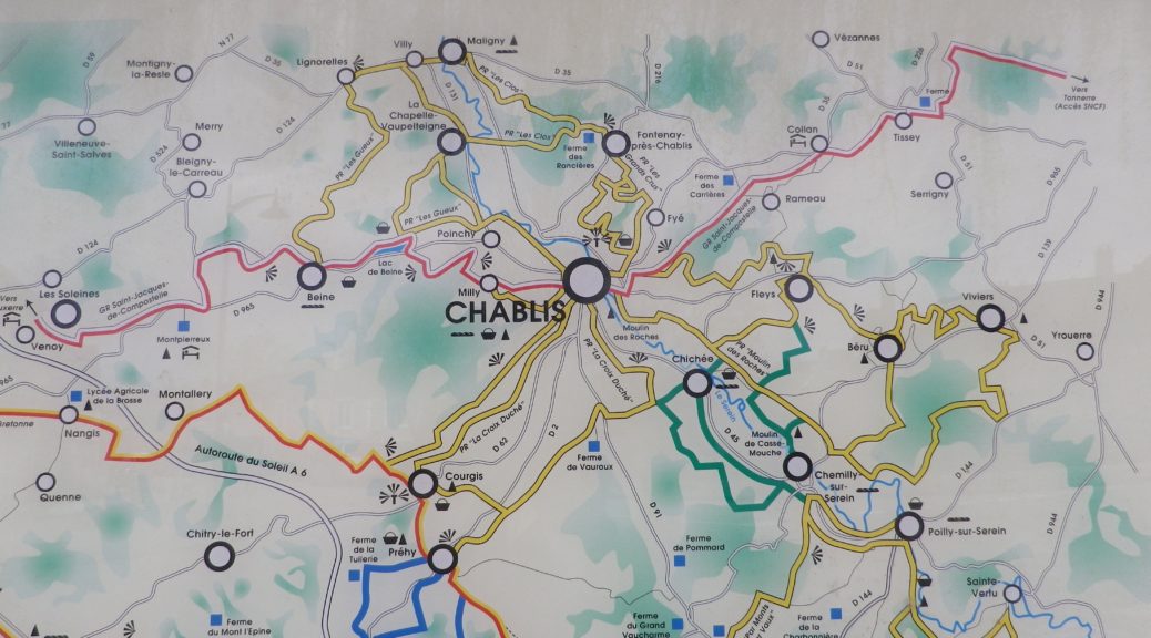
Hiking: A couple other longer loops of vineyard hiking options cover this area. See the trail link below.
Additional Information:
Regional: https://www.chablis.fr/
Trail specific: https://www.se-balader.fr/balade/chablis-les7grandscruslong-29952/ , https://www.lyonne.fr/chablis-89800/loisirs/balades-chablis-le-long-des-sept-grands-crus_11524105/#refresh, or for the 8-km route see https://www.chablis.fr/visitez/que-visiter/se-promener-dans-les-vignes/les-randonnees-viticoles-a-chablis,1261,7120.html
Comments:
In some places (both online and on the ground), the trail is also identified as “Balade des Grands Crus”.
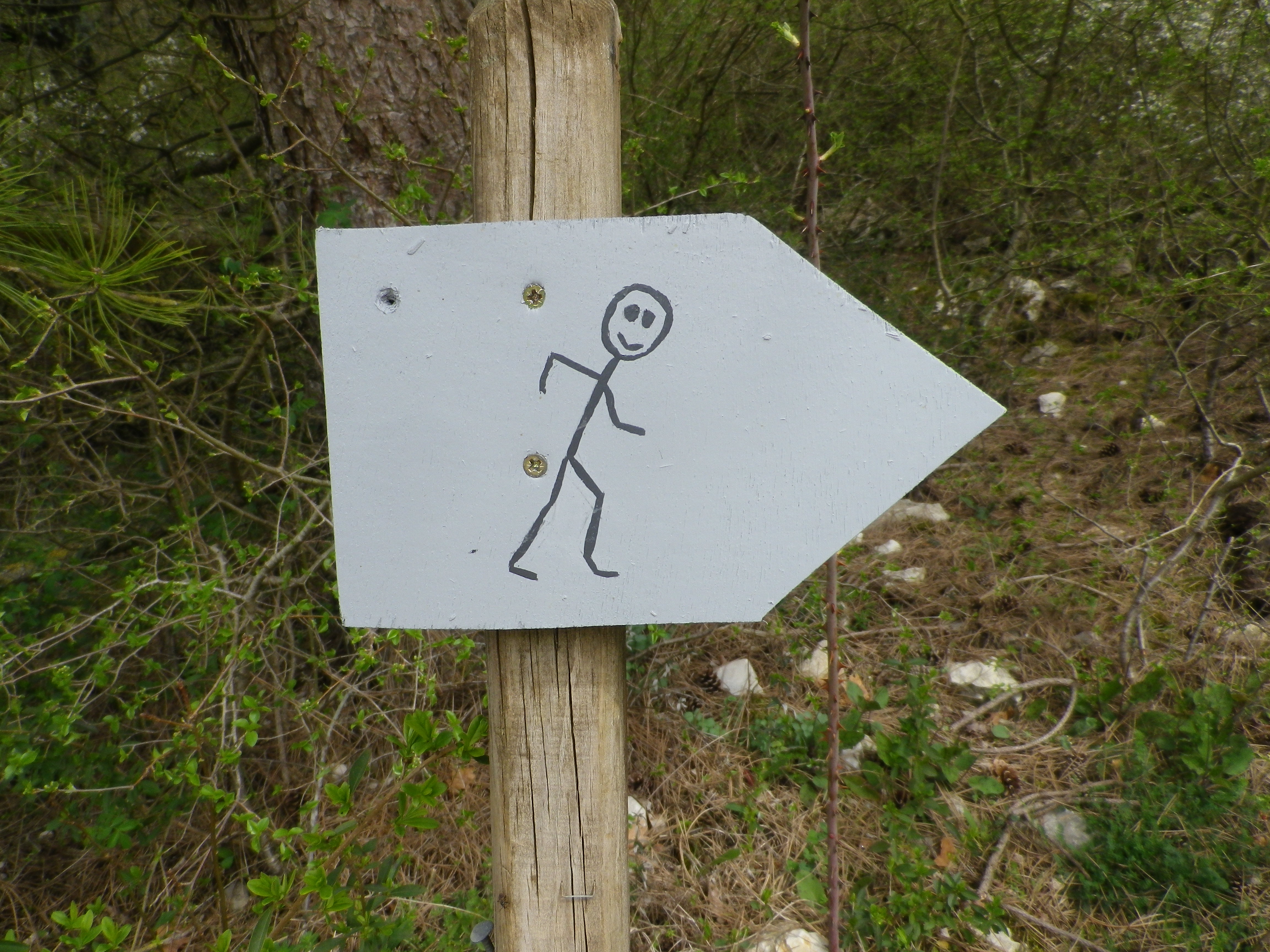
Marking was very ambiguous, at least when I completed this trail in late March 2018. I did not see any of the standard yellow directional markings, nor did I see any trail specific markings, unless these are they:

