Category Archives: Nutshell

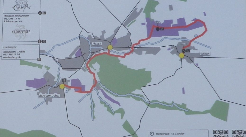
Worrenberg Weinwanderweg: Trail in a Nutshell


Trail Name:  Worrenberg Weinwanderweg (AKA: Weinwanderweg am Worrenberg)

Trail Type: Short-distance trail; well-maintained and asphalt or hard-packed surfaces, marking on the trail is okay

Length:

Total – about 3 kilometers/almost 2 miles

Convenient to:

Schaffhausen or Zurich, Switzerland

Marking:

Yellow signs with stylized man in solid black, or “Weinwanderweg” in red letters on a white rectangular sign.
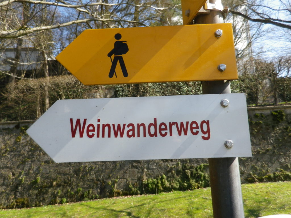
Signage for Worrenberg WWW


Trail Description: A very short and gentle hike through quiet, countryside, with vistas of rolling hills in the distance. Approximately one-quarter of the whole trail is shaded, as it passes through woods. The rest is in sun. Suitable for families with elementary-aged children, and very suitable for baby carriages (in all but a small section in the woods, where for less than 100 meters the going is a bit rougher) as well.

Trailheads:

Start: Berg am Irchel: Dorfstr

End: Volken: Flaachtalstr

Parking:

Parking spots are here and there along the lanes, and near fields on the outskirts of the villages.

Public Transportation Options:

Rail: The nearest station is in Andelfingen, with commuter service trains from Schaffhausen and Winterthur

Bus: The Swiss Postbus lines 670, 675 and 677 service these villages

Suggested Stages:

Not applicable

Trail Itinerary-Reference Points: (West-East)

Berg am Irchel: Dorfstr, Schlossstr, fields, along stream; Flaach: cross Oberdorfstr, Andelfingerstr, through vines on and up a slope; Volken: Glemettenstr, Flaachtalstr

Representative Trail Photos:
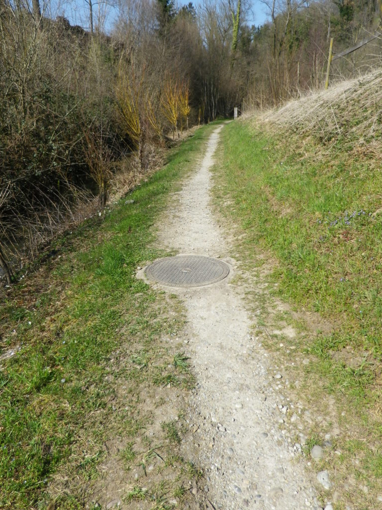
Surface Sample outside Villages


Restrooms: None observed

Attractions on or near Trail:

None observed

Tasting along the Trail:

Weingut Bauer in Berg am Irchel; Weingut Kilchsperger in Flaach; Weingut Zur Post (also a tavern) in Volken.

Alternative Options:

Hiking: Other hiking possibilities are available from local tourist offices/information points.

Biking:

-The 18 kilometer/11 milesWorrenberg-Thur bike tour follows from Flaach, over the Worrenberg, along the Thur River, then a bit along the Rhine River before returning to Flaach. Listed as medium plus difficulty.

-Part of the 90 kilometer-long Ostschweizer Weinroute (Wine Route), passes through Ossingen, about 10 km/6 miles away, on its way from Sankt Gallen to Schaffhausen, and the Rheinfalls.

Additional Information:

Regional: https://www.zuercher-weinland.ch/

Trail specific: http://www.worrenberg.net/Weinwanderweg/

Comments:

None


 Weinbergwanderung Kaiserberg: Trail in a Nutshell


Trail Name:  Weinbergwanderung Kaiserberg AKA Weinwanderwege am Kaiserberg

Trail Type: Short distance figure eight circuit; well-maintained and almost exclusively paved, fairly good marking on the trail.

Length: 9.75 kilometers/6 miles

Convenient to: Offenburg, Freiburg, Baden-Wuerttemberg, Germany

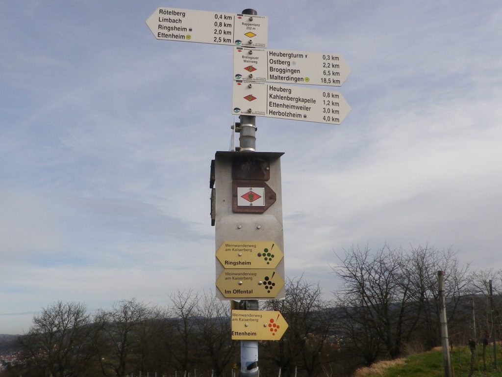
Marking: Small, yellow aluminum signs with black lettering and stylized black grapes on the side. (Bottom three in the photo below)

Many Trails, Many Signs on the Kaiserberg


Trail Description:

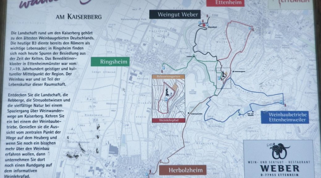
This moderately challenging hike (with several inclines and declines), covers the Kaiserberg, a hilly and wonderfully rural area set in the foothills of the Black Forest, yet not far from more urban areas. The biggest towns of Herbolzheim and Ettenheim sponsor several marked wine-themed trails, to include a short wine education trail through the vineyards. This trail, sponsored originally by the Weber winery, joins segments of these shorter trails to make a longer circuit, suitable for families young and old, and even cyclists.

Trailhead:

Ettenheim, Im Offental

Parking:

Ettenheim has a number of small parking lots, not too far from the trail. The closest is on Schwarzwaldstrasse

A small, unimproved parking lot at the top of the main Kaiserberg hill may be reached via Ringsheim’s Bergwerkstrasse.

See the additional comment below about parking.

Public Transportation Options:

Rail: Regional trains DB and SBB) frequently service the Ettenheim area (The closest station to the trail is Ringsheim.)

Bus: Sudbadenbus services this area, and provides route and schedule information at www.suedbadenbus.de

Suggested Stages:

Either the northern or southern half of the figure eight circuit may be hiked separately

Trail Itinerary-Reference Points: (Counterclockwise)

Ettenheim: Im Offental, through the Weber winery complex, vineyards, past a memorial with benches; up a draw between vines and woodline; past Kahlenbergkapelle (chapel); toward Lindenmann-Hutte (hut), scenic overlook with boulders; downhill into vineyards; past a hut; On Margarten, past Hummels Viehweid Straussi (Tavern), continue through vineyards; through intersection/section of trail by Kahlenbergkapelle; Heubergturm; through vineyards, return to Weber winery.

Representative Trail Photos:

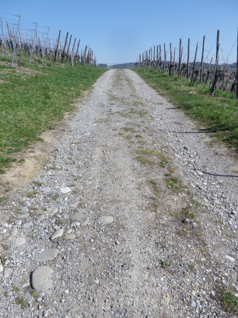
Sample Non-Asphalt Surface of Trail


Restrooms:

Heubergturm (on the trail) has restrooms, but they are sometimes locked.

Attractions on or near Trail:

Just lots of bucolic scenery.

Tasting along the Trail:

Weber winery, and two seasonal taverns: the Heubergturm, and Hummels Viehweid Straussi; all right on the trail.

Alternative Options:

Hiking: In addition to the long-distance/multi-day Breisgauer Weinweg (see the Nutshell here), there are several circuit hikes. These range from 1 to 5 kilometers, and may be combined for more distance and hiking pleasure. See Ettenheim’s https://www.ettenheim.de/weinwanderwege-am-kaiserberg to download the flyer.

Car: The Badische Weinstrasse, a 200-kilometer car route for wine enthusiasts, begins in Baden-Baden and ends at Weil Am Rhein (on the Swiss border). It roughly follows Highway 3 from north to south, passing through the towns listed here.

Additional Information:

Regional: https://www.ettenheim.de/tourismus-kultur-freizeit

Trail specific: https://www.outdooractive.com/de/wanderung/schwarzwald/weinbergwanderung-kaiserberg-weingut-weber-ettenheim/117526408/#dm=1

Comments:

The Weber winery actively promotes hiking, hence many Weber signs and some events happen here in the vineyards on the Kaiserberg. However, while parking may be allowed in their large parking lot during those times, the sign otherwise notes that parking is only for winery customers.

One small section of the trail, the roughest surface section, was closed off that day due to the danger of falling trees. However, an alternative was clearly marked, and rejoined the trail within a few hundred meters.

Sentier des Terroirs: Trail in a Nutshell


Trail Name:  Sentier des Terroirs

Trail Type: Short to mid-distance circuit trail; well-maintained and widely varying surfaces from paved to very rough, marking on the trail very good in places, completely missing in others

Length:

Total – About 18 kilometers/11 miles

Southern/yellow circuit: 9.35 kilometers/5.8 miles.

Convenient to:

Montelimar or Nyons, France

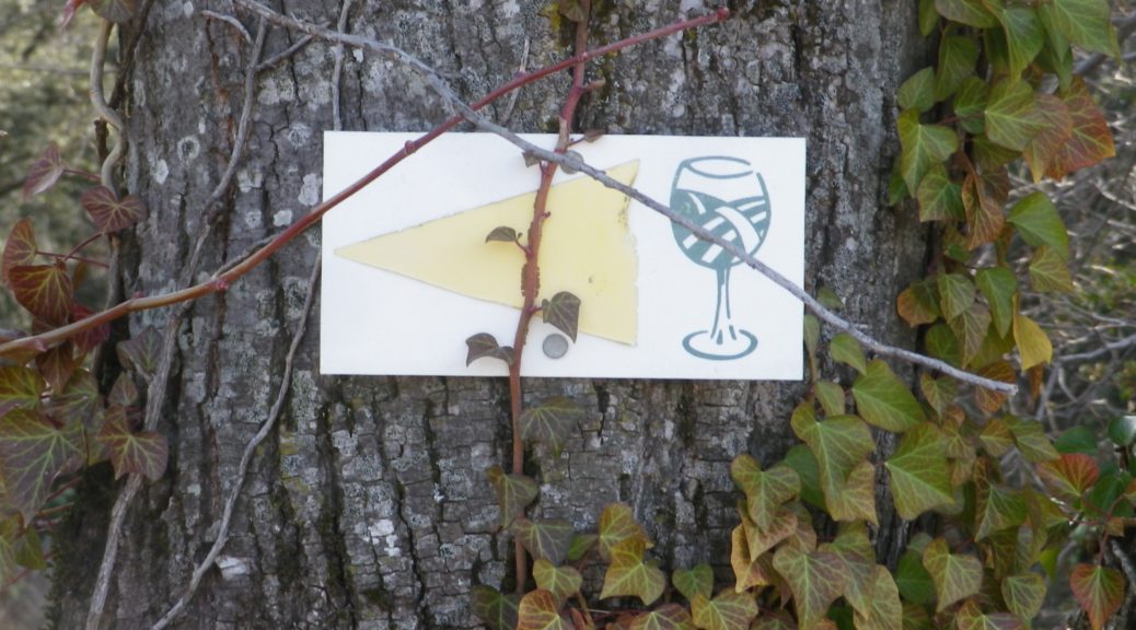
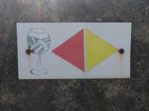
Marking: Numbered wine bottles (some missing) in part, red or yellow arrows with a stylized vineyard area depicted in a wine glass, in other places

Signage for Red and Yellow Trail where Conjoined

(The featured photo on top shows signage for the Yellow trail only.)

Trail Description: A relatively easy, family-friendly and varied trail offering wine education (close to the village), garrigue and vineyard landscapes, overlooked by tall mountains to the east. The trail has two conjoined circuits, making it possible to adapt hiking plans, depending on available time or weather situations. (See the comment below about flooding.)

Trailhead:

St Pantaleon-Les-Vignes: By the townhall (with church-like tower); or Cave Vignerons, Route de Nyons 1

Parking:

St Pantaleon: just off traffic circle, or by the town hall (Mairie), D548 x D541, and by Chateau Urdy

Public Transportation Options:

Rail: The closest rail service is at Montelimar, with good connections plying the major French North-South artery of the Rhone.

Bus: Buses provided by the Auvergne-Rhone-Alps Region (Oura on the website) “Cars Region” service, frequently connect Saint Pantaleon, Rousset, and Taulignan, with Montelimar, (and the rest of France).

Suggested Stages:

The full trail (both northern (heading to Rousset les Vignes) and southern halves) can be done together, or separately.

Trail Itinerary-Reference Points: (Southern circuit only – Clockwise)

Traffic circle on D 541/Rte. de Nyons – Montelimar, D548 -Grand Grange, right fork to Route des Juliannes; La Beaume, cross bridge over the Rieumau creek, Cross D541/Plan du Gre/Rte. de Nyons; Fontaine de Barral; Chapel; Cross the viaduct over Torrent de la Fosse; Chateau Urdy; Traffic circle with super-sized “ wine corks;” Cross D541 to return to the village

Representative Trail Photos:

Section of Trail in Woods


Section of Rough Trail Surface


Section of Trail


Restrooms:

In the village, by the church.

Attractions on or near Trail:

The Vignerons de Valleon winery offers tours and tastings to the public, are open liberal hours, and are very helpful and knowledgeable about the wines, as well as about the area and the trail.

Tasting along the Trail:

Chateau d’Urdy

Cave Vignerons de Valleon

Alternative Options:

Car: The Route de la Drome Provencale passes through Taulignan, St Pantaleon-Les-Vignes and Rousset-Les-Vignes, showcasing vineyards, quiet villages and beautiful old structures.

Additional Information:

Regional: https://www.grignanvalreas-tourisme.com/votre-sejour/agenda/

Trail specific: While not much is available online (to help with advance planning), the following website has a map of the southern route http://balades26-07.blogspot.com/2017/01/st-pantaleon-les-vignes-nd-de-sante-par.html (a big “Merci!”); and a map of the northern route may be found online at https://www.valleon.fr/un-terroir-et-des-hommes/, and at the winery’s front office, and the townhall.

Comments:

Snow is rare in this area, but…

Heavy rain can occur, and will flood parts of this trail, especially the low ground at the base of the hill south of the hamlet of Barral, at the Torrent de la Fosse!


Tauberschwarzweg: Trail in a Nutshell


Trail Name:  Tauberschwarzweg

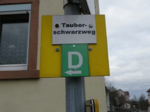
Trail Type: Mid-distance circuit trail; well-maintained and about half is paved, the other surfaces are grass and earthen; marking on the trail is somewhat good, but a map is strongly advised.

Length: circa13 kilometers/8 miles (See comments below)

Convenient to: Wertheim, or Wuerzburg, Germany

Marking: The capital letter “D”

Trail Signage: D for Tauberschwarzweg

Continue reading Tauberschwarzweg: Trail in a Nutshell

Cote Chalonnaise: Trail in a Nutshell


Trail Name: Decouverte Nature de la Cote Chalonnaise (to give it the full name)

Trail Type: mid-distance circuit trail; fairly well-maintained and very diverse trail surfaces, marking on the trail overall fairly good in some places, but missing in others

Length:

Total – 10 kilometers/6.2 miles

Convenient to: Chalon-sur-Saone, France

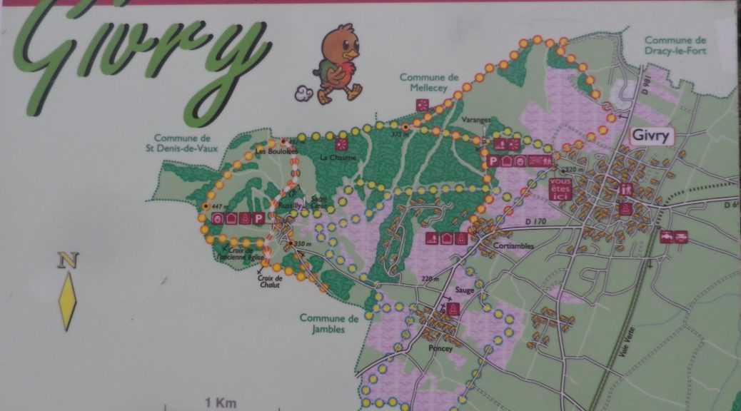
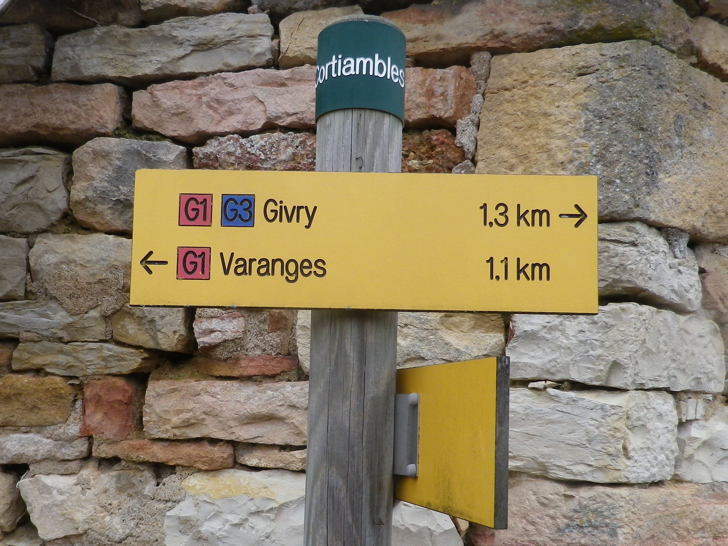
Marking: Varies, (G2, G3, and in one section red and white bars) but key spots are identified by location posts, and any or all of the above markings.

Cortiambles: Trail Sign on Location Post

Continue reading Cote Chalonnaise: Trail in a Nutshell

 Wein & Wald Runde: Trail in a Nutshell


Trail Name:  Wein & Wald Runde (Wine and Woods Circuit) (AKA: SB3)

Trail Type: Mid-distance cycling itinerary circuit; well-maintained, with much of it paved, and well-marked, along most of the itinerary route

Length:

Total – 28 kilometers/17.4 miles

Convenient to: Heilbronn, Germany

Marking: SB3 and trail name letters in white on a colorful square metal sign

SB3 Wein & Wald Runde Sign

Continue reading  Wein & Wald Runde: Trail in a Nutshell

Weinfelden Weinweg: Trail in a Nutshell


Trail Name:  Weinfelden Weinweg

Trail Type: A short distance circuit; well-maintained and almost exclusively paved, good marking on the trail

Length:

Total – 9 kilometers/6 miles

Convenient to: St Gallen, Switzerland; Konstanz, Germany

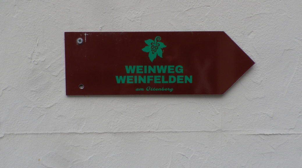
Marking: Burgundy colored metal arrow, with green grape leaf and trail name letters. See featured photo above.

Continue reading Weinfelden Weinweg: Trail in a Nutshell

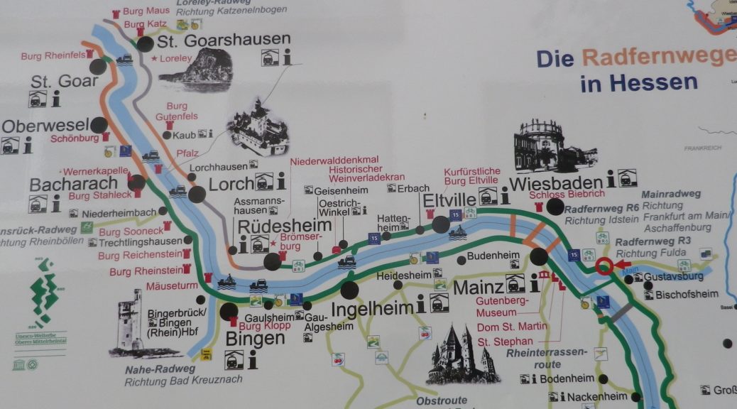
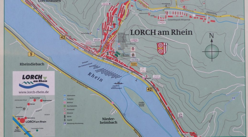
Rheingauer Riesling Route: Trail in a Nutshell


Trail Name: Rheingauer Riesling Route

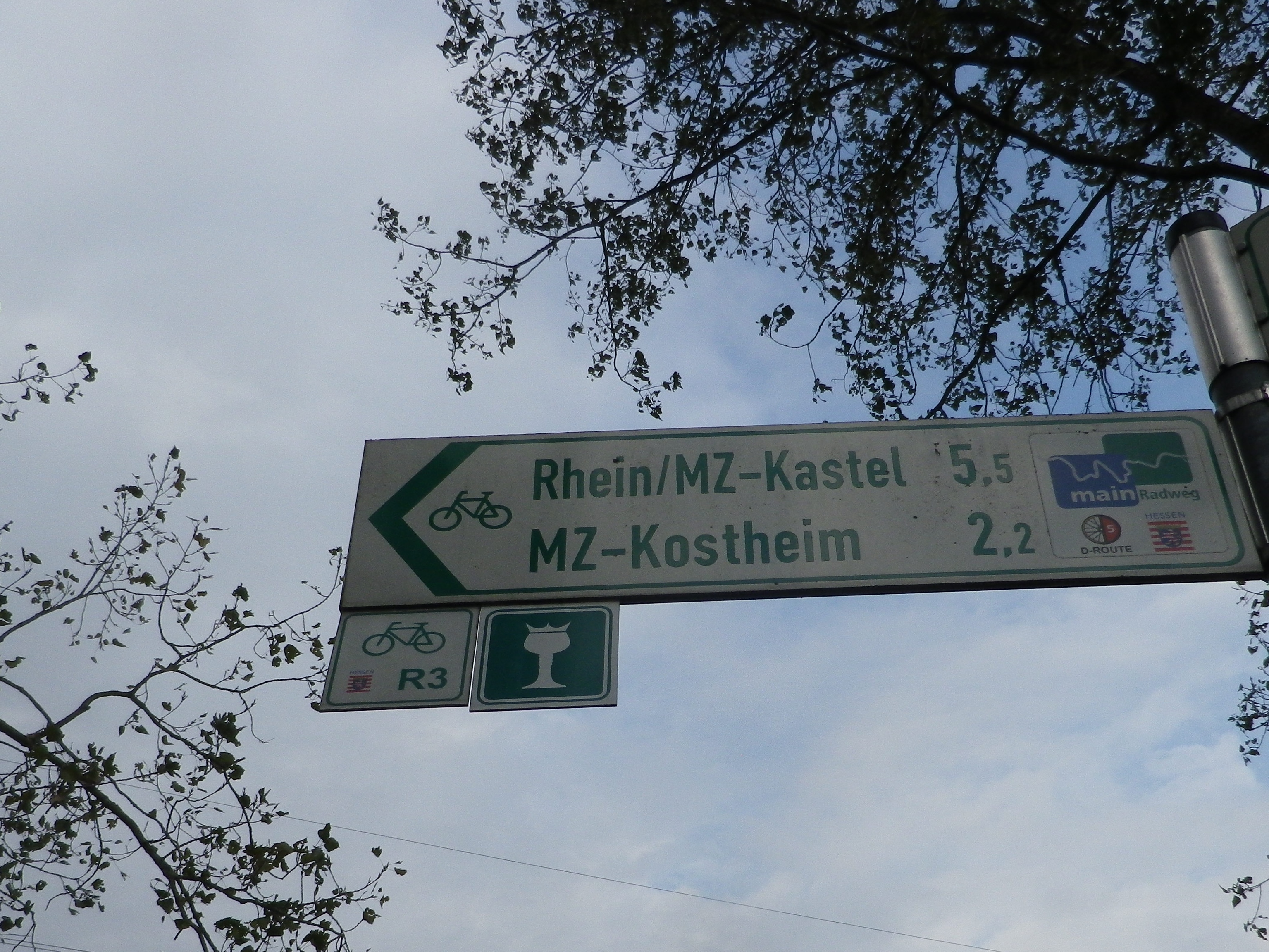
Trail Type: Long distance trail; almost exclusively paved, well maintained; the route itself is marked in part with the wine glass marking (see below), and other parts are marked with an R3.

Length:

Total: 62 kilometers/38.5 miles (Kaub to Floersheim)

Segment: 49 kilometers/30.5 miles (Ruedesheim to Floersheim)

Convenient to: Wiesbaden, or Mainz, Germany

Marking:

White wine glass with a crown on a green background; Alternatively: R3 and R3a (variant to Kloster Eberbach). Where the icon marking is not easily found, follow the R3 or R3a signs.

Signage for Various Cycling Trails

Continue reading Rheingauer Riesling Route: Trail in a Nutshell

Rheingauer Riesling Pfad: Trail in a Nutshell


Trail Name:  Rheingauer Riesling Pfad

Trail Type: A long-distance hiking trail; well-maintained and with a variety of trail surfaces; marking on the trail very good.

Length:

Total – 91 kilometers/55.5 miles

Segment: about 30 kilometers/about 19 miles

Convenient to: Mainz, Wiesbaden, Germany

Marking: Yellow (or white) wine glass with a crown, on a (usually) green background

Rheingauer Riesling Pfad

Continue reading Rheingauer Riesling Pfad: Trail in a Nutshell

Bodensee Radweg: Trail in a Nutshell


Trail Name:  Bodensee Radweg (Lake Constance Bike Trail) – Untersee segment

Trail Type: long-distance, multinational cycling circuit; very well-maintained and almost exclusively paved, with excellent marking along the trail

Length:

Total – Full Bodensee Radweg is 270 kilometers/167.75 miles

Segment: Untersee circuit only is 72 kilometers/44.75 miles

Convenient to: Konstanz, Germany/Kreuzlingen, Switzerland

Marking: Stylized black stick figure on bike with blue rear wheel, on a white background Trail Description:

Bodensee Radweg Signage

Continue reading Bodensee Radweg: Trail in a Nutshell