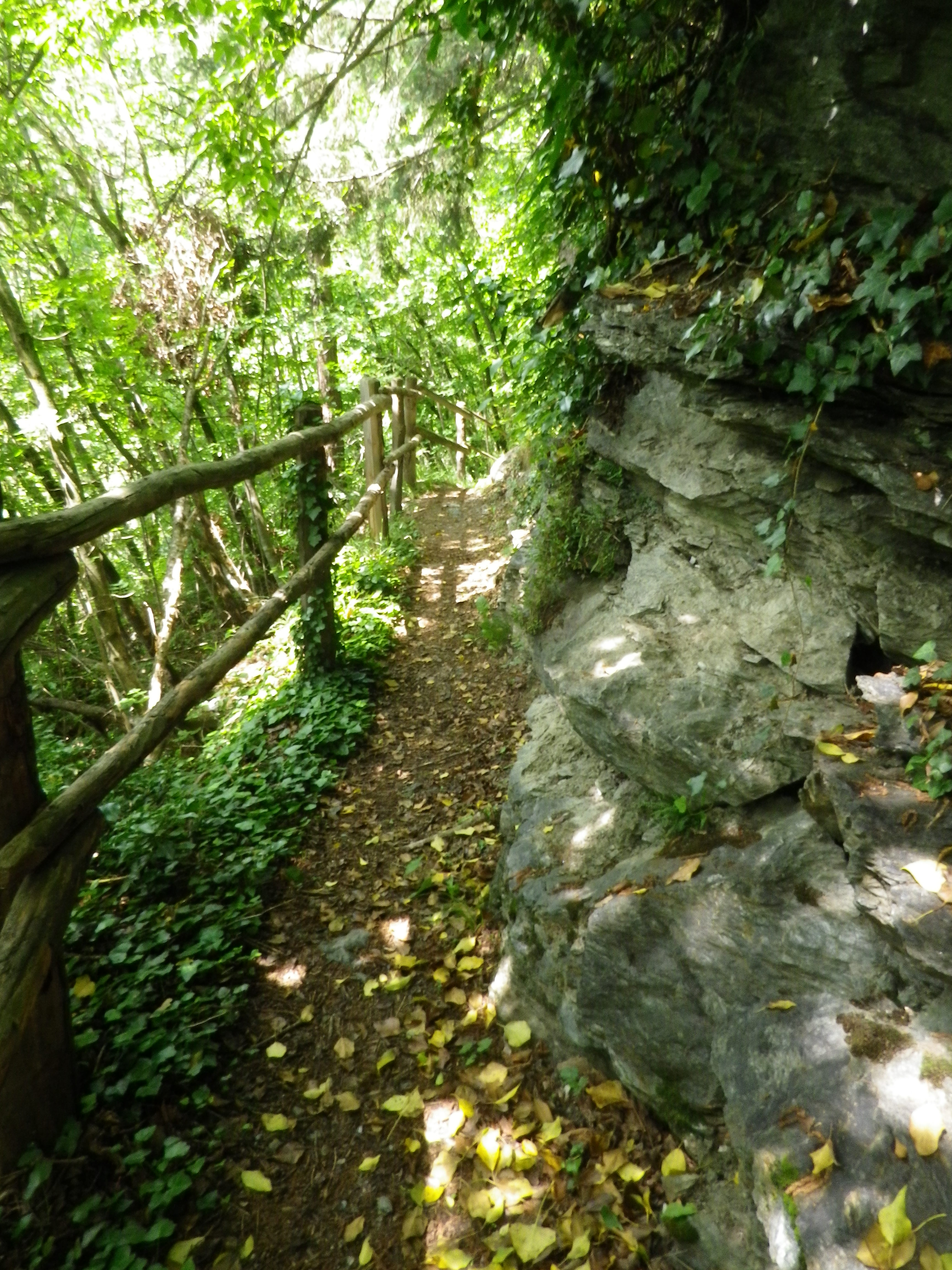
Category Archives: Hiking

Saale Weinwanderweg: Trail in a Nutshell


Trail Name:  Saale Weinwanderweg

Trail Type: Mid-distance circuit hiking trail; well-maintained and mostly smooth surfaces, much of it paved, but no trail-specific marking on the trail

Length:

Total – 25 kilometers/15.5 miles

Convenient to: Leipzig, Germany

Marking:

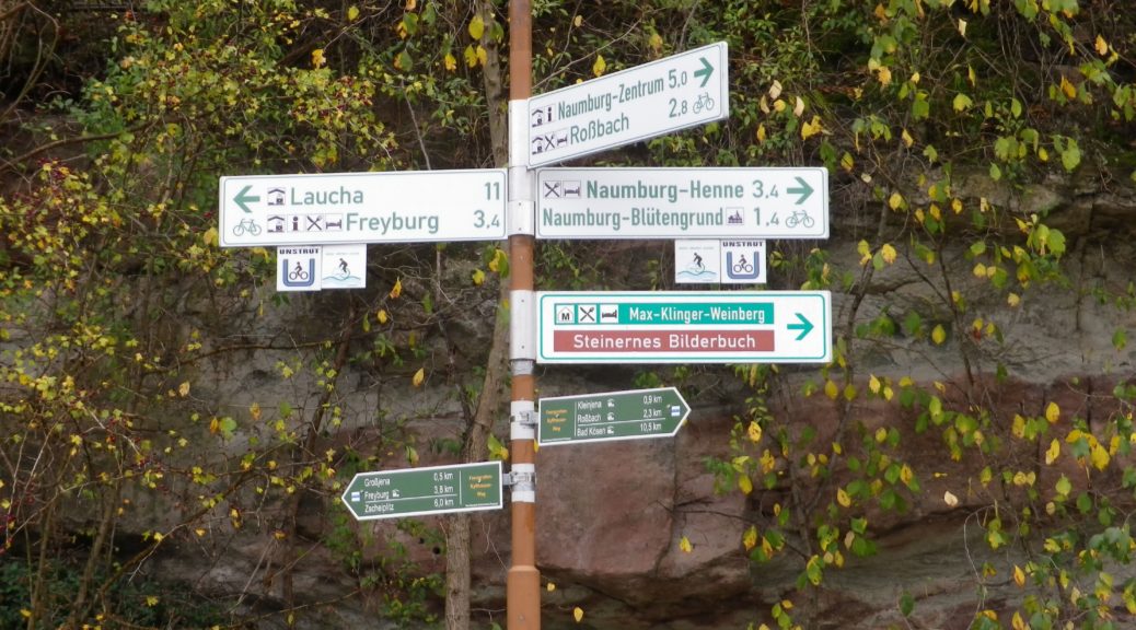
No trail-specific marking

Trail Description: A very easy, if not a bit long trail, with only one ascent of any challenge, through the largely isolated vineyard areas between Naumburg and Bad Koesen, and those two urban centers. While the scenery is less spectacular than other trails, the attraction here is found in the quiet and very laid-back countryside of this little-known wine region of northern Germany.

Trailhead: Marienring x Hallesche Str, Naumburg, Saxony-Anhalt, Germany

Parking:

Naumburg (just before the river crossing to Henne): a medium sized unimproved lot

Grossjena: K233x Wasserstr, just after the bridge, a small unimproved lot

Bad Koesen: by the sports field at the trailhead, at the end of Hallesche Strasse

Public Transportation Options:

Rail: DB (DeutscheBahn) regional trains serve this area, and the nearest, and undoubtedly largest, hub for services in the county is Leipzig.

Bus: PVG Burgenlandkreis serves the area with a combination of tram and bus lines. Check the website for details.

Suggested Stages: Not applicable

Trail Itinerary-Reference Points: (Counterclockwise)

Naumburg:, Hallesche Str-Hallesche Anger, along the Saale, over river on Hallesche Str; Henne: past the Naumburg Wein und Sekt Manufaktur, road turns to path; Along Bluetengrund toward Grossjena; Cross Unstrut after 500 meters passing the Max Klinger Museum entrance; Kleinjena: Friedrich-Schulze Strasse, Unter den Reussen, path; Rossbach: Pass St Elizabeth church, Am Leihdenberg, Am Meisel, Trift, Weinberge; Pass the Steinmeister vineyards, Pass the Besenwirtschaft Dierking, Along Saale on Weinberge-Saaleberge, Pass Klosterpforta; Bad Koesen: Saalstr, cross the bridge, Naumbergerstr/B87, An der Kleinen Saale; Schulpforte; woods, Panoramaweg, Koesener Str, Michaelisstr, Lindenring, Herrenstr, pass the town hall on the main square, Marienstr.

Representative Trail Photos:
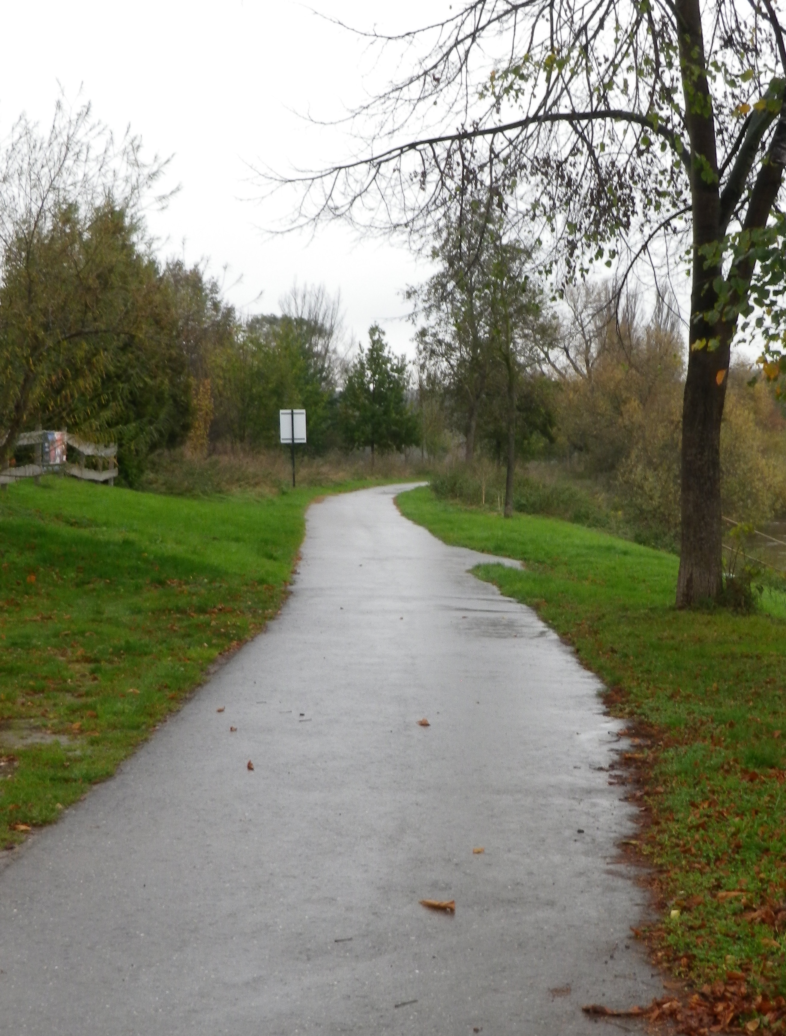
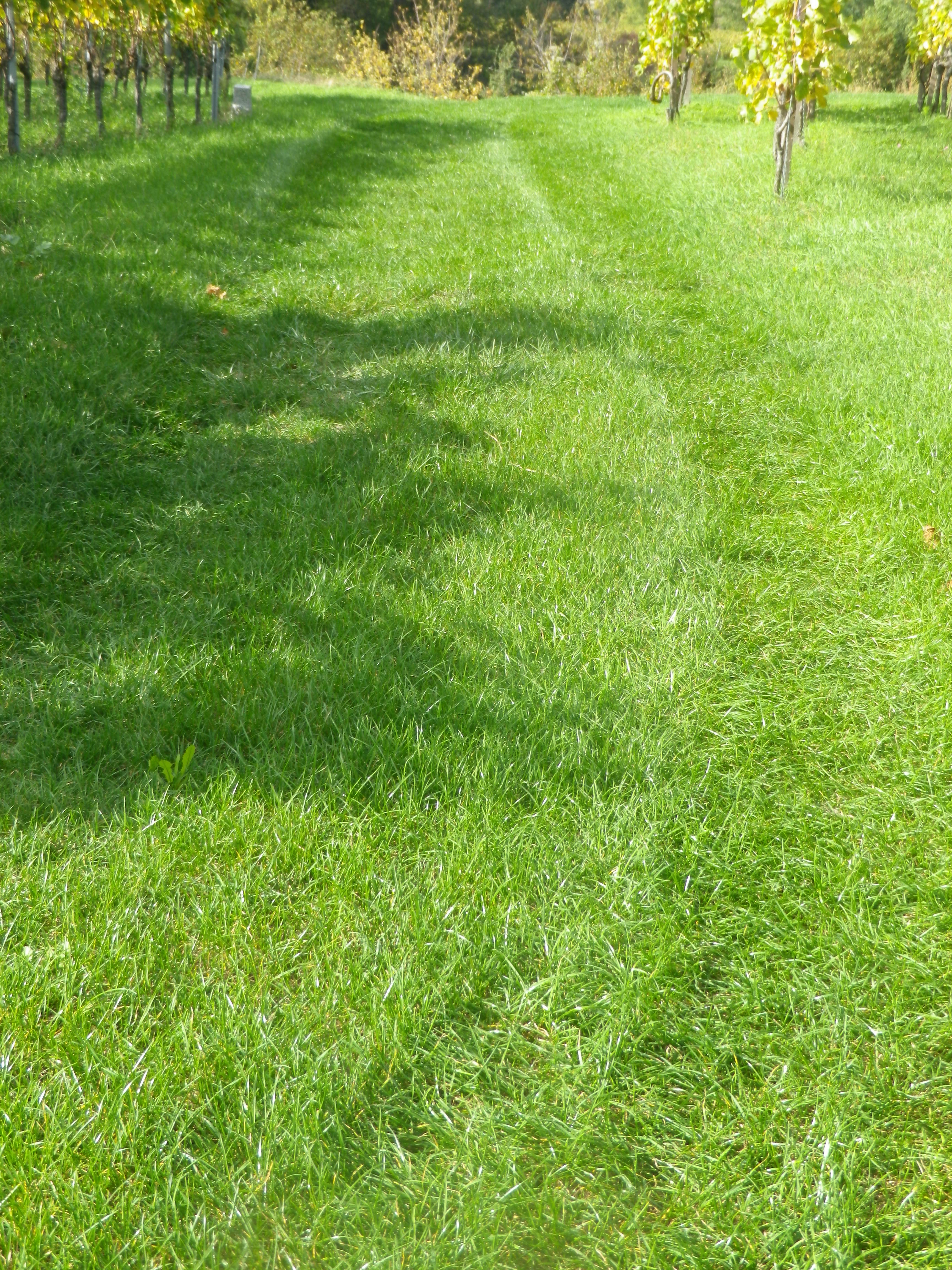
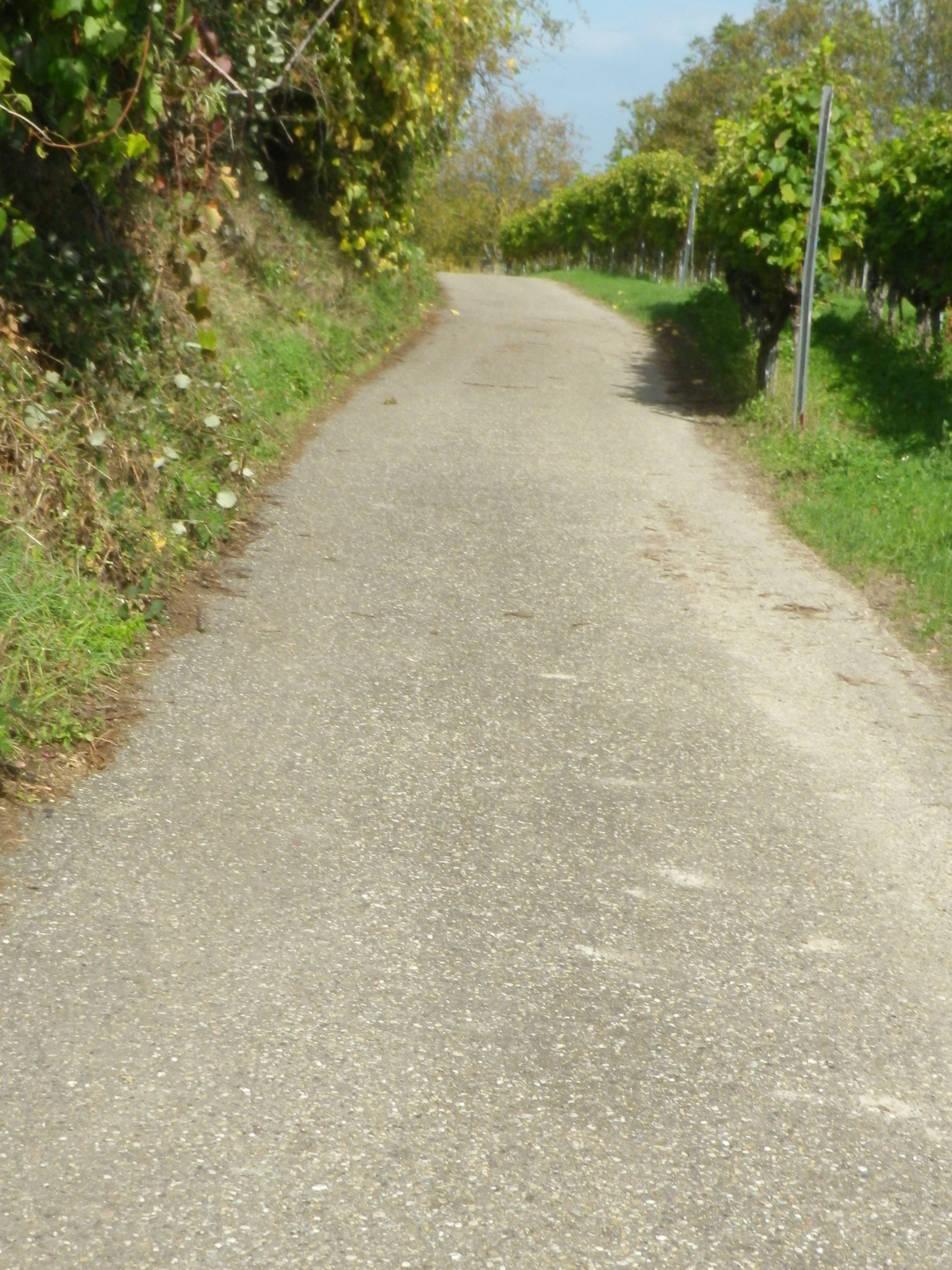
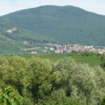
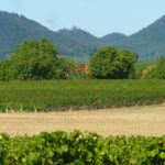
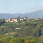
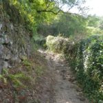
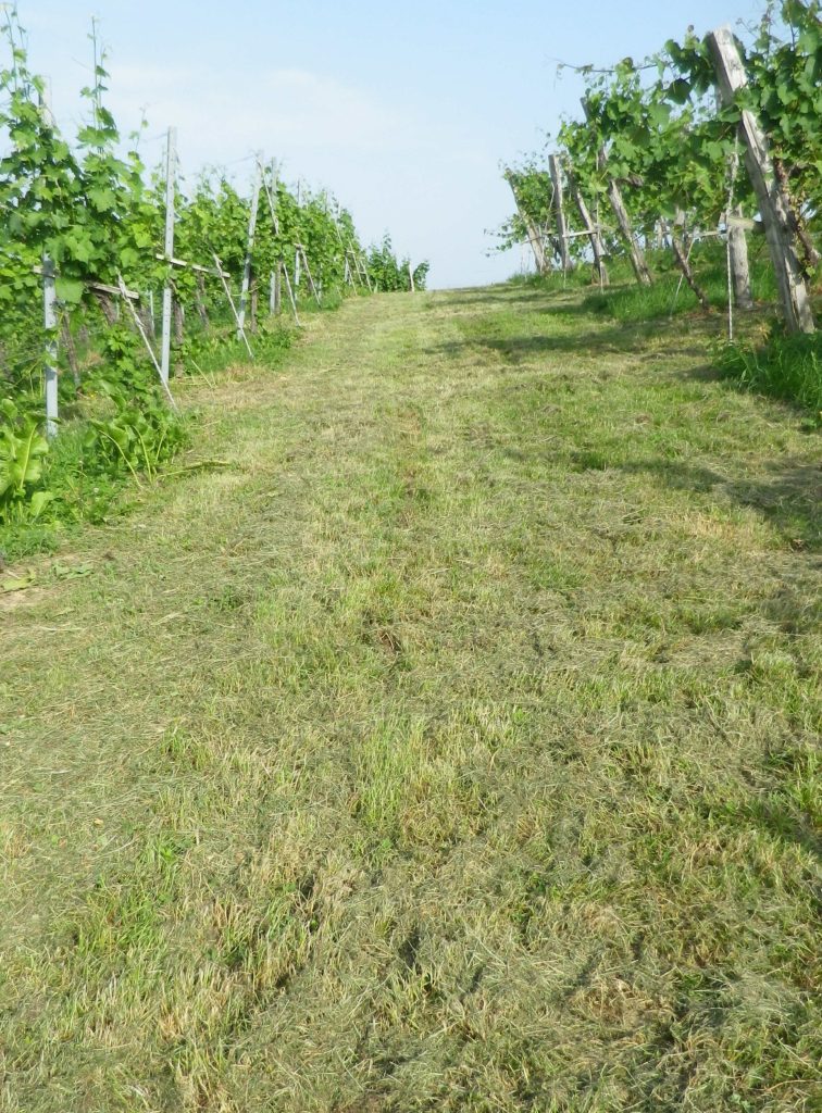
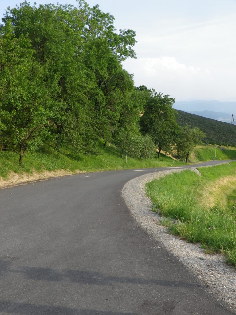
Section of Hike and Bike Surface


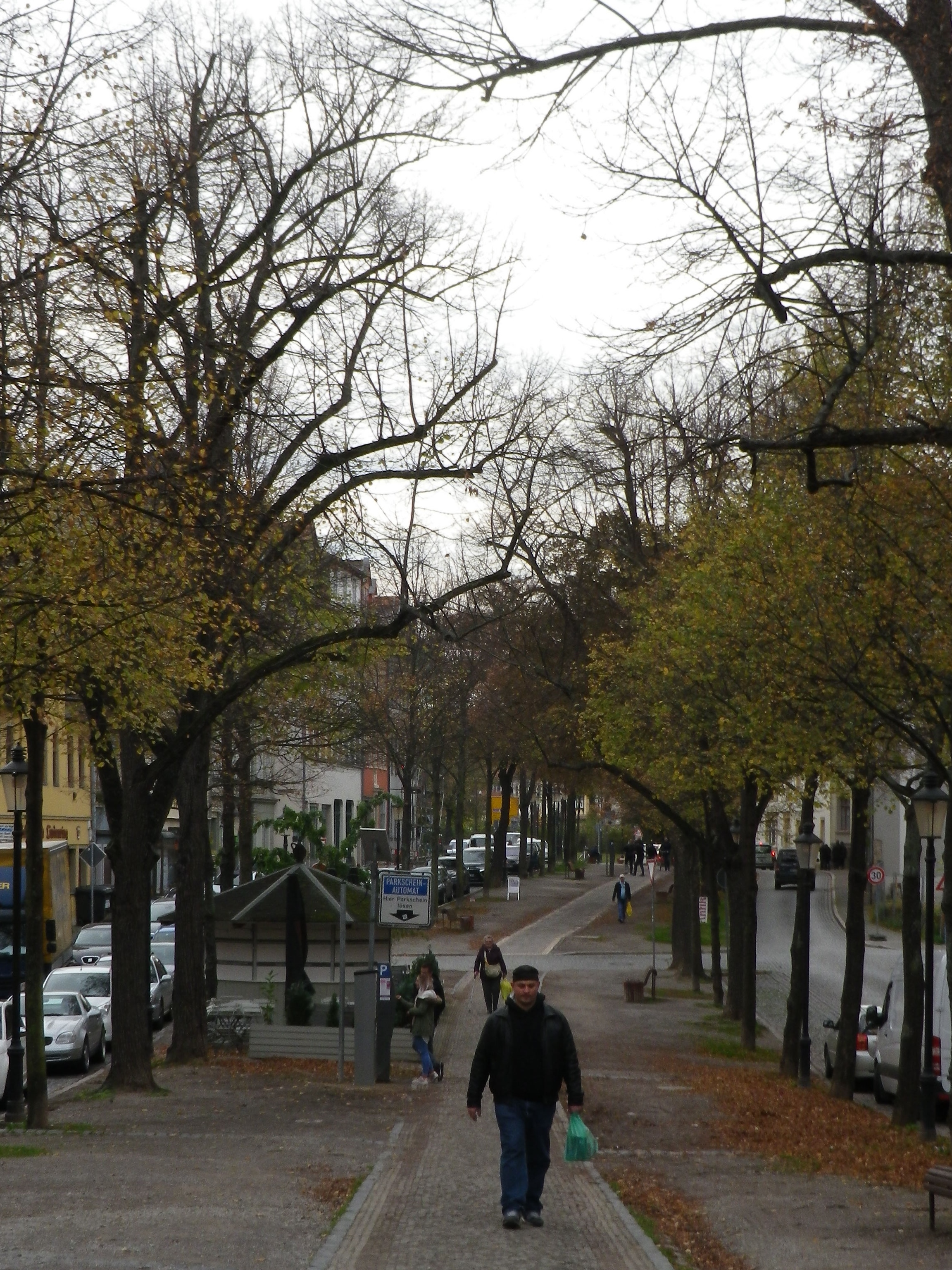
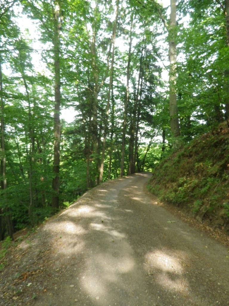
Trail Section Through Naumburg


Restrooms:

No public ones observed

Attractions on or near Trail:

Max Klinger Museum, just outside Grossjena, dedicated to a well-known local artist, who also had his own vineyards on the grounds.

The local wine museum is located between Grossjena and Freyburg, in Schloss Neuenburg, a mile or so off the trail.

Tasting along the Trail:

Trail boasts numerous vintner establishments along the way, but the Wein und Sekt Manufaktur in Naumburg-Henne, Kloster Pforta, Schulpforte, and the wineries between Rossbach and Bad Koesen, are your best opportunities to purchase bottles.

Alternative Options:

Hiking:

-Weinlehrpfad Saale-Unstrut, a 12-kilometer (7.4 mile) trail along the vineyards on the Unstrut, starts in Laucha, and finishes by the bridge in Freyburg.

-Weinbergsweg, an 11-kilometer (6.8 mile) circuit around Bad Koesen, some of which is on the Saale Weinwanderweg.

Biking: The long-distance Saale Radweg, while not wine-themed, passes many of the wineries mentioned above, and is used by this hiking trail in part.

Additional Information:

Regional:

http://www.weinregion-saale-unstrut.de/ for wine tourism information concerning this wine region

https://www.saale-unstrut-tourismus.de/ for tourism in general in the Burgenland Kreis county

Trail specific: https://www.outdooractive.com/de/route/wanderung/saale-unstrut/saale-weinwanderweg-ab-naumburg/1405756/#dm=1

Comments:

Due to a  knee injury, I did not hike this trail itinerary, so I cannot comment on the ascent or the wooded section of this trail between Bad Koesen and Naumburg.
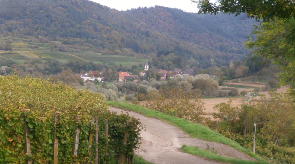
 

Of Vineyards and Villages


Mankind is often hard pressed to improve upon nature. Humans leave an indelible mark on the natural world, and sometimes their efforts can enhance our experiences. In these cases, not just the natural landscape, but also the manmade landscape can appeal equally.

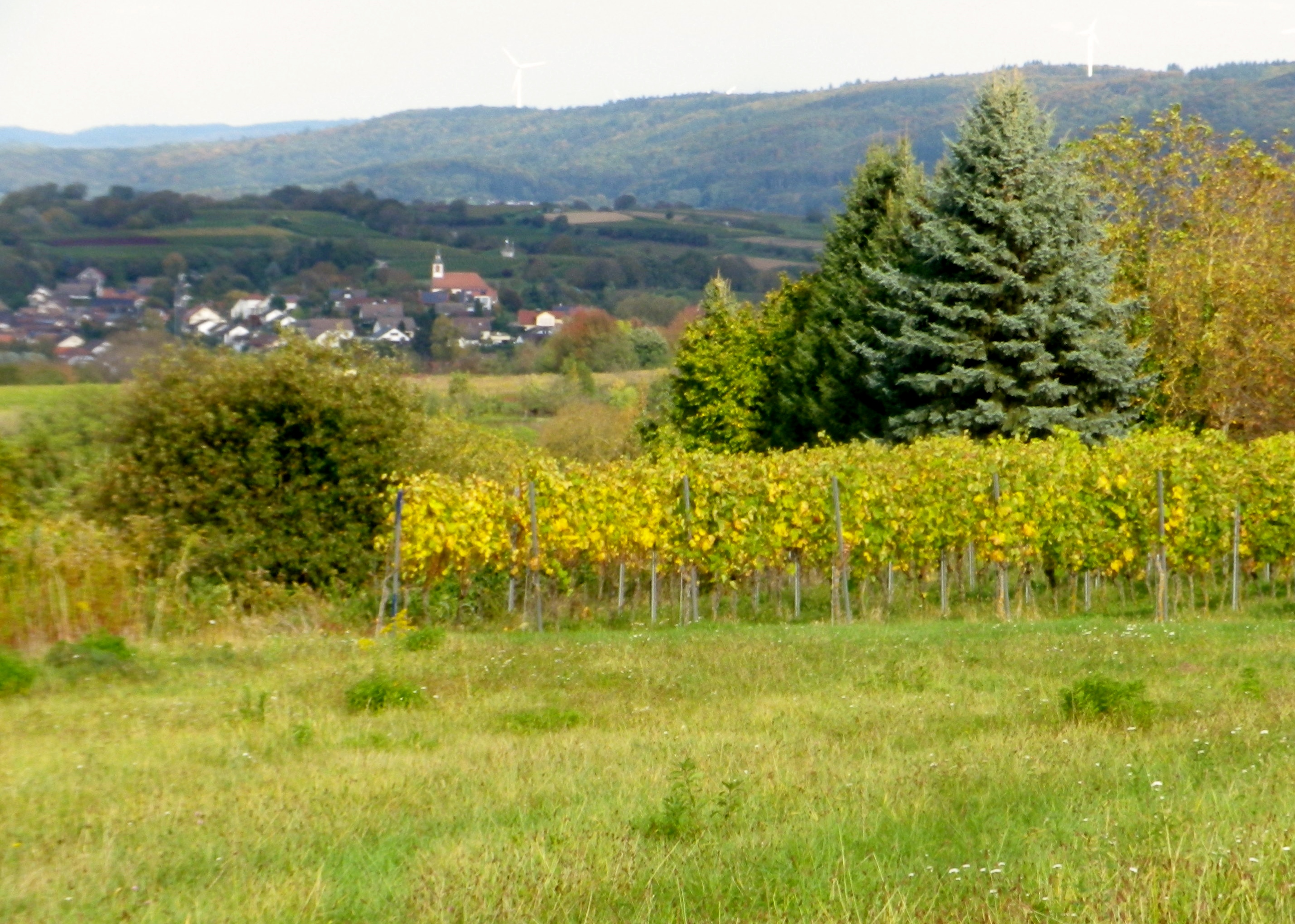
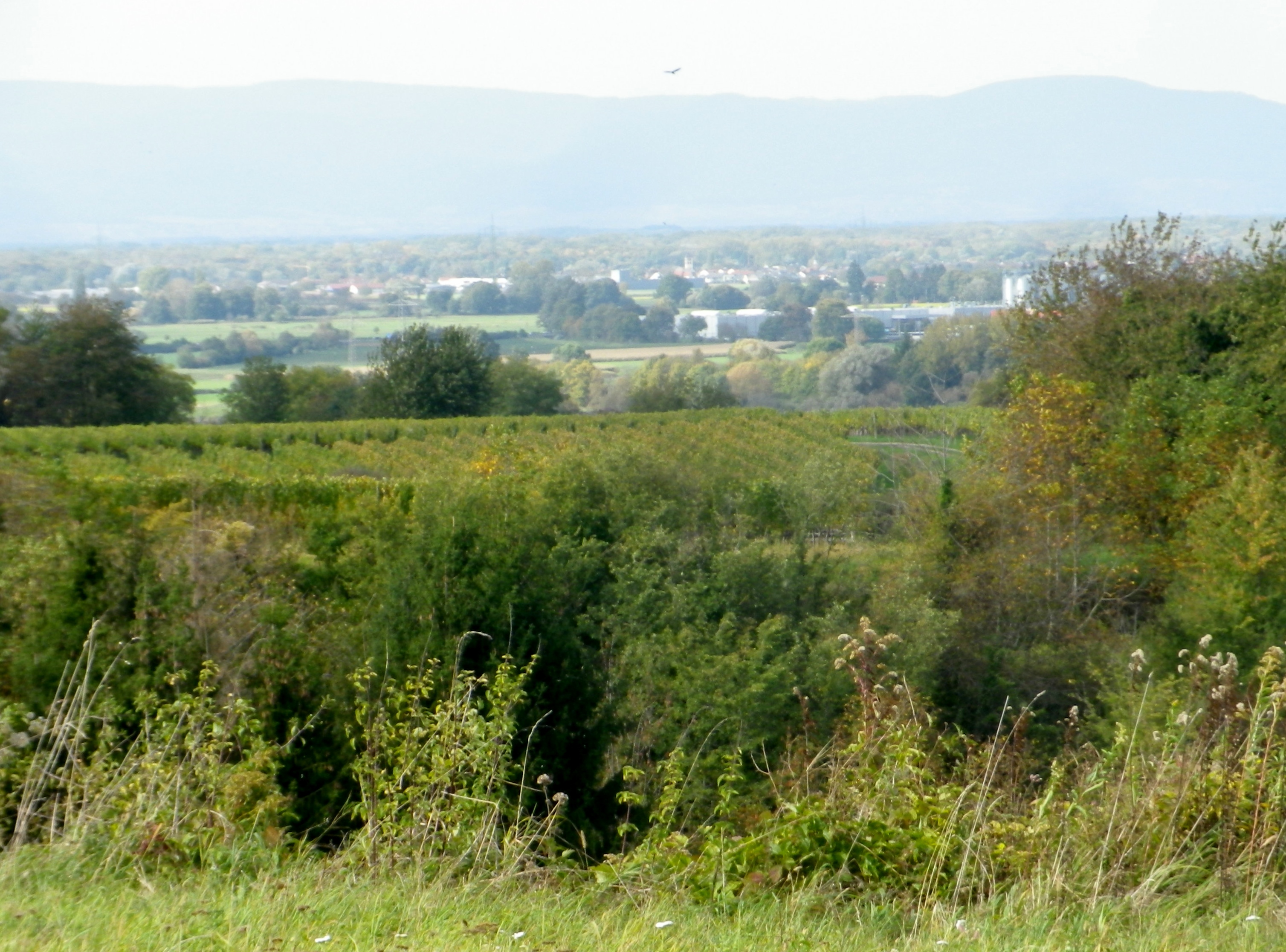
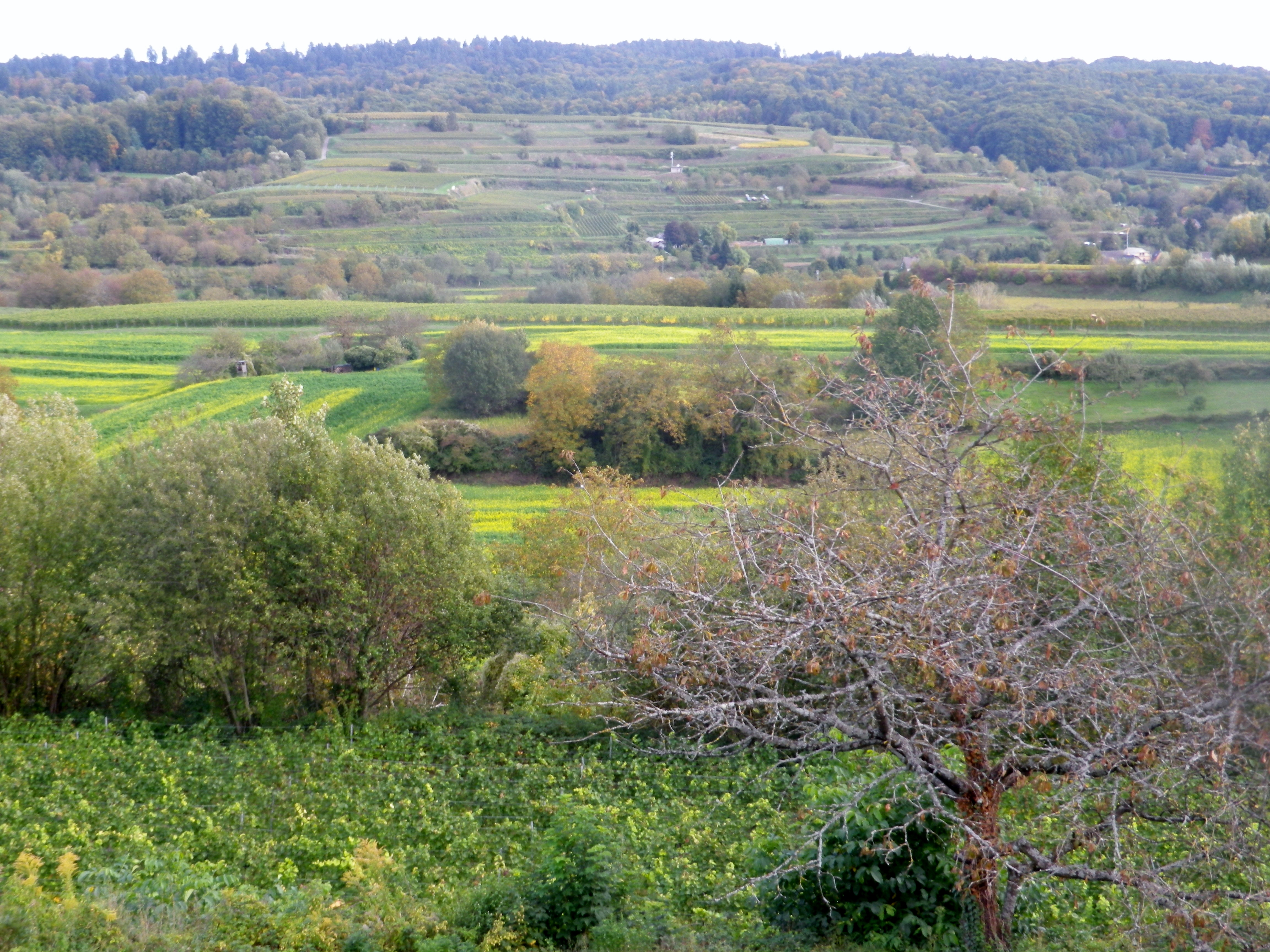
The Rebhisliweg itinerary focuses on manmade huts found in a beautiful, lush landscape. The circuit lies by Wagenstadt, in the Breisgau, a district of Baden. Topographically, layers of hills, some terraced, and ridgelines to the north, south and east devolve into the Black Forest, which appears as a mountain wall, capped by mixed forest vegetation. The dark greens of the fir trees, and the brilliant autumnal leaf colors add to the background. In the distant west, the majestic Vosges, turn from blue to purple as the evening approaches.

Violet Vosges and Yellow Leaves


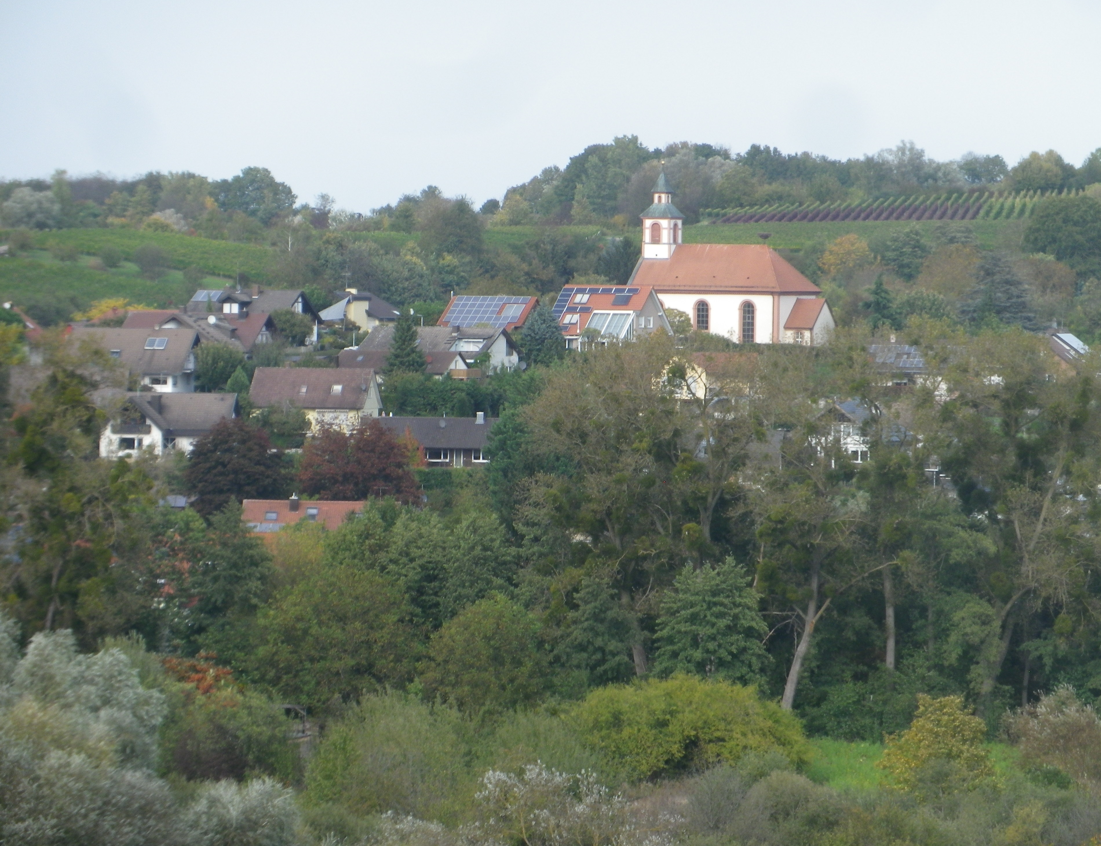
The nearby villages are compact gems, which harmonize, not distract, from nature. Set amongst vineyards, forests and fields, most buildings are only three stories at most. The red roofs set off nicely against nature’s greenery. The eye is drawn to, and then beyond, each village’s church steeple, or municipal bell tower. Each one distinct from the other, a sort of talisman for the inhabitants. The ridgelines ultimately dwarf them, but only because man’s construction draws the eye up, then away, onto that backdrop, thence to the mountain tops.  They serve to unite middle and distant vistas.

Bleichheim


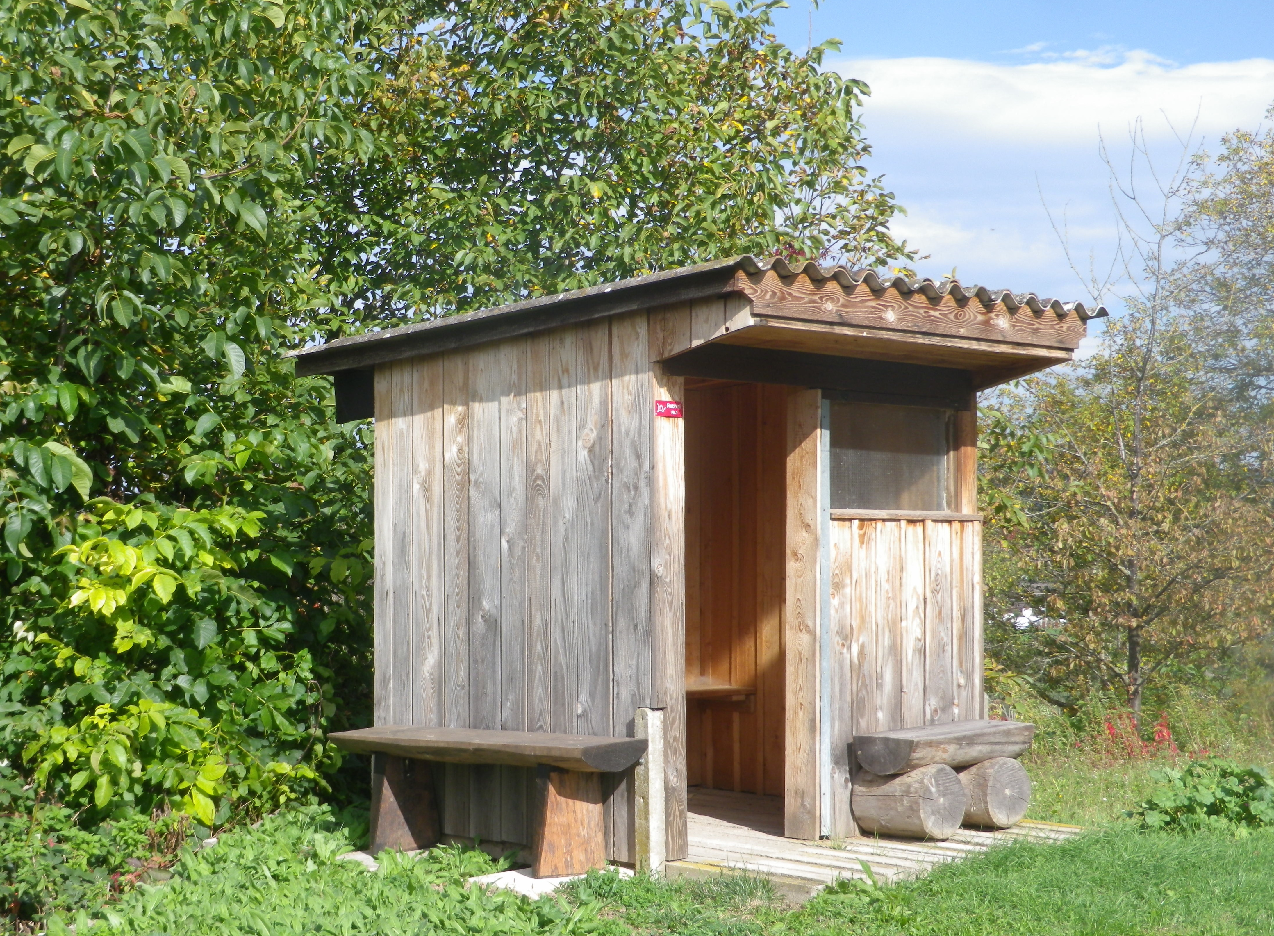
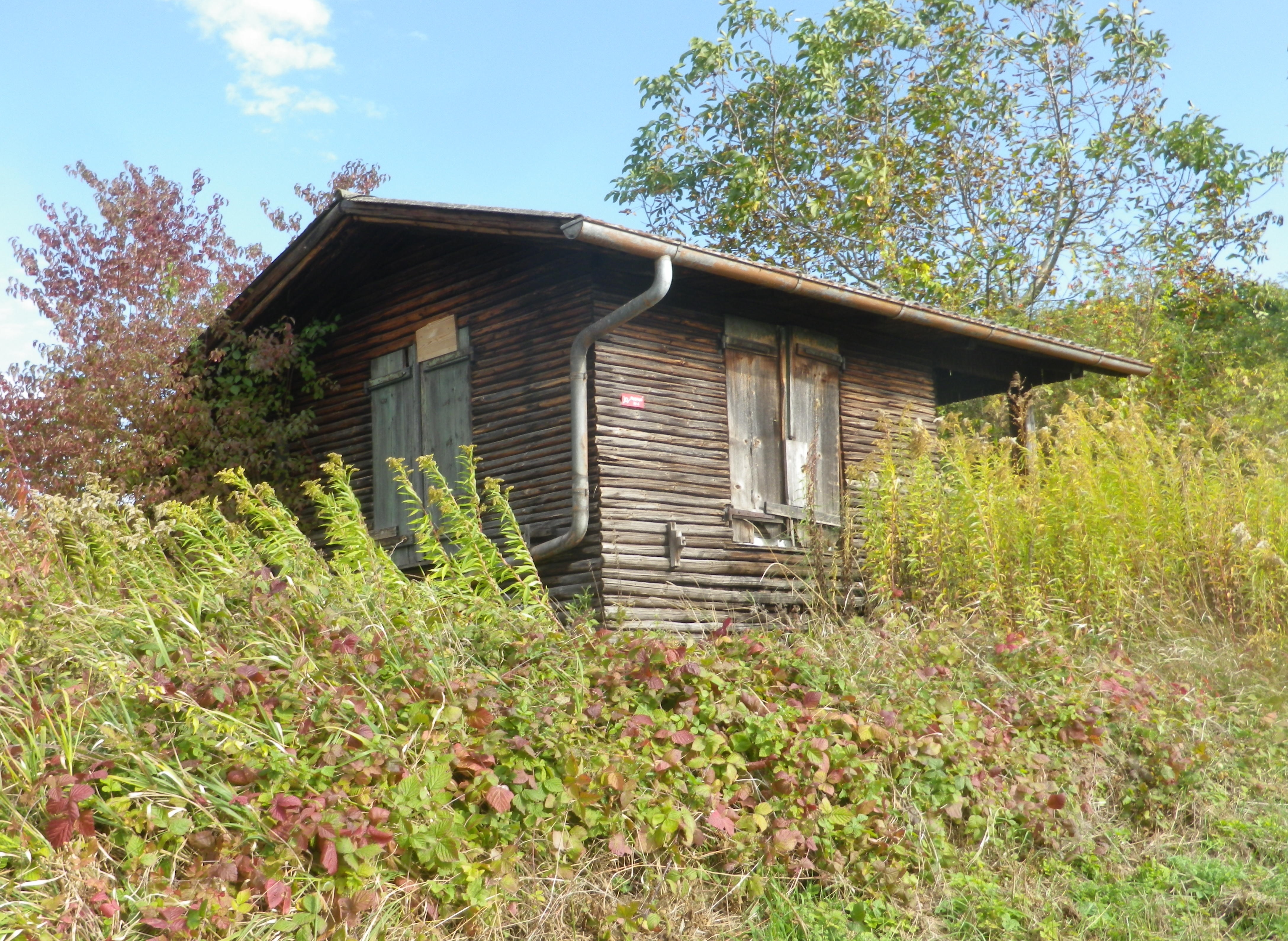
At eye level, the manicured vineyards, punctuated with fields, some farmed, others fallow or reclaimed by nature, and small huts. Known as Rebhisli in the old German Alemannic dialect, they are huts for those who work the vineyards. Whether sheltering the workers, or their tools, these vintner huts still exist in Germany. They provided the inspiration for this trail’s name and itinerary. The huts dot the landscape all along the trail. Some vintners still maintain certain huts, whereas nature is slowly reclaiming others. All are picturesque in their own ways, and are often offset against the magnificent landscape.

Now dedicated to Hikers!


As this hike left the village of Wagenstadt, it passed through fields before proceeding upward. As the vineyard terraces began, the air filled with the scent of crushed grapes, and fallen leaves. The harvest was mostly over, only the spaetlese or beerenauslese grapes remained, the grape leaves turning yellow.

Vineyards and Villages in Breisgau


During the first part of the hike, the views were to the west, toward the Vosges and rapidly sinking sun. In the distance lay the Alsatian town of Selestat, and vineyards, a thin yellowish line, at the foot of the Vosges, somewhere between Dambach la Ville and Scherwiller.


Distant Vineyards in Alsace


As the trail rounded its southern most extent, and headed north, the first views of the nearby Black Forest came into sight.  Bleichheim and its solitary church steeple hove into view, but put into perspective by the massive foothills of the Black Forest behind. Tutschfelden and its distinctive steeple appeared.

Tutschfelden


Heading back toward the village, I passed a couple of wineries, (the Schaudt and the Ringwald), and more vintner huts. All nestled comfortably into the folds of this rolling terrain, and blended in effortlessly. Then just like that, from vineyard to village, I was back in Wagenstadt.

Vineyards, Fields and Forests in Breisgau


No, mankind did not outdo nature here, but came in a close second. The true merit of mankind’s efforts was housing the implements, wineries and the taverns where nature’s fruit of the vine could be harvested, produced and enjoyed with friends and neighbors.

Old Rebhisli

Rebhisliweg: Trail in a Nutshell


Trail Name:  Grosse Rebhisliweg

Trail Type: A short distance circuit; well-maintained and mostly hard-packed or paved with some grassy surface; marking on the trail fairly good, but a map could be useful.

Length:

Total – 7.4 kilometers/5.2 miles

Convenient to: Freiburg, Germany

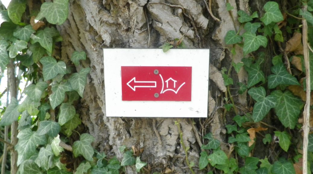
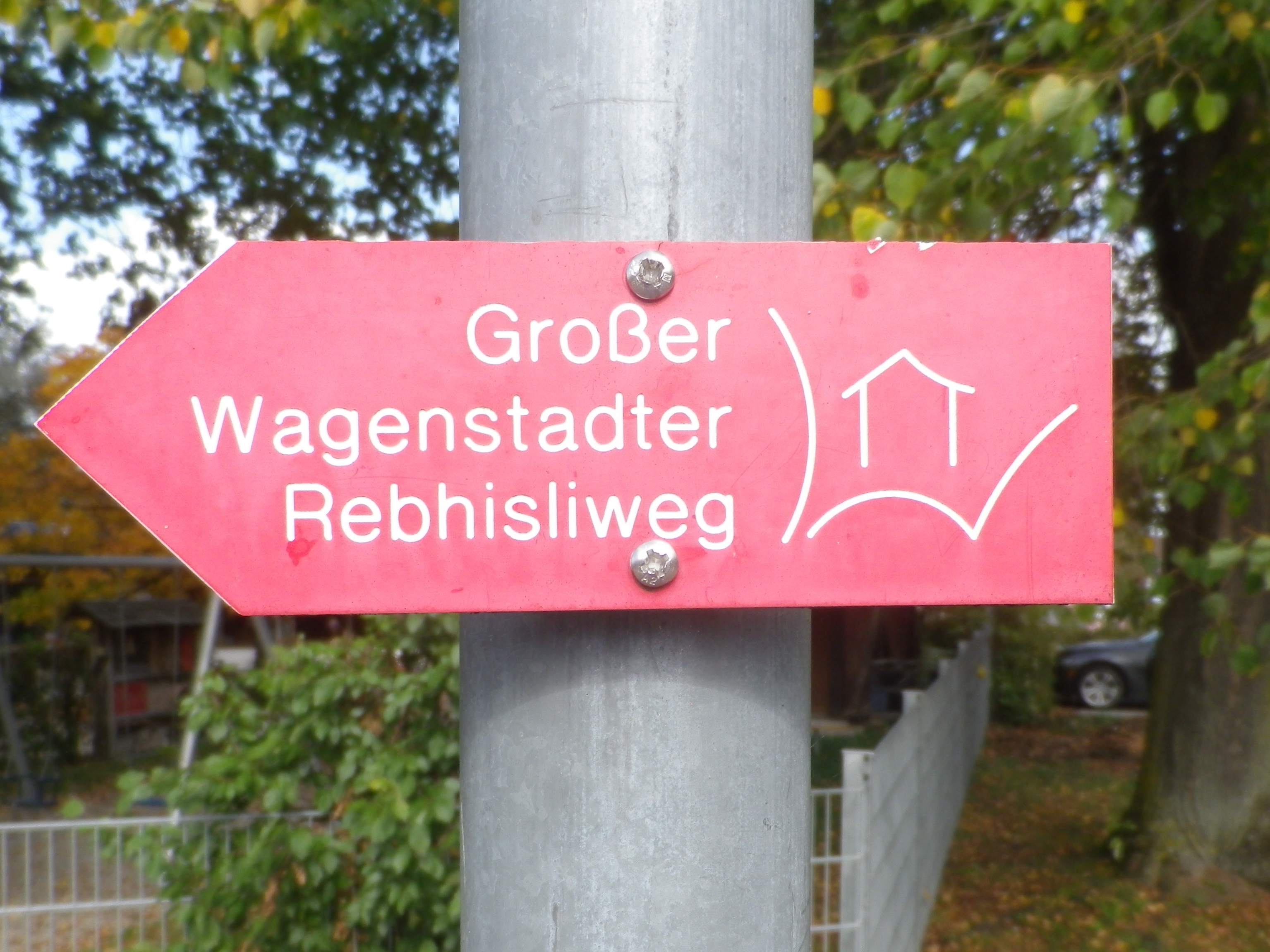
Marking: A rectangular red background with a stylized white letter W, with a stylized white hut inside it


Trail Description: A gentle hike over modest inclines with well-maintained trail surfaces through vineyards and fields with the vintner huts throughout. Great views in all directions, but especially toward the Black Forest.

Trailhead:

Herbolzheim-Wagenstadt, August Ziegler Weg, by the Evangelical church

Parking:

Herbolzheim-Wagenstadt, Im Erb or Im Weiherle

Public Transportation Options:

Rail and Bus: Herbolzheim, and nearby Kenzingen, are two of the many stations on the main north-south train route through the Rhine River Valley. DeutscheBahn (DB) has many trains serving this area, and operates buses which serve the nearby villages like Wagenstadt.

Suggested Stages: Not applicable

Trail Itinerary-Reference Points: (Counterclockwise)

Herbolzheim-Wagenstadt: Kenzingerstr, Brechterstal, fields, vineyards, edge of forest, vineyards, Weingut Schaudt, Kenzingerstr, Ob dem Dorf, past the cemetery, vineyards, down a slope to trailhead.

Representative Trail Photos:

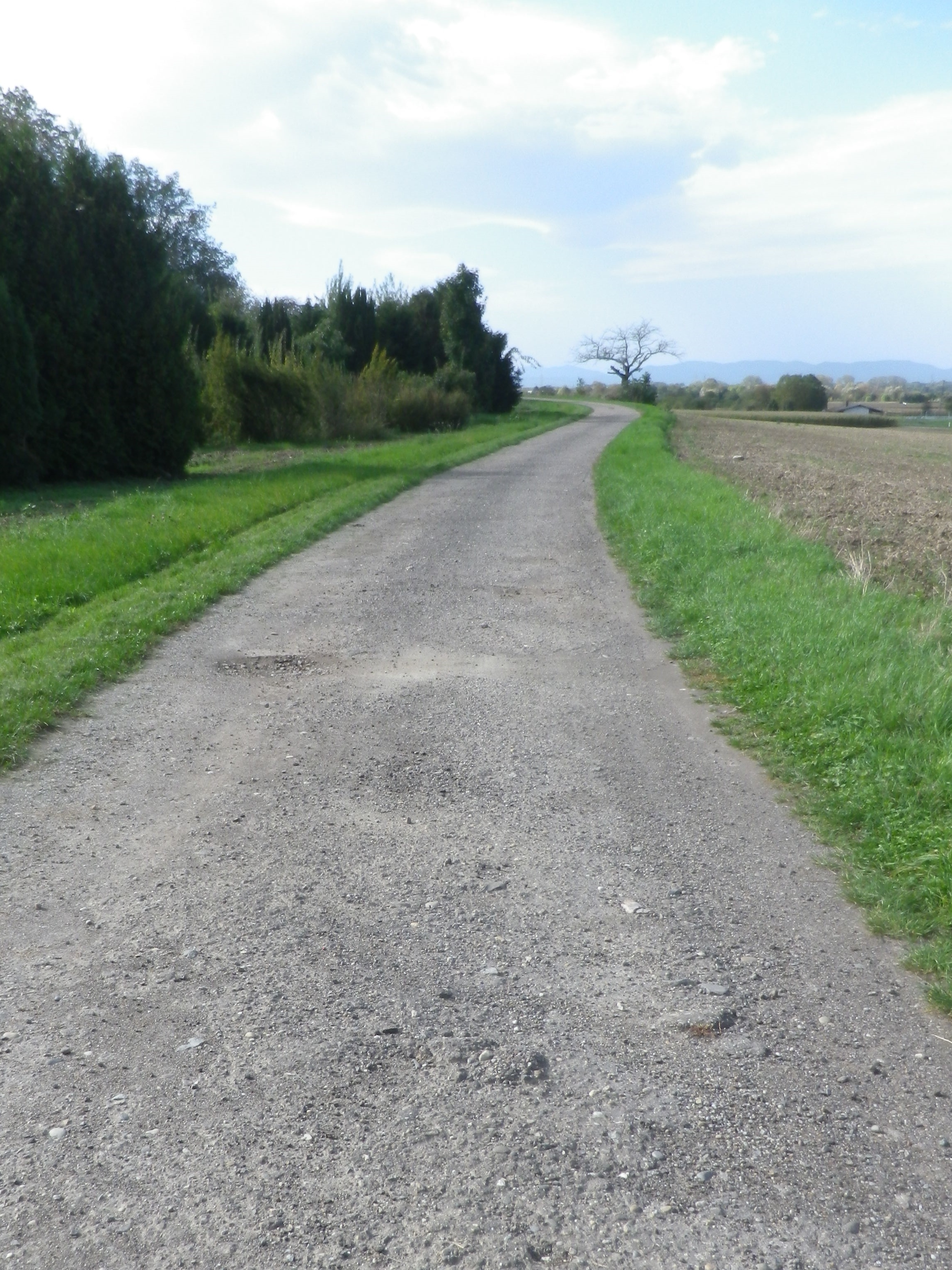
Sample Gravel Trail Surface


Grass Trail Section


Representative Trail Section in Vineyards


Restrooms:

None observed

Attractions on or near Trail:

None related to wine

Tasting along the Trail:

Three wineries are on the trail (but note hours), plus other wineries and taverns in the nearby towns Kenzingen and Malterdingen

Alternative Options:

Hiking: Nearby Ettenheim has the Weinwanderung Kaiserberg, a circuit similar in distance and landscape. See the Nutshell here.

Car: The Badische Weinstrasse, a car route of over 500 kilometers on mostly secondary roads, covers not only Wagenstadt, Bleicheim and Tutschfelden, but most of the wine villages and towns from Laudenbach, north of Heidelberg, to Weil am Rhein by Basel, Switzerland.

Additional Information:

Regional: https://www.schwarzwald-tourismus.info/schwarzwald/regionen/region-europa-park

Trail specific: https://www.alltrails.com/explore/map/rebhisliweg-wagenstadt

Comments:

Two trails actually, with a tiny bit of overlap, the Grosse, or long trail has red signage, and the shorter one (about 4.1 kilometers) has blue and yellow signage.

A pleasant trail, and I could recommend it for families with children of about six or seven and up.

The one grass covered surface section might not be mowed, which could be an issue in mid-summer. However, there are easily identifiable detours all around.


The Cradle of Viognier


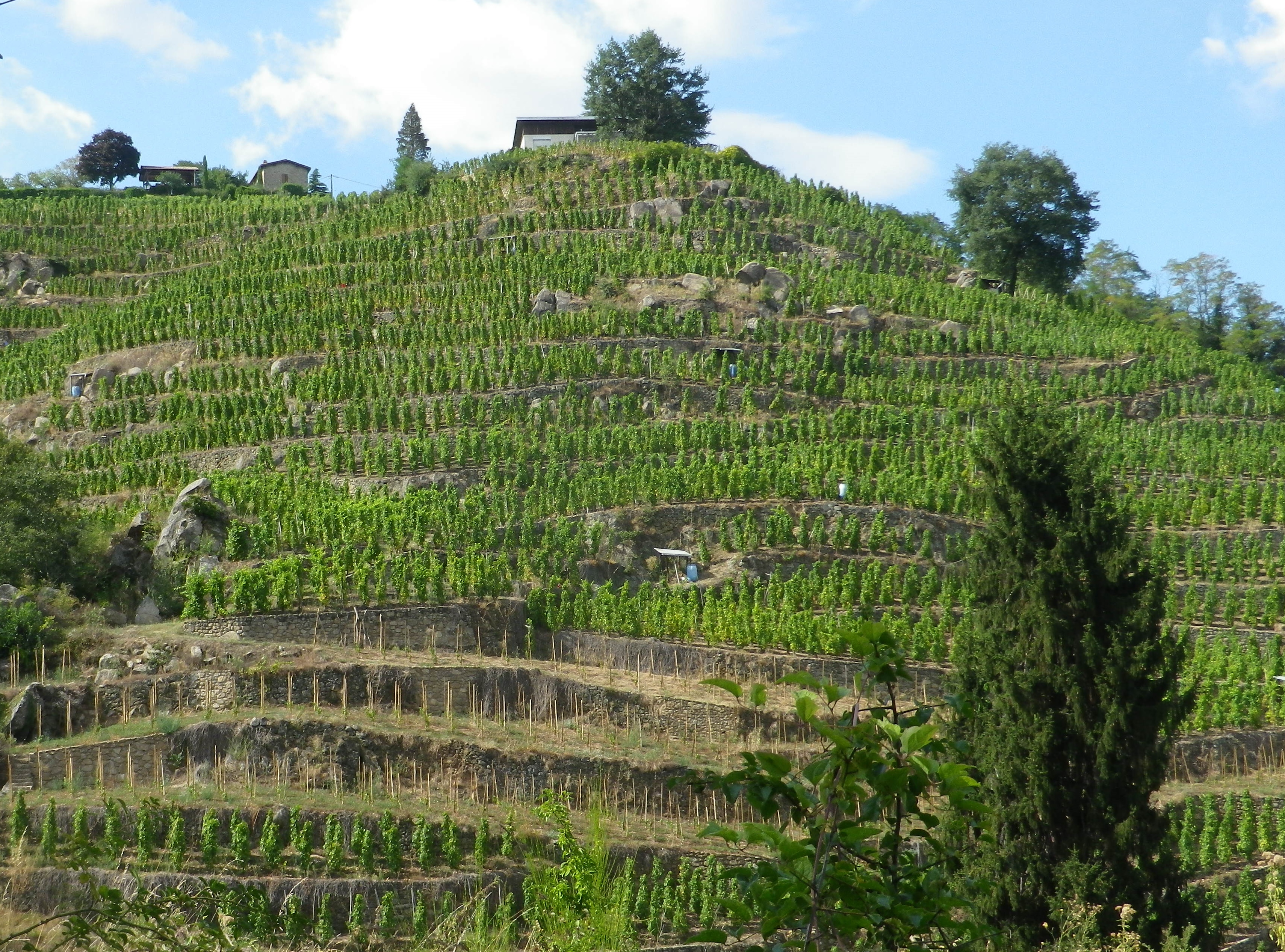
Condrieu, the cradle of Viognier, is a small town, as well as the name of an appellation devoted to Viognier. While the appellation stretches about 8 miles/12.5 kilometers south of Condrieu, I found a wine-themed hike through the villages of Verin and Saint Michel sur Rhone, circling Chateau Grillet, one of France’s smallest appellations (a bit over 8.5 acres), likewise devoted exclusively to Viognier.

Like these two appellations, the one nested completely within the other, the hike itself was small. (One map said six, another said seven kilometers.) Still, I considered myself fortunate to have found it, and to have hiked it, as Viognier is one of my favorite wines, and the opportunity to see the homeland of this varietal, to hike the hills where it is still grown after all these centuries, was fantastic.

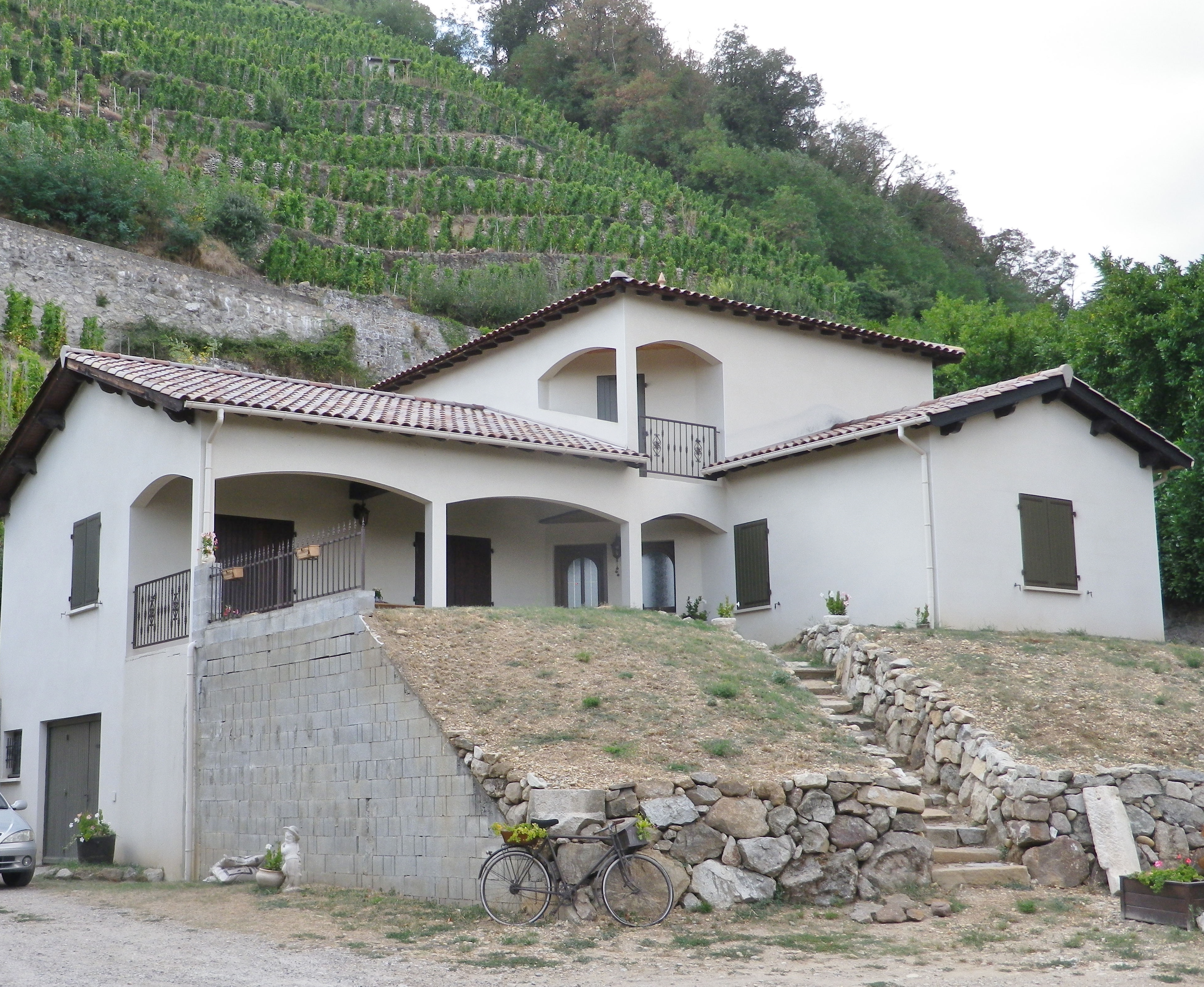
Steep Hills and Terraces


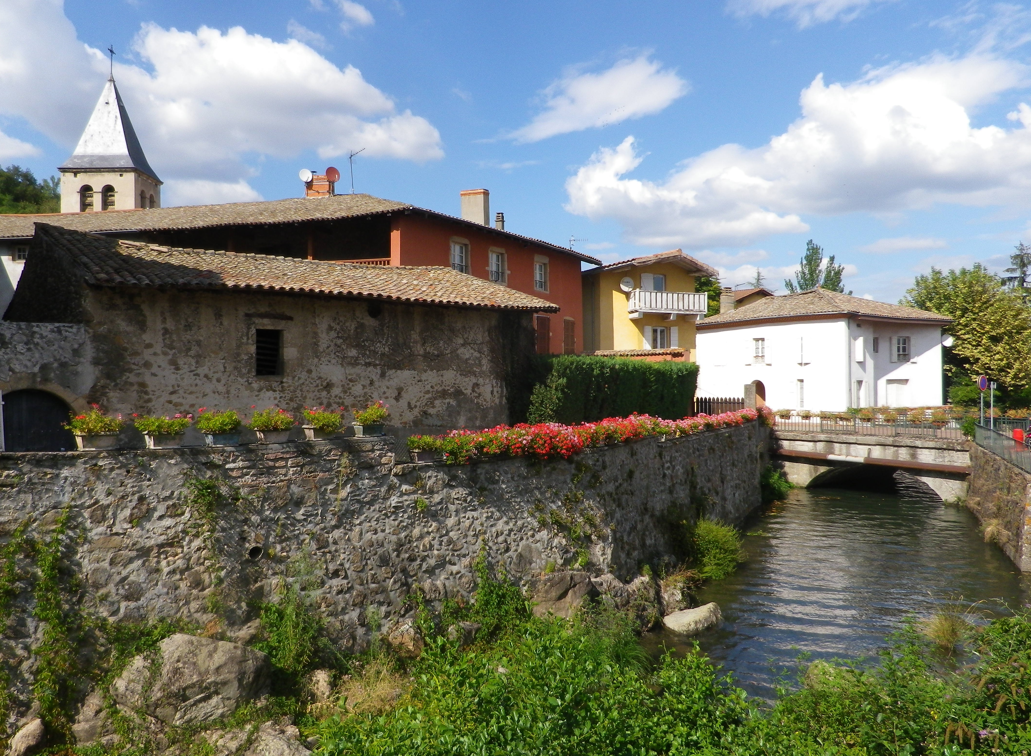
In fact, I was in such a hurry to begin, that I parked along the Rue Nationale in Verin, and began there, as opposed to starting at the official start point in St Michel sur Rhone. I hurried north upriver to enter the old village center. Verin, like Saint Michel sur Rhone, is a small village. No industry apparently, just lots of vineyards. Still the old center is charming, a couple of narrow lanes, set along a stream that feeds into the nearby Rhone. Being able to hike again in the northern Rhone region along the river was another reason to be ecstatic about the hike.

Verin: Village Center


Once leaving the village, the trail begins a steady climb up a rather steep slope. The steepness of the slopes here, combined with their southerly exposition, is part of the reason the Viognier grape does so well here. This part of the trail was thankfully through woods. Occasionally, a tantalizing hint of the Chateau Grillet vineyards appeared, making my mouth water.

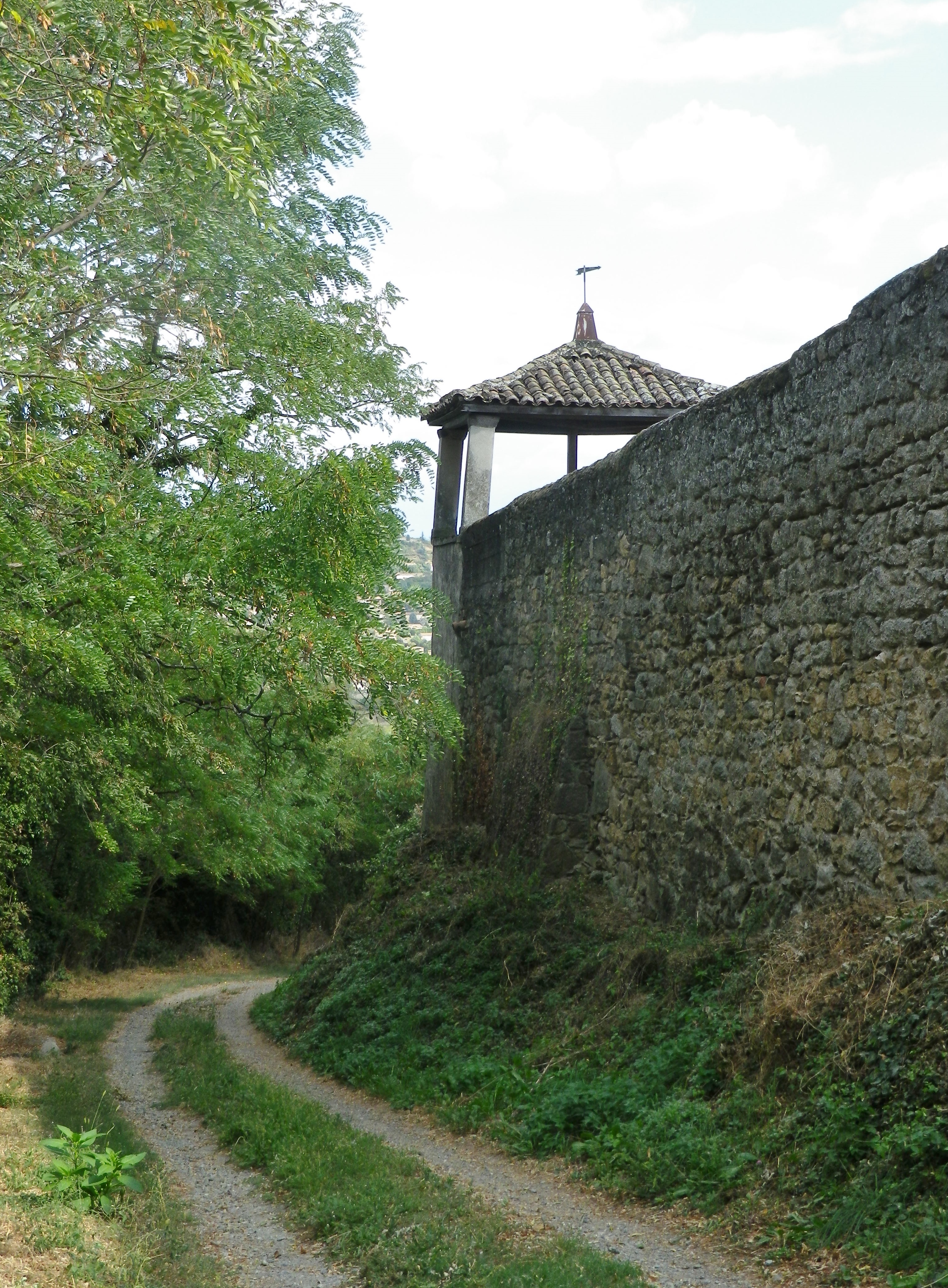
Behind the Walls: Chateau Grillet


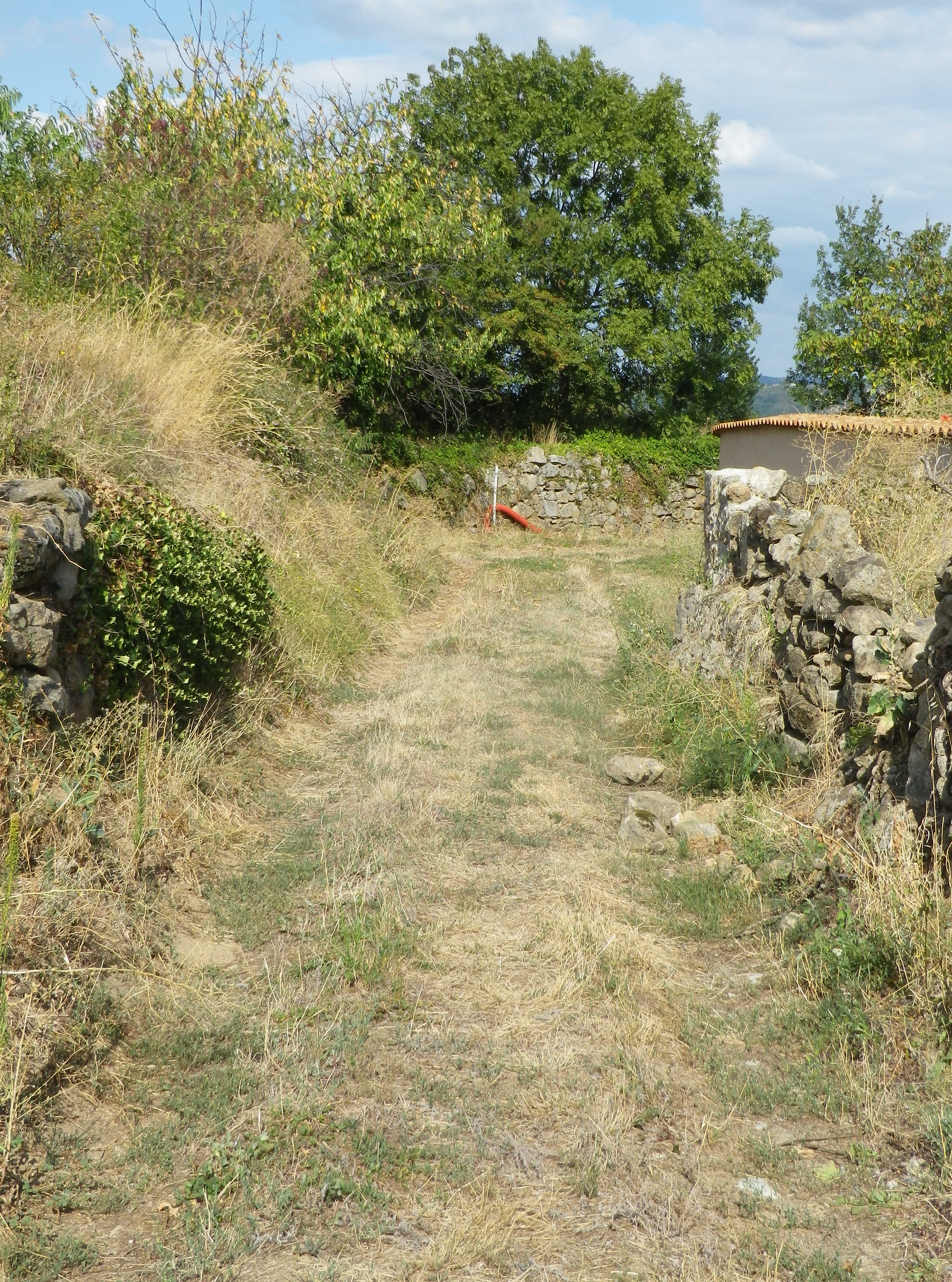
Completing the last push uphill to the hamlet of l’Ollagniere, the views began to open up. It was a peaceful spot high above the river, with more open fields, and fewer vineyards.

Fields Above the Vines


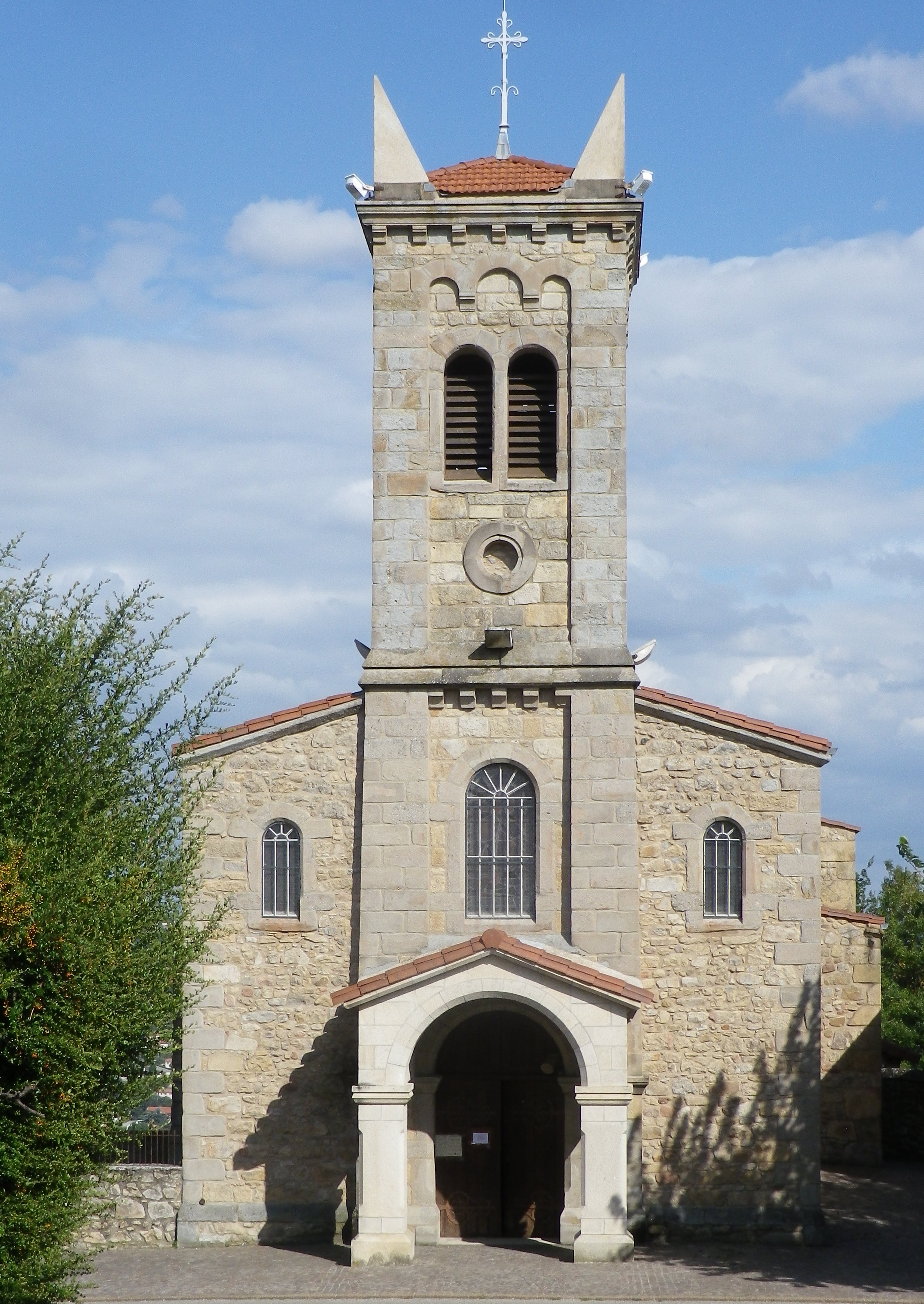
The first descent went through a small wood, and followed along a quiet lane into the village of St Michel sur Rhone. The stone church caught my eye, as did the large parking lot and restrooms. I saw one small inn with a restaurant, but not a soul in sight anywhere in this amble through the village. Leaving the center of the village via the cemetery, I reflected that at least there had been inhabitants in the village.

Saint Michel sur Rhone: Church


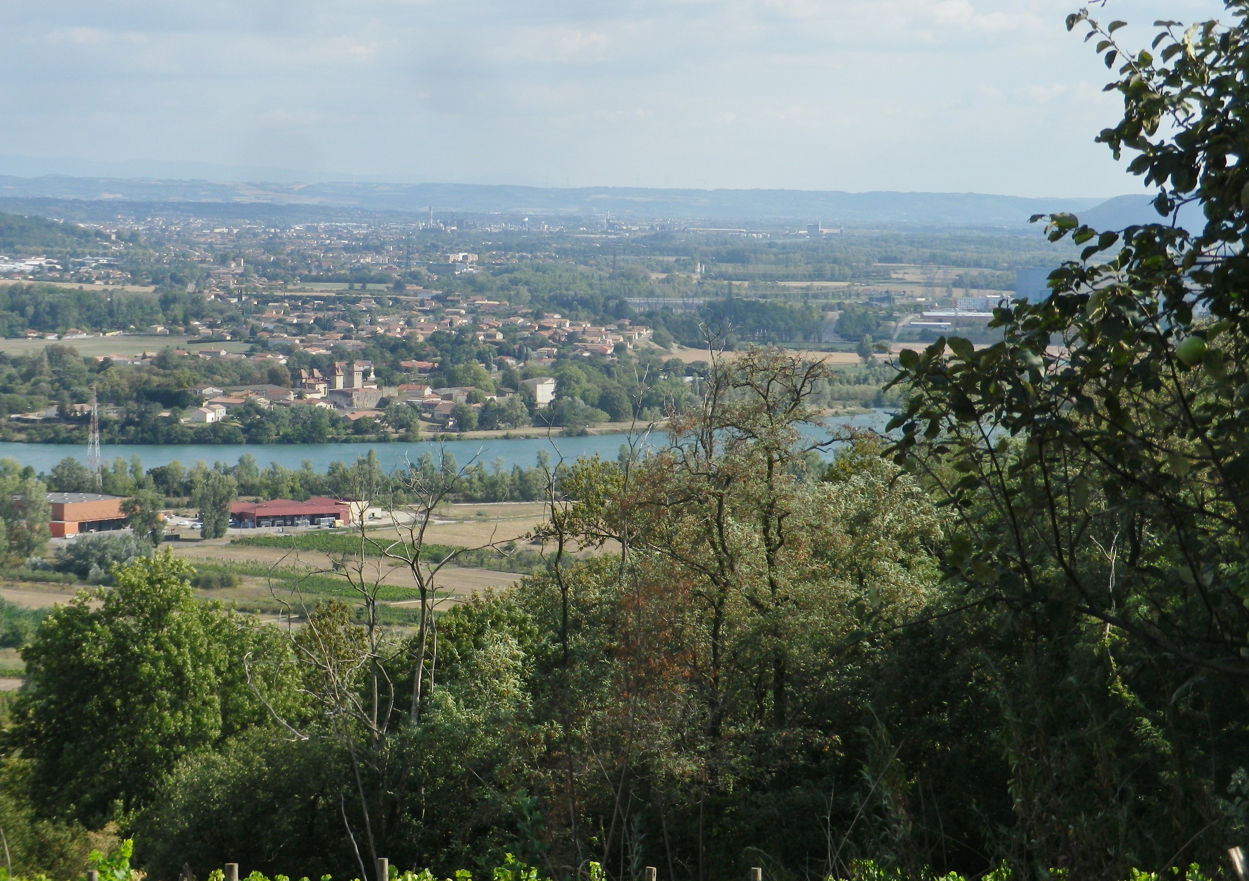
The second descent was certainly more punishing than the first, but rewarding for its passage through the acres of vines all growing Viognier! The loose granitic soil, and the well-worn rock surface it lay on only added to the challenge. But once the trail reached another wood, the going was easier. Meanwhile, the south and east facing views of the Rhone were amazing.
Above the Rhone


The trail along the river’s flood plain was easy. While not necessarily scenic, it was quiet, and flat, which is rare in this area. And from that perspective, it demonstrated how, in this section of the Rhone, the cliffs literally rise up suddenly.  Heading north, the trail turned west, and within a quarter of a kilometer, I was hiking along the base of steep slopes. It was my last section of the trail, that ended following along the final vineyards on this hike. While they would be the last vineyards I saw while hiking, they certainly won’t be the last vineyards I savor from this hike!
Steep, Sudden Slopes with Vines


Les Coteaux St Michel: Trail in a Nutshell


Trail Name: Les Coteaux St Michel, AKA Saint Michel n. 1

Trail Type: Short distance; somewhat maintained and varied surfaces from paved to rough, with loose gravel on some of the steep slopes, marking on the trail good, but with one exception, not specific to the trail itself.

Length:

Total – about 7 kilometers/ 4.5 miles

Convenient to: Vienne and Lyon, France

Marking:

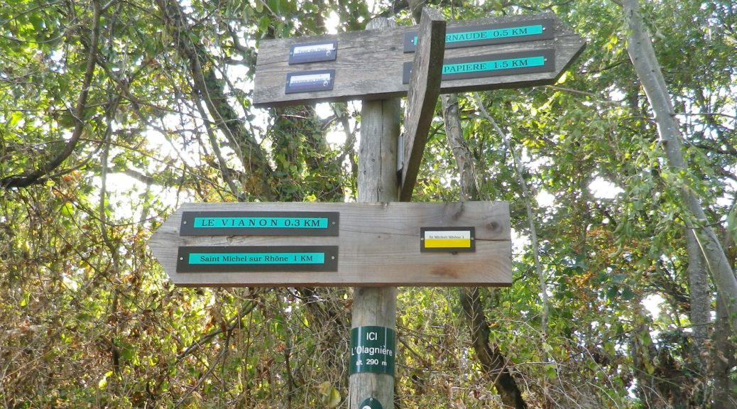
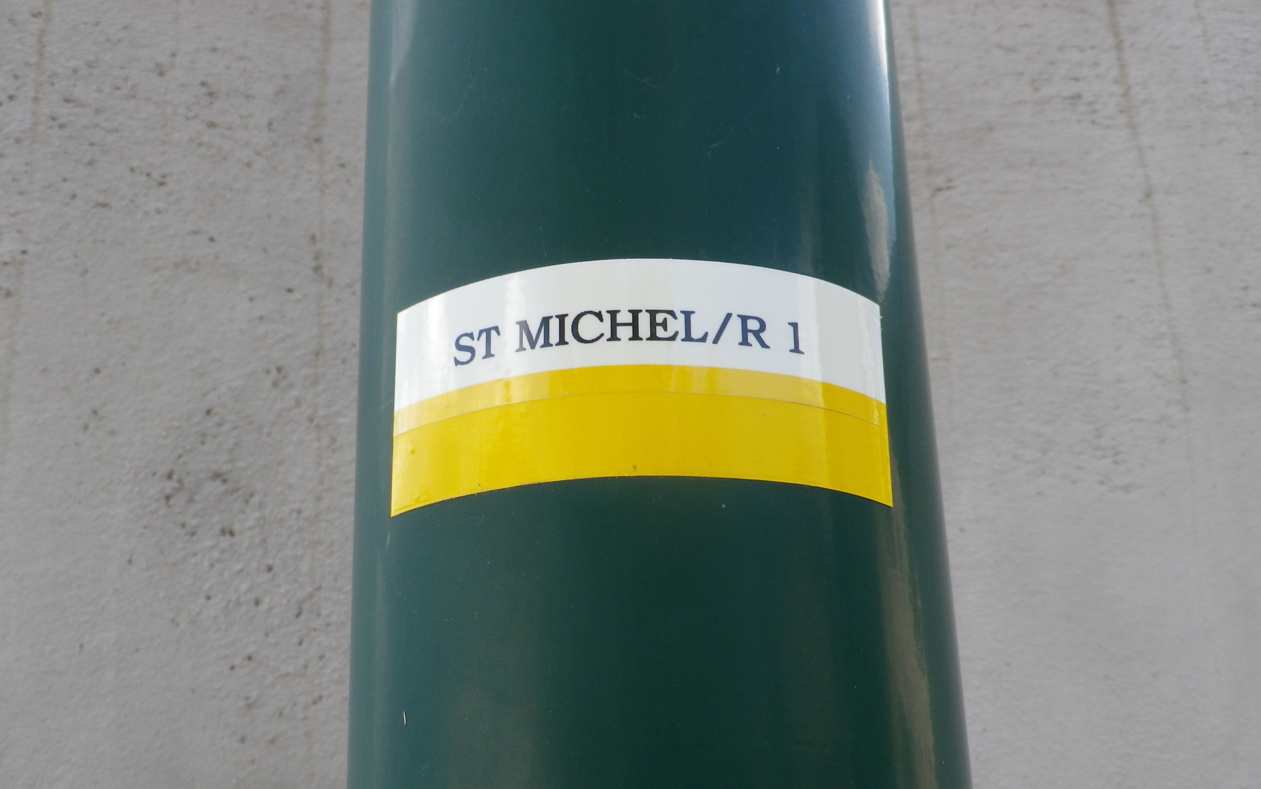
A white horizonal bar over a yellow horizonal bar, and occasionally a post noting current location and direction arrows with distances to further locations. (See photo above)


Trail Description:

A beautiful and sometimes challenging trail through a variety of landscapes from hamlets to fields and forests, but mostly dominated by scenes of the Condrieu vineyards and the Rhone River. With the dramatic views, and constantly changing trail, this trail will satisfy those looking to explore the quiet area of this small appellation.

Trailhead:

Official: St Michel sur Rhone: Mairie – R du Solon x Place des Muriers

Mine: Rue de la Voie Romaine, Verin

Parking:

St Michel sur Rhone: R du Solon, by church about 20 places; Rue Haute (Place du Bourg Vieille), about 9 spots

Verin: R. Nationale, parking along the street, south of R Jean Vincent, and between R. de la Voie Romaine and D34; small lot at the intersection of R Jean Vincent and R. Nationale/D34

Public Transportation Options:

Rail: SNCF routes north to Lyon and south to Valence, pass through the station St Clair les Roches, across the river from Condrieu in Les Roches de Condrieu.

Bus: Bus, more like van, service is available on demand.

Suggested Stages: Not Applicable

Trail Itinerary-Reference Points: (Counterclockwise)

St Michel sur Rhone: Place des Muriers, La Piaton, woods, Impasse Cote Foret, Cote Foret (along tracks), cross D1086, dogleg , R du Grand Val, north on R de Lone, east to R. de Jassoux, Impasse du Puit, cross tracks, Impasse de la Croix Rouge, Impasse de Poncin, cross tracks, north on R. Roches Molles (Chateau Grillet); Verin : R. de la Voie Romaine, R. de Beatrice de Roussillon, path on left by house just after underpass, above another house, Impasse de la Croix Margot, R. de la Cartherie, Impasse au Bois, R. de l’Ollagniere ; Impasse la Gaie, down between house and pool, R Rampot

Representative Trail Photos:

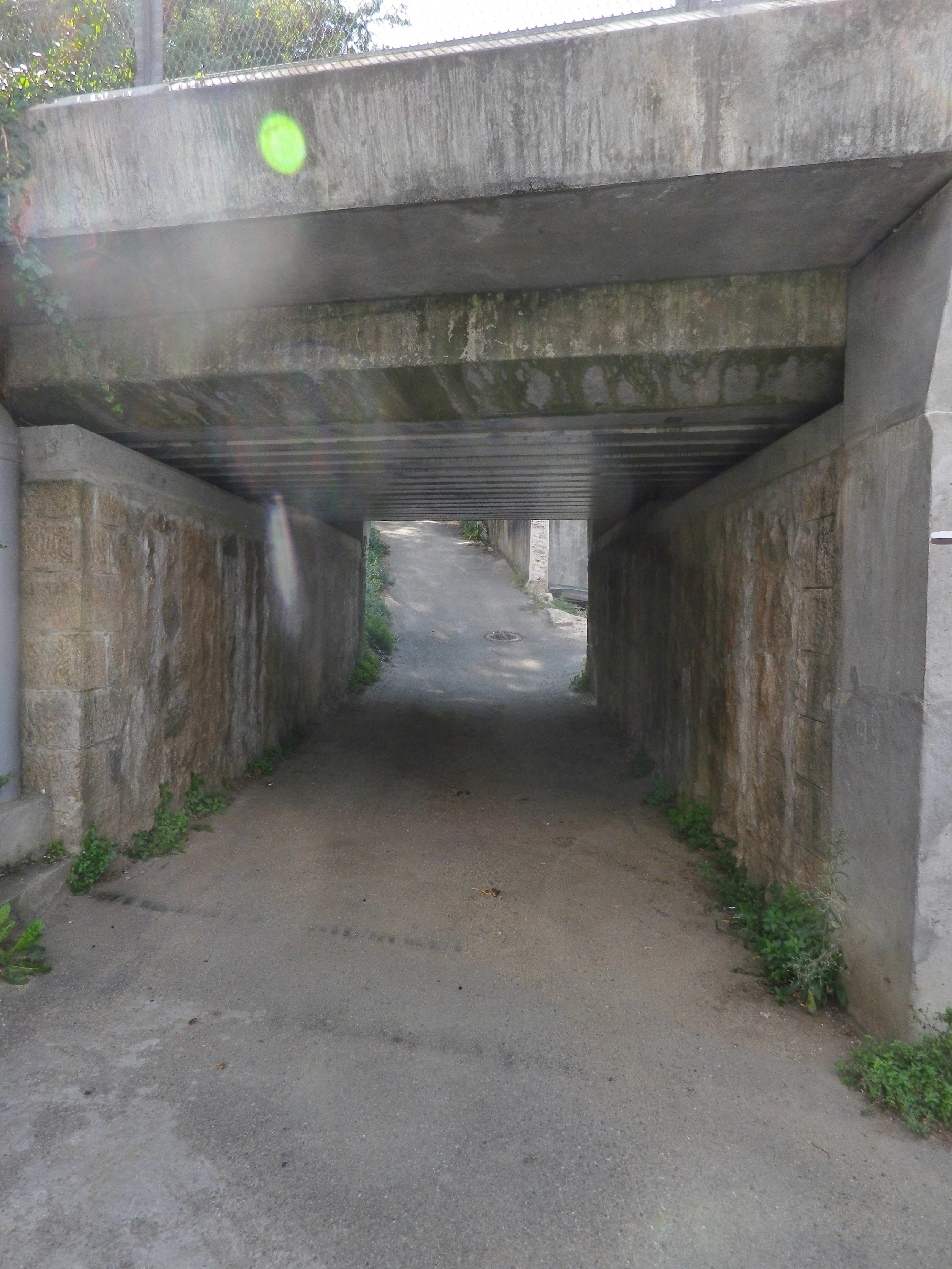
Trail Section: An Underpass


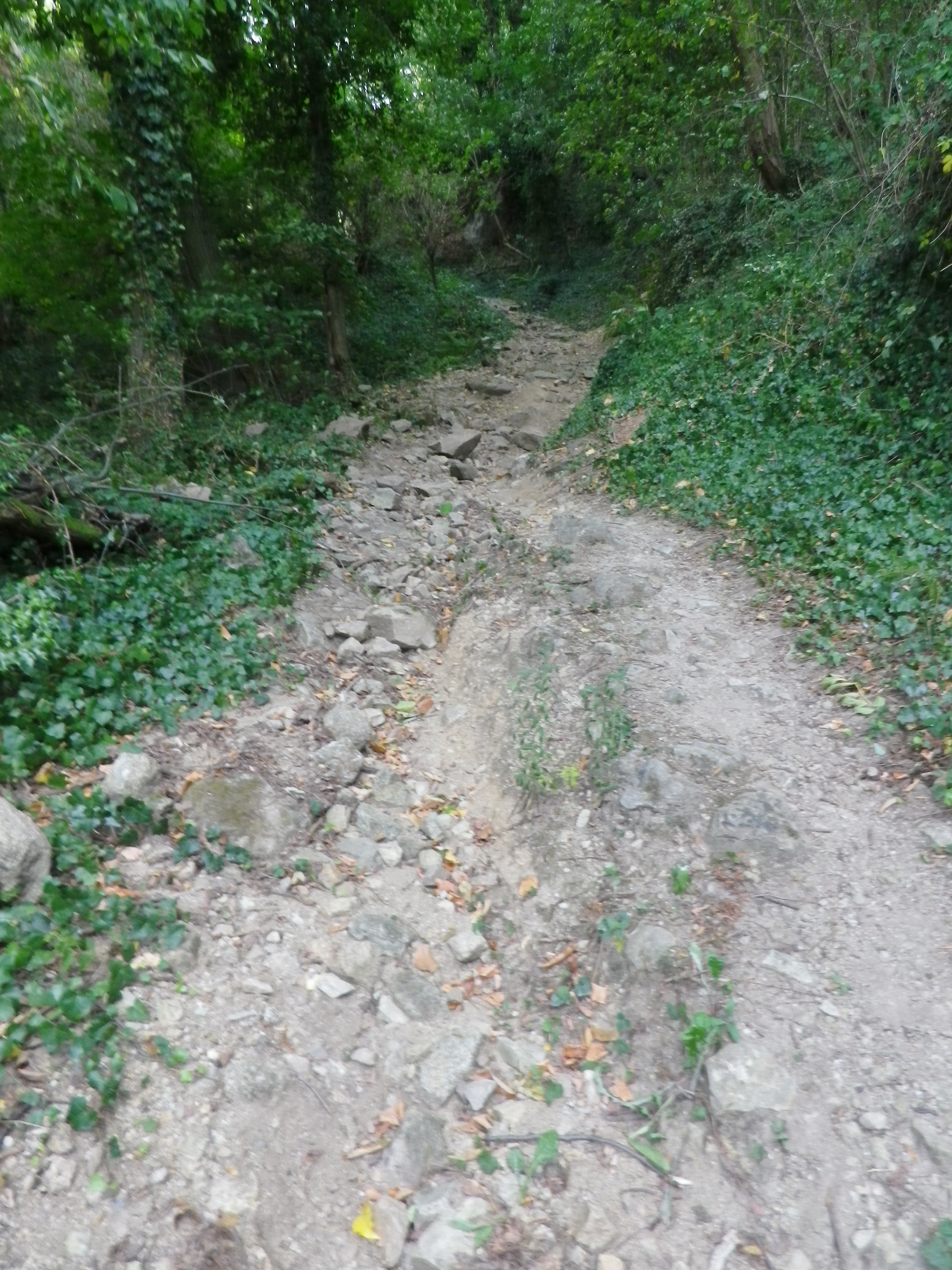
Representative Surface -Loose Stone and Rock


Trail Between Houses


Restrooms:

St Michel sur Rhone: R du Solon, by church and Restaurant

Attractions on or near Trail:

Just lots of wonderful views of the famed vineyards

Tasting along the Trail:

Condrieu, the town, has the most wineries, although there are a few, smaller ones along the trail, especially in Saint Michel sur Rhone

Alternative Options:

Hiking: Dans les Vignobles de Cote-Rotie et Condrieu, a three-day, 44-kilometer circuit trail of short stages around both the Cote Rotie and Condrieu appellations.

Additional Information:

Regional: https://www.condrieu.fr/# and https://www.vienne-condrieu.com/

Trail specific: https://www.mairie-saintmichelsurrhone.fr/loisirs_randonnees_a_saint_michel.php

Comments:

There were a couple of places where the trail followed in between a house and a barn or other building, or a house and a pool. In all cases, it was indeed part of the trail. (There were a couple of rail track underpasses as well.  )

The Heights of Styrian Vines


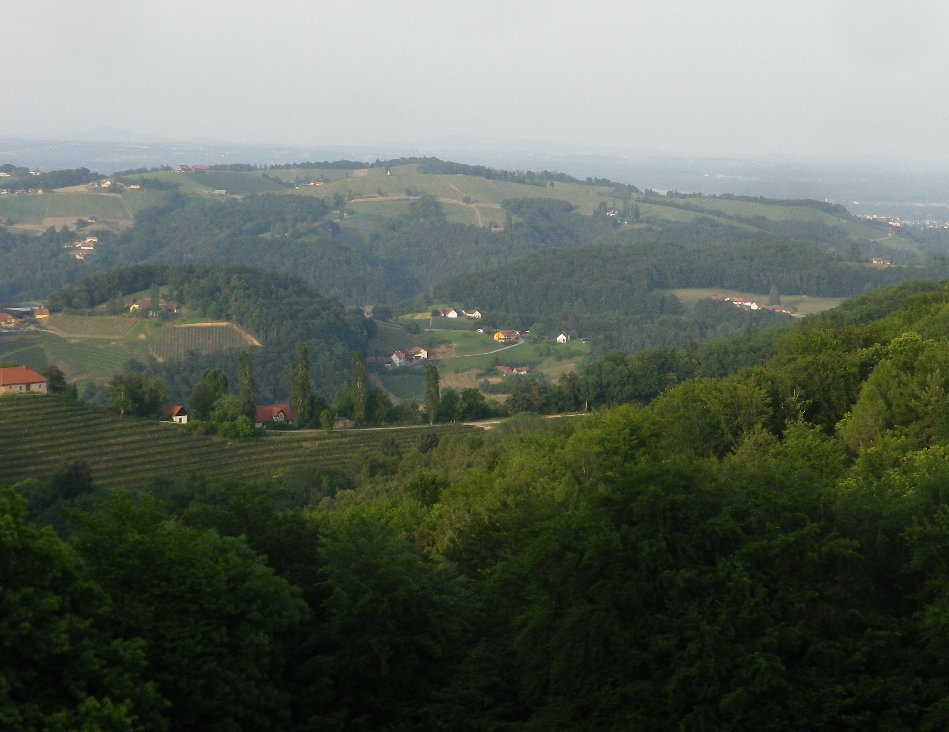
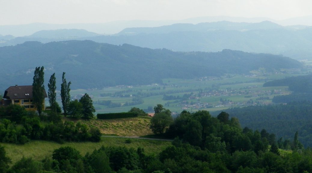
Set in the highest wine village in Europe, the Kitzecker Weinwanderweg surely lived up to its name, with multiple steep, vine-laden slopes to conquer, culminating in a sense of standing on top of the wine world. But having multiple opportunities to crest some of the highest slopes in the district, I could see for myself the incredible 360 degree vistas that height affords, all around this tranquil village in southern Styria.

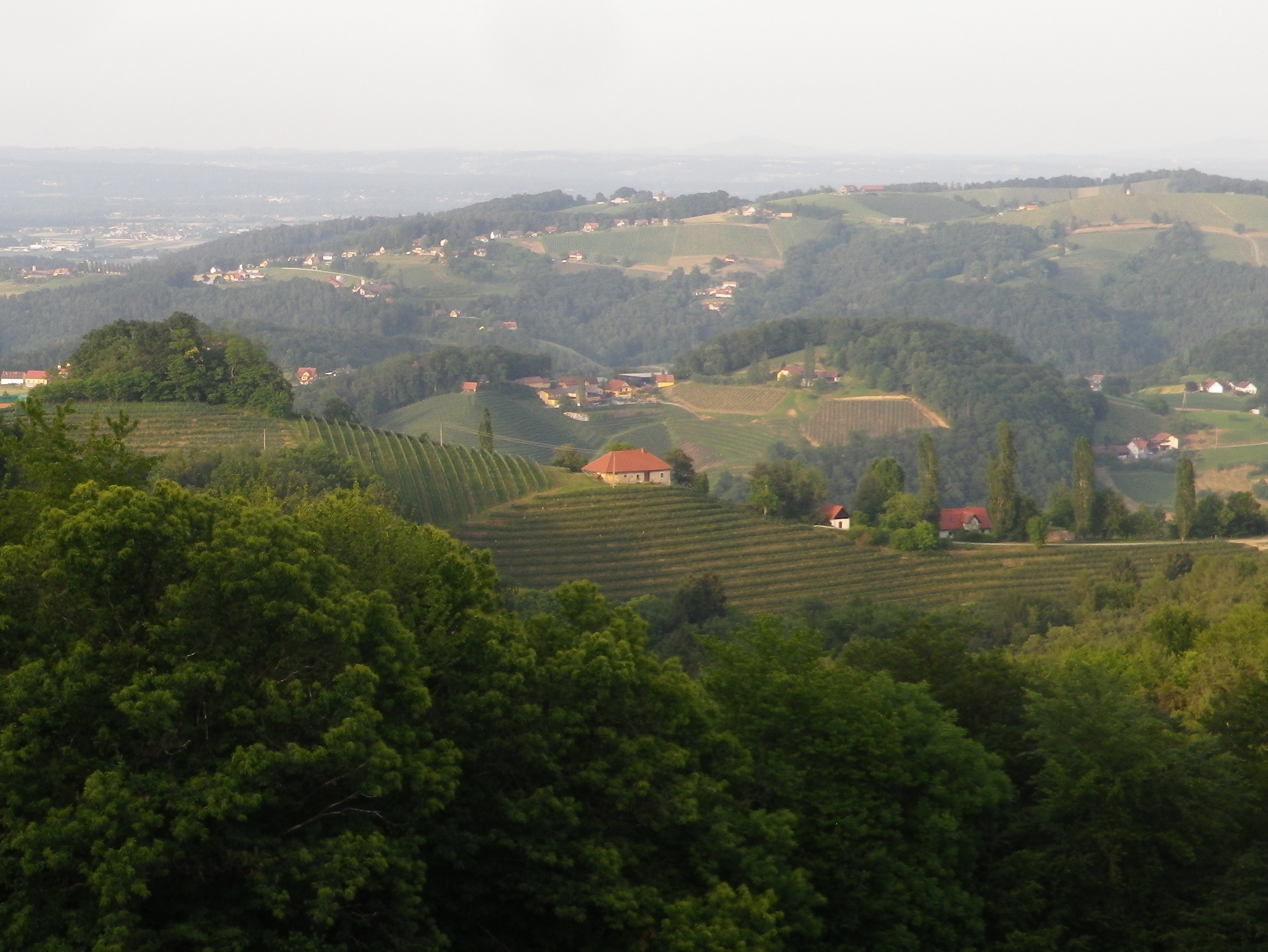
A View From Kitzeck


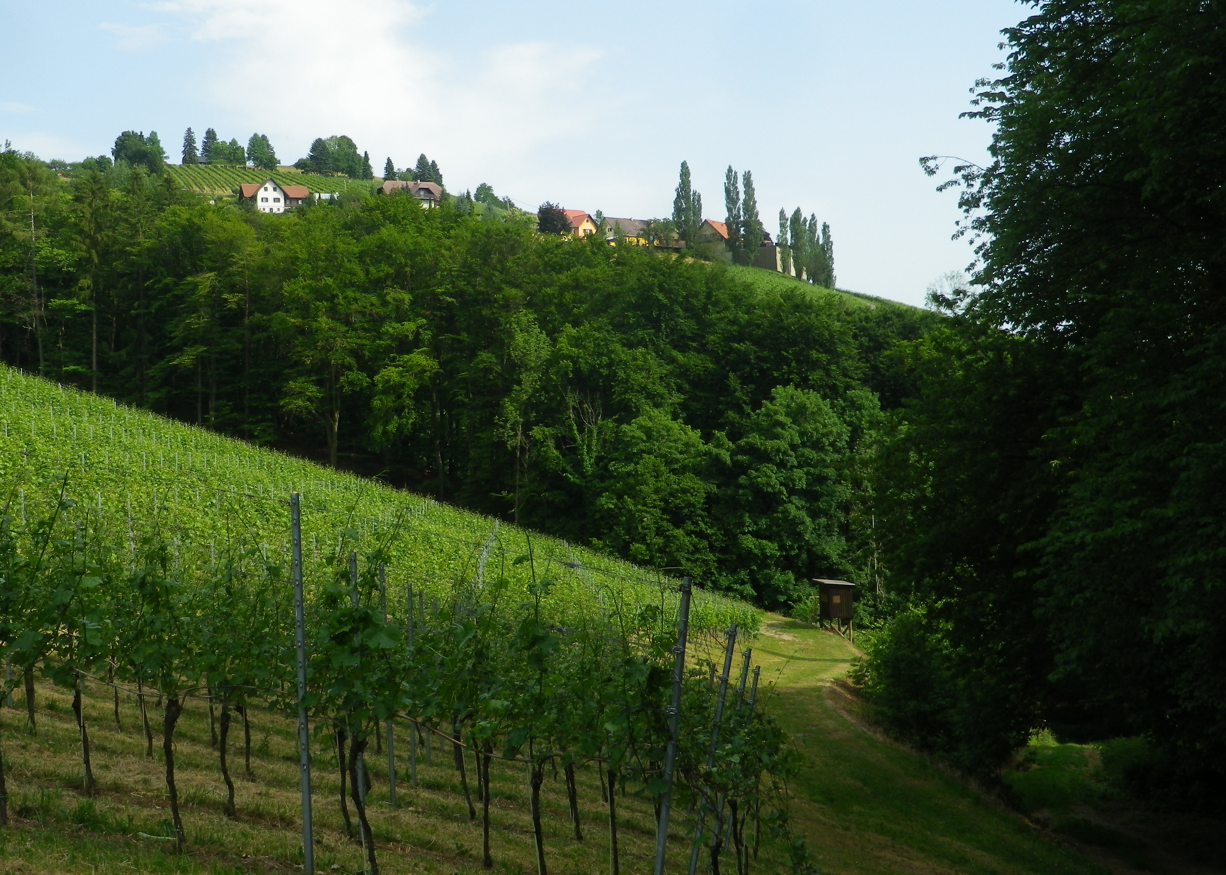
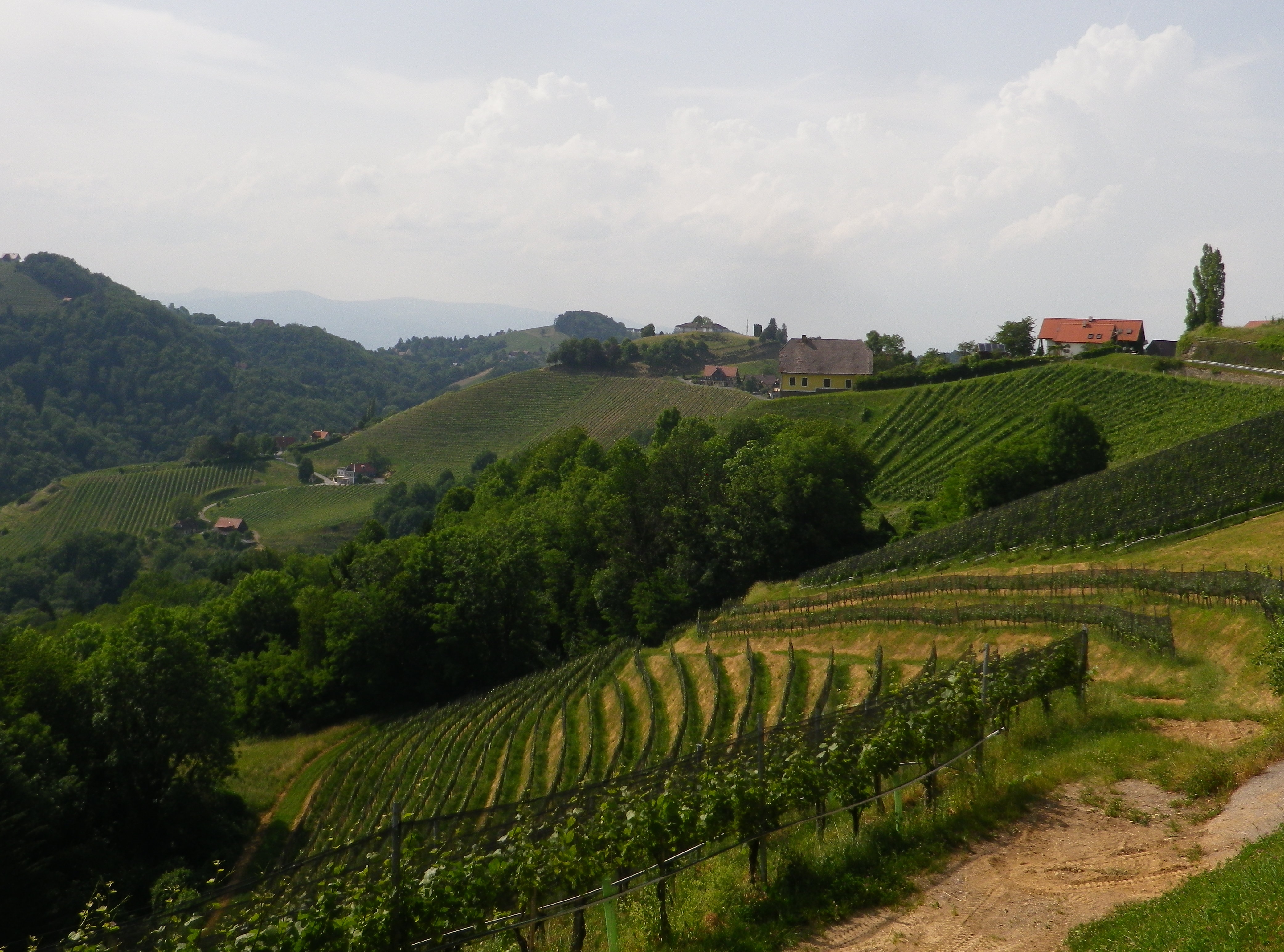
The trail was nicely laid out. The elevation changed constantly, leading through diverse landscapes. From village center to meadows and forests. Then there were the vineyards, irregularly shaped parcels covering sun-drenched slopes, often in view, and only occasionally passed through. There were streams and hillsides to walk along, usually shaded by old trees. In other words, there is a lot of variety to be had in a relatively short distance.

Trail Along the Stream


Hiking this trail in June meant long days, hot sun and lush vegetation in the meadows, forests and vineyards. So I began this short (9.2 kilometer) trail at around 5 p.m., when the sun was less fierce, and the temperatures dropped. While the leaf-cover from trees overhead was much appreciated, there wasn’t much I could do about the vegetation in the meadows. In a couple of places, it rose about 1.25 meters/four feet high, and unfortunately ticks, and tick-borne diseases, are on the rise in Europe. Where possible, I took an alternate route to rejoin the trail through vineyards or forest. Fortunately, this was possible as the town has a number of trails through and around it, making it a hiker’s paradise. Unfortunately though, on that day I belatedly concluded that this idyllic trail might be best hiked in later fall or early spring, when the meadow vegetation has scaled back.

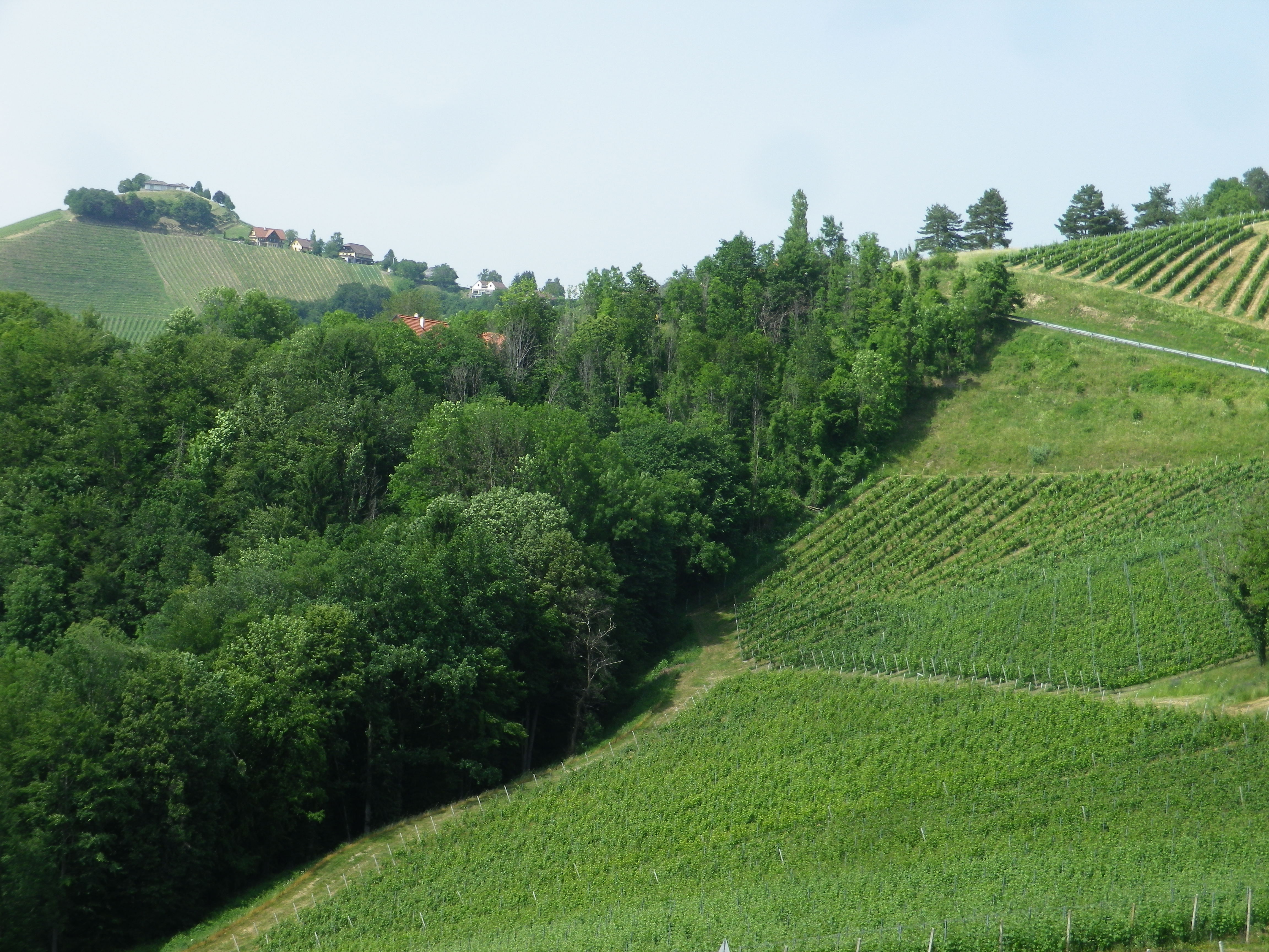
The Steep Green Hills of Kitzeck


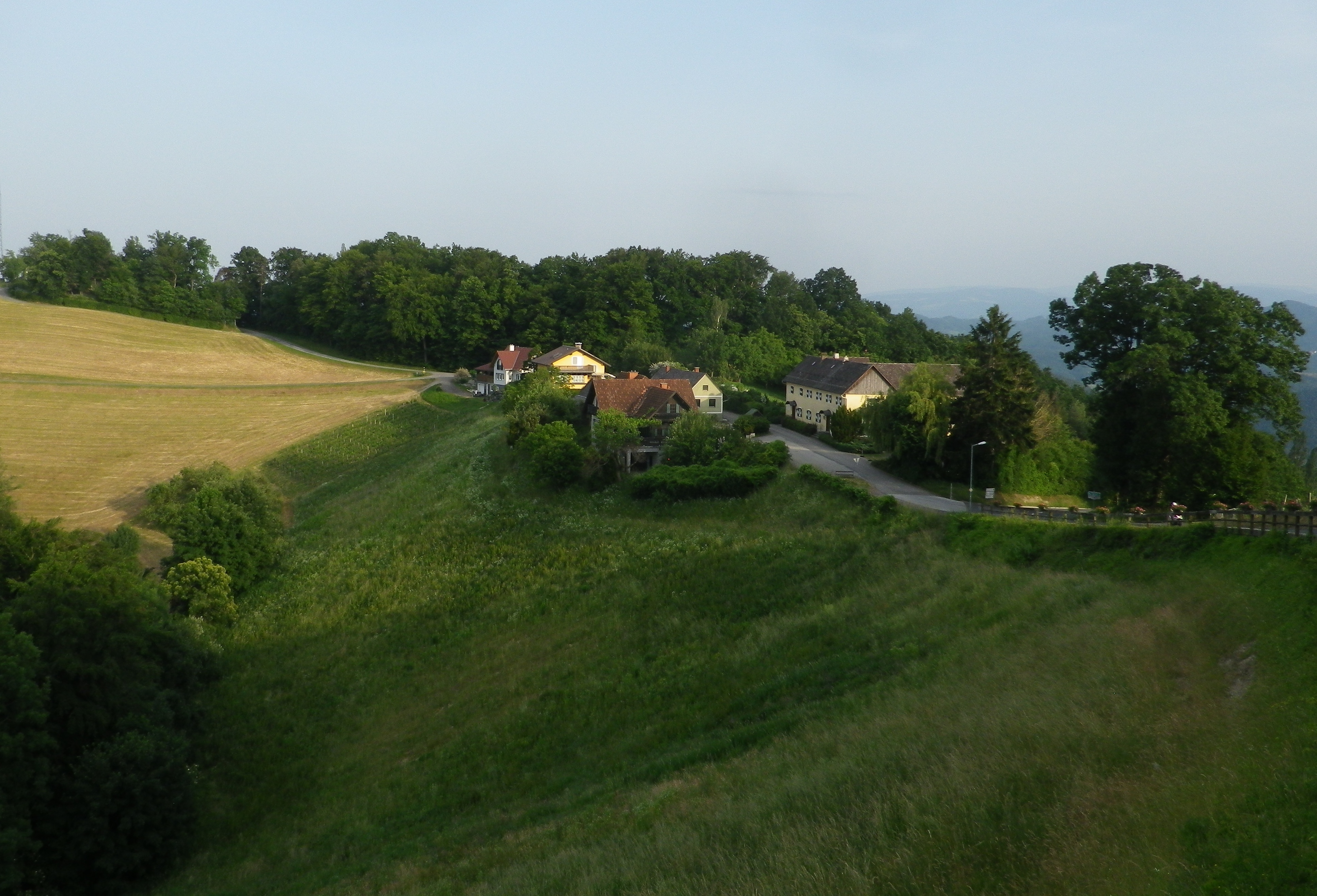
But even my couple of alternative routes (one along a road) were conducted in peaceful solitude. In reality, you get here a lot of quiet here. No rushing vehicles, no bustling village center. There is the wine museum right at the start of the trail that should not be missed, but otherwise, there is not much to indicate an actual urban hub. The village is more like a series of beautifully maintained farms loosely strung along a country lane. A couple of farms have converted to tourist accommodations, ranging from elegant to simple. Other farms do double duty as restaurants or wine taverns.

Kitzeck: Hills and Vineyards


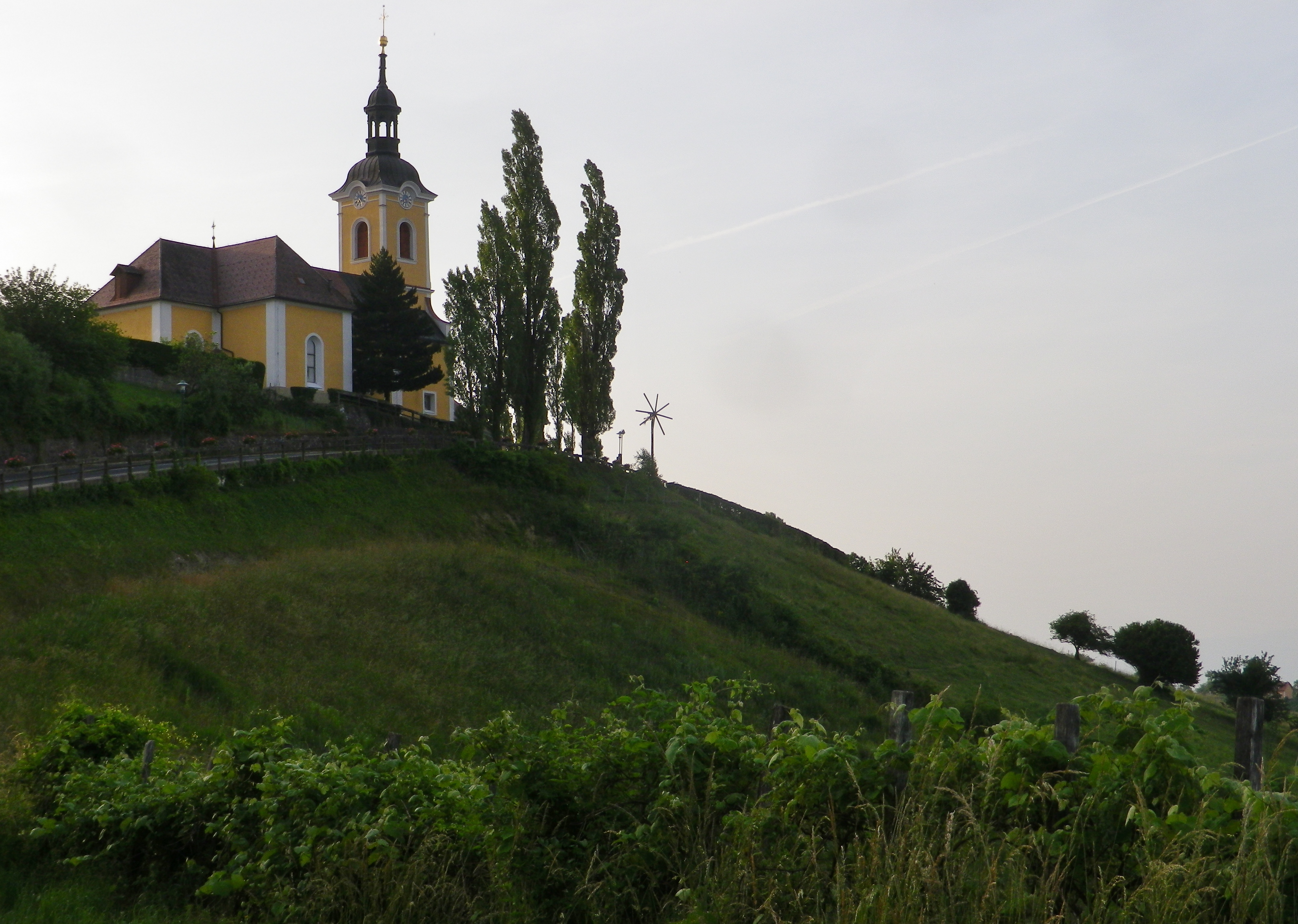
A church dramatically tops the highest point of Kitzeck. Its tower is like a beacon, and eyes from all around are drawn to it, starkly thrust up against an endless sky. Inside is simply decorated. But this small church with its stunning location, needs no further adornment.

Against the Setting Sun


But while the hikers tendency might be to look down, as from the church, the high vantage point around, or from an open hillside, to appreciate the steepness of the terrain hikers should pause to look up every now and then along this trail. The vines seem to be stacked on top of each other, and the trees rise like sentinels, one behind the other. The luxuriant and brilliant greens were everywhere and constantly evolving. The greens darkened and the blues intensified as the sun sank lower in the horizon.

View of Dusk From Kitzeck


Leaving the final forested section, I entered a compound of half a dozen houses and farm buildings. Here I passed a wine tavern, sadly closed on a Tuesday at around 7:30 on a beautiful evening. My thirst unquenched, but visually rewarded with a dramatic view of the church tower, backlit by the last rays of the setting sun, I made my way to the top of the hill, passing the church, and enjoying the last views of the day from yet another wine-themed trail, this time in Kitzeck.

Quiet Hamlet on the Trail


Kitzecker Weinwanderweg: Trail in a Nutshell


Trail Name:  Kitzecker Weinwanderweg

Trail Type: Short-distance circuit trail; mostly well-maintained and with a variety of trail surfaces; marking on the trail mostly good.

Length:

Total – 9.3 kilometers/5.75 miles

Convenient to: Graz, or Leibnitz, Austria

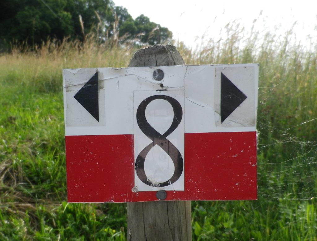
Marking: Black number 8 on a rectangular red and white stripe background

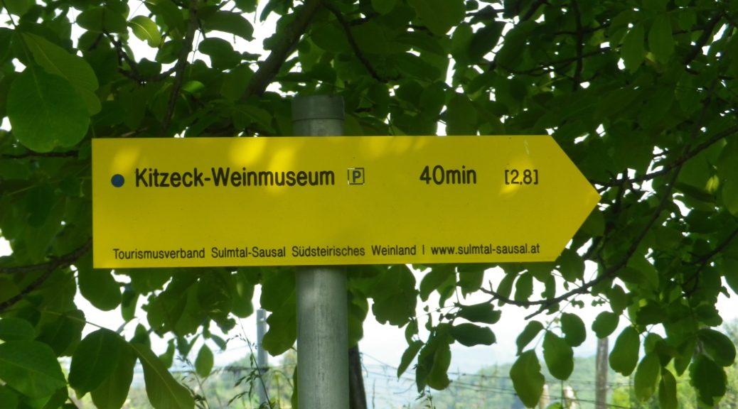
Signage: Kitzecker Weinwanderweg


Trail Description: This trail passes through a great variety of landscapes, and its hikers will encounter diverse trail conditions along the way. Three significant inclines/declines, but once on top hikers will enjoy fantastic panoramas of the surrounding district and beyond.

Trailhead:

Kitzeck in Sausal, Steinriegel, by the wine museum and church

Parking:

Kitzeck in Sausal, Steinriegel, by the wine museum and the church

Public Transportation Options:

Rail: Closest rail connection is in Leibnitz, coming from Graz. The Austrian train system is the Oesterreichische Bundesbahnen (OeBB), and the https://www.oebb.at/en/fahrplan link will provide timetable information for both the OeBB trains and Post bus system. (See below).

Bus: The OeBB Post bus system currently (June 2020) services Kitzeck from Leibnitz about 3 times a day on weekdays. Less often on weekends or holidays.

Suggested Stages: Not applicable

Trail Itinerary-Reference Points: (Clockwise)

Kitzeck: Sauegg Weg, path (found across from Kitzeckmueller tavern/restaurant driveway) through field then woods downhill to Sauegg, path along stream; Greith: cross L636, Schnabelveigl Weg; Annaberg: Landgutstr, path through forested area, Poetscherlweg; Perlleiten: along hamlet lane, vineyards, meadow, then pass Weingut Albert; Kleingauitsch: Uphill along L678, turn right onto path through fields and vineyards, woods; Kitzeck: Joshweg-Sacherneggweg I, L636 (AKA: Steinriegel and Sausaler Weinstrasse)

Representative Trail Photos:

Trail Section: Recently Mowed Grass Path


Through the Woods: Sample Trail Section


Representative Trail Section Along a Road


Restrooms:

Kitzeck: Steinriegel, behind the wine museum

Attractions on or near Trail:

Wein Museum: Highest wine museum in Europe

Tasting along the Trail:

Several wineries along or very close by, the trail

Alternative Options:

Biking: The Weinstrasse Tour offers four different variations (72, 49, 31 or 25 kilometer-circuits) on mostly little used roads through this wine district.

Mountain biking: The Klapotetz (elaborate scarecrow-like devices vintners use in the vineyards) MTB Runde is a 31-kilometer-long circuit passing through Kitzeck, and passing as far south as Heimschuh.

Car: Both the Suedsteirische Weinstrasse and the Sausaler Weinstrasse are relatively short, scenic car routes which take visitors to different wine villages, wineries and past local vineyards in this area.

Additional Information:

Regional: https://www.kitzecksausal.at/tourismus/tourismusverband/

https://www.sulmtal-sausal.at/de

Trail specific: https://www.outdooractive.com/de/route/wanderung/suedwest-steiermark/kitzecker-weinwanderweg-/1512229/

Comments:

Trail sections through meadows can be rather overgrown in June.

Villanders and Its Vines


A mere 17 miles from the Austrian border at the Brenner Pass, the first vineyards appear in northern Italy, along with some linguistic confusion. Following along the Eisack River, the Isarco in Italian, the vineyards begin just as the dramatic narrow pass begins to widen at Novacella, Neustift in German, by Brixen, Bressanone in Italian. Thus, it continues all the way south, throughout Suedtirol/Alto Adige, the South Tirol as English speakers call it.

This area is well-known throughout the German speaking world as a hiking and biking paradise set in the magnificent Dolomites. Here, the German passion for precision and perfection meets the Italian passion for food and wine, and the results are amazing.

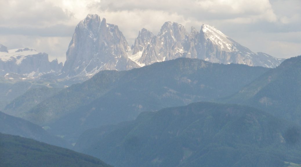
View of the Dolomites


Hiking in the northern half of the South Tirol provided more options and was less challenging than biking in it. While the mountains are steep, the paths are relatively well maintained and well-laid out. Although the physical effort was not as easy as hiking in the Rheinhesse wine region in Germany, or the Carnuntum wine region in Austria, any reasonably fit person could complete them.

Race to the Top (For the Ambitious)


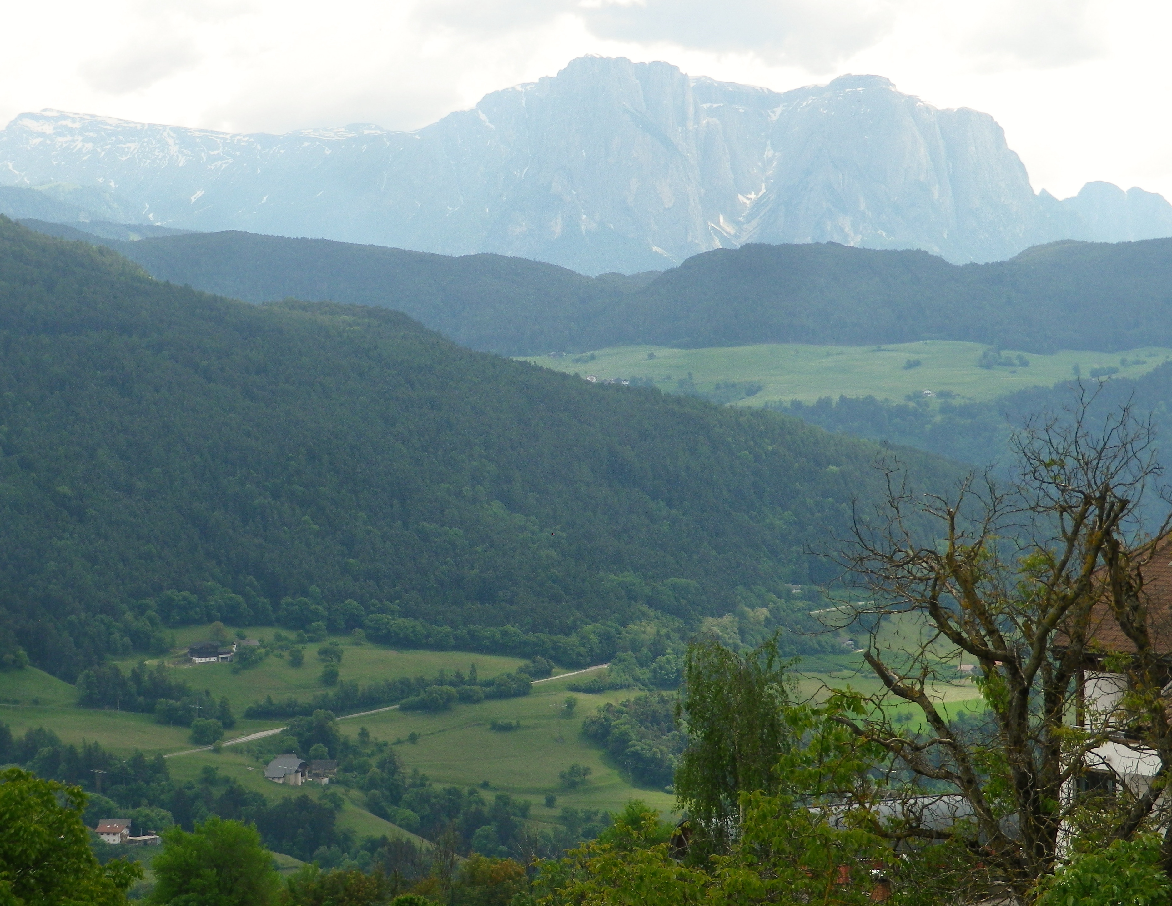
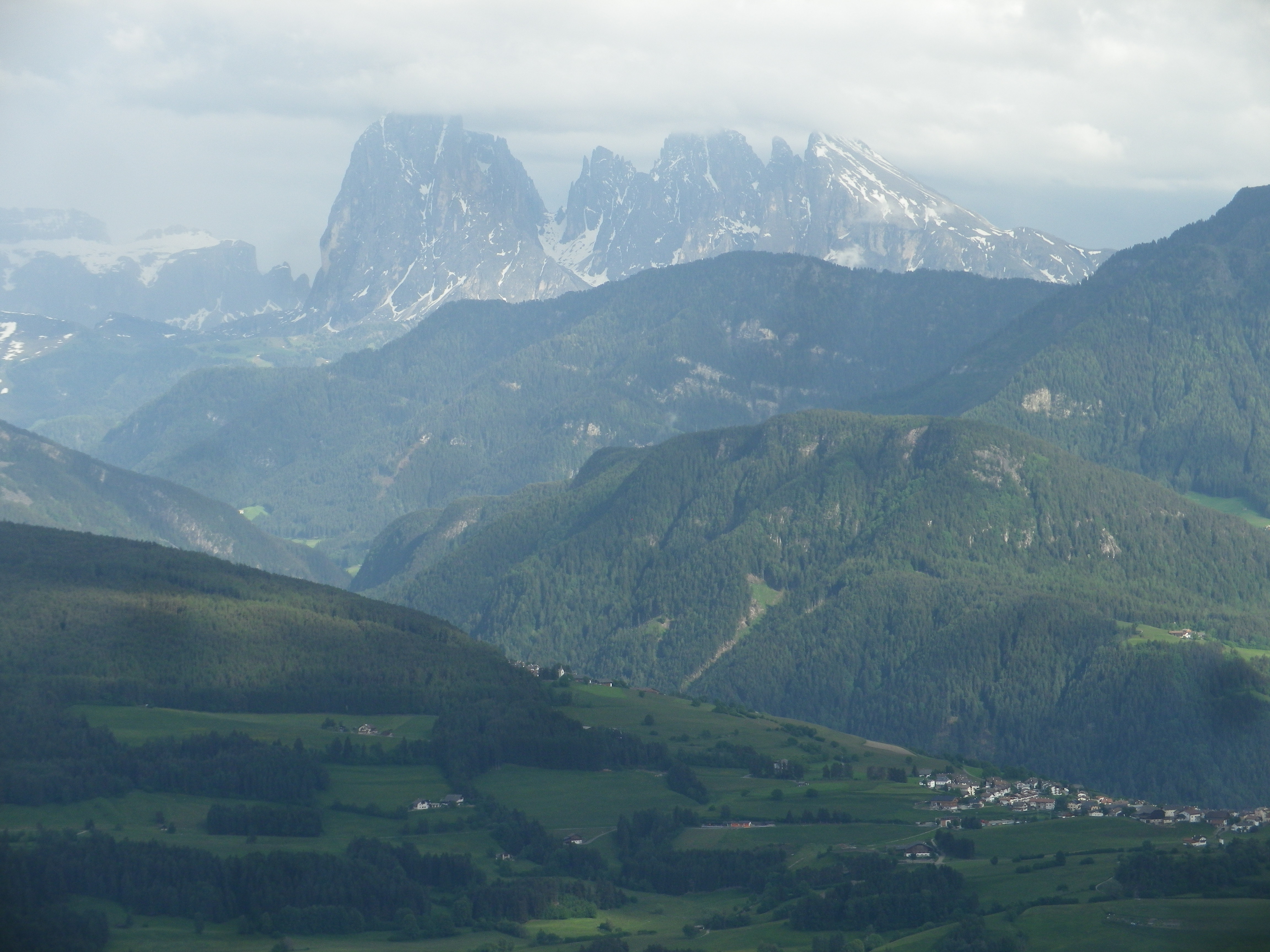
Amongst a plethora of trails, one wine-themed trail was located high up the western edge of the Dolomites. It was also opposite the Nature Park of Puez-Odle, and its famous peaks, the Odle Group, among them.  I figured that from a higher elevation, the views from the trail of the mountain peaks would be spectacular. I was not wrong in that regard.

Summits in the Clouds


The trail was named the Toerggeleweg. A toerggele is a wine press, and in this district, wine taverns are often identified with this term. The trail passes through or by vineyards, and wine taverns, as it meanders up and down the mountainside above Klausen/Chiusa, the main town in this district. This district is traditionally agricultural, and several multi-purpose farms run by extended families still exist. The trail often passes right along them. Nowadays, in addition to farming, and running the seasonal wine tavern (toerggele), many families rent places to sleep.

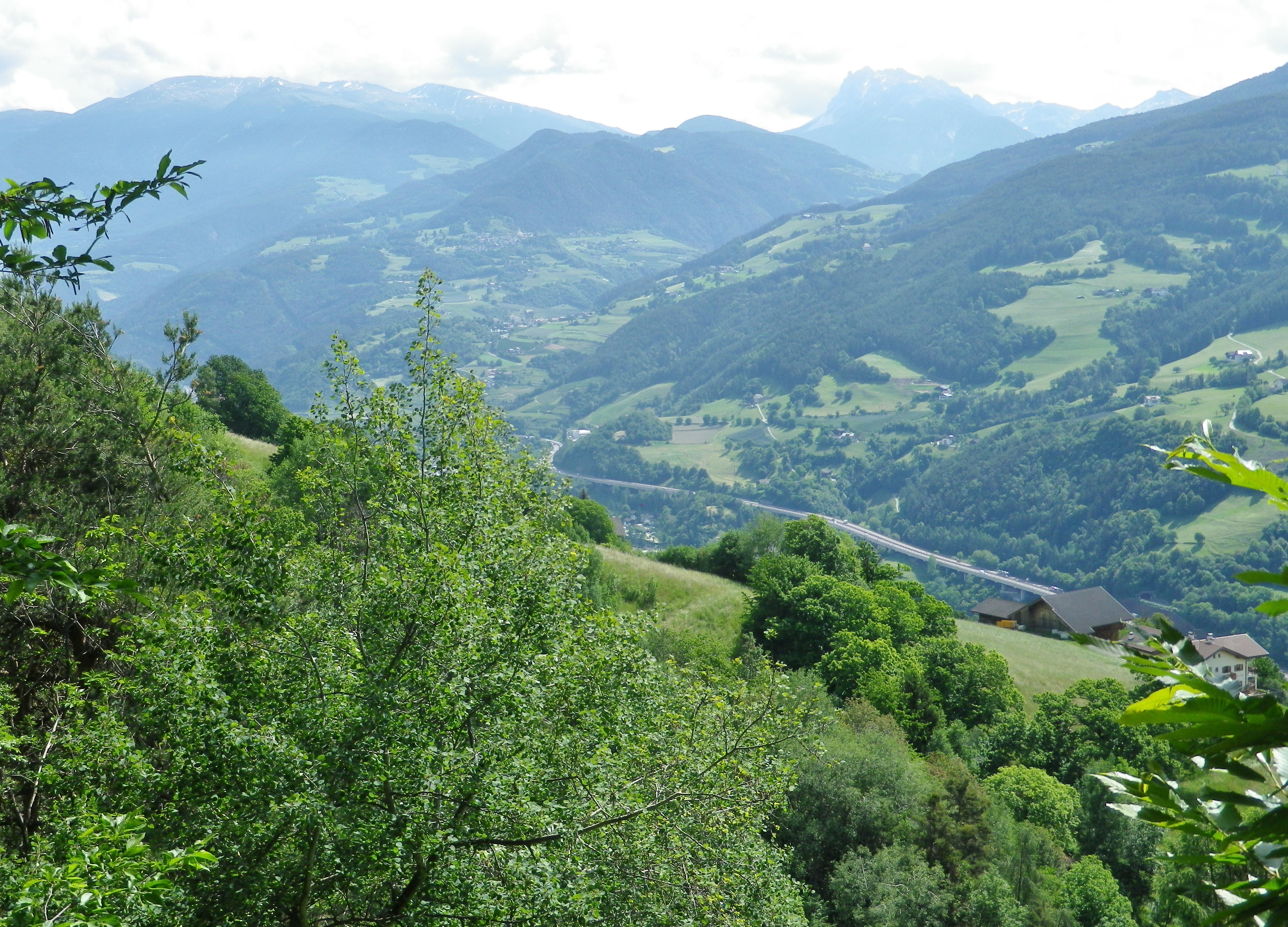
Up the Eisack Valley


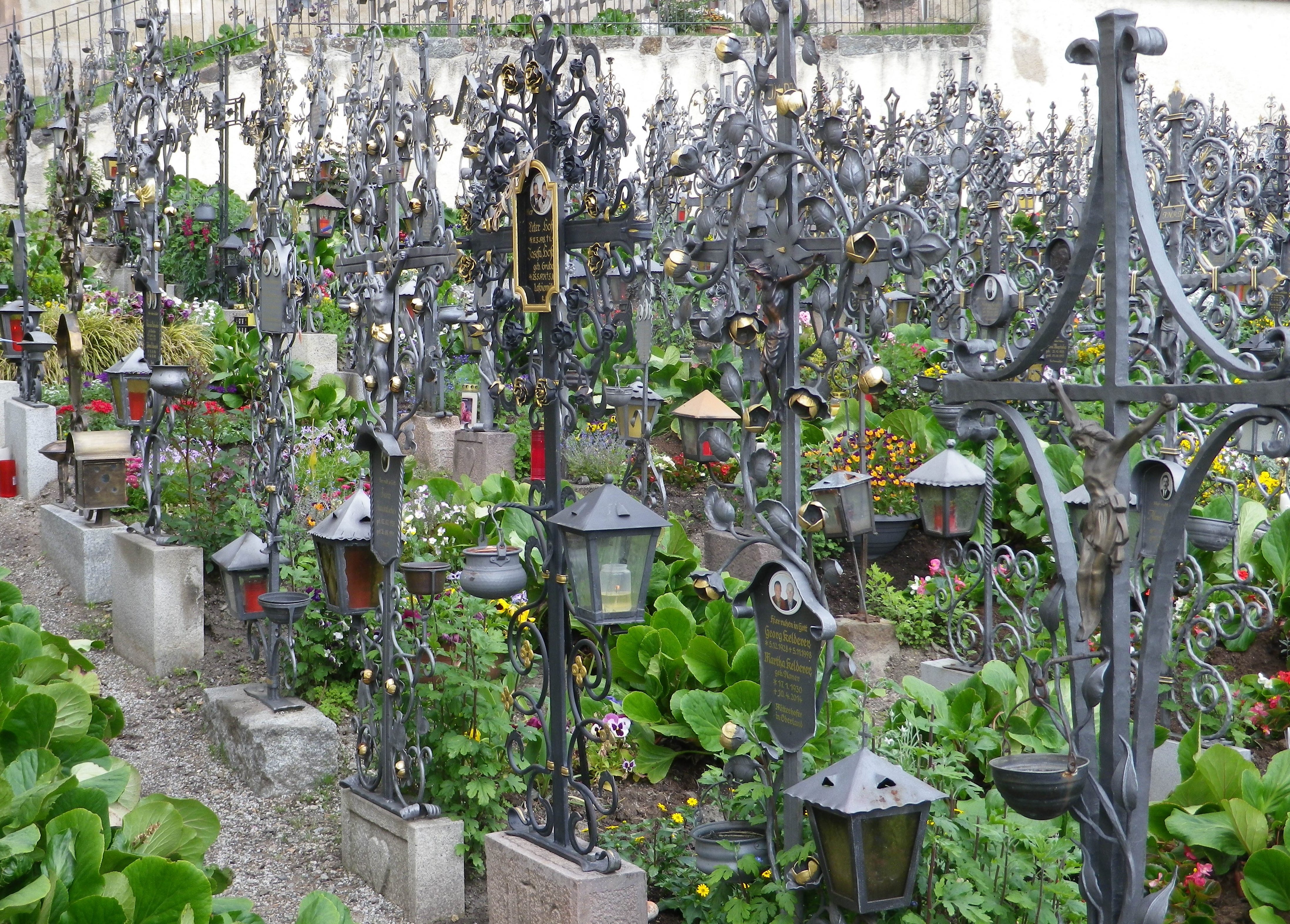
The trail began in the village of Villanders, a popular summer destination. In addition to the old houses lining the narrow streets, the village has an attractive old church, Santo Stefano, on the outskirts of the village. It is worth a visit, especially since the walled cemetery next to it is considered one of the most beautiful in the region. On just about every grave amazing ironwork commemorates the deceased. Much of the ironwork is extremely detailed, imaginative and expertly wrought.

Wrought Iron Grave Markers


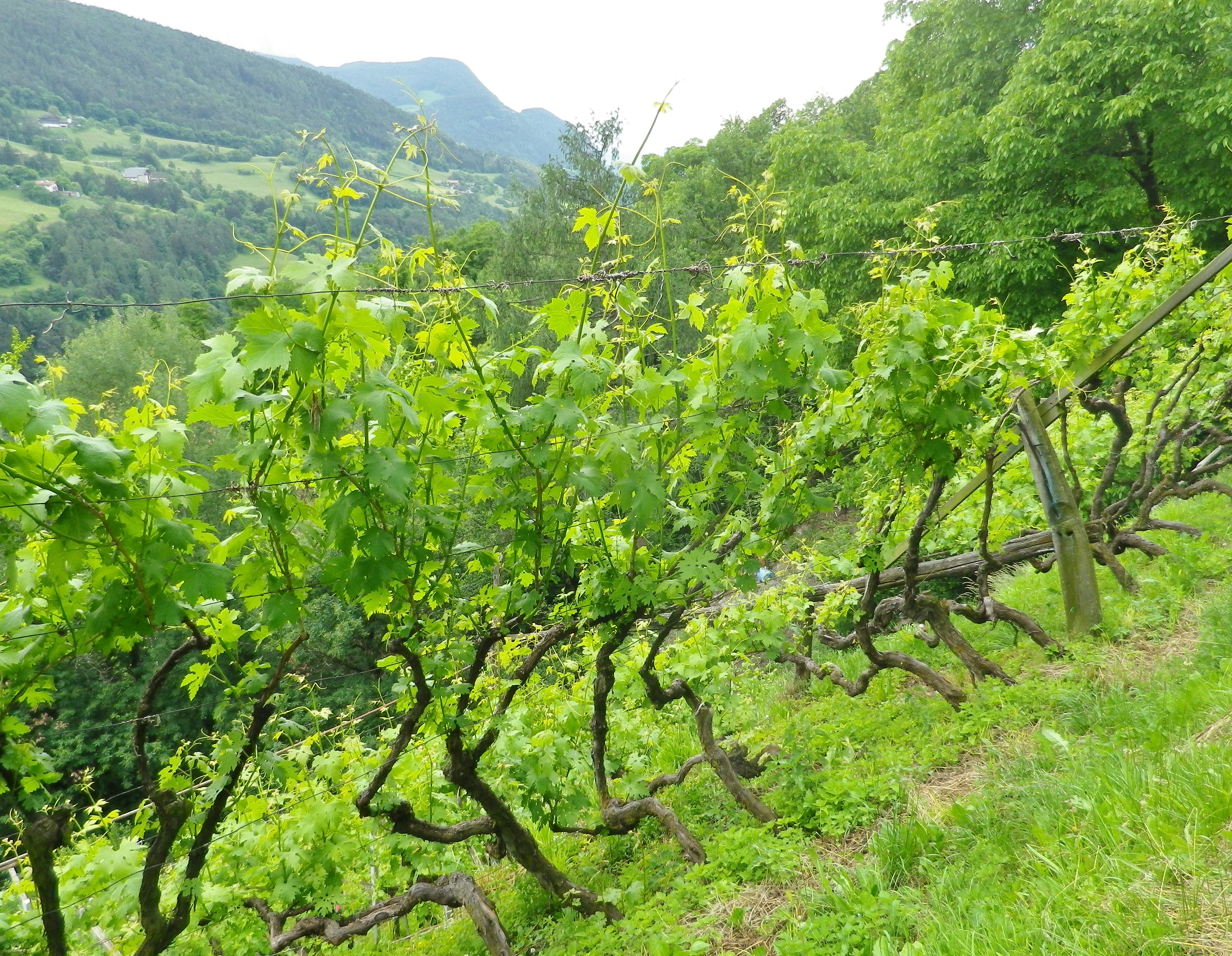
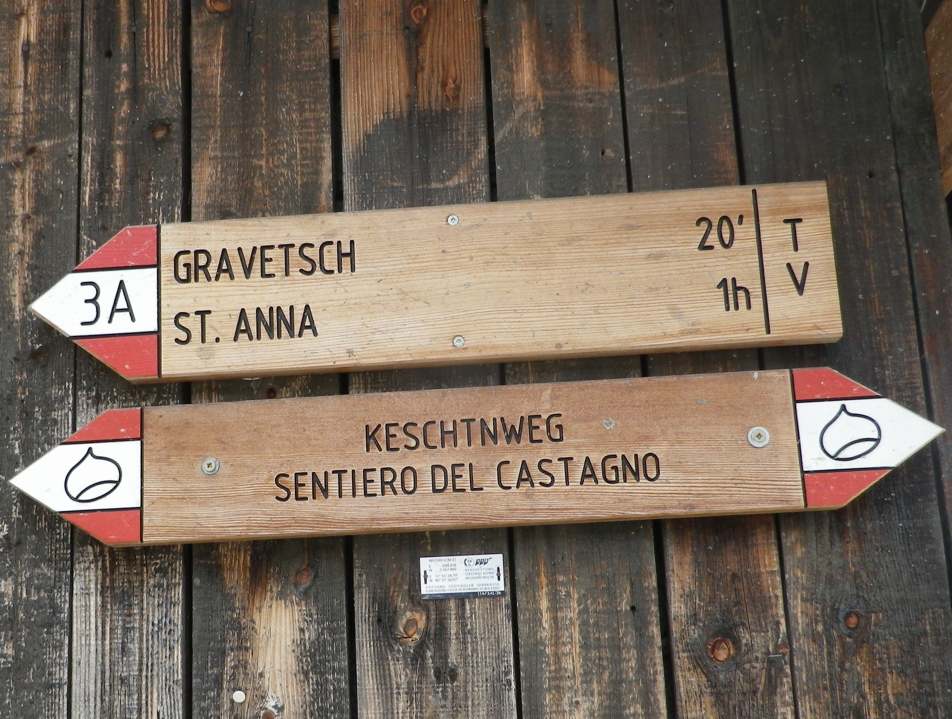
The trail proceeded through woodlands containing chestnut trees. This part of the Toerggeleweg follows along a popular long-distance trail called the Keschtnweg/Sentiero delle Castagne, or the Chestnut Trail. Before long though, I was in vineyards, the object of my hike. Most of the vines are trained high. In this southern Alpine wine region, the growth can be luxuriant quite early in the season. So many shades of green greeted the eye, everywhere I looked.

Vines in Early June


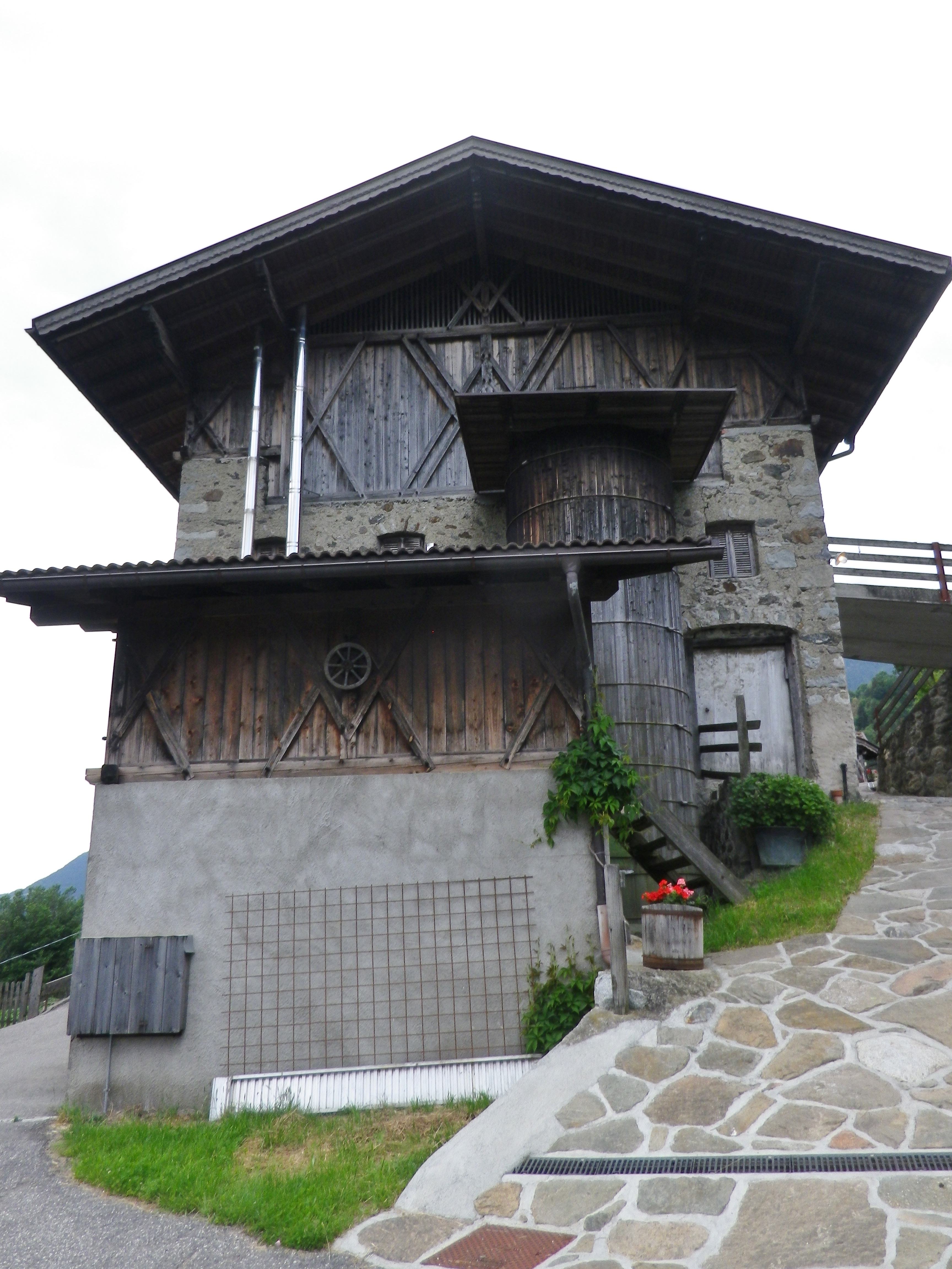
Every now and then, the trail lead through a farming compound or settlement. As I passed these buildings, I realized what spectacular settings most of them offered. Set on a steep-sided mountain looking across the deep valley, surrounded in part by vineyards, they were forested on untillable sites watered by rushing streams. These farms were well maintained, and looked inhabited. But they were eerily silent. Many rural settlements in Italy are slowly being emptied of local inhabitants, populated only as rentals during the summer season, as the young move to large towns for work, and the old move to towns for companionship. One older man, finishing his farm work for the day, drove by in a creaky Fiat Cinquecento and asked if I wanted a lift. Given that I had quite an incline ahead of me, I was tempted. I should have taken his offer, as I am sure he would have had interesting stories to tell about life on the mountain in days gone by.

Shuttered Farm Along the Trail


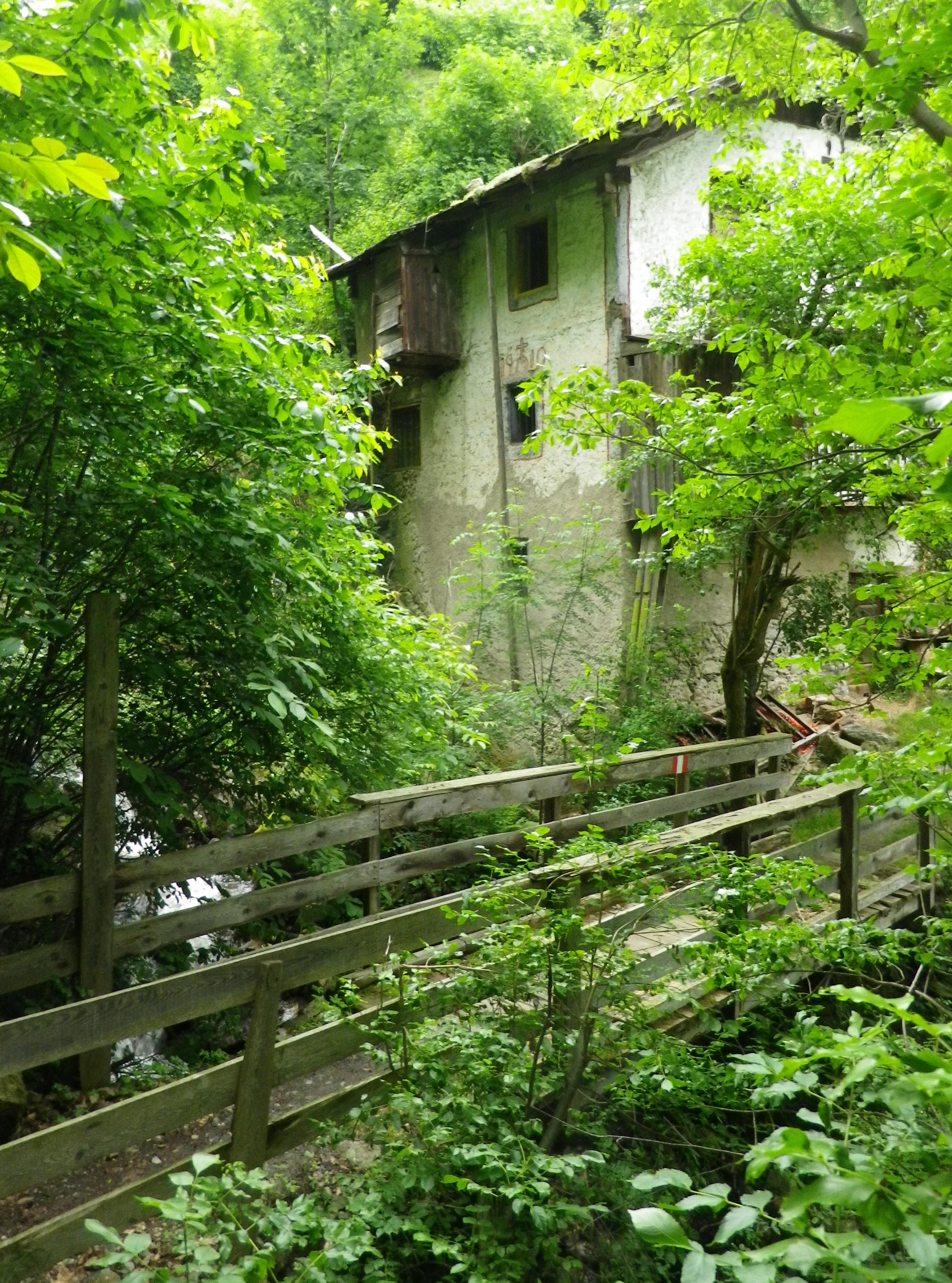
The trail eventually reached the hamlet of Sauders. More houses, and more people (three) than I had seen for over an hour. At Sauders, the trail reached its southern-most point. The slow incline up and back to Villanders began, leading out of the hamlet on a well-maintained trail, the Kirchsteig. It soon passed an old mill on a torrent, barely contained in its course as it bounded down the mountainside.

Abandoned Mill


Just as the Kirchsteig joined the road to the center of Villanders, I had one more expansive view of the Eisack river and its valley, making its way through the Dolomites on its way to points south. A memorable end to a memorable trail, or possibly four or five due to the multiplicity of trails and trail names involved!


Toerggeleweg: Trail in a Nutshell


Trail Name: Toerggeleweg Villanders/Villandro (AKA Toerggelesteig) (See comment below)

Trail Type: Short distance circuit; somewhat maintained, mostly rough surfaces outside built-up areas, sometimes spotty marking on the trail.

Length:

Total – approximately 8.5 kilometers/ 5.25 miles

Convenient to: Klausen/Chiusa, Bozen/Bolzano, or Brixen/Bressanone, Suedtirol/Alto Adige, Italy

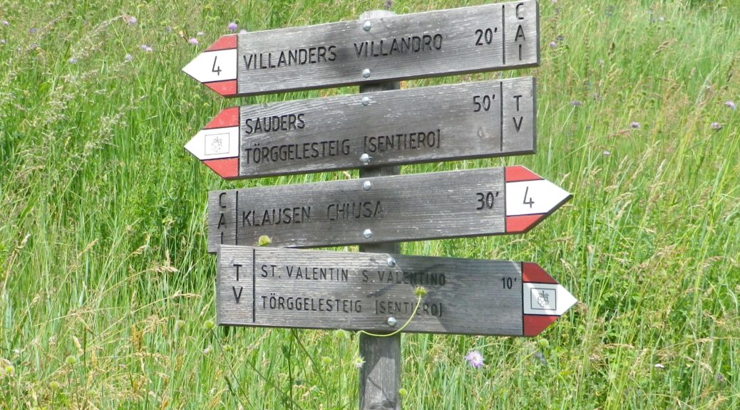
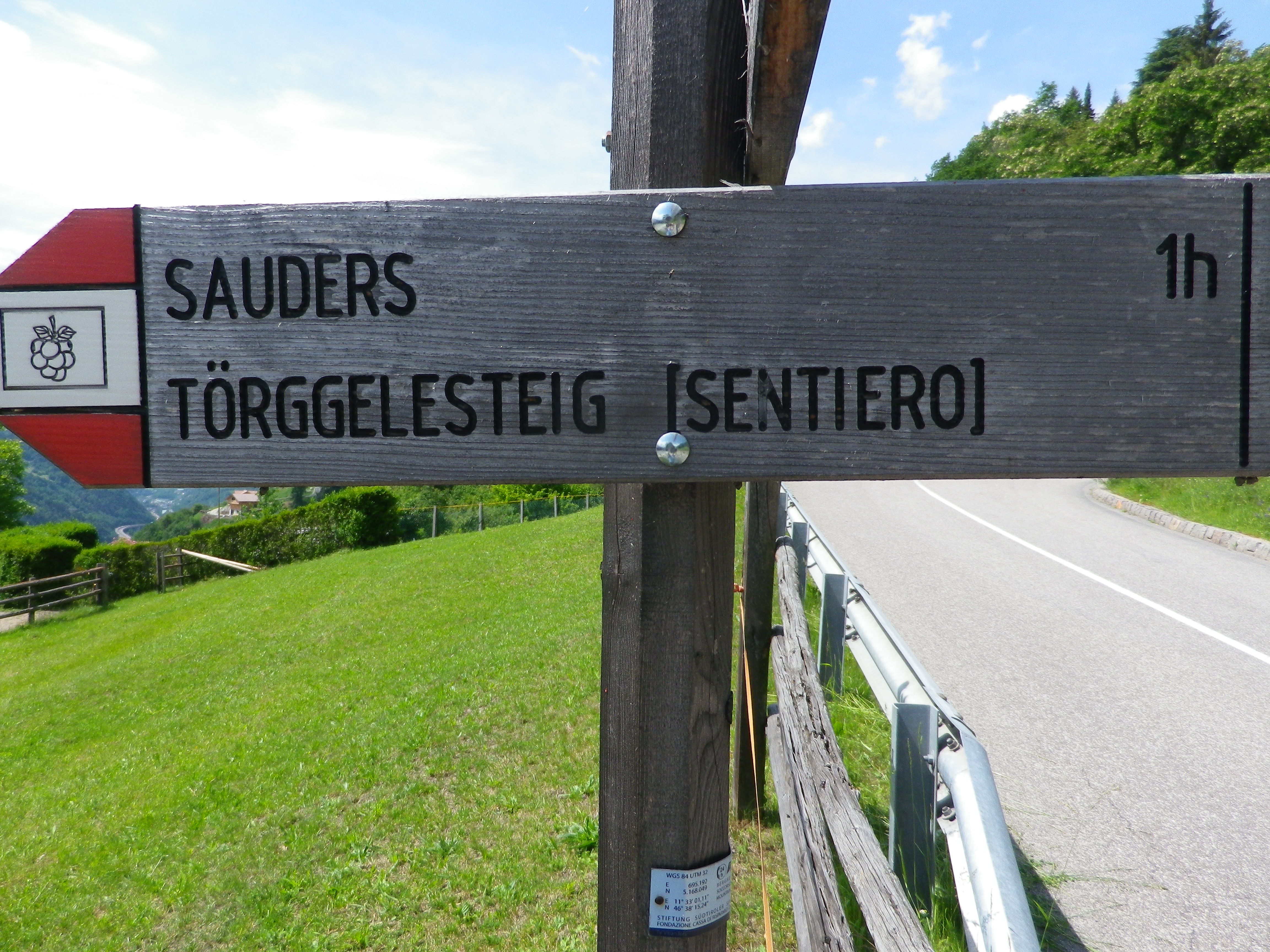
Marking: Partly along the Keschtnweg/Sentiero del Castagno (chestnut outlined in black on a white background), partly along the Toerggeleweg (AKA Toerggelesteig) bunch of grapes outlined in black on a white background; In Italy in general, horizontal white and red rectangles, either in isolation or with a trail name or symbol, indicate you are on a hiking trail.

Keschtn/Castagno Trail Marking


Toerggelesteig Signage


Trail Description: Beginning in a village, this circuit trail passes through a nice variety of woodland, meadow and vineyard landscapes, while providing fantastic views of the majestic Dolomite peaks in the Odle Group. While slightly more challenging than some vineyard hikes on account of the rougher trail surfaces (in places), numerous ascents and descents, and generally steeper terrain, it is suitable for most moderately fit hikers.

Trailhead:  Villanders: Kirche Sankt Michael/San Michele, Vicolo Franz v. Defregger (by Hotel Ansitz zum Steinbock)

Parking:

Villanders: Unterdorf, a medium-sized lot (behind and below the townhall/tourism office)

Public Transportation Options:

Rail: Regular service from Brixen (to the north) or Bozen (to the south) to Klausen

Bus: Service from Klausen to Villanders is available through Verkehrsverbund Suedtirol, the 345/ Villandro-Chiusa line. Information may be found (as of June 2020) at www.suedtirolmobil.info.

Suggested Stages: Not applicable

Trail Itinerary-Reference Points: (Clockwise)

Villanders: Center of Villanders (Unterdorf x Hofstatt)’ Path below Kirche Sankt Michael/San Michele, Fussweg St Stefano-Gravetsch, briefly on St Valentin; cross the creek; woods, Erzweg, Johannser (settlement), cross creek lower down; Sankt Valentin/San Valentino: Am Erzweg/Via alle Miniere, Landestrasse/SP 87, past a chapel; Bodenacker: Past some houses, onto Toerggelesteig path, downhill then uphill through woods; Oberstattleitner compound; Unter St Stefan/St. Stefano: Past the Ober- and Unter- Furner compounds; Sauders: past a church; Kirchsteig path (blue and white signs), Villanders: Hofstatt, toward town center (Ortsmitte)

Representative Trail Photos:

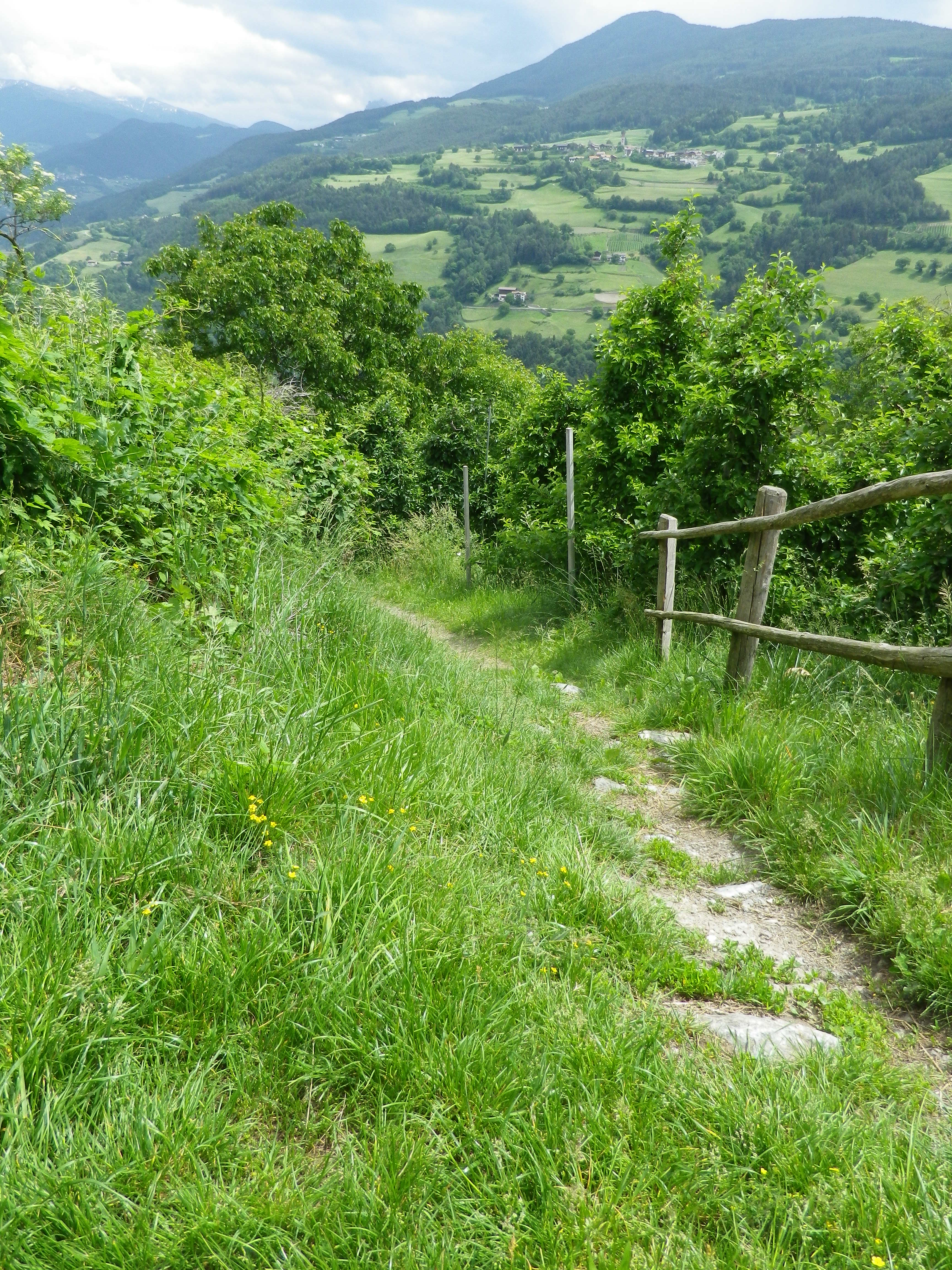
Representative Trail Section Through Meadows
Representative Trail Section Through Forest


Restrooms:

Villanders/Villandro: In the Cemetery, in the hillside above the graves

Villanders/Villandro: Down behind the town hall complex, by the sports fields

Attractions on or near Trail: None (except the scenery!)

Tasting along the Trail:

Look for Toerggele or Buschenschank, especially in Sauders and nearby Oberfurner and Oberpartegg, and hotel restaurants in Villanders center.

The regional cooperative is on the outskirts of Klausen.

Alternative Options:

Hiking: Lots of hiking trails, naturally, but only the other Toerggelesteig trails in Klausen, Feldthurns and Barbian (see comment below), and the Leitach-Chiusa Sentiero del Vino (a 4.5 km circuit), are wine-themed trails.

Additional Information:

Regional: https://www.klausen.it/it/

Trail specific: https://www.klausen.it/it/365-giorni-attivita/escursionismo/escursioni-consigliati/

Comments:

In addition to Villanders, nearby Klausen/Chiusa, Barbian/Barbiano and Feldthurns/Velturno also have Toerggelesteig trails, especially popular during new wine season in the autumn. This may account for a number of trails in the area being marked on some maps as “Toerggelesteig,” which exceed the scope of the Villanders circuit described above.