Category Archives: Hiking

Climbing for Wine


The climbs were steep, but the views were very rewarding. With more time, I would have done more climbs. In fact, in my castle hiking days, I had already hiked to several highpoints and castles on this trail: the Neuleiningen, the Wachtenburg, Hambacher Schloss, the Kalmit lookout, and that is just in the Mittelhaardt district. But at 185 kilometers, I didn’t have enough vacation days left! So perhaps on some other trip to Germany, I will be able to complete the Pfaelzer Weinsteig Trail.

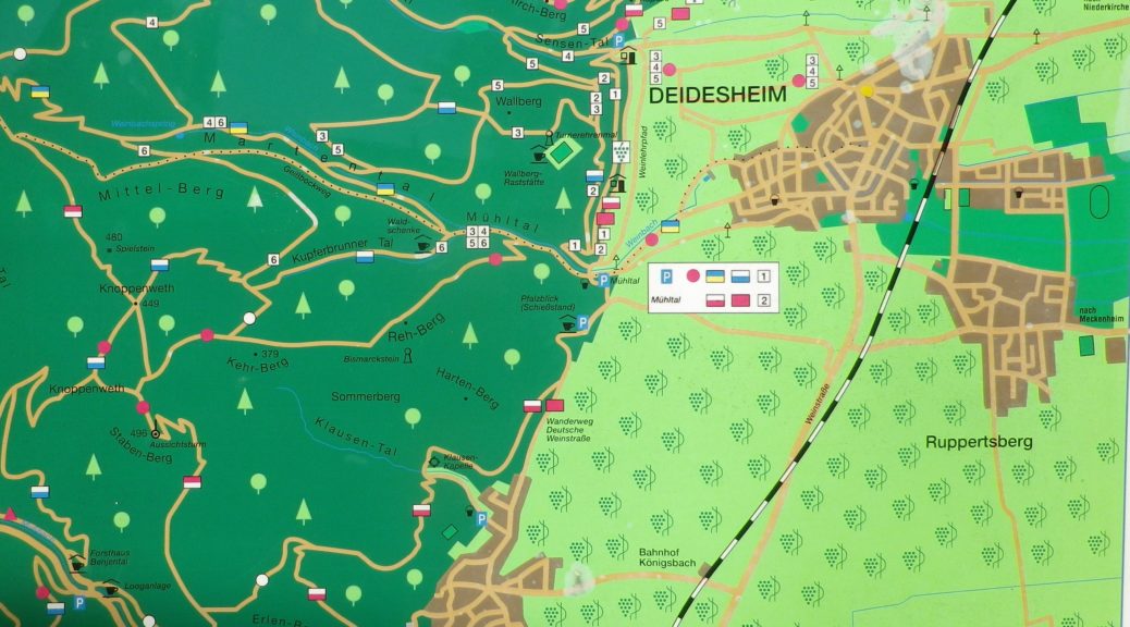
For hikers looking for an intimate experience of the Pfalz wine region, this trail covers much of the region, as does the Wanderweg (Hiking Trail) Deutsche Weinstrasse (see the Nutshells here and here). The similarities between the two is that each pass through famous wine towns and villages, where there are countless opportunities to sample the wines and visit wineries. They both also cover a variety of landscapes from urban, to vineyard to forest. The big difference is the level of difficulty. The Wanderweg Deutsche Weinstrasse is rather easy, with only a few steep climbs into woodlands. On the other hand, the Pfaelzer Weinsteig climbs from the villages, often located at the base of the hills, far into the hills of the Pfalzer Wald forest. In that sense, the trail is physically more challenging, and more diverse.
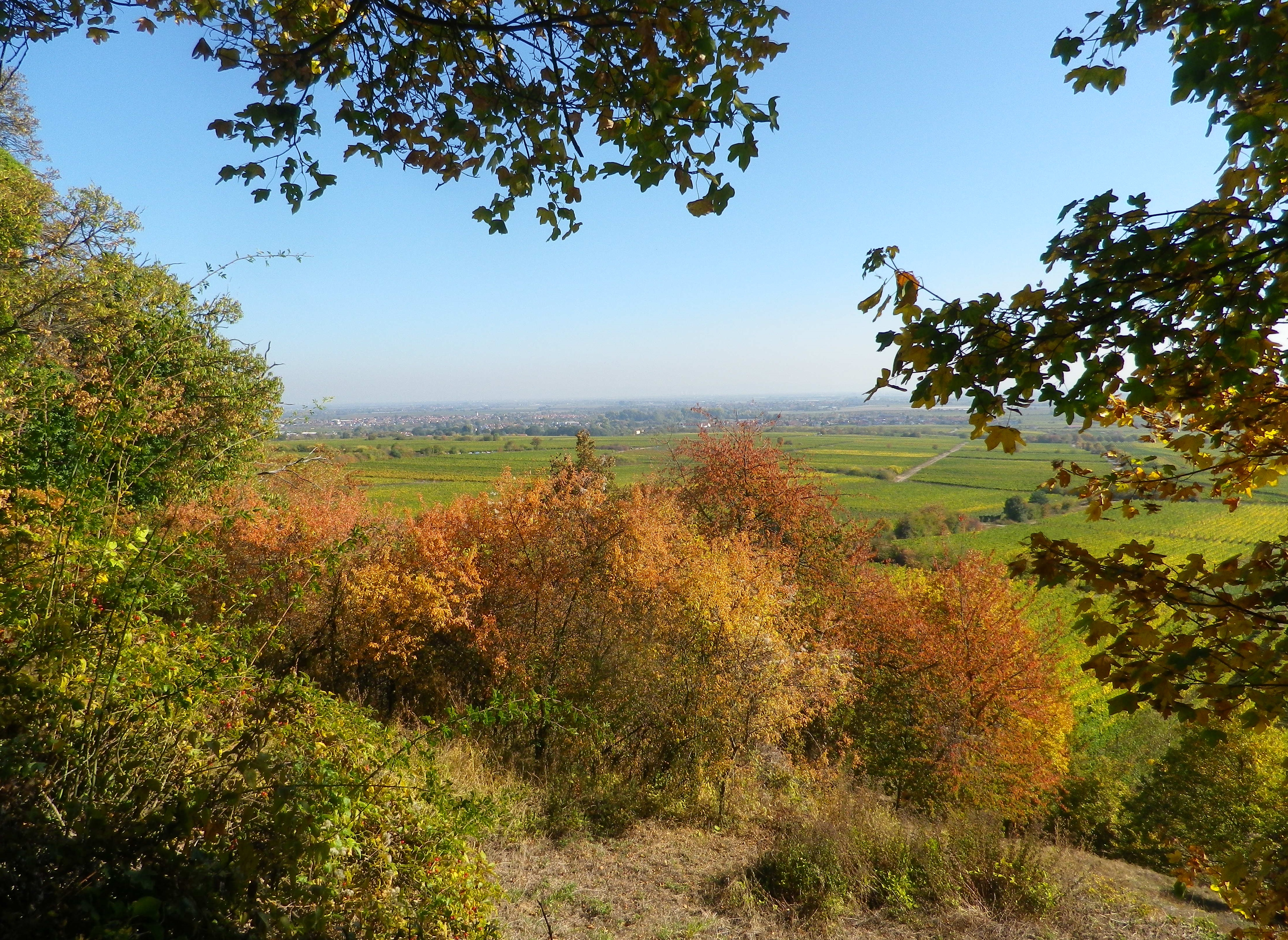
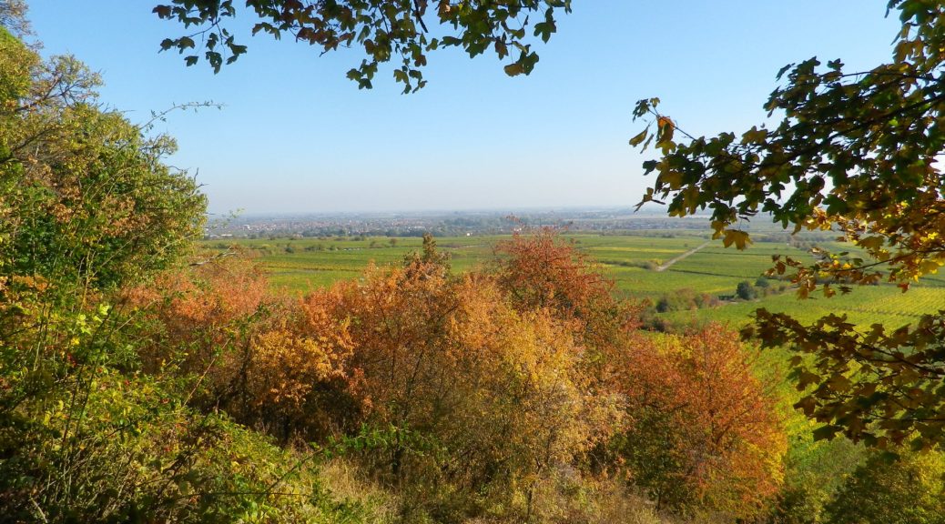
On the Trail: Rhine River Valley

Continue reading Climbing for Wine

Pfaelzer Weinsteig: Trail in a Nutshell


Trail Name:  Pfaelzer Weinsteig

Trail Type:

Long distance trail; well-maintained albeit with some rougher stretches along the segments through the forest and hills, naturally, marking on the trail very good overall

Length:

Total – 185 Kilometers/114 miles

Stage 4: 20 kilometers/12.5 miles (Deidesheim to Neustadt an der Weinstrasse)

My segment*- 7.5 kilometers/ miles (Train station, Deidesheim to Gimmeldingen)

Convenient to:

Bad Duerkheim or Neustadt an der Weinstrasse, Rheinland-Pfalz, Germany

Marking:

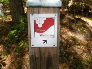
Red and white square, with white grapes on red background, trail name in red and white letters, alternatively simply red over white stripes

Signage Pfaelzer Weinsteig

Continue reading Pfaelzer Weinsteig: Trail in a Nutshell

The Other Champagne


Far from Reims and Epernay, there is another Champagne. Not one of grand houses, and wealthy luxury firms. This district is a quiet, country-based one, and very much in touch with its roots. This is the Department of the Aube, close to Champagne’s border with Burgundy, with which it shares a passion for terroir. It was the terroir and the family run champagne houses here that I came to visit.

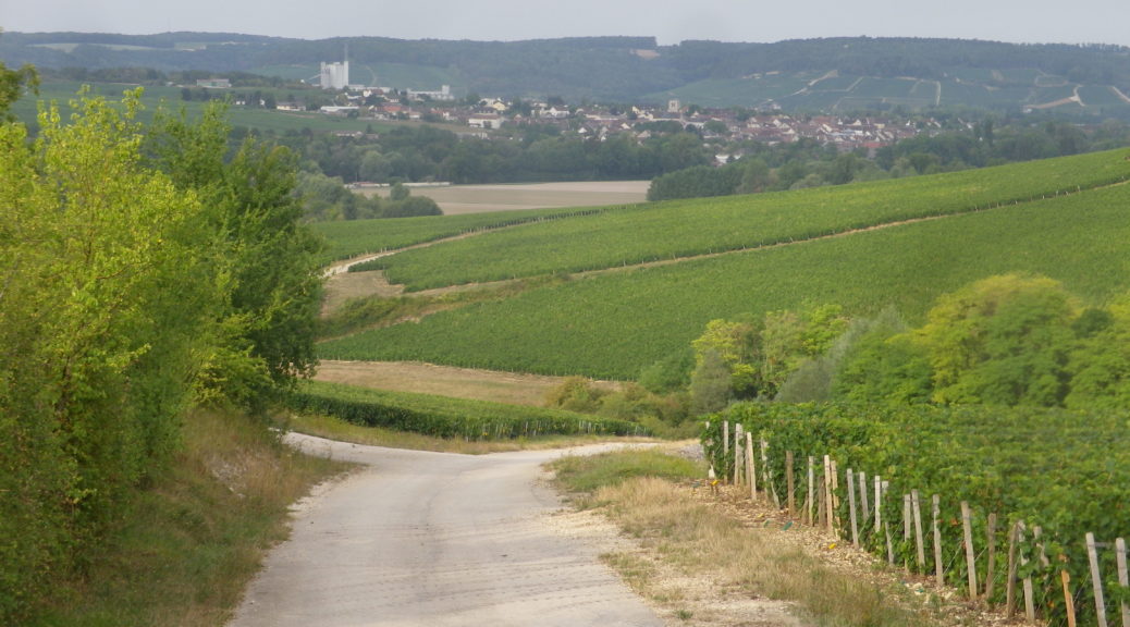
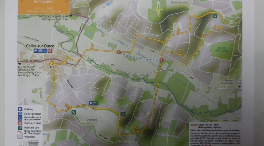
The Cote des Bars wine district lies between the small towns of Bar-sur-Seine and Bar-sur-Aube. The vineyards lie mostly on south-facing slopes. It is a very tranquil area, ideal for easy, relaxing hiking adventures. The trail I hiked was in a small village just south of Bar-sur-Seine. Celles-sur-Ource, like Bar-sur-Seine and Bar-sur-Aube, follows along a river, the Ource. This tiny river is a natural watershed for the area, and the trail took advantage by crossing it a couple of times, which provided nice opportunities to walk along the gently flowing waters.

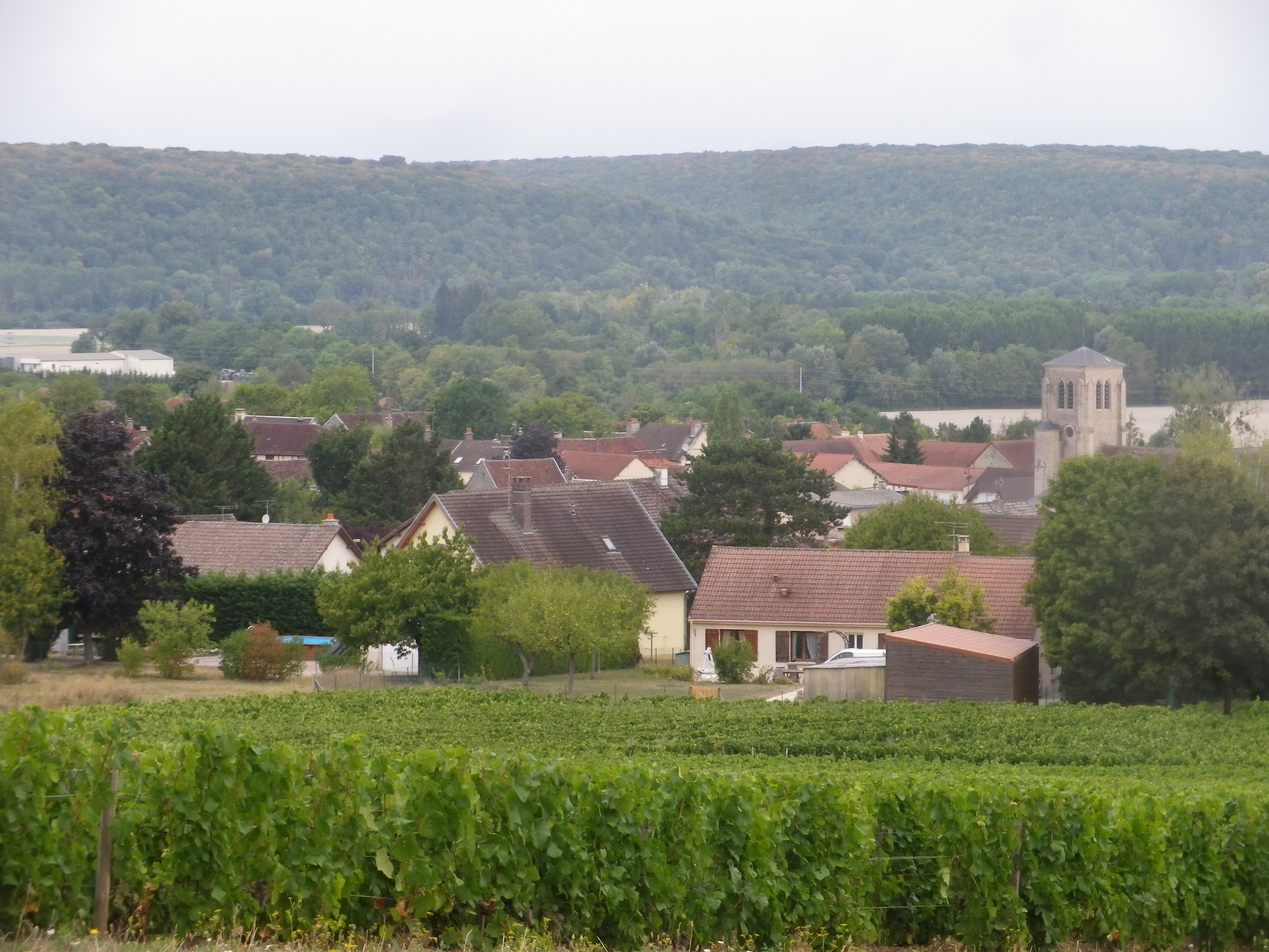
Celles-sur-Ource: Little Village, Lots of Champagne Houses

Continue reading The Other Champagne

Chemin du Vigneron: Trail in a Nutshell


Trail Name:  Chemin du Vigneron (Wine-maker’s Trail)

Trail Type: Mid-distance circuit; well-maintained with hard (paved or packed earth) surfaces; marking for this itinerary is fairly consistent throughout, (but was missing in a couple of places in 2019).

Length:

Total – 11 kilometers/6.8 miles

Convenient to: Troyes, and Bar-sur-Seine, France

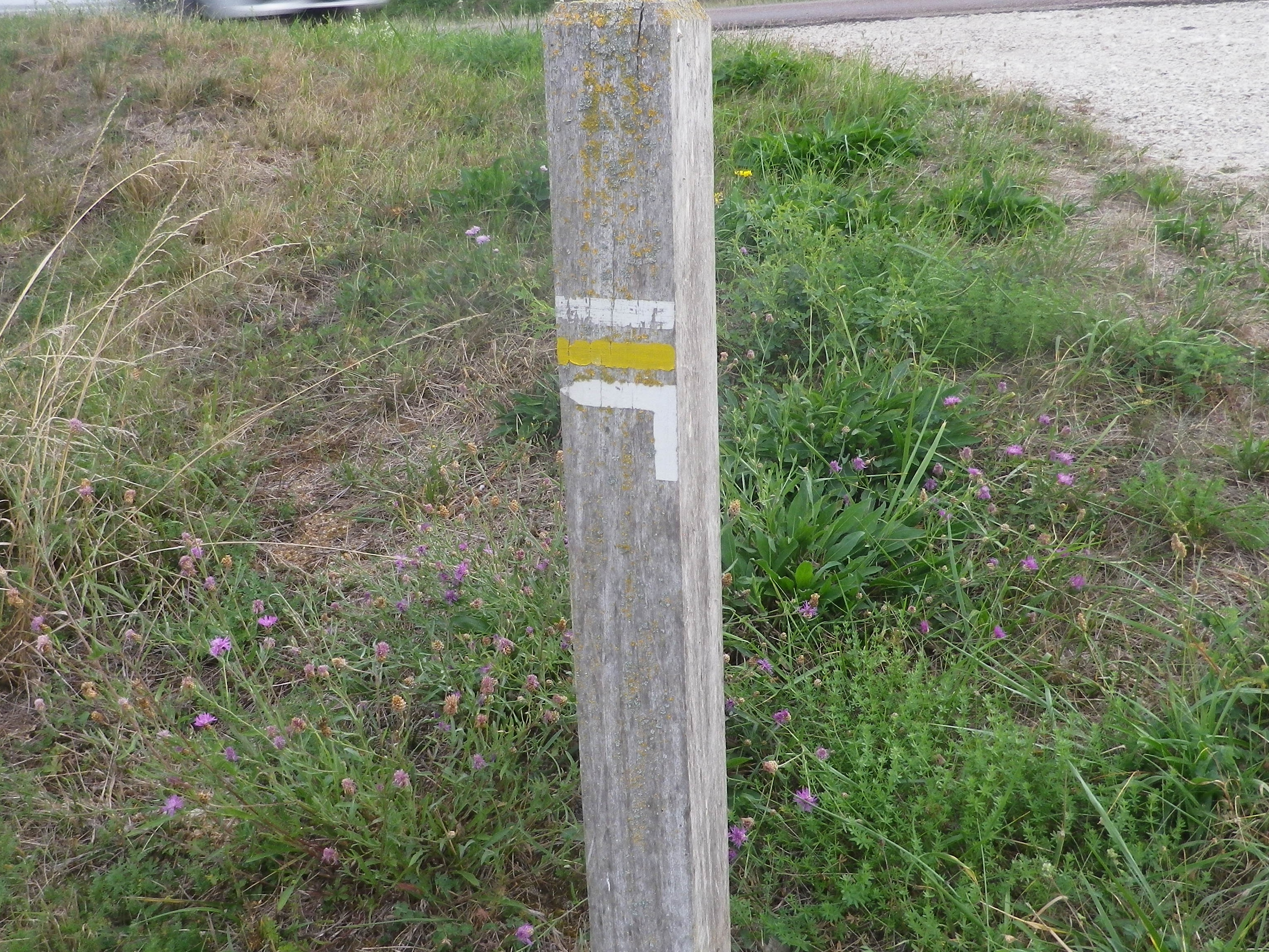
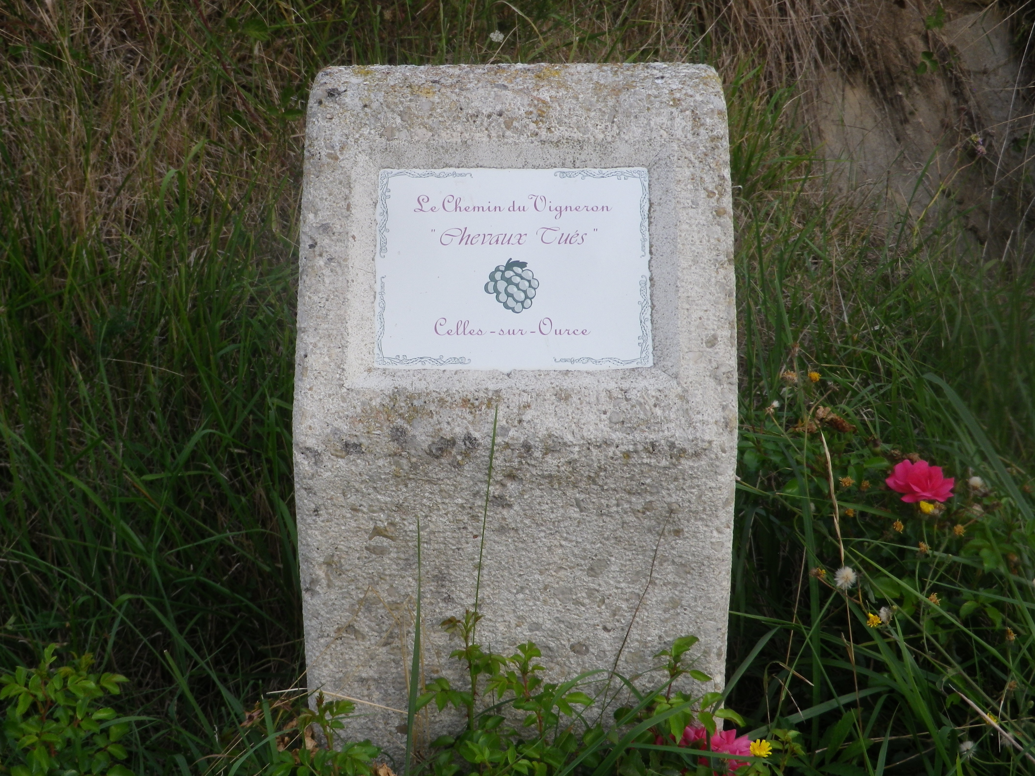
Marking: Yellow bands and white bands, as well as informative concrete posts in vineyards marking named vineyard areas

Sample Directional Marking for the Trail
Sample Informational Markers on the Trail

Continue reading Chemin du Vigneron: Trail in a Nutshell

Remembering Ahrtal


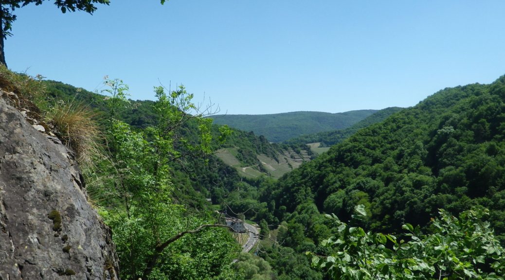
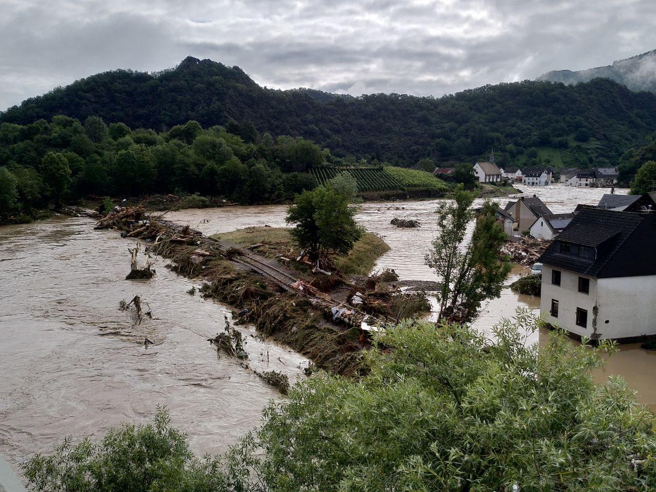
I remember the Ahrtal and its wines.  As evident below the photograph, the trail I hiked in May 2018 passed through an area filled with quiet charm and natural beauty, known for full-bodied red wine. Unfortunately, the area is now known for the epic July 2021 floods. Raging waters devastated town after town along the trail. Lives were tragically lost. The vintners lost not only this year’s harvest, old vines, and the work of decades, many also lost even the wines in their cellars. The human cost in suffering and loss of lives has been enormous. As a reminder of life, loss, and love of the area, I republish this series of posts with best wishes for recovery, in all its senses.

Wiki: Altenahr Flood, by Martin Seifert

Continue reading Remembering Ahrtal

Rotweinwanderweg: Trail in a Nutshell


Trail Name: Rotweinwanderweg (Red Wine Hiking Trail)

Trail Type: Long distance; surface footing is all hard, be it on tarmac or hardpacked earth or stair-steps; very well maintained, and extremely well-marked.

Length:

Total: 35.5 kilometers / 22 miles

My segment: Altenahr to Marienthal (@15 kilometers / 9 miles)

Convenient to: Bonn, Germany

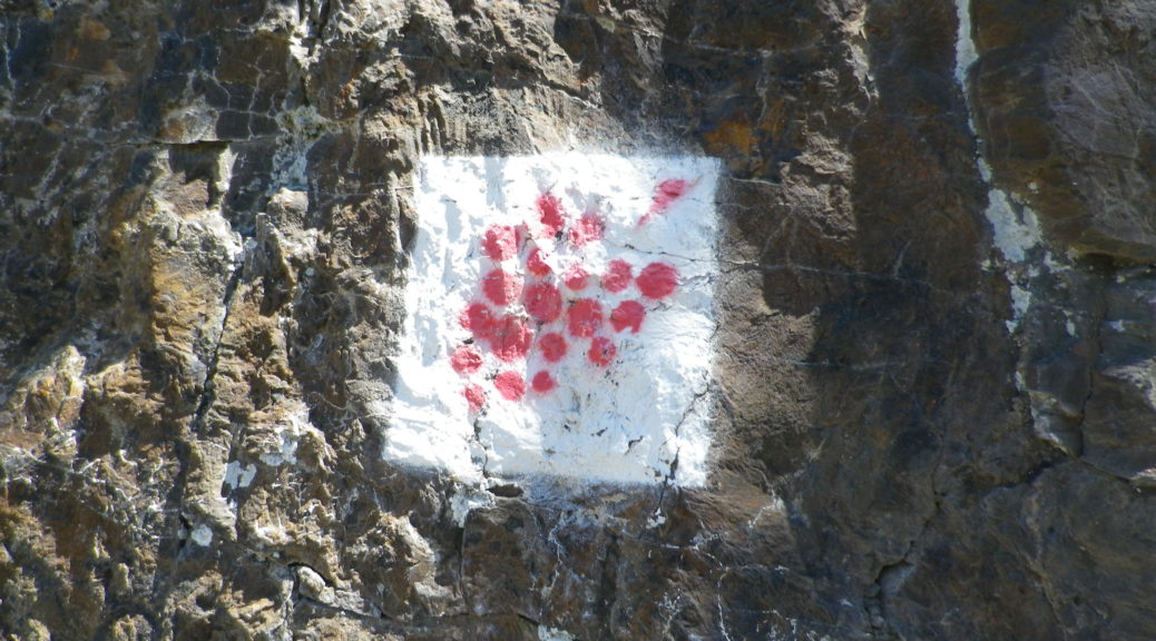
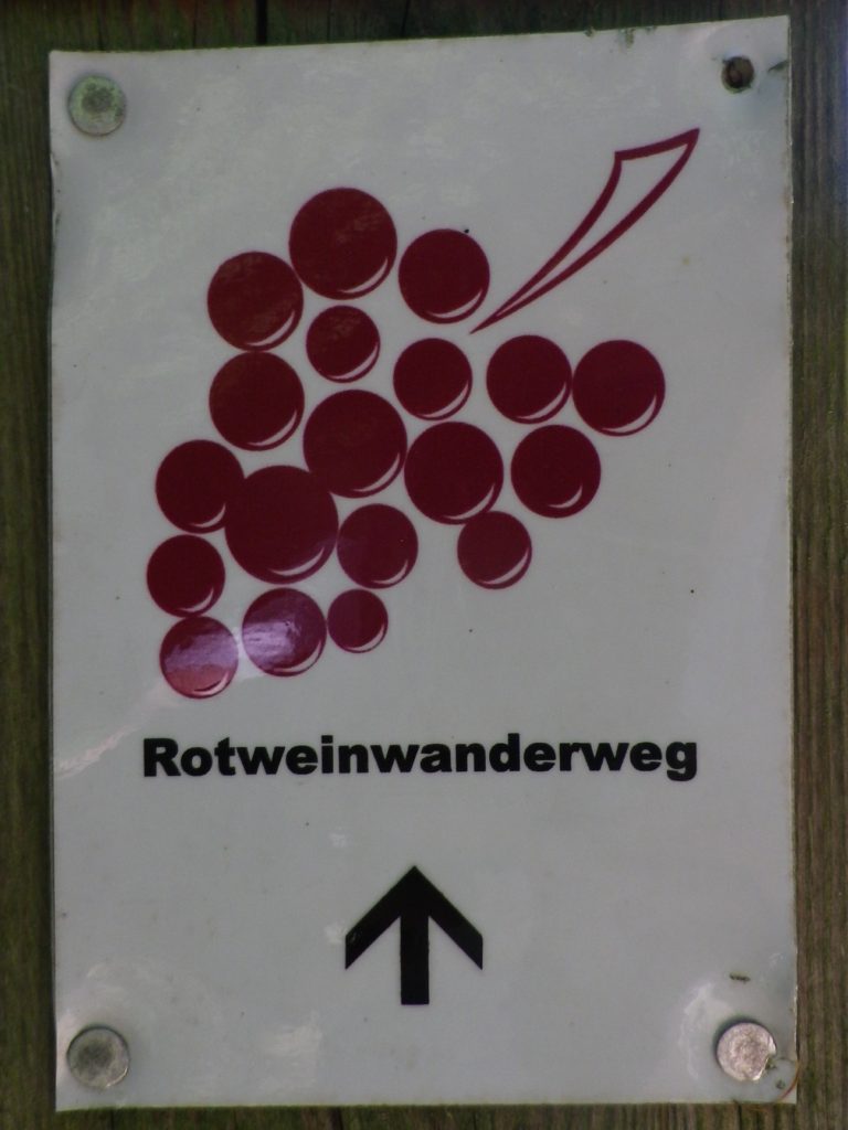
Marking: Red grapes on a white background

Rotweinwanderweg Signage

Continue reading Rotweinwanderweg: Trail in a Nutshell

Rosé at the Spa


Bad Gams is an Austrian spa town, quaint, quiet, thoroughly devoted to relaxation. What better way to relax than an early morning hike, (provisioned with mineral waters), some time at a spa, followed by a sampling of the local, but widely known, Rosé: Schilcher?

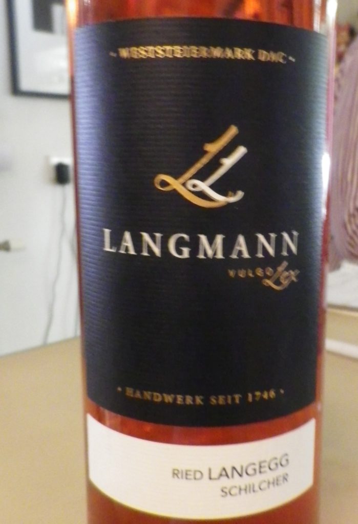
A Schilcher Wine Label


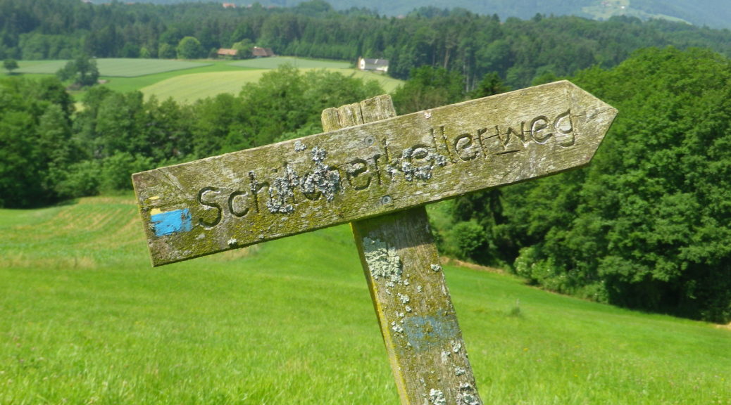
In fact, the trail I followed early one June morning was entitled the Schilcherkellerweg. A mouthful for so early in the morning, but broken down it translates as Schilcher Cellar Trail. It was an easy-going (figuratively and literally speaking) hike that took in the best of what this area has to offer: vineyards and spa waters.

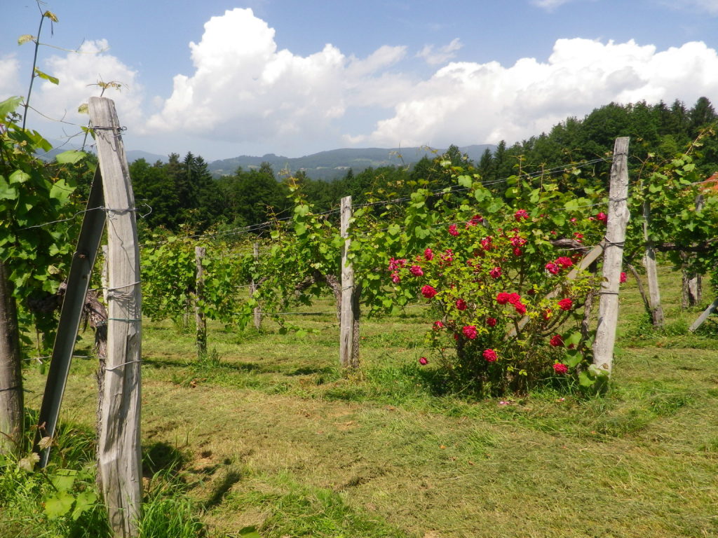
Weststeiermark Vines and Roses

Continue reading Rosé at the Spa

Schilcherkellerweg: Trail in a Nutshell


Trail Name:  Schilcherkellerweg (SKW)

Trail Type: A mid-distance circuit trail; fairly well-maintained, partly paved, some grassy or slightly rougher surfaces, and the rest is hard-packed surface; marking on the trail is good, most of the time.

Length:

Total – 10.5 kilometers/6.2 miles

Convenient to: Stainz, Deutschlandsberg, or Graz, Austria

Marking: Signs, or simply marks (on trees or poles) of  blue and yellow horizontal stripes

Continue reading Schilcherkellerweg: Trail in a Nutshell

Vineyard Views from Vignale


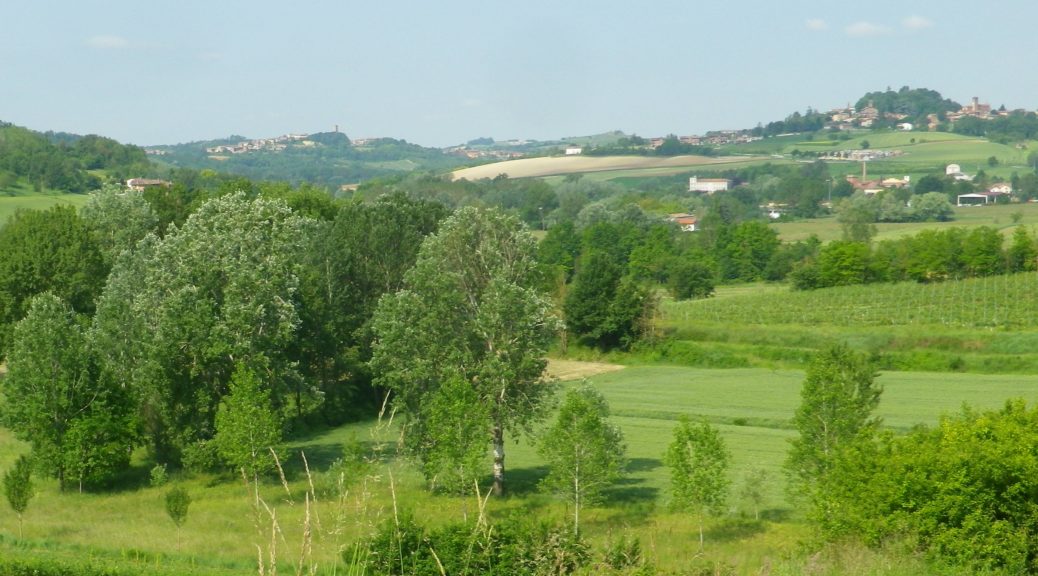
I immediately resolved to visit the village of Vignale Monferrato, and wander its vineyards, on my premier trip to the Monferrato district in northern Italy.  I first saw the vineyards and the village while hiking in 2016 through the Malvasia vines of nearby Casorzo.  Rounding a prominence, I spied distant vineyards circling a steep hill capped by a compact village. Capping the village itself is an impressive parish church, with the most expansive view imaginable of the Monferrato from its side-yard.

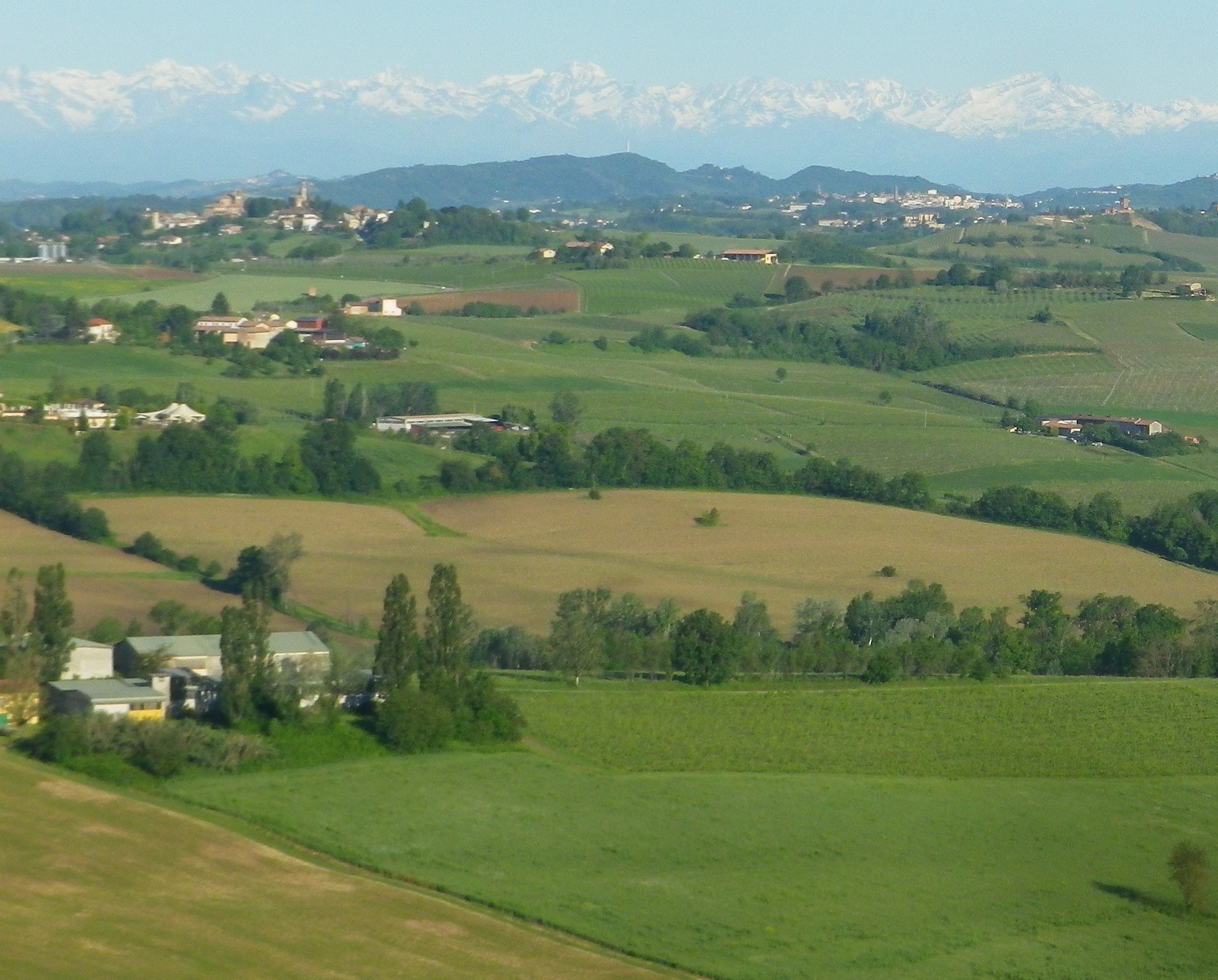
Monferrato: View from the Top of Vignale

It took a while, but I finally got there in late May of 2019. (Little did I know then that I would not return to Italy for a little over two years now.) But the wait then was worth it, as the experience of the village and the hike was fantastic. The food and wine were outstanding of course, this being the Piedmont.

Continue reading Vineyard Views from Vignale

Tra Valli e Cascine: Trail in a Nutshell


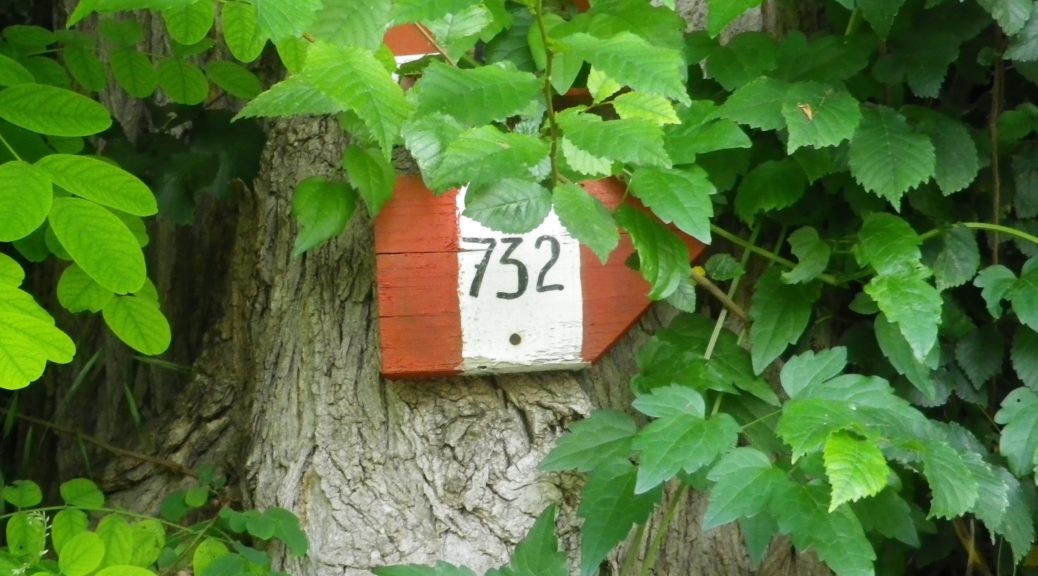
Trail Name:  Tra Valli e Cascine (AKA Sentiero 732)

Trail Type: short-distance hiking circuit; marking on the trail is fairly good, and consistent; once out of town, the trail surface is mostly gravel over hard packed earth, with a grassy stretch for about two kilometers/a bit over a mile.

Length:

Total – 9.7 kilometers/6 miles

Convenient to: Casale Monferrato, Alessandria, Piedmont, Italy

Marking:

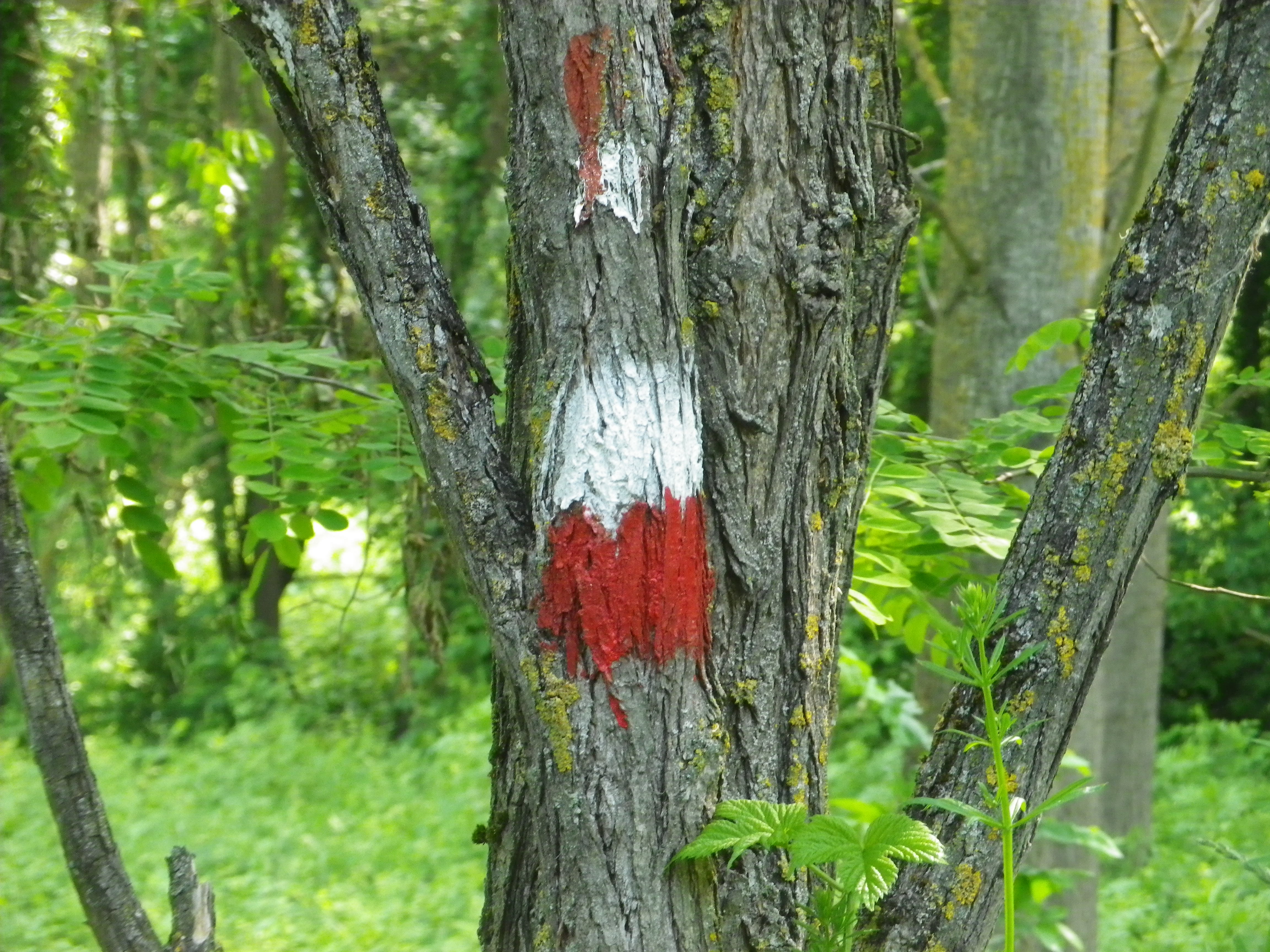
Trail signage: Vertical red-white-red bars imprinted with the number 732 in black; alternatively, trail markers are red and white horizontal bars.

Trail Signage photos: See featured photo above, and trail marking photo below:

Trail Marking

Continue reading Tra Valli e Cascine: Trail in a Nutshell