Category Archives: Hiking

Family Fun on the Rebenweg


When I read that this trail was “baby carriage accessible,” I had my doubts. In such a hilly area? All 8 miles of it? But from start to finish, it was accessible, for baby carriage, or walkers, or even motorized wheelchairs. The whole family could be out there enjoying this wonderful experience. Hence, I am inspired to get the word out on this trail.

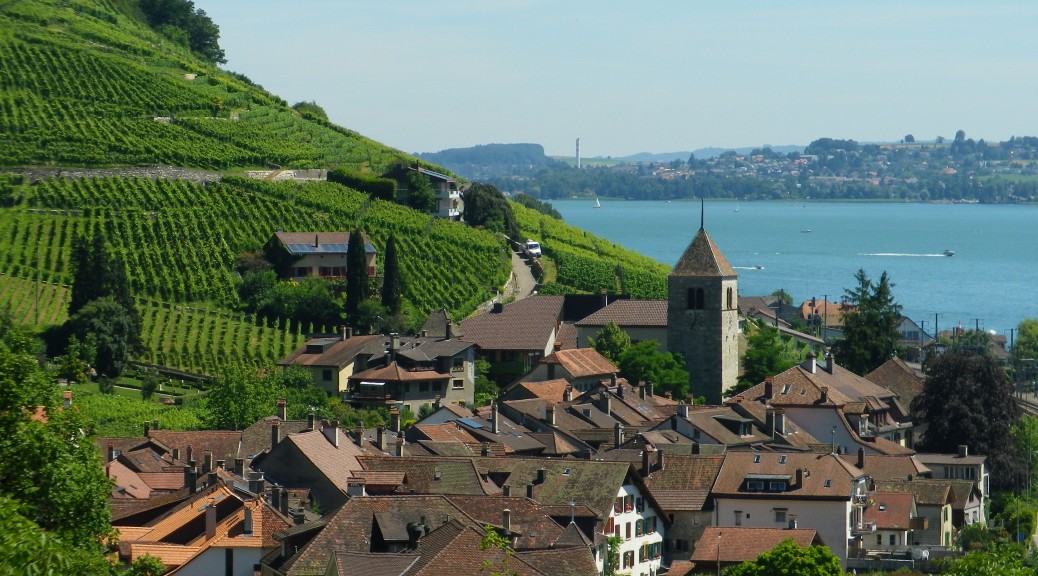
But the hills? Well, if walking up to the start from the Biel train station (which will add an extra couple of kilometers), that first hill is steep. But, if you take the bus to, or park at, the top of this first hill, you not only eliminate that challenge, but also begin with a beautiful view of Lake Biel down below. Thus inspired, the final 35 yards of slight incline to the starting marker is easy. Not only that, the start is along a lovely shaded path, which although not tarmacked, is smooth, hard-packed earthen surface. Subsequent inclines are quite gentle.
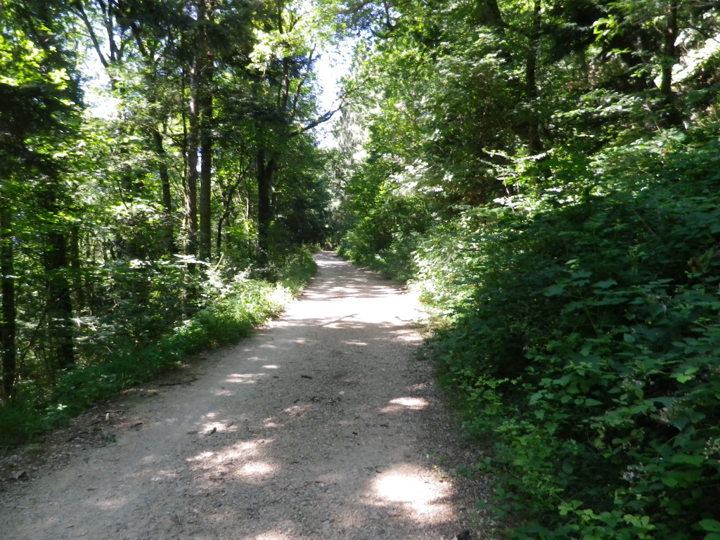
Trail through the Woods

  Continue reading Family Fun on the Rebenweg

Rebenweg: Trail in a Nutshell


Trail Name: Chemin du Vignoble (French); OR Rebenweg (German)

Trail Type: Mid-distance; almost exclusively paved, well maintained, and well-marked.

Length: Total: 12.9 kilometers/ 8 miles

Convenient to: Biel, Switzerland

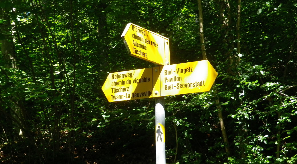
Marking: Marking is the name of the route itself (in German or French) at some intersections; otherwise a gold diamond (with or without a stylized figure of a hiker in black superimposed) indicate you are on a hiking trail. (See featured photograph above.)

Continue reading Rebenweg: Trail in a Nutshell

Rambling Along the Ramberge

Amboise is a delightful town in the Loire River valley. It is also the center of one of the smallest appellations in the area, the Appellation Touraine Amboise Controlee. I finally had a chance to visit!

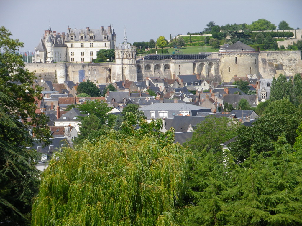
Amboise has a low-key, country town atmosphere. But there is nothing small about its attractions, which include a magnificent royal chateau, perched high above the river, a compact historical center, and the Clos de Luce, the final home of Leonardo Da Vinci. It is especially photogenic, set as it is along the impressively broad Loire, and against the backdrop of low green hills. Finally, there are the wines, notably the chilled Roses, especially appealing on warm summer days.

Chateau d'Amboise
Chateau d’Amboise


Continue reading Rambling Along the Ramberge

Entre Vignes et Ramberge: Trail in a Nutshell


Trail Name: Entre Vignes et Ramberge

Trail Type: Short distance circuit; almost exclusively paved, well maintained, and fairly well-marked marked.

Length: Total: 8 kilometers/5 miles

Convenient to: Amboise, France

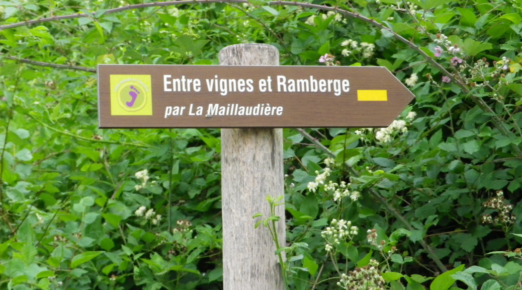
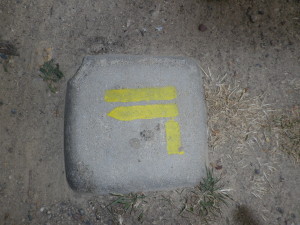
Marking: Wooden plaques identify the trailheads (See above); Yellow lines, straight or bent to indicate direction, below.

Trail Signage for Left Turn


Continue reading Entre Vignes et Ramberge: Trail in a Nutshell

A Ring Around Verdiso

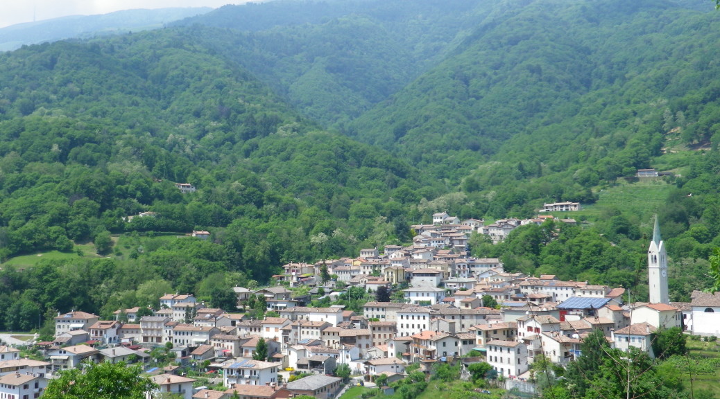
I love sparkling wine, so a trip to the land of Prosecco in northeastern Italy was perhaps inevitable. This circuit hike focused on a component of the mix that can constitute a Prosecco cuvee, the Verdiso grape. The village where it began and ended, Combai, is a real cheerleader for this varietal: having fought to gain IGT status for its wines made exclusively from this grape.

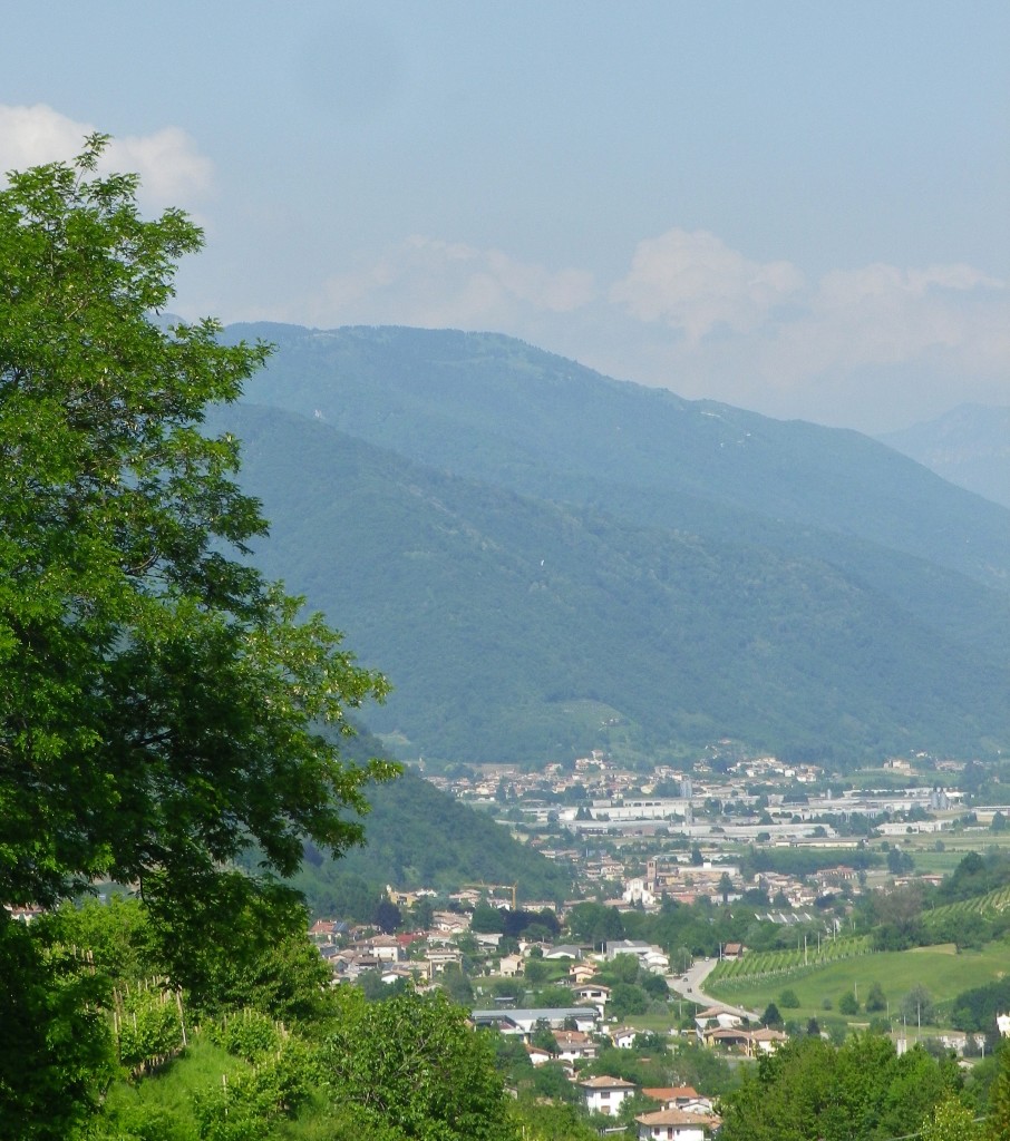
As I approached the village by car through the lovely uplands of the Veneto Region, I noted the extremely high hills Combai was located in. High hills mean great views, and this trail offered many. Even approaching the trailhead from the main square, the view down the valley toward the town of Miane was spectacular.

From Combai: Miane, Follina and Cison

Continue reading A Ring Around Verdiso

Anello del Verdiso: Trail in a Nutshell


Trail Name: Anello del Verdiso

Trail Type: Short distance; very diverse surfaces (asphalt, cart trail, dirt), somewhat maintained; the route itself is marked fairly well.

Length: total: 8 kilometers/5 miles

Convenient to: Valdobbiadene, Treviso Province, Veneto Region, Italy

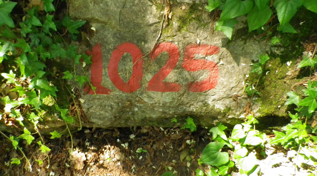
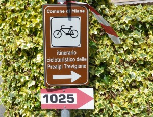
Marking: Signs bearing the number “1025”,  (or red and white horizontal bars)

Trail Signs: CAI 1025 and Itinerario Prealpi Trevigiane

Continue reading Anello del Verdiso: Trail in a Nutshell

Cote de Beaune – Up Close


I confess – I love this town unconditionally. I have been to Beaune at least five times, and always find something new to learn. Most recently, I came across a series of hiking circuits designed to explore the immediate surroundings of Beaune, namely, its famed vineyards and wines. Reason number 123,456,789 to return.

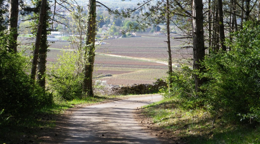
Conveniently starting at a park at the edge of town (easily accessible from hotels in the historic part of town), I began my hike – after sitting on a bench to savor the most delicious, buttery, almond croissant ever. Sharing the trail for a bit with runners, bikers soon joined in as the trail followed part of the Veloroute Voie des Vignes through the lower (and flatter) reaches of Beaune’s vineyards. They headed south, as I began the modest climb into the vine-covered hills above Beaune. I was not alone though. Not surprisingly many people were in the vineyards tending the vines in mid-April.

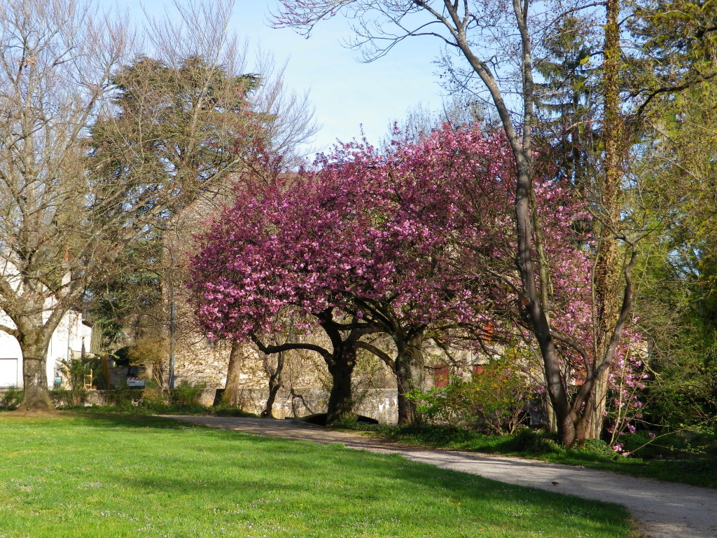
Colorful Trees in Spring

Continue reading Cote de Beaune – Up Close

Vineyards of Beaune: Trail in a Nutshell


Trail Name: Vignoble de Beaune Circuit Series, “Tout le Coteau” Circuit

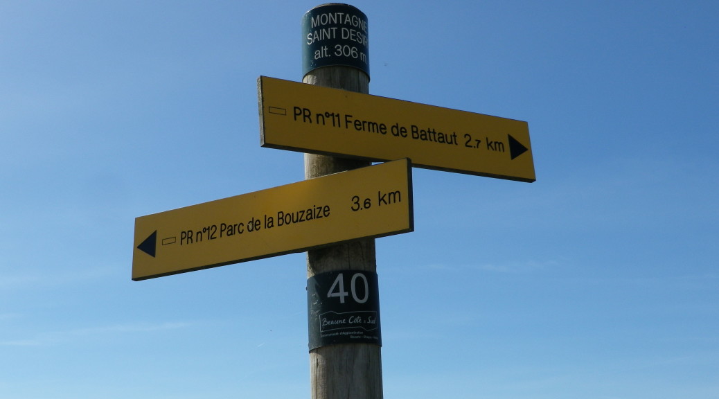
Trail Type: Mid-distance circuit; varied surfaces to include paved, dirt, stone, and grass, mostly well maintained. Note that the route itself is not marked with signs specific to this particular route, rather signposts indicate the way to the next itinerary point (identified below) this route shares with others.

Length: total: 12 kilometers/ 7.5 miles

Convenient to: Beaune, Burgundy, France

Marking: None specific to this particular circuit. (See above.) Rectangular yellow signs point to the next location on the trail itinerary, and a green band on top of the post indicates current location.

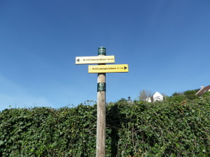
Typical Signpost
Typical Signpost

Continue reading Vineyards of Beaune: Trail in a Nutshell

Carnuntum Past and Present


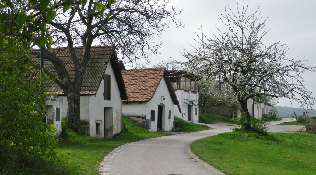
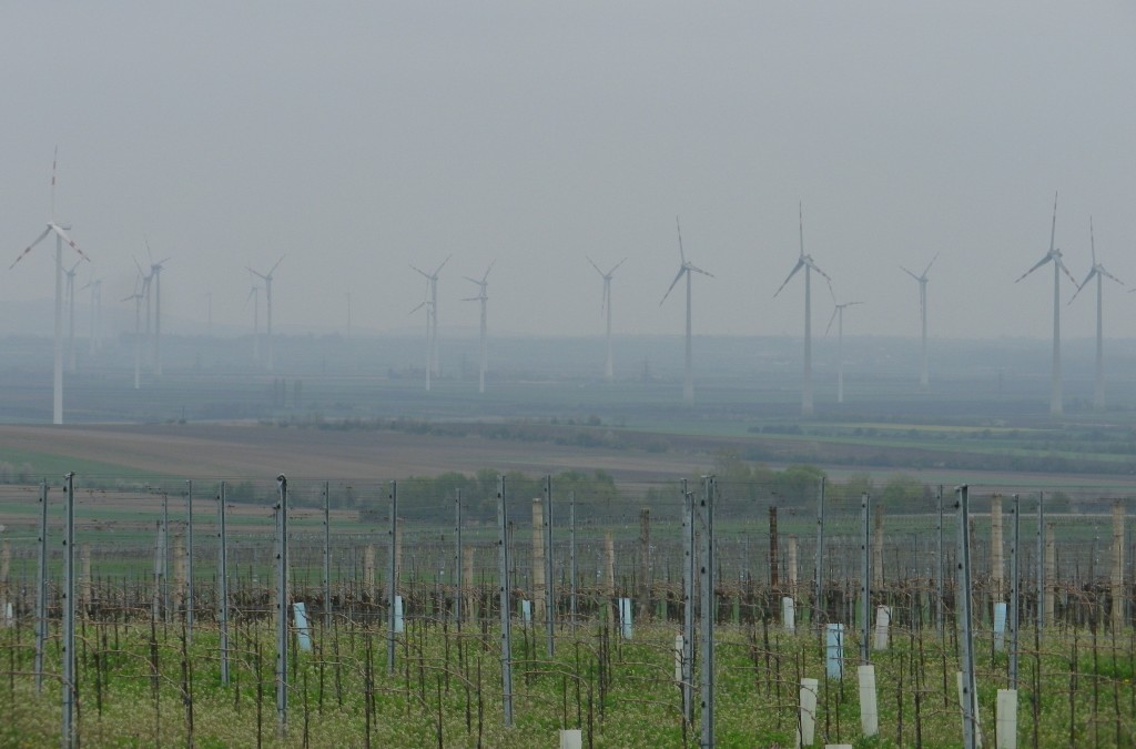
Farming, believed to have arisen about 13,000 years ago, started with grains and vegetables. Later, vines were cultivated, and wine produced, about 7,000 years ago. Nowadays in Austria’s Carnuntum region, wind is being harvested in the same fields that made Pannonia famous for its grains in earlier times. Fortunately, there are a lot of vines as well. And the local district tourism office has developed a series of hiking and biking routes to show-case them.

Harvests of Grapes, Grains and Wind

Continue reading Carnuntum Past and Present

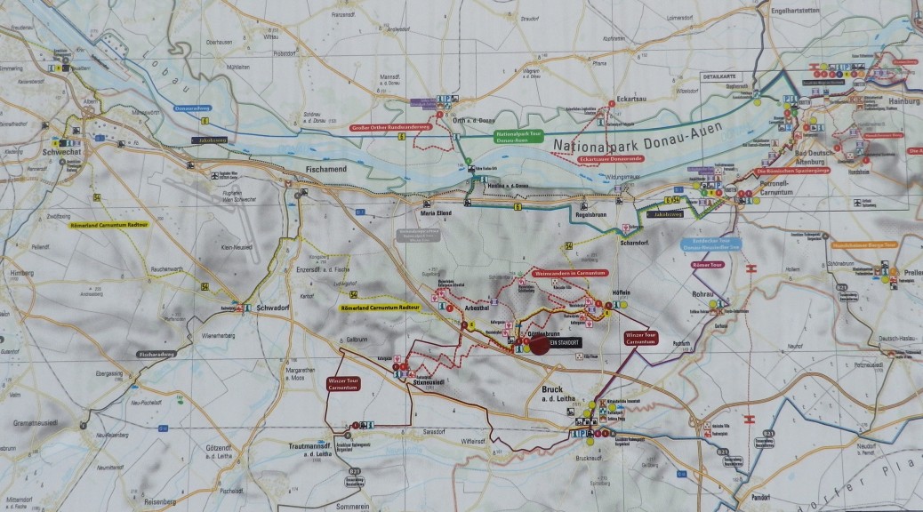
Weinwandern in Carnuntum: Trail in a Nutshell


Trail Name: Weinwandern in Carnuntum: Hoeflein Variante

Trail Type: An easy, family-friendly/carriage-friendly, short distance circuit, with well-maintained trail surfaces that are tarmacked or otherwise hardpacked, and with specific trail markings that are mostly easy to follow and are fairly well-updated.

Length: total: 9.7 kilometers/ 6 miles

Convenient to: Vienna, Austria

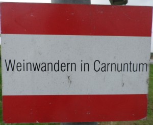
Marking: Rectangles with a horizontal white bar across the middle, flanked by similar red bars above and below it; bearing the words: Weinwandern in Carnuntum

Weinwandern in Carnuntum Signage

Continue reading Weinwandern in Carnuntum: Trail in a Nutshell