Category Archives: Hiking

A Cure with Wine and Romance


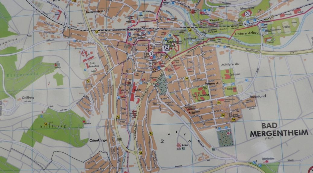
Feeling low on wine and romance? Then here is the cure: head to Bad Mergentheim. This delightful little spa town set in the valley of the Tauber, has water sources with the minerals that benefit the digestive system. Much as wine, in moderation, can do.

Small, and as remote (comparatively speaking) as it may be, chances are you have heard of it, or even driven through it. It is on the very first, and now the most famous, German car touring itinerary, the Romantic Road. This 200-plus mile itinerary stretches from the beautiful city to Wuerzburg, south to the Alps, passing through or by some of Germany’s most iconic attractions, quaintest villages, and spectacular scenery. The highlight in Bad Mergentheim is the imposing complex that once served as the headquarters of the Teutonic Order. (It now houses a museum detailing the history of the order, as well as local history.) It is here that the trail begins.
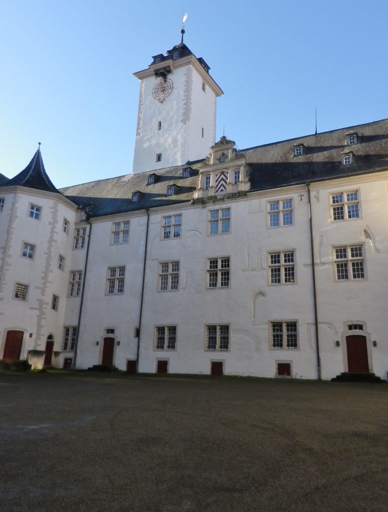
Deutscheordensmuseum

Continue reading A Cure with Wine and Romance

Kur und Wein: Trail in a Nutshell


Trail Name: Kur und Wein (Cure and Wine) – Rundwanderweg LT 17

Trail Type: Long distance circuit trail; variety of paved or hard-packed surfaces, to include stairs; well maintained, and fairly well-marked, once beyond Bismarckstrasse in Bad Mergentheim.

Length: Total: 16.25 kilometers/ 11 miles

Convenient to: Wuerzburg, Germany

Marking: LT 17 (and Panoramaweg in Bad Mergentheim)

Continue reading Kur und Wein: Trail in a Nutshell

Alpine Rhine Vines


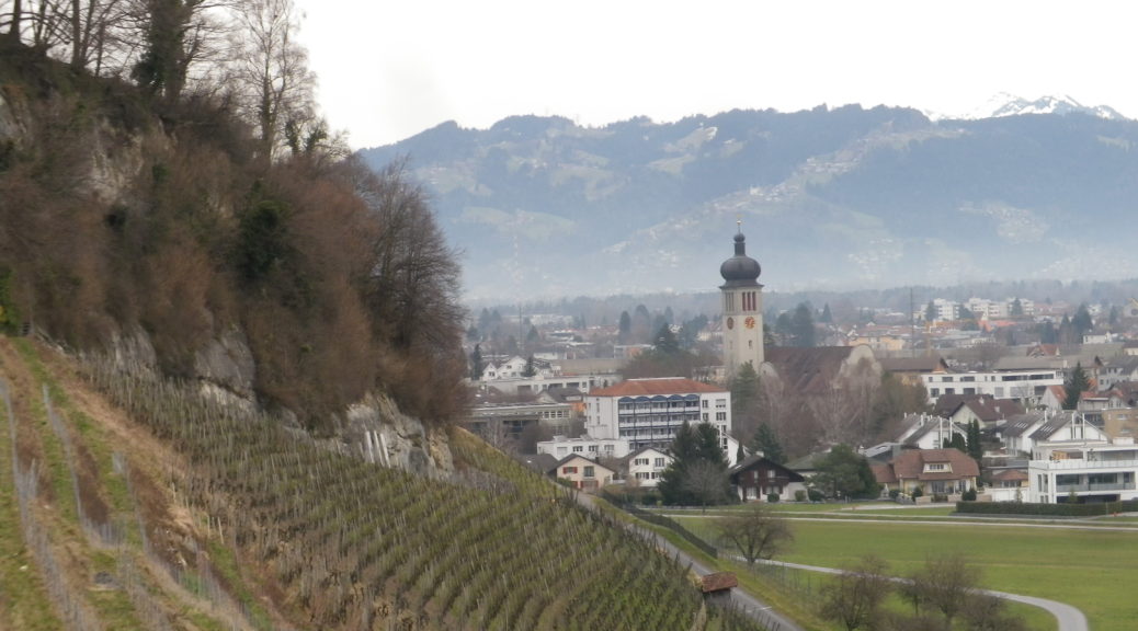
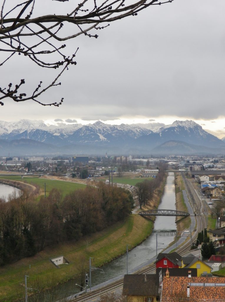
The Rhine River valley has vineyards on both sides along much of its length. In four countries, (five, if you include a mere 30 acres in the Vorarlberg region of Austria), vineyards cover select slopes of various geologies and topographies. Five sections of the Rhine have vines: The Alpine, the High, the Upper, the Middle and the Lower. The Alpine Rhine, from Reichenau to Lake Constance, mostly flows through a mostly wide valley lined by Alps on either side. The Graubunden Canton north of Chur, the tiny country of Liechtenstein, and the Sankt Gallen Canton, all have vineyards on the slopes facing onto this section of the Rhine. Since I had already visited some of those vineyards on a hike in the Graubunden Canton, (see here) I decided to visit the Sankt Gallen Canton to see some of their vineyards, and to learn about some of their wines.

The Rhine, and its Canal by Au

Continue reading Alpine Rhine Vines

Monsteiner Rebweg: Trail in a Nutshell


Trail Name: Monsteiner Rebweg

Trail Type: A short distance circuit; well-maintained, partly paved, with stairs in places, good marking on the trail.

Length:

Original – 4.8 kilometers/ miles

Extension – 6.4 kilometers/ miles

Convenient to: Bregenz, Austria

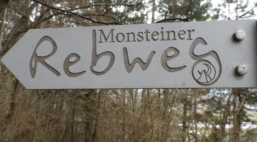
Marking: Signs with the words “Monsteiner Rebweg”. See the photo above.

Continue reading Monsteiner Rebweg: Trail in a Nutshell

Burgunderpfad: Trail in a Nutshell


Trail Name: Burgunderpfad

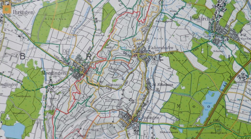
Trail Type: Long distance hiking trail; varied surfaces from grass to hardpacked dirt, to asphalt; well maintained, and mostly well-marked.

Length:

Total: 27.5 kilometers/ 17 miles

Segment (mine): Gottenheim to Munzingen: 17.5

Convenient to: Freiburg, Germany

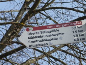
Marking: Purple grapes with light green terraces in profile, in a white circle, on a red stripe

Continue reading Burgunderpfad: Trail in a Nutshell

The Burgundies Path


When I think back on all the wine-themed hiking paths I have done, the Burgundy Path in southern Germany will always be one of my favorites. What is not to like about this trail through peaceful agricultural land, and laid-back villages, in Germany’s warmest, sunniest and driest area!

The Tuniberg is by the Kaiserstuhl, a unique geographical outcropping formed by volcanos. However, the Tuniberg, on the southern edge, is a giant bank of limestone, which extends roughly north-south for over a dozen miles. Its sometimes steep slopes stand higher than the Rhine River valley lands around it. This affords great sun and wind exposure, which combined with a goodly amount of sun for an area this far north, and limestone soils, makes it the “Burgundy Oasis” in Baden.

Kaiserstuhl

Continue reading The Burgundies Path

Climbing the Moselle Terraces


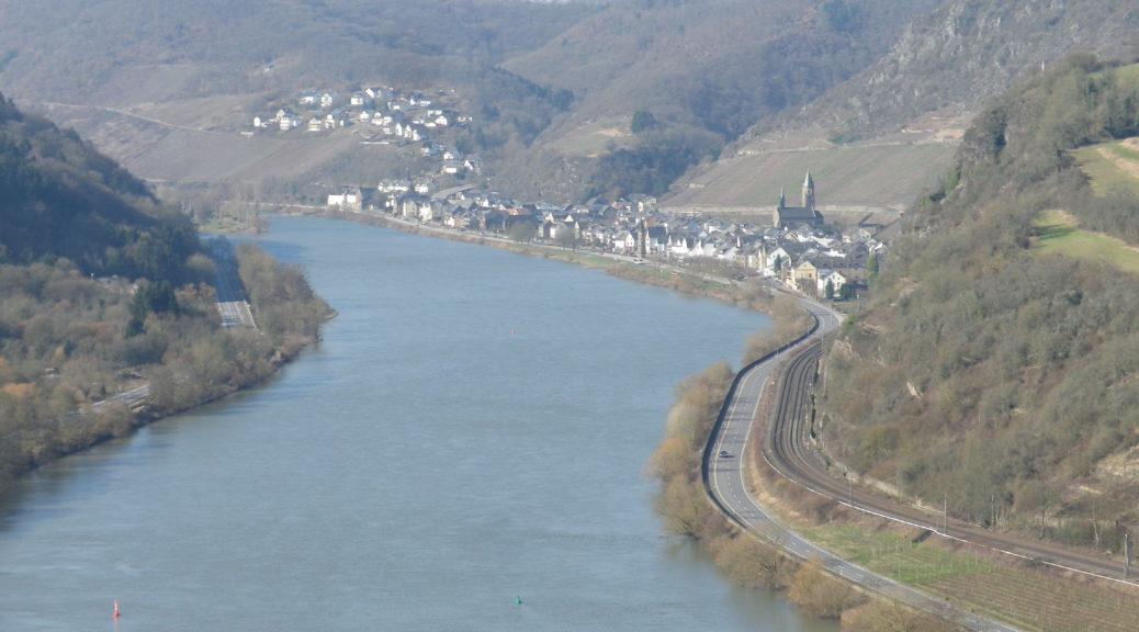
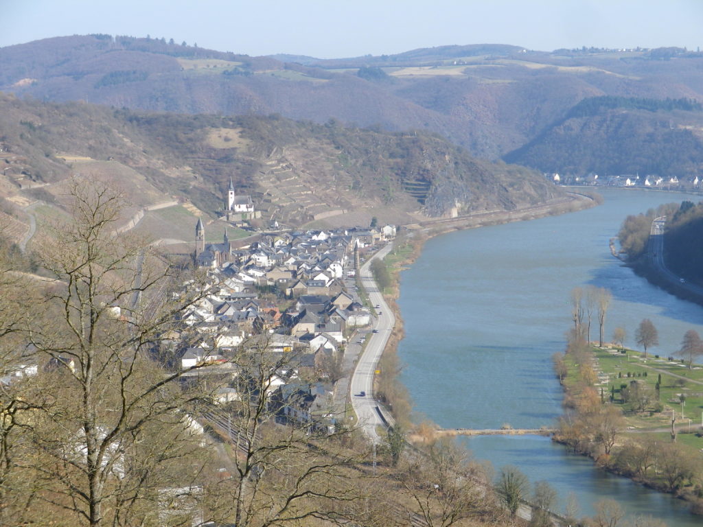
The Weinwetterweg circuit, if nothing else, promotes a new appreciation for viticultural workers on the Moselle. The “Terraced Moselle” is the name of wine district where the lower length of the Moselle starts, and serious terraces begin. This end of the Moselle twists and turns through the slate cliffs and outcroppings that line its sides. As it approaches the junction with the Rhine at Coblenz, the seemingly impossible-to-sustain vineyards appear between narrow river frontage, and high rocky promontories. This is the most spectacular part of the Moselle, and is well worth both a visit and a hike.

Hatzenport and the Rabenlay

Continue reading Climbing the Moselle Terraces

WeinWetterWeg: Trail in a Nutshell


Trail Name: Hatzenport WeinWetterWeg

Trail Type: Mid-distance circuit; well-maintained, varied trail surfaces from rock, to scree, to grass and tarmac; excellent signage along the trail.

Length:

Total – 12 kilometers/ 7.5 miles

Convenient to: Coblenz, Cochem, Germany

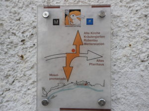
Marking: A white rabbit and grapes, with directional arrow diagrams

WeinWetterWeg Signage

Continue reading WeinWetterWeg: Trail in a Nutshell

Dragon’s Blood Wine


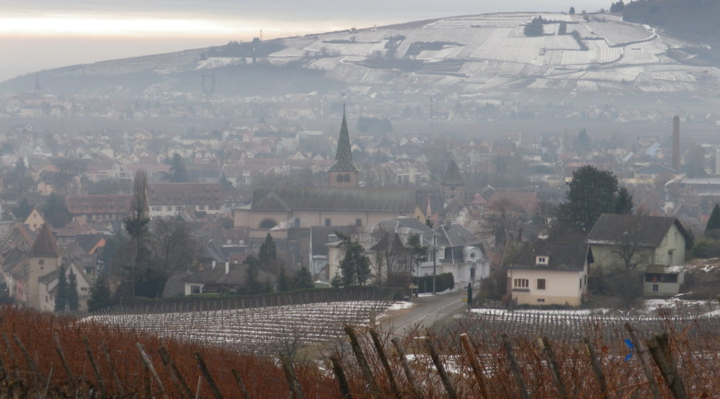
Now encircled by stout walls, in the distant past the lands of Turckheim once faced a threat from a fierce foe – a dragon. Ultimately vanquished, the dragon’s blood spilled on the side of a hill, where its warmth and power rendered that soil very fruitful. Thus, both the town and its legend nowadays serve its tourism as well as its wine industry.

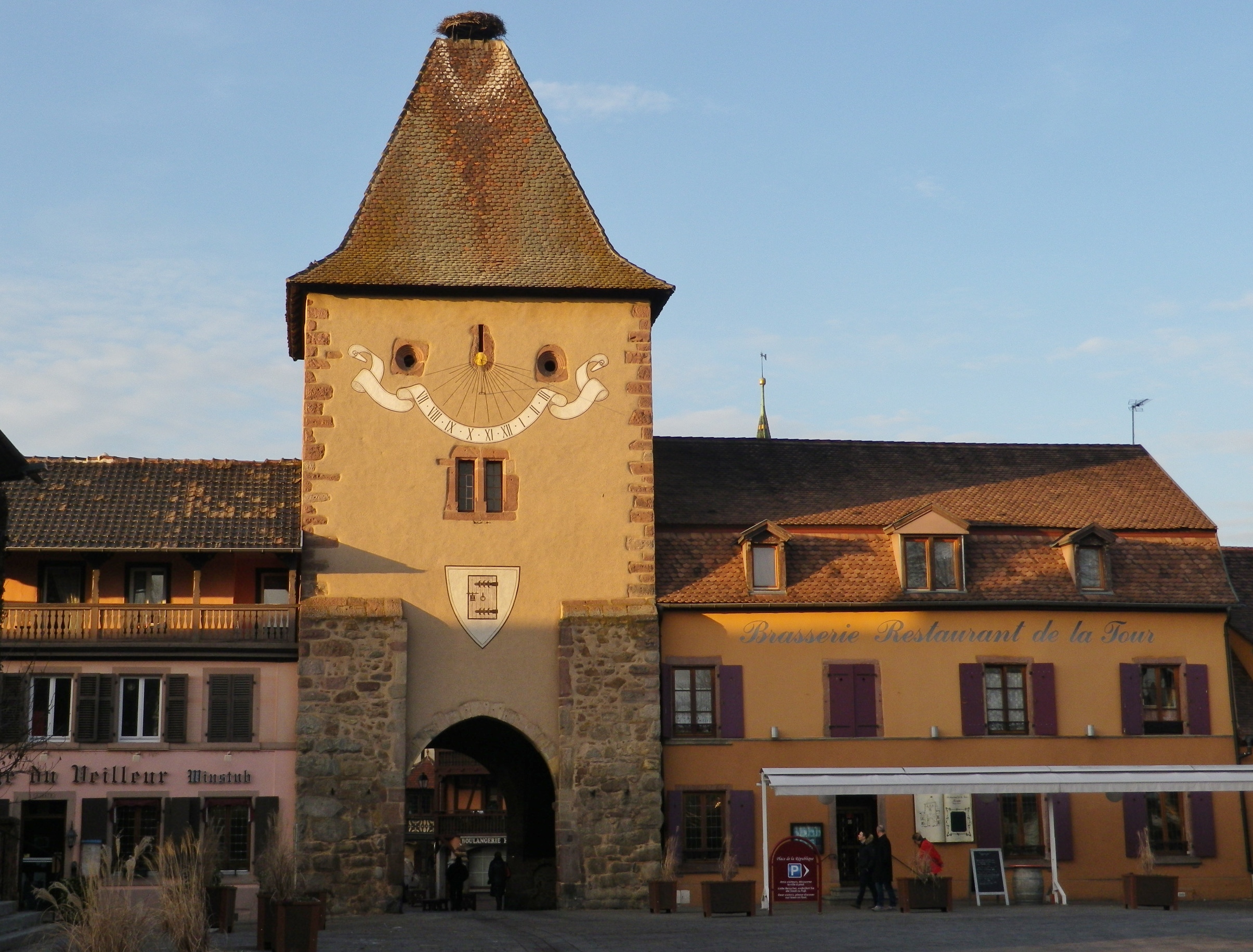
Turckheim is a compact town, running along the bank of a small river. Its walls back against the very hillside that has brought it fame in the wine world: The Brand. Rugged, covered in vines and topped by pines, it is very picturesque; as is the old town center, with its walls, gate towers and half-timbered houses. Fortunately, a hike dedicated to the town’s wines from its most famous cru, is available as well.

Porte de France, Turckheim

Continue reading Dragon’s Blood Wine

Turckheim et Le Brand: Trail in a Nutshell


Trail Name: Turckheim et Le Brand

Trail Type: Short distance circuit; almost exclusively paved or hard packed surface, well maintained, but the route itself is not specifically marked for this trail.

Length: Total: @5 kilometers/ 3 miles

Convenient to: Colmar, France

Marking:

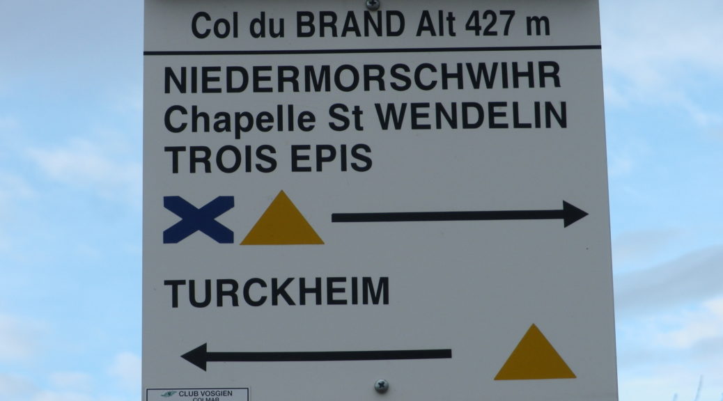
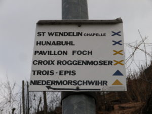
Turckheim to Niedermorschwihr: Blue X

Niedermorschwihr to Turckheim: Yellow triangle

Trail Markings in Turckheim

Continue reading Turckheim et Le Brand: Trail in a Nutshell