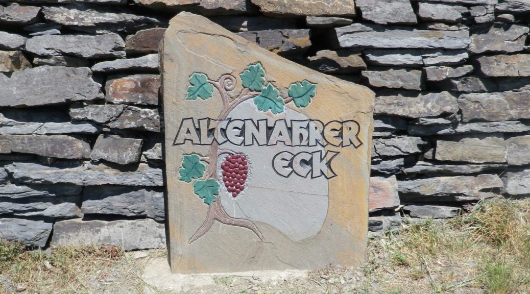
Category Archives: Germany

Wein und Obst Tour: Trail in a Nutshell


Trail Name: Wein und Obst Tour (Wine and Fruit Tour)

Trail Type: Medium distance cycling circuit; much of it paved, well maintained in all but a couple of very small sections, good trail signage along most of the way.

Length: Total: 25.5 kilometers/16 miles

Convenient to: Ludwigsburg, or Heilbronn, Germany

Marking: Blue lettering “Wein und Obst Tour”

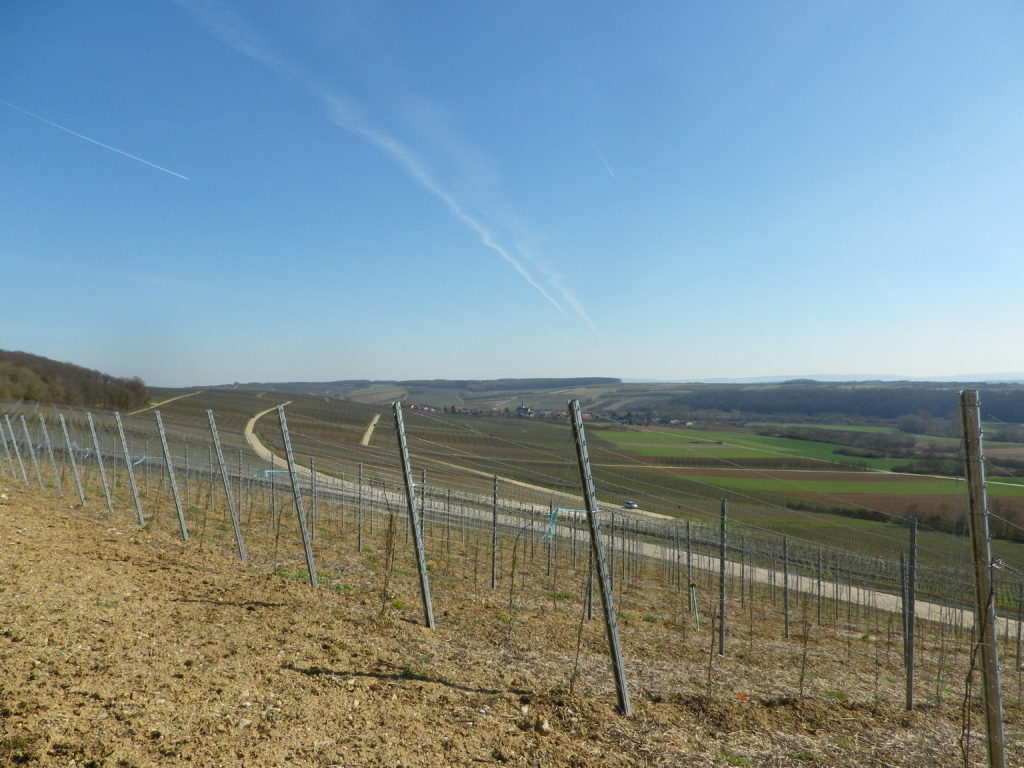
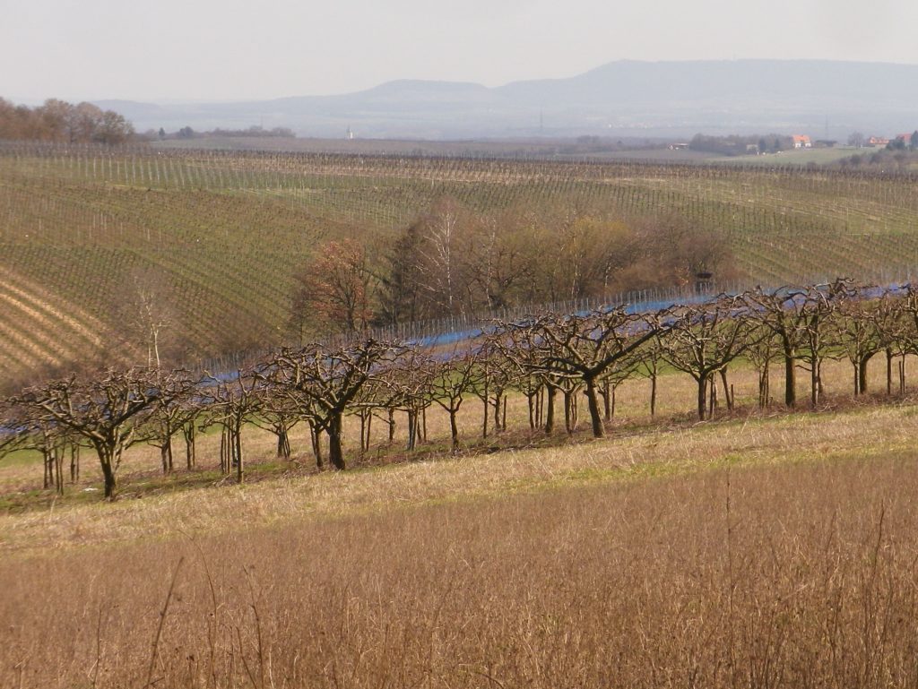
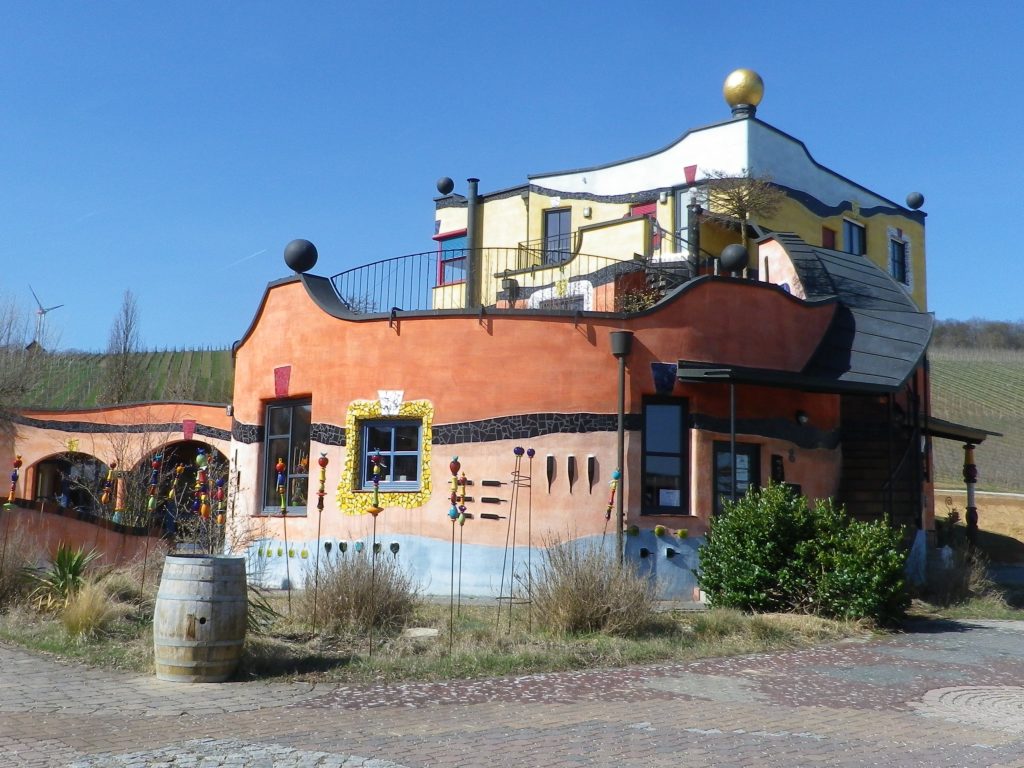
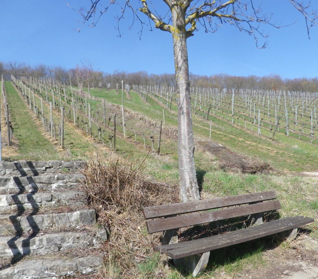
Trail Description: A well laid-out cycling itinerary up and away from the Neckar River, while mostly on dedicated bike paths (or farming access lanes) through a variety of agricultural landscapes, as well as towns and villages. While not difficult, there are some hills, and a couple of long, unshaded stretches of trail, as well as the schnapps to watch out for!

Trailhead:

Official: Walheim: Intersection of Besigheimerstrasse and Hauptstrasse

Mine:  Kirchheim am Neckar: Hohensteinerstr (by the sports fields)

Parking:

Kirchheim am Neckar: Ludwig-Jahn-Str x Brunnenstr (Gemeindehalle) (Check for hours) or Ludwig-Jahn-Str x Hohensteinerstr (Sports field)

Erligheim: Schulstr (sports field)

Public Transportation Options:

Bus: Some towns are served by the Stuttgart RegioBus line, with regular service to Loechgau or Kirchheim am Neckar.

Rail: DeutscheBahn regional trains (Stuttgart to Heilbronn and vice versus) serve both Kirchheim and Walheim with several convenient options every day.

Suggested Stages:  Not applicable

Trail Itinerary-Reference Points:

Walheim: Haupstr-Heilbronnerstr, path along west side, then a specific crossing point to east side of tracks; follow along the river; Kirchheim am Neckar: Am Neckar, underpass, Hauptstr-Rathausstr, Bachmuehlweg-Talstr-path through fields; Hohenstein: Feldbrueckenstr-Kirchwiesenstr-Muehlstr-Mittlerestr, path to Hoffen: Neubergstr-Gutenbergstr, Sonnenhalde; Erligheim: Schulstr-Friedhofstr-Hauptstr-Talstr, Kuhaeckerstr, path (past Ferienwohnung am Weinberg, Habertsaustr (path), through woods; Freudental: Wolfsbergweg, Seestr, Kirchstr, Bietigheimerstr, path to Loechgau: Friedhofstr-Mauerstr-Grabenstr, Nonnengasse-Hauptstr, past the church, Neuestr-Kelterstr; fields and orchard paths past Baumbachhof, path along Baumbach creek; Walheim: Im der Eichhalde-Weinstr, Im Haiglen-Karlstr, rail underpass

Representative Trail Photos:
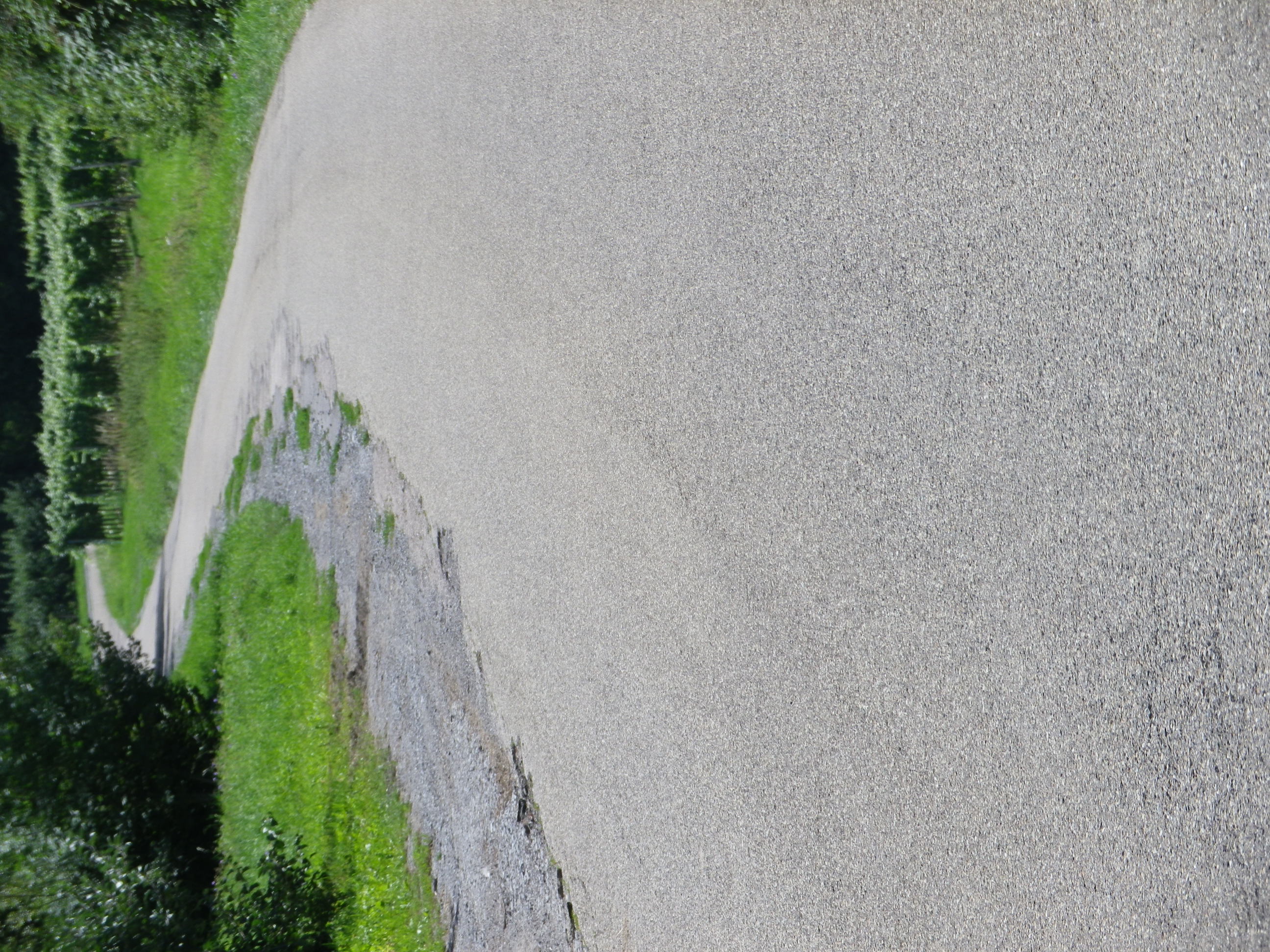
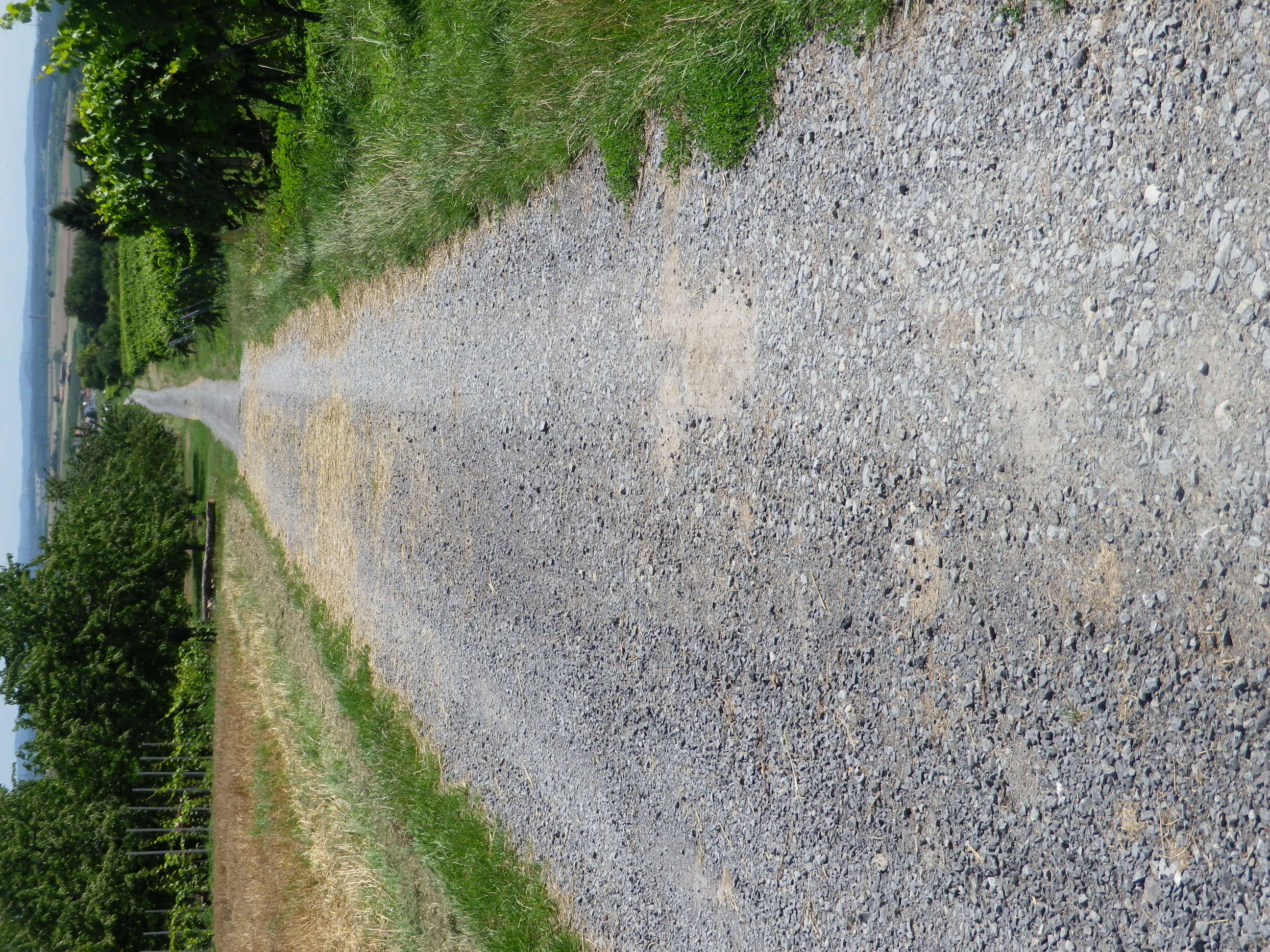
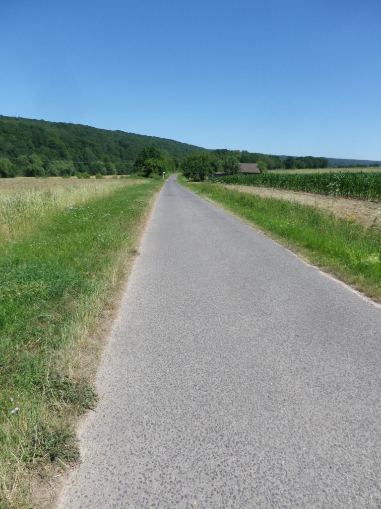
Representative Paved Trail Section


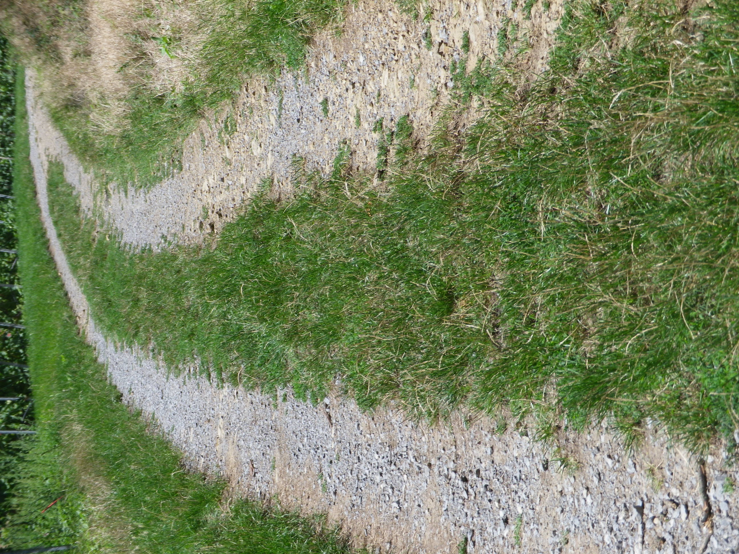
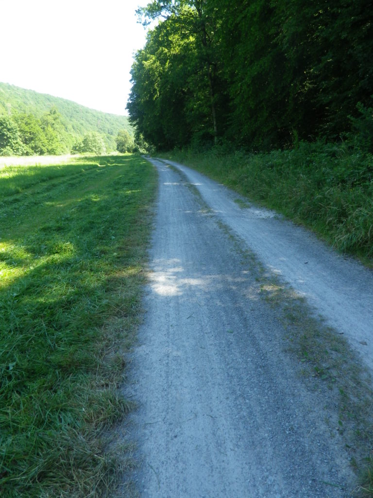
Sample of Unpaved Trail Section


Small Section of Unimproved trail


Restrooms:

None observed!

Attractions on or near Trail:

Museum in der Stiftsscheuer, in nearby Mundelsheim, provides information about local viticulture, as well as other topics.

Several viewing areas are set up throughout the region to provide great scenic panoramas over the vines, and distant countryside, the closest to the trail being the Schoenste Weinsicht Besigheim, in Walheim.

While not wine related, the Schnaps Museum in Boennigheim, displays information about the alcoholic fruit beverage of schnapps.

Tasting along the Trail:

The WG Strombg Zabergau regional winery has an outlet in Boennigheim, and is a good place to obtain bottles of some of the regionally renowned named vineyard parcels such as Kirch-, Sonnen-, Lerchen- berg. While Erligheim has several individual family wineries such as Weinbau Reichert; Weingut Baehr; Weingut Schifferer and Weingut Mayer.

Alternative Options:

Hiking: From nearby Besigheim, hikers may choose one of a couple of half-day circuits developed by the Felsengartenkellerei (a local winery), with downloadable maps at https://www.felsengartenkellerei.de/credo.html . See a Nutshell of one of them here.

Biking:

The 96.4 kilometers (64 miles) Wuerttemberger Weinradweg Variante Stromberg im HeilbronnerLand circuit tour is a much longer, and more challenging tour through the towns and nature park area of Stromberg-Heuchelberg.

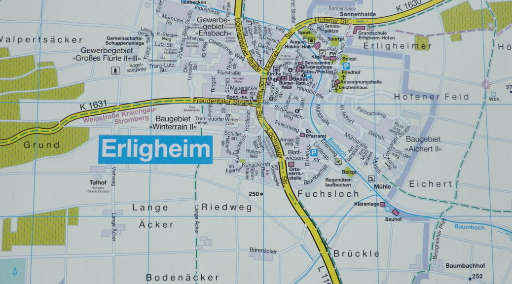
The 29 kilometer Land-Wein tour is a circuit tour beginning just south of Walheim in the picturesque town of Besigheim, follwong along and crossing the Neckar River a couple of times. It shares some of the Wein und Obst Tour itinerary in the flatter areas. (See the Marking photo above.)

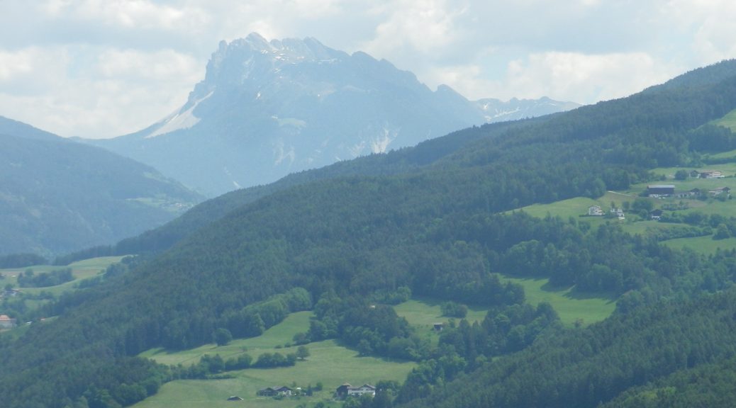
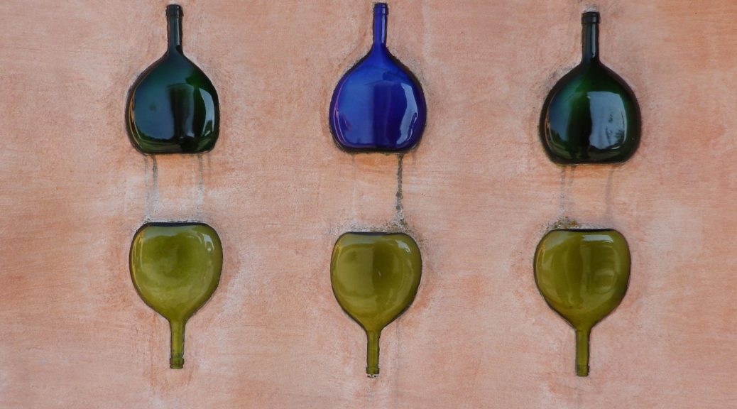
Car: The Wuerttembergische Weinstrasse car touring itinerary covers this territory, and more. The shorter Kraichgau-Stromberg Weinstrasse car touring itinerary covers a smaller district, heading primarily west from Erligheim. See featured photo above.

Additional Information:

Regional: https://www.3b-tourismus.de/  (The 3B stands for the three regional centers of Boennigheim, Besigheim and Bietigheim-Bissingen.)

Trail (segment) specific:

https://www.tourismus-bw.de/Media/Touren/Kraichgau-Stromberg-Wein-Obst-Tour

Comments:

A pleasant, half-day excursion, if you find yourself in the Stuttgart region and want to experience unspoilt Swabian countryside!
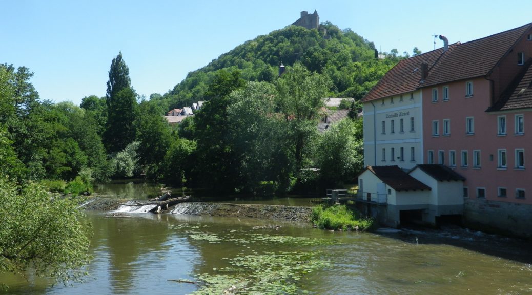
 

Franconian Interlude


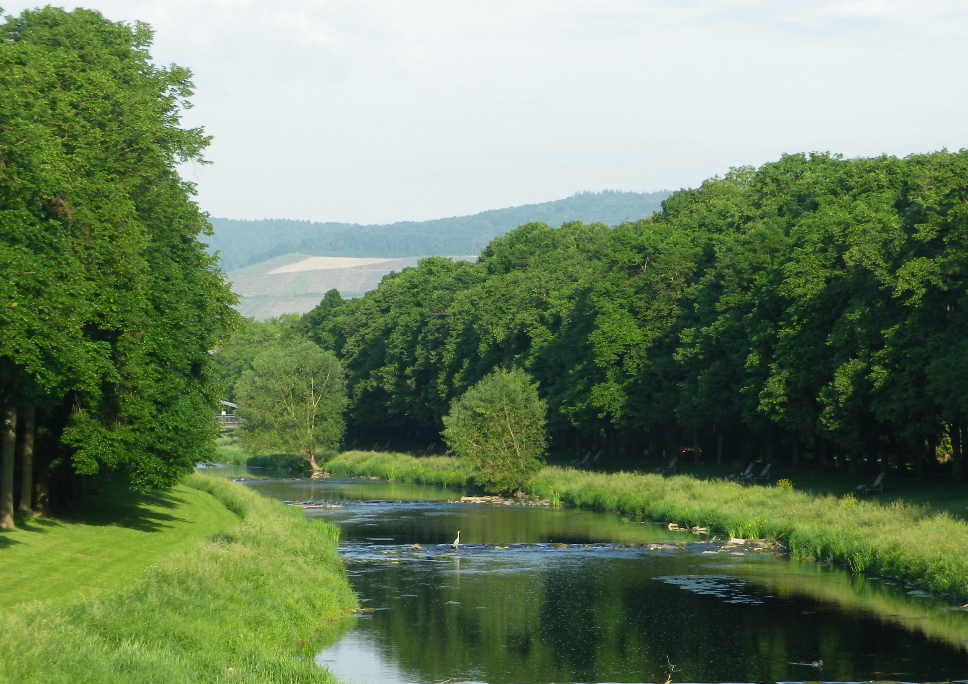
The Fraenkische Saale, a river flowing from near the Bavaria-Thüringen border to the Main River by Gemuenden am Main, is a jewel. Its quiet, gently flowing waters, offer low-key activities for families and friends along its shores, and on its waters, from hiking and biking to canoeing and rafting. This is an area famed for rest and relaxation, and there are several well-known spa towns along the river. From Bad Koenigshofen near its headwaters to Bad Neustadt, Bad Bocklet and Bad Kissingen, all are on the Fraenkische Saale as it heads to the Main. While the Main River is extremely well-known for its vineyards and wine, the Fraenkische Saale, connecting the wine districts of the Maindreieck and the Mainviereck, doesn’t do too badly either in that regard.

Fraenkische Saale: From the Trail


Part of the attraction for me was the opportunity to cycle along yet another river bicycle trail. Germany seems to excel in developing these trails, and the Fraenkische Saale Radweg (Bike Trail) was just another example of excellence in riverside cycling trails. The other part of the attraction for me was the chance to explore the terroir and the wines in relatively unknown wine corner of Franconia.

Euerdorf: Bridging the River


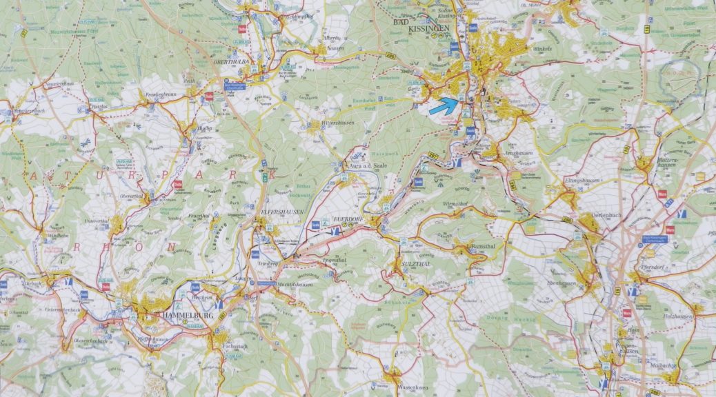
The Fraenkische Saale Radweg is about 125 kilometers, but the vineyards, Franconia’s and by extension Bavaria’s, concentrate in a short 28-kilometer-long stretch of the river and its side valleys. This made exploring them relatively easy work on a weekend. Hence, I decided to begin at Bad Kissingen, the northern and eastern-most point of my ride, one fine morning.

Bad Kissingen: Riverside Trails


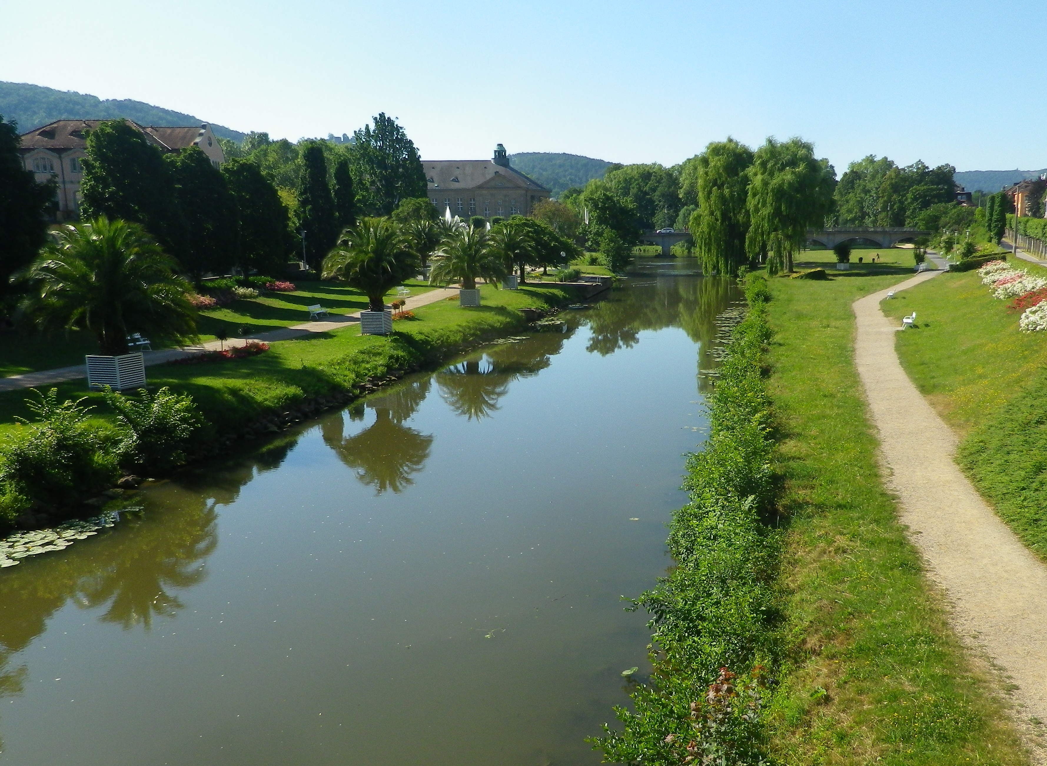
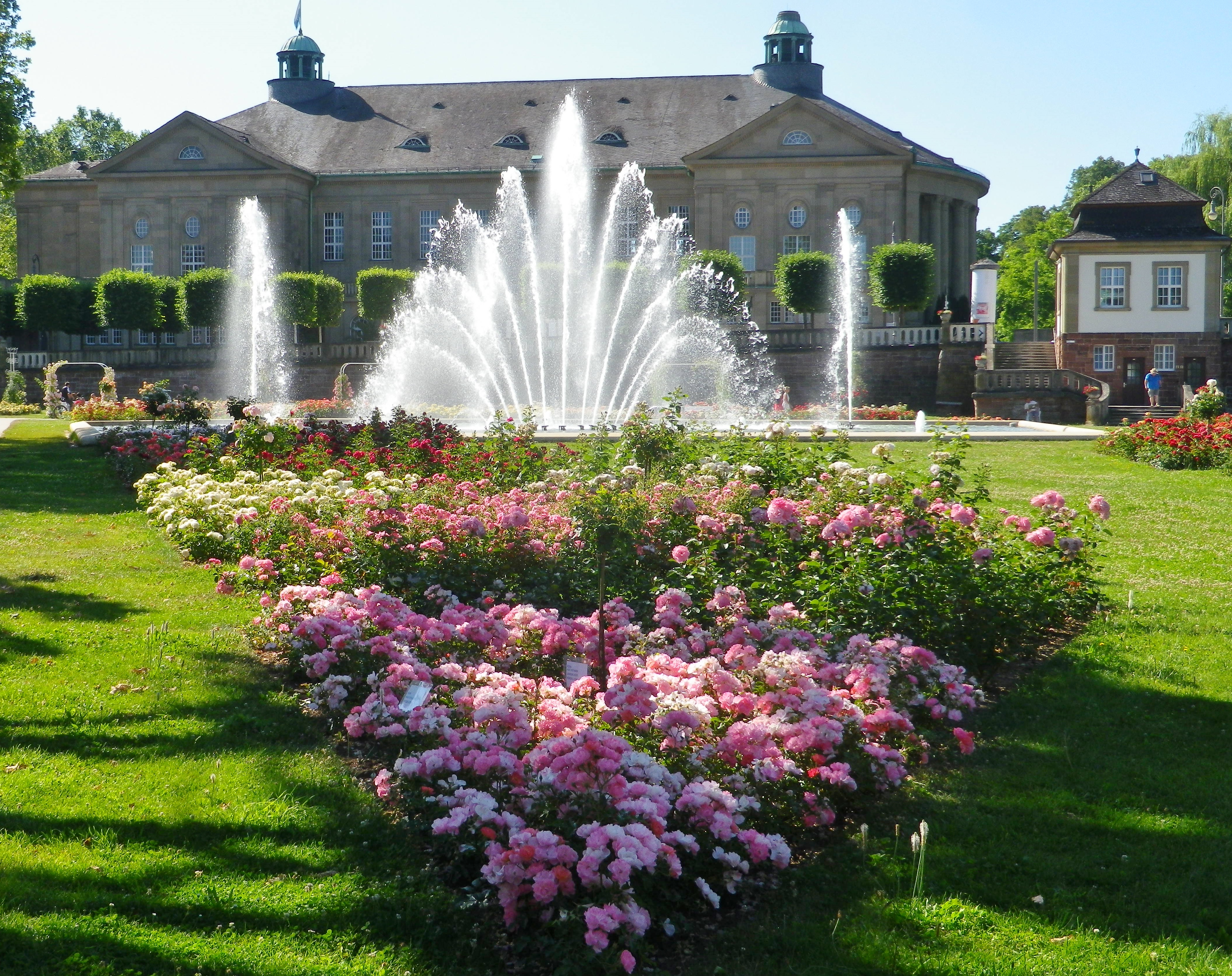
As a spa town, Bad Kissingen has a great variety of dining and lodging options to choose from. In addition, it is a lovely small town, with stately green spaces filled with  curving paths along the river. The buildings are classic “German spa” and there is almost always something to attend, be it art exhibits, local festivals, or open-air concerts. I found it an excellent town to stage from, especially as the trail wove through its classic parks and gardens as it passed through town.

Bad Kissingen: Public Gardens


Once out of town, the trail led for a few kilometers through woods, then along fields bordering the river to Euerdorf. It proved a quiet interlude, with just nature for company. South of the Euerdorf the vineyards of Ramsthal begin.

Ramsthal Vineyards


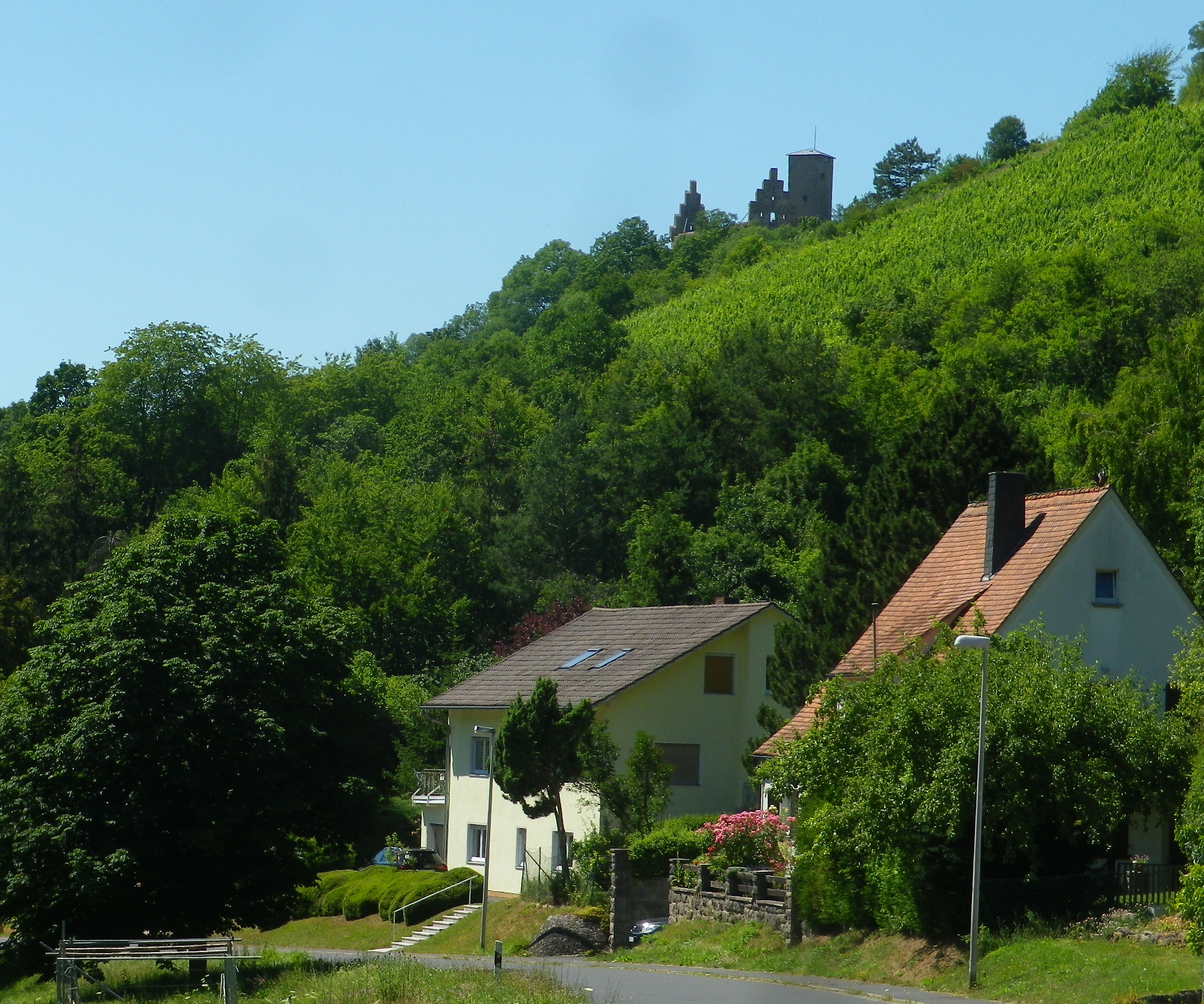
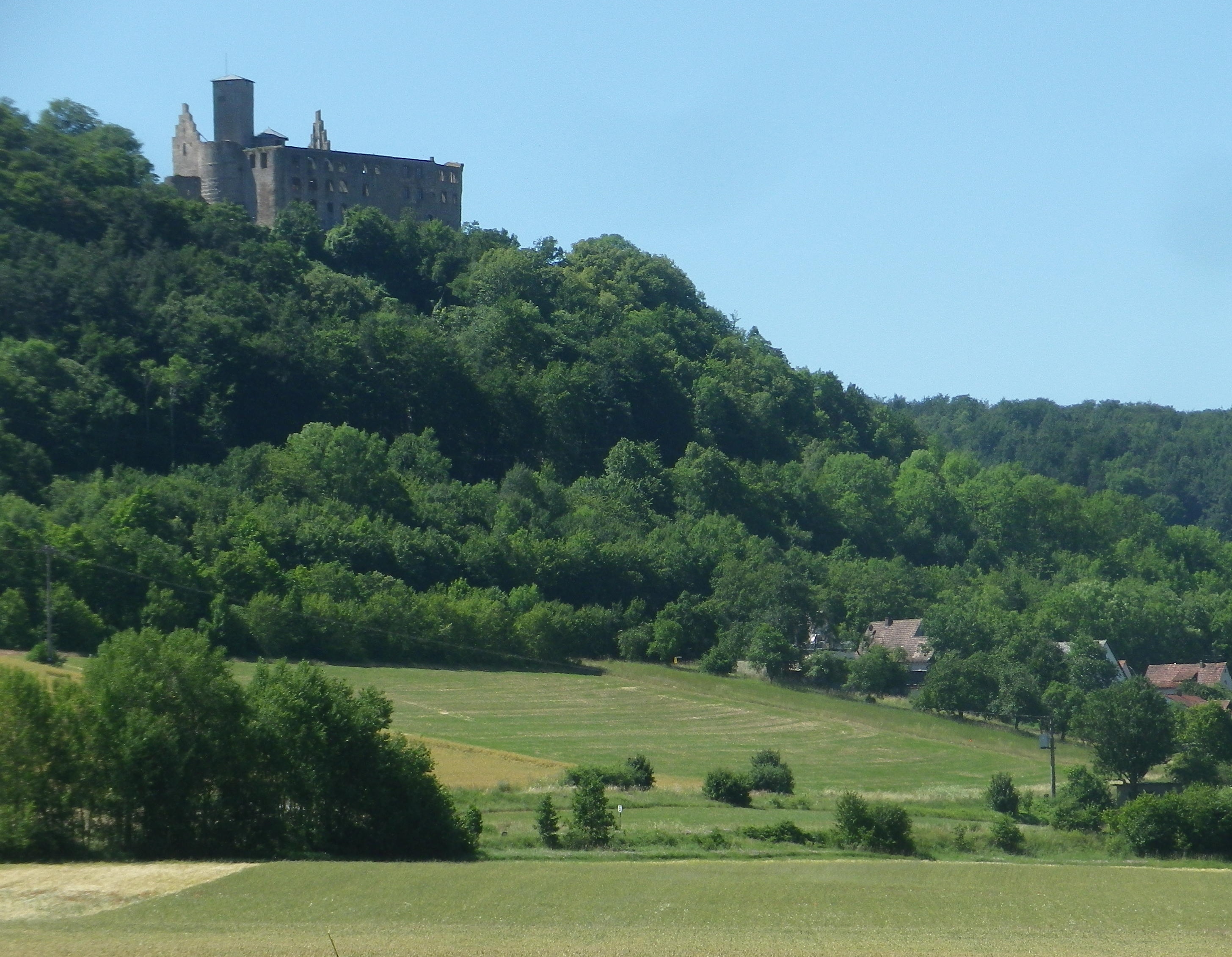
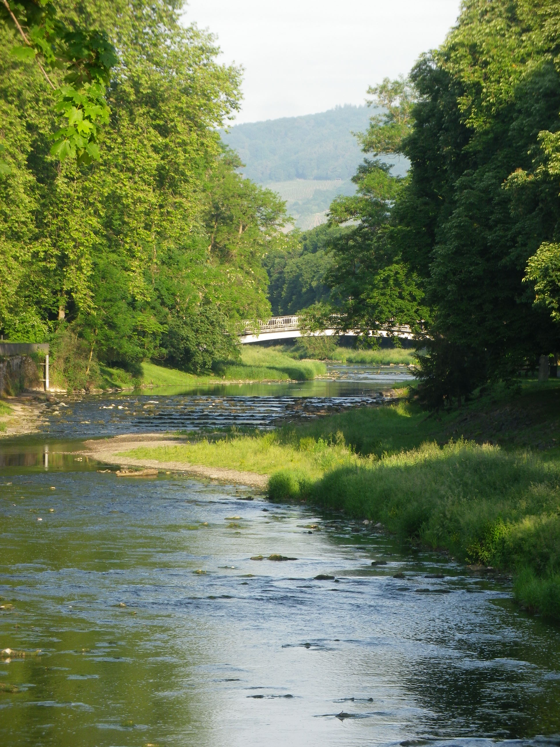
The river really does twist and turn. At Trimberg, there are more vineyards, and a castle ruin came into view. Here I crossed the river first time since leaving Bad Kissingen. But henceforth, the trail was constantly crossing the Fraenkische Saale on a series of well-maintained bridges, providing plenty of opportunities to photograph the picturesque little river. While this left me without a clear sense of where I was after so many river crossings, I was never lost, as the trail was so well marked.

Trimberg Castle


Before I knew it, I rode into Hammelburg, center for viticulture in this area. This town has a history of wine making which goes back centuries, in part due to the old abbeys. The vineyards on the hills loom over the town to the north. To the west lie the final vineyards of this wine-producing area of northern Franconia. They are in the hills above the city districts of Obereschenbach and Untereschenbach , my end destination, which was between the two sets of vineyards. While they are overseen by another picturesque castle ruin, they are not overlooked by lovers of Franconian wine!
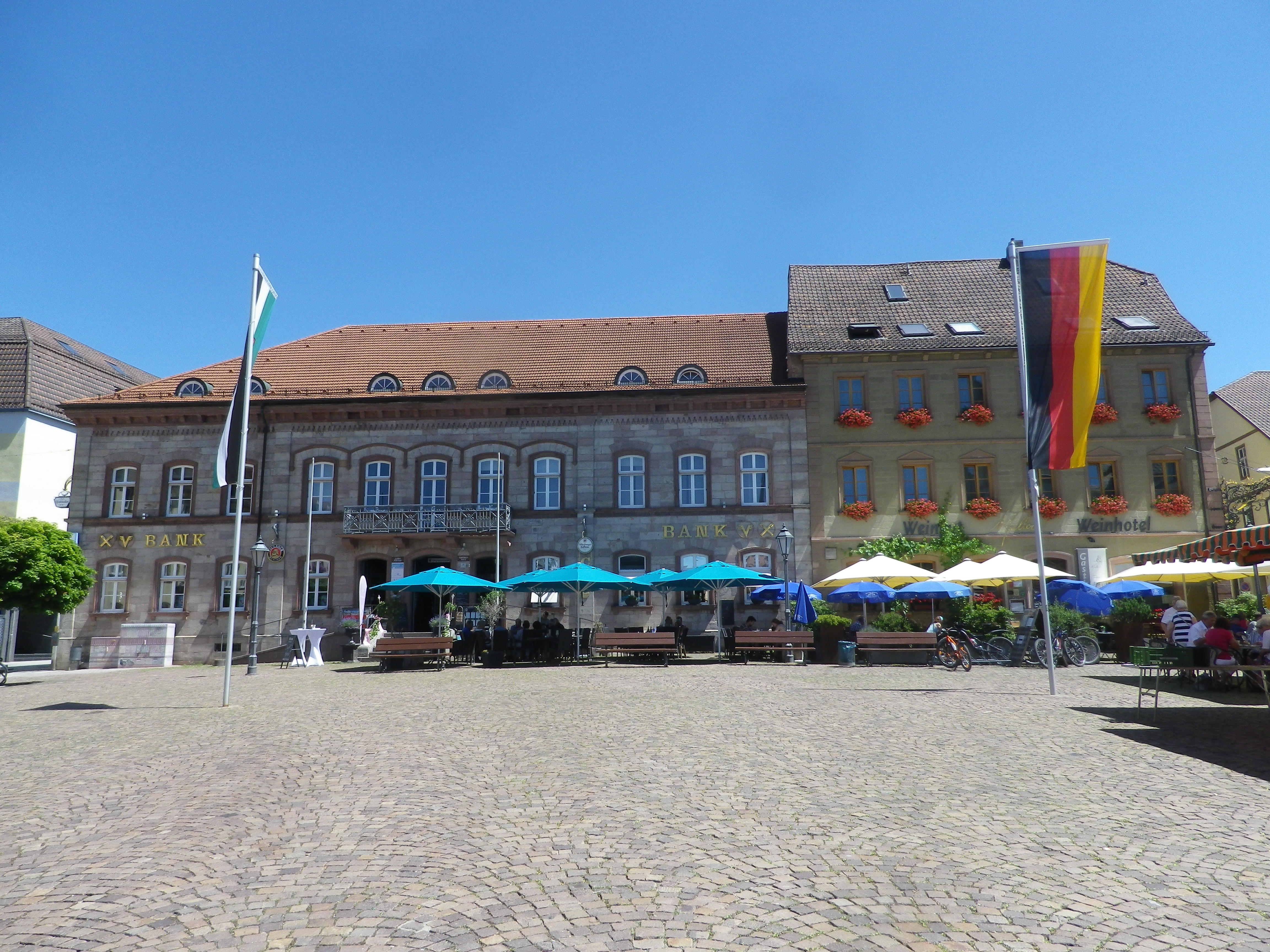
Hammelburg: Marktplatz

 Wine Notes: Franconian Saale


What I Learned

The Maindreieck is a triangle of land surrounded on three sides by the Main River. The Main is a tributary to the Rhine. The river makes three dramatic curves close to the heart of Franconia, forming this “peninsula,” this triangle of land surrounded by the river as a paragon of viticulture in south central Germany.

While the riverine wine towns and villages form the most well-defined area of the Maindreieck wine district, i.e., Wuerzburg, Randersacker, Sommerhausen, Volkach, there are two lesser known wine-producing areas in this district. Both of them follow along valleys with smaller rivers, the Wern and the Fraenkische Saale. These two are tributaries entering the Main River at Schweinfurt and Gmuenden am Main respectively.

Bavaria’s northern most vineyards lie along the Fraenkische Saale – a river flowing from close to the Bavaria – Thuringen border to the Main by Gemuenden am Main. In wine speak, that would be from the Maindreieck border to the Mainviereck border in the Franconian Wine Region.

The wines produced along the Fraenkische Saale and its tributaries are the northern-most wine-producing area in Franconian Bavaria. The town of Hammelburg is known as Franconia’s oldest wine town. In 777, Charlemagne, who held a small fortress settlement on this site, donated the site and its lands to the Abbey of Fulda, some 40 miles north. Wine production for the abbey, founded about 30 years earlier, used the south facing, limestone-based slopes, overlooking the Fraenkische Saale, to grow grapes for wine. Over time, grapes also grew in neighboring settlements, and up side valleys. The Abbey built a cellar-palace, which the abbot used as a summer residence. At its height in the 18th century, the cellar stored almost three-quarters of a million liters of wine. Today the complex belongs to the major Franconian cooperative GWF. However, there are also a dozen or so independent wineries. Overall, about 70 local farmers/viticulturists grow grapes for local wine production.

The major Franconian grape varietals grow in this sub-district. Not surprisingly, they are the hardy, cold-resistant varietals. listed below.

Silvaner: This varietal has been grown in the Franconia area since the 17th century, and is one of the more important varietals for this particular area. Many locals prefer it over Riesling. For more information on Silvaner, see Wine Notes: Franconia’s  Silvaner here.

Mueller-Thurgau: This hybrid varietal is also known as Rivaner, and produces a light, fruity wine. In Franconia, it is currently more widely planted than Silvaner.

Riesling: Riesling wine is the most planted varietal in Germany, but less so in Franconia. Here, true to form, many Riesling wines take on a mineral flavor determined by the soil.

Bacchus, a Silvaner-Riesling cross with a Mueller Thurgau, has only been around as a wine for about 50 years, and has been especially successful in Franconia.


What I Tasted

2018 Bacchus, Halbtrocken, Q.b.A., Weingut Mueller (Hammelburg): An off-dry white wine with a medium golden gold color; a fruity nose, with citrus and hints of gooseberry, and with gooseberry, apricot, and slight lemon flavors; medium minus acidity, with a smooth finish.

2018 Silvaner, Trocken, Qualitaetswein, Weingut Neder (Ramsthal): A dry white wine with medium plus gold color; a nose of spice and green apple, with spice, green apple, citrus and slight floral flavors; medium acidity with a refreshing tart finish

2017 Silvaner, Hammelburger Heroldsberg, Trocken, Kabinett, Weingut Mueller: A dry white wine with medium lemon-yellow color; a slightly spicy nose, with green apple, spice and slight honey flavors; medium plus acidity with a tart medium length finish.

2017 Silvaner, Hammelburger Heroldsberg, Trocken, Kabinett, Weingut Mueller: A dry white wine with medium gold color; green apple and floral nose, with flavors of the same; medium acidity, with a tart finish.

Radwanderweg Fraenkische Saale: Trail in a Nutshell


Trail Name:  Radwanderweg Fraenkische Saale

Trail Type: Long distance bicycle trail (much of it dedicated bicycle trail); well-maintained and diverse surfaces from paved to crushed stone, fairly good marking along the trail.

Length:

Total – circa 127 kilometers/79 miles

My Stage: circa 28 kilometers (See Comments below)

Convenient to: Bad Kissingen, Gmuenden, Franconia, Germany

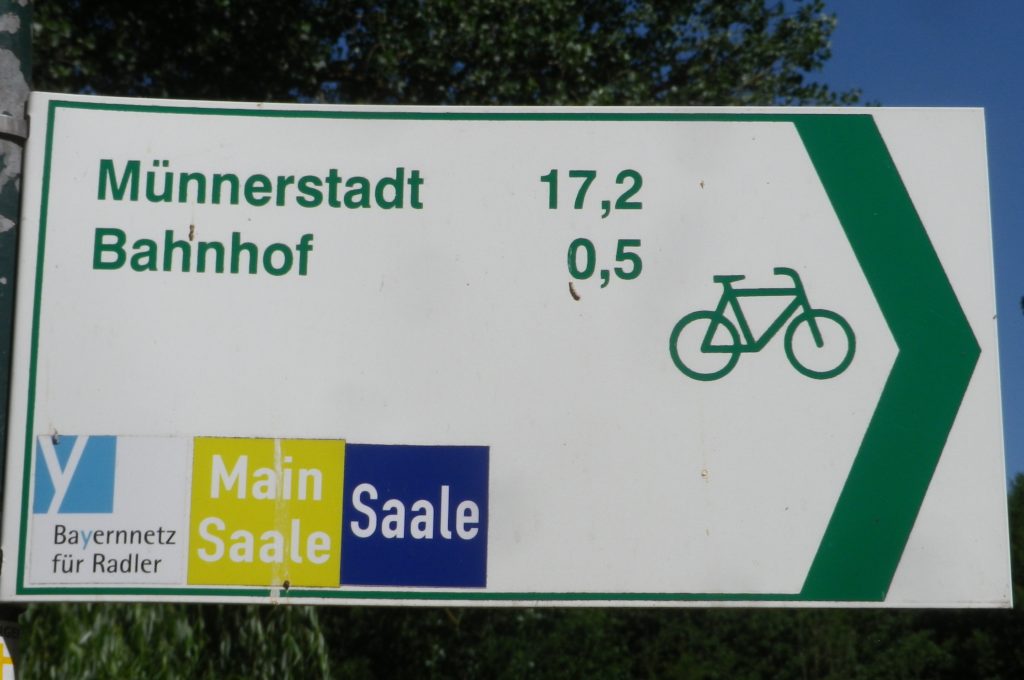
Marking: Blue background with white letters “Saale”

Sample Signage along the Trail


Trail Description: Fairly flat, with the inclines due to small spurs of more distant ridges, this quiet trail indeed follows mostly along the river, and through some of the riverside towns and villages, which make for great stops along the way.

Trailheads:

All Stages: -Trappstadt-Alsleben // Gmuenden am Main

My Stage: Bad Kissingen,  In der Au x Bismarkstr // Diebach, Reuthweg

Parking (My stage only):

Bad Kissingen:

In der Au, dozens of perpendicular parking spaces along the lane; Costs one Euro per day/Four Euros for the week.

Maxstr, Parkplatz Tattersall is a large, improved lot, but costs more per day.

Diebach: Obertor, large unimproved area in a field (by parking sign at the eastern edge of town)

Public Transportation Options:

Rail: DeutscheBahn serves Hammelburg and Bad Kissingen with small stations in most of the towns mentioned in the trail itinerary below.

Bus: HOB Bus lines 8165, 8141

Suggested Stages: Not applicable for my stage

Trail Itinerary-Reference Points: (My stage only – heading downriver)

Bad Kissingen: Bismarkstr, Lindesmuhlpromenade (an alternate path through the park), Oskar von Miller Str, Im Lindes, past water treatment plant, parallel Iringstr; into forest, along the river, cross the Lollbach, parallels B287; Euerdorf: Ringstr, Kissingerstr, Gerbergasse, path along the river, parallel Auraerstr, Ara: Hauptstr, Trimbergerweg; Trimberg: Quellenstr, Hugo-von-Trimberg-Str-Brueckenstr; Elfershausen: Pass Elfershausen-Trimberg train station, August-Ullrich-Str, Marktstr, Langendorfer Str, cross river; Pass under A7, parallel river; Langendorf: Hauptstr, Westheimerstr, cross river; Westheim: Grenzstr, path left to cross river (two times in about 500 meters); Hammelburg: Pass Hammelburg Ost train station, An der Walkmuehle, Kissinger Str, straight at circle, continue, Am Marktplatz, Bahnhofstr,  Saaletalstr, then cross tracks and follow parallel path;

Representative Trail Photos:

Sample of Non-Asphalted Trail Surface
Representative Section of Trail and Surface
Section of Trail in Bad Kissingen


Restrooms (My stage only):

Bad Kissingen: Am Kurgarten, in the Arkadenbau (arcaded building)

Elfershausen: Schlossstr x Marktstr, at the Community Center, in an outbuilding facing the courtyard

Hammelburg: Marktplatz, on the side of the Rathaus

Attractions on or near Trail (My stage only):

Hammelburg:

Kellereischloss: Historic wine cellar, with wines on offer weekly, usually Friday evenings

Museum Herrenmuehle details the history of wine-making in this area, and with its other emphasis on bread-making, from grain to final product. A recent new exhibition combines these two items under the theme: Bread and Wine.

Tasting along the Trail (My stage only):

Hammelburg: Weingut/Hotel/Restaurant Mueller; Weingut Schloss Saaleck, Kellereischloss (see above), right on the trail; several small wineries on the outskirts of town

Ramsthal: A couple of wineries in town. (Ramsthal is about  three kilometers from the river trail.)

Bad Kissingen: No wineries, but lots of wine taverns and local wine selections at the many restaurants.

Alternative Options (My stage (and wine-themed) only):

Hiking:

Rundweg Hammelburg 9: A seven-kilometer trail beginning in Hammelburg, passing in about equal parts through vineyards and forest, with beautiful views all around.

Wein und Stein trail, from Euerdorf to Bad Kissingen, a 12 kilometer-long, signposted trail of medium difficulty. See details in regional link below.

Ramsthal: The Ramsthal Weinerlebniswege: Three circuits around the town’s vine-bearing hills, ranging from the three kilometers-long Bacchus Rundweg, to the Schoppen Rundweg at 7.2 kilometers in length.

Additional Information:

Regional: https://www.frankens-saalestueck.de/weinland-franken/frankenwein-urlaub/index.html

Trail specific:

http://bay-rad.de/gpxrw/BfR_Radwanderweg_Fraenkische_Saale.gpx

Downriver only from Elfershausen to Hammelburg and Gemuenden am Main:

https://www.outdooractive.com/de/route/radtour/rhoen/fraenkische-saale-von-elfershausen-nach-gemuenden/101939808/#dm=1

Comments:

The trail along the Fraenkische Saale is long, but I focused only on the vineyard part of it: from south of Bad Kissingen to just west of Hammelburg (Stadtteil Untereschenbach).

This trail connects with the Main Radweg, the Main River Bicycle Trail, leading to the Rhine by Mainz, from which point it is possible to follow the Rhine Bicycle Trail. For details on part of each trail, see the Rhine Nutshell here, and the Main Nutshell here.

Red Wine Ways


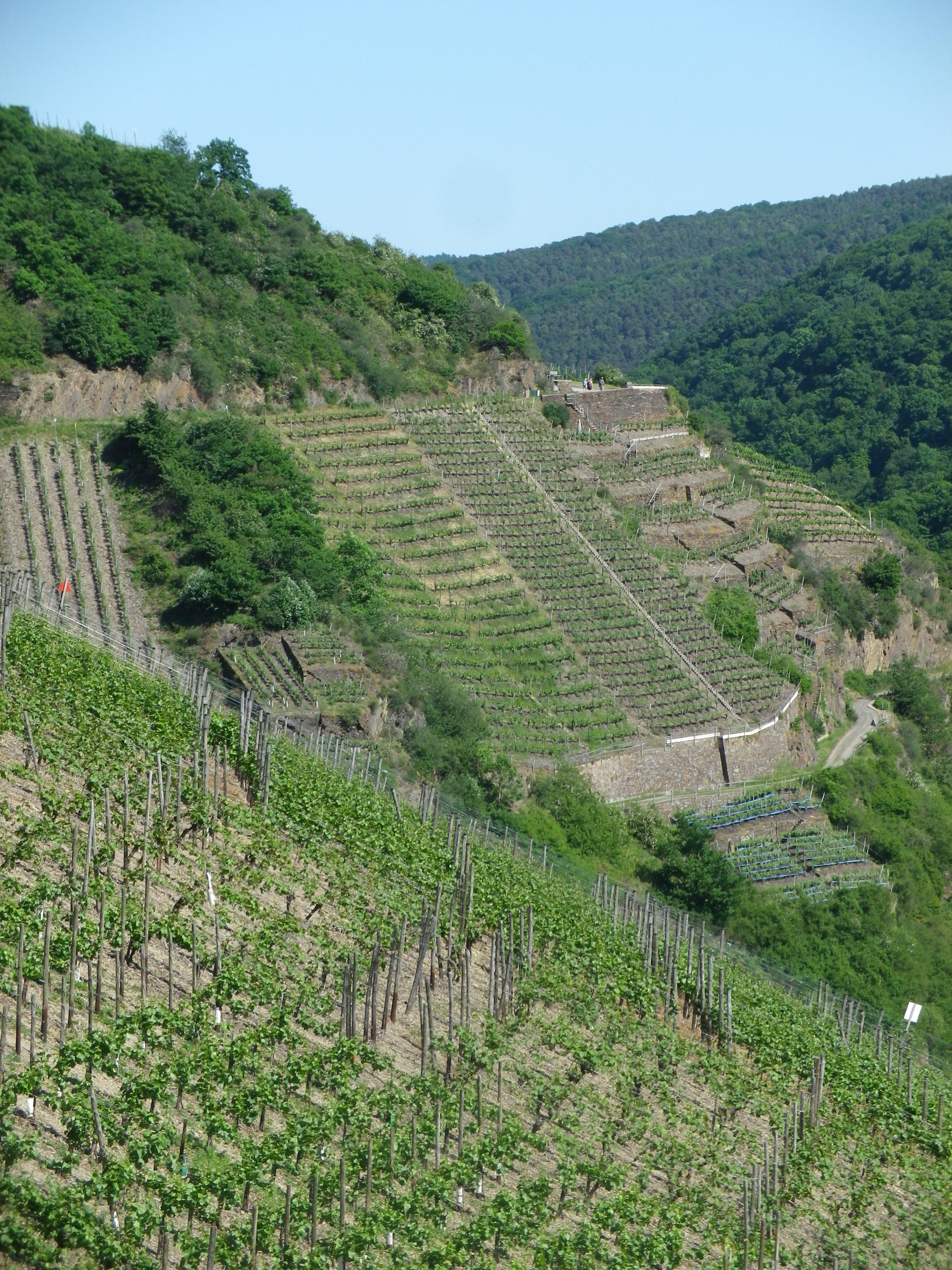
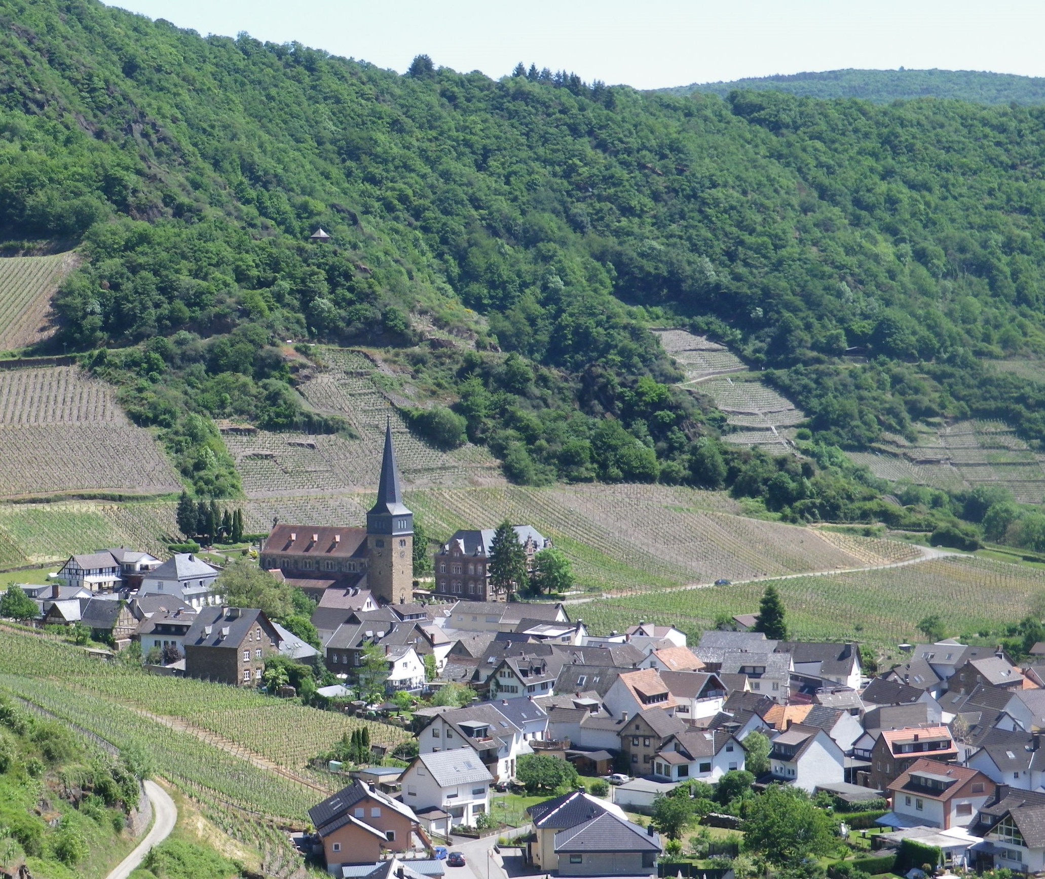
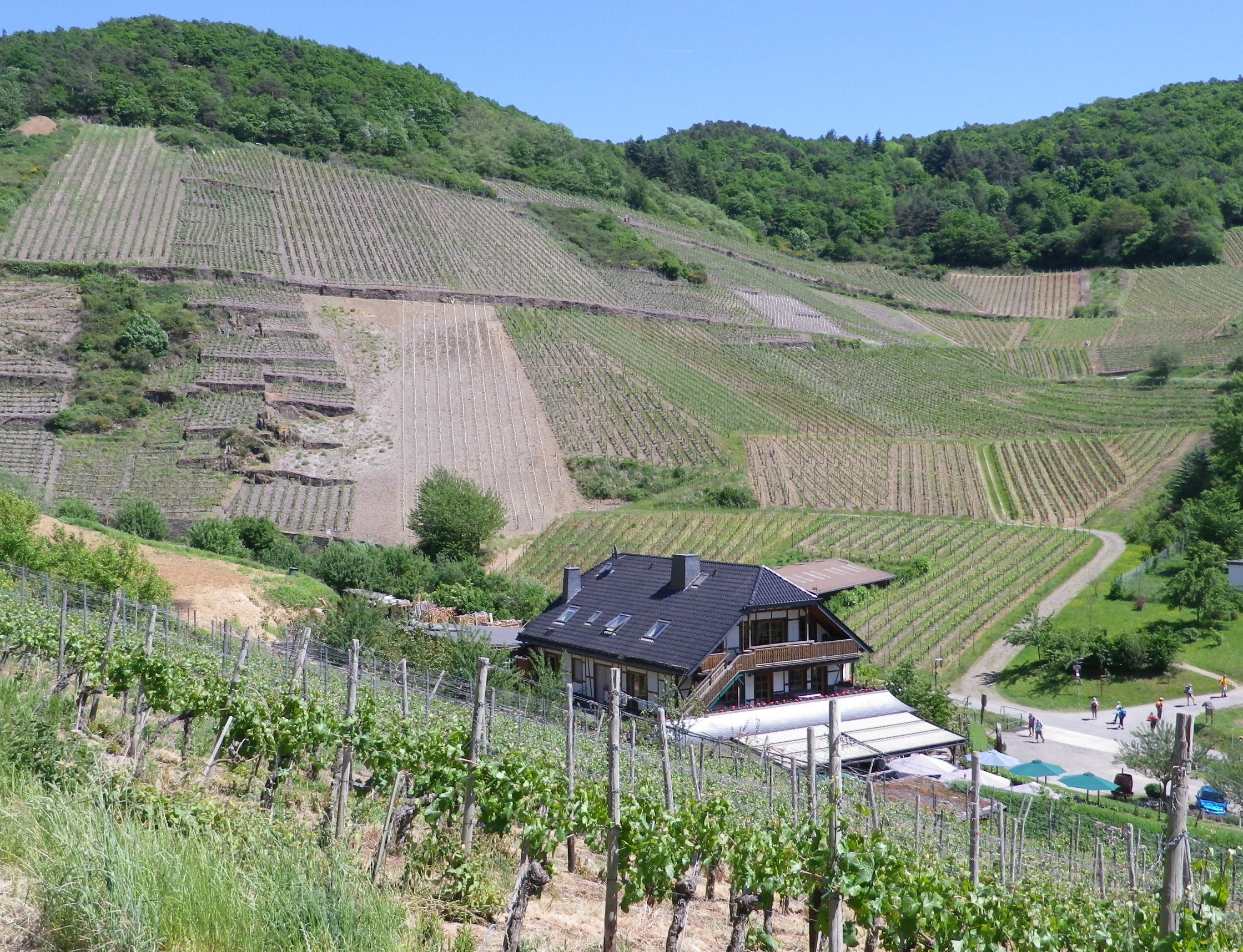
I didn’t know what to anticipate in the Ahrtal, but it certainly wasn’t this: gorgeous, dramatic scenery, and absolutely delicious food and wine, all set in the heart of the river valley of one of the lesser known German wine regions.

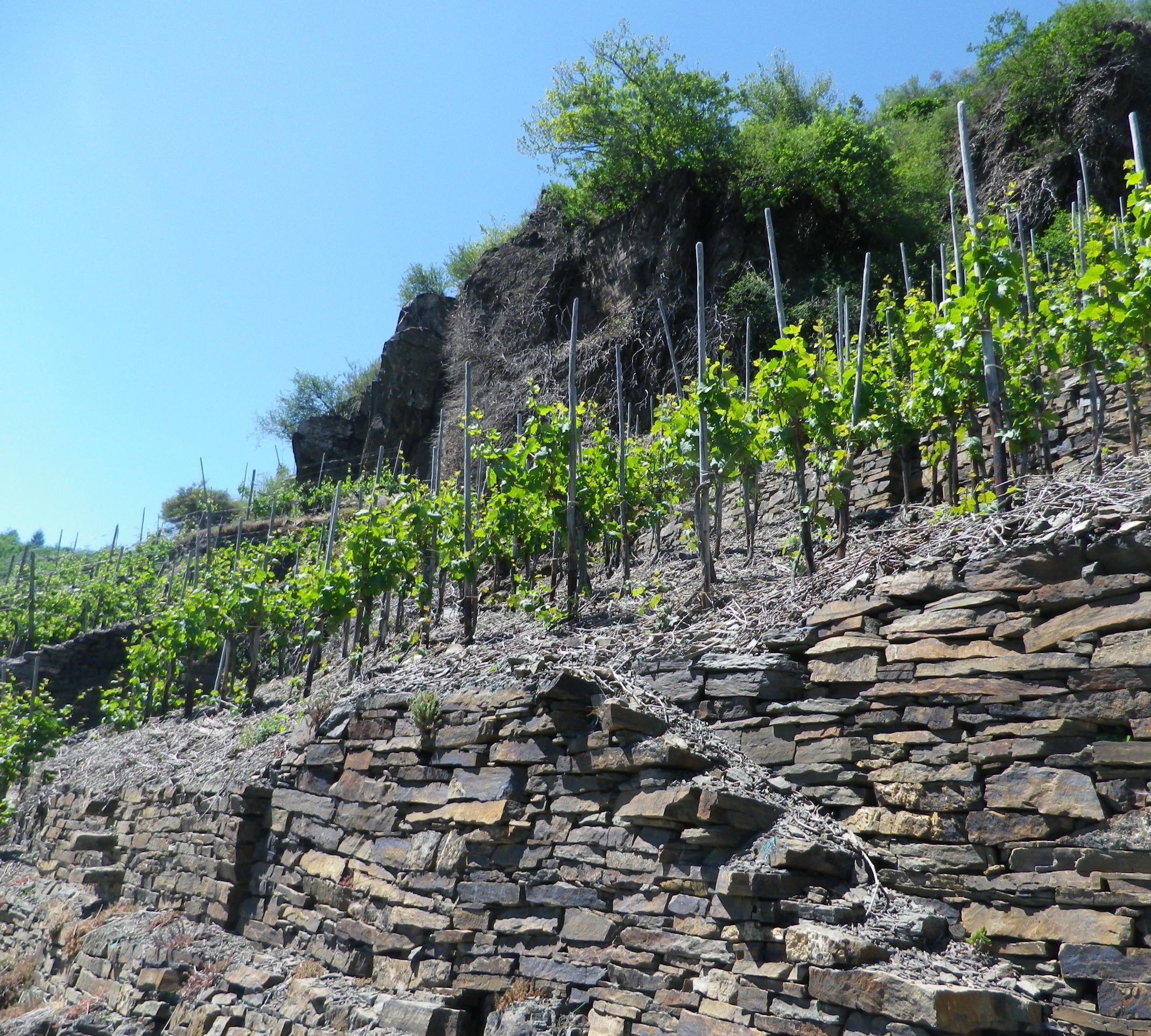
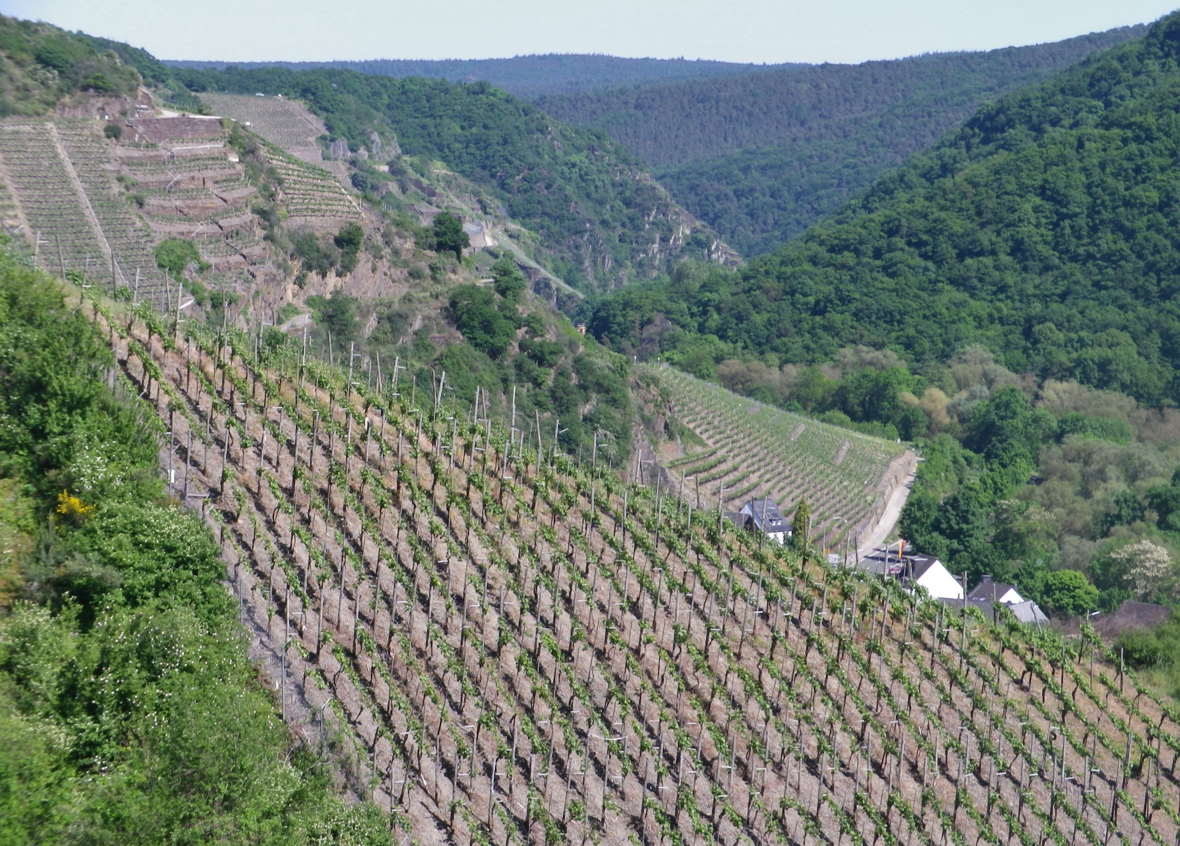
Steep Terraces and Tree-lined Slopes


Also unexpected were the steep hills that, by necessity, must accompany such stunning perspectives. And equally unexpected was the excellent red wine. Given its northern latitude, where ripening can prove difficult, good red wine is often challenging to make. Finally, I did not expect such well-developed tourism infrastructure in an area unknown to mass tourism. But Germans certainly knew about it, as the license plates I saw in the towns and villages indicated visitors from all over Germany – and with good reason.

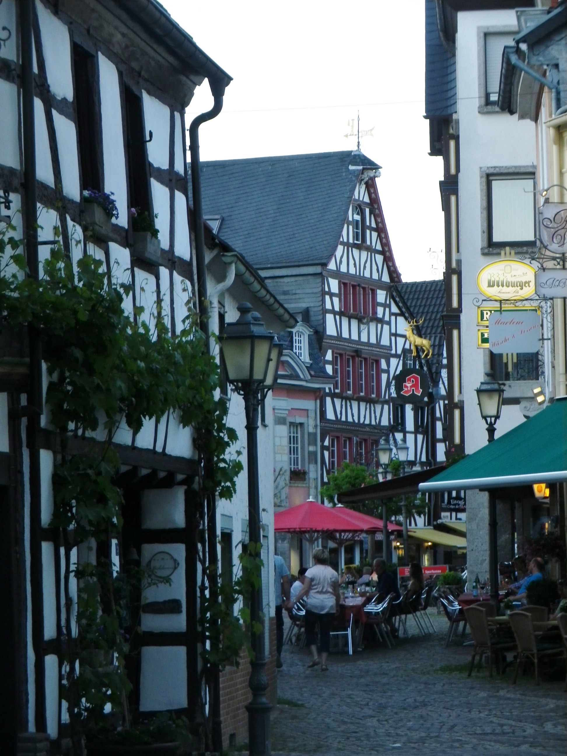
Ahrweiler: Street Scene


The main town in the area, Bad Neuenahr-Ahrweiler, is a delightful spa town, with all the amenities found in most spa towns: perfectly maintained paths (wheelchair as well as baby carriage accessible) through beautifully manicured parks or gardens; cafes by the dozen where strollers can watch the world go by with a cup of coffee, or a glass of wine in hand; museums and concerts, sometimes even free and outdoors; and, of course, good restaurants. The most important amenity though, pools and spas, are throughout town and in several hotels. (Soaking in a whirlpool of hot water after a long hike is any hiker’s idea of heaven on earth.)

Bad Neuenahr: City Park


But for those preferring something a bit more strenuous, there is the Rotweinwanderweg. At 35 kilometers, it is designed to be hiked over a couple of days in stages, at your own pace. Conveniently, area hotel guests receive a local rail pass, which was another pleasant surprise! Therefore, it is possible to ride to the start point, in Altenahr, hike your way back down the valley to a point of your choosing, then picking up the following day where you left off the day before.
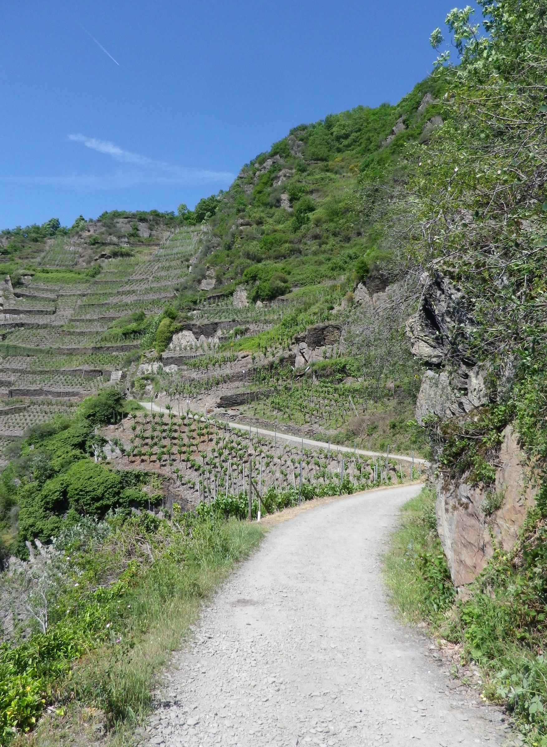
Winding Along the Cliffs


This trail is certainly do-able in two days, but you will want more time! Lovely wine taverns, wine shops and rest areas line the trail in places. While some taverns were in the villages (Dernau was especially full of them), I stopped at one (the Michaelishof) magnificently set in the midst of the vineyards on the outskirts of Mayschoss to sample some food and wine, in spite of being behind schedule.


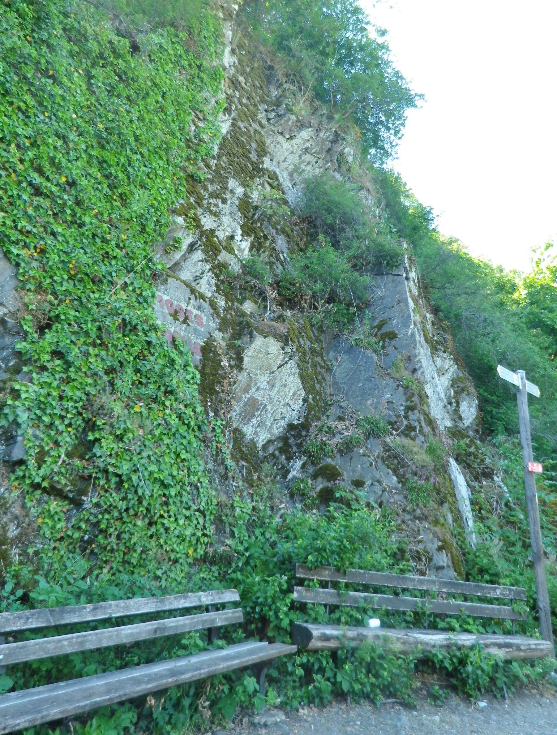
Other places that beg for a stop on the trail are fantastic overlook points, and dramatic cliffside benches. Quiet forest vales also invite hikers to experience a few minutes in shadowy, green tranquility. Sadly, I didn’t have enough time to maximize my enjoyment at each spot, so it was often with a heavy sigh, that I moved on. But at this point, I knew I could definitely count on another unexpected delight around the next bend or atop the next rise – and I was never disappointed.

Cliffside Seating


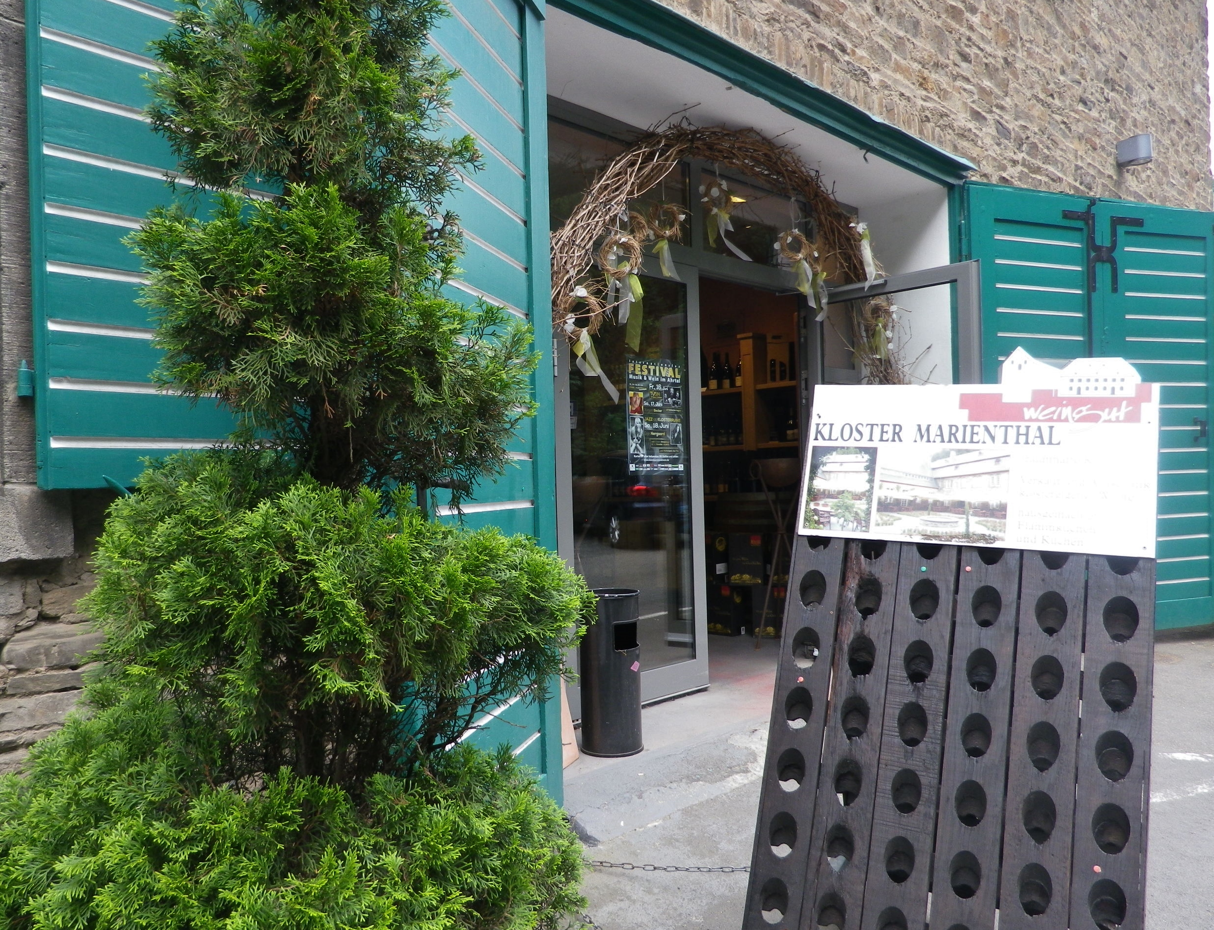
My hike on the Rotweinwanderweg only took me from to Altenahr to Marienthal. That is to say, I only completed the first 13 kilometers of the trail because of personal time constraints. Marienthal is as good a place to stop as any, as it is the site of a former monastery, now home to the Weingut Kloster Marienthal. Set in a hidden, narrow draw lined by vineyards on one side of the road, and tall pines on the other, its historic building contains an impressive wine shop, a wine bar, and a garden café. It was a fitting way to end my hike on this trail, which also included an unexpected desire to return someday to finish this great trail.

Marienthal: Wine Shop and Tavern


Wine Notes: German Ahr Wine Region


What I Learned

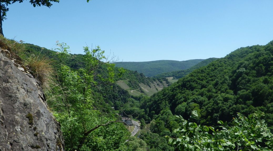
Germany’s Ahr Wine Region, almost 50 kilometers north of the Moselle at Koblenz, is the Rhineland-Palatinate’s northern-most wine region, though it is not Germany’s northern most wine region. (That honor goes to the Saale-Umstrut region in Saxony.)  But it is the furthest north red wine region in Germany. Until seen, it would be hard to credit that red varietals could ripen well enough this far north. But the vines grow on steep, mostly south-facing slopes of volcanic rock, along a very narrow valley that runs (in a very serpentine fashion) from west to east. Nature and geologic activity have combined to create some ideal conditions for red varietals here, with volcanic stone soils in the western end of the valley, and loess soils in the eastern end of the valley, as it approaches the Rhine.

With only about 560 hectares, it is one of the smallest wine regions in Germany. Red wine predominates, with about 540 of those 560 hectares dedicated to red varietals. Spaetburgunder (Pinot Noir) is the most widely planted varietal, but Domina, Regent, as well as Dornfelder and Portugieser, are other red varietals that are widely planted throughout the Ahr valley. The red Fruehburgunder varietal is a regional specialty.

Wine making has historically been a cooperative affair here. Kloster Marienthal, founded in 1137, has a long history of wine-making. As the name implies, it was formerly a monastery, which needed wine for its services. Abandoned for over 100 years, it became the state wine domain in 1925. A near-by wine cooperative (winzergenossenschaft) claims to be the oldest wine cooperative in the world. The Mayschoss-Altenahr cooperative was founded in 1868 with 18 vintner members, now boasts about 420!

One final word about the wines here: It is especially difficult to find Ahr wine outside the region!


What I Tasted

2016 Spaetburgunder, Blanc de Noir, Trocken, Deutsche Qualitaetswein, Winzergenossenschaft Mayschoss Altenahr: A dry red wine vinified white, a light medium gold color with a slight tinge of pink; floral nose, with floral, vanilla and slight ripe peach flavor, very smooth overall.

2015 Rose, Heimat, Trocken, Deutschen Qualitaetswein, Josten Klein: A dry red wine (Spaetburgunder) with dark salmon pink color; floral and red berry nose, with berry and mineral flavors; very mild tannins.

2015 Spaetburgunder, Ahr-Rose, Trocken, Qualitaetswein bA, Weingut Meyer-Naekel, VDP (Dernau): A dry rose wine with pink grapefruit color, floral and sweet berry nose, with flavors of the same; slightly tart, with no appreciable tannins.

Sekt, Cuvee CK, Brut, Winzerhof Koertgen (Ahrweiler): A dry, sparkling wine cuvee (Pinot Noir, Weissburgunder, Chardonnay), with medium gold color and lively bubbles; slight floral and yeast notes on the nose, with fruity and bread flavors; medium acidity.

Rotweinwanderweg: Trail in a Nutshell


Trail Name: Rotweinwanderweg (Red Wine Hiking Trail)

Trail Type: Long distance; surface footing is all hard, be it on tarmac or hardpacked earth to stair-steps; very well maintained, and extremely well-marked.

Length:

Total: 35.5 kilometers / 22 miles

My segment: Altenahr to Marienthal (@15 kilometers / 9 miles)

Convenient to: Bonn, Germany

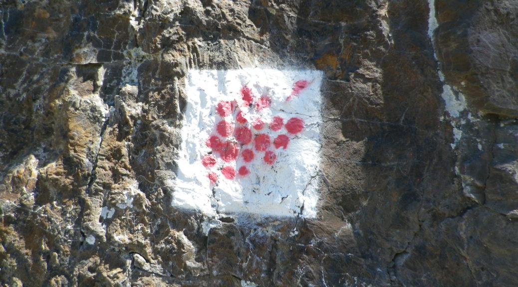
Marking: Red grapes on a white background

Trail Description:

This outstanding trail had a lot of variety – from the scenery, to the trail surfaces, with just enough challenge to make it fun. Sun and shade alternated as the trail passed from woods to vineyard. Judging from the numbers of couples and small groups, it is a popular trail, easily accessible from a number of points throughout its length, and one that offered several great wine taverns, as well as occasional rest areas with picnic tables, along the way.

Trailheads:

Altenahr: Seilbahnstrasse x B267

Bad Bodendorf : Bahnhofstrasse x Moselstrasse

Parking: (Altenahr to Heppingen only)

Altenahr: Seilbahnstrasse, a large lot

Rech: Brueckenstrasse (at the far end of the bridge)

Marienthal: Klosterstr, large lot at end of the improved road

Heppingen: Left off Burgstr, Parkplatz Friedhof, a large lot by the cemetery

Public Transportation Options:

Rail: Deutsche Bahn regional trains frequently service the Ahr valley, from Remagen to Ahrbruecke, with stops at all the villages/towns on the trail. (See the free ride tip below.)

Suggested Stages:

Altenahr to Mayschoss (4 km)

Mayschoss to Rech (3 km)

Rech to Dernau (4 km)

Dernau to Marienthal (4 km)

Marienthal to Walporzheim (3.1 km)

Walporzheim to Ahrweiler (3.4 km)

Ahrweiler to Bad Neuenahr (6.7 km)

Bad Neuenahr to Heppingen (2.2 km)

Heppingen to Lohrsdorf (2.5 km)

Lohrsdorf to Bad Bodendorf (2.1 km)

Trail Itinerary-Reference Points: (Altenahr to Bad Neuenahr only)

Altenahr: Altenburgerstr, Rossberg, trail for castle, then for Weisses Kreuz, vineyards, woods, more vineyards; Mayschoss: Weinhaus Michaelishof, Dorfstr, trail through vineyards, Rech: joins above In Der Aue; vineyards, then woods; Dernau: vineyards, cross K35, cross Bachstr, vineyards; Marienthal: Klosterstr; past the Kloster Marienthal winery, then ruins; Vineyards and woods, past Weingut Forsterhof; Bad Neuenahr-Ahrweiler: Im Teufelbach-Am Silberberg, vineyards, cross Elligstrasse, vineyards; Lantershofen-Grafschaft: cross L83/Hemmessener Str; Bad Neuenahr-Ahrweiler: cross over A573, vineyards; cross top of Bergstr, woods; Cross under A61; Heppingen: Jahnstr, past cemetery, cross Burgstr, woods, then vineyards; Lohrsdorf: Ritterstr, Grosser Weg, B266, vineyards, woods; Bad Bodendorf: Heerweg, turn at Winzerverein Bad Bodendorf onto Bahnhofstr.

Representative Trail Photos:

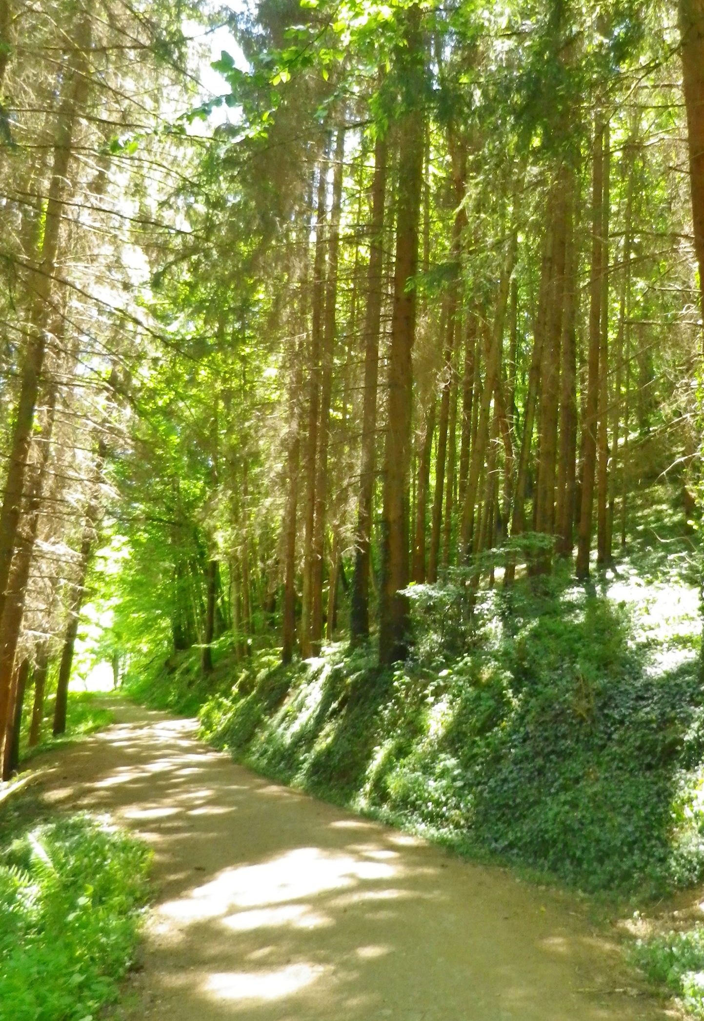
Section of Woodland Trail


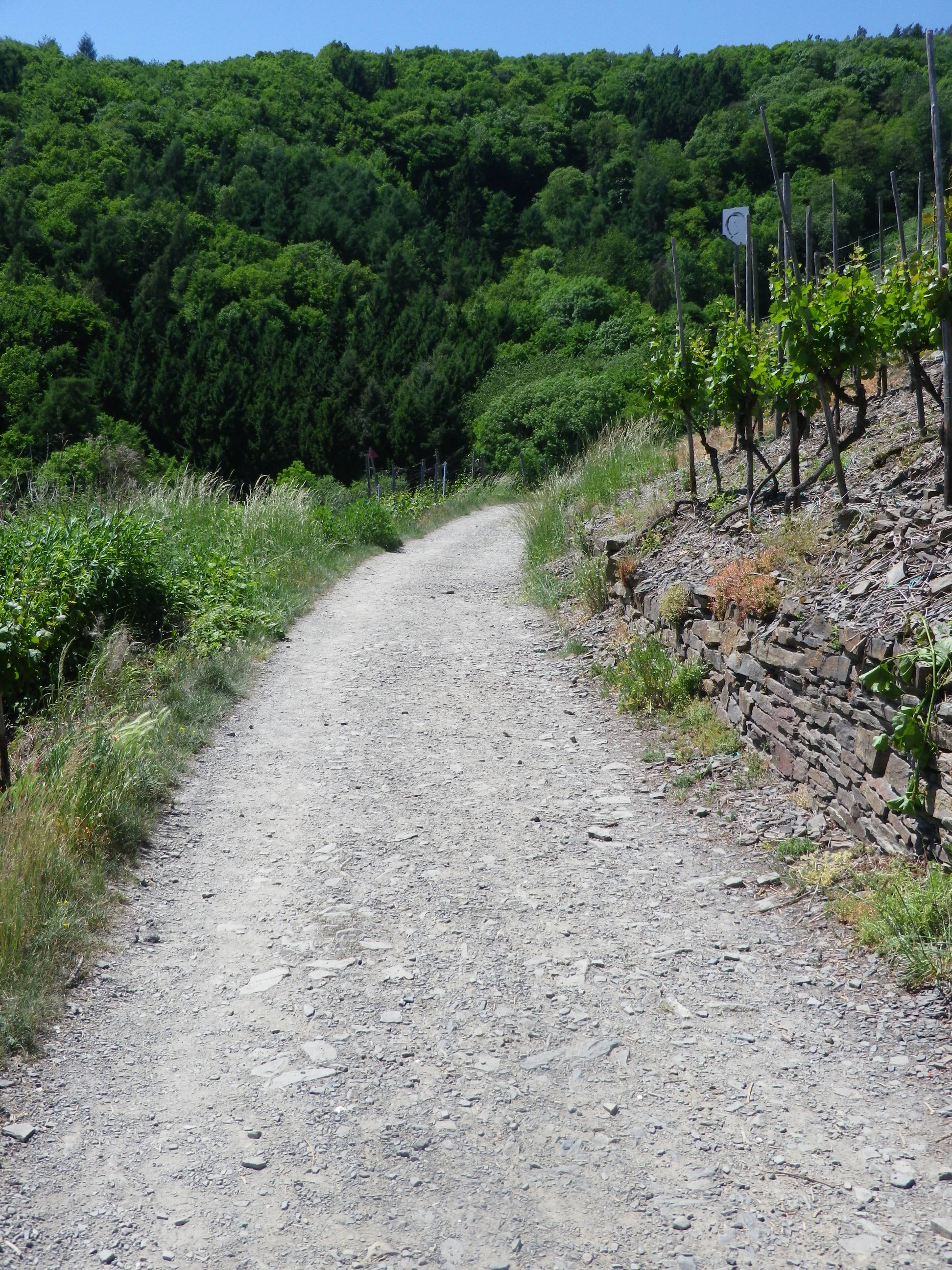
Trail: Sample Section Through Vineyards


Restrooms: None observed!

Attractions on or near Trail:

Ahrweiler: AhrWeinForum, a museum with permanent displays focusing on the life of vintners in the vineyards and in the cellars.

Tasting along the Trail:

Many taverns, wine bars and wineries (See itinerary above for ones directly on the path). Many more may be found off the trail in town/village centers.

Alternative Options:

Biking: The 75-kilometer-long Ahrradweg (Ahr Bicycle Trail) begins further upriver, and from Altenahr covers the same wine villages, albeit from the valley floor, mostly on dedicated bike paths, following along the river.

Additional Information:

Regional: https://www.ahrtal.de/en/

Trail  specific: https://www.outdooractive.com/de/wanderung/ahrtal/rotweinwanderweg-ahrtal/1362674/#dm=1

Comments:

I was enthralled by the gorgeous and dramatic scenery. As a wine drinker, I came to appreciate every curve and new hillside, which sheltered yet another natural bowl for the vines to thrive in. A one-day hike of slightly less than half this trail, (followed by a good soak in the mineral waters), was simply not enough time to spend here.

Bad Neuenahr-Ahrweiler is a health resort area, and it has a number of attractions which might appeal to visitors: open air jazz or classical concerts, wine tastings and spa treatments.

If staying in the valley at a local hotel, the hotel-provided guest card will serve as a train ticket during your stay! The train is the ideal way to cover the stages of this hike.

Spring is for Silvaner


I think Silvaner is a perfect spring wine. Slightly cooled, it has ripe stone fruit and fresh green grass/herbaceous flavors with a hint of minerality, and a fuller mouthfeel than Riesling but with less acidity. Perfect for sunny but cool days when a Riesling’s bracing acidity could bring a chilly versus a warm sensation overall.

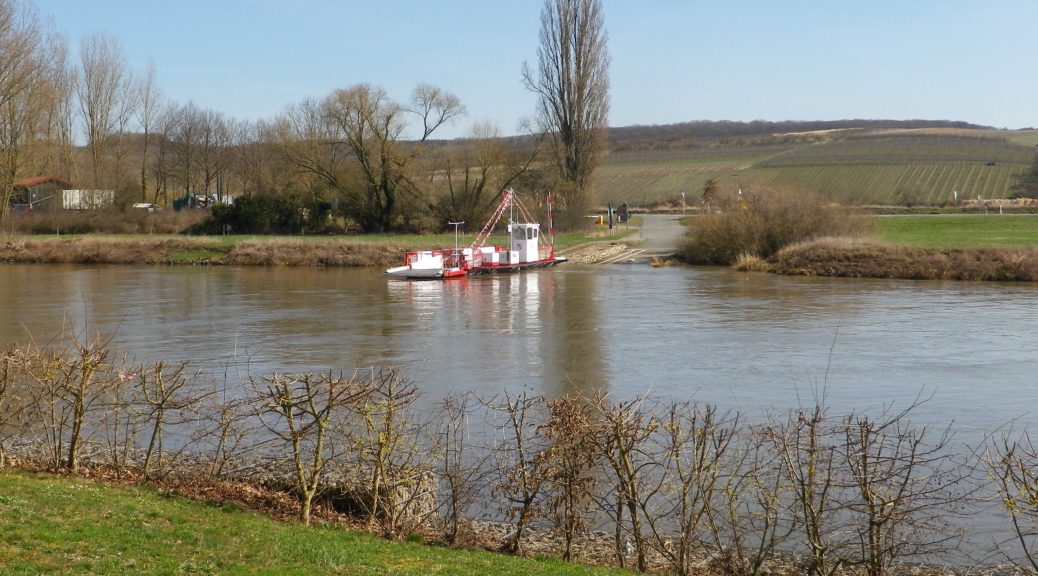
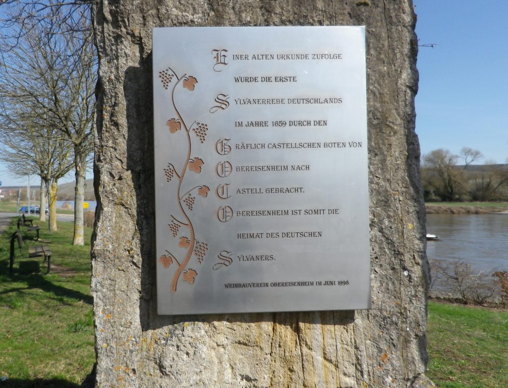
A combination of warm, sunny Spring weather and a hiking itinerary in homage to Silvaner lured me to Eisenheim in Franconia’s Maindreieck district, where Silvaner first made its official appearance in Germany in 1659. Fortunately, Eisenheim’s riverside location is great not just for vines, but also for hikes.

Commemorating Eisenheim: Silvaner’s German Homebase


Beginning at the edge of the Main River, flowing slowly but inexorably along gentle green banks, the itinerary crossed the famous Main bicycle trail. In addition to hiking, this area is also ideal for bicyclists. Those who enjoy easy, leisurely itineraries will love the Main Bicycle (Main Radweg) trail, one of the favorites in Germany. Those who prefer a more challenging rides will follow one of several trails uphill, as did my hiking itinerary. The Silvaner Erlebnis trail leads through the quiet village, before entering into the vineyards. Soon, I was hiking over a hill and into a dale, amongst hectares and hectares (acres and acres) of vines that give the trail its name. Along the way, occasional signboards (only in German though) provide information on Silvaner, and the viticultural and vinicultural aspects of wine-making here.

Hectares of Vines


Once I finished the final, gentle ascent, I had my first glimpse of the Main River and the Steigerwald mountains. The trail proceeded along the tree-line paralleling the top of the ridgeline. I was glad it was early spring, because there was very little shade, and except for one tiny spot, I found myself entirely in the sun. The trail made its way through the south-facing vineyards, heading downriver. The twists and turns of the path offered different perspectives on the river and distant mountains.

The Distant Steigerwald Mountains


Soon the village of Untereisenheim came into view. The Weingut Hirn provides a unique and colorful visual cue. The winery’s main building is a Hundertwasser-esque building, a whimsical creation that invites comparisons between Gaudi’s Sagrada Familia basilica in Barcelona, and the Hundertwasser House in Vienna. The winery is open to the public, which gives visitors a chance to admire the building up close, and taste some excellent wine as well!

Weingut Hirn


From Untereisenheim, the trail headed through the lower vineyards back to Obereisenheim. Benches along the way invite hikers to relax and take in the views. Peace and quiet predominate here, and a spell on a bench here and there, with friends and a glass of wine, add to the enjoyment of it all! Zum Wohl!

On the Silvaner Erlebnisweg Trail

Wine Notes: Franconia’s Silvaner


What I Learned

Along the Main River in Franconia (Franken, in German), there are three wine districts of good repute: Maindreieck, Mainviereck, and the Steigerwald. This post focuses on the Maindreieck district only.

The Main, flowing basically from east to west, is a tributary to the Rhine River. The river makes three consecutive and dramatic curves close to the heart of Franconia, essentially going from east-west, to north-south, then south-north by Ochsenfurt, before curving roughly east-west again. The Maindreieck is thus a triangle (Dreieck) of land surrounded on three sides by the Main River. This area has become a paragon of viticulture in south central Germany. The most important and undoubtedly best-known town for wine culture in this area is Wuerzburg.

In Franconia, Riesling is not king, as it is in many other wine-growing regions of Germany. Silvaner plays that role here. In fact, it is one of the most important varietals for this particular area. Known officially in Germany as the Gruener Silvaner (Green Silvaner), genetically-speaking it is the same varietal as the less widely spread Blauer and Roter (blue and red) Silvaner mutations. Franconian vintners have grown Silvaner since the 17th century. Like the river, it came to Germany from the east, Austria, and moved westward, as far as the Rhein-Hessen wine region. It now grows even in the United States. The first definitive reference to it in Germany occurred in Eisenheim (location of a “Silvaner” trail), thus this small Franconian village is known as its German birthplace.

Many locals prefer Silvaner over Riesling. I find it the perfect spring-time wine. Slightly cooled, it has ripe stone fruit and fresh green grass/herbaceous flavors with a hint of minerality, with less acidity and  a fuller mouthfeel than Riesling. Perfect for sunny but cool days when a Riesling’s bracing acidity could produce a chilly versus a warm overall sensation. Analogous to the season, it is usually produced to drink young, and those lucky enough to have a bottle of this wine should probably drink it within a couple of years.


What I Tasted

2017 Silvaner, Kabinett, Trocken, Praedikatswein, Weingut Hirn (Eisenheim): A dry white wine with medium minus white gold color, floral nose with a hint of spice; surprisingly neutral on the palette; smooth mouthfeel with medium acidity.

2017 Blauer Silvaner, Obereisenheim Hoell, Kabinett, Trocken Deutscher Praedikatswein, Weingut Kramer (Eisenheim): A dry white wine with medium minus gold; on the nose a spiciness reminiscent of cardamom, with floral, green wood, and spicy mustard flavors; medium plus acidity, with a full but tingly mouthfeel.

2015 Silvaner, Spaetlese, Grosse Gewaechs, Trocken, Praedikatswein, Weingut Hirn: A dry white wine with medium yellow gold color, spice cinnamon, vanilla, floral; cantaloupe, vanilla, apricot; medium acidity.

2016 Blauer Silvaner, Trocken, VDP Gutswein, Weingut Arnold (Randersacker): A dry white wine with medium gold color with a hint of rose; nose of red apple, vanilla and spice, with red apple, vanilla and slight toasted nuts flavors; smooth mouthfeel, medium plus acidity, but with a touch of honey after.

2016 Silvaner, Wuerzburger Schlossberg, VDP Erste Lage, Trocken, Staatlicher Hofkeller Wuerzburg: A dry white wine with rich yellow gold color; with green apple nose, and a spicy, green apple flavor; medium acidity with a smooth, crisp finish.