Category Archives: Biking

One River, Two Trails


Another cycling route, and another chance to sample the wines along the Main River. The Main River valley is famous for its wines and its long-distance bike trail, the Main Radweg. It is one of Germany’s most popular cycling itineraries, justifiably beloved for its combination of pretty scenery, easy riding, welcoming towns and villages, and its wine culture. Many cyclists complete the entire Main Radweg. It is almost 400 kilometers long, and is not a circuit. This endeavor calls for time as well as careful advanced planning, which are usually in short supply for most of us. The Geniesser Tour cycling itinerary however is a wonderful alternative. Depending on stops, it is a half-day to a day-long circuit through one of the quietest sections of the Main Radweg in the Franconian wine region’s eastern Maindreieck district.

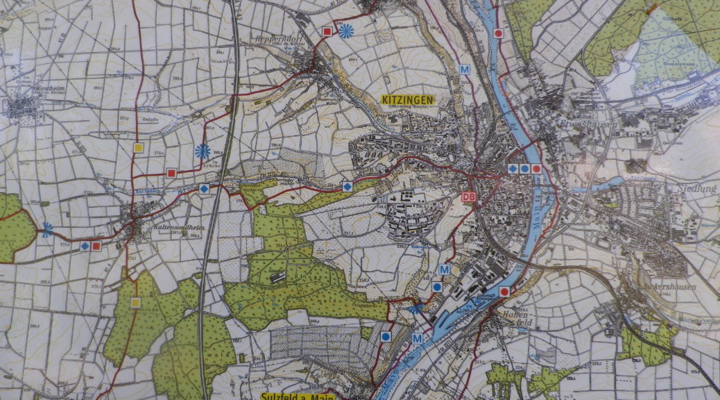
Beginning in Dettelbach, a well-known wine village, the trail followed along the river on the Main Radweg for about three kilometers. At Mainstockheim, the Geniesser Tour route peeled off into the hills above the river. The GWF, or the Winzergemeinschaft Franken, to give it its full name, came into view after passing through Buchbronn. GWF wines can come from grapes from various wine districts of Franconia. But the closest were found along the trail in the vineyards outside little Repperndorf. The trail entered Kitzingen shortly thereafter. It is undoubtedly the largest town in the area, with an historic center that is well worth the 500-meter detour.  But if you push on, not to worry: the route does circle back to Kitzingen, albeit on the other side of the river.
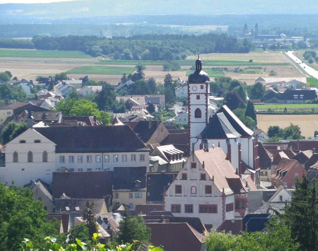
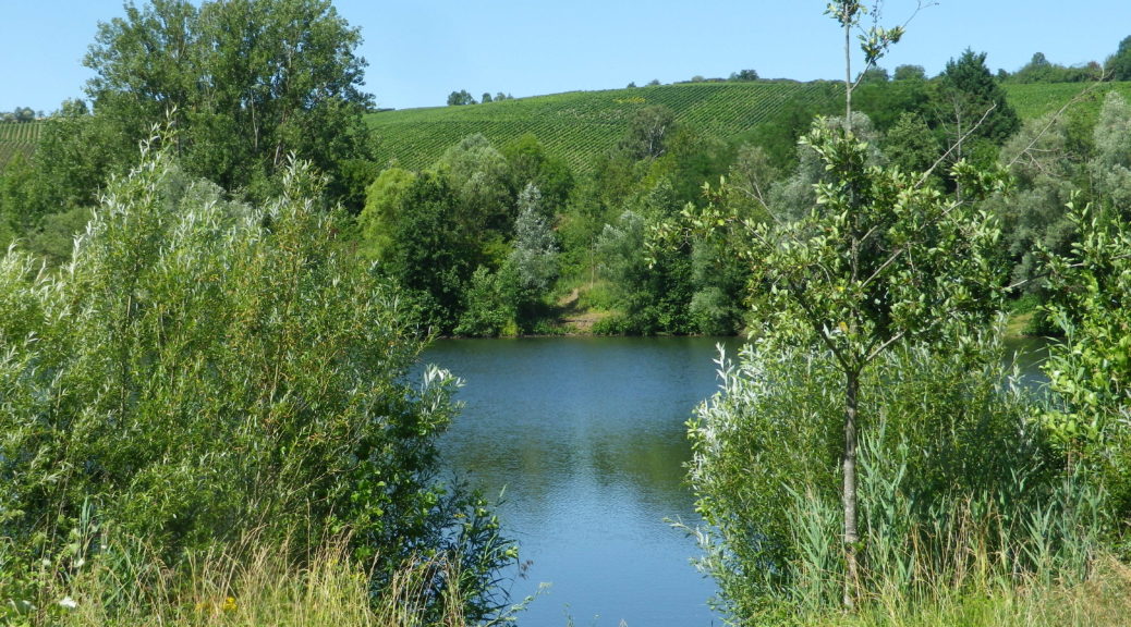
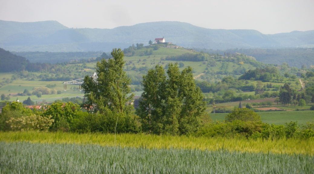
Above Dettelbach

Continue reading One River, Two Trails

Geniesser Tour: Trail in a Nutshell


Trail Name: Geniesser Tour

Trail Type: Long distance cycling circuit; well-maintained and almost exclusively paved, mostly good marking throughout the circuit

Length:

Total – 49 kilometers/ 30.5 miles

Convenient to: Kitzingen, and Wuerzburg, Germany

Marking:

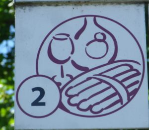
An official Kitzinger Land tour, the signage for this tour numbered two includes outlines of a wine glass, wine bottle and plate of asparagus spears in burgundy on a white background.

Geniesser Tour Signage

Continue reading Geniesser Tour: Trail in a Nutshell

On Wuerttemberg’s Weinradweg


Wuerttemberg’s Weinradweg (Wine Cycle Route) complements this German state’s long-distance, wine-themed hiking trail, and extends a bit further south as well. When it comes to wine trails, both the hiking trail and this biking trail fall in the category of extensive. I had already hiked, and really enjoyed, parts of the 470 kilometers/292 miles-long hiking trail. I wanted to explore the bike trail as well.

Since I knew I would never complete the whole route, I decided to cover new ground, the area south of Stuttgart, along the Neckar River, one section of Wuerttemberg’s wine country that the complementary hiking route does not reach. Looking at the trail map, it is easy to see that the very first segment lends itself nicely to a circuit route: starting from Rottenburg am Neckar, and going to Tubingen, via the Ammerbuch valley, and returning to Rottenburg along the easy, popular and well-marked Neckar Valley bike trail.

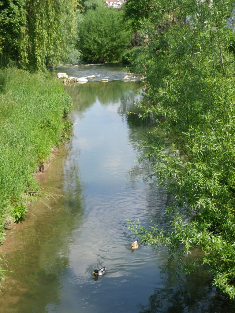
Ducks on the Ammer

Continue reading On Wuerttemberg’s Weinradweg

Wuerttemberger Weinradweg: Trail in a Nutshell


Trail Name: Wuerttemberger Weinradweg

Trail Type: Long distance; well-maintained and almost exclusively paved, marking on the trail very good

Length:

Total – 354 kilometers/219 miles

My segment – 32 kilometers/ 20 miles

Convenient to: Stuttgart, Tuebingen, Rottenburg am Neckar, Germany

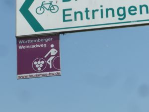
Marking: Square metal shield with a white-outlined stylized rider on a bicycle superimposed on a burgundy background

Wuerttemberger Weinradweg Sign

Continue reading Wuerttemberger Weinradweg: Trail in a Nutshell

A Spring Warm-Up in the Pfalz


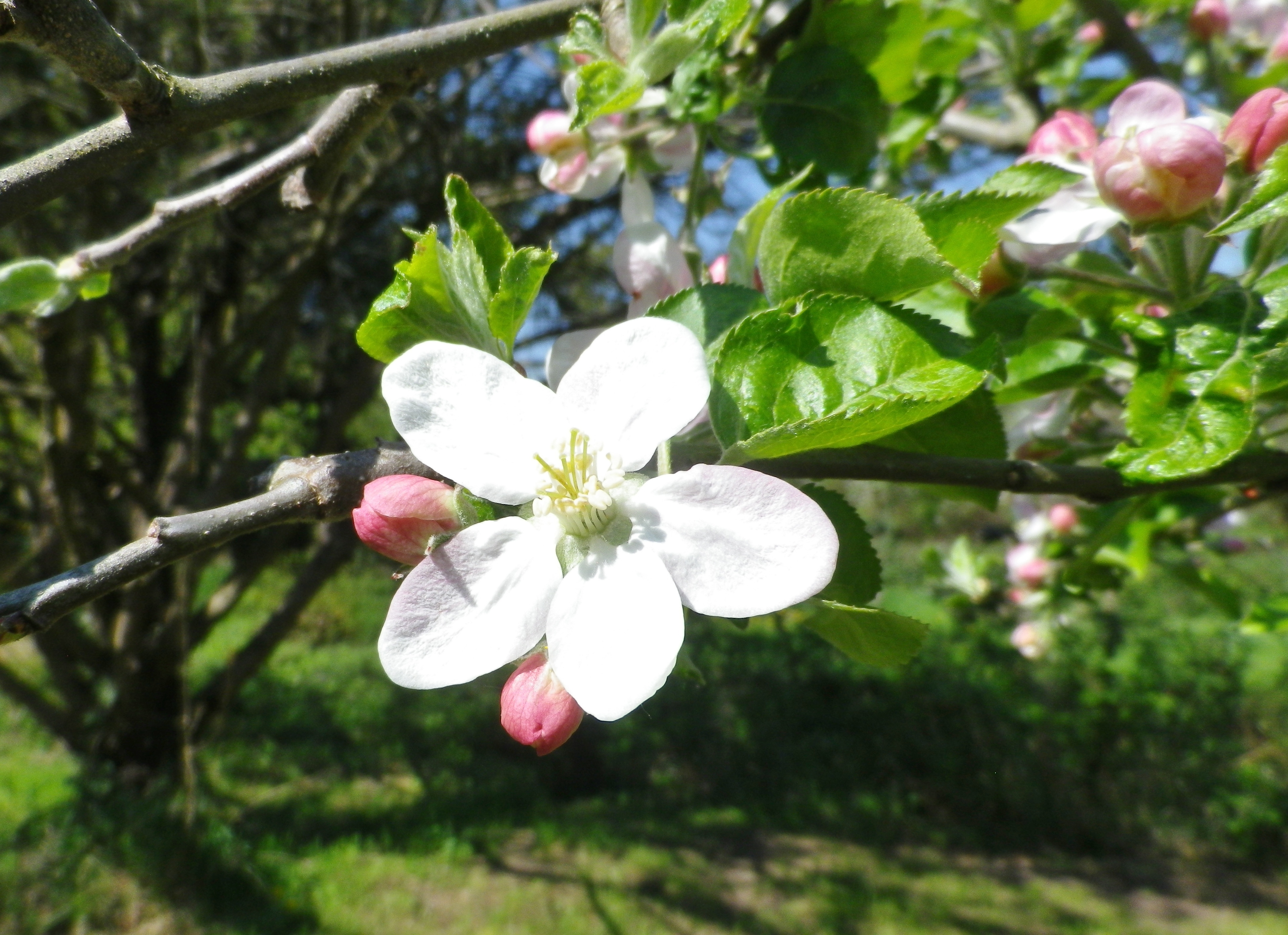
Spring blooms relatively early in the southern Pfalz. First, and perhaps the most spectacular of all, are the almond blossoms. Beginning in early March and continuing until mid-April, the profuse, brilliantly pink flowers seen against a cerulean blue sky, are a gorgeous sight. This magnificent spectacle prompted a long-distance hiking trail entitled the Pfaelzer Mandelpfad, or the Pfalz Almond Trail. While I unfortunately arrived just as the pink almond blossoms had faded, I could see the next tree blossoms on deck: the delicately colored white apple tree blossoms.

Apple Tree Blossom

Continue reading A Spring Warm-Up in the Pfalz

Fassboden 3: Trail in a Nutshell


Trail Name:  Fassboden 3

Trail Type: Short distance cycling circuit; well-maintained and on mostly paved surfaces, (with little vehicular traffic along the way). Marking on the trail was good in some areas, albeit with only generic cycling traffic marking, and non-existent in others. (Best to have the free map or the GPX coordinates found at the link below.)

Length:

Total – 23.5 kilometers/14.5 miles

Convenient to: Landau, or Karlsruhe, or Bad Bergzabern, Germany

Marking:

Square signs with a wine barrel and the number 3 inscribed on it. (Colors are green and white; sometimes it is a green background with white design, or otherwise vice versus.)

Trail Signs – with a Fassboden 3 Sign

Continue reading Fassboden 3: Trail in a Nutshell

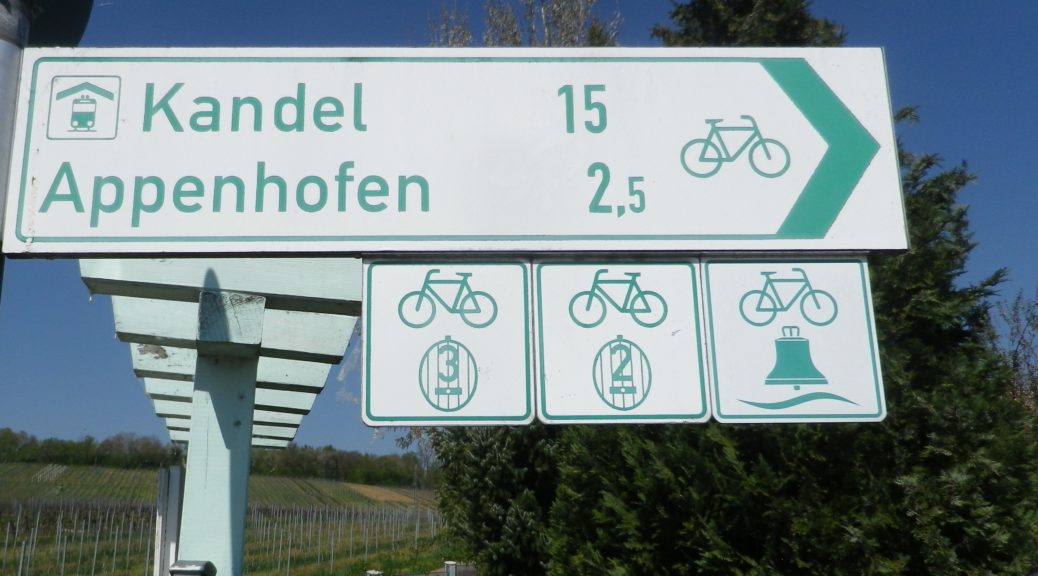
Cycling Through the Collio Vineyards


Slow Collio, “un Paesaggio da Bere” (Slow Collio, a Terrain to Drink). Upon reading the inviting name of this cycling itinerary, two contradictory thoughts came to mind.

First: What a great concept, combining the territory and the wine, all the while promoting the slow enjoyment of both; and then, in my experience hills and drinking wine could present a cycling challenge.

Then: the fact that the word “Collio” implies hills, which gave me, a not-so-fit wine enthusiast, a moment of sober reflection, before my enthusiasm for being outdoors, and visiting wineries to taste local wines kicked back in.

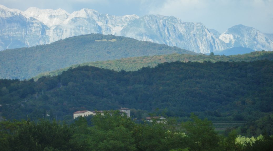
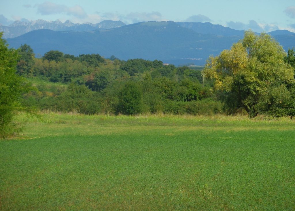
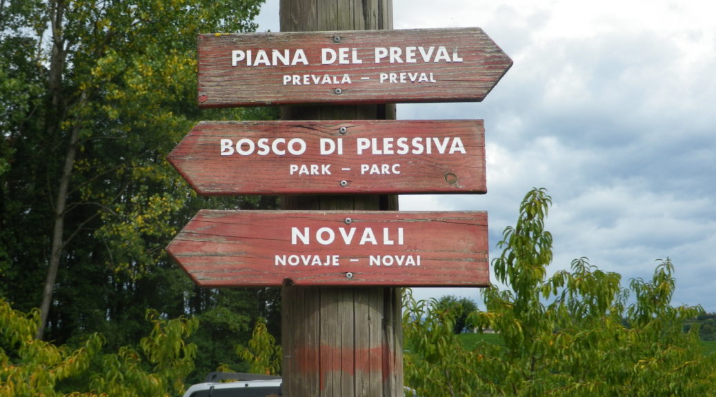
Friuli, in Northeastern Italy

Continue reading Cycling Through the Collio Vineyards

Gorizia a Cormons: Trail in a Nutshell


Trail Name: Gorizia a Cormons (AKA: Slow Collio, Un Paesaggio da Bere)

Trail Type: Short distance cycling circuit (with a short tail from Gorizia); about half on lightly travelled paved roads through and between towns, and half on improved earthen trails through countryside, mostly in a protected nature zone; well maintained, but the route itself is well-marked in places, but not in others.

Length: 23 kilometers/ 14.3 miles

Convenient to: Udine, Gorizia, Italy

Marking: FVG3 and Slow Collio.

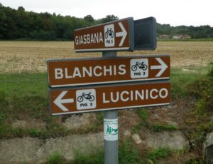
Signage For Part of the Trail

Continue reading Gorizia a Cormons: Trail in a Nutshell

The Other Rhone Vineyards


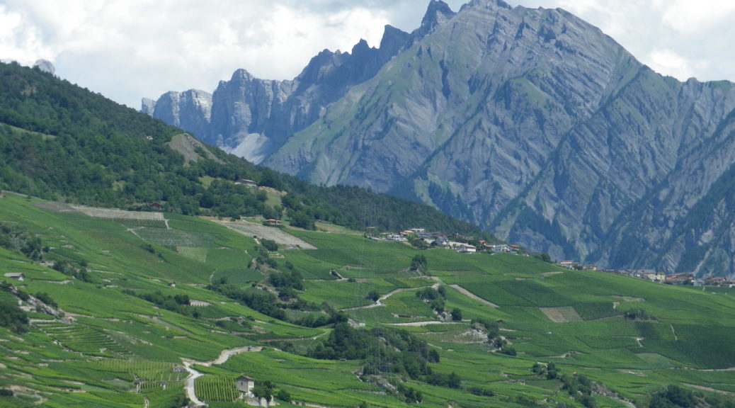
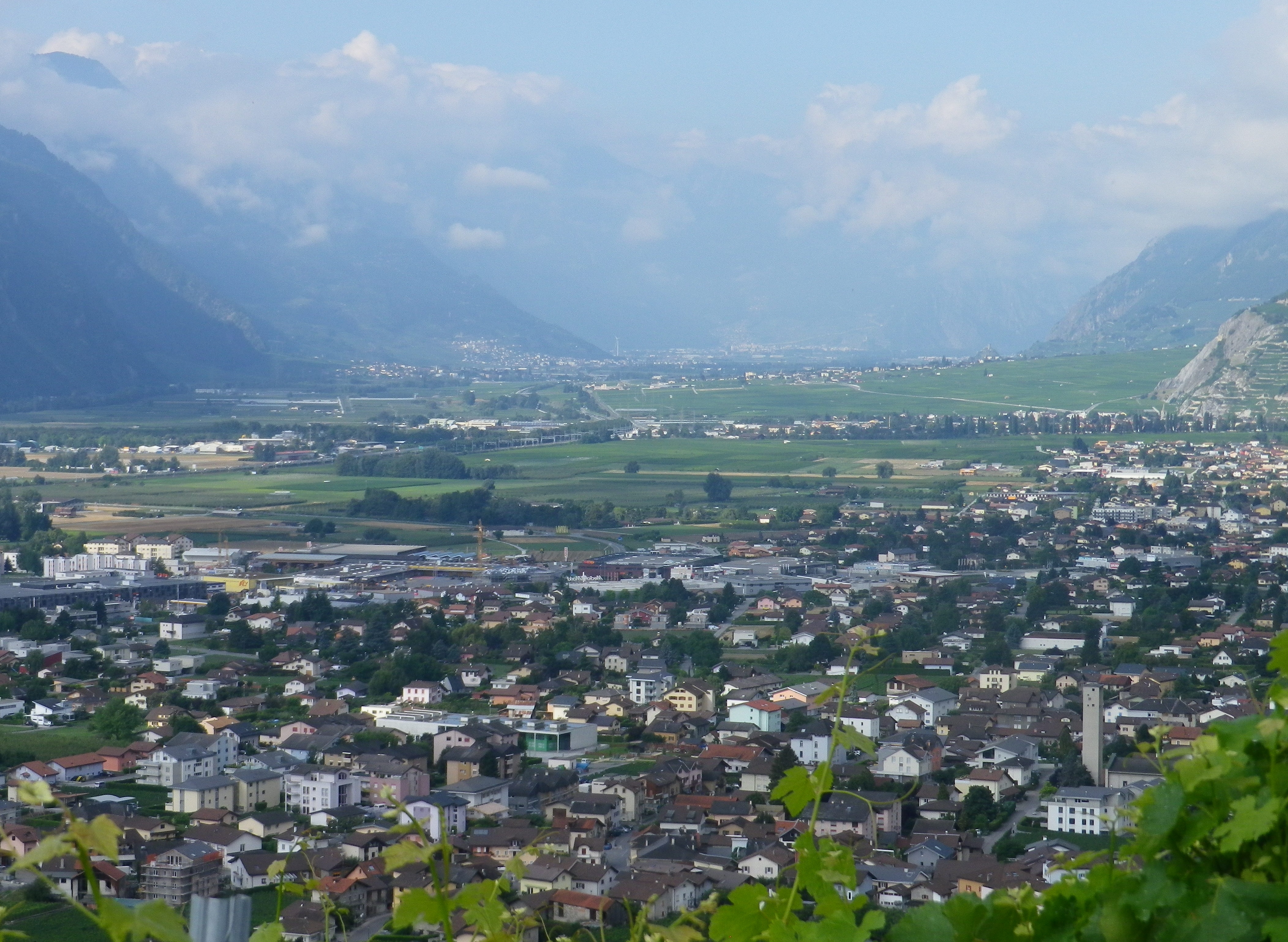
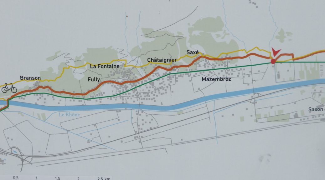
Rhone vineyards and their wines are famous throughout the world: Chateauneuf du Pape, Hermitage, Condrieu, Cote Rotie, etc. But the Rhone River begins in Switzerland, not France, and that was where I recently biked part of the Chemin du Vignoble, or the Trail of the Vineyards, following the Rhone River Valley vineyards in Switzerland’s French-speaking Canton of Valais.

The Rhone Valley

Continue reading The Other Rhone Vineyards

Chemin du Vignoble: Trail in a Nutshell


Trail Name: Chemin du Vignoble

Trail Type: Long distance, two-stage bike trail from Martigny to Leuk (aka Loeche), in the Valais Canton in Switzerland; well-maintained and almost exclusively paved, but marking on the trail can be problematic in places.

Length:

Total – 83 kilometers/ 51.5miles

Stage One – 36 kilometers/22.4 miles

Stage Two – 47 kilometers/29 miles

Convenient to: Martigny, Montreux, or Sion, Switzerland

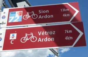
Marking: Red stylized grapes with 72 in white, on a blue square, on a red arrow.

Trail Signage

Continue reading Chemin du Vignoble: Trail in a Nutshell