Category Archives: Biking

Wein und Obst Tour: Trail in a Nutshell


Trail Name: Wein und Obst Tour (Wine and Fruit Tour)

Trail Type: Medium distance cycling circuit; much of it paved, well maintained in all but a couple of very small sections, good trail signage along most of the way.

Length: Total: 25.5 kilometers/16 miles

Convenient to: Ludwigsburg, or Heilbronn, Germany

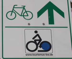
Marking: Blue lettering “Wein und Obst Tour”

Trail Description: A well laid-out cycling itinerary up and away from the Neckar River, while mostly on dedicated bike paths (or farming access lanes) through a variety of agricultural landscapes, as well as towns and villages. While not difficult, there are some hills, and a couple of long, unshaded stretches of trail, as well as the schnapps to watch out for!

Trailhead:

Official: Walheim: Intersection of Besigheimerstrasse and Hauptstrasse

Mine:  Kirchheim am Neckar: Hohensteinerstr (by the sports fields)

Parking:

Kirchheim am Neckar: Ludwig-Jahn-Str x Brunnenstr (Gemeindehalle) (Check for hours) or Ludwig-Jahn-Str x Hohensteinerstr (Sports field)

Erligheim: Schulstr (sports field)

Public Transportation Options:

Bus: Some towns are served by the Stuttgart RegioBus line, with regular service to Loechgau or Kirchheim am Neckar.

Rail: DeutscheBahn regional trains (Stuttgart to Heilbronn and vice versus) serve both Kirchheim and Walheim with several convenient options every day.

Suggested Stages:  Not applicable

Trail Itinerary-Reference Points:

Walheim: Haupstr-Heilbronnerstr, path along west side, then a specific crossing point to east side of tracks; follow along the river; Kirchheim am Neckar: Am Neckar, underpass, Hauptstr-Rathausstr, Bachmuehlweg-Talstr-path through fields; Hohenstein: Feldbrueckenstr-Kirchwiesenstr-Muehlstr-Mittlerestr, path to Hoffen: Neubergstr-Gutenbergstr, Sonnenhalde; Erligheim: Schulstr-Friedhofstr-Hauptstr-Talstr, Kuhaeckerstr, path (past Ferienwohnung am Weinberg, Habertsaustr (path), through woods; Freudental: Wolfsbergweg, Seestr, Kirchstr, Bietigheimerstr, path to Loechgau: Friedhofstr-Mauerstr-Grabenstr, Nonnengasse-Hauptstr, past the church, Neuestr-Kelterstr; fields and orchard paths past Baumbachhof, path along Baumbach creek; Walheim: Im der Eichhalde-Weinstr, Im Haiglen-Karlstr, rail underpass

Representative Trail Photos:
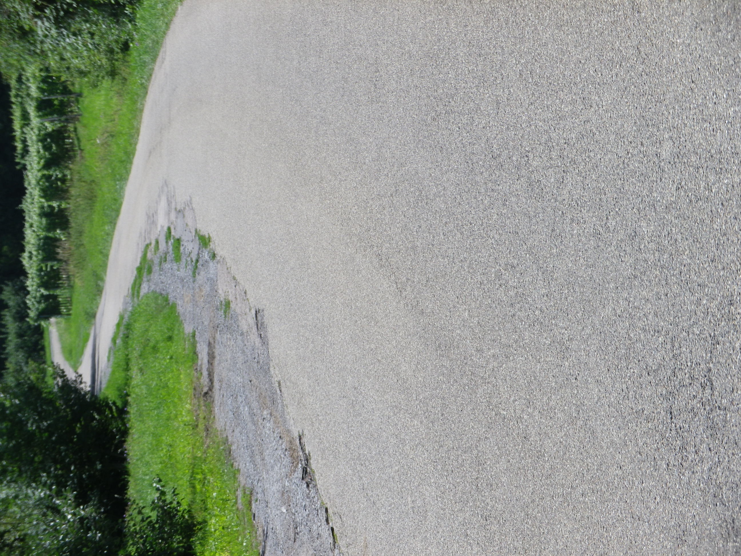
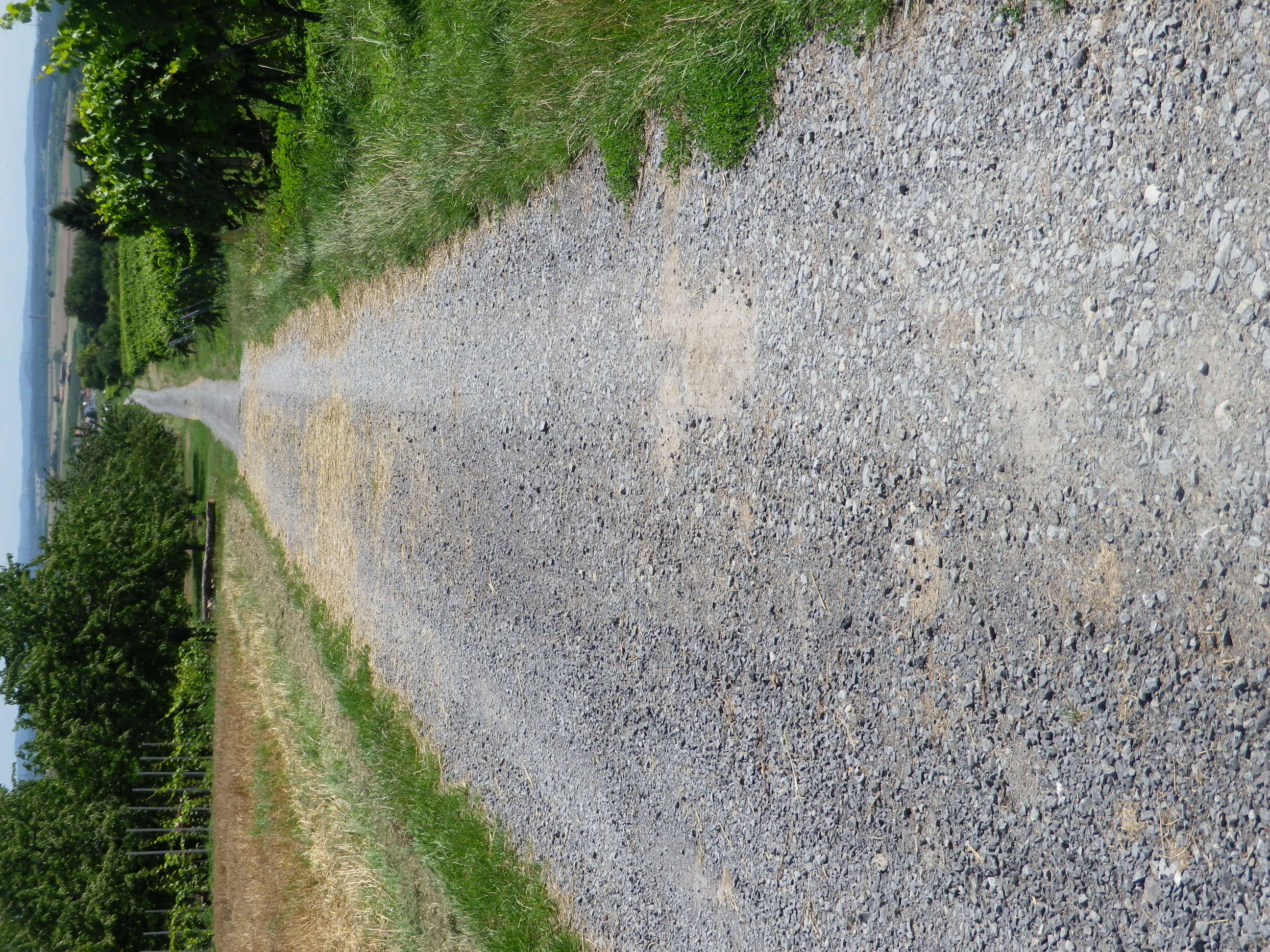
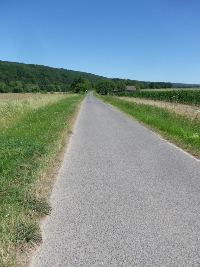
Representative Paved Trail Section


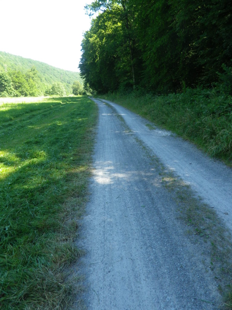
Sample of Unpaved Trail Section


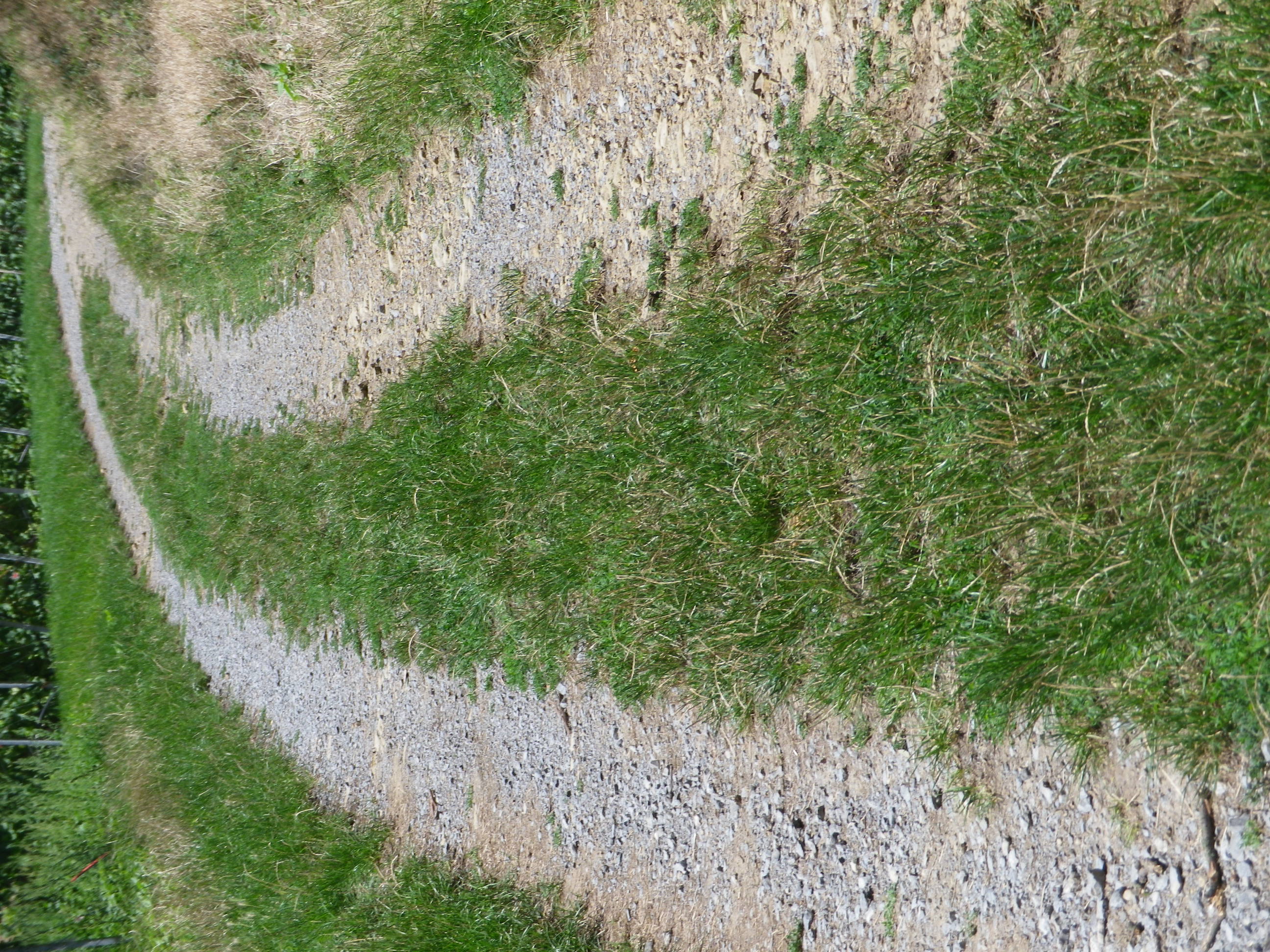
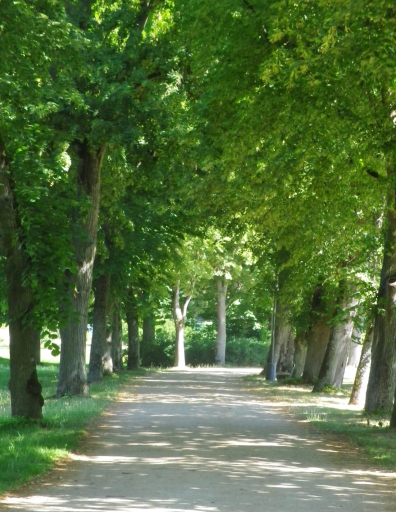
Small Section of Unimproved trail


Restrooms:

None observed!

Attractions on or near Trail:

Museum in der Stiftsscheuer, in nearby Mundelsheim, provides information about local viticulture, as well as other topics.

Several viewing areas are set up throughout the region to provide great scenic panoramas over the vines, and distant countryside, the closest to the trail being the Schoenste Weinsicht Besigheim, in Walheim.

While not wine related, the Schnaps Museum in Boennigheim, displays information about the alcoholic fruit beverage of schnapps.

Tasting along the Trail:

The WG Strombg Zabergau regional winery has an outlet in Boennigheim, and is a good place to obtain bottles of some of the regionally renowned named vineyard parcels such as Kirch-, Sonnen-, Lerchen- berg. While Erligheim has several individual family wineries such as Weinbau Reichert; Weingut Baehr; Weingut Schifferer and Weingut Mayer.

Alternative Options:

Hiking: From nearby Besigheim, hikers may choose one of a couple of half-day circuits developed by the Felsengartenkellerei (a local winery), with downloadable maps at https://www.felsengartenkellerei.de/credo.html . See a Nutshell of one of them here.

Biking:

The 96.4 kilometers (64 miles) Wuerttemberger Weinradweg Variante Stromberg im HeilbronnerLand circuit tour is a much longer, and more challenging tour through the towns and nature park area of Stromberg-Heuchelberg.

The 29 kilometer Land-Wein tour is a circuit tour beginning just south of Walheim in the picturesque town of Besigheim, follwong along and crossing the Neckar River a couple of times. It shares some of the Wein und Obst Tour itinerary in the flatter areas. (See the Marking photo above.)

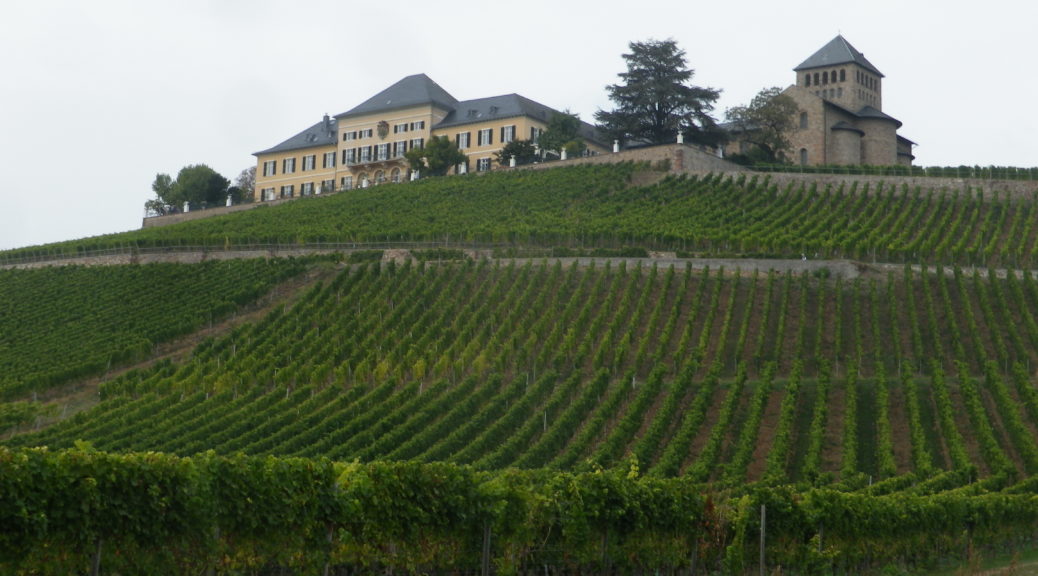
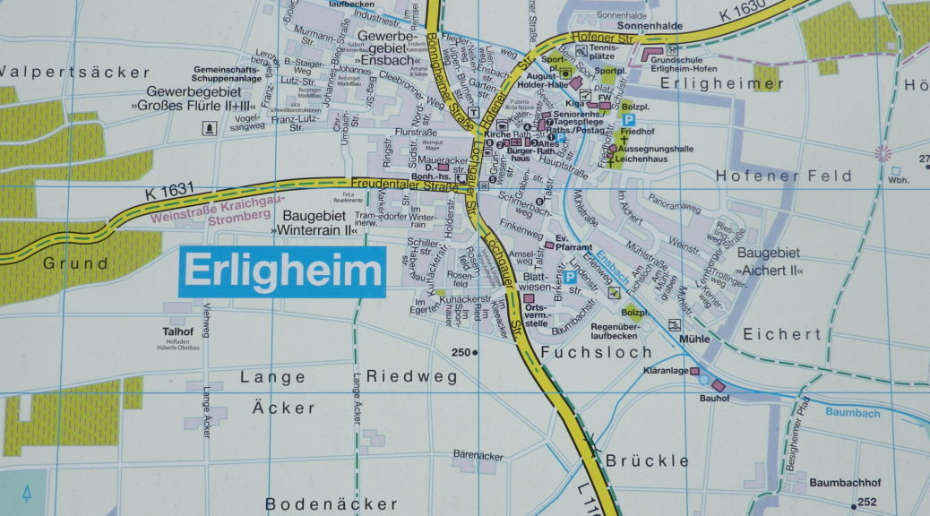
Car: The Wuerttembergische Weinstrasse car touring itinerary covers this territory, and more. The shorter Kraichgau-Stromberg Weinstrasse car touring itinerary covers a smaller district, heading primarily west from Erligheim. See featured photo above.

Additional Information:

Regional: https://www.3b-tourismus.de/  (The 3B stands for the three regional centers of Boennigheim, Besigheim and Bietigheim-Bissingen.)

Trail (segment) specific:

https://www.tourismus-bw.de/Media/Touren/Kraichgau-Stromberg-Wein-Obst-Tour

Comments:

A pleasant, half-day excursion, if you find yourself in the Stuttgart region and want to experience unspoilt Swabian countryside!
 

Days of Discovery in Aosta


Recently, I visited a quiet corner of Italy. That is almost a contradiction of terms nowadays, and rather difficult to find in the summer. Seeking a refuge from mass tourism, I came across a bike ride through vineyards in Aosta Valley. Since I had never been there, I decided to make the trip. What a trove of new discoveries of all sorts!

City of Aosta


In the first place, the culture is an intriguing mix of French and Italian. Secondly, nature puts on an incredible display of the compelling and pristine: from dramatic Alpine peaks, to well-preserved meadows, to clear, roaring streams. Then, there was the food, and of course the wines.

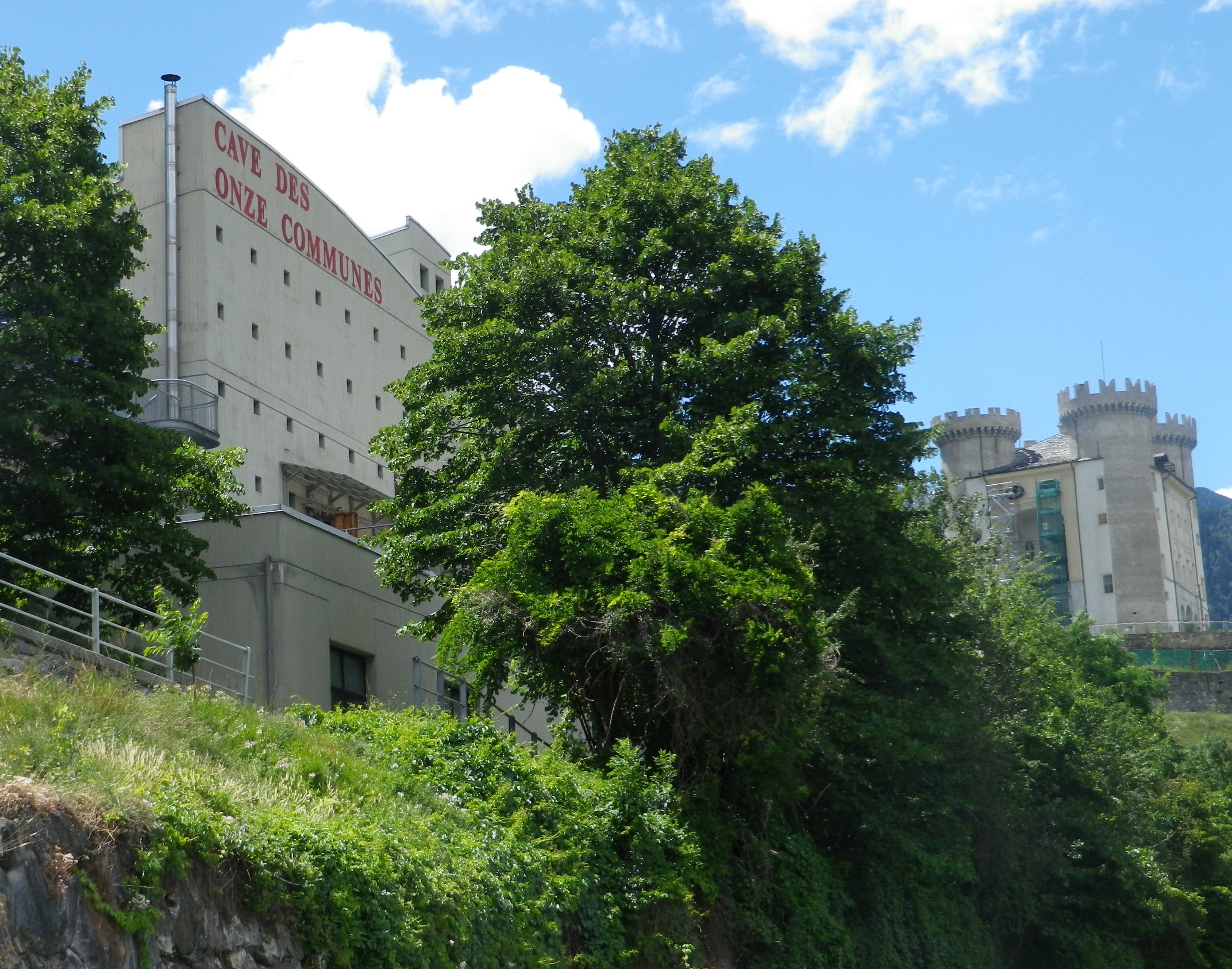
Personally, I had never seen, or seen offered, a bottle of Aostan wine. But this bike trail was designed to rectify that. There was a clear nexus between the trail design and promotion of the local wine. The trail was designed and promoted by the local wine cooperative, the Cave des Onze Communes, in the heart of Aymavilles, a small Aostan town clinging to a mountainside, dominated by a castle and surrounded by vines.

Aymavilles: Cave and Castle


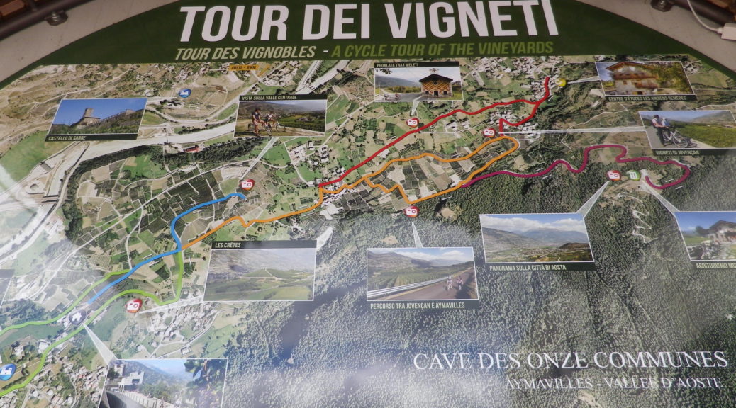
The trail, mostly on low-density/lightly-trafficked roads, either starts at the winery, or near it, or goes around it. There are actually six short segments of trail, three of which radiate from or near the winery. From there, where, and how far to go, is up to the rider.

To lengthen the ride, follow any or all of three other trails which extend from the original three. Circuits and loops may be created, and backtracking to the start is always possible, and in fact mandatory in places. However, at most there are only six miles or so of itinerary to follow, making this ideal for a quick ride.

Vineyards and Mount Blanc


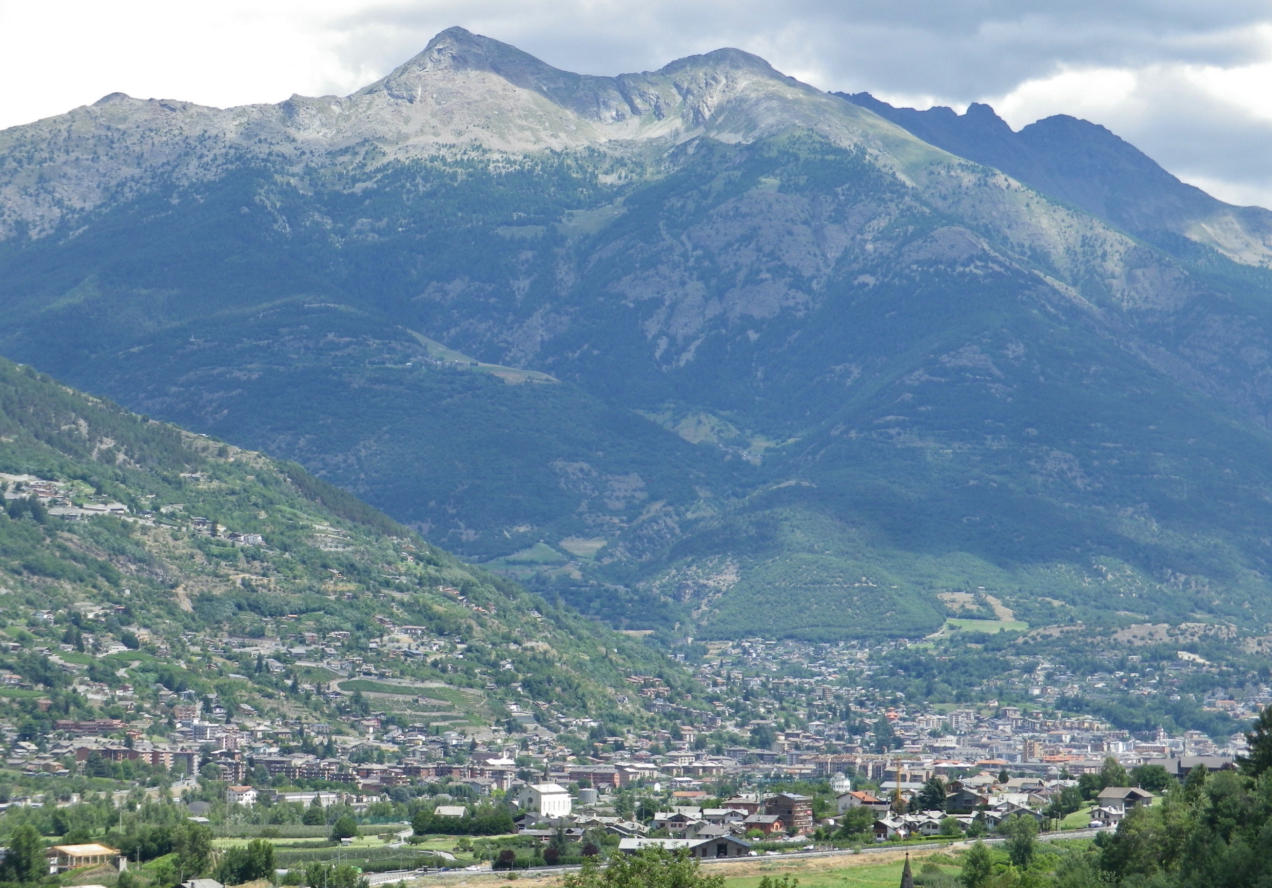
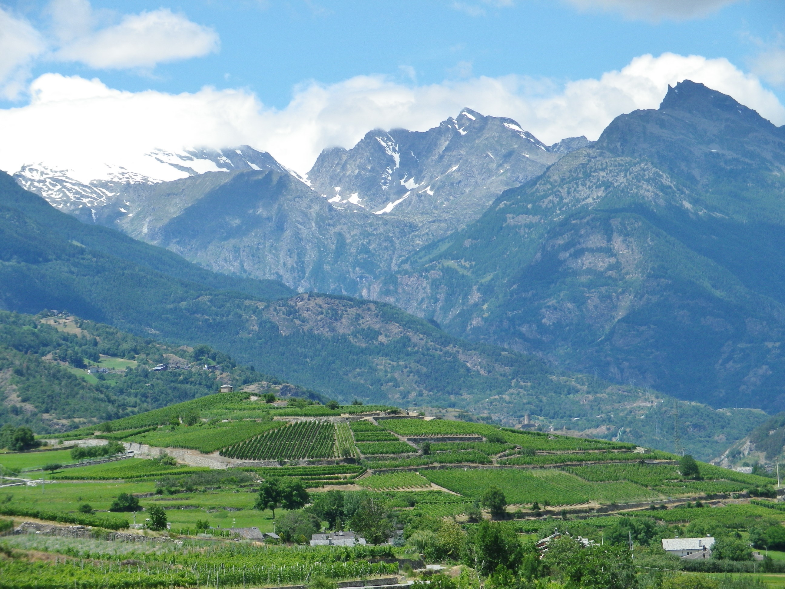
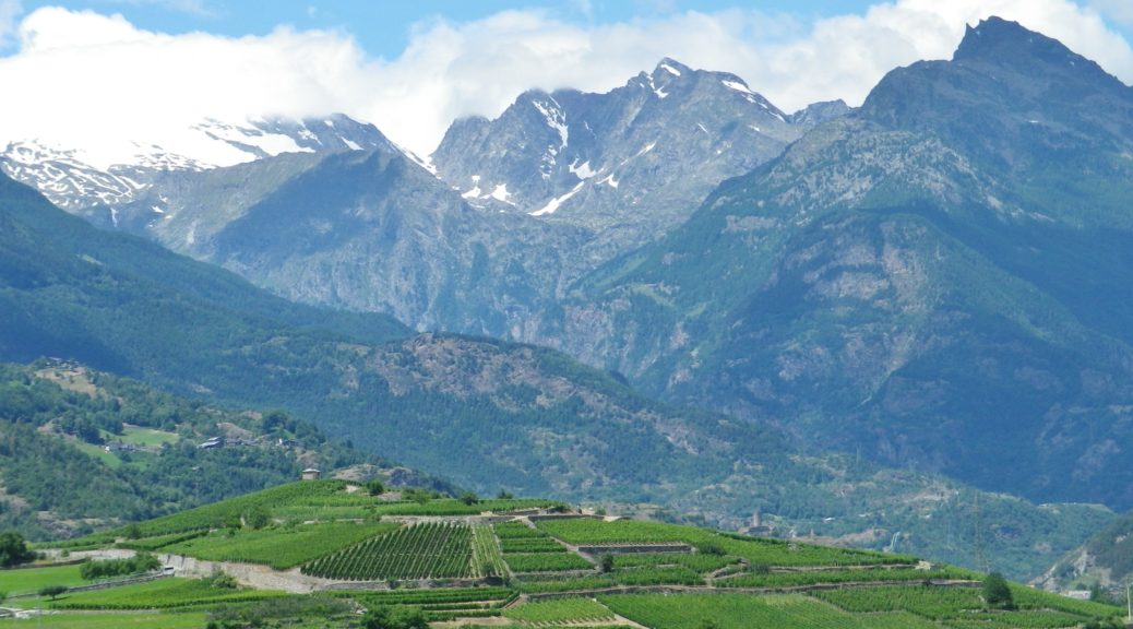
A lovely feature of this trail is the view. Mont Blanc, still topped with snow in July, is visible along part of the way, as is Aosta, the main city, in the opposite direction, further down the valley. The trail passes through vineyards, but also affords views of the vineyards on the other side of the valley. A seeming mirror image of the vineyards through which I cycled, these began low, and rose in a very irregular patchwork of vines to surprising heights on the mountains opposite. Above the vineyards were (mostly) pines, and above the tree line, rocky crags pierced the sky, in a brilliant blue on white contrast. Alternatively, those peaks would occasionally snag a cloud, and remained wreathed for a while in a soft white puff.

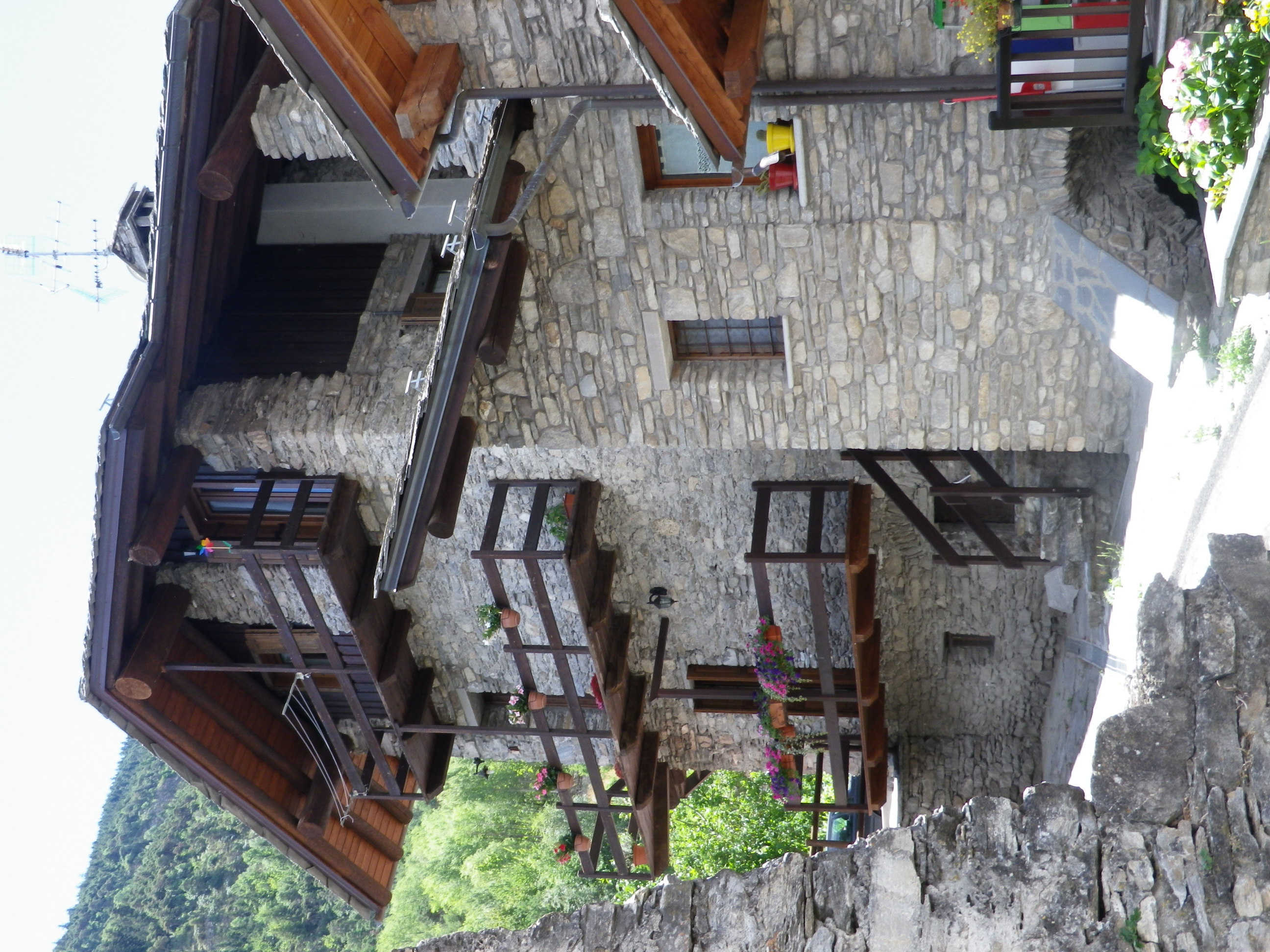
Castles were visible now and again, barely registering against the backdrop of such massive mountains. This area was conquered and held by many, from Romans to the House of Savoy, before joining the newly formed Italy in the mid-nineteenth century. However the old churches and houses, with steep rooves and deep overhangs, recall that the worst enemy in this part was, and still can be, the weather.

Deep and Steep Eaves


Once back at the winery though, I learned that this area boasts a fair number of local grape varieties, which do well in cold weather, and are more frost-resistant than most. What is more, the varietal wines from the cooperative are delicious, smooth, and quite reasonably priced. Unique grapes and different delicious wines: the best discovery of all!


Tour dei Vigneti: Trail in a Nutshell


Trail Name: Tour dei Vigneti

Trail Type: Short to medium distance; almost exclusively paved, well maintained, but the route itself is not always marked.

Length:

Segments – 1.5, 3.5, 5, 5.5, 8 and 10 kilometers/6 miles

Total – Variable, depending on trail segments taken

Convenient to: Aosta, Italy

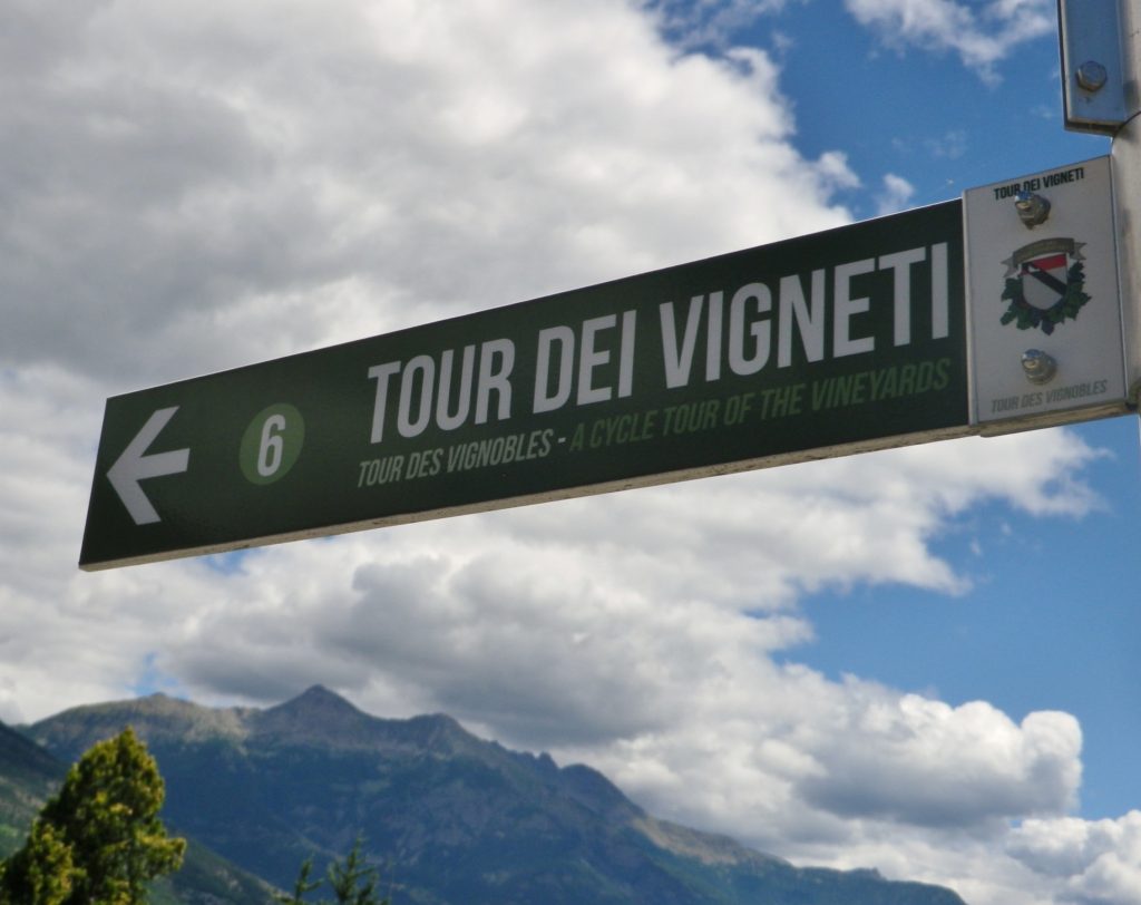
Marking: Green rectangular Sign with white lettering “Tour dei Vigneti” and a number

Sign: Tour dei Vigneti


Trail Description: A series of short, one-way routes along dirt paths or little-traveled roads covering the village of Aymavilles and nearby hamlets. The numbered routes range from easy (most segments) to difficult, and may be combined according to time and/or ability, and to form circuits.

Trailhead: Cave des Onze Communes, Frazione Micheley, Aymavilles

Parking:

Aymavilles –

Small lot along SR47, just south of the Old Grizzly Café, and another lot further up the road between the roads Micheley and Urbains

In Frazione Vecellod, along street of the same name, just after the sign for the road to Aosta.

Pompoid – by the playground/sports field (basketball and soccer)

Public Transportation Options:

Bus: Societa Valdostana Autoservizi Pubblici (SVAP) Aosta-Cogne line, services Aymavilles from Aosta

Rail: No rail service to Aymavilles. (The closest rail station is in St. Pierre, about 4 kilometers distant.)

Suggested Stages:

This is a series of linked trails, branching off from one another, therefore you can choose which segments you want to do, for a total of about 10 kilometers

Trail Itinerary-Reference Points:

Aymavilles: Frazione Micheley, behind small mount and return, Frazione Pompiod; Pompiod: through village center, past soccer and basketball court, through fields; Jovencan: Frazione Adams, Frazione Pinga, Frazione Jobel, retrace partly; head to Agriturismo Mont Rosset, retrace; Pompiod: through fields and vineyards; Pompiod: retrace trail to small mount to the wine cooperative, but head south on Frazione Urbains, then Franzione Micheley around the castle; return to start.

Representative Trail Photos:

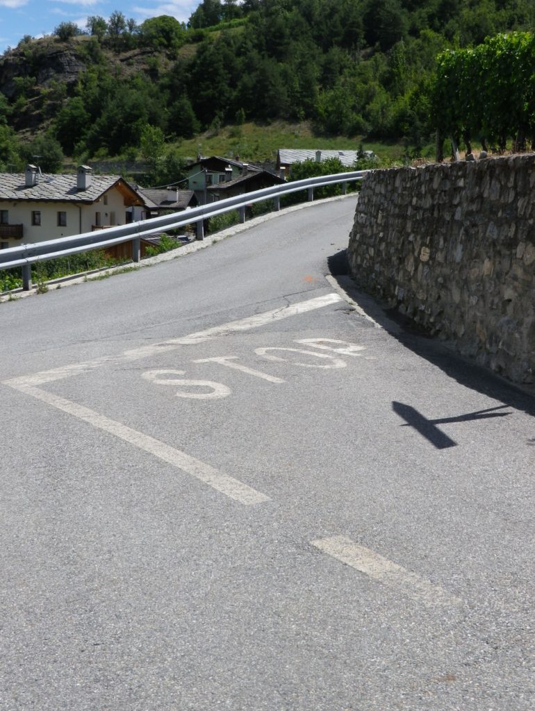
Trail Section along Lanes


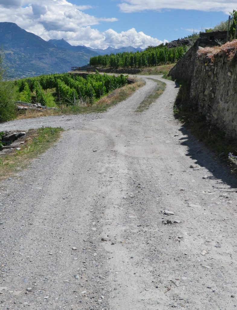
Non-Asphalted Trail Section


Restrooms: Aymavilles – on the lower part of SR 47 x Frazione Chef Lieu, by the church clock tower

Attractions on or near Trail:

Tasting along the Trail:

In Aymavilles, both Cave des Onze Communes and Les Cretes Viticoltori are open most days for visitors, morning and afternoon.

Alternative Options:

Hiking: Vignes et Terroirs vineyards series trails; a short circuit starts in Aymavilles.

Car: Routes de Vins Valle d’Aoste, a series of five short routes totaling about 130 kilometers, almost interlocking, covering the Aosta Valley wine producing areas.

Additional Information:

Regional: http://www.lovevda.it/en

Trail (segment) specific: http://www.caveonzecommunes.it/tour-dei-vigneti/

Comments:

The Aymavilles wine-making community designed this system of cycling itineraries for E-Bikes, which along with regular bicycles, may be rented locally. While mountain bikes are not necessary, sturdy tires are, as parts of the trail are not on asphalt! (See the photos above.)

Obviously a very short ride, but its several variations adds to its attraction. Any number of variations could prove feasible to families with tweens and teens looking for a late afternoon’s diversion; and for an early morning constitutional!


Franconian Interlude


The Fraenkische Saale, a river flowing from near the Bavaria-Thüringen border to the Main River by Gemuenden am Main, is a jewel. Its quiet, gently flowing waters, offer low-key activities for families and friends along its shores, and on its waters, from hiking and biking to canoeing and rafting. This is an area famed for rest and relaxation, and there are several well-known spa towns along the river. From Bad Koenigshofen near its headwaters to Bad Neustadt, Bad Bocklet and Bad Kissingen, all are on the Fraenkische Saale as it heads to the Main. While the Main River is extremely well-known for its vineyards and wine, the Fraenkische Saale, connecting the wine districts of the Maindreieck and the Mainviereck, doesn’t do too badly either in that regard.

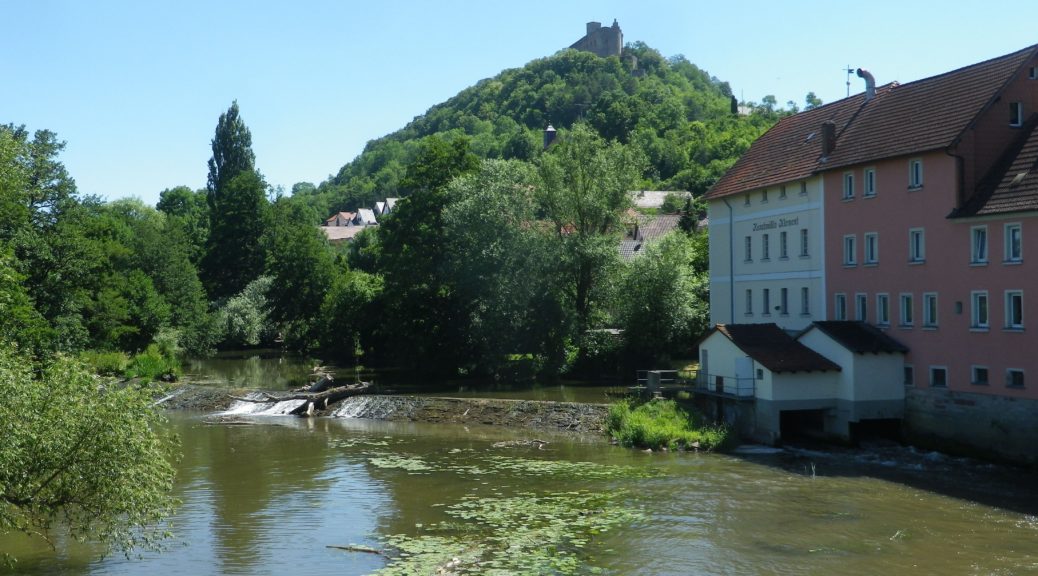
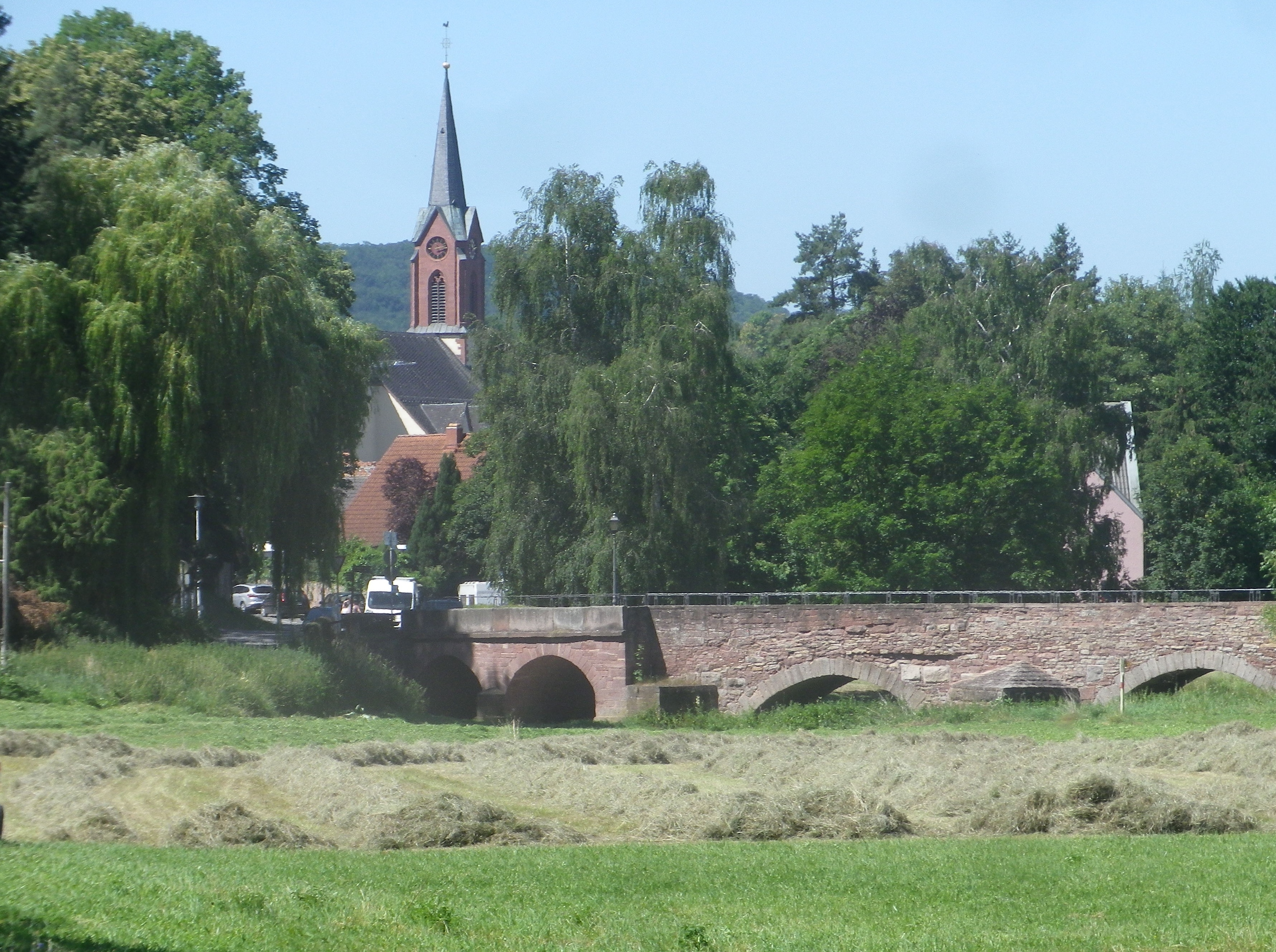
Fraenkische Saale: From the Trail


Part of the attraction for me was the opportunity to cycle along yet another river bicycle trail. Germany seems to excel in developing these trails, and the Fraenkische Saale Radweg (Bike Trail) was just another example of excellence in riverside cycling trails. The other part of the attraction for me was the chance to explore the terroir and the wines in relatively unknown wine corner of Franconia.

Euerdorf: Bridging the River


The Fraenkische Saale Radweg is about 125 kilometers, but the vineyards, Franconia’s and by extension Bavaria’s, concentrate in a short 28-kilometer-long stretch of the river and its side valleys. This made exploring them relatively easy work on a weekend. Hence, I decided to begin at Bad Kissingen, the northern and eastern-most point of my ride, one fine morning.

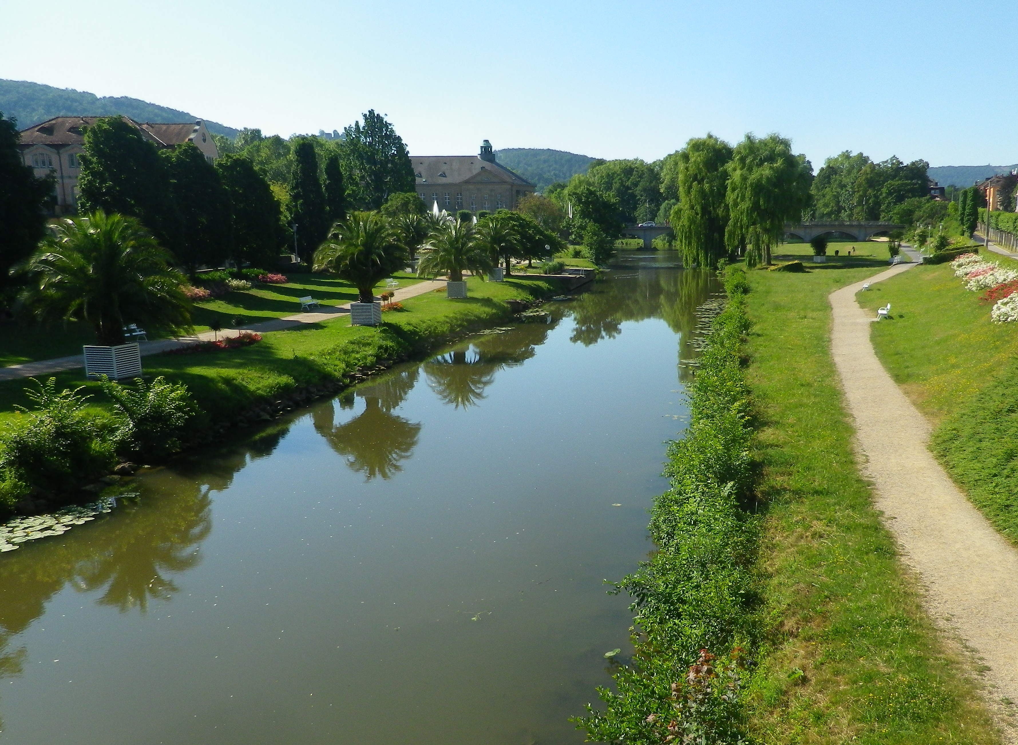
Bad Kissingen: Riverside Trails


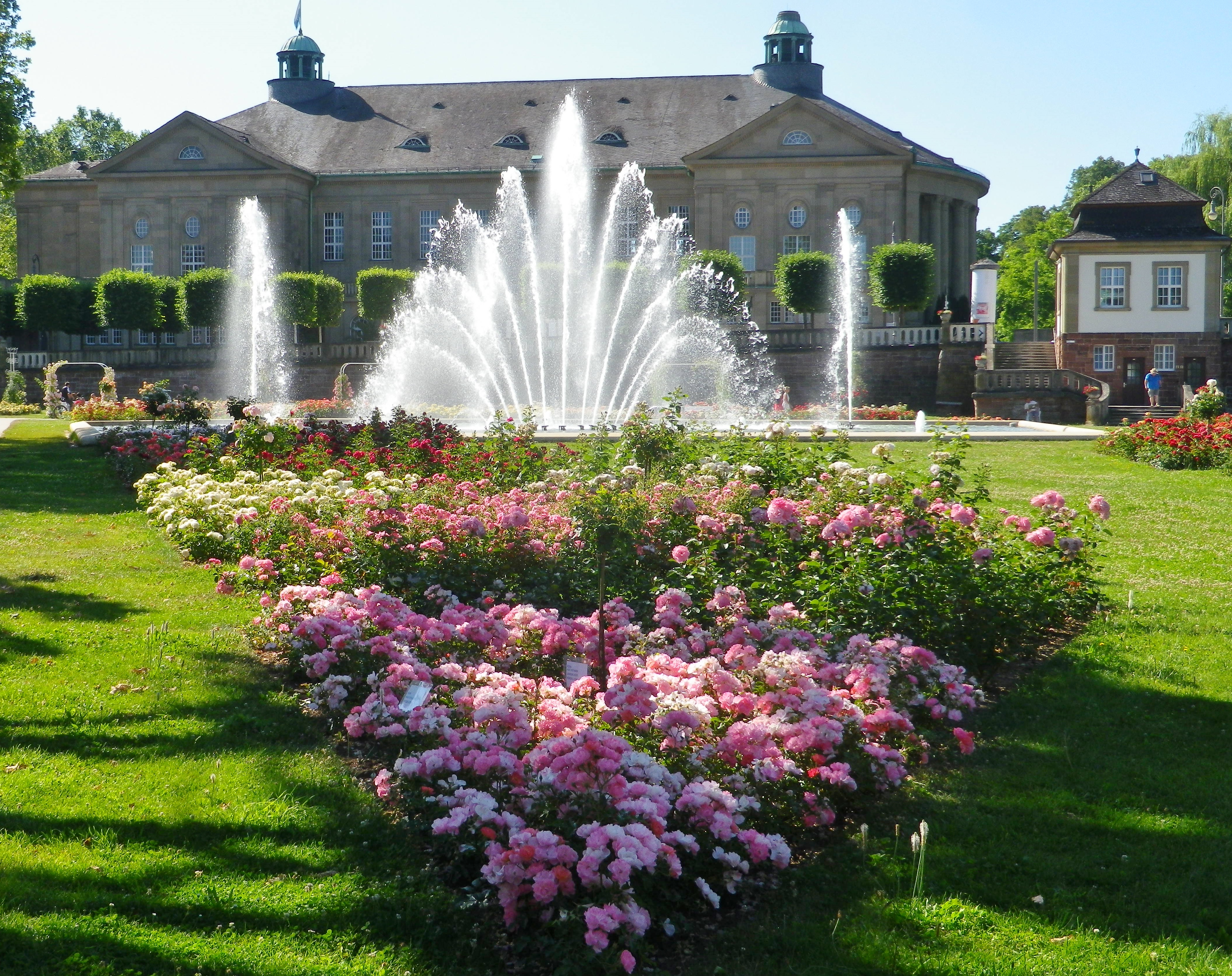
As a spa town, Bad Kissingen has a great variety of dining and lodging options to choose from. In addition, it is a lovely small town, with stately green spaces filled with  curving paths along the river. The buildings are classic “German spa” and there is almost always something to attend, be it art exhibits, local festivals, or open-air concerts. I found it an excellent town to stage from, especially as the trail wove through its classic parks and gardens as it passed through town.

Bad Kissingen: Public Gardens


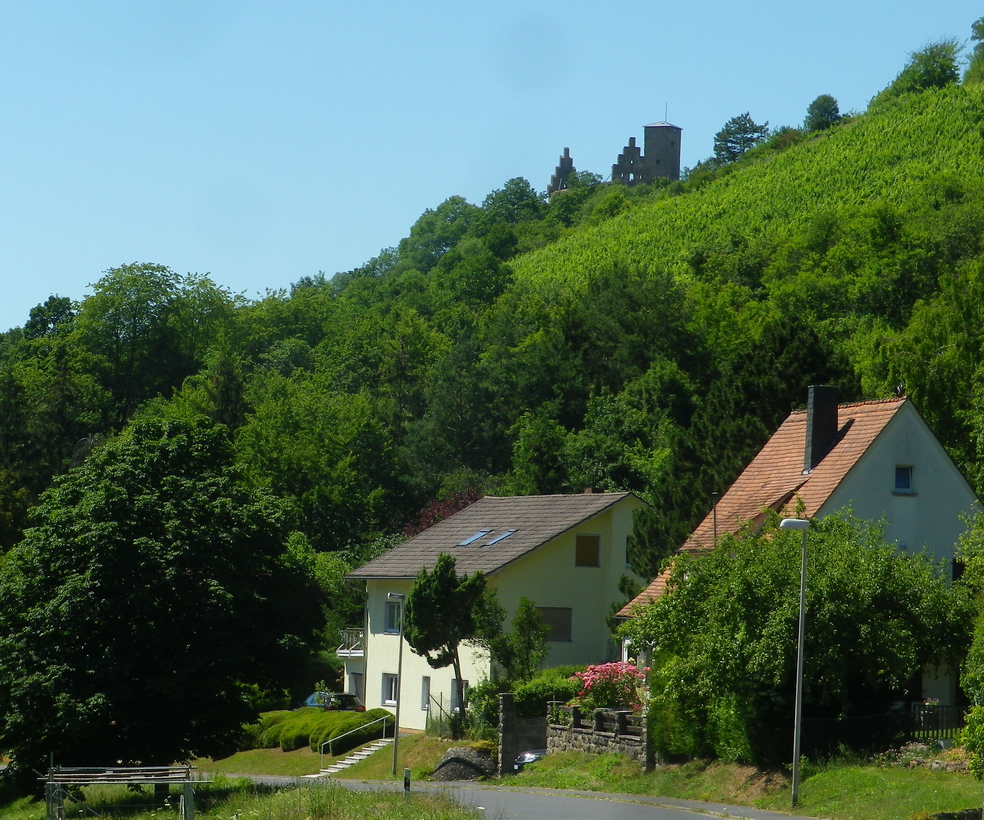
Once out of town, the trail led for a few kilometers through woods, then along fields bordering the river to Euerdorf. It proved a quiet interlude, with just nature for company. South of the Euerdorf the vineyards of Ramsthal begin.

Ramsthal Vineyards


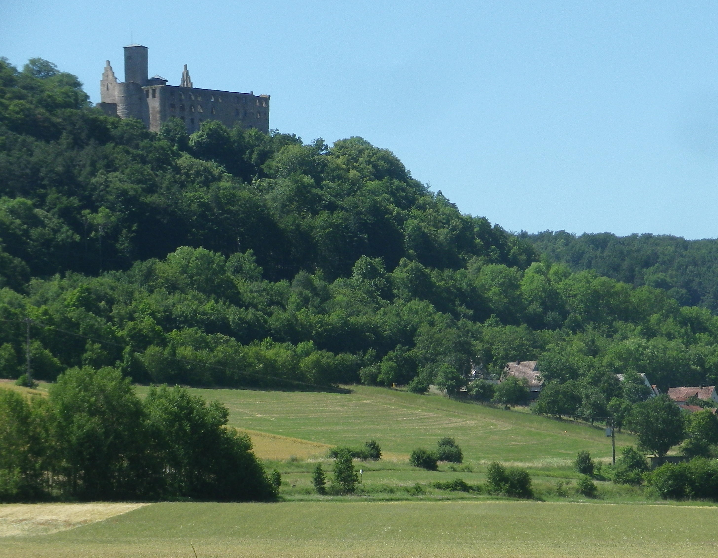
The river really does twist and turn. At Trimberg, there are more vineyards, and a castle ruin came into view. Here I crossed the river first time since leaving Bad Kissingen. But henceforth, the trail was constantly crossing the Fraenkische Saale on a series of well-maintained bridges, providing plenty of opportunities to photograph the picturesque little river. While this left me without a clear sense of where I was after so many river crossings, I was never lost, as the trail was so well marked.

Trimberg Castle


Before I knew it, I rode into Hammelburg, center for viticulture in this area. This town has a history of wine making which goes back centuries, in part due to the old abbeys. The vineyards on the hills loom over the town to the north. To the west lie the final vineyards of this wine-producing area of northern Franconia. They are in the hills above the city districts of Obereschenbach and Untereschenbach , my end destination, which was between the two sets of vineyards. While they are overseen by another picturesque castle ruin, they are not overlooked by lovers of Franconian wine!

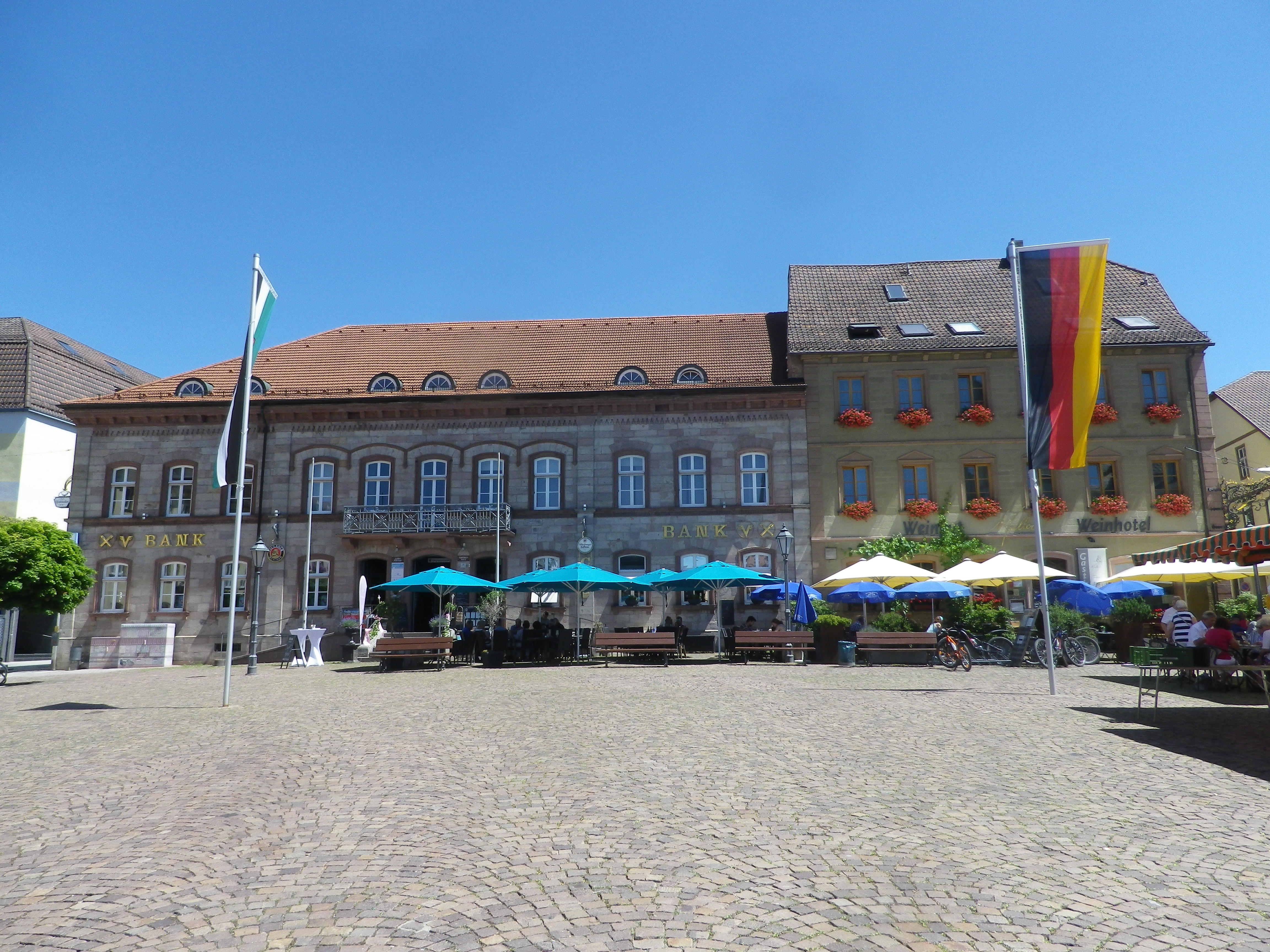
Hammelburg: Marktplatz

Radwanderweg Fraenkische Saale: Trail in a Nutshell


Trail Name:  Radwanderweg Fraenkische Saale

Trail Type: Long distance bicycle trail (much of it dedicated bicycle trail); well-maintained and diverse surfaces from paved to crushed stone, fairly good marking along the trail.

Length:

Total – circa 127 kilometers/79 miles

My Stage: circa 28 kilometers (See Comments below)

Convenient to: Bad Kissingen, Gmuenden, Franconia, Germany

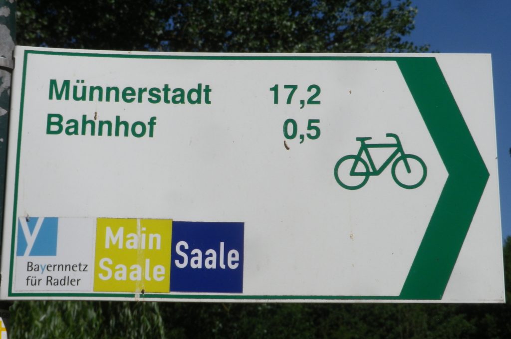
Marking: Blue background with white letters “Saale”

Sample Signage along the Trail


Trail Description: Fairly flat, with the inclines due to small spurs of more distant ridges, this quiet trail indeed follows mostly along the river, and through some of the riverside towns and villages, which make for great stops along the way.

Trailheads:

All Stages: -Trappstadt-Alsleben // Gmuenden am Main

My Stage: Bad Kissingen,  In der Au x Bismarkstr // Diebach, Reuthweg

Parking (My stage only):

Bad Kissingen:

In der Au, dozens of perpendicular parking spaces along the lane; Costs one Euro per day/Four Euros for the week.

Maxstr, Parkplatz Tattersall is a large, improved lot, but costs more per day.

Diebach: Obertor, large unimproved area in a field (by parking sign at the eastern edge of town)

Public Transportation Options:

Rail: DeutscheBahn serves Hammelburg and Bad Kissingen with small stations in most of the towns mentioned in the trail itinerary below.

Bus: HOB Bus lines 8165, 8141

Suggested Stages: Not applicable for my stage

Trail Itinerary-Reference Points: (My stage only – heading downriver)

Bad Kissingen: Bismarkstr, Lindesmuhlpromenade (an alternate path through the park), Oskar von Miller Str, Im Lindes, past water treatment plant, parallel Iringstr; into forest, along the river, cross the Lollbach, parallels B287; Euerdorf: Ringstr, Kissingerstr, Gerbergasse, path along the river, parallel Auraerstr, Ara: Hauptstr, Trimbergerweg; Trimberg: Quellenstr, Hugo-von-Trimberg-Str-Brueckenstr; Elfershausen: Pass Elfershausen-Trimberg train station, August-Ullrich-Str, Marktstr, Langendorfer Str, cross river; Pass under A7, parallel river; Langendorf: Hauptstr, Westheimerstr, cross river; Westheim: Grenzstr, path left to cross river (two times in about 500 meters); Hammelburg: Pass Hammelburg Ost train station, An der Walkmuehle, Kissinger Str, straight at circle, continue, Am Marktplatz, Bahnhofstr,  Saaletalstr, then cross tracks and follow parallel path;

Representative Trail Photos:

Sample of Non-Asphalted Trail Surface
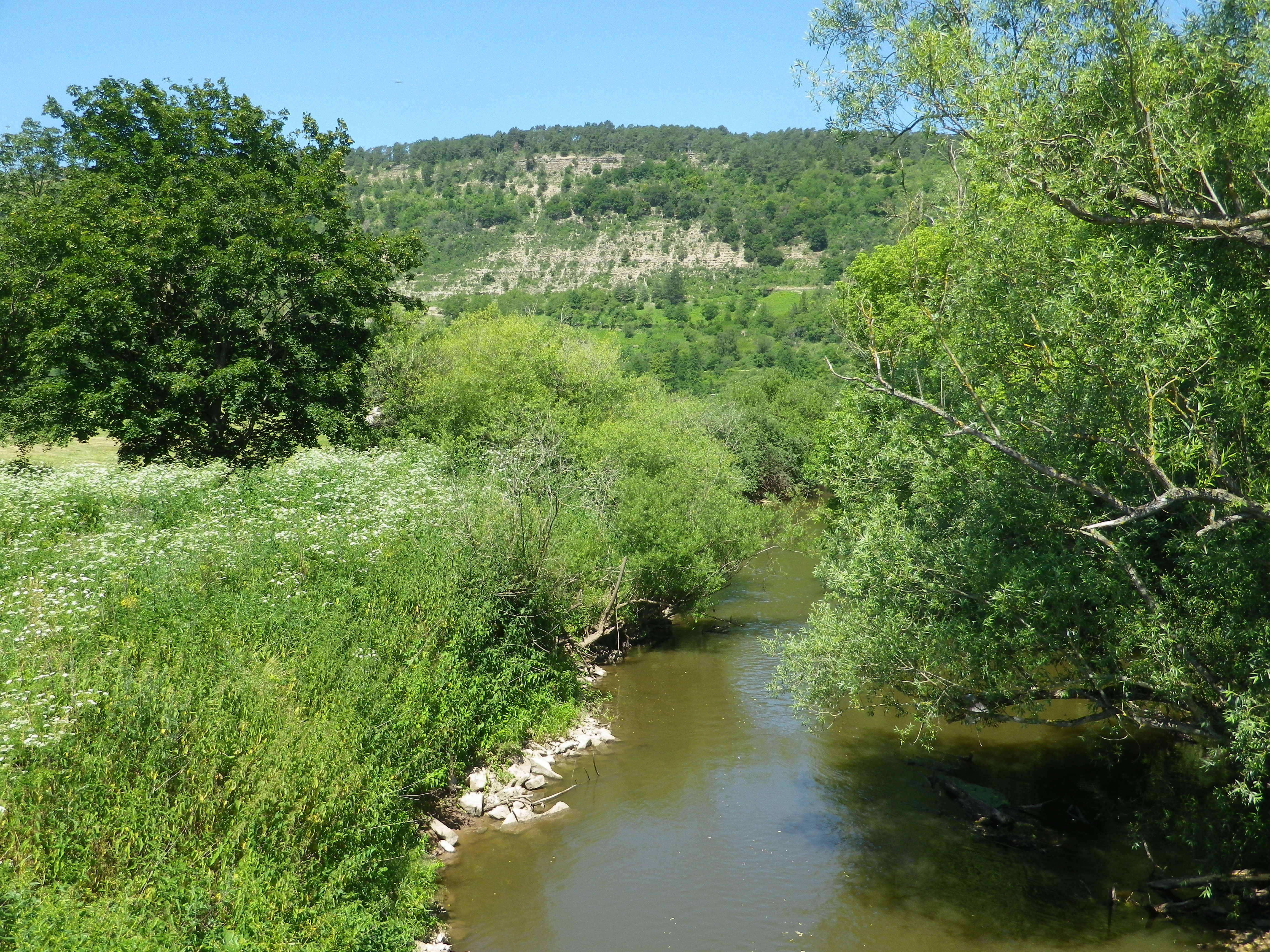
Representative Section of Trail and Surface
Section of Trail in Bad Kissingen


Restrooms (My stage only):

Bad Kissingen: Am Kurgarten, in the Arkadenbau (arcaded building)

Elfershausen: Schlossstr x Marktstr, at the Community Center, in an outbuilding facing the courtyard

Hammelburg: Marktplatz, on the side of the Rathaus

Attractions on or near Trail (My stage only):

Hammelburg:

Kellereischloss: Historic wine cellar, with wines on offer weekly, usually Friday evenings

Museum Herrenmuehle details the history of wine-making in this area, and with its other emphasis on bread-making, from grain to final product. A recent new exhibition combines these two items under the theme: Bread and Wine.

Tasting along the Trail (My stage only):

Hammelburg: Weingut/Hotel/Restaurant Mueller; Weingut Schloss Saaleck, Kellereischloss (see above), right on the trail; several small wineries on the outskirts of town

Ramsthal: A couple of wineries in town. (Ramsthal is about  three kilometers from the river trail.)

Bad Kissingen: No wineries, but lots of wine taverns and local wine selections at the many restaurants.

Alternative Options (My stage (and wine-themed) only):

Hiking:

Rundweg Hammelburg 9: A seven-kilometer trail beginning in Hammelburg, passing in about equal parts through vineyards and forest, with beautiful views all around.

Wein und Stein trail, from Euerdorf to Bad Kissingen, a 12 kilometer-long, signposted trail of medium difficulty. See details in regional link below.

Ramsthal: The Ramsthal Weinerlebniswege: Three circuits around the town’s vine-bearing hills, ranging from the three kilometers-long Bacchus Rundweg, to the Schoppen Rundweg at 7.2 kilometers in length.

Additional Information:

Regional: https://www.frankens-saalestueck.de/weinland-franken/frankenwein-urlaub/index.html

Trail specific:

http://bay-rad.de/gpxrw/BfR_Radwanderweg_Fraenkische_Saale.gpx

Downriver only from Elfershausen to Hammelburg and Gemuenden am Main:

https://www.outdooractive.com/de/route/radtour/rhoen/fraenkische-saale-von-elfershausen-nach-gemuenden/101939808/#dm=1

Comments:

The trail along the Fraenkische Saale is long, but I focused only on the vineyard part of it: from south of Bad Kissingen to just west of Hammelburg (Stadtteil Untereschenbach).

This trail connects with the Main Radweg, the Main River Bicycle Trail, leading to the Rhine by Mainz, from which point it is possible to follow the Rhine Bicycle Trail. For details on part of each trail, see the Rhine Nutshell here, and the Main Nutshell here.

 Wein & Wald Runde: Trail in a Nutshell


Trail Name:  Wein & Wald Runde (Wine and Woods Circuit) (AKA: SB3)

Trail Type: Mid-distance cycling itinerary circuit; well-maintained, with much of it paved, and well-marked, along most of the itinerary route

Length:

Total – 28 kilometers/17.4 miles

Convenient to: Heilbronn, Germany

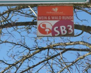
Marking: SB3 and trail name letters in white on a colorful square metal sign

SB3 Wein & Wald Runde Sign

Continue reading  Wein & Wald Runde: Trail in a Nutshell

Riding Through Riesling


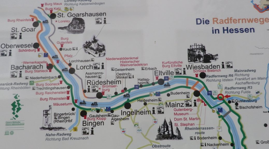
After having hiked through the steep and forested slopes of the Mittelrhein, I continued my tour of the Rheingau wine region’s vineyards by bicycle. At Ruedesheim, I left the Rheingauer Riesling-pfad (see here), and hopped on a bike following the Rheingauer Riesling Route. The two trails cover the Rheingau vineyard area, but following somewhat different routes.

I was immediately struck by how different the wine area upriver from Ruedesheim is from that downriver of it. Upriver from Ruedesheim, the world heritage site of the “Mittelrhein” ends. The obvious difference is that the river suddenly opens up again. The narrow chasm defining the romantic middle Rhine with its vertiginously steep slopes disappears, replaced by gentler vine-bearing slopes. Cities soon replace quaint villages, and the river takes on a more business-like aspect, industry, ports for shipping, and riverside loading facilities.

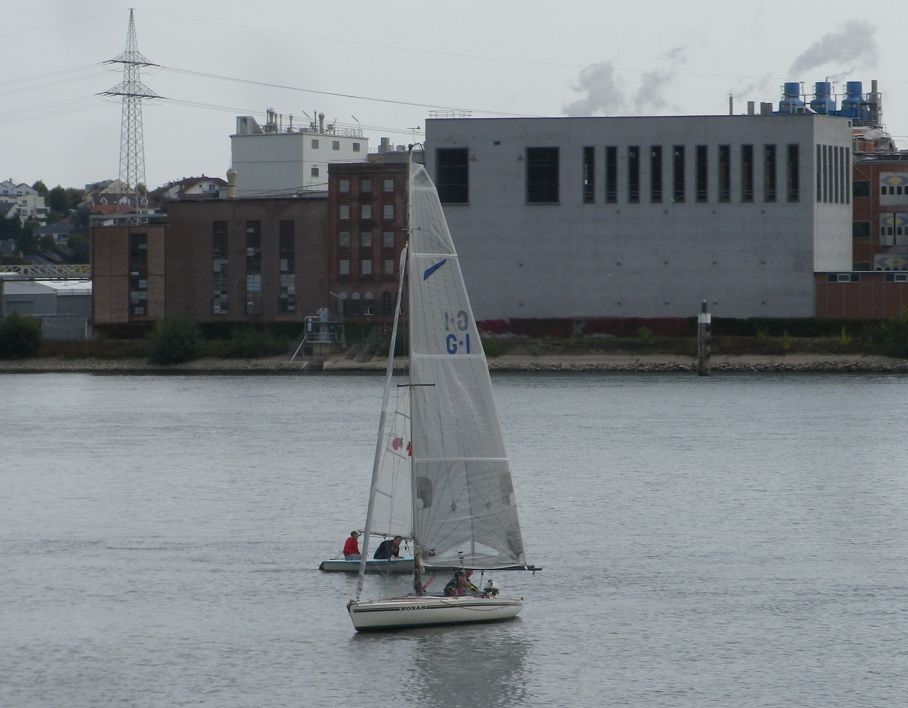
The Rhine: From Wiesbaden to Mainz

Continue reading Riding Through Riesling

Rheingauer Riesling Route: Trail in a Nutshell


Trail Name: Rheingauer Riesling Route

Trail Type: Long distance trail; almost exclusively paved, well maintained; the route itself is marked in part with the wine glass marking (see below), and other parts are marked with an R3.

Length:

Total: 62 kilometers/38.5 miles (Kaub to Floersheim)

Segment: 49 kilometers/30.5 miles (Ruedesheim to Floersheim)

Convenient to: Wiesbaden, or Mainz, Germany

Marking:

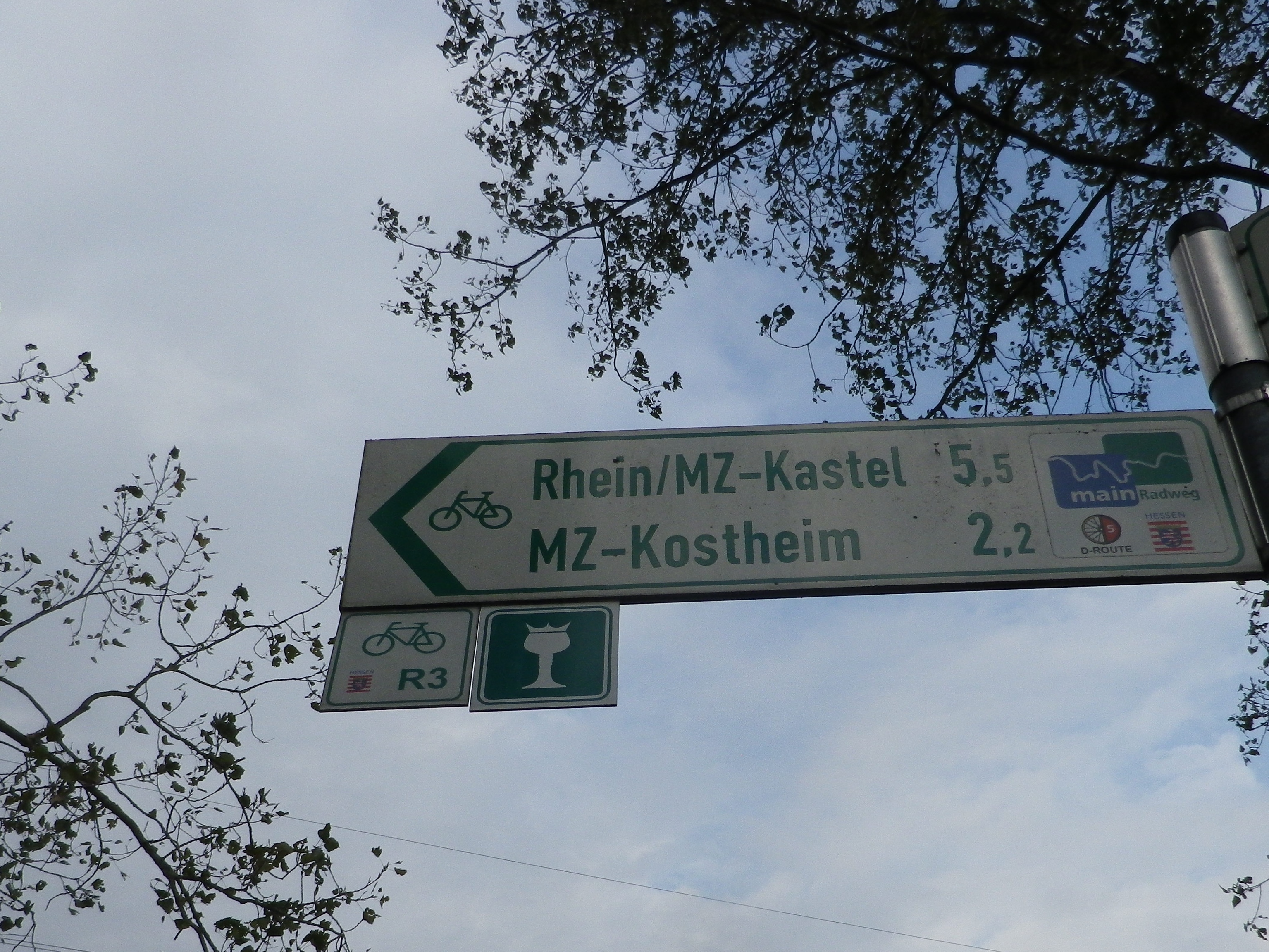
White wine glass with a crown on a green background; Alternatively: R3 and R3a (variant to Kloster Eberbach). Where the icon marking is not easily found, follow the R3 or R3a signs.

Signage for Various Cycling Trails

Continue reading Rheingauer Riesling Route: Trail in a Nutshell

Bodensee Biking


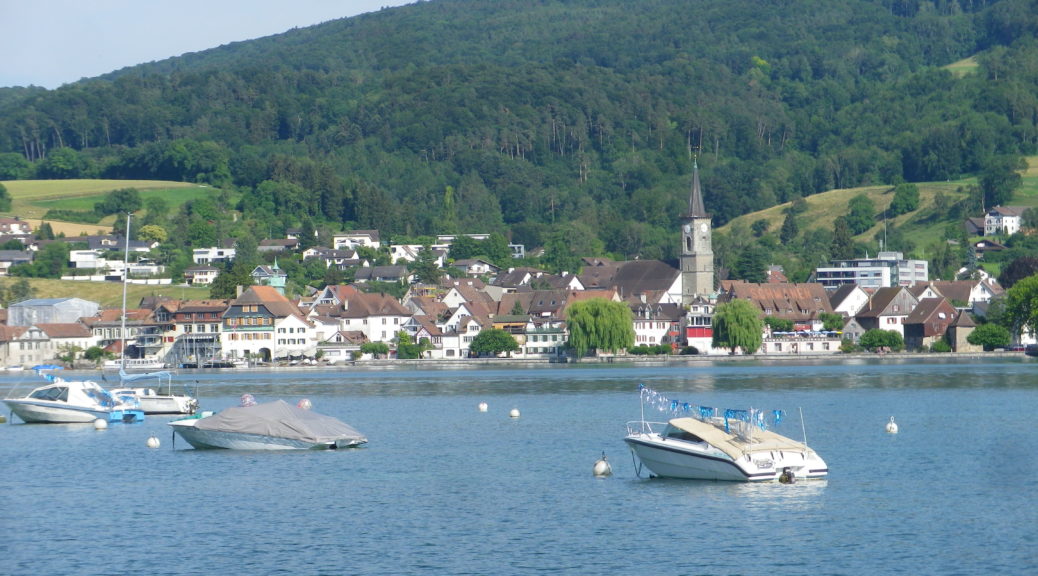
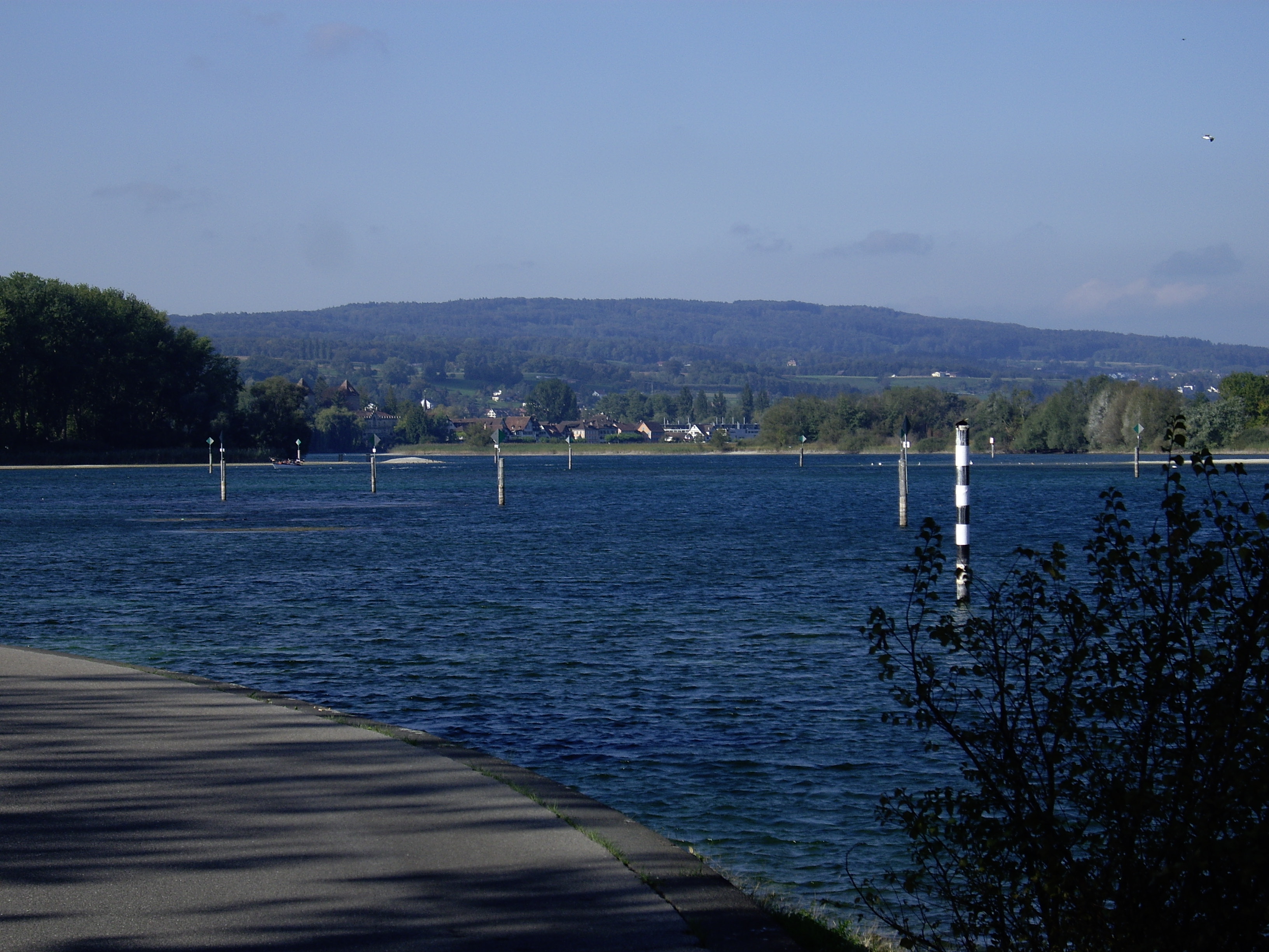
The Bodensee (Lake Constance, in English) means fantastic cycling! Any wine-drinking fan of biking excursions in Europe should definitely cycle the Bodensee Radweg (Lake Constance Bike Trail) to experience the trail that German, Austrian and Swiss nationals have raved about for years, and to experience the great regional wines as well!

Following the shores of this lake, mostly on dedicated biking paths, the 260-kilometer-long Bodensee Radweg passes in and out of three countries: Germany, Austria and Switzerland, and through or along vineyards in Germany and Switzerland. (There is even one to see just outside Bregenz, in the Vorarlberg region of Austria.) It is a circuit, which means you can begin at any convenient spot along the trail.

On the Bodensee Radweg

Continue reading Bodensee Biking

Bodensee Radweg: Trail in a Nutshell


Trail Name:  Bodensee Radweg (Lake Constance Bike Trail) – Untersee segment

Trail Type: long-distance, multinational cycling circuit; very well-maintained and almost exclusively paved, with excellent marking along the trail

Length:

Total – Full Bodensee Radweg is 270 kilometers/167.75 miles

Segment: Untersee circuit only is 72 kilometers/44.75 miles

Convenient to: Konstanz, Germany/Kreuzlingen, Switzerland

Marking: Stylized black stick figure on bike with blue rear wheel, on a white background Trail Description:

Bodensee Radweg Signage

Continue reading Bodensee Radweg: Trail in a Nutshell