Category Archives: Biking

Bavarian Idyll with Wine


Think of Bavaria, and snow-covered Alps (among other things) come to mind. But on this itinerary, cyclists cross only molehills, with the snow covered Alps majestically rising in the background, and with a magnificent lake in front of them. Lake Constance, or the Bodensee, as it is known in the German-speaking world, is truly a magnificent setting for any hiking or cycling trail.

In addition to water sports, this lake area offers lots of oppportuities for an active vacation.  I have been on fantastic hikes and bicycling trails on both sides of this large lake, and on its two arms. (See here, here, and here.)  There are trails galore for bikes and hikes, and several of them are wine-themed! I found this trail particularly appealing because it would offer a taste of Wuerttemberg while on bicycling tour in Bavaria.
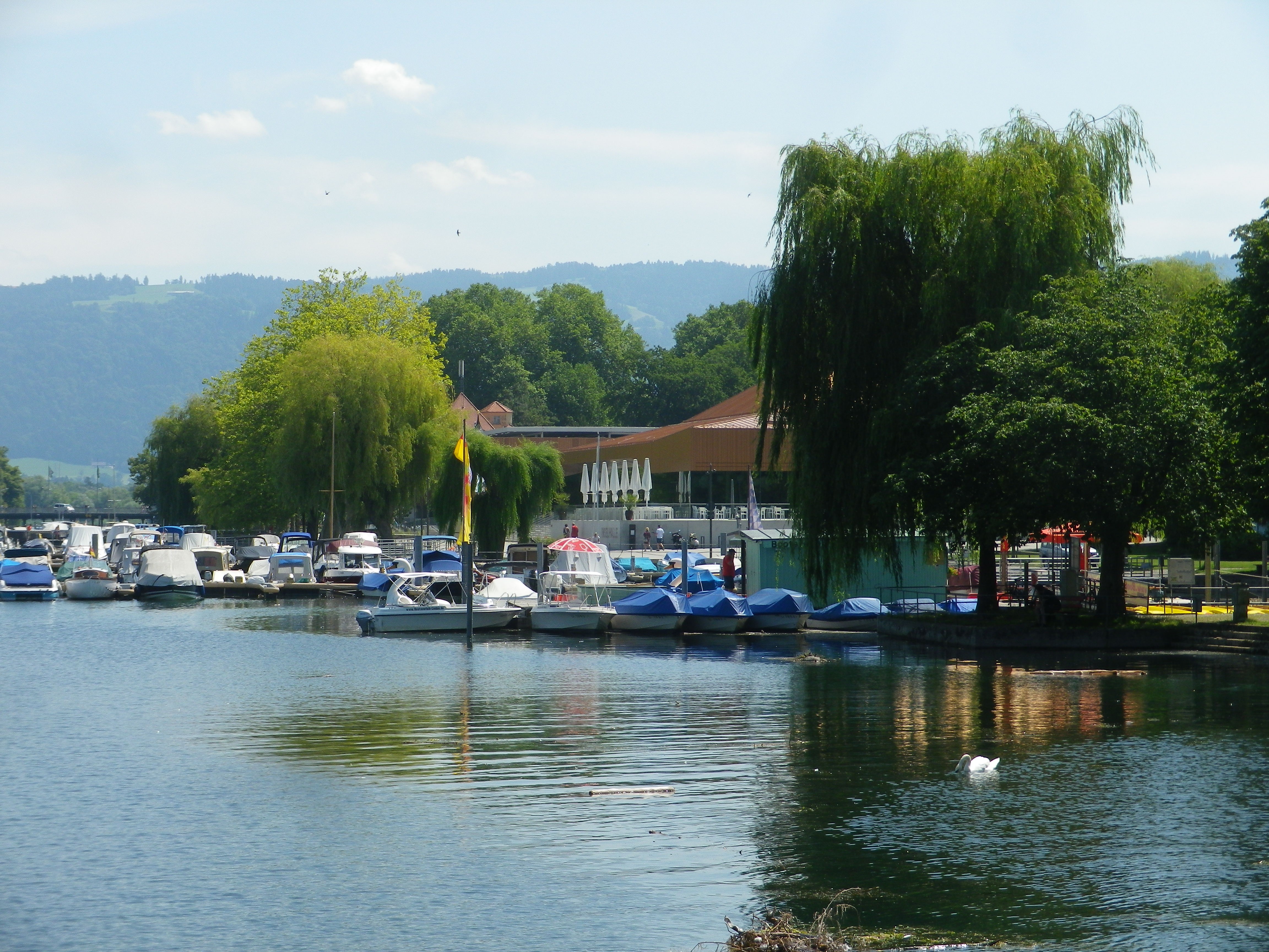
Lindau: Small Craft Piers

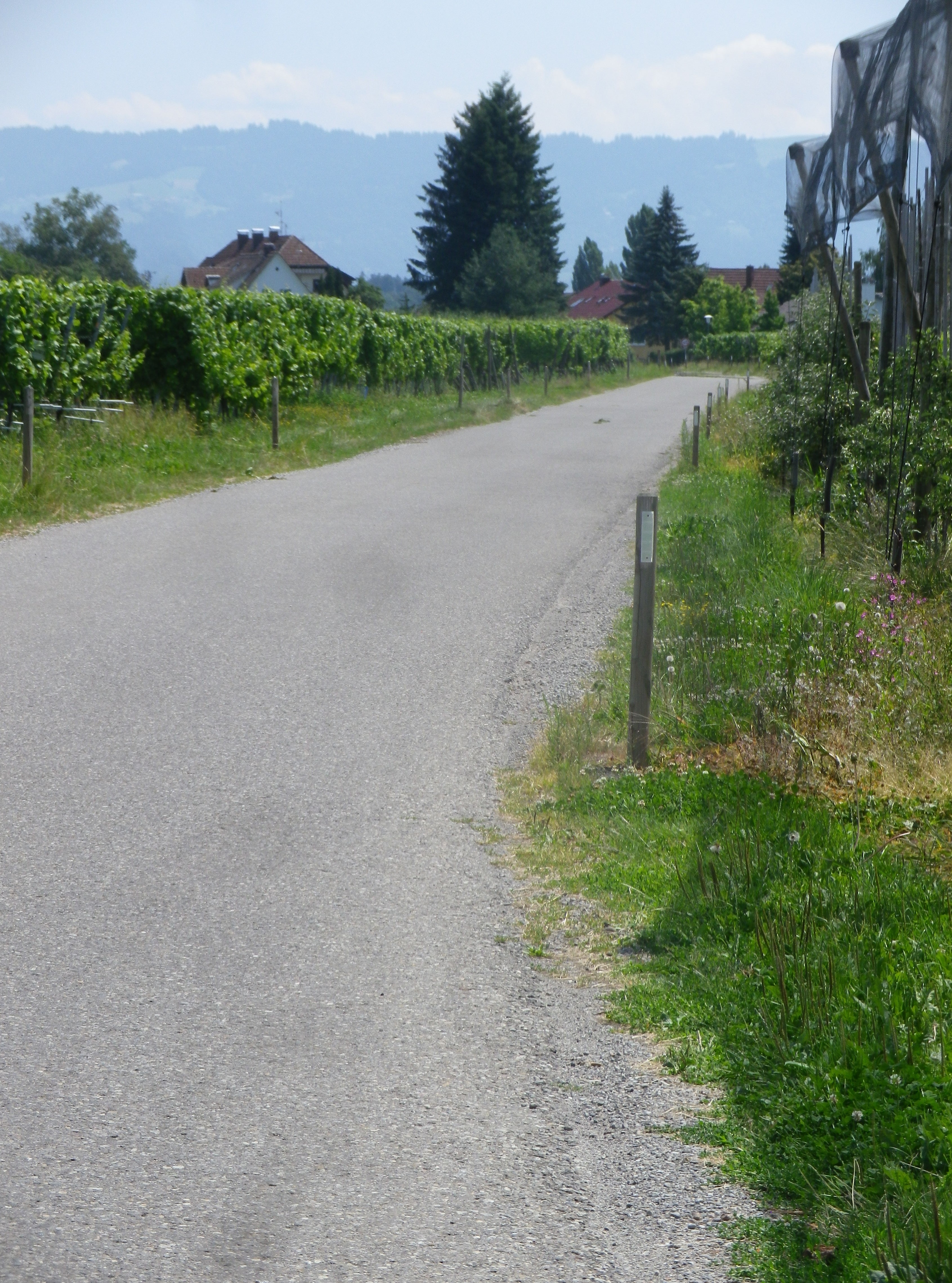
This itinerary, although not specifically wine-themed, covered many vineyards, as well as orchards and other agricultural fields. While the official trailhead began at Lindau’s main train station, ideal if arriving by rail, which is convenient to Bregenz, Austria, less than eight kilometers/five miles away; or Switzerland, just across the lake, and easily accessible by ferry. But I began more inland, as parking is tight (and should be avoided) on the island, the historic center of Lindau.

Lindau is connected to the mainland by a very narrow land bridge used by the train, and a conventional bridge, used by cars. The itinerary crosses the bridge to the island, facing toward the suddenly in-your-face Alps of the Vorarlberg region of Austria. It is a great place for photos, as is the little park right at its terminus on the island. The island itself is another world, where crooked lanes, old, pastel-colored, wall-painted houses, and rococo flourishes abound everywhere. Such a combination positively encourages exploration.
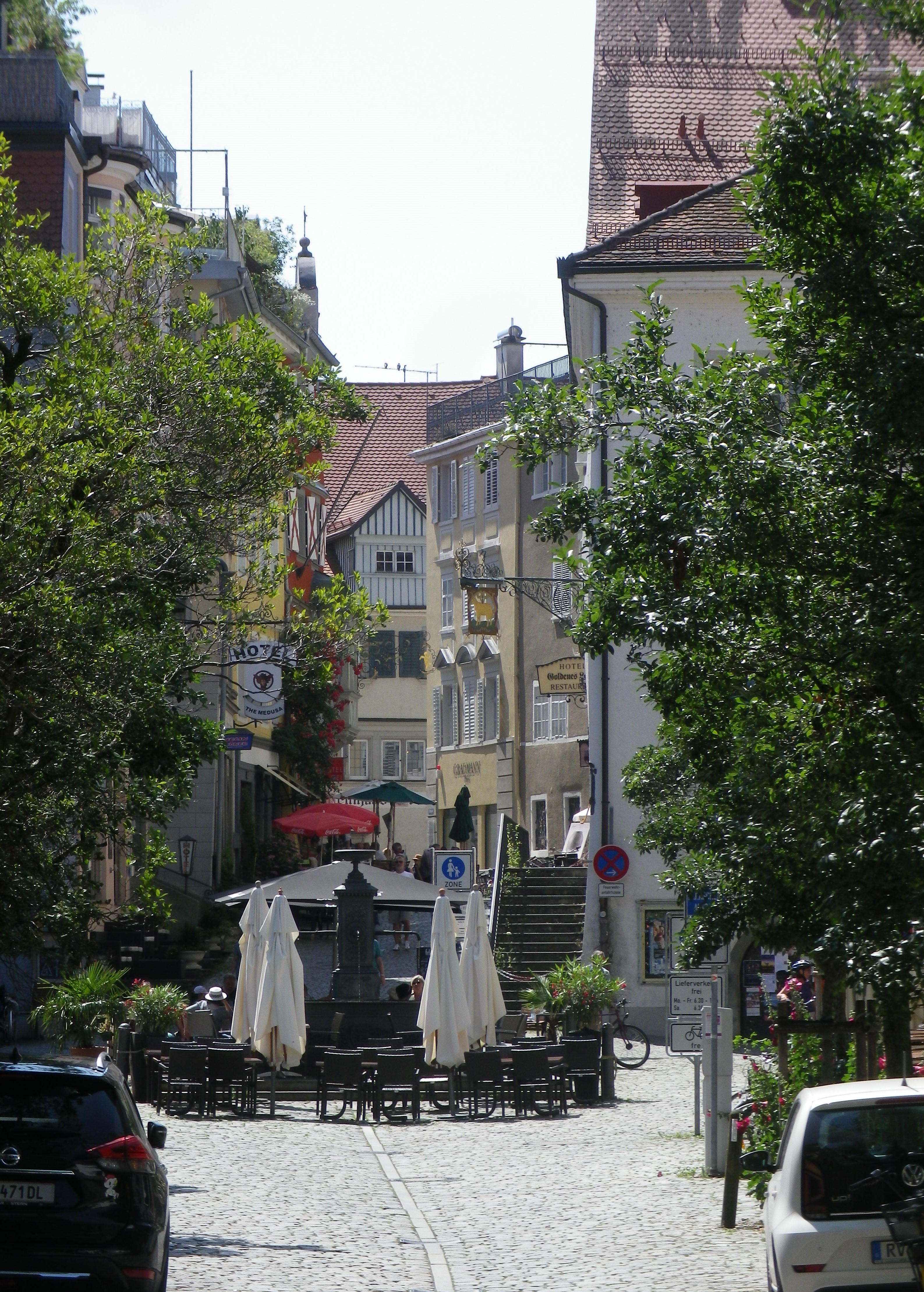
Lindau’s Lanes

Leaving the island by the land bridge, on a narrow parkland trail alongside the train tracks, the itinerary went along a path through lake-side parks and green spaces, before coming to orchards. This part of Bavaria is known for its fruit, and apples and pears seemed to be in abundance, although not quite ready for harvest.

Wasserburg am Bodensee and Nonnenhorn are the two last lakeside towns in Bavaria. But while both have interesting numerous lakeside attractions, the hinterlands of these two towns were my goal. From here, the trail meandered away from the lake and into the hills, where the vineyards lay. In all, there are about 20 wineries sharing 55 hectares (135 acres) of vines in this corner of Bavaria. Small, undoubtedly, but dedicated to good wine-making. Interestingly, by classification, they fall within the Wuerttemberg wine region, and like that region, as around other parts of the lake, Mueller-Thurgau is a well-favored varietal.
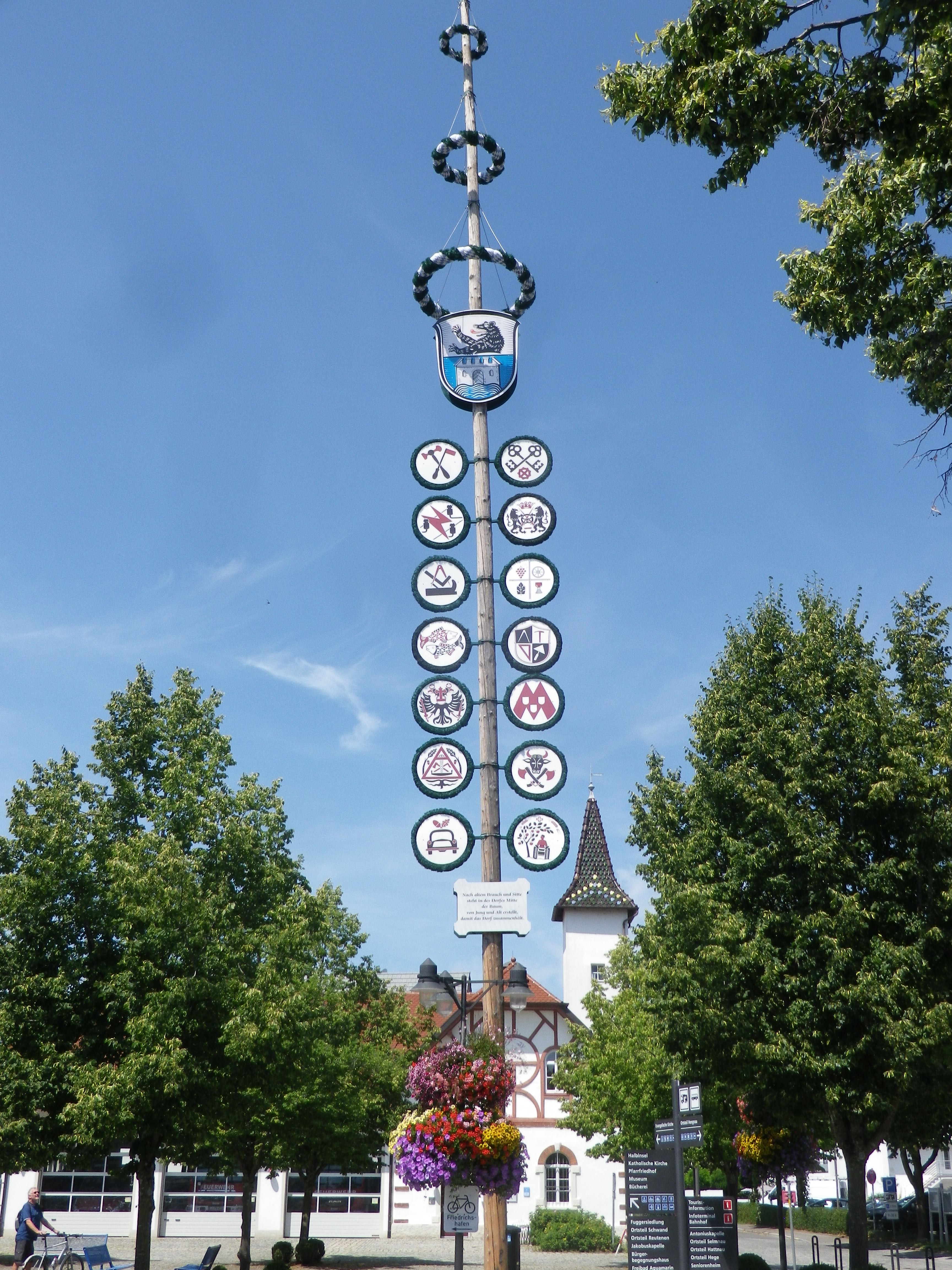
Wasserburg: May Pole on Lindenplatz

St Antonius Chapel called me, and since it was only a couple hundred meters (yards) off the trail, I went up there for the scenery. All three countries came within view, as well as much of the lake, and Alps, of course, both near and far. It would be a lovely place for a picnic, with comfortable benches for a post-prandial rest. But I was on a mission, so no prolonged stop for me.

The trail continued along vines, to and through Hengnau, then Rickatshofen, where I suddenly found myself in fields. But the downhill descent began shortly after that, with just a few minor ascents along the way. After Bodolz and Hochbuch, the trail enters back into greater Lindau. After the delightful interlude in the quiet uplands, it was a bit disappointing to be reaching the end of the trail. Although short, only 25 kilometers (15.5 miles), the trail provides a lot of variety, with magnificent views, and plenty of opportunities to stop and enjoy the Wuerttemberg wines of the Bavarian Lake Constance (Bodensee) region!
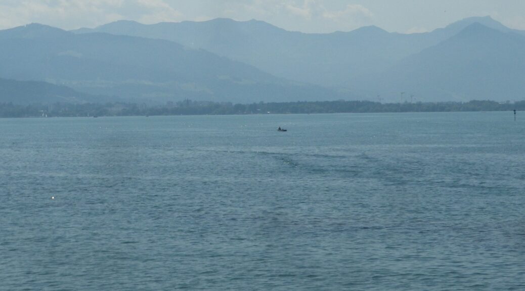
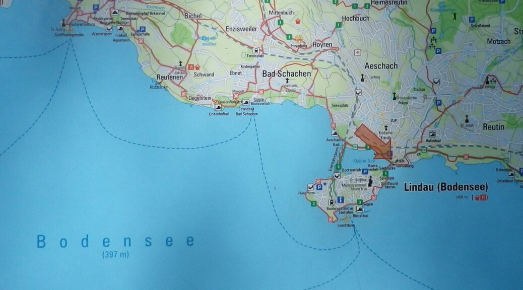


Panorama Radrunde: Trail in a Nutshell


Trail Name:  Panorama Radrunde (Bodensee Tour 1)

Trail Type: Mid-distance; well-maintained and almost exclusively paved, marking on the trail fairly good

Length:

Total – 25.5 kilometers/15.5 miles

Convenient to:

Lindau, Friedrichshafen, Germany

Marking: “1”

Trail Description:

A trail filled with great variety ranging from urban, to farmland, to beaches, to parks, flat and hilly, with wonderful scenery, and easy enough for most cyclists to enjoy the experience.

Trailhead:

Official: Lindau Train Station (Hauptbahnhof), Bahnhofplatz

Parking:

Lindau: Inselhallenparkplatz, Zwanzigerstr; P3, Europaplatz (both paid parking, but right on the trail)

Badolz: Rathausplatz

Wasserburg: Mooslachenstr (paid parking)

Lindau: Ludwig-Kick-Str 19 (opposite the Stadion)

Public Transportation Options:

Rail: Serves the principal towns (Lindau, Wasserburg am Bodensee, Nonnenhorn) from more distant hubs such as Friedrichshafen and Munich, Germany, and Bregenz, Austria

Ferries: Frequent, reliable and reasonably priced, connecting to many other lakeside destinations from Lindau and Bregenz

Bus: None on the trail

Suggested Stages: Not applicable

Trail Itinerary-Reference Points: (Counterclockwise)

Lindau: Dammsteggasse, cross bridge, Lotzbeckweg, Giebelbachstr, Schachener Str, Reutener Str, Wasserburg: Hoehenstr, Halbinsulstr, marsh and lakeside, Wasserburgerstr; Nonnenhorn: Conrad-Forster-Str, Seestr, Mauthausstr, Sonnenbichlstr, Langgasse; Wasserburg: Nonnenhorner Str, to Hege, fields, forest; Wasserburg/Hattnau hamlet/street of the same name (between Bavaria and /Baden-Wuerttemberg); Selmnau: along main street toward (but not to*) Antoniuskapelle; vineyards, then orchards and fruit fields; Wasserburg/Hengnau hamlet/street of the same name; cross B31; Rickatshofen; Unterreitnau: hamlet/street of the same name; fields; St2375; parallel B31; Bodolz/Taubenberg: hamlet/street of the same name; Bodolz: Bluetenweg, Grundstr, Rathausstr, under tracks; Schoenau: forest, Kellereiweg, Schoenauer Str/St2375, Am Entenberg; Hochbuch: Tobelstr, path off Eichbuehlweg to cross Preisingerweg, to Hochbucherweg; Schloss Moos; Lindau: Anheggerstr, Rainhausgasse, Hundweilerstr, path to traffic circle, cross bridge, Zwanzigerstr, Zeppelinstr

Representative Trail Photos:

Typical Trail Surface


Restrooms:

Lindau: Inselhallenparkplatz, Zwanzigerstr; across the street from P3, Europaplatz (pay-to-use facilities, but right on the trail)

Wasserburg: Lindenplatz, on the side of the town hall

Attractions on or near Trail:

None wine related, but lots of blue and green scenery!

Tasting along the Trail: Nonnenhorn: Sonnenbichlstr (WG Lanz); Hattnau: Pinot Weinbar, on a hillside, overlooking vineyards and the lake.

Alternative Options:

Dozens of hiking and biking paths and itineraries, but only one is wine-themed: the 3.2 kilometer walking itinerary called Geniesser Tour (Gourmet or Enjoyment Tour)  (subtitled: On the Trail of Fruit, Wine, and Lake)

https://regio.outdooractive.com/oar-lindau-landkreis/de/tour/themenweg/geniesserweg-nonnenhorn/2806817/

Additional Information:

Regional: https://www.bodensee.eu/en/where-to-travel/regions/german-lake-constance

Trail specific: https://www.westallgaeu.de/panorama-radrunde-bodensee  or https://www.outdooractive.com/en/route/bike-riding/bodolz/tour-no.-1-round-lake-constance.-panoramic-bicycle-tour-round-bavarian/1527518/

Comments:

*A slight detour uphill from Selmnau to Antoniuskapelle will give riders a fantastic 3-country panoramic view

This circuit, while not specifically wine-themed, covers some of the same area on the Geniesserweg/Obst-Wein und See (Fruit-Wine and Lake) hiking circuit, and other area vineyards as well.


Two States of Mind


Forty-five kilometers by bicycle through two wine regions, on a late September day with beautiful weather, on an easy itinerary in a quiet spot between Bavaria and Baden-Wuerttemberg – two different wine districts in two different wine regions. No wonder I was enjoying myself!

Neither Bavaria nor Baden-Wuerttemberg  are wine regions, per se. Rather, the Franconian Wine Region’s Mainviereck wine district lies in this distant corner of Bavaria. Baden-Wuerttemberg (a political creation post-WWII, amalgamating the states of Baden and Wuerttemberg) both have wine regions named after them individually. Here, the vineyards belong to Baden’s Tauberfranken wine district.

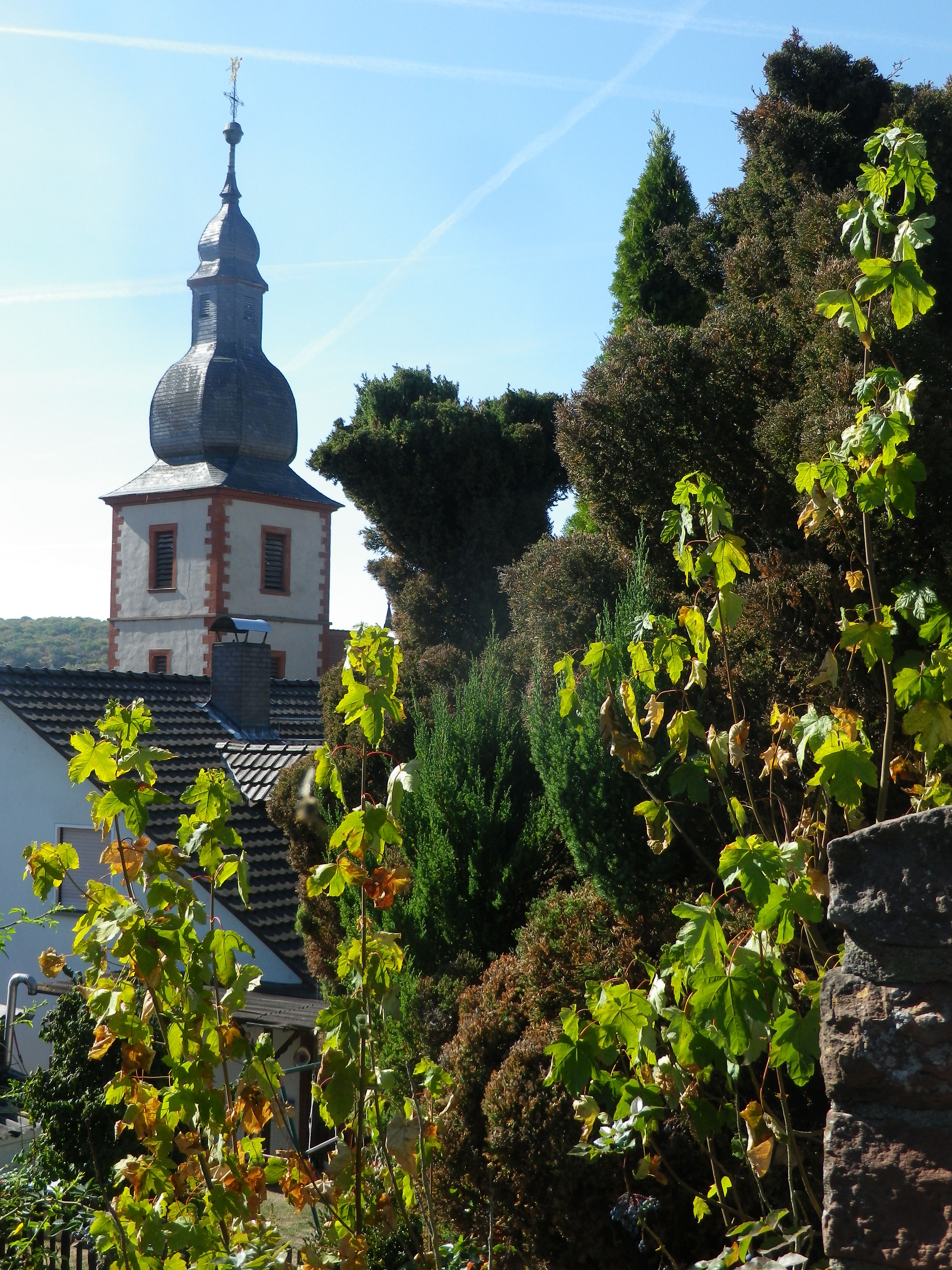
Beginning in Bavaria, in Uettlingen, the trail proceeded through fields of wheat, slightly uphill, through and beyond the neighboring village of Remlingen, with its attractive church, reaching Tiefenthal through shady copses. At this point, the trail began to follow along the Erlenbach Creek, and for the remainder of the circuit, the trail followed waterways, with vineyards ranged along slopes rising above them.

Modified Onion Dome in Remlingen, Bavaria

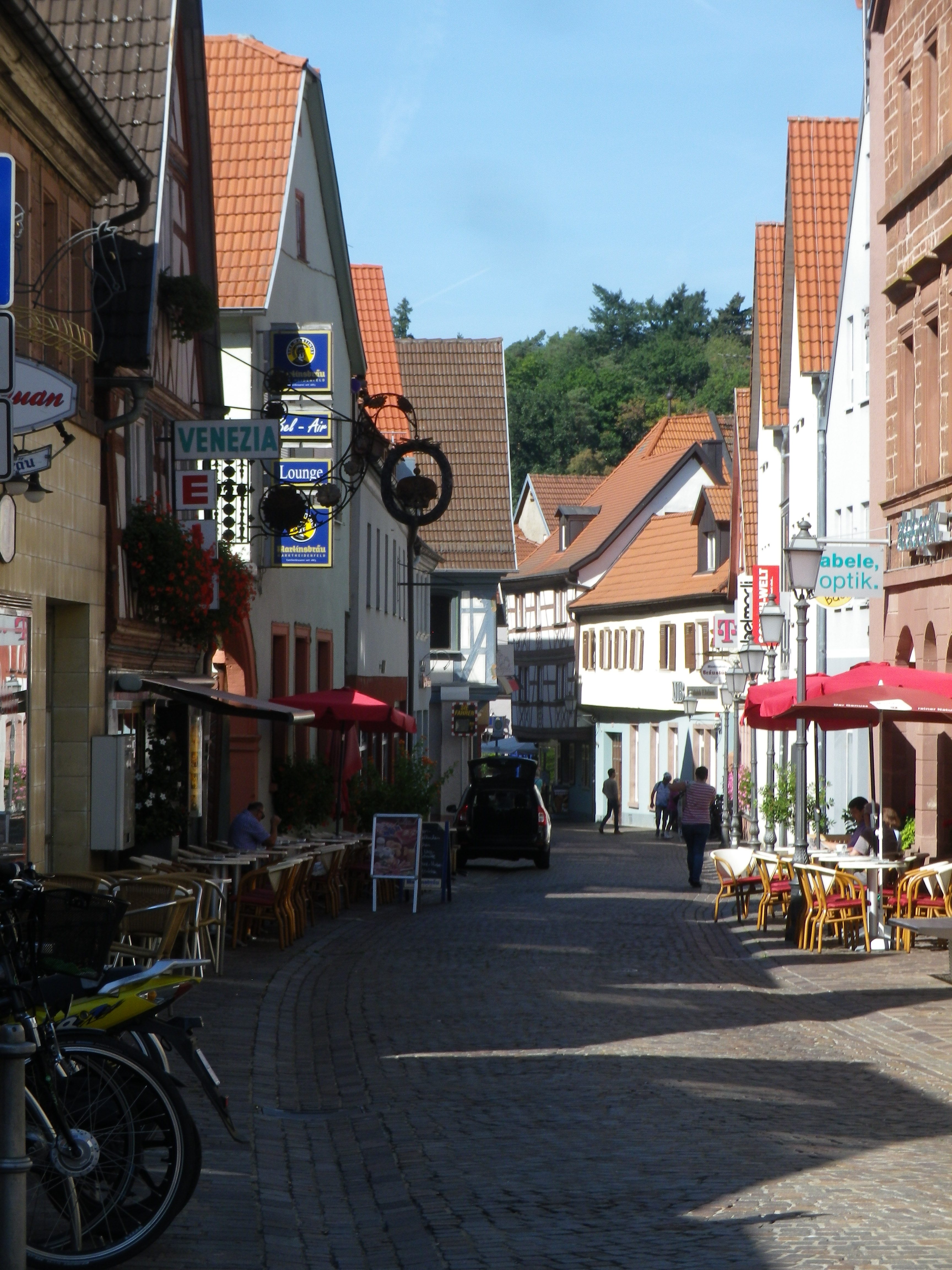
The Erlenbach Creek continued northwest, in its quest to join the Main River. But the trail diverged, leading into the delightful old town of Marktheidenfeld. Its historic center has its narrow lanes flanked by an architectural smorgasbord. (The Franck House is particularly interesting example of baroque architecture.) Museums, pubs, restaurants, and the lovely park along the Main, invite cyclists to stop and visit.

Marktheidenfeld Lane

In Marktheidenfeld, the trail met up with one of my old favorites, the Mainradweg.  This is a 600 km long itinerary following mostly along the river, and much of it is on dedicated bicycle path! So, I happily followed it south (downriver), crossing the Erlenbach where it joined the Main, enjoying the beauty and impeccable trail surface for quite some time. (Germany has some of the best bicycle paths in the entire world (IMHO)!)

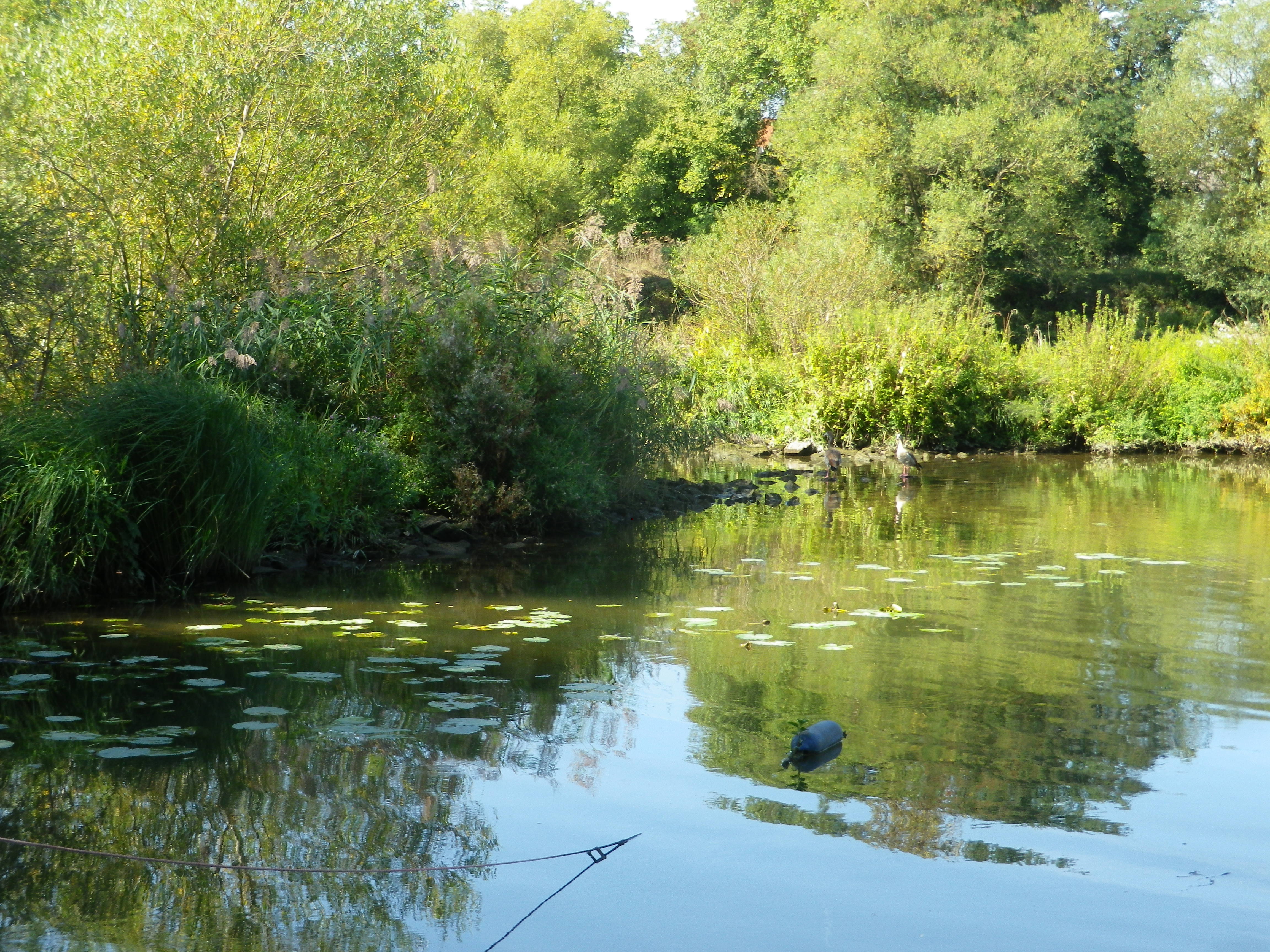
This very easy section of the itinerary would end, of course, but in the meantime, there are the sights and sounds of the river, from day boaters to small cruise ships, castles and monasteries on not-to-distant hilltops, and all sorts of waterfowl and fish, all enjoying the day.

Quiet Spot Along the Main

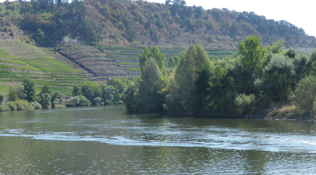
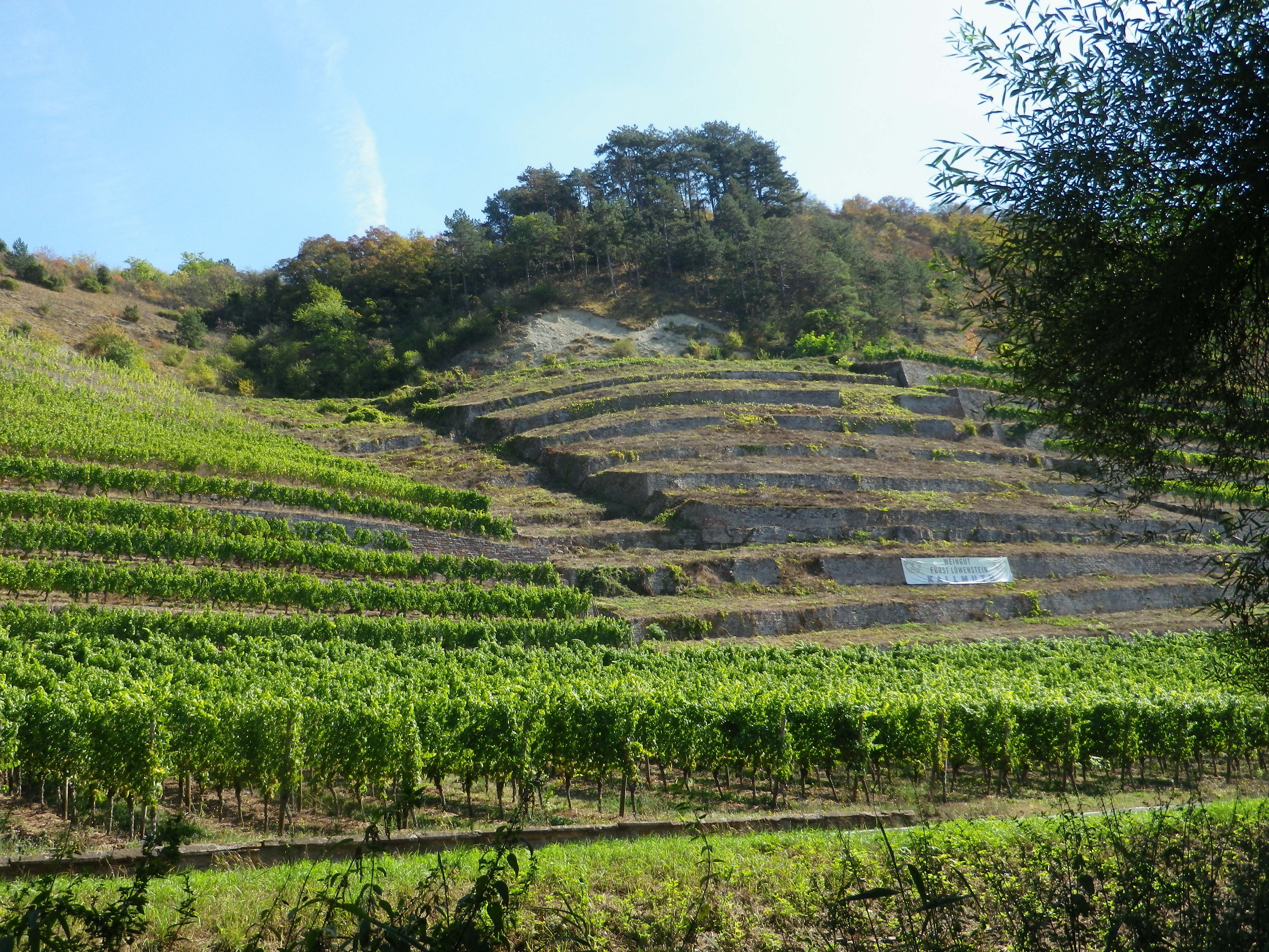
The trail soon reached Lengfurt and Homburg am Main, two villages with famous vineyards. One, the Lengfurter Oberrot, could be compared to a French Premier Cru, and the Homburg vineyard, the Kallmuth, is comparable to a Grand Cru. Wine here is serious business and has been since medieval times. A medieval monastery stands high atop the bank opposite Lengfurt, and a castle, the monastery’s political/military counterpart, sits atop the river bank in Homburg.  (Find those combinations in European wine country, and good vineyards making good wine are usually close by.)

The Kallmuth Vineyard Area

The Main is famous for its loops. The next village, Bettingen, marks the start of a narrow one, which would be less than 2000 feet/500 meters, from one side of the “peninsula” to the other. But before that, the trail crossed from Bavaria (usually more famous for its beer than its wine) into Baden-Wuerttemberg (more famous for its wine (which is hard to find outside Germany), and less famous for its beer). At Bettingen, the trail leaves the river, and climbs uphill, and traverses the highway on a pedestrian bridge, to Wertheim Village, a famous factory outlet “village”.

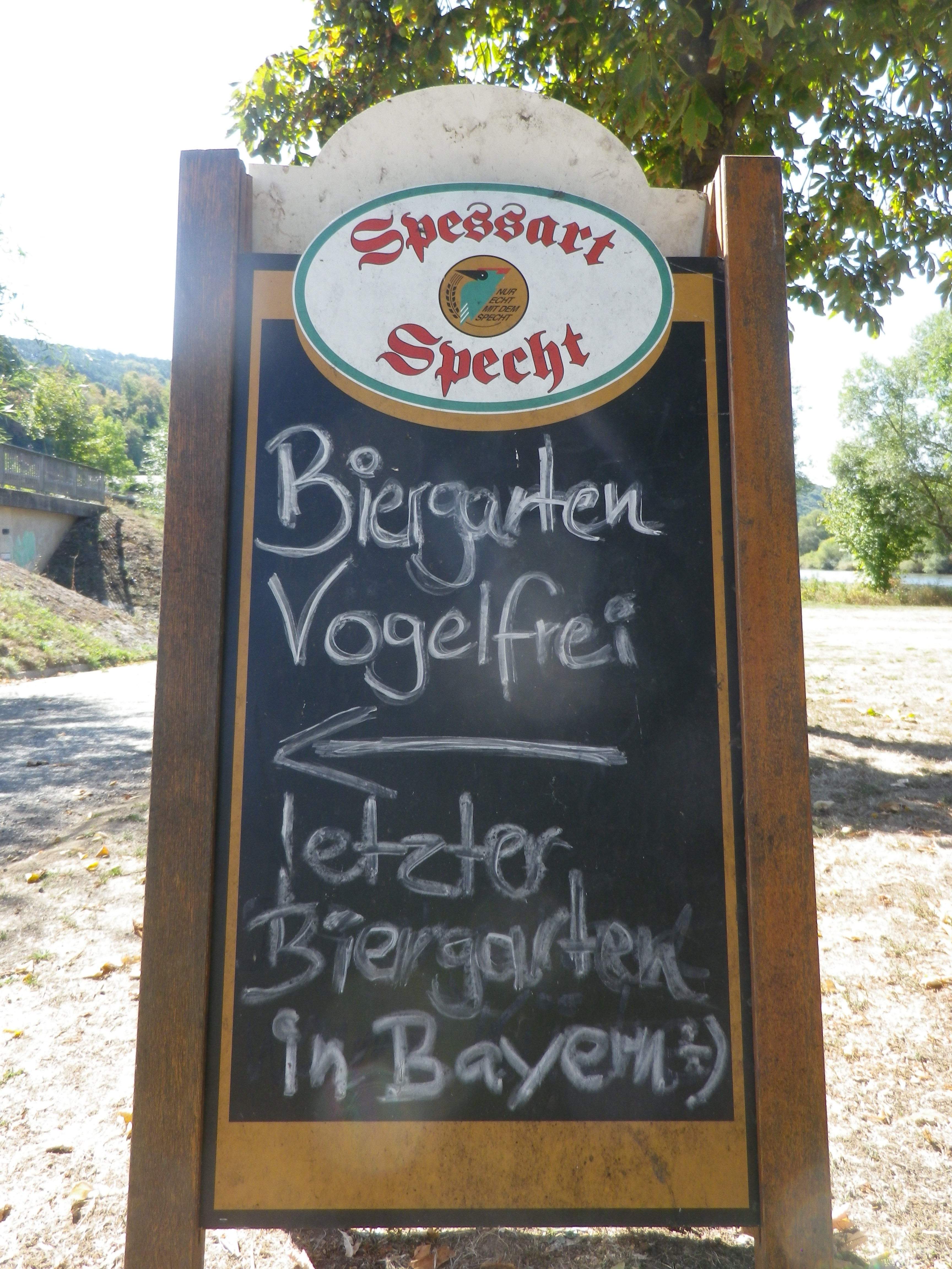
Last Beer Garden in Bavaria!

Cycling from the Main, high on a plateau, the trail lead through Baden’s Tauberfranken vineyards, interspersed with fields and forests. The trail followed a little creek upstream, leading to one of the last surprises of this itinerary: a huge monastic complex in the tiny village of Holzkirchen. Now, a center for meditation and mindfulness, it was set against a backdrop of deep forest green and quiet gardens, with the little Aalbach creek gently trickling by.

The Aalbach by Dertingen

On the way back to the start, through a still forest on a soft trail, I realized the dichotomous aspects of  the experiences along this trail: of two wine regions, of water and land, of diverse political and religious communities, unified by the Zen of it all.

Through the Forest Softly

Schoppenradweg: Trail in a Nutshell


Trail Name: Schoppenradweg

Trail Type: A medium distance cycling circuit; well-maintained and almost exclusively paved, marking on the trail is good.

Length:

Total – 45 kilometers/28 miles

Convenient to: Wertheim, or Wuerzburg, Germany

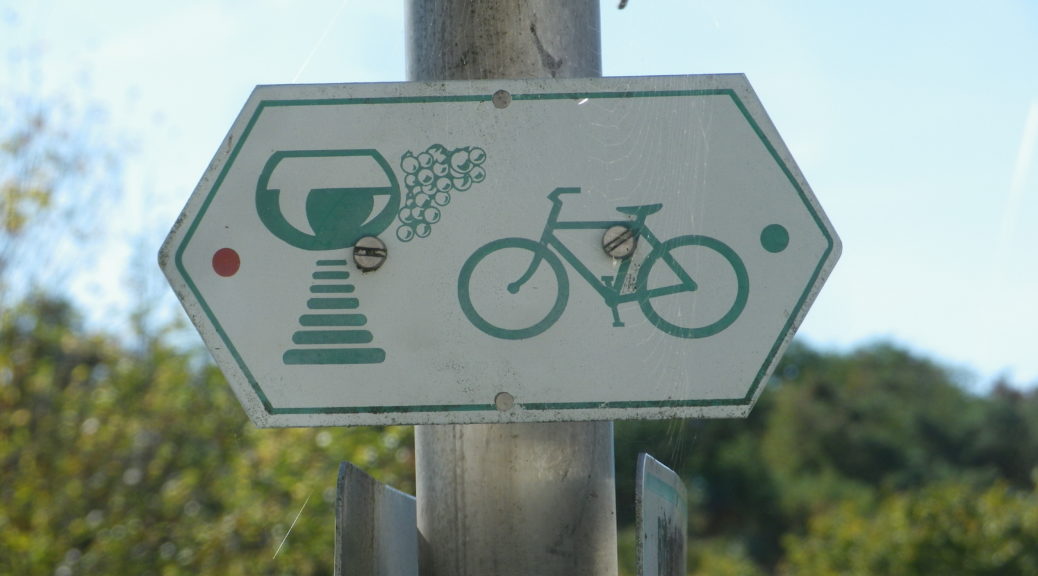
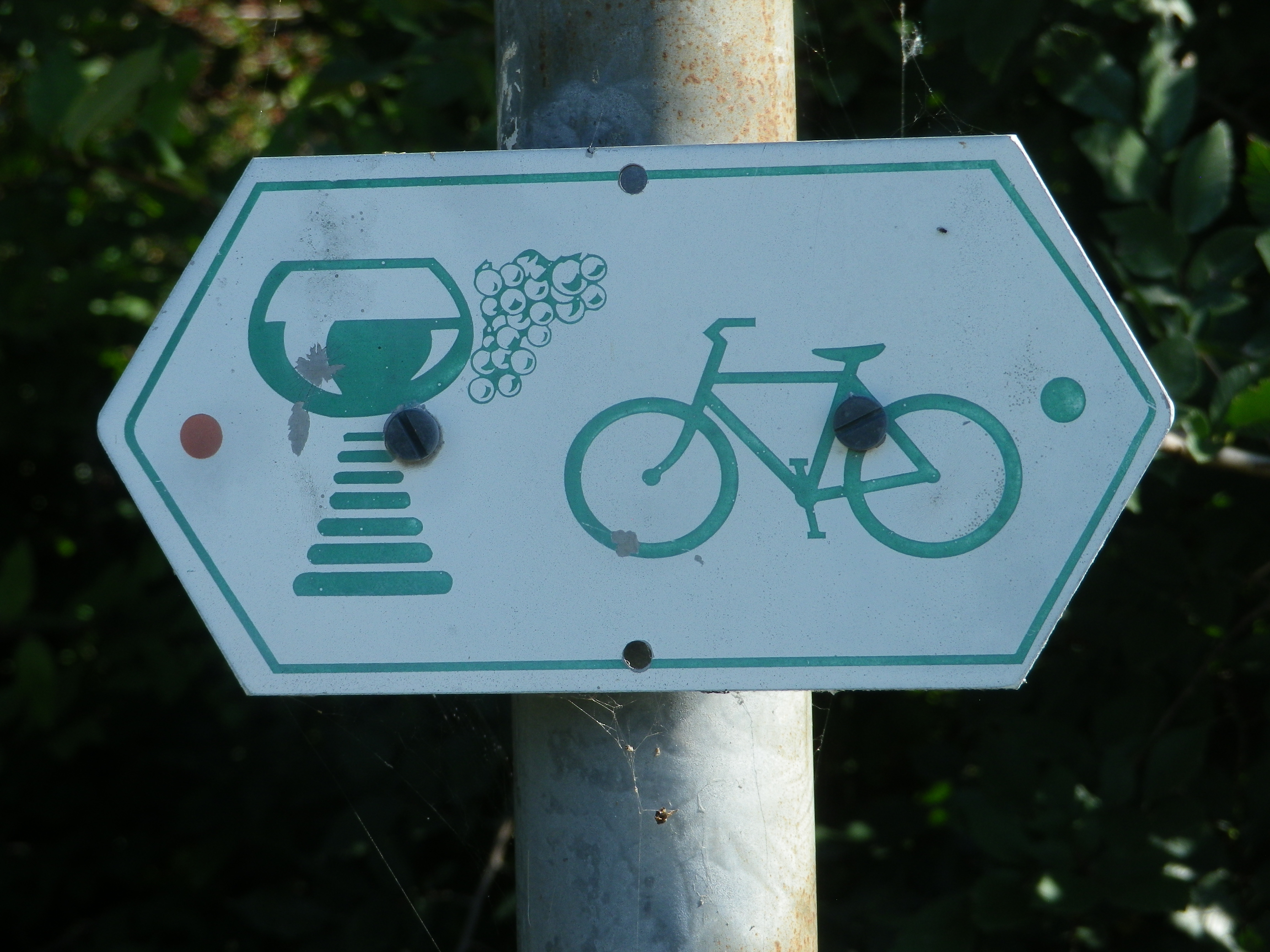
Marking: Schoppen (wine glass) with bike

Sign for Schoppen Radweg

Trail Description:  An easy and pleasant circuit through a wide variety of landscapes, with lots of history, views and things to do, on bike paths that are excellently maintained and a pleasure to ride on.

Trailhead:

Official: Erlenbach Bei Marktheidenfeld

Me: Uettingen (B): Helmstadterstrasse-Hauptstrasse

Parking:

Uettingen: Am Graben x Muehlweg, a large paved parking area

Erlenbach Bei Marktheidenfeld: large paved parking lot at Wiesenweg x Hirtenweg, by the Festhalle

Marktheidenfeld: Parkplatz Mainkai, large paved parking lot just before the bridge, off Brueckenstrasse

Lengfurt: Off St2299, by the river, a large free, and paved lot

Public Transportation Options:

Bus: Buses are the only option in this area, run by the VVM (a Main region company). But they are linked with the Deutsche Bahn site for details. See https://int.bahn.de/en

Suggested Stages:

Not Applicable

Trail Itinerary-Reference Points: (Counterclockwise)

Uettingen:  Hauptstrasse-Kirchbergstrasse, Birkenfelderweg, fields; Remlingen: Cross Weberleinsweg x Birkenfelderstrasse, to Birkenfelderstrasse, Zehntbergweg; Tiefenthal: Kreuzstrasse, Obere G Strasse, Wasserweg, cross Hauptstrasse to path along creek; Erlenbach: Wiesenweg, Im Bruhl, left at lone farm house to pass under Wuerzburgerstrasse, fields; Marktheidenfeld: Am Weiler, under Dillbergstrasse, along creek path, under Sudring, Lohgraben under B8 to Friedenstrasse, Kreuzbergstrasse, cross B8 to Mitteltorstrasse-Fahrgasse, to Main River trail; pass Mainuferbiergarten, pass Klaeranlage; Lengfurt: Along the river; Homburg: under ST2299, Maintalstrasse, under ST2299, along river: Bettingen: Geiselbrunnweg, Dorfstrasse-Hauptstrasse, Dertingerweg, over A3 on Almosenberg, Hymerring, pass Kletterpark; Dertingen: Sandweg, Albachstrasse/L2310, Al Mandelberg; Wuestenzell: Along the Aalbach; Holzkirchen: Bruckenstrasse, Baltasar Neumannstrasse (P), Klosterstrasse, fields, forests; Uettingen: Untere Muhle-Hollerbuschweg

Representative Trail Photos:

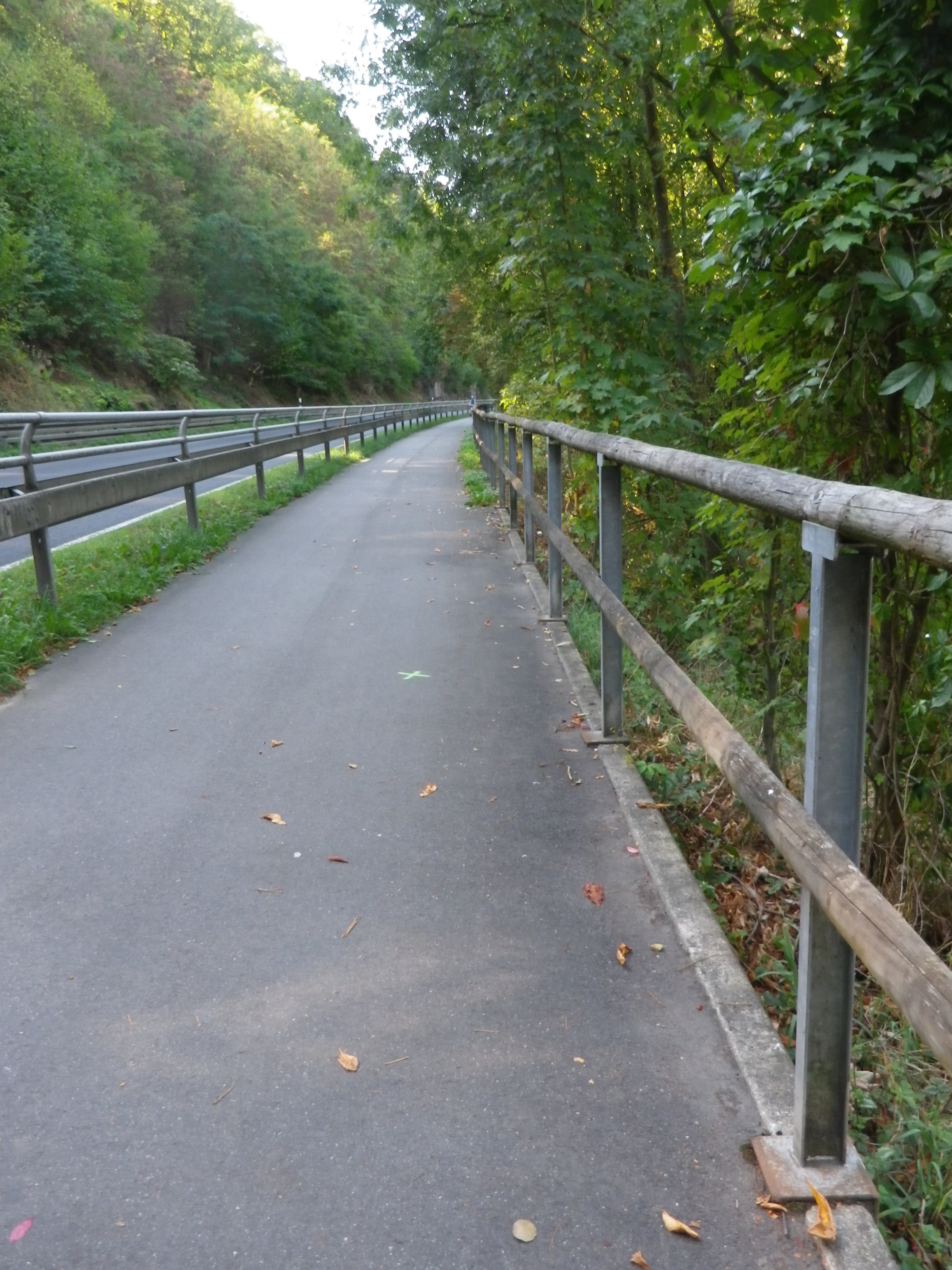
Representative Trail Section
Representative Unfinished Trail Surface

Restrooms:

Marktheidenfeld: Marktplatz, between the Volkshochschule and St Laurentius Church

Lengfurt/Triefenstein: downriver from the parking lot, off Sr2299. Look for a small green corrugated structure

Attractions on or near Trail:

Marktheidenfeld – the Franck-Haus is a fine building constructed in the baroque for a wealthy wine merchant. Recently renovated, the façade, baroque rooms and the old wine cellar are worth a visit. Exhibits rotate in other parts of the building as well.

Homburg – Rebsortengarten, (a grape varietal garden), a collection of vines (with labels) providing a quick reference for grape varietals grown regionally.

Tasting along the Trail:

Marktheidenfeld – Several pubs and restaurants offer local wines.

Lengfurt/Triefenstein and Erlenbach bei Marktheidenfeld both have a couple of wineries and vineyards outside the village.

Homburg am Main is the village with the most choices for wineries or wine shops, and is the site of the famous Kallmuth vineyard along the slopes overlooking the river.

Alternative Options:

Hiking: Homburger Weinwanderweg, a 10 kilometer/6 mile long trail beginning and ending in Homburg, is a fairly easy route through town, vineyards and forest, with river views along much of the way.

Additional Information:

Regional: https://www.main-spessart.de/themen/tourismus-kultur/19.Tourismus–Kultur-im-Landkreis.html

Trail specific: https://www.gemeinde-erlenbach.de/tourismusfreizeit/radwege/

Comments:

One of the biggest wine festivals of this area is the Weinfest Homburg, in Homburg/Triefenstein, every end of July to the first weekend in August, in the old castle courtyard.

From Bettingen to Uettingen, the Schoppen Radweg itinerary is the same as the Romantische Strasse bicycle itinerary. After Uettingen the 498.25 kilometer itinerary continues about another 15 kilometers (a bit less than 10 miles) to Wuerzburg, the northern terminus of the Romantische Strasse, for both cars and bicycles.

Note that both Lengfurt and Homburg am Main are part of the Triefenstein community. Therefore, tourist information about this part of the trail may be found under https://tourismus-triefenstein.de/


Through Crus and Clos


Passing through vineyards in the Haut- Rhin department in Alsace is always delightful, especially when passing through some Grands Crus vineyards. This trail also ran by, not through, other vineyards known as clos. By definition, clos are vineyards enclosed by walls. They are special places, like the Grands Crus, each with a special pedigree, producing sought-after wines.

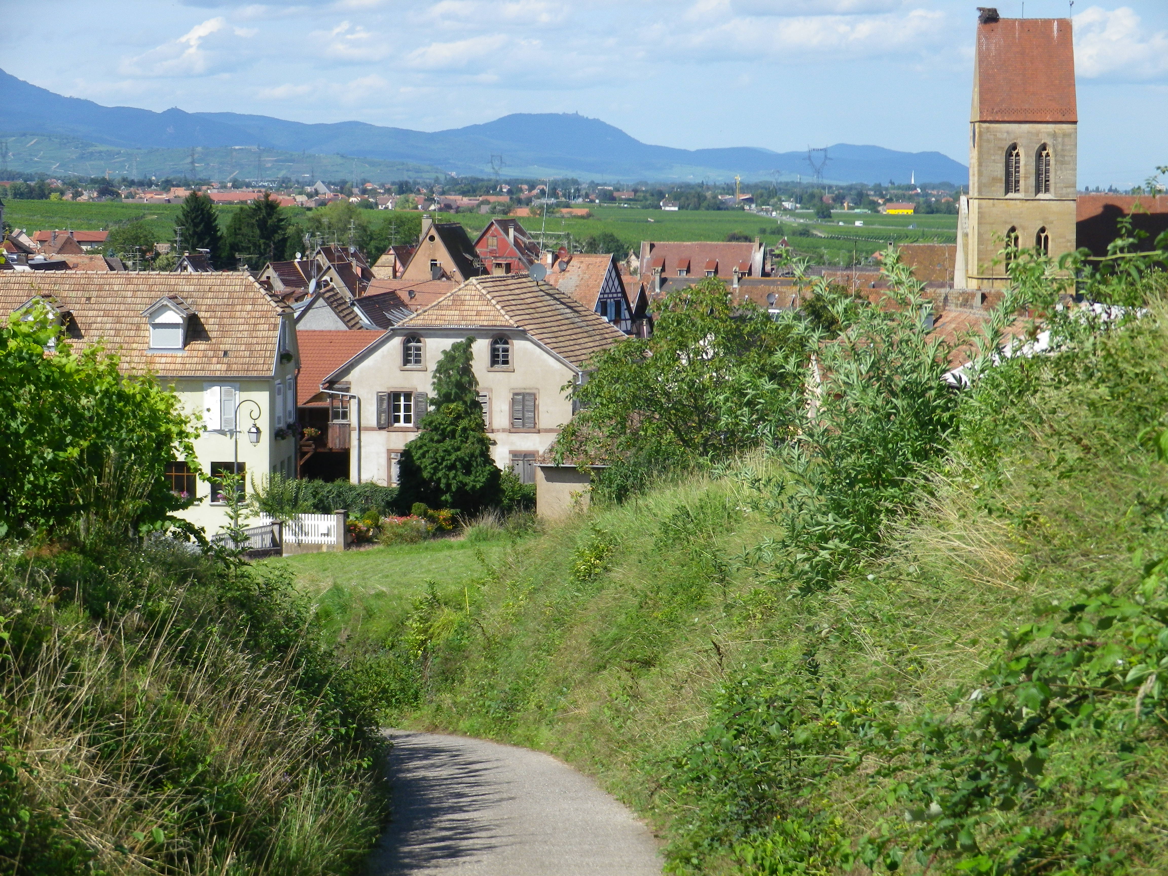
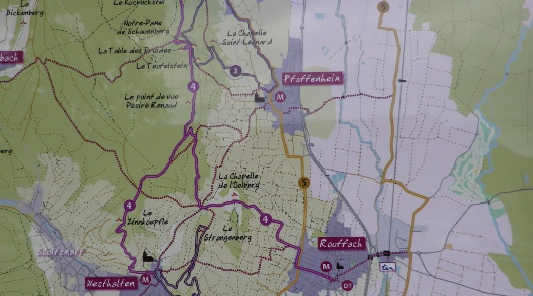
This circuit trail began in Rouffach, a town I had never visited. I would visit the compact historical center after my ride, tucked away from the modern main roads (D18Bis), wishing I had more time to spend there! Then again, time there would have meant taking time from some of the other equally delightful towns and villages (Hattstatt, Obermorschwihr, Eguisheim, Voegtlinshoffen, Gueberschwihr and Pfaffenheim) along the route.

Winding Alleyways of Gueberschwihr

But this circuit was also about the well-respected vineyards in this sector of the Alsace wine region. No sooner through the built-up area of Rouffach, Clos de St Landelin comes into view. Like many clos or Grands Crus, this one also spelled out its name in large letters, another mark of distinction for these special vineyards. Named after an itinerant Irish monk, Clos de St Landelin lies within the Grand Cru of Vorbourg, overlooking Rouffach. I would see this combination of Grand Cru and Clos again, further north, where the Goldert Grand Cru has the Clos de St Imer within it.

Clos St Landelin

The reason for this is simple. Merovingian kings allotted early monks large territories in pagan areas to encourage conversion, as well as to grow vines (for communion wine). Both vines and conversion went from strength to strength, and soon Alsace was known for both. The circuit took me past both the former Abbey of Marbach, (over 1000 years old), and the nearby Hatschbourg Grand Cru. We have the monks to thank for the rebirth of wine -making in Alsace, and their descendants for doing such a great job of it.

Abbey of Marbach Above the Vineyards

But the height of this match-up came in Eguisheim, at the end of the early Middle Ages. This village which still retains its medieval look, saw a local man, Bruno von Egisheim-Dagsburg, become Pope Leo IX. As son of a nobleman, I wondered, if as a child, he lived in one of the three castles high above the town. (To hike there, see the Nutshell here.) Neither the palace in the center of the village, nor the Chapel of St Leo IX, dates to his era. Nonetheless, the narrow, twisted alleyways, and colorful half-timbered cottages make this a very photogenic village to visit. (Conveniently, Eguisheim marks roughly the half-way point on the circuit, and is the site of a Wolfberger wine cellar – and I love their Cremant!)

Path Leaving Eguisheim

Leaving Eguisheim, up a short but rather steep path (maybe too much Cremant?), I found myself in the middle of the Eichberg Grand Cru. Monks owned this one too, at one point. Shortly after, I was cycling through the Hatschbourg then the Goldert Grands Crus, cruising into Gueberschwihr in no time. This attractive village is home to the Ernest Burn winery. The current owner, whose family’s wine-making tradition dates to 1620, showed me around, and offered more tastes of his Grand Cru Goldert and Clos St Imer wines than I was good for me, at that point. But they were distinctively perfumed and lovely to taste.

Scene from Gueberschwihr’s Main Square

Fortunately, to return to Rouffach, there were only about five kilometers (3.25 miles) to go. With the beautiful weather and views, and having combined the best of both the cultural and viticultural worlds, I found this a really enjoyable, and quite memorable, half-day ride that I was sorry to finish.

Paysage a Bicyclette: Trail in a Nutshell


Trail Name: Paysage a Bicyclette

Trail Type: Mid-distance circuit biking trail; much of it paved and car-free, well maintained, fairly good signage throughout (but at least bring a map, if nothing else).

Length:

Total: 31 kilometers/ 19.5 miles

Convenient to: Colmar, Alsace, France

Marking:

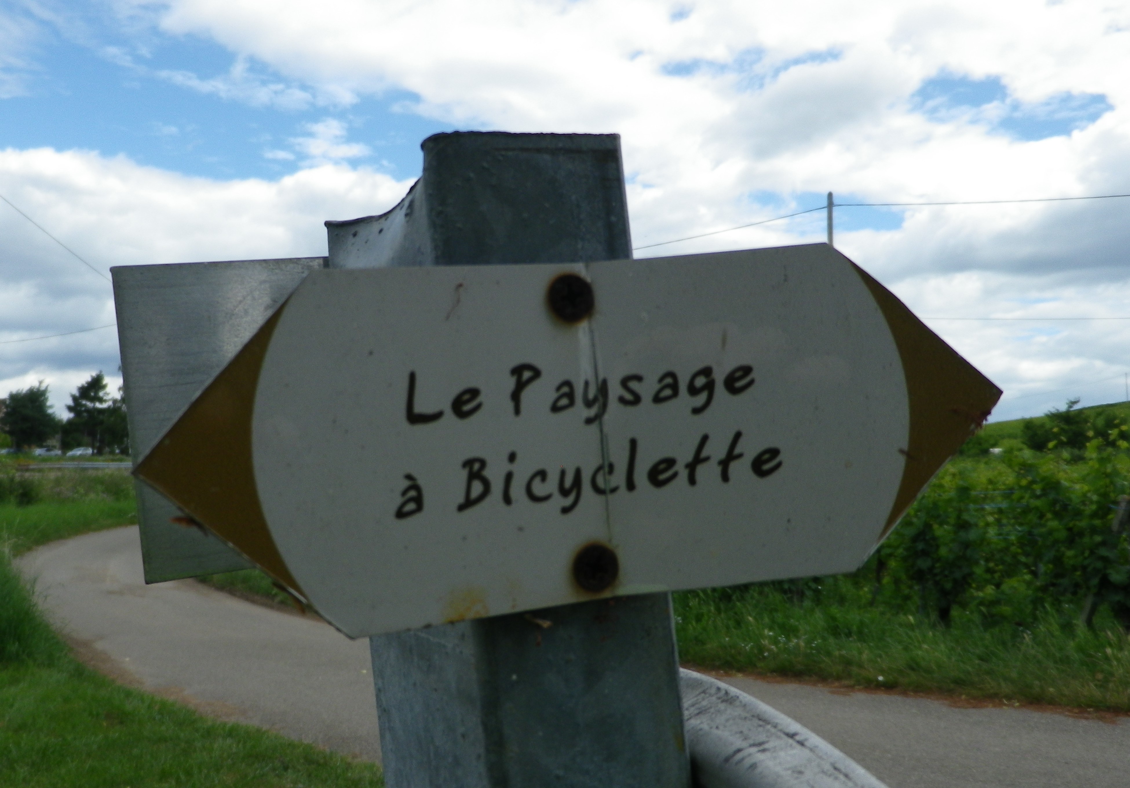
White pointy-ends rectangular sign with dark letters: Paysage a Bicyclette in script writing

Paysage a Bicyclette Trail Signage

Trail Description: A slightly challenging trail through vines and villages in a relatively quiet section of the Alsatian wine region, offering plenty of opportunities to reconnect with nature, admire the wide expanses, and taste wine while exploring small towns and villages along the route!

Trailhead:

Official: Rouffach: Mairie (Town Hall), on Place de la Republique

Alternative: Eguisheim: Grande Rue

Parking:

Eguisheim: Grande Rue, large paved lot, reasonable fees

Rouffach: Place des Sports, large paved lot, with overflow parking nearby, free

Public Transportation Options:

Rail: SNCF regional trains (TER), regularly connect Rouffach (station less than one kilometer from the trail) with Colmar and Strasbourg to the north, and Mulhouse to the south

Suggested Stages:

Not applicable

Trail Itinerary-Reference Points:

Rouffach: R du Marechal Joffre/D18Bis-R Claude Ignace Callinet, R. Louis Pasteur-R. des Vosges-Route de Westhalten; Cross Muehlweg, onto track named Saegmattenweg; Gundolsheim: D15/Route de Rouffach-R. du Nord-Schlittweg-Gundolsheimerweg; onto Holderhuerstleweg, over train tracks, hard right but continue on trail, Rouffach: cross D8, Heiligkreuzweg-Staaweg; cross tracks, then parallel them on Gaertleweg; Metzgermatten and Kiffmatten fields; woods, cross D83 highway; Hattstatt: D121/Route du Vin; Alte Staatstrasse, Herrenstr trail, Rte de Herrlisheim/D1bis; Eguisheim: D14/Grande Rue, R. du Muscat-R du Vin, unnamed trail to left after R. du Buhl; Obermorschwihr: Dagsbourg Hohlweg, R du Dagsbourg-R des Pres; fields and vineyards; Gueberschwihr: R du Nord, R Basse-Route de Pfaffenheim; Gaensbrunnweg trail, then first right; Pfaffenheim: R du Muscat, Grande Rue-Drotfeldweg-Kopfacherweg; Alte Strasse through vineyards-R. Louis Pasteur

Representative Trail Photos:

Typical paved trail section
Typical Unpaved Trail Section

Restrooms:

Rouffach: R. du 4eme Spahis Marocains (by the bus stop)

Eguisheim: by the paid parking lot (see parking above), and in the old center in Cr Unterlinden

Attractions on or near Trail:

Eguisheim:

The Little Train will take passengers through vineyards as well as the town

The Wolfberger Cave has a discovery room with some explanations and photos, in addition to a large boutique for lots of its wine and wine-related products.

Tasting along the Trail:

Wineries, mostly family-owned, in every village – you will be spoiled for choice. Do not hesitate to visit one (or several) between roughly 9-1200, and 14-1800 on most days (some including Sunday mornings during tourism season)!

Alternative Options:

Hiking:

Eguisheim: Vignoble et Chateaux, a short but steep in places trail that passes through a great variety of scenery and terrain, with great views. See the Nutshell here.

Soultzmatt or Westhalten: https://www.visorando.com/randonnee-promenade-dans-le-vignoble-de-la-vallee-/ thru vineyards, listed as medium difficulty (hills, not much shade)

Additional Information:

Regional: https://www.visit.alsace/en/253001422-tourist-office-pays-deguisheim-et-de-rouffach-office-from-rouffach/

Trail (segment) specific: https://www.cirkwi.com/fr/circuit/536654-le-paysage-a-bicyclette

Comments:

A fantastic area for wines, history, and hiking and biking in nature.

Vignes et Cabanes: Trail in a Nutshell


Trail Name:  Des Vignes et Cabanes

Trail Type: Short-distance circuit (for hiking and biking); well-maintained and almost exclusively paved or hard-packed surfaces; marking on the trail fairly good. See comments below.

Length: 8.95 kilometers/5.5 miles

Convenient to: Montelimar, France

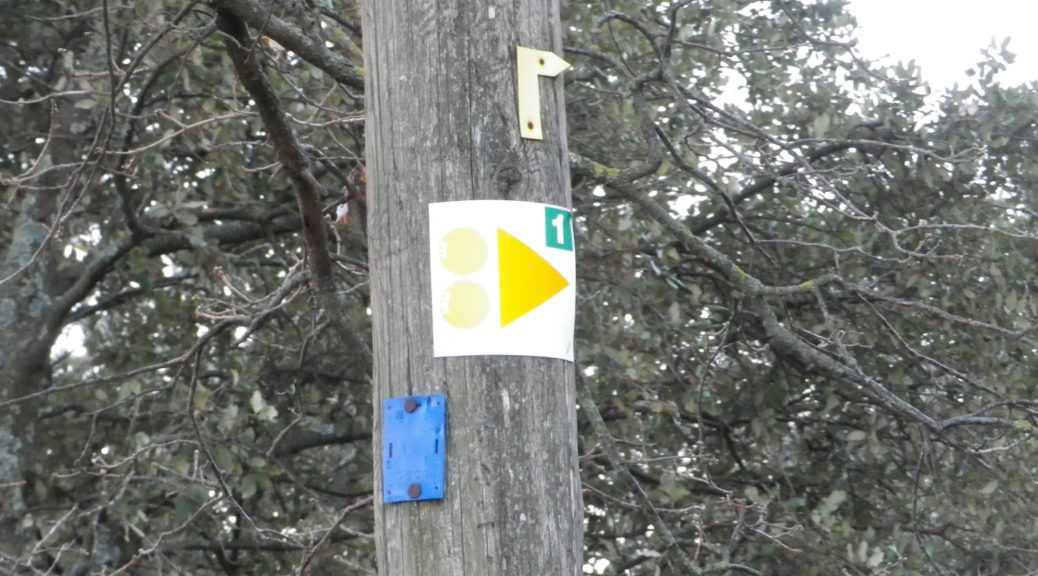
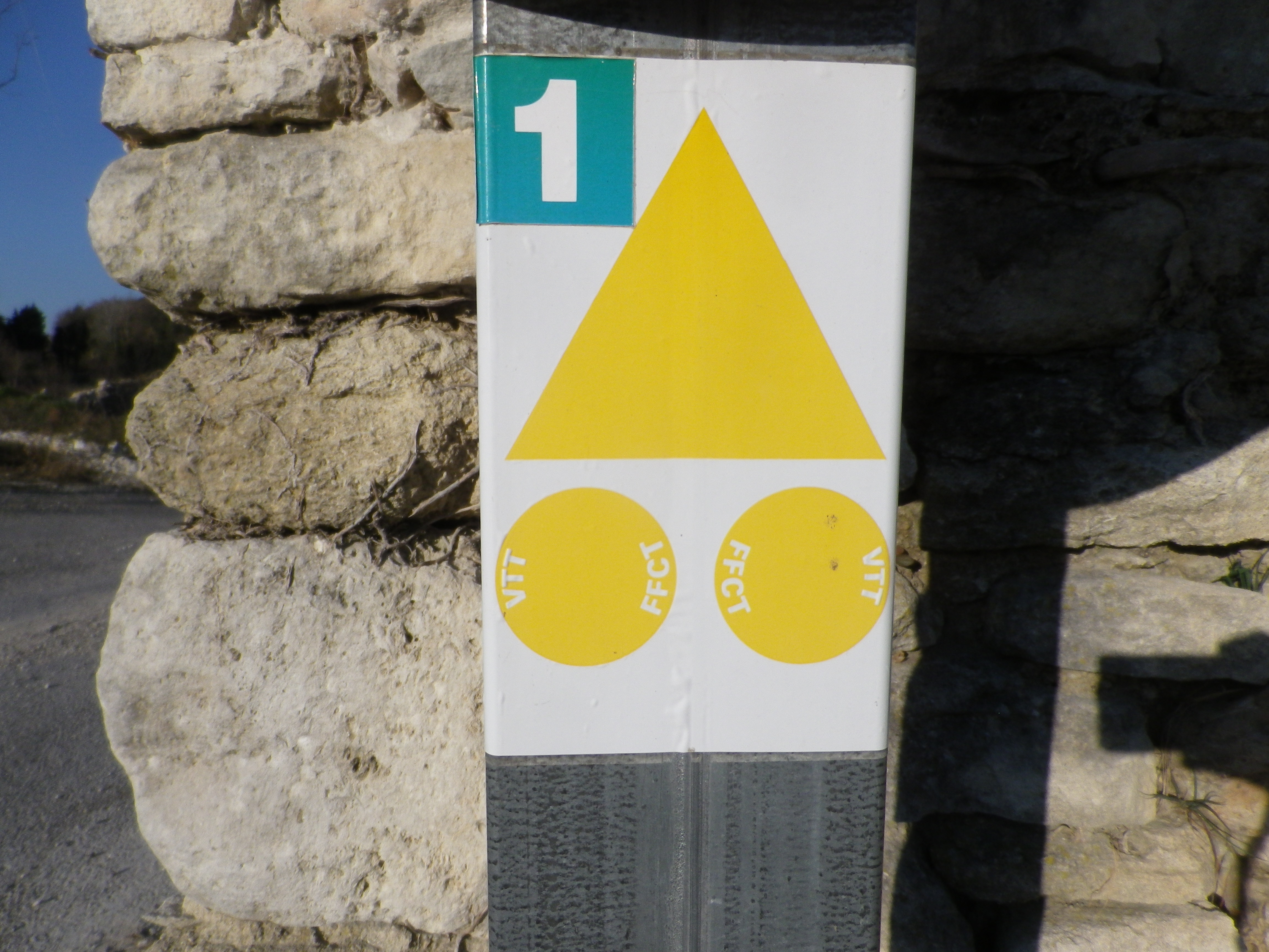
Marking: Either VTT 1, or just 1

Signage for the Bike and Hike Trail

Continue reading Vignes et Cabanes: Trail in a Nutshell

Cycling the Bocksbeuteltour


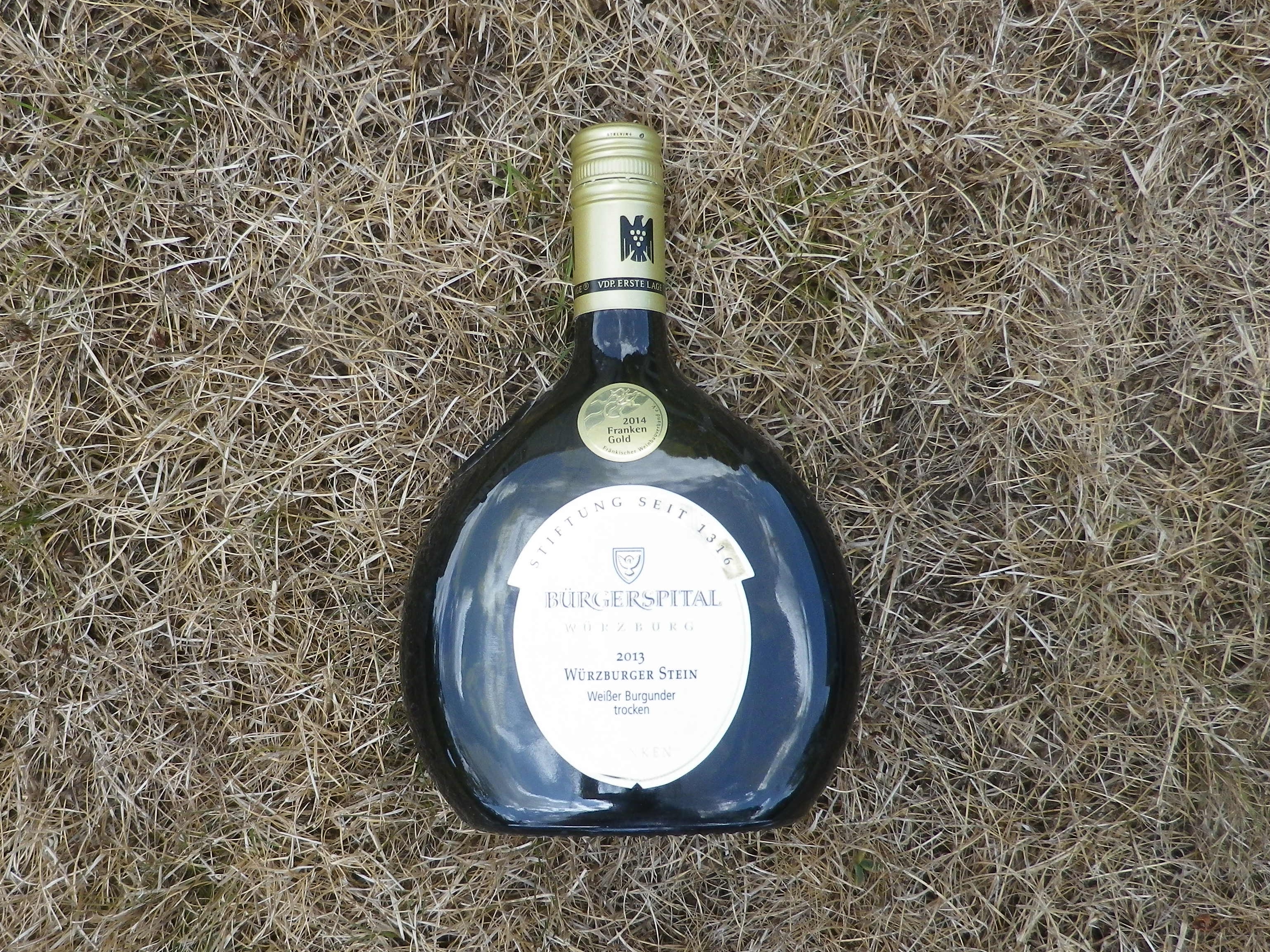
A Bocksbeutel is such a distinctive type of wine bottle that words fail me when it comes to describe it. So, I turned to the internet and found in Wiki: “a flattened ellipsoid.” (Try to remember that from geometry class.) Better yet, because “a picture is worth a thousand words,” I photographed a bottle.

A Bocksbeutel

Continue reading Cycling the Bocksbeuteltour

Talauen-Radweg: Trail in a Nutshell


Trail Name: Talauen-Radweg, T-6; – (See also Bocksbeuteltour AKA Bocksbeutelrunde below)

Trail Type: Middle distance; well-maintained and almost exclusively paved, marking on the trail good

Length:

Total – 26 kilometers/16 miles

Convenient to: Neustadt (Aisch) (about 35 miles northwest of Nuremberg), Bad Windsheim, Germany

Marking:

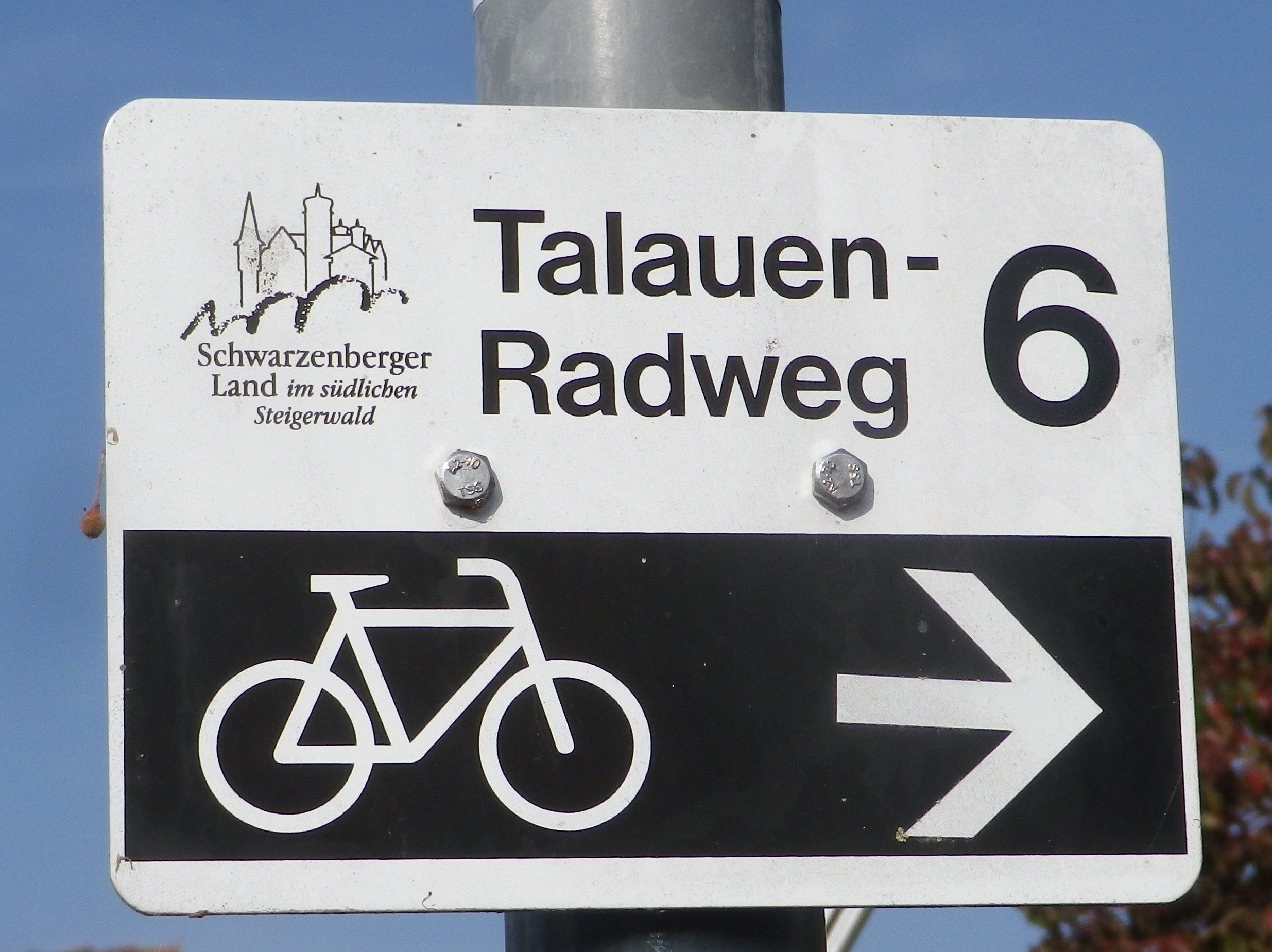
Sign Talauen Radweg 6

Continue reading Talauen-Radweg: Trail in a Nutshell

Little Effort, A Lot of Fun


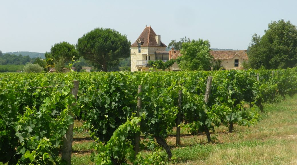
It should have been a bike ride with family. But we couldn’t find nearby bikes to rent. Then due to time and impending weather constraints, it had to be right then and there. So, in the end, it had to be a hike of the trail we intended to bike. And as we went along, I realized this circuit trail truly was ideal for bicycling as a family with young children (tweens, at the oldest), or with family members out of shape (or practice) biking.

From the shady parking area at the trailhead, which provided a great spot for a group preparing to embark on an adventure, the trail went along D8, the main road following the around the peninsula that is Anglars-Juillac, as defined by one of many loops created by the Lot River. The Lot River is famous for its sinuous course on its way to the Garonne, and its many twists and turns offer countless perspectives on the river and its landscapes. (If you want to make an easy half-mile detour to see the river, it is best to do so within a half mile of the trail’s start, following D67, before heading away from the water, and into the vineyards covering more than half of this peninsula.)

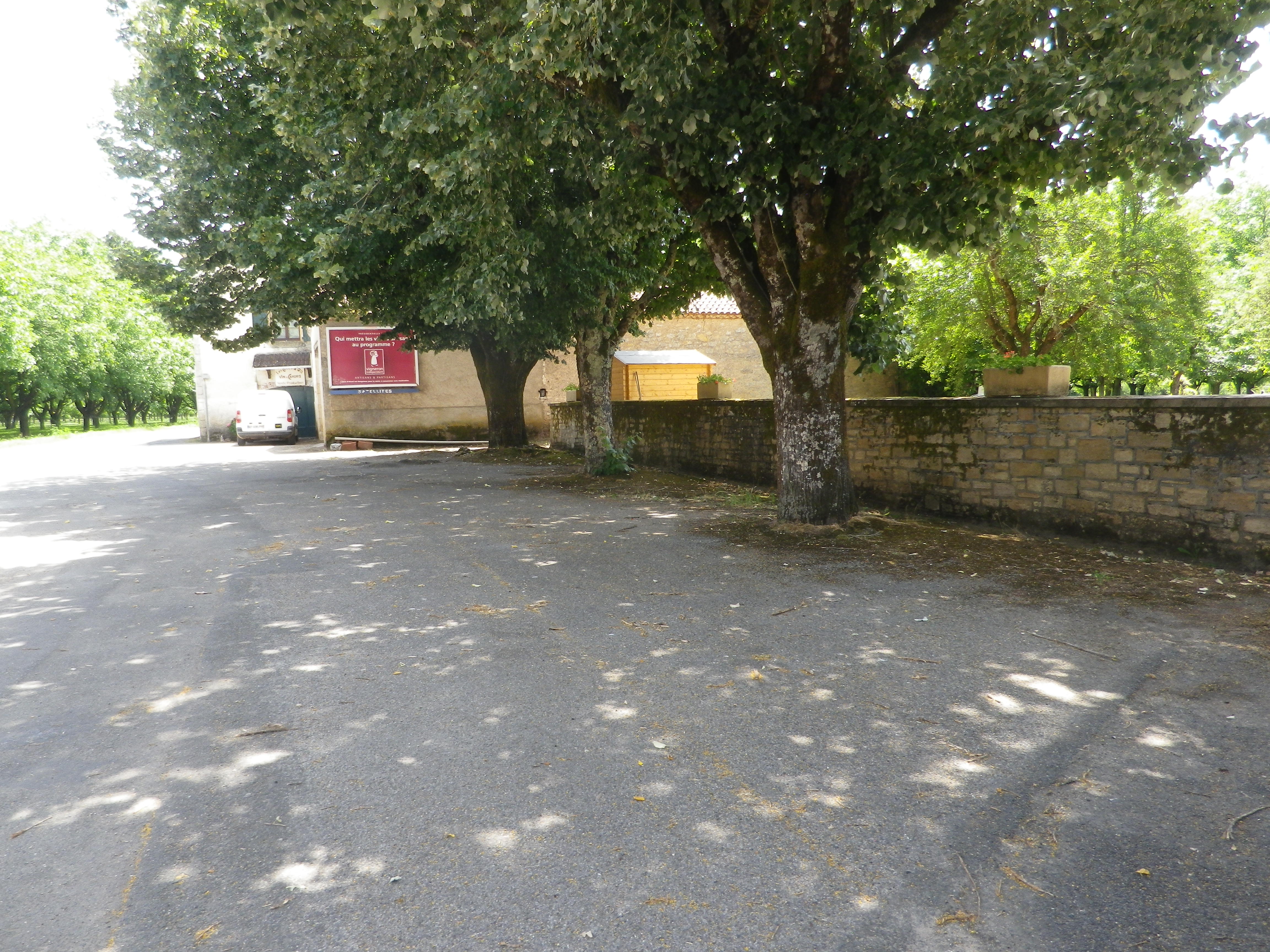
Deserted Trailhead in Juillac

Continue reading Little Effort, A Lot of Fun