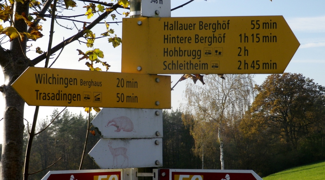
Trail Name: Blauburgunder Panoramaweg
Trail Type: Long distance hiking trail; either paved or hard-packed gravel, well maintained.
Length: total: 12 km/7.5 miles
Convenient to: Schaffhausen, Switzerland
Marking: Bright yellow rectangle, with a location name, or the word “wanderweg” or with a black figure of a stylized hiker. (Note: No specific marking for a “Blauburgunder Panoramaweg” trail.)
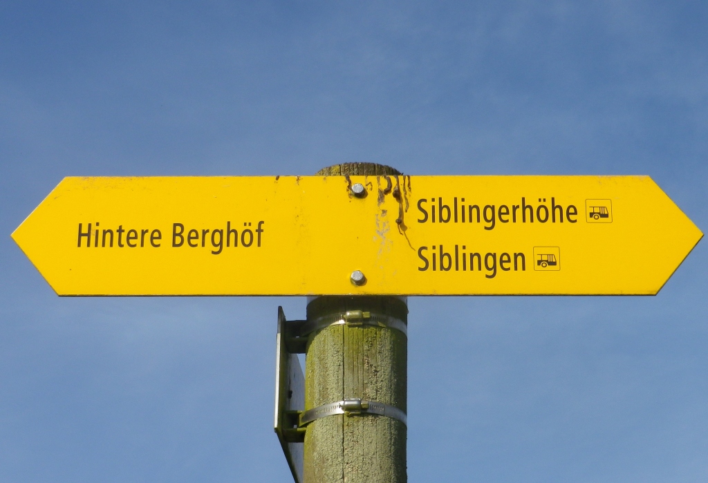
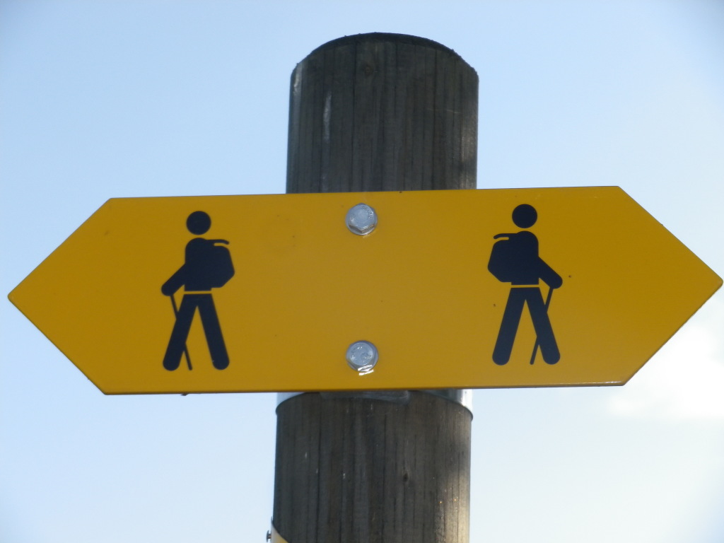
Trail Description:
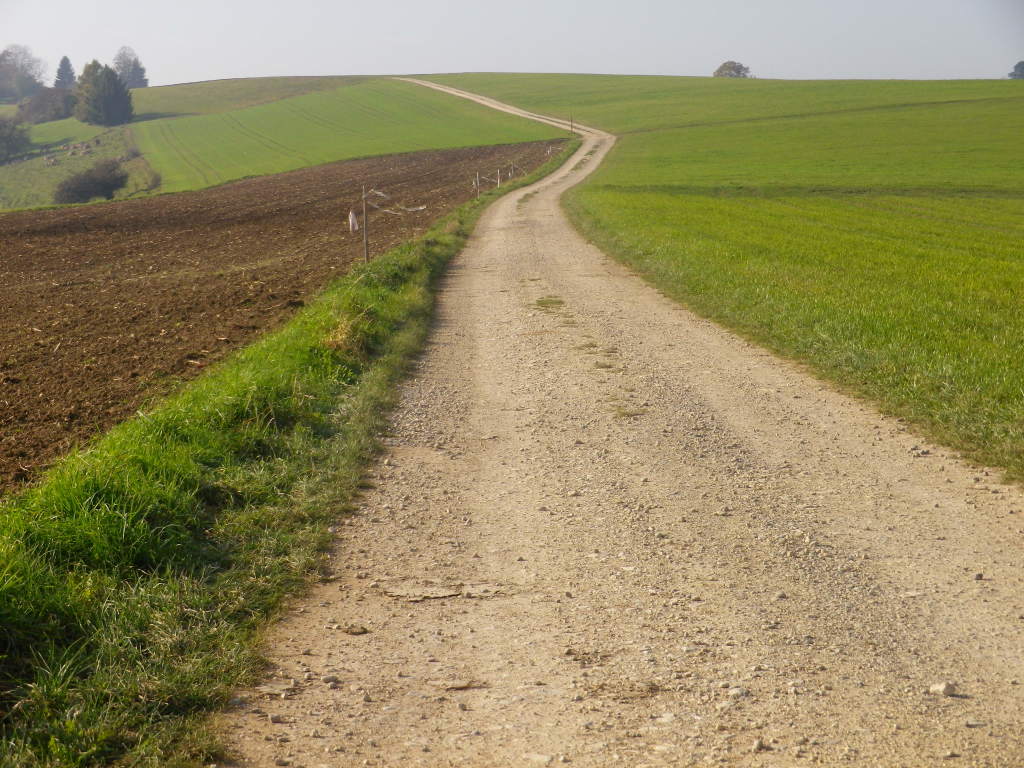
This trail follows the crest of a ridgeline from Siblingen to Trasadingen. Once on top, the inclines and declines are gentle, and much of the trail is fairly level. It passes through mostly fields and pastures, and through or by four working farmsteads.
Trailheads:
Siblingerhoehe (heights outside Siblingen): Bus stop at Hauptstrasse (Route14) x Bergstrasse
Trasadingen: Lindenhof x Zollstrasse (Route 13) (by the train platform)
Parking Possibilities:
Siblingerhoehe (heights outside Siblingen): Along Bergstrasse, by trail marking sign; spaces for about six cars
Vicinity of Hallauer Berghof: Off Bergstrasse, along a gravel trail to a small parking lot at the edge of the woodline
Rummelen Rastplatz (off Wunderklingerstrasse): Spaces for about half a dozen cars
Trasadingen: Intersection of Zollstrasse x Lindenhof; A lot for about a dozen cars
Public Transportation Options:
See http://fahrplan.sbb.ch/bin/query.exe/dn?
Bus: Bus 21 (starting at Schaffhausen train station) stops at Siblinger Hoehe
Rail: Regional trains serve Trasadingen and Hallau from Schaffhausen
Suggested Stages: Not applicable
Trail Itinerary-Reference Points:
Siblinger Hoehe: Bus stop hut on Hauptstrasse/Route 14; Walk southeast on Bergstrasse; follow sign to Hintere Berghof along a gravel trail; along Bergstr; follow sign to Vorder Berghof on an asphalted lane; follow signs to Hallauer Berghof; continue straight on a gravel trail to Buebenhalde along a woodline, past a small parking lot, then past a small, embanked pond; turn left (downhill); follow signs to Rummelen (with a small parking lot and picnic area); cross Wunderklingerstr, follow signs to Berghaus, Berghaus (farmstead with a circular barn), head downhill following the sign (on a barn) to Trasadingen, past the edge of the “Schleipfi” woods; Trasadingen: educational wine trail; intersection Gass x Wassergass, Bahnhofstrasse.
Representative Trail Photos:
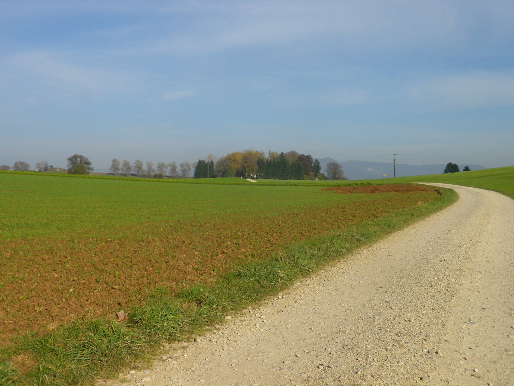
Restrooms:
None on the trail.
Hallau: Gemeindehaus on Hauptstrasse
Attractions on or near Trail:
Tasting along the Trail:
None on the trail
Hallau: Vinothek, Hauptstrasse
Alternative Options:
Walking: For more challenge, reverse the suggested direction to start in Trasadingen for a rapid but steep climb to the ridgeline
Running: Entire trail would be easy to run.
Biking: Entire trail is bike-able, with sturdy tires (but not necessarily mountain bike tires).
Alternative Trails: Bikers might also choose to bike the 160 kilometer-long Schaffhauserland Bike route (marked as number 50) which covers much of this hiking trail; or the 43 kilometer-long Klettgau Route (marked as number 751) which roughly parallels this trail at lower elevations, and passes through Hallau and other villages. (See Schaffhauserland link below)
Car: Not applicable
Additional Information:
Regional: http://www.wanderland.ch/de/services/sehenswuerdigkeiten/sehenswuerdigkeit-0151.html
http://www.schaffhauserland.ch/de/
http://www.schaffhauserland.ch/de/aktivferien/wandern
http://www.schaffhauserland.ch/de/kulinarisches/wein
Trail (segment) specific:
http://www.wanderland.ch/de/routen/route-0899.html
Comments:
An easy trail; surface is possibly suited for some wheeled conveyances such as baby carriages or motorized wheel chairs.
Public transportation between the trailheads is available, but plan ahead to avoid lengthy delays.
