All posts by admin

Trail in a Nutshell: Via dei Terrazzamenti II


Trail Name:  Via dei Terrazzamenti (Terrace Way)

Trail Type: Long distance; well-maintained, with a hard-packed, but occasionally uneven, surface; usually good marking on the trail

Length:

Total: 70 kilometers/43 miles (Morbegno – Tirano)

Mine: 14 kilometers/8.5 miles

Convenient to: Sondrio, or Tirano, Lombardy, Italy

Marking:

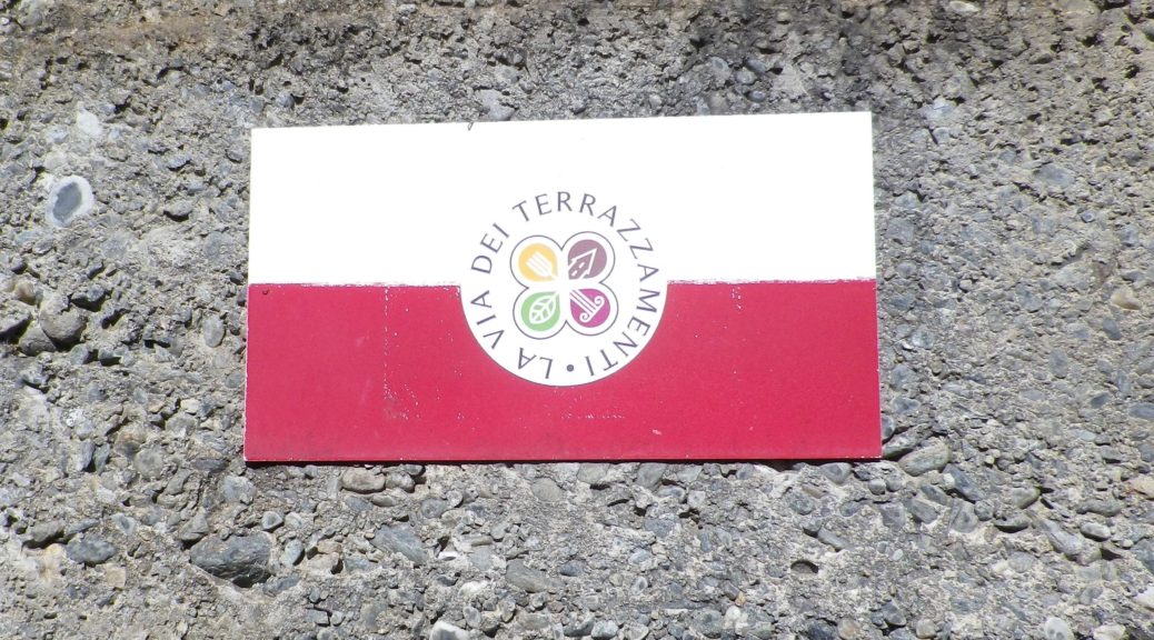
The words Via dei Terrazzamenti, accompanied by a logo resembling a four-leaf clover on a yellow arrow; sometimes the same logo is on a white bar over red bar rectangular sign (See the featured photo above, and the photo below.)
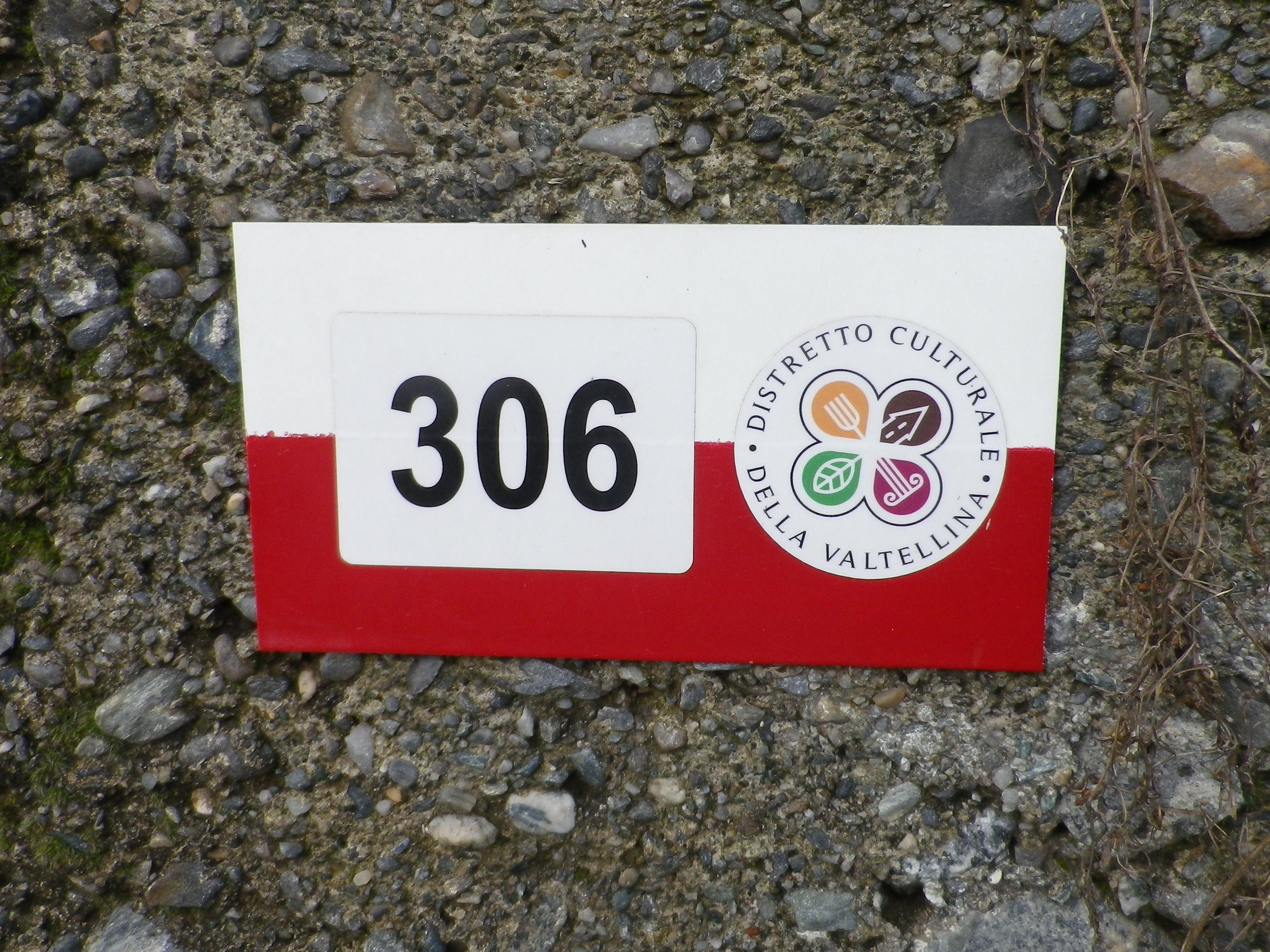
Via dei Terrazzamenti Trail Marker

Continue reading Trail in a Nutshell: Via dei Terrazzamenti II
Valtellina Vineyards I


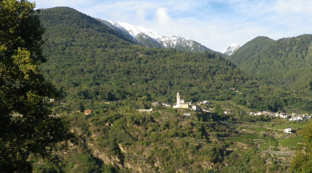
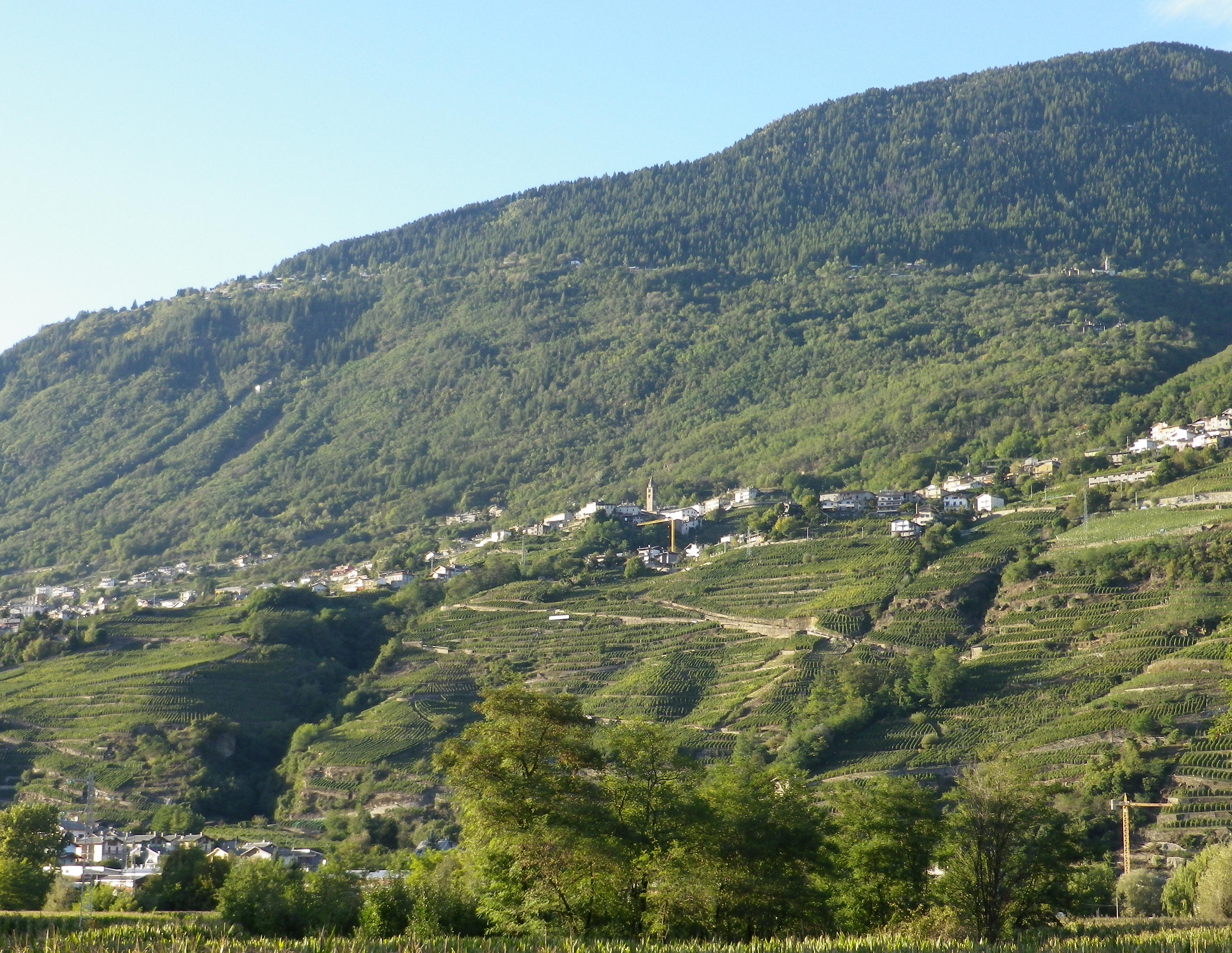
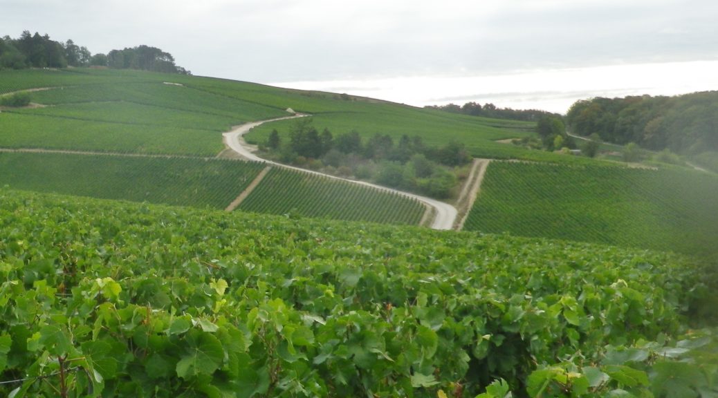
Strung together like a string of pearls, the vineyards of Valtellina occupy terraces along south-facing mountainsides in this spectacular Italian wine region. The vineyards climb vertiginously away from towns along the Adda River, up to villages clinging to the side of the mountain.

From the Adda to Montagna in Valtellina

Continue reading Valtellina Vineyards I

Wine Notes: Italy’s Valtellina I


What I Learned

Italy is famous for its for wines, especially powerful, refined reds such as Tuscany’s Brunello, Valpolicella’s Amarones, and Piedmont’s Barolo and Barbaresco wines. The Valtellina region of Lombardy, Italy, also produces well-regarded, powerfully flavorful, red wines, and made from the same varietal that produces Barolo and Barbaresco. It also produces wine in a process similar to Valpolicella’s Amarones. Lovers of such powerful reds will find Valtellina’s DOCG red wines delicious and a good value for the money.

Continue reading Wine Notes: Italy’s Valtellina I

Trail in a Nutshell: Via dei Terrazzamenti


Trail Name:  Via dei Terrazzamenti

Trail Type: Long distance; well-maintained, with a hard-packed, but occasionally uneven surface throughout, usually there is good marking on the trail, but it tends to disappear in villages and towns.

Length:

Total: 70 kilometers/43 miles (Morbegno – Tirano)

Mine: 14 kilometers/8.5 miles (Chiuro – Ponchiera)

Convenient to: Sondrio, or Tirano, Lombardy, Italy

Marking:

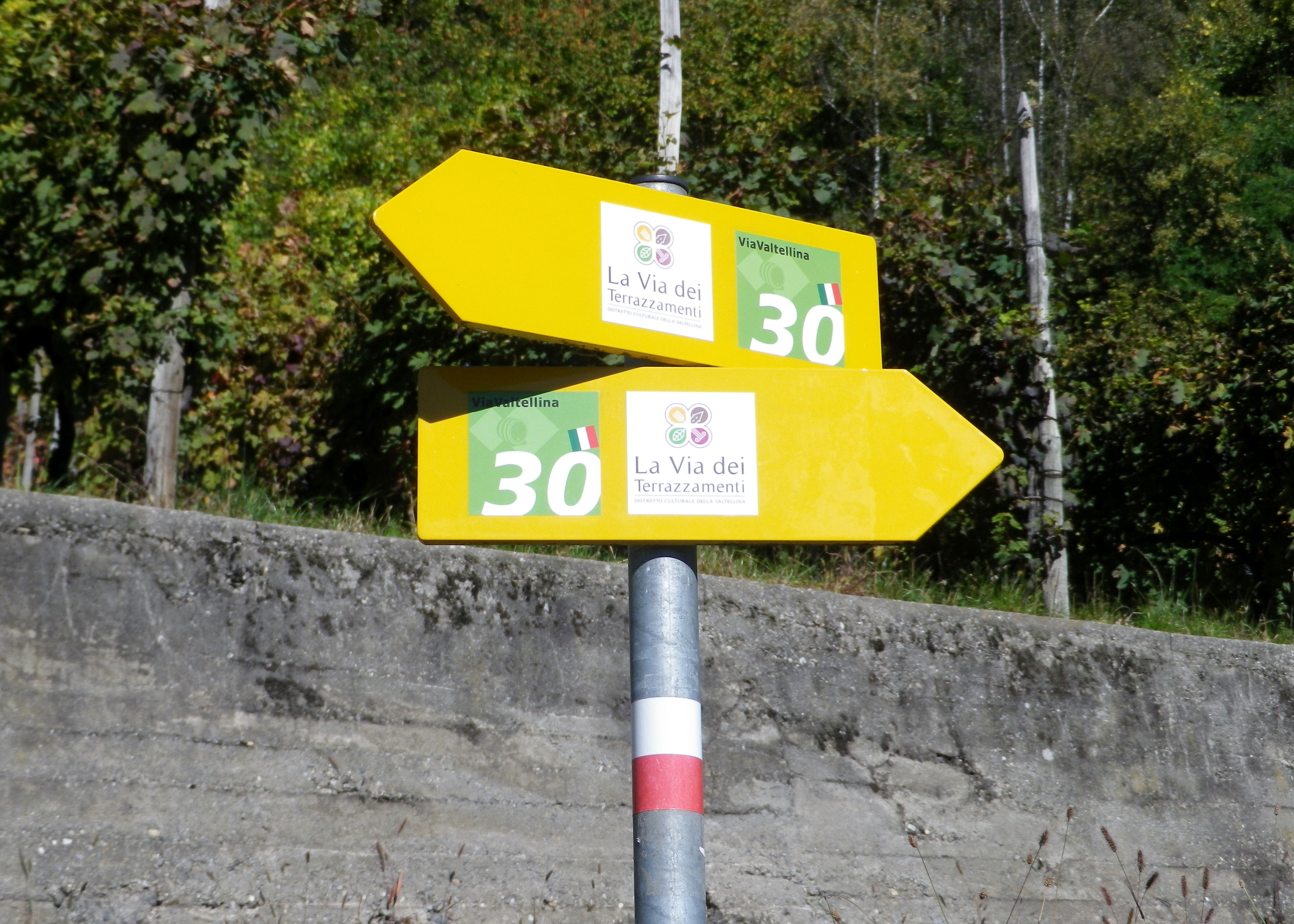
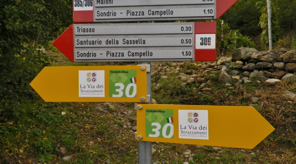
Words “Via dei Terrazzamenti” on a white background with a four-leafed clover design inside; sometimes associated with a metal yellow arrow.

White over red horizontal bars indicate a hiking trail generically

Note: The photo below shows all of the above, with the addition of an extra sign on the yellow arrow, (with a number thirty), indicating a different trail as well.

Signage: Via dei Terrazzamenti

Continue reading Trail in a Nutshell: Via dei Terrazzamenti

Climbing for Wine


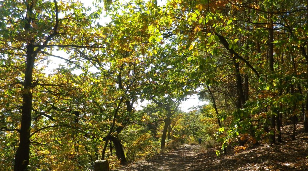
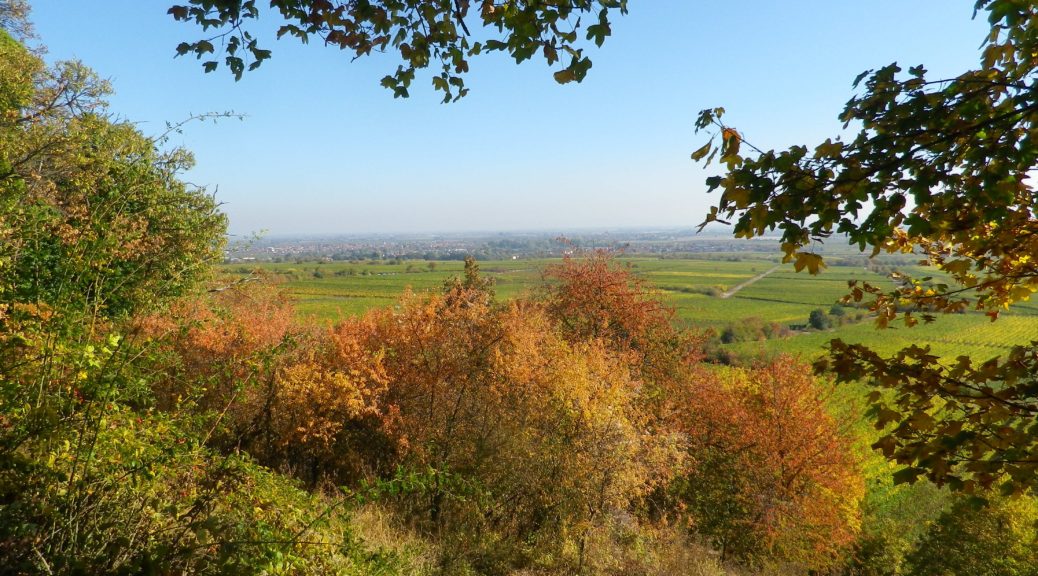
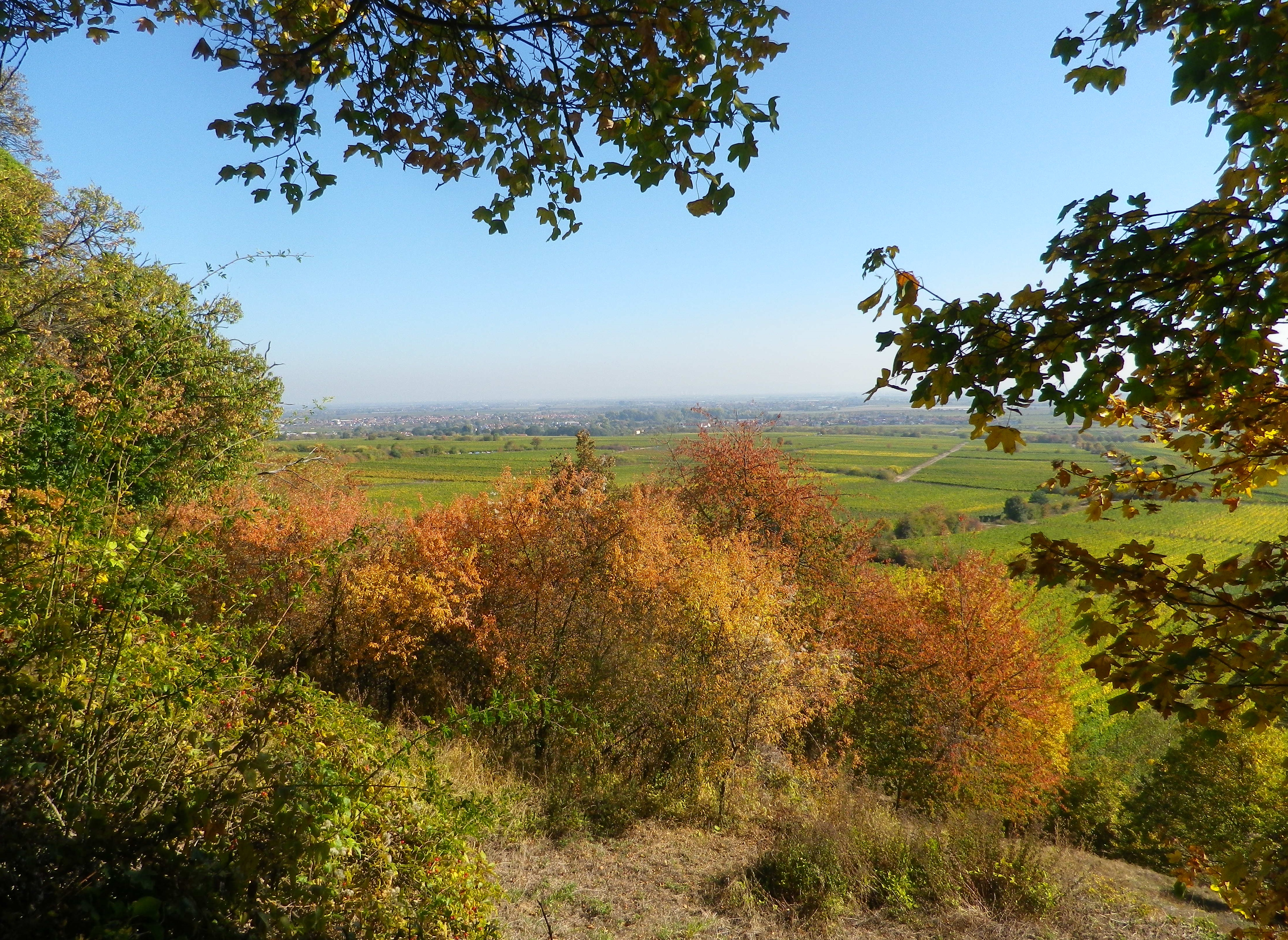
The climbs were steep, but the views were very rewarding. With more time, I would have done more climbs. In fact, in my castle hiking days, I had already hiked to several highpoints and castles on this trail: the Neuleiningen, the Wachtenburg, Hambacher Schloss, the Kalmit lookout, and that is just in the Mittelhaardt district. But at 185 kilometers, I didn’t have enough vacation days left! So perhaps on some other trip to Germany, I will be able to complete the Pfaelzer Weinsteig Trail.

For hikers looking for an intimate experience of the Pfalz wine region, this trail covers much of the region, as does the Wanderweg (Hiking Trail) Deutsche Weinstrasse (see the Nutshells here and here). The similarities between the two is that each pass through famous wine towns and villages, where there are countless opportunities to sample the wines and visit wineries. They both also cover a variety of landscapes from urban, to vineyard to forest. The big difference is the level of difficulty. The Wanderweg Deutsche Weinstrasse is rather easy, with only a few steep climbs into woodlands. On the other hand, the Pfaelzer Weinsteig climbs from the villages, often located at the base of the hills, far into the hills of the Pfalzer Wald forest. In that sense, the trail is physically more challenging, and more diverse.

On the Trail: Rhine River Valley

Continue reading Climbing for Wine

Wine Notes: Mittelhaardt


What I Learned

Germany’s Pfalz wine region is divided into two parts, the northern district of Mittelhaardt/Deutsche Weinstrasse, and the Suedliche Weinstrasse which is located south of Neustadt an der Weinstrasse. This entire region produces both red and white wines, with white wines making up approximately two-thirds of the overall annual production.

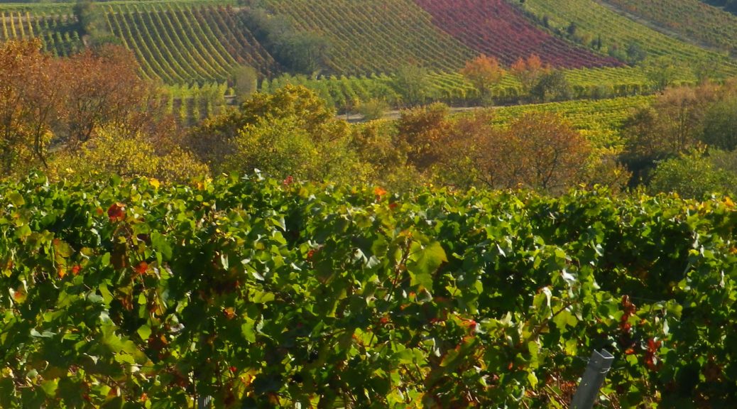
The Mittelhaardt/Deutsche Weinstrasse district runs along the Haardt mountains, facing east on gentle slopes in the optimal rain and wind shadow formed by the mountains covered by the majestic trees of the Pfaelzer Wald forest. This district, which begins in Bockenheim and continues to south of Neustadt, is in one of the warmest and sunniest regions of Germany. It contains towns and villages famous for their wines, as well as their lively wine festivals. Bad Duerkheim, with its Wurstmarkt in September, Neustadt with its Weinlese festival, in October, are two of the most famous wine festivals in Germany.

Continue reading Wine Notes: Mittelhaardt

Pfaelzer Weinsteig: Trail in a Nutshell


Trail Name:  Pfaelzer Weinsteig

Trail Type:

Long distance trail; well-maintained albeit with some rougher stretches along the segments through the forest and hills, naturally, marking on the trail very good overall

Length:

Total – 185 Kilometers/114 miles

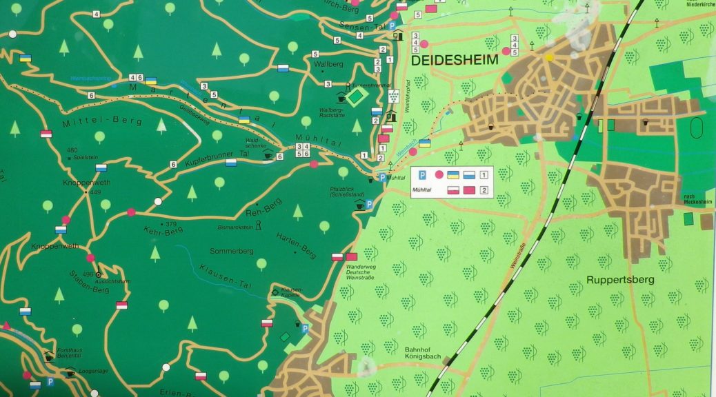
Stage 4: 20 kilometers/12.5 miles (Deidesheim to Neustadt an der Weinstrasse)

My segment*- 7.5 kilometers/ miles (Train station, Deidesheim to Gimmeldingen)

Convenient to:

Bad Duerkheim or Neustadt an der Weinstrasse, Rheinland-Pfalz, Germany

Marking:

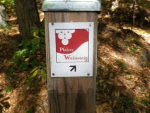
Red and white square, with white grapes on red background, trail name in red and white letters, alternatively simply red over white stripes

Signage Pfaelzer Weinsteig

Continue reading Pfaelzer Weinsteig: Trail in a Nutshell