Trail Name: The Way of Saint James (Chemin de Saint Jacques de Compostelle)
Trail Type: Long distance; much of it paved (in this section), well maintained, and fairly well marked.
Length:
Total – Approximately 2000 kilometers (to reach Santiago de Compostela, Spain, from northern Alsace)
Segment – 7.5 kilometers/ @4.5 miles
Convenient to: Colmar, Alsace, France
Marking:
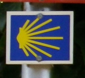
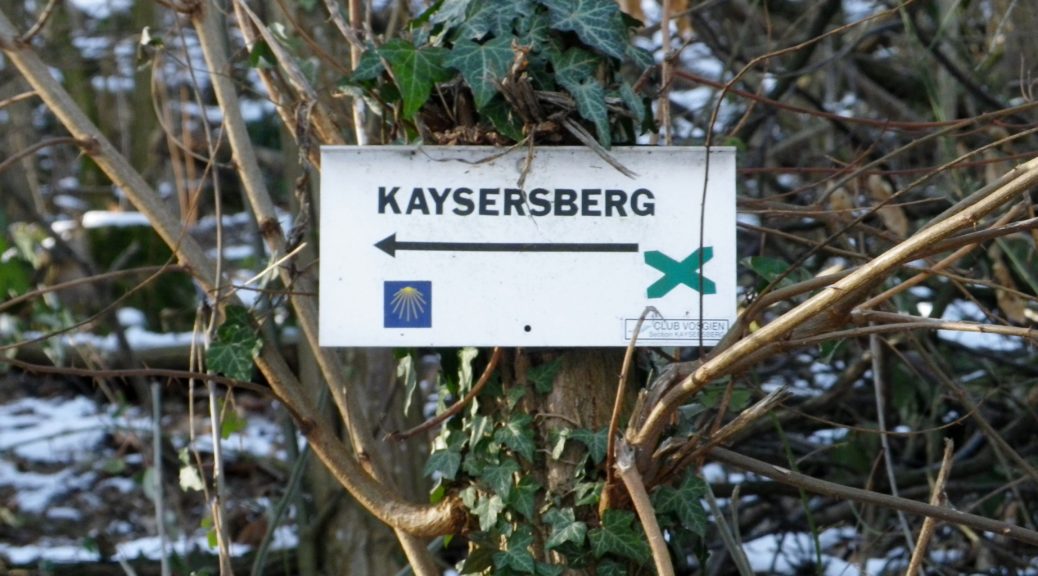
“Chemin de Saint Jacques de Compostelle” (Stylized cockleshell of yellow rays on a blue background)

Trail Description:
The Way of Saint James is a well-known, millennial-old, pilgrimage trail that leads to the church of Santiago de Compostela at the edge of northwestern Spain. Many trails now link to it from all over Europe, and converging first in France north of the Pyrenees Mountains, then again in northern Spain. It has become increasingly popular in Europe to walk “The Way”, so many of the trails I have come across throughout France and Germany are fairly populated, well-maintained and well-marked. This segment was just so, in addition to being fairly flat, and rather easy, albeit almost completely shade-less.
Trailheads:
Riquewihr: Porte Haute (upper gate), upper end of Rue du General de Gaulle by Place des Charpentiers
Kaysersberg: Rue du Chateau x Rue du Tir
Parking: (Fee-parking only)
Riquewihr: Place des Charpentiers, Rue du Steckgraben, Place Jean Monnet
Kaysersberg: All parking off Route de Lapoutroie/D415; follow the signs from there.
Public Transportation Options:
Bus: Ligne de Haute Alsace, line 145, serves Kaysersberg from Colmar; Ligne de Haute Alsace, line 106, serves Riquewihr from Colmar
Rail: SNCF trains serve Colmar, and acts as a hub for the buses servicing the small villages around it.
Suggested Stages: Not Applicable
Trail Itinerary-Reference Points:
Riquewihr: Rue des Remparts, Avenue Mequillet, Rue des Vignes, Oberbergweg, Vineyards, a sudden right hand turn uphill at a four-way intersection on the downhill slope into Kaysersberg, tree line, Chateau de Kaysersberg
Representative Trail Photos:


Restrooms:
Riquewihr: Rue de la 1ere Armee, and on the lower end of Avenue Mequillet (by Place Jean Monnet)
Kaysersberg: Next to the Mairie (town hall/hotel de ville, (with a tourism office)), on Rue du General de Gaulle.
Attractions on or near Trail:
Both villages are medieval in nature and aspect, and both are surrounded by vineyard- and forest- covered hills, and other small villages.
Tasting along the Trail:
Within both Riquewihr and Kayersberg there are several family-owned wineries where you can sample and buy local Grand Cru wines.
Alternative Options:
Hiking: A short circuit around Riquewihr vineyards called “Perles du Vignoble”, part of the much larger circuit, “Sentier Viticole des Grands Crus.” See the Nutshell.
Biking: The almost 90 miles (140 kilometers) Veloroute du Vignoble d’Alsace, (Bike Trail of the Vineyards of Alsace) leads from points north through Riquewihr to Kaysersberg and much further south.
Car: Route des Vins d’Alsace, a 170 kilometer-long (105 miles) wine tourism route passing through many of the region’s wine villages and along the vineyards.
Additional Information:
Regional: http://www.kaysersberg.com/ and http://www.ribeauville-riquewihr.com/en/
Trail (segment) specific: For good general guidance for this and nearby segments of The Way, see http://www.tourisme-alsace.com/medias/pdf/randonnee/68-saint-jacques-de-compostelles-alsace.pdf
Comments:
“The Way” as it is simply known, is short for “Way of Saint James” (in English), “Chemin de Saint Jacques de Compostelle” (in French), “Jakobusweg” (in German), and “Camino de Santiago” (in Spanish). Of intense historical significance now, and intense religious significance over the centuries to many western Europeans, this pilgrimage route helped and still helps people from all over Europe connect and experience what many have described as one of the greatest experiences of their lives. Of the many accounts covering the history, significance, and experience of the Way of Saint James, my personal favorite remains the one by James Michener in his epic Iberia.
