Monthly Archives: September 2016
The Ring of the Black Rooster
The Ring of the Black Rooster
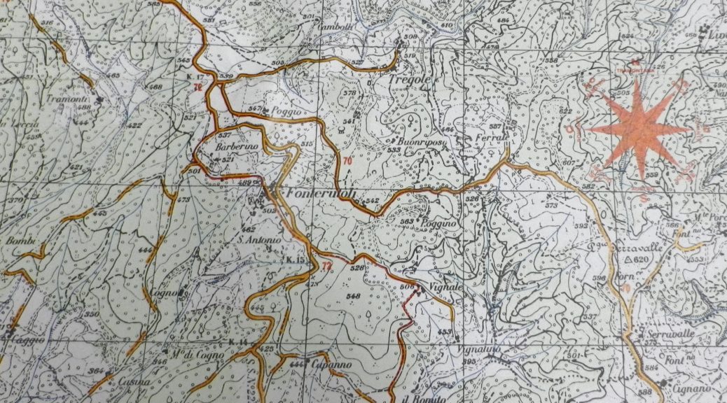
At long last: I found a designated hiking trail in the Chianti region that focused on an area of vineyards and wines outside Castellina in Chianti in the Chianti Classico wine district! Communal or regional trails for wine-lovers are seemingly rare in this corner of Tuscany. So when online research finally produced information about the Anello del Gallo Nero trail, I was eager to hike it, especially as it was named after the Chianti Classico trademark, the black rooster.
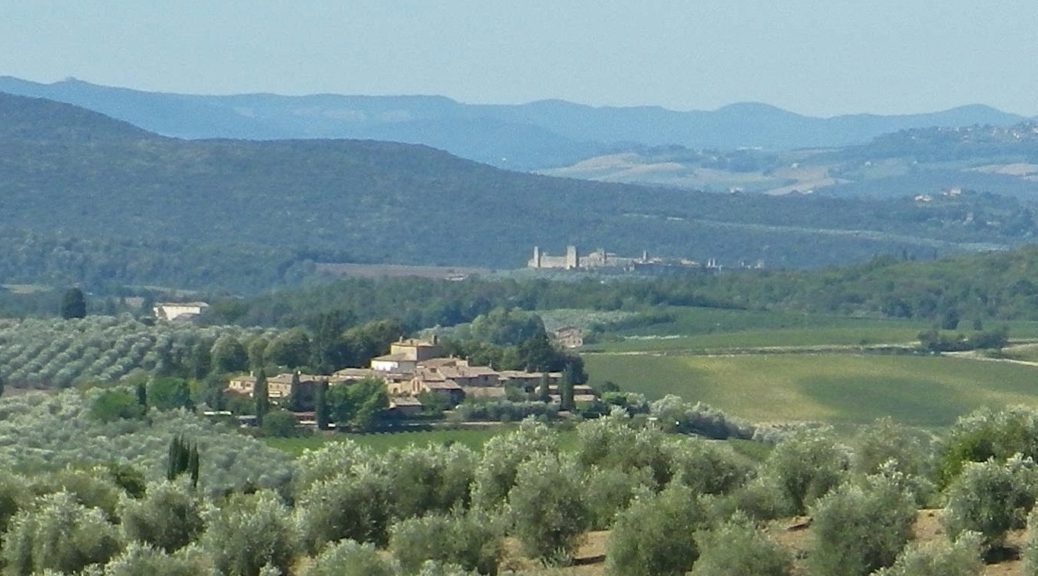
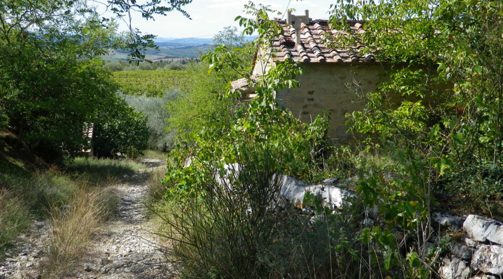
A lovely characteristic of the Chianti landscape is its variety. Agriculture here is intensive, not invasive, done on a small scale. Small olive groves are tucked between rows of vines. Fields of grain, small patches of amber in the distance, are scattered throughout. The forests play an integral role as well, providing a wide range of resources from firewood to wild boar, berries, and chestnuts. This manner of resource exploitation has left lots of remote, delightfully hidden corners to explore. Therefore, this hike offered varied landscapes to savor, experience and photograph.
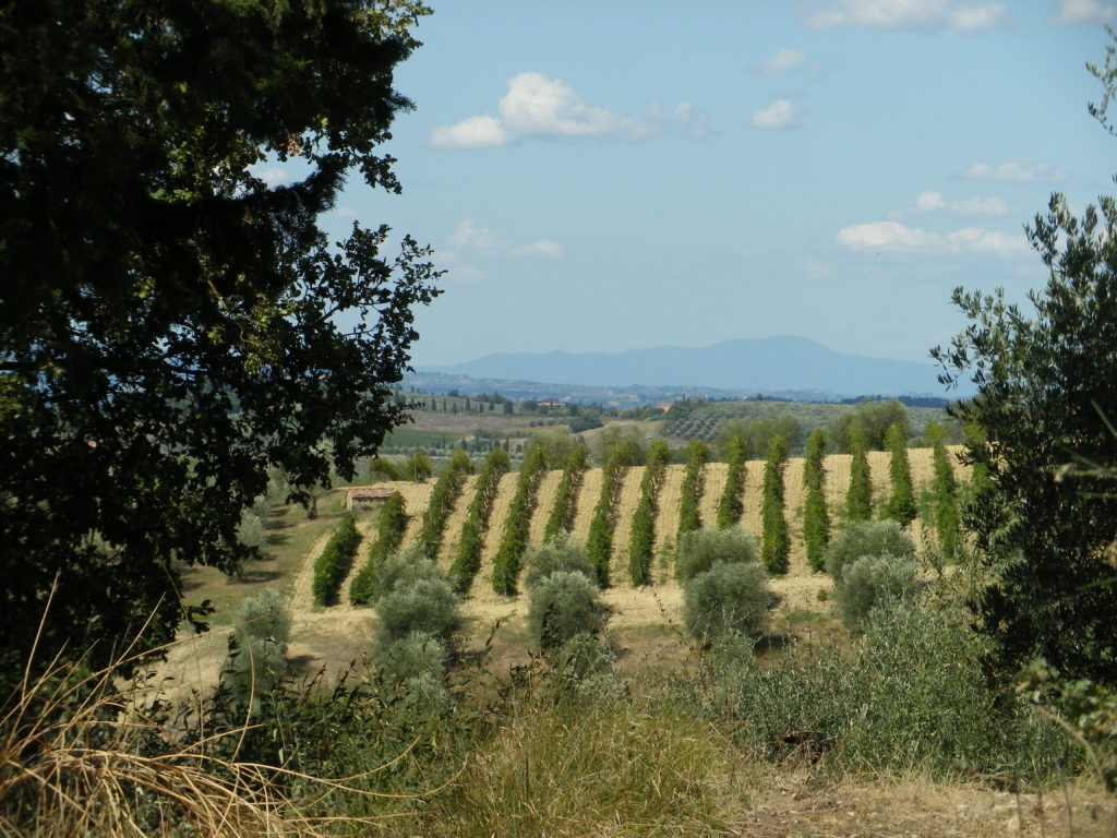
Wine Notes: Chianti Classico III
What I Learned (Varietals)
The classic heart of Tuscany is Chianti, between Florence and Siena. And the classic heart of Chianti lies around the towns of Radda in Chianti, Castellina in Chianti, and Gaiole in Chianti. These small towns formed the original Lega di Chianti (an economic and defensive alliance). These towns have always been found in wine district of Chianti (be it the original designation in 1716, or the latest one in 1996). Nowadays the Black Rooster of Florence serves as a symbol of their Chianti Classico wines.
Anello del Gallo Nero: Trail in a Nutshell
Trail Name: Anello del Gallo Nero (AKA: Vino e Architettura)
Trail Type: Medium distance hiking circuit; almost exclusively gravel, or uneven surface, not maintained, and not marked.
Length: total: 13 kilometers/ 8 miles
Convenient to: Castellina in Chianti, Italy
Marking: None!
On A Lemberger Tour
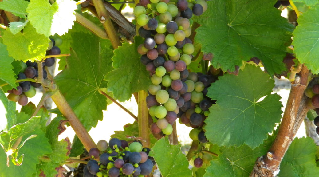
Lemberger is an important varietal in Wuerttemberg. Its red wine, especially when mixed with Trollinger, is a popular local beverage. Not surprisingly, a circuit bicycle trail in the northwestern corner of the state is devoted to it, and this is the story of that trail.
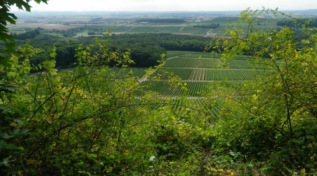
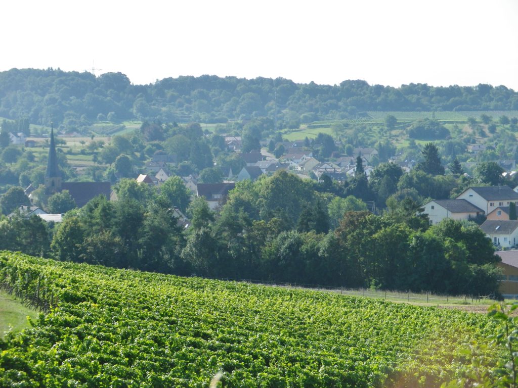
The trail has history too. Technically starting in an area known as the Kraichgau (not to be confused with the smaller wine district known as Kraichgau in the Baden wine region, with which Wuerttemberg shares this area), it has been an agricultural area for a long, long time. Its name Kraichgau, is believed to derive from the Celtic word for loam. The loamy soils are good for vines. Additionally, this area, and indeed the trail itself, is dominated by the Heuchelberg, a massive ridge with multiple peaks. Its steep slopes provide good drainage, and maximize sunlight on the vines ranging up its southern exposures. Kleingartach, one of the wine villages on the slopes of the Heuchelberg, has presumably had vineyards ever since its donation to the Carolingian Lorsch Abbey in the eighth century. And this is the village where the trail began.
Wine Notes: Wuerttemberg’s Heuchelberg
What I Learned
One of the Wuerttemberg’s many wine zones in the Unterland district, the Heuchelberg, is located west of Heilbronn. The area is known as the land of 1000 hills, perfect for planting vineyards!
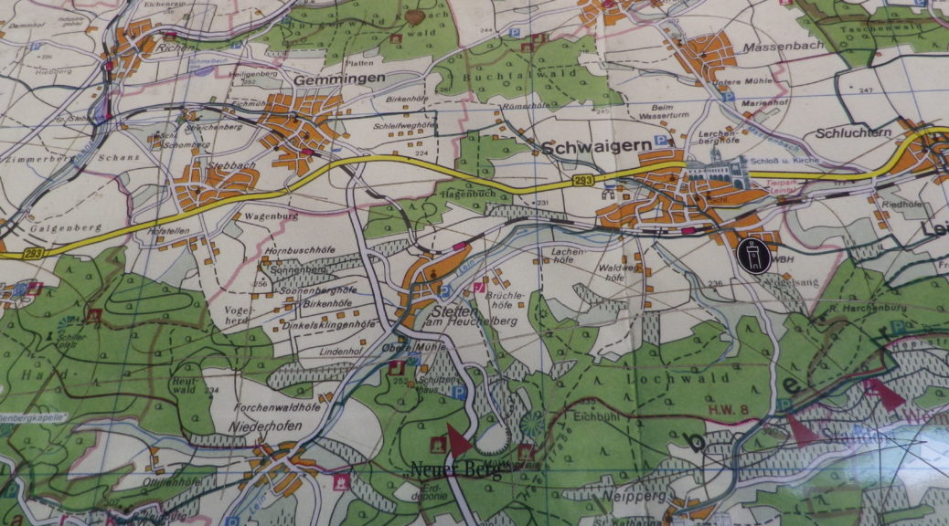
The Heuchelberg is a long mountain ridge in this area. Heavily wooded on top, its south- and west- facing slopes are well situated to catch the rays of the sun. Viticulture is one of several agricultural endeavors practiced here. (Grains, corn, and fruit trees are some of the other local products of the land.) Little villages nestle in sheltered contours of the ridge, and some, like Neipperg and Haberschlacht, are known as wine villages. The main towns (and wine centers) around the Heuchelberg are Eppingen, Schwaigern and Brackenheim.
Lemberger Tour: Trail in a Nutshell
Trail Name: Lemberger Tour
Trail Type: Mid-distance bicycle circuit; either hard-packed or paved surface, well maintained, and distinctively marked in some places.
Length: Total: 43.5 kilometers/ 27 miles
Convenient to: Heilbronn, Germany
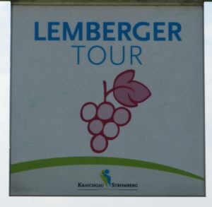
Marking: A small square sign with a stylized red grape bunch, and the words “Lemberger Tour” in blue letters on a white background.
