Trail Name: Terrasses de Lavaux
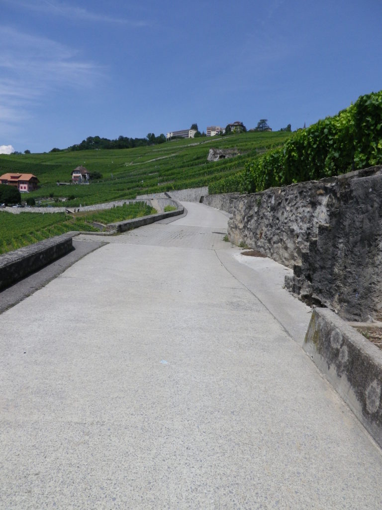
Trail Type: medium distance hiking trail; almost exclusively paved, well maintained, and mostly marked, but not consistently.
Length: total: 11 km/6.85 miles
Convenient to: Lausanne, (Lake Geneva), Switzerland
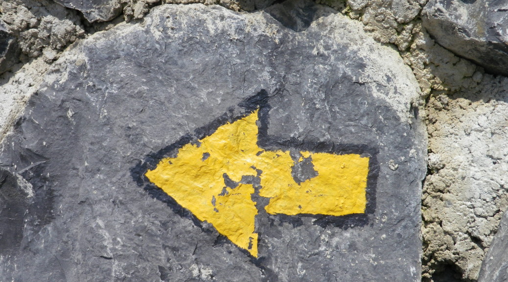
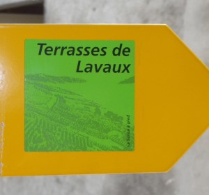
Marking: Terrasses de Lavaux written in black on a green square, on yellow arrows, (or sometimes just a painted yellow arrow.)
Trail Description: Sometimes relatively flat, sometimes steeply inclining as it switches between villages and terraces, this hike provides dramatic mountain and alpine lake scenery along with intimate views of wine villages. While most of this hike was along paths used only by hikers and agricultural vehicles, sometimes it followed very slightly used roads.
Trailheads:
Saint Saphorin: train station (below Route Cantonale)
Lutry: train station on Avenue de la Gare
Parking Possibilities:
Saint Saphorin has parking spaces along Route Cantonale (Route 9), and Chemin Neuf, but be sure to park in those sections designated for longer term stays.
Rivaz had parking spaces near the cemetery on Chemin de Rosset.
Public Transportation Options:
Rail: S1 from Lausanne to Vevey is the most convenient, albeit generally running only once an hour.
Ferries serve many communities on the lake, to include French ones. For purposes of this hike, you can use the ferries serving the communities of Rivaz, Cully, and Lutry. (These ferry stops are approximately 500 meters/half a mile from the trail, but not on it.)
Suggested Stages: Not Applicable
Trail Itinerary-Reference Points:
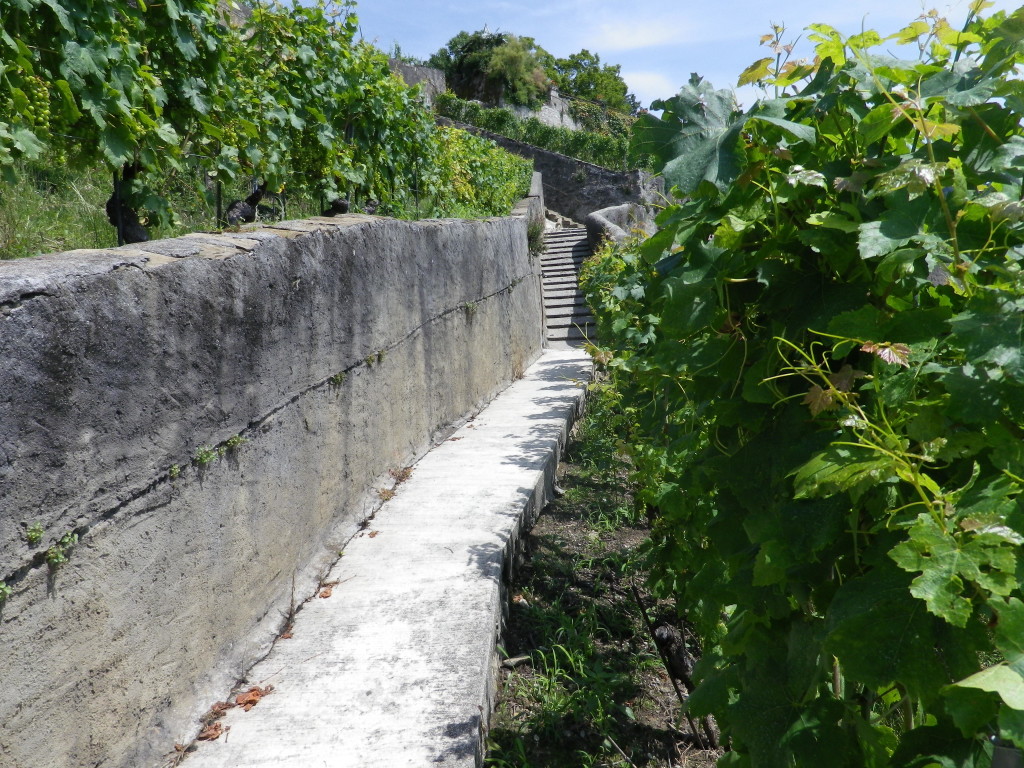
Saint Saphorin: Ruelle Romaine-Chemin du Mont-Chemin de la Vigne A. Gilles-Chemin des Paleyres; Rivaz: Chemin de Rosset-Route du College-Chemin de la Dame-Chemin du Dezaley; Epesses (small settlement, not the main section of town): Chemin du Calamin, fountain, narrow passage between high walls, steps into more vineyards; Riex: Rue des Sous Riex-Route de la Corniche-Chemin de la Mouniaz; Grandvaux: narrow concrete ridged path to Chenaux, Chemin du Carroz-Chemin de Bahyse-Dessus-Chemin de Baussan-Sentier des Grands Jardins, to intersection Grand Rue/Route de Cretaz/Route de la Petite Corniche, to Chemin des Treize Vents; Aran: Chemin des Echelettes-Route de la Petite Corniche-Chemin de Montagny; past Chateau to Chemin de la Farganne; Chemin du Cret-Chemin du Binet; Lutry: Chemin de Bertholod-Avenue de la Gare.
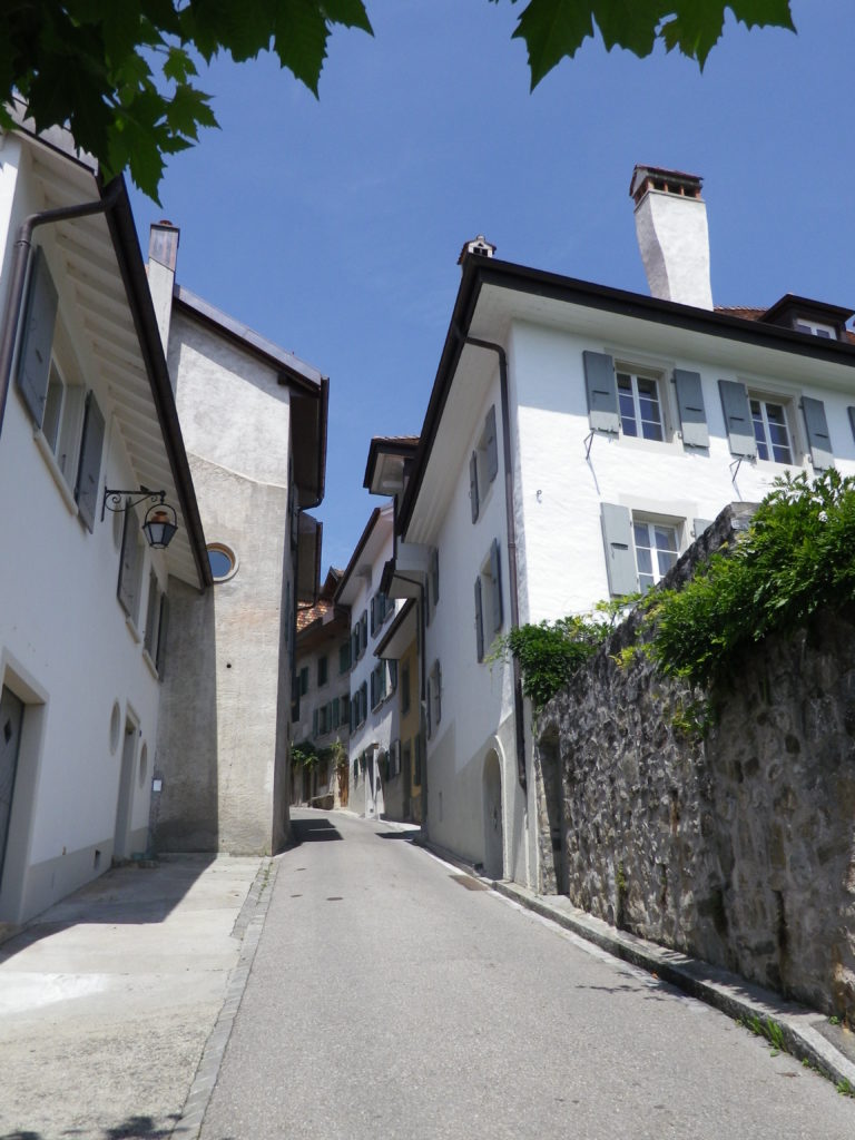
Representative Trail Photos:
Restrooms:
Saint Saphorin: behind the wine cooperative, on Chemin de l’Ancien College
Villette: near the train station, by the underpass, on Chemin de Villette
Attractions on or near Trail:
The scenery is spectacular.
Lakeside activities, such as swimming and boating.
Montreux, a town famous for elegant villas and an internationally renowned jazz festival.
Tasting along the Trail:
Several wineries and wine bars are located on or in close proximity to the trail. However, finding an open one can be problematic.
Alternative Options:
Walking: To shorten, consider returning by rail to your start point at the towns of Cully or Villette.
Car: Follow (from south to north) Route de la Corniche from Saint Saphorin to the Route de la Petite Corniche, outside Cully/Chenaux
Other: a little Train Touristique (seasonal), called Lavaux Panoramic, covers some of the trail, making several stops along the way.
Additional Information:
Regional: http://www.lavaux-unesco.ch/en/N5733/discover-lavaux.html?M=6337
Trail (segment) specific: http://www.wanderland.ch/en/routes/route-0113.html
Comments:
Plan on at least 4 hours to complete this hike, versus the suggested 3 hours and 15 minutes.
This trail has steps, and several steep inclines, so it might not be suitable for people without good aerobic capacity.
There is very little shade along the route.
As several reviewers on popular travel sites have noted: finding an open winery can be a challenge, depending on what day, or what time you do this hike. So plan ahead if you wish to visit wineries on your hike.
