The Steigerwald, in Franconia, is a wonderful area. Unlike the other wine districts in the region, the Steigerwald is away from the Main River, and does experience a bit more variance in the weather. One March, hiking the Steigerwald on the first weekend of March, I failed miserably due to snow and ice. (See that story here.) Another March, a year and three weeks’ time difference, sunny skies and dry trails resulted in one of the most memorable hikes I ever completed in Germany.
I began in Castell, a delightful village with a good reputation for its wines. It is nestled at the base of low, vine-covered hills. This iconic village comes complete with a castle in its park, narrow streets and lanes filled with historic houses, and a church. But it was not alone – all the villages on the trail of this hike were just as charming.
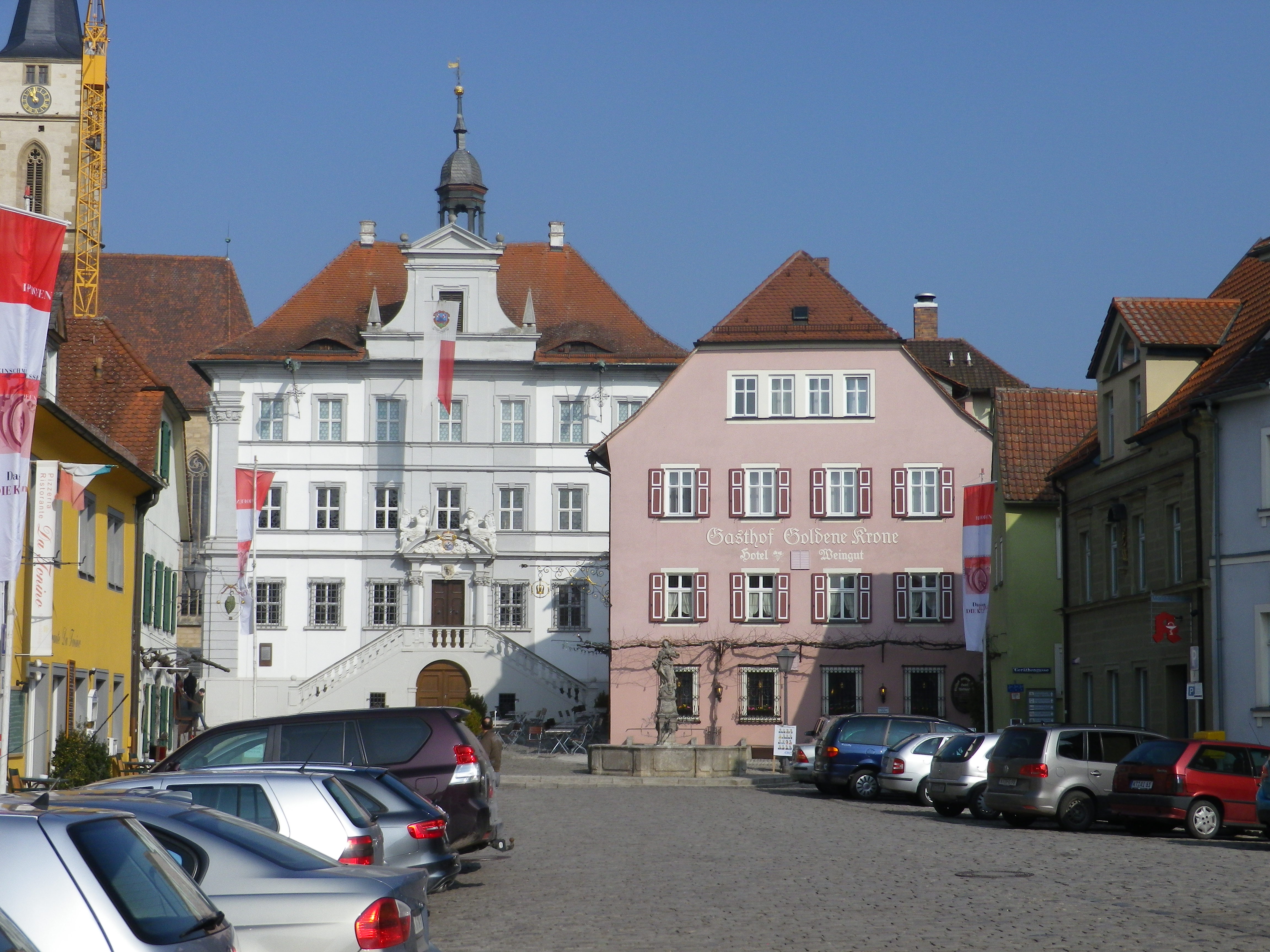
All had the remains of medieval village centers. These often radiating out from a church and small schloss (palace) in the center – showcasing the power of both church and nobility back then. Twisted lanes make way to a platz, or square, where markets would set up. Solid, middle-class homes rose up around these in later centuries. In Germany, they are usually well maintained, and a delight to photograph.
The church spire in Castell, as with the churches in Wiesenbronn and Roedelsee, had an onion-domed top. While not exactly shaped like typical Slavic ones, this part of Germany has its own, uniquely shaped onion-like domes, usually different from neighboring churches. When hiking through vines taller than me, often only church spires are visible. A comparison of photos online lets me know which village they lie in, as they are distinctive.
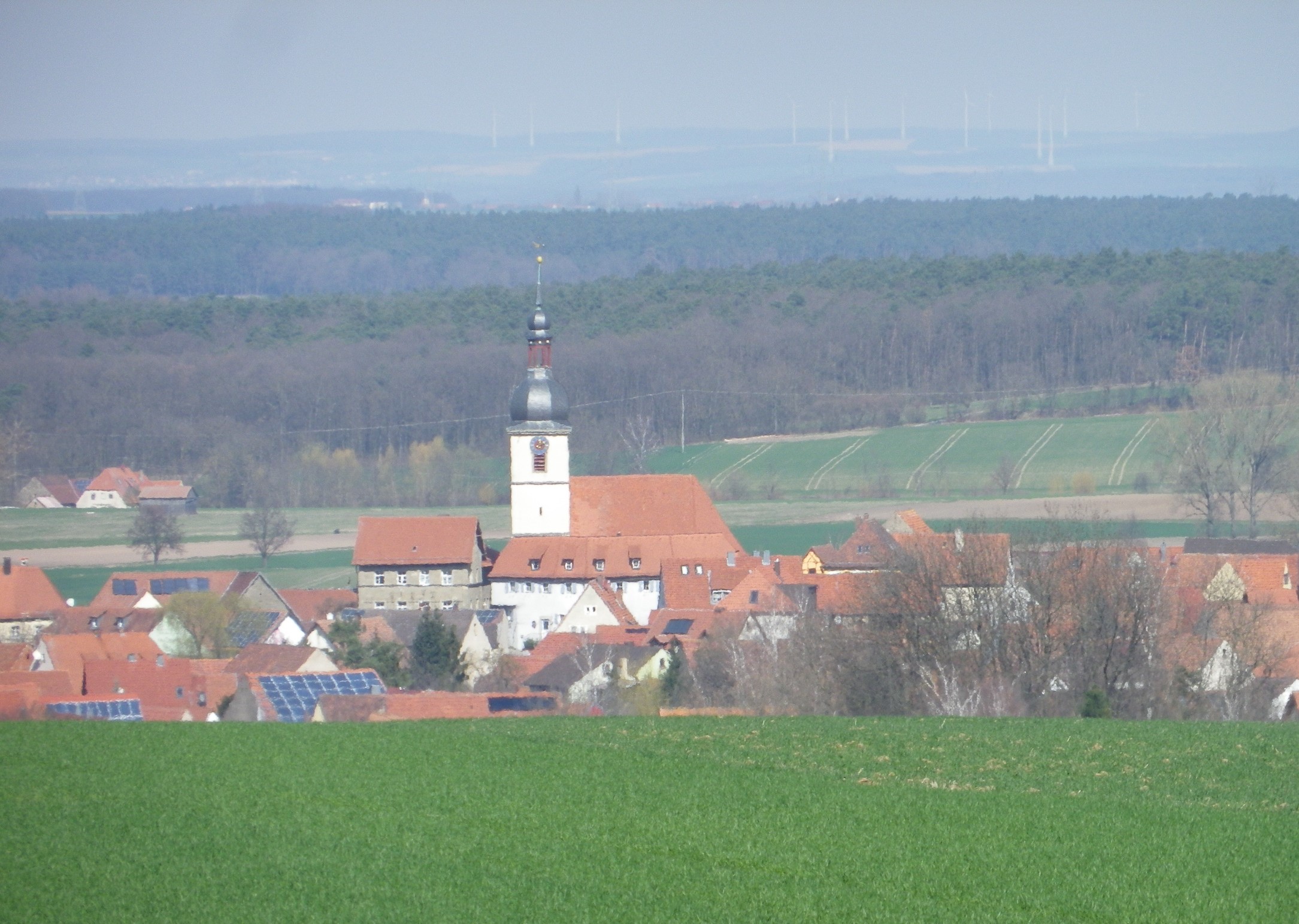
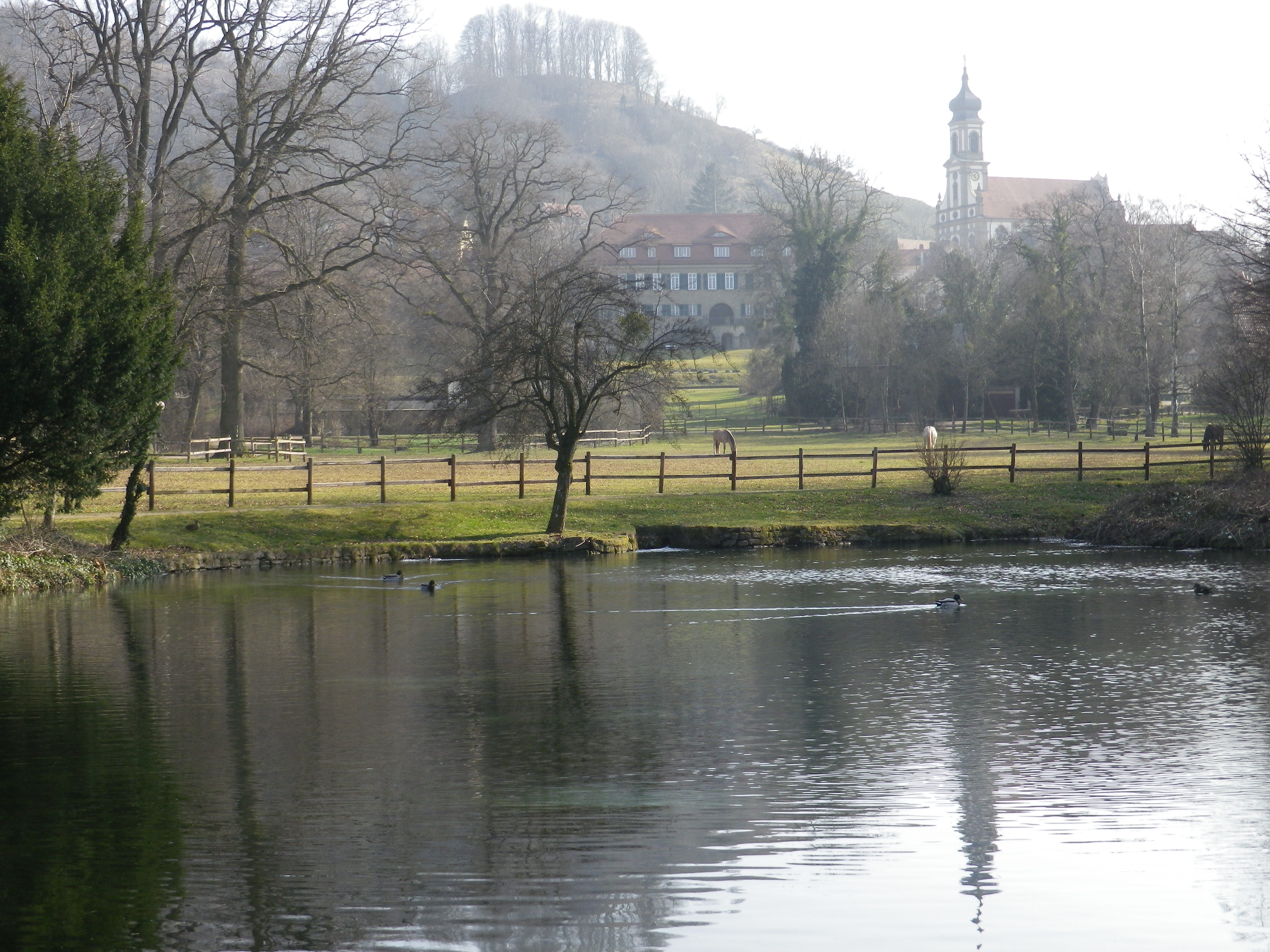
Another way in which Castell is like some of the other villages is the castles. Both Castell and Roedelsee have castles (actually palaces, as the stately home aspect, vice the defensive aspect, prevails). Wiesenbronn had a water palace, which is mostly gone and now serves as a delightful park for all, overlooking the village pond.
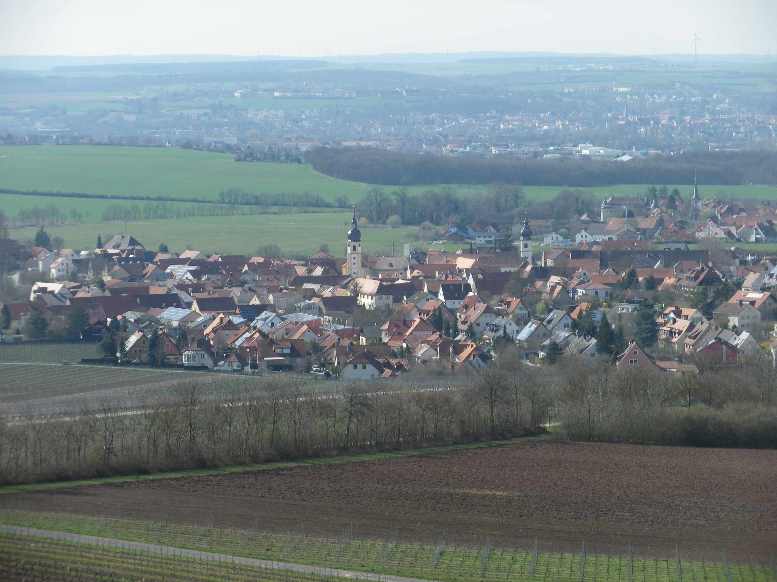
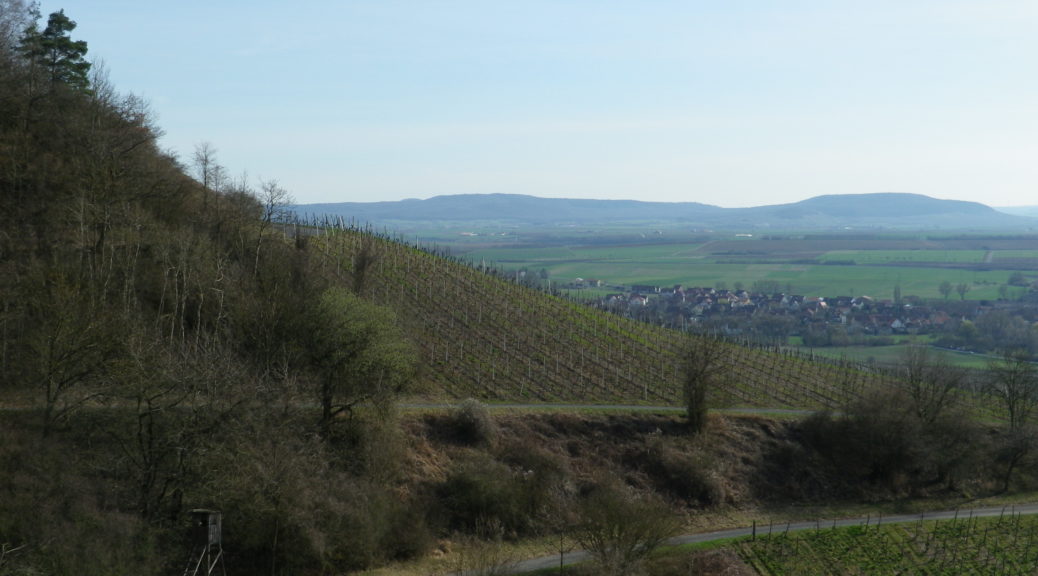
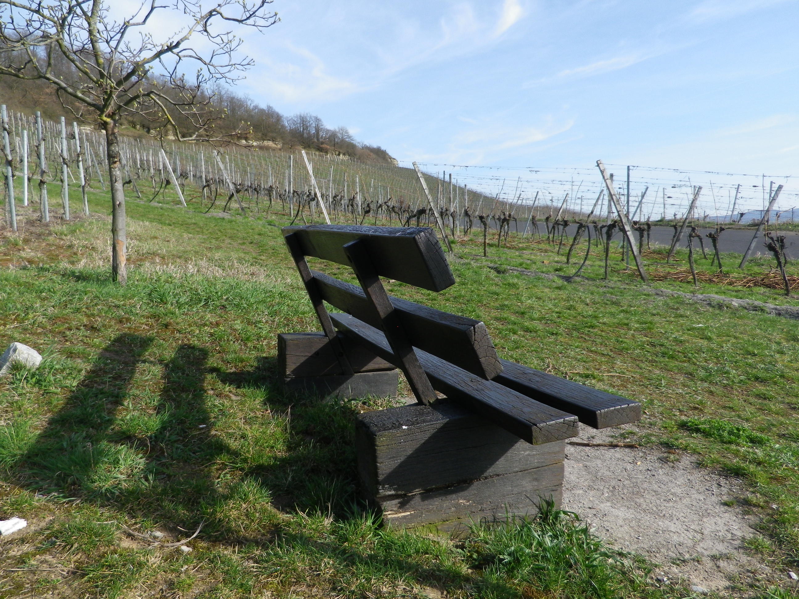
Separating the villages were acres of vineyards covering gently undulating ground. Once past Castell, Wiesenbronn, Grosslangheim, and Roedelsee, the vines on the Schwanberg mountain loomed ahead. This slope also provides great sun and drainage for the vines. No surprise then that these are some of the best vineyards in the Steigerwald. One, the Julius Echter Berg, is marked with educational panels, as well as a lovely seating and picnic area.
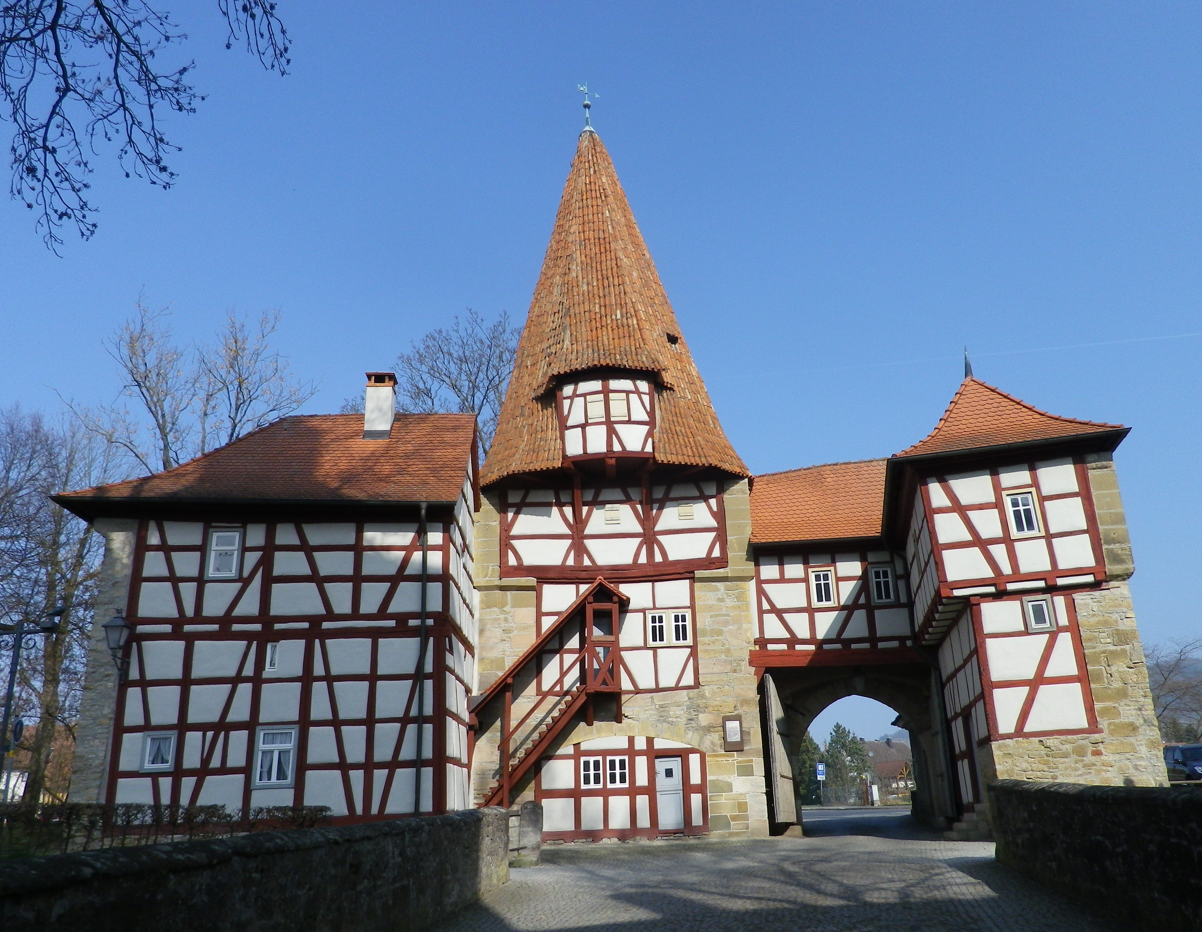
Up high, the views over the villages, and out to the Main River, were magnificent on a clear and sunny day. The small city of Kitzingen five miles to the west. Much closer, at the foot of the Schwanberg, lay the trail’s end in the village of Iphofen. Unlike the other villages along the trail, this one still has most, if not all of the town walls. Additionally, impressive tower gates still mark some entrances. Passing through the famous Roedelseer Tor (Gate), it is obvious this was a wealthy village, with a couple of large storage barns (one for a religious organization), and a sort of customs house (for the nobles’ tax on goods). Most likely local wines were taxed or taken in kind. Based on my tastes of wines from the excellent vineyards just outside the walls, Iphofen is a great place for wine-lovers to visit at the end of this delightful trail!
