Trail Name: Rebwandern am Untersee (Grape Hiking on the Lower Lake)
Trail Type: Medium distance; almost exclusively paved, well maintained, but the route itself is not exclusively marked.
Length: total: 15.4 km/9.5 miles
Convenient to: Constance (Konstanz), Germany; Kreuzlingen, Switzerland
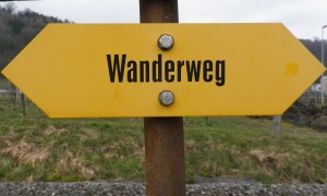
Marking: Yellow “Wanderweg” signs only; some indicating direction and distance to towns and villages.

Trail Description:
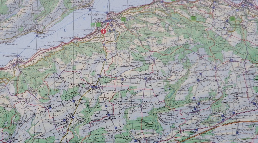
This gentle trail follows along the Untersee flood plains, meandering up to the low rises of the vineyard and fruit tree slopes, and down through the small lakeside towns and villages of the Thurgau region of Switzerland. Views of the lake, Rhine River and nearby Germany predominate
Trailhead: Taegerwilen: Hauptstrasse x Mueller-Thurgau strasse
Parking Possibilities:
Taegerwilen: Hauptstr, by church
Berlingen/Steckborn:
A medium size lot just west of Berlingen town limits (lakeside)
A couple of areas for 4 or 5 cars each along the main road (Seestrasse) between these two towns.
Steckborn: Train station
Public Transportation Options:
Rail: See https://www.thurbo.ch/. The S8 from Kreuzlingen, stops in every village along the trail.
Ferry: Stops in every village along the trail except Triboltingen. (Note: The stop for Taegerwilen is called Gottlieben, about a kilometer downhill from the trail start point.)
Bus: PostAuto 833 runs roughly once an hour between Ermatigen (train station), up the hill to Arenenberg, and back down to Salenstein.
Suggested Stages: Not applicable
Trail Itinerary-Reference Points:
Taegerwilen: Mueller-Thurgau-str x Hauptstr-Unterdorfstr, Palmenstr, traffic circle, Hauptstr, Schutzenstr; fields and vineyards; Triboltingen: Obergutstr-Bauweg, fields, forest and vineyards; Ermatingen: Immenstallstr-Schoenhaldenstr, Bergstr, Setzisstr, Arenenbergstr; Salenstein: Arenenberg-Schlossgasse-Hintergasse-Baschenweg, Knebelgasse, Seeweg-Almaend/Eschlibachweg; Berlingen: Seest, Juechstr-Obermos/Haldenstr-Bergstr-Oberdorfstr-Langgasse; fields and forest; Steckborn: Seehaldenstr-Ofenbachstr, Bahnhofstr
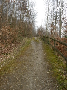
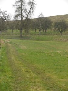
Representative Trail Photos:


Restrooms:
Ermatingen: at the cemetery, on Arenenbergstrasse
Arenenberg: Conference center
Berlingen: just west of Berlingen town limits on Seestrasse, by the lakeside parking area
Steckborn: Train Station parking lot; next to the school/large parking lot, on Seestrasse (lakeside)
Attractions on or near Trail:
Taegerwilen: Hermann Mueller birthhouse and bust of the botanist who developed the Mueller-Thurgau grape
Ermatigen: Vinorama (Hauptstr); beautiful “town” home now a museum on local wine and history
Salenstein: Arenenberg (Arenenbergstr); Gardens and castle with a museum dedicated to Napoleon and his family
Tasting along the Trail:
ThurgauWy/J Bauer: Steckborn, Seestr 116: wine shop
Arenenberg Palace/Bistro: Ermatingen/Arenenberg: If open and not busy
Alternative Options:
Running: This entire trail is suitable for running, except for a small stretch between Berlingen and Steckborn (irregular stairs)
Biking: Radtour Rund um den Untersee, an easy, (albeit a 45 mile/73 km long), family-friendly touring circuit along the Untersee/Rhein River, Hori Peninsula to Radolfzell and back to the city of Konstanz.
Additional Information:
Regional: http://www.tourismus-untersee.eu/
Trail (segment) specific: http://www.gps-tracks.com/cgi-bin/B00457_Rebwandern_am_Untersee_d_kza1apg2zmjwqnklau21rgaa.pdf
Comments:
TIP: If basing in Constance (Konstanz), for a full day of exercise, wine and the great outdoors, take the short ride on the S8 train (Kreuzlingen stop to Taegerwilen stop), hike the trail, with a break at the Vinorama and the Arenenberg Palace, and at the end of the trail in Steckborn, take the ferry (a two-hour ride with great views of both sides of the lower lake (Untersee)) back to Constance.
Along the trail, look for explanation boards on vini- and viti- culture in the area. (In German only)
Check hours for Vinorama Ermatigen (not to be confused with Vinorama Schaffhausen).
