Trail Name: Panorama Radrunde (Bodensee Tour 1)
Trail Type: Mid-distance; well-maintained and almost exclusively paved, marking on the trail fairly good
Length:
Total – 25.5 kilometers/15.5 miles
Convenient to:
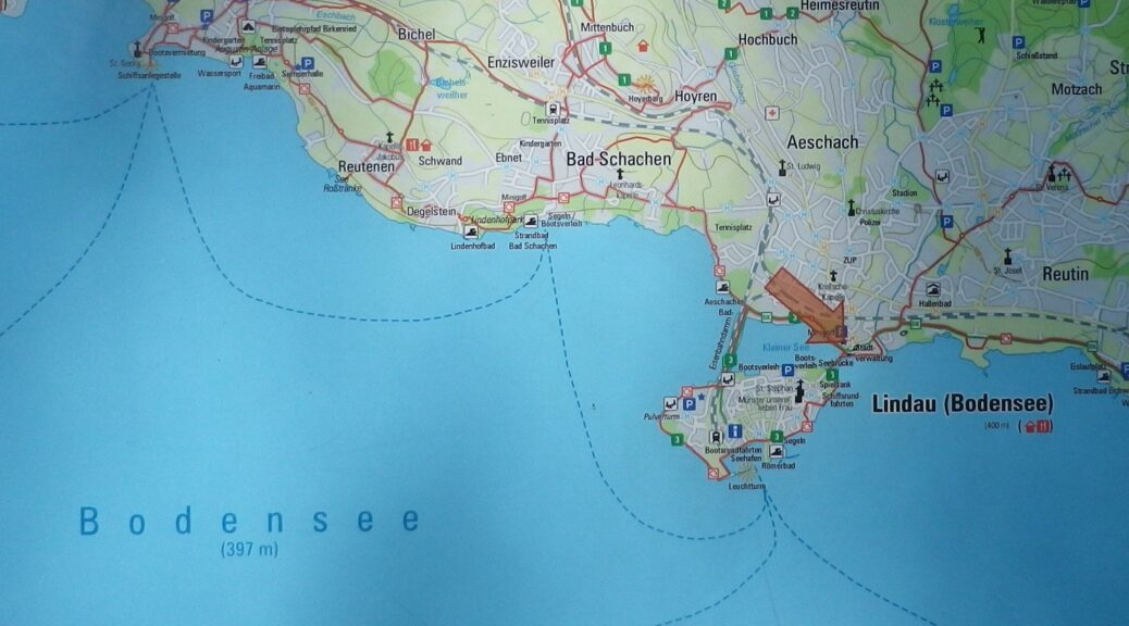
Lindau, Friedrichshafen, Germany
Marking: “1”
Trail Description:
A trail filled with great variety ranging from urban, to farmland, to beaches, to parks, flat and hilly, with wonderful scenery, and easy enough for most cyclists to enjoy the experience.
Trailhead:
Official: Lindau Train Station (Hauptbahnhof), Bahnhofplatz
Parking:
Lindau: Inselhallenparkplatz, Zwanzigerstr; P3, Europaplatz (both paid parking, but right on the trail)
Badolz: Rathausplatz
Wasserburg: Mooslachenstr (paid parking)
Lindau: Ludwig-Kick-Str 19 (opposite the Stadion)
Public Transportation Options:
Rail: Serves the principal towns (Lindau, Wasserburg am Bodensee, Nonnenhorn) from more distant hubs such as Friedrichshafen and Munich, Germany, and Bregenz, Austria
Ferries: Frequent, reliable and reasonably priced, connecting to many other lakeside destinations from Lindau and Bregenz
Bus: None on the trail
Suggested Stages: Not applicable
Trail Itinerary-Reference Points: (Counterclockwise)
Lindau: Dammsteggasse, cross bridge, Lotzbeckweg, Giebelbachstr, Schachener Str, Reutener Str, Wasserburg: Hoehenstr, Halbinsulstr, marsh and lakeside, Wasserburgerstr; Nonnenhorn: Conrad-Forster-Str, Seestr, Mauthausstr, Sonnenbichlstr, Langgasse; Wasserburg: Nonnenhorner Str, to Hege, fields, forest; Wasserburg/Hattnau hamlet/street of the same name (between Bavaria and /Baden-Wuerttemberg); Selmnau: along main street toward (but not to*) Antoniuskapelle; vineyards, then orchards and fruit fields; Wasserburg/Hengnau hamlet/street of the same name; cross B31; Rickatshofen; Unterreitnau: hamlet/street of the same name; fields; St2375; parallel B31; Bodolz/Taubenberg: hamlet/street of the same name; Bodolz: Bluetenweg, Grundstr, Rathausstr, under tracks; Schoenau: forest, Kellereiweg, Schoenauer Str/St2375, Am Entenberg; Hochbuch: Tobelstr, path off Eichbuehlweg to cross Preisingerweg, to Hochbucherweg; Schloss Moos; Lindau: Anheggerstr, Rainhausgasse, Hundweilerstr, path to traffic circle, cross bridge, Zwanzigerstr, Zeppelinstr
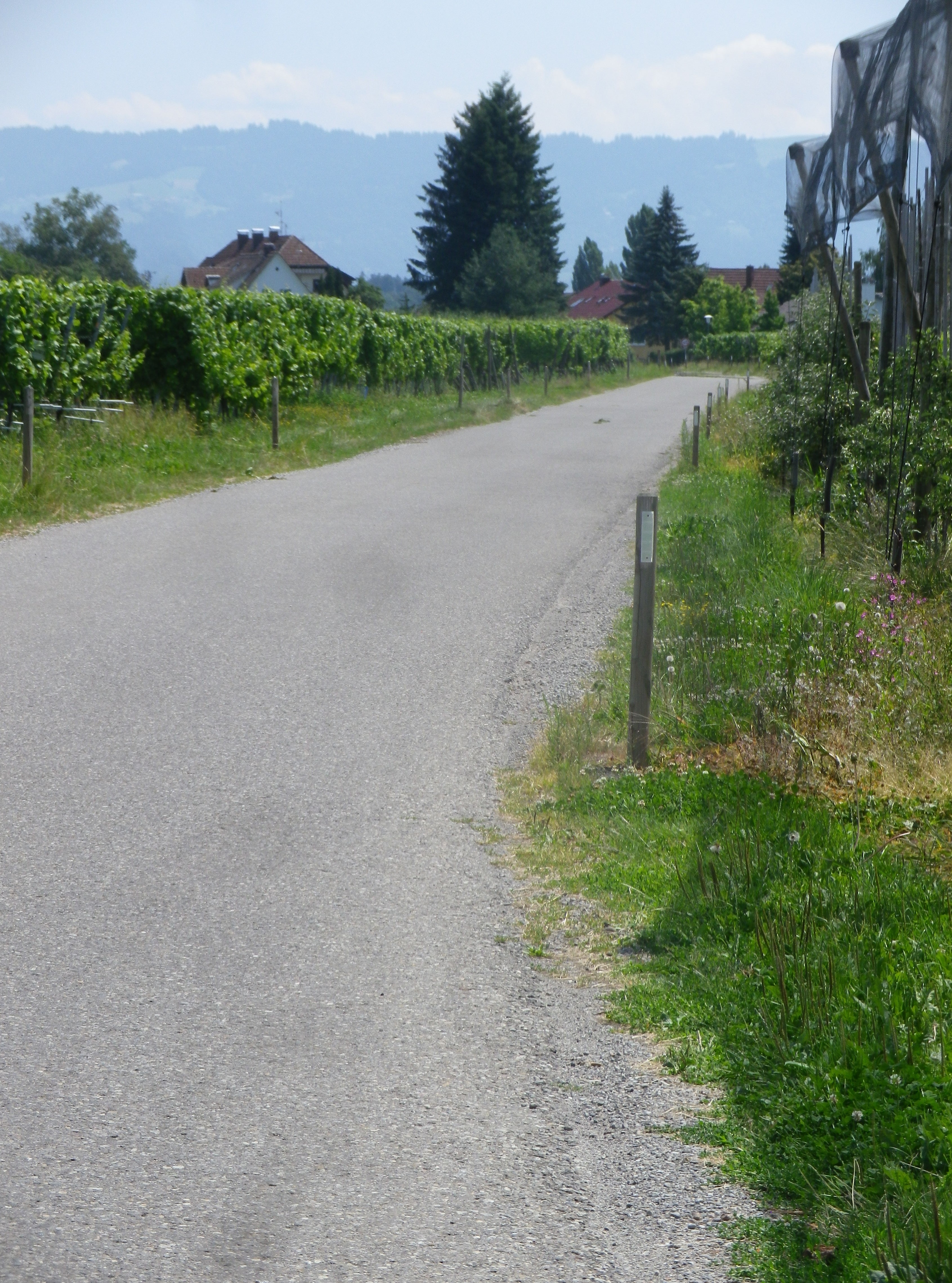
Representative Trail Photos:
Restrooms:
Lindau: Inselhallenparkplatz, Zwanzigerstr; across the street from P3, Europaplatz (pay-to-use facilities, but right on the trail)
Wasserburg: Lindenplatz, on the side of the town hall
Attractions on or near Trail:
None wine related, but lots of blue and green scenery!
Tasting along the Trail: Nonnenhorn: Sonnenbichlstr (WG Lanz); Hattnau: Pinot Weinbar, on a hillside, overlooking vineyards and the lake.
Alternative Options:
Dozens of hiking and biking paths and itineraries, but only one is wine-themed: the 3.2 kilometer walking itinerary called Geniesser Tour (Gourmet or Enjoyment Tour) (subtitled: On the Trail of Fruit, Wine, and Lake)
Additional Information:
Regional: https://www.bodensee.eu/en/where-to-travel/regions/german-lake-constance
Trail specific: https://www.westallgaeu.de/panorama-radrunde-bodensee or https://www.outdooractive.com/en/route/bike-riding/bodolz/tour-no.-1-round-lake-constance.-panoramic-bicycle-tour-round-bavarian/1527518/
Comments:
*A slight detour uphill from Selmnau to Antoniuskapelle will give riders a fantastic 3-country panoramic view
This circuit, while not specifically wine-themed, covers some of the same area on the Geniesserweg/Obst-Wein und See (Fruit-Wine and Lake) hiking circuit, and other area vineyards as well.